







Circular hiking route to Seelackenberg
The circular hiking trail to the Seelackenberg is a family-friendly hike with several refreshment stops along the way. Highlights of the trail are the fantastic view of the Tullnerfeld, the Johannes-Bildstock...
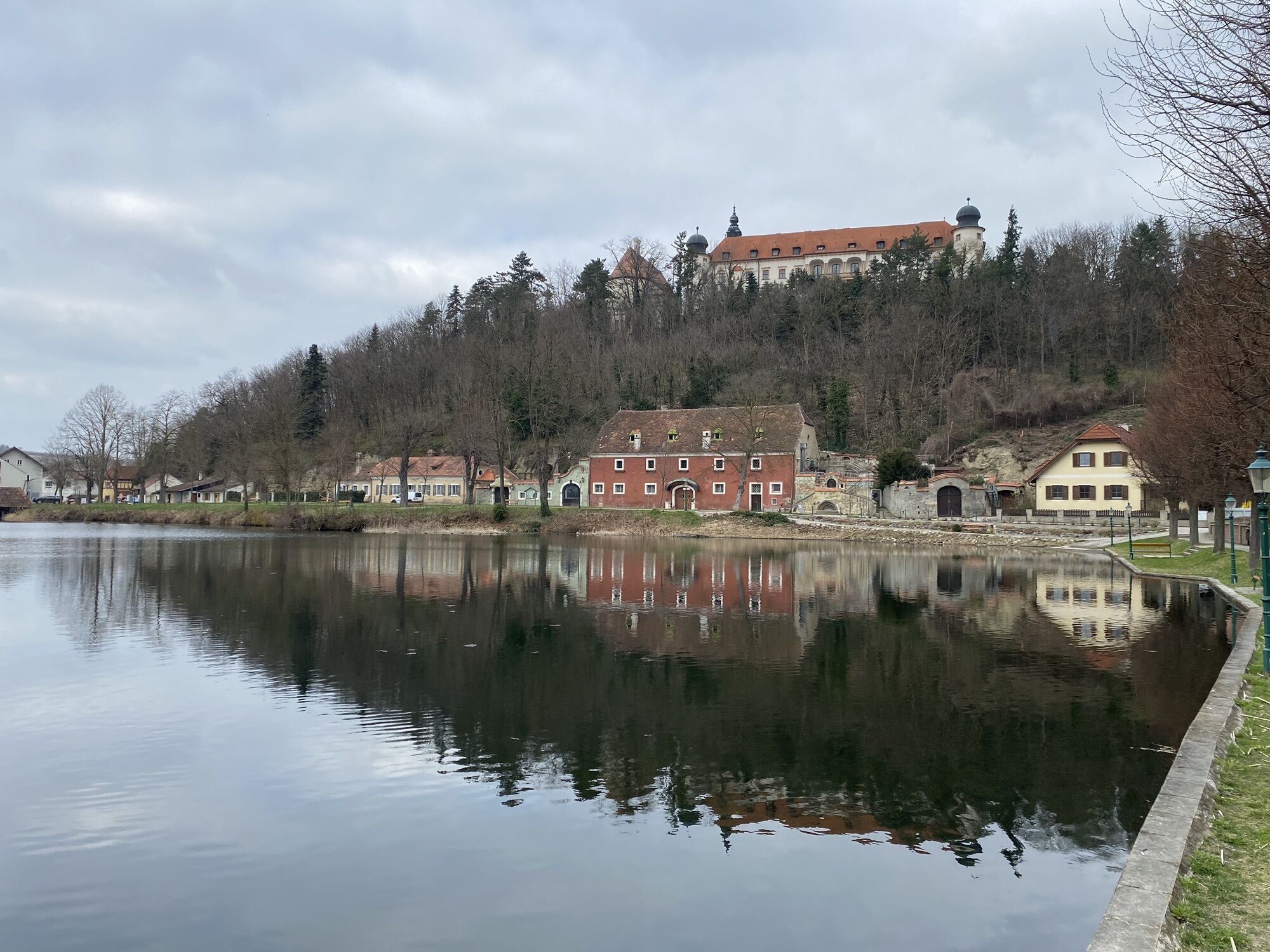
The circular hiking trail to the Seelackenberg is a family-friendly hike with several refreshment stops along the way. Highlights of the trail are the fantastic view of the Tullnerfeld, the Johannes-Bildstock (former sermon column of the Protestants), the fitness trail in the pond area and the bird stations on the pond avenue.

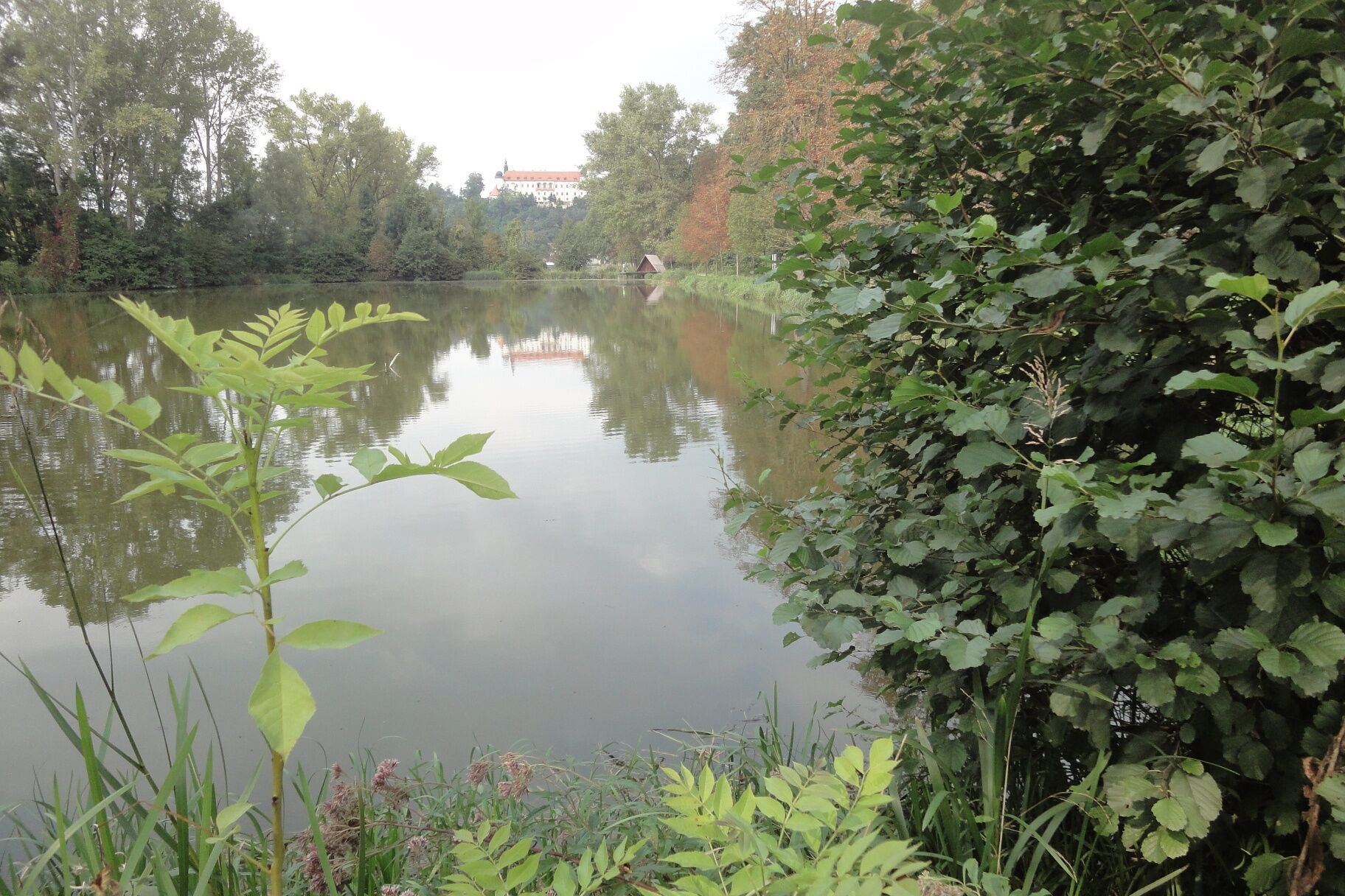
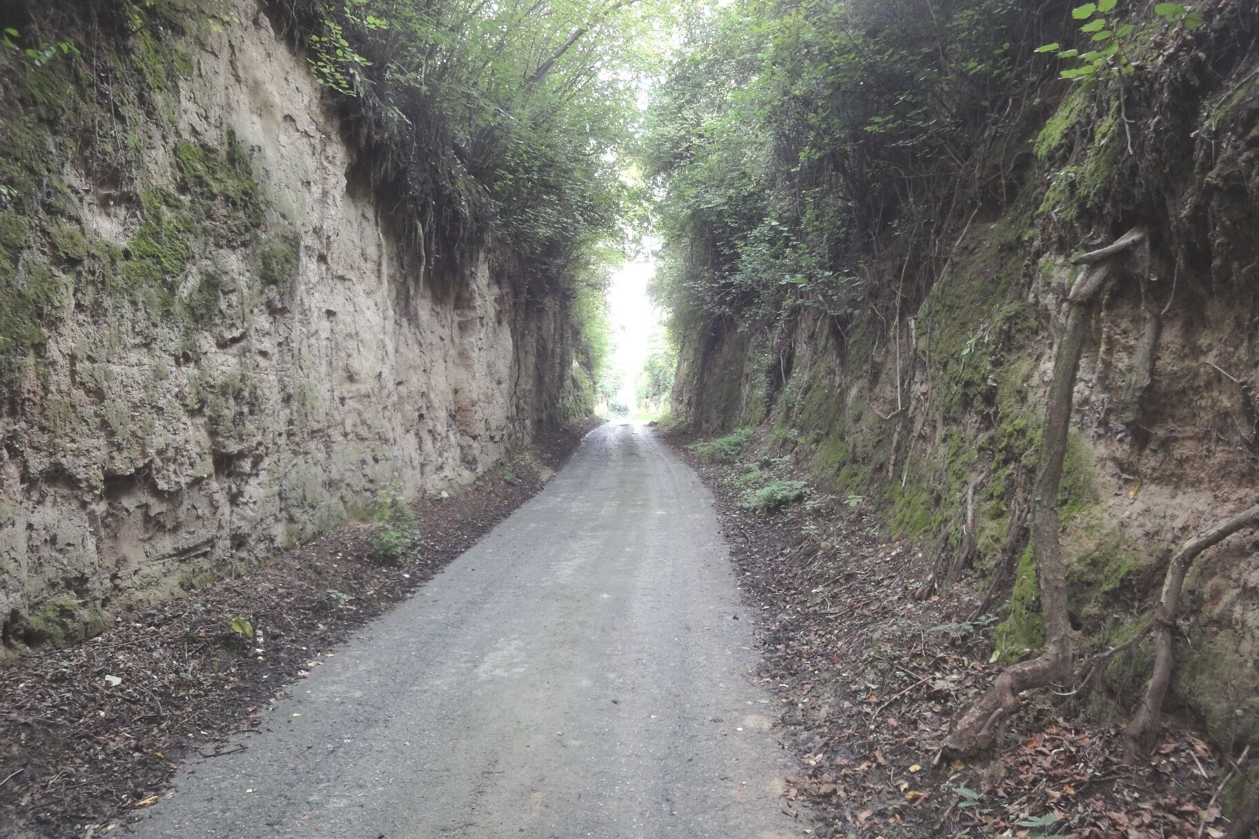
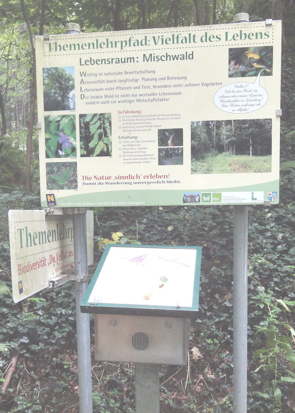
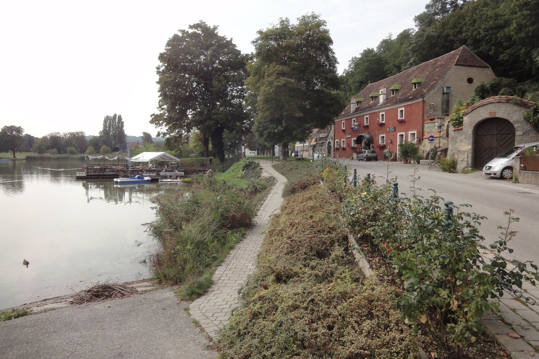
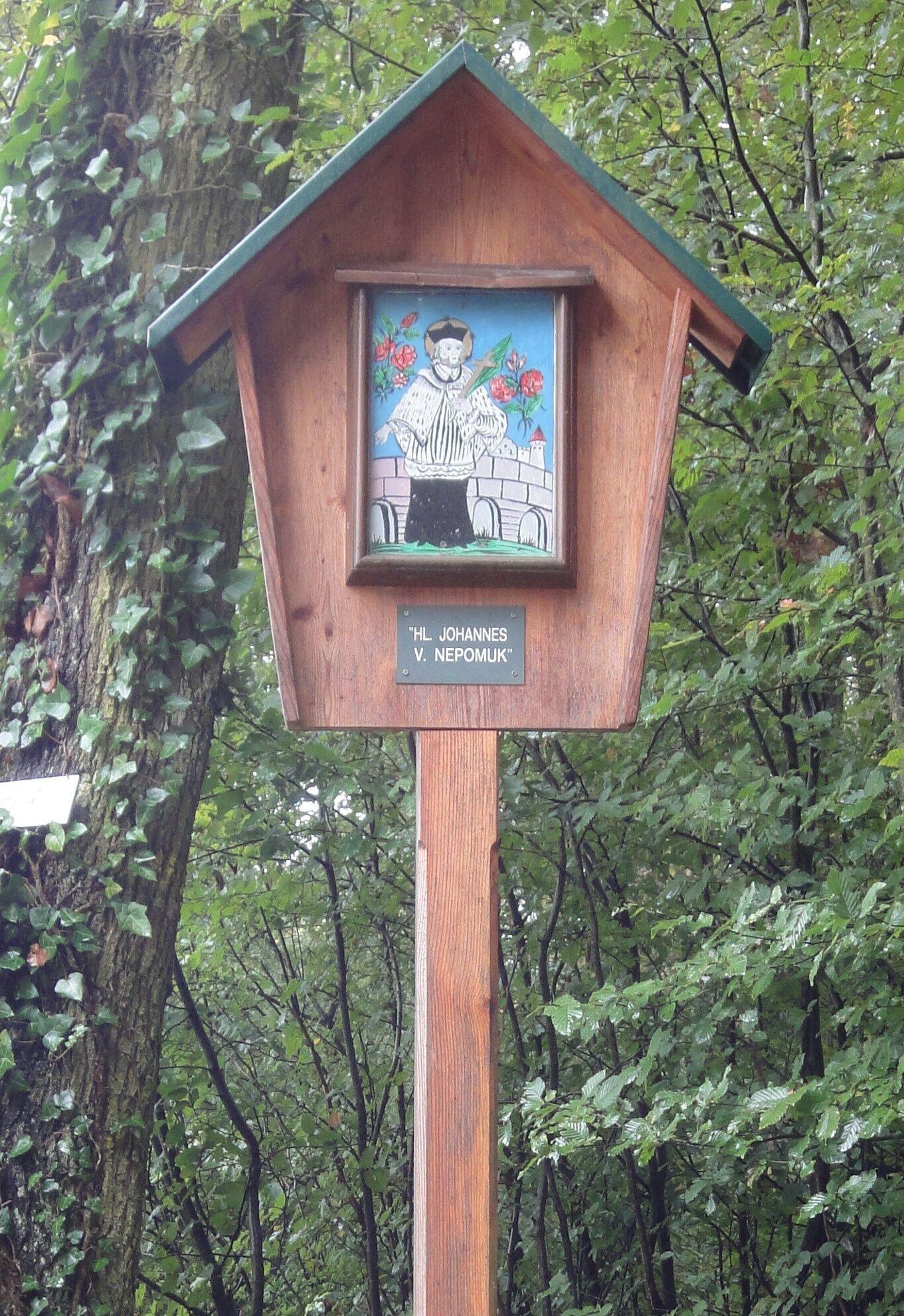

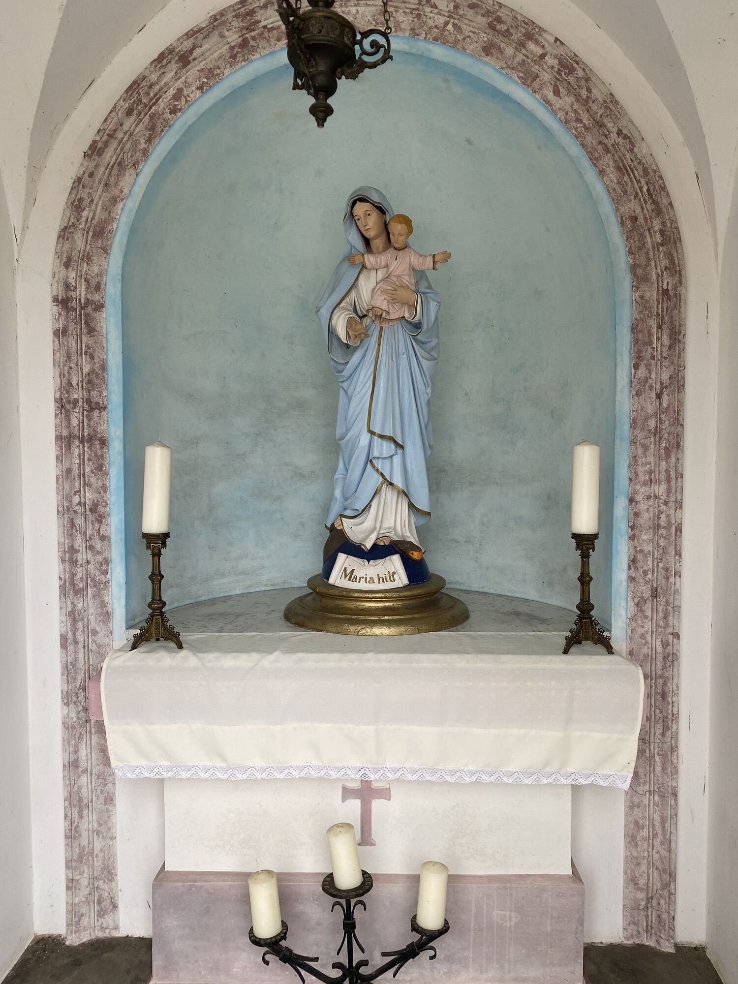
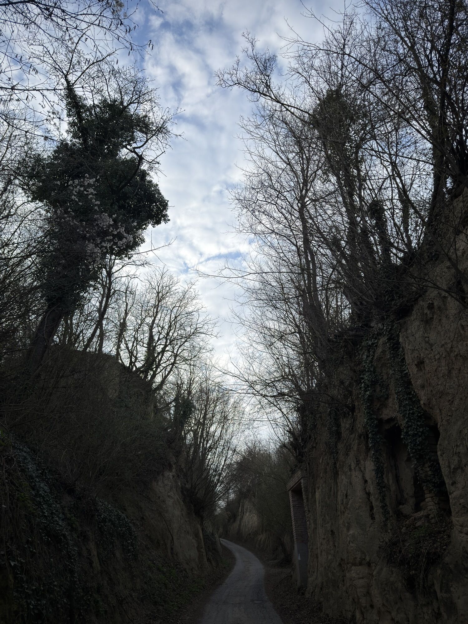
From the Gasthaus Schmid (Sitzenberg), a RED-YELLOW-RED marking leads right to the pond promenade, past the fire station to Karl Fischerstraße, to Gasthaus Dopler and towards Ahrenberg. Shortly before leaving the village, the path turns left into Weinberggasse and leads slightly uphill through a hollow way. After about 1.8 km, a bench invites you to the first rest (view over the Tullnerfeld). From now on, the path leads through the forest to the Johannes wayside shrine (former Protestant preaching column) at Seelackenberg.
At Johannes, turn left and walk about 2 km through the forest. At the beginning of the fields, the path turns right and after a few minutes leads back into the forest, which it leaves again after 1 km. Now it goes about 4 km east to the pond area. Once there, go right along the fitness trail to the end of the pond. Then continue left along the pond avenue back to Gasthaus Schmid. Along the last section, bird stations are set up, where the corresponding bird sounds can also be heard along with the descriptions.
Normal hiking clothing.
Coming from Salzburg, take the A1 towards Vienna/Linz. At the St. Pölten junction, keep right and continue on the S33 towards Krems/St. Pölten-East.
Then drive via Herzogenburg and Traismauer to Sitzenberg-Reidling.
Train, Sitzenberg-Reidling station, about a 15-minute walk to the starting point.
Sufficient parking spaces available at the starting point.
Municipality homepage (www.sitzenberg-reidling.gv.at) Economy and Associations - Nature Friends (link opens: route maps and descriptions appear).
Bring refreshments!

Priljubljeni izleti v okolici
-
4.4
Wachauer Marillenerlebnisweg, Krems-Angern
svetlobaPohodništvo 6.04 km -
4.3
Mammutbäume, Waxenberg und Göttweig
srednjaPohodništvo 12.1 km -
3.9
Über den Göttweiger Walderlebnisweg zu den Mammutbäumen
svetlobaPohodništvo 3.77 km -
4.8
Übers "Loamstückl" zur Wetterkreuzkirche
svetlobaPohodništvo 6.83 km -
4.7
Vinum Circa Montem - Rund um den Göttweiger Berg
srednjaKolesarjenje 19.4 km -
3.8
PAUDORF Göttweig Waxenberg Mammutbäume 20201018
srednjaPohodništvo 15.6 km -
4.2
Drei-Seen-Runde St. Pölten
svetlobaPohodništvo 5.02 km -
4.9
Traisental MTB Potpourri
srednjaMountainbike 27.9 km -
3.3
Welterbesteig Wachau 13: Oberbergern-Mautern
svetlobaPohodništvo v daljavo 16.7 km -
4.3
Umrundung Seebodenberg
svetlobaPohodništvo 4.48 km
Pohodništvo in sledenje


Ne zamudite ponudb in navdiha za naslednje počitnice
Vaš e-poštni naslov je bil dodan na poštni seznam.





