







Main hiking trail "Nature.Enjoyment.Mountain" in the hiking village Hollenstein/Ybbs
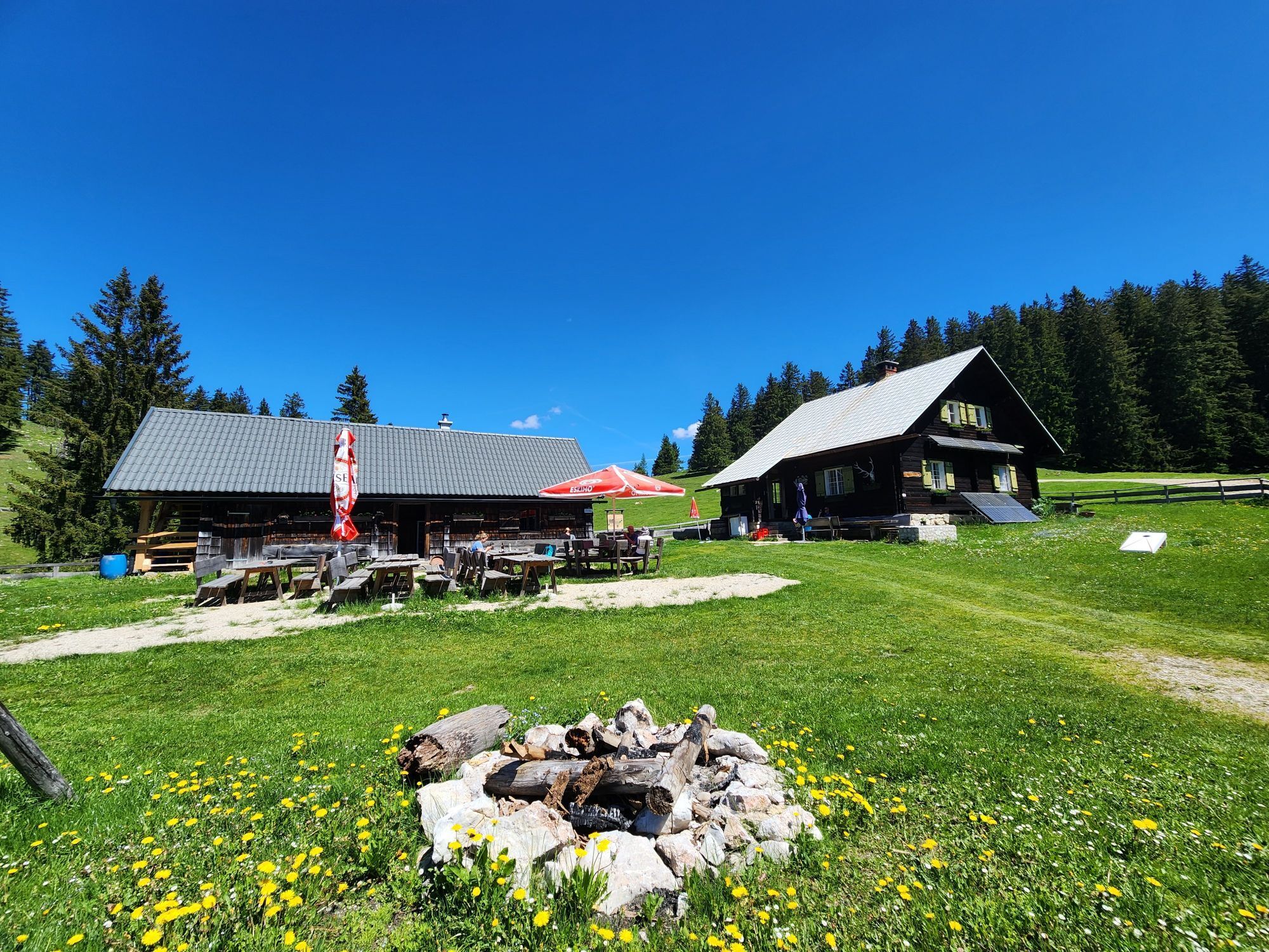
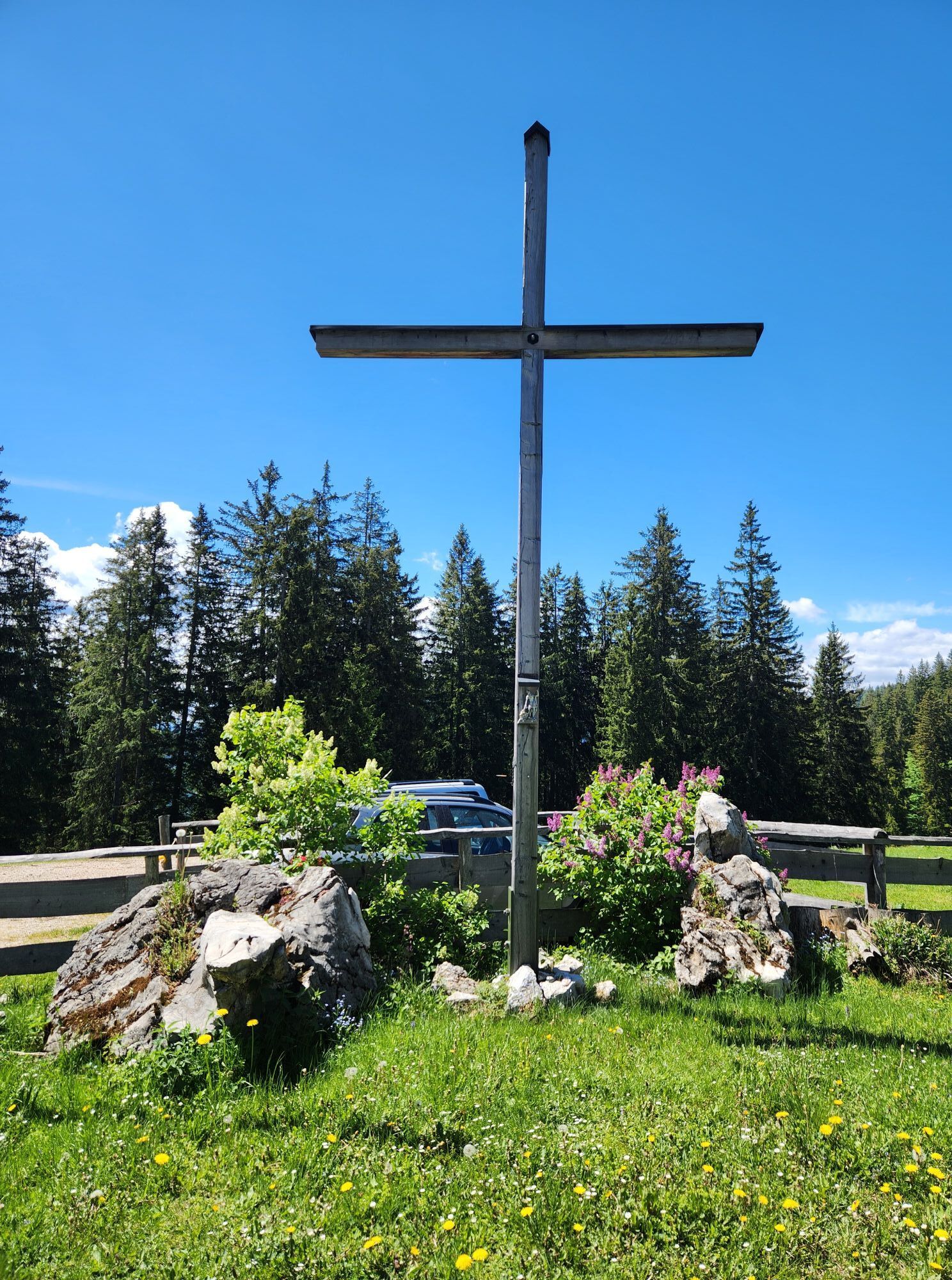
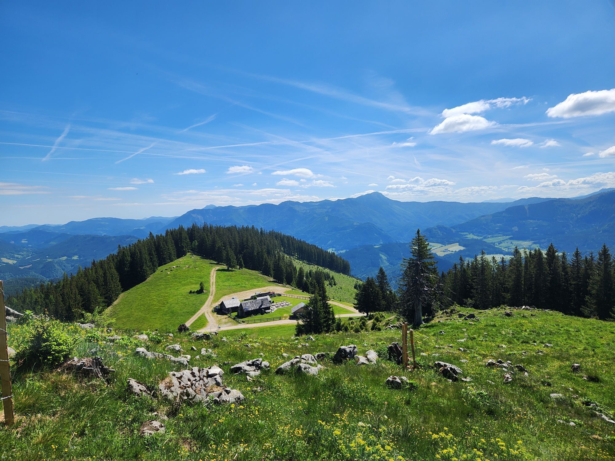
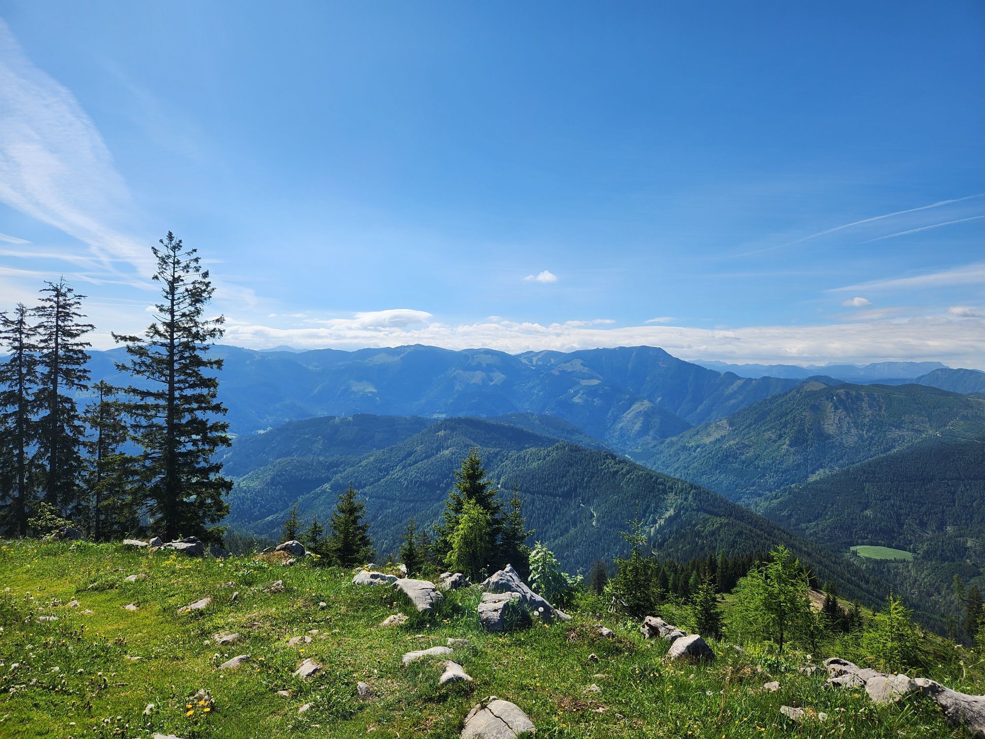
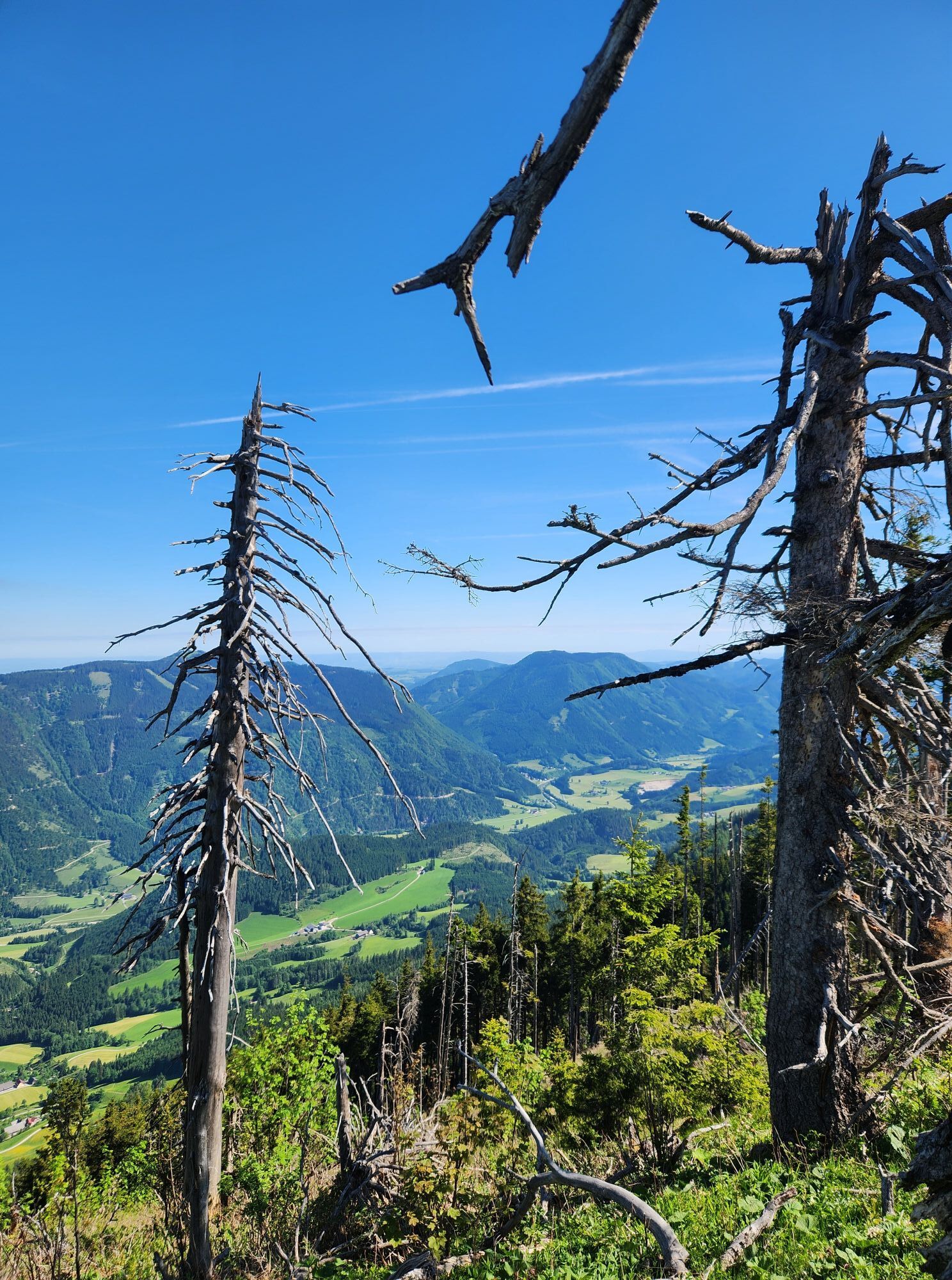
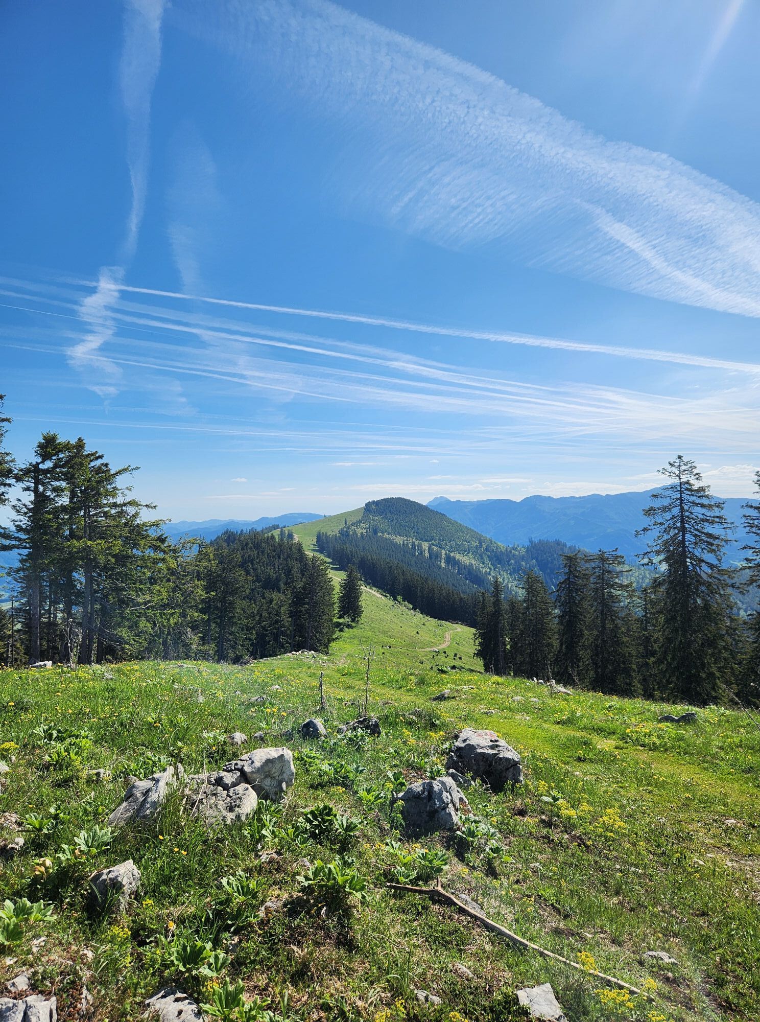
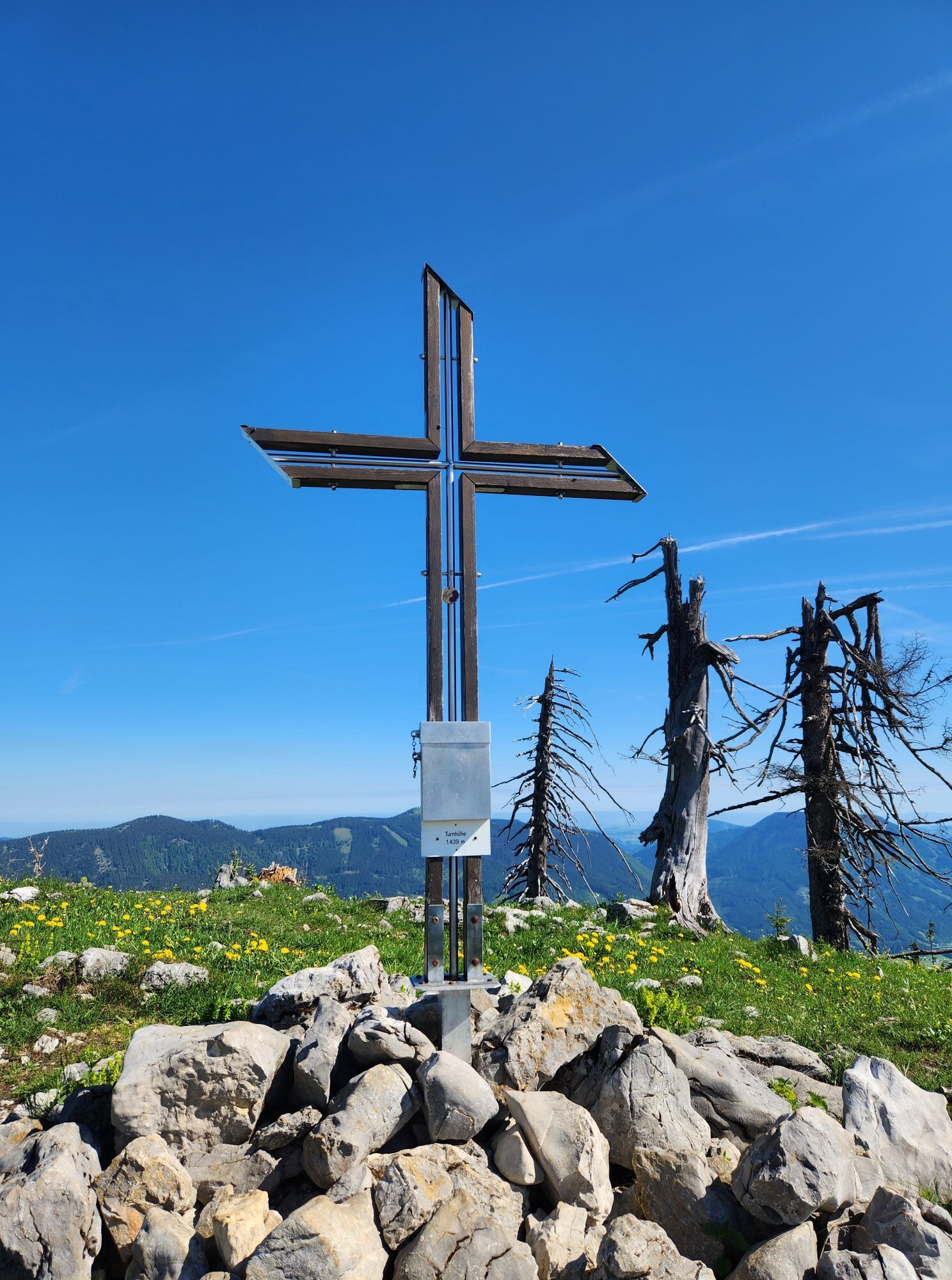
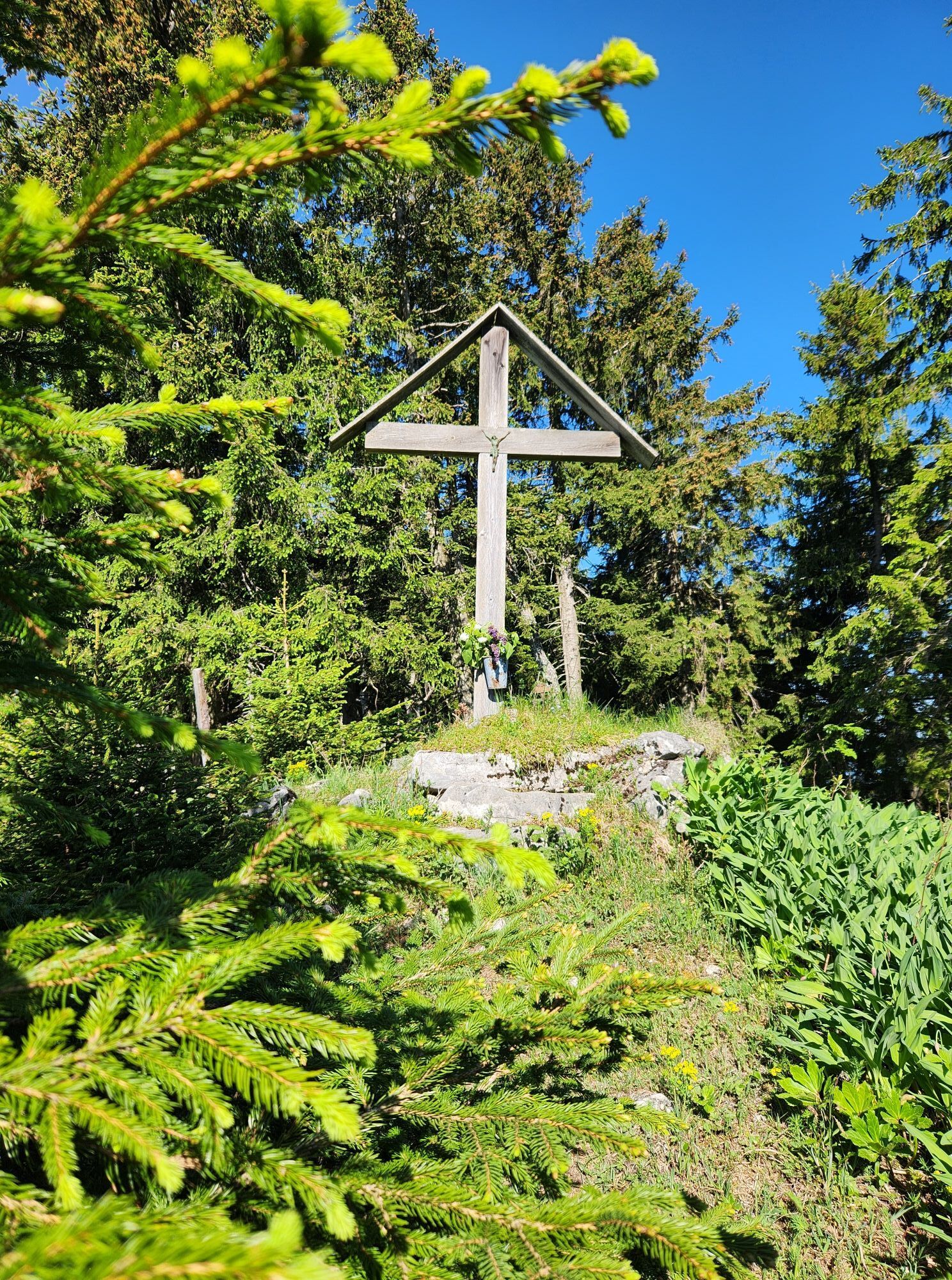
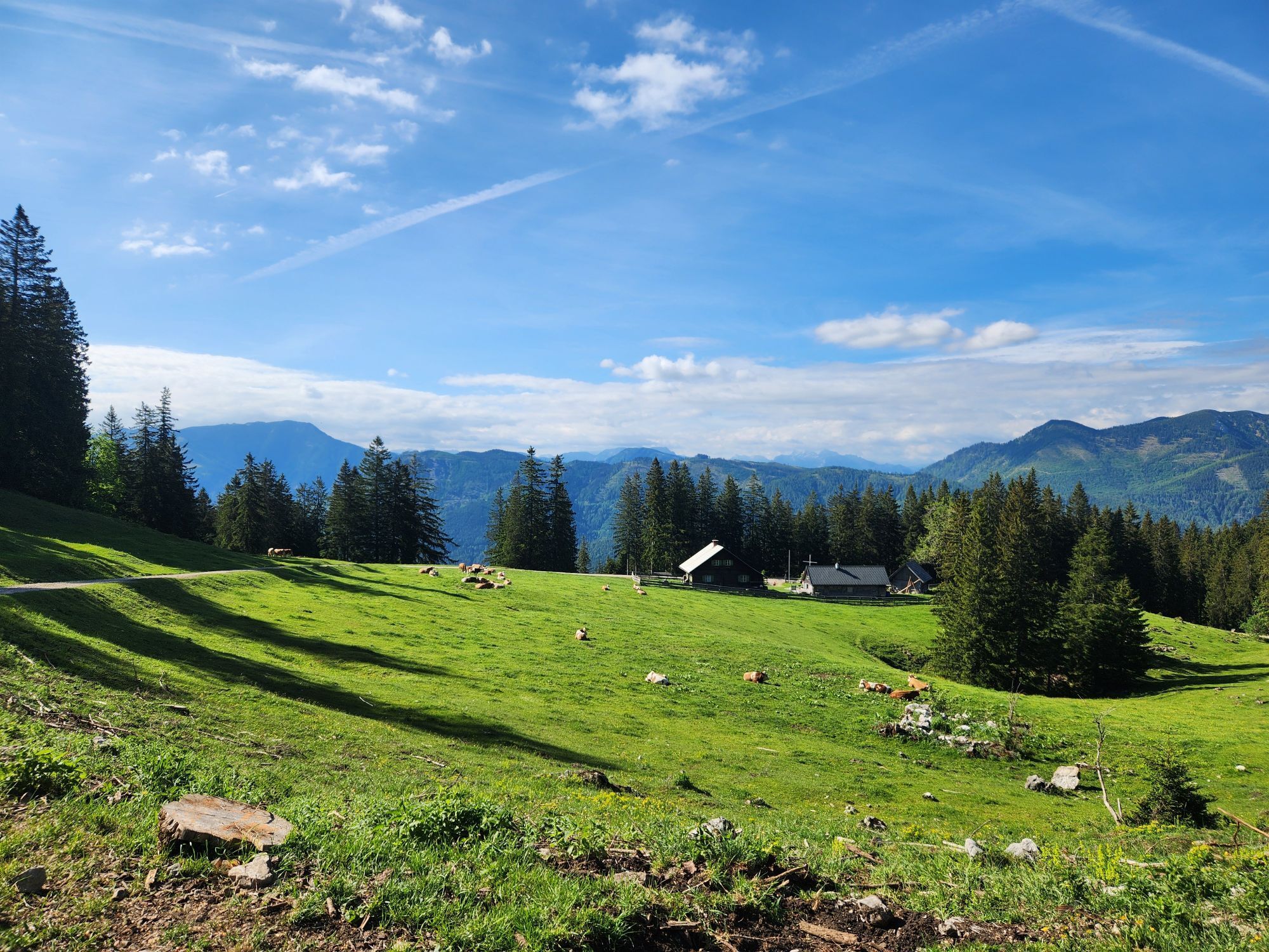
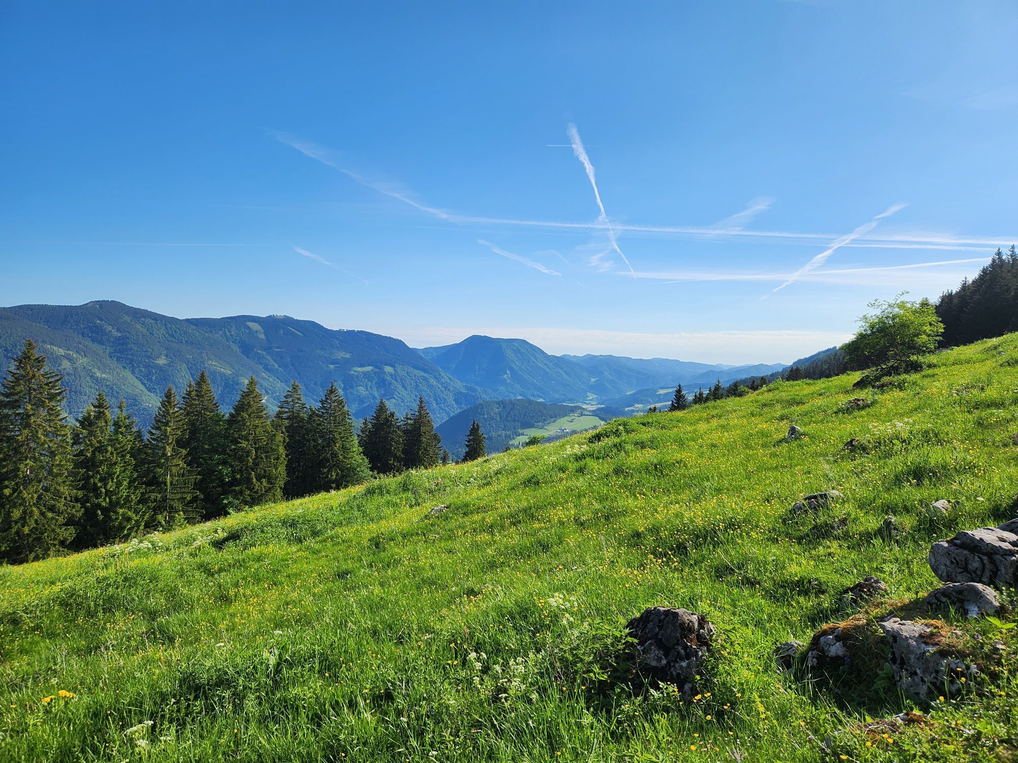
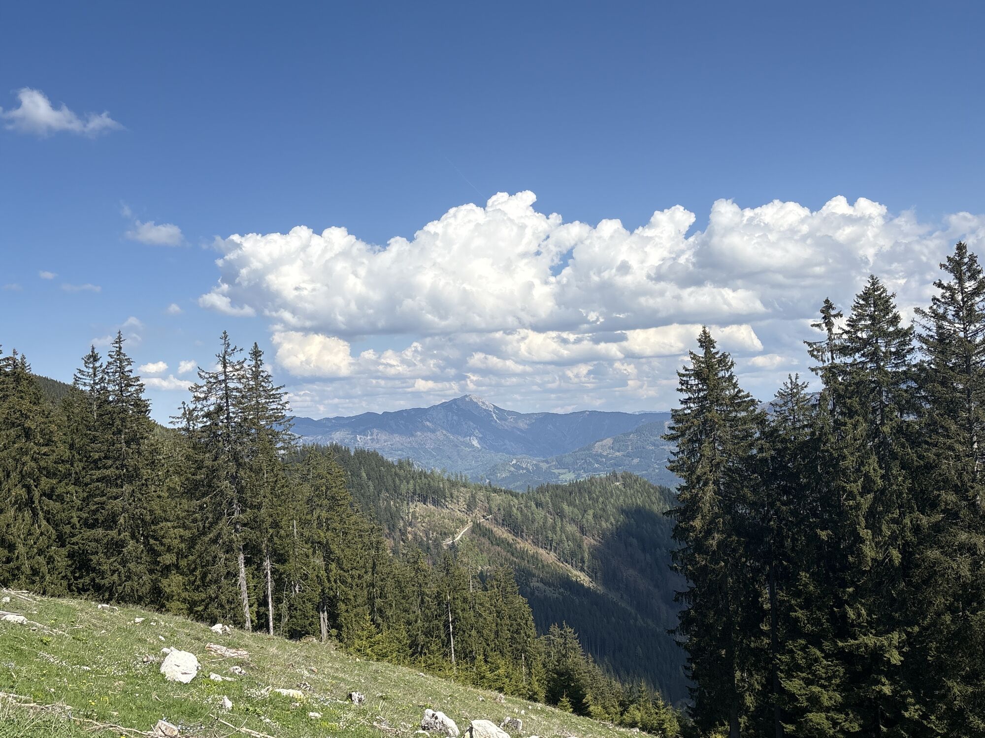

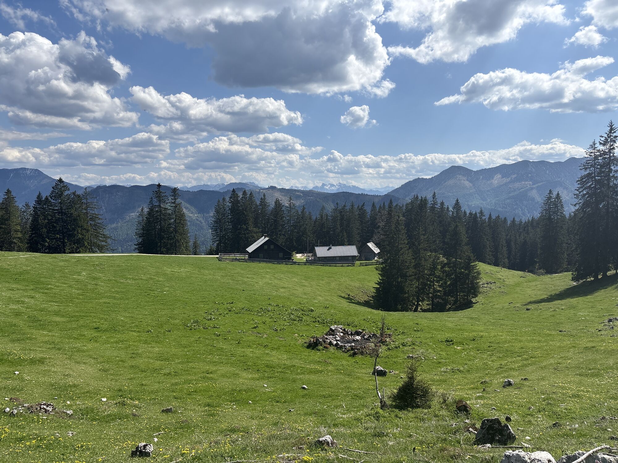
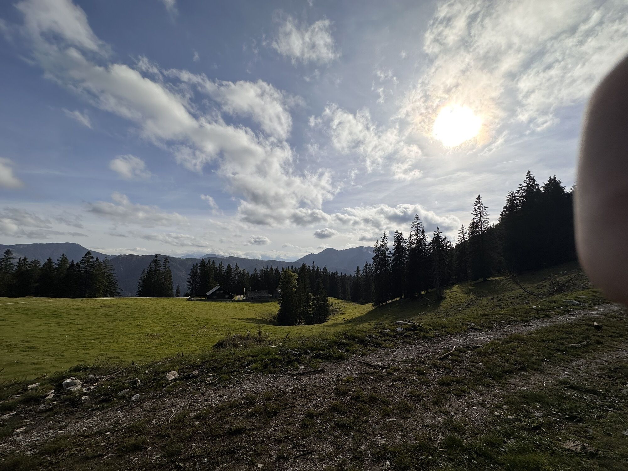
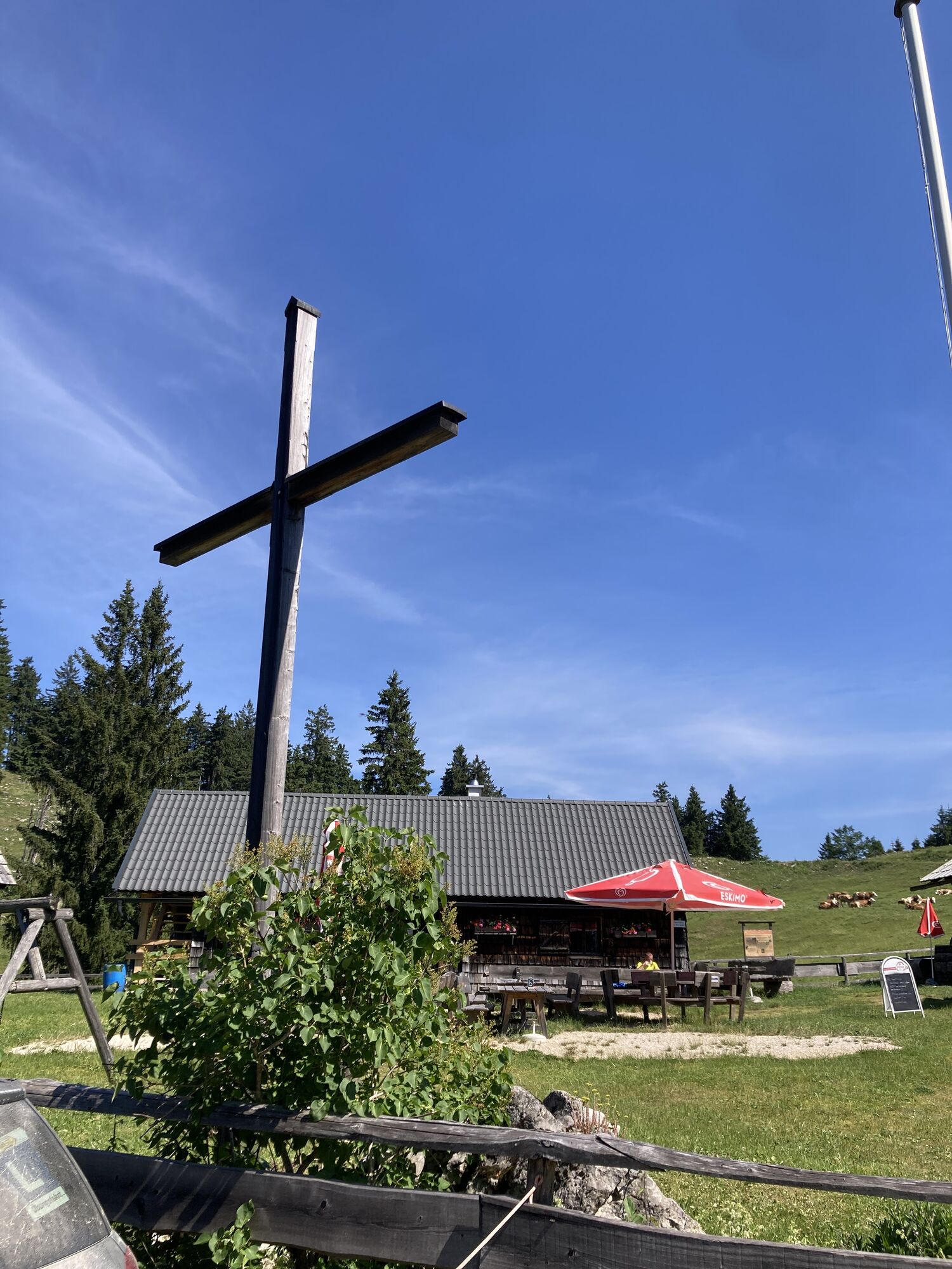
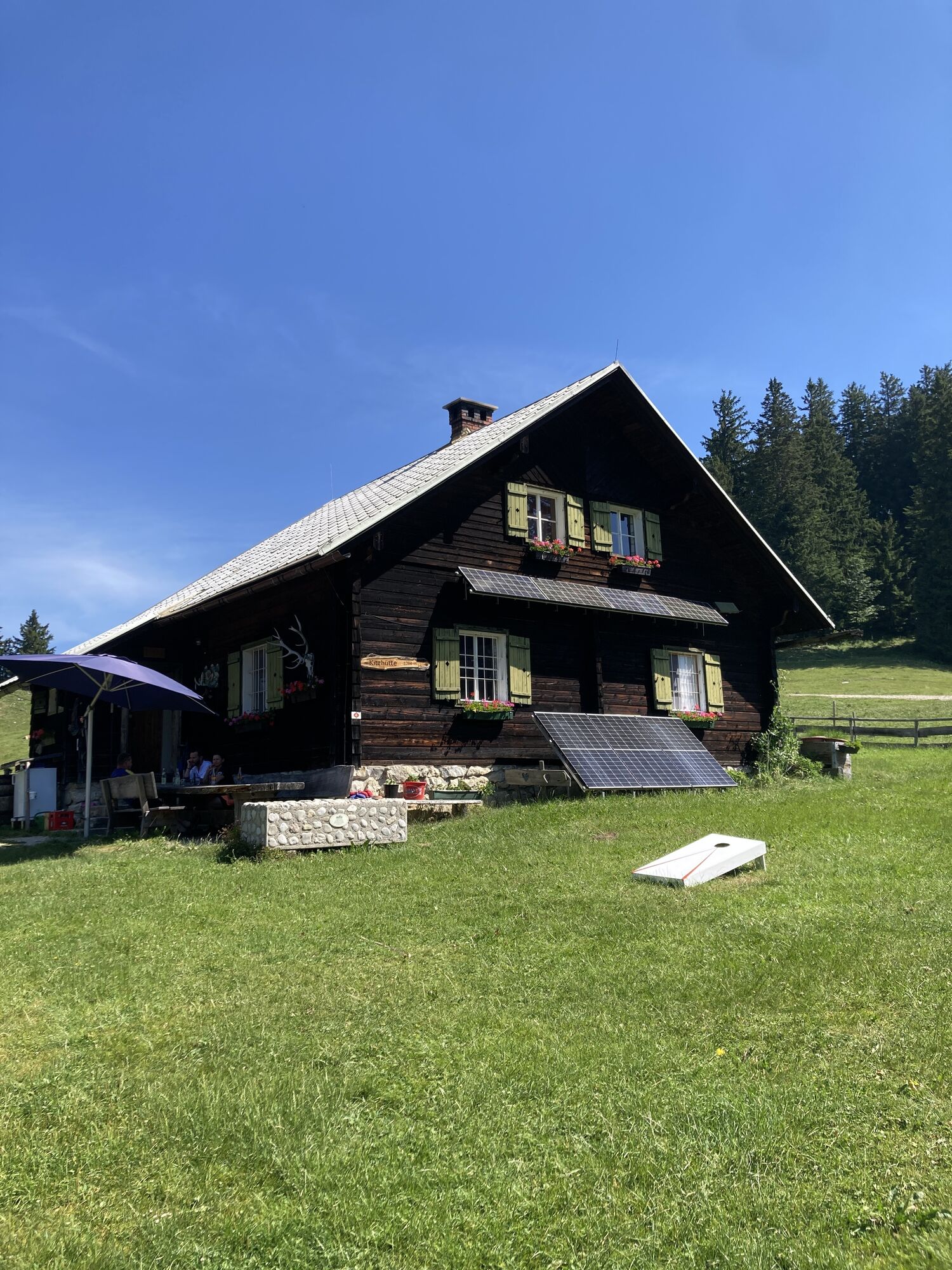
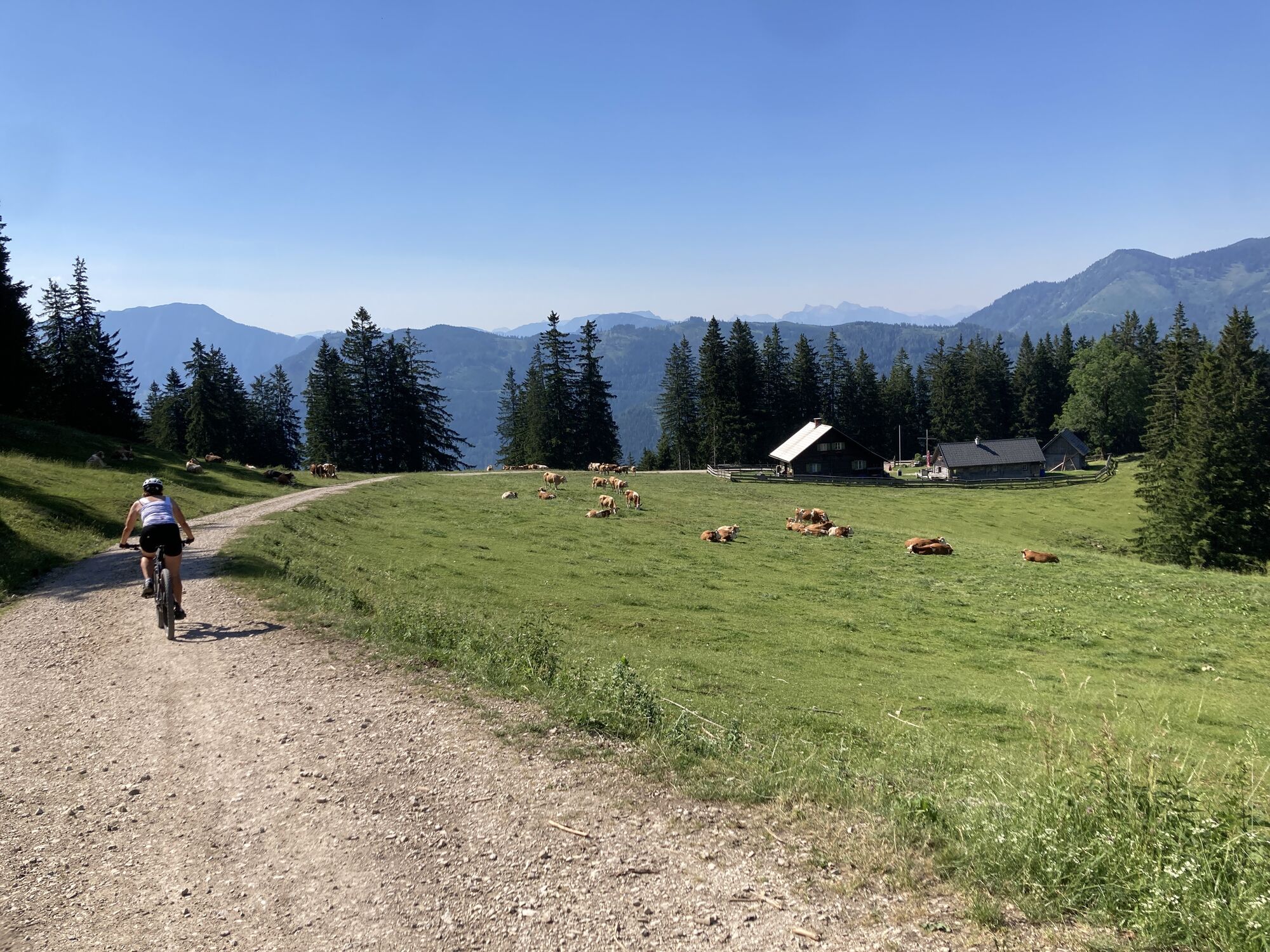
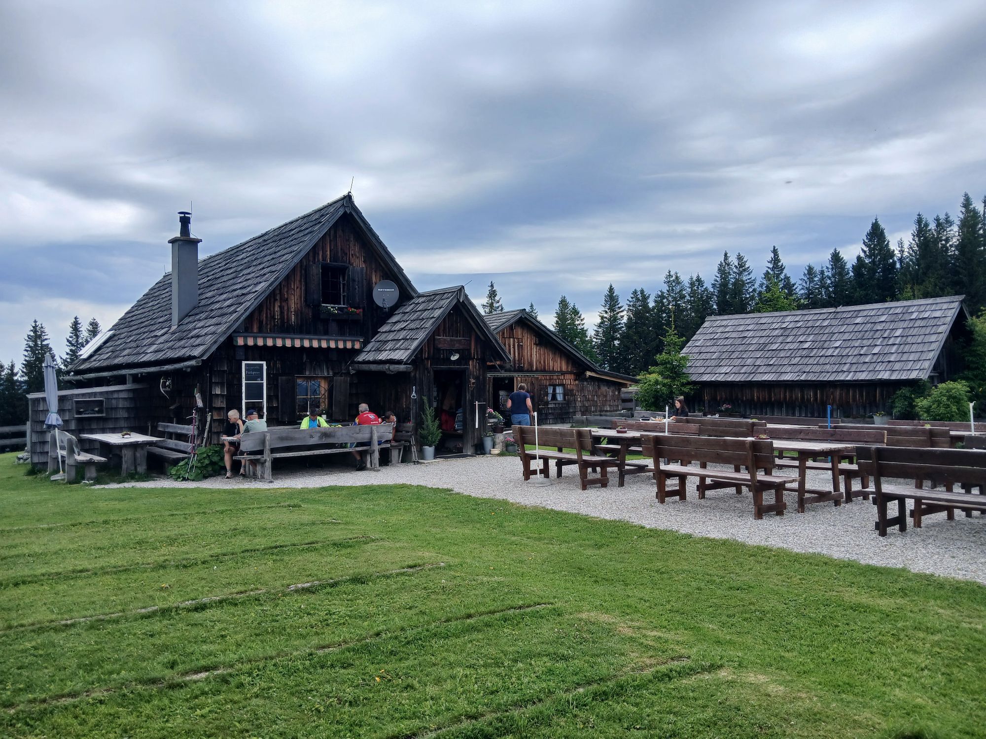
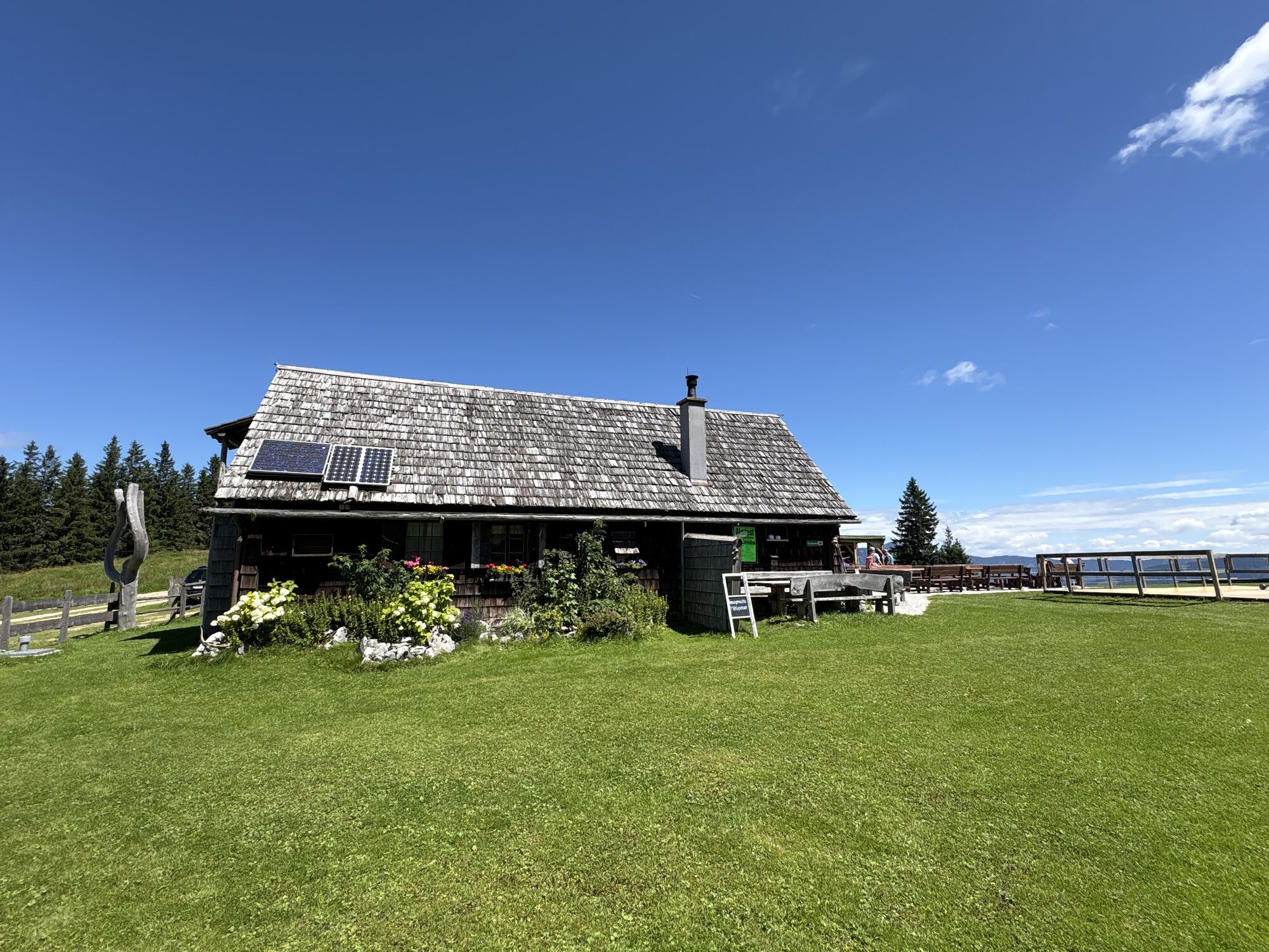
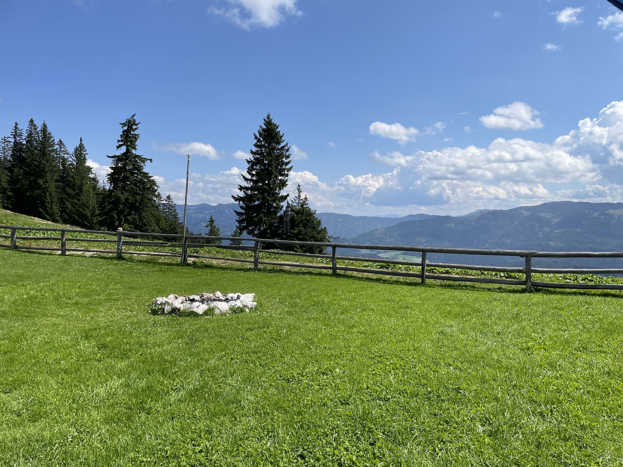
A magnificent mountain experience with lots of variety!
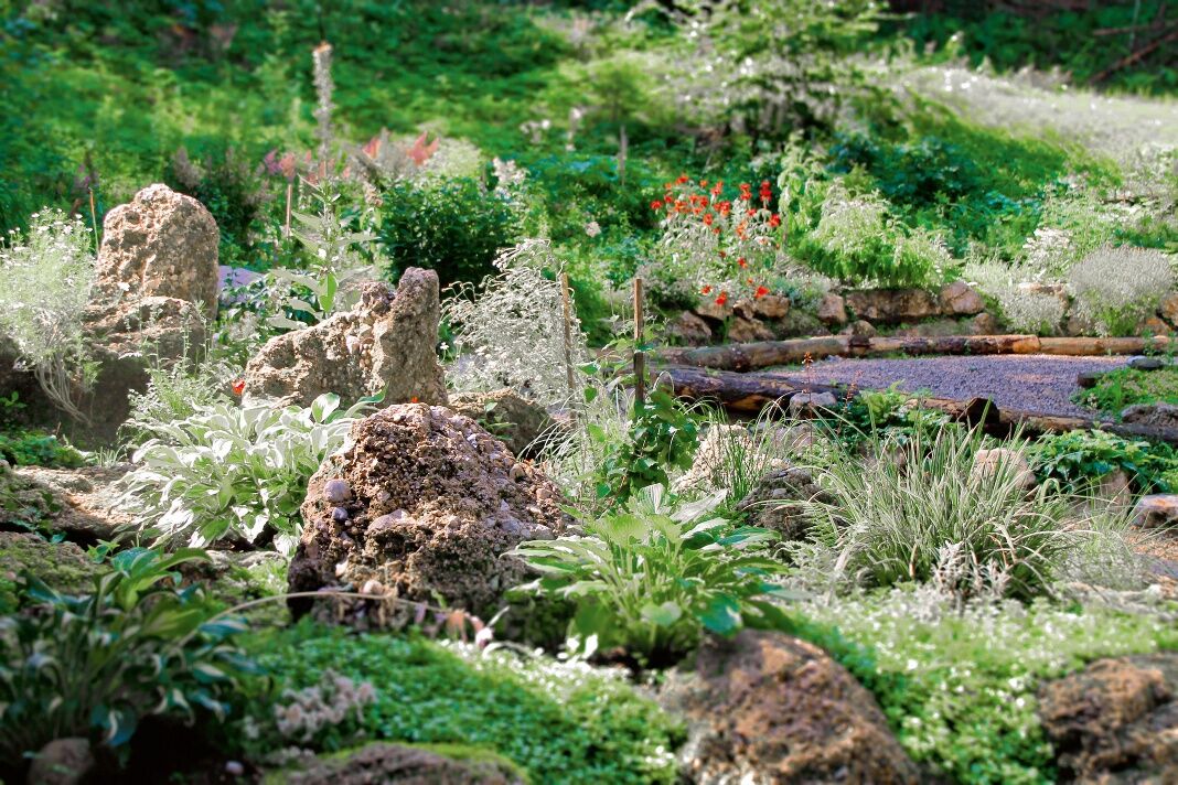
The hike starts at your hiking host Gasthof Jagersberger and leads via the KE herb garden on forest paths and forest roads to the Kitzhütte. From...
A magnificent mountain experience with lots of variety!
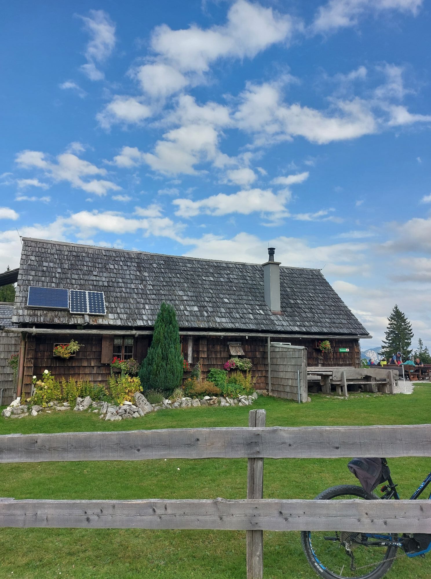
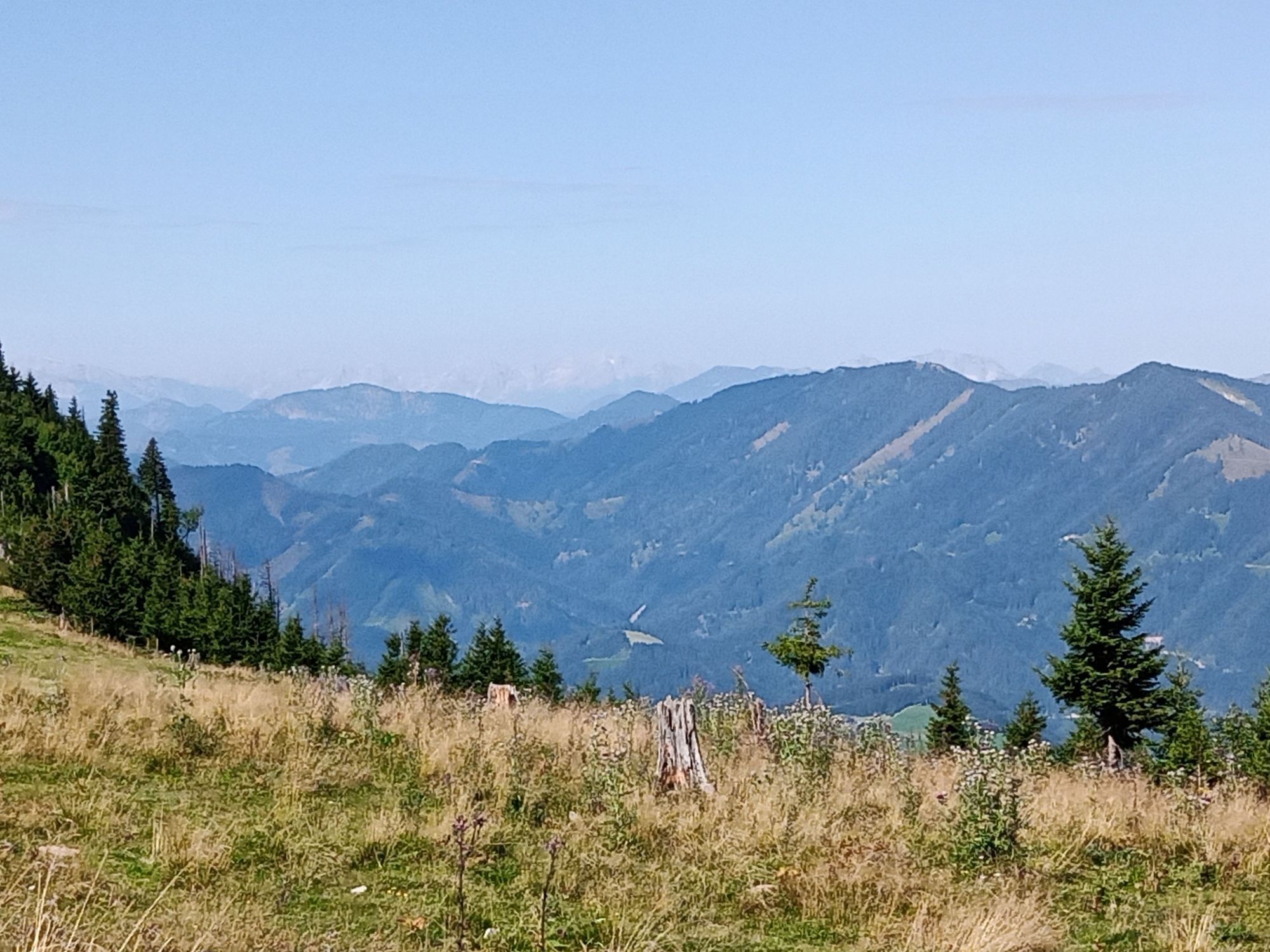
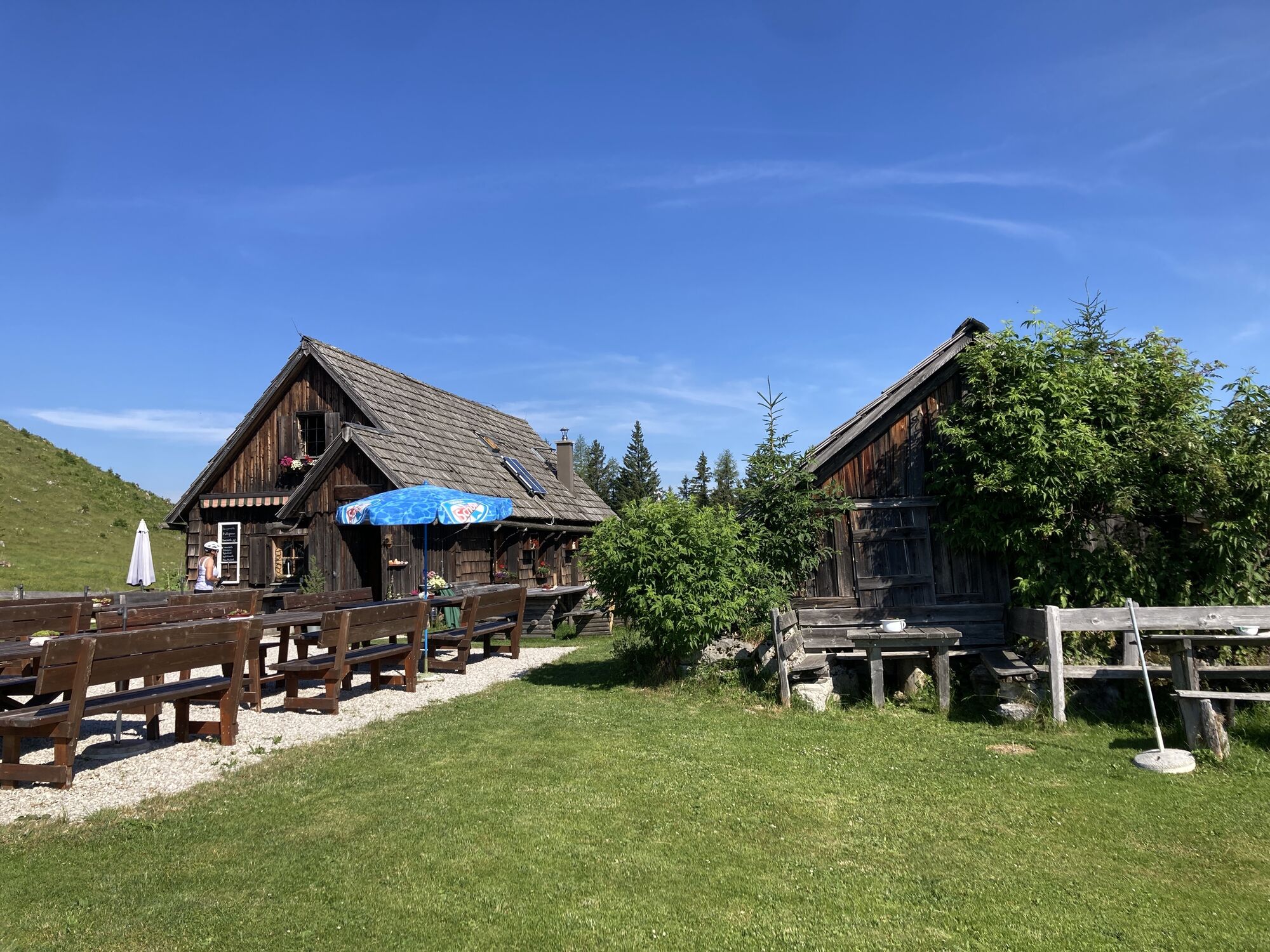
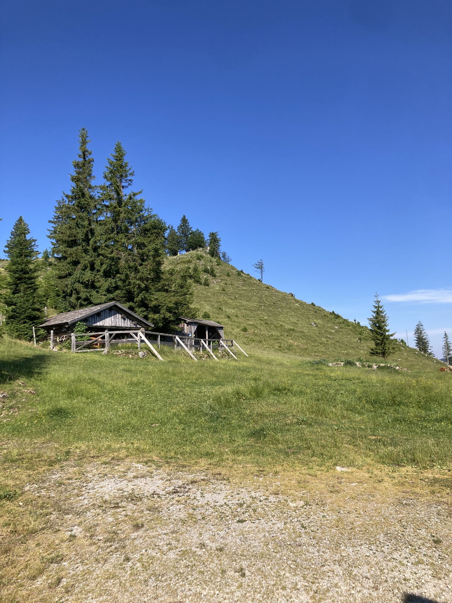
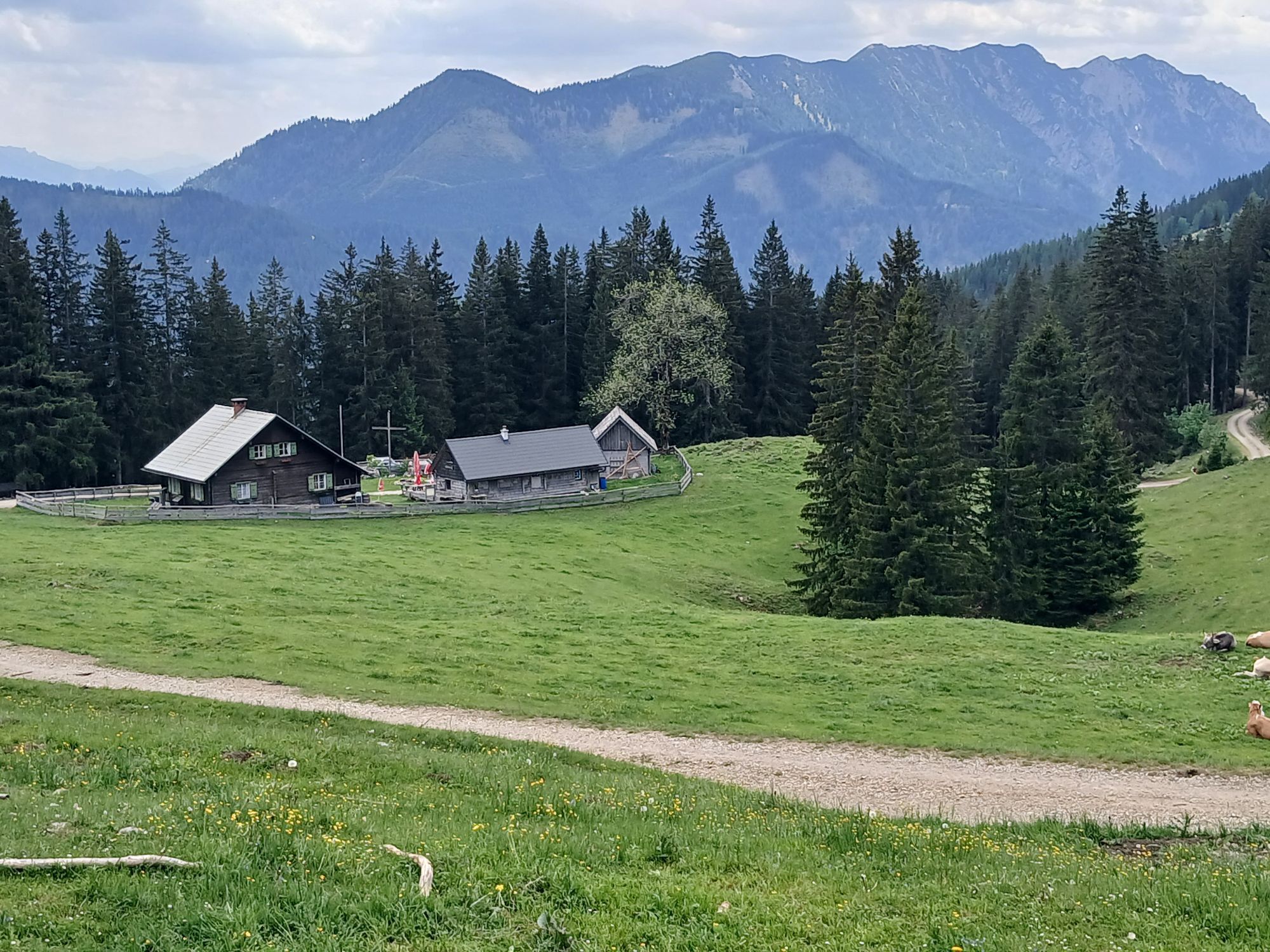
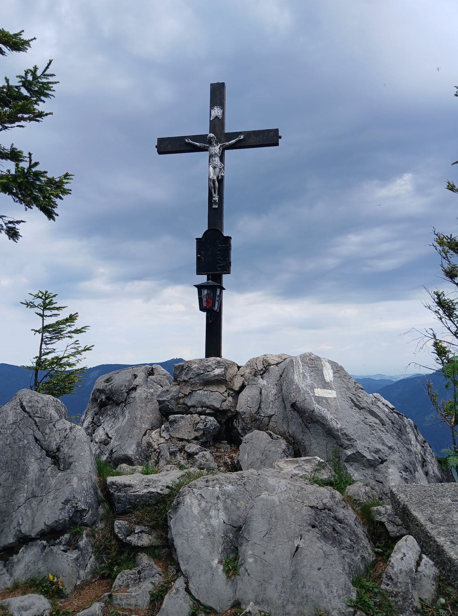
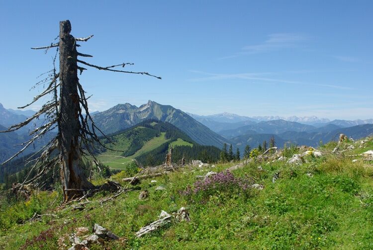
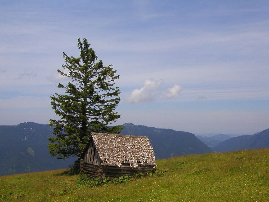
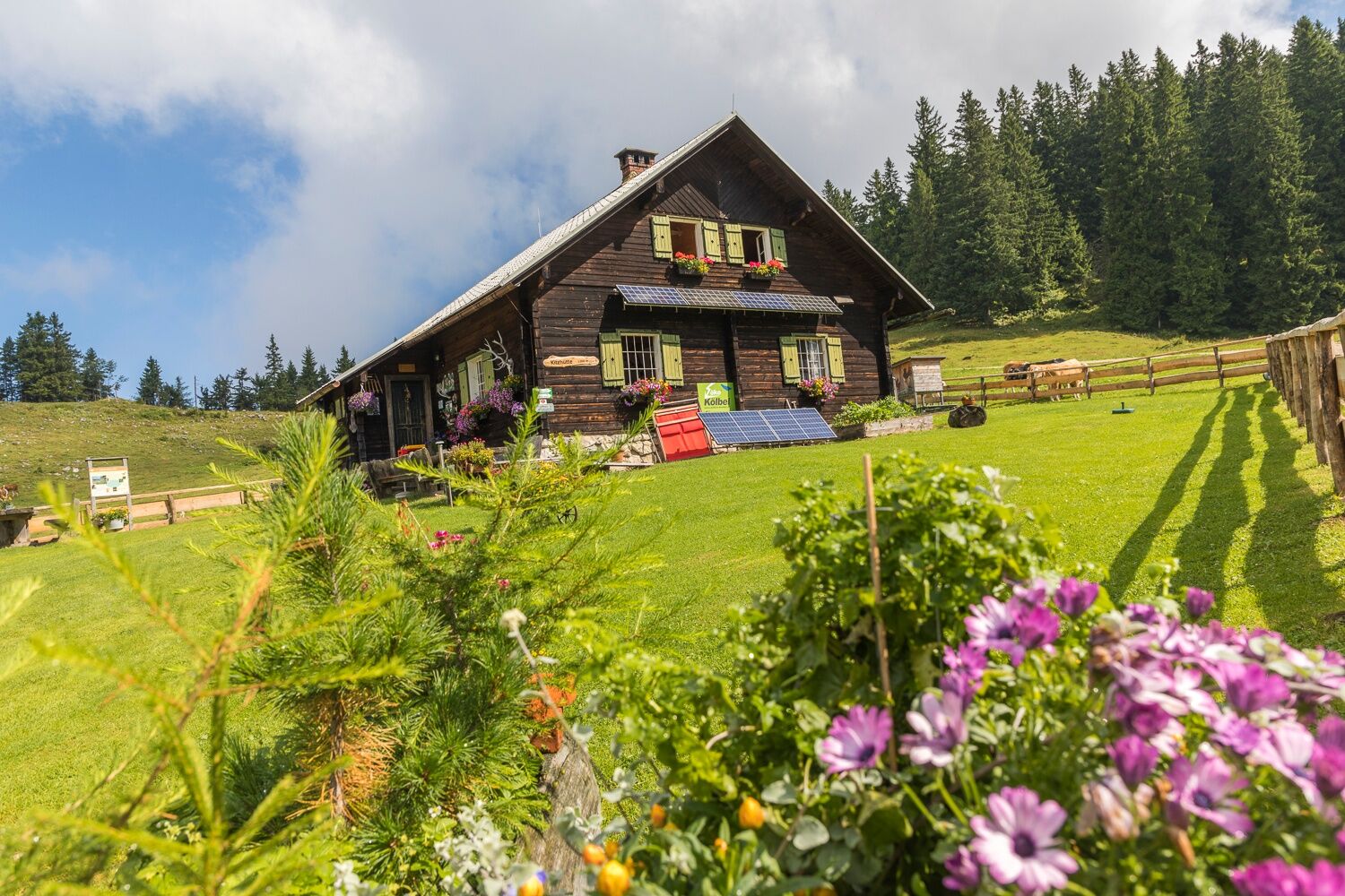
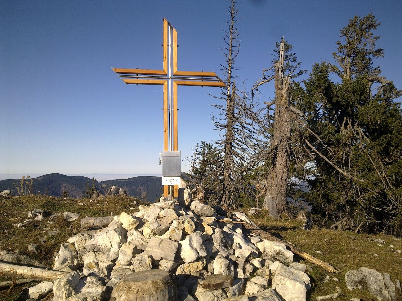
The hike starts at your hiking host Gasthof Jagersberger and leads via the KE herb garden on forest paths and forest roads to the Kitzhütte. From there, the tour continues up to the Turnhöhe at 1,439m. Once there, an impressive view opens up over the mountain world of the Ybbstal Alps, as far as the Gesäuse (Styria) and the Phyrn-Priel-Regin (Upper Austria). Surrounded by a large forested area of the Lower Austrian Eisenwurzen Nature Park and with a view of the eternal forests of the Dürrenstein-Lassingtal UNESCO wilderness area, the route then continues via the Vierhütten to the Siebenhütten and ends there. Return route or descent to Göstling and return bus transfer possible.


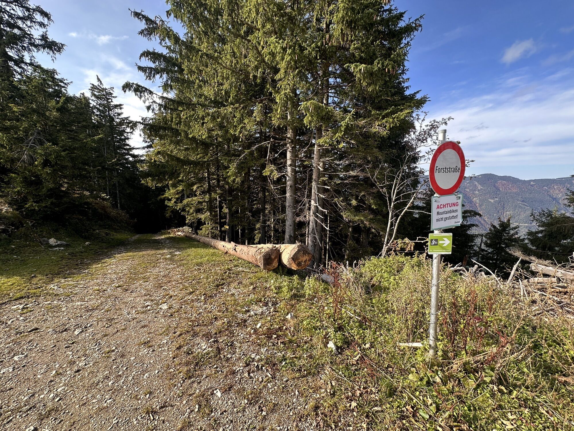
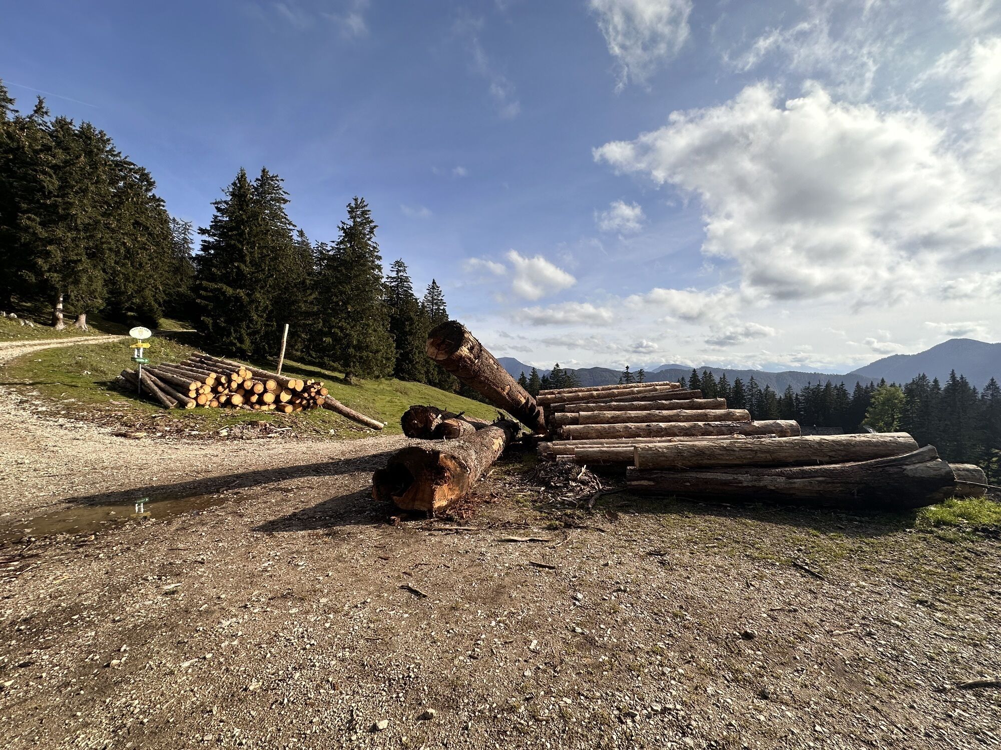
Side roads, forest roads, and hiking trails
Da
Please pay attention to weather-appropriate equipment (e.g. sun protection, rain protection, etc.).
Sturdy footwear, provisions
Coming from Vienna, take the A1 to Amstetten-West exit, then B121 to Waidhofen an der Ybbs, from there continue on B31 to Hollenstein an der Ybbs, then from the village to the hiking host Gasthof Jagersberger.
Coming from the west, take the A1 to Oed exit, via Aschbach on B121, continue on B121 to Waidhofen an der Ybbs, from there on B31 to Hollenstein an der Ybbs, then from the village to the hiking host Gasthof Jagersberger.
VOR bus line to Hollenstein town center
Parking available at the start point of the route and at the hiking host Gasthof Jagersberger.
Accommodation, dining options, and further information about the hiking village Hollenstein/Ybbs can be found at: www.ybbstaler-alpen.at/hollenstein and www.mostviertel.at/hollenstein
Tourism IG Ybbstal Alps
Göstling 46/2, 3345 Göstling/Ybbs
43-5-93049
â°ï¸ TIP: SHORT VACATION IN MOSTVIERTEL â°ï¸
To get to know the hiking village Hollenstein/Ybbs, a short vacation is recommended. We are happy to assist you with booking:
info@mostviertel.at
+43 7482 204 44
Pridobite vpogled
Vedno v živo na mestu z več kot 9.500 spletnimi kamerami. bergfex Kot uporabnik Pro si lahko zdaj ogledate ustrezne spletne kamere za številne izlete v aplikaciji izleti iz. Tako si lahko neposredno ogledate trenutne razmere.


Priljubljeni izleti v okolici
-
4.6
Hochkar - Schmalzmauer - Geißhöhe - Ringkogel - Schwarzalmhütte - Brunneckerhütte
srednjaPohodništvo 13.2 km -
4.8
Kurzeck- Siebenhütten- Turnhöhe- Kitzhütte Göstling an der Ybbs, Österreich
svetlobaPohodništvo 12.8 km -
4.7
Opponitz Gorge Hiking Trail
srednjaPohodništvo 4.42 km -
4.5
Lechner Graben - Ybbstaler Hütte
srednjaPohodništvo 14.2 km -
4.9
Lechnergraben-Grünloch-Ybbstalerhütte
svetlobaPohodništvo 9.72 km -
4.4
Palfauer Wasserlochklamm
srednjaPohodništvo 1.78 km -
4.3
Prochenberg von Ybbsitz
svetlobaPohodništvo 6.29 km -
4.1
wanderung auf den alpl
srednjaPohodništvo 8.18 km -
4.6
LUNZ Seehof Scheiblingstein Dürrenstein Herrenalm Ober- Mittersee 03.08.2018
težkoPohodništvo 25.2 km -
3.9
HOCHKAR Parkplatz Blachlboden Leckerplan Geischlägerhaus Hochkar Scheinecksttl. ret. 23.08.2018
svetlobaPohodništvo 8.30 km
Pohodništvo in sledenje


Ne zamudite ponudb in navdiha za naslednje počitnice
Vaš e-poštni naslov je bil dodan na poštni seznam.





