






Main hiking trail "belebt.bewegt" in the hiking village Göstling/Ybbs
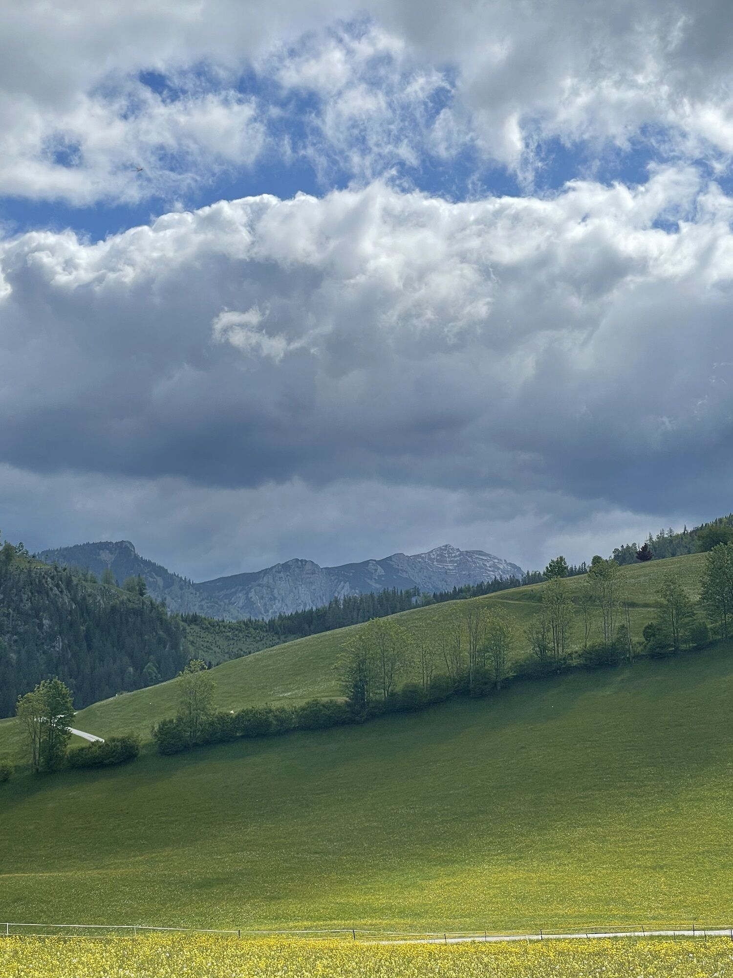
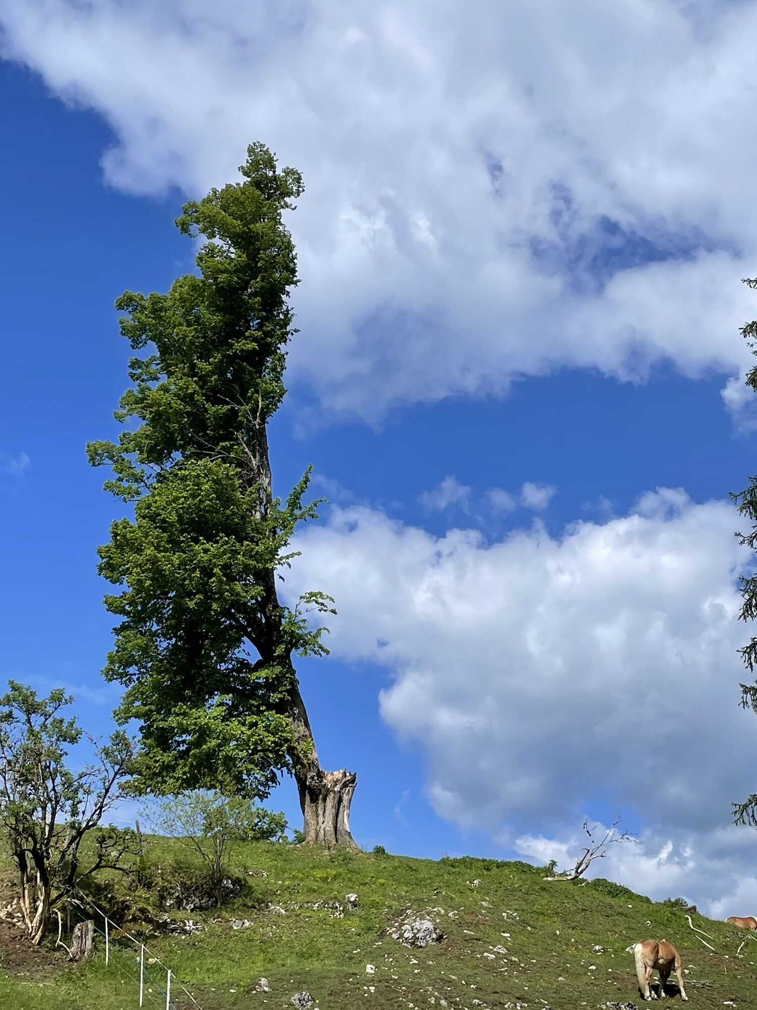
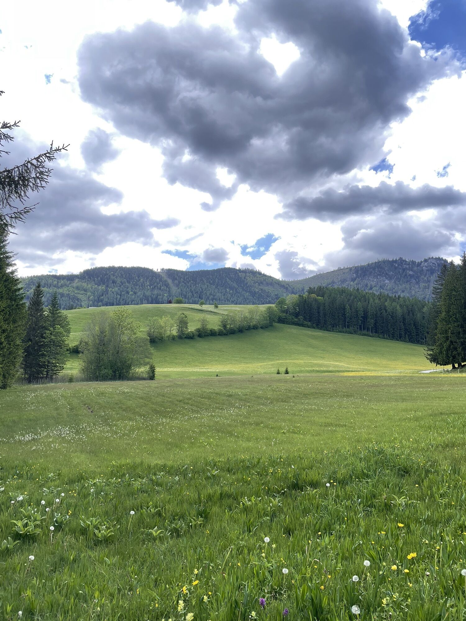
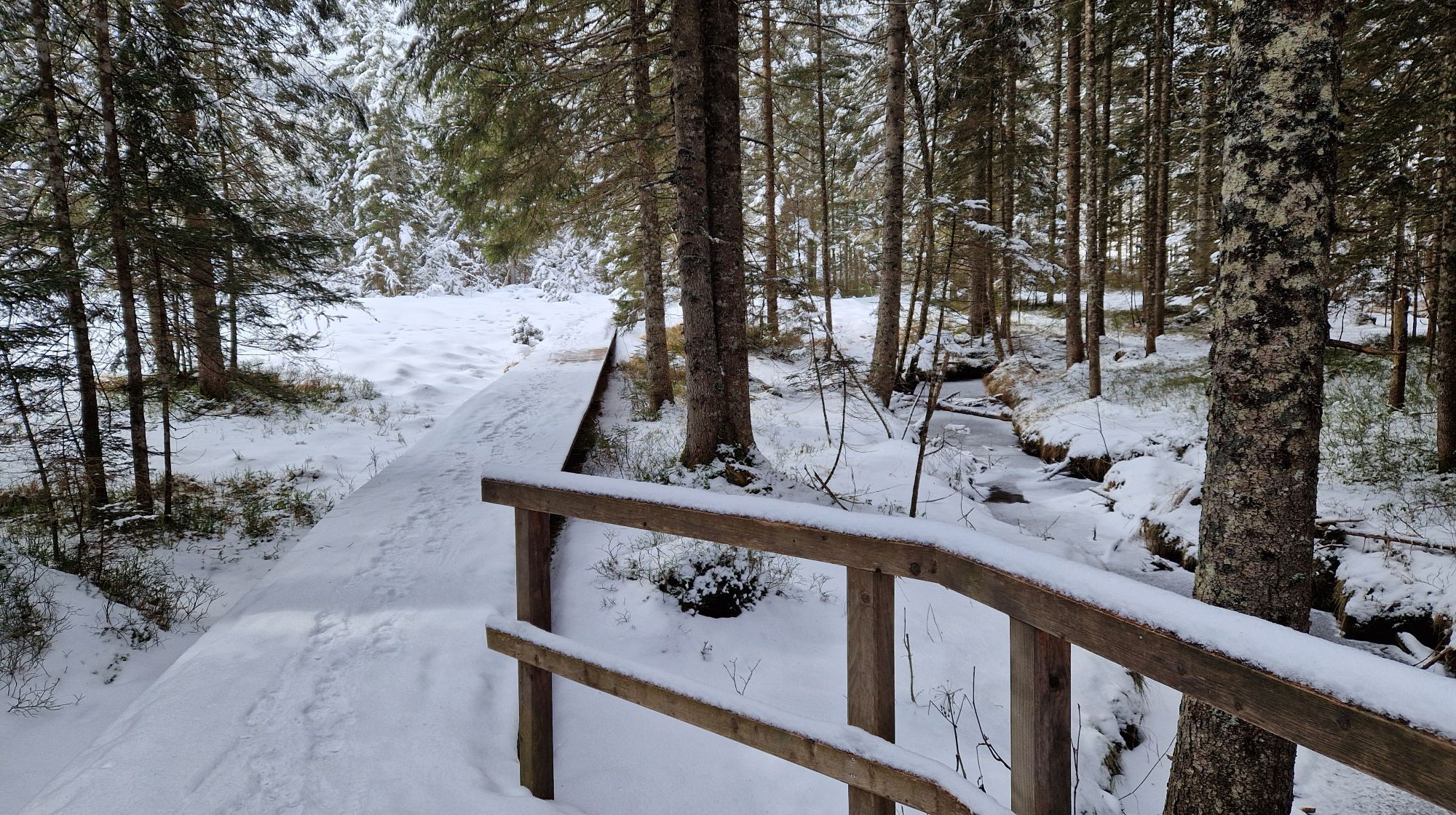
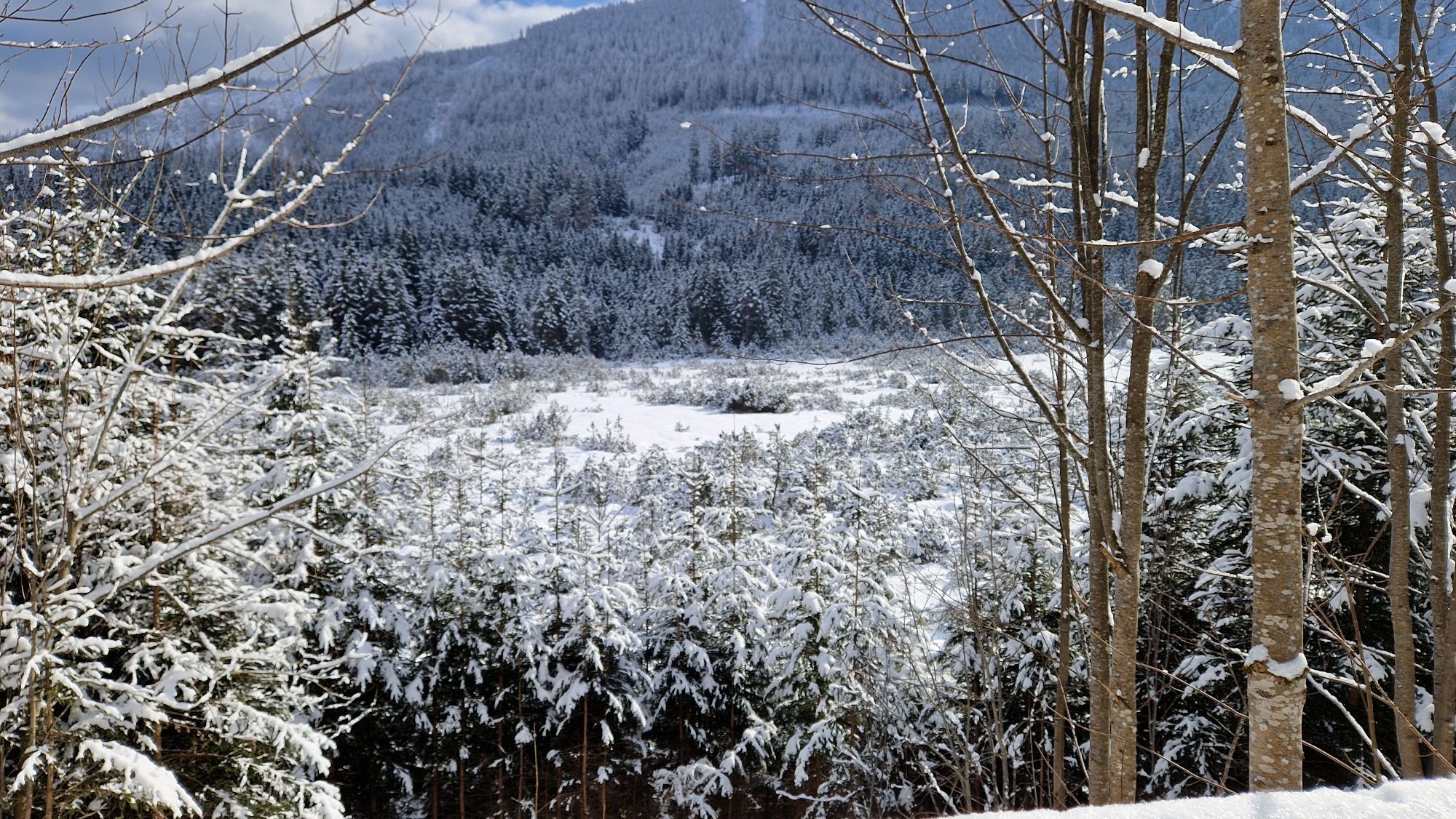
A pristine mountain experience in the nature reserve - a hike on three levels!
The hike starts on the Hochplateu plateau in Hochreit at the Ablass farm and follows the hiking trail sign in the direction...
A pristine mountain experience in the nature reserve - a hike on three levels!
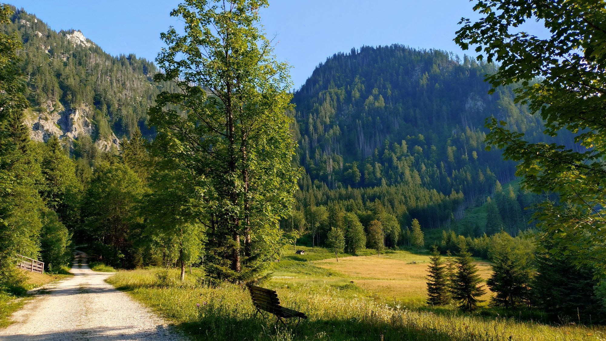
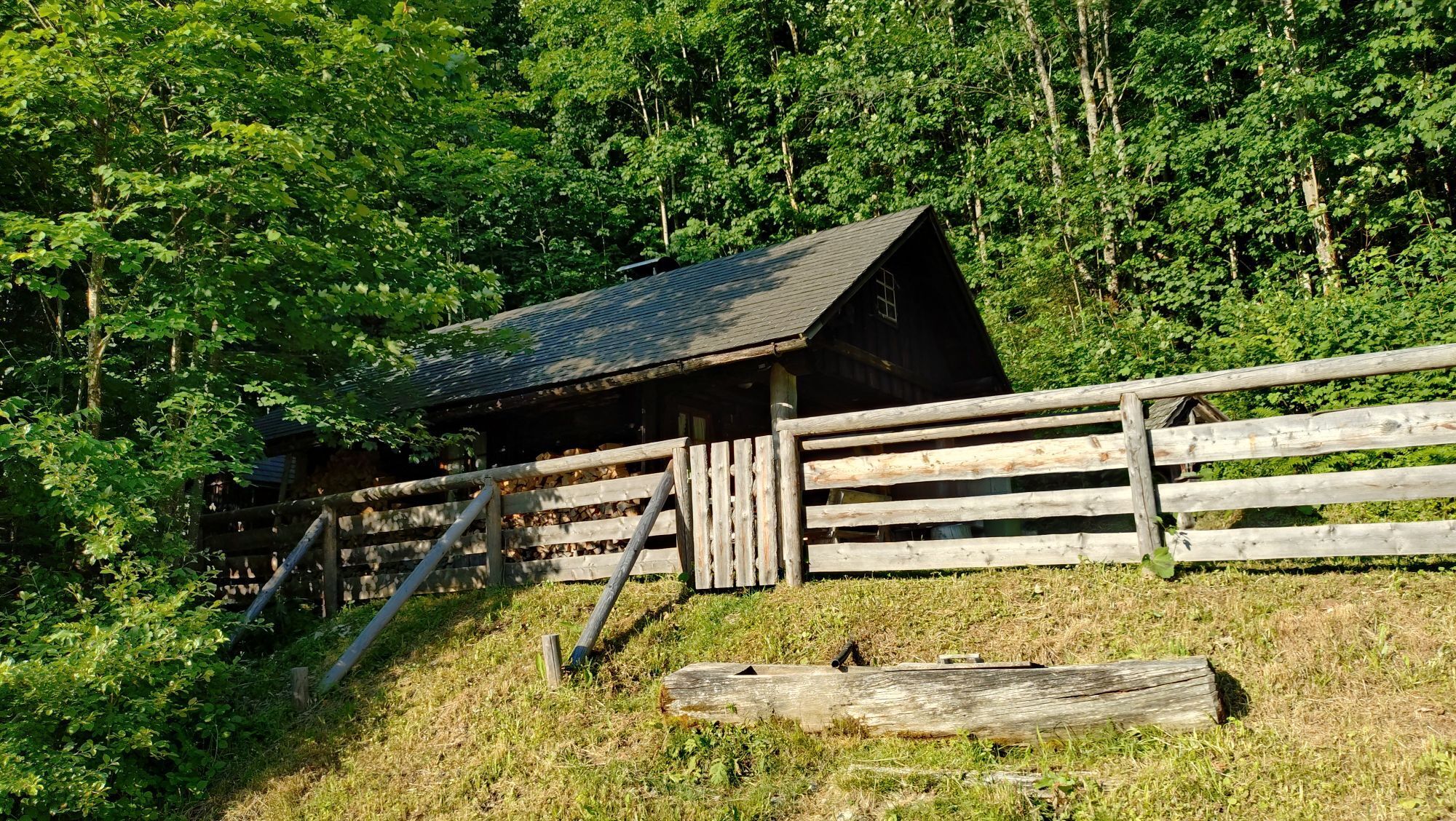
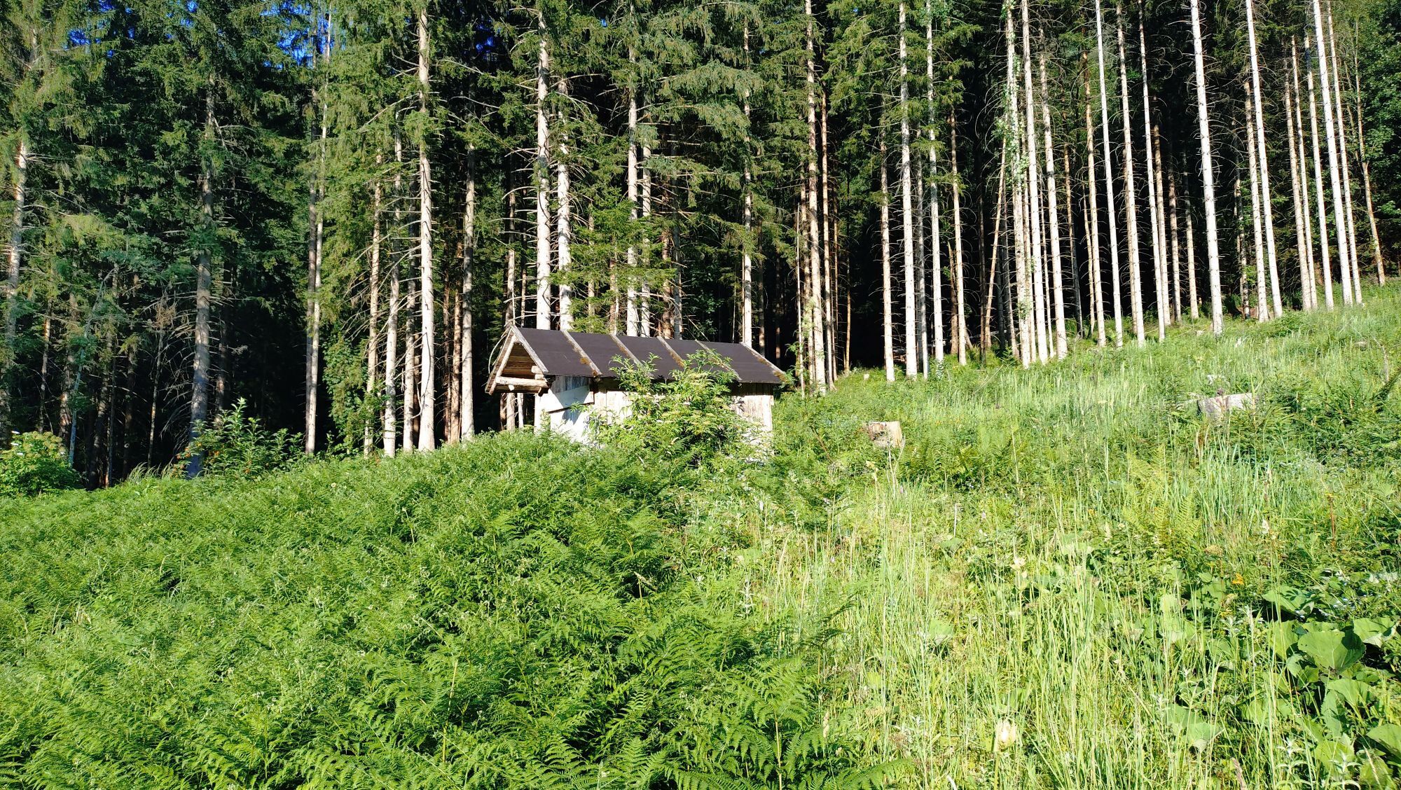
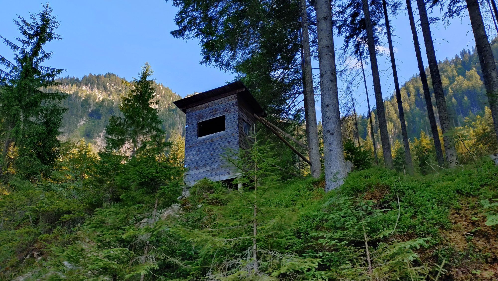
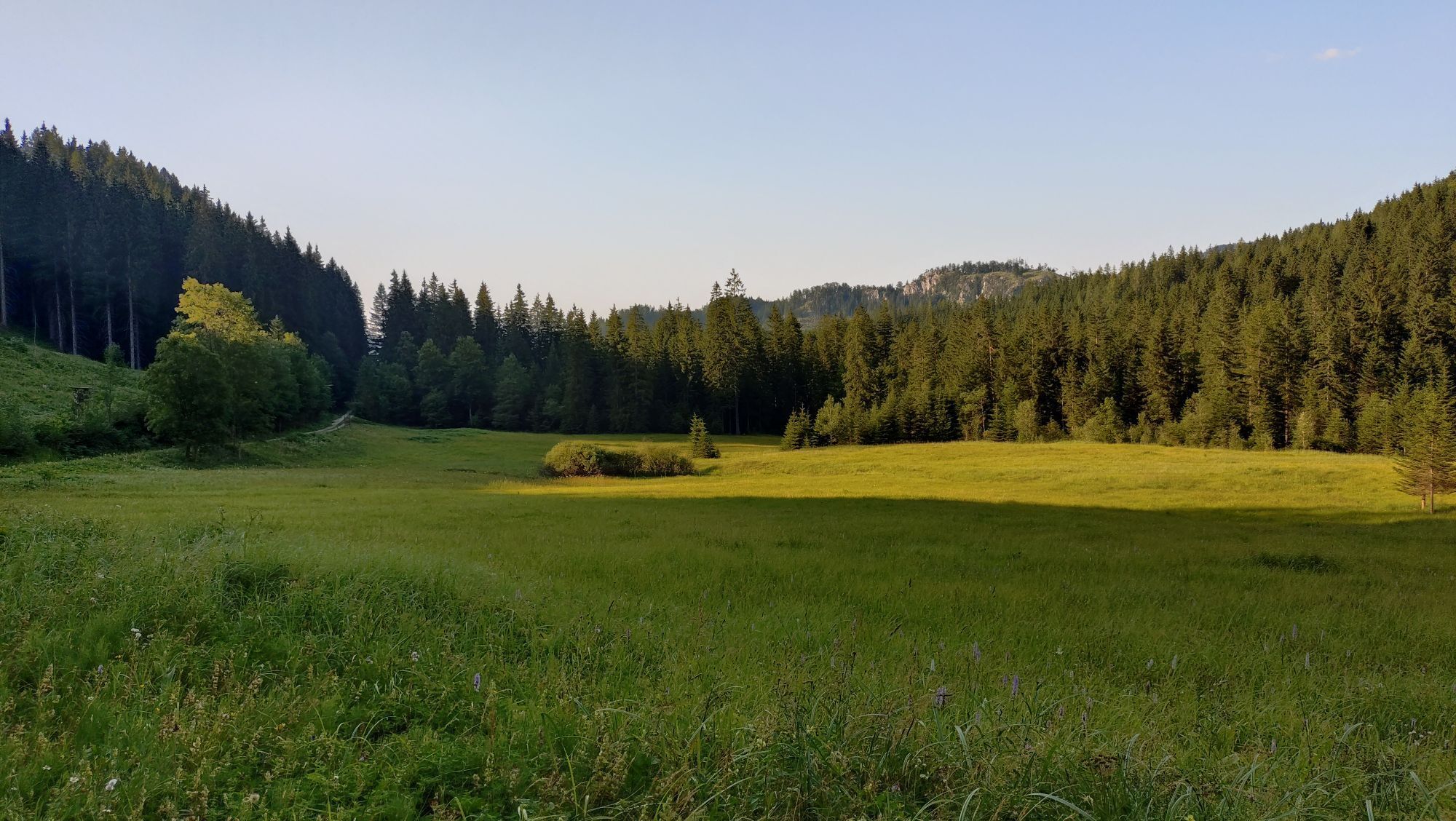
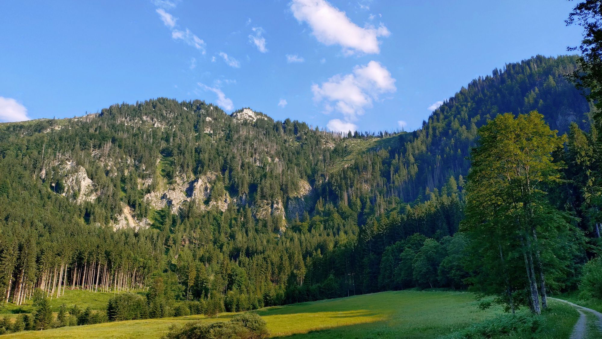
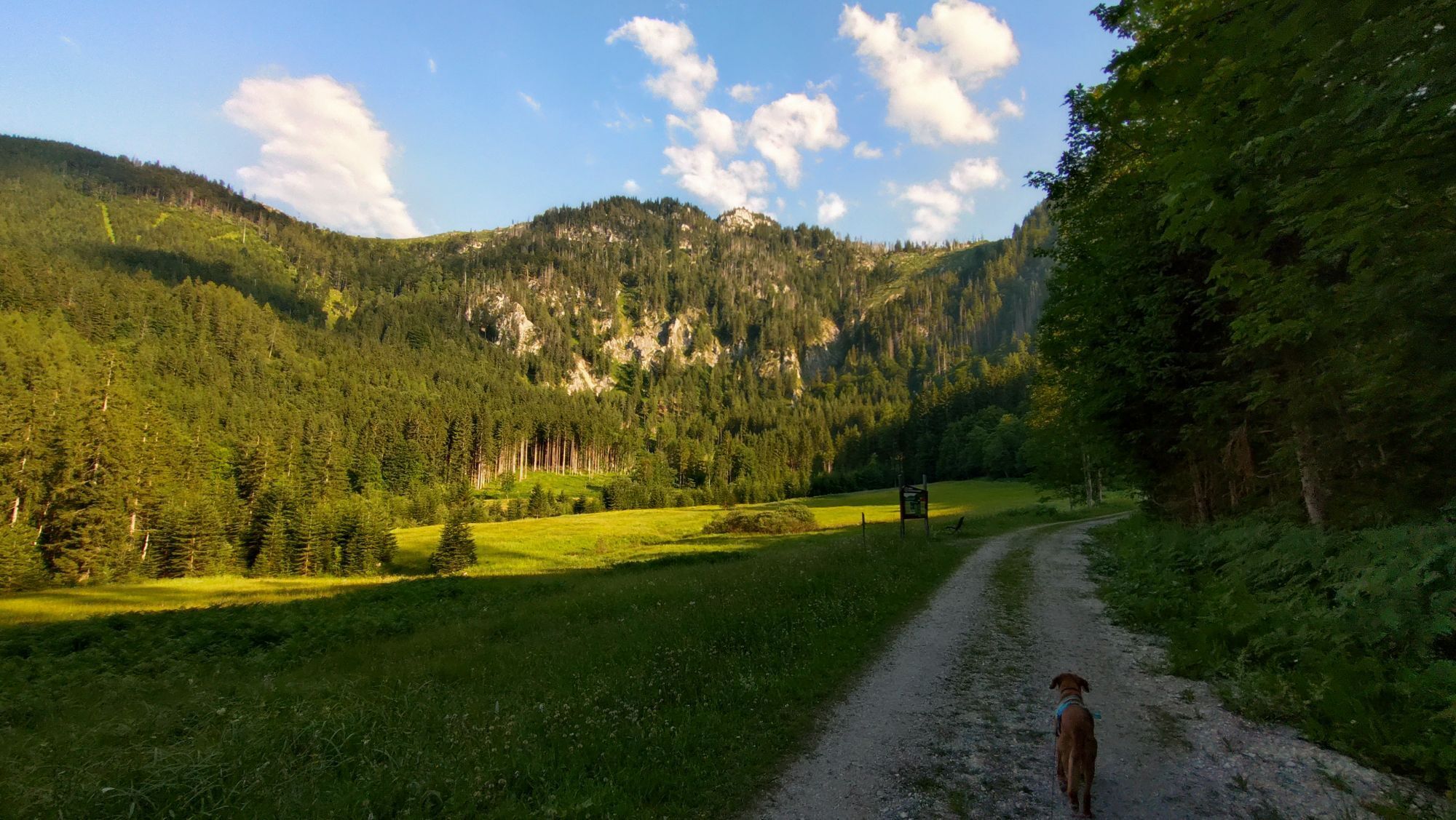
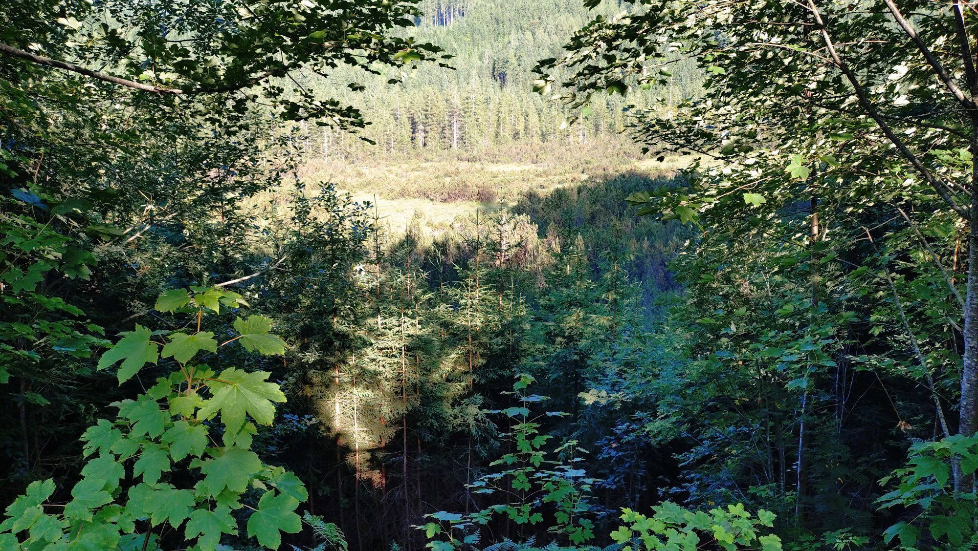
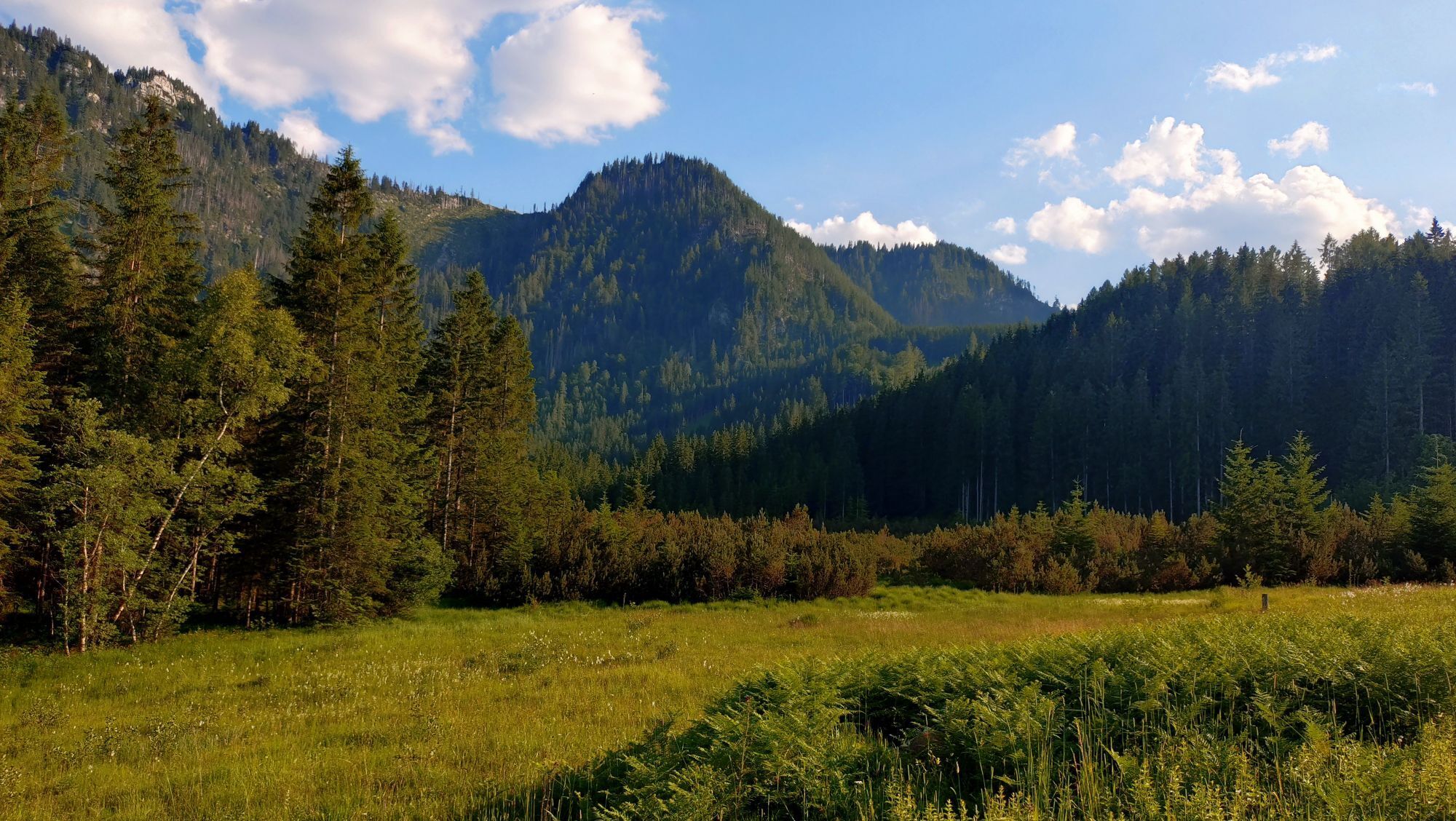
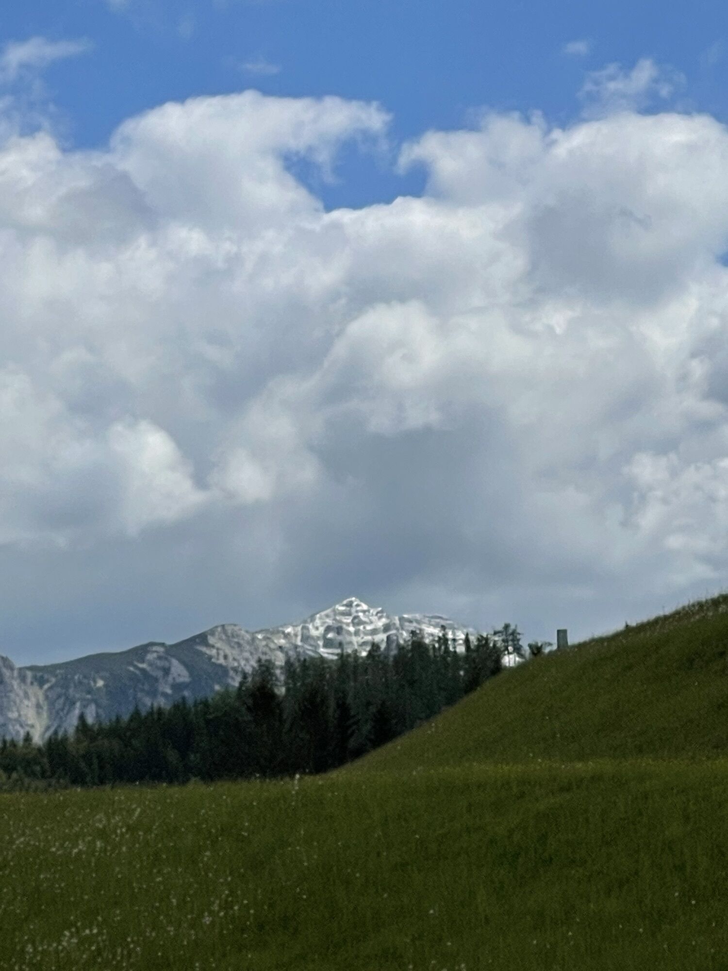
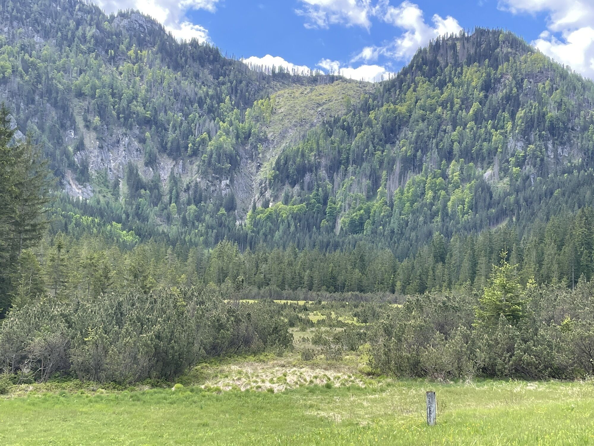
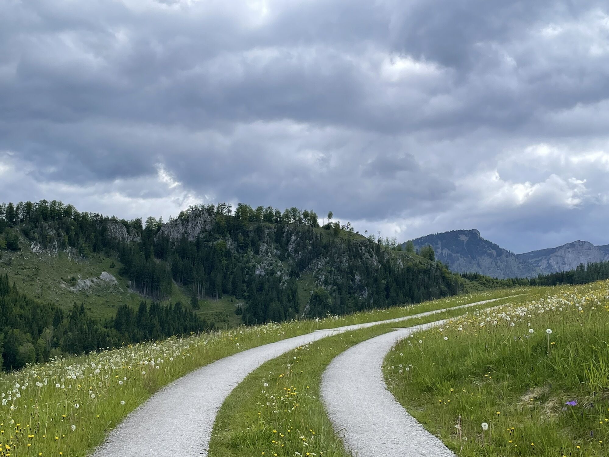
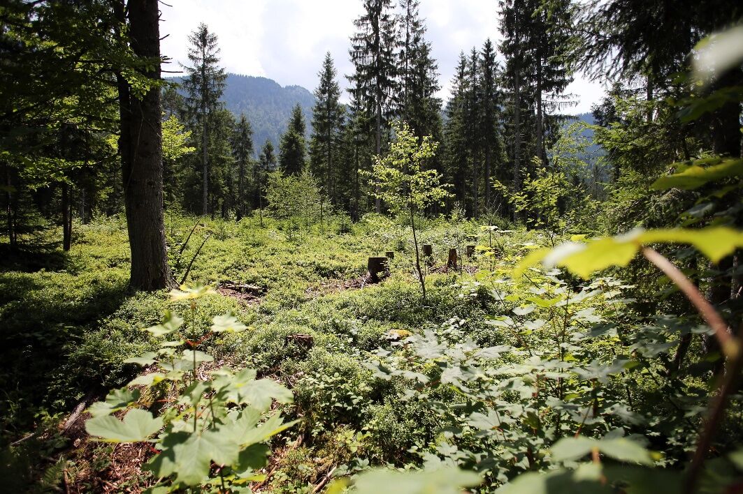
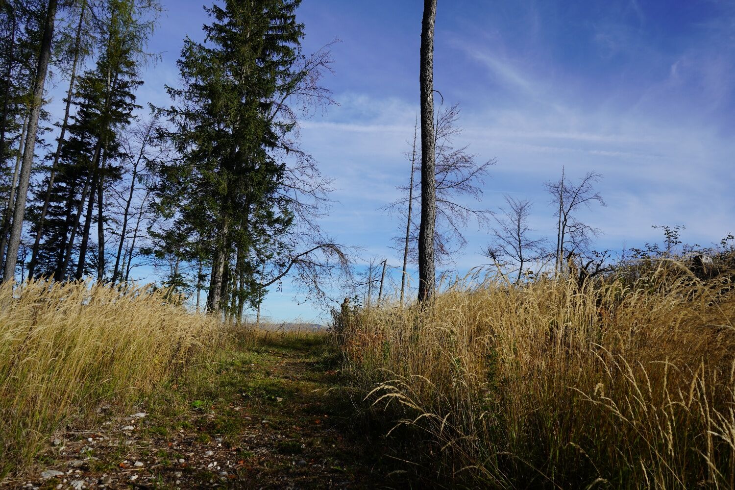
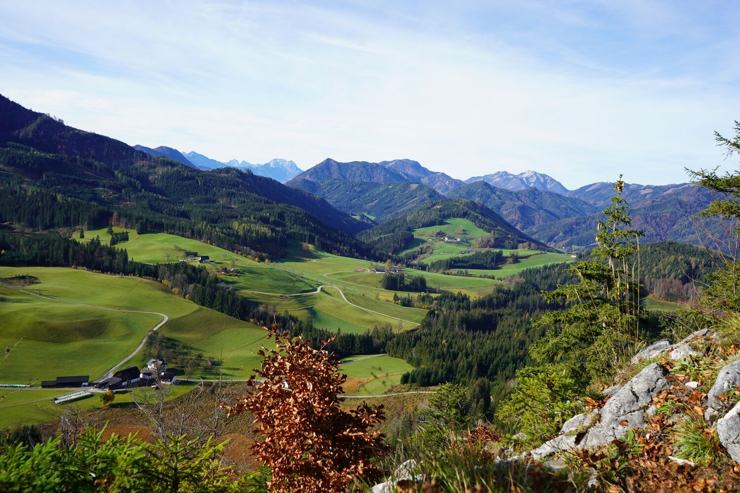
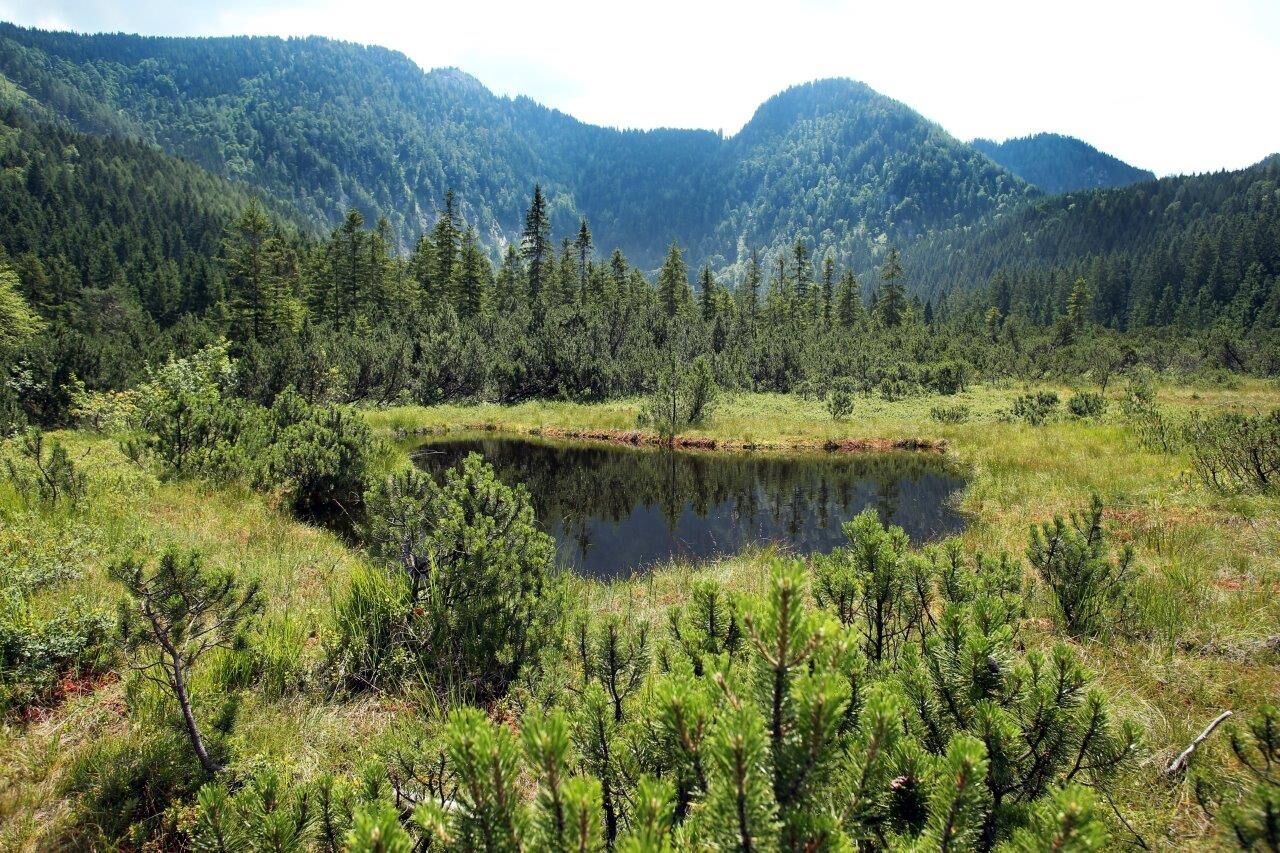
The hike starts on the Hochplateu plateau in Hochreit at the Ablass farm and follows the hiking trail sign in the direction of Hochmoor via the Seisenbachau farm to the Hochtal valley. From there, the road continues to the impressive Leckermoos high moor nature reserve, which is circumnavigated. Here on the second level, numerous natural features can be seen and observed along the way. Surrounded by the pristine mountain forests, the tour now leads back towards the Ablass farmhouse and snack station, until around 350m before you reach a turn-off to the right following the hiking trail sign towards Sonnstein and Steinkogel. ATTENTION: If you choose this summit option, you must be absolutely sure-footed in the upper section, as the path leads up to the Sonnstein at 1,019m, which is the third and highest level. Alternating between the forest road and paths, the trail leads up to the summit. Once at the top, the panoramic views are overwhelming and offer a special perspective of the surrounding mountains(ATTENTION: surefootedness is essential in this area!). The descent is initially via the trail through the forest and then along the forest road back to the starting point, the hiking accommodation Bauernhof Ablass.


Asphalt, secondary, forest roads and hiking trails
Please ensure equipment appropriate to the weather (if necessary sun and rain protection, etc.) and sturdy footwear.
Sure-footedness required for the Sonnstein route
From Vienna take A1 to the Ybbs exit, then B25 to Göstling an der Ybbs
From Salzburg take A1 to Amstetten-West exit, then B121 towards Waidhofen an der Ybbs, and from there continue on L31 to Göstling an der Ybbs
Parking available at the hiking host Bauernhof & Jausenstation Ablass.
Accommodation, dining options and further information about the hiking village Göstling/Ybbs can be found at: www.ybbstaler-alpen.at/goestling-hochkar and www.mostviertel.at/goestling
â°ï¸ TIP: SHORT HOLIDAY IN MOSTVIERTEL â°ï¸
To get to know the hiking village Göstling/Ybbs, a short holiday is recommended. We are happy to assist you with the booking:
info@mostviertel.at
+43 7482 204 44
Pridobite vpogled
Vedno v živo na mestu z več kot 9.500 spletnimi kamerami. bergfex Kot uporabnik Pro si lahko zdaj ogledate ustrezne spletne kamere za številne izlete v aplikaciji izleti iz. Tako si lahko neposredno ogledate trenutne razmere.
Priljubljeni izleti v okolici
-
4.5
Hochkar - Schmalzmauer - Geißhöhe - Ringkogel - Schwarzalmhütte - Brunneckerhütte
srednjaPohodništvo 13.2 km -
4.4
Das 3 Seen-Erlebnis (Lunzer See - Mittersee - Obersee)
srednjaPohodništvo 9.33 km -
4.3
Rund um den smaragdgrünen Lunzer See
svetlobaPohodništvo 4.80 km -
4.9
Panoramic summit Maiszinken - alpine experience included
srednjaPohodništvo 12.6 km -
4.9
Kurzeck- Siebenhütten- Turnhöhe- Kitzhütte Göstling an der Ybbs, Österreich
svetlobaPohodništvo 12.8 km -
4.6
Lechner Graben - Ybbstaler Hütte
srednjaPohodništvo 14.2 km -
4.9
Lechnergraben-Grünloch-Ybbstalerhütte
svetlobaPohodništvo 9.72 km -
4.4
Palfauer Wasserlochklamm
srednjaPohodništvo 1.78 km -
4.1
wanderung auf den alpl
srednjaPohodništvo 8.18 km -
4.6
Dürrenstein über die Herrnalm
srednjaPohodništvo 9.52 km
Pohodništvo in sledenje


Ne zamudite ponudb in navdiha za naslednje počitnice
Vaš e-poštni naslov je bil dodan na poštni seznam.





