







Fahrafeld church route with ascent to the Hegerberg
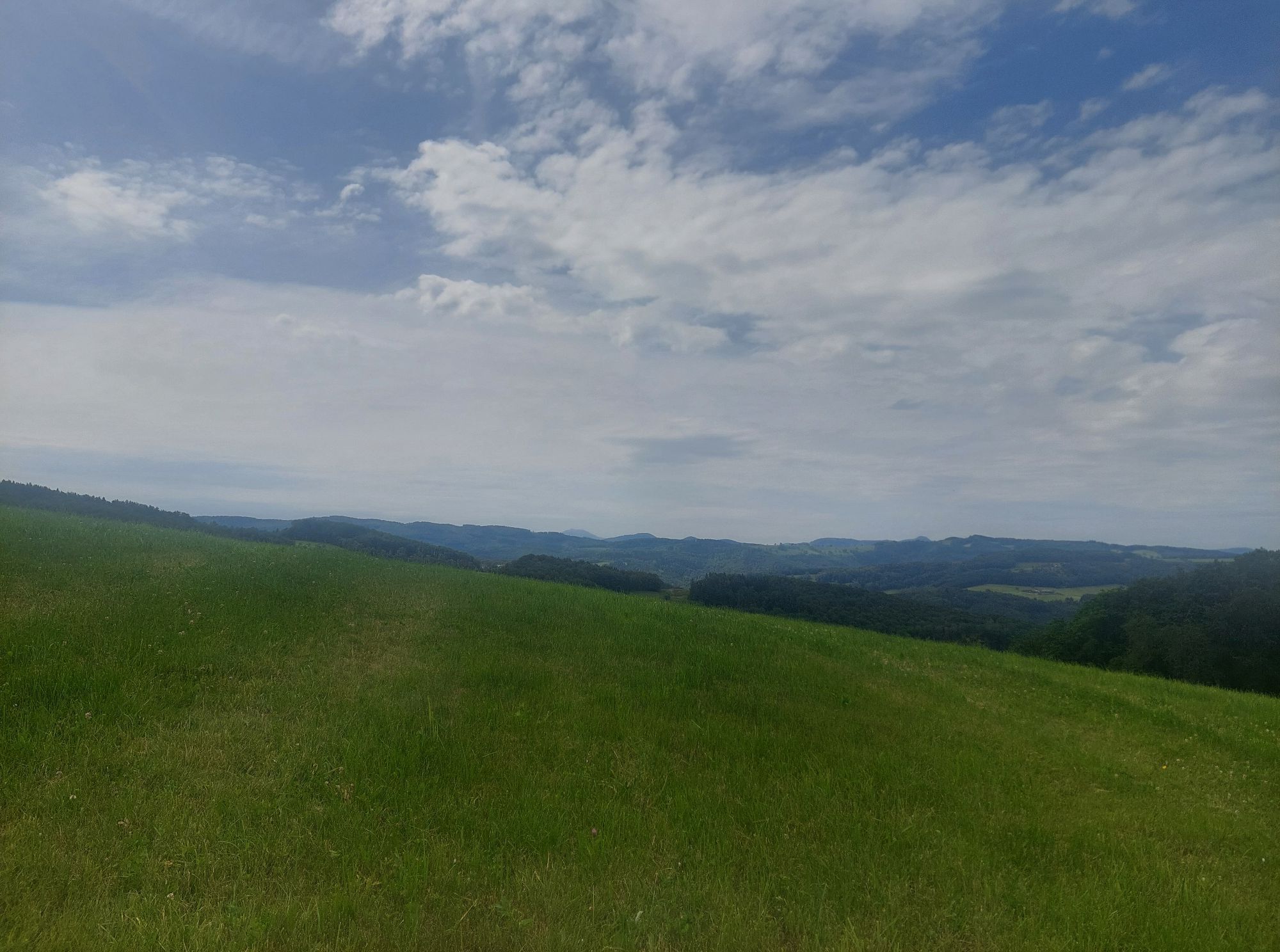

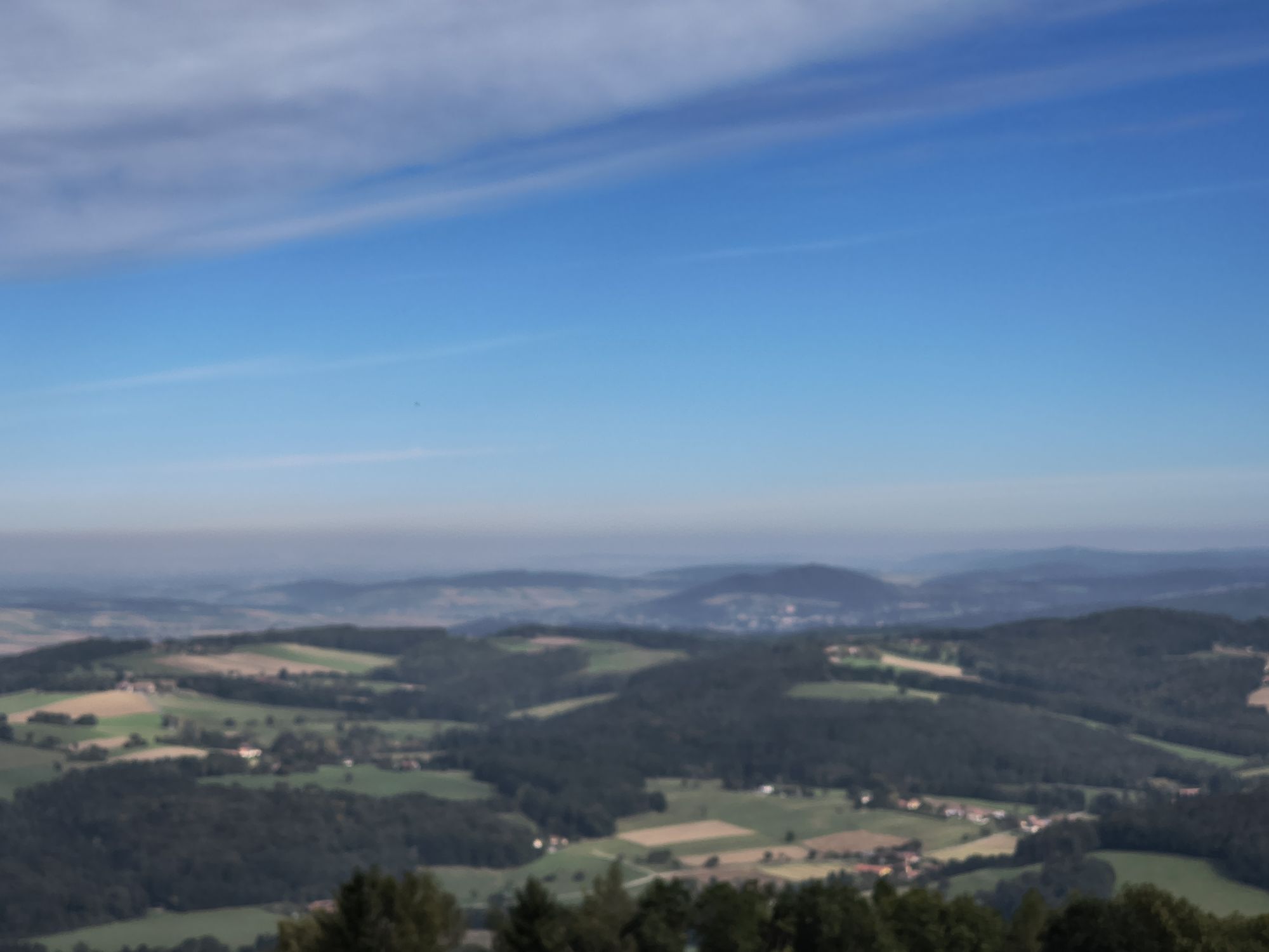


We are walking on broad ground - generations have walked this path every Sunday and there has certainly been a lot of gossip, laughter and the odd scuffle. So let's listen carefully - perhaps in the peace...
We are walking on broad ground - generations have walked this path every Sunday and there has certainly been a lot of gossip, laughter and the odd scuffle. So let's listen carefully - perhaps in the peace and quiet of this path today, we will be able to hear a story. In the second section of this hike, we hike from Fahrafeld over the Kronberg up to the Hegerberg - one of the most beautiful approaches to this popular Excursion destinations.

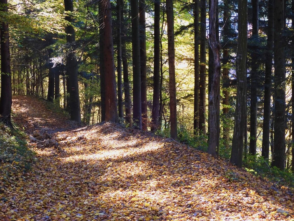
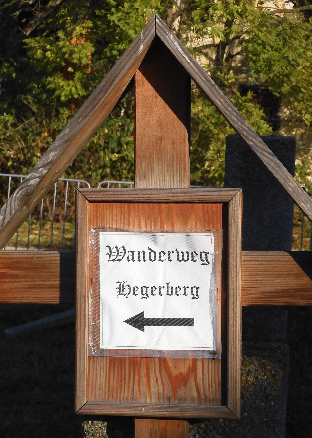

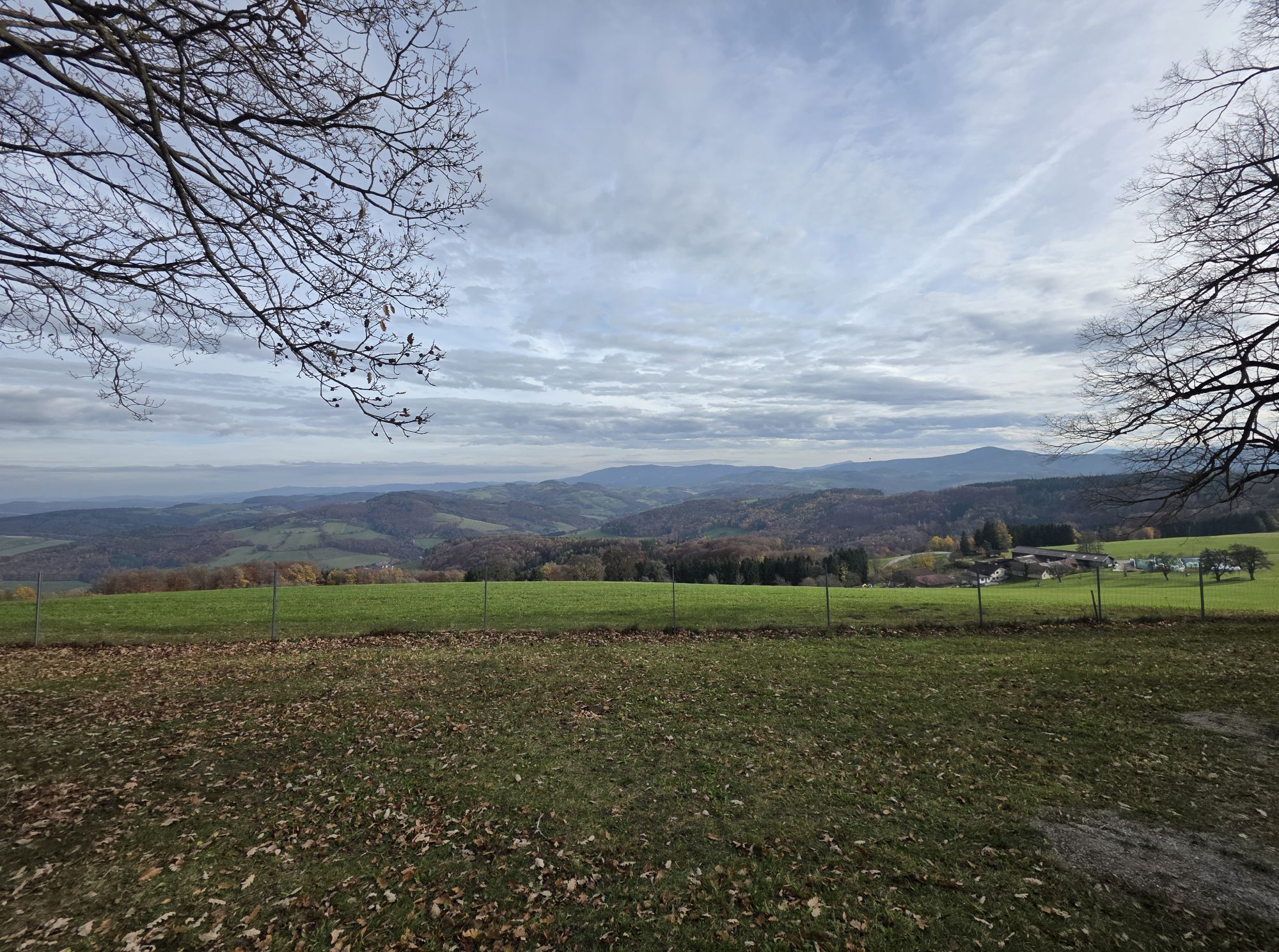
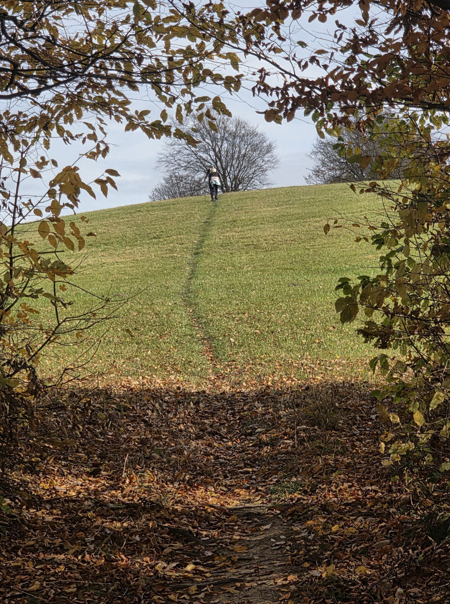
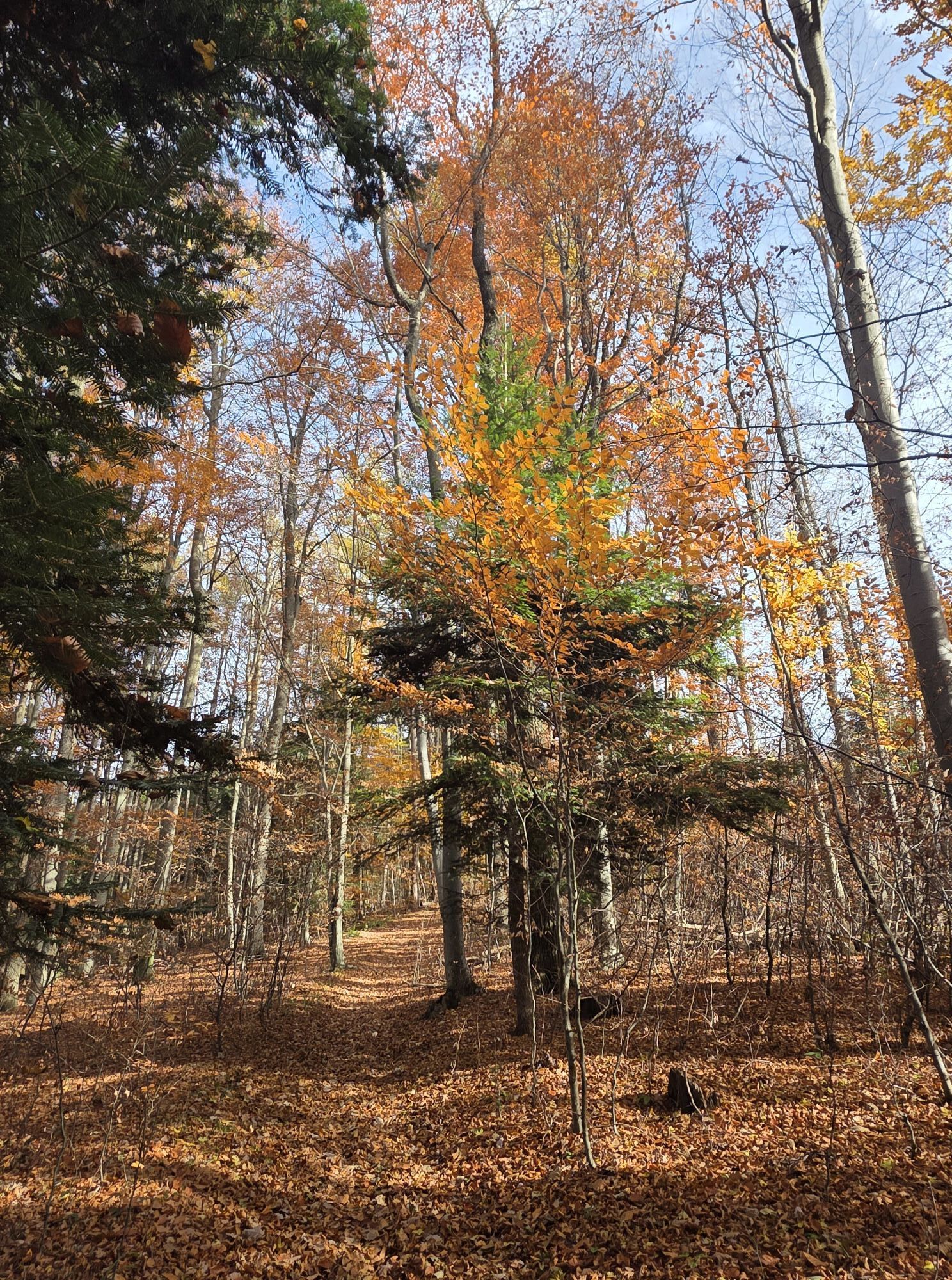
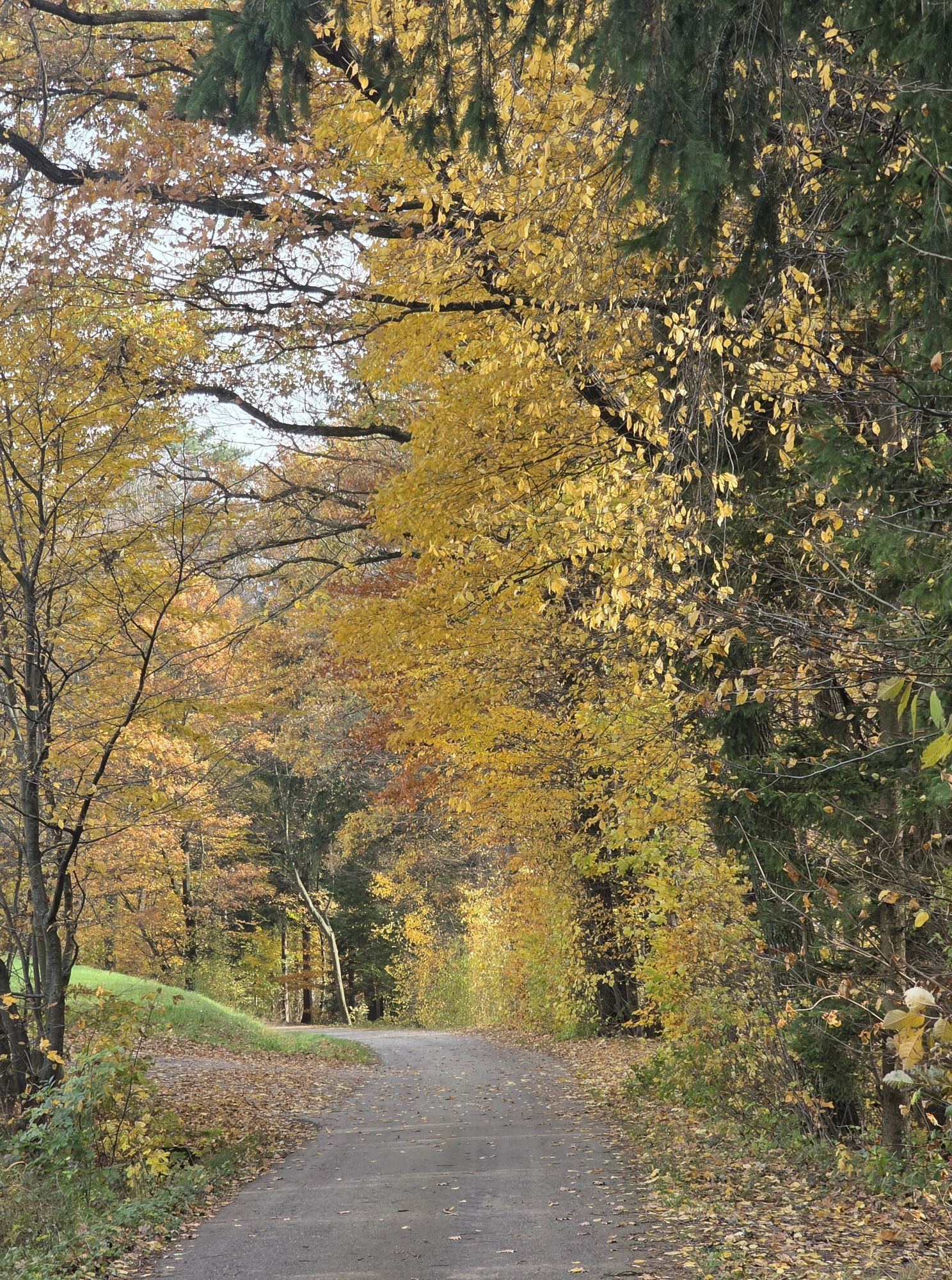
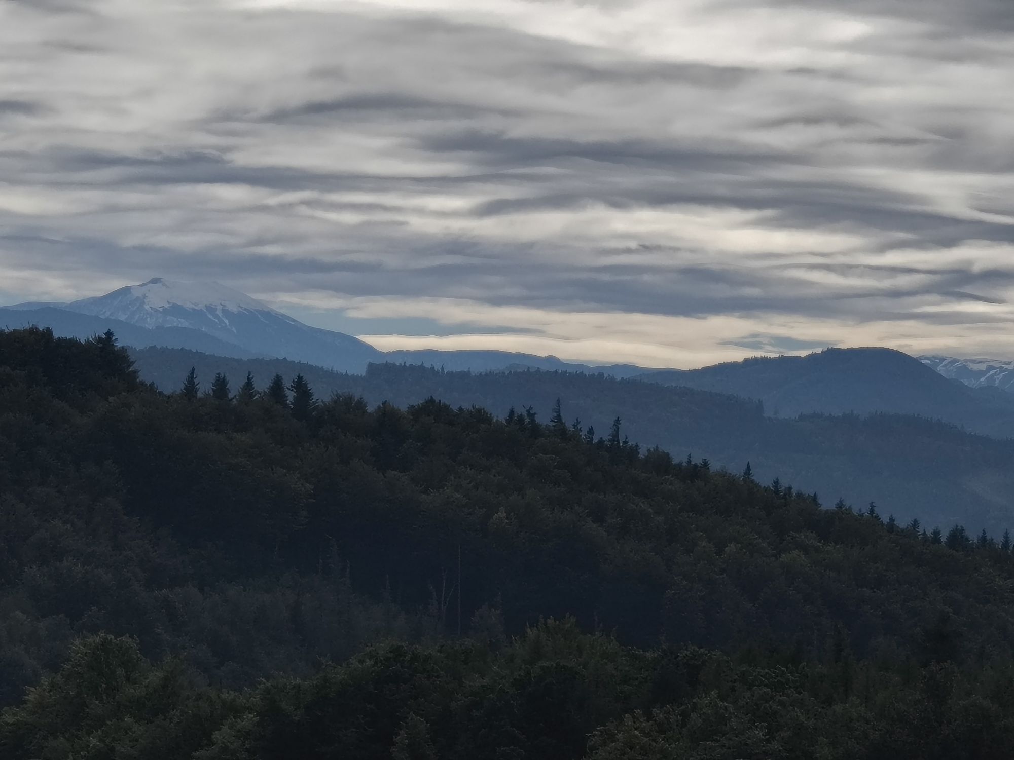
We authentically start the Kirchweg at the Kastner parish church and can thus absorb the impressions of the former churchgoers. Soon, as we hike, we leave the village; on the ascent to Hummelberg, a restored cider cellar points to the orchard richness of this region. On the hill near the Hummelberg farmstead, amidst a dreamy meadow orchard, awaits another witness of bygone days – one of the typical drying houses (colloquially: Dirhäusl). Soon we walk on the route of the 2nd Vienna High-Altitude Water Pipeline in a quiet, idyllic setting. Our crossing from the Stössingbach valley into the Perschling valley is marked by the "Wasserschloss," which is accompanied by some strong serviceberry trees. Upon arriving in Fahrafeld, we can refresh ourselves at the Geppl inn or take a snack from the Geppl grocery store. The further path to the Hegerberg is one of the most beautiful ascents to this peak. From the valley floor to the summit, we always walk on forest or meadow paths away from settlements or any roads. After a strenuous ascent through the beech-dominated mixed forest, we reach the Kronberg with magnificent views to the north and west – on special days, the Schneeberg can even be seen in the southeast behind Michelbach's hill chains. After a short rest near serviceberry trees, the summit push to the Hegerberg is an easy one.
EXACT ROUTE DESCRIPTION:
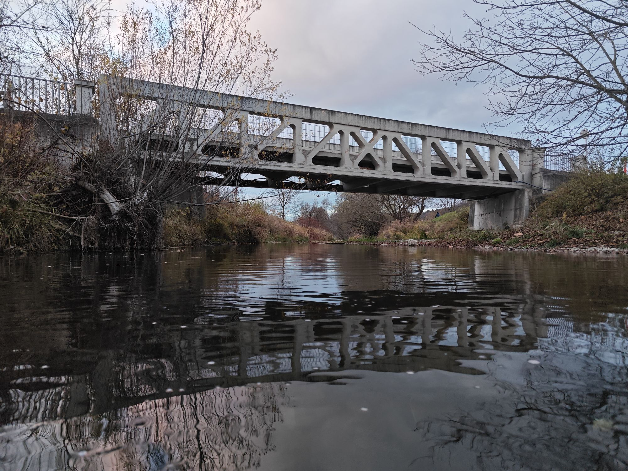
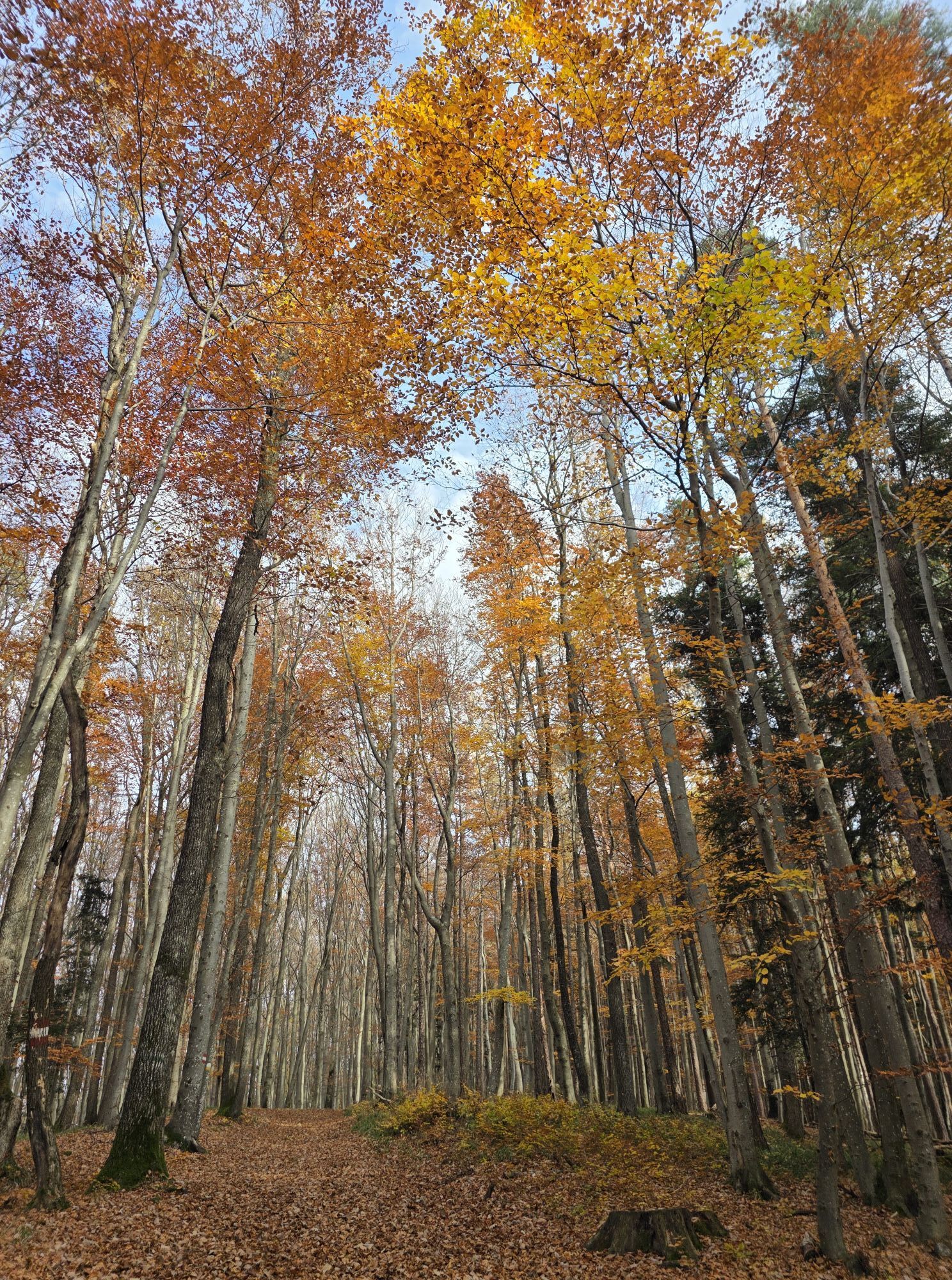
From the starting point, the parking lot of the parish church Kasten, we go south down to the main road, where we keep right toward Böheimkirchen and walk about 200 m along the road until the left turn to Hummelberg. Down the road, over the bridge, past a remarkable Marian wayside shrine and a beautifully restored cider house, we come to the Hummelberg farm road. We march up this road to the hilltop. At the bend before the Hummelberg farmstead, we leave the farm road and turn into a field path, crossing the saddle straight ahead. Soon the first signs for the 2nd Vienna High-Altitude Water Pipeline route appear. Following the route, we reach the Wasserschloss and already see the first houses of Fahrafeld. The field path below the Wasserschloss leads us down to Fahrafeld where we can refresh ourselves at the Geppl inn. For the onward journey, we stay on the east side of the Michelbach bank, go upstream to the well-kept Perschlinghof in Schönbrunngelb. Immediately after the farmstead, we turn onto the forest road, marking 404. After 100 m, we leave the forest road to the right to continue on a meadow path. From this, we ascend another 200 m left into the forest. A dreamy forest path leads us through the beautiful forest up to the Kronberg – the last stretch uphill along a forest edge. On the Kronberg ridge awaits a rest area, two stately serviceberry trees, and the best view. Continuing along the ridge into the forest, a footpath through the biodiverse forest brings us to our summit goal – the Hegerberg. For the descent, the hiking trail "Hiking Hegerberg via Lielach" is recommended.
Standard hiking equipment
Westautobahn A1, exit Böheimkirchen (Exit 48), state main road LH110 to Kasten
With the regional train from St. Pölten or Vienna West to Böheimkirchen. With the ÖBB bus to Kasten, stop Kasten No. 1
Parking lot at the parish church Kasten
Municipality Kasten
3072 Kasten 48
Phone 02774/5212
gemeinde@kasten-boeheimkirchen.gv.at
www.gde-kasten.at
Gastronomy:
Gasthof Geppl
3071 Böheimkirchen, Fahrafeld 10
Phone 02744 / 5601
gasthof.geppl@aon.at
www.geppl.net
Gasthof Grasmann
3071 Böheimkirchen, Fahrafeld 27
Phone 02744 / 5611
gasthof.gr@smann.at
www.gasthof-grasmann.at
Sigi Schmeisser
3072 Kasten 7
Phone 02744 / 5315
zumsigi@wavenet.at
www.zumsigi.at
Village inn Prunnbauer Herbert
3072 Kasten 1
Phone 02744 / 7550
Eigi's Sportcafe
Jenny Eigenbauer
3072 Kasten 8
Phone 0664 / 2339805
Johann Enzinger Shelter
At Hegerberg
3072 Kasten
Phone 02744 / 5652
Open year-round, no rest day, guest rooms
Local suppliers:
Local supplier Regina Kainzbauer
3072 Kasten 22
Phone 02744 / 67130
regina@mail.nahversorger.co.at
www.nahversorger.co.at
Saturday: 7:00 am to 12:30 pm
Accommodation options:
Johann Enzinger Shelter, Gasthof Geppl, Gasthof Grasmann
Discover stories and routes in the serviceberry region.
Pridobite vpogled
Vedno v živo na mestu z več kot 9.500 spletnimi kamerami. bergfex Kot uporabnik Pro si lahko zdaj ogledate ustrezne spletne kamere za številne izlete v aplikaciji izleti iz. Tako si lahko neposredno ogledate trenutne razmere.

Priljubljeni izleti v okolici
-
4.7
Schöpfl
svetlobaPohodništvo 9.52 km -
4.5
Rundweg Ochsenburgerhütte
svetlobaPohodništvo 7.60 km -
4.0
Schöpfl von Sankt Corona
srednjaPohodništvo 10.1 km -
4.2
Hainfelder Hütte: Schöner Rundkurs abseits der Massen
svetlobaPohodništvo 10.1 km -
4.4
Hegerberg
svetlobaPohodništvo 8.06 km -
4.7
Rudolfshöhe drei Galgenweg Wilhelmsburg, Österreich
svetlobaPohodništvo 8.04 km -
3.9
Hainfelder Hütte - Angelos Touren
svetlobaPohodništvo 7.11 km -
4.2
INNERMANZING Schoderleh Falkensteiner Htt. Hasenriegel Forsthof Edhof ret. 20230114
svetlobaPohodništvo 13.1 km -
4.7
Schöpfl von Kammhöhe aus
svetlobaPohodništvo 13.2 km -
4.4
3-Hütten-Wanderung
svetlobaPohodništvo 8.69 km
Pohodništvo in sledenje


Ne zamudite ponudb in navdiha za naslednje počitnice
Vaš e-poštni naslov je bil dodan na poštni seznam.





