


Onto Prochenberg


From the pearl of the small Ybbs Valley, the forging center of Ybbsitz, the trail first climbs somewhat steeper on the asphalt road to the Haselstein farm, where the hiking trail begins. It goes nicely...
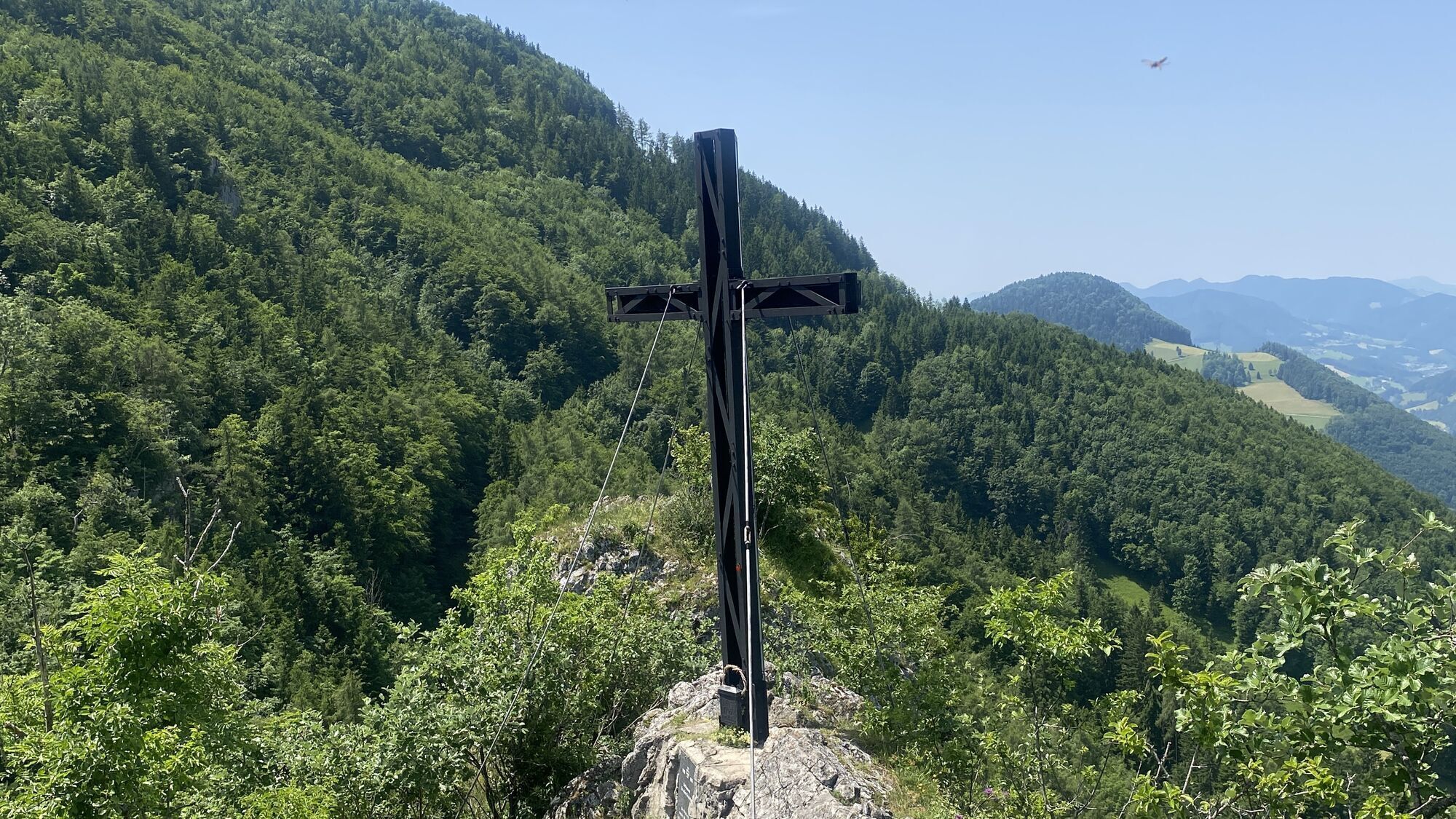
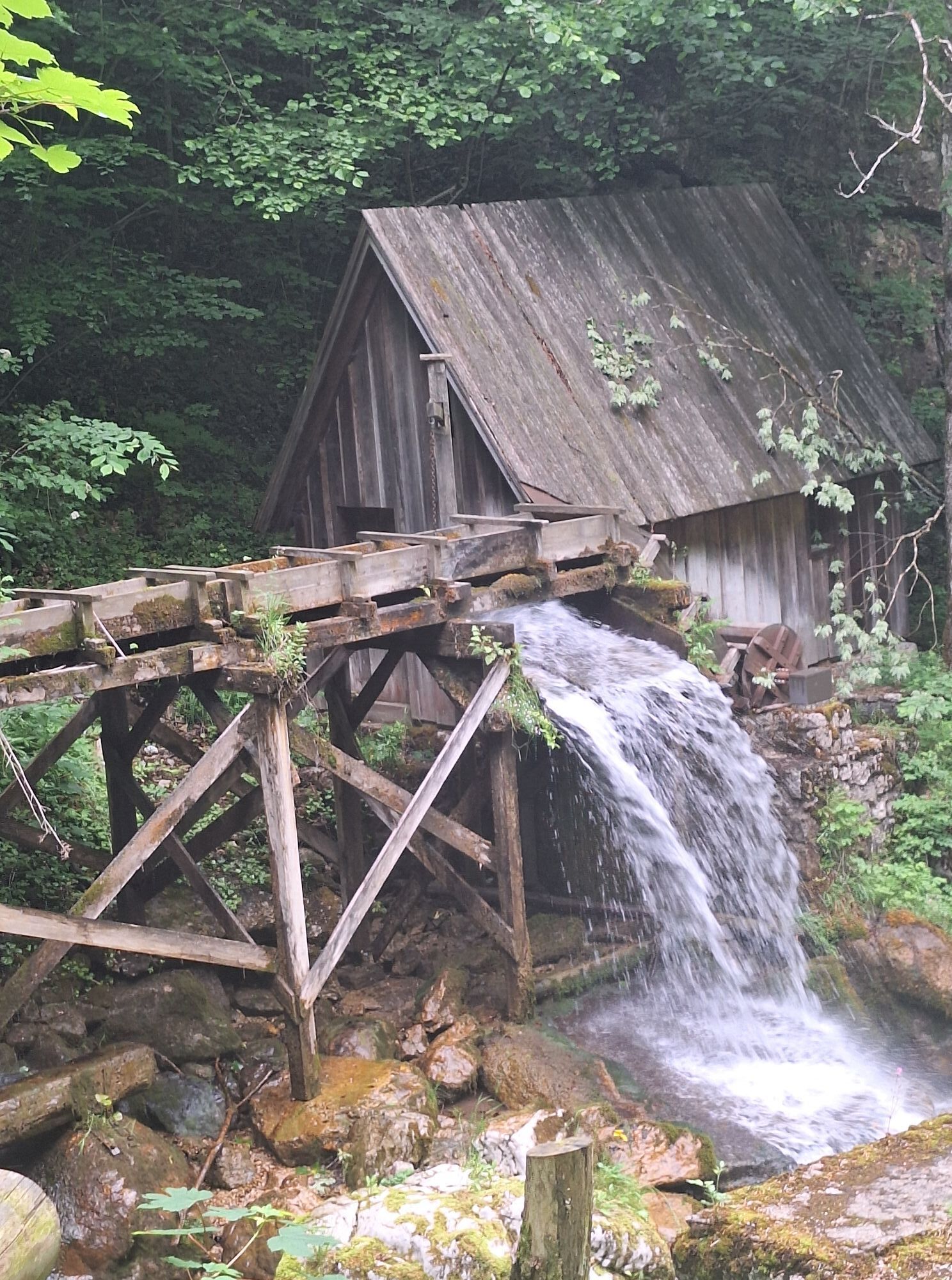
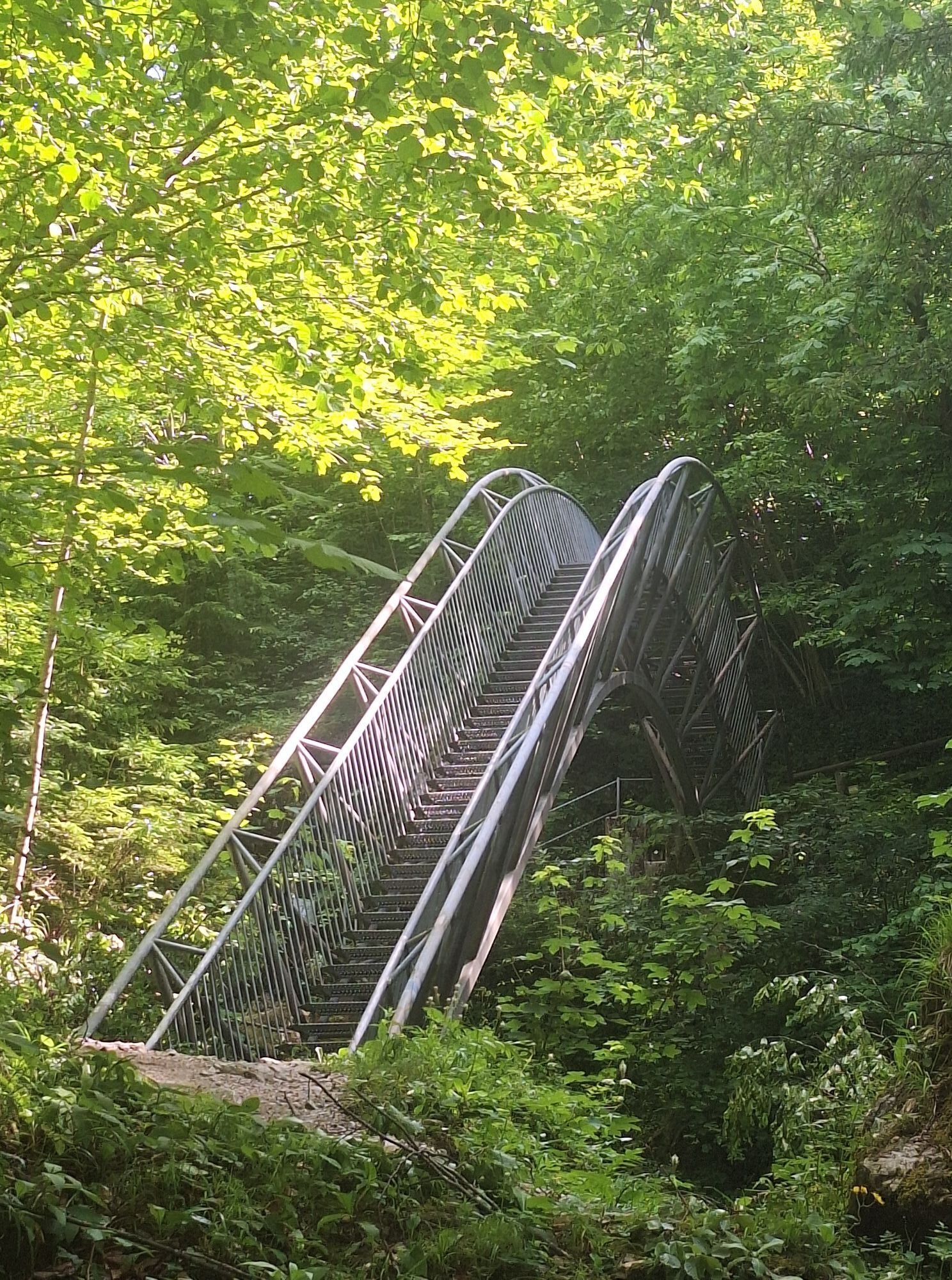
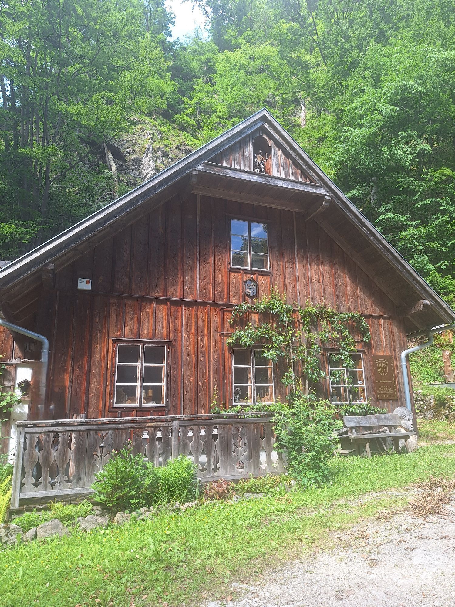
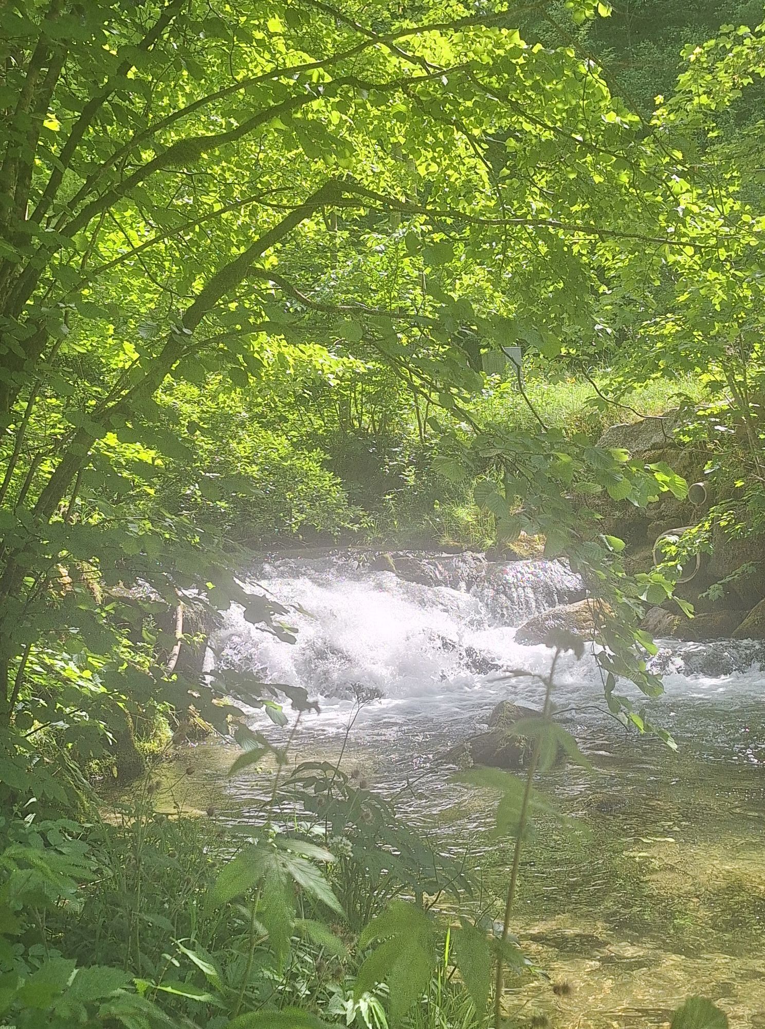
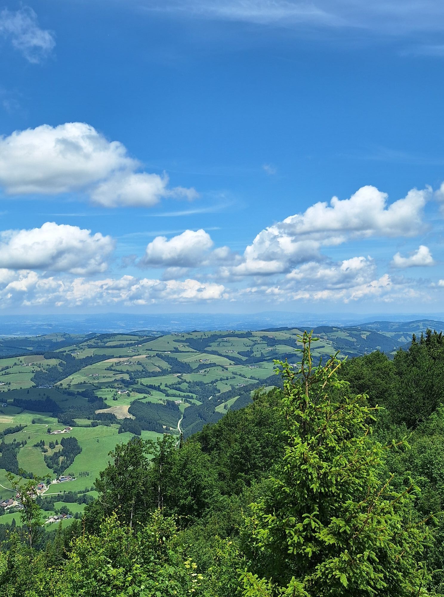
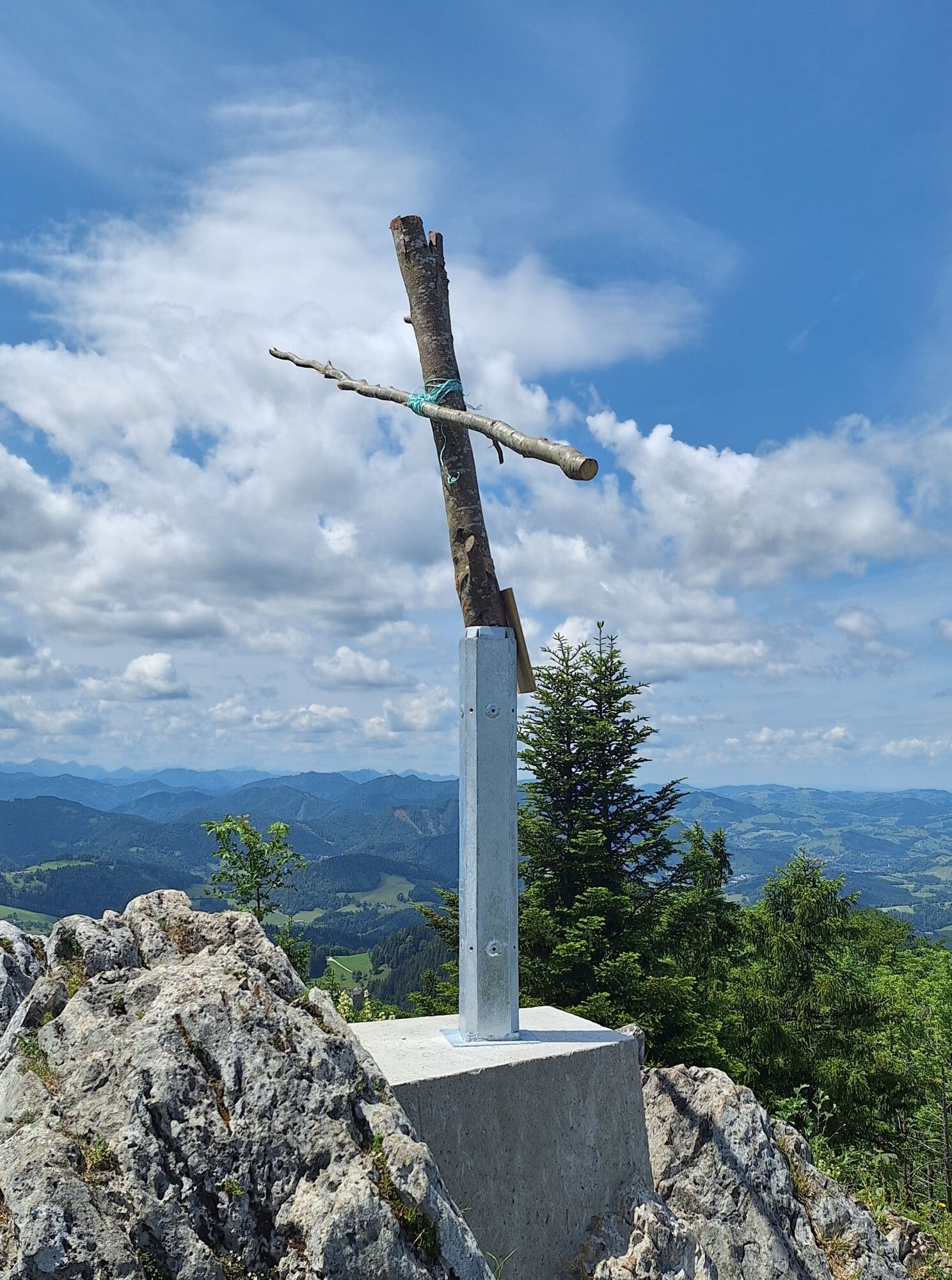
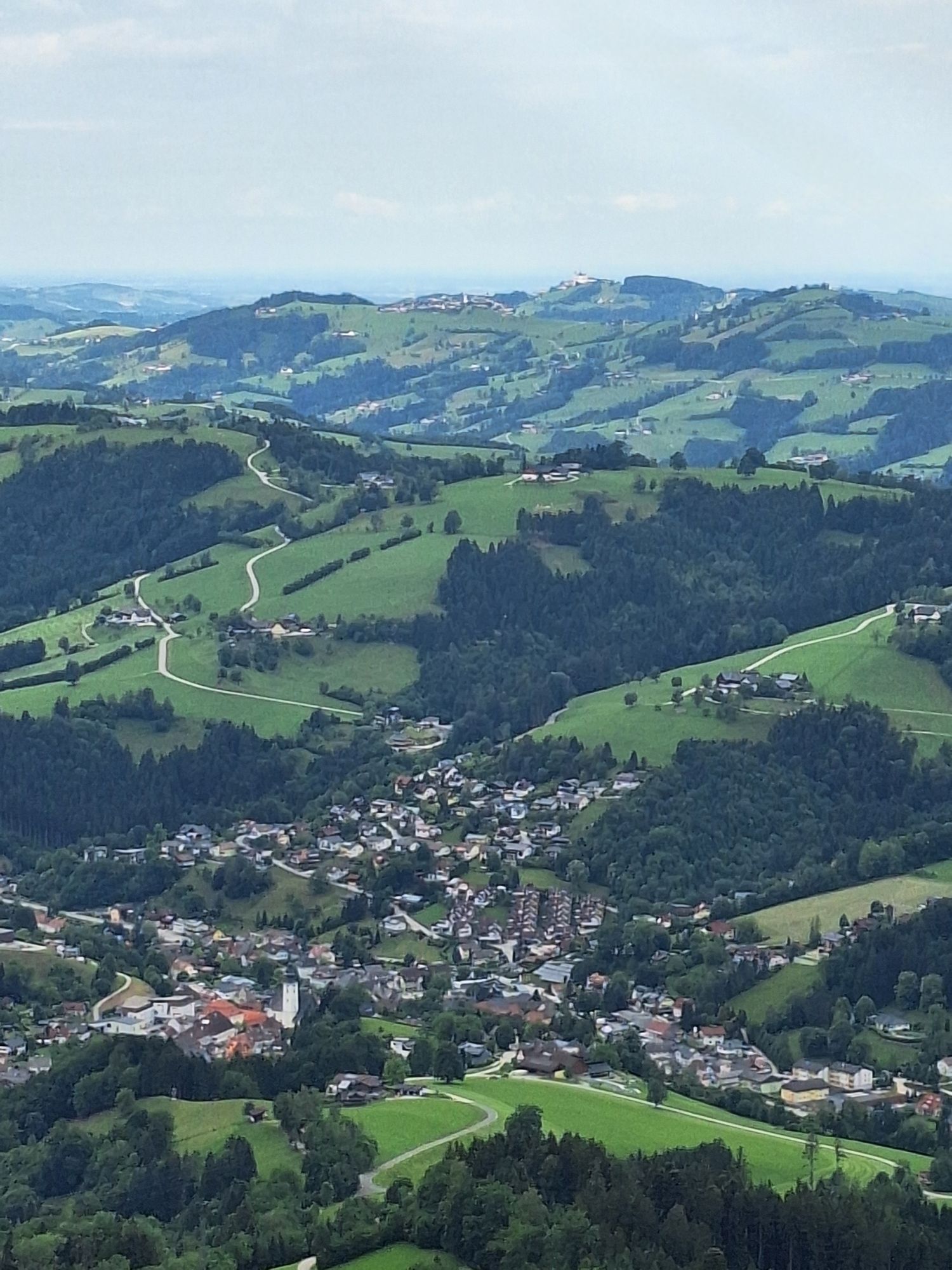
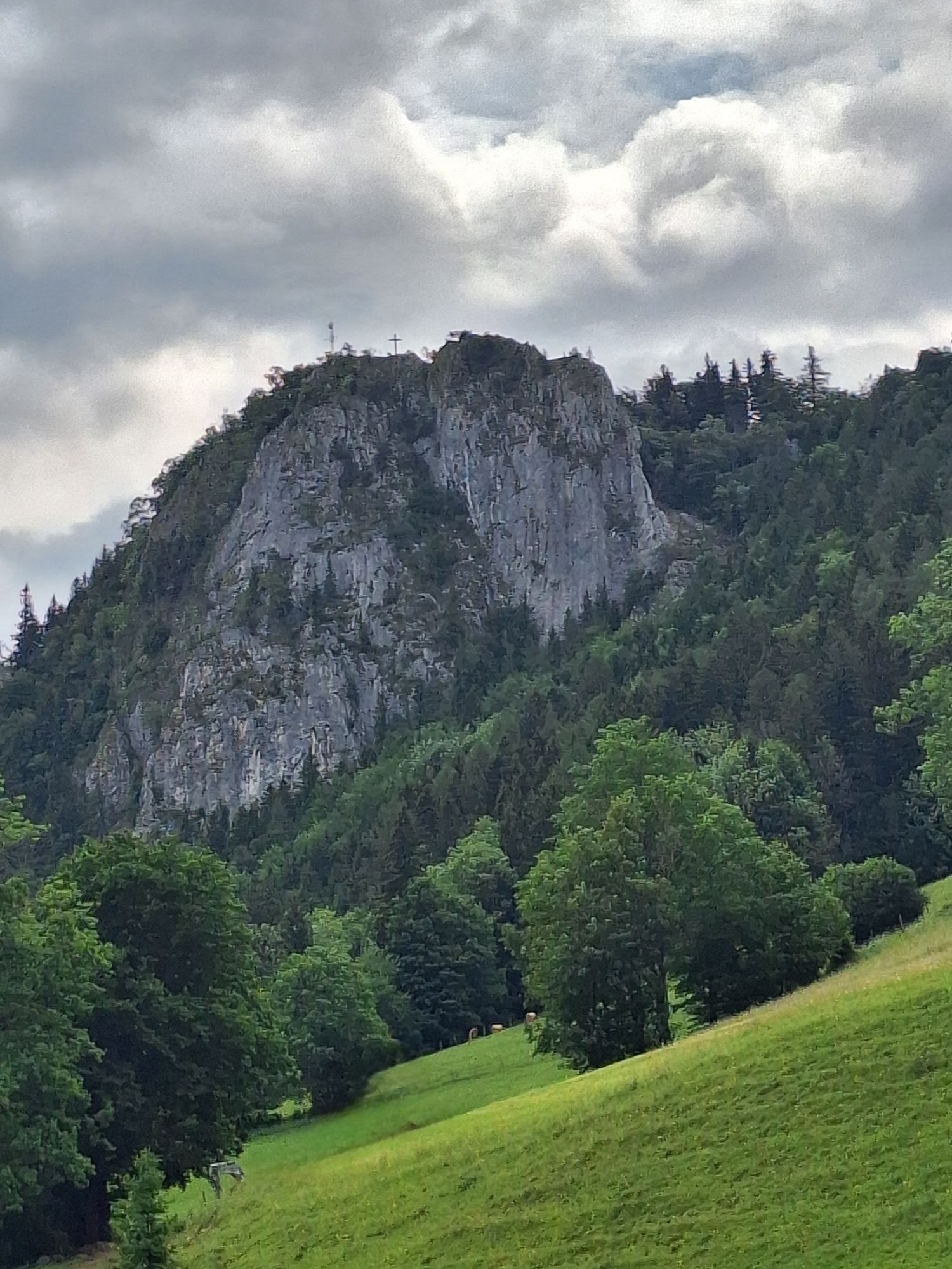
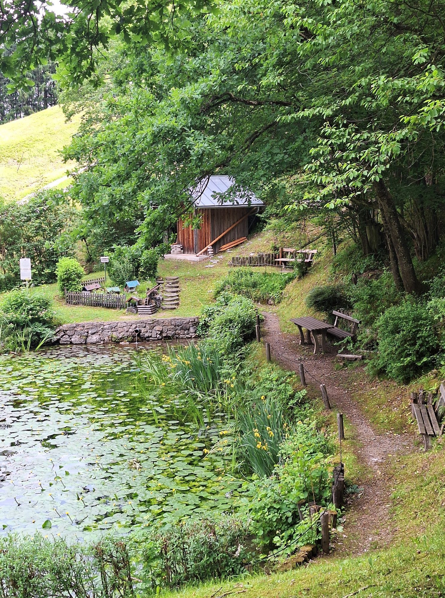
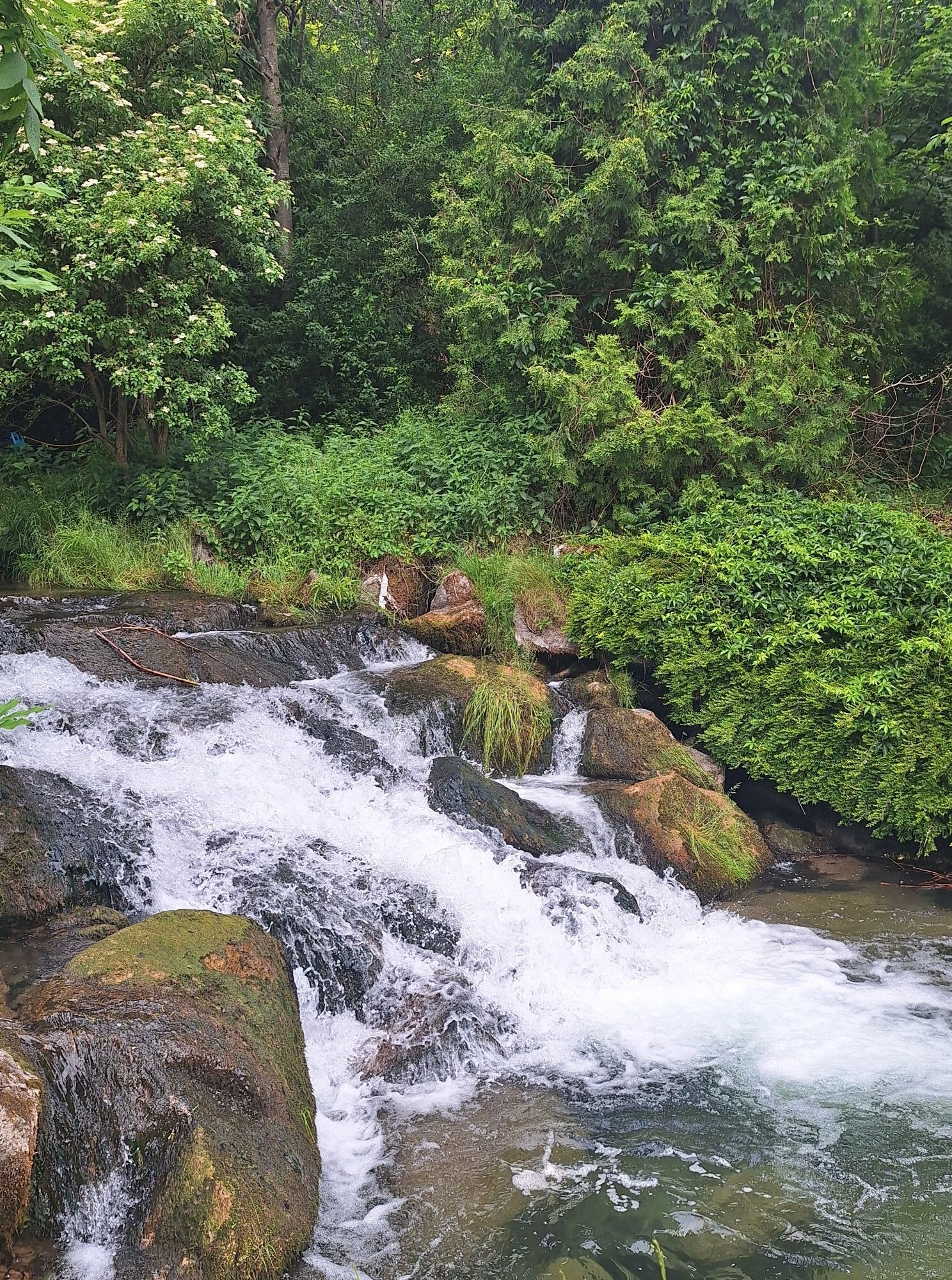
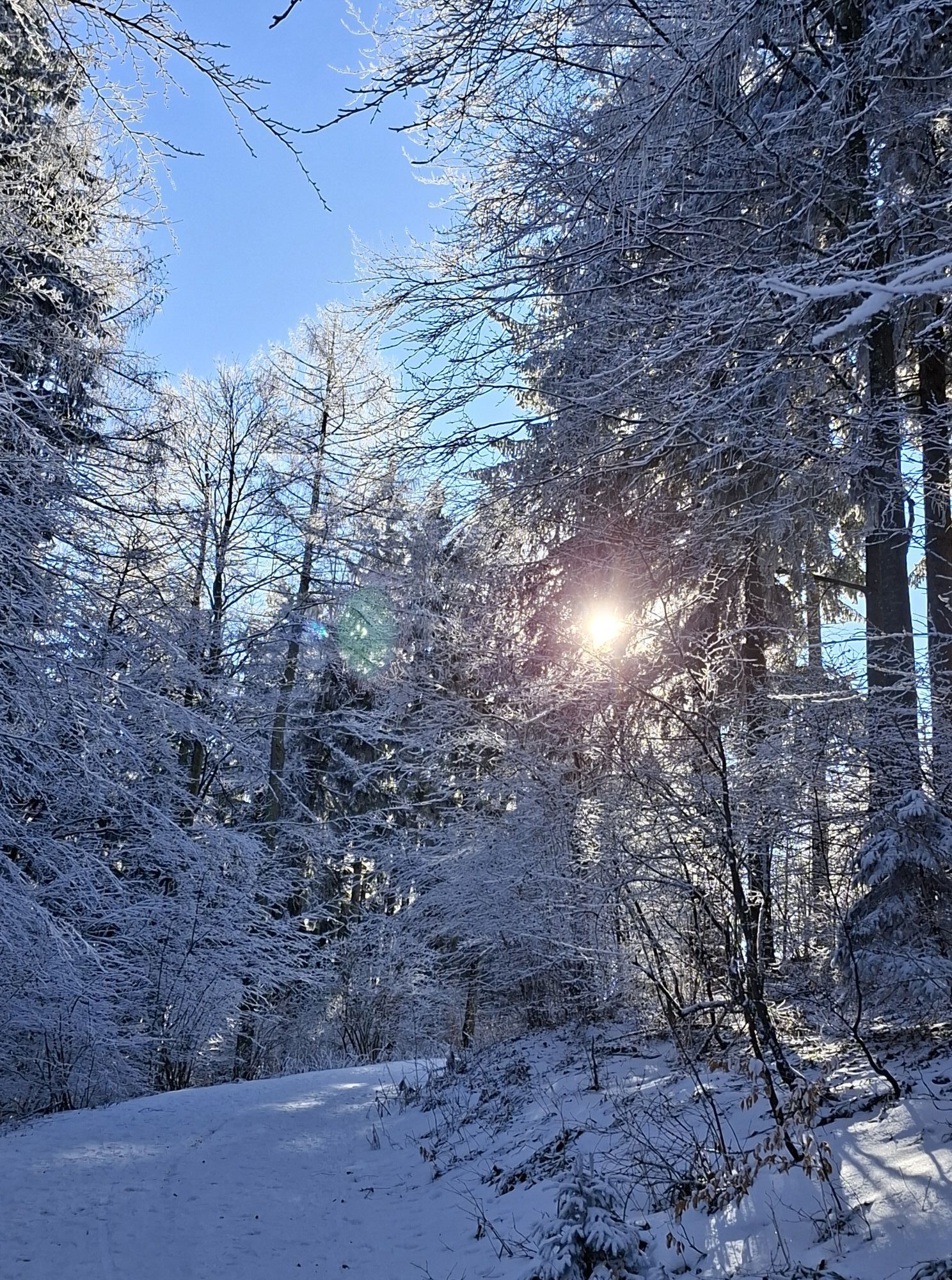
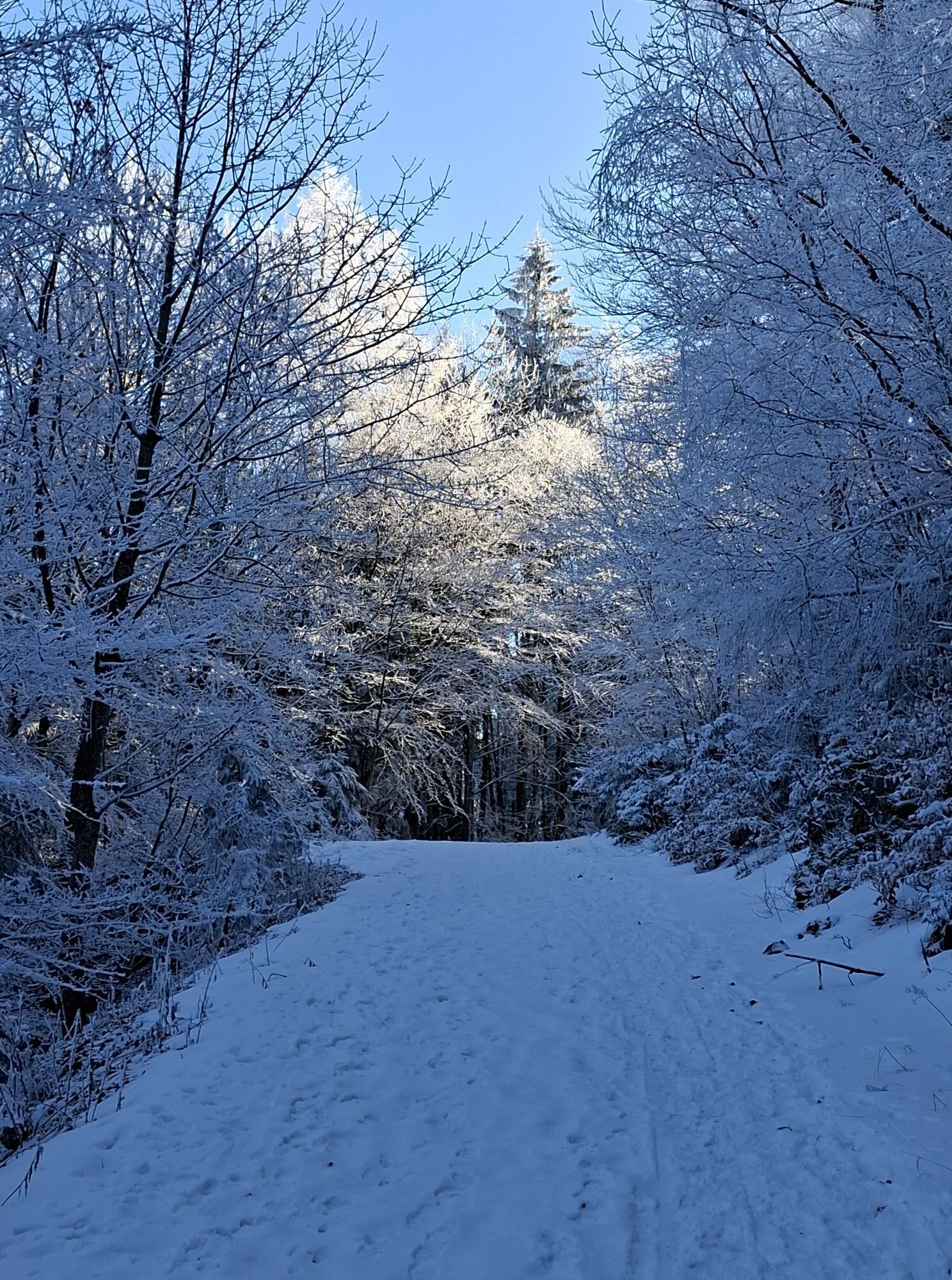
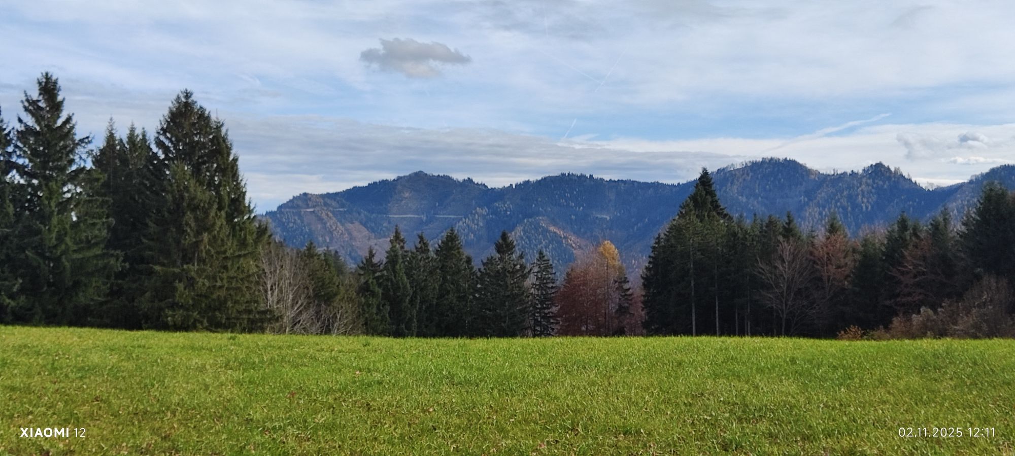
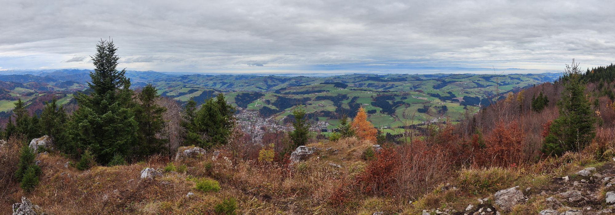
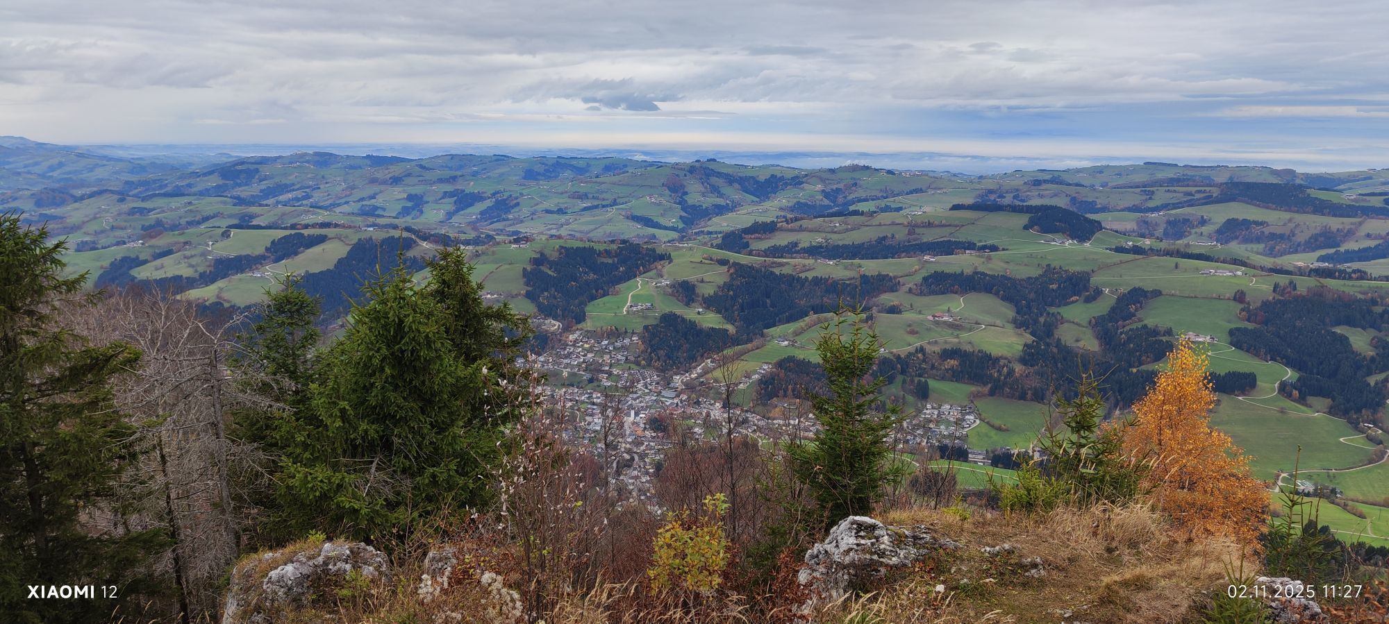
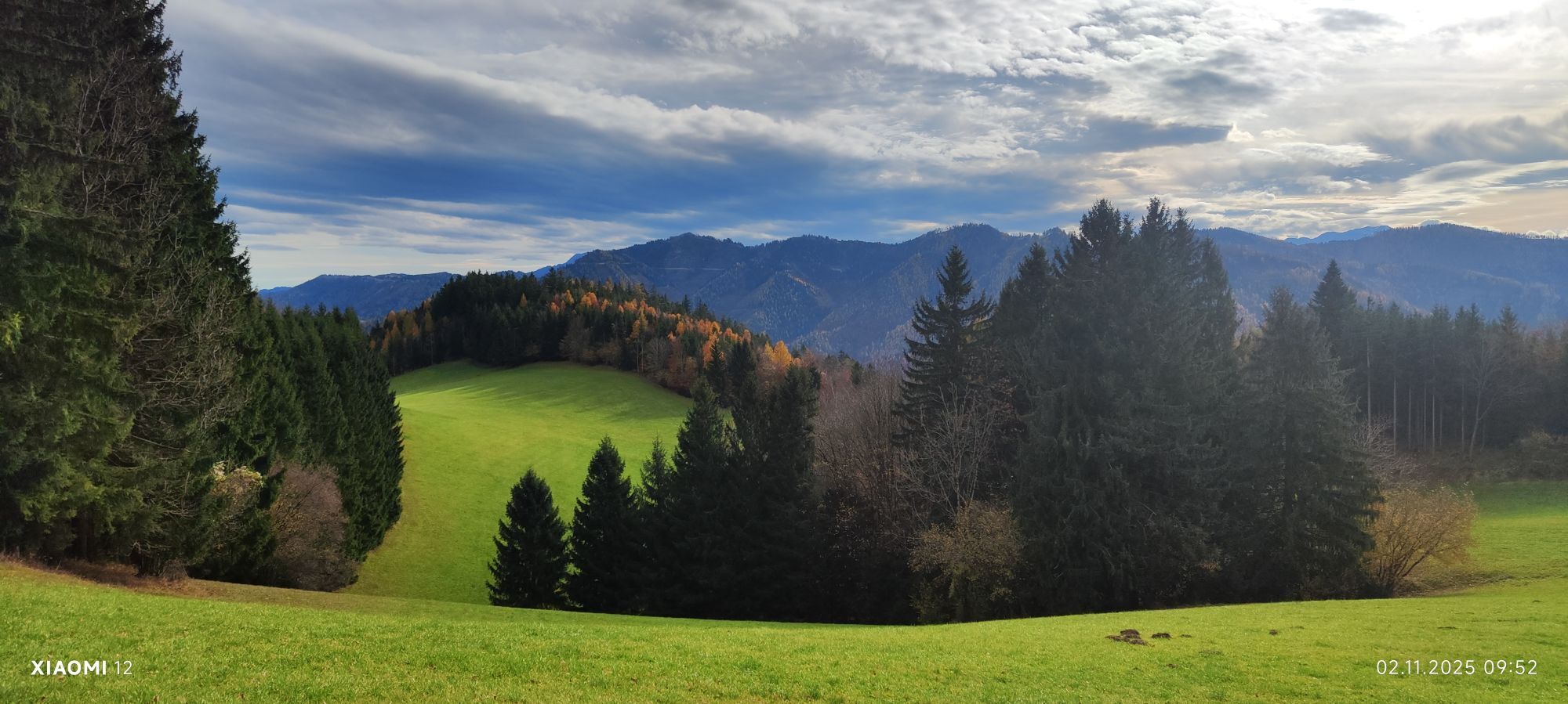
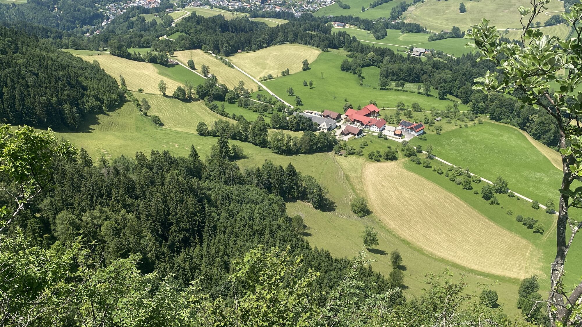
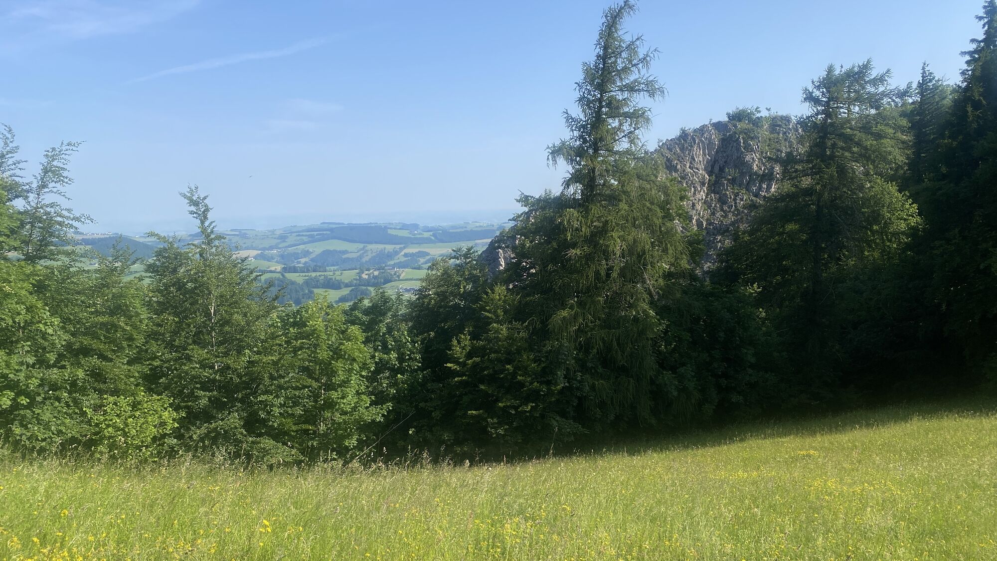
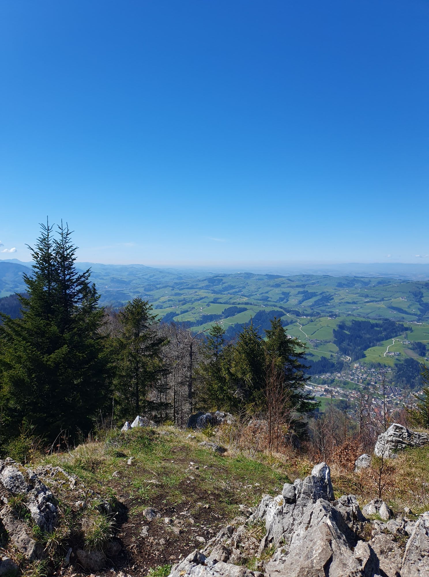
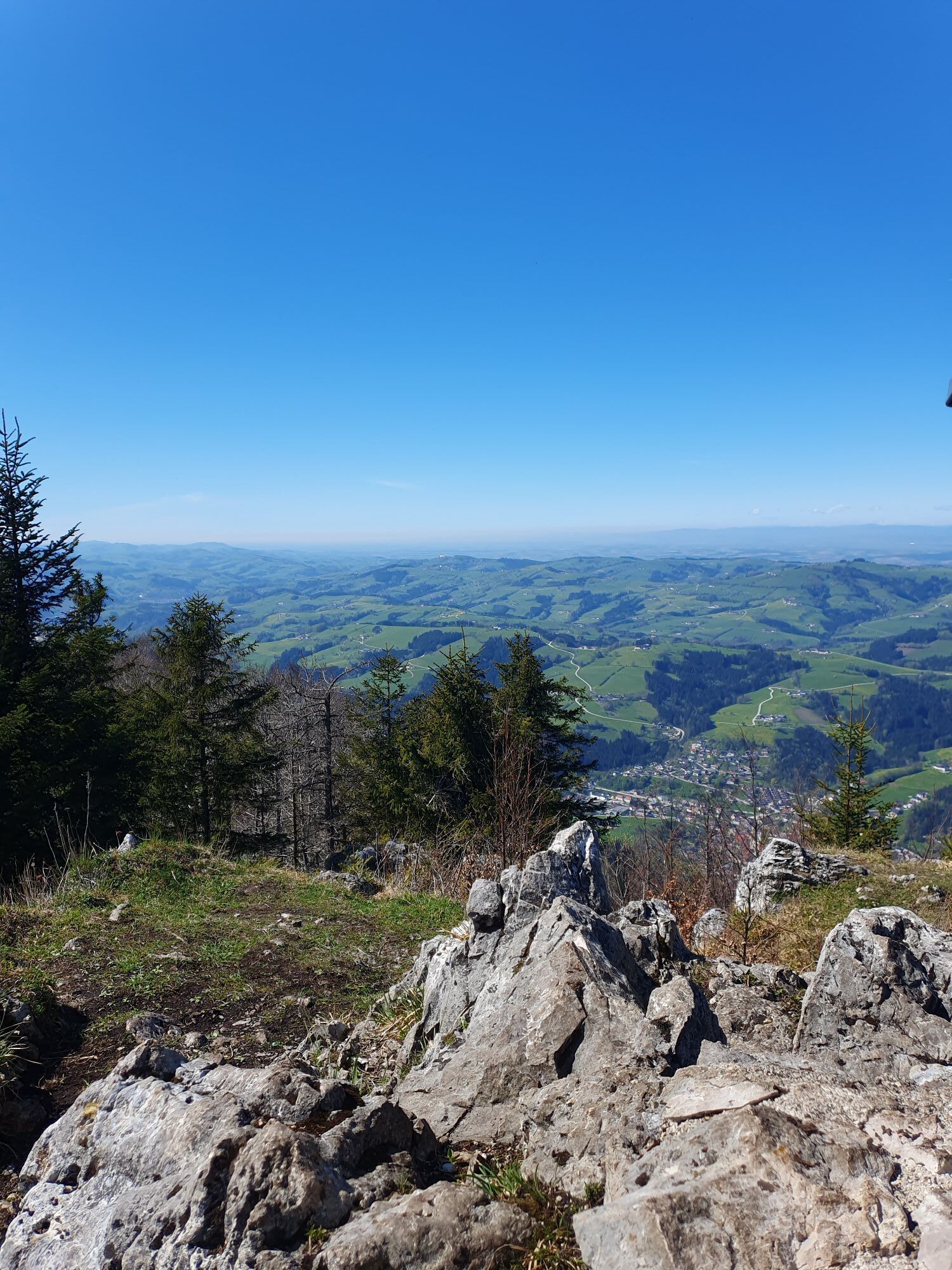
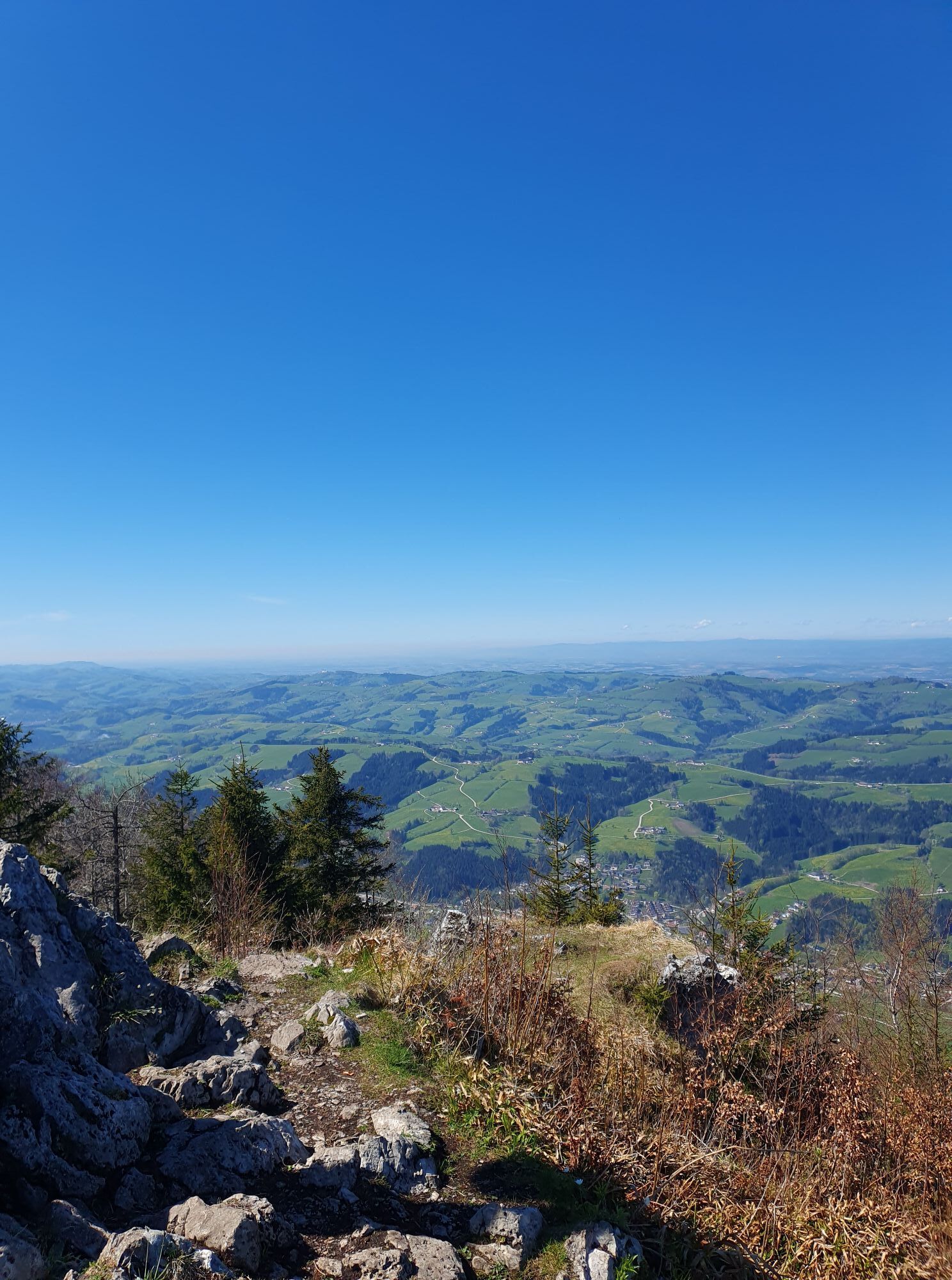
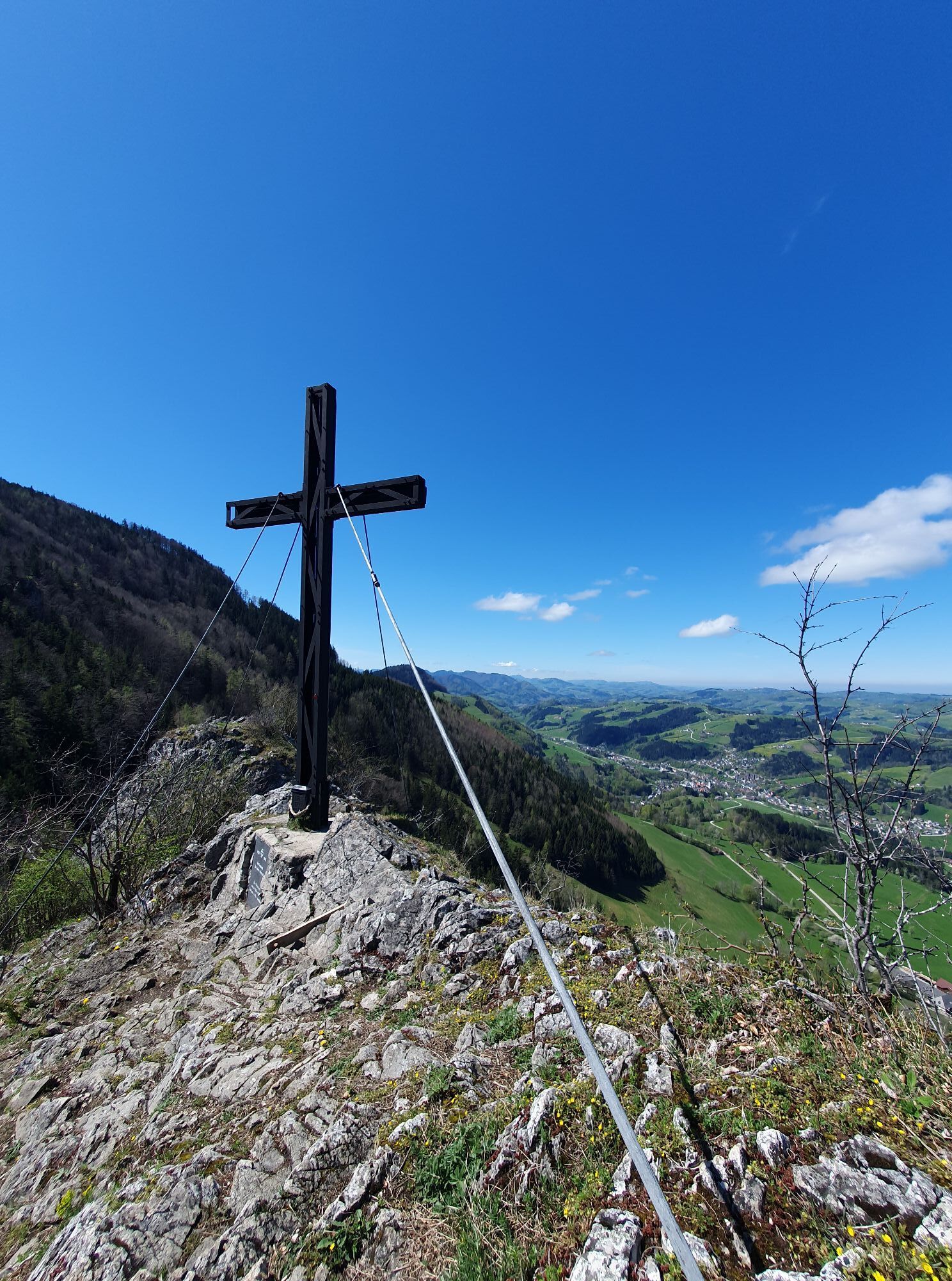
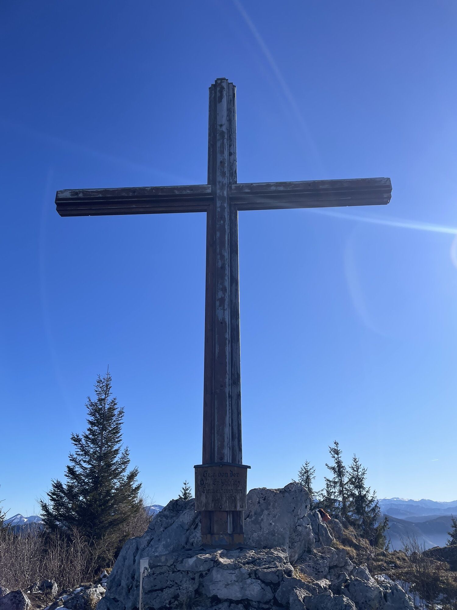
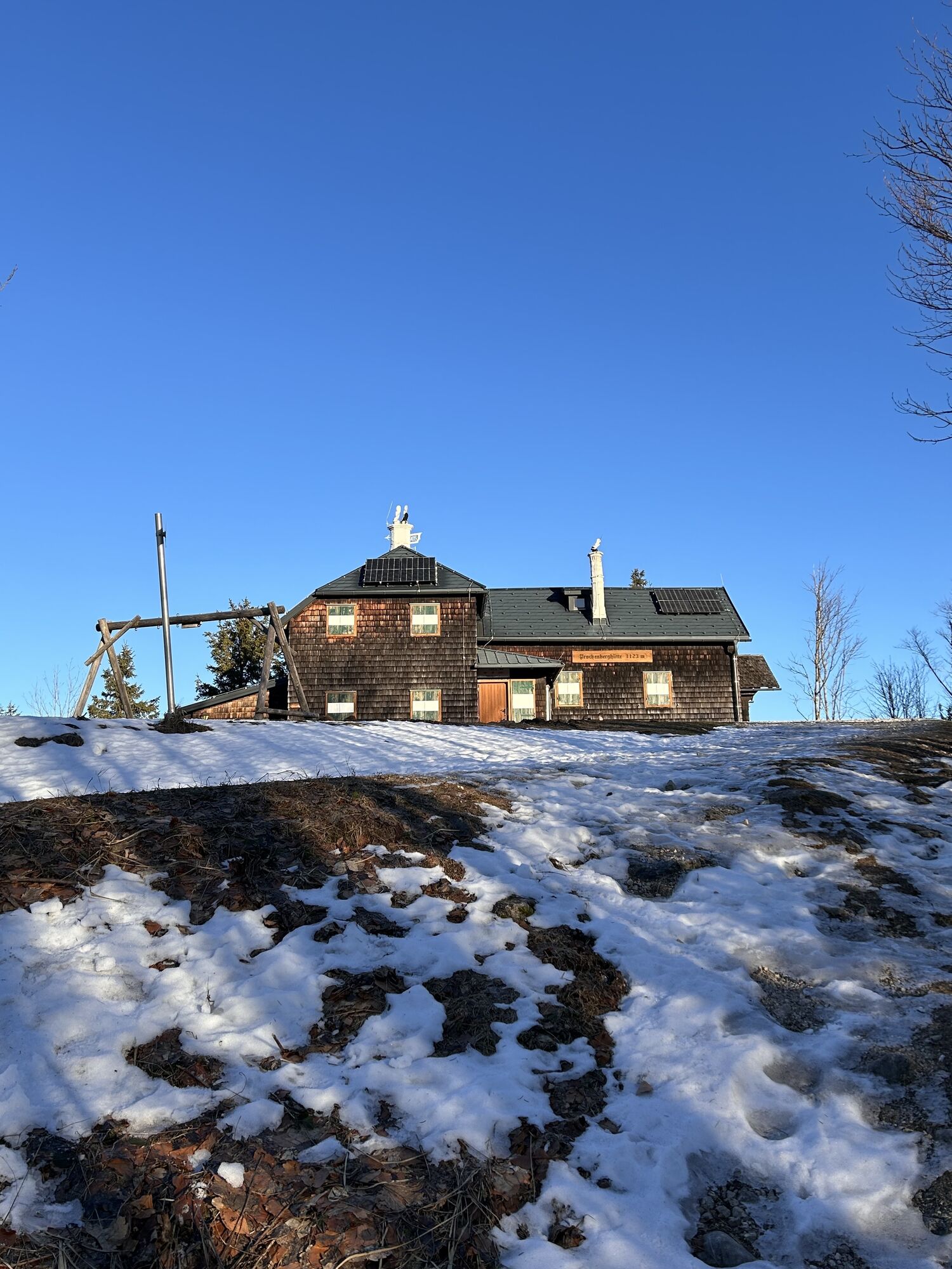
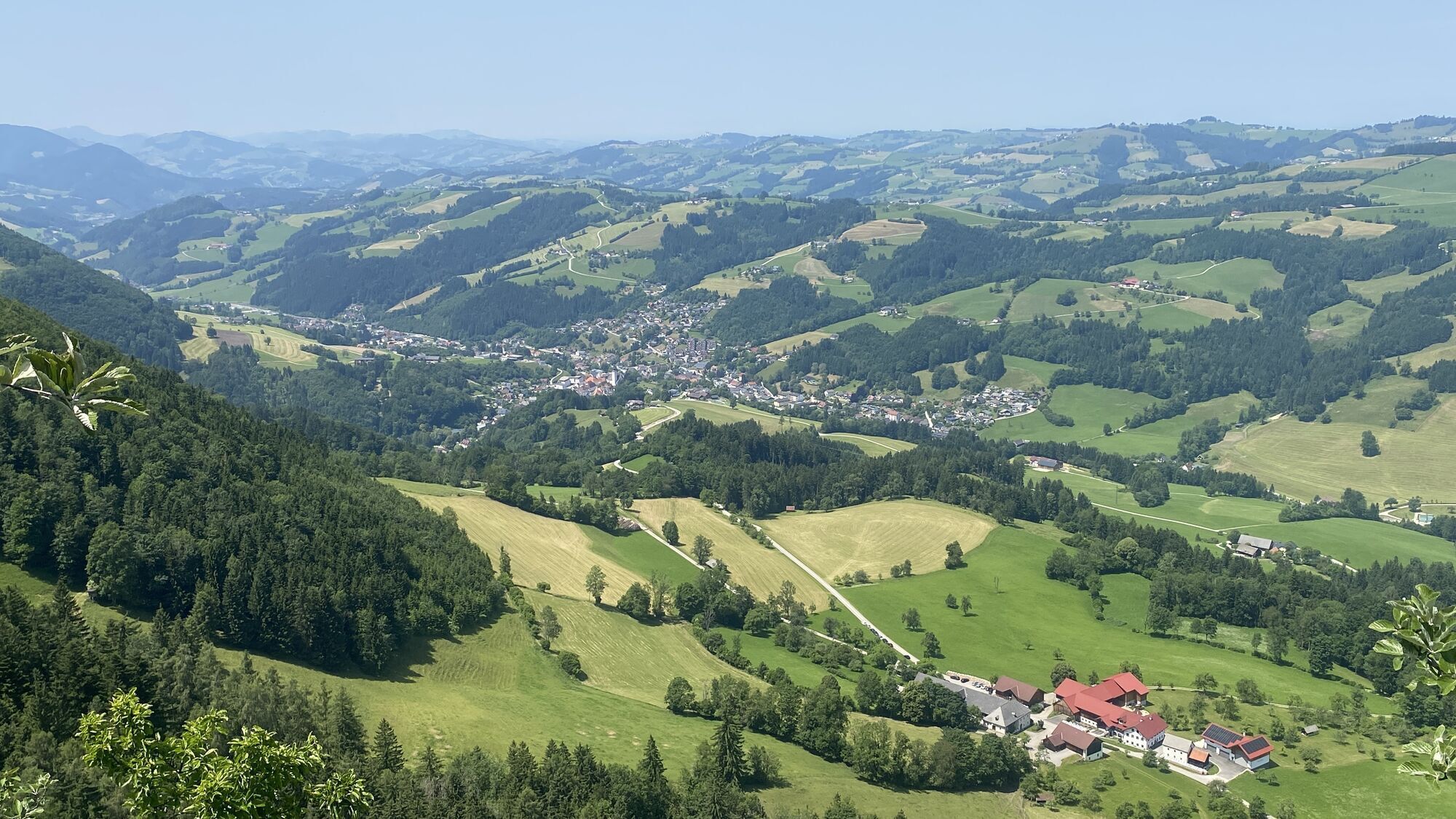
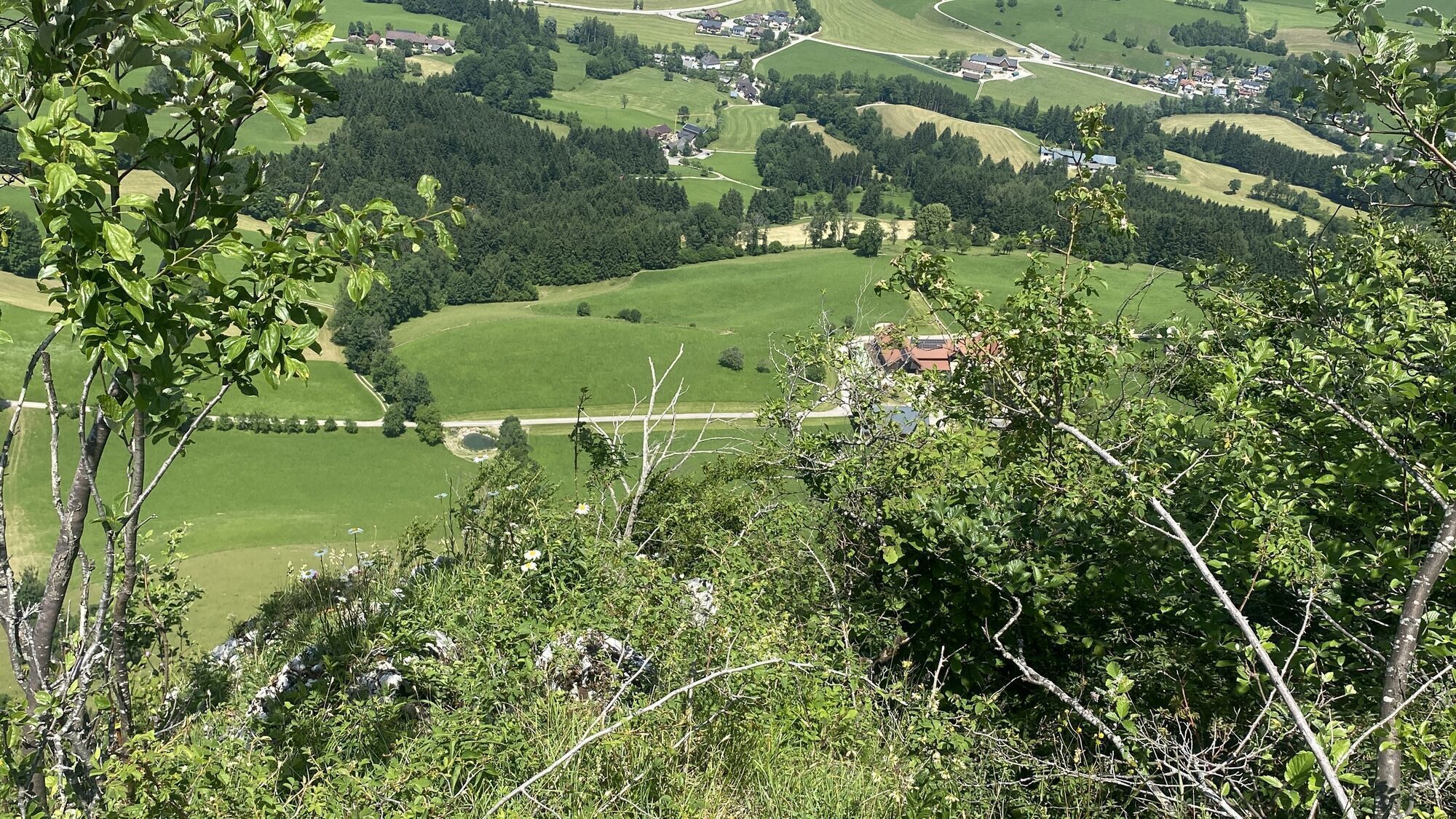
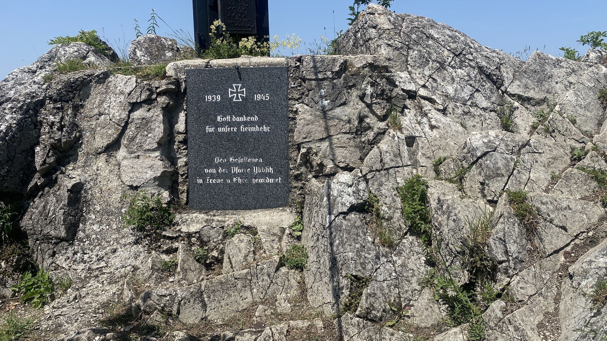
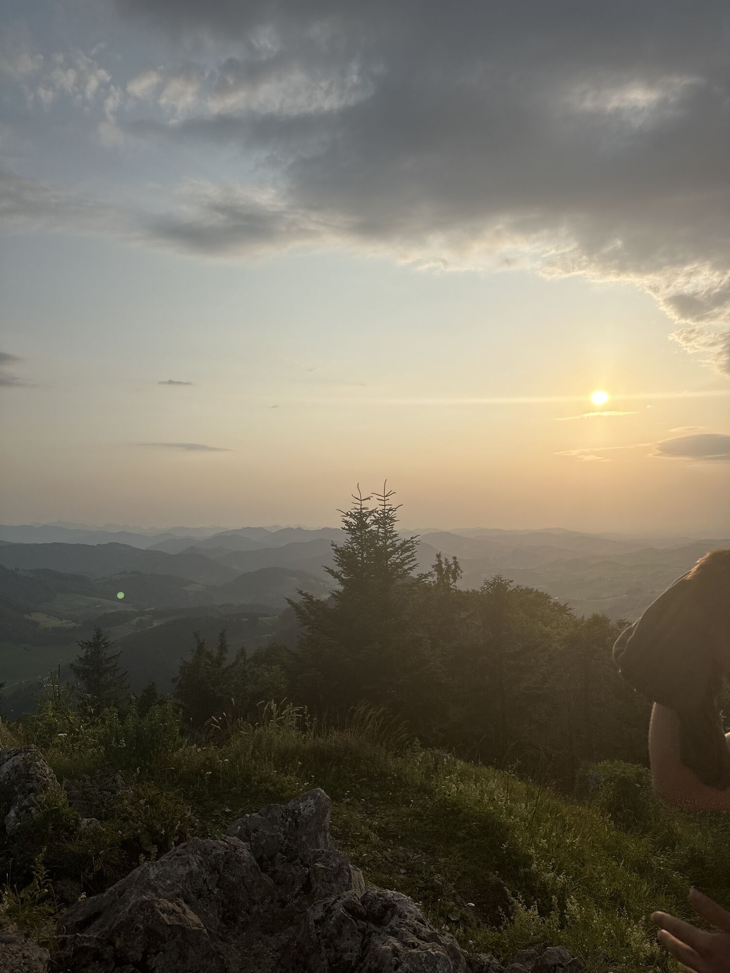
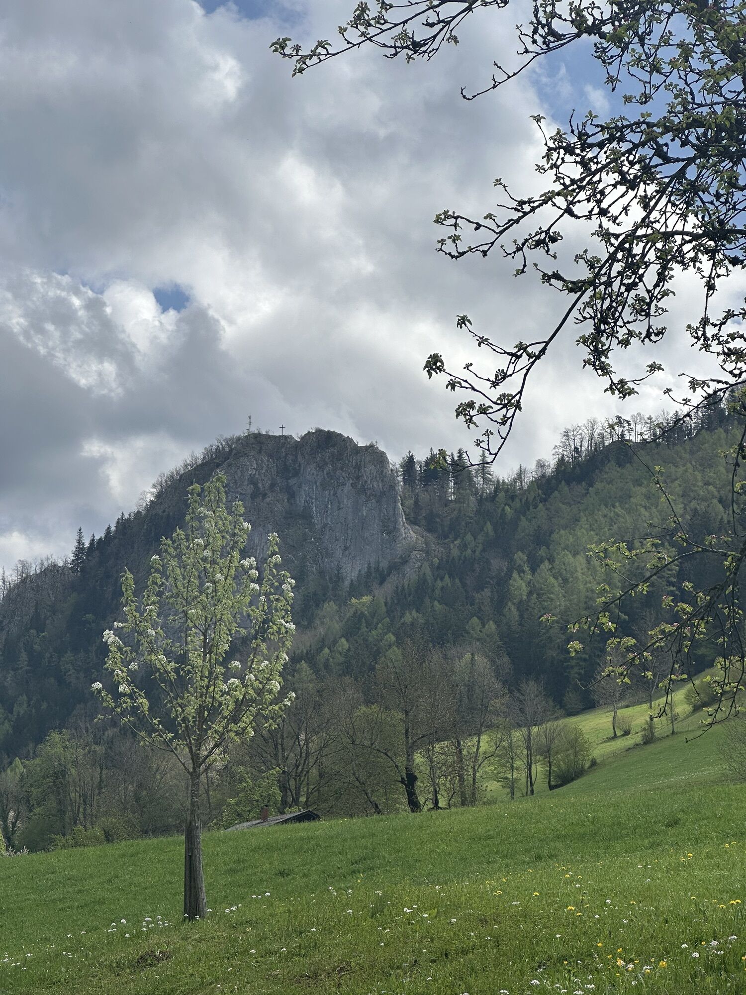
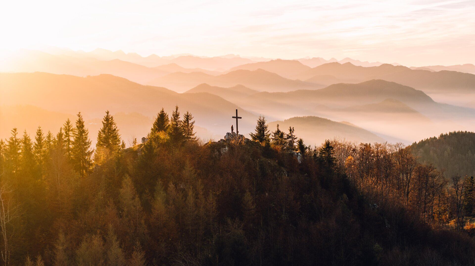
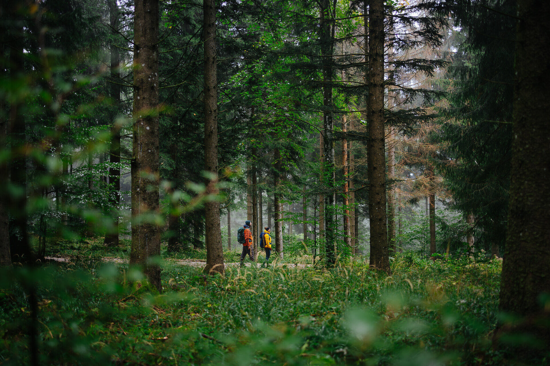
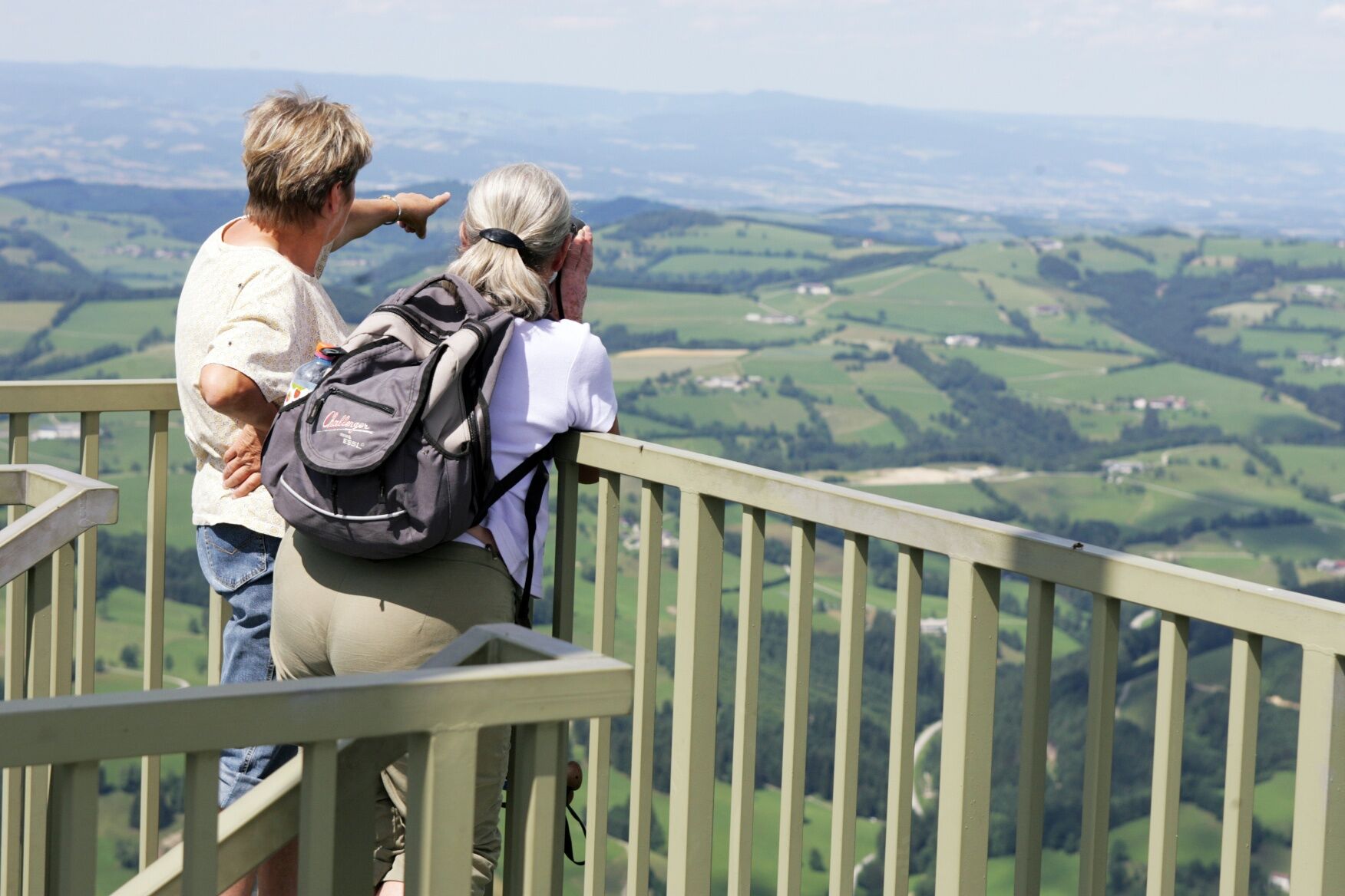
From the pearl of the small Ybbs Valley, the forging center of Ybbsitz, the trail first climbs somewhat steeper on the asphalt road to the Haselstein farm, where the hiking trail begins. It goes nicely through the forest, alternately steeper and flatter, crossing the forest road in places, very quiet and with great views towards the foothills of the Alps. Once you reach a meadow, you pass the Haselstein wall. Tip: A short detour and a fantastic view of Ybbsitz and the surrounding hills of the Alpine foothills can be enjoyed at the Haselsteinmauer. There is also a forged homecoming cross. ATTENTION: However, surefootedness and a head for heights are essential here! Past the Haselsteinmauer (or back again from the detour), the trail continues steeply uphill along the meadow section, where a new view towards the peaks of the Ybbs Valley opens up. Diving into the forest, you cross the forest road again and again and after around 2 hours you reach the Prochenberghut at 1,123 m above sea level, the oldest Alpine Club hut in Lower Austria (note: check the hut's opening hours!). After some refreshments, we recommend climbing the steps to the viewing platform right next to it. From there you can see the higher peaks of the Ybbstal as far as Styria, the gentle hills as far as the Moststraße and, in suitable weather, the wide expanses as far as the Danube - a 360° view of a particularly multifaceted kind. Back at the bottom, the route continues past the hut to the summit cross of the Prochenberg, the Kreuzkogel. The descent then takes place via the west side of the Prochenberg, partly on forest roads at the beginning, then further along hiking trails, mostly steeply downhill in the picturesque mixed forest to the Mitterlehen farmhouse - in between you will always have fantastic views of the Ybbstal landscape. From Mitterlehen, follow the asphalt road to the provincial road 98 in the direction of Prollingtal. The last few kilometers then lead along the Schmiedemeile back to the village center - the trail shows its special side here once again: from the wide views on the Prochenberg, the trail now leads downhill to waterfalls. Part of the trail here is the impressive adventure bridge, a 25-metre metal arch bridge created by local blacksmiths that spans the Prollingbach waterfall. Along the waterfall trail, you pass blacksmiths. After a short ascent to the goldfish pond, the route leads back through Dr. Meyer Park, following the blacksmith's mile to the "Schwarzes Haus", where the path leads back to the town center and the starting point.

Ascent – Marking No. 33/34 – pass the parish church Ybbsitz on the left, upwards on Prochenbergstraße to the farms Groß- and Klein-Haselstein – 1 hr.
From here on a path below the Haselstein wall up to the Heimkehrerkreuz at Haselstein, continue over the Model meadow upwards and through the Stiftswald to the Prochenberghütte. Beautiful view from Kreuzkogel, 5 min from the hut.
Descent – Marking No. 34/06 – via Mitterlehen, Bauernschrotmühle, through the Noth, back to Ybbsitz – 2 hrs.
The Prochenberghütte is open from May 1 to October 26 on Sundays and holidays (July, Aug. and Sept. also on Saturdays).
Make sure to have sufficient provisions and appropriate equipment depending on weather conditions!
This route is shared in the first section up to the Haselstein farm and later in the area of the forest road by hikers and cyclists. Please treat each other with consideration and respect.
Thank you for your fair cooperation!
A1 exit Öd - direction B 1 - turn left towards Waidhofen/Ybbs and follow signs to Waidhofen (B 121) - then follow signs to Ybbsitz (B 31, then B 22) - Ybbsitz
Fahrplan beachten: www.anachb.vor.at
Haltestelle: Ybbsitz B22, Neue Straße
former station Ybbsitz
After the route, visit the Ferrum - World of Iron, in the center of Ybbsitz, an impressive exhibition on blacksmithing.
Spletne kamere s turneje


Priljubljeni izleti v okolici
-
4.3
Rund um den smaragdgrünen Lunzer See
svetlobaPohodništvo 4.80 km -
4.8
Panoramic summit Maiszinken - alpine experience included
srednjaPohodništvo 12.6 km -
4.7
Opponitz Gorge Hiking Trail
srednjaPohodništvo 4.42 km -
4.6
Lechner Graben - Ybbstaler Hütte
srednjaPohodništvo 14.2 km -
4.3
Prochenberg von Ybbsitz
svetlobaPohodništvo 6.29 km -
4.1
wanderung auf den alpl
srednjaPohodništvo 8.18 km -
4.4
Kappleralm Runde
svetlobaPohodništvo 6.65 km -
5.0
Prochenbergrunde
srednjaPohodništvo 5.96 km -
5.0
2-Tages Tour: Lunzer See - Dürrenstein - Ybbstalerhütte - Lunzer See (Tag 2/2)
srednjaPohodništvo 12.4 km -
3.7
GeBIERgsweg Gaming
svetlobaPohodništvo 6.51 km
Pohodništvo in sledenje


Ne zamudite ponudb in navdiha za naslednje počitnice
Vaš e-poštni naslov je bil dodan na poštni seznam.