







Annaberg - Tirolerkogel - Eibl - Türnitz
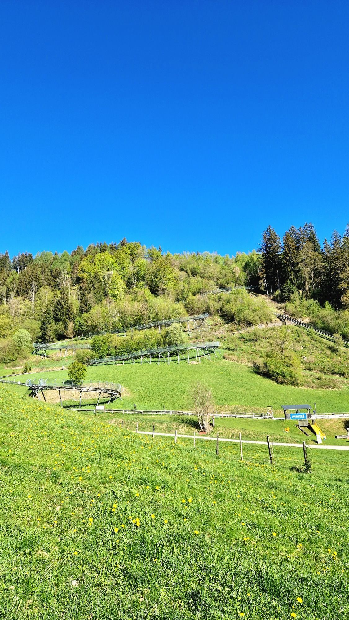
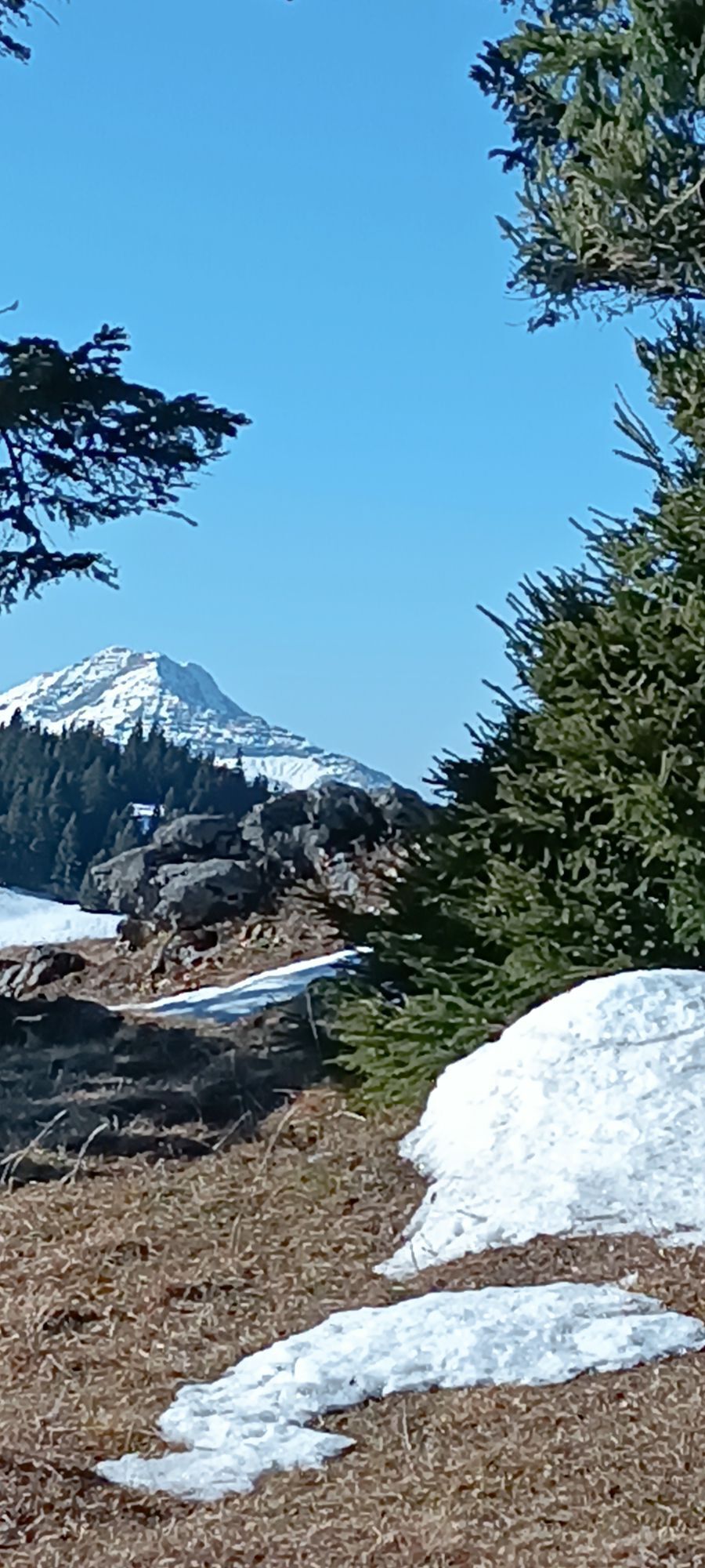
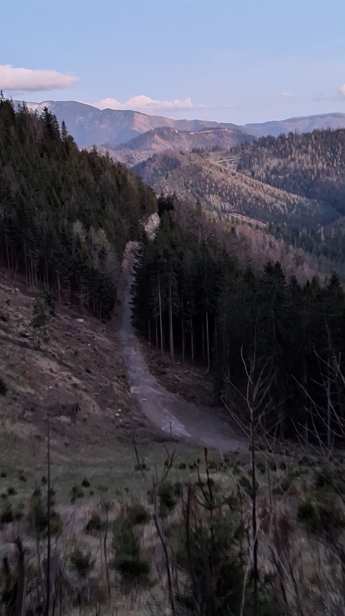
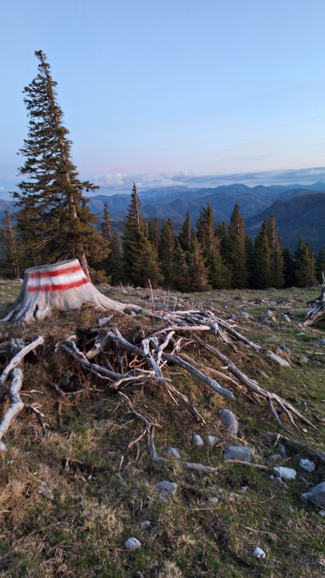
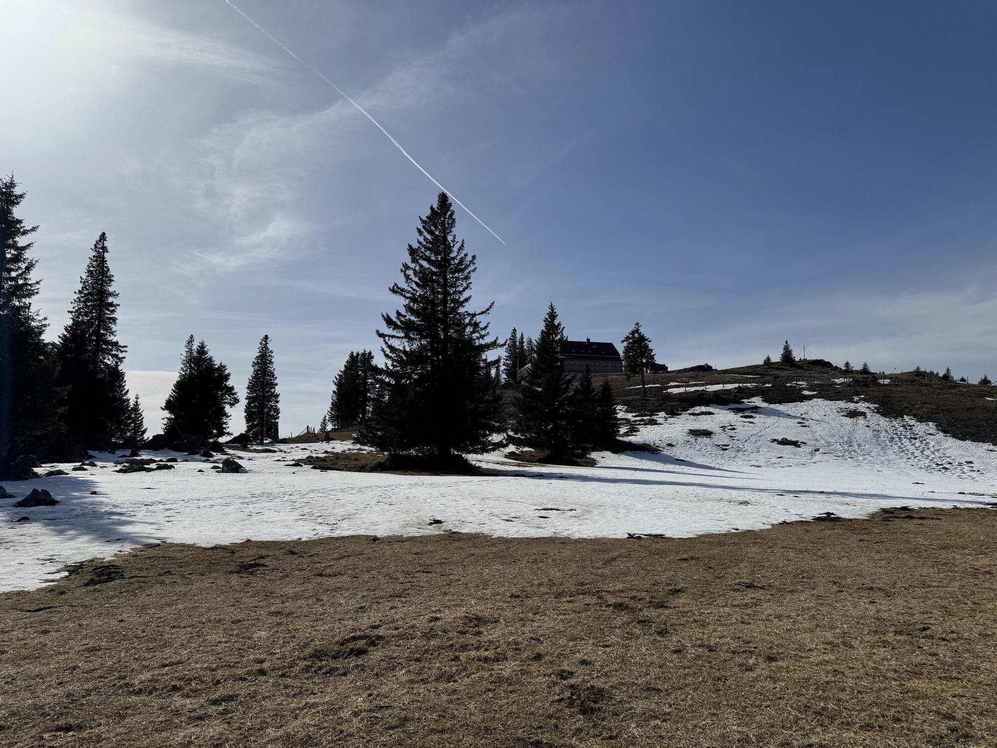
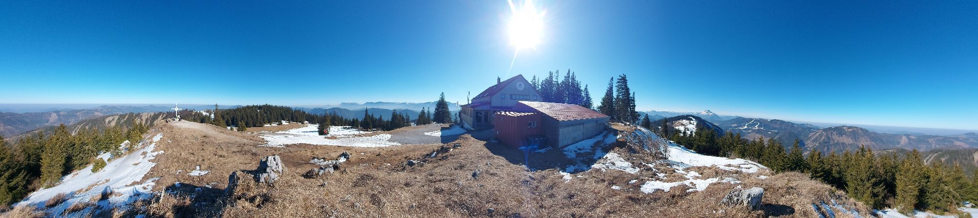
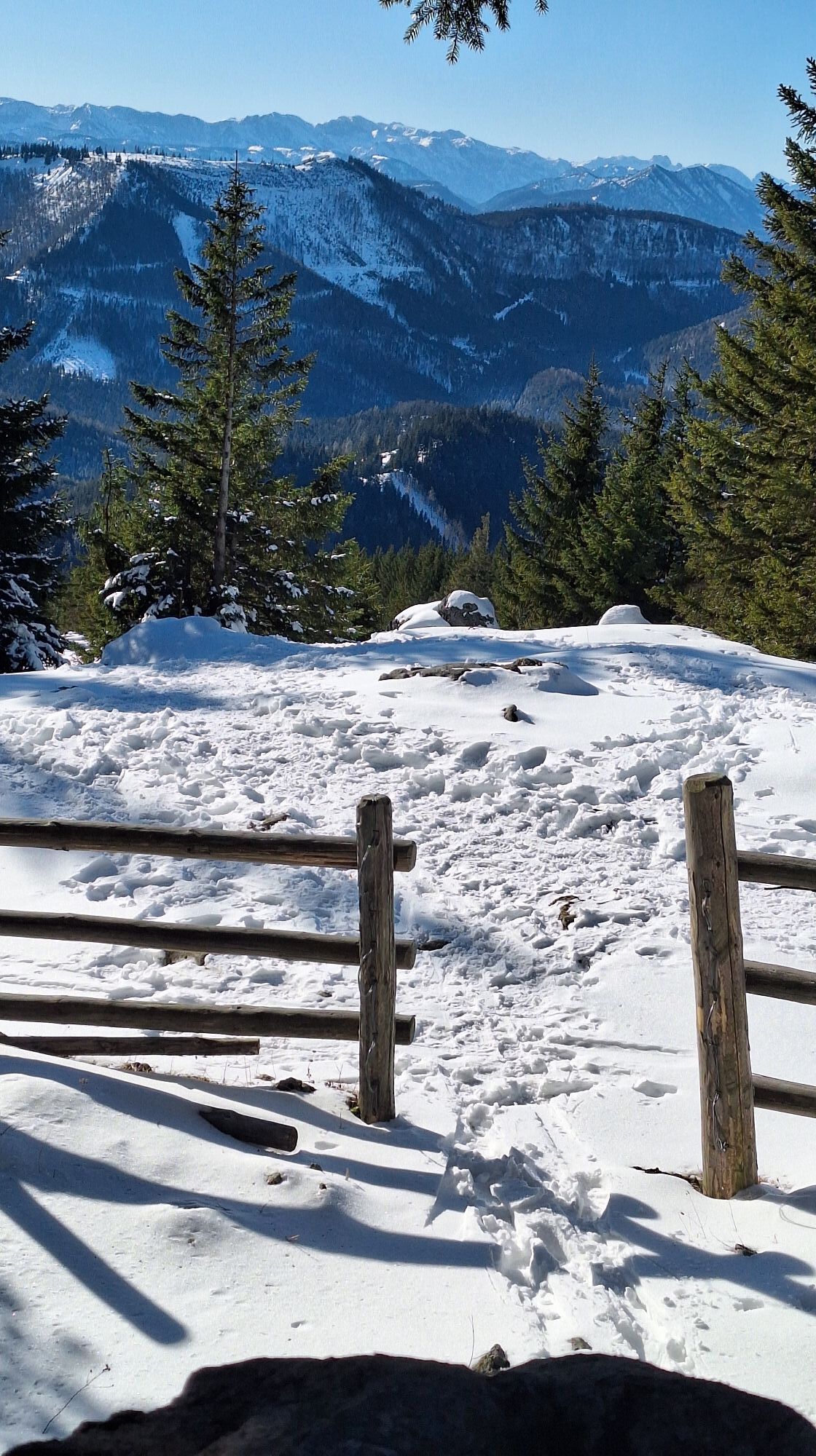
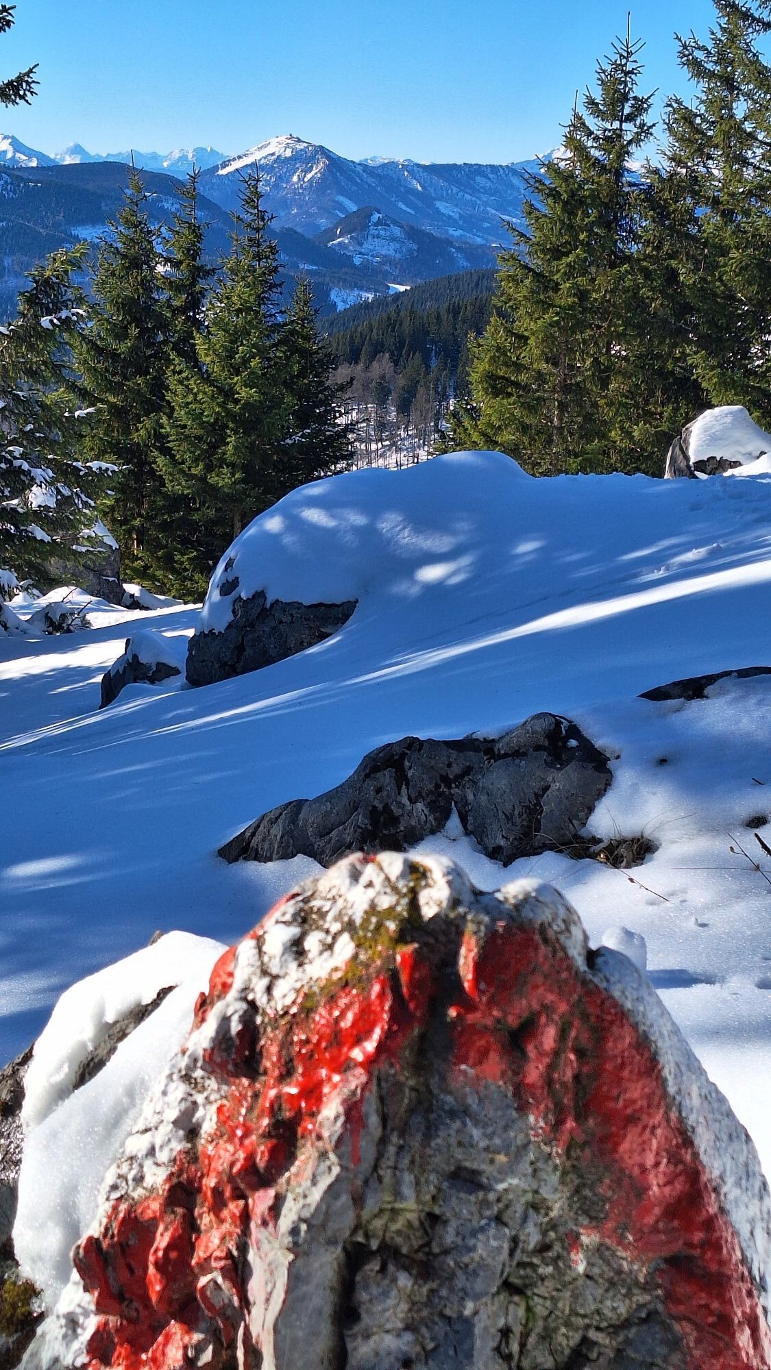
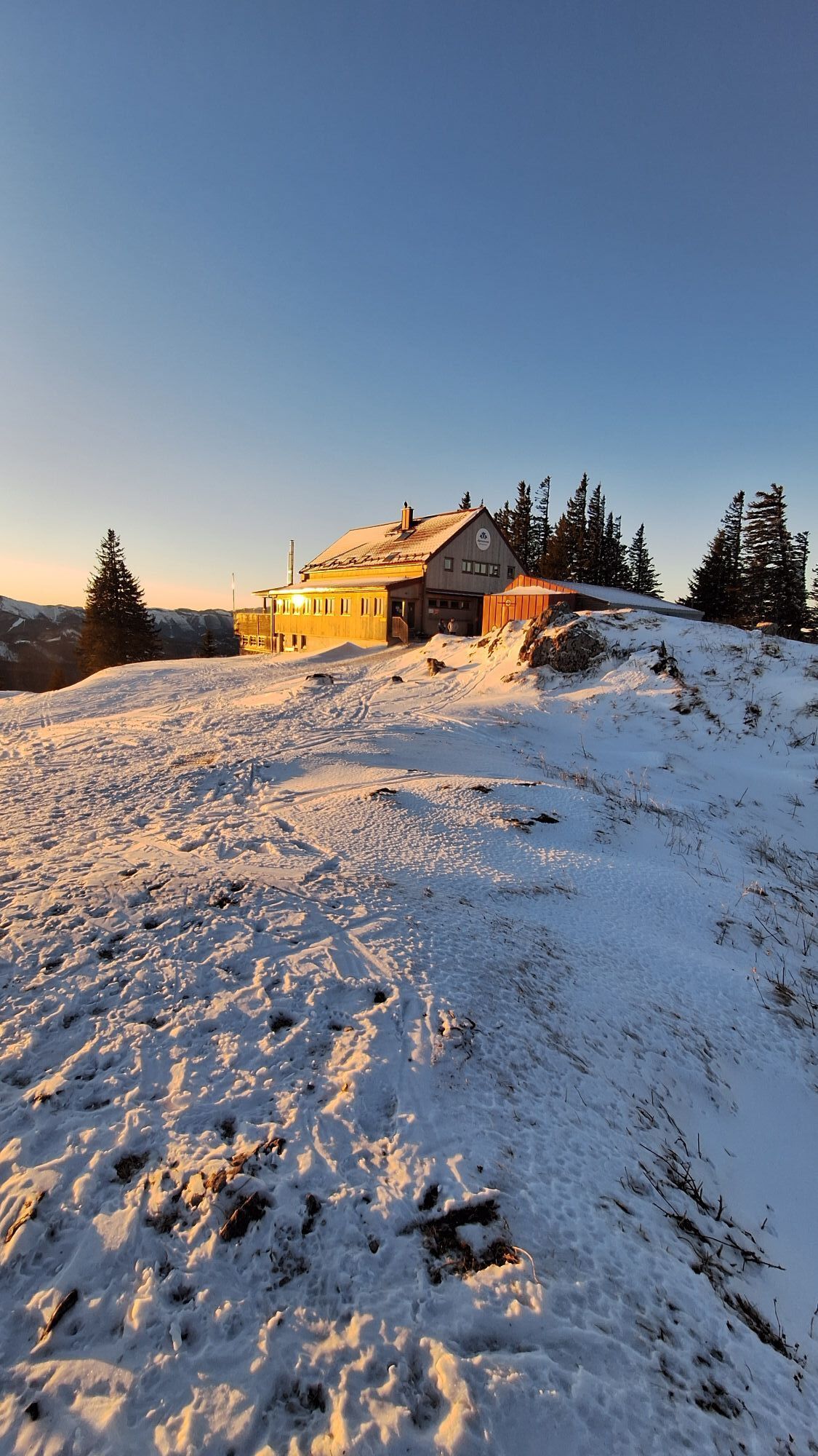
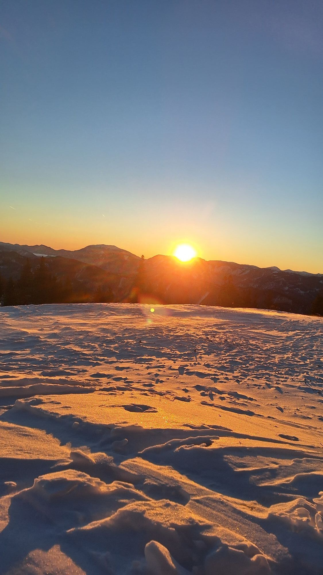
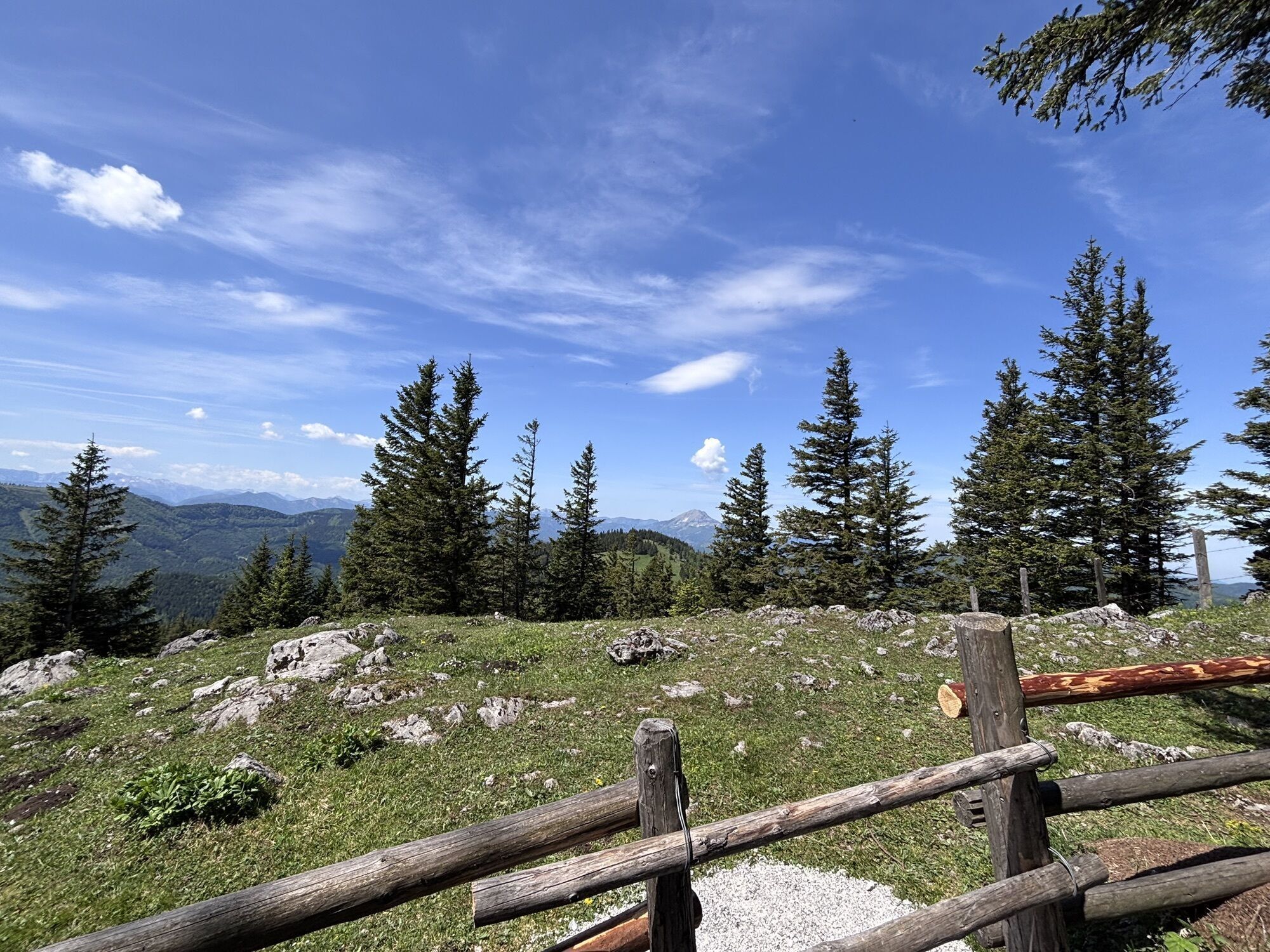
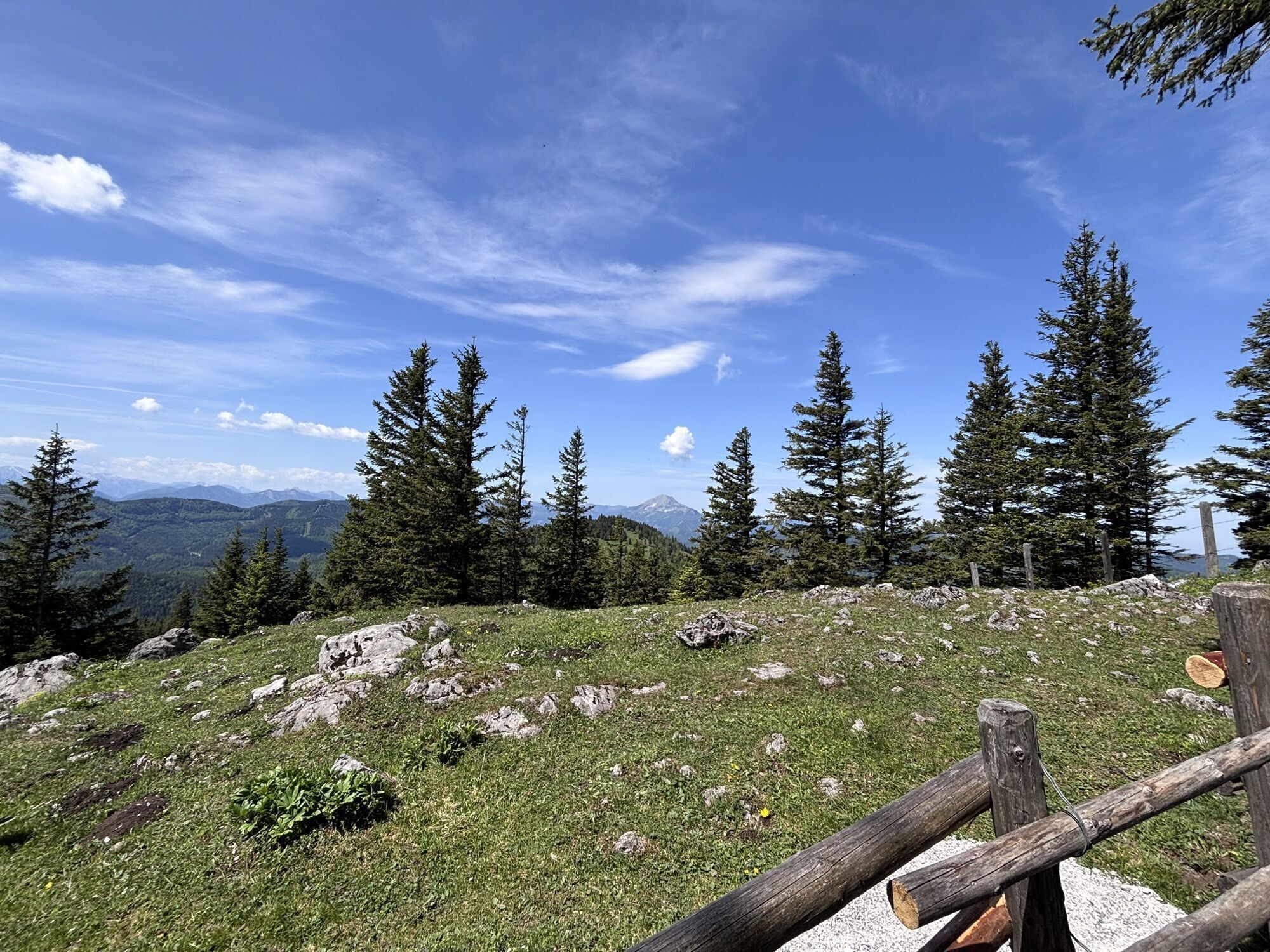
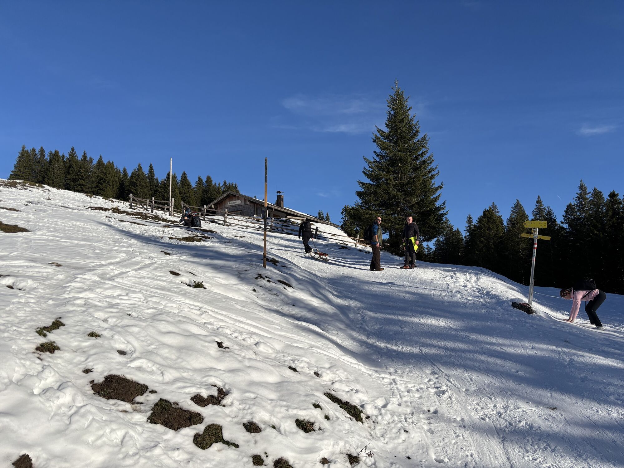
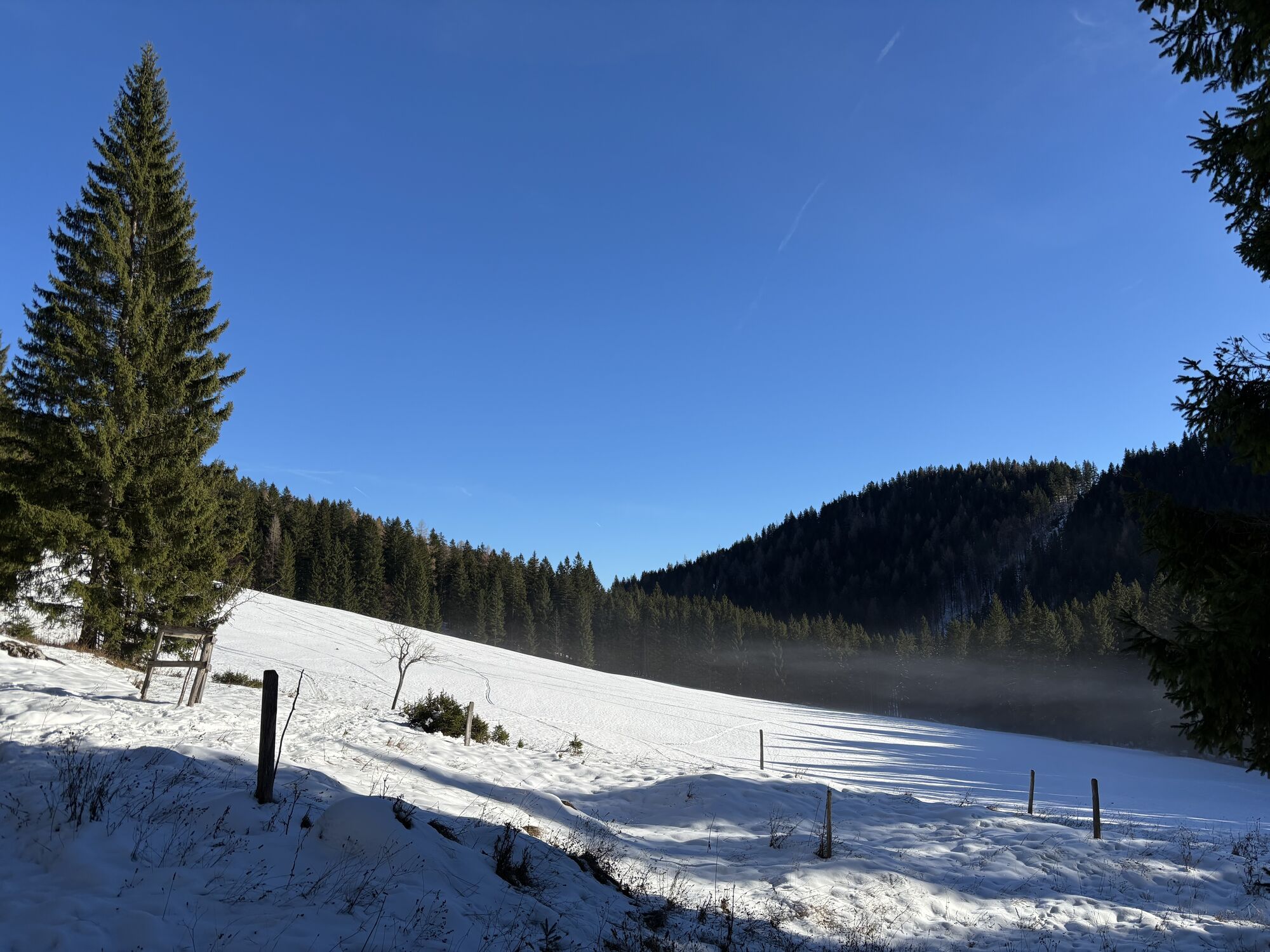
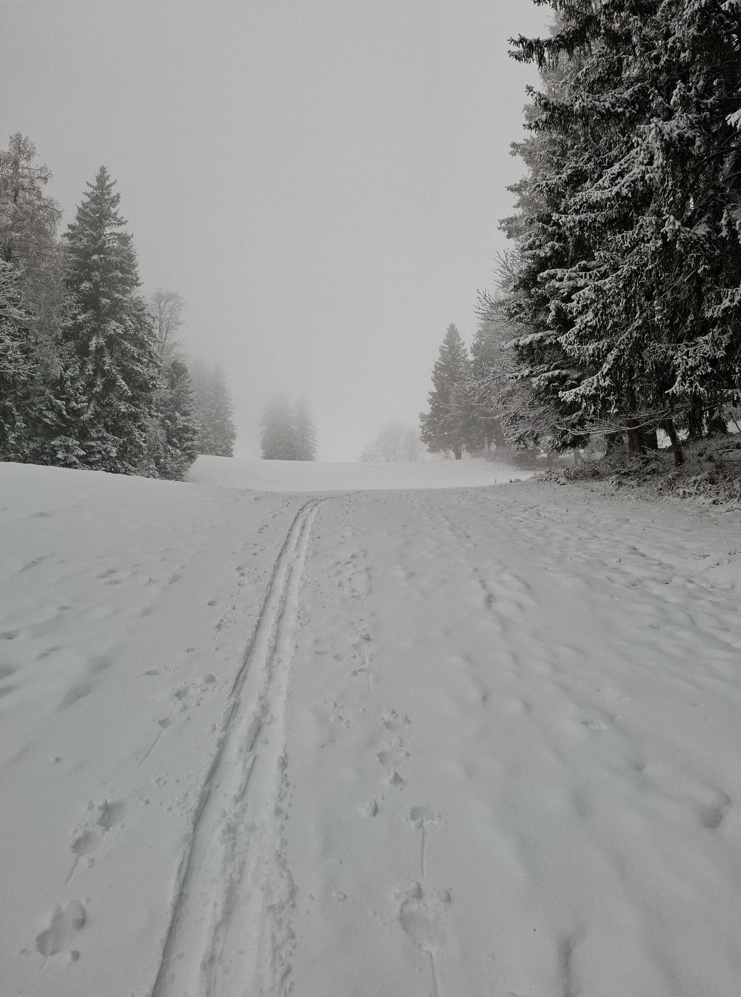
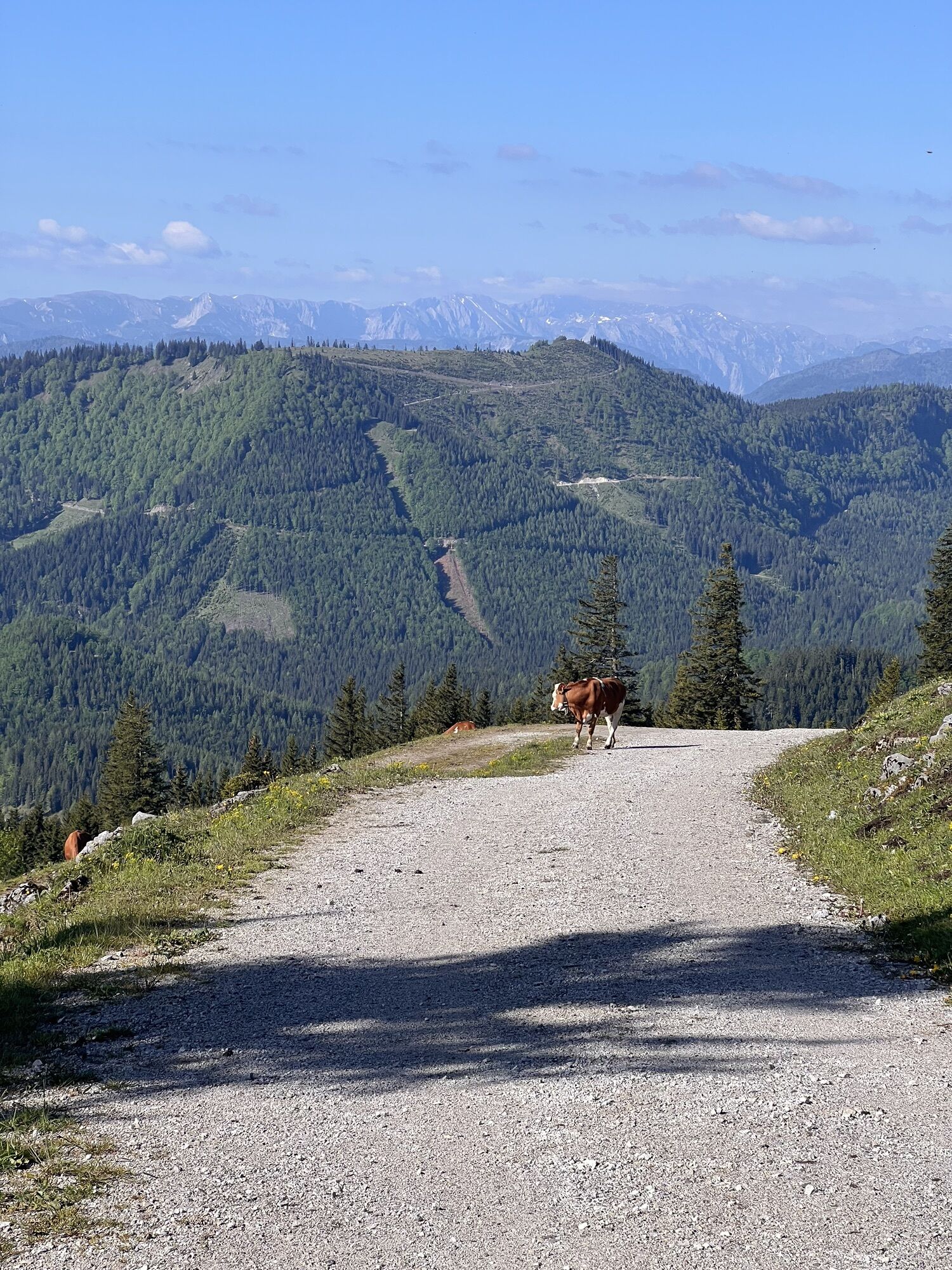
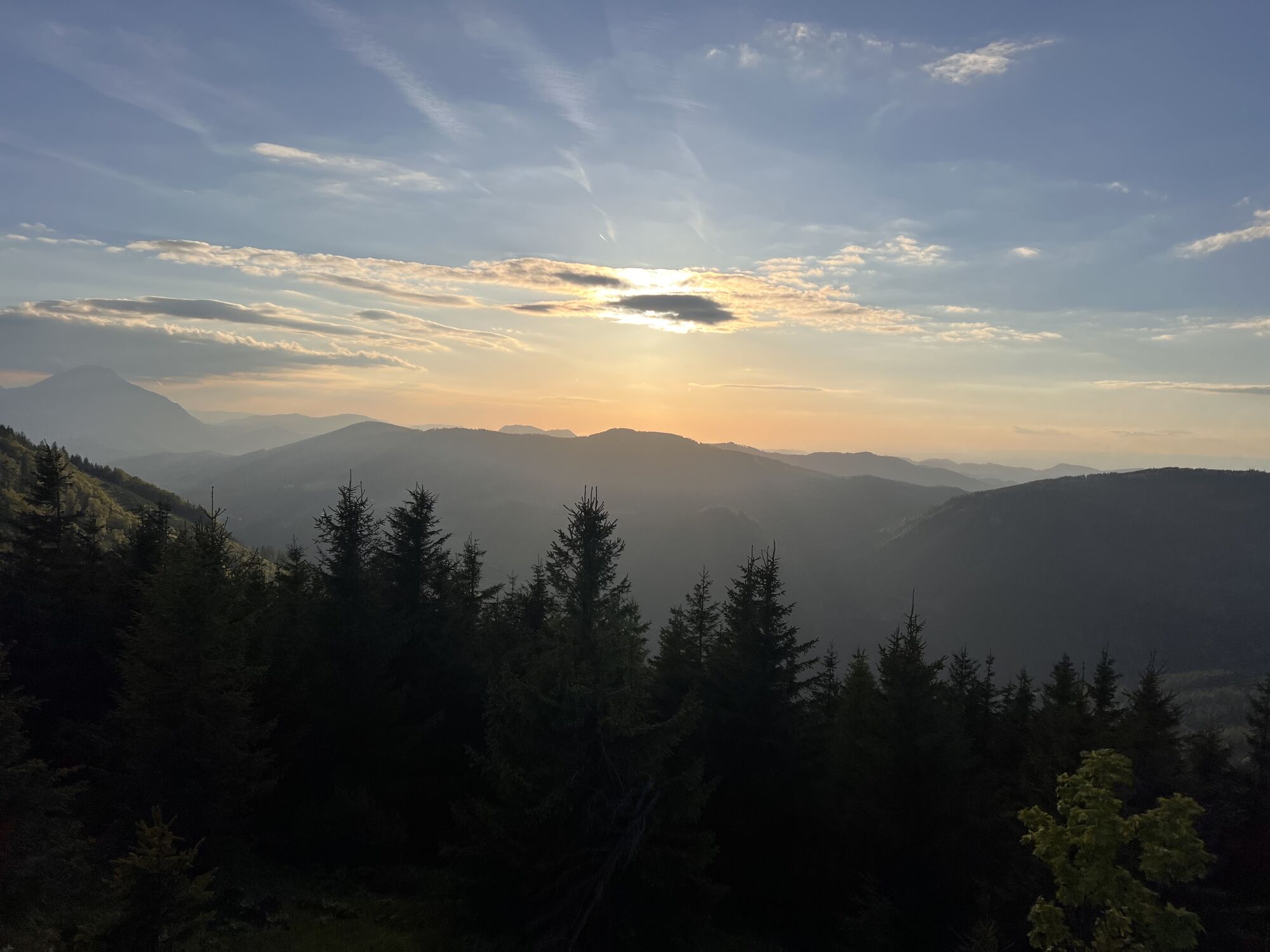
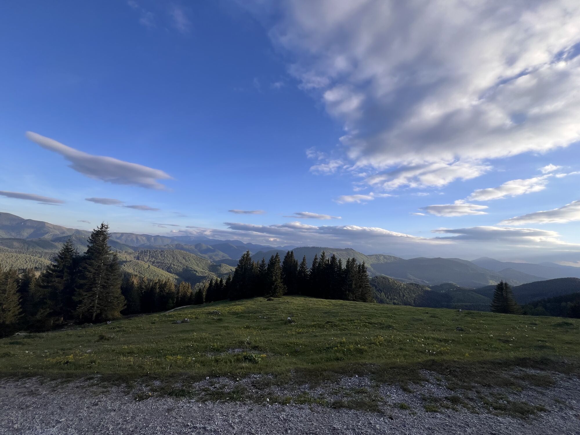
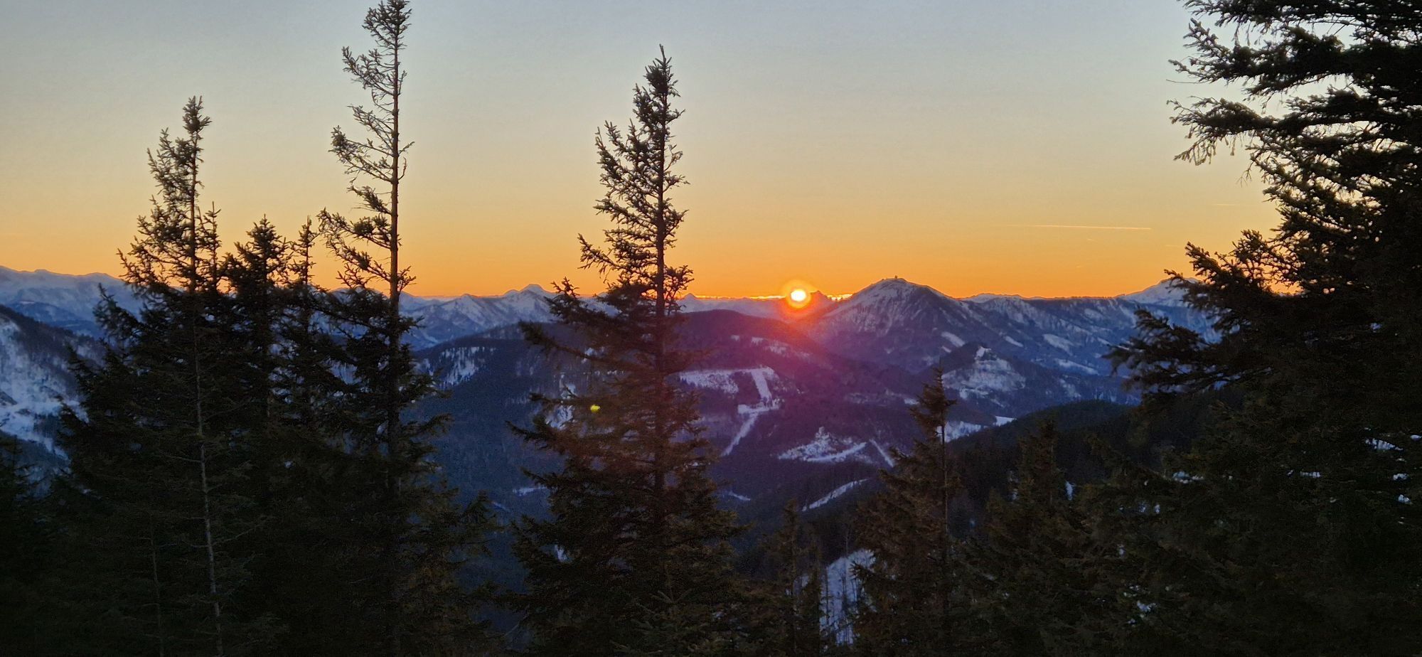
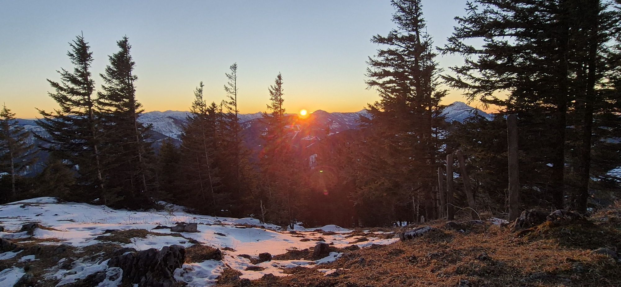
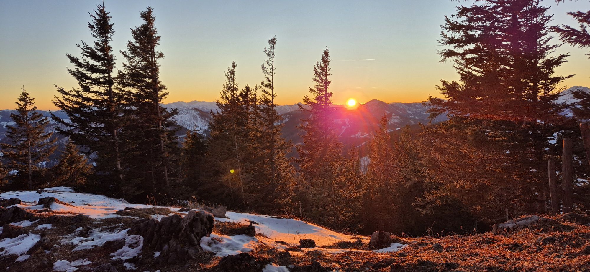
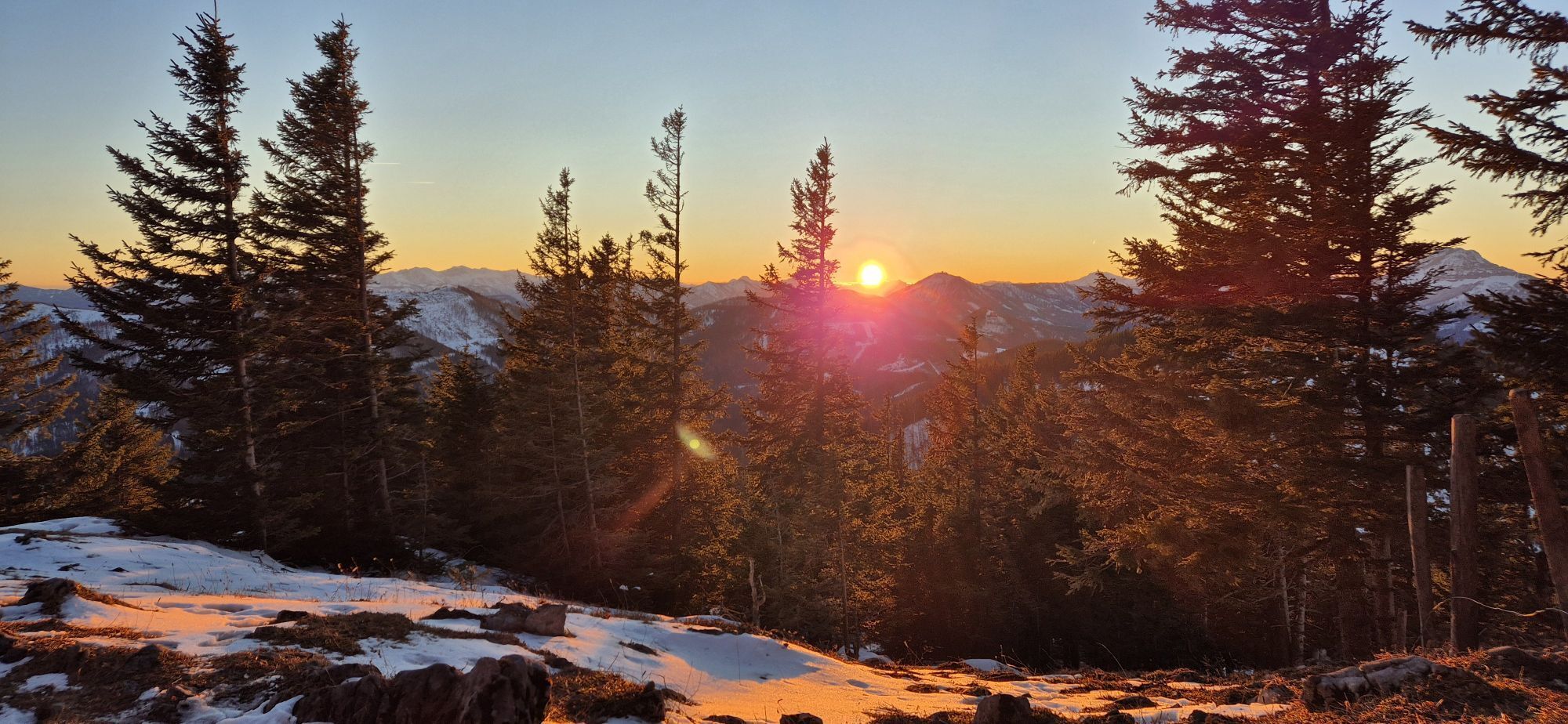
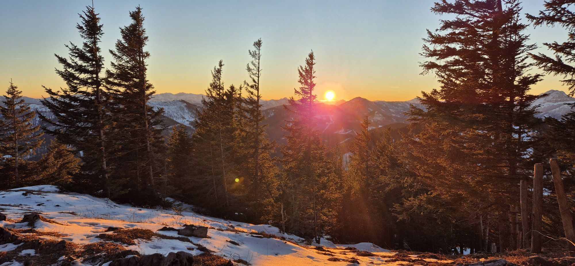
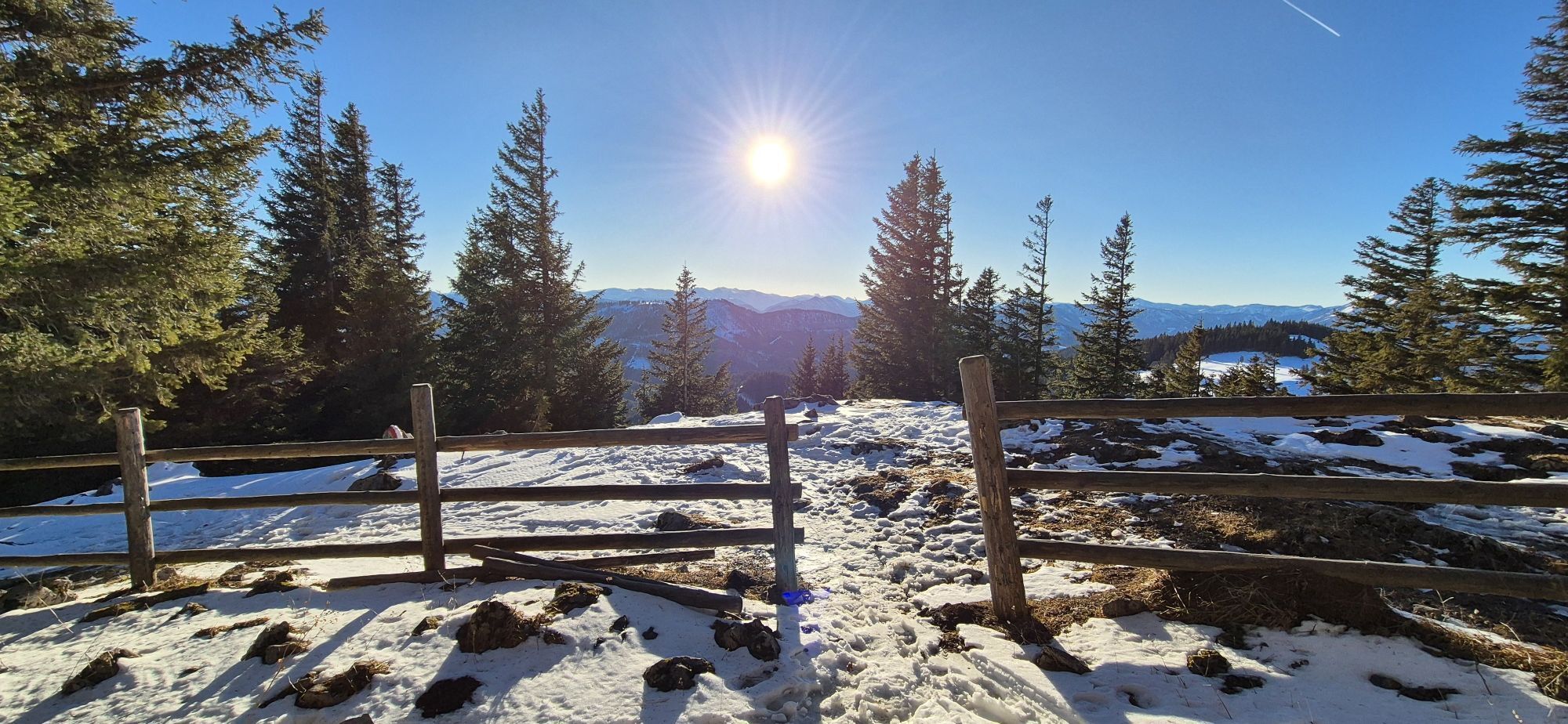
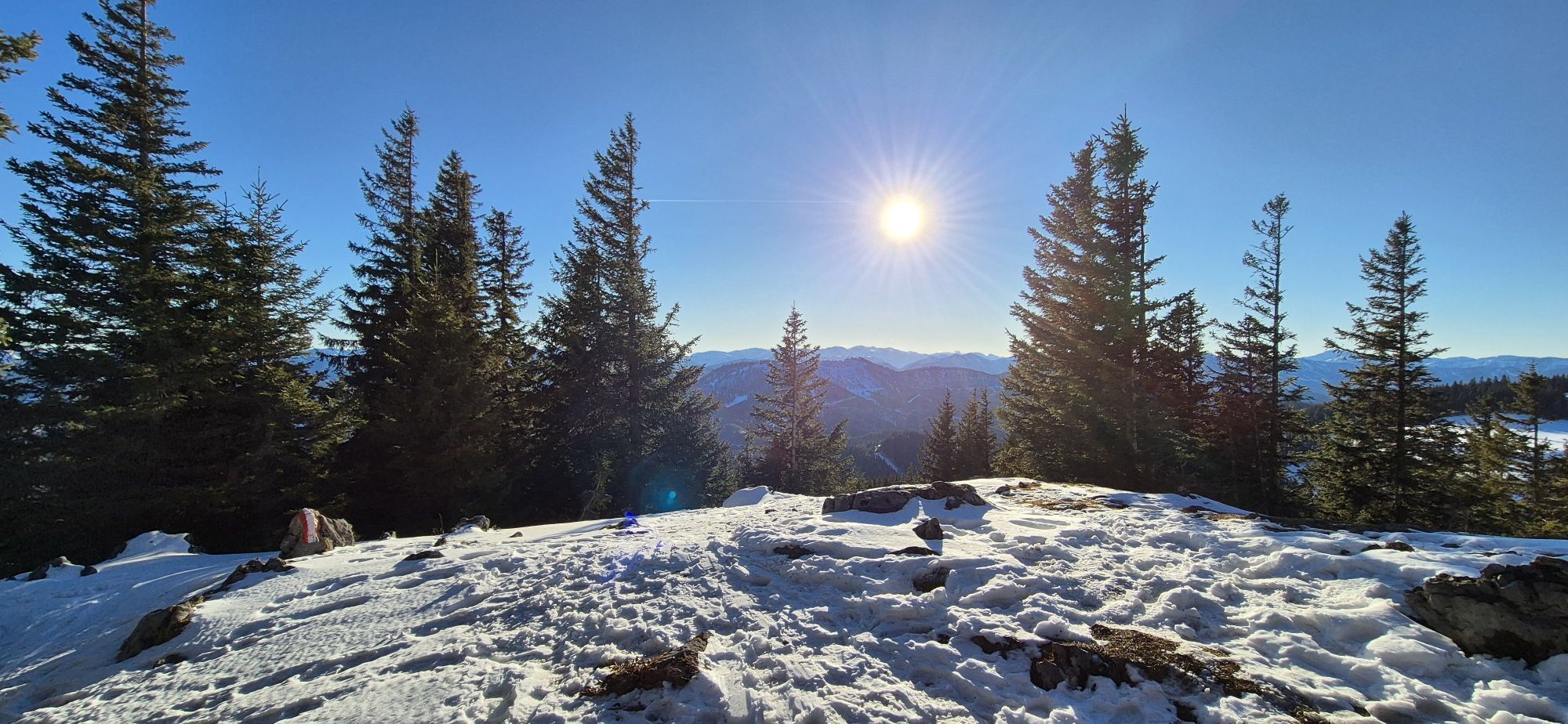
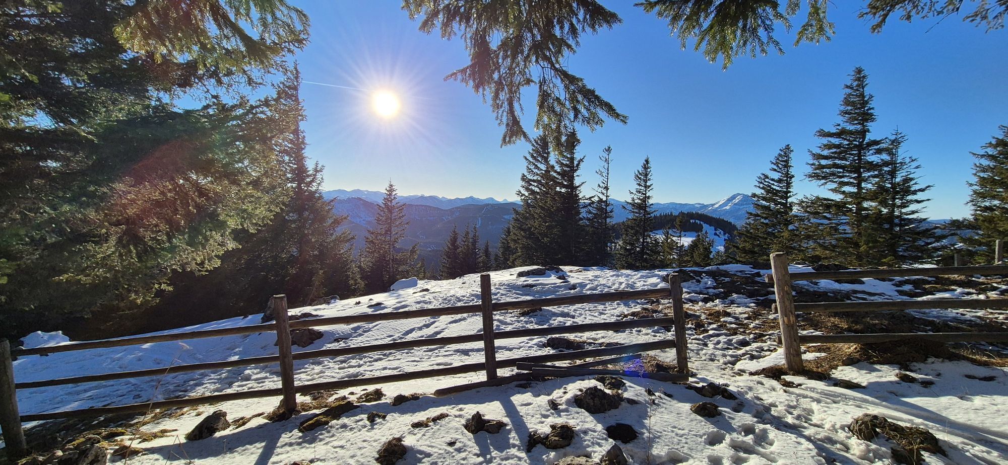
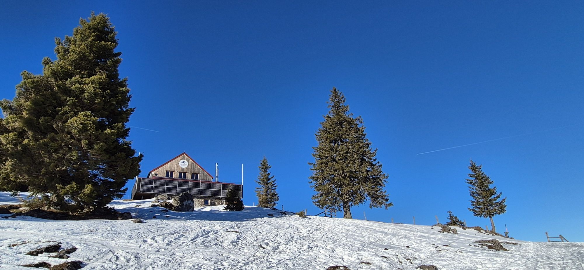
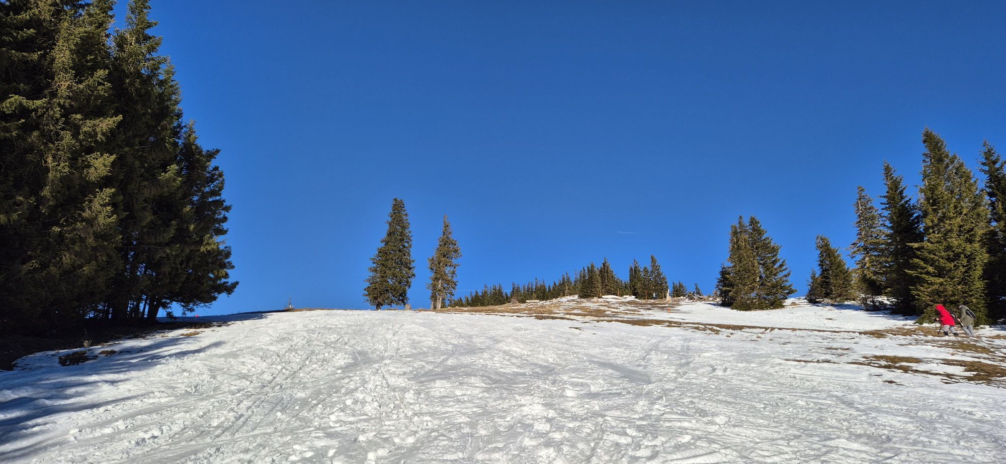
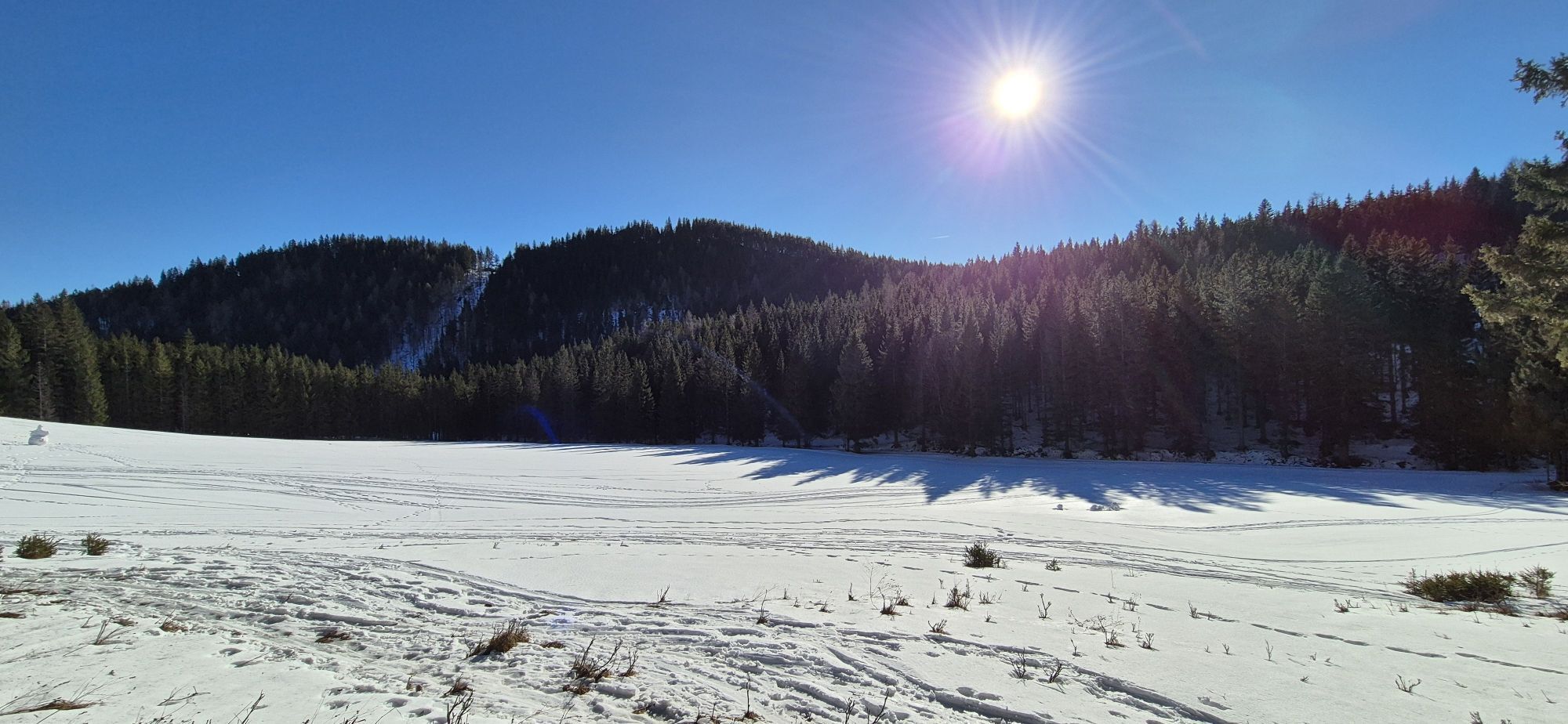
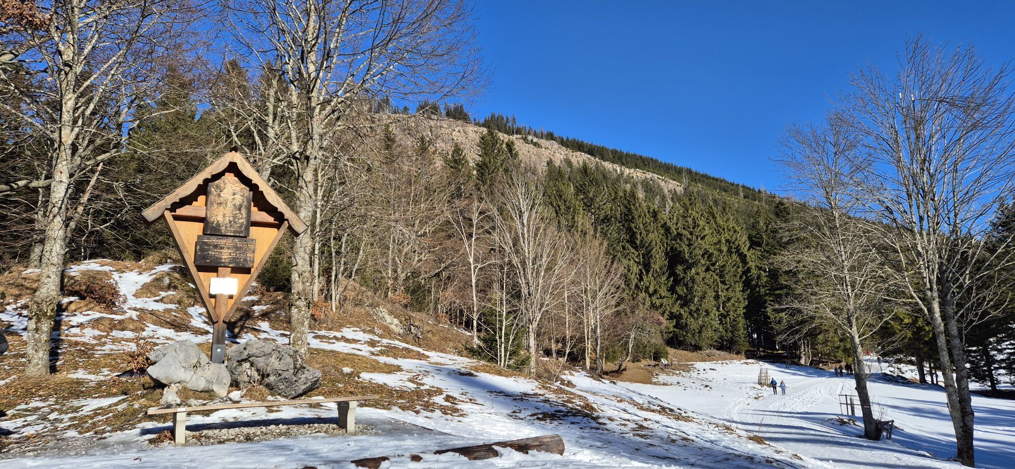
On the hiking route, you can enjoy the magnificent flora of the northern foothills of the Alps and the magnificent panoramic view of the alpine pastures of the Tirolerkogel. The route is particularly popular...
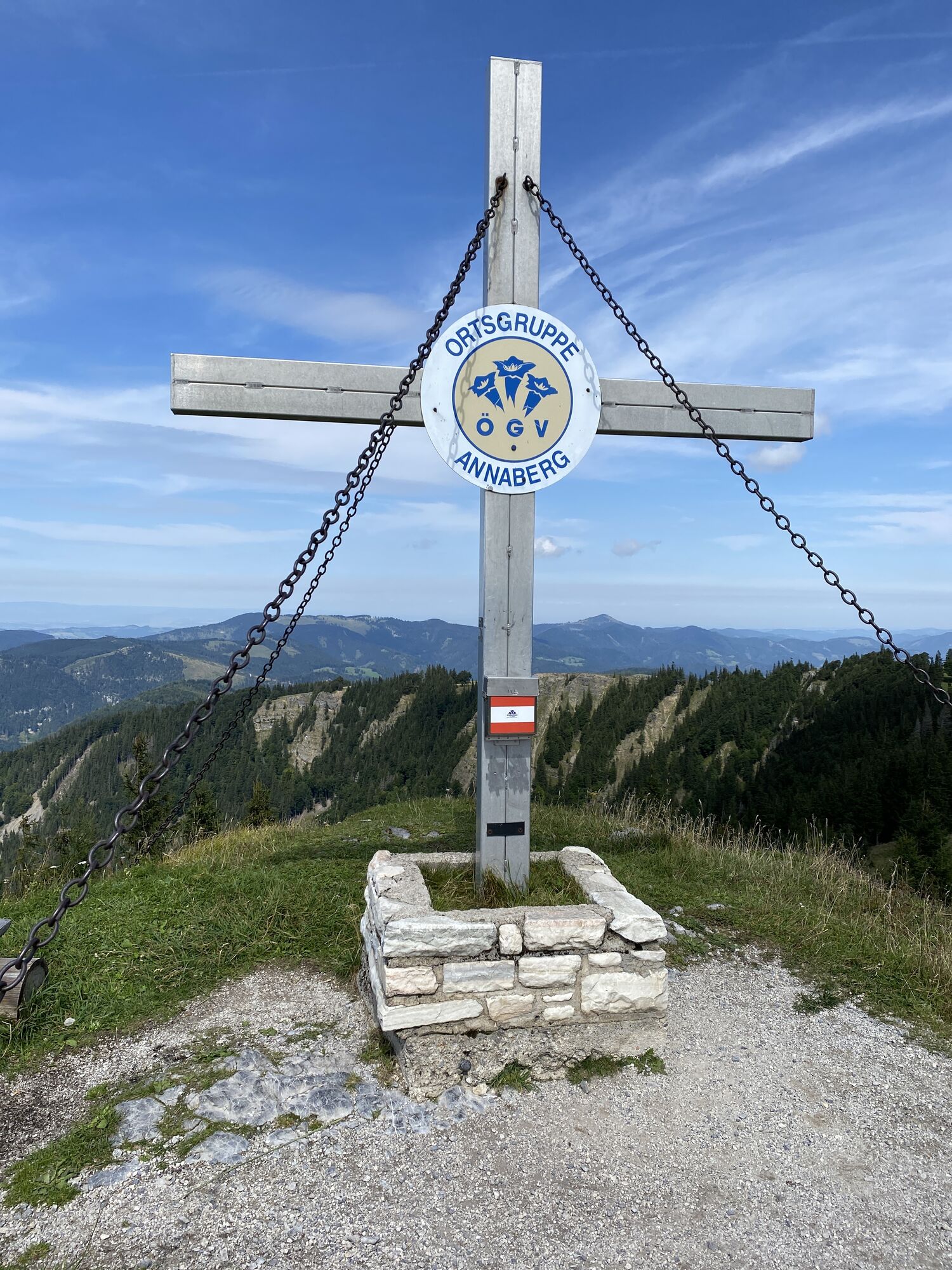
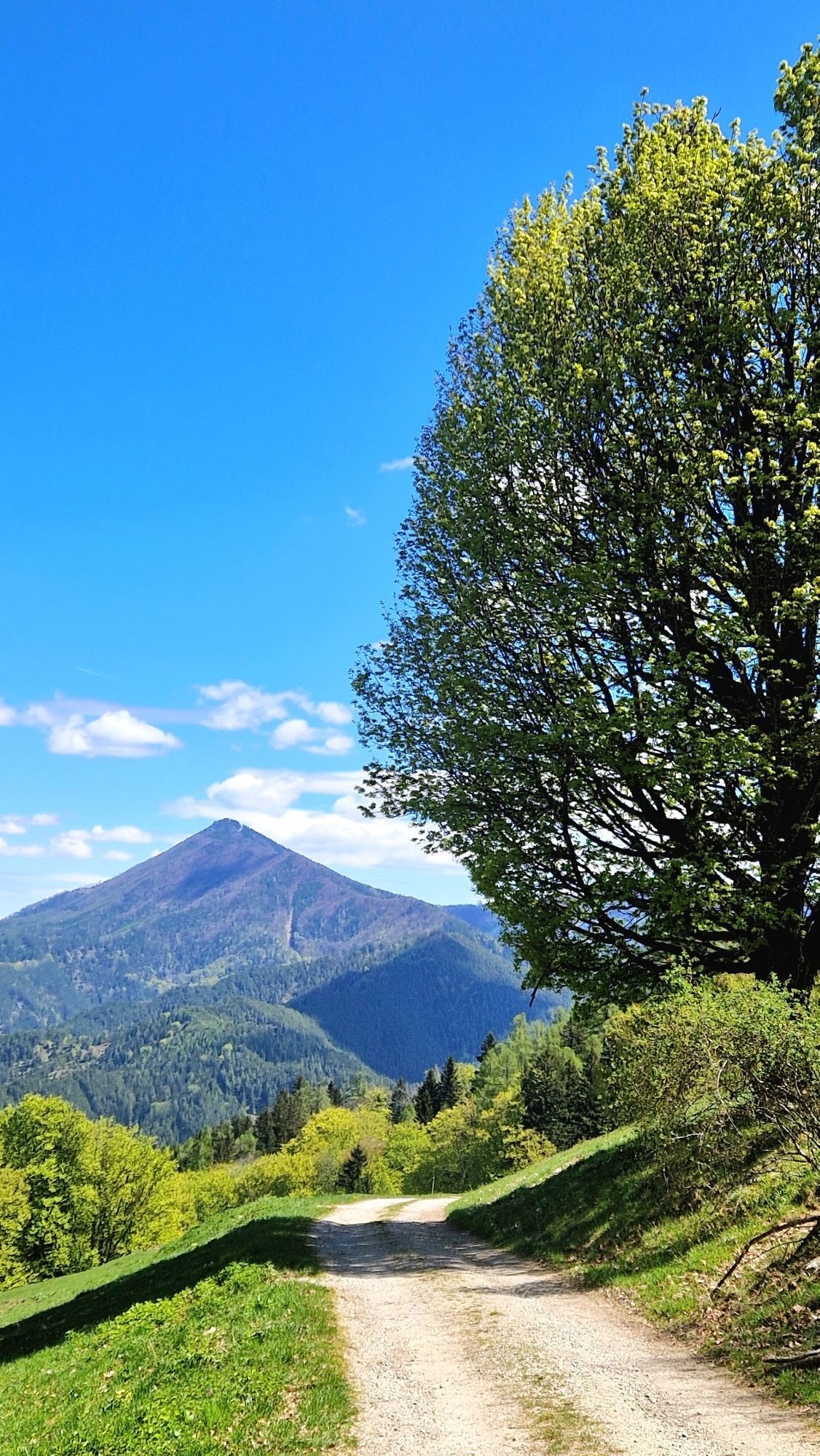
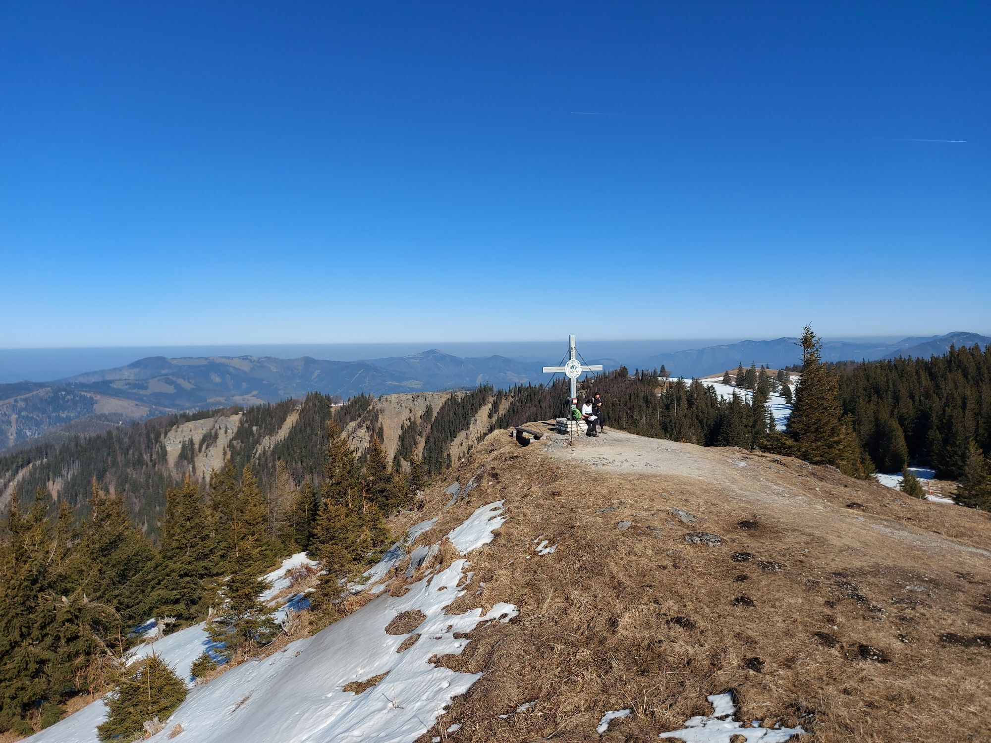
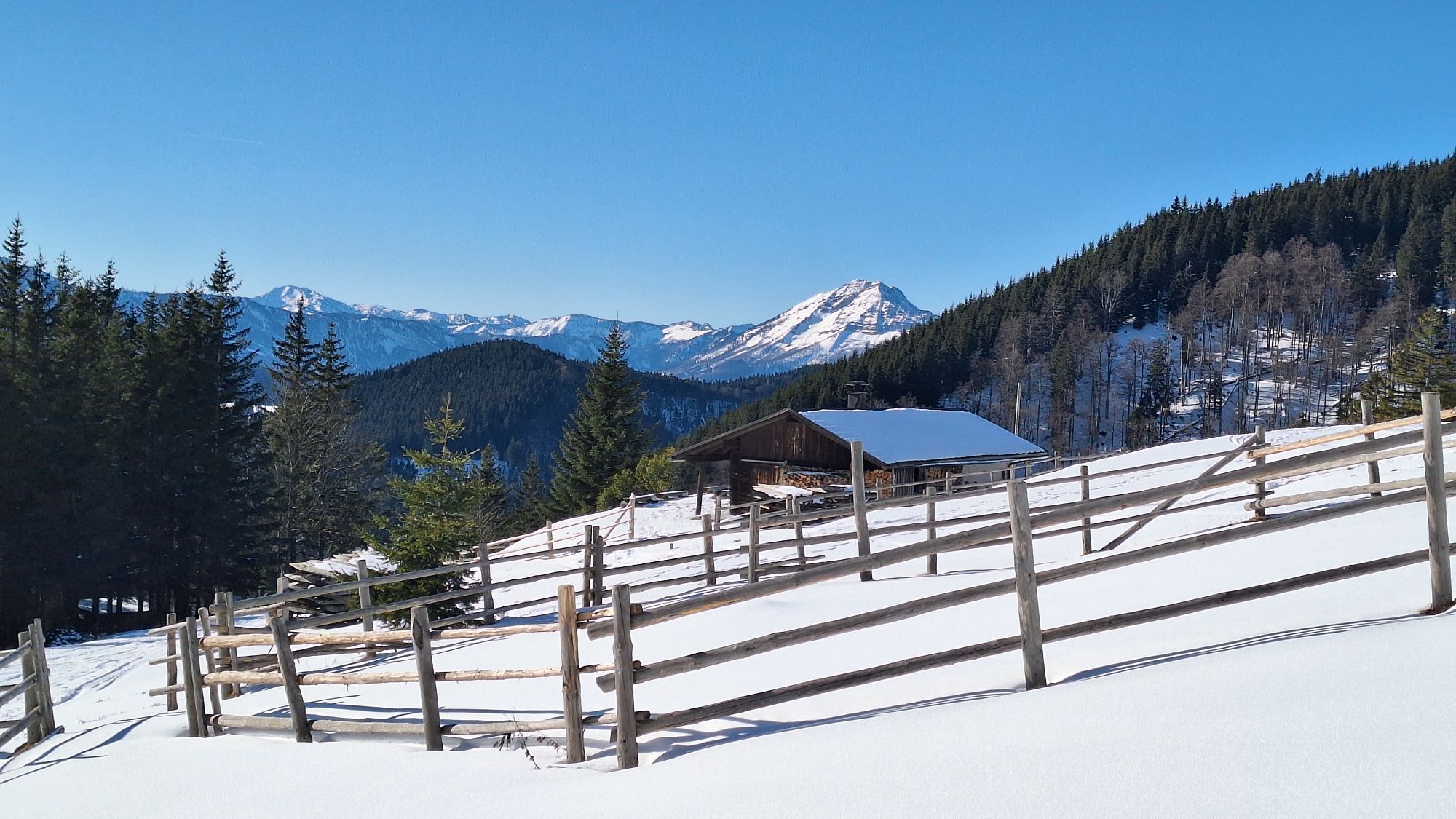
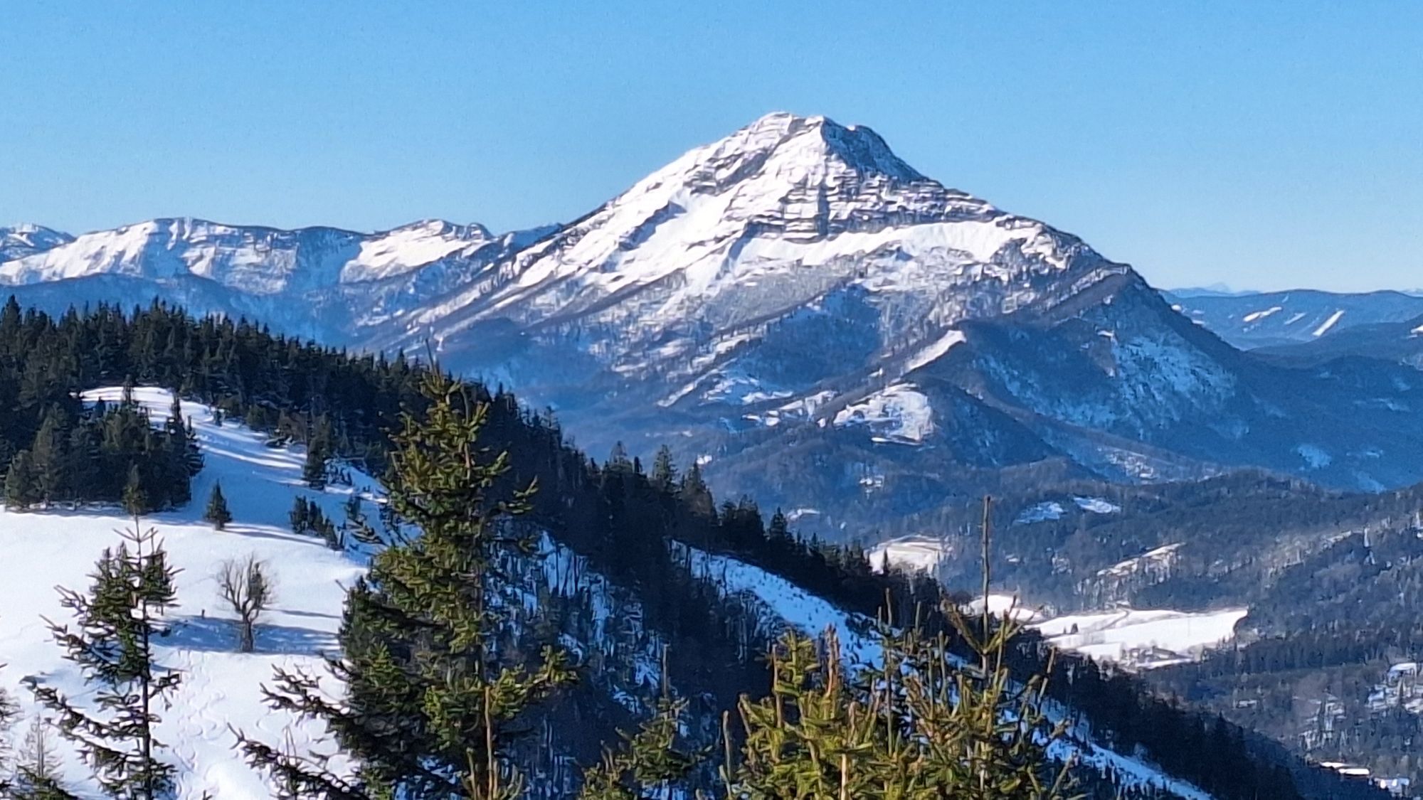
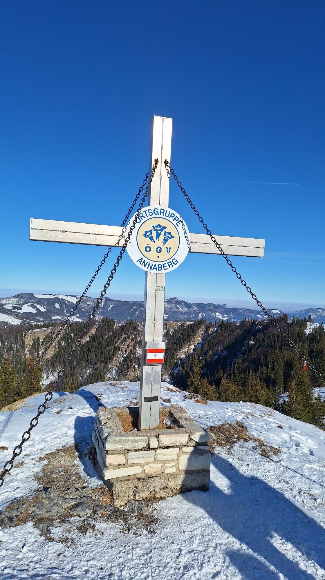
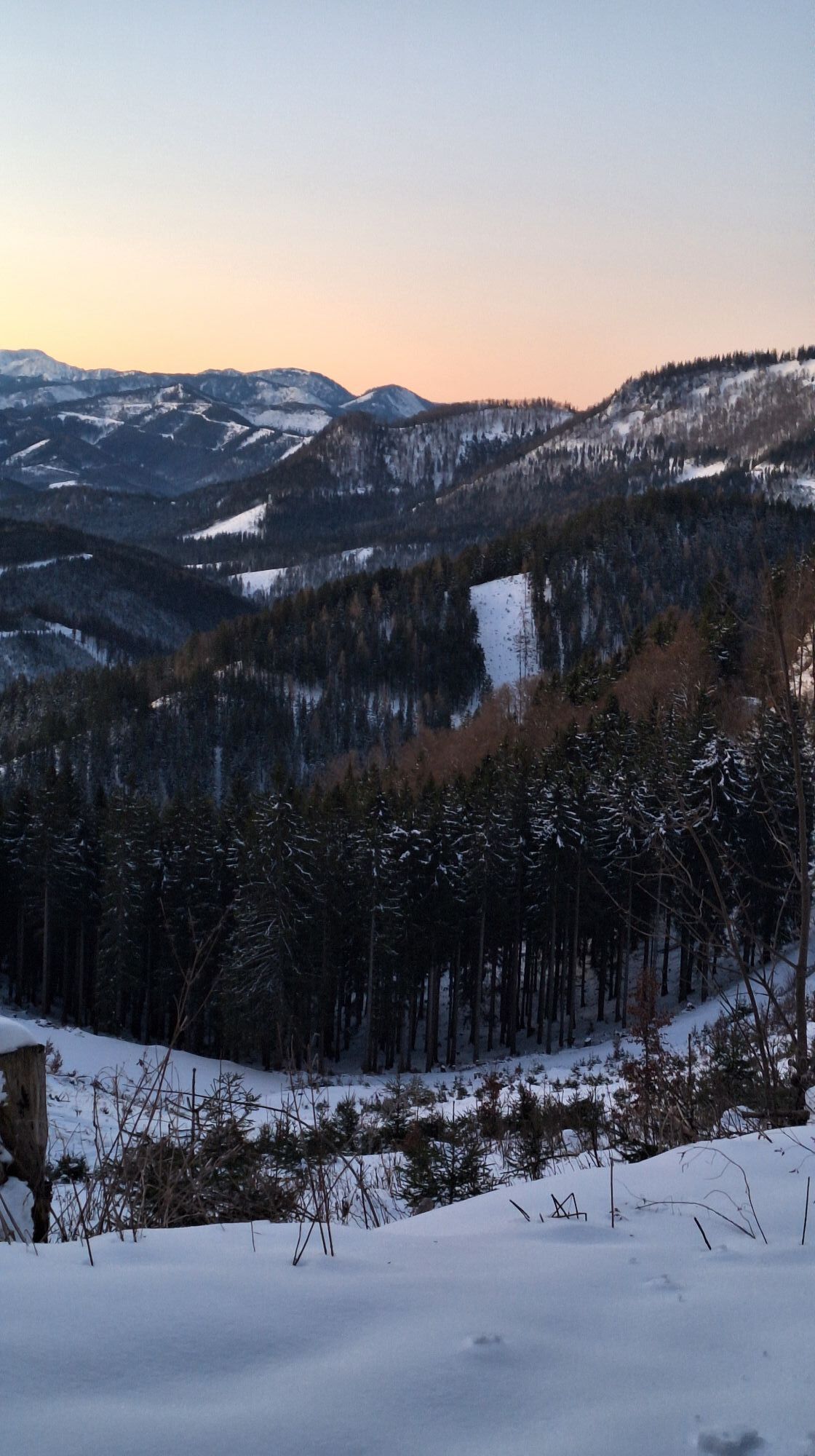
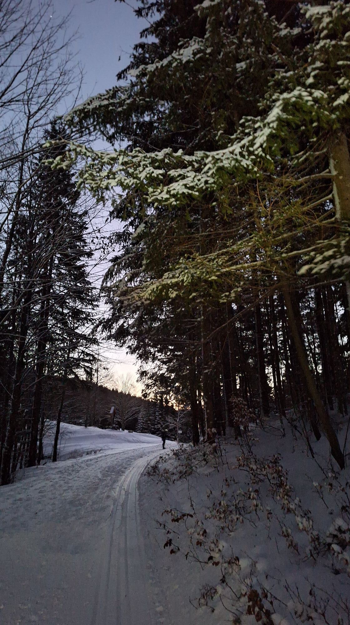
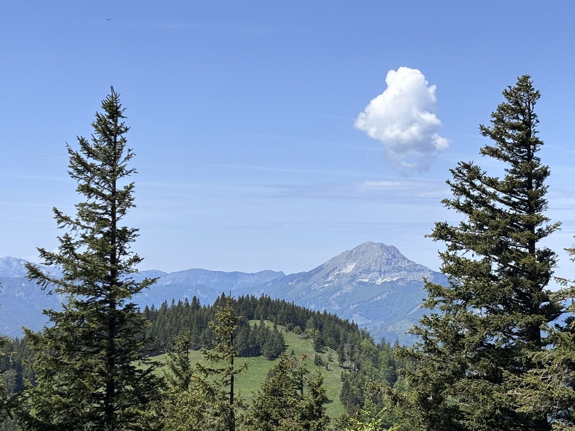
On the hiking route, you can enjoy the magnificent flora of the northern foothills of the Alps and the magnificent panoramic view of the alpine pastures of the Tirolerkogel. The route is particularly popular in winter as it offers a fantastic view of the snow-covered Alps. From the summit of the Tirolerkogel (1377 m above sea level) you can see from the Schneeberg to the Gesäuse and in a north-easterly direction as far as the Wachau.

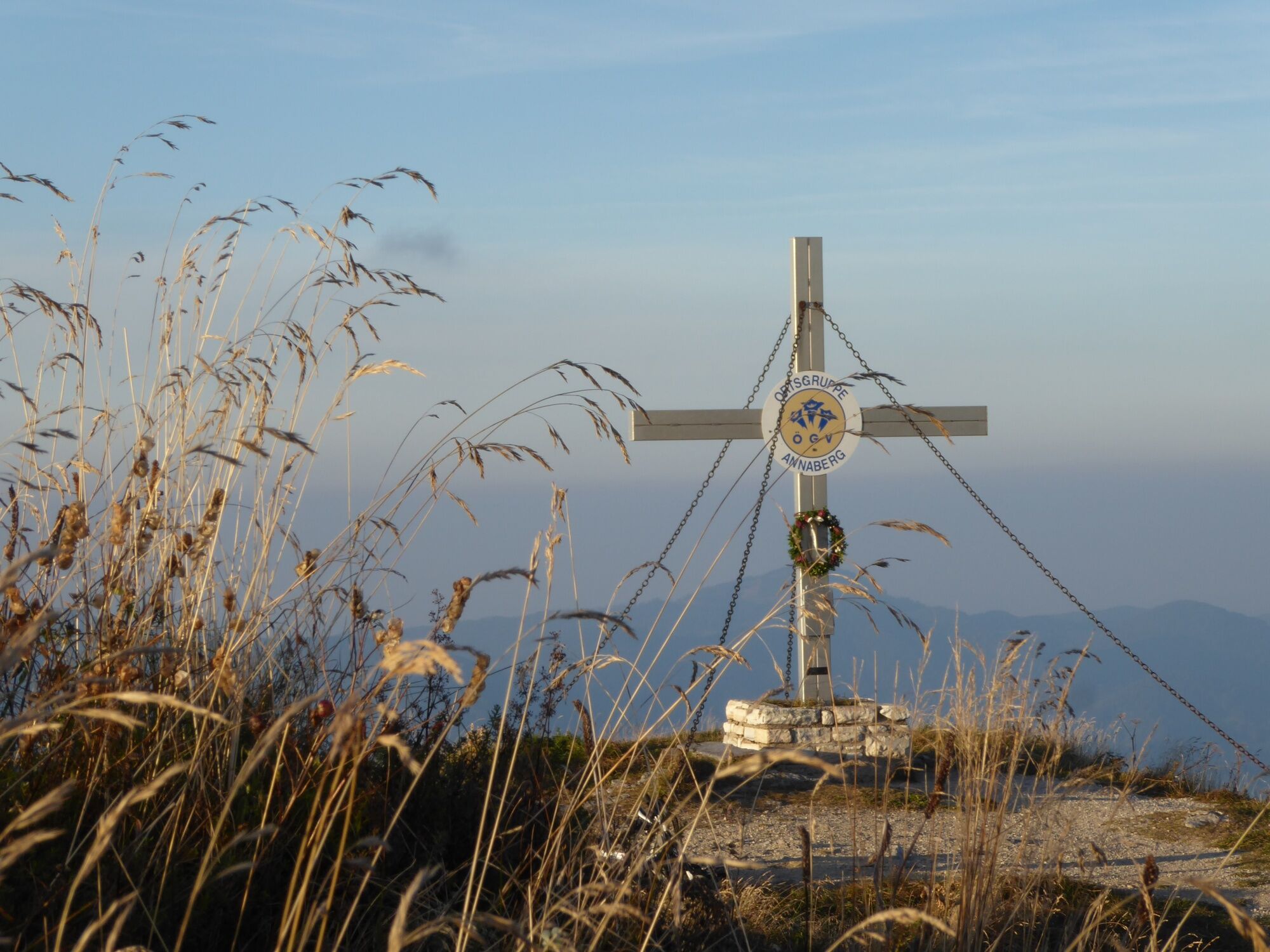
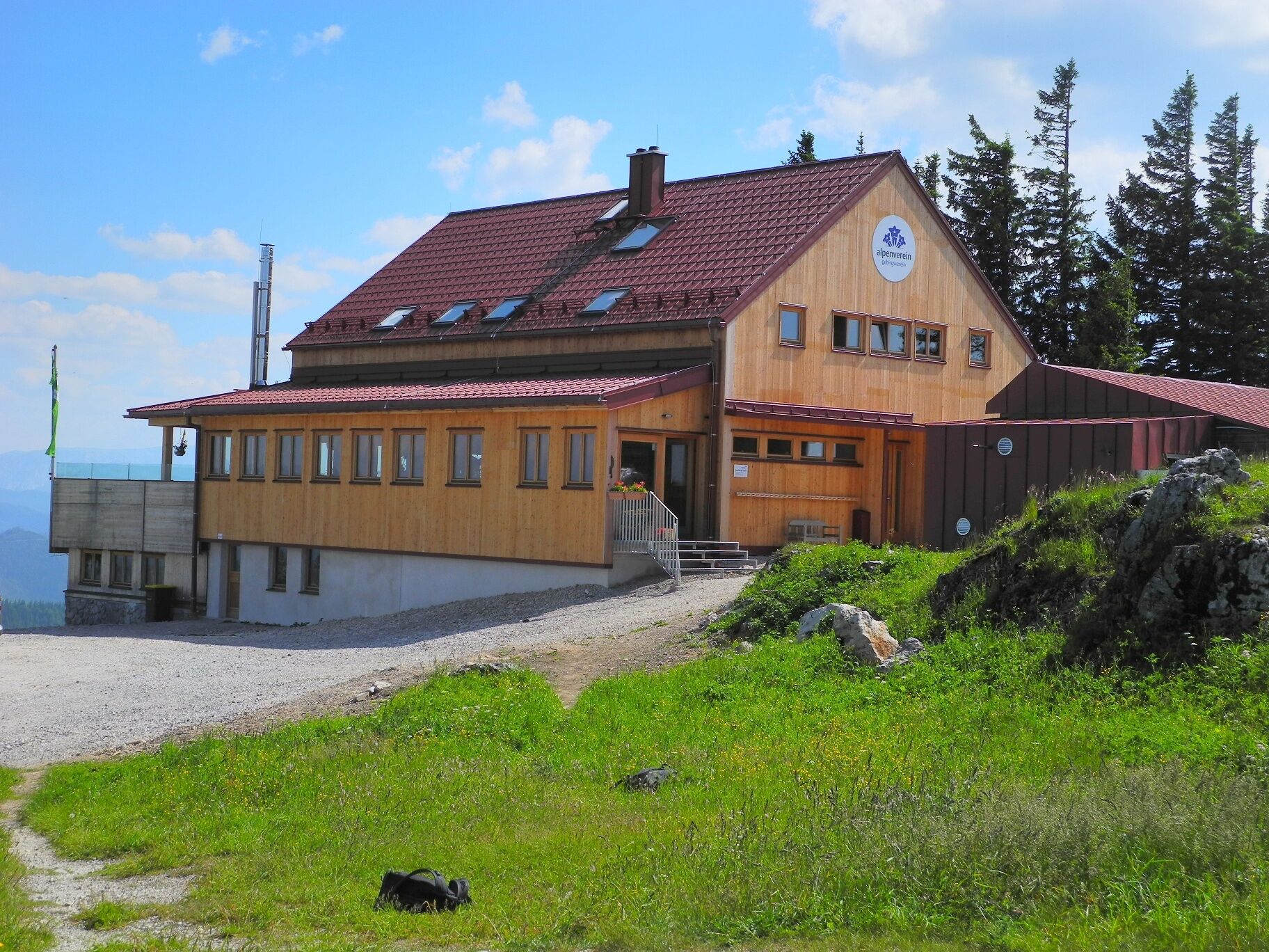

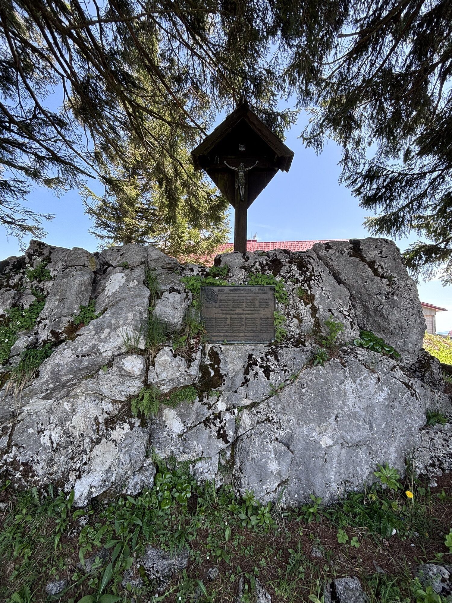
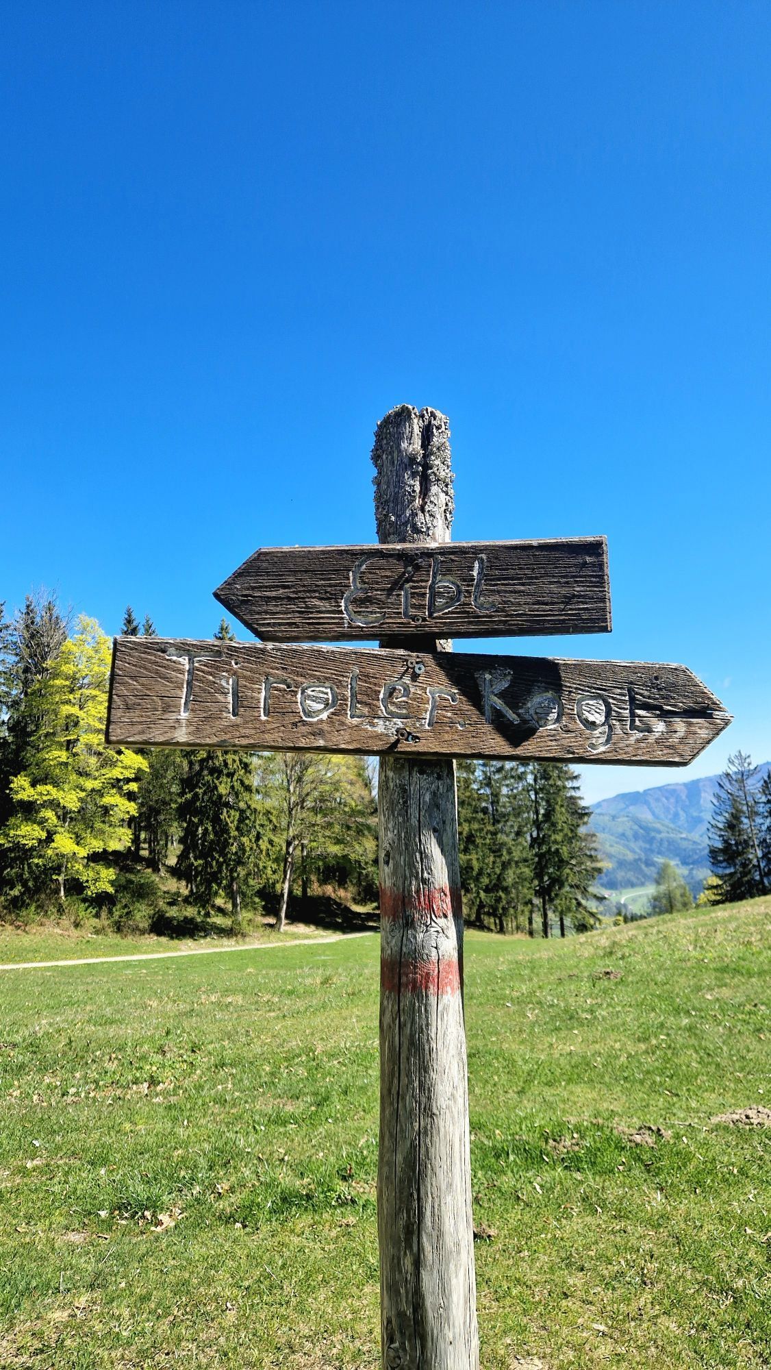
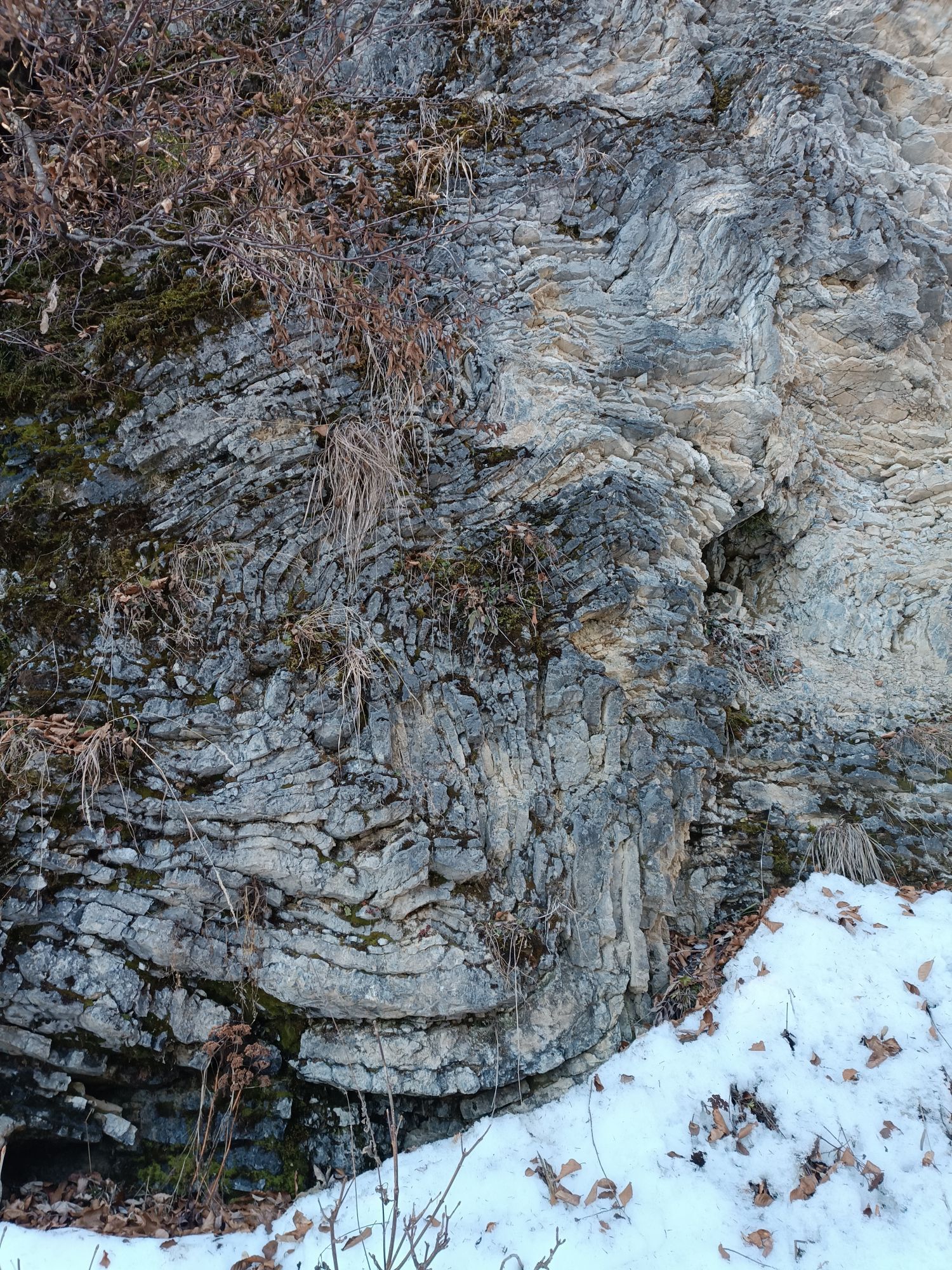
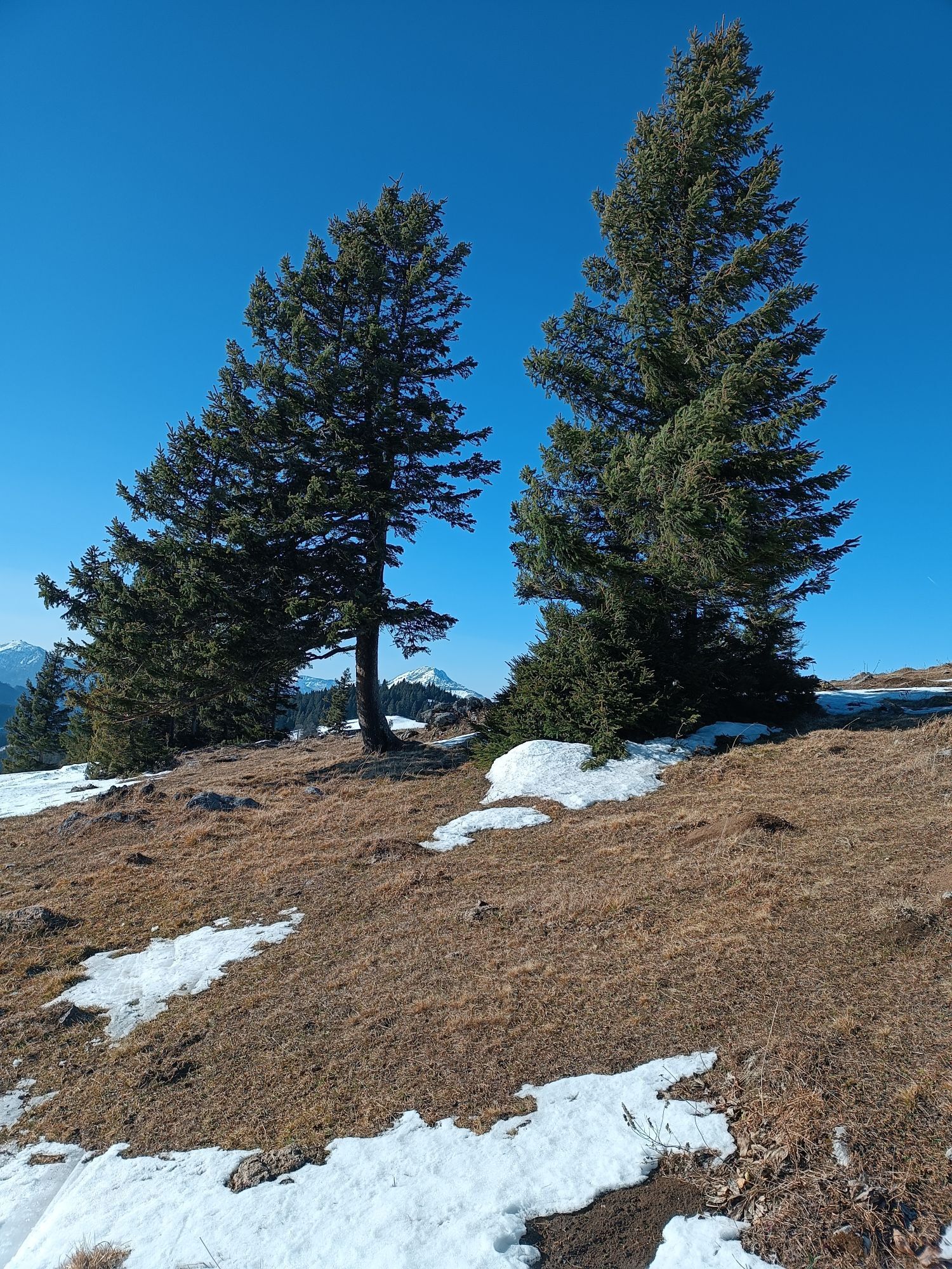
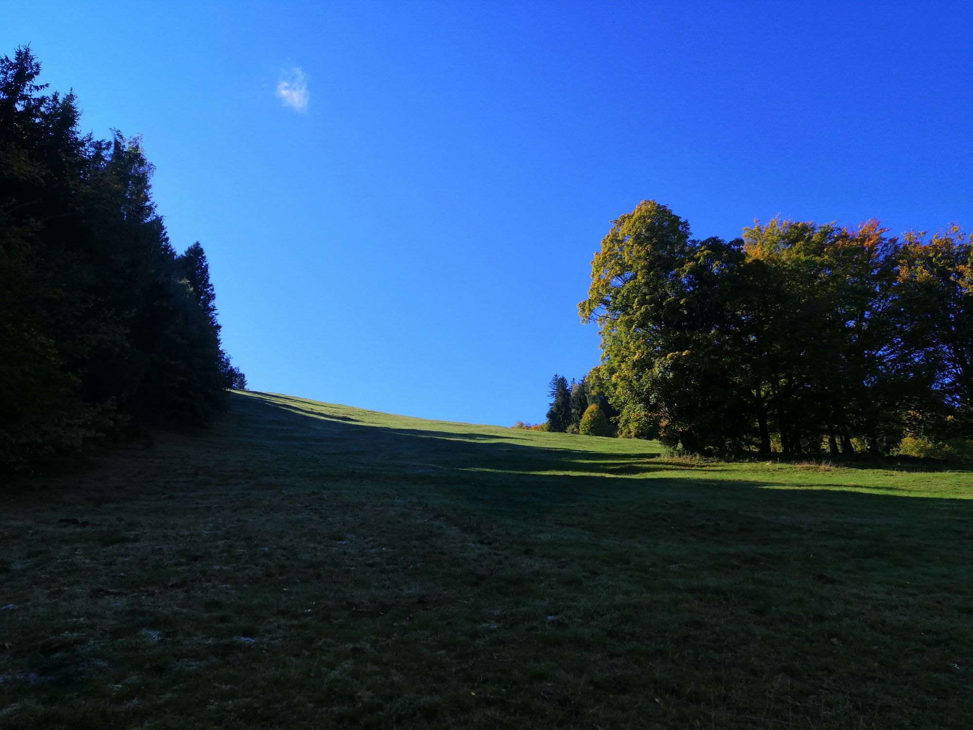
From the large parking lot east of Annaberg (memorial cross for avalanche victims of the Scheiblingberg avalanche) proceed comfortably on a gravel road to the “Gscheid.” Here, turn left and soon ascend more steeply to Bergecke and into the “Specktal” (interesting folds in the Gutensteiner limestone on the left side of the path), where you will soon reach the Halterhütte. Cut off the road switchbacks by going left straight over the slope with weather trees, enjoying an increasingly magnificent view of the Annaberger Haus. From there, continue on the ridge next to the cliff faces of the “Ödhofmauer” into steadily ascending switchbacks through a spruce forest to the mountain rescue hut “Österleinbrunn.” From here, ascend over lightly wooded terrain to the “Karnerhofspitz” and descend over the beautiful ridge meadows to the saddle near the former Eiblhaus. From here, turn right onto the cart path through the Schildbachrotte to Türnitz. Return by postbus to Annaberg is possible.
A1 exit Ybbs/Donau - B 25 towards Wieselburg - through Wieselburg towards Eisenstraße - turn left at B 28/Puchenstubener Straße - B 28 towards Puchenstuben - follow B 28 - turn left onto B 20 in Lassingrotte - Annaberg
Annaberg
Mitterbach Tourism Association
Hauptstraße 14
3224 Mitterbach
Phone/Fax 03882/42 11
www.mitterbach.at
Pridobite vpogled
Vedno v živo na mestu z več kot 9.500 spletnimi kamerami. bergfex Kot uporabnik Pro si lahko zdaj ogledate ustrezne spletne kamere za številne izlete v aplikaciji izleti iz. Tako si lahko neposredno ogledate trenutne razmere.
Priljubljeni izleti v okolici
-
4.9
Lassingfall - Ötscherhias - Erlaufklause
srednjaPohodništvo 8.20 km -
4.8
Hohenstein von Sois
srednjaPohodništvo 12.0 km -
4.8
Naturpark Ötscher-Tormäuer Wienerbruck
svetlobaPohodništvo 6.06 km -
4.7
Türnitz - Eisenstein Türnitz, Niederösterreich
srednjaPohodništvo 15.5 km -
4.6
Eisenstein Rundweg von Türnitz-Knedelhof
svetlobaPohodništvo 10.2 km -
4.6
Tour auf den Göller
svetlobaGorski pohodništvo 9.32 km -
4.6
Ötschergräben Runde über Wienerbruck, Josefsberg und Erlaufsee
svetlobaPohodništvo 16.8 km -
4.4
Hohenstein 1195m - Sois im Pielachtal
svetlobaPohodništvo 10.6 km -
4.2
Ybbstaler Alpen: Hintere Tormäuer und Ötschergräben
svetlobaPohodništvo 13.1 km -
4.2
Herzerlweg Annaberg
srednjaPohodništvo 11.3 km
Pohodništvo in sledenje


Ne zamudite ponudb in navdiha za naslednje počitnice
Vaš e-poštni naslov je bil dodan na poštni seznam.





