
Mühlviertler Naturfreundeweg Nr. 170
srednja
Pridobite to turo v svoj mobilni telefon
Mühlviertler Naturfreundeweg Nr. 170
srednja
Pohodništvo
81.35
km
Skenirajte kodo QR in začnite navigacijo v aplikaciji bergfex.


Pohodništvo in sledenje



Mühlviertler Naturfreundeweg Nr. 170
srednja
Razdalja
81.4
km
Trajanje
23:30
h
Ascent
1,329
hm
Morska gladina
249 -
1,041
m

V aplikaciji si oglej pot
Brezplačno namestite aplikacijo in spremljajte pot z GPS-navigacijo in sledenjem.
bergfex zdaj uporabljaj v aplikaciji
S kamero poskeniraj QR-kodo
Ko je aplikacija nameščena, se vsebina odpre takoj. Če aplikacije še nimaš, te bo preusmerila na stran za brezplačen prenos.
Prenos skladbe
Mühlviertler Naturfreundeweg Nr. 170
srednja
Pohodništvo
81.35
km
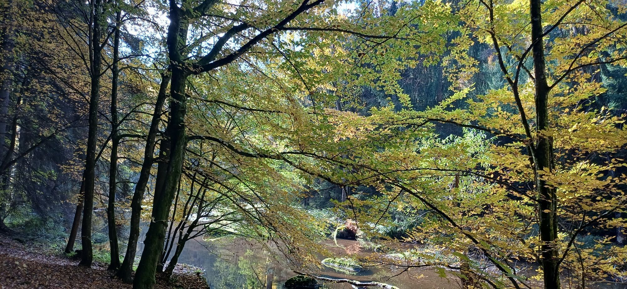
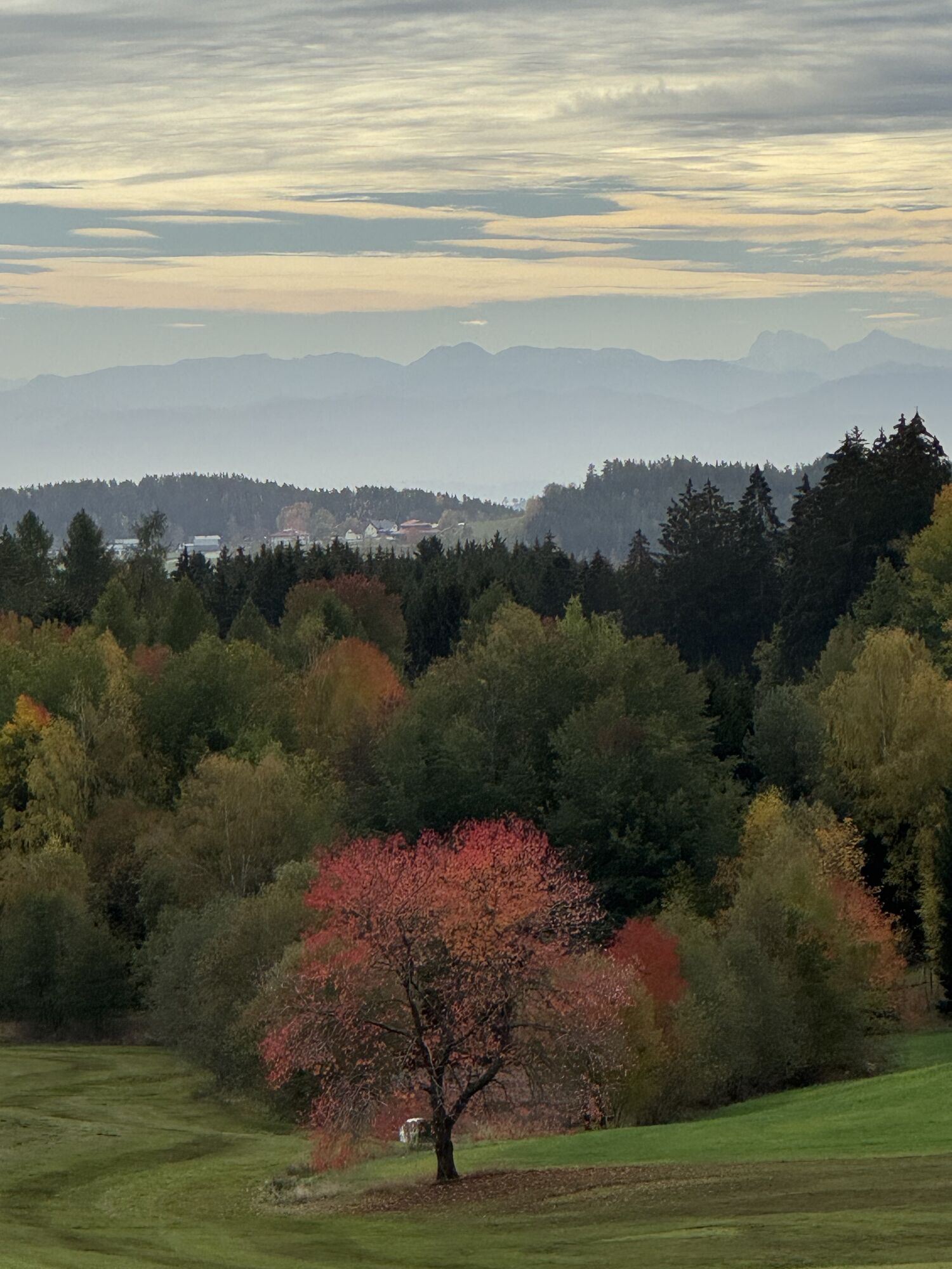
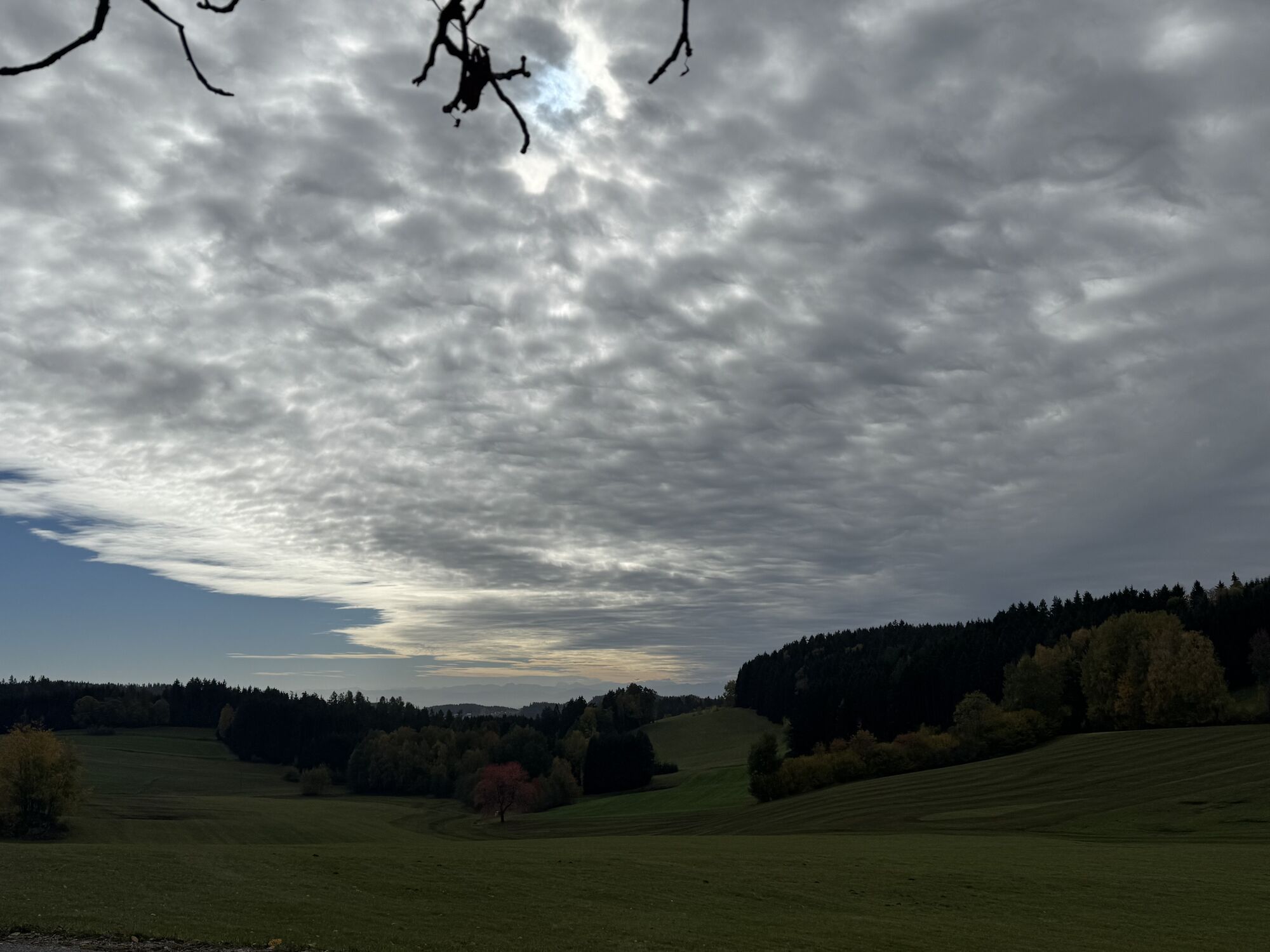
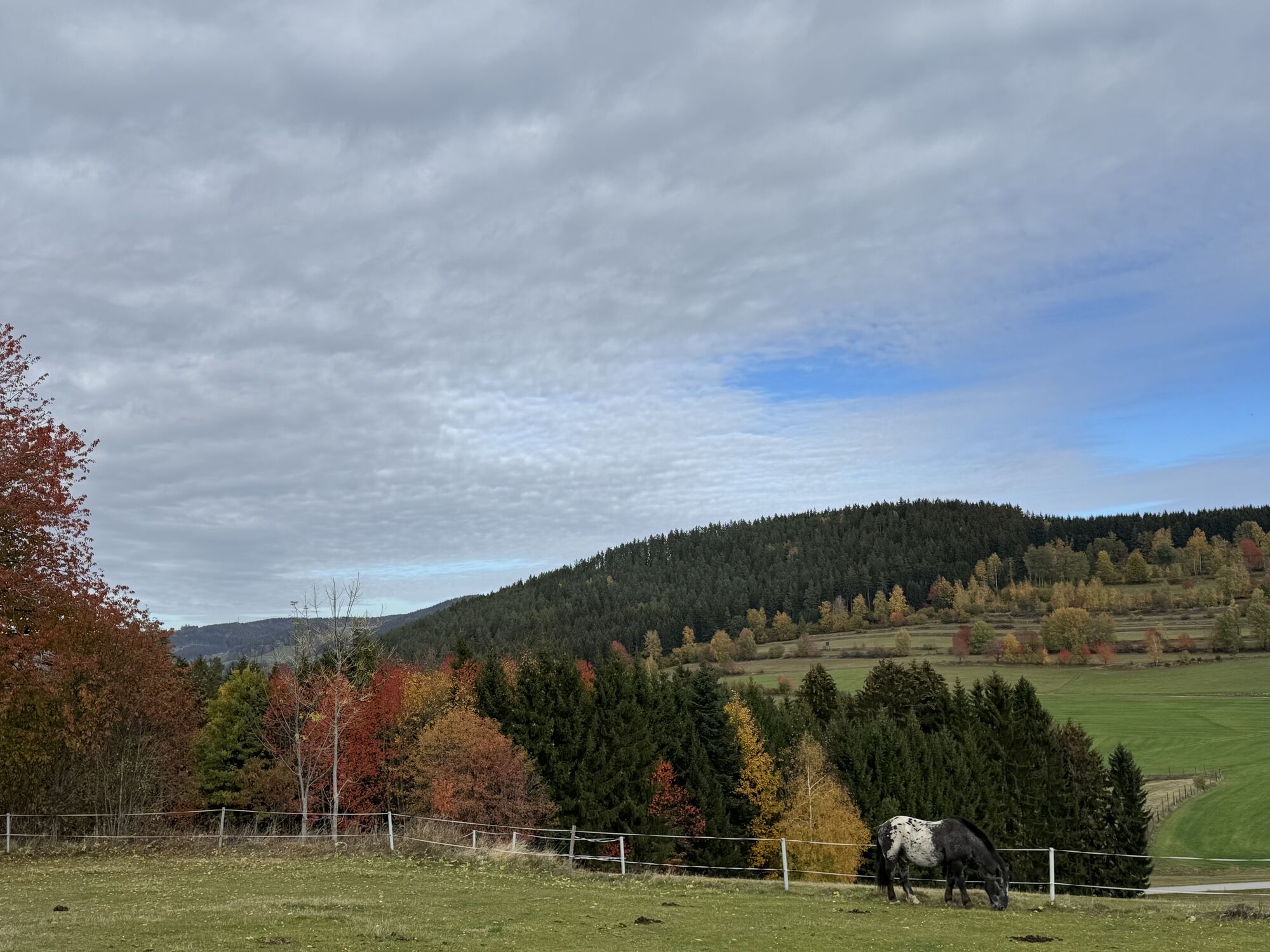
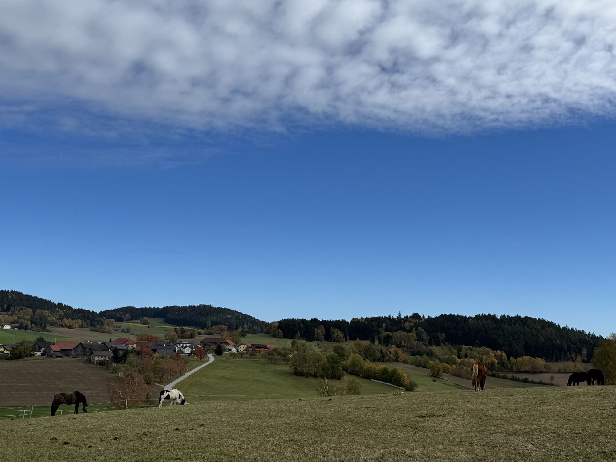
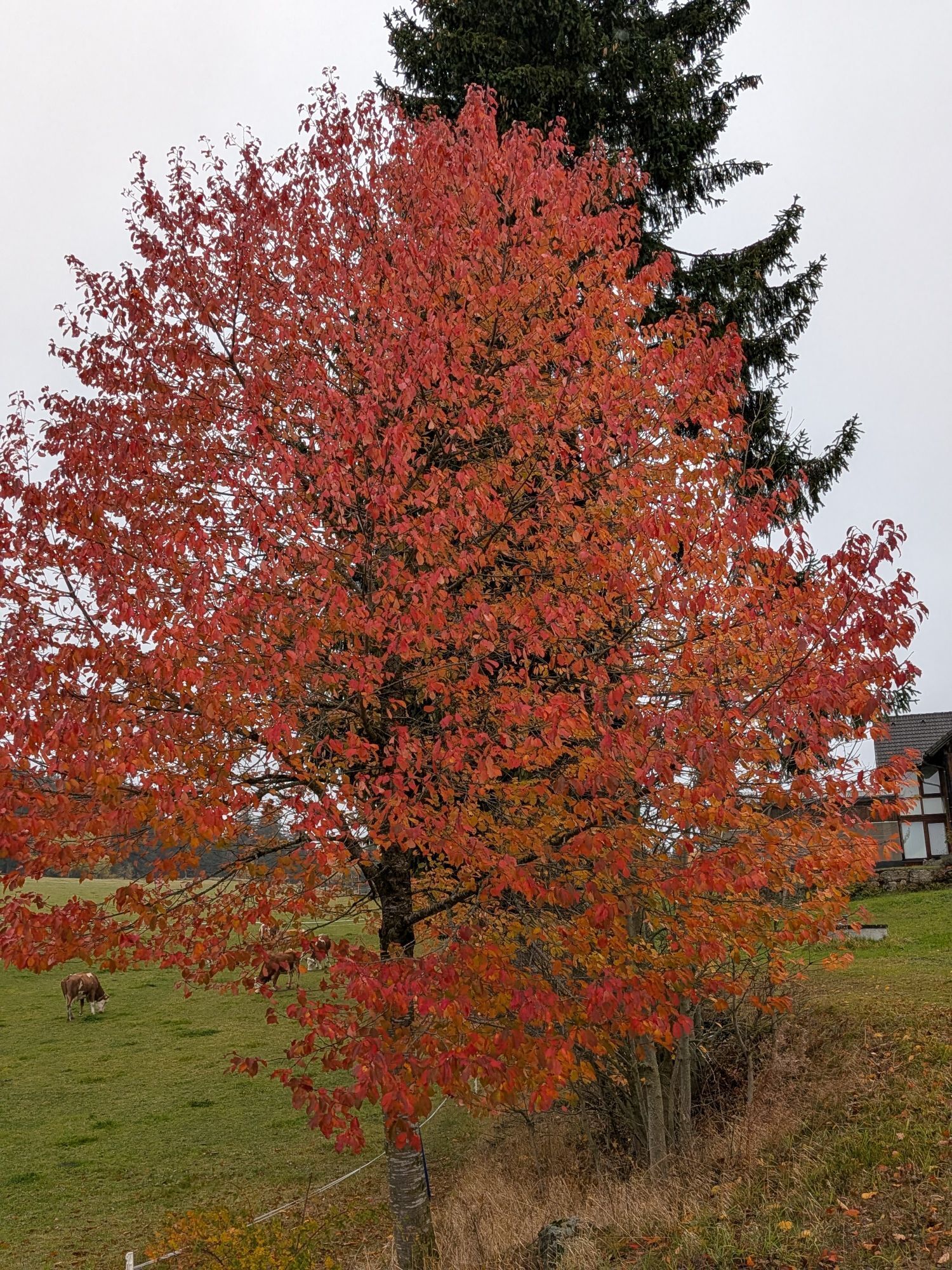
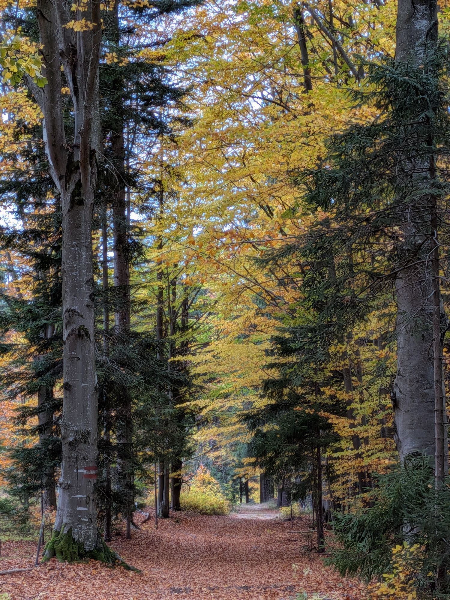
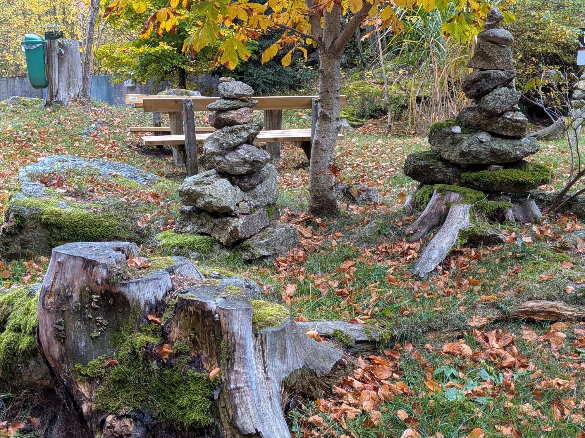
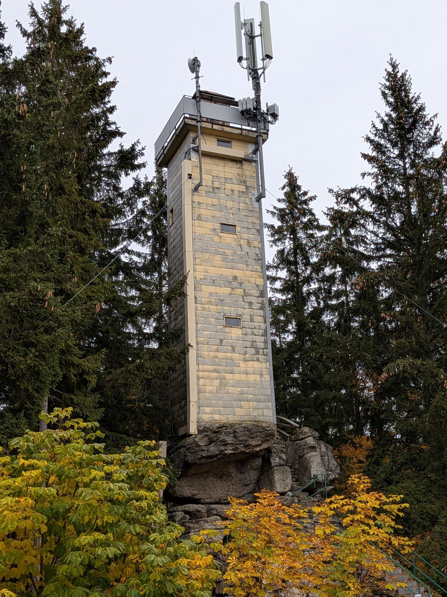
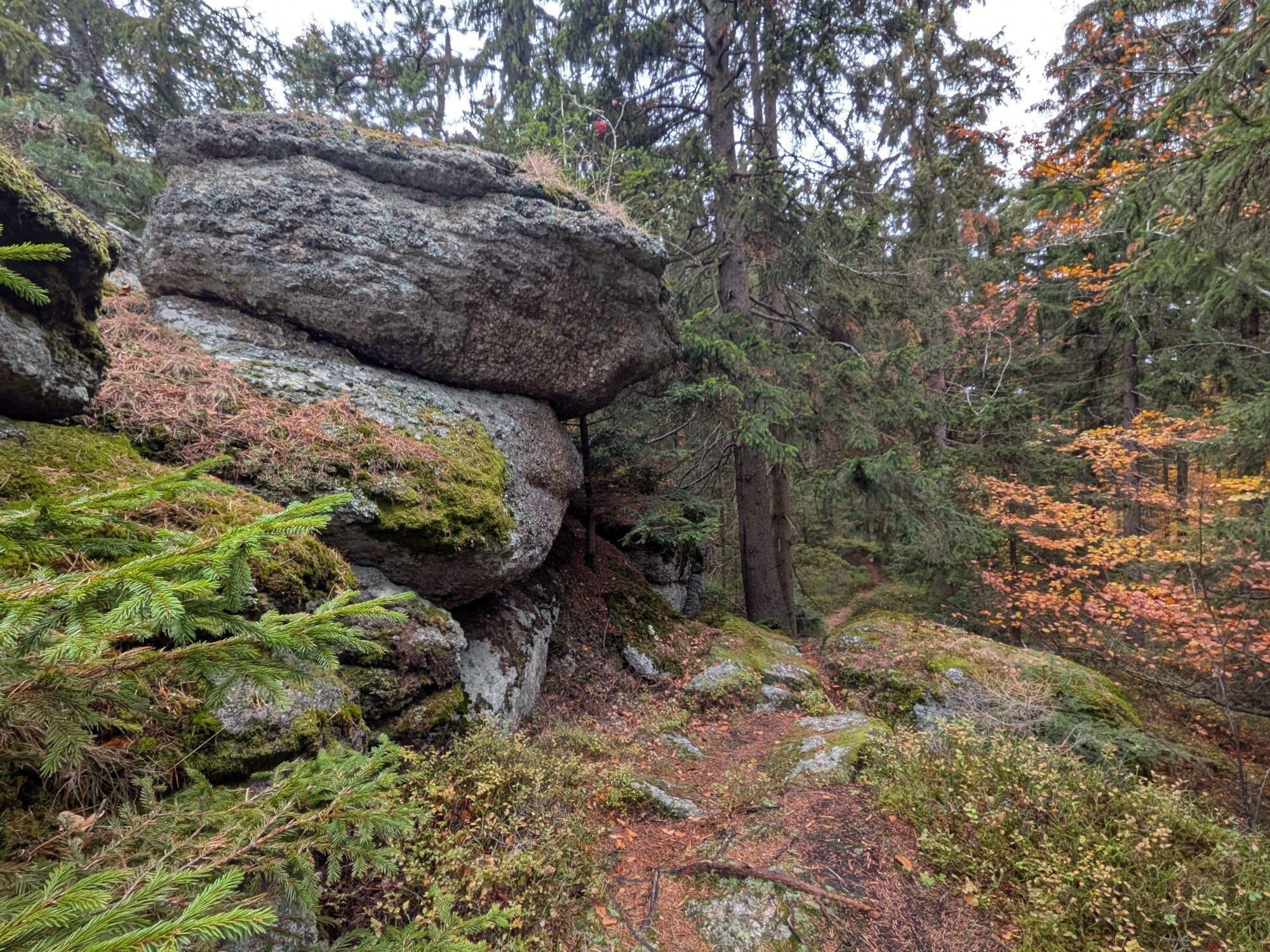
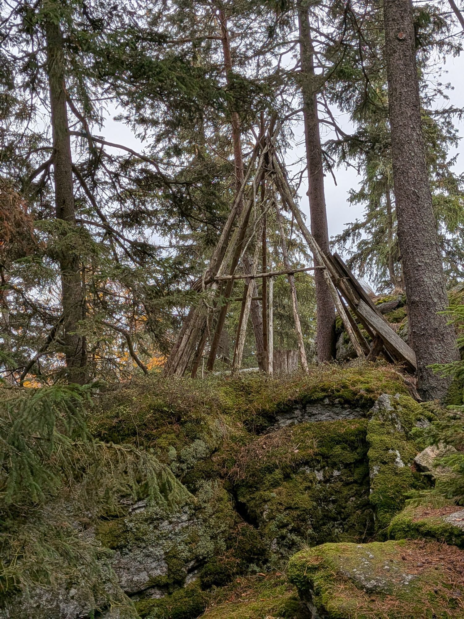
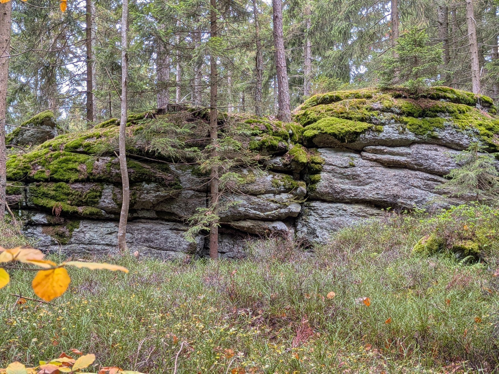
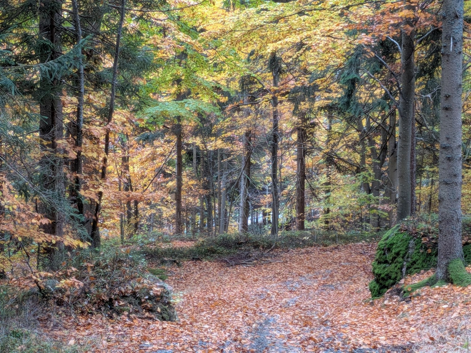
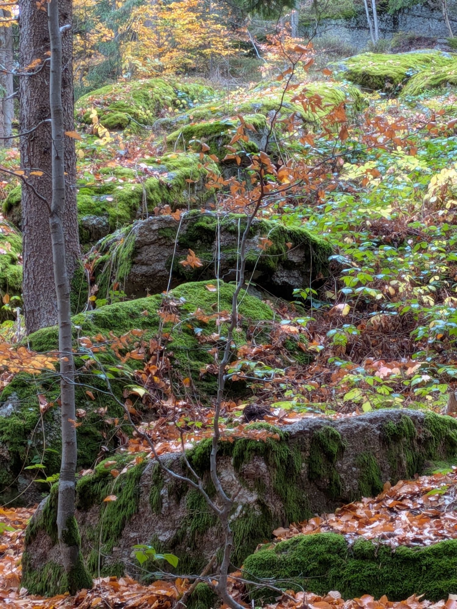
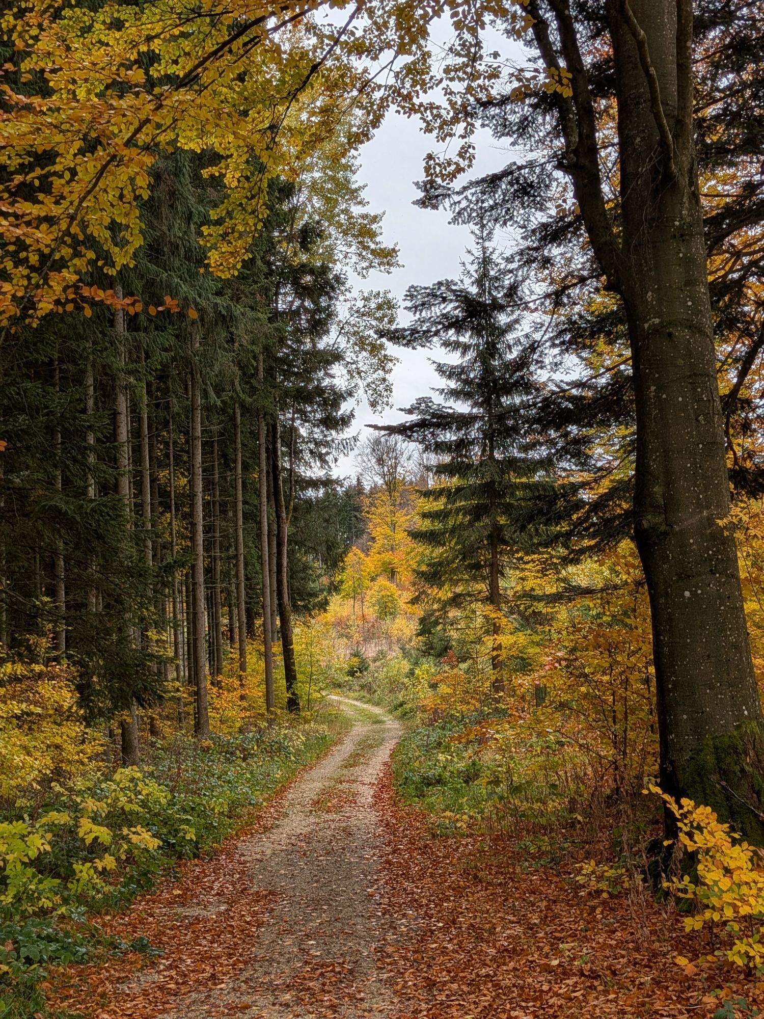
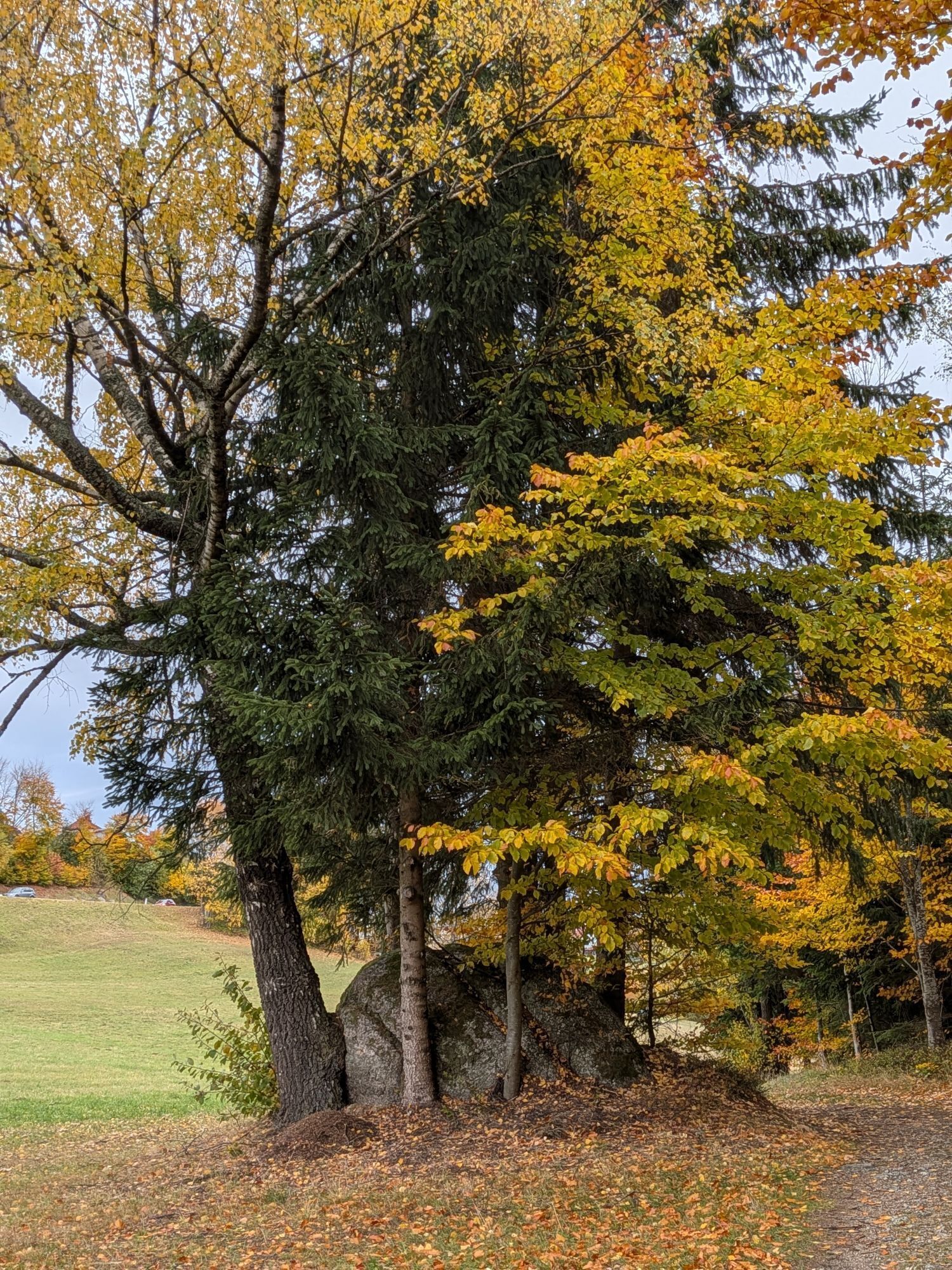
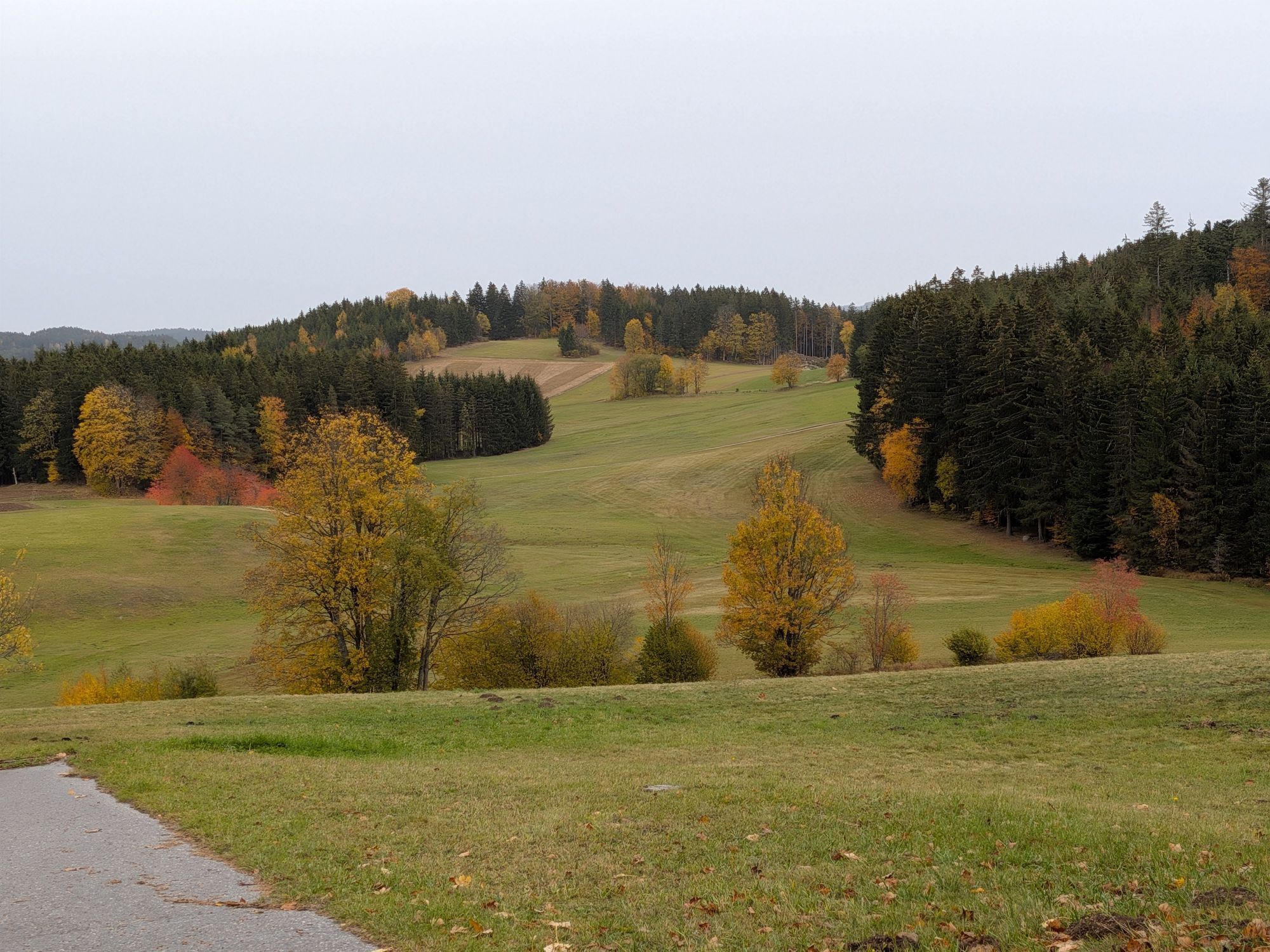
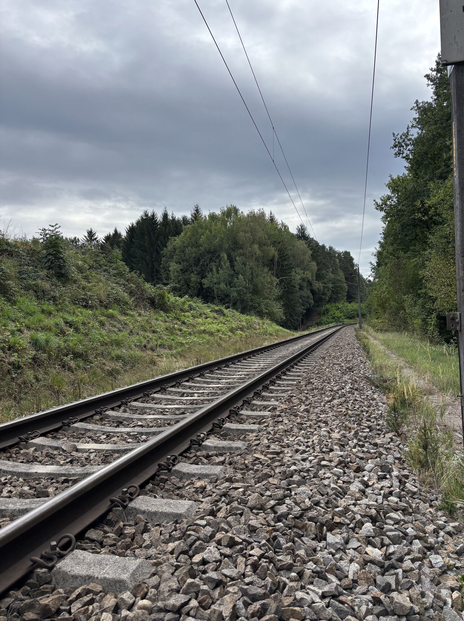
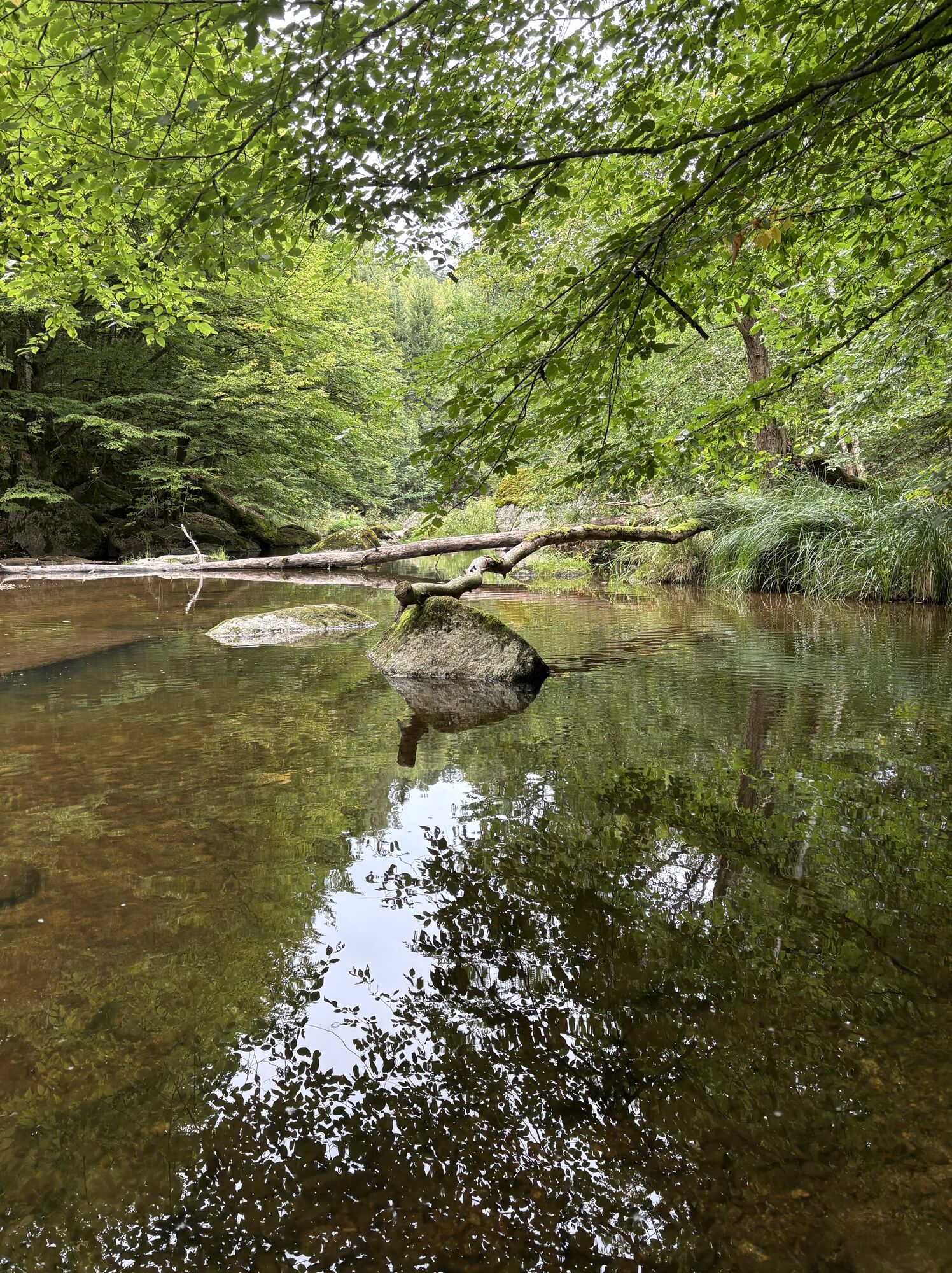
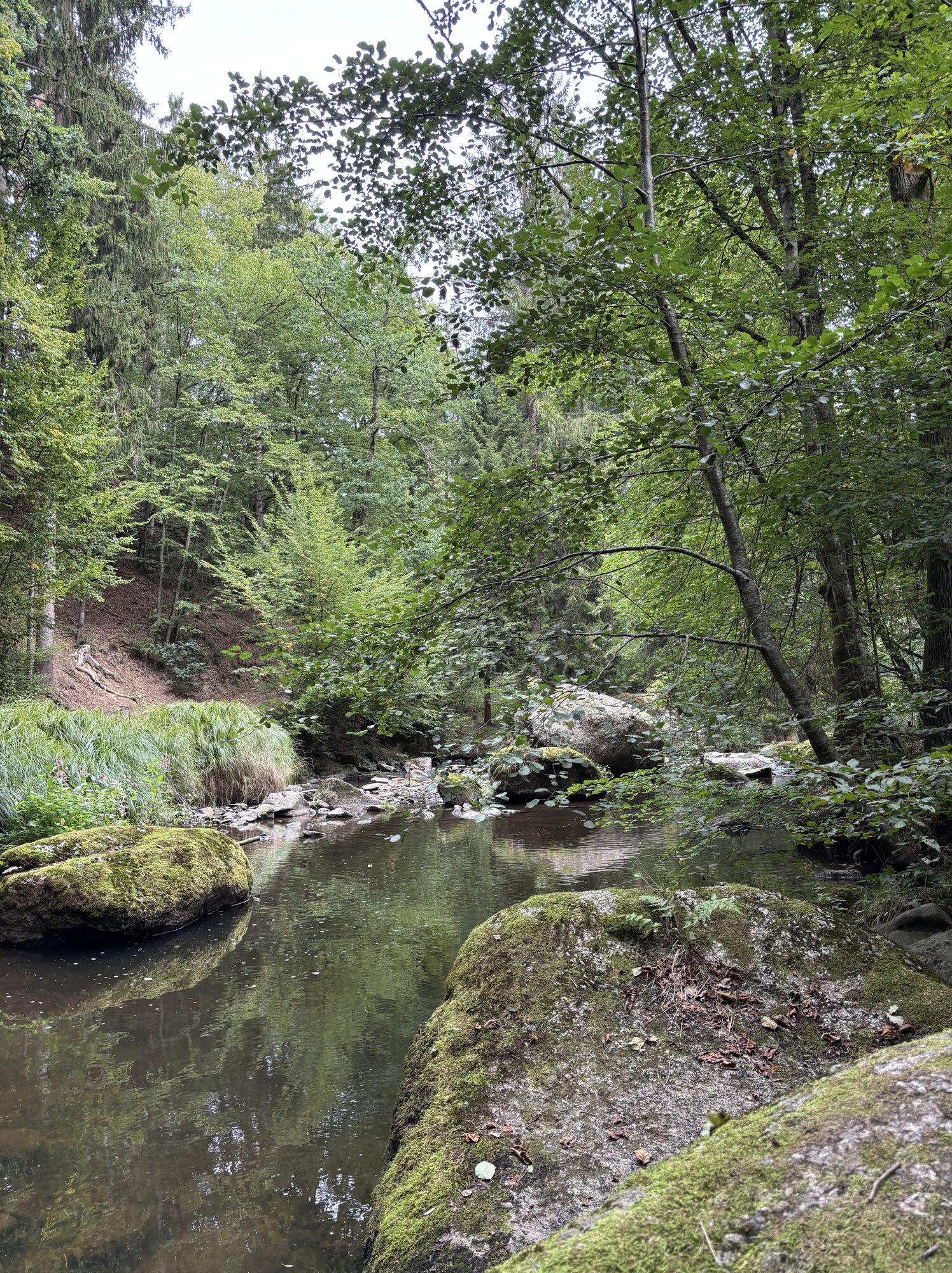
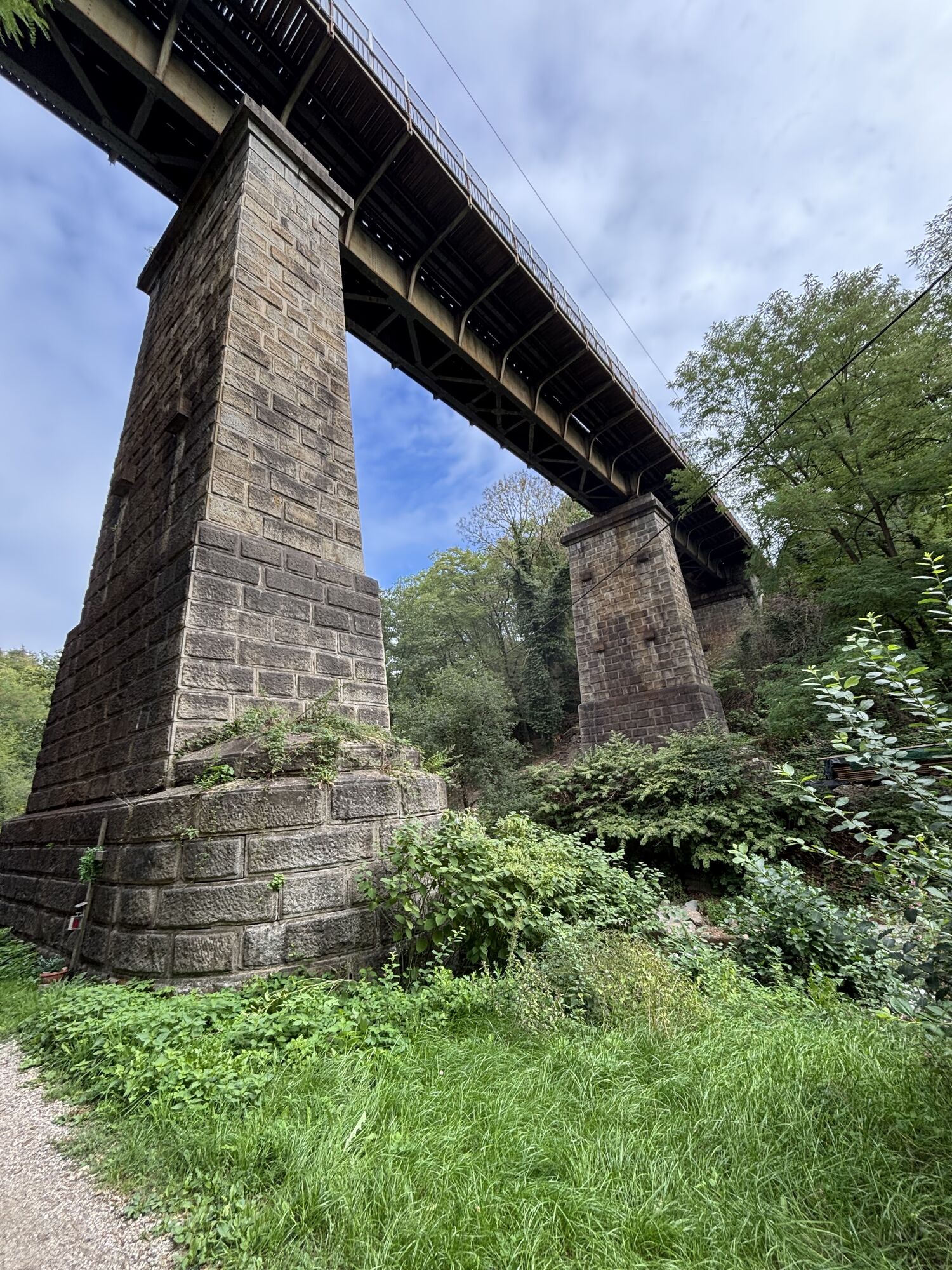
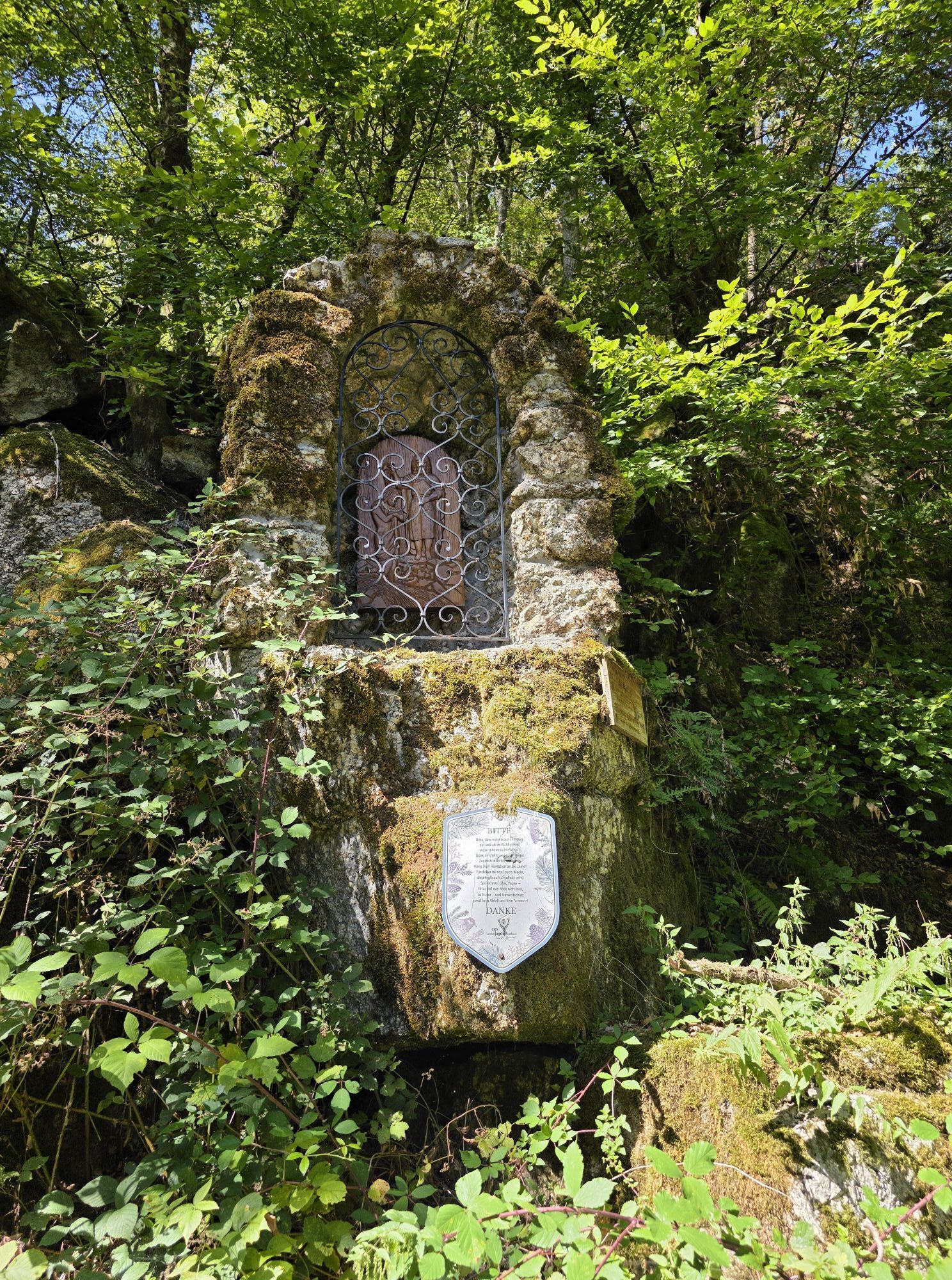
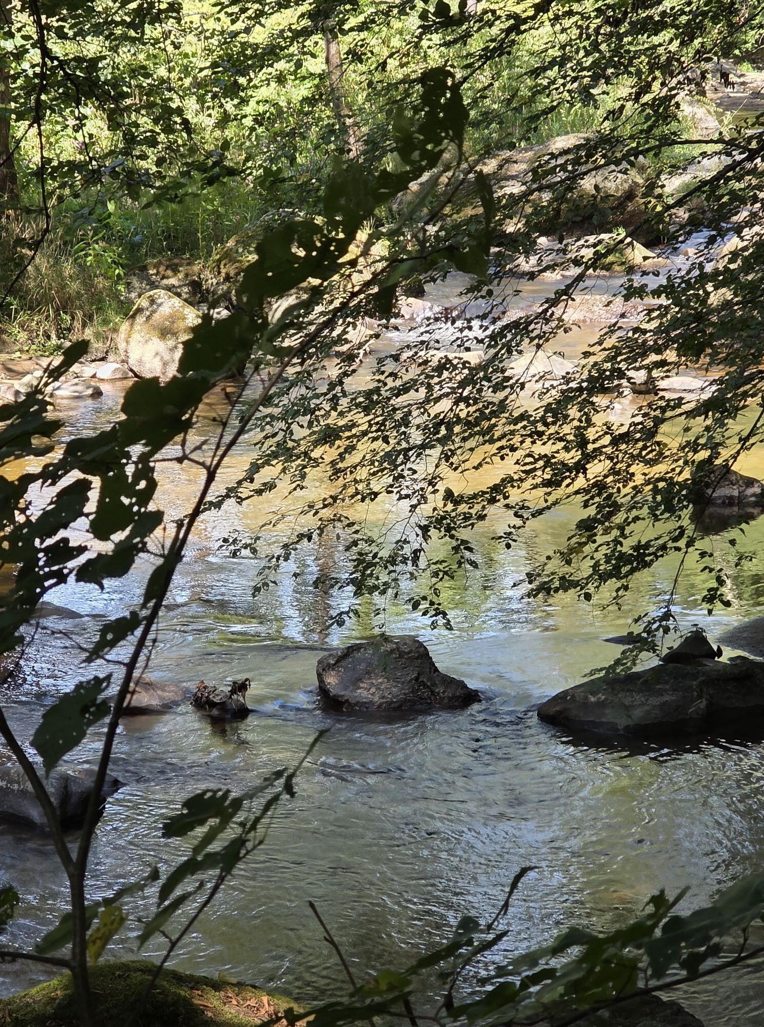
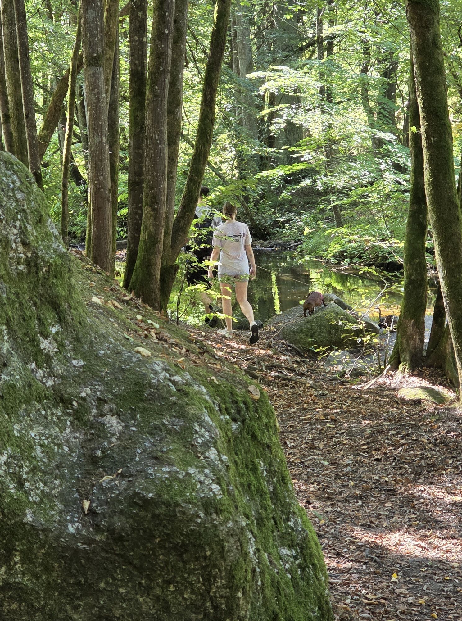
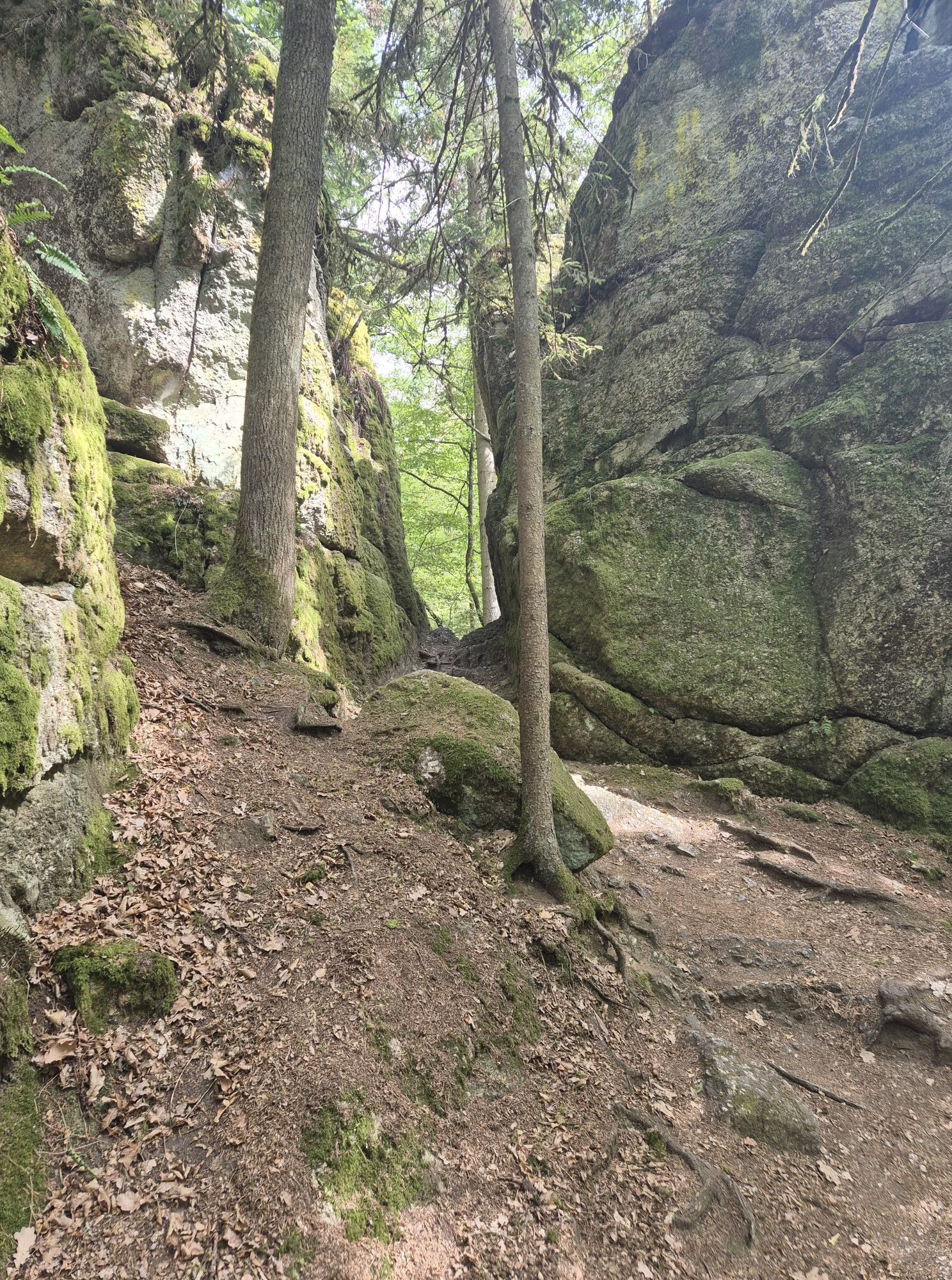
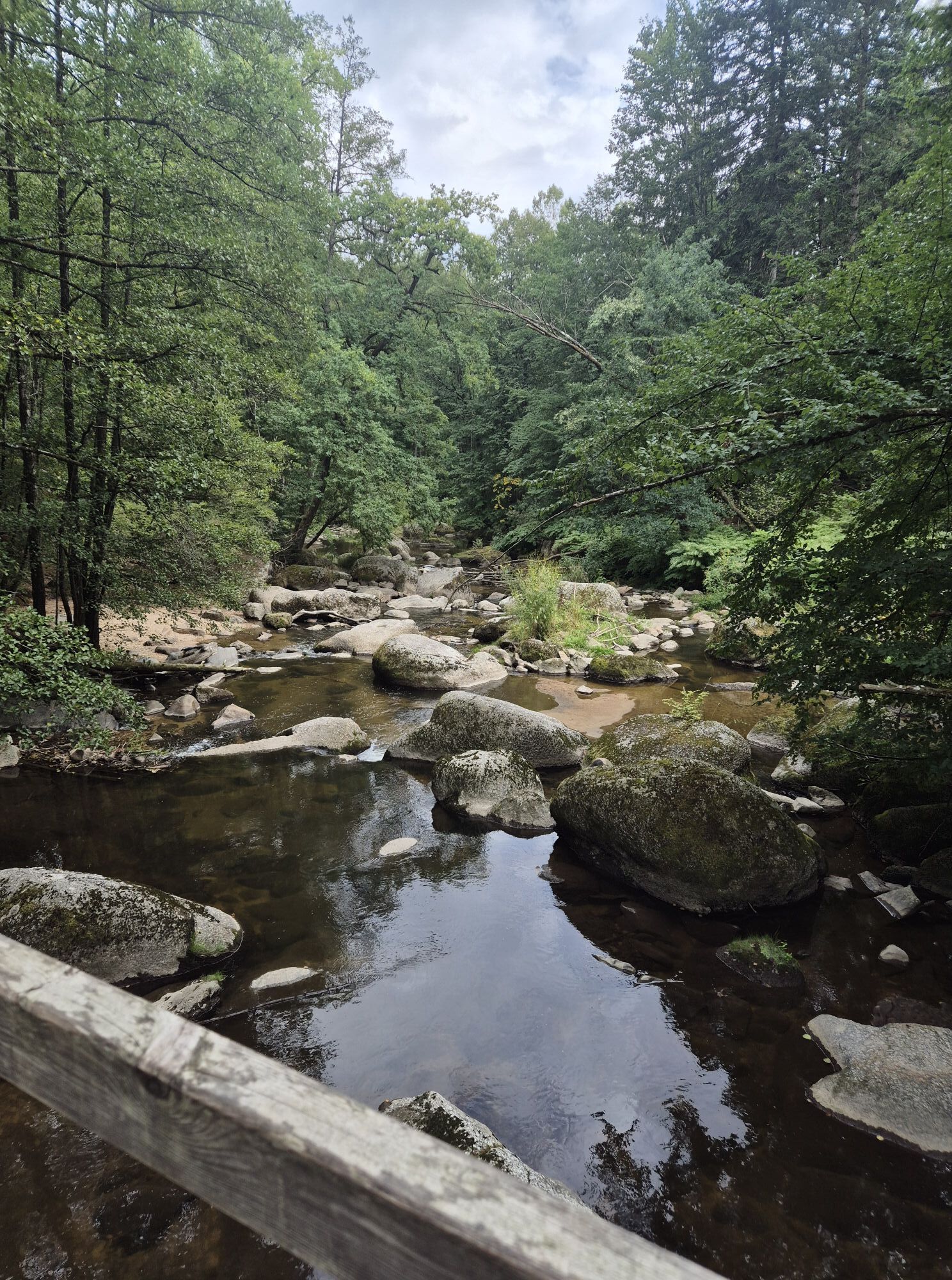
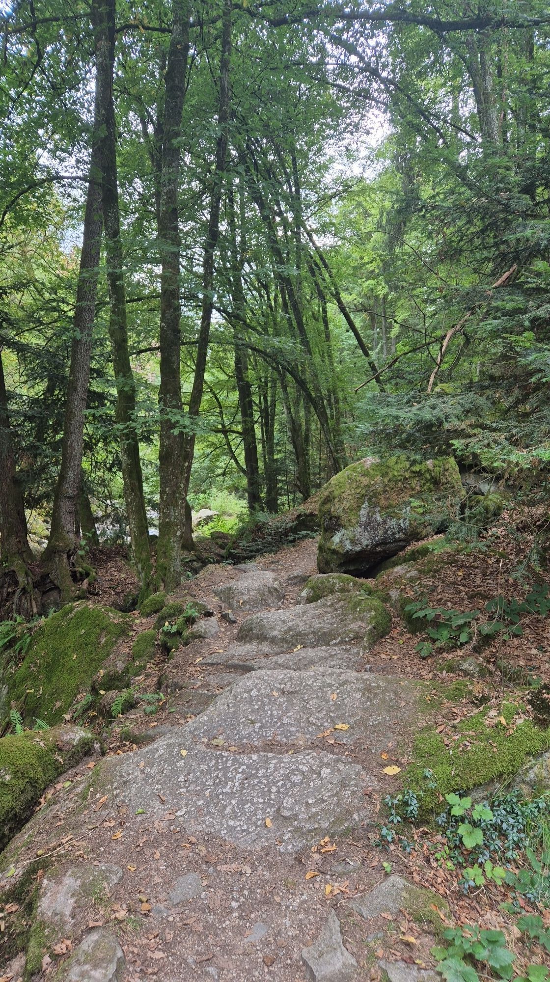
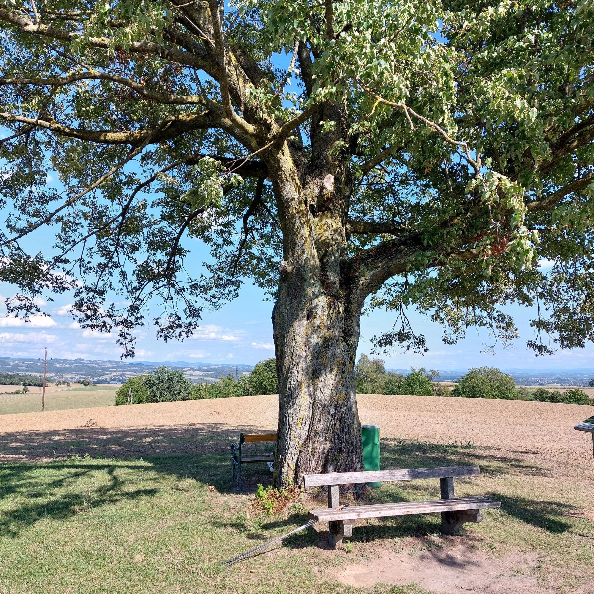
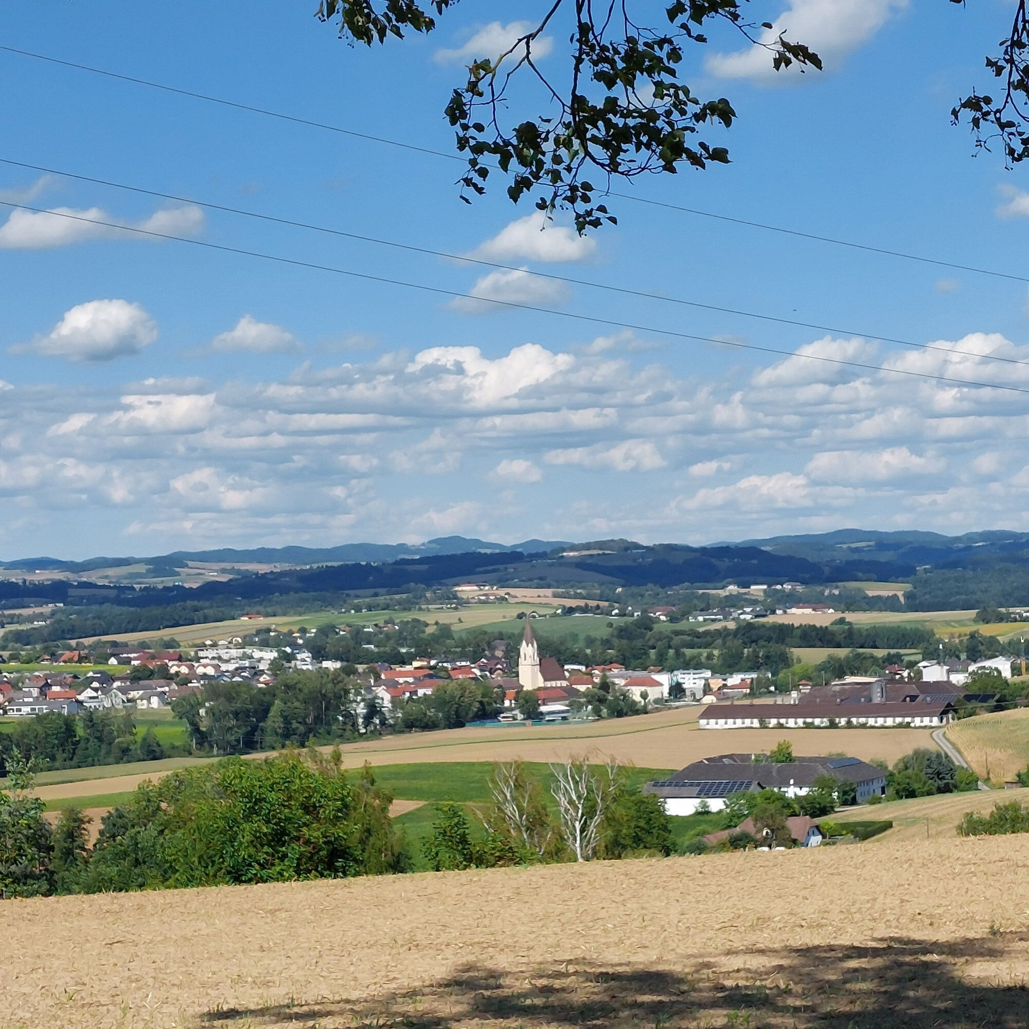
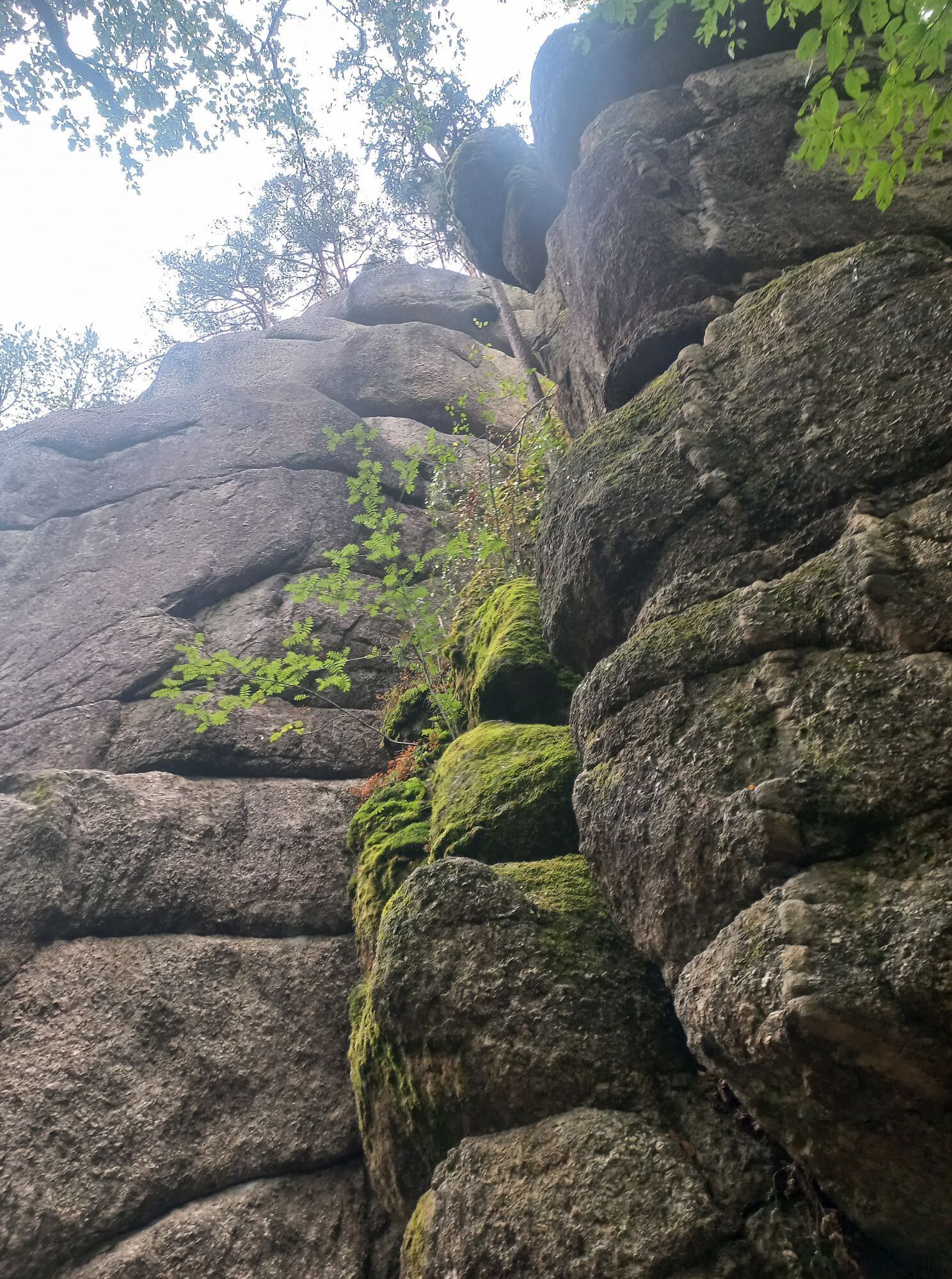
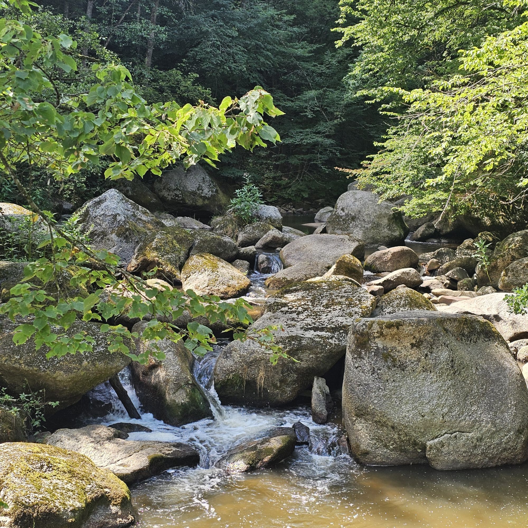
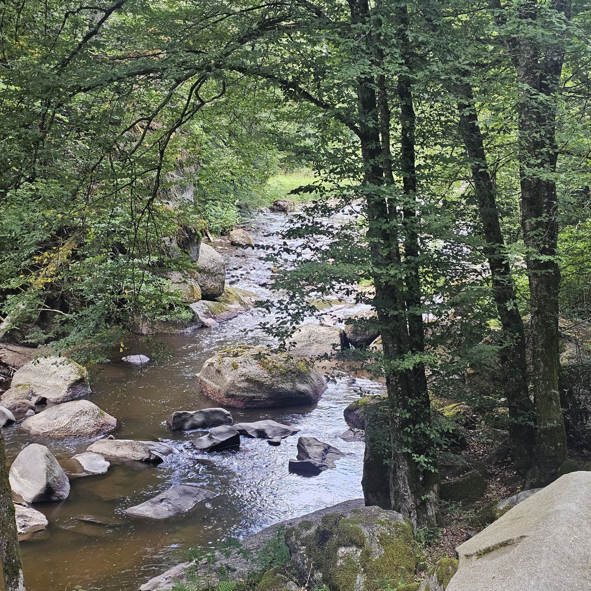
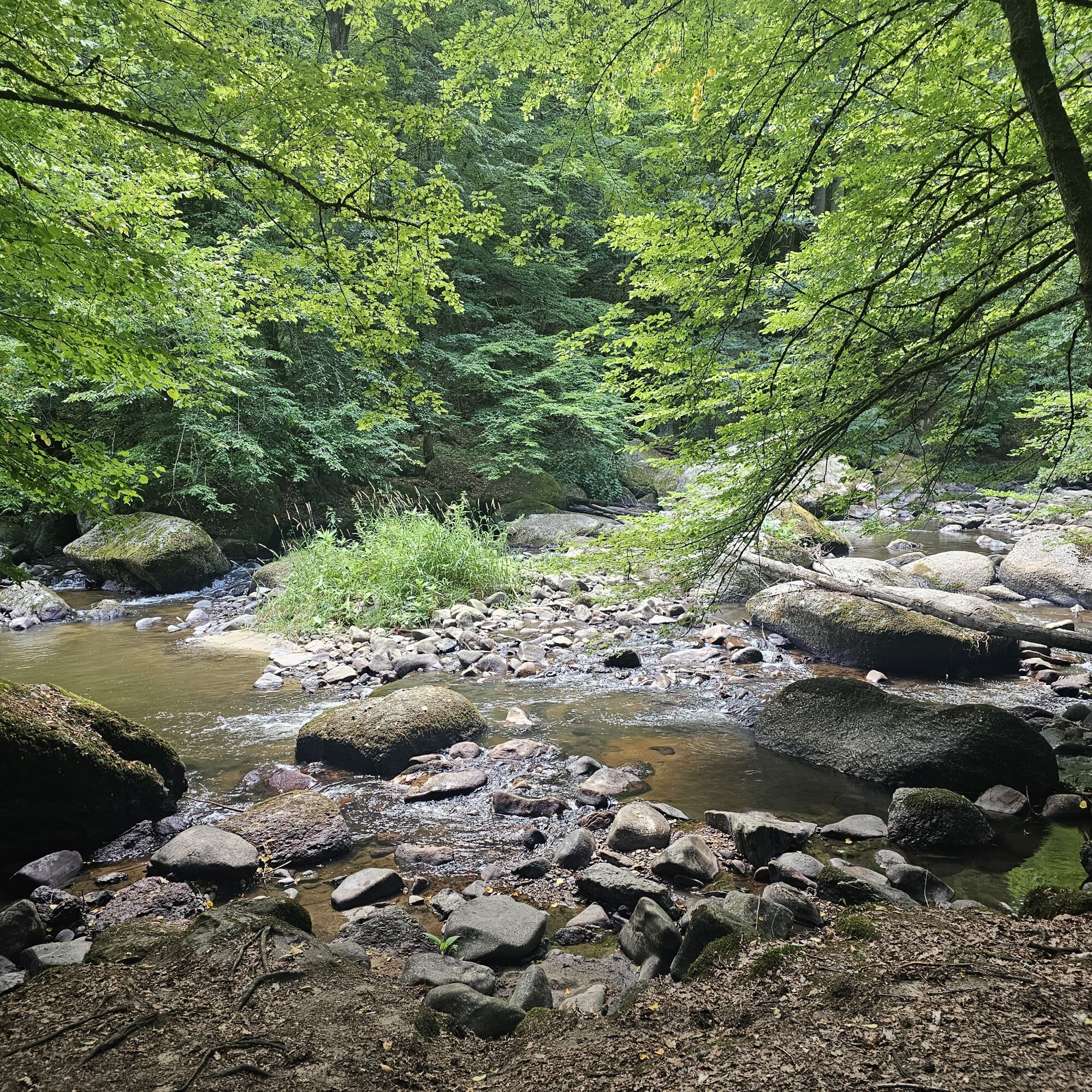
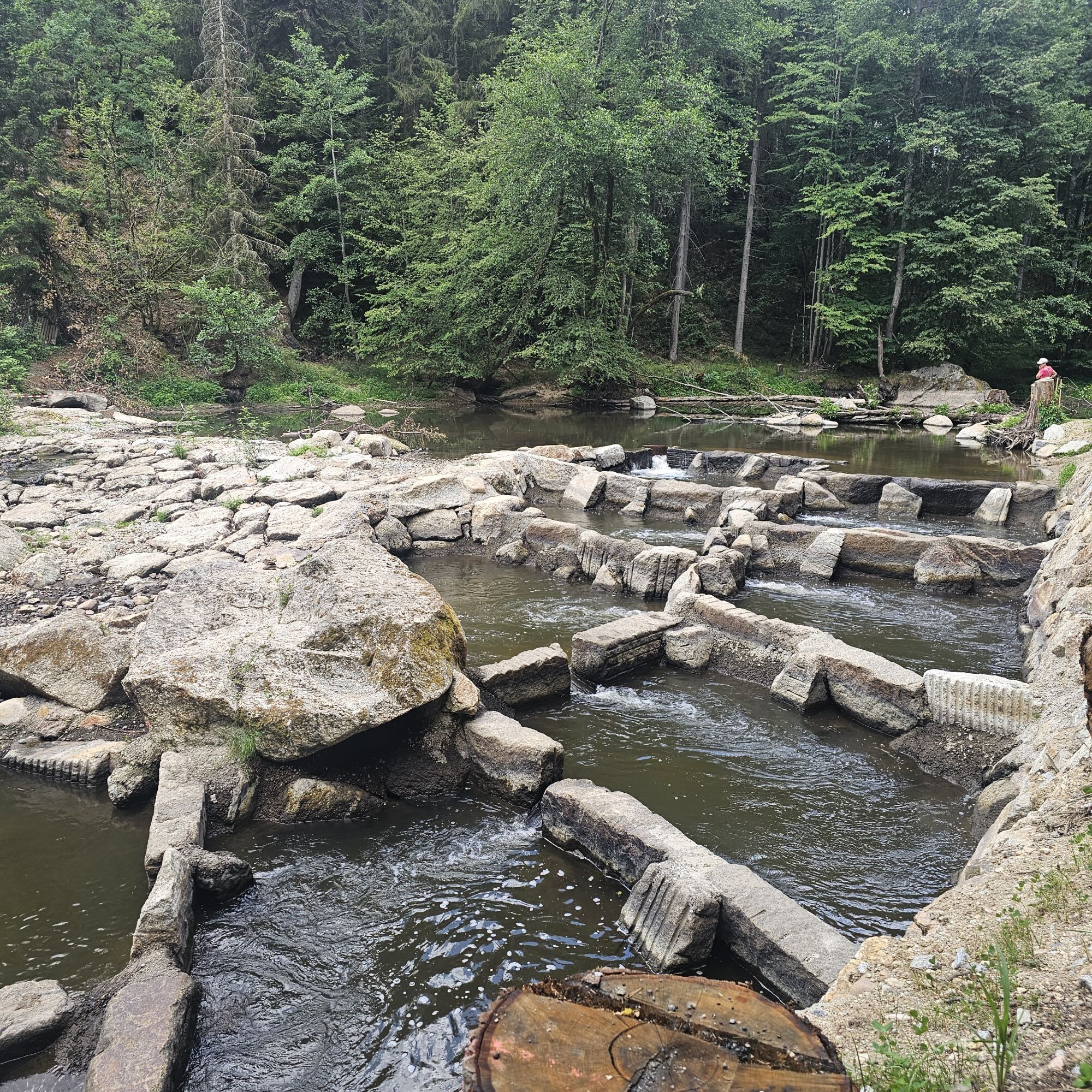
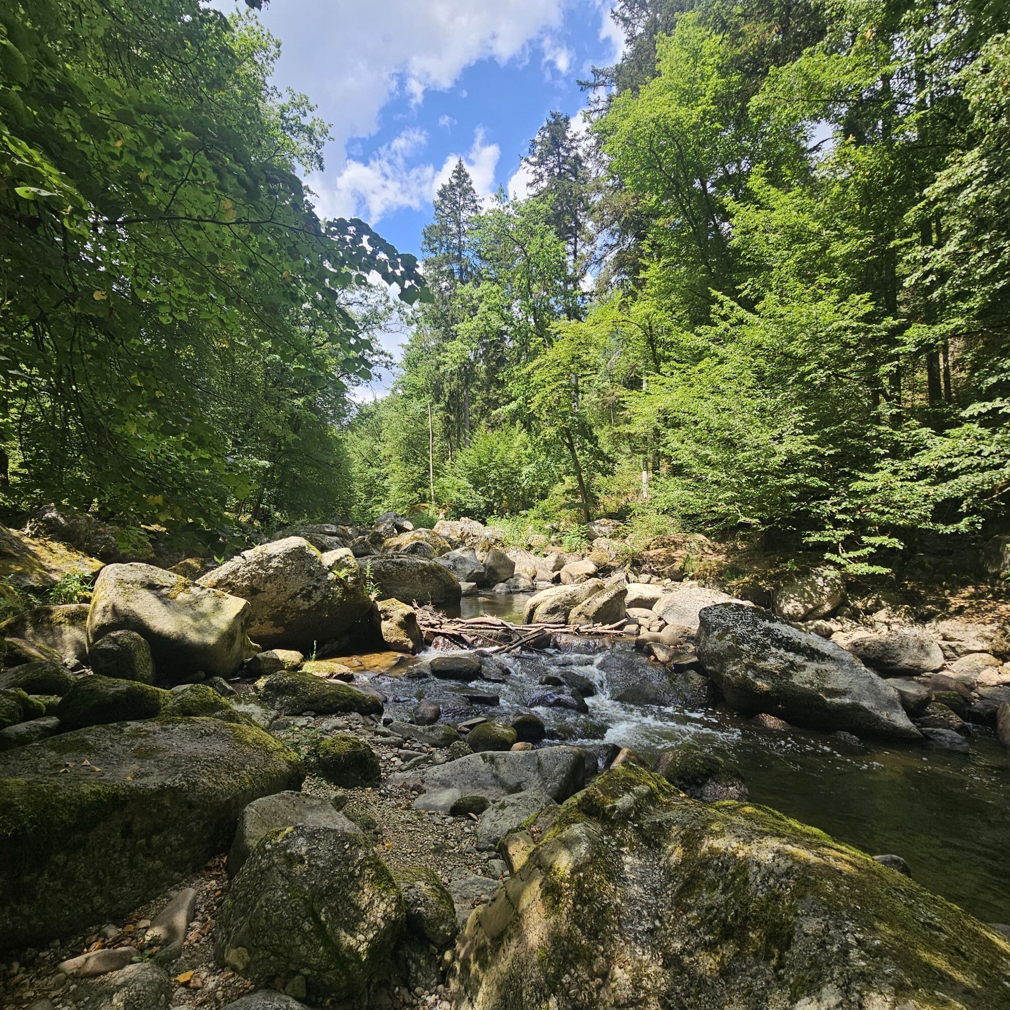
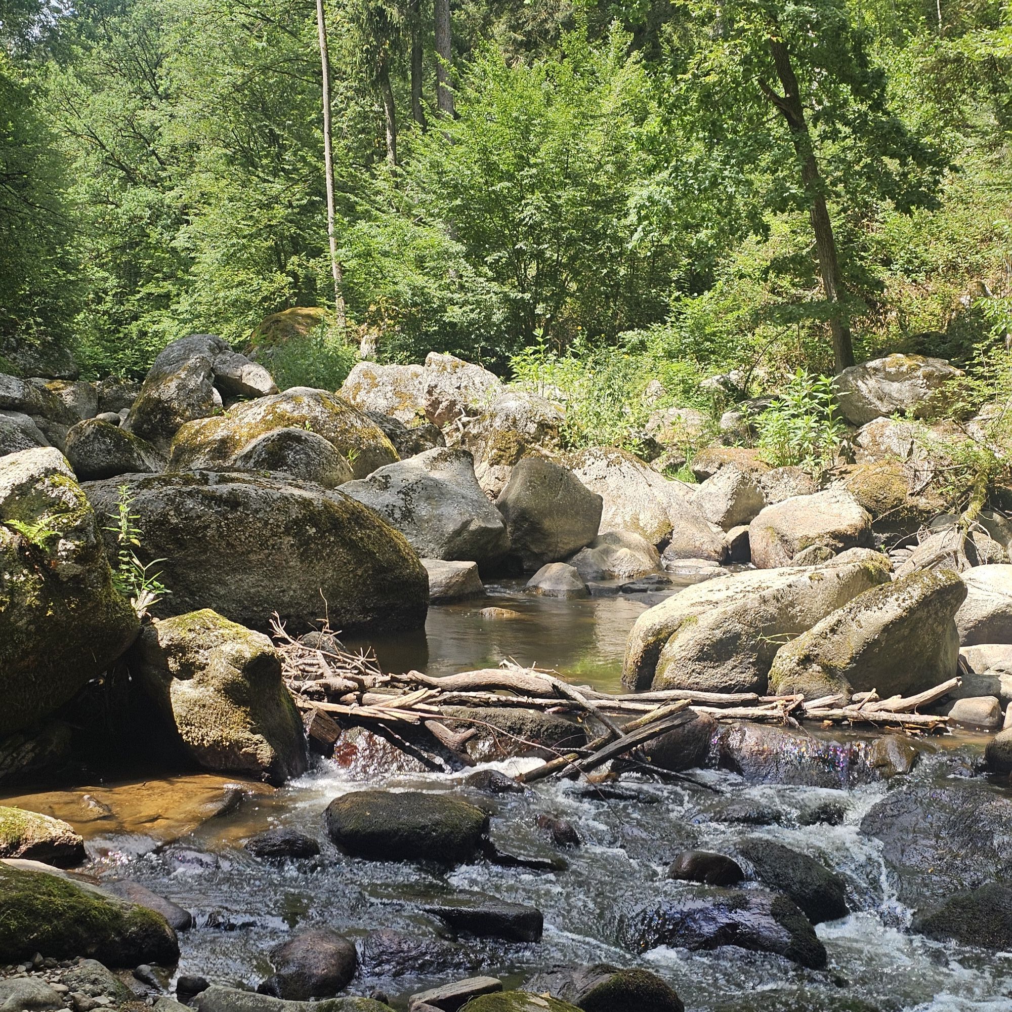


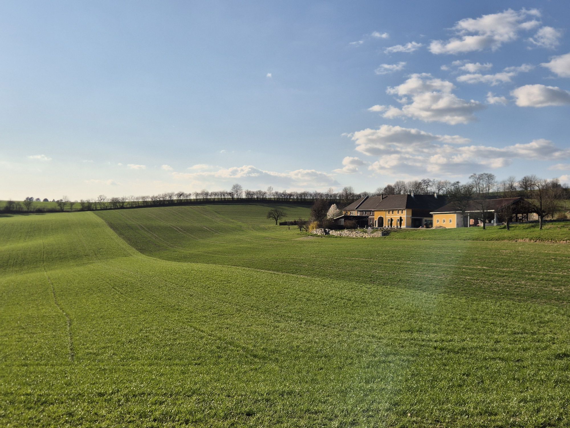
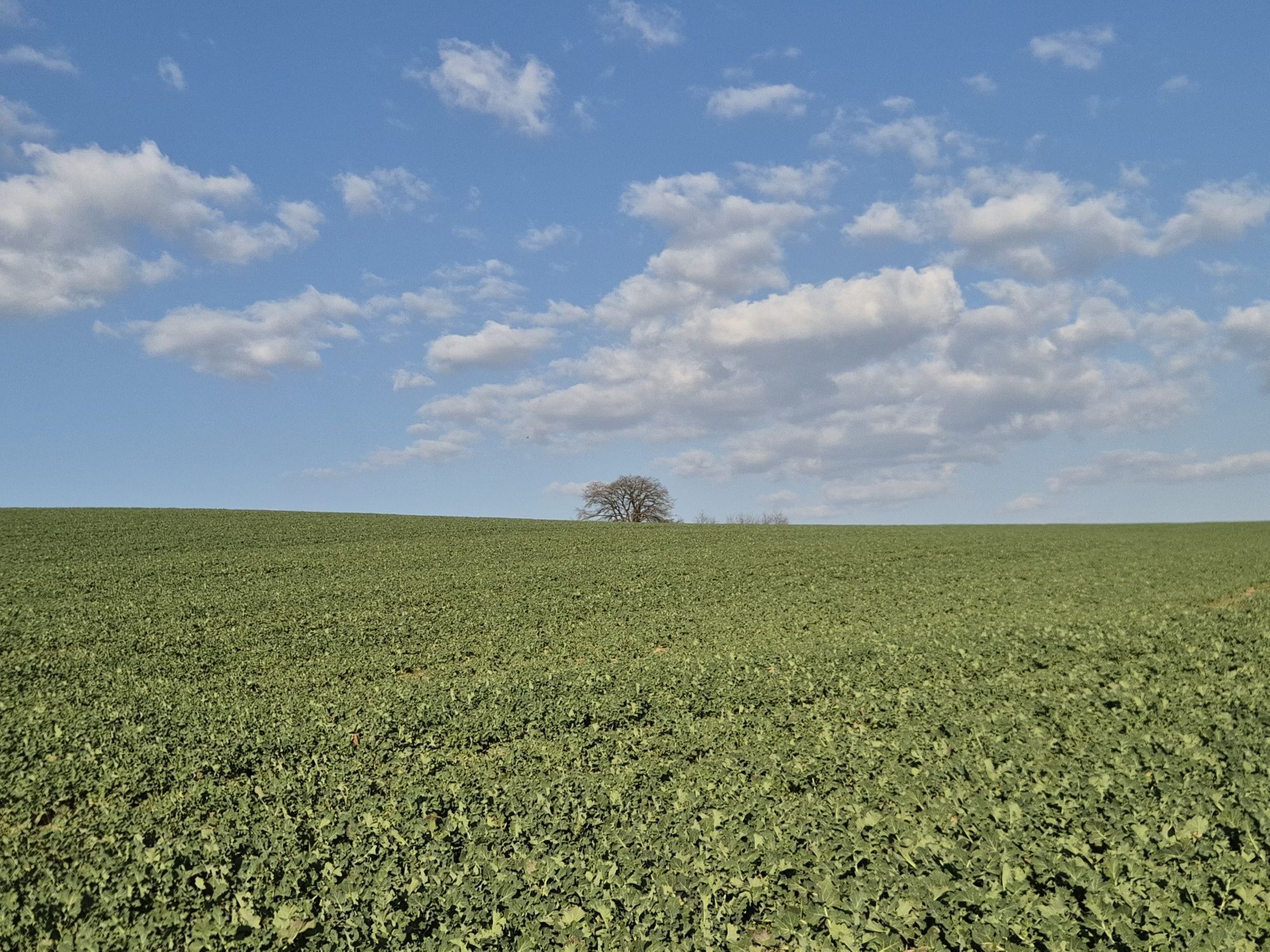
The route is marked throughout with red-white-red signs with the inscription "170". On the first two days, the route takes you through the young town of Pregarten an der Aist and the village of Kefermarkt...
Opis
The route is marked throughout with red-white-red signs with the inscription "170". On the first two days, the route takes you through the young town of Pregarten an der Aist and the village of Kefermarkt with its world-famous winged altar and Weinberg Castle. The third day's stage leads over the Buchberg and the Braunberg with wonderful views of the Mühlviertel. The last stage leads to Liebenau and then to Karlstift in Lower Austria. The bus takes you back to Mauthausen.
Pot
Gmünder Hütte
(972 m)
Zavetišče
0.0 km
Brockenberg
(1,053 m)
Vrh
16.5 km
Wienau
(884 m)
Poravnava
24.9 km
Ostgipfel Braunberg
(912 m)
Vrh
39.0 km
Pfarrkirche Kefermarkt
(516 m)
Kraj čaščenja
47.3 km
Klettergarten Jungfernsprung
(352 m)
Vrh
63.1 km
Pfarrkirche Ried in der Riedmark
(306 m)
Kraj čaščenja
75.1 km
Pot
Mühlviertler Naturfreundeweg Nr. 170
srednja
Pohodništvo
81.35
km
Gmünder Hütte
(972 m)
Zavetišče
0.0 km
Pfarrkirche St. Karl Borromäus
(935 m)
Kraj čaščenja
0.6 km
Karlstift
(938 m)
Vas
0.6 km
Gasthof Zeiler
(921 m)
Restavracija
1.0 km
Reichenauerwald
(946 m)
Koridor/teren
5.5 km
Im Kammbach
(904 m)
Koridor/teren
12.2 km
Liebenau
(970 m)
Vas
14.9 km
Hotel Rockenschaub
(1,000 m)
Restavracija
15.0 km
Brockenberg
(1,053 m)
Vrh
16.5 km
Koblberg
(1,048 m)
Vrh
17.6 km
Jankusmauer
(1,017 m)
Vrh
20.0 km
Gasthaus Frisch
(985 m)
Restavracija
20.1 km
Liebenstein
(987 m)
Vas
20.2 km
Hoisn Kapelle
(871 m)
Kraj čaščenja
24.9 km
Wienau
(884 m)
Poravnava
24.9 km
Eipoldschlag
(780 m)
Poravnava
26.9 km
Windgföll
(772 m)
Poravnava
27.9 km
Harrachstal
(755 m)
Poravnava
29.9 km
Amesreith
(848 m)
Poravnava
33.0 km
Gasthaus Wurm
(877 m)
Restavracija
35.5 km
Neudorf
(868 m)
Poravnava
35.5 km
March
(824 m)
Poravnava
36.6 km
Stiftungsberg
(825 m)
Poravnava
37.5 km
Witzelsberg
(851 m)
Poravnava
38.5 km
Ostgipfel Braunberg
(912 m)
Vrh
39.0 km
Braunberg
(912 m)
Vrh
39.2 km
Buchberg
(813 m)
Vrh
43.7 km
Buchberg Hütte
(782 m)
Zavetišče
43.9 km
Grieb
(654 m)
Poravnava
44.9 km
Pfarrkirche Kefermarkt
(516 m)
Kraj čaščenja
47.3 km
Kefermarkt
(508 m)
Vas
47.3 km
Klammuehle
(443 m)
Koridor/teren
51.6 km
Wörgersdorf
(441 m)
Poravnava
54.7 km
Aistzeit
(404 m)
Restavracija
58.9 km
Pregarten
(430 m)
Mesto
59.7 km
Klausmühle
(390 m)
Poravnava
60.9 km
Klettergarten Jungfernsprung
(352 m)
Vrh
63.1 km
Gasthaus Kriehmühle
(333 m)
Restavracija
63.4 km
Hochstraß
(445 m)
Poravnava
68.1 km
Wildberg
(344 m)
Poravnava
71.7 km
Grünau
(348 m)
Poravnava
73.4 km
Zeinersdorf
(320 m)
Poravnava
74.3 km
Bella Italia
(311 m)
Restavracija
74.9 km
Pfarrkirche Ried in der Riedmark
(306 m)
Kraj čaščenja
75.1 km
Ried in der Riedmark
(301 m)
Vas
75.2 km
Wimm
(332 m)
Poravnava
76.5 km
Marbach
(329 m)
Vas
77.5 km
Mauthausen
(244 m)
Vas
81.2 km
Avtor
Zagotavlja Destination Mühlviertel
Za ogled Mühlviertler Naturfreundeweg Nr. 170 poskrbi outdooractive.com.


Še ni pregledov
Priljubljeni izleti v okolici
-
4.4
Der Naturparkweg in Rechberg
srednjaPohodništvo 7.54 km -
4.8
Tragwein - Lebensquell-Runde
svetlobaPohodništvo 12.8 km -
4.8
Ruine Prandegg
srednjaPohodništvo 15.6 km -
4.7
Aisttalrundweg + P6
svetlobaPohodništvo 9.36 km -
4.6
3Gipfelweg 07 mit Klimaanpassungsthemen
srednjaPohodništvo 21.3 km -
4.4
Wartberg Ob der Aist, Natura Aist Trail Rundwanderung
svetlobaPohodništvo 8.37 km -
4.7
Unterweitersdorfer Sagenweg
svetlobaPohodništvo 5.87 km -
4.1
Wanderung Kefermarkt Buchberg
svetlobaPohodništvo 8.33 km -
4.0
Ruine Ruttenstein
svetlobaPohodništvo 12 km -
3.9
Brandtnerhöhe - Waltersberg Runde
svetlobaPohodništvo 9 km
Pohodništvo in sledenje

Zaradi več kot 550.000 predlogov izletov, podrobnih zemljevidov in intuitivnega načrtovanja poti je aplikacija obvezna oprema za vse ljubitelje narave.

Ne zamudite ponudb in navdiha za naslednje počitnice
Naročite se na novice
Napaka
Zgodila se je napaka. Prosimo, poskusite znova.
Zahvaljujemo se vam za prijavo
Vaš e-poštni naslov je bil dodan na poštni seznam.
Izleti po vsej Evropi
Avstrija
Švica
Nemčija
Italija
Slovenija
Francija
Nizozemska
Belgija
Poljska
Lihtenštajn
Češka
Slovaška
Španija
Chorvátsko
Bosna in Hercegovina
Luksemburg
Andora
පෘතුගාලය
අයිස්ලන්තය
එක්සත් රාජධානිය
අයර්ලන්තය
ග්රීසිය
ඇල්බේනියාව
North Macedonia
Malta
Norway
Montenegro
Moldova
කොසෝවො
හන්ගේරියානු සමුහාණ්ඩුව
San Marino
රුමේනියාව
එස්ටෝනියා
ලැට්වියාව
බෙලාරස්
සයිප්රස්
Lithuania
Serbia
බල්ගේරියාව
Monaco
ඩෙන්මාර්කය
Sweden
ෆින්ලන්තය


