







Unterretzbach Marterl Hiking Trail
Discover 15 Marterln and monuments in and around Unterretzbach
You will pass 15 Marterln:
Crosses in the church park in Unterretzbach
Schussberg Marter
St. Thaddaeus
St. Anthony of Padua
"Forgotten Lord"
...Discover 15 Marterln and monuments in and around Unterretzbach
You will pass 15 Marterln:
Crosses in the church park in Unterretzbach
Schussberg Marter
St. Thaddaeus
St. Anthony of Padua
"Forgotten Lord"
St. Florian and St. Nepomuk
Plague Marter
Marterl at the entrance to the Lower Mill Path
"White Crosses"
Retzer Marter
Radschmid "Marter"
Sindl Cross
"White Cross" - Raab Cross
Tip: The Angergärten in Unterretzbach
The green, fertile town center in Unterretzbach – once a common pasture area, today the setting for one of Austria's most beautiful Angergärten, experienced along a show garden path. From the garden pavilion, visitors start into the greenery. Along the gardens, display boards provide details about the gardens, their owners, and their history. Small "natural pharmacies" give unexpected insights into naturopathy, and six experience stations invite entertaining engagement with botany and climate: How does the plant communicate with the soil? What can the tamarisk do?

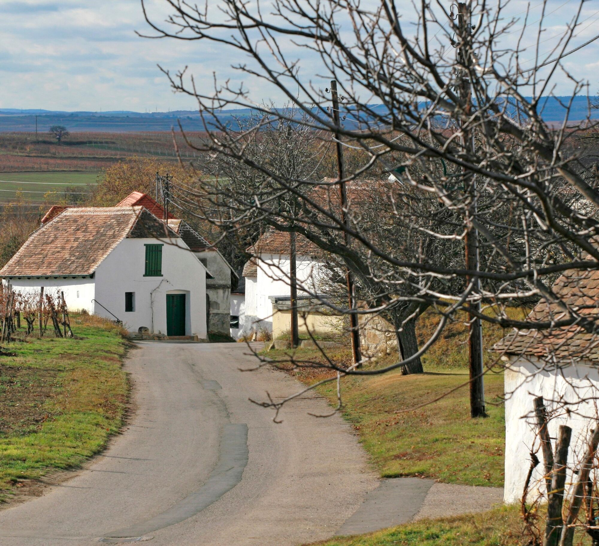
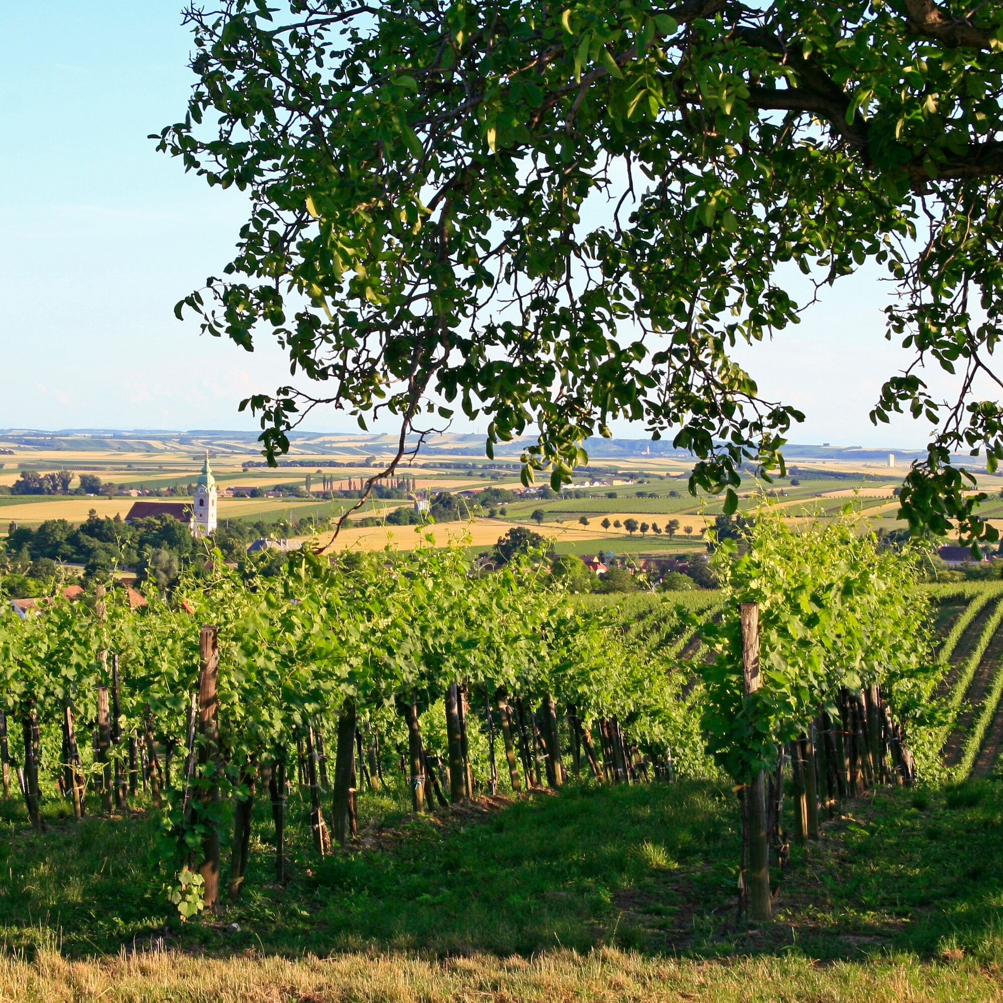
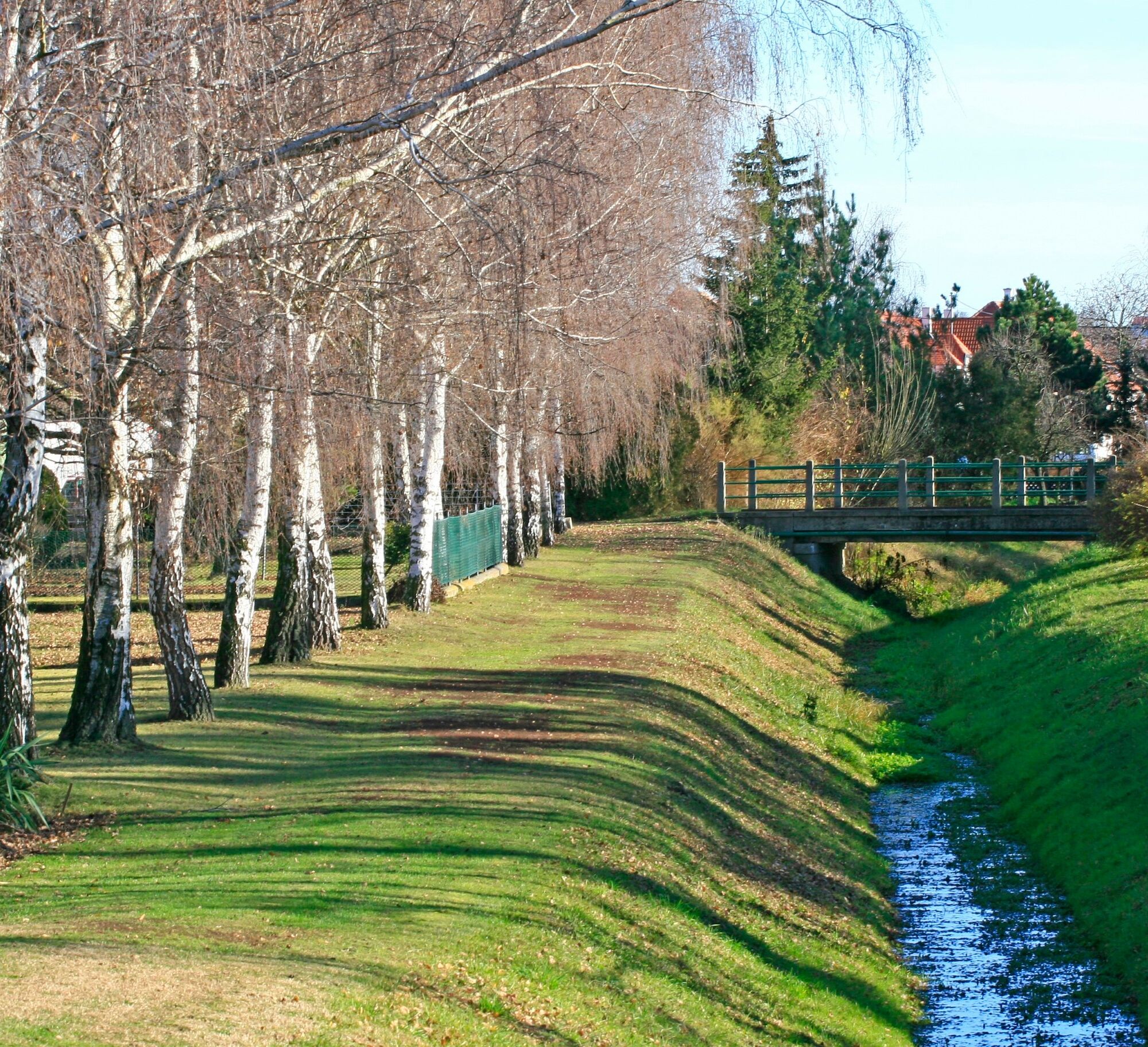
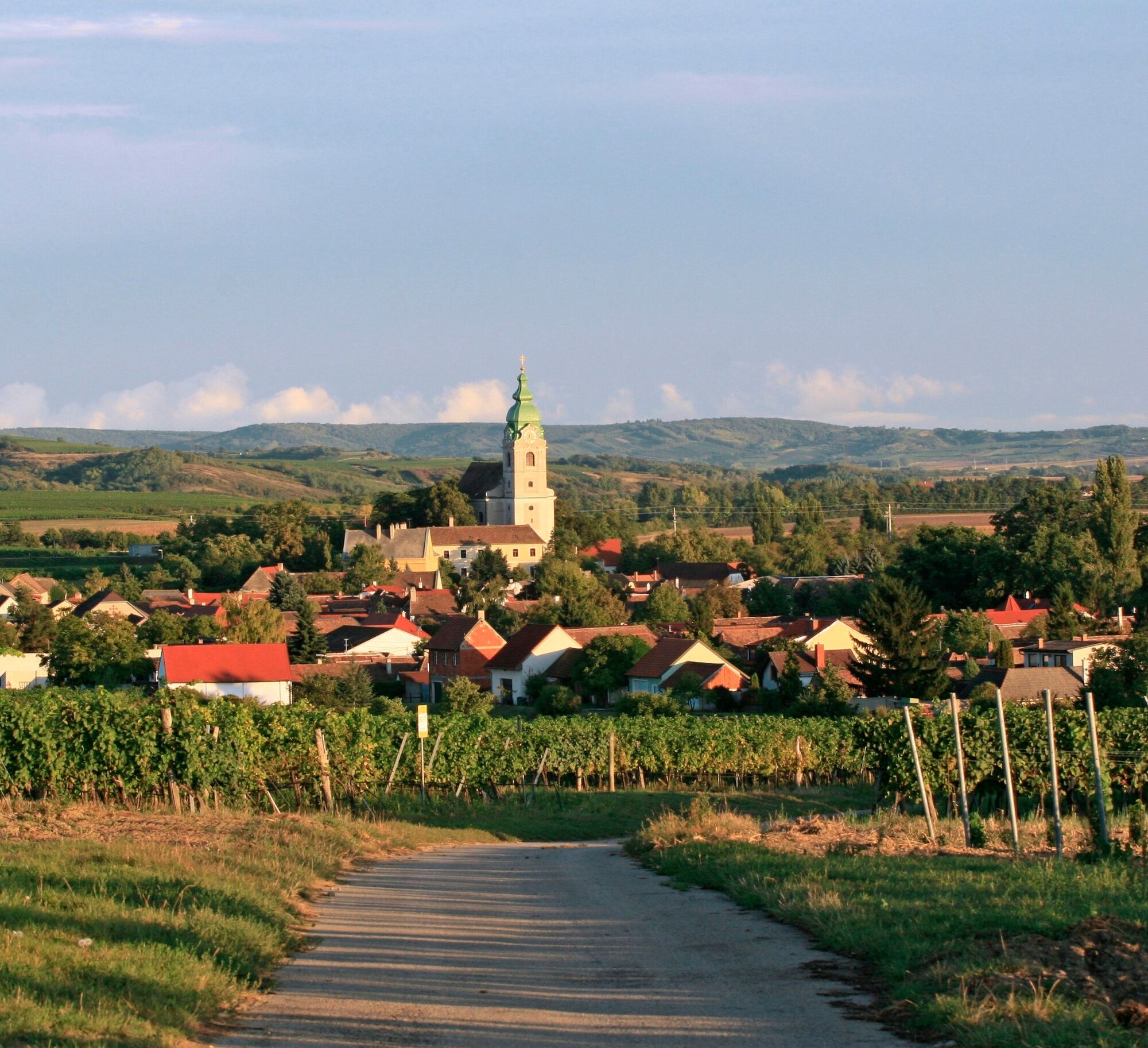

Church park - Crooked Path - towards St. Thaddaeus - towards St. Anthony - Fish pond path - towards war memorial Unterretzbach - Sterngasse - Lower and Upper Mill Path - Herrengasse - Maple path - Retzer path – towards Unterretzbach - Sun path - Spitzweg – Sports field path
Bus or train to Unterretzbach
Unterretzbach, town center
www.retzbach.gv.at
More detailed descriptions of the individual Marterln and the associated map are available free of charge at the municipal office in Unterretzbach.
 Pridobite vpogled Vedno v živo na mestu z več kot 9.500 spletnimi kamerami. bergfex Kot uporabnik Pro si lahko zdaj ogledate ustrezne spletne kamere za številne izlete v aplikaciji izleti iz. Tako si lahko neposredno ogledate trenutne razmere.
 Priljubljeni izleti v okolici
- 4.5
DAC Radtour-Weinviertel
srednjaKolesarjenje 55.1 km - 4.4
Rundwanderung Nationalpark THAYATAL
svetlobaPohodništvo 14.0 km - 5.0
Ruine Kaya - Thaya Aussichtspunkt
svetlobaPohodništvo 6.82 km - 4.5
Kellergassenrundwanderweg
srednjaPohodništvo 8.69 km - 4.5
Ruine Kaya
srednjaPohodništvo 12.5 km - 3.5
Portugieser-Radtour
Kolesarjenje 67 km - 2.6
Chardonnay-Radtour
Kolesarjenje 33.5 km - 4.7
Über NP Thaya zu historischen Städten / Etappe 2 Retz - Znaim
svetlobaPohodništvo 17.2 km - 4.0
»tut gut« Wanderweg Pulkau | Route 3
srednjaPohodništvo 6.52 km - 5.0
Steinbruchtour
srednjaPohodništvo 9.29 km
Pohodništvo in sledenje


Ne zamudite ponudb in navdiha za naslednje počitnice
Vaš e-poštni naslov je bil dodan na poštni seznam.





