


Schindauweg No. 227
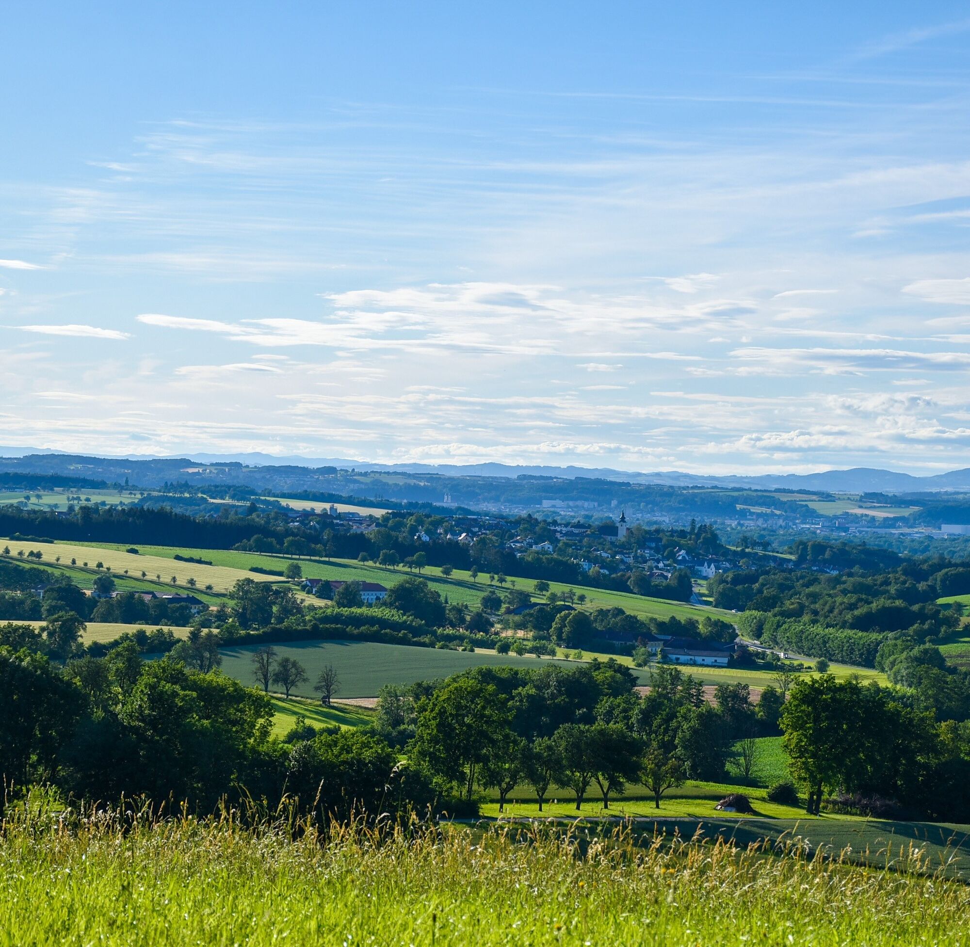
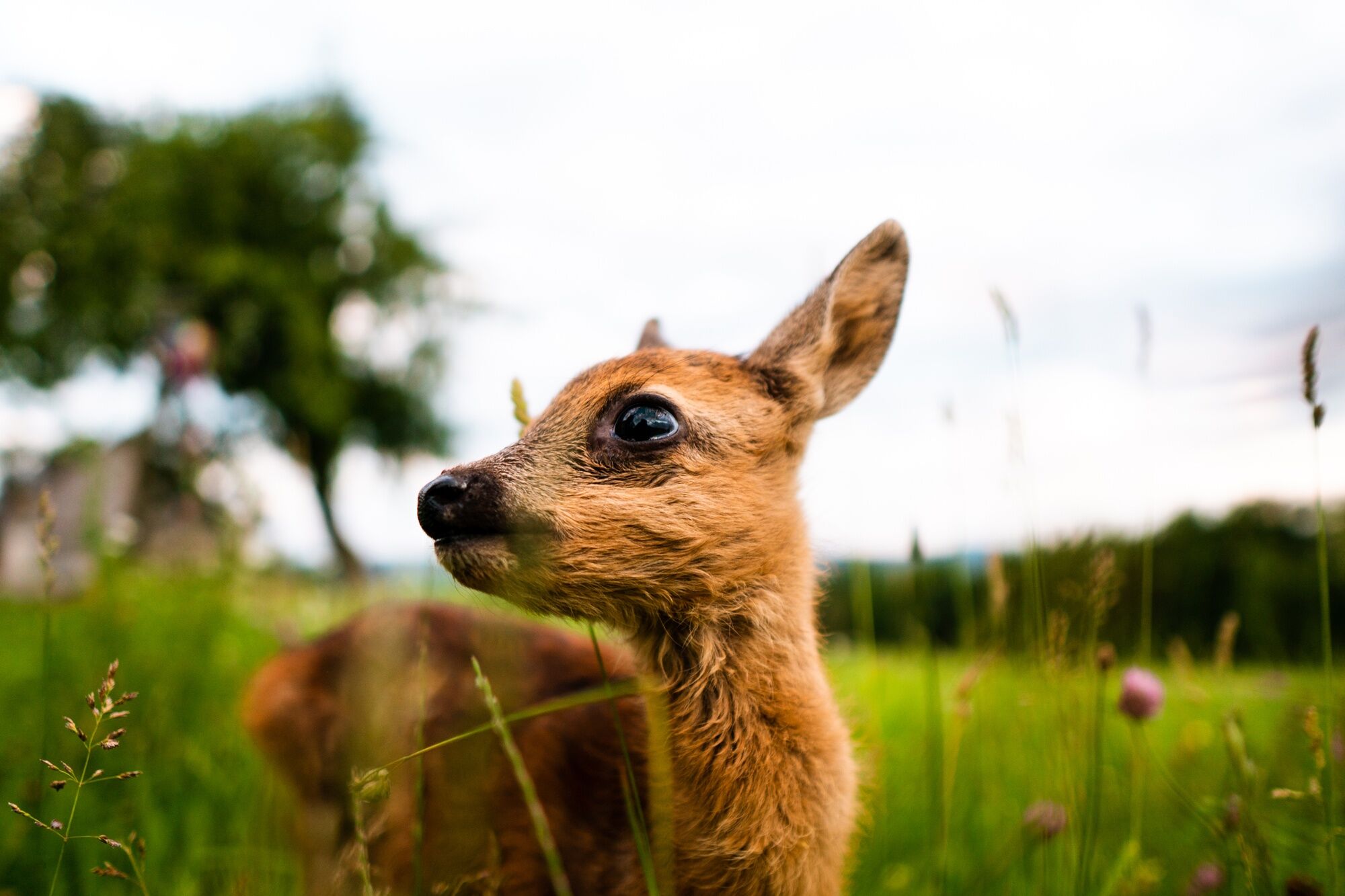
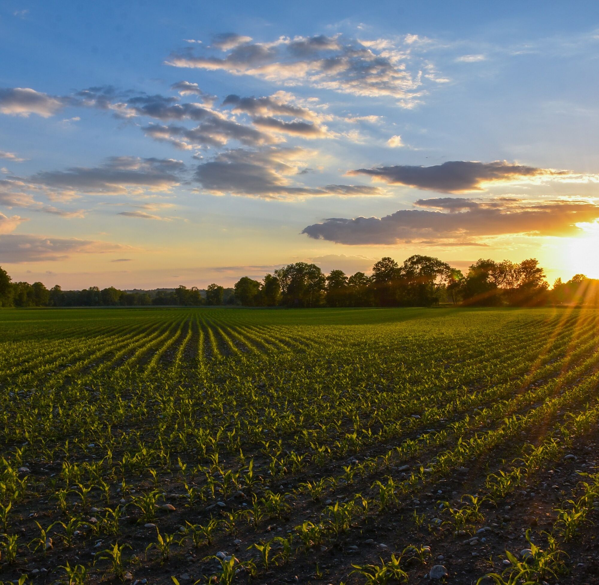
The predominantly flat circular hiking route leads along field and bike paths through the recreational areas Schindau and Karling and runs south along the Amstetten town boundary along the Zauchbach and...
The predominantly flat circular hiking route leads along field and bike paths through the recreational areas Schindau and Karling and runs south along the Amstetten town boundary along the Zauchbach and east along the Gafringbach.

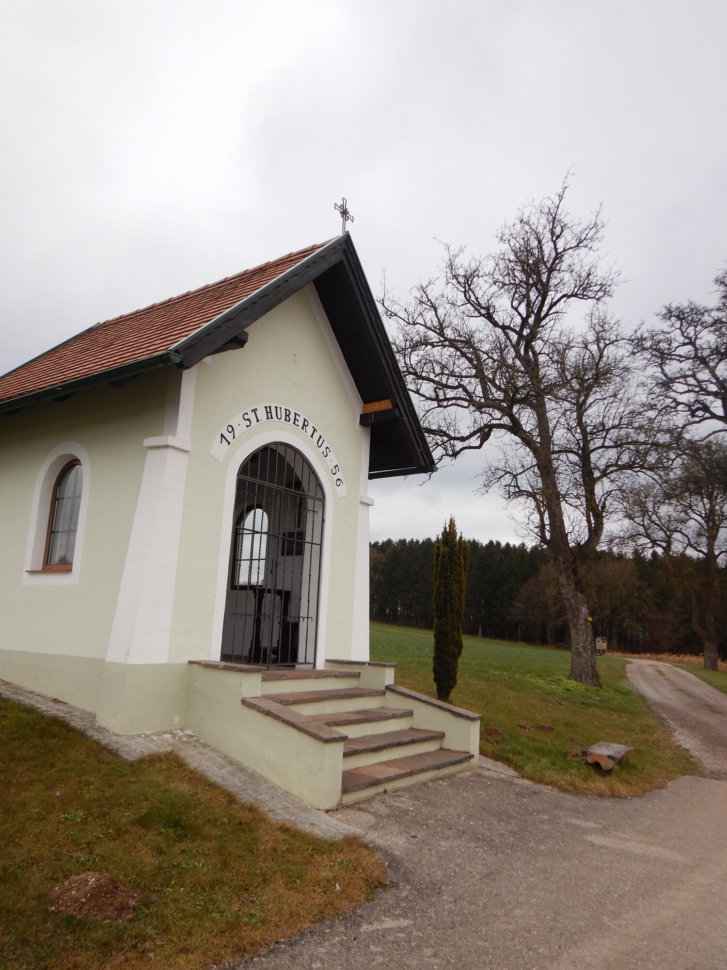
From the market square, we march along the main road to the fire station in Wassergasse, where at the crossing we turn right, a short stretch towards Amstetten, then left through Gewerbegasse down into the mill fields and into the Schindau. First over a concrete bridge and then a stone bridge, we leave Schindau heading south and cross the main road to then walk over the bridge up to the Edelmühle near Zederleiten. At the hunter’s chapel, we turn right and continue marching through the forest to Damberg. From there, it goes down to the main road LH 90 and on the bike and pedestrian path over Pichl roundabout into Haslau (mill) and further to Auberg. Now we walk near the Gafringbach through Karling northwards back to Euratsfeld. From the Stockschützenplatz, the route leads up the street via Bunnenweg into the town center to the starting point.
Da
Light hiking shoes/equipment recommended
From the A1 exit Amstetten West or Amstetten East via the B1 to Euratsfeld. The route is well signposted with "Euratsfeld" or "Randegg".
Take the train to Amstetten and from there the bus to Euratsfeld.
Parking is available in the town center at Mockplatz, Vetterplatz, and at the parish community center.
The Waidahammer chapel is easily accessible by a short detour of a few minutes. At the Pichl roundabout, near the Datzberger farmhouse, there is the mill educational trail, which describes in detail the traditional craft of millers and the 11 historic mills on the Zauch. Guided tours of the Haslawmill can be booked in advance at the municipal office.

Priljubljeni izleti v okolici
- 4.6
Brandstetterkogel über Matras Steig
svetlobaPohodništvo 6.28 km - 4.9
Reidlingberg - Gruber Kreuz - Hochkogel
svetlobaPohodništvo 10.0 km - 4.4
tut gut-Routen Hochkogelberg
Pohodništvo 11.0 km - 3.2
Rundwanderung Windhag - St. Leonhard - St. Aegidi
svetlobaPohodništvo 15.2 km - 4.7
Panoramastüberl - Hochkogel
svetlobaPohodništvo 6.45 km - 5.0
Waidhofen/Ybbs Bellevue Runde
srednjaMountainbike 41.5 km - 4.8
Panoramarunde Hengstberg mit Schihütte (Hengstberghütte)
srednjaPohodništvo 9.50 km - 4.0
Rundweg Nabegg-Schwarze Wand-Ruine Freyenstein
svetlobaPohodništvo 10.2 km - 3.5
Strudengaurunde
svetlobaKolesarjenje 41.9 km - 4.5
Rund um Neustadtl
srednjaKolesarjenje 53.8 km

Pohodništvo in sledenje


Ne zamudite ponudb in navdiha za naslednje počitnice
Vaš e-poštni naslov je bil dodan na poštni seznam.