


Wild Water Path Mariensee


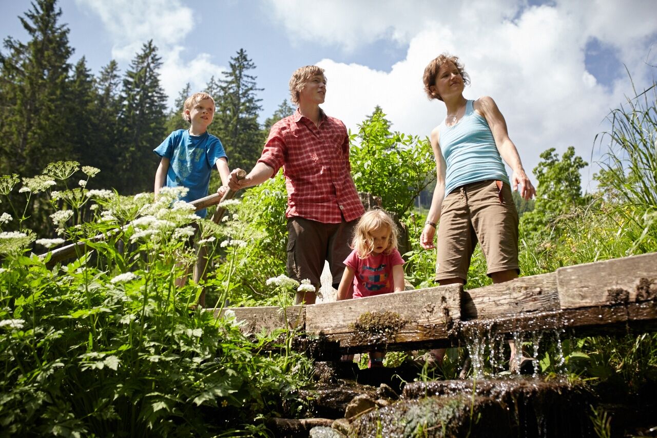
Numerous information boards with information and questions lead hikers, children and adults, to sometimes hidden places where the world of white water and its environment can be discovered and experienced....
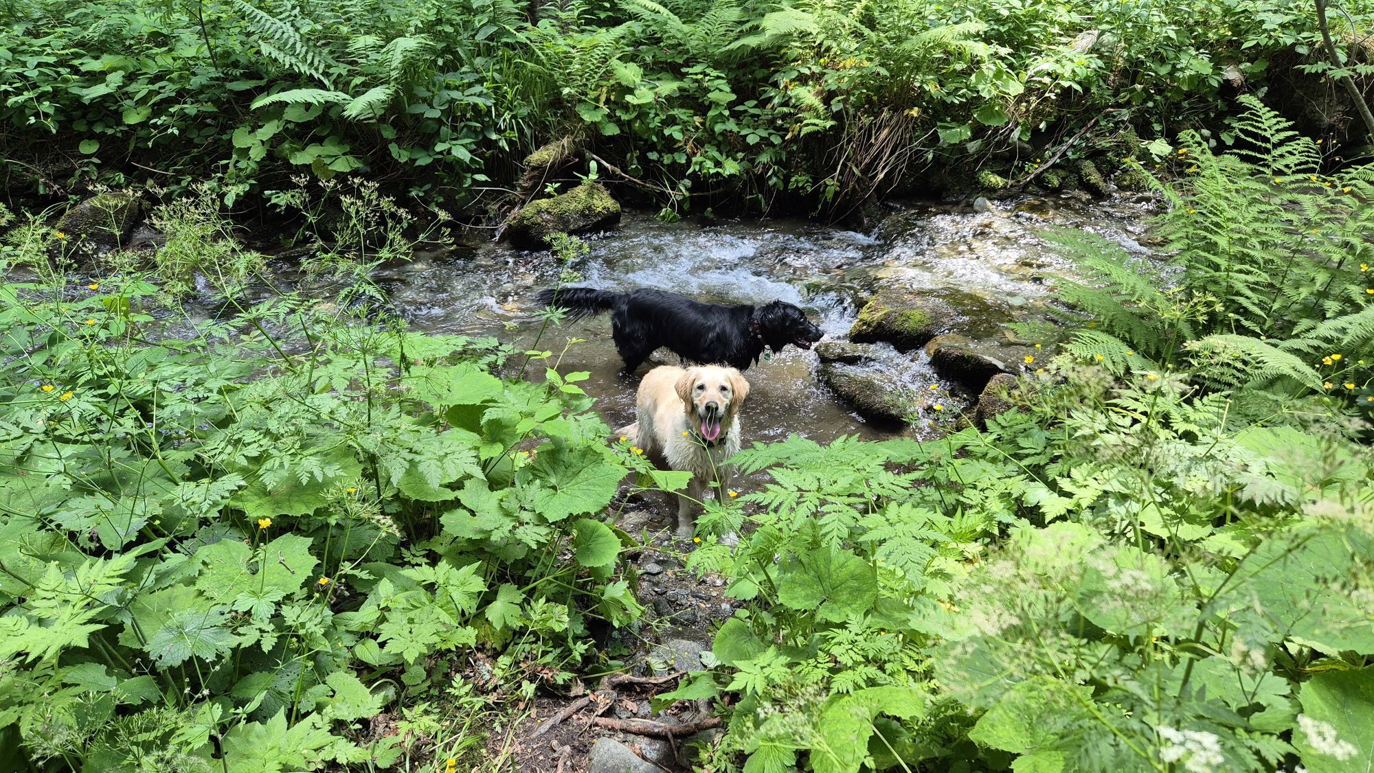
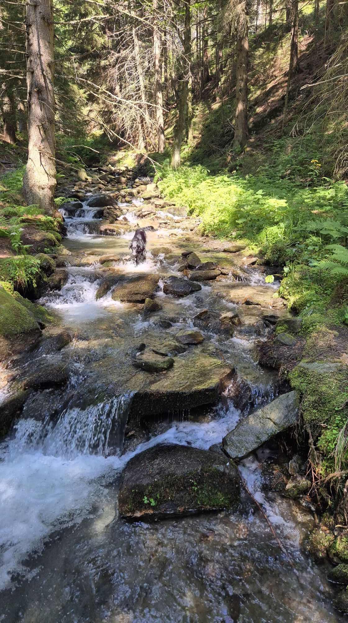
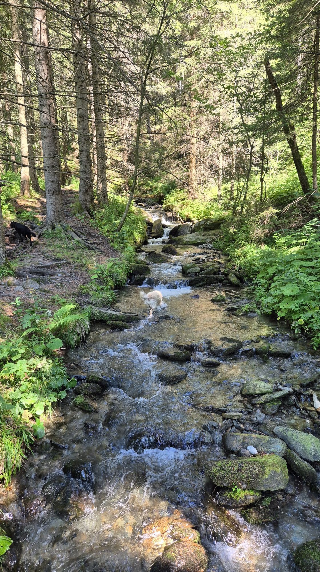
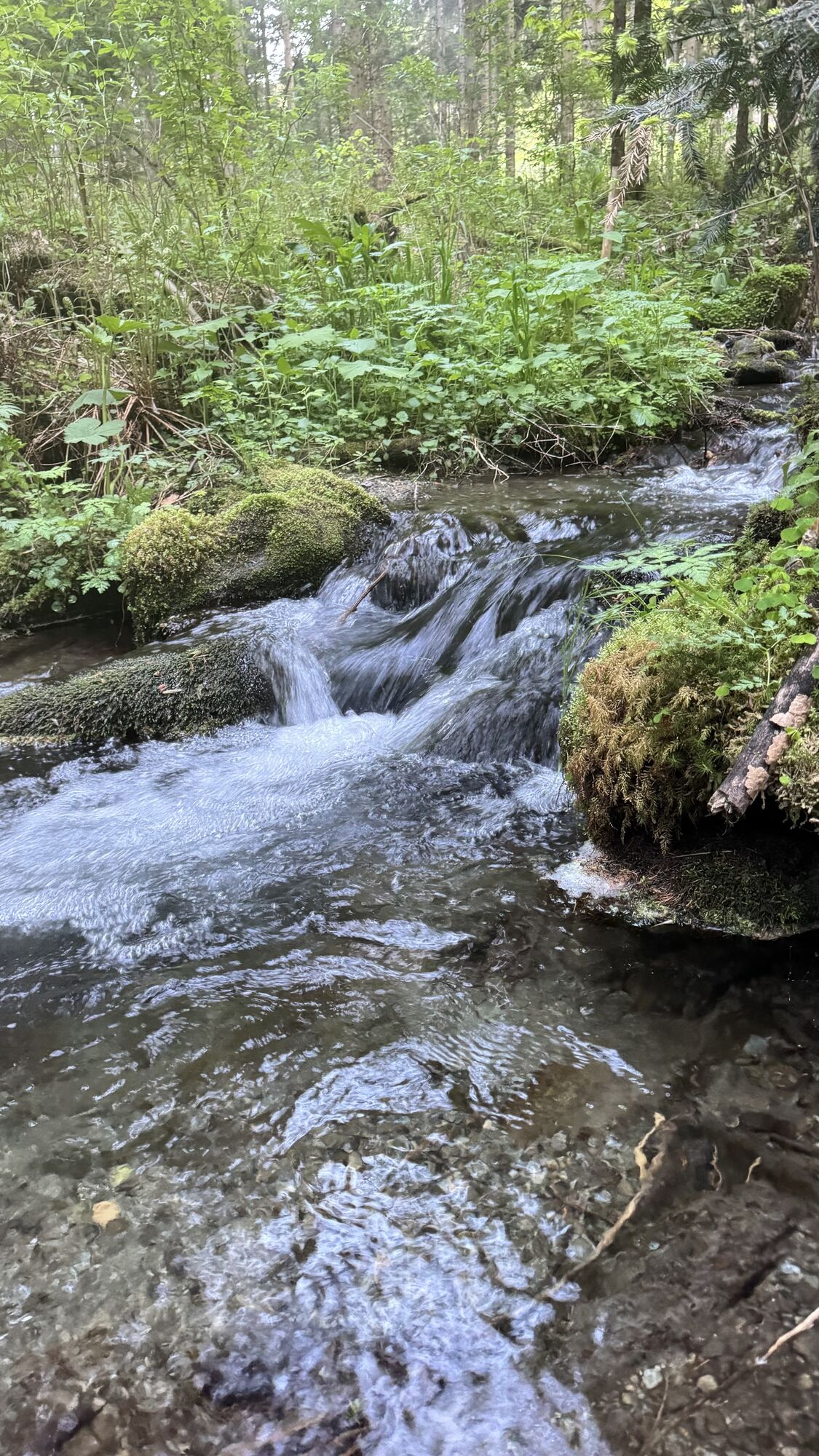
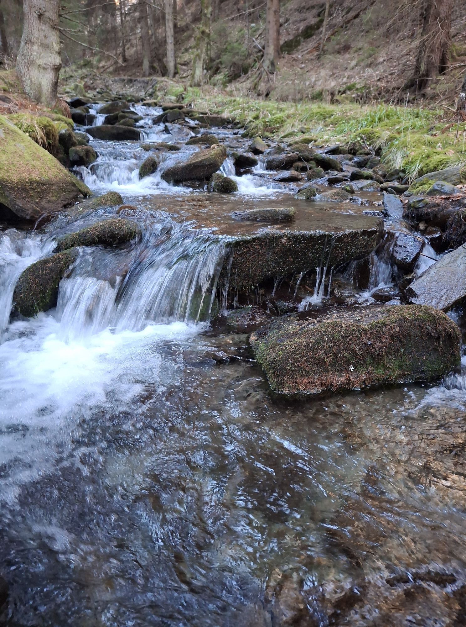
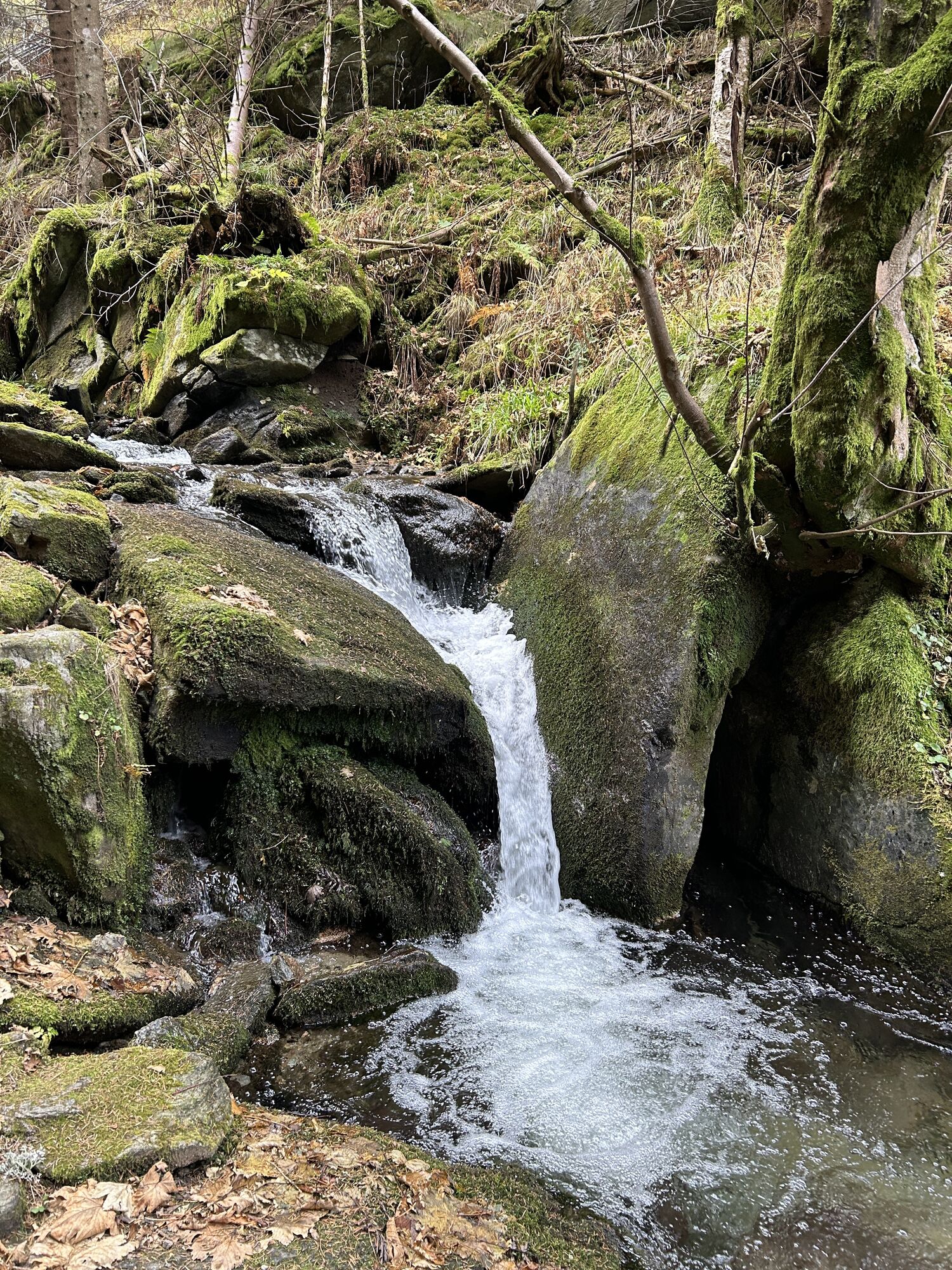
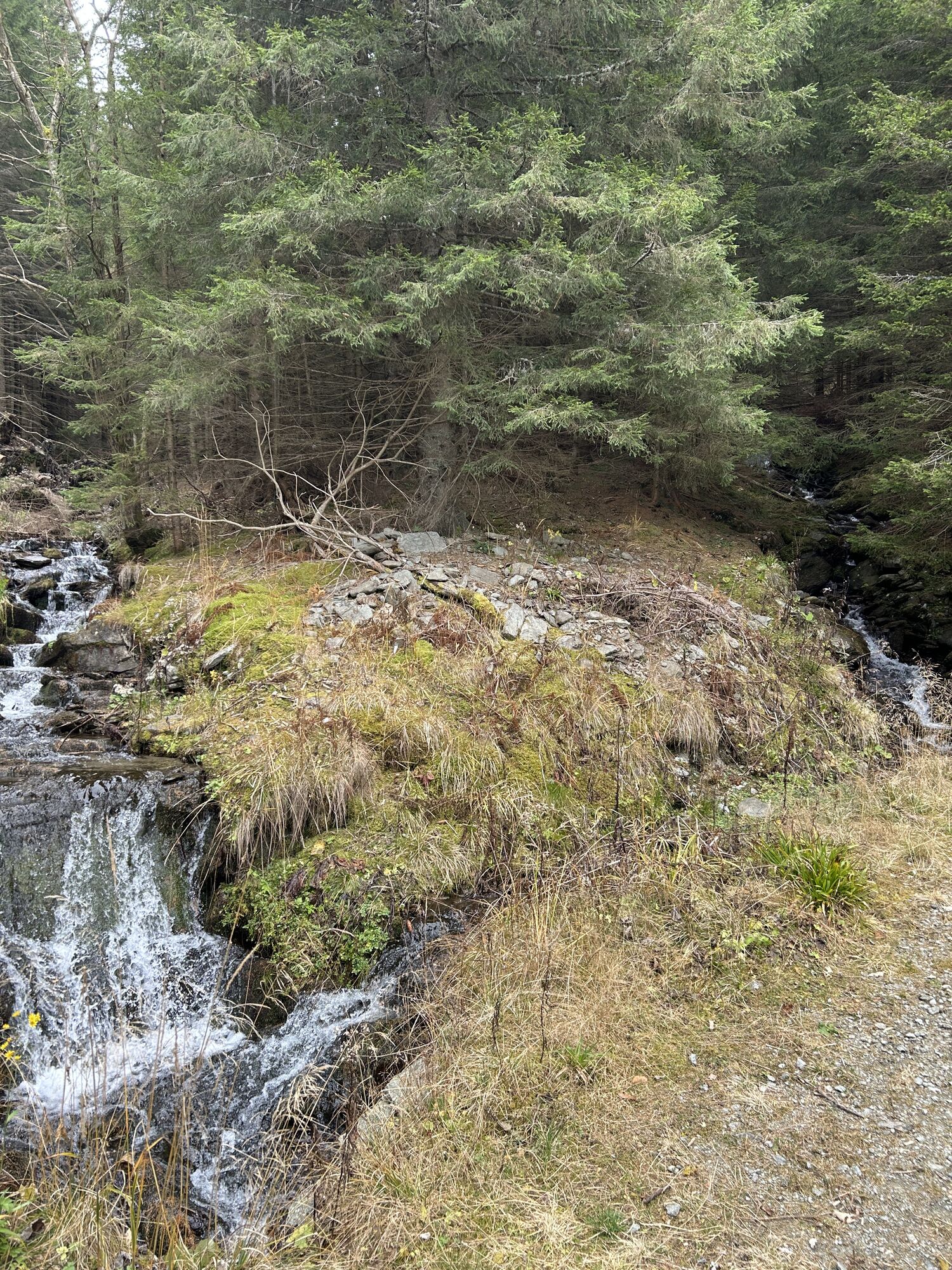
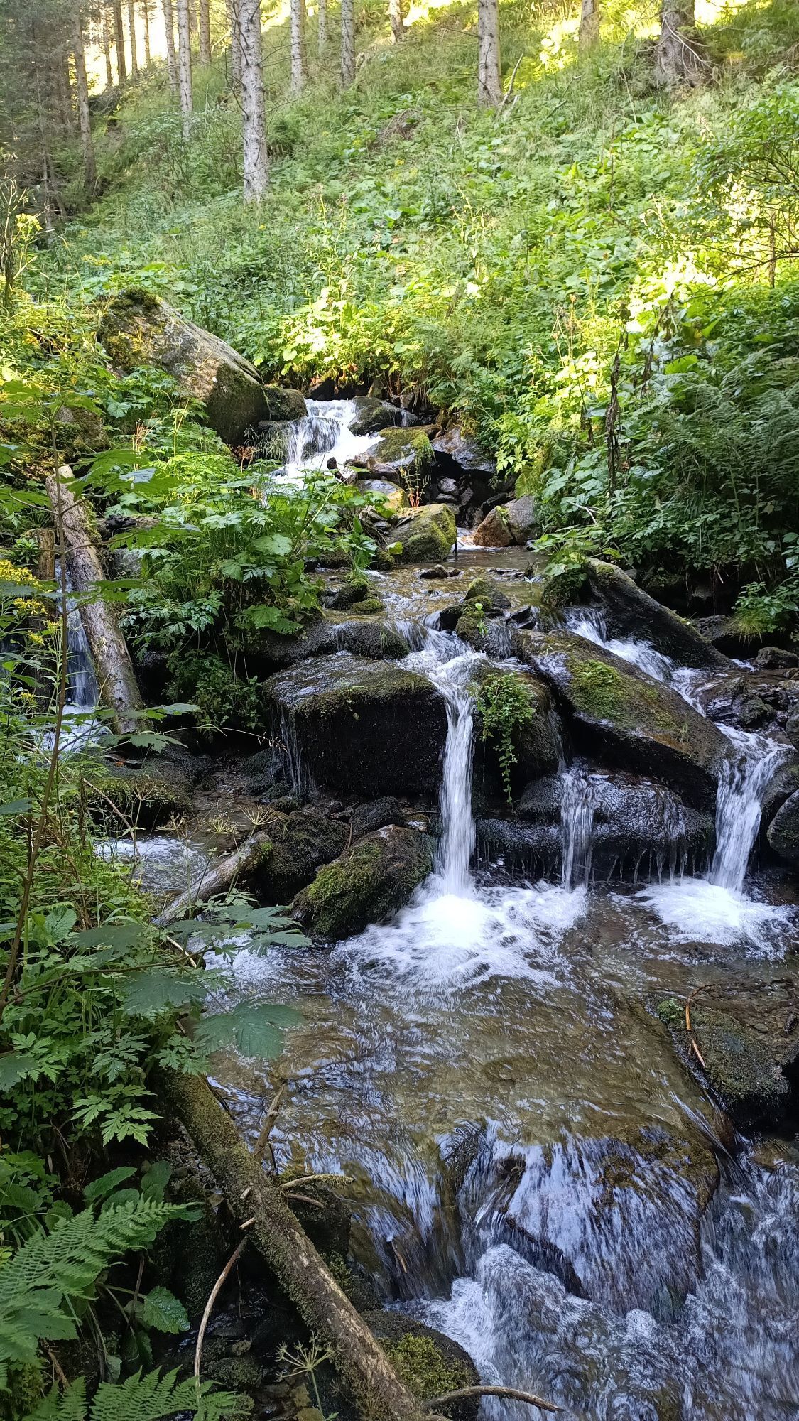
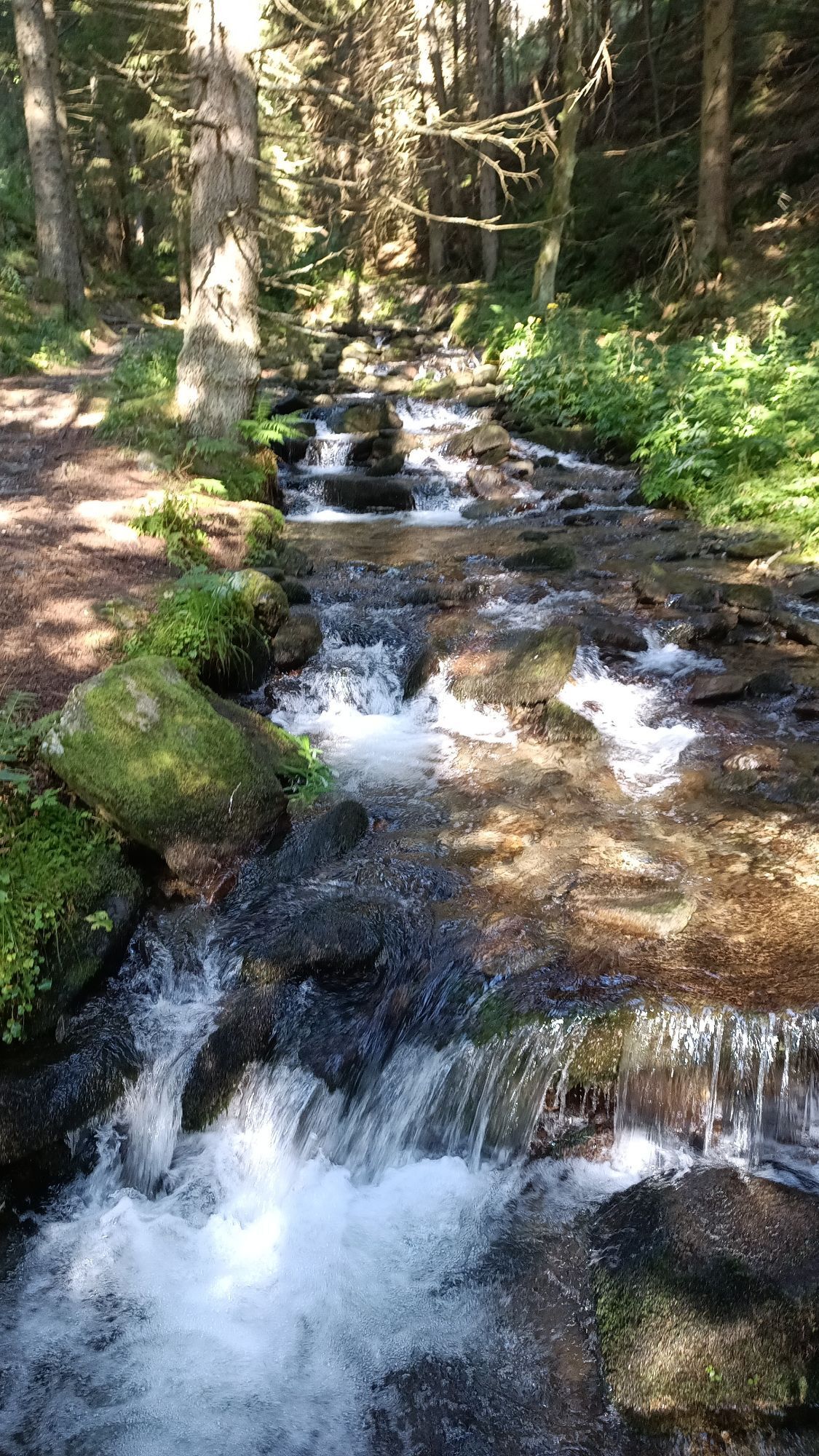
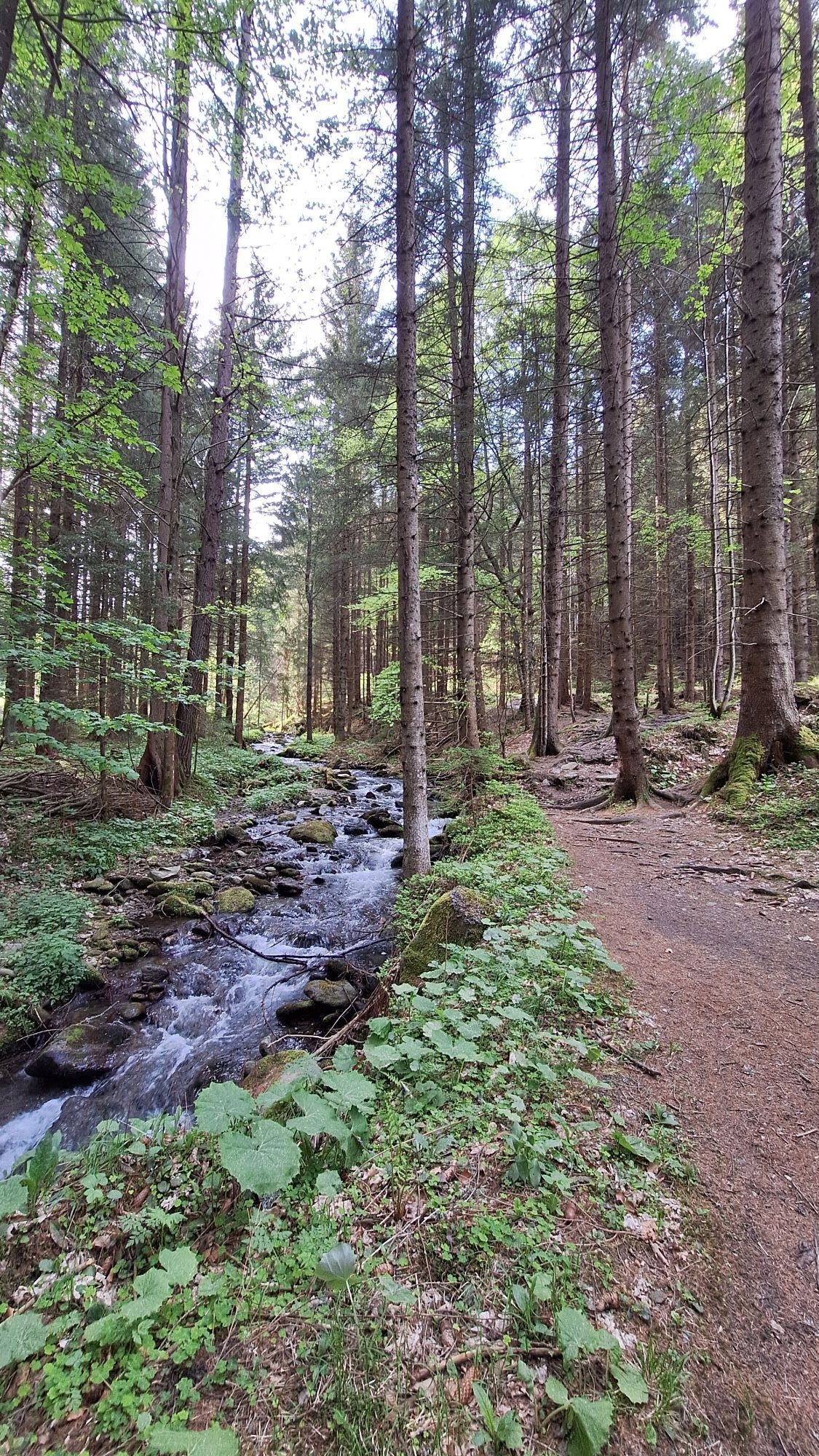
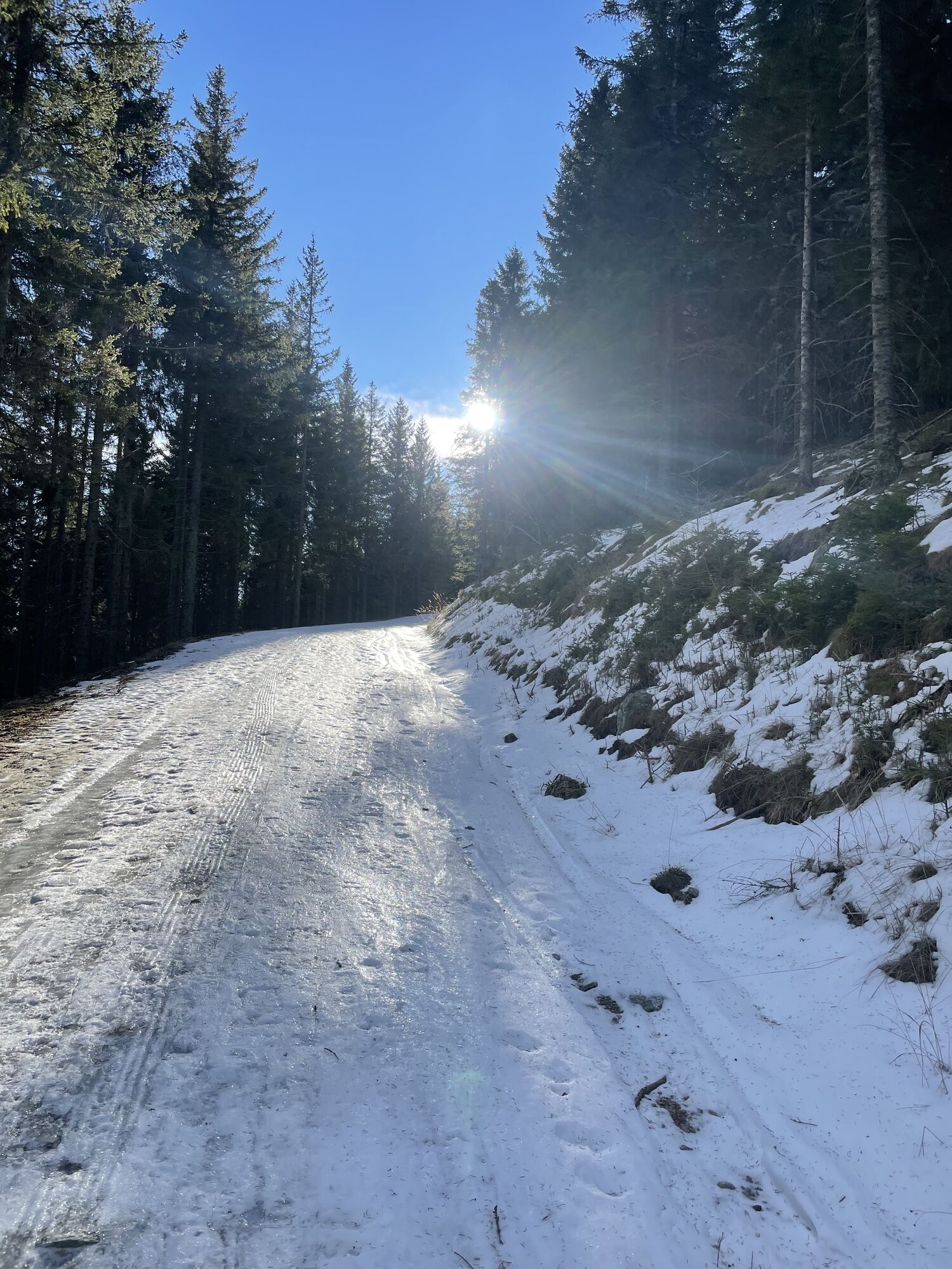
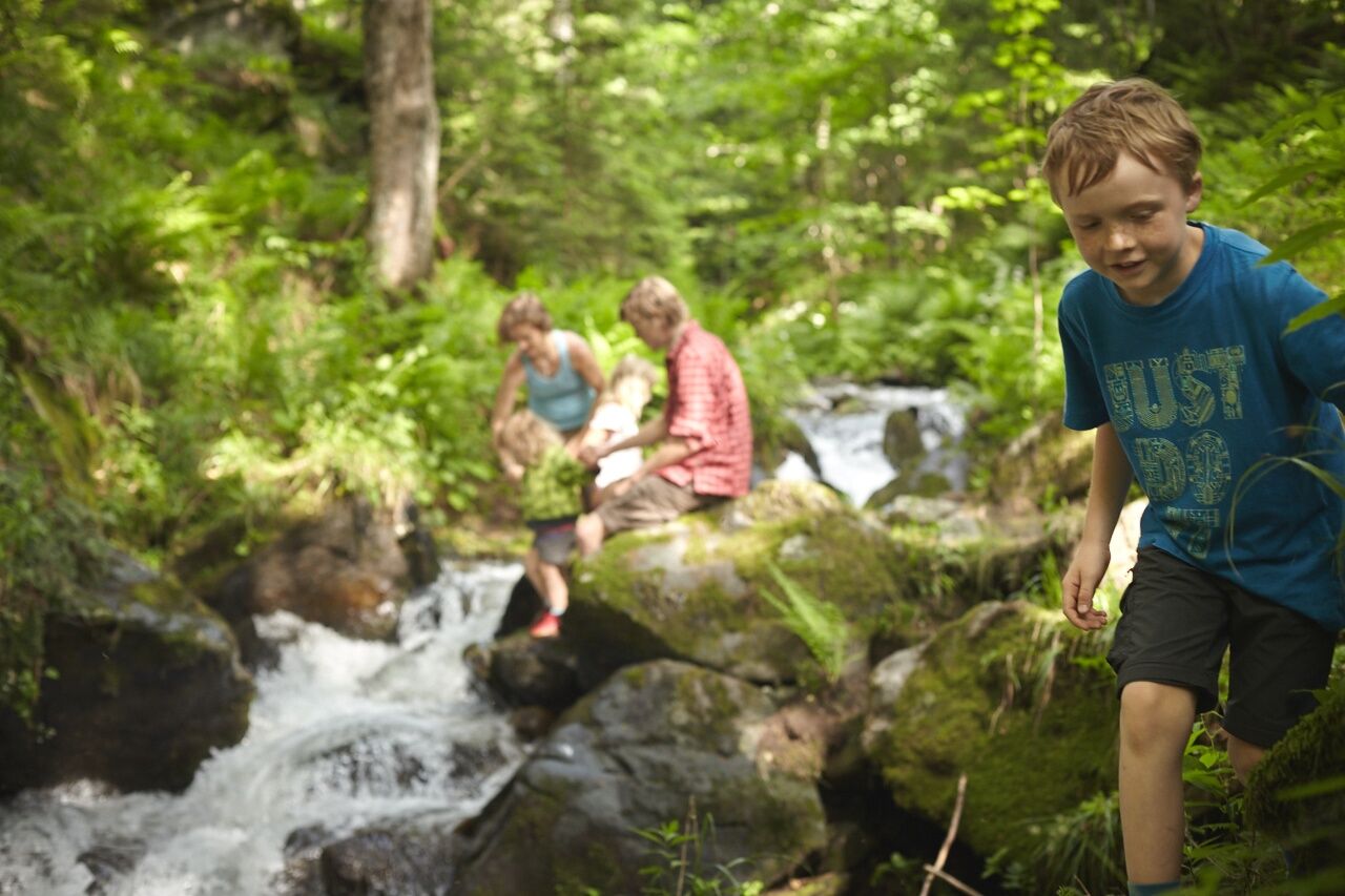
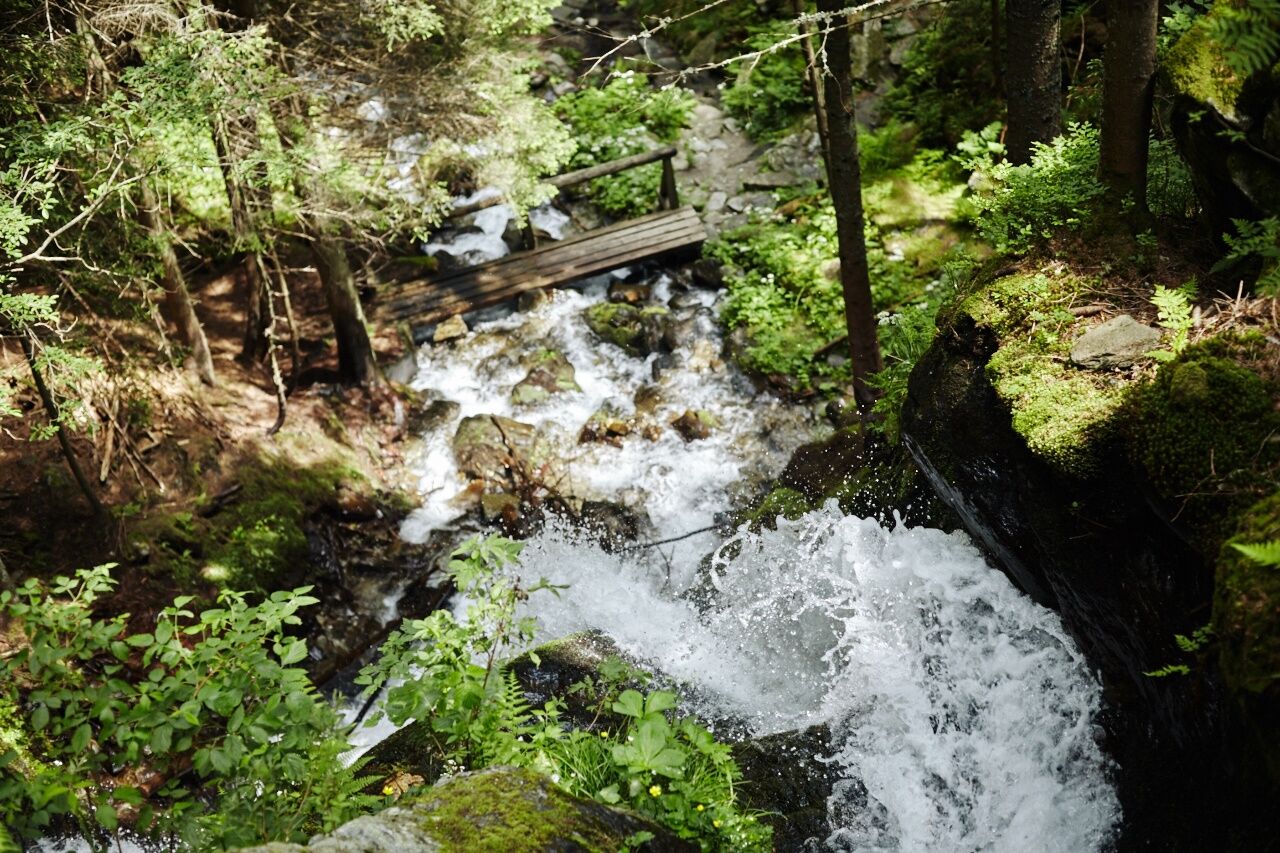
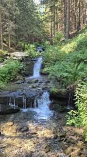
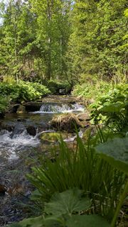
Numerous information boards with information and questions lead hikers, children and adults, to sometimes hidden places where the world of white water and its environment can be discovered and experienced. The entire trail is accompanied by the Pöstlingbach stream, crossing it several times on small bridges. Between ferns and wild lettuce, the water rushes over green mossy stones and sand into the valley: it is so clear that you can see right to the bottom. And rivulets and streams feed the torrent from all sides. Even on hot summer days, it is cool and damp here in the forest. All you can hear is the constant murmur of the water and the singing of the birds.
Experiences along the way:
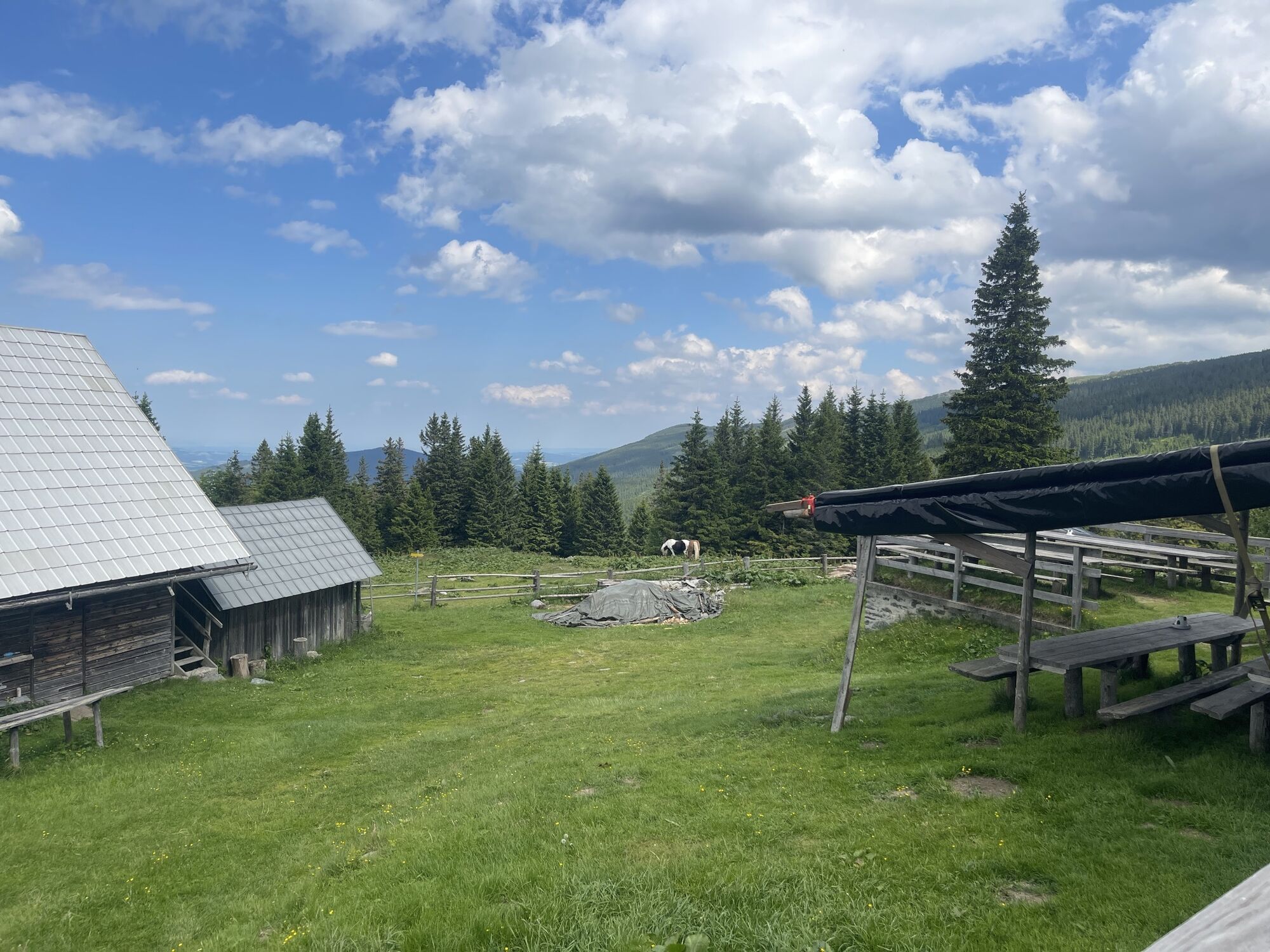
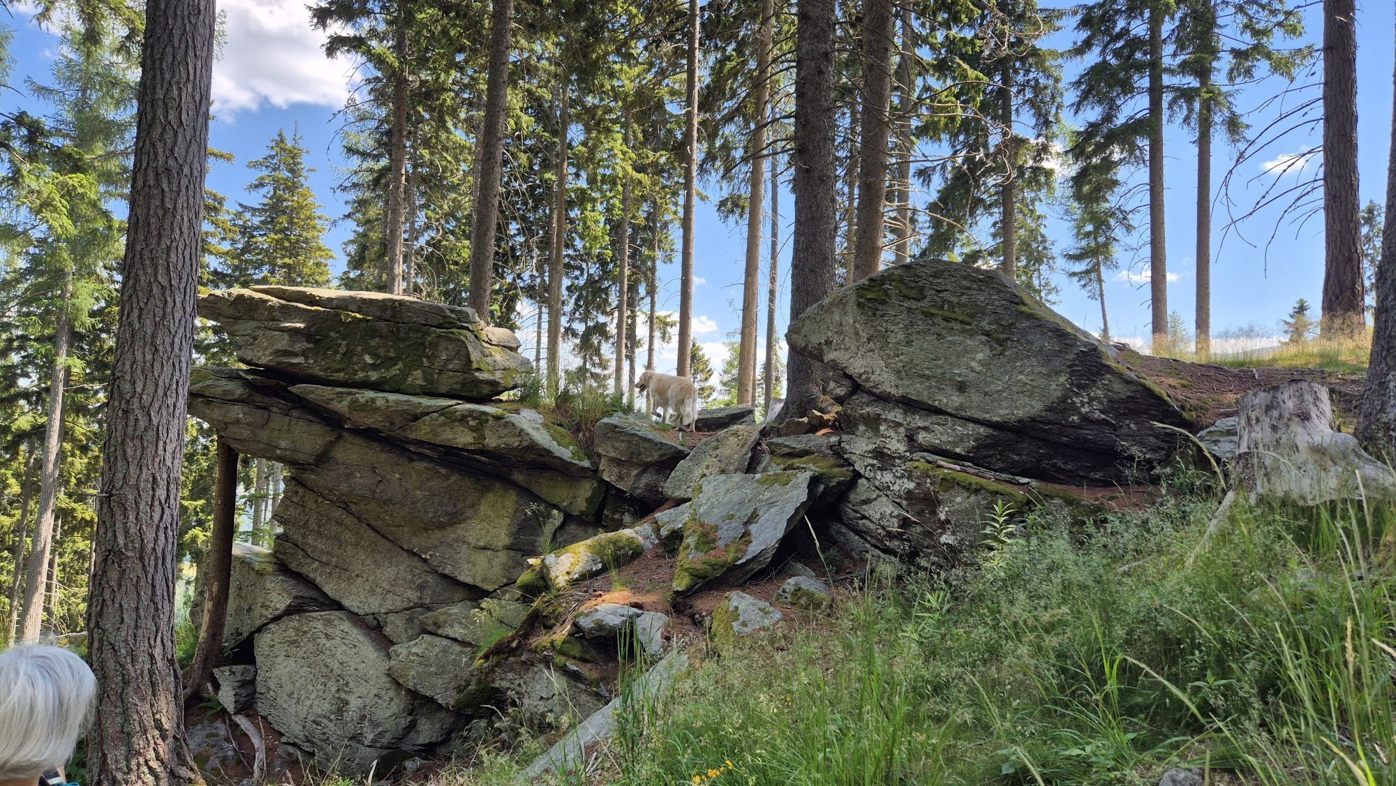
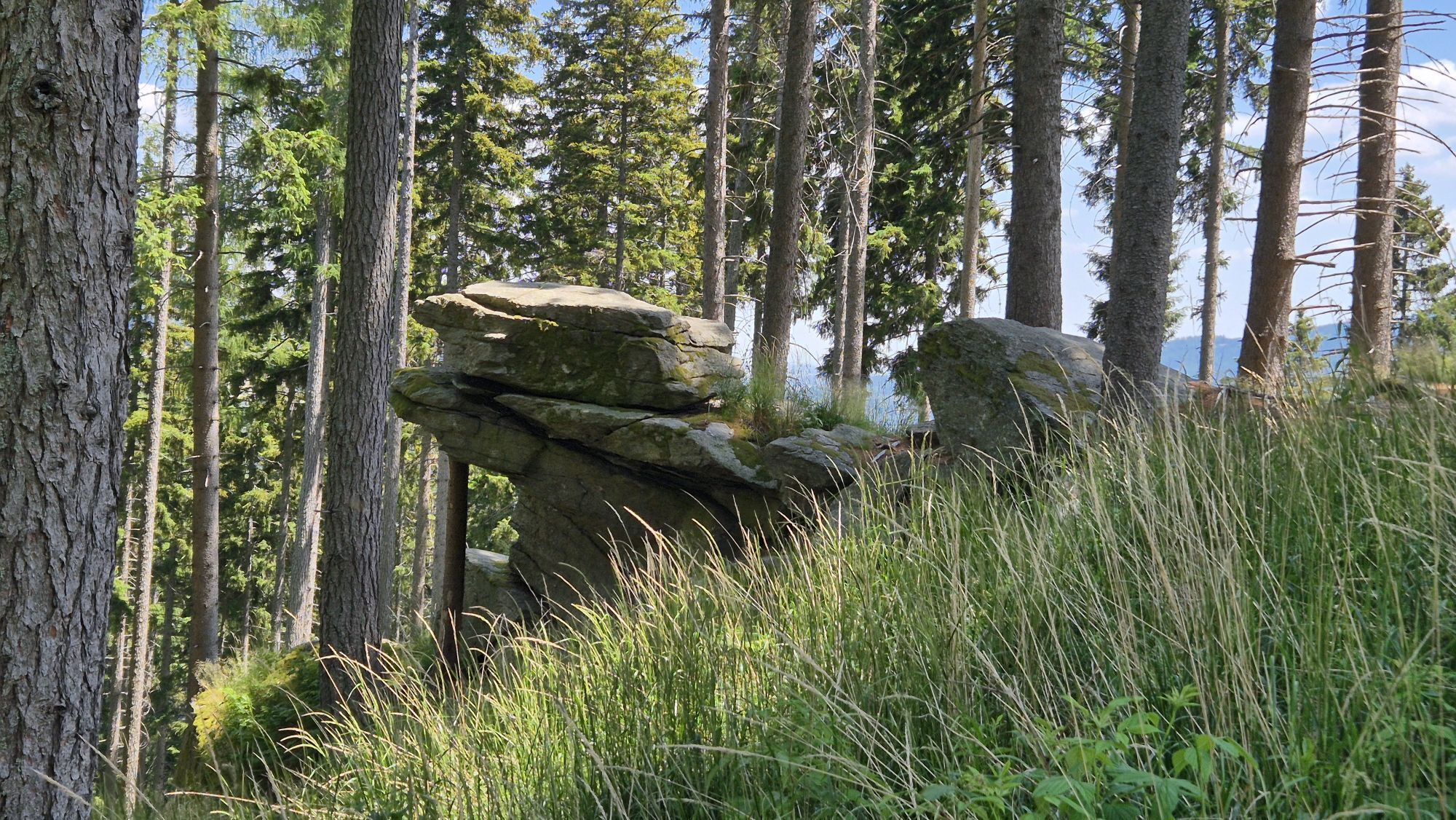
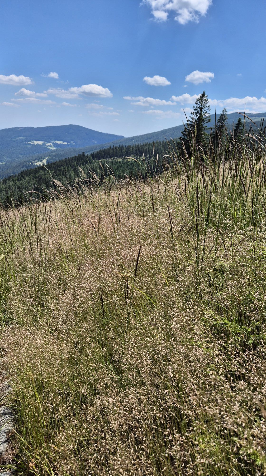
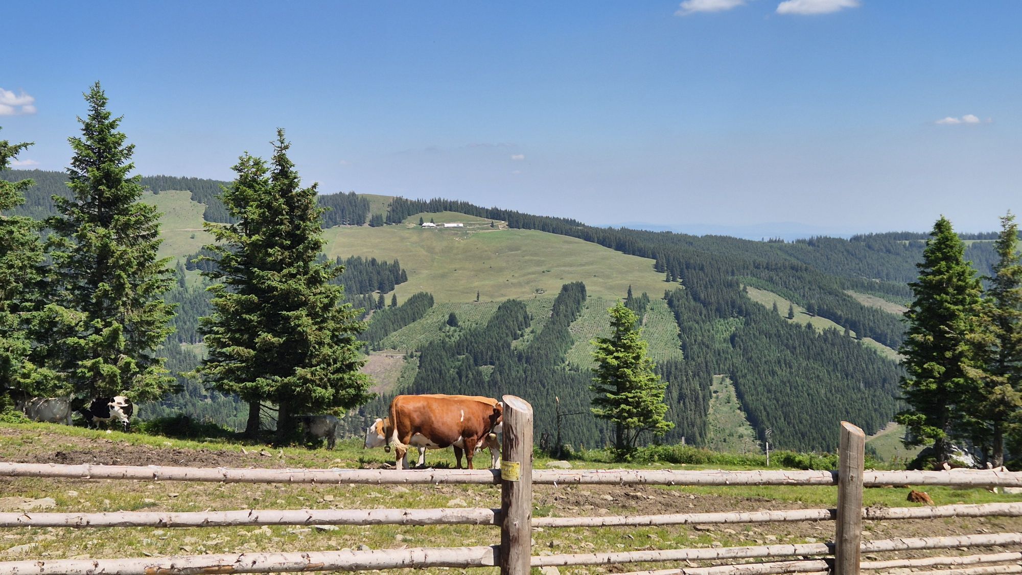
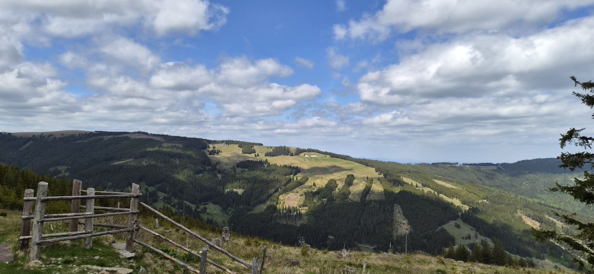
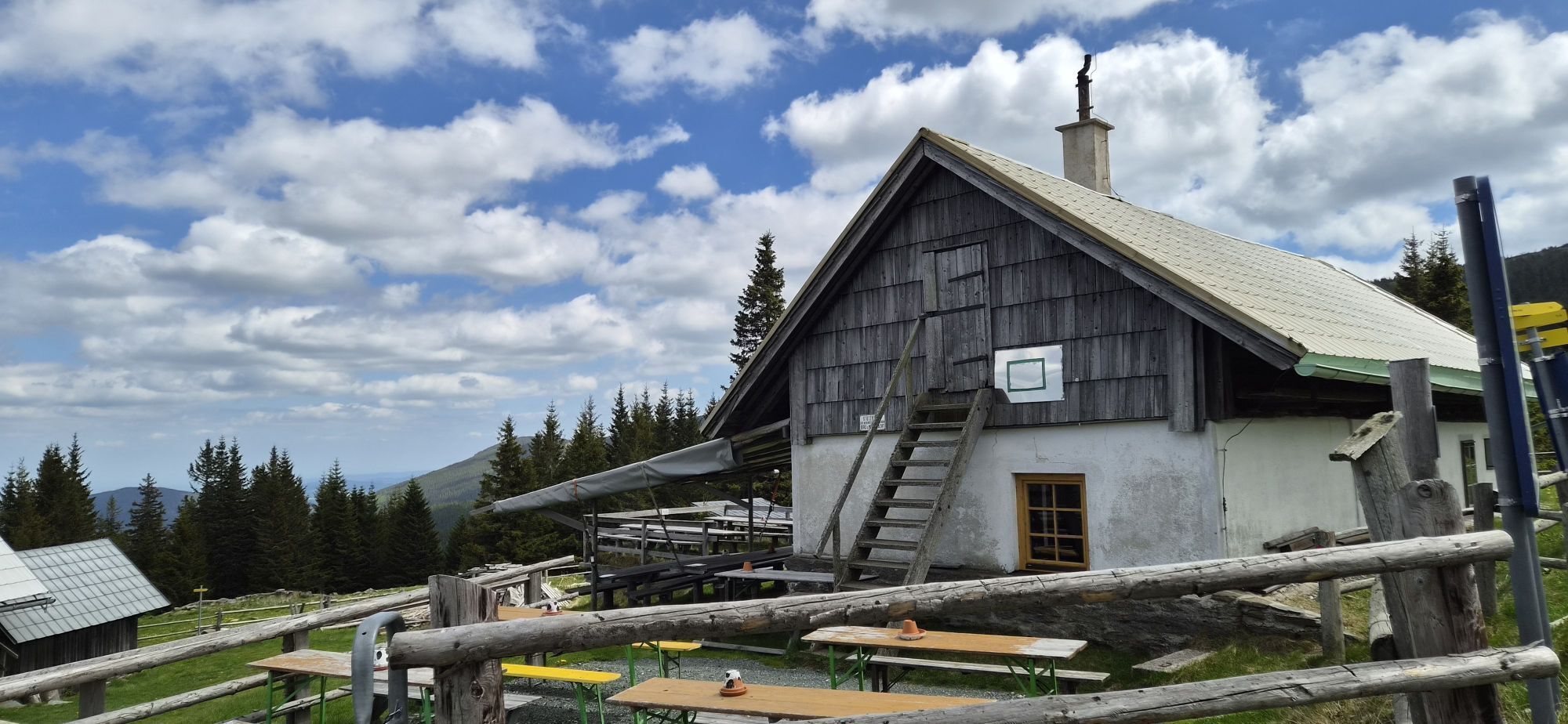
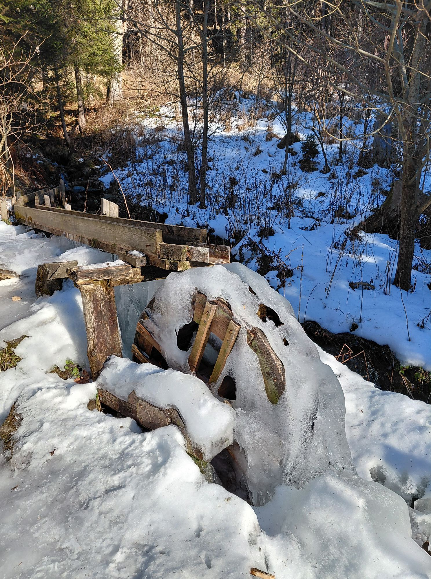
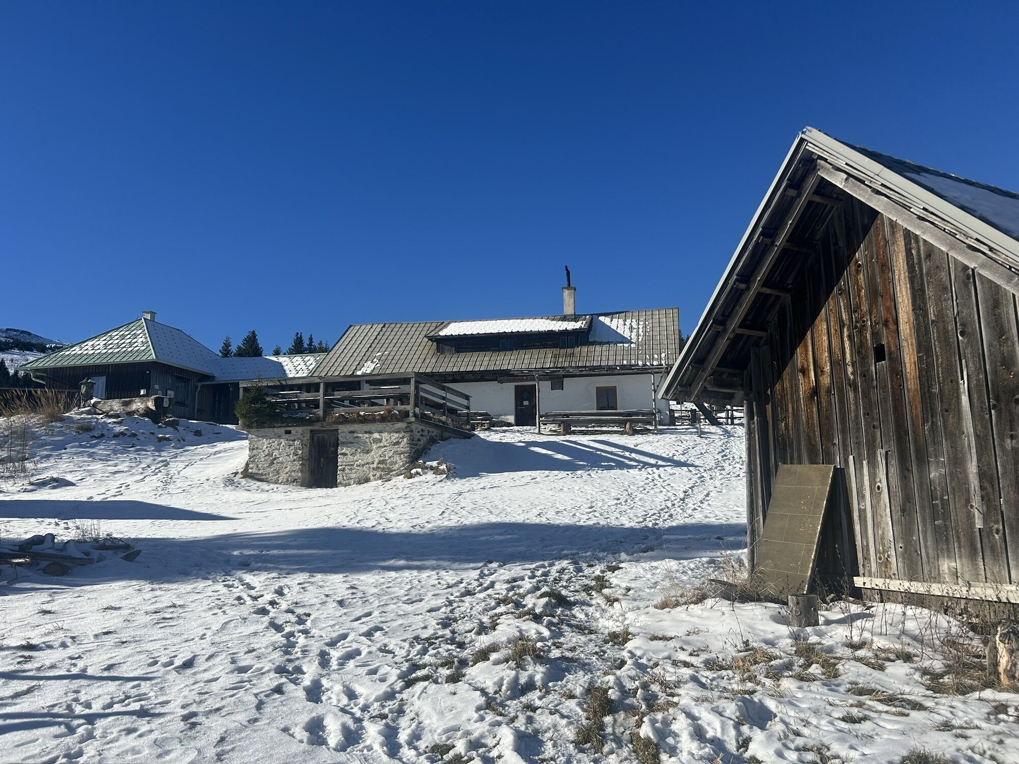
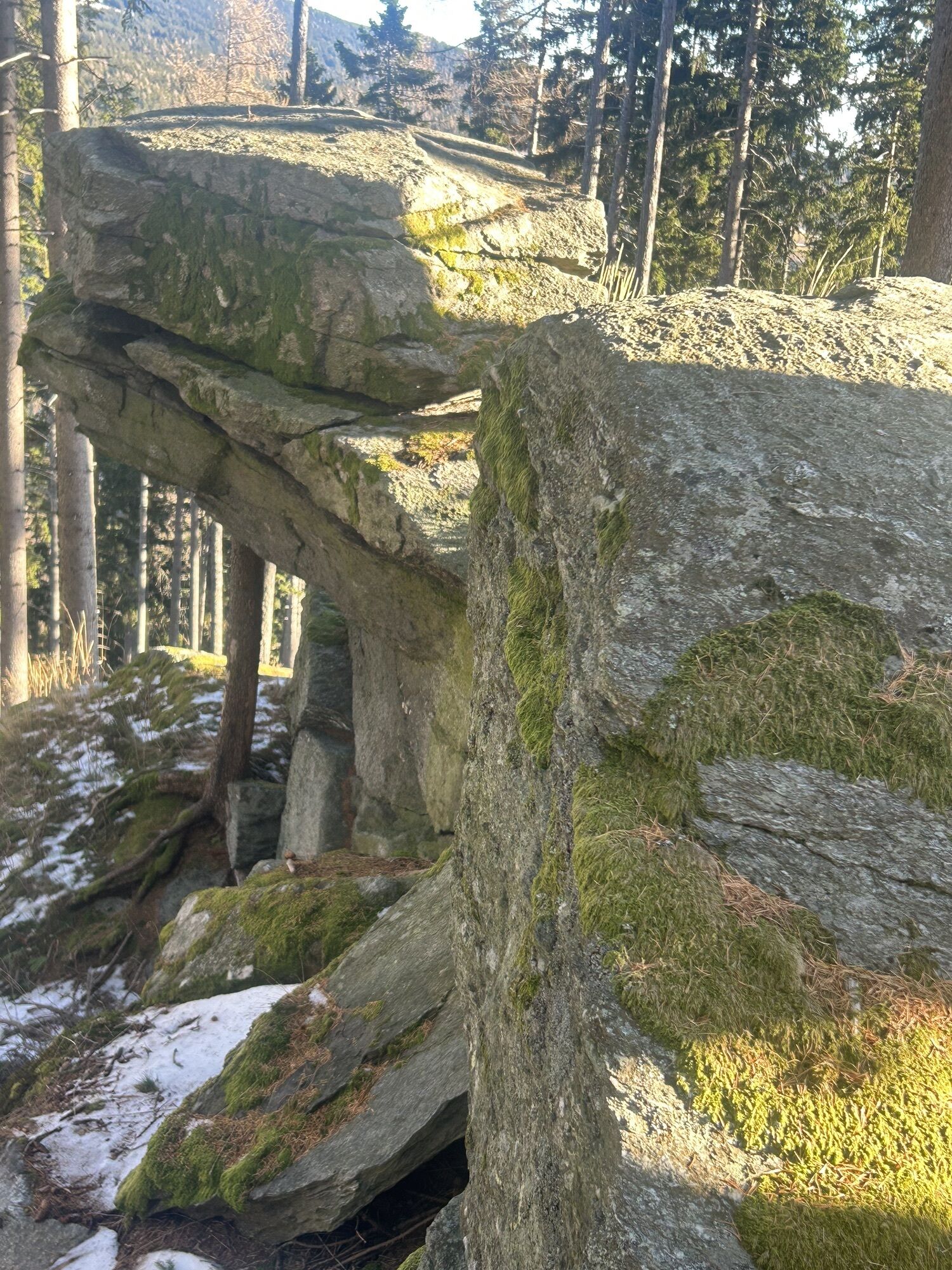
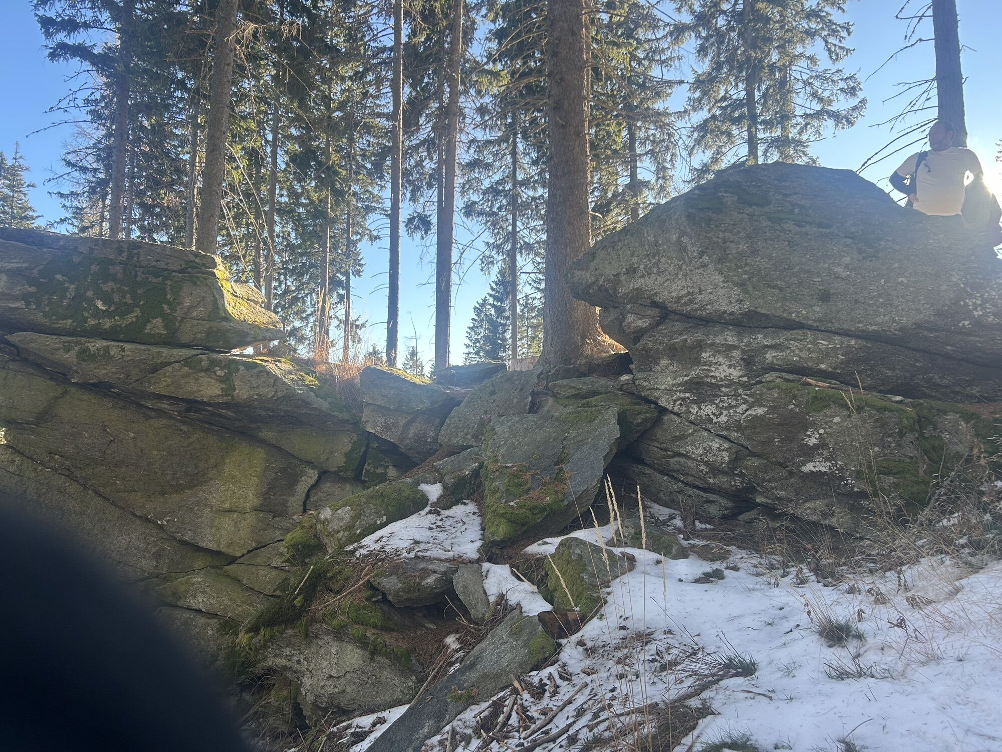
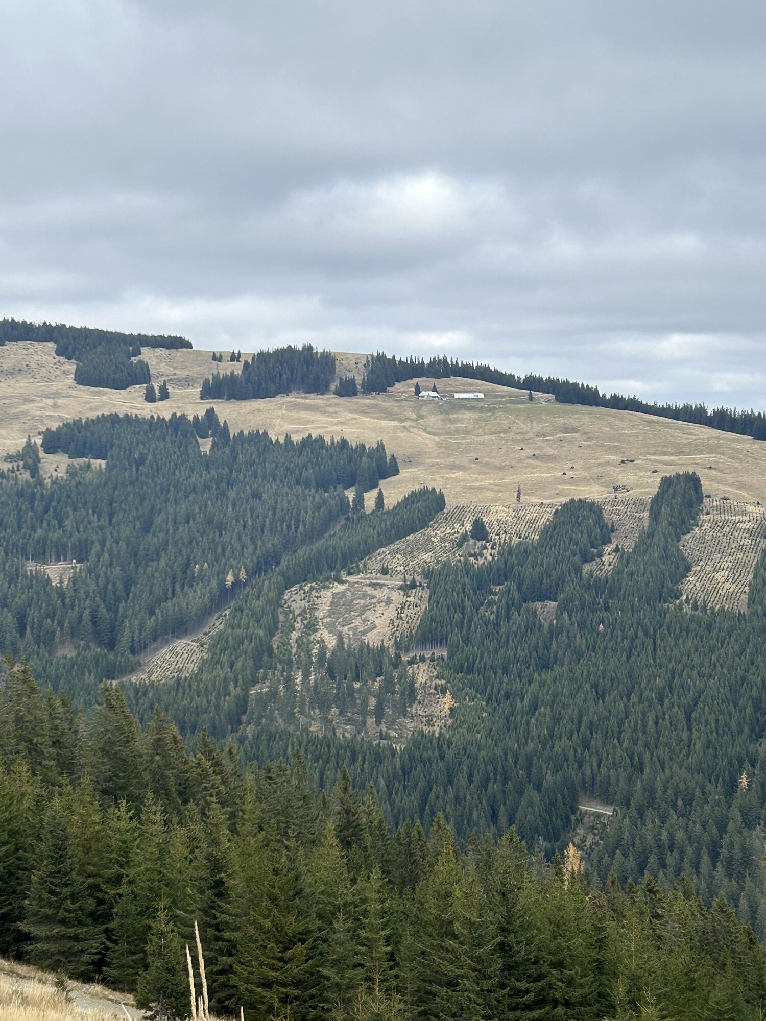
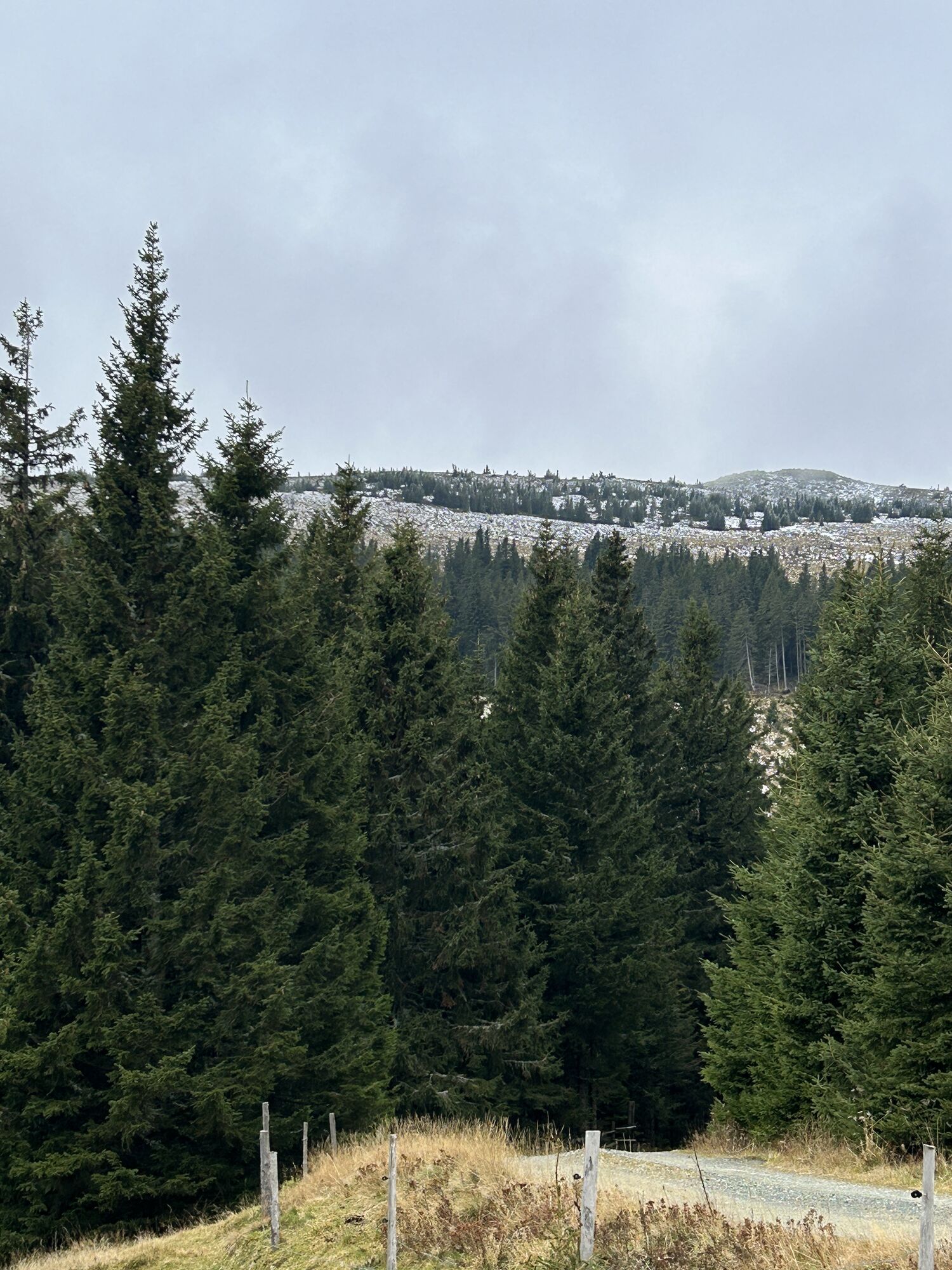
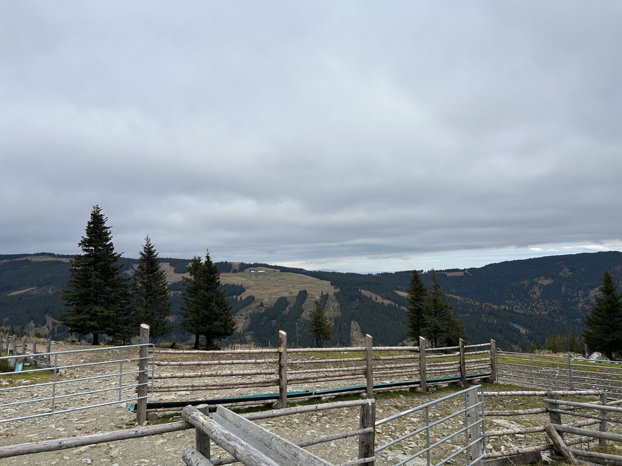
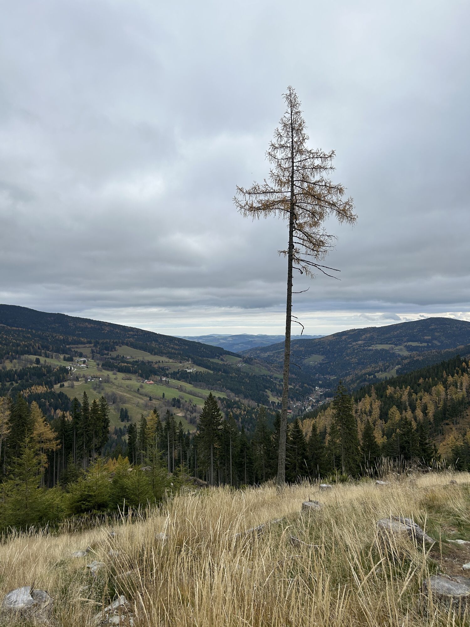
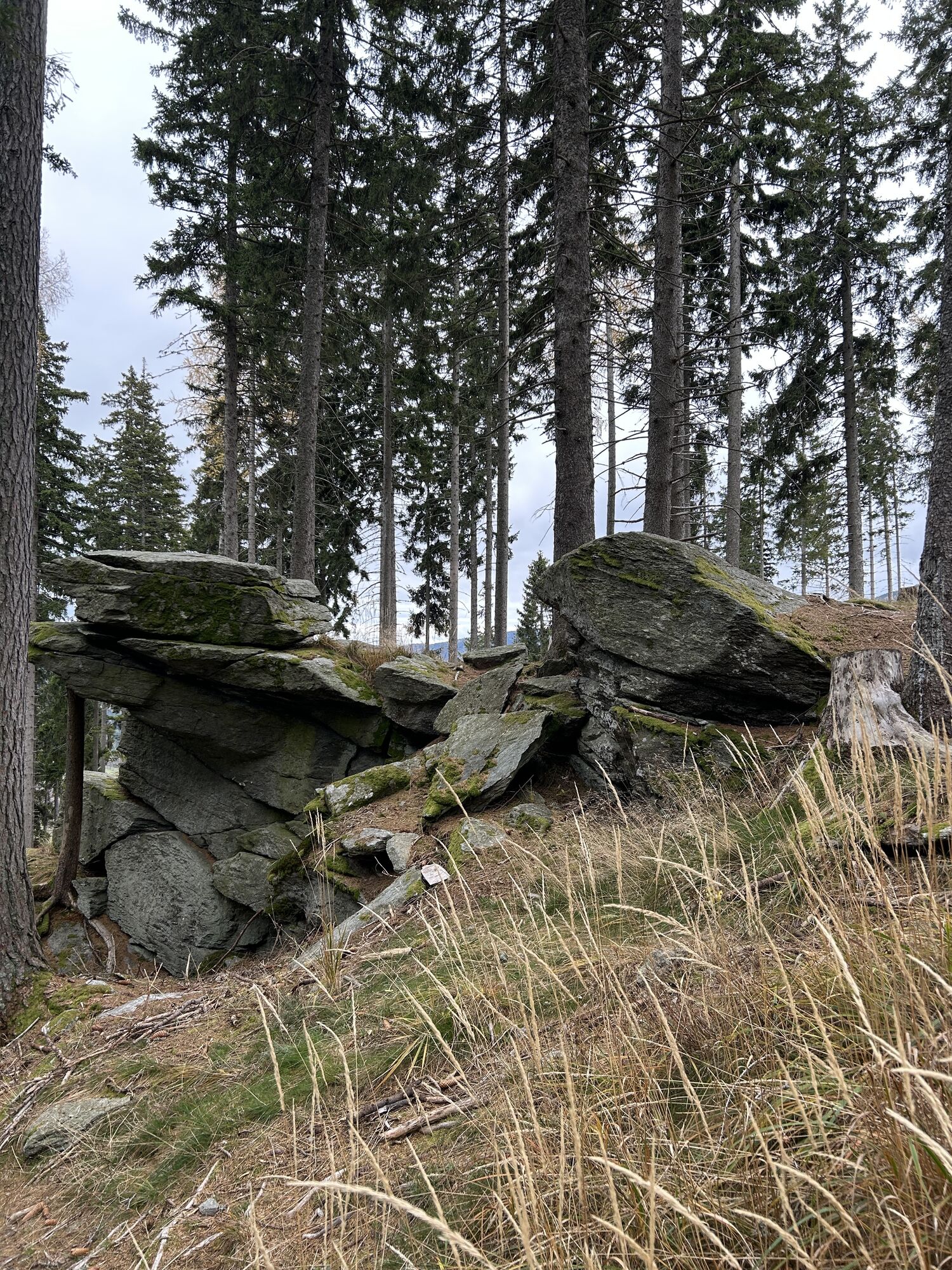
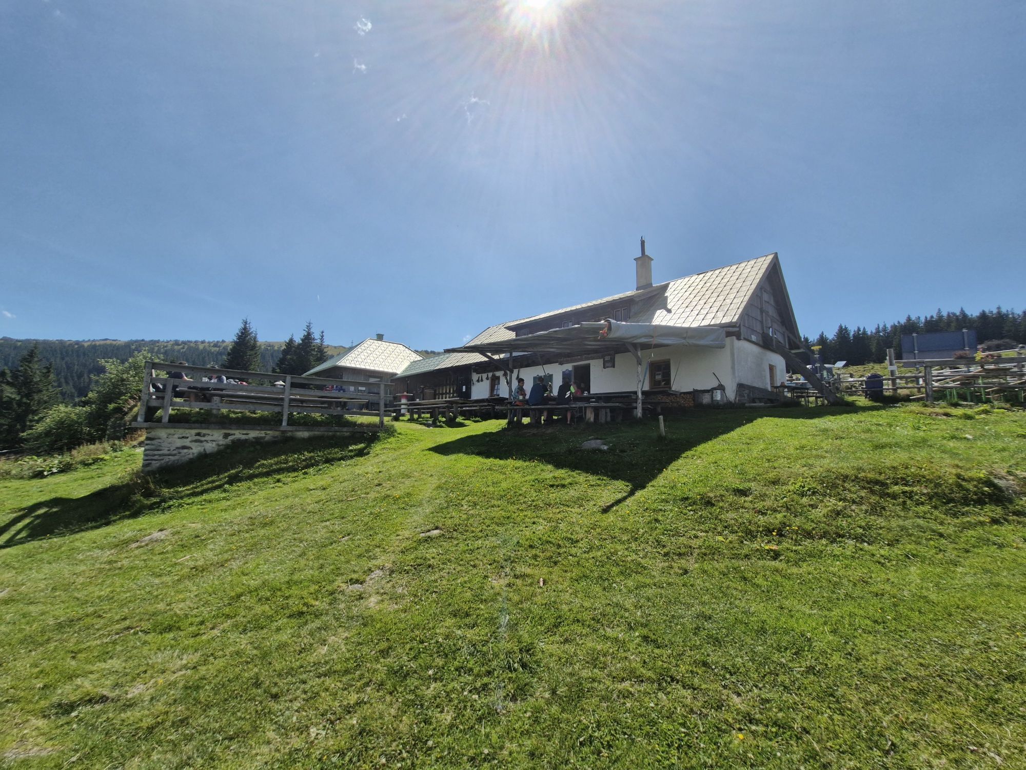
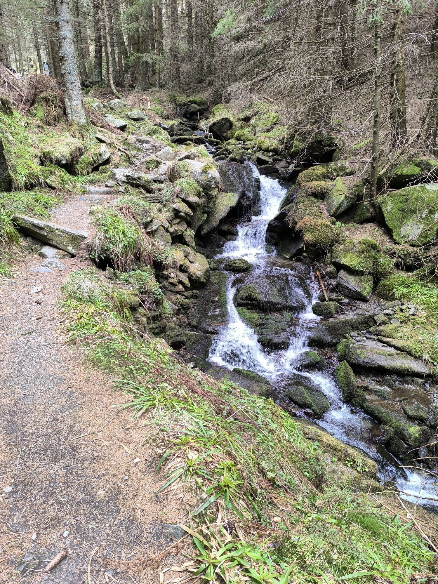
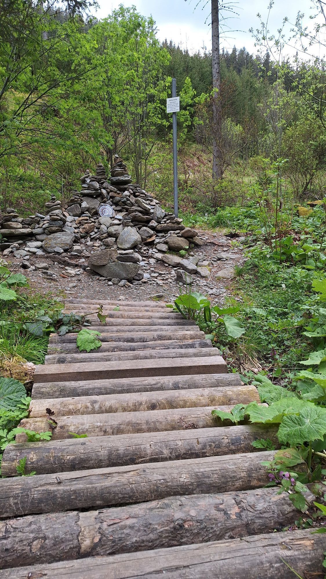
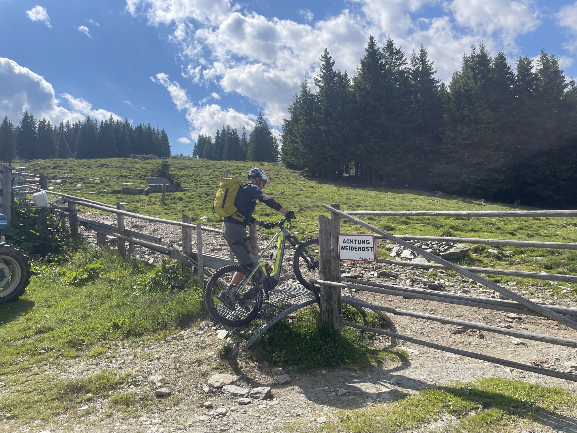
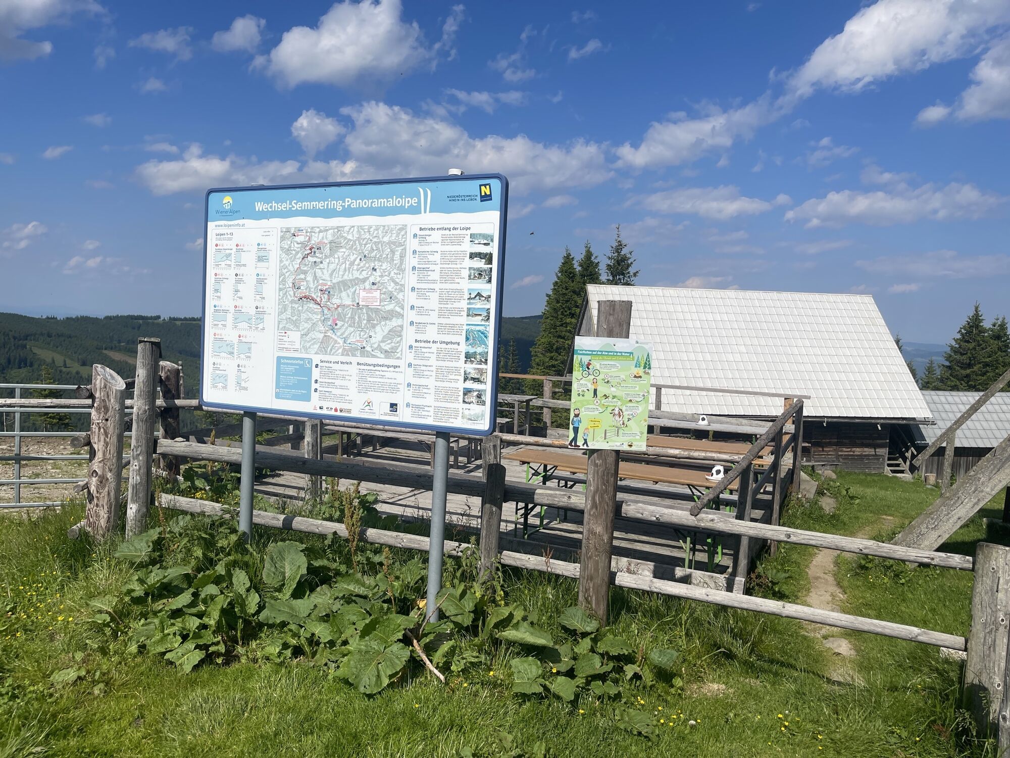
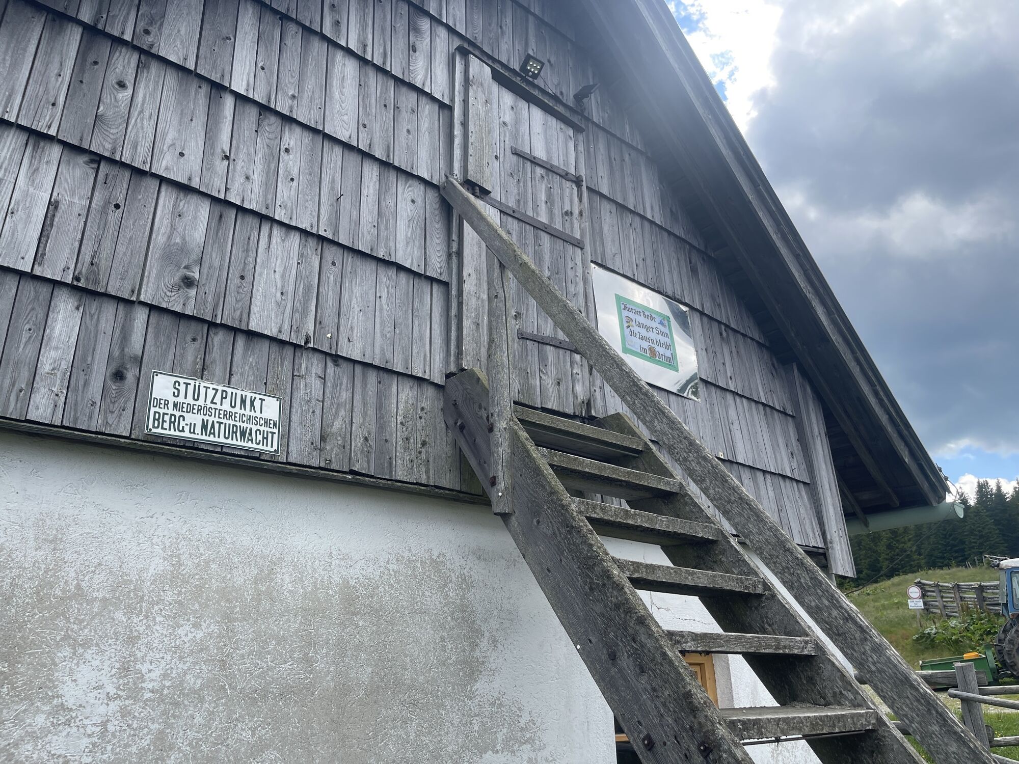
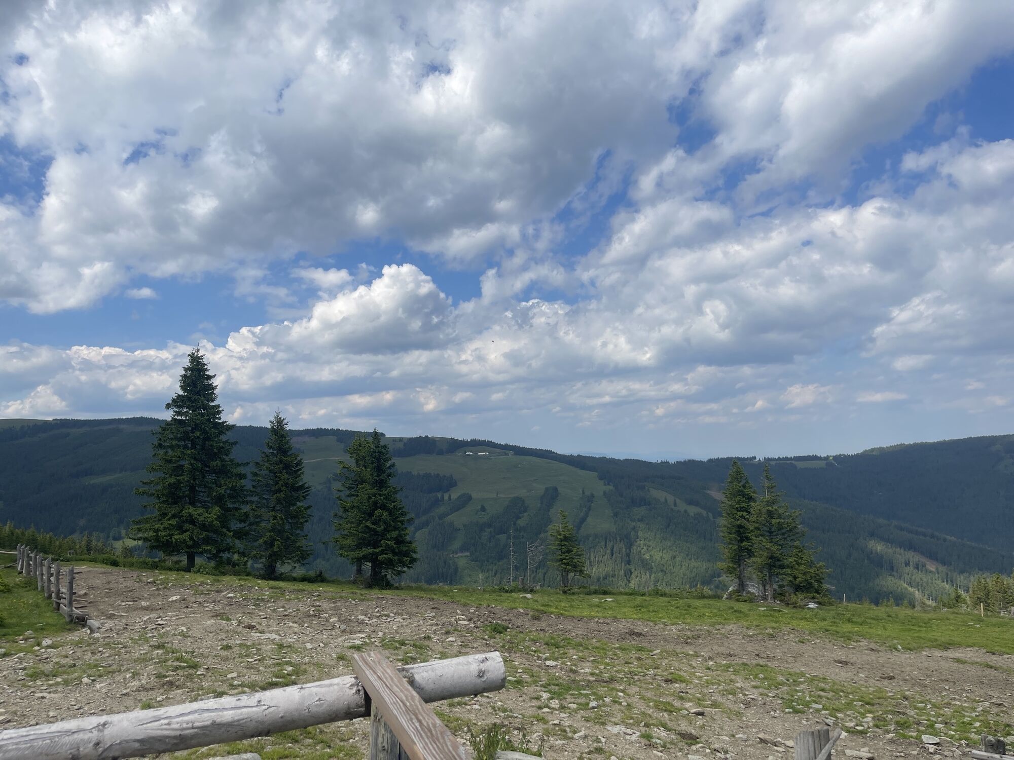
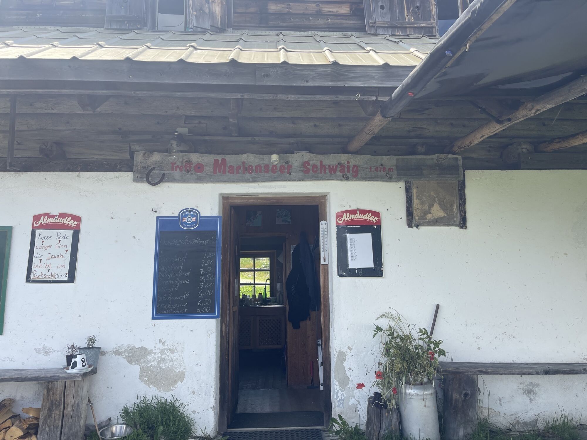
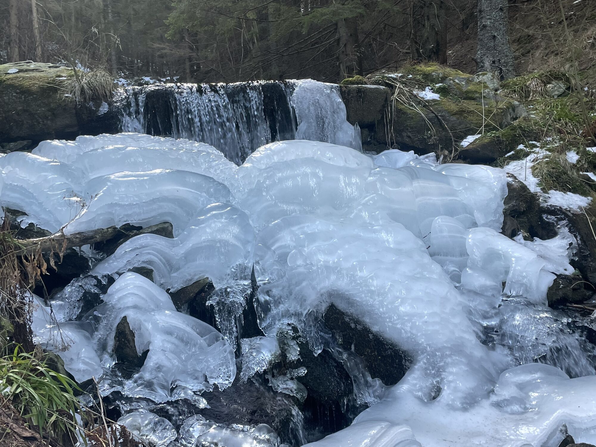
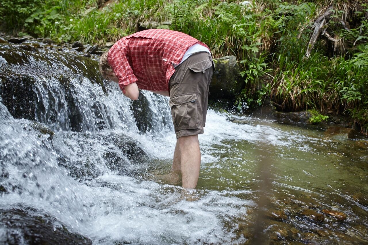
Water as a habitat for animals (biotope);the power of white water (giant stones near the biotope, waterfall, mill wheel, "organ tree")Water as the basis of life for plants (flower meadows, forest);Fascination of trees (giant trees, overgrown trees, "organ tree", tree rings);Trees as a habitat for animals (woodpecker trees).At the start and end point of the wild water trail, the biotope, you can observe animals in the water, such as the special green toad. You can work out the height of the ancient giant spruce for yourself. In the forest you will find the organ tree, woodpecker treesand othermysterious trees. From the gorge site, you can look down into the wild and romantic gorge through which the stream carves its bed. There is also achildren's playgroundand a small stone pyramid at the rest area by the old mill. According to tradition, adding a stone to the pyramid brings good luck and atones for sins. Finally, you reach the romantic waterfall and bivouac via a steep step. A small bridge has been built over the edge of the waterfall, which is around 20 meters high, so you can watch the thundering fall of the water from above unhindered. A water measuring stationis located slightly above. The Himmelsstiege staircase takes you out into beautiful open terrain with views of the Wechsel and its surroundings. From here, you can hike to the Marienseer Schwaig or other hiking trails. After climbing a total of 496 meters in altitude, you can take a well-deserved rest here and enjoy the magnificent panorama from the wide, gentle alpine pastures to the Vienna Basin and Lake Neusiedl.

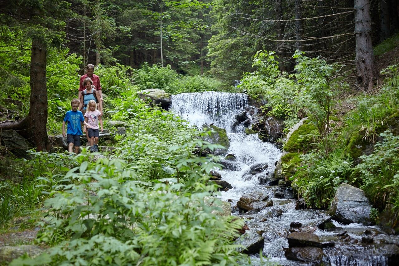
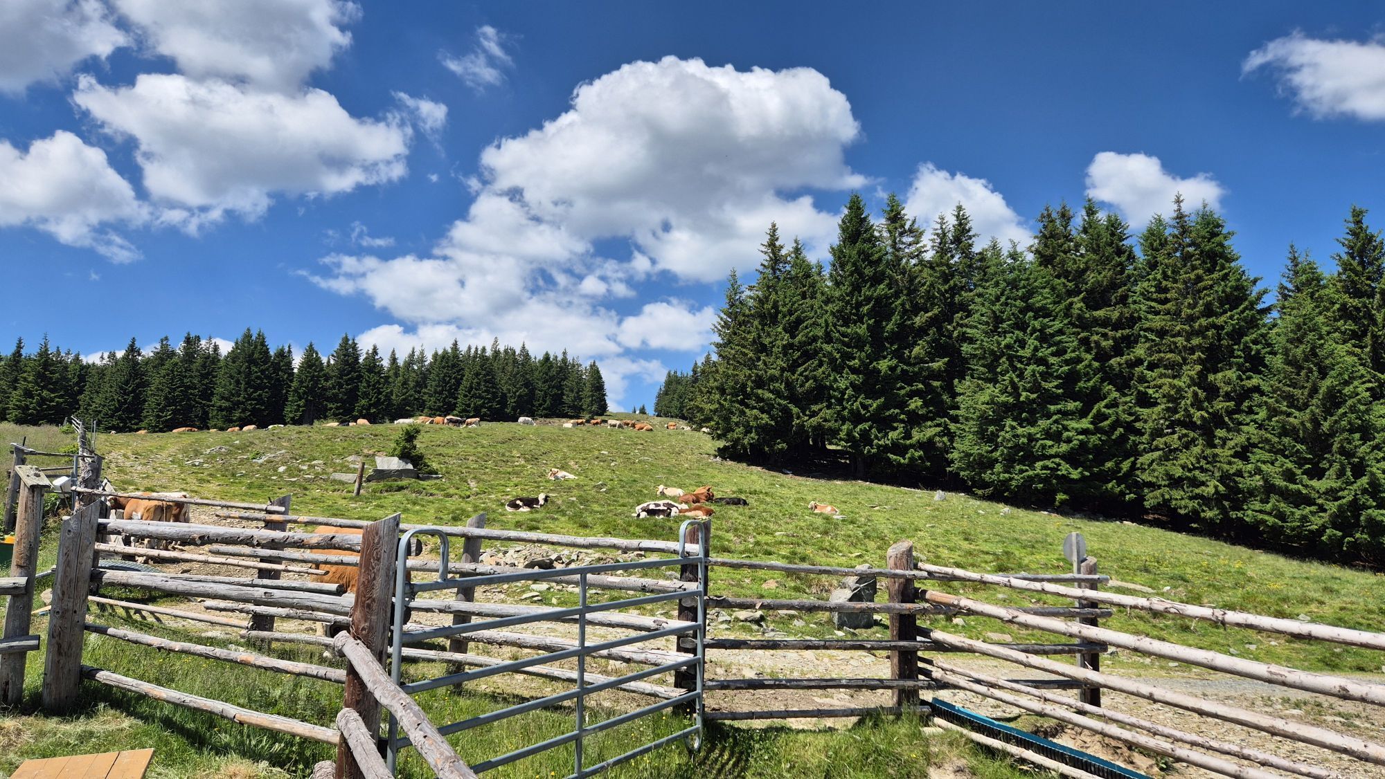
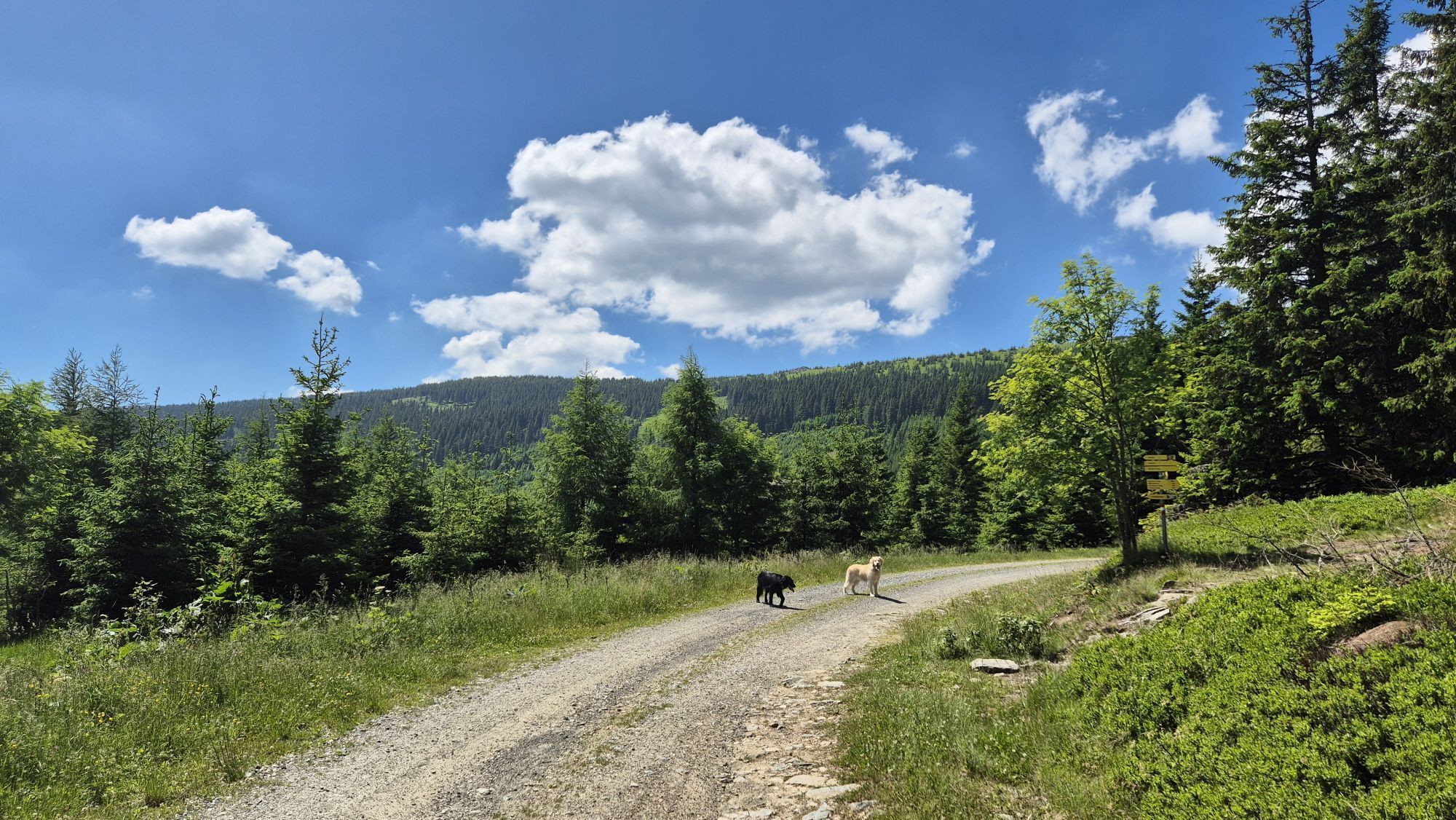
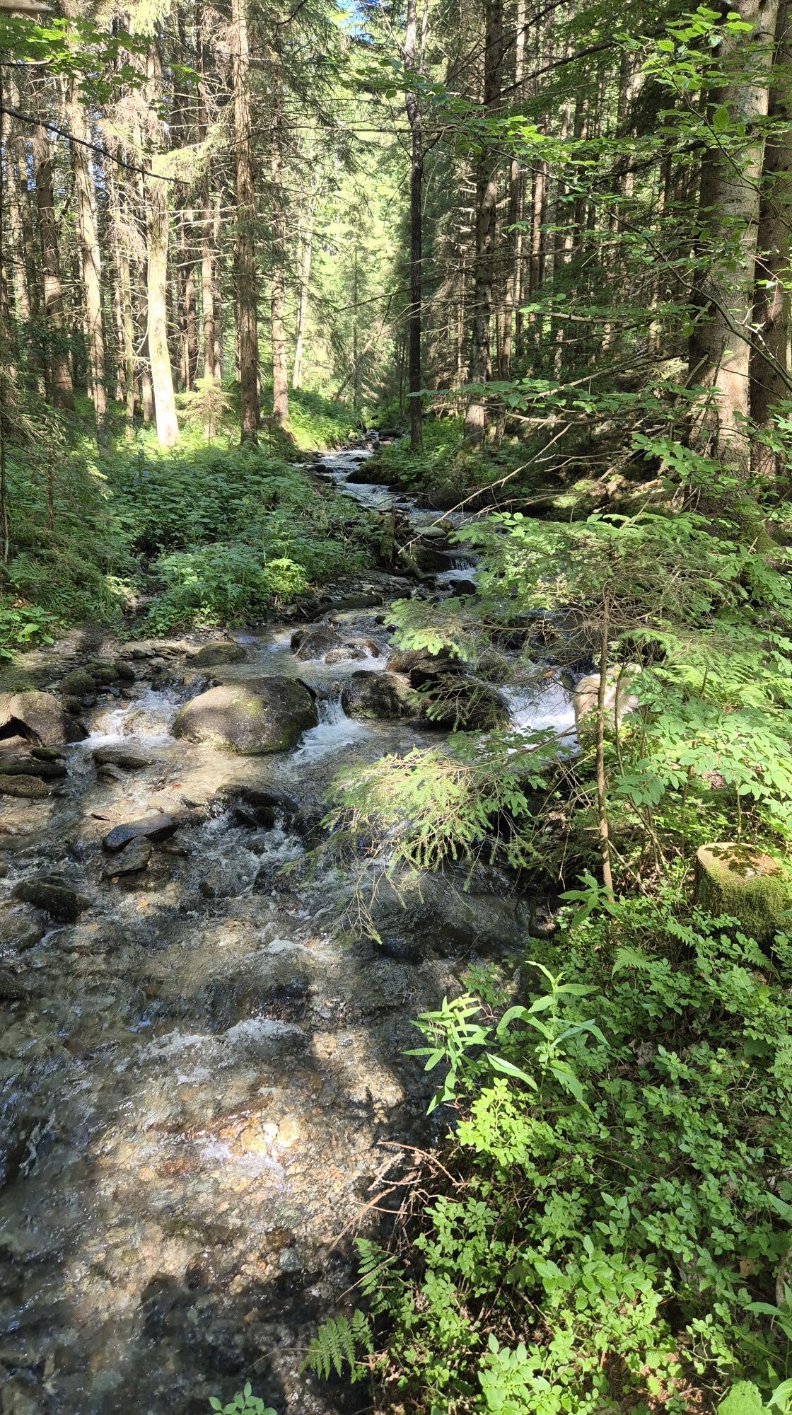
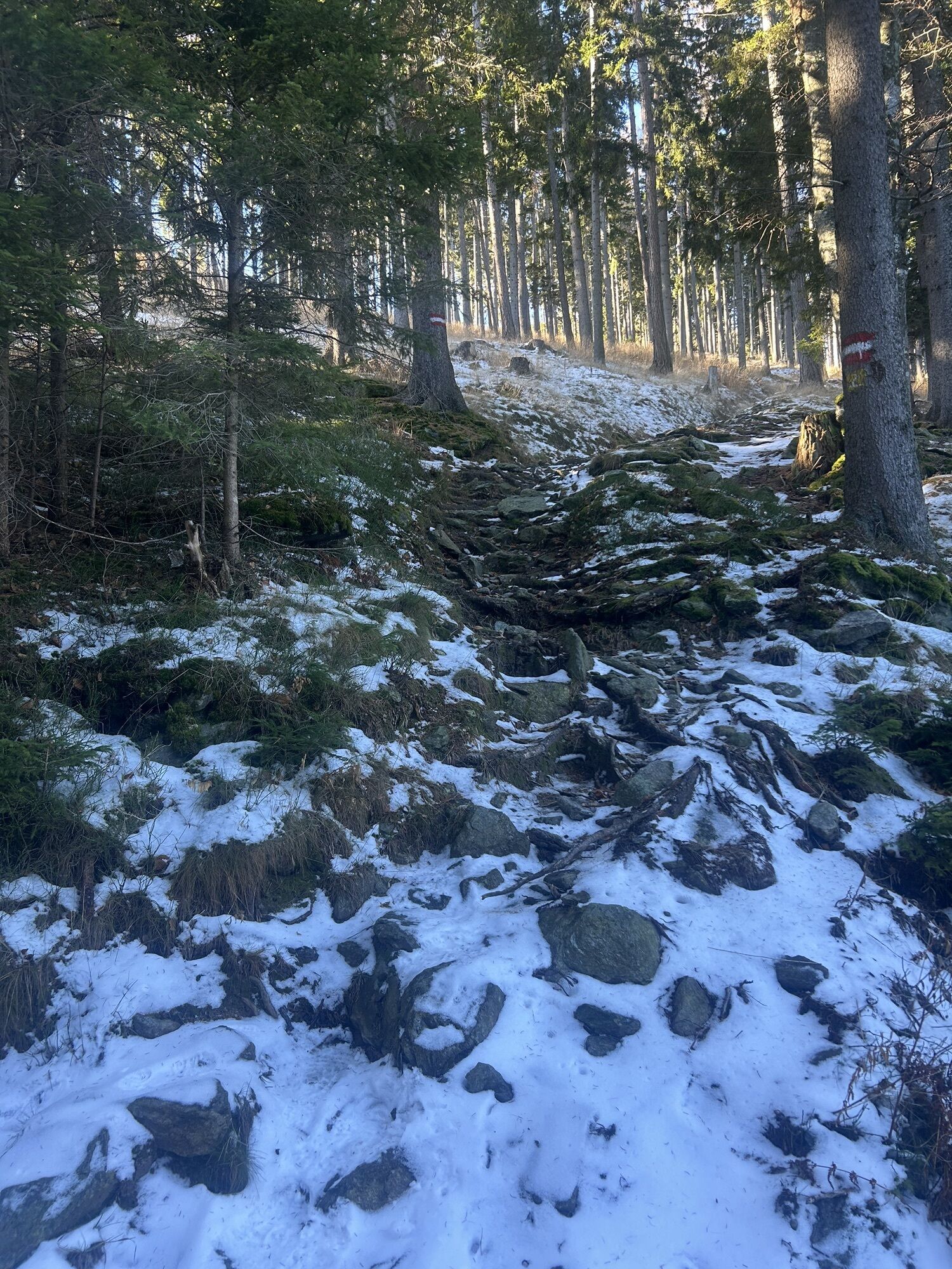
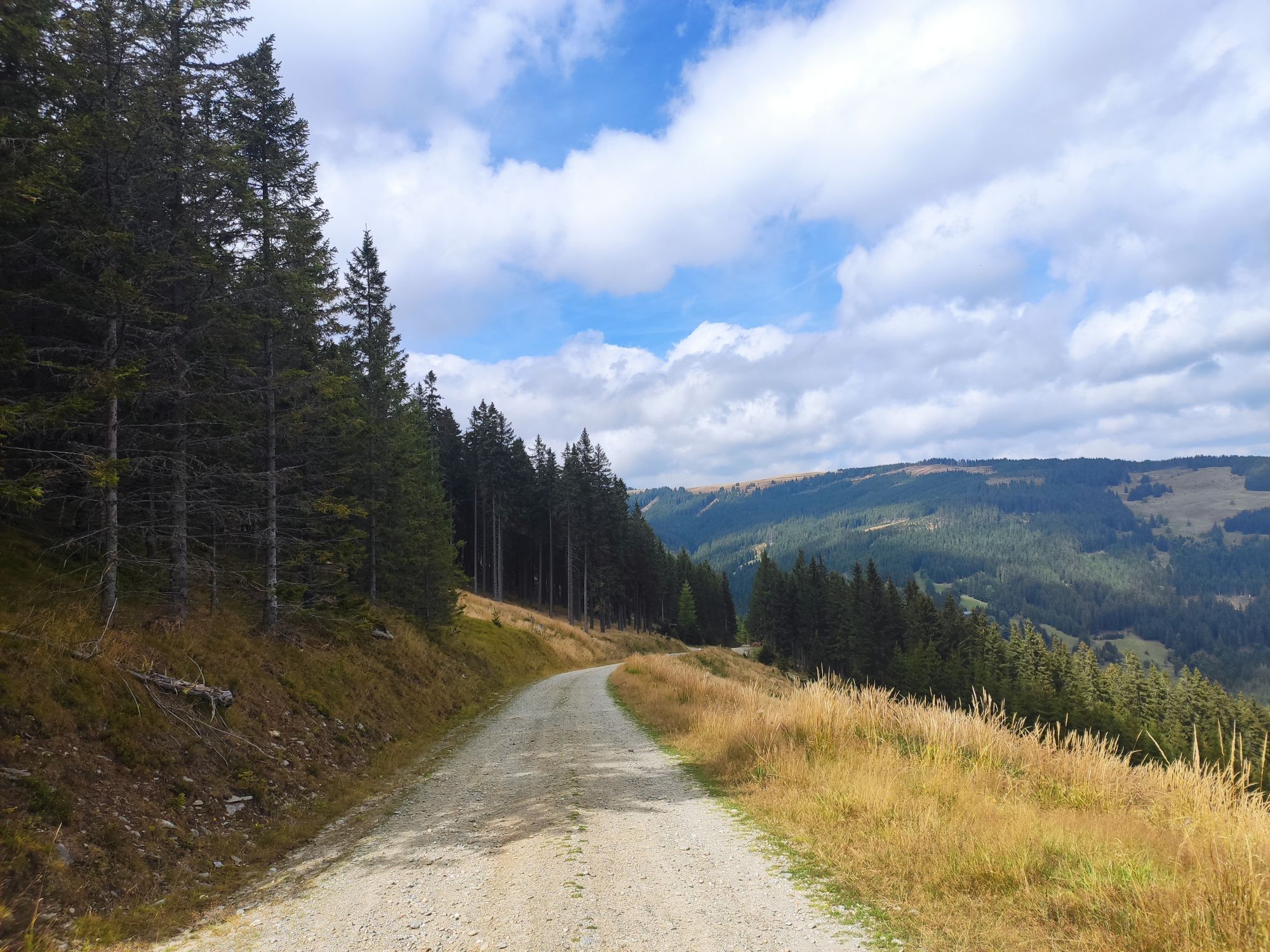
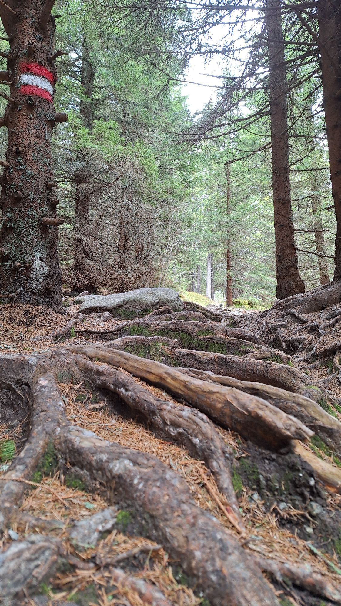
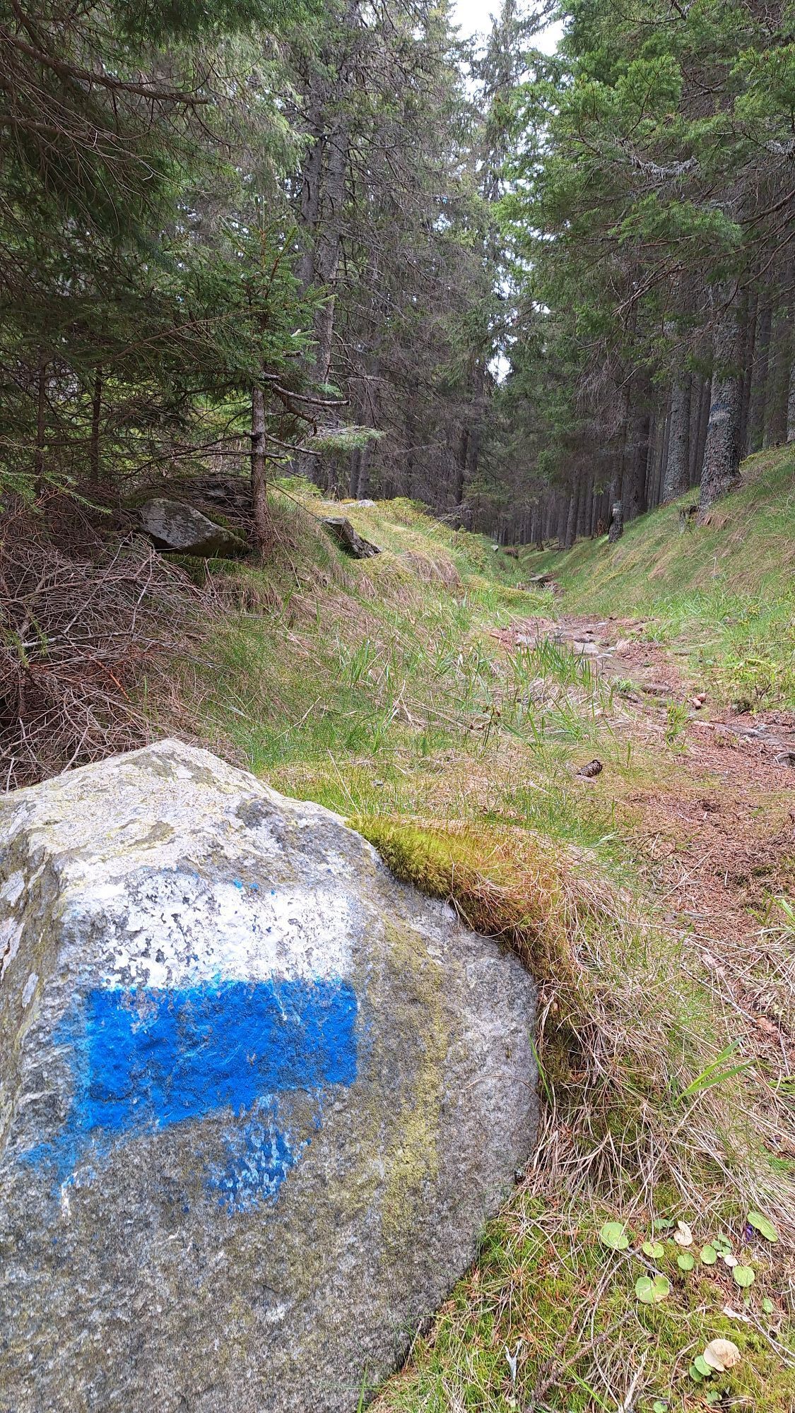
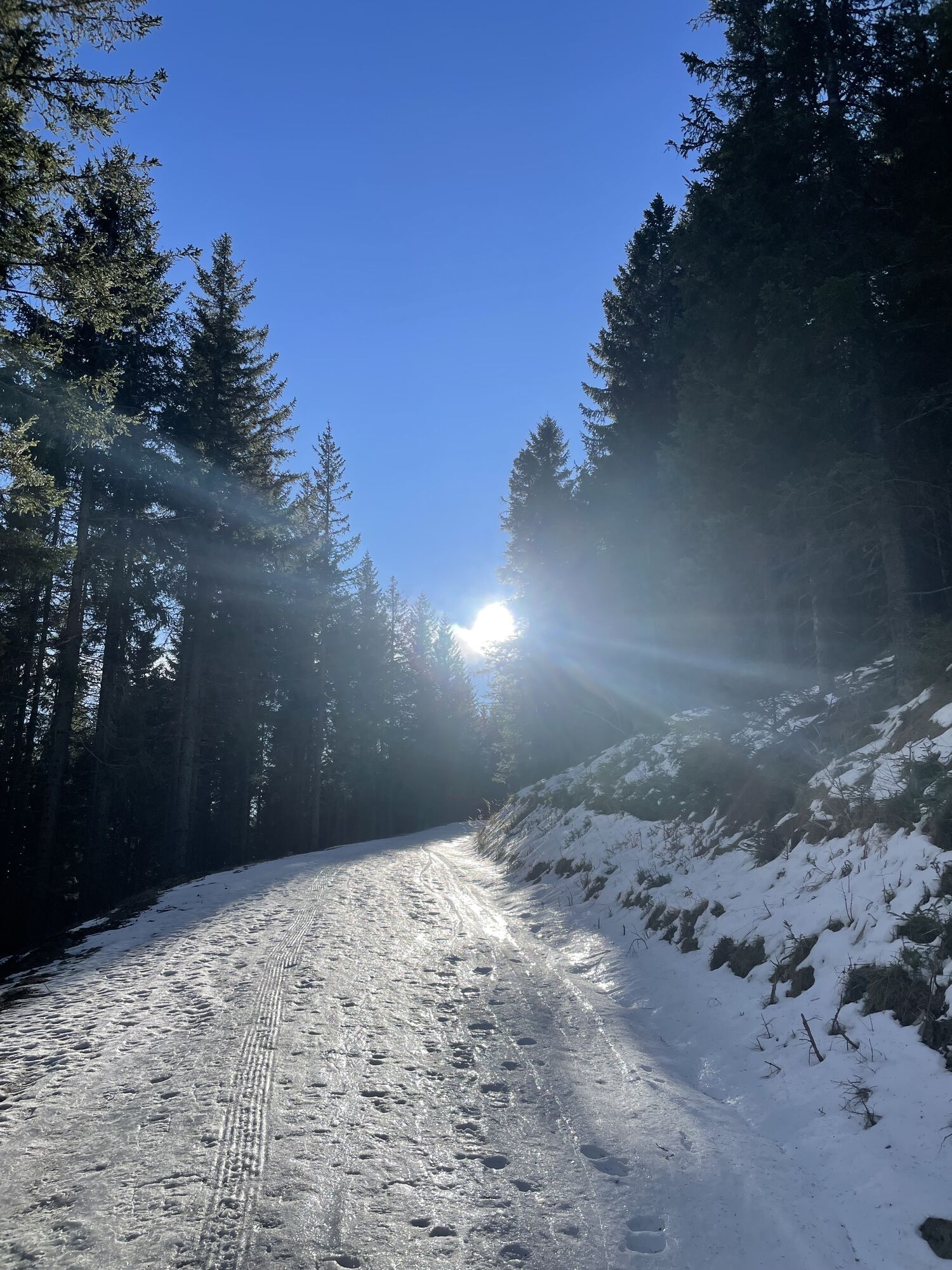
A narrow path leads us gently upwards from the biotope, always directly along the wild brook, through magnificent mixed and spruce forest. We pass by various special trees to the rest area at the old mill with a children's playground. From here we go over a short rocky steep step to the waterfall. Over steps, we leave the water gorge into open terrain. From here we walk gently uphill for about 40 minutes to the Marienseer Schwaig. To reach the Marienseer Schwaig, we follow the blue markings for about 1 1/2 kilometers and then turn right uphill to the Marienseer Schwaig. The red-marked hiking trail leads us back directly down to the parking lot.
Always take suitable maps with you. Wear sturdy shoes adapted to the route, bring sun and rain protection as well as water and a snack. Take your mobile phone and save the mountain rescue emergency number: 140
Your hikes in the Vienna Alps should be a completely beautiful and safe experience. Please therefore observe the following:
Preparation
Make sure the chosen route matches your experience and fitness. Check the weather report beforehand. Weather in the mountains can change surprisingly fast. Therefore always set out equipped accordingly (e.g., rain protection).
Check if the huts and snack stations you want to visit along the way are open. Inform someone about your chosen route and your planned return before you set off.
You can reach the Wild Water theme trail from Vienna and Graz via the A2 - Exit Edlitz.
From Vienna: South Motorway A2 Exit 69 Edlitz/Aspang, B54 Aspang Markt - Mariensee, after approx. 1.5 km the beginning of the Wild Water Path, parking lot/biotope;
From Graz: South Motorway A2 Exit 81 Aspang Markt - Mariensee, after approx. 1.5 km the beginning of the Wild Water Path, parking lot/biotope;
Take the regional train from Wiener Neustadt main station towards Aspang-Markt to the final stop. Take a taxi to the starting point or take regional bus 372 (direction: Mariensee Almbauer) and get off at Mariensee Gh Haidbauer. From there, walk 40 minutes to the starting point.
More information at www.oebb.at, www.vor.at
Mariensee: Biotope parking lot at the end of the valley, parking spaces on the right side.
Vienna Alps in Lower Austria, www.wieneralpen.at, +43 / 2622 / 78960
Visit excursion destinations in the area, such as the Automobile Museum in Aspang, the Hermannshöhle in Kirchberg, or the Erlebnisalm Mönichkirchen!


Priljubljeni izleti v okolici
- 4,8
Hochwechsel-Runde, Waldbach-Mönichwald
srednjaTrailrunning 17,9 km - 3,7
Schwaigen Rundwanderung
svetlobaPohodništvo 8,24 km - 3,8
St. Corona - Kampstein
srednjaPohodništvo 10,7 km - 4,6
Mariensee - Wildwasserweg - Marienseer Schwaig
svetlobaPohodništvo 8 km - 4,5
Vom Semmering nach Breitenstein am Bahnwanderweg (September 2023)
svetlobaPohodništvo 9,94 km - 4,5
Schanzkapelle - Kleiner Otter - Mitterotter - Großer Otter - Kummerbauerstadl - von Göstritz Göstritz, Niederösterreich
srednjaPohodništvo 11,6 km - 4,5
Rabl-Kreuz-Hütte auf den Hochwechsel
svetlobaSnežni čevlji 9,87 km - 4,5
Hochwechsel
srednjaPohodništvo 14,3 km - 4,5
Sonnwendstein
srednjaPohodništvo 9,40 km - 4,4
Kummerbauerstadl-Erzkogel-Sonnwendstein-Maria Schutz-Kummerbauerstadl
svetlobaPohodništvo 12,2 km
Pohodništvo in sledenje


Ne zamudite ponudb in navdiha za naslednje počitnice
Vaš e-poštni naslov je bil dodan na poštni seznam.