







Celtic circular hiking route Schwarzenbach

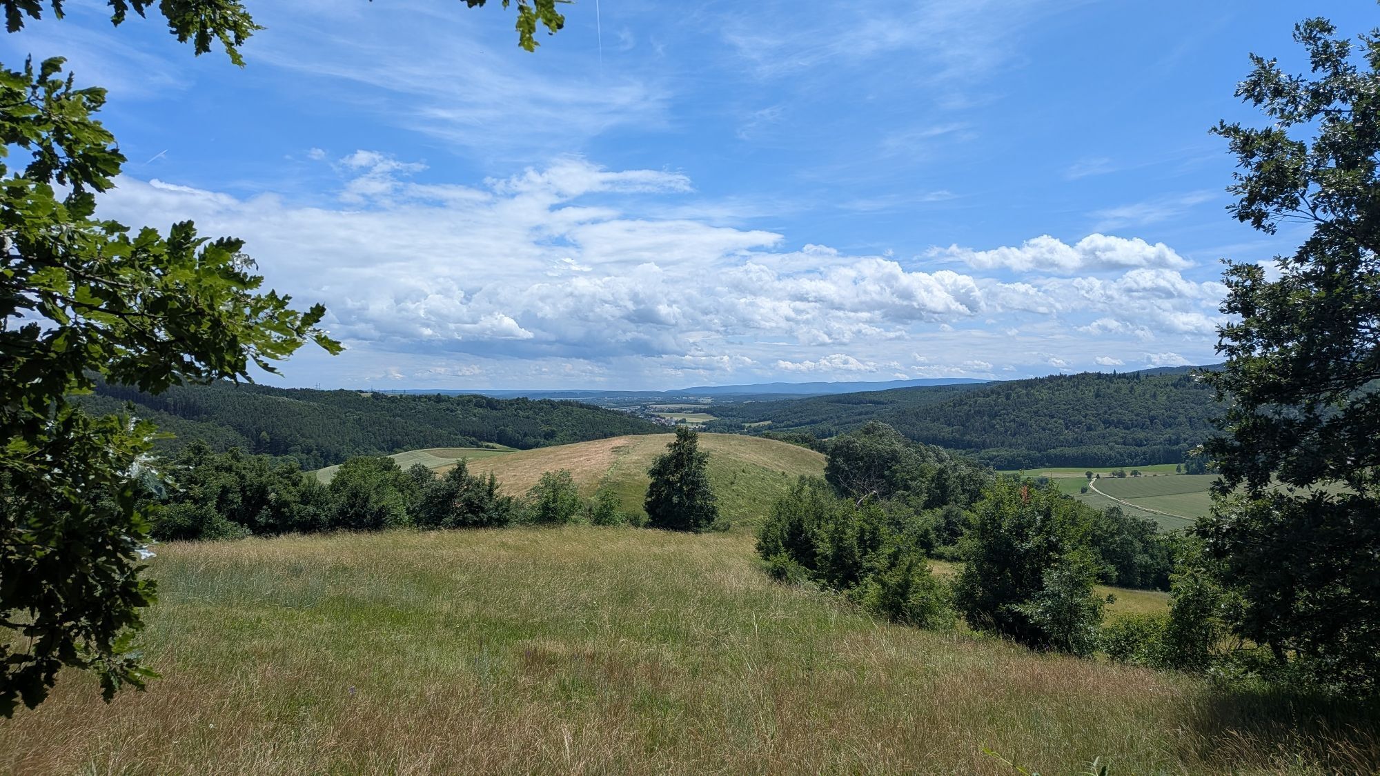
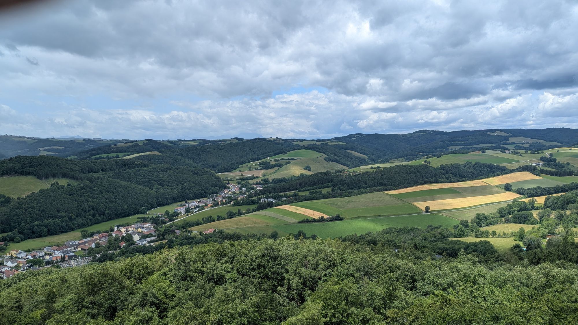
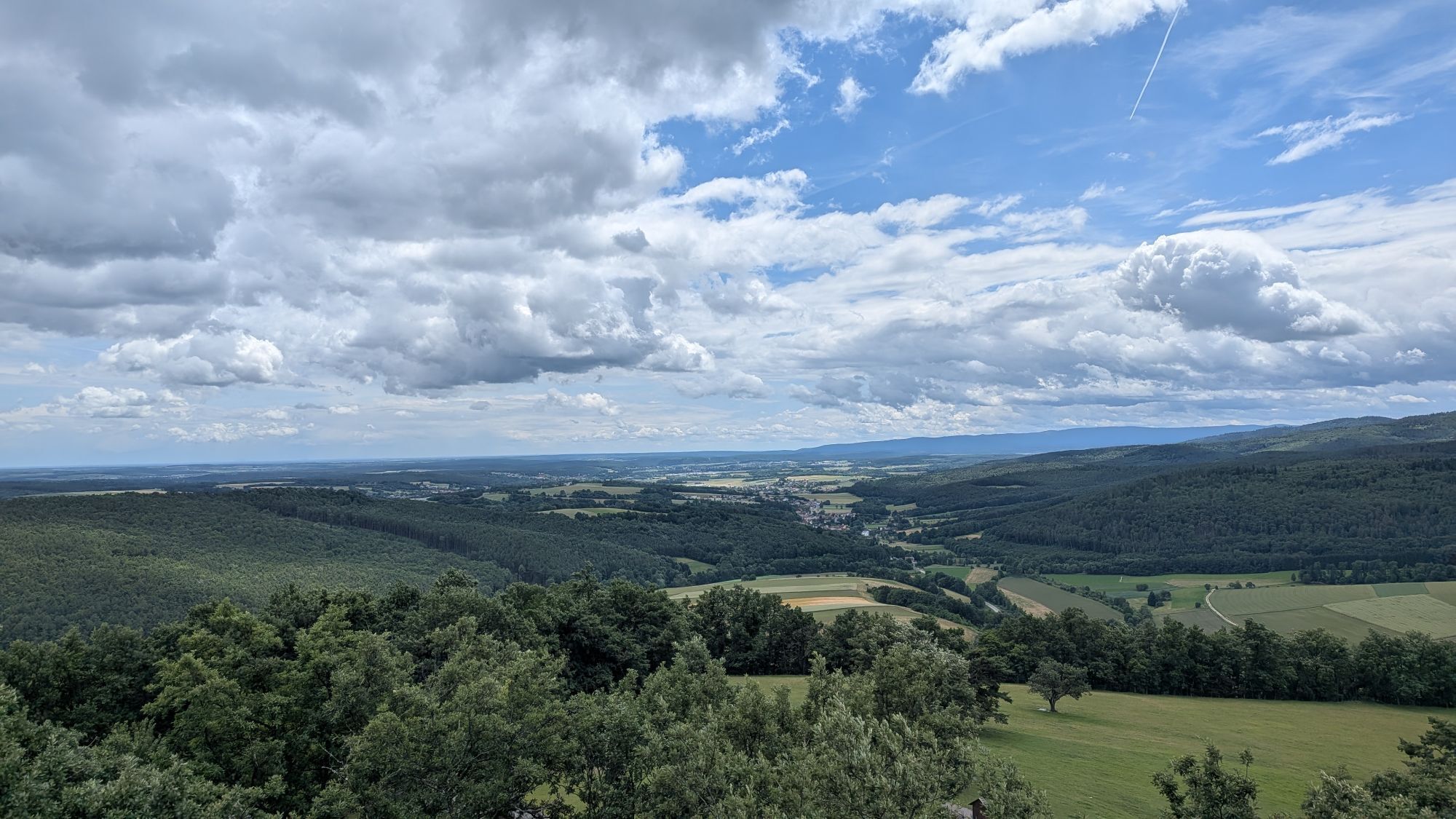

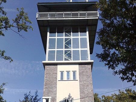

<p>The starting point is the public, free parking lot at Keltenberg. The hiking trail leads towards the Celtic rampart. The route goes straight south until it turns left towards the Bründl chapel. Then the path leads north again, straight to the Trift, after which you continue to the right along the street. As soon as possible, turn right towards the Johann Giefing lookout tower and open-air museum. Then follow the path north back to the parking lot, which is reached after a few kilometers.</p>
<p>Always take suitable <strong>maps</strong> with you. Wear sturdy <strong>shoes</strong> adapted to the route, bring protection against sun and rain, as well as <strong>water</strong> and a small snack. Take your <strong>mobile phone</strong> and store the emergency numbers: Rescue 144 / Mountain rescue 140</p>
<p>Your hikes in the Vienna Alps should be a completely beautiful and safe experience. Please note the following:</p><p><strong>Preparation</strong></p><p>Make sure that the chosen route matches your mountain experience and <strong>fitness</strong>. Check the <strong>weather forecast</strong> beforehand. Weather in the mountains can change surprisingly quickly. Always start appropriately equipped (e.g., rain protection). Check whether the <strong>huts and snack stations</strong> you want to visit are open. <strong>Inform</strong> someone about your route choice and planned return before you start.</p>
<p>From Vienna: Follow the A23 for about five kilometers, then A2, A3, and S31 to Sieggraben, take the exit and follow B50 to Schwarzenbach.</p><p>From Graz: Liebenauer Tangente to Südautobahn, then A2 to exit 66- Grimmenstein, follow B54 to Scheiblingkirchen to L144, then L148 to Schwarzenbach </p>
<p>Several bus connections possible</p><p>From the Sieggraben bus stop, it is about a 20-minute walk to the Celtic village Schwarzenbach</p><p>More information at: <a href="anachb.vor.at/">www.vor.at<...
<p>Public, free parking available at the starting point.</p>
Vienna Alps in Lower Austria, www.wieneralpen.at , +43 / 2622 / 78960
Opening hours: Mon - Thu 08:30 - 16:00 / Fri 08:30 - 13:00
More info about the Celtic festival: www.keltendorf-schwarzenbach.at/keltenfestival
Excursion:
Annual Celtic festival in June
Archaeological open-air museum / Celtic village Schwarzenbach
Celtic park
Johann Giefing lookout tower (barrier-free)
Celtic days
Dining:
Wirtshausbühne Bernhard
dasTurmcafé
Café Restaurant Mößner-Karner
Gasthaus zum Kirchenwirt
Most wia z'Haus

Priljubljeni izleti v okolici
-
4.5
B32 Rosalia Bicycle Trail
srednjaKolesarjenje 58.8 km -
4.3
To the Wiesen/Lanzenkirchen observation tower from the Rosalia
svetlobaPohodništvo 4.25 km -
4.8
Forchtenstein-Rosalienkapelle
svetlobaPohodništvo 7.86 km -
4.1
Rosalia: Lanzenkirchen - Aussichtsturm
svetlobaPohodništvo 11.1 km -
4.6
M32 On the Gspitzter Riegel from Bad Sauerbrunn
srednjaPohodništvo 8.73 km -
4.6
Gespitzter Riegel - Bad Sauerbrunn
svetlobaPohodništvo 8.85 km -
4.7
B30 Kogel Bike Trail
srednjaKolesarjenje 32.0 km -
4.2
MTB Buma Bia - route
težkoMountainbike 25.5 km -
2.9
Sonnenland Draisinentour
svetlobaKolesarjenje 23.0 km -
4.6
MTB Sauerbründl Route
srednjaMountainbike 21.2 km
Pohodništvo in sledenje


Ne zamudite ponudb in navdiha za naslednje počitnice
Vaš e-poštni naslov je bil dodan na poštni seznam.





