


The Towers of the Vienna Woods
Fotografije naših uporabnikov
-
 © Alexander WallensteinerUstvarjeno na 08.09.2022
 -

 © bernhardundernstUstvarjeno na 26.04.2026
 -
 © Reinlinde Trummer MilkovitsUstvarjeno na 26.04.2026
 -
 © Reinlinde Trummer MilkovitsUstvarjeno na 26.04.2026
 -
 © Reinlinde Trummer MilkovitsUstvarjeno na 22.04.2026
 -
 © Reinlinde Trummer MilkovitsUstvarjeno na 21.04.2026
 -
 © Claudia MaurerUstvarjeno na 21.04.2026
 -
 © Claudia MaurerUstvarjeno na 21.04.2026
 -
 © Claudia MaurerUstvarjeno na 20.04.2026
 -
 © Claudia MaurerUstvarjeno na 20.04.2026
 -
 © Claudia MaurerUstvarjeno na 20.04.2026
 -
 © Claudia MaurerUstvarjeno na 20.04.2026
 -
 © Claudia MaurerUstvarjeno na 20.04.2026
 -
 © Claudia MaurerUstvarjeno na 20.04.2026
 -
 © Claudia MaurerUstvarjeno na 20.04.2026
 -
 © Claudia MaurerUstvarjeno na 19.04.2026
 -
 © Claudia MaurerUstvarjeno na 19.04.2026
 -
 © Reinlinde Trummer MilkovitsUstvarjeno na 14.04.2026
 -
 © Reinlinde Trummer MilkovitsUstvarjeno na 13.04.2026
 -

 © OtakuUstvarjeno na 12.04.2026
 -
 © Elisabeth RossaUstvarjeno na 11.04.2026
 -
 © Elisabeth RossaUstvarjeno na 11.04.2026
 -
 © Elisabeth RossaUstvarjeno na 11.04.2026
 -
 © Christian WildfeuerUstvarjeno na 10.04.2026
 -
 © Christian WildfeuerUstvarjeno na 10.04.2026
 -
 © Reinlinde Trummer MilkovitsUstvarjeno na 10.04.2026
 -
 © Reinlinde Trummer MilkovitsUstvarjeno na 07.04.2026
 -
 © Reinlinde Trummer MilkovitsUstvarjeno na 06.04.2026
 -
 © AndreasUstvarjeno na 02.04.2026
 -
 © Reinlinde Trummer MilkovitsUstvarjeno na 02.04.2026
 -
 © AndreasUstvarjeno na 02.04.2026
 -
 © Reinlinde Trummer MilkovitsUstvarjeno na 31.03.2026
 -
 © Reinlinde Trummer MilkovitsUstvarjeno na 27.03.2026
 -
 © Reinlinde Trummer MilkovitsUstvarjeno na 23.03.2026
 -
 © Robert8992Ustvarjeno na 22.03.2026
 -
 © EderoUstvarjeno na 21.03.2026
 -
 © RS76Ustvarjeno na 19.03.2026
 -
 © RS76Ustvarjeno na 19.03.2026
 -
 © Reinlinde Trummer MilkovitsUstvarjeno na 17.03.2026
 -
 © glanzisUstvarjeno na 14.03.2026
 -
 © bergwolfiUstvarjeno na 14.03.2026
 -
 © Reinlinde Trummer MilkovitsUstvarjeno na 13.03.2026
 -
 © Martin1967Ustvarjeno na 08.03.2026
 -
 © Martin1967Ustvarjeno na 08.03.2026
 -
 © tjiongUstvarjeno na 07.03.2026
 -
 © Andreas CapUstvarjeno na 01.03.2026
 -
 © Kurz und gut Unsere FamiliennotizenUstvarjeno na 28.02.2026
 -
 © Kurz und gut Unsere FamiliennotizenUstvarjeno na 28.02.2026

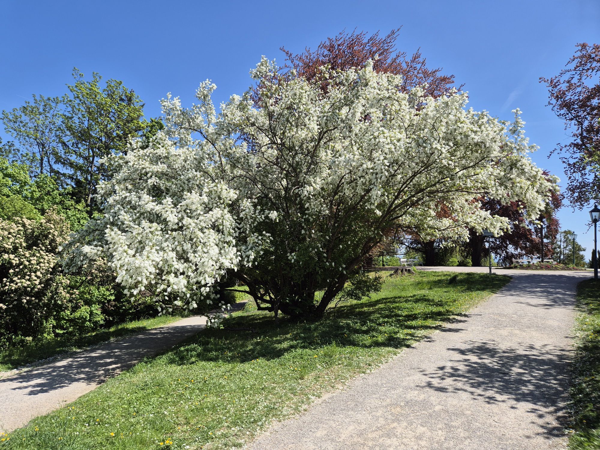

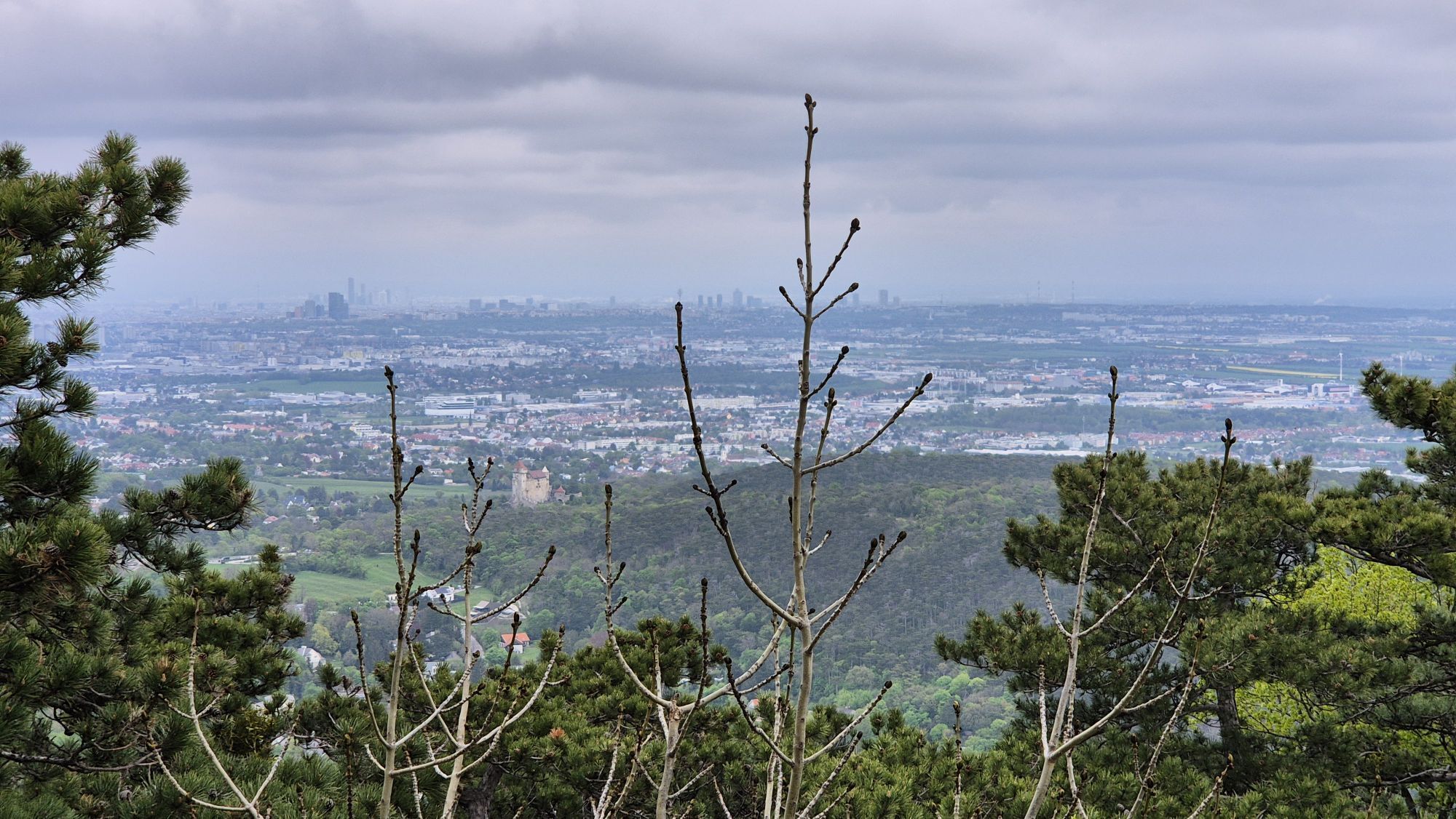
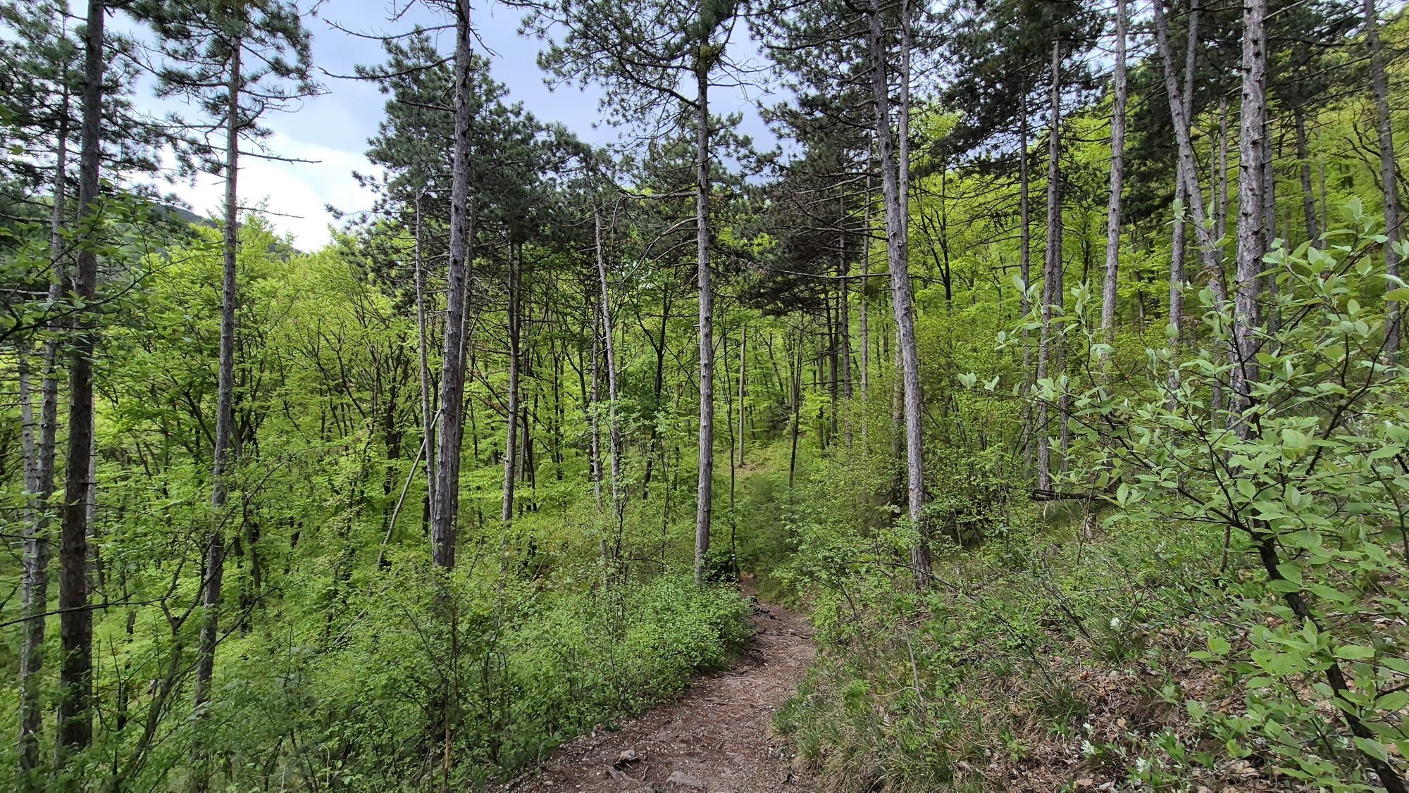
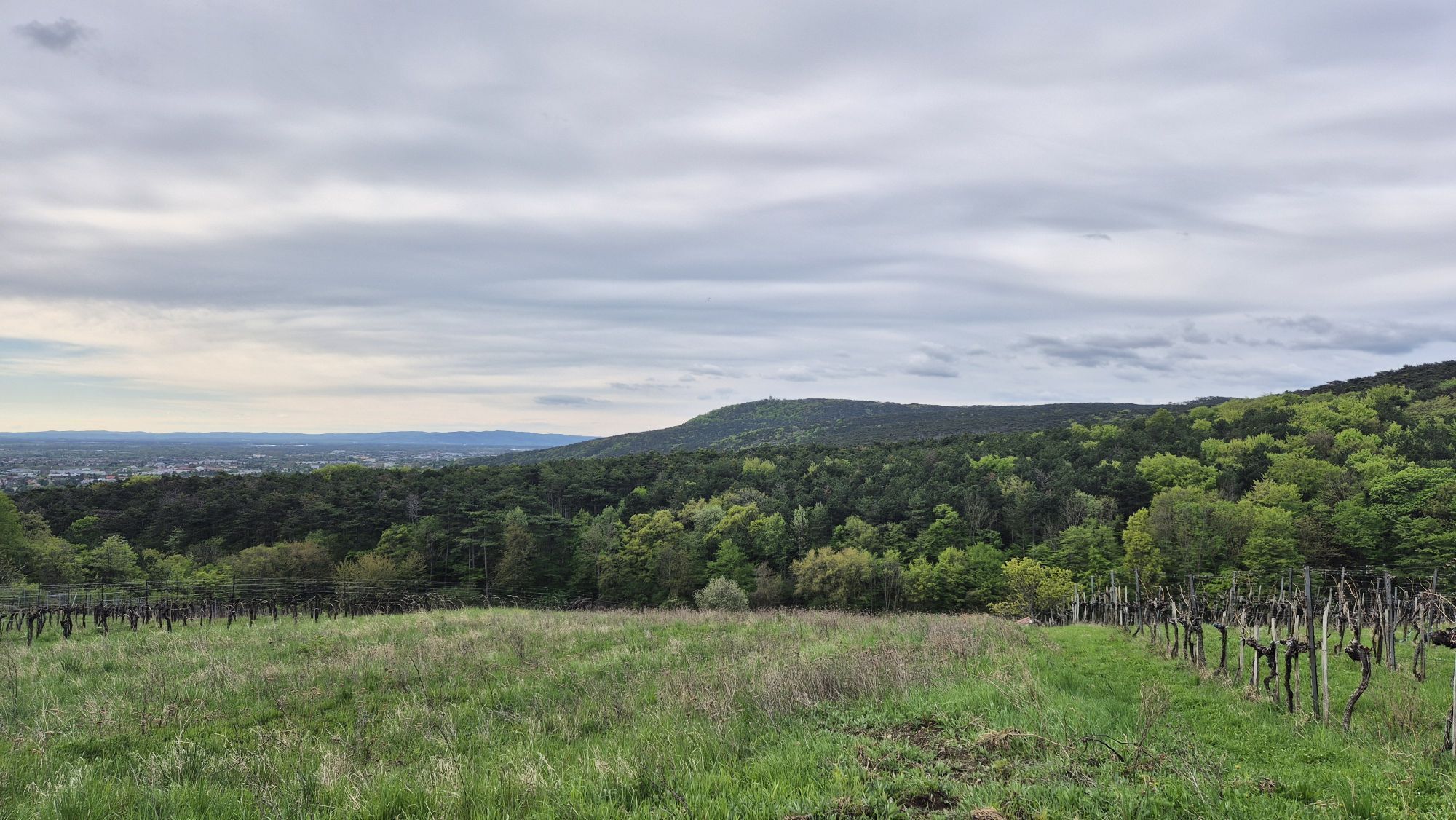
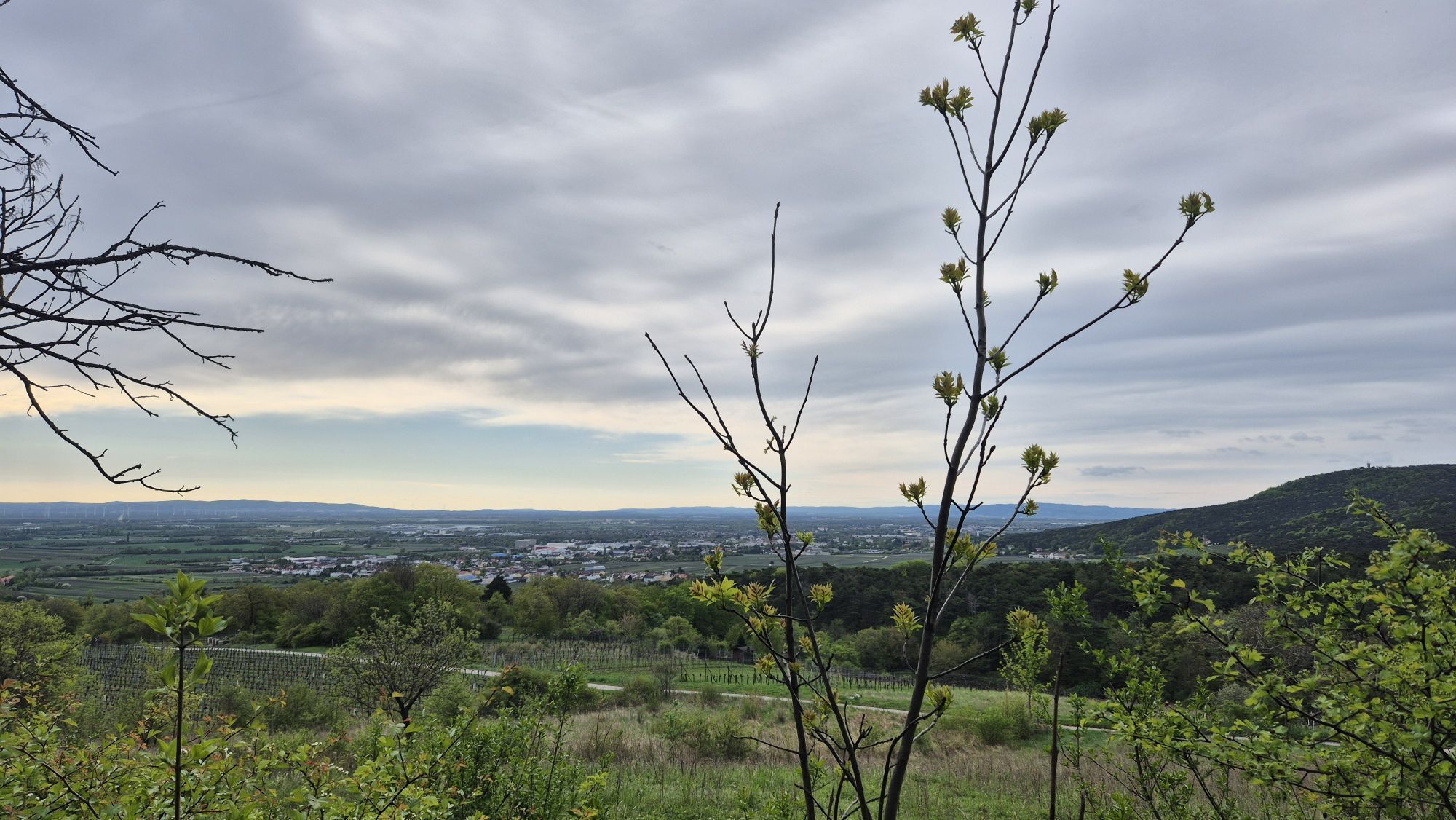
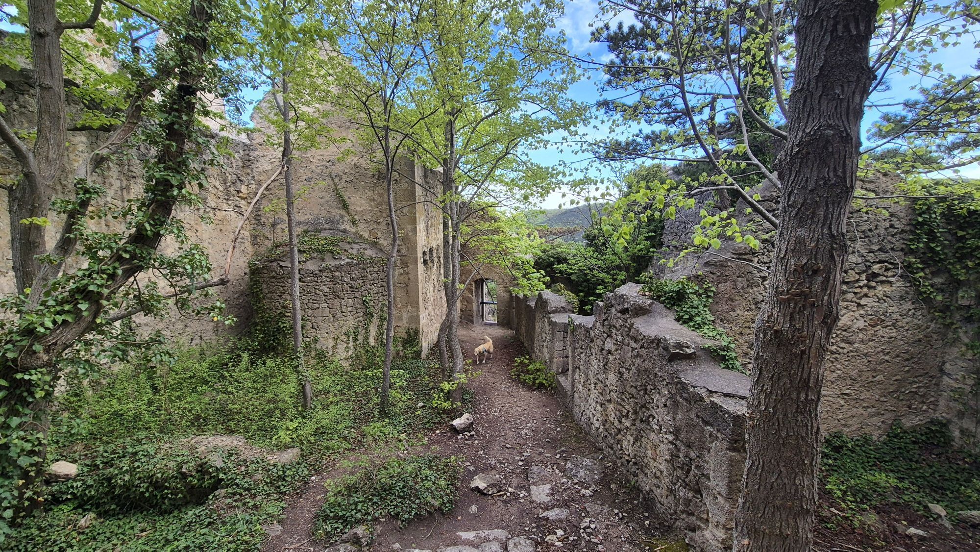


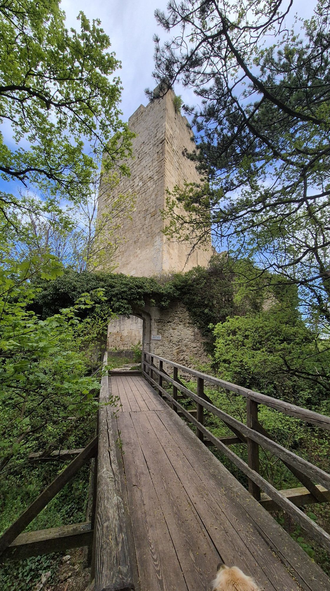

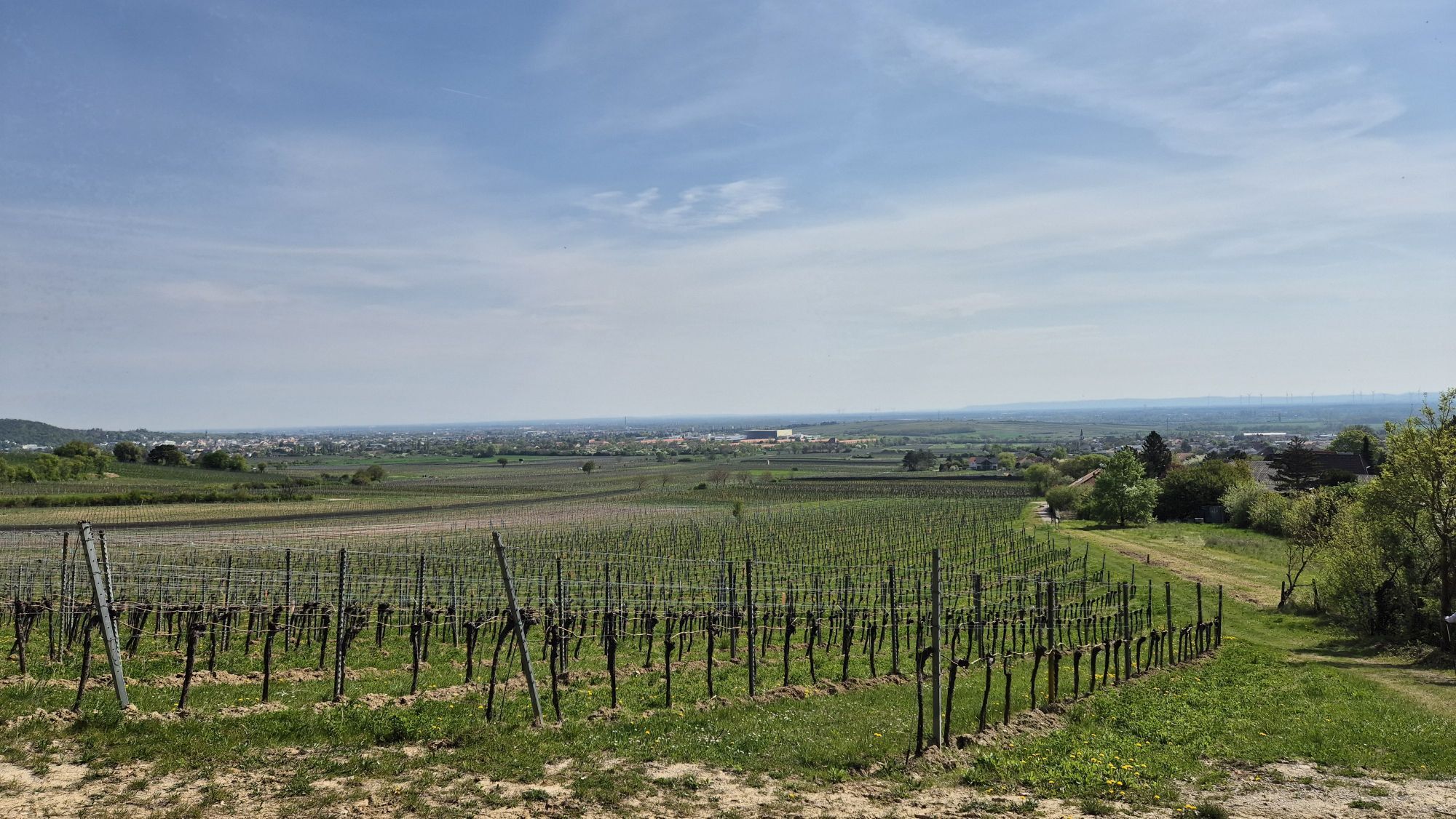
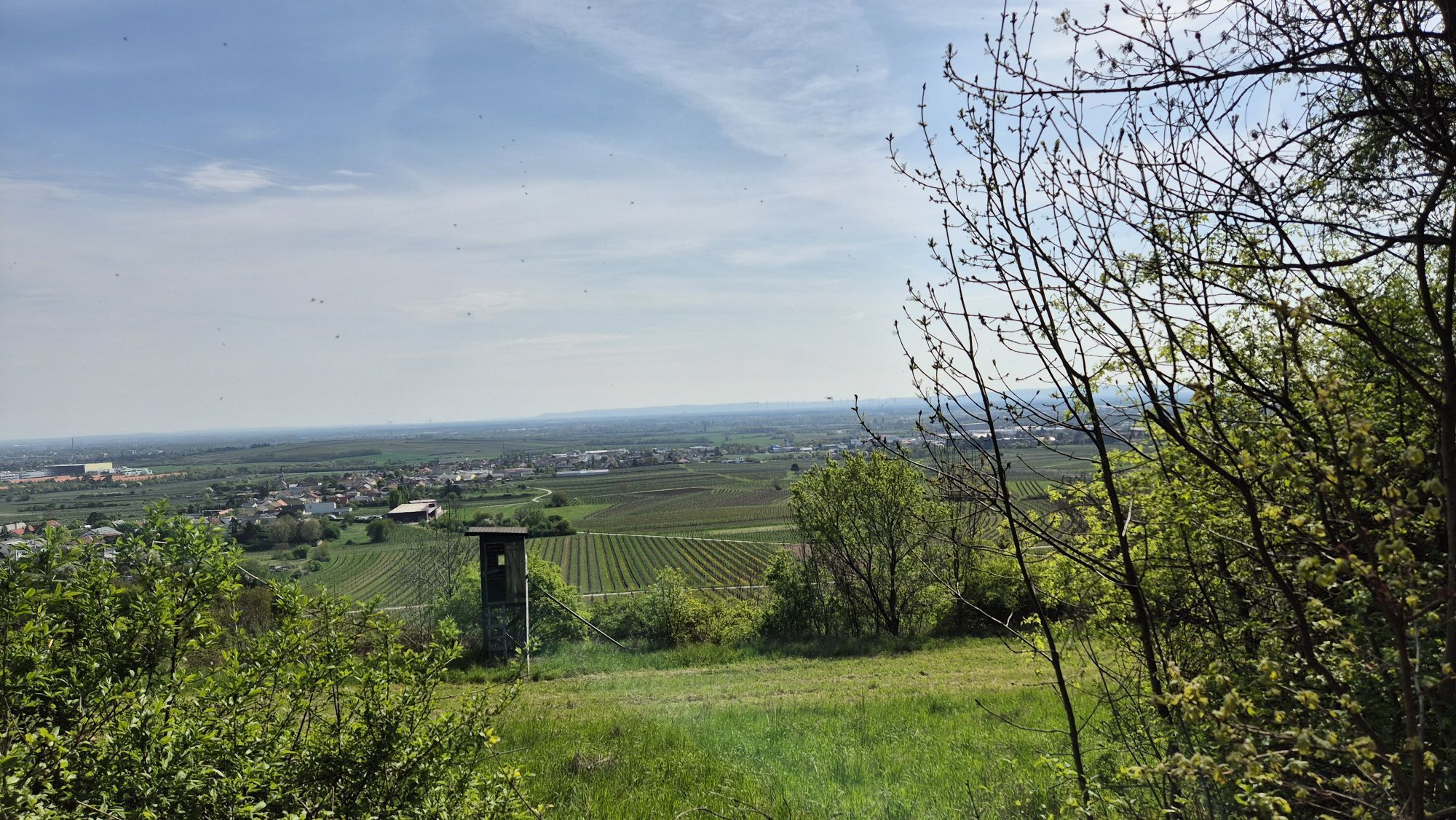
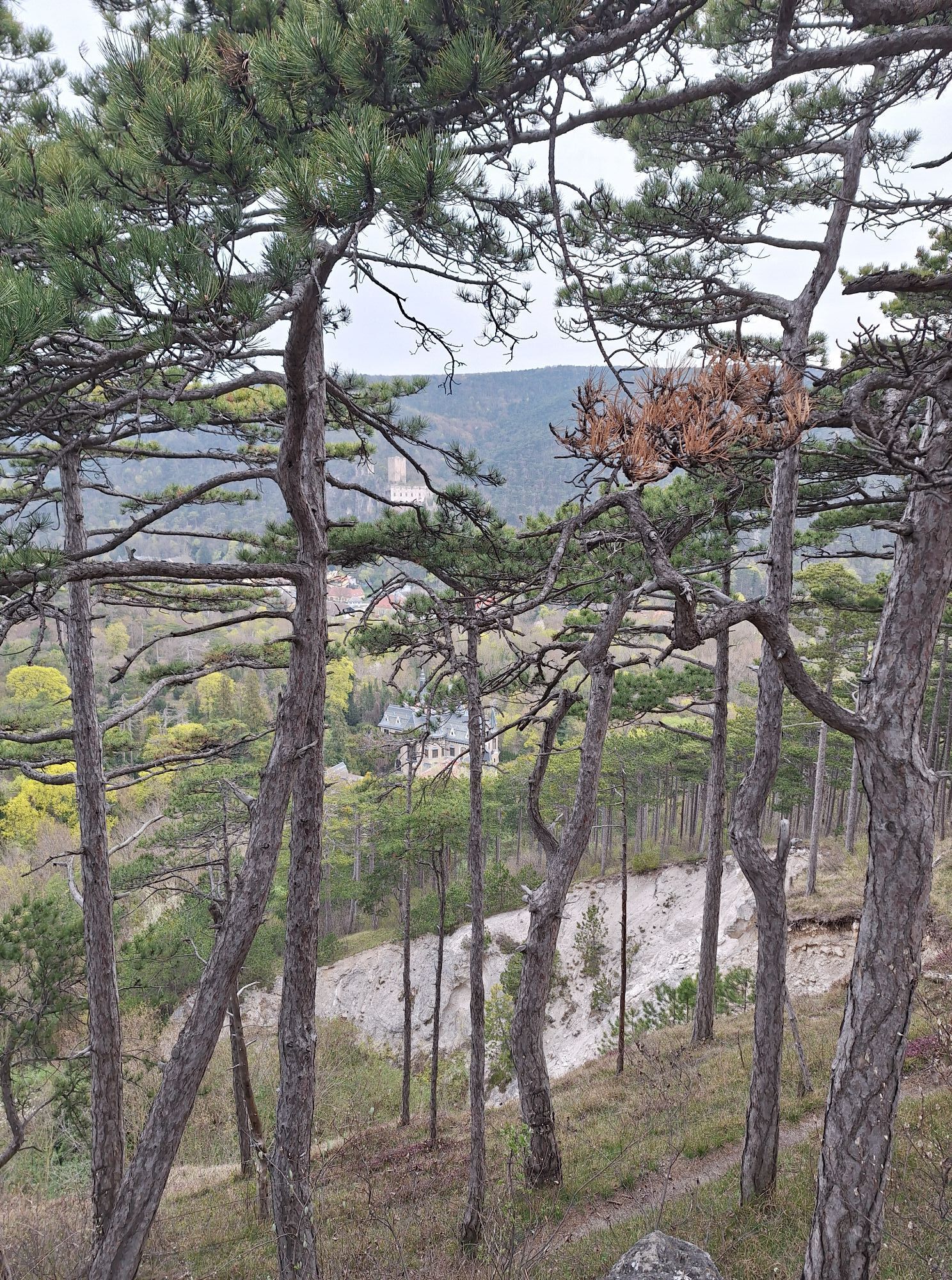
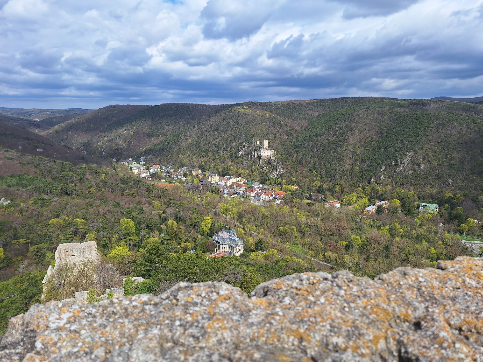

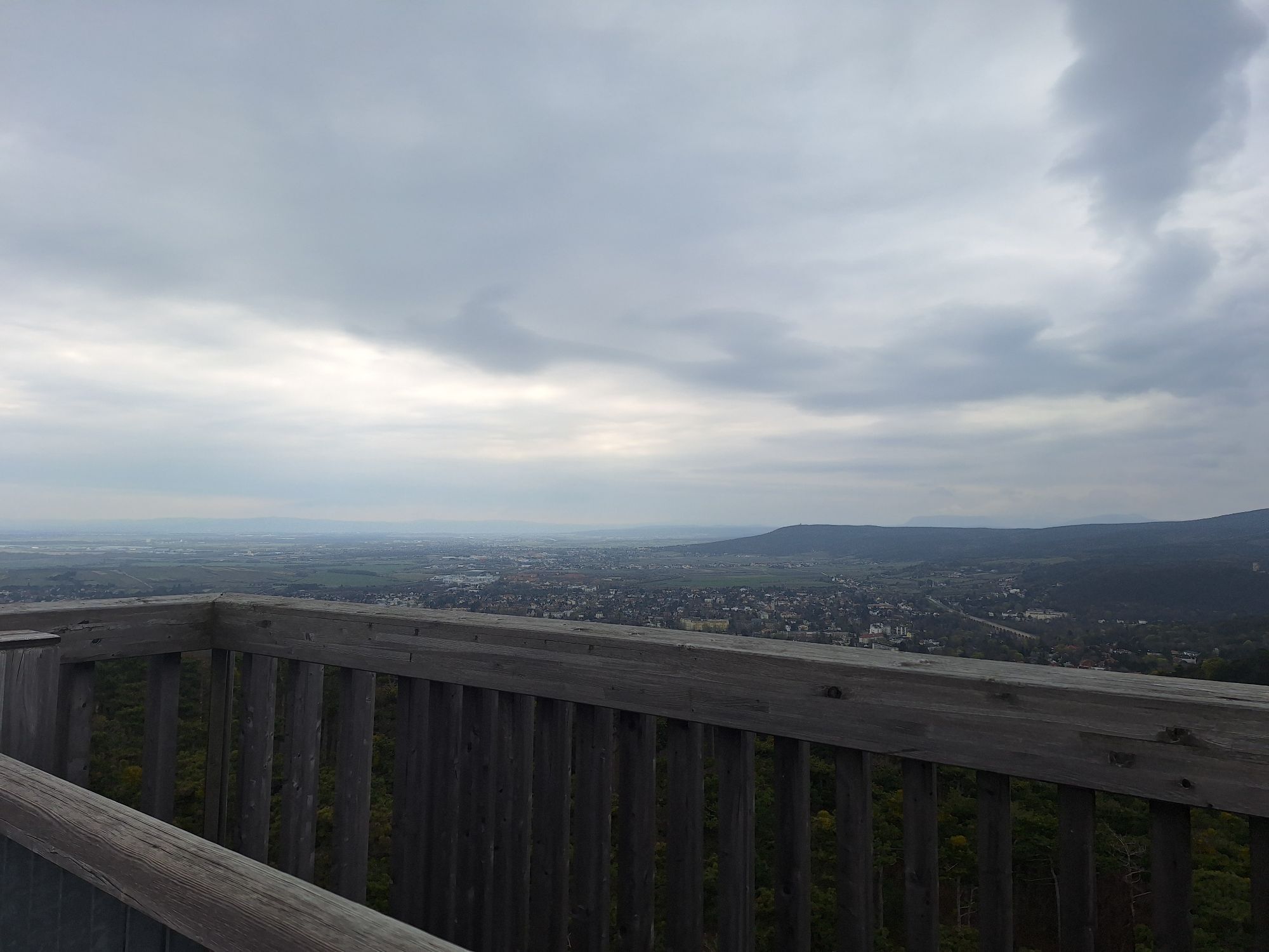
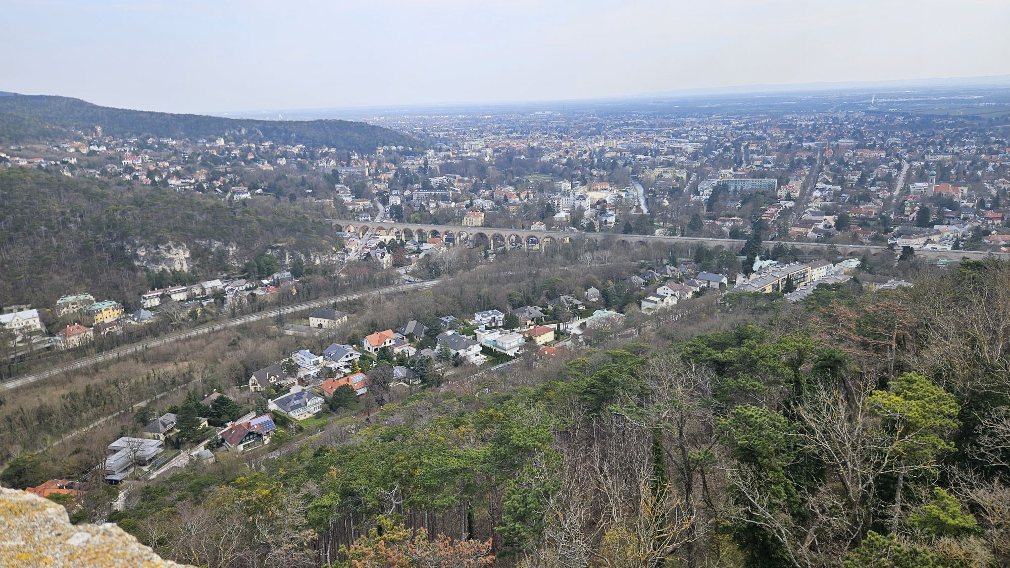
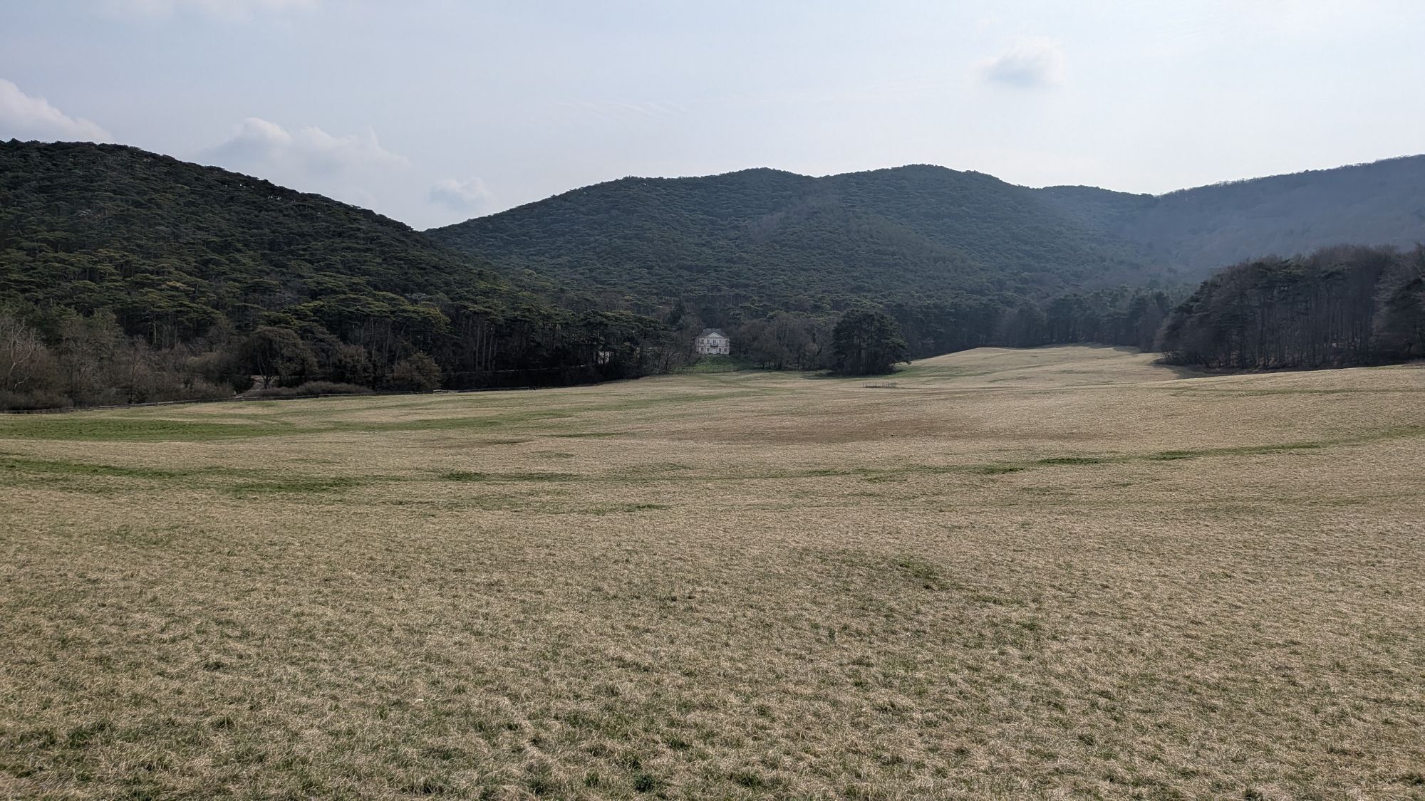
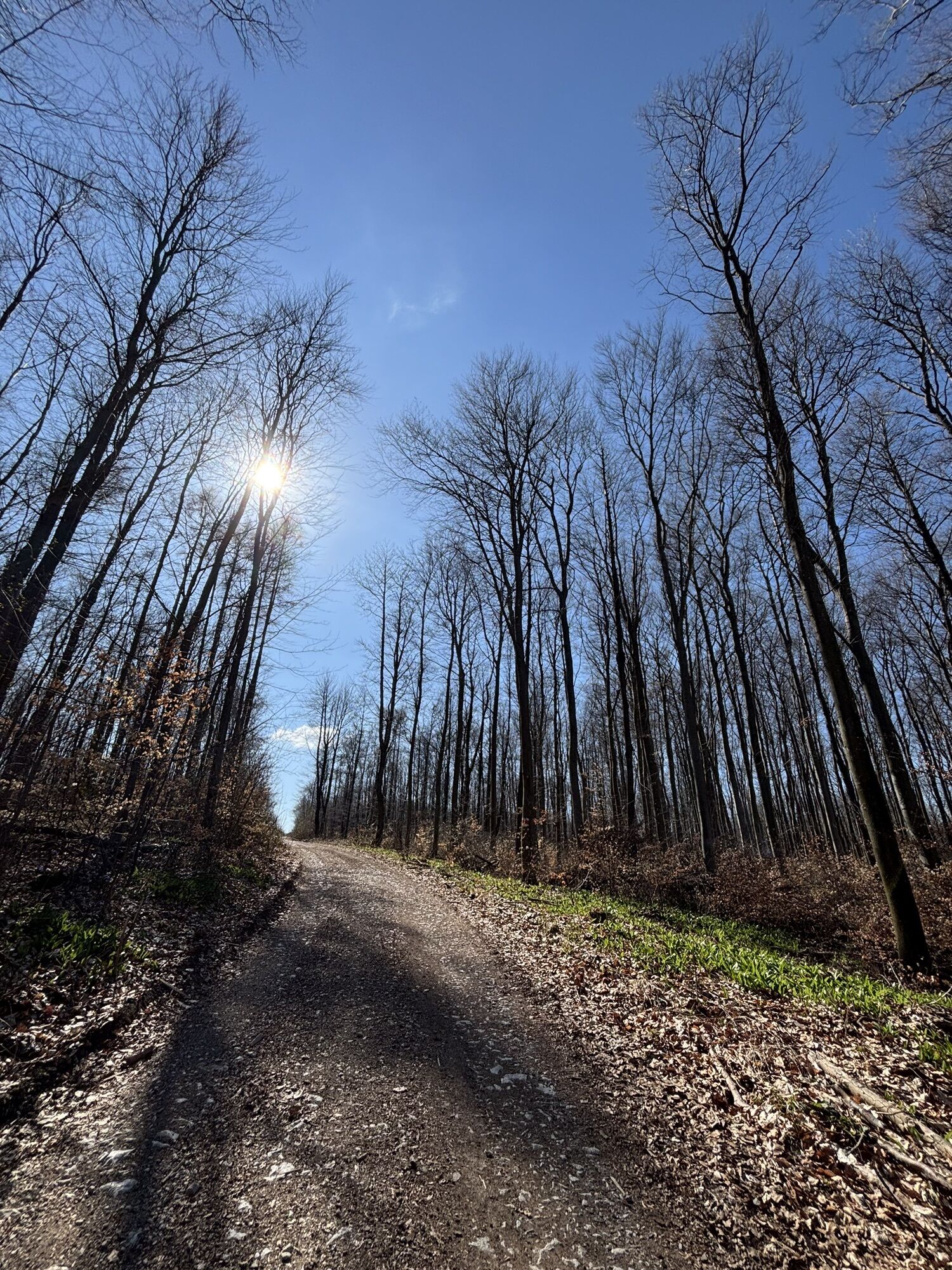
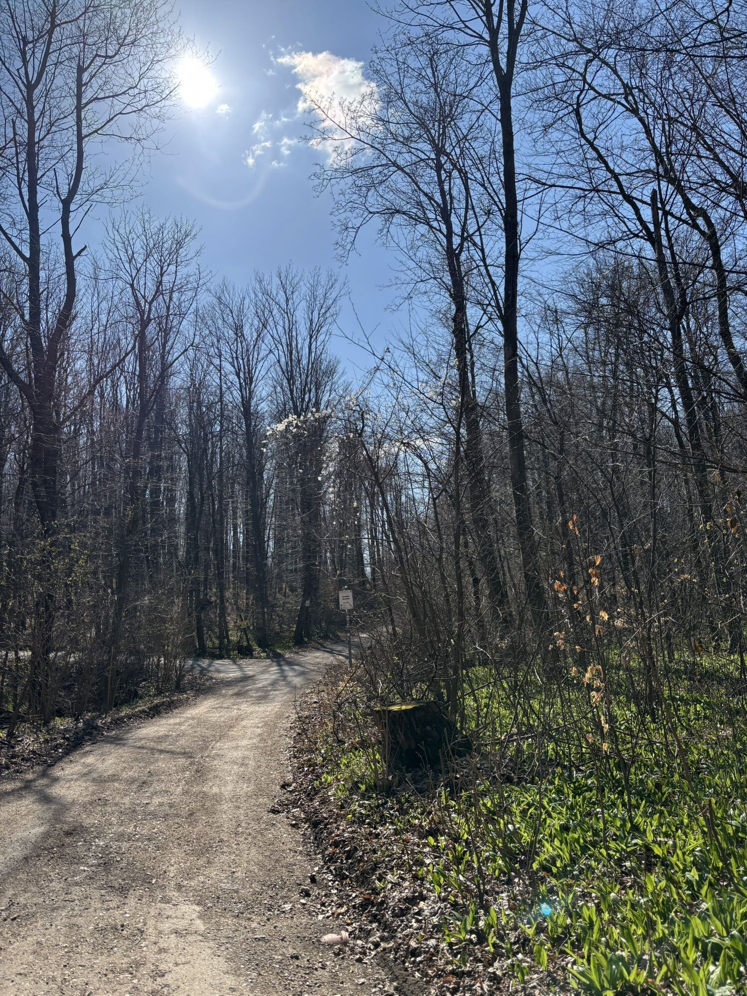

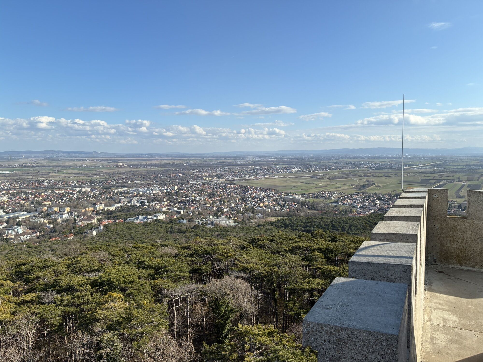


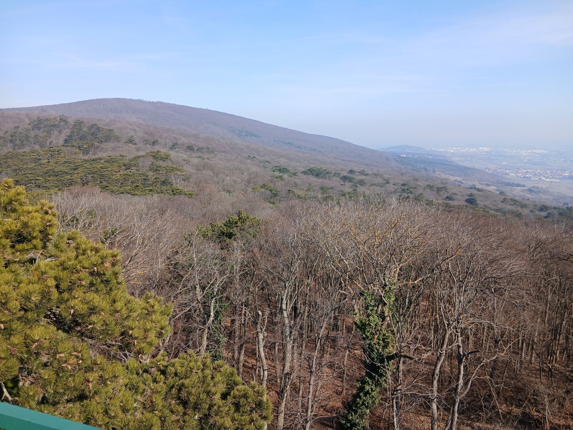
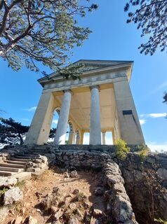
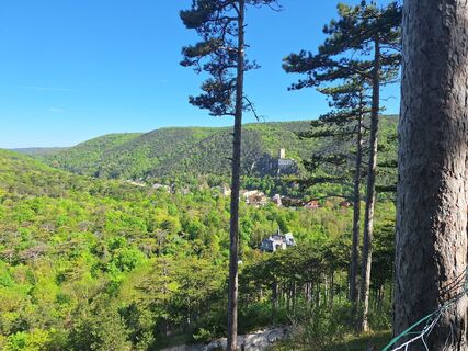
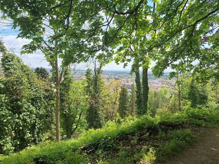
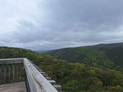
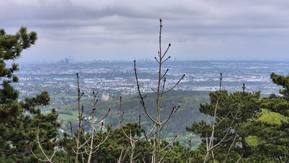
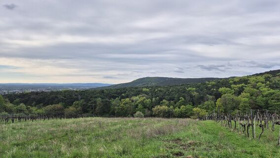
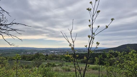
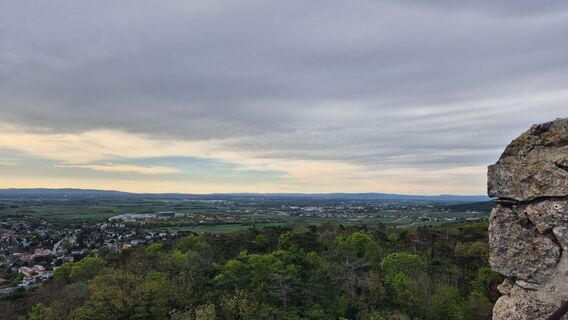
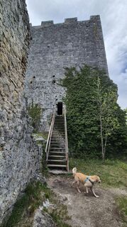
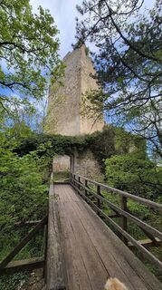
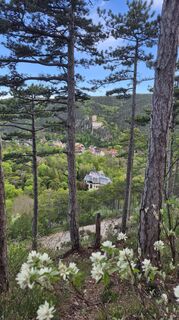
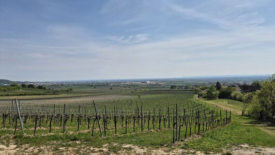
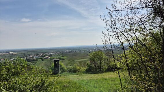
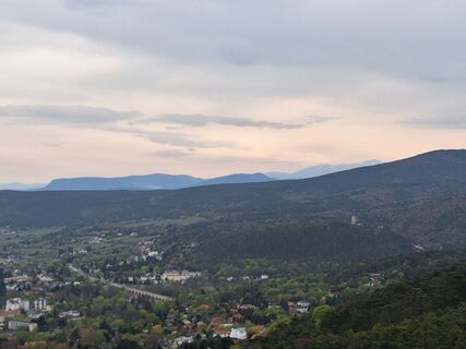
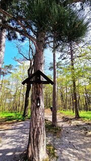
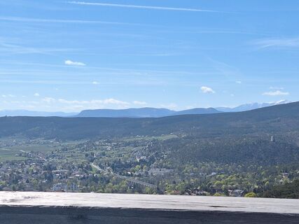
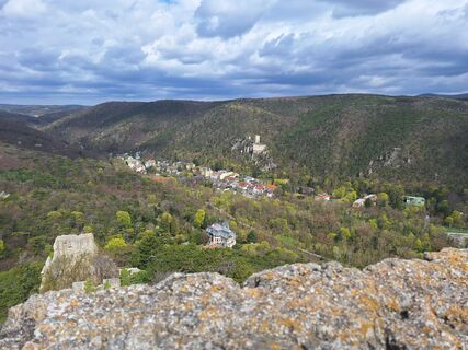
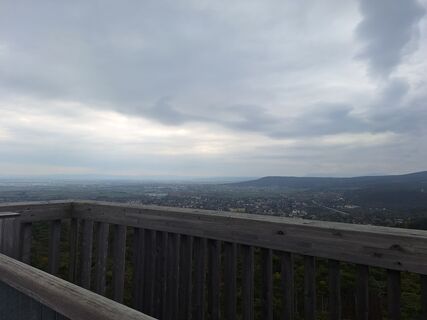
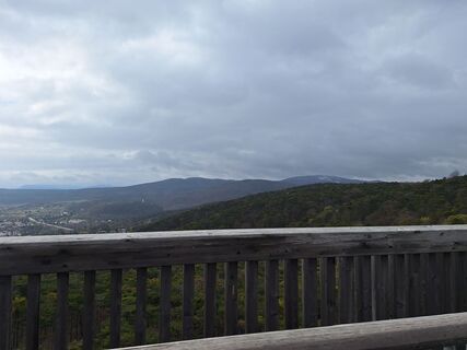
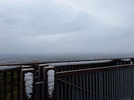
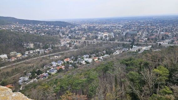
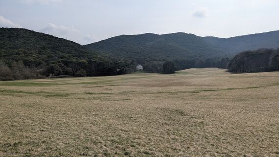
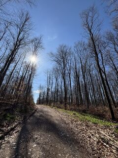
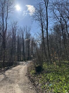
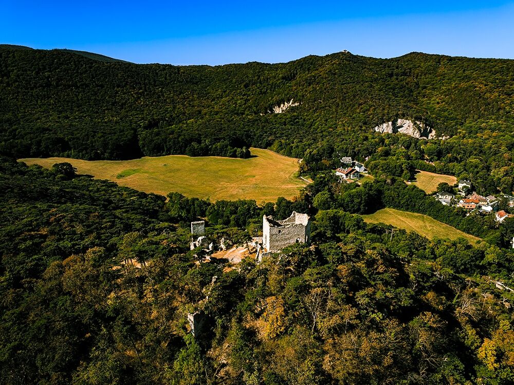
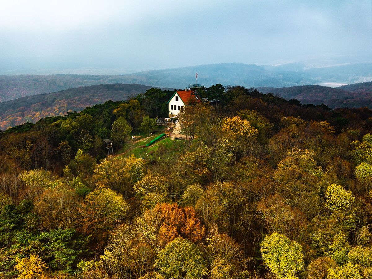
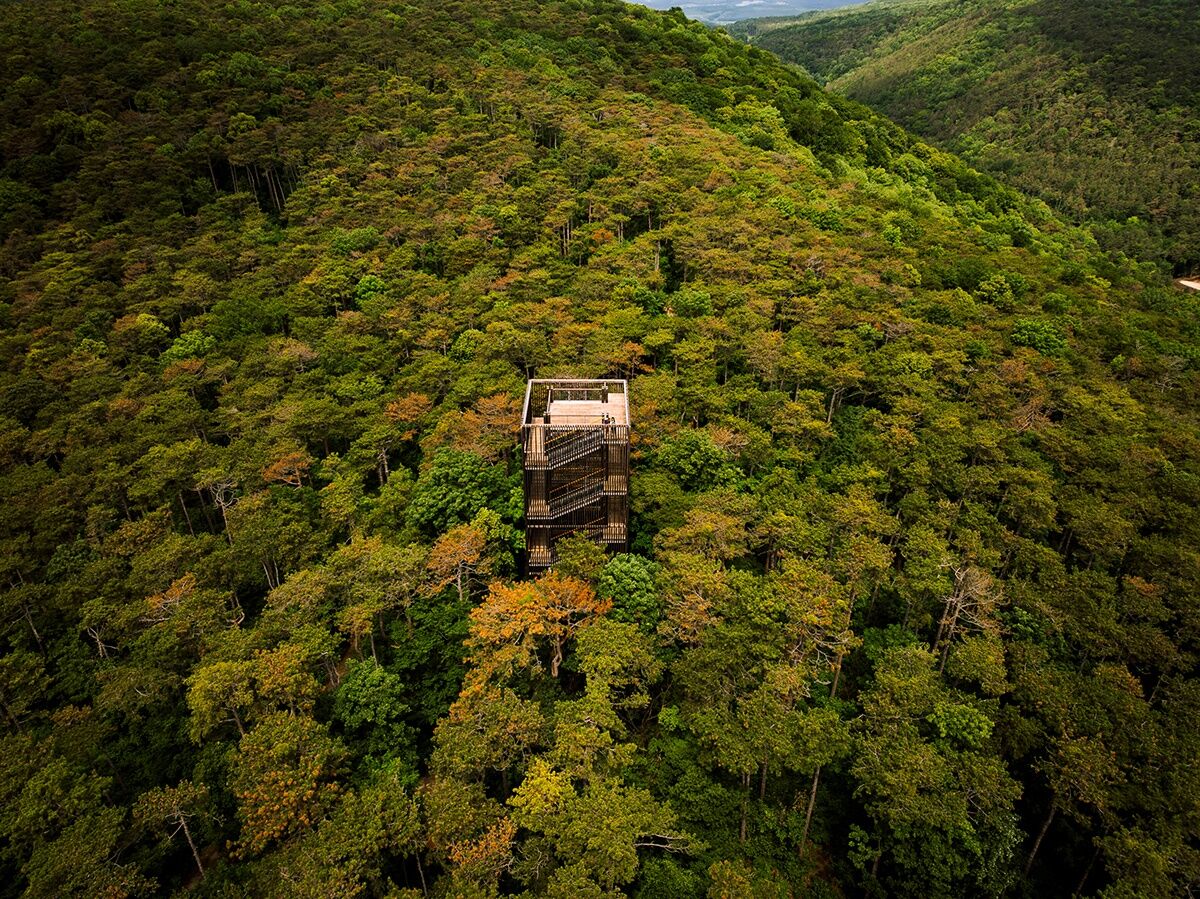
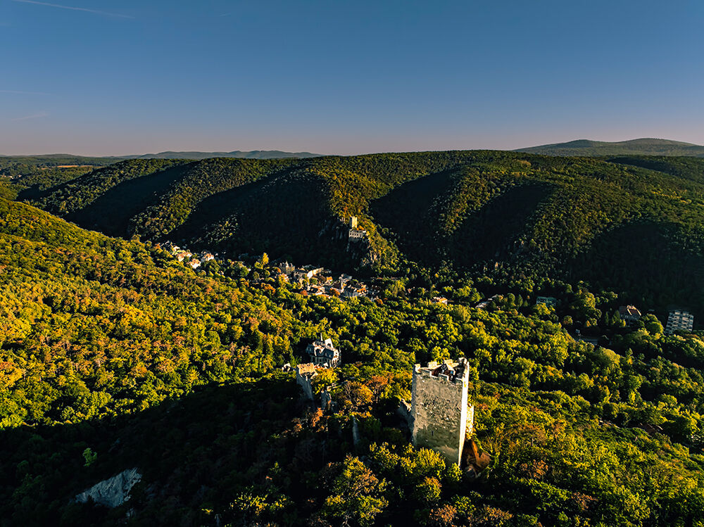
The impressive themed hike stretches over 27 km from one observation tower to the next. The so-called "Towers of the Vienna Woods" line the path as rewarding small goals, each telling its own story. The...
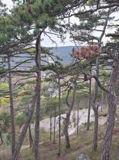
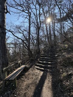
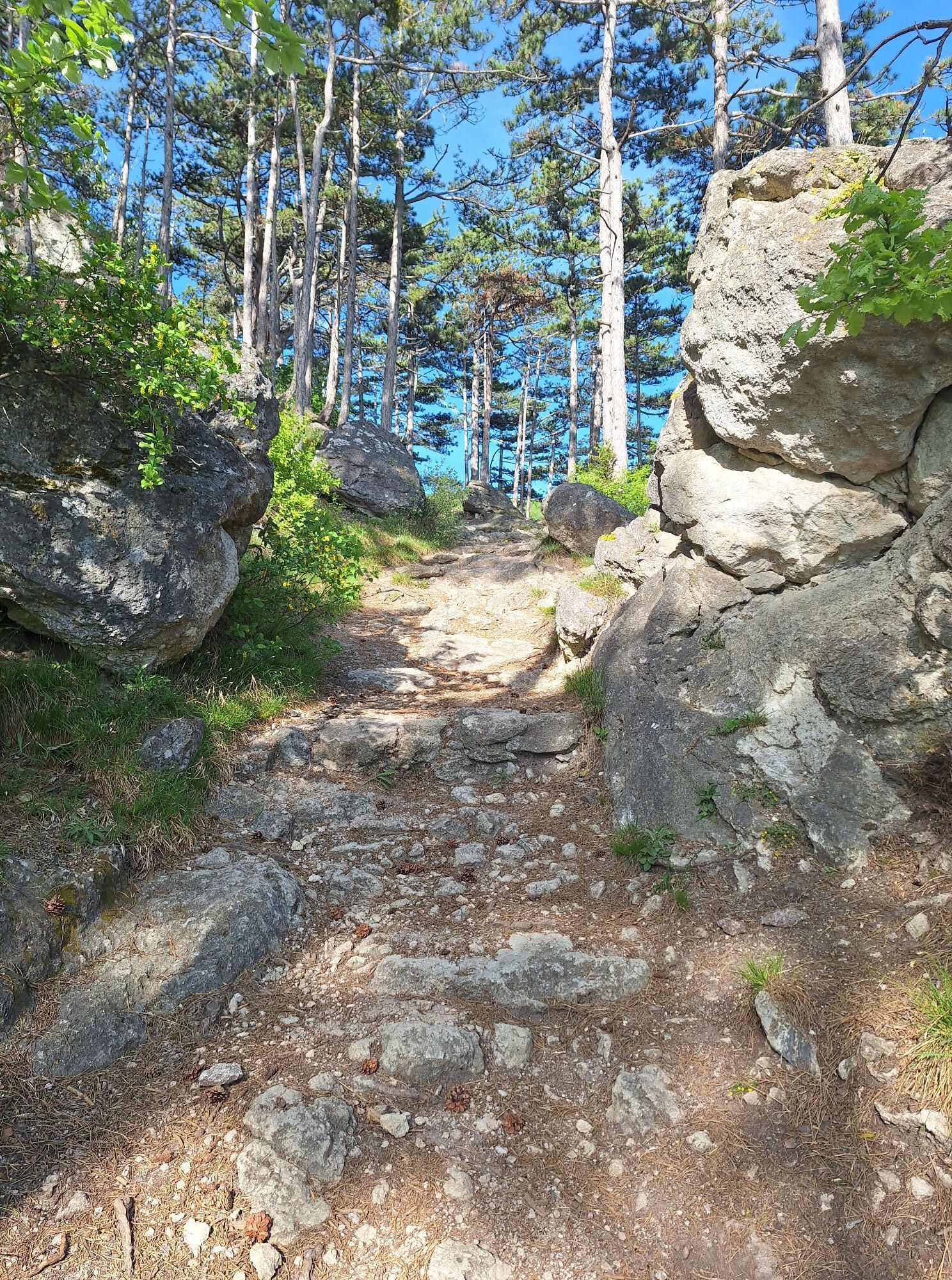
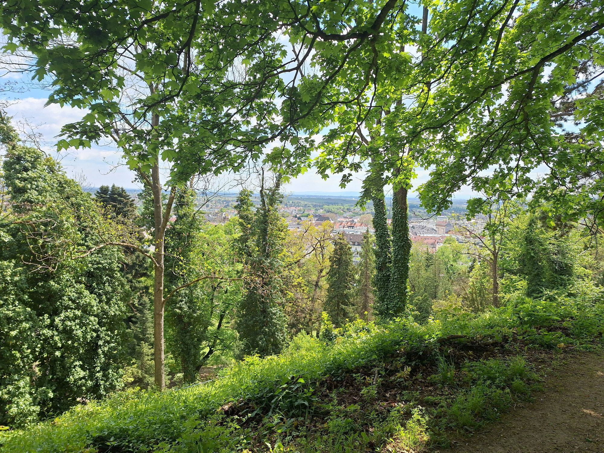
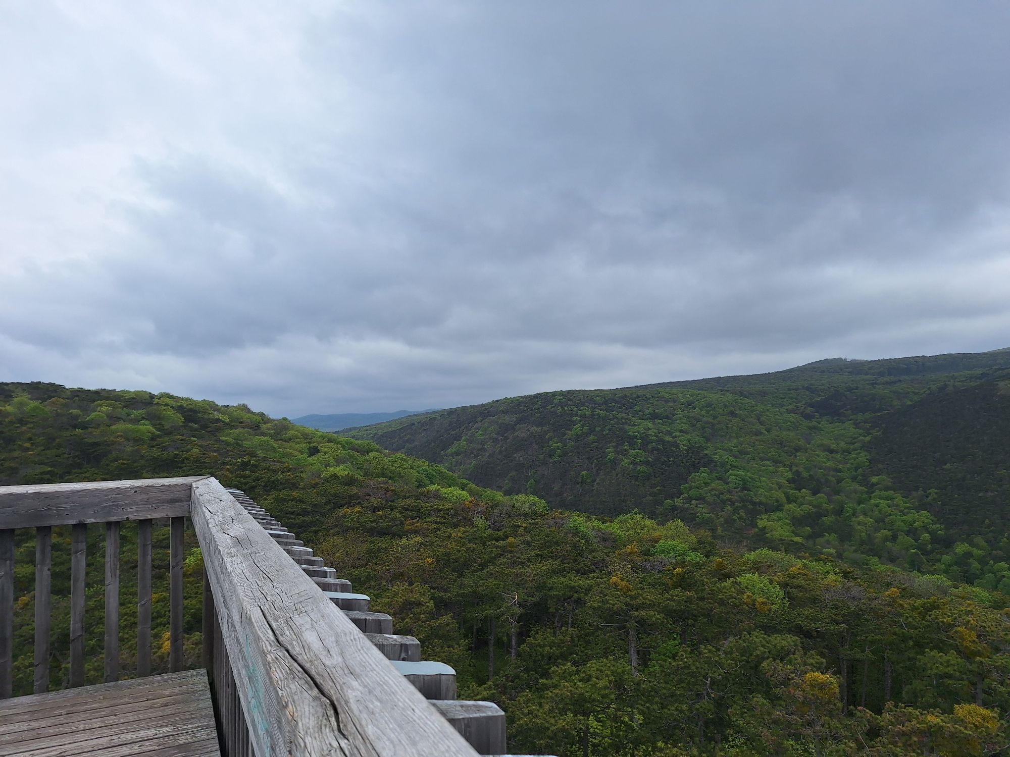
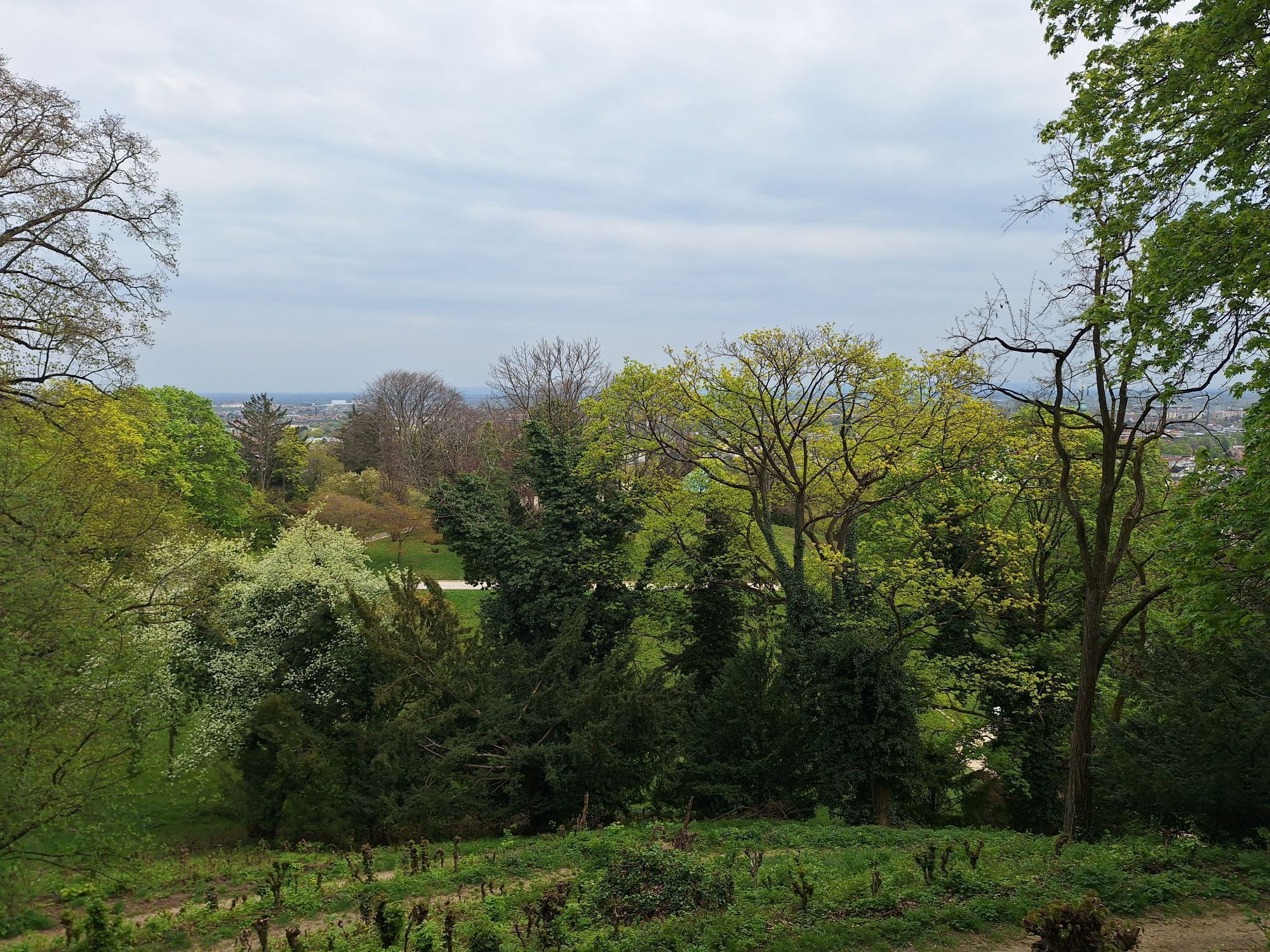
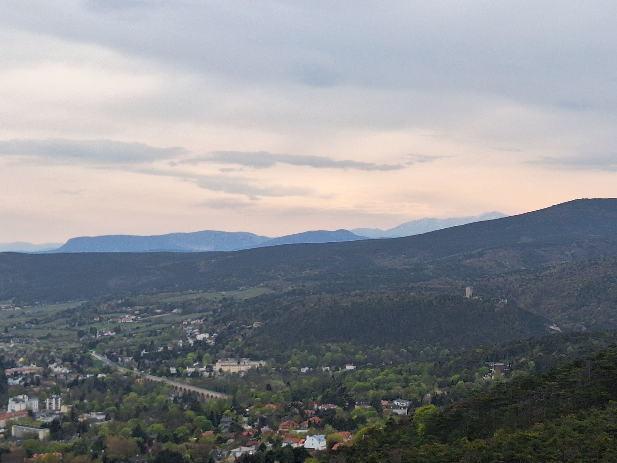
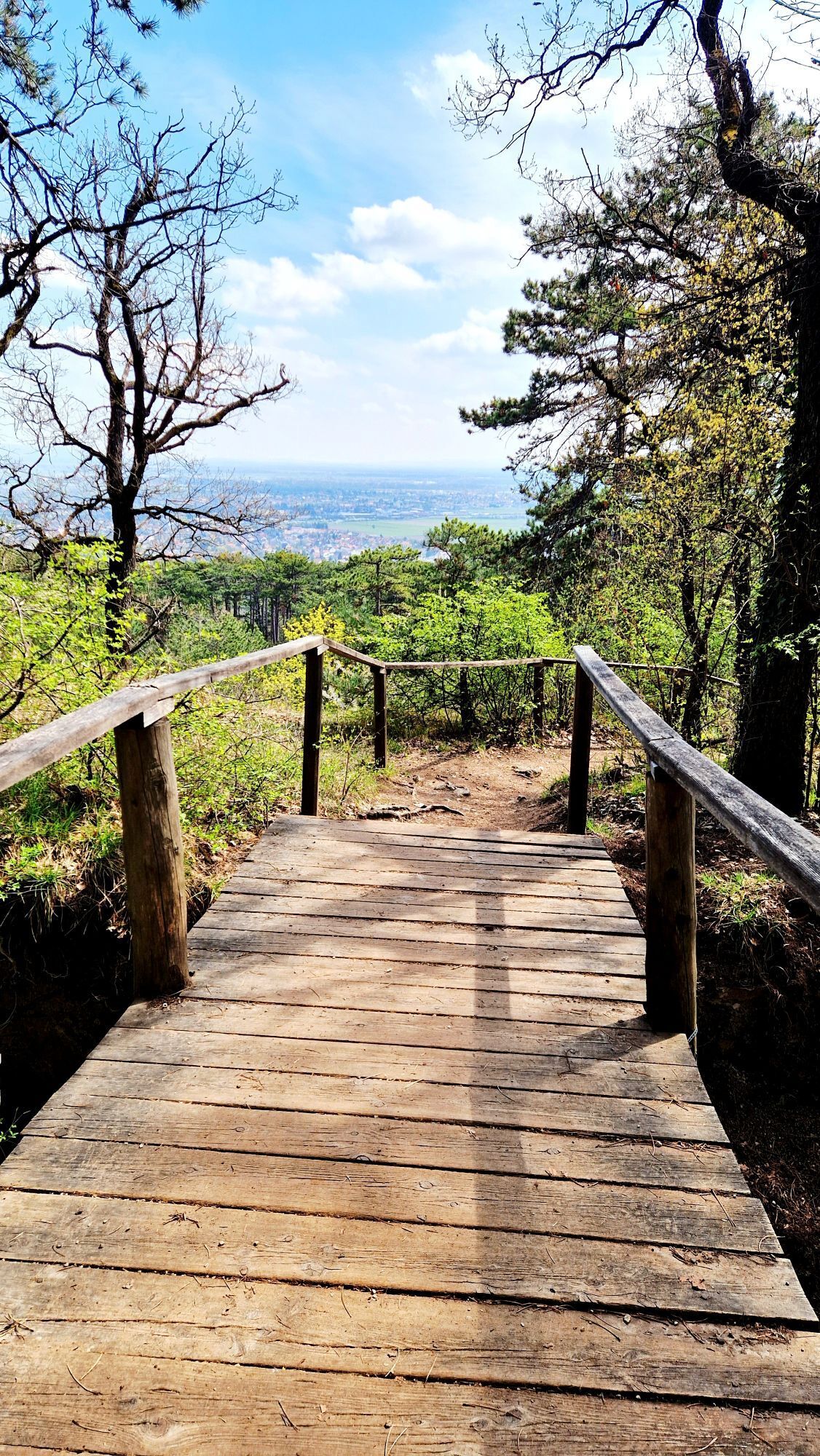
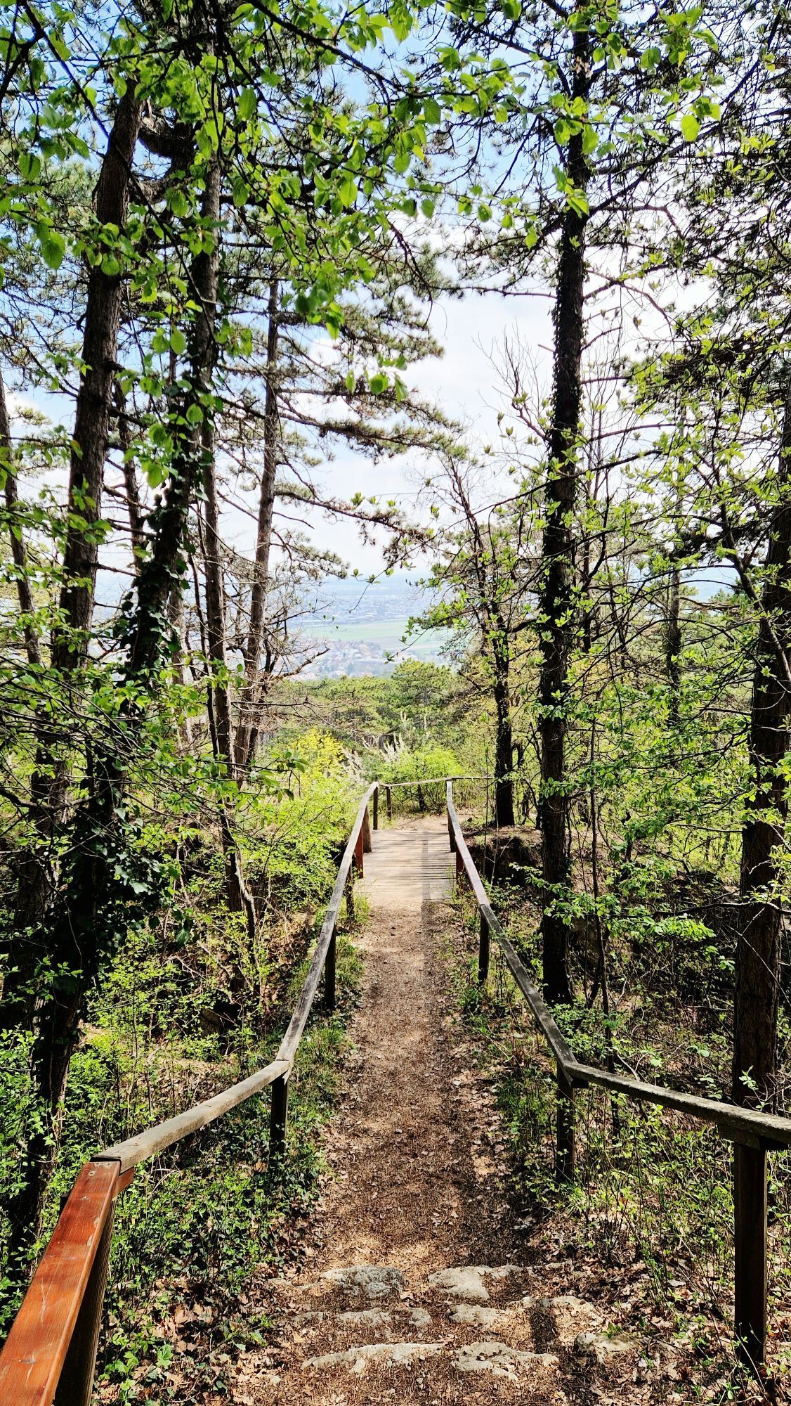
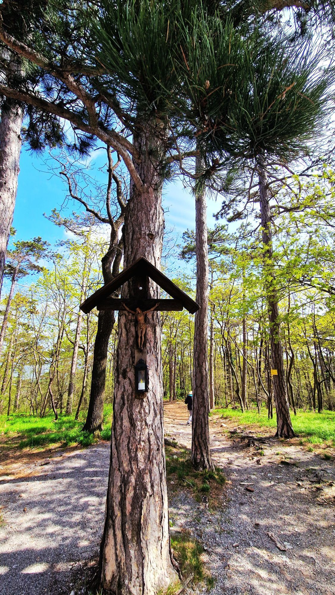
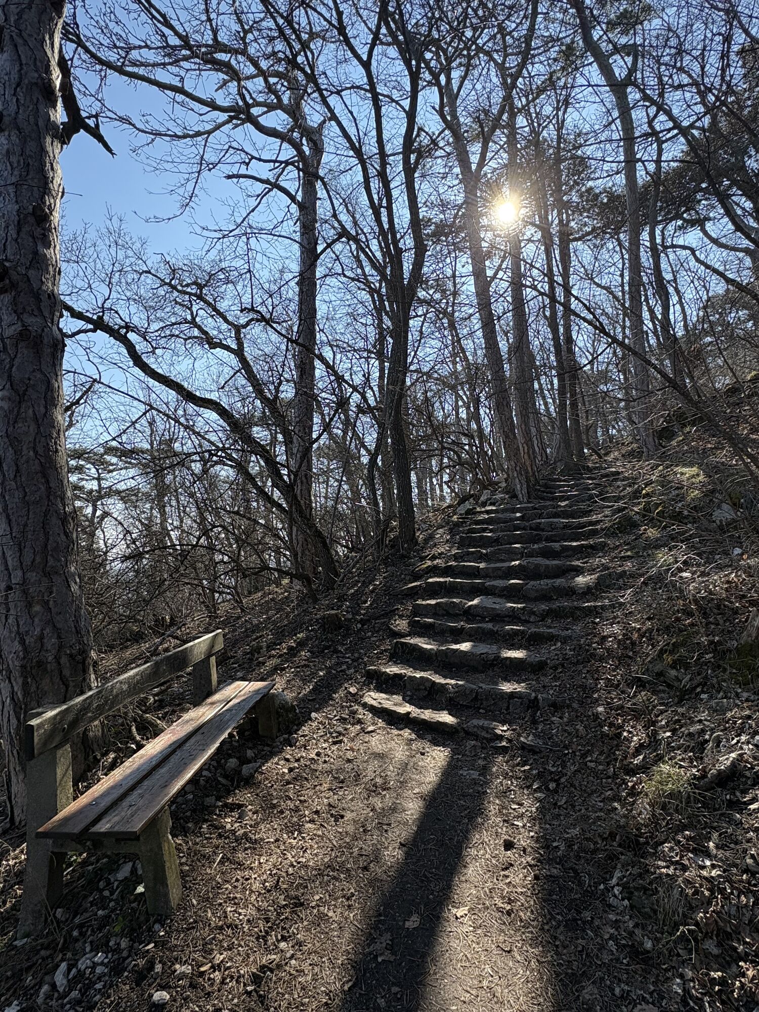
The impressive themed hike stretches over 27 km from one observation tower to the next. The so-called "Towers of the Vienna Woods" line the path as rewarding small goals, each telling its own story. The recently expanded and signposted network of hiking trails allows good orientation, although the themed hike itself is not signposted. The hike is easy, but sturdy footwear is recommended, as a total of 1150 meters of altitude must be overcome to reach the heights, partly via root-rich forest paths.
The "towers" along the themed hike from Mödling to Bad Vöslau at a glance:
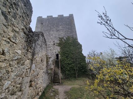
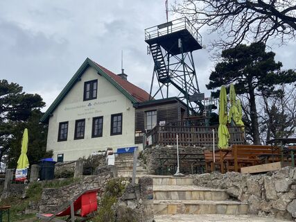
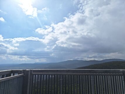
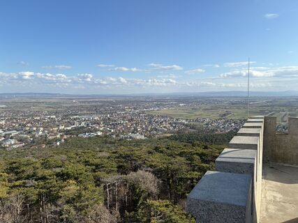
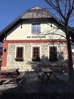
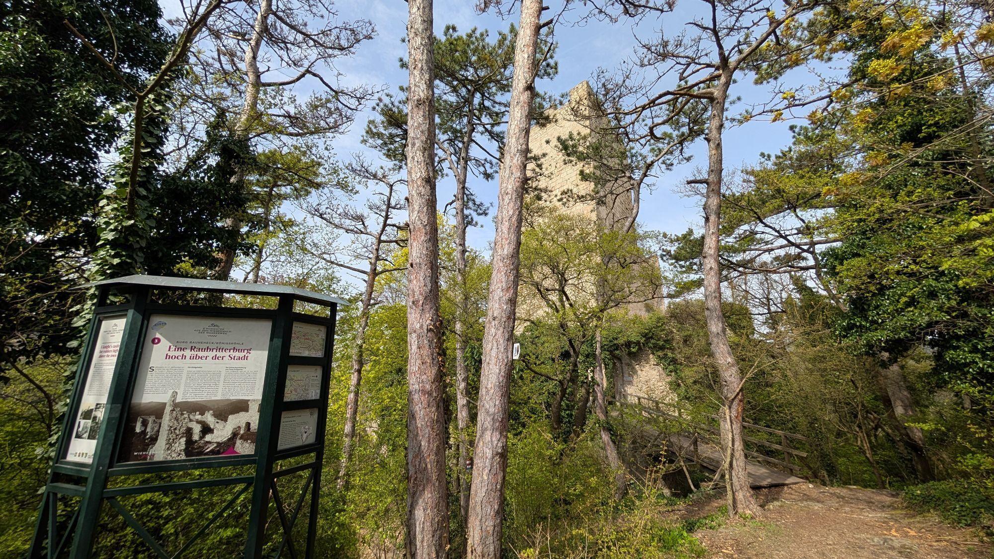
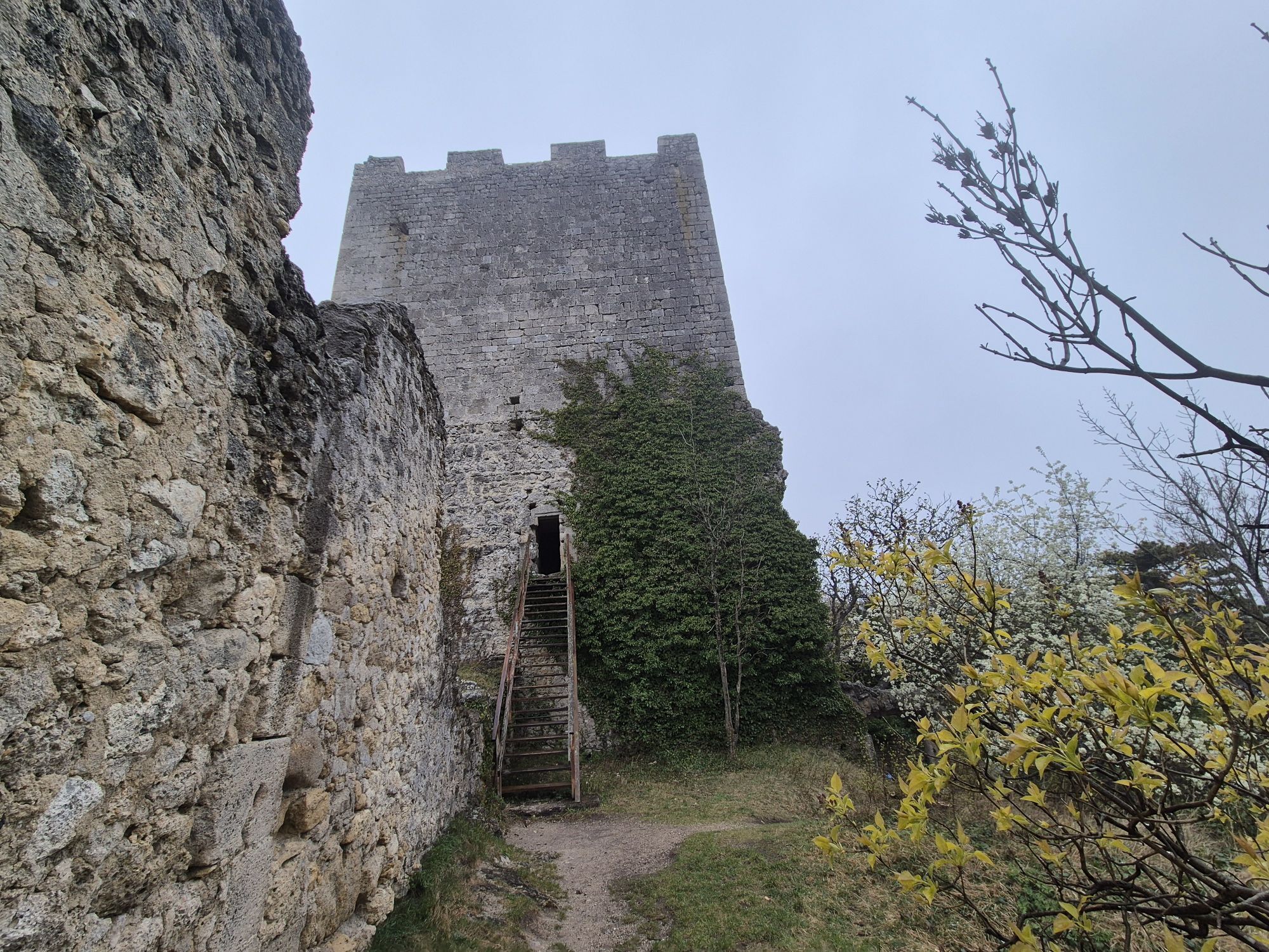
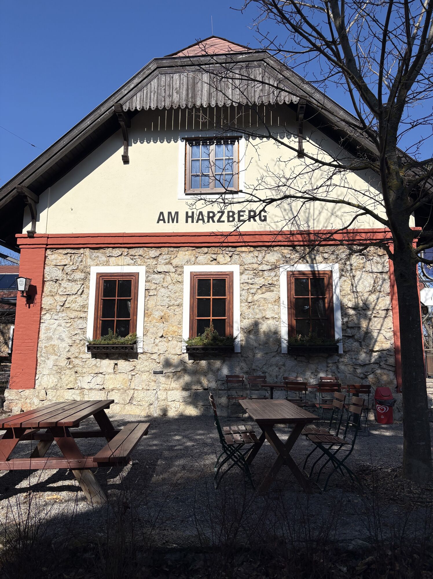
Burgruine Mödling Husarentempel Kaiser-Jubiläums-Warte am Eschenkogel Wilhelmswarte Klesheimwarte Theresienwarte Burgruine Rauheneck Kaiser-Franz-Josephs-Warte am Harzberg


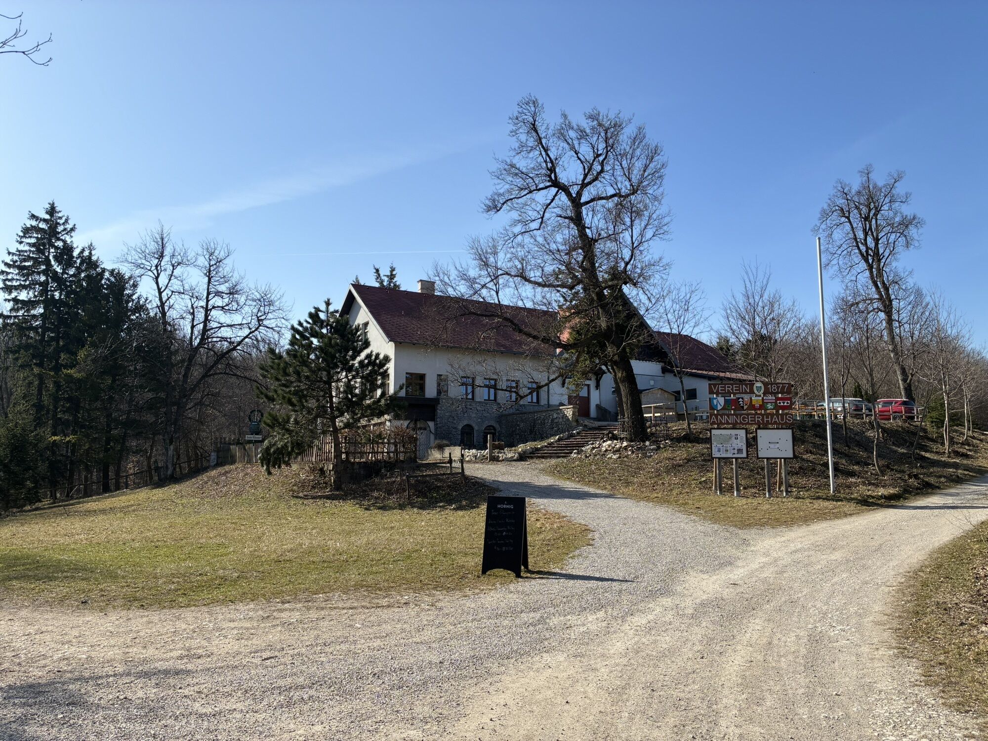
Start at the parking lot by the Meiereiwiese and enter along the Meiereiwiese - short section marked yellow – then follow the blue marking – 500 m along the Dreistundenweg - be careful not to miss the turn to Husarentempel uphill - Husarentempel - continue following the blue marking towards "kleiner Anninger" - around kleiner Anninger southwards on the Schubertweg marked yellow - then leave Kiental on the right and continue following the yellow marking along the Eschenbrunnengraben - to Anninger Schutzhaus - continue to Kaiser-Jubiläumswarte am Eschenkogel - then back to Anninger Schutzhaus, from there follow the red marking towards Pfaffstättner Kogel/Wilhelmswarte - pay attention not to miss the left turn to Wilhelmswarte - circular route to Wilhelmswarte with red marking - back to Buchenkogel - follow the main hiking trail again towards Pfaffstättnerkogel - Rudolf Proksch Hütte/Klesheimwarte - then follow the blue marking "Föhre/Einöde R3 and (40)" towards Einöde - from there continue on Einödeweg with green marking towards Baden – at Ignazweg (parking lot/Rudolfshof) towards Theresienwarte on Richtberg - Theresienwarte - then back on the path and follow the route on Marzellinenweg – continue at the fork on blue marking – then Gustav Perger Weg (yellow, green marking) – continue on (40) yellow marking on Beethovenweg to Baden – over Kaiser Franz Josef Ring – continue on 1st Vienna Water Supply Hiking Trail – to Schlossgasse – continue on Schlossgasse to Helenenstraße – into the beginning of Helenental – after Eugenbrücke over Schwechat – follow the green marking – change to blue marking – to Burgruine Rauheneck – continue on blue marking to Haasen Bankerl – then at the fork continue on red marking (40) – continue on Steinmauerweg red marking – cross Brunntalweg – still continue on Steinmauerweg (red) – past Waldandacht – WLP – then change to yellow – towards Harzbergstraße B4 (yellow marking) – Kaiser-Franz-Josef-Jubiläumswarte am Harzberg – then continue staying on B4 (yellow) over Maital to Bad Vöslau center – after the bathing area (Thermalbad Bad Vöslau) follow the 1st Vienna Water Supply Hiking Trail – which leads over Johann Bröthaler Weg directly to Bad Vöslau train station.
Access hiking trail to the themed hike "The Towers of the Vienna Woods"
*from Gumpoldskirchen: Start Josef-Schöffl-Straße via Beethovenweg - Richardhof - Kaisergerndlweg --> Eschenkogel/Anninger Schutzhaus_ stay on Beethovenweg to Husarentempel.
*from Hinterbrühl: via Kiental/Schubertweg towards Kleiner Anninger to Husarentempel - then follow the described path
Return on foot:
Complete return recommended via 1st Vienna Water Supply Hiking Trail!
Experience in circular daily stages*:
Those who want to take it easy can hike the "Towers of the Vienna Woods" in circular daily stages and vacation in the region:
Circular stage 1 - from Mödling to Gumpoldskirchen:
Train Station Mödling/P Meiereiwiese – Dreistundenweg – Husarentempel – follow "Kleiner Anninger" – Schubertweg (yellow) – Eschenbrunnengraben – Anningerhaus – Kaiser-Jubiläumswarte – Kaisergerndlweg – Richardhof – Gumpoldskirchen (Train Station)
Circular stage 2 - from Pfaffstätten (Train Station) to Gumpoldskirchen:
Train Station Pfaffstätten – Pfaffstättnerkogel/Klesheimwarte (blue) – Anninger - Wilhelmswarte – Anningerhaus – Kaiser-Jubiläumswarte am Eschenkogel – Kalenderweg (green) – Kalvarienberg – Gumpoldskirchen (Train Station/P)
Circular stage 3 - from Pfaffstätten (Train Station) to Bad Vöslau:
Train Station Pfaffstätten - Einöde – Beethovenweg (red) – Rudolfshof – Theresienwarte – Beethovenweg to Baden – Beethovenweg to Helenental – Burgruine Rauheneck – (red) Waldandacht – Harzberg (yellow) – Kaiser-Franz-Joseph-Jubiläumswarte – Bad Vöslau (Train Station)
Da
Sturdy footwear (forest paths and ascent to the observation towers), snack/refreshments and drinks recommended.
Attention in the area around Anninger, especially on paths around Husarentempel where MTB trails and routes cross.
Throughout the area, the outdoor Fair Play rules apply for general safety!
By car:
From Vienna - start P Meiereiwiese/Mödling: follow A23, S Autobahn/E59 and A21, to Hauptstraße Gießhübl and then take exit 32-Gießhübl.
From Vienna - start P Gumpoldskirchen: follow A23, S Autobahn/E59 exit 9-Wr. Neudorf - direction Gumpoldskirchen
From Wiener Neustadt - take the S Autobahn/E59 and respective exits: Bad Vöslau, Traiskirchen (for Gumpoldskirchen) or direction A21/Gießhübl.
Arrive via Südbahn/over Vienna or via Wiener Neustadt. Regular S-Bahn services and ÖBB REX trains operate. Arrival via the train stations Mödling, Gumpoldskirchen, Bad Vöslau.
From Mödling train station, continue by regional bus 264 or 265 to stop Vorderbrühl/Jägerhausgasse.
From Gumpoldskirchen, follow on foot from Gumpoldskirchen station along Wienerstraße towards the center, route via Josef Schöffelstraße.
Pedestrian access for arrival/departure via Bad Vöslau station see track/route, entry via Maital.
Parking lot Josef Schöffl Straße 9/Gumpoldskirchen: free
Park & Ride parking lots at the train stations along the south route with valid ticket
More information at www.wienerwald.info/tuerme-wienerwald.
More hiking route suggestions:
- www.wienerwald.info/wanderregion-anninger
- Map Vienna Woods Tourism " Hiking region Anninger "
Places to stop directly along the route:
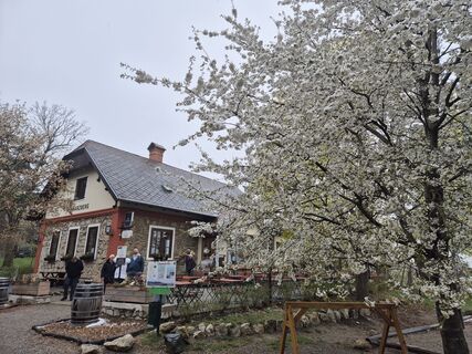
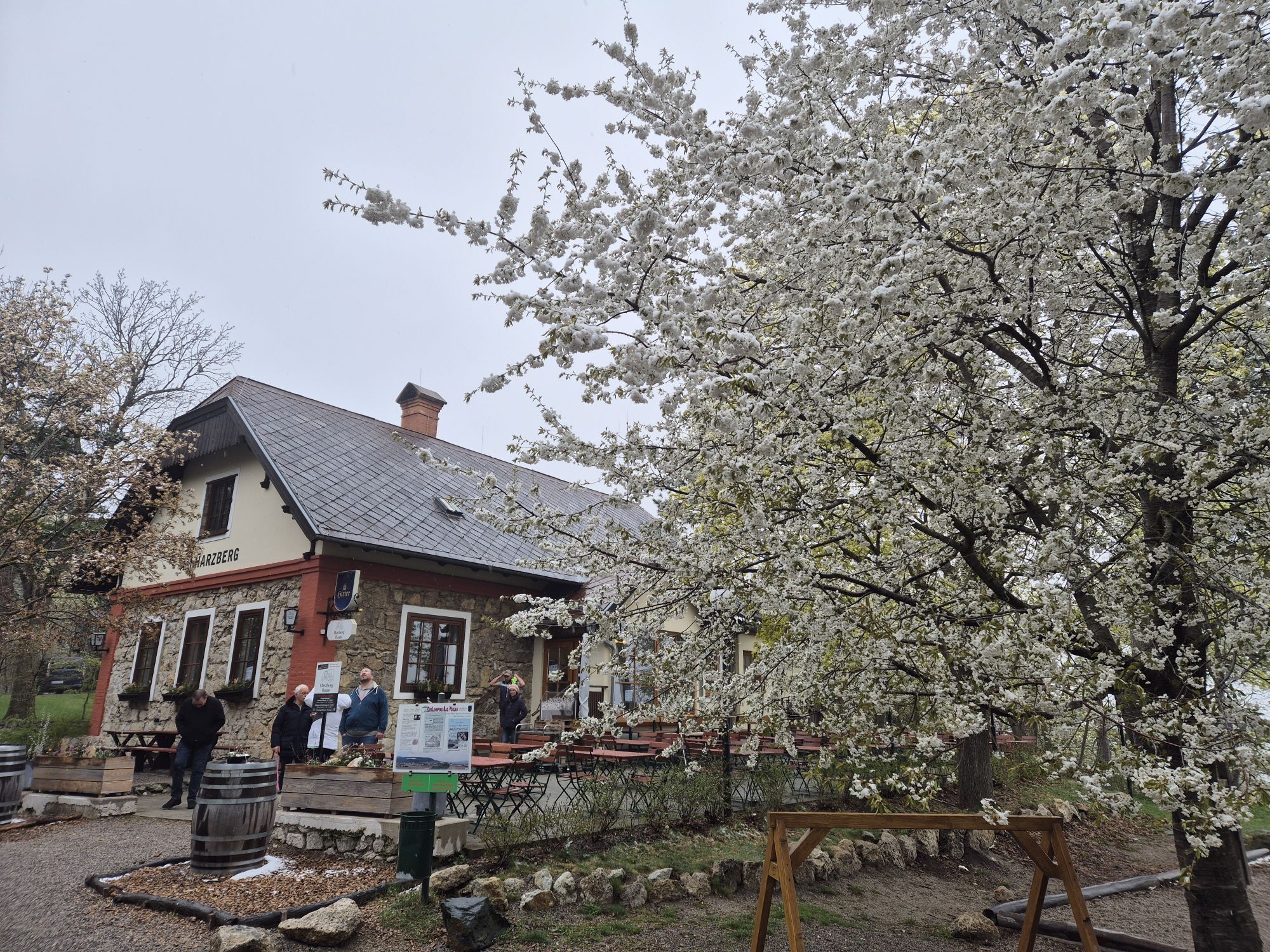
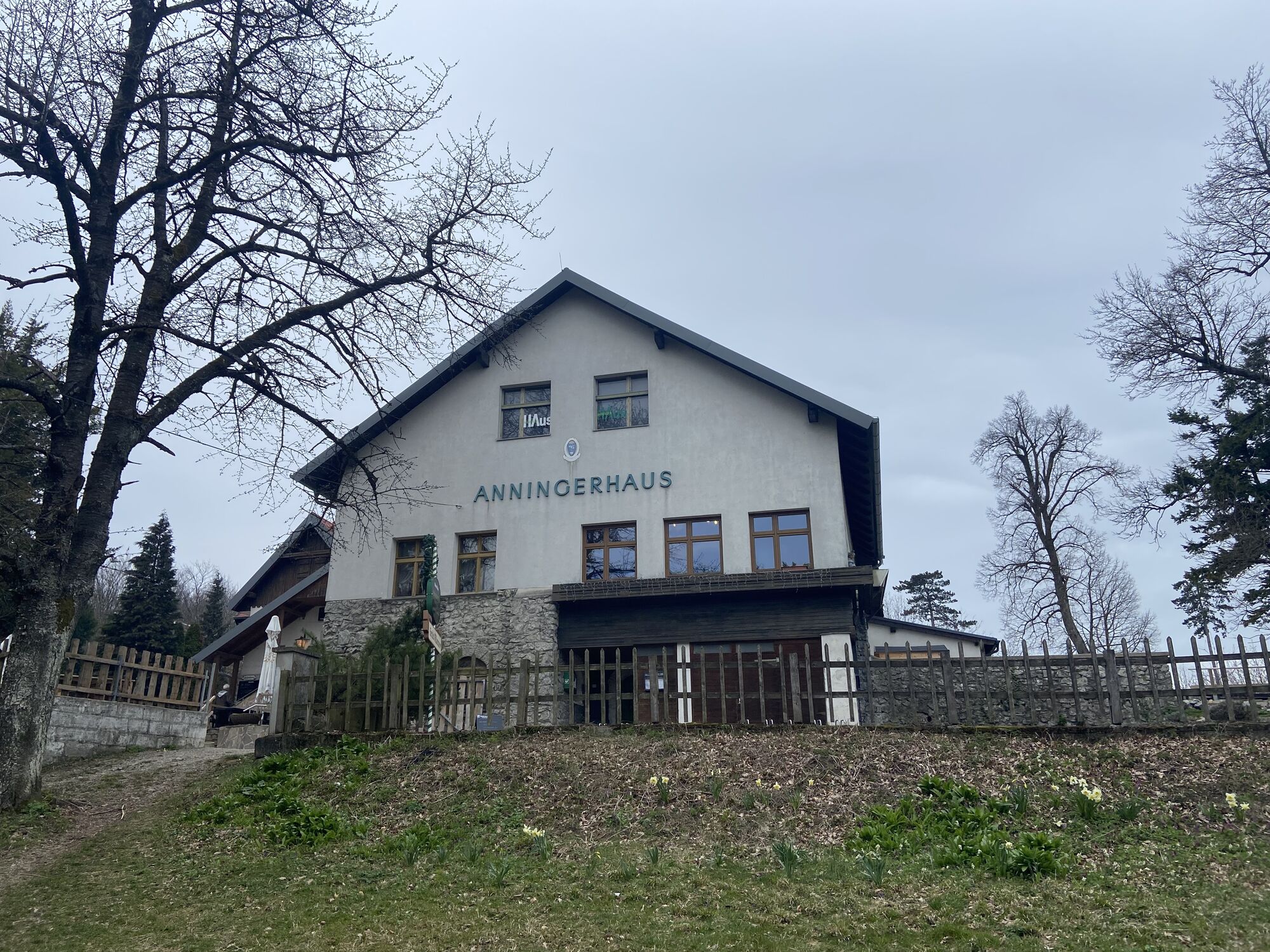
Waldrast Krauste Linde Anningerhaus 2.0. Rudolf-Proksch-Hütte Restaurant Rudolfshof Harzberg BuamMore dining options under ...
*Please note current opening hours and days off!
Overnight stays directly on the feeder trails to the hike:
Priljubljeni izleti v okolici
-
4.3
Erlebnisweg Peilstein...auf den Spuren der Kletterer
srednjaTematska pot 6 km -
4.8
Kalenderberg und Burg Liechtenstein
svetlobaPohodništvo 8.48 km -
4.6
Stadtwanderweg 6 / Zugberg - Maurer Wald (lt. Beschilderung)
svetlobaPohodništvo 13.3 km -
4.6
Angelos Touren: vom Helenental auf den Hohen Lindkogel
srednjaPohodništvo 11.4 km -
4.6
Naturpark Sparbach
svetlobaPohodništvo 7.08 km -
4.5
Abend/Nachtwanderung Teufelstein
svetlobaPohodništvo 7.15 km -
4.5
Wienerwald: Maria Raisenmarkt - Peilstein
svetlobaZimsko pohodništvo 6.82 km -
4.8
Landschaftspark Liechtenstein - Angelos Touren
svetlobaPohodništvo 6.70 km -
4.5
AUGUSTINERHÜTTE Parkplatz bei B210 Hoher Lindkogel, Langes Tal 20221030
srednjaPohodništvo 8.02 km -
4.4
Anninger über Husarentempel auf die Wilhelmswarte
srednjaPohodništvo 16.2 km

Pohodništvo in sledenje


Ne zamudite ponudb in navdiha za naslednje počitnice
Vaš e-poštni naslov je bil dodan na poštni seznam.