


Panoramic road bike route through the Bucklige Welt
Stopnja težavnosti: 2
Fotografije naših uporabnikov
 © Christian GrafUstvarjeno na 19.04.2026
 © Christian GrafUstvarjeno na 19.04.2026
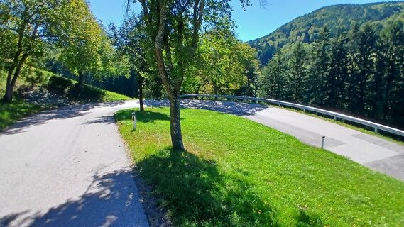
 © RudolfUstvarjeno na 01.09.2025
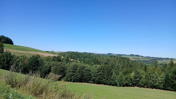 © RudolfUstvarjeno na 01.09.2025
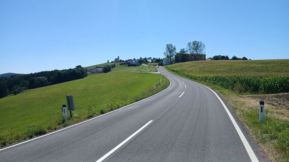 © RudolfUstvarjeno na 01.09.2025
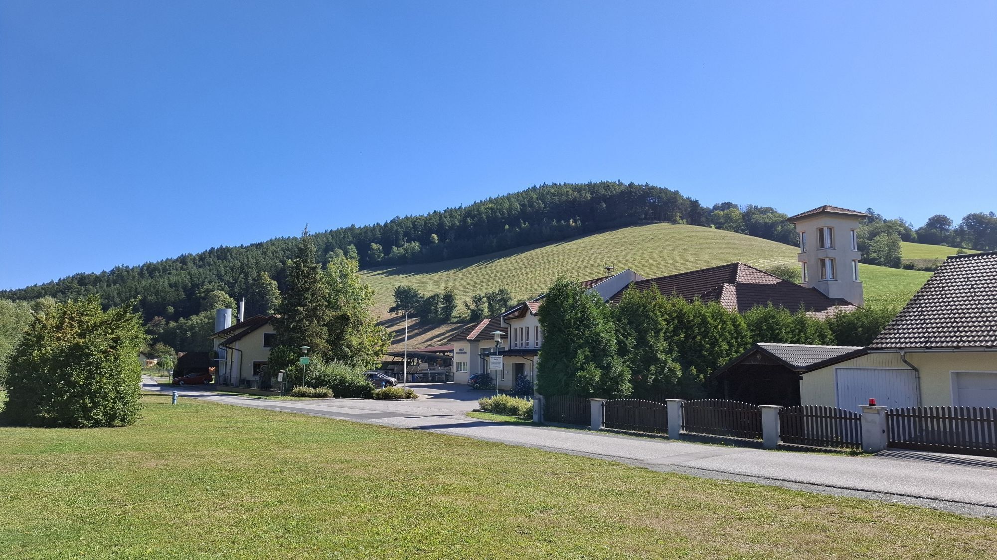
 © Hubert SellnarUstvarjeno na 01.09.2025
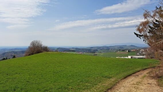
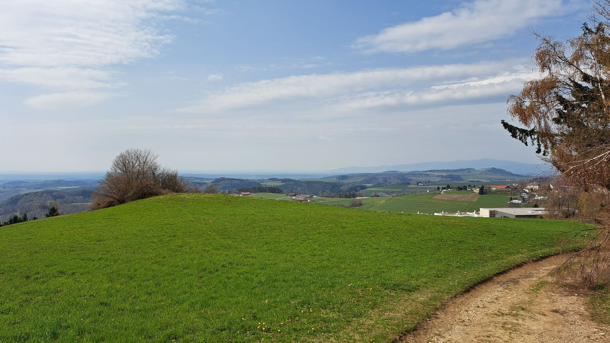
 © Roland MeitzUstvarjeno na 12.04.2026
 © PoschacherUstvarjeno na 07.02.2026
 © PoschacherUstvarjeno na 07.02.2026
 © PoschacherUstvarjeno na 07.02.2026
 © PoschacherUstvarjeno na 07.02.2026
 © PoschacherUstvarjeno na 07.02.2026
 © EderoUstvarjeno na 14.12.2025
 © Fischermichaela03Ustvarjeno na 26.10.2025
 © Fischermichaela03Ustvarjeno na 26.10.2025
 © Fischermichaela03Ustvarjeno na 26.10.2025
 © Fischermichaela03Ustvarjeno na 26.10.2025
 © Fischermichaela03Ustvarjeno na 26.10.2025
 © Fischermichaela03Ustvarjeno na 26.10.2025
 © Szakos1985Ustvarjeno na 25.10.2025
 © WanderschuhUstvarjeno na 05.07.2025
 © WanderschuhUstvarjeno na 05.07.2025
 © RudolfUstvarjeno na 20.04.2025
 © Michael GebhardtUstvarjeno na 20.04.2025
 © RfelbingUstvarjeno na 30.03.2025
 © RfelbingUstvarjeno na 27.03.2025
 © Stefan KohoutUstvarjeno na 23.03.2025
 © Stefan KohoutUstvarjeno na 23.03.2025
 © Stefan KohoutUstvarjeno na 23.03.2025
 © Gabi H. 1Ustvarjeno na 09.02.2025
 © stuebiUstvarjeno na 05.02.2025
 © stuebiUstvarjeno na 05.02.2025
 © stuebiUstvarjeno na 05.02.2025
 © Gabi H. 1Ustvarjeno na 19.01.2025
 © Gabi H. 1Ustvarjeno na 19.01.2025
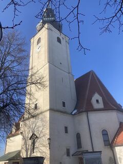
 © CTUstvarjeno na 19.01.2025
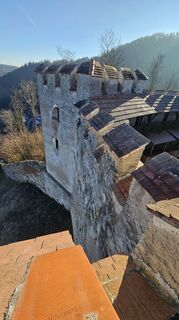
 © Soma GyimesiUstvarjeno na 18.01.2025
 © EderoUstvarjeno na 01.12.2024


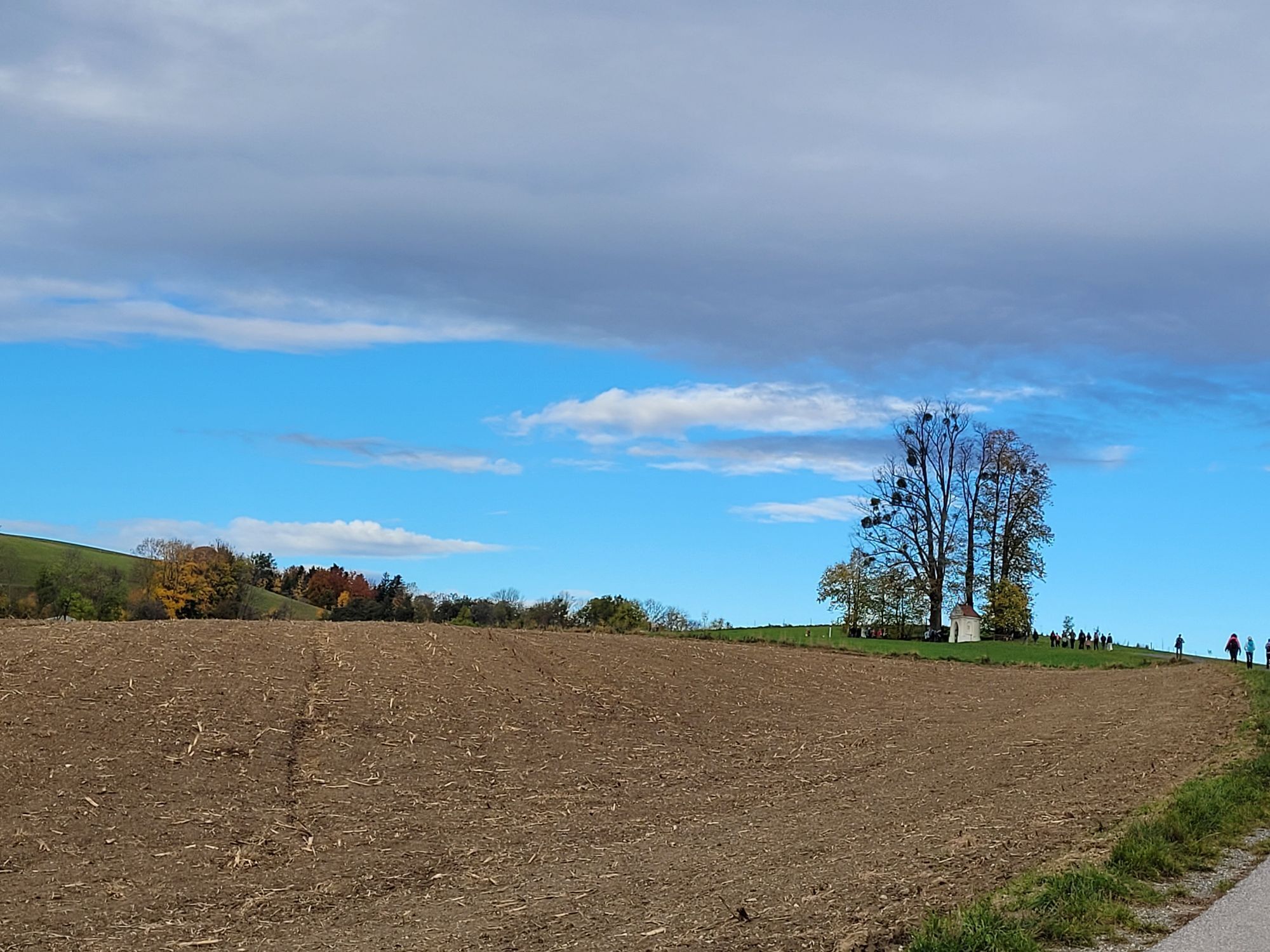
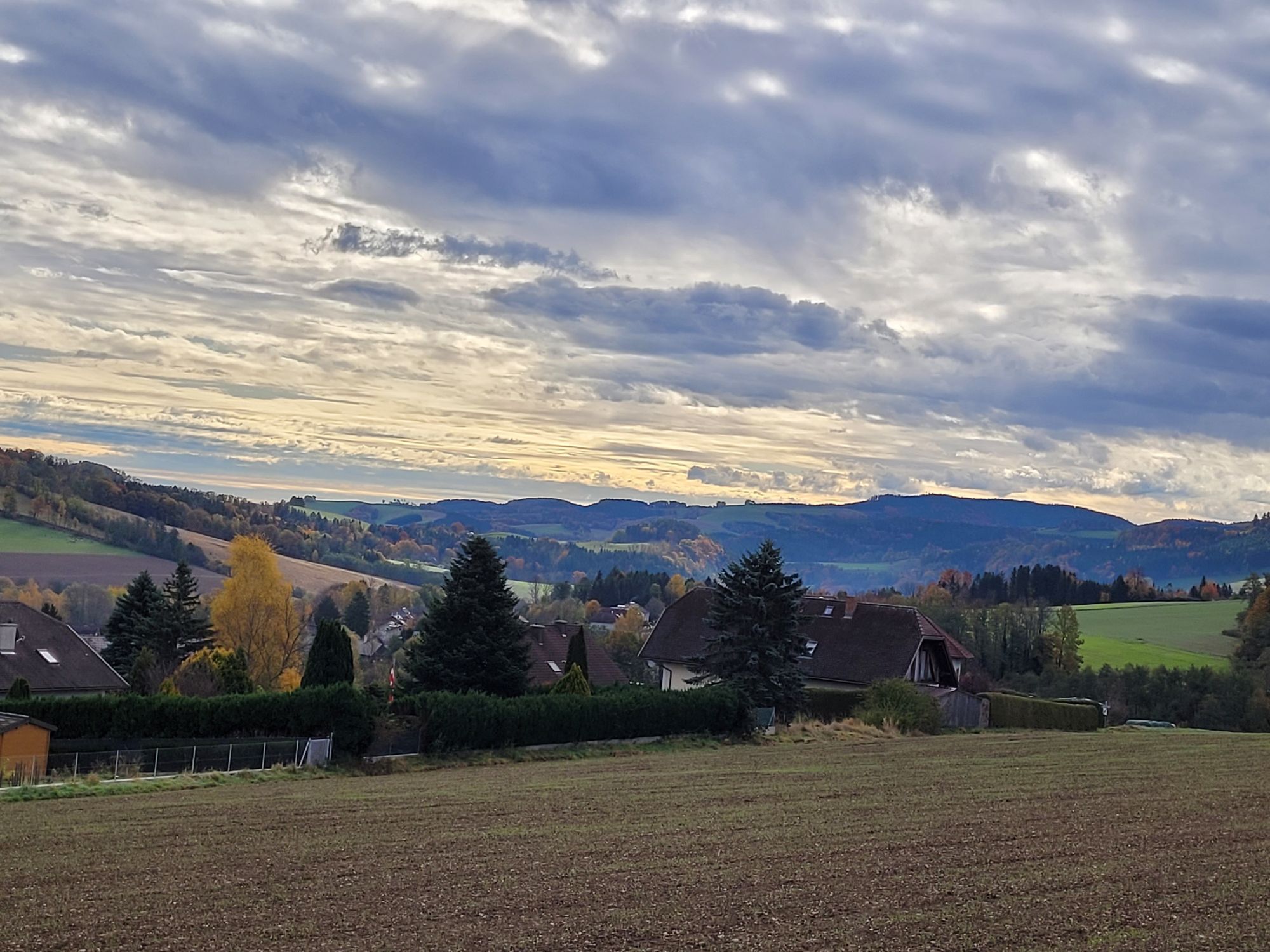
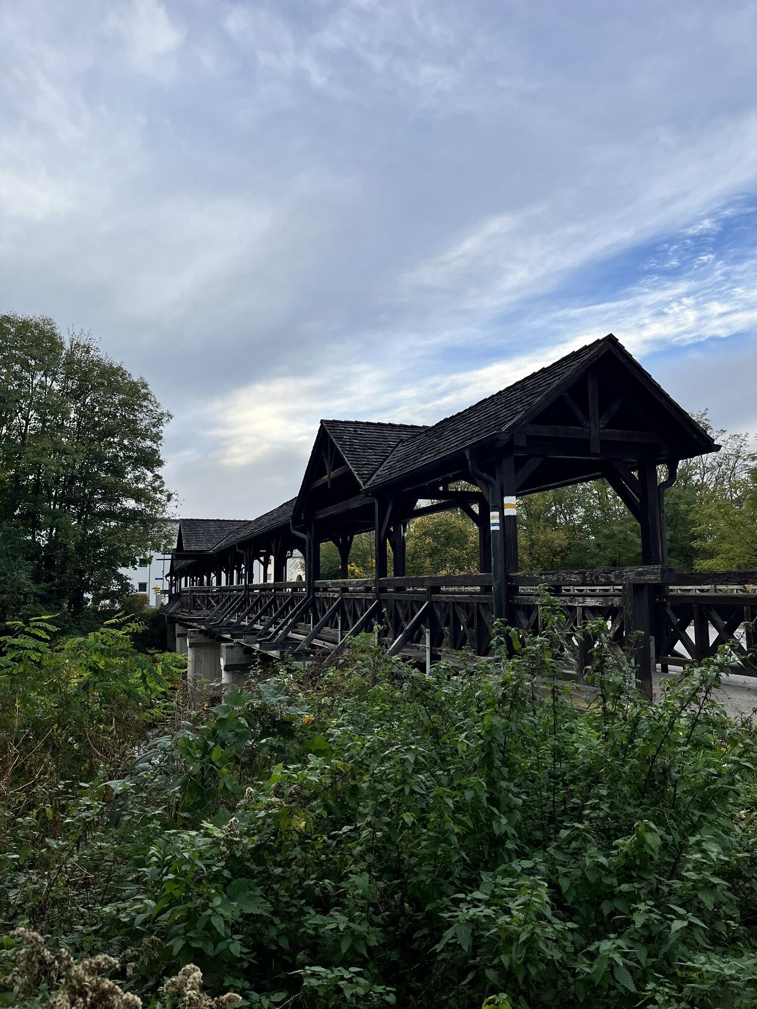
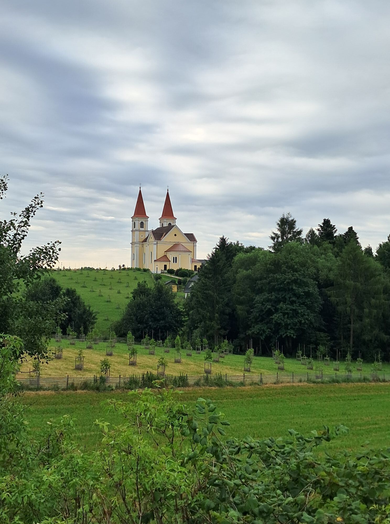
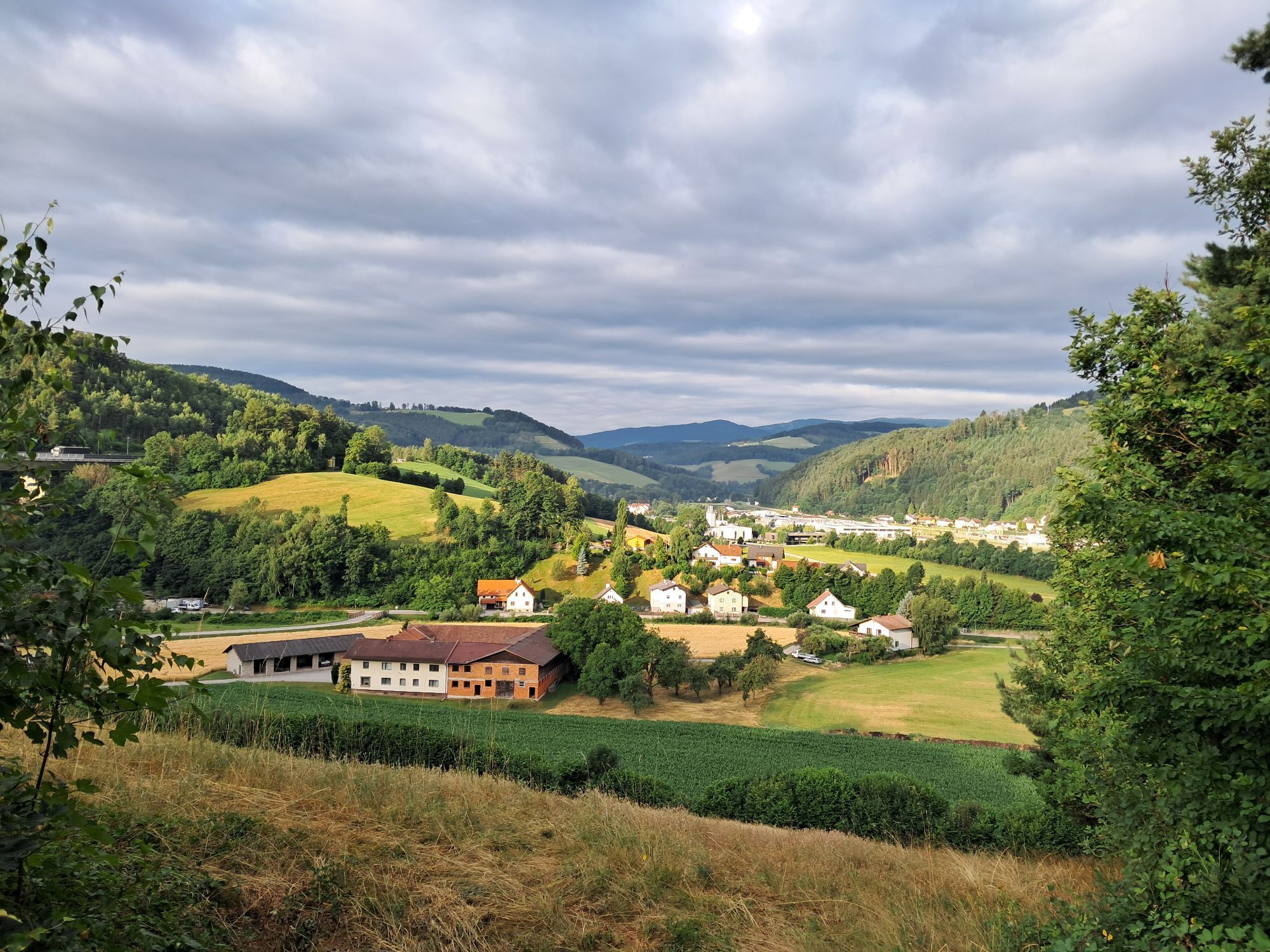
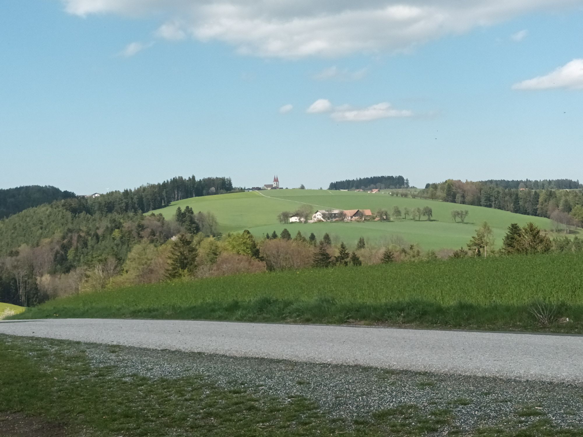


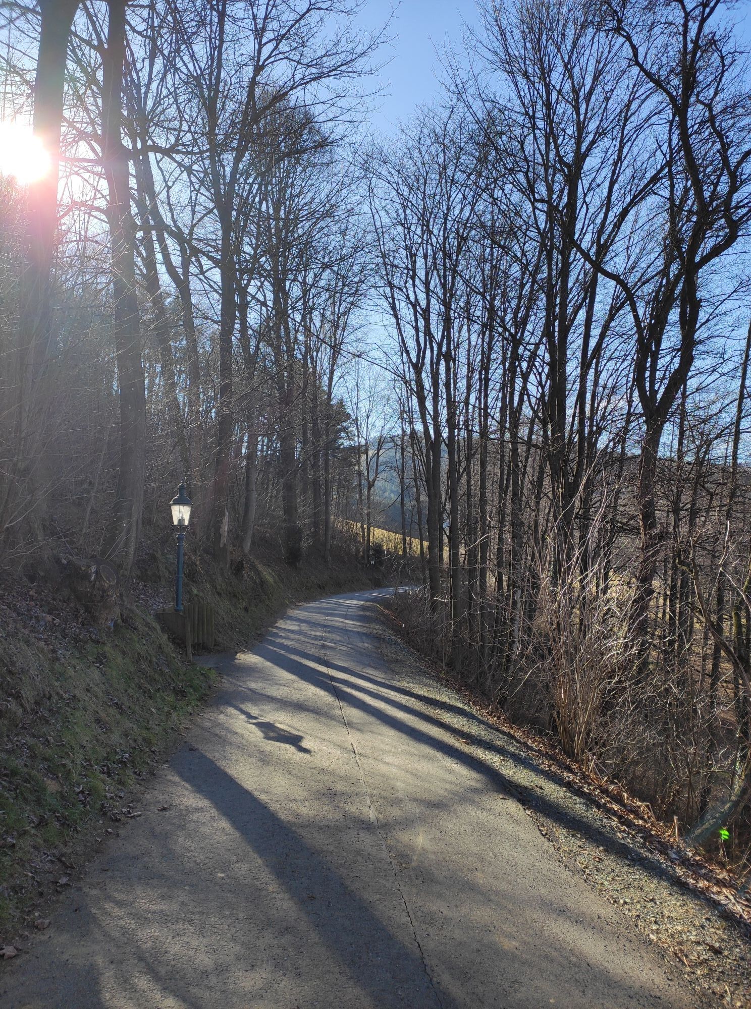
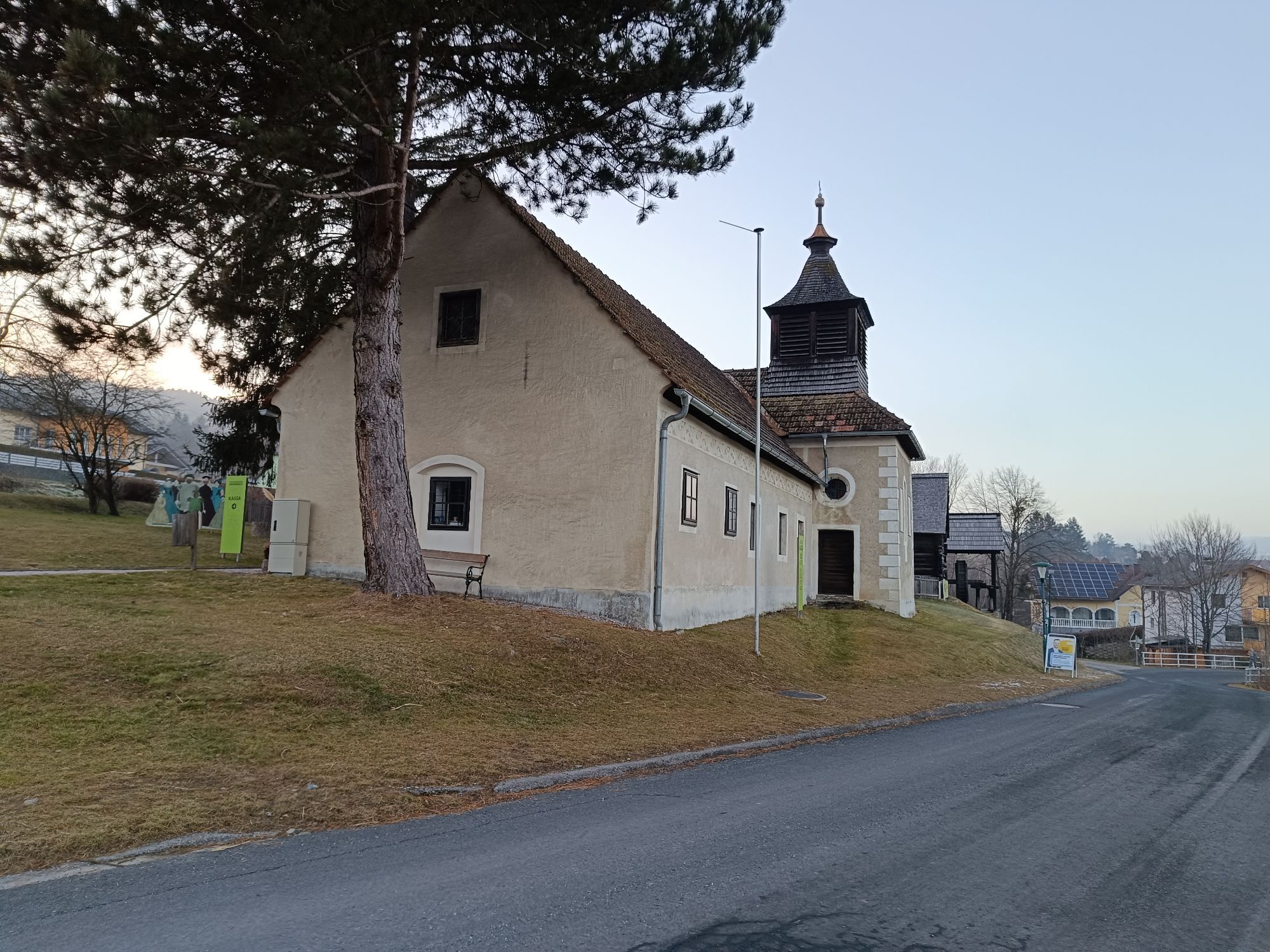
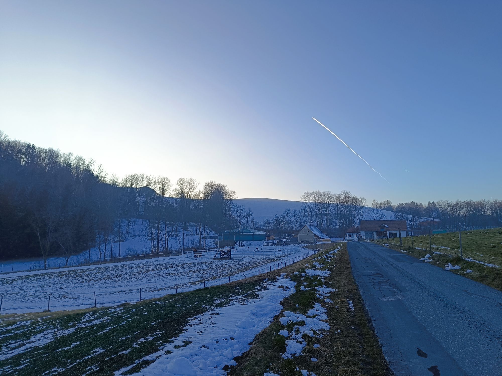


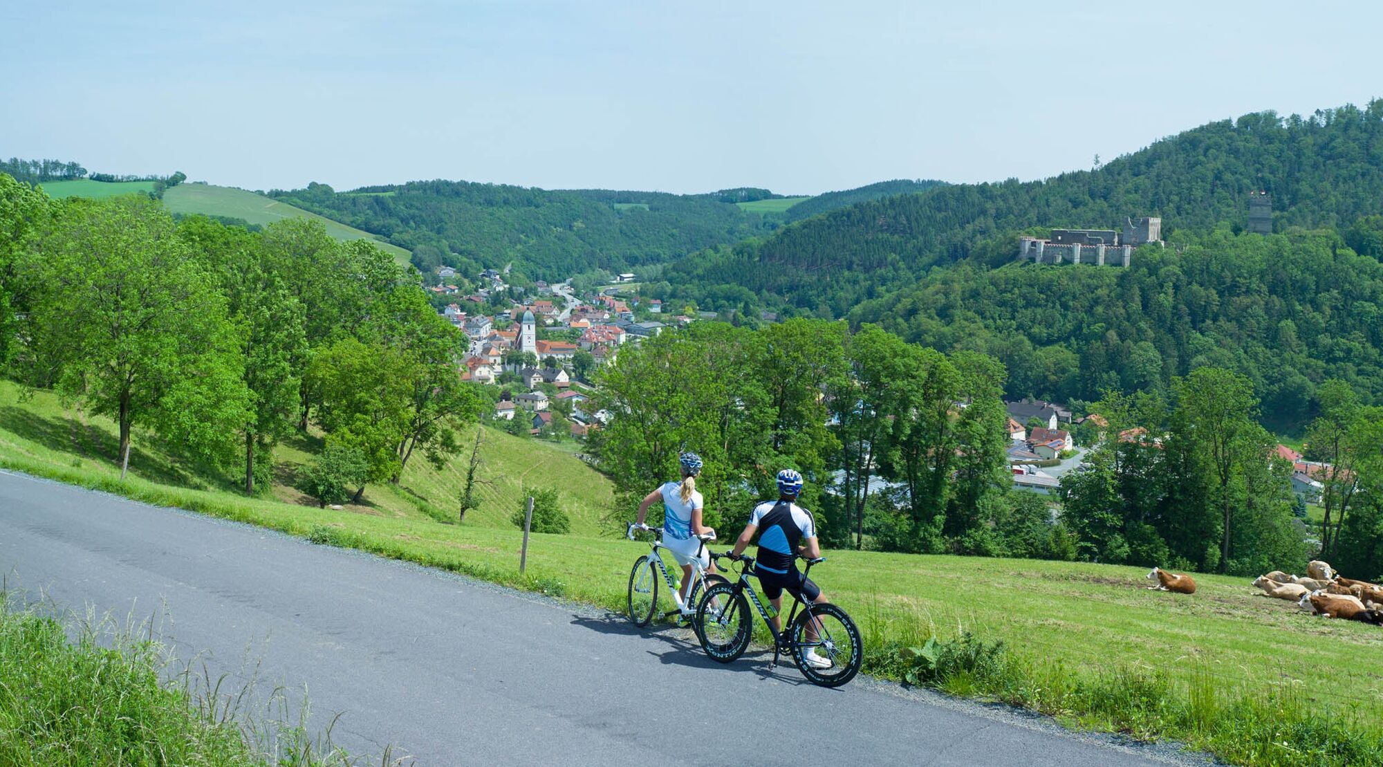
Endurance road cyclists will fully enjoy the panoramic route. Those who want to take a day to discover the Bucklige Welt from Wiener Neustadt to Grimmenstein are in the right place here. The route starts...
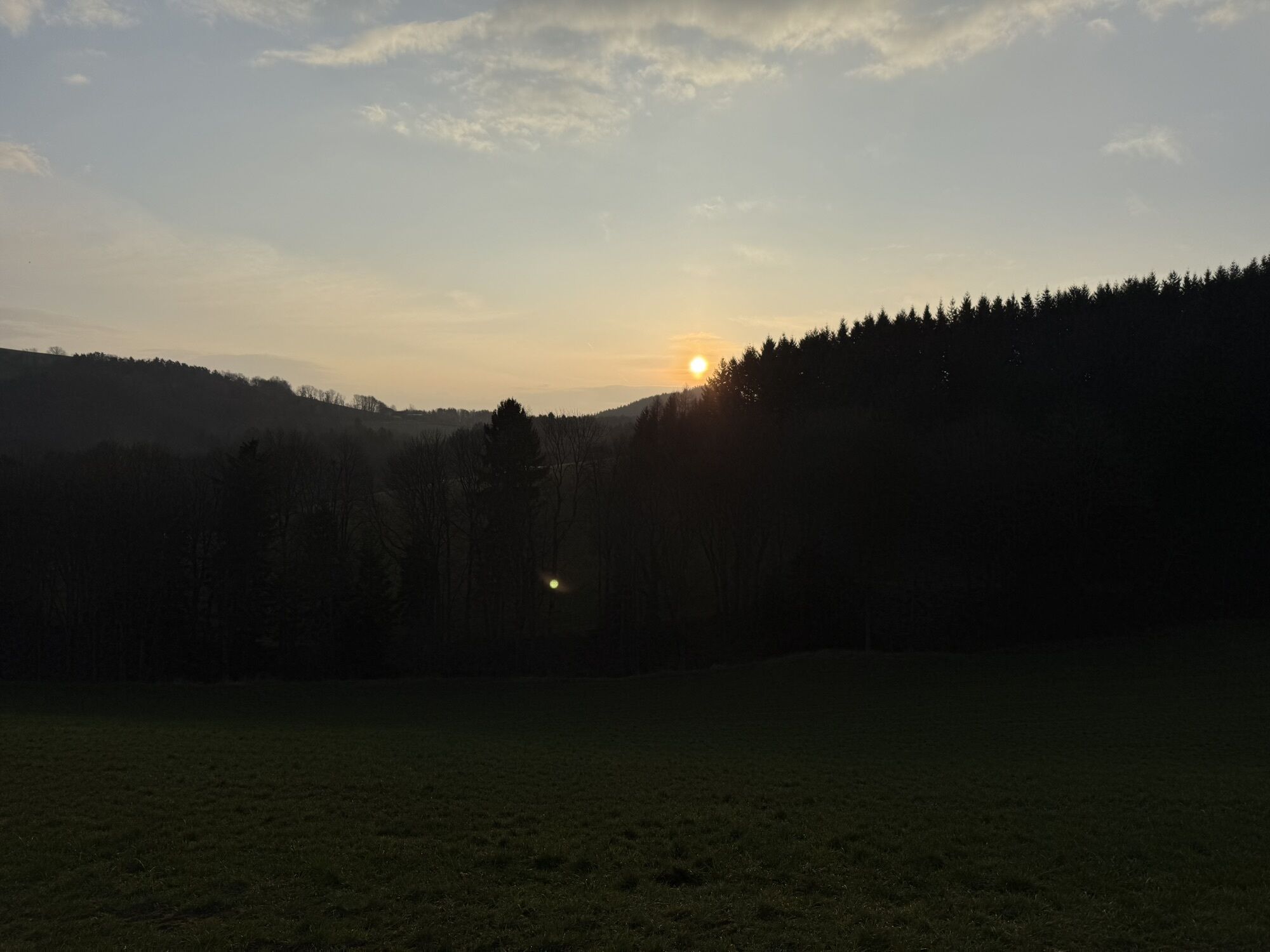
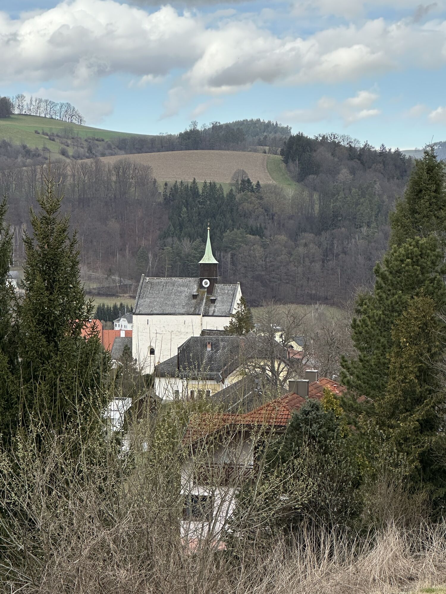
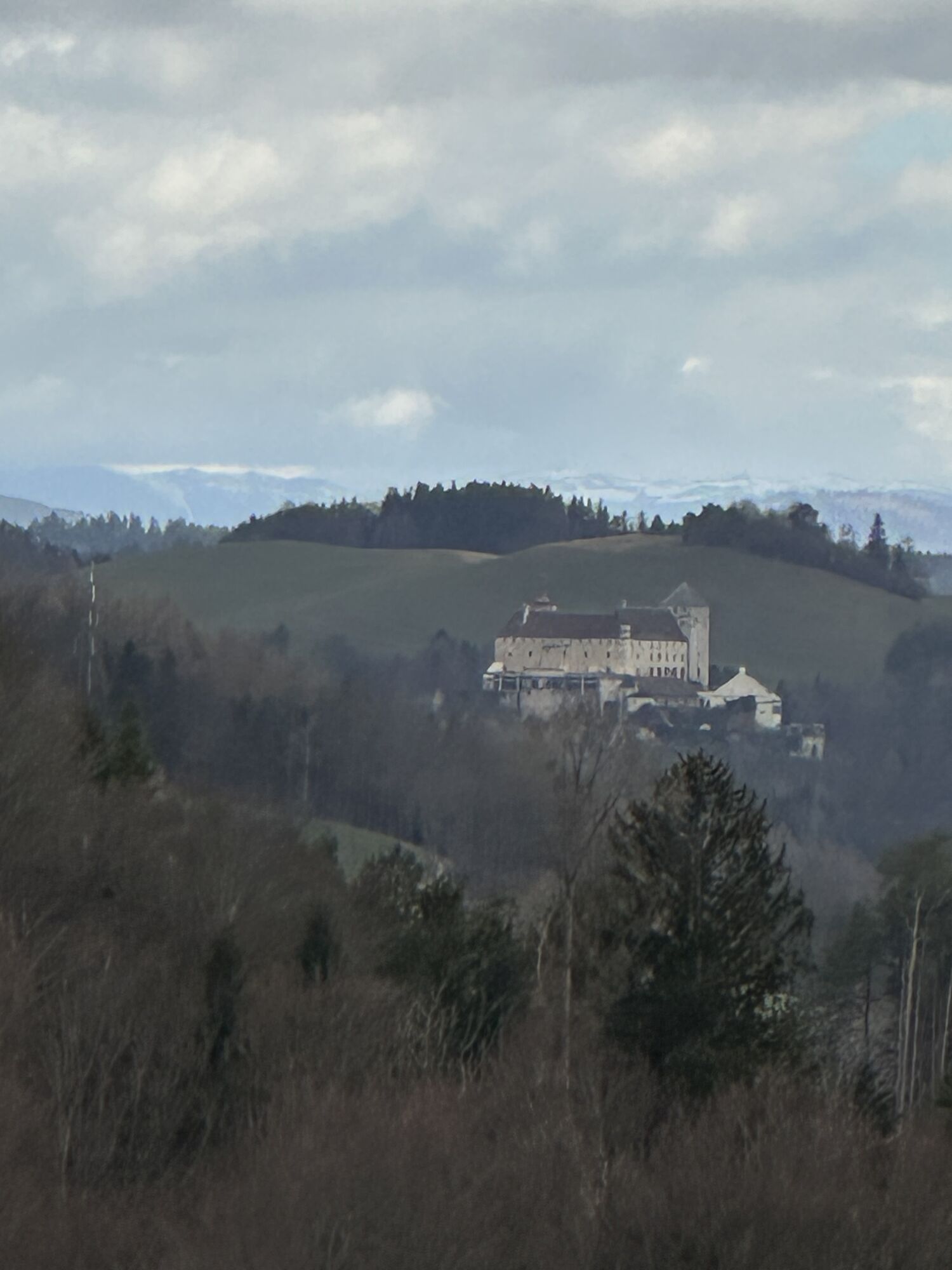
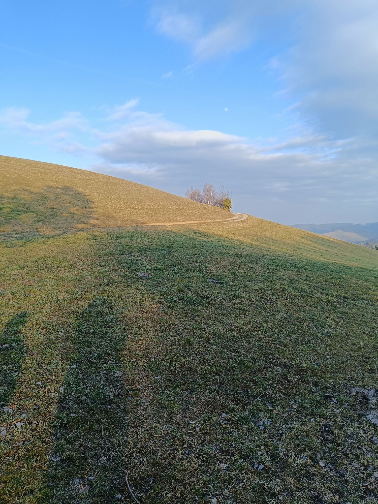
Endurance road cyclists will fully enjoy the panoramic route. Those who want to take a day to discover the Bucklige Welt from Wiener Neustadt to Grimmenstein are in the right place here. The route starts in Marktgasse at Merkur in Wiener Neustadt. You ride comfortably through many villages and many possible stops via Katzelsdorf and Lanzenkirchen. Nearly every town on the route offers places to stop and small highlights to visit for a refreshing change. The panoramic view, which you can enjoy at many points along the route, is particularly beautiful. After almost six hours of riding - depending on breaks and stops in the towns - you will have collected many wonderful impressions of the region and certainly passed some spots on the route that you will fondly remember.
The route starts in Wiener Neustadt, Marktgasse. We ride along Günser Straße to the railway crossing, where we turn left towards Katzelsdorf. We follow the Leitha via Eichbüchl and Frohsdorf. Our route continuously leads south. We pass Lanzenkirchen and Ofenbach until we reach Walpersbach. There, we turn left onto the main road and continue towards Hochwolkersdorf via Klingfurth. In Hochwolkersdorf, we keep to the south from the town center. We eventually reach Wiesmath and continue further south. In Hollenthon, we turn west at the primary school. We pass Kaltenberg and ride to Grub. From there, we head east and later south again to Purgstall. Later, we pass Aigen, followed by Leben and Klausriegel. After Lembach, we reach Karler Straße before Kirchschlag in the Bucklige Welt, which we turn right onto. We continue over Günser Straße and Wiener Straße to Ödhofen, where we keep left. We reach Bad Schönau, where we head south toward Hochneukirchen and Gschaidt. Slowly, we move north again; at Kothmühle, we turn right. Over Schlag, we reach Zöbern. Continuing east at Unterhaus, we reach Kirchschlager Straße, which we follow left toward Krumbach. From there, the federal road leads us left onto Königseggstraße. We keep north until we are directed back to the federal road. We follow it left near the Weißes Kreuz inn. We pass Kirchschlagl and continue on Kirchschlagerstraße until we reach Thomasberg. Via Edlitz, we finally arrive in Grimmenstein.
Always take suitable maps with you. Wear sturdy shoes suited to the route, bring sun and rain protection as well as water and a snack. Take your mobile phone with you and save the important numbers.
Your hikes in the Vienna Alps should be a completely enjoyable and safe experience. Please therefore consider the following:
Preparation
Make sure when choosing the route that it matches your mountain experience and your fitness. Check the weather report in advance. Weather can change surprisingly quickly in the mountains. Always start accordingly equipped (e.g., rain protection).
Check if the huts and snack stations you want to visit on the way are open. Inform someone about your chosen route and planned return before you set off.
From Vienna, you reach Wiener Neustadt via the South Motorway.
From the south, approach via the A2 and the E59.
There are numerous bus and train connections to Wiener Neustadt main station.
More information at www.oebb.at and www.vor.at
There are some parking options in the alleys around, no dedicated parking lot.
2
More info:
Vienna Alps in Lower Austria, www.wieneralpen.at, +43 / 2622 / 78960
Priljubljeni izleti v okolici
- 4,6
Bucklige Welt: Auf dem Pittentaler Klettersteig zum Türkensturz
srednjaVia ferrata 1,96 km - 4,0
"Weg der Blicke"
svetlobaPohodništvo 5,86 km - 4,3
Türkensturz Rundwanderung
srednjaPohodništvo 2,56 km - 5,0
Seebenstein - Türkensturz - Burg Seebenstein
svetlobaPohodništvo 7,50 km - 4,5
Bad Schönau - Hutwisch
svetlobaPohodništvo 9,99 km - 4,0
Bucklige Welt: Burg Grimmenstein und Kulmriegel
svetlobaPohodništvo 10,5 km - 4,2
Türkensturz große runde
srednjaPohodništvo 11,4 km - 4,8
Bakabu children's adventure trail to Hutwisch
srednjaTematska pot 5,42 km - 4,4
BAD-SCHÖNAU Hutwisch und wieder zurück 20220611
srednjaPohodništvo 10,8 km - 4,9
Türkensturz
svetlobaPohodništvo 6,31 km

Pohodništvo in sledenje


Ne zamudite ponudb in navdiha za naslednje počitnice
Vaš e-poštni naslov je bil dodan na poštni seznam.