







Nature Treasure Route
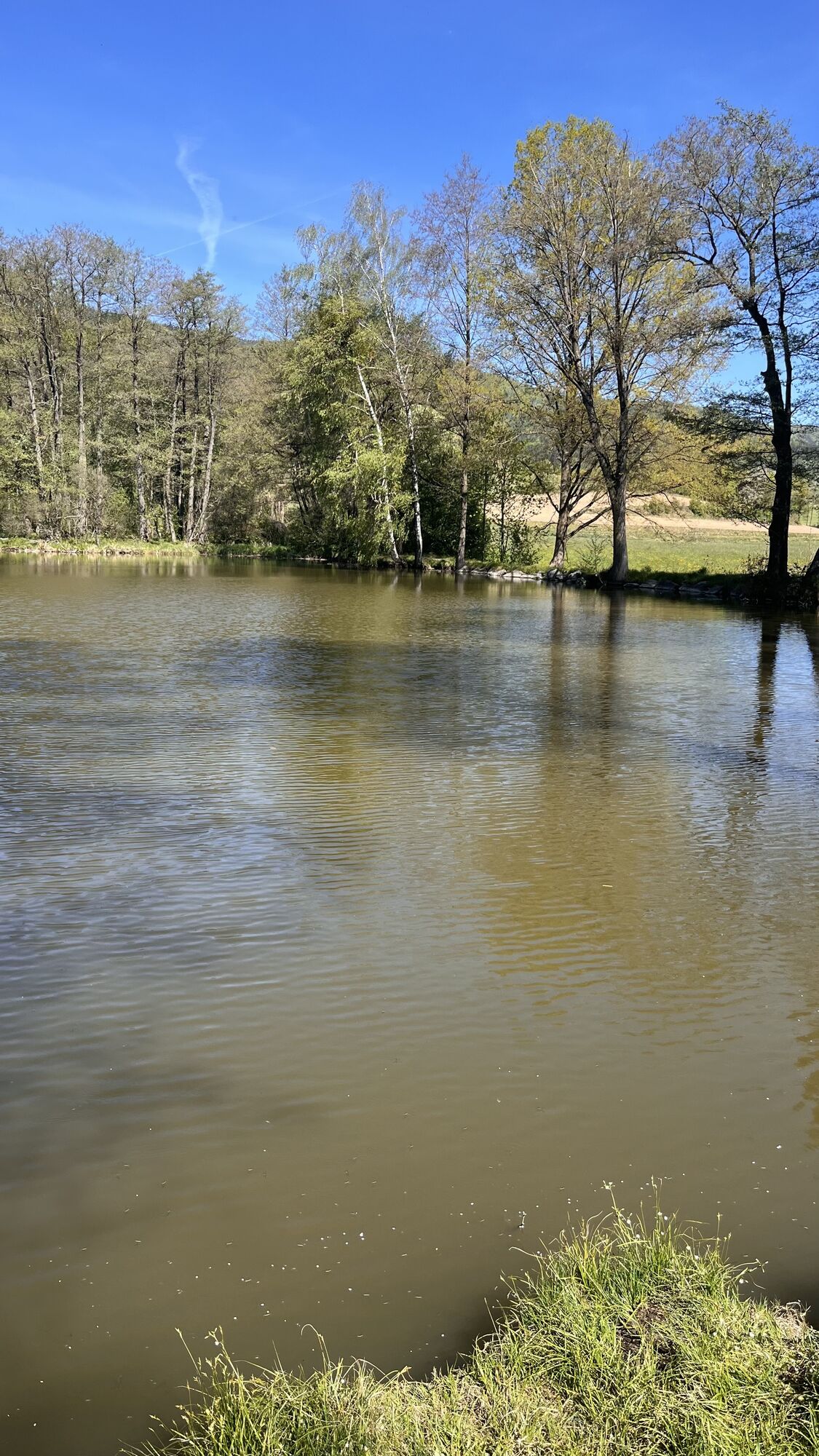
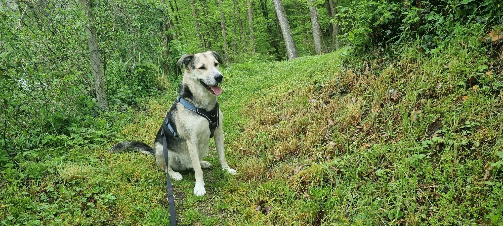
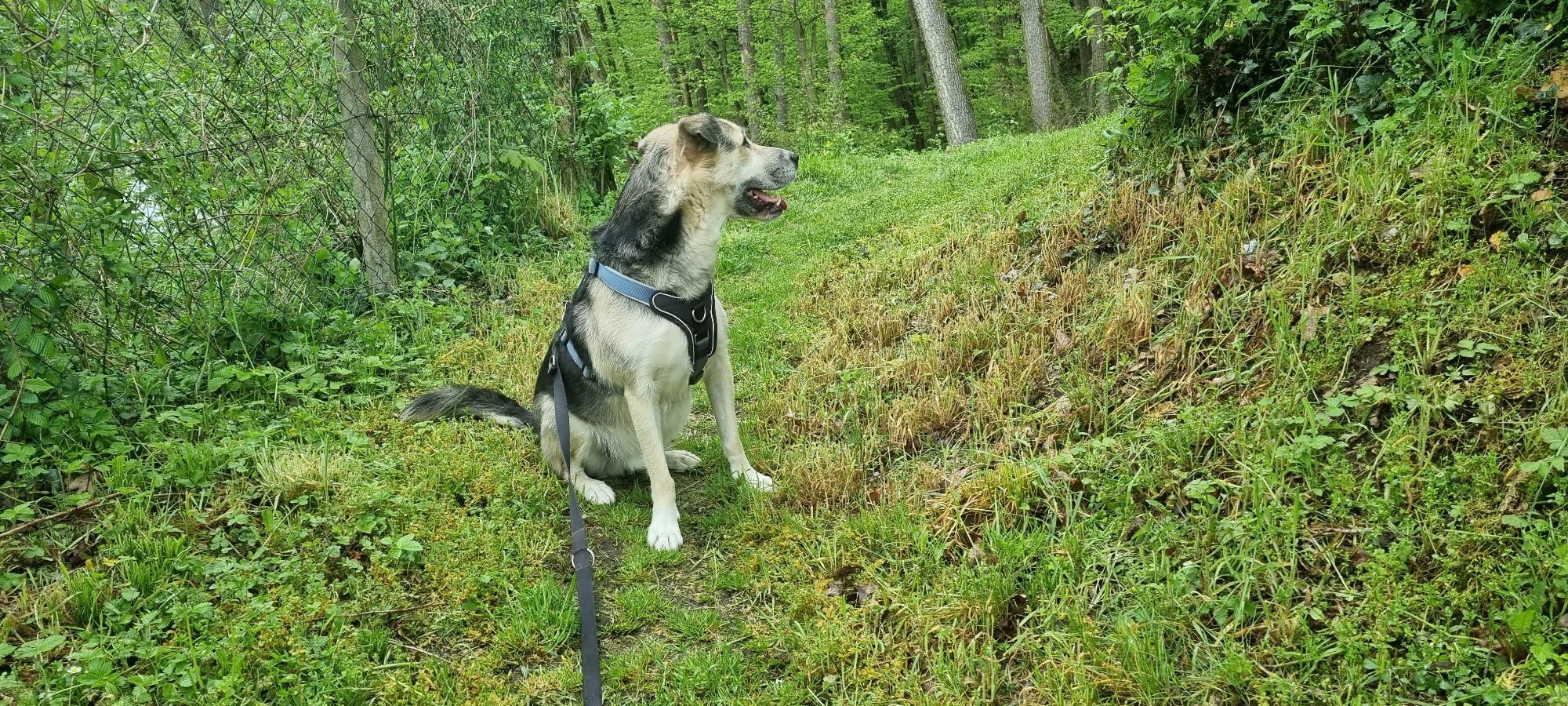
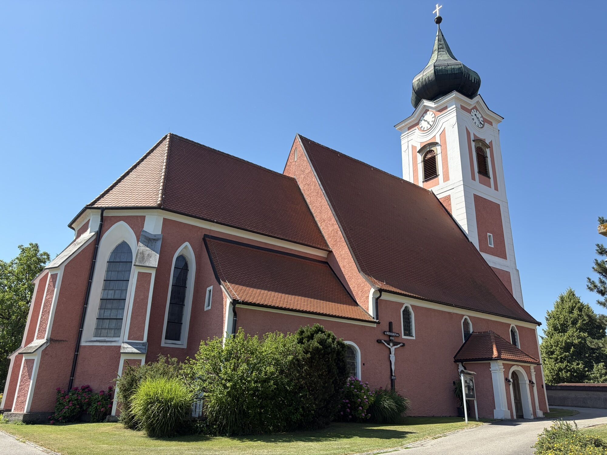
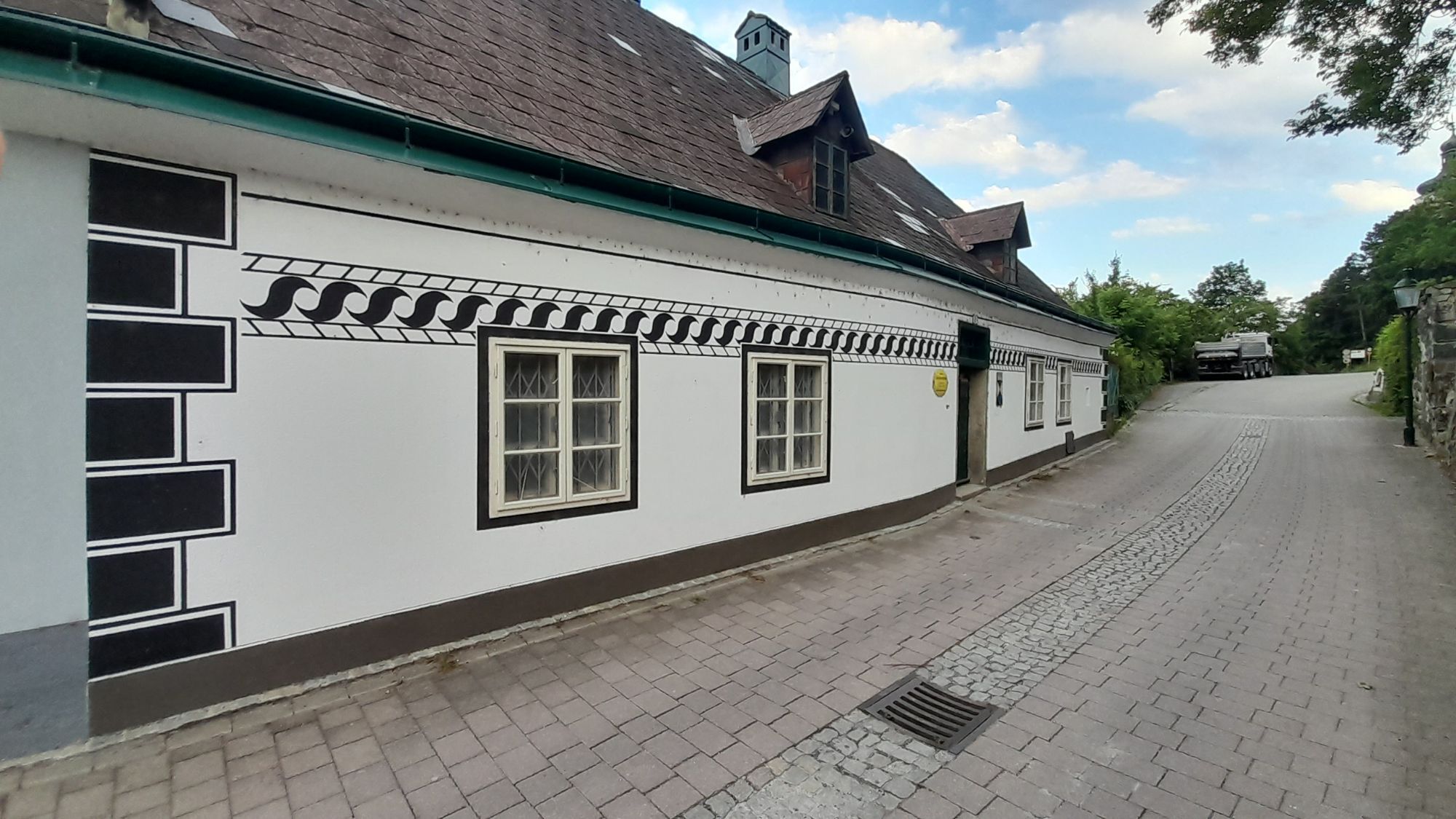
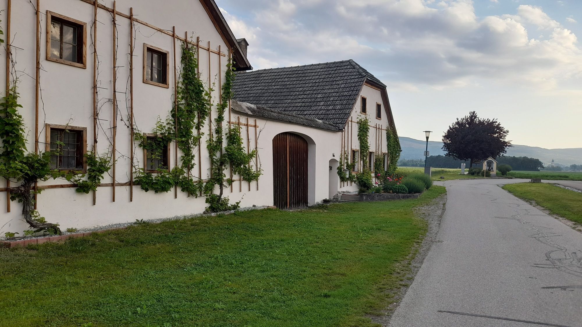
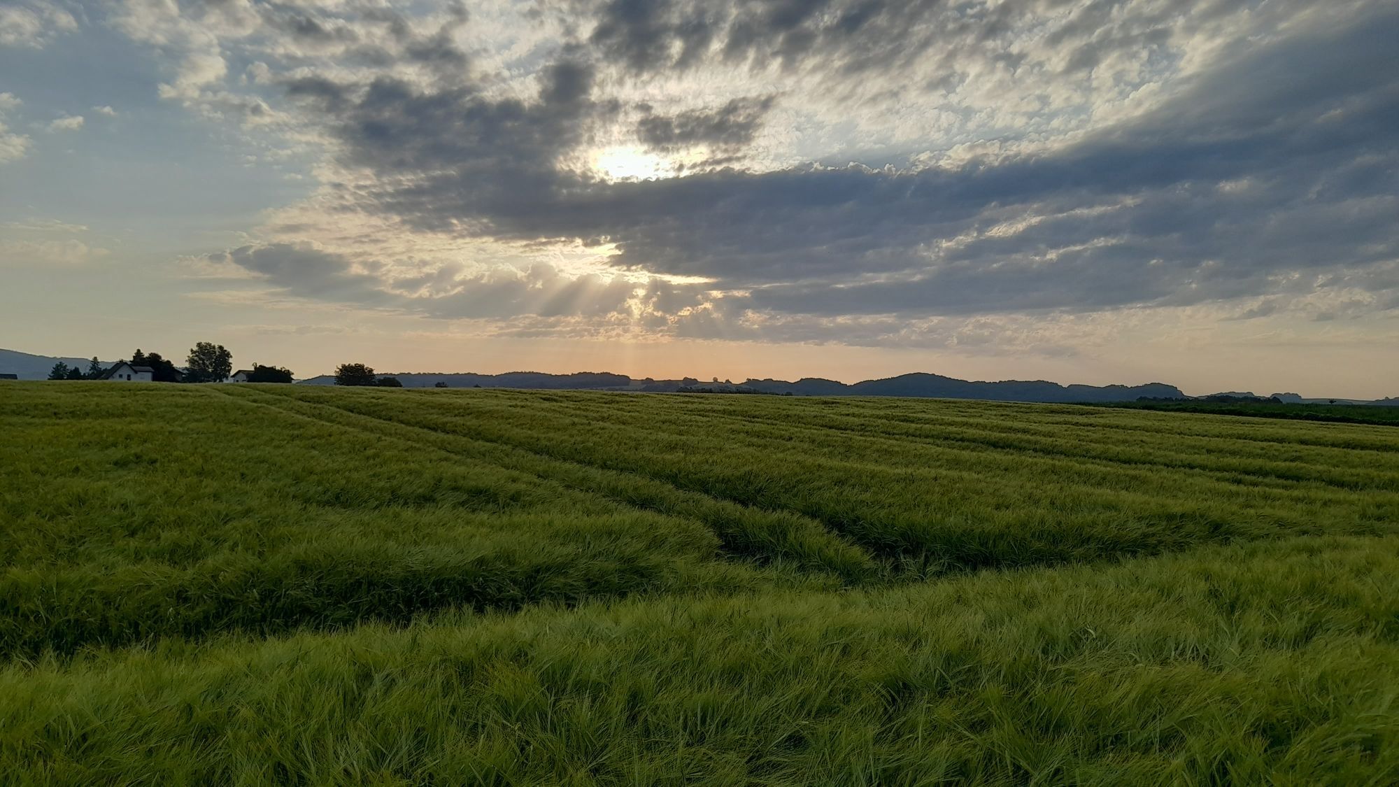
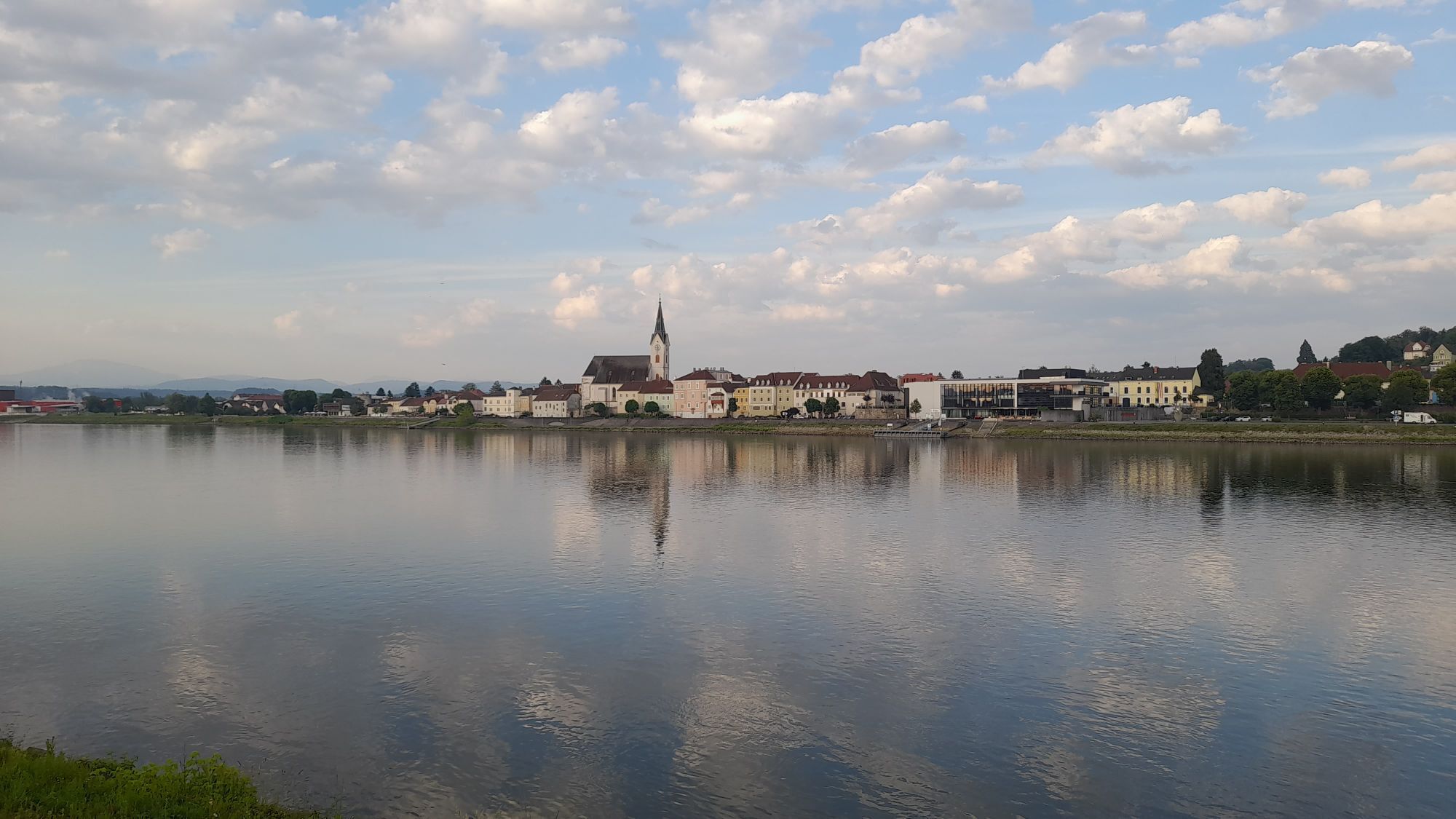
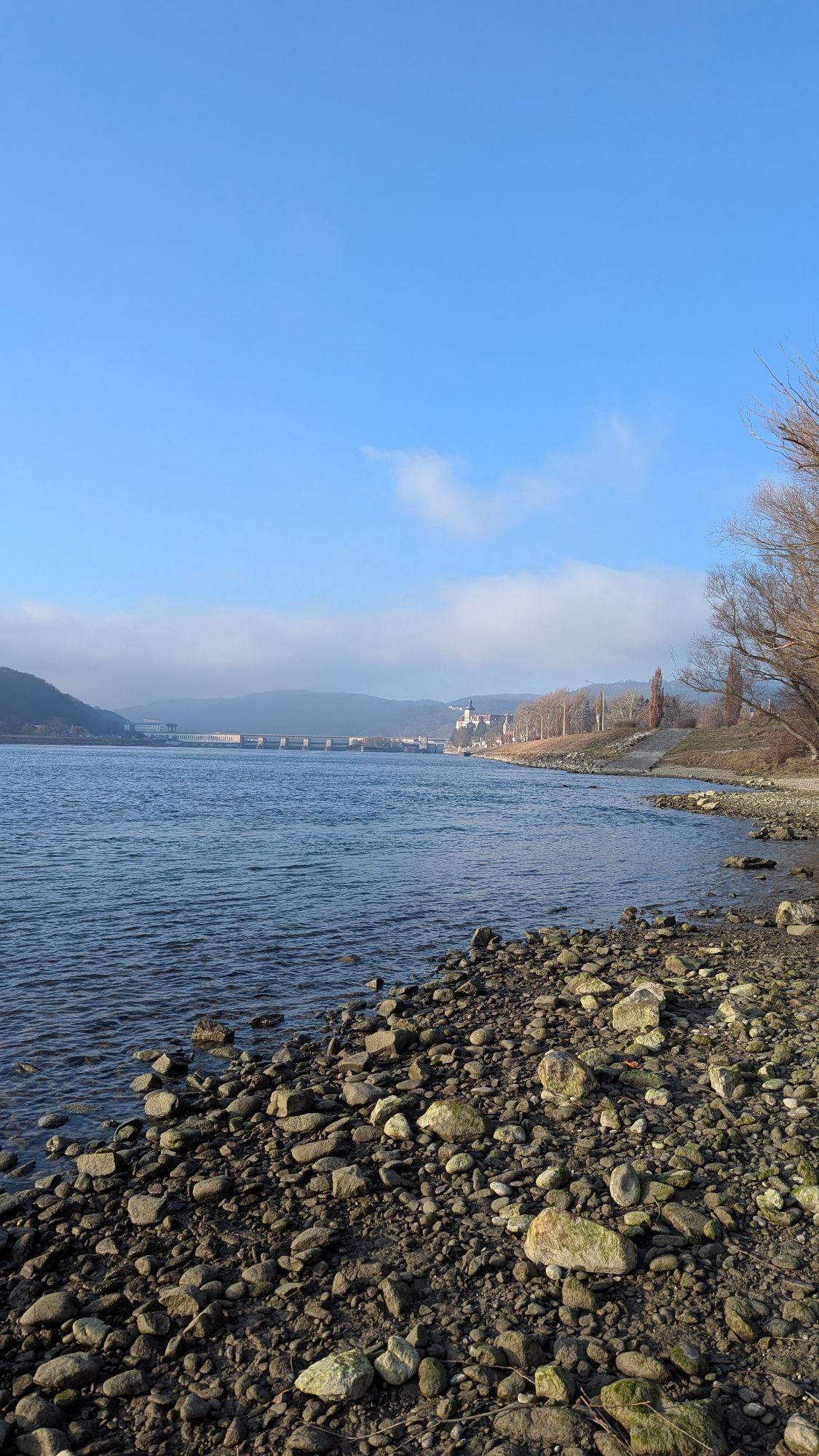
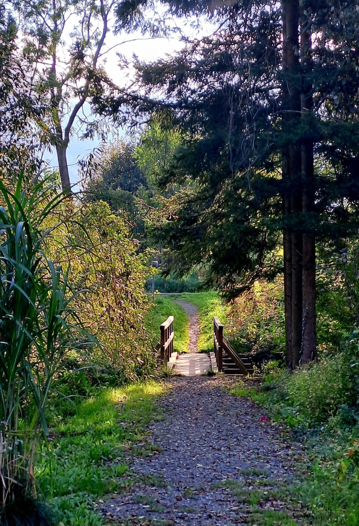
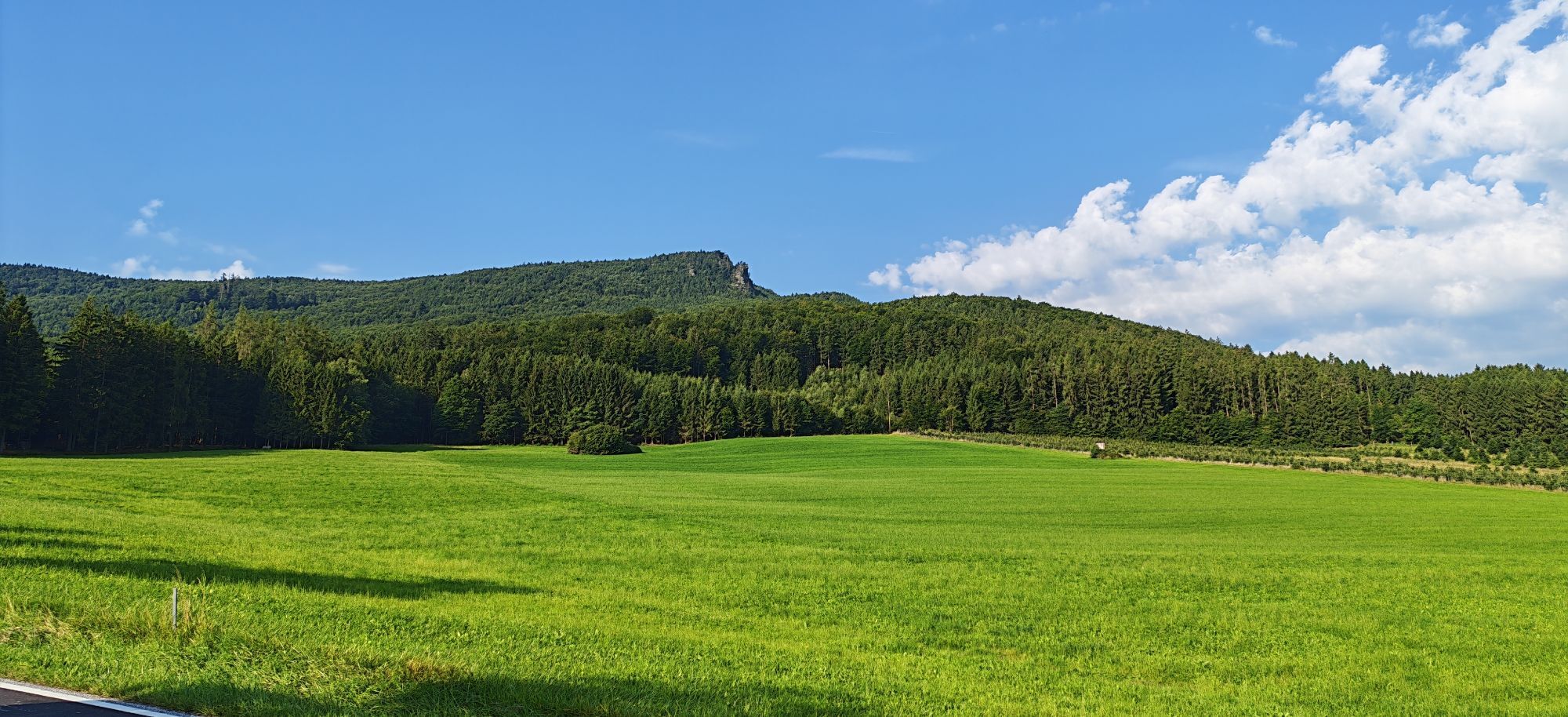
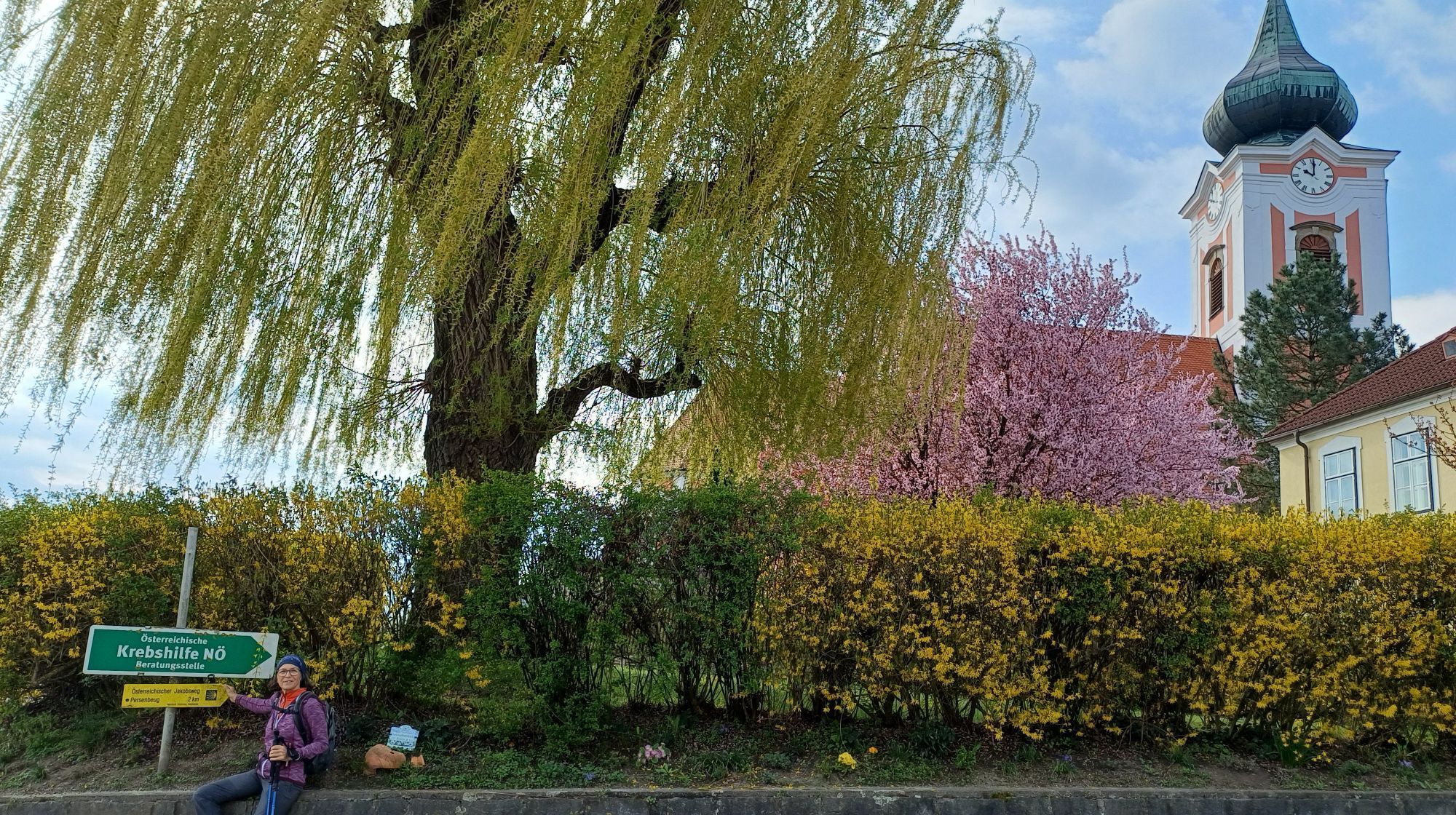
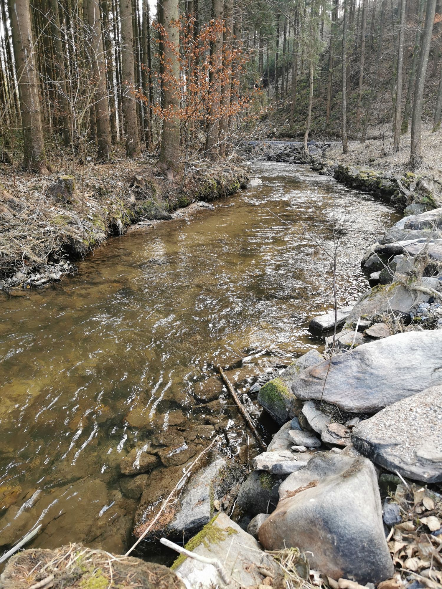
Your heart will beat faster, not only because of the breathtaking landscape, but also because of the sporting challenge on this 51 km long route with 631 meters of elevation gain.
The Nature Treasure Tour...
Your heart will beat faster, not only because of the breathtaking landscape, but also because of the sporting challenge on this 51 km long route with 631 meters of elevation gain.
The Nature Treasure Tour is particularly rewarding for those who like to push themselves, but also for those who prefer to travel by e-bike. This is because the beauty of nature can be enjoyed to the full at both high and low heart rates. The feeling of freedom on two wheels through picturesque valleys and green forests is unparalleled.
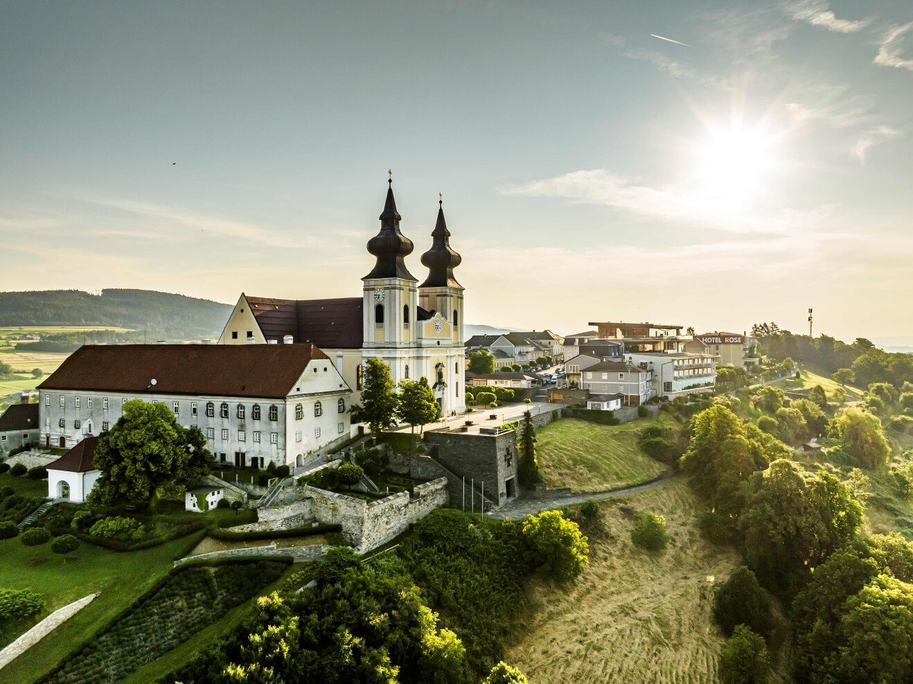
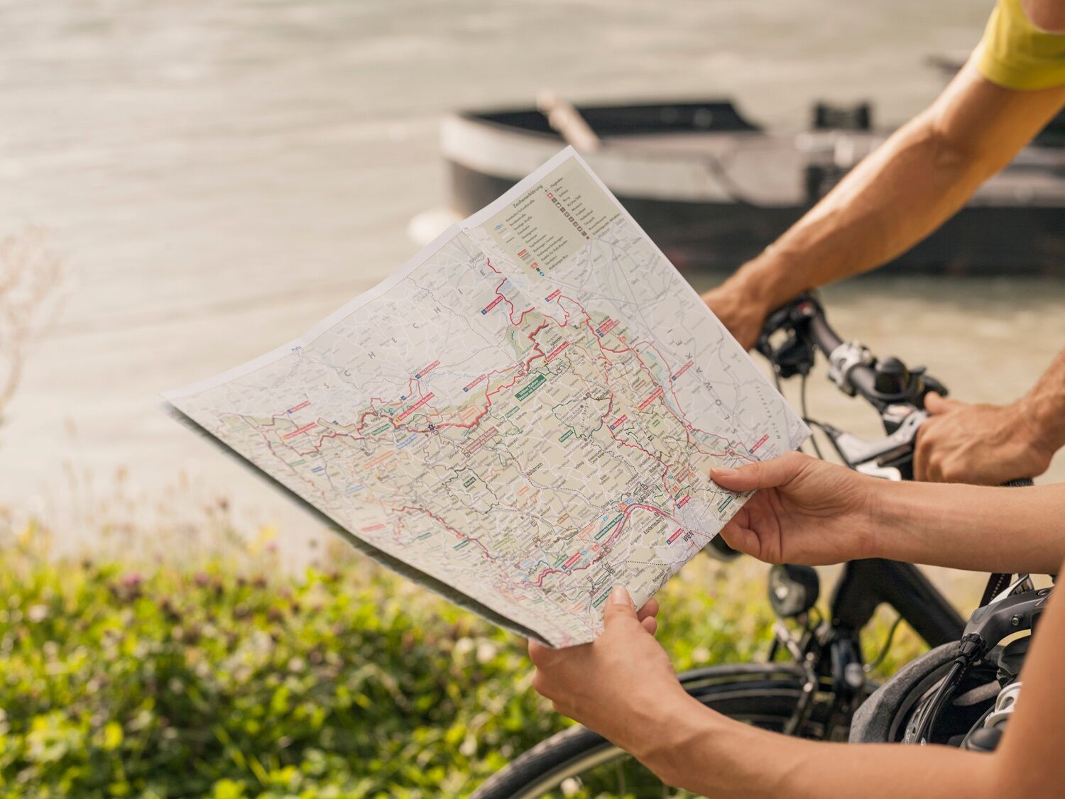
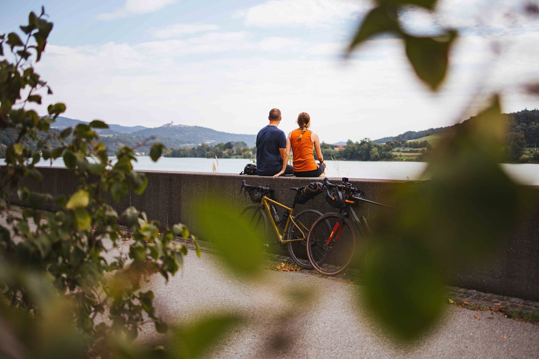
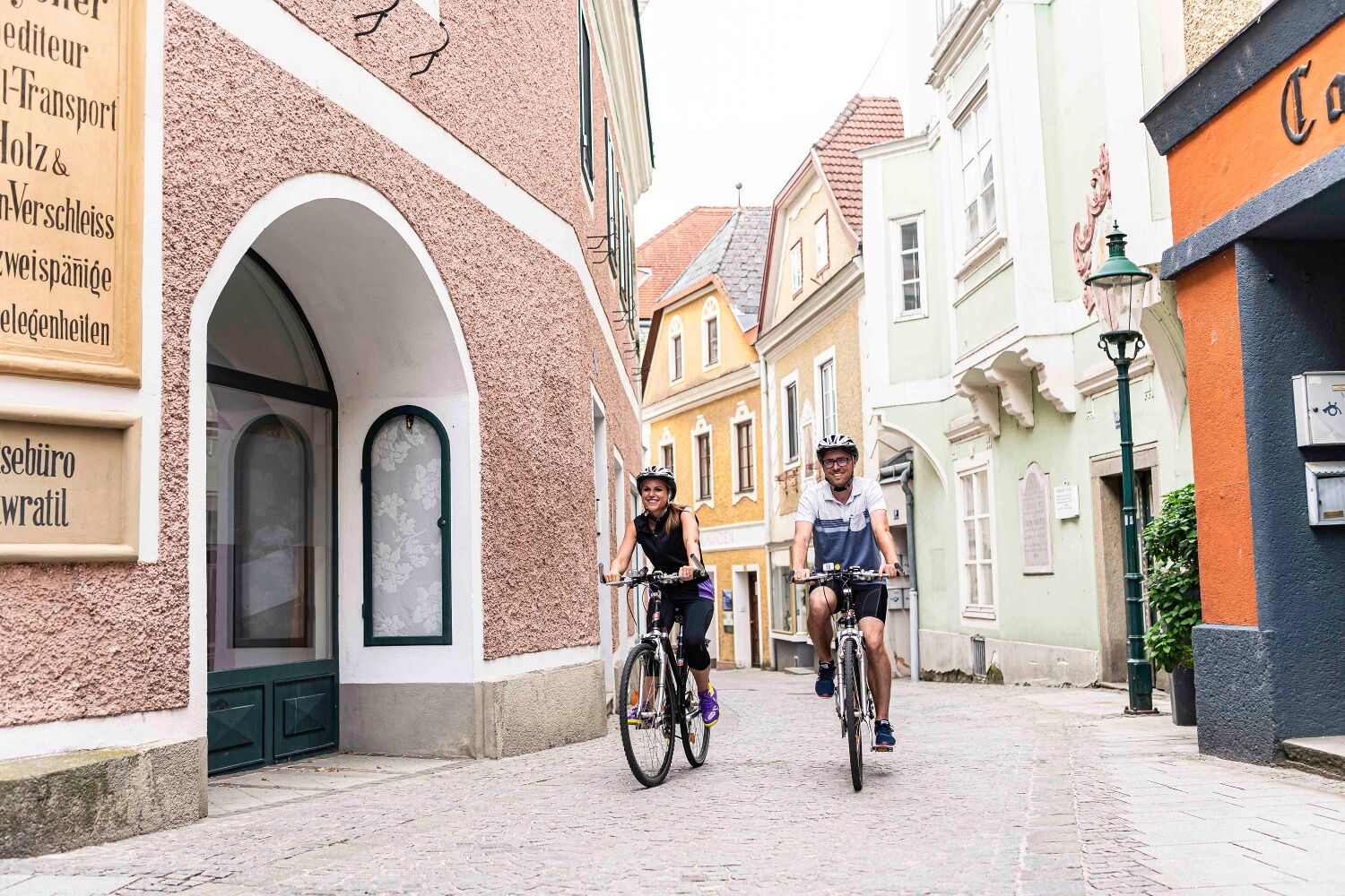

The route takes you along the Danube Cycle Path to Persenbeug-Gottsdorf, further to Ysperdorf, and then turns towards the Ysper Valley. Part of the route follows the Ysper Valley Cycle Path, and via Münichreith you reach Hilmanger.
There, the efforts of the route are rewarded with a wonderful view of Maria Taferl, the Danube valley, and the Alpine foothills, before returning to Marbach.
Marbach is accessible via the A1 West Motorway, Pöchlarn exit. At the exit, take the first exit in the roundabout, after about 1 km turn left towards the Danube bridge. Cross the bridge, then keep left on Wachauerstraße (B3) until you reach Marbach.
From Krems or Grein, come via Wachauerstraße (B3) to Marbach.
Public – by train to Krummnußbaum, ferry (Hell) to Marbach, or by bus from Ybbs to Marbach.
Travel with ÖBB to the Pöchlarn train stop - timetable query. From the station, take the bus to Marbach - timetable information.
Or: take ÖBB to the Krummnußbaum train stop and cross the Danube with the Hell ferry to Marbach.
We recommend arriving by car, as public transport does not cover a seamless connection.
There are sufficient parking spaces on the Danube waterfront in Marbach.
Person responsible for the content of this tour:
Wachau-Nibelungengau-Krems Valley ("Kremstal" in German):
Start the route with breakfast in Marbach at Cafe-Konditorei Barbara Braun or end with a visit to the Gasthof zur schönen Wienerin. Strengthen yourself with traditional home cooking and discuss your experiences with the innkeeper and bicycle expert of the region!
Pridobite vpogled
Vedno v živo na mestu z več kot 9.500 spletnimi kamerami. bergfex Kot uporabnik Pro si lahko zdaj ogledate ustrezne spletne kamere za številne izlete v aplikaciji izleti iz. Tako si lahko neposredno ogledate trenutne razmere.

Priljubljeni izleti v okolici
-
4.0
Yspertal: Druidenweg - Ysperklamm
srednjaPohodništvo 9.56 km -
4.6
Waldhausen: Outlook circuit
srednjaPohodništvo 14.0 km -
4.9
Stillensteinklamm Rundweg über Struden
svetlobaPohodništvo 12.6 km -
4.7
Stillensteinklamm, Grein
svetlobaPohodništvo 10.4 km -
4.6
Ausgedehnte Peilsteinrunde
srednjaPohodništvo 13.7 km -
4.5
Durch die Steinwandklamm von Maria Taferl aus
svetlobaPohodništvo 8.26 km -
4.6
Brandstetterkogel über Matras Steig
svetlobaPohodništvo 6.28 km -
4.8
Herzsteinweg Ysper und Burgsteinmauer
srednjaPohodništvo 14.7 km -
4.9
LAIMBACH Ostrong Peilstein 20220716
srednjaPohodništvo 7.70 km -
4.0
Burgstall-Wanderweg Nr. 3
srednjaPohodništvo 11.8 km
Pohodništvo in sledenje


Ne zamudite ponudb in navdiha za naslednje počitnice
Vaš e-poštni naslov je bil dodan na poštni seznam.





