


World Heritage - bike route
Fotografije naših uporabnikov
-
 © enipeus 65Ustvarjeno na 30.10.2022
 -

 © Iris1970Ustvarjeno na 22.07.2025
 -

 © inrulseipulUstvarjeno na 29.09.2023
 -
 © enipeus 65Ustvarjeno na 30.10.2022
 -
 © enipeus 65Ustvarjeno na 30.10.2022
 -
 © enipeus 65Ustvarjeno na 30.10.2022
 -
 © enipeus 65Ustvarjeno na 30.10.2022
 -
 © enipeus 65Ustvarjeno na 30.10.2022
 -
 © Moritz KleinsasserUstvarjeno na 02.05.2026
 -
 © Dmitriy SivkovUstvarjeno na 24.04.2026
 -
 © Dmitriy SivkovUstvarjeno na 24.04.2026
 -
 © László Soós 2Ustvarjeno na 18.04.2026
 -
 © Maria KönigUstvarjeno na 18.04.2026
 -
 © MoonytigerUstvarjeno na 04.04.2026
 -
 © BergpiratUstvarjeno na 05.03.2026
 -
 © BergpiratUstvarjeno na 05.03.2026
 -
 © enipeus 65Ustvarjeno na 16.12.2025
 -
 © enipeus 65Ustvarjeno na 16.12.2025
 -
 © Andreas Jerabek 1Ustvarjeno na 23.11.2025
 -
 © Andreas Jerabek 1Ustvarjeno na 23.11.2025
 -
 © EP87Ustvarjeno na 01.11.2025
 -
 © EP87Ustvarjeno na 01.11.2025
 -

 © Tom_Pils 2700Ustvarjeno na 26.10.2025
 -
 © István Gábor 1Ustvarjeno na 20.09.2025
 -
 © Antonietta HavasiUstvarjeno na 08.09.2025
 -

 © georg leitnerUstvarjeno na 19.06.2025
 -
 © BergpiratUstvarjeno na 13.06.2025
 -
 © Helmut PachmanUstvarjeno na 13.05.2025
 -
 © Helmut PachmanUstvarjeno na 13.05.2025
 -
 © Helmut PachmanUstvarjeno na 13.05.2025
 -
 © WanderschuhUstvarjeno na 03.05.2025
 -
 © isor8.7.Ustvarjeno na 17.03.2025
 -
 © kurtzUstvarjeno na 26.01.2025
 -
 © Car WanderfreudeUstvarjeno na 03.01.2025
 -
 © Utassy Tóth JohannaUstvarjeno na 07.04.2024
 -
 © Utassy Tóth JohannaUstvarjeno na 07.04.2024
 -
 © Utassy Tóth JohannaUstvarjeno na 07.04.2024
 -

 © Aga MUstvarjeno na 18.02.2024
 -
 © Aga MUstvarjeno na 18.02.2024
 -
 © Aga MUstvarjeno na 18.02.2024
 -
 © Aga MUstvarjeno na 18.02.2024
 -

 © Herbert EckelhartUstvarjeno na 30.04.2023
 -

 © eva_mountaininloveUstvarjeno na 21.05.2021
 -
 © eva_mountaininloveUstvarjeno na 21.05.2021
 -
 © eva_mountaininloveUstvarjeno na 21.05.2021

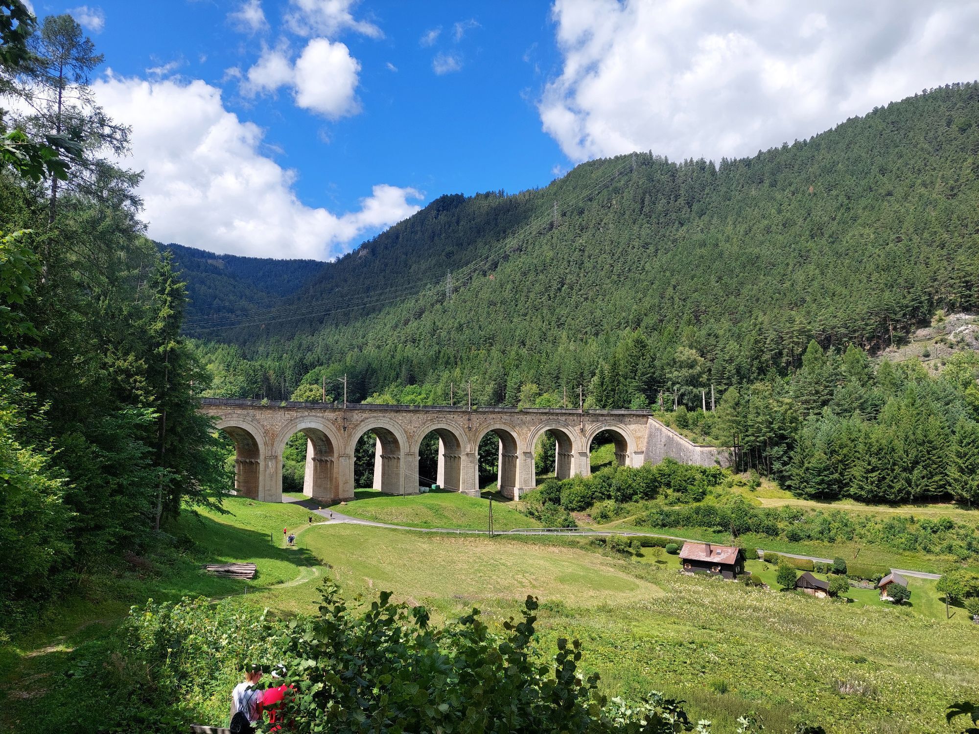

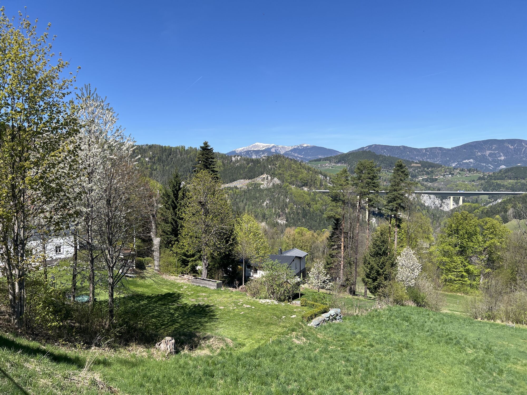


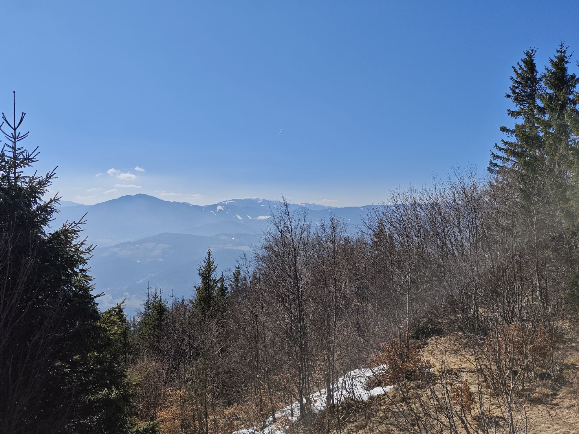


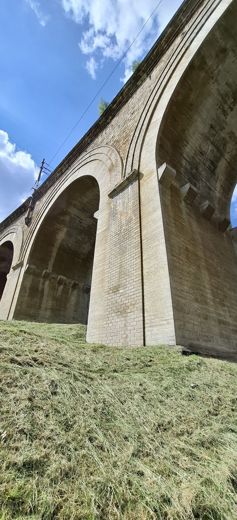


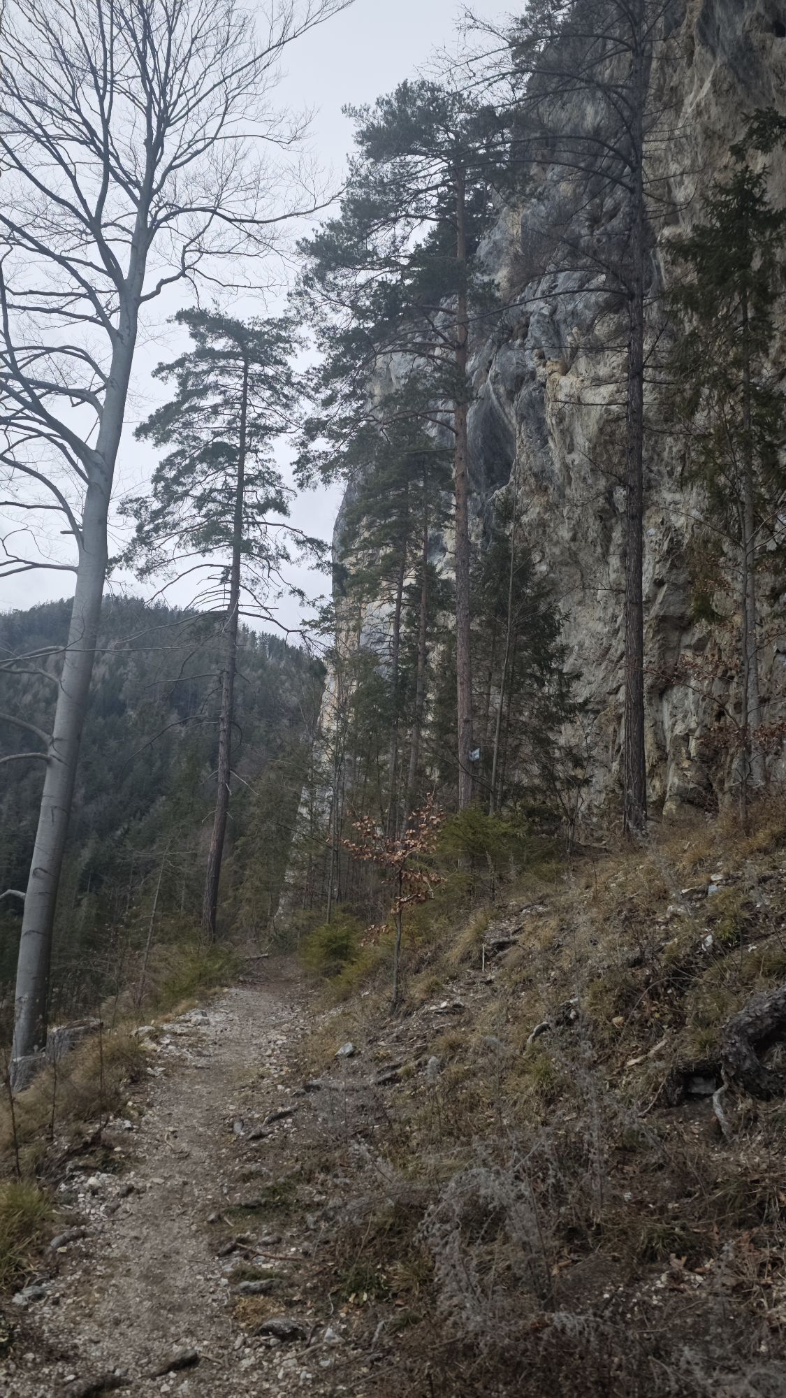

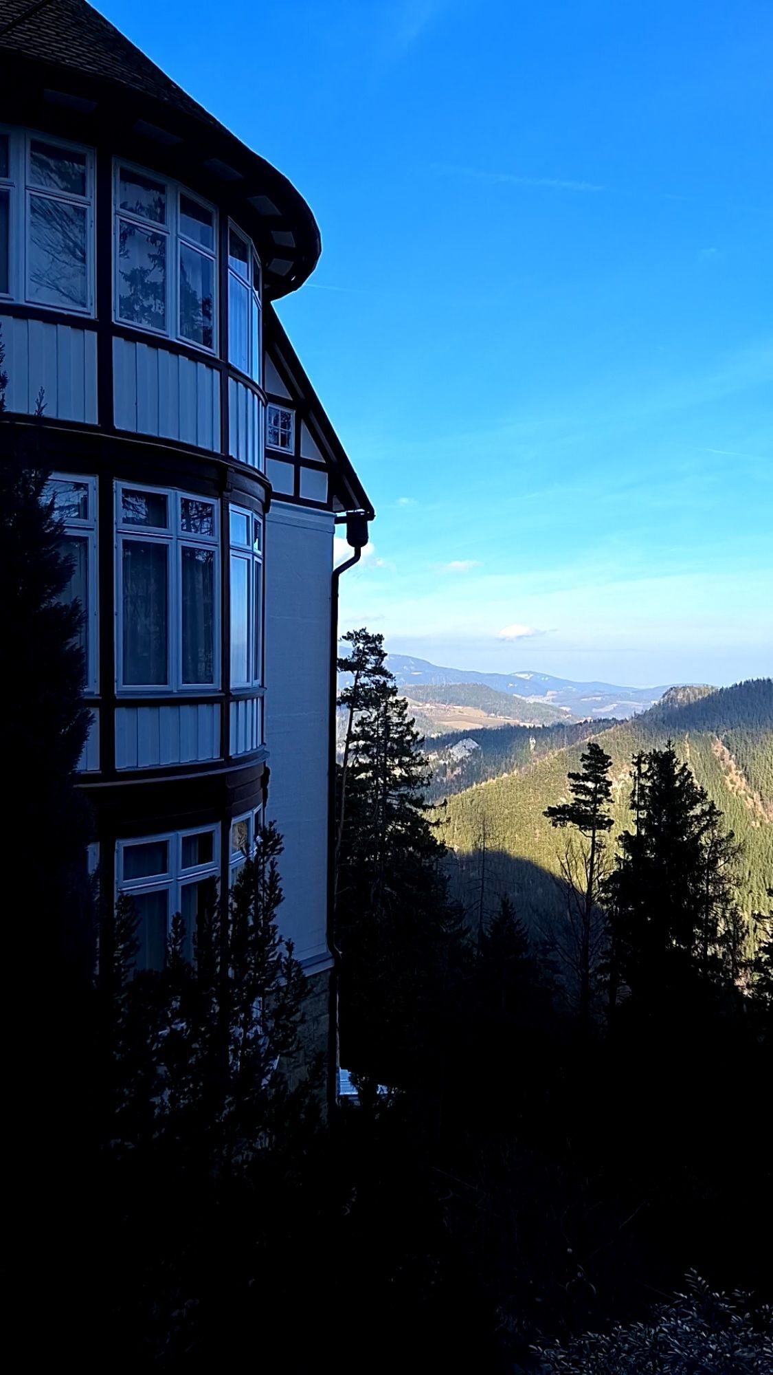
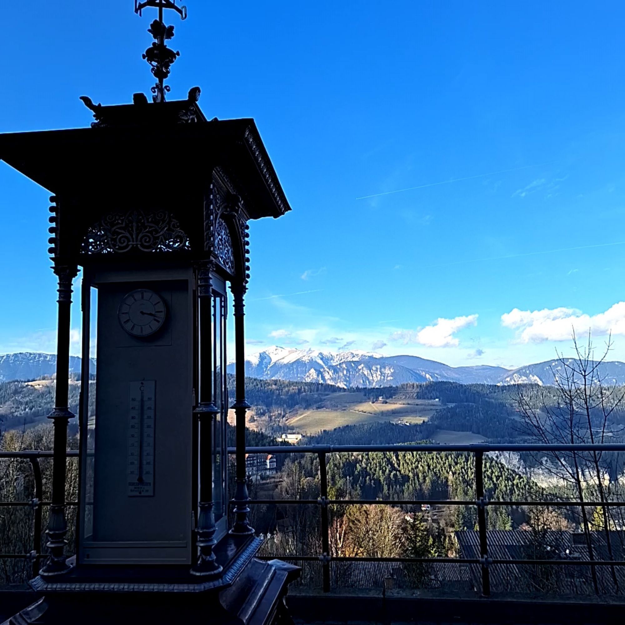


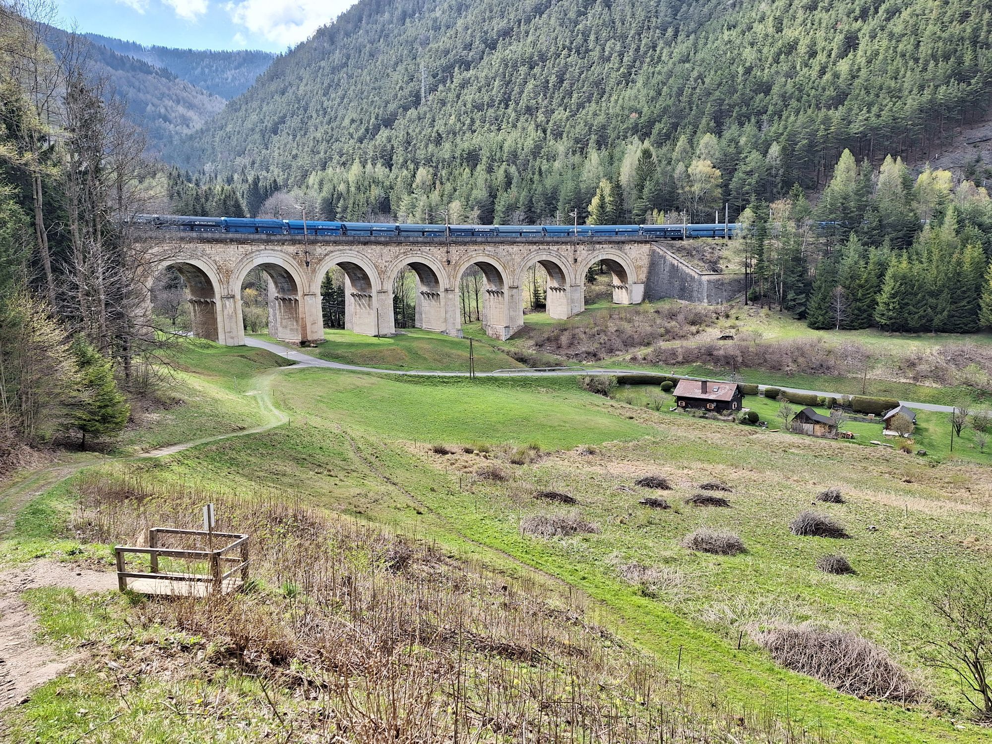
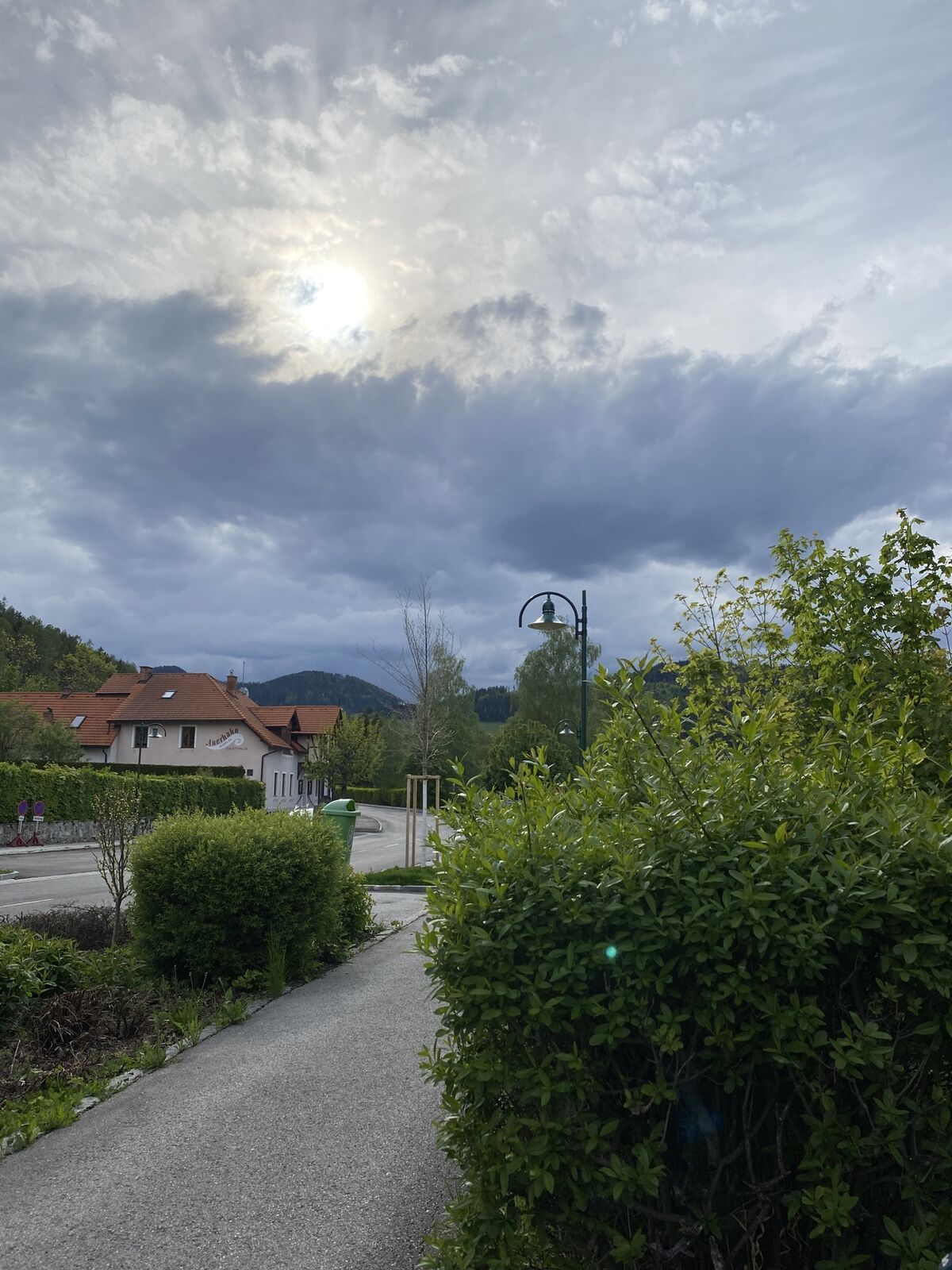
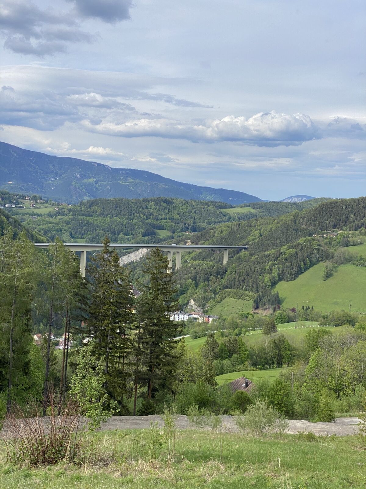
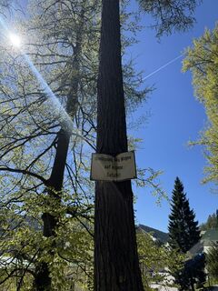
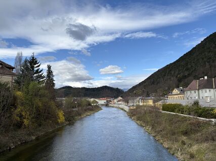
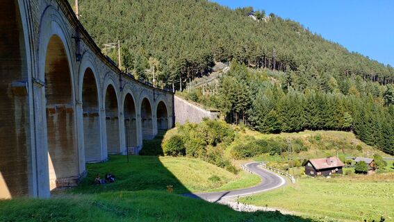
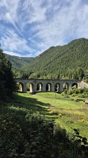
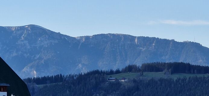
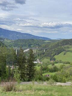
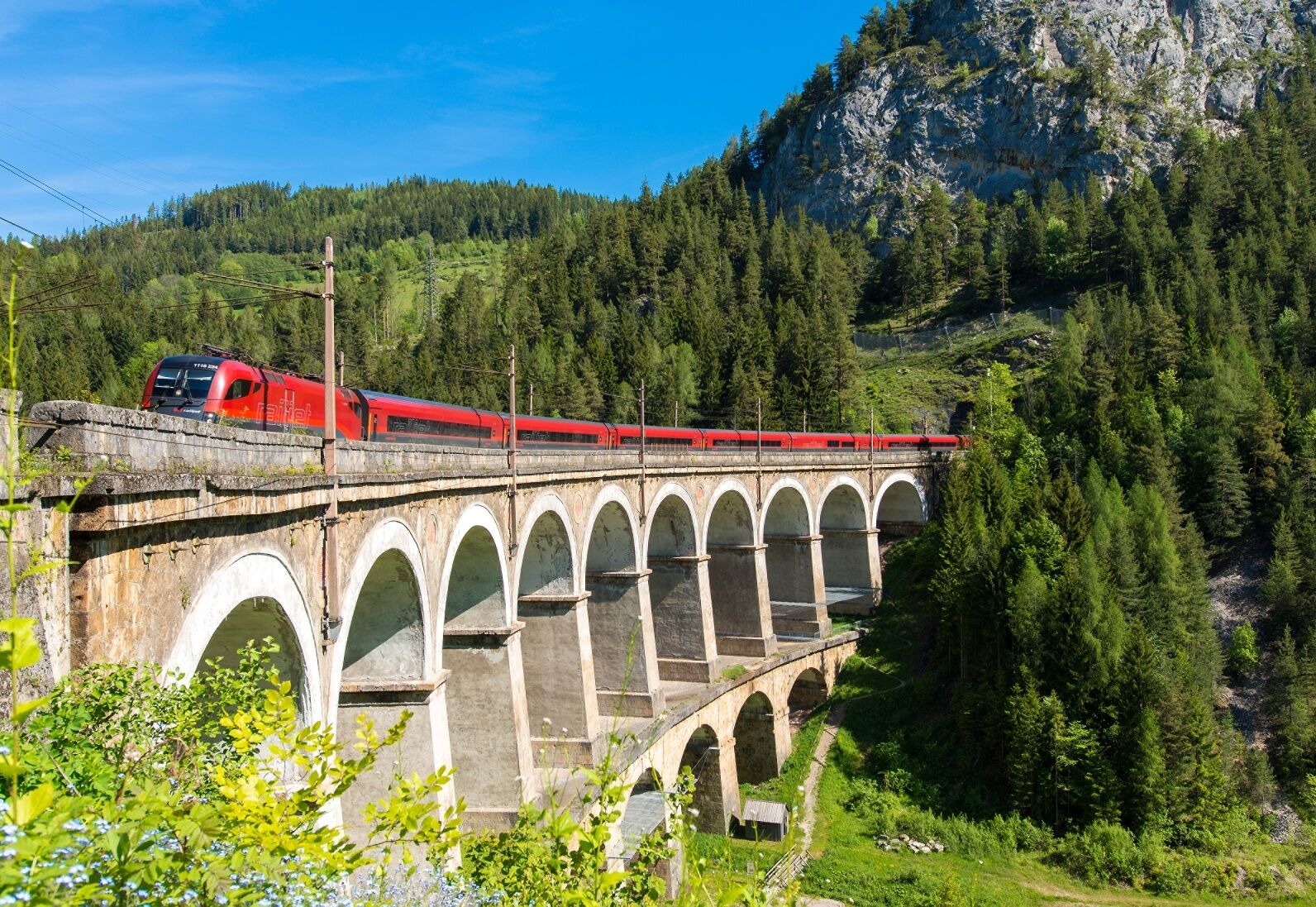
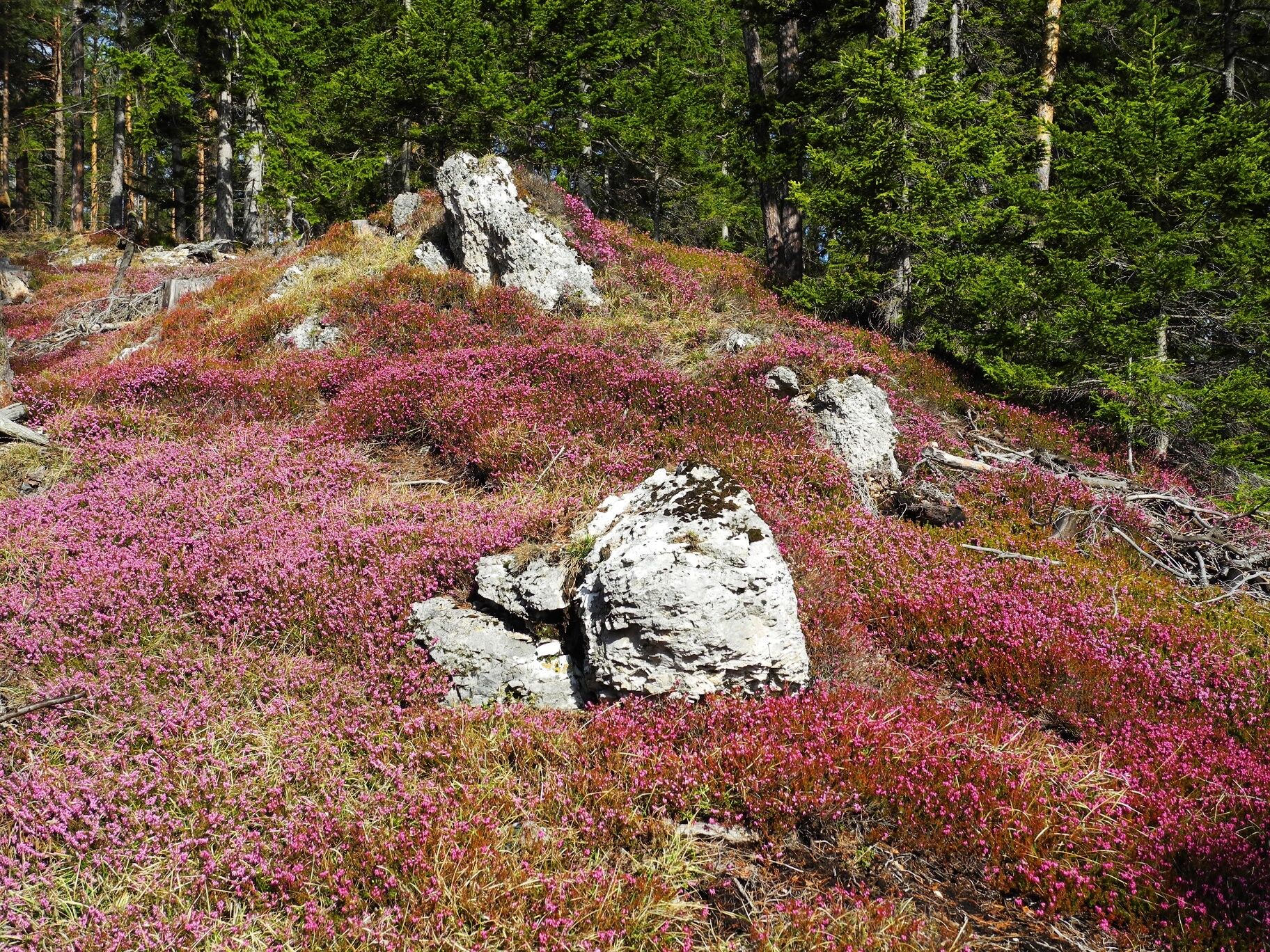
Cyclists gain a similar amount of altitude as the Semmering Railway on the 36-kilometre World Heritage Cycle Route. Admittedly with less luggage, but probably puffing along like the technical masterpiece...
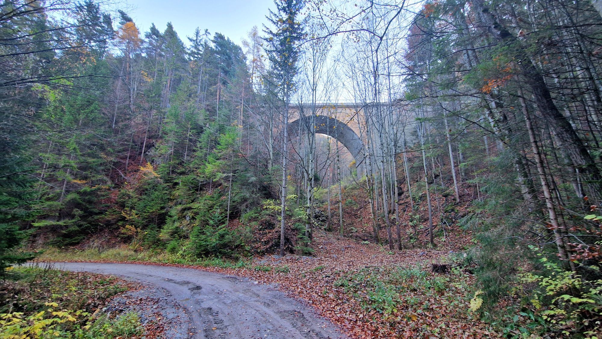
Cyclists gain a similar amount of altitude as the Semmering Railway on the 36-kilometre World Heritage Cycle Route. Admittedly with less luggage, but probably puffing along like the technical masterpiece that in 1854 was the first standard-gauge mountain railroad in Europe to run over viaducts, through tunnels and difficult terrain and is now a UNESCO World Hertige site. Those who undertake the challenging tour will experience wonderful views of the 160-year-old pioneering achievement and also enjoy the view of elegant summer resort villas along the Semmeringer Hochstraße.
The starting point is Gloggnitz train station. From there, the route follows Bahnhofstraße to the main road, where you turn right. Shortly before Gloggnitz main square, go left uphill and then continue straight left past the Gloggnitz town hall.
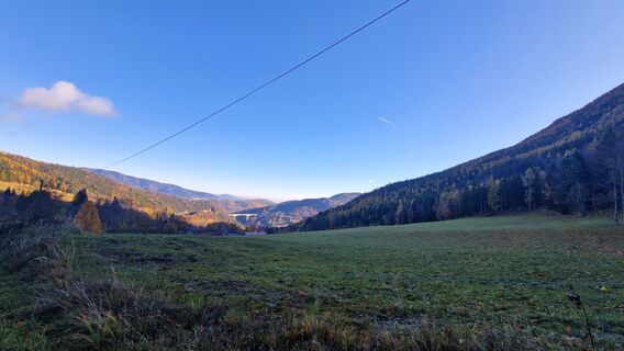
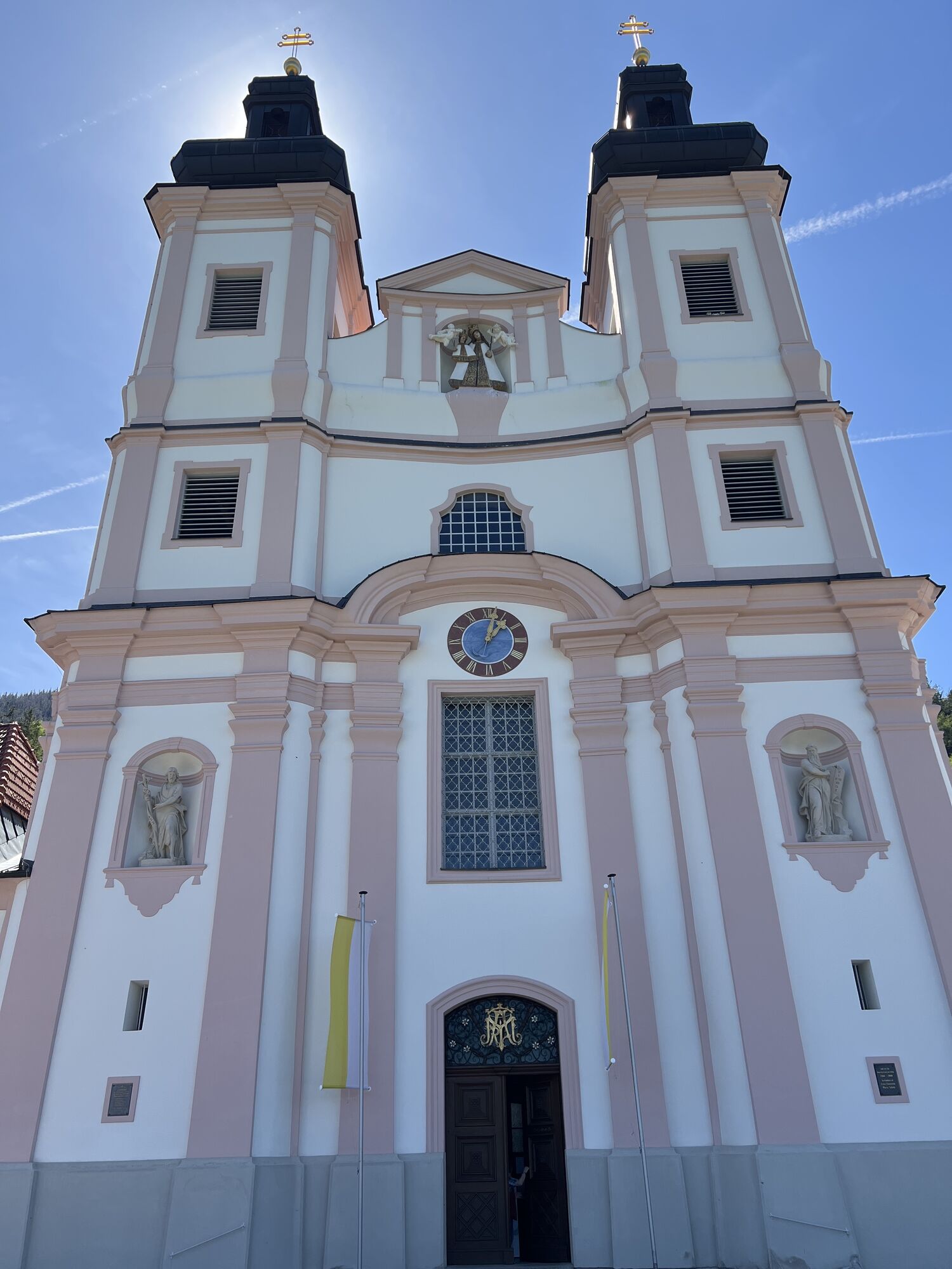
At the roundabout next to the Gloggnitz natural swimming pond, follow the signs towards Semmering. The route continues on Semmeringstraße until another roundabout is reached. There the route continues on L4168 towards Weißenbach. After the sharp left curve, continue to Schottwien. The ride continues through the town towards Maria Schutz.
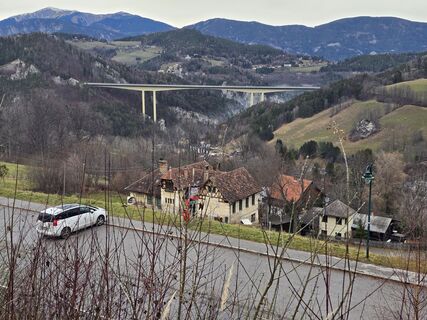
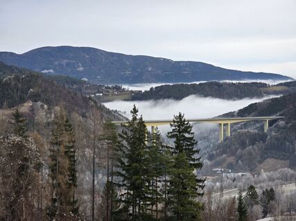
The route then continues towards Semmering. In this section, the Maria Schutz motorway ramp to the S6 is passed – here increased traffic volume is to be expected. Afterwards, the route continues to Greis. There, a gravel road branches off to the right. At the next intersection, keep right again towards Semmering train station.
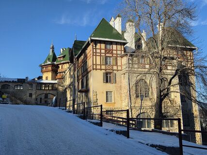
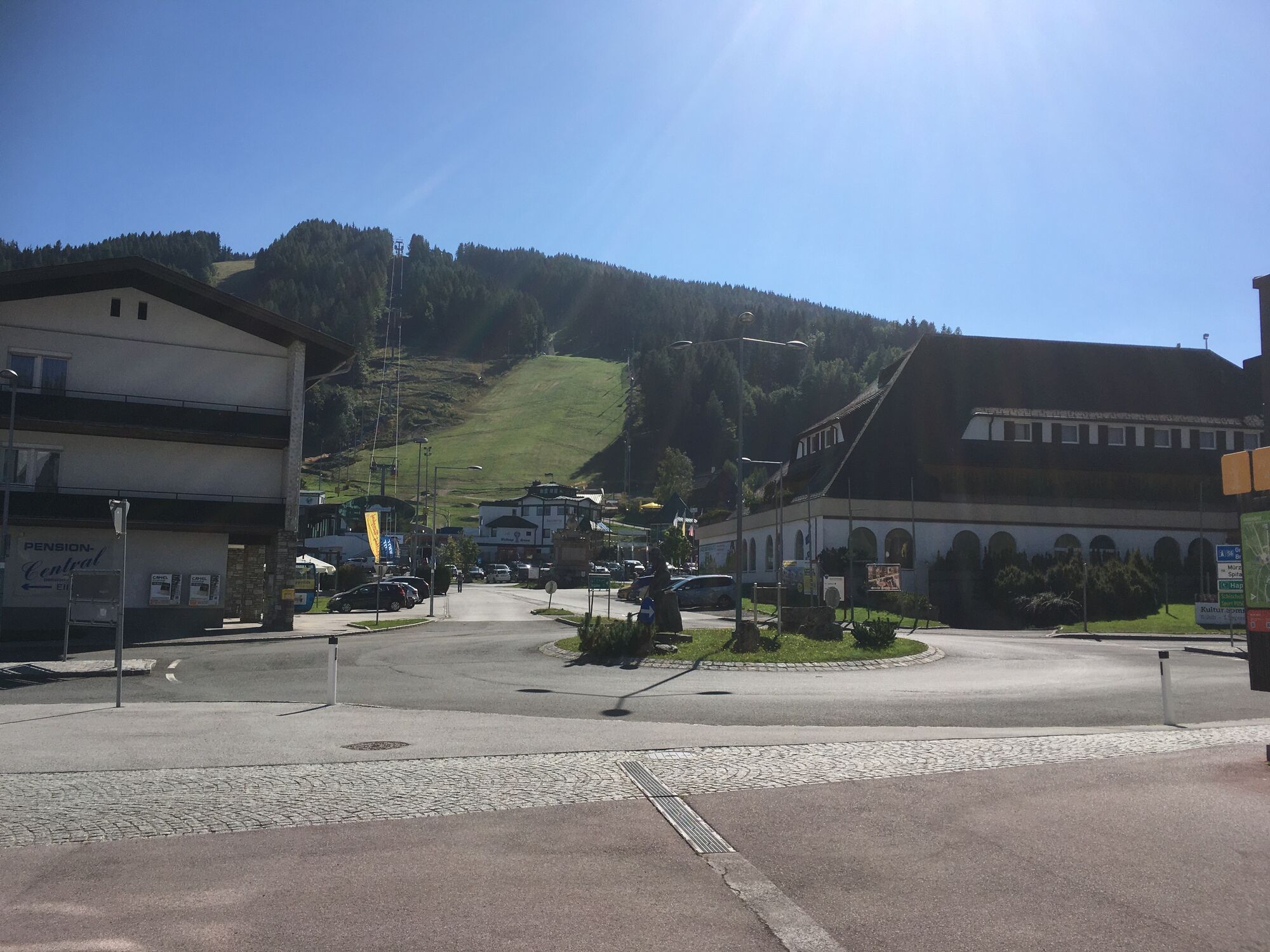
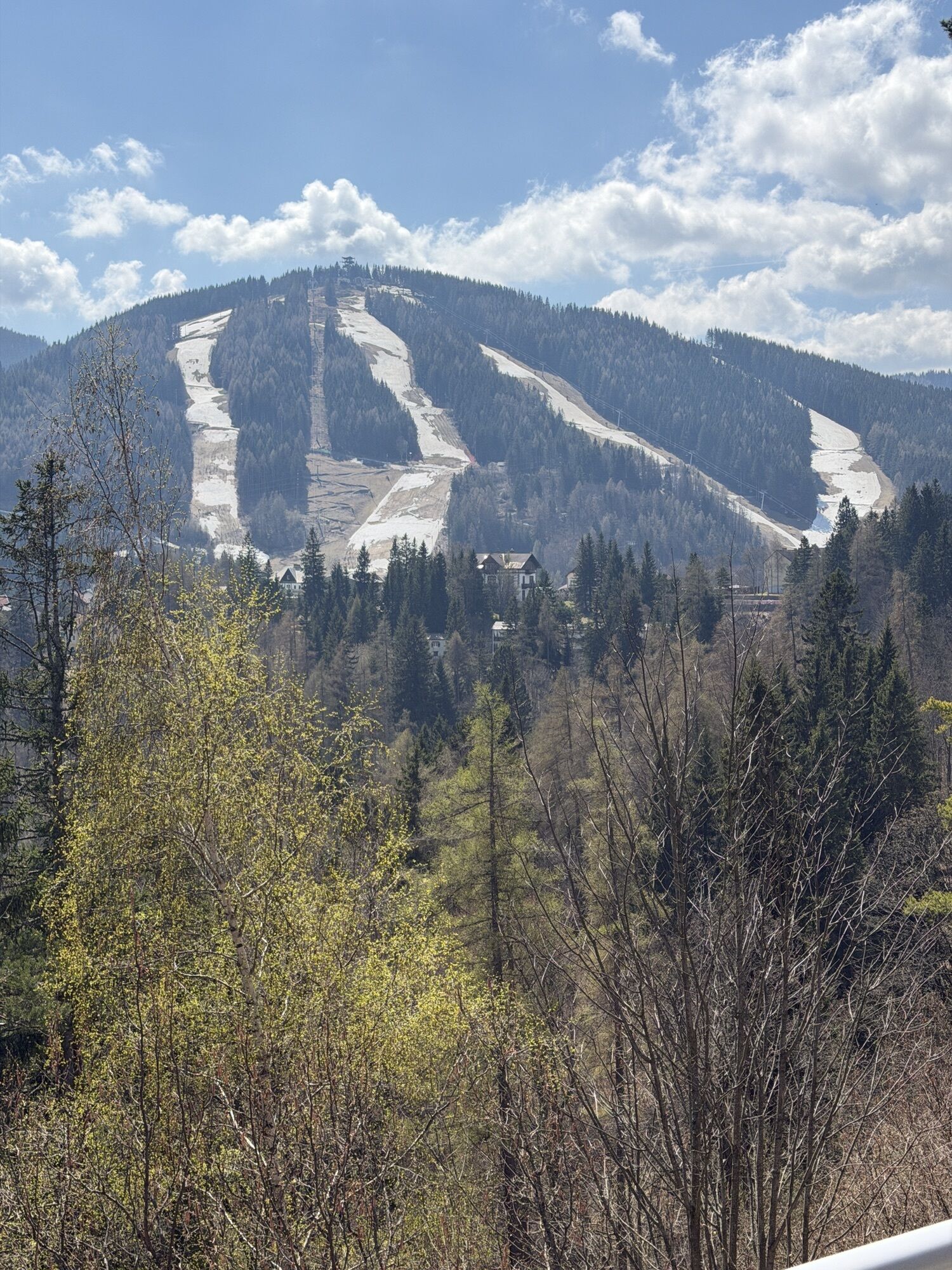
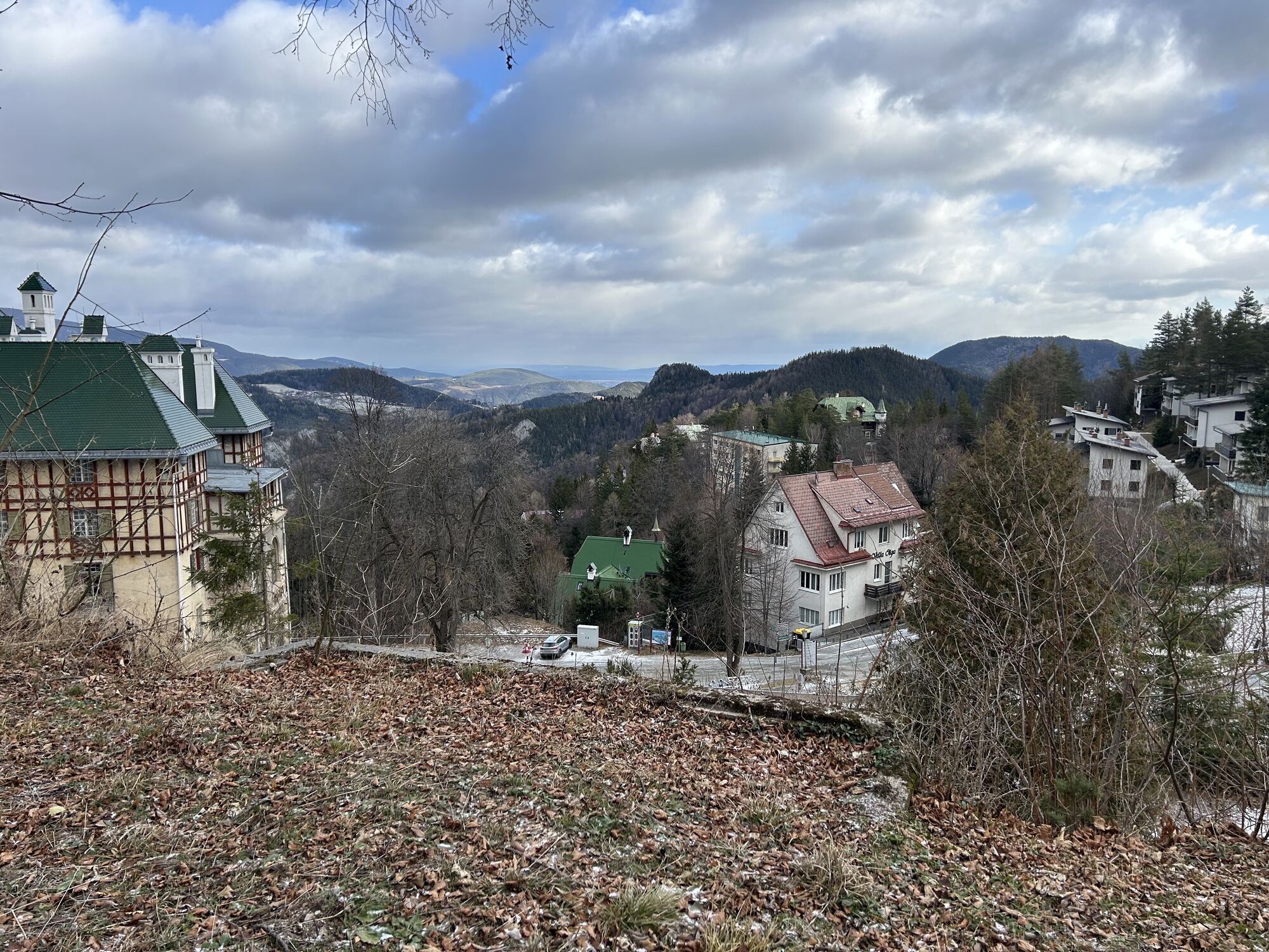
Following Bahnhofstraße, go uphill to the next intersection, where you turn right onto the Semmering pass. At the roundabout, go straight ahead, then after the supermarket turn right uphill. This street leads into Hochstraße.
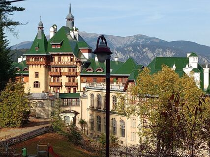
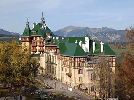
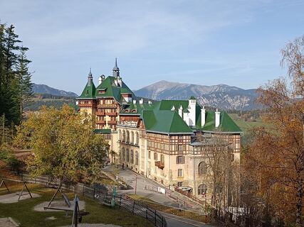
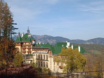
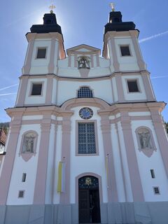
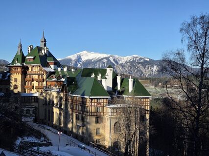
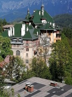
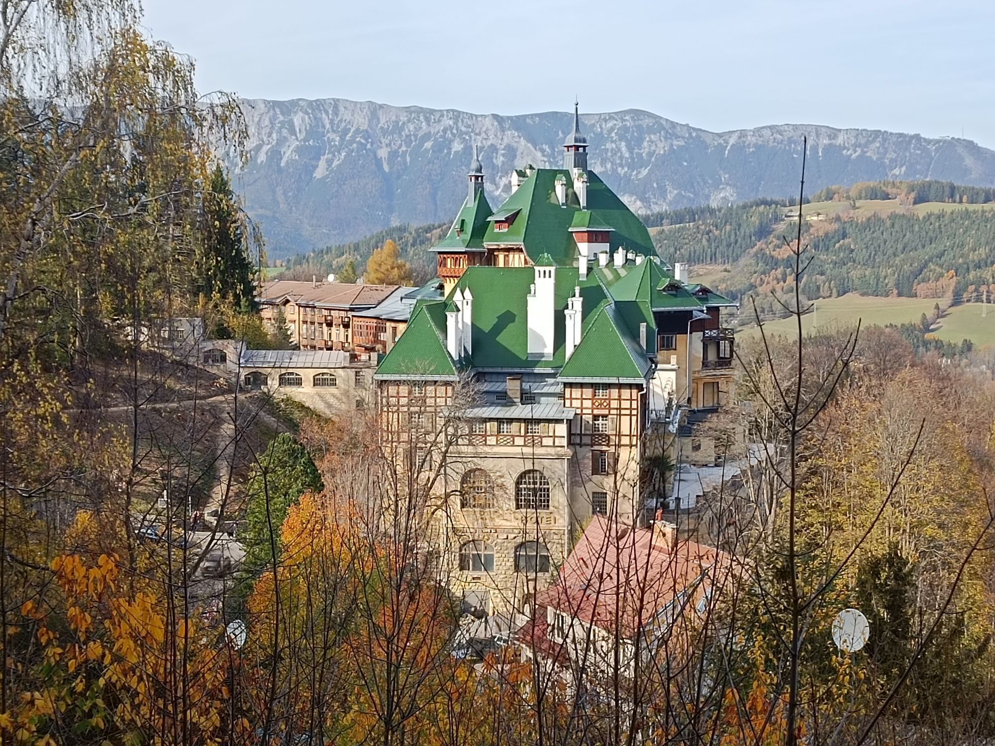
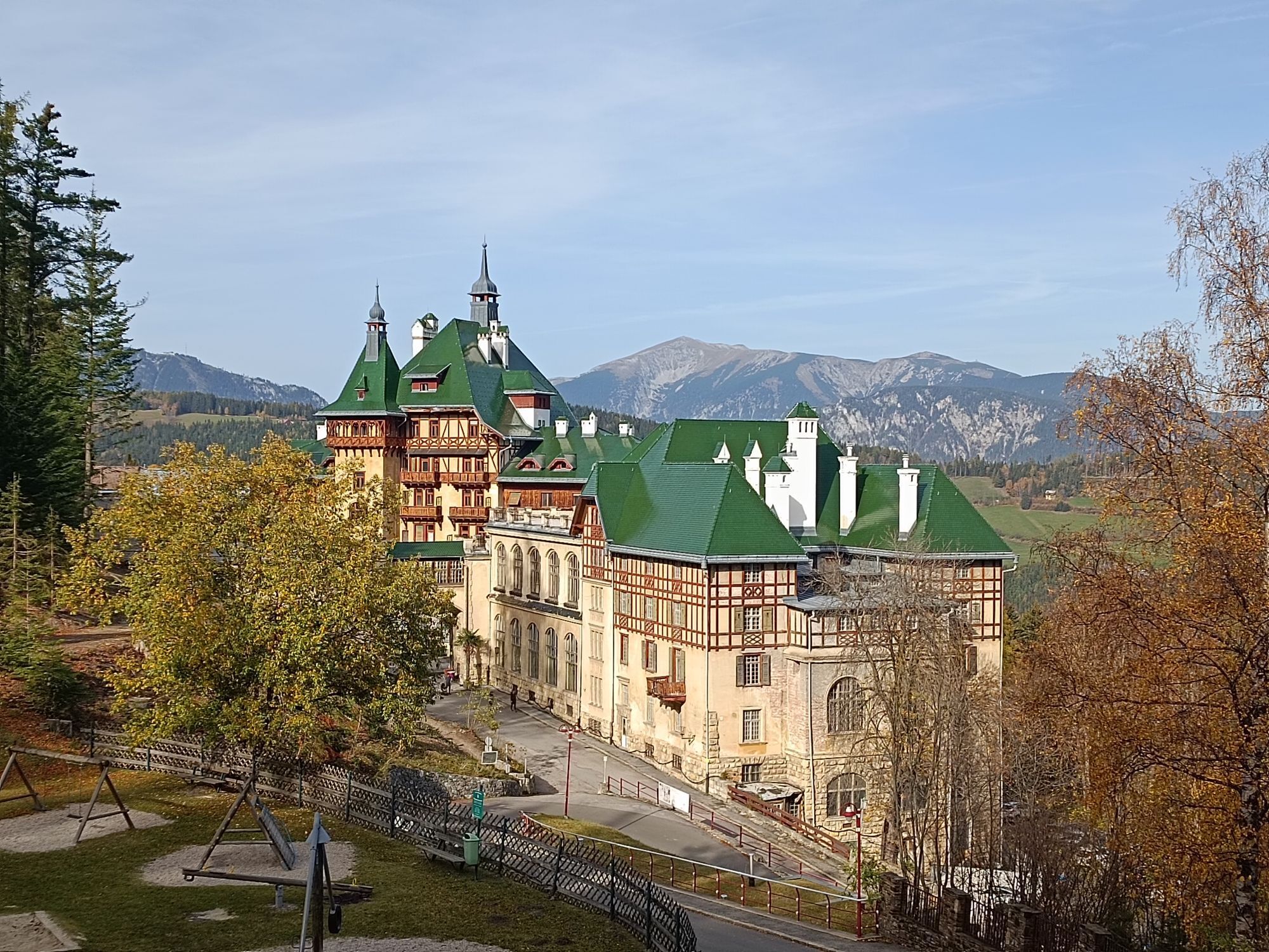
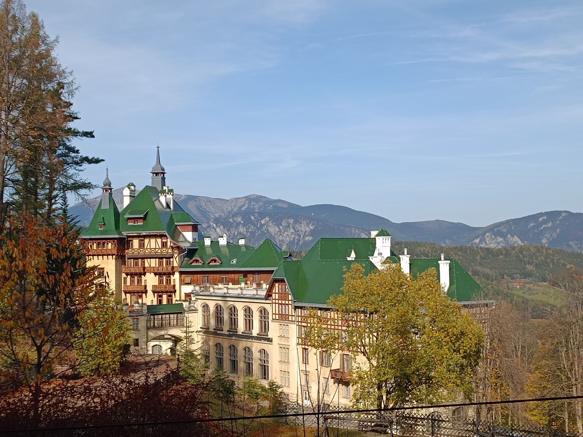
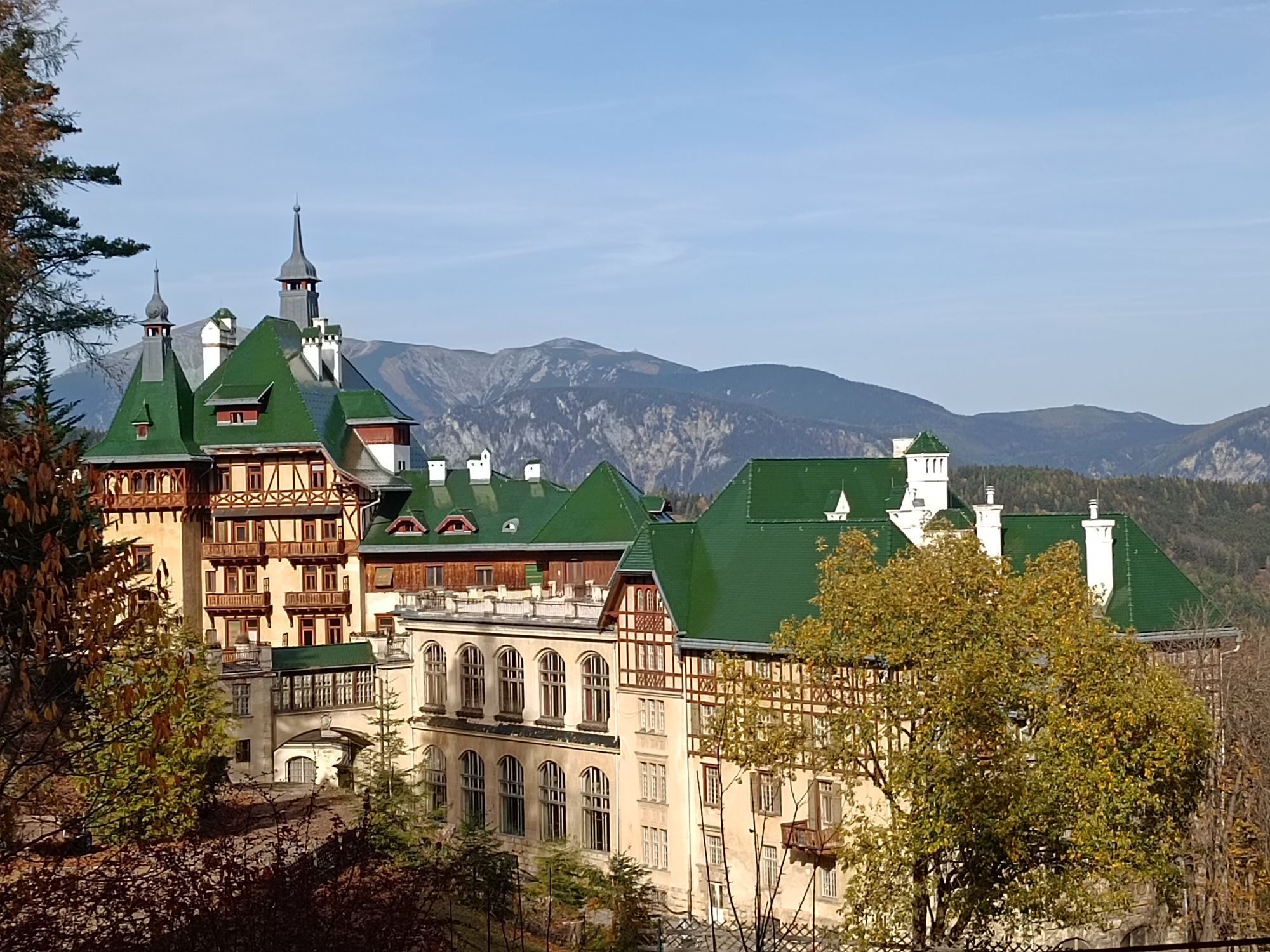
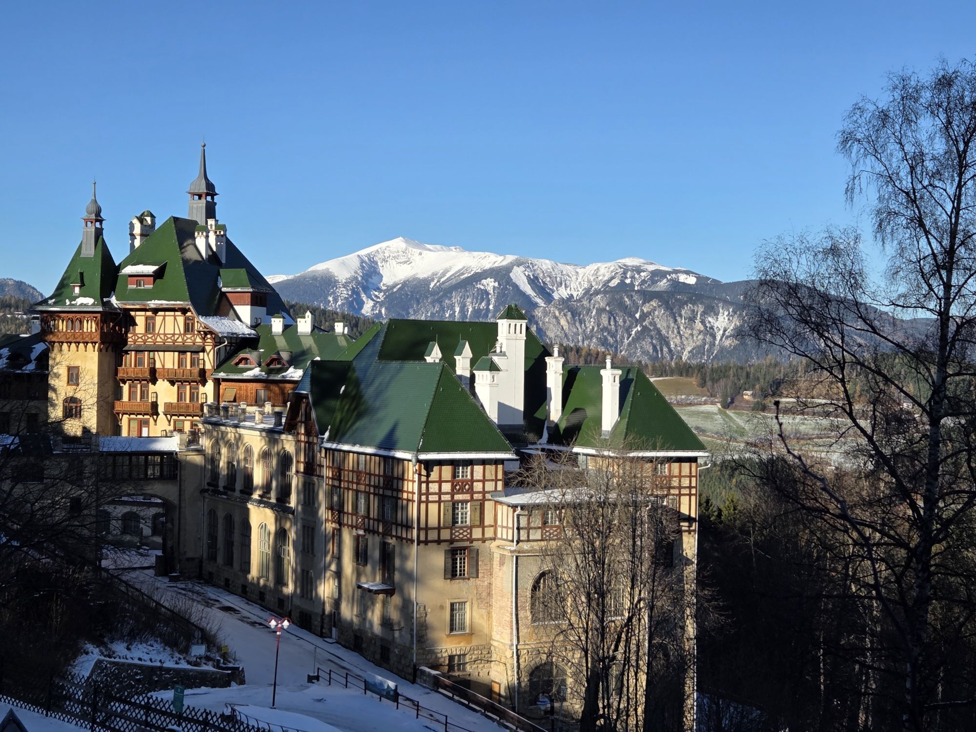
The route continues past hotels and historic villas to the Südbahnhotel, recognizable by its distinctive green roof. There turn left towards Breitenstein. The route runs steadily downhill through the upper part of the Adlitzgräben to Breitenstein.
Here you meet the state road L4167 towards Schottwien. From there, continue on L4168, which leads back to the starting point in Gloggnitz.
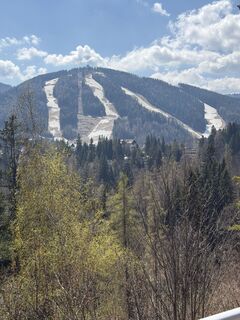
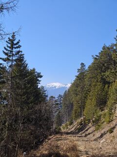
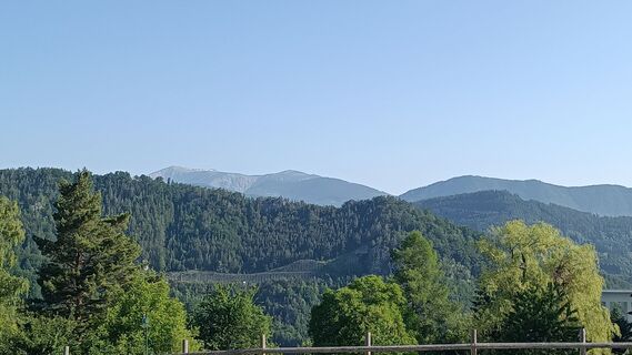
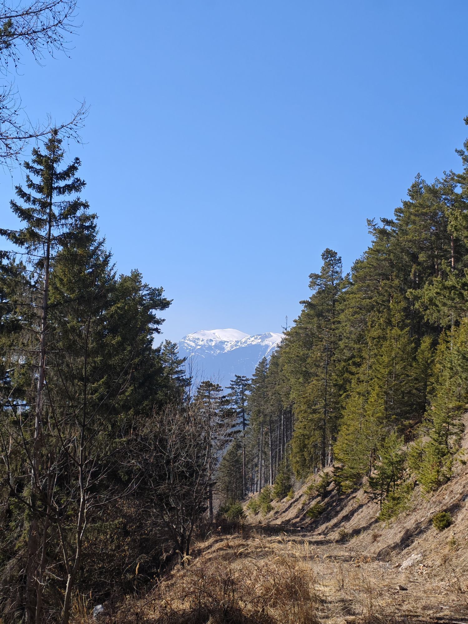
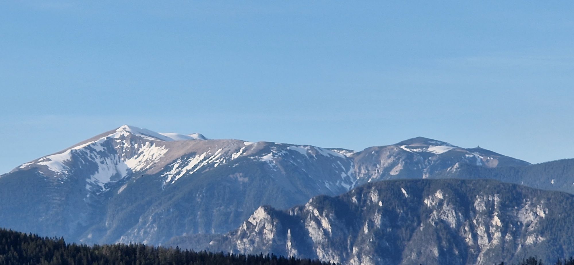
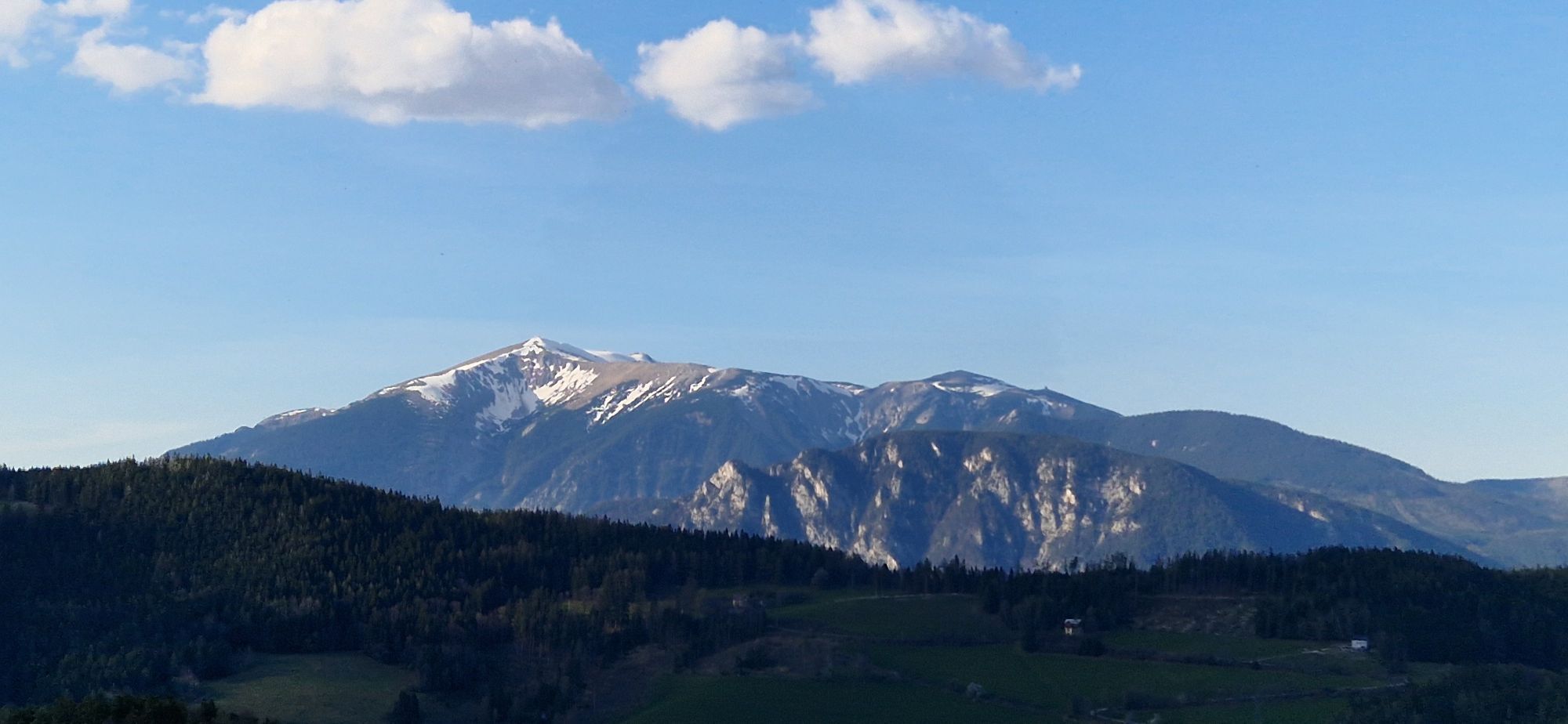
It should be noted for the equipment that the route leads up to 1,000 meters.
The route runs almost exclusively on state and municipal roads. A short section goes over a gravel road. Therefore, local car traffic is to be expected.
Due to the routing through mountainous terrain, it is especially suitable for athletic cyclists. Not suitable for families with small children.
From Vienna, take the A2 South Motorway to the S6 Semmering Expressway and take the Gloggnitz exit.
From Graz, take the S6 Semmering Expressway and take the Gloggnitz exit.
Arrival by train to Gloggnitz train station, where the starting point of the bike route is also located.
Parking is available at Gloggnitz train station.
More information:
Wiener Alpen in Lower Austria, www.wieneralpen.at, +43 / 2622 / 78960
Semmering Tourist Office, www.semmering.at, +43 / 2664 / 20025
Some of the highlights on the World Heritage bike route:
The jump into the cool water: makes every route perfect and is especially beautiful at the Gloggnitz natural swimming pond, a 1,200 m² self-cleaning natural swimming pond with a sunbathing area and old trees.The monastery doughnuts from Kirchenwirt: The sweet temptation from Maria Schutz is available classically with apricot jam, but also filled with vanilla or nougat cream.The technical support: The mechanics at the Bikestore.cc shop at the base station of the Zauberberg cable car are on hand with advice and assistance.There is a bonus challenge: Those looking for an additional challenge can switch in Gloggnitz to the Schwarzatal bike route.The connection is perfect: The journey from Vienna to Gloggnitz takes only one hour by train.Spletne kamere s turneje

Priljubljeni izleti v okolici
-
4.7
Zahnradbahn und Wandern am Schneeberg - Plateauwanderung
srednjaPohodništvo 6.90 km -
4.8
Rax - Heukuppe
Pohodništvo 15.6 km -
3.7
Schwaigen Rundwanderung
svetlobaPohodništvo 8.24 km -
5.0
"Weichtalklamm" über Stock und Stein durch das Höllental - Weichtalhaus - Kientallerhütte 1340m
srednjaPohodništvo 14.0 km -
5.0
Reißtalersteig und Gretchensteig
težkoPohodništvo 8.10 km -
4.9
Insider tip: Schneeberg via the Novembergrat
težkoPohodništvo 13.5 km -
4.8
Cultural walk Payerbach-Reichenau
svetlobaPohodništvo 7.43 km -
4.9
SCHNEEBERG Losenheim Nandlgrat Klosterwappen Fadenweg 28.09.2017
težkoPohodništvo 15 km -
4.8
"Krummbachstein 1602m" - Eng - Payerbach - Rundwanderweg
srednjaPohodništvo 24.8 km -
4.8
Flatzer Wand Wanderung
svetlobaPohodništvo 5.62 km
Pohodništvo in sledenje


Ne zamudite ponudb in navdiha za naslednje počitnice
Vaš e-poštni naslov je bil dodan na poštni seznam.