


Water Landscape Cycle Route
Fotografije naših uporabnikov
-
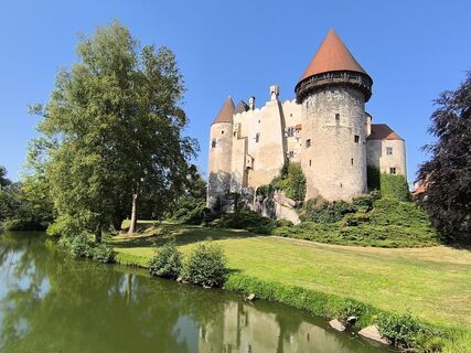
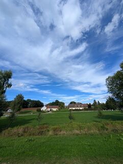
 © David HinczizaUstvarjeno na 04.09.2024
 -
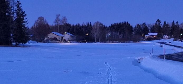
 © Deutsch MargitUstvarjeno na 11.01.2026
 -
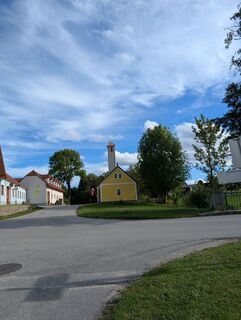
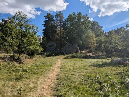
 © Marko XxxUstvarjeno na 15.09.2025
 -
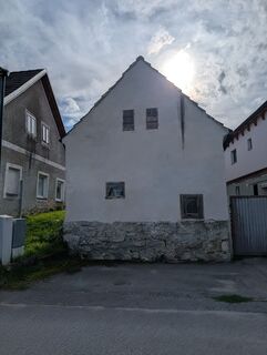 © Marko XxxUstvarjeno na 15.09.2025
 -
 © Marko XxxUstvarjeno na 15.09.2025
 -
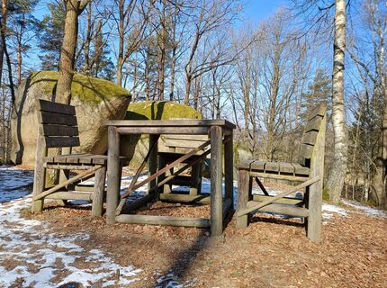
 © EderoUstvarjeno na 03.09.2025
 -

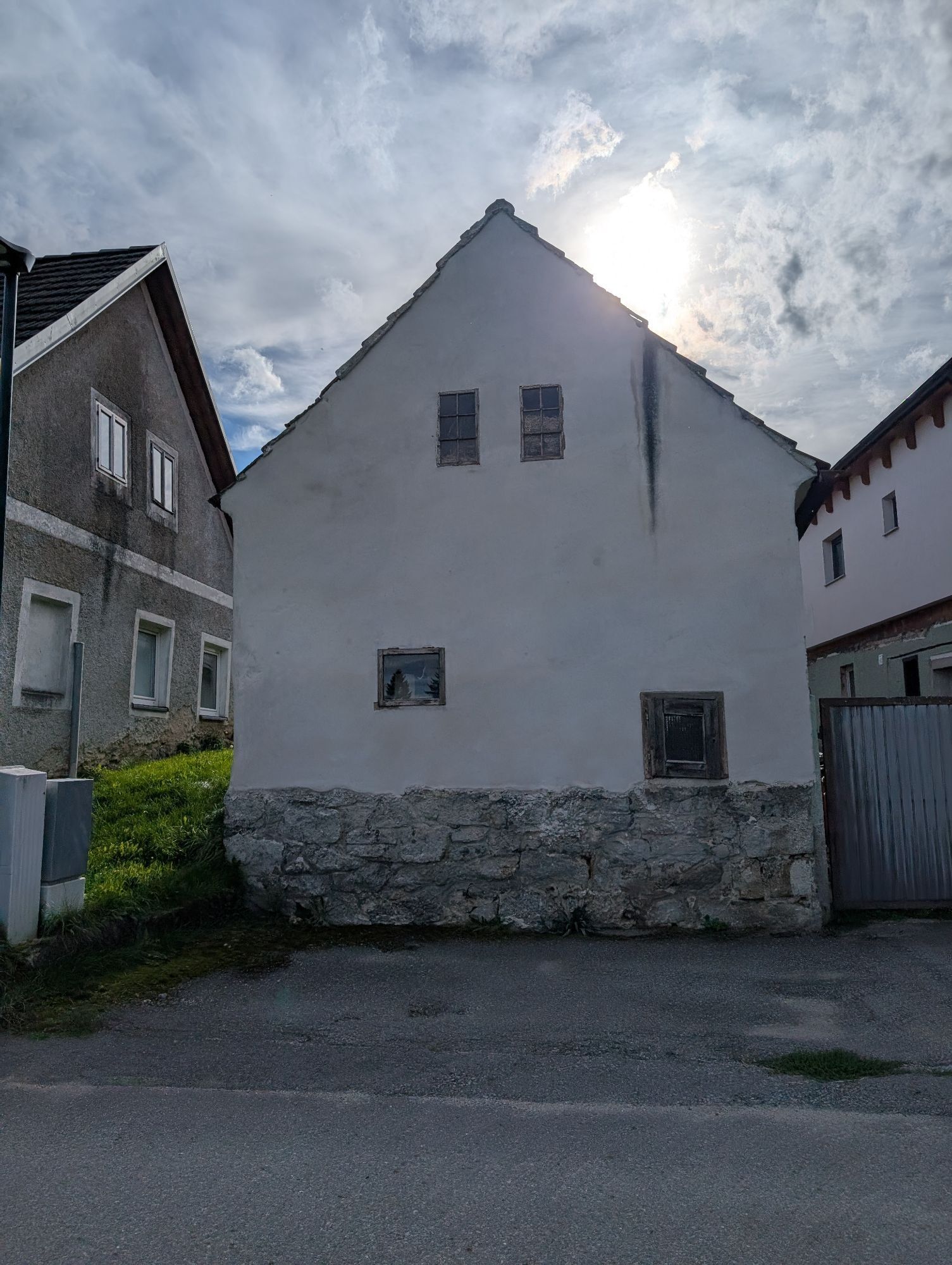
 © Herta WurzUstvarjeno na 22.02.2025
 -
 © Herta WurzUstvarjeno na 22.02.2025
 -
 © Herta WurzUstvarjeno na 22.02.2025


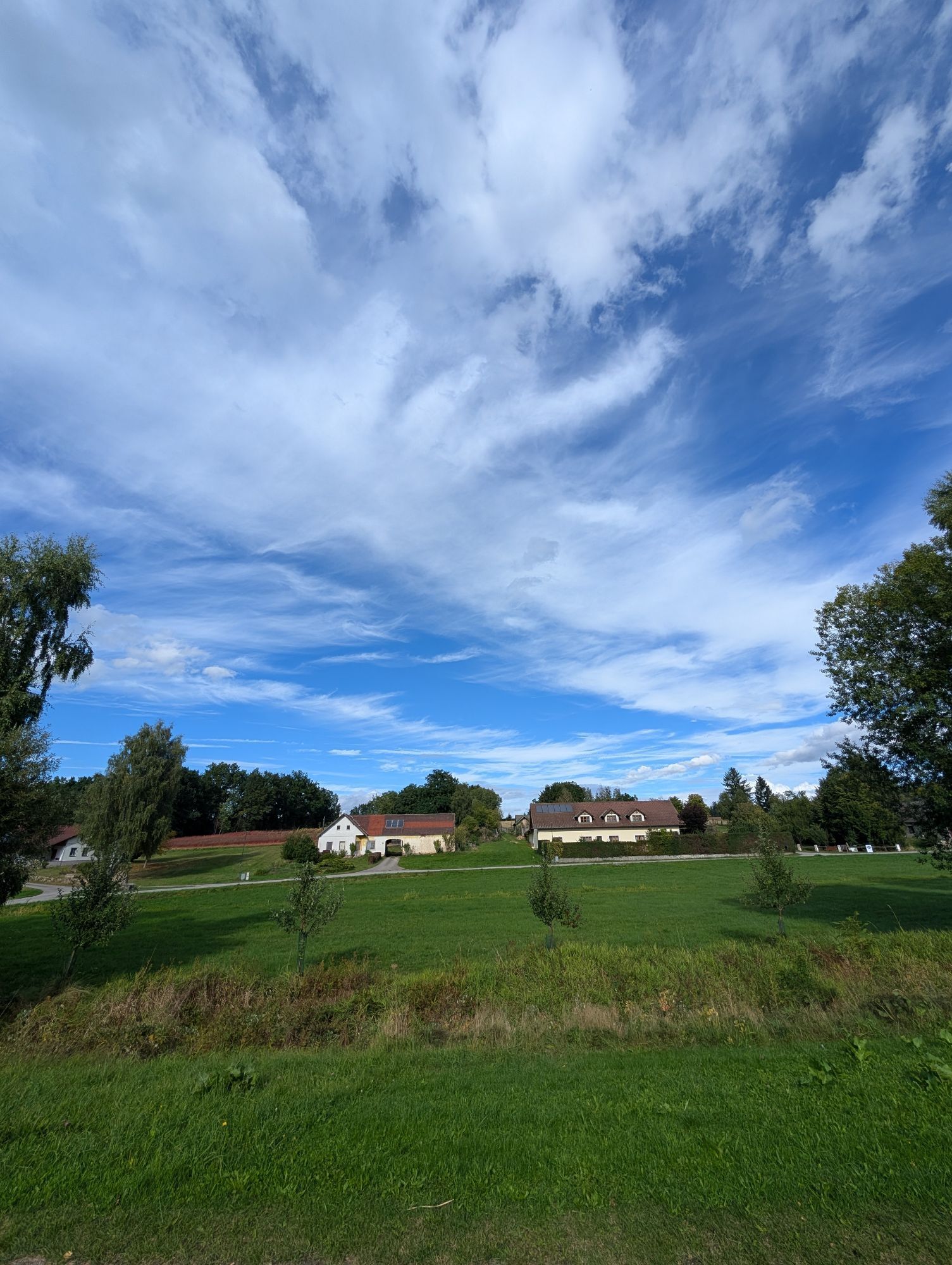


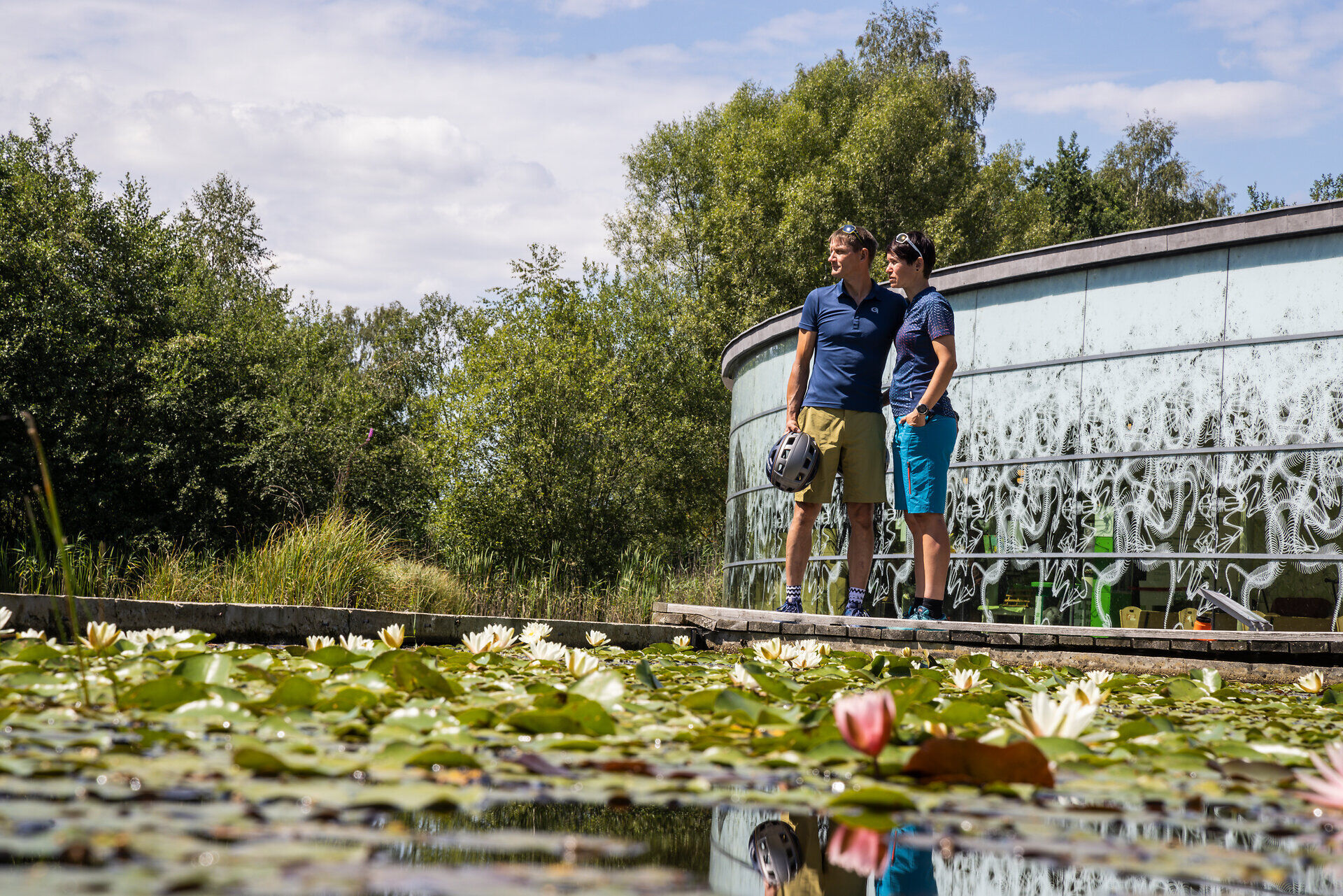
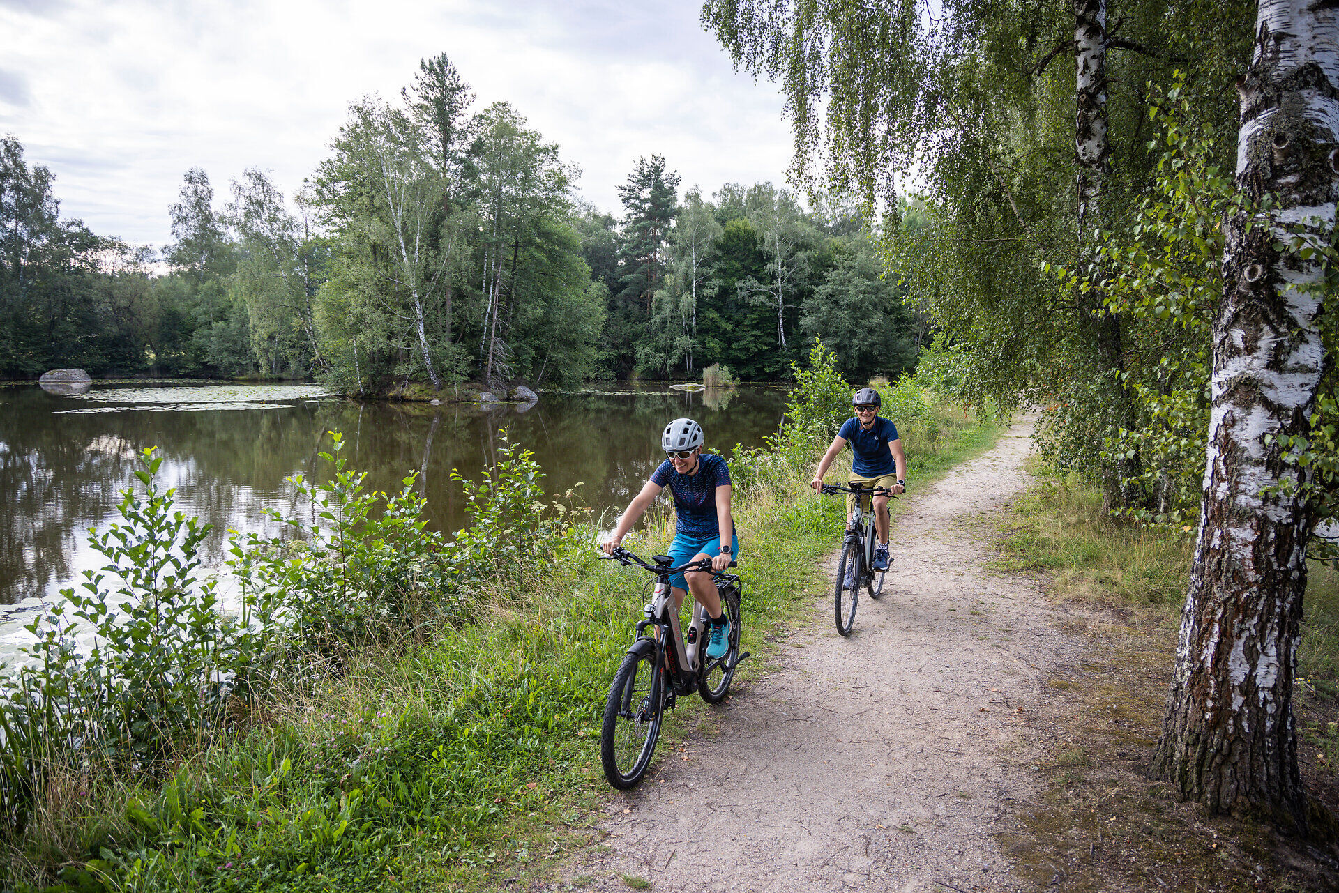
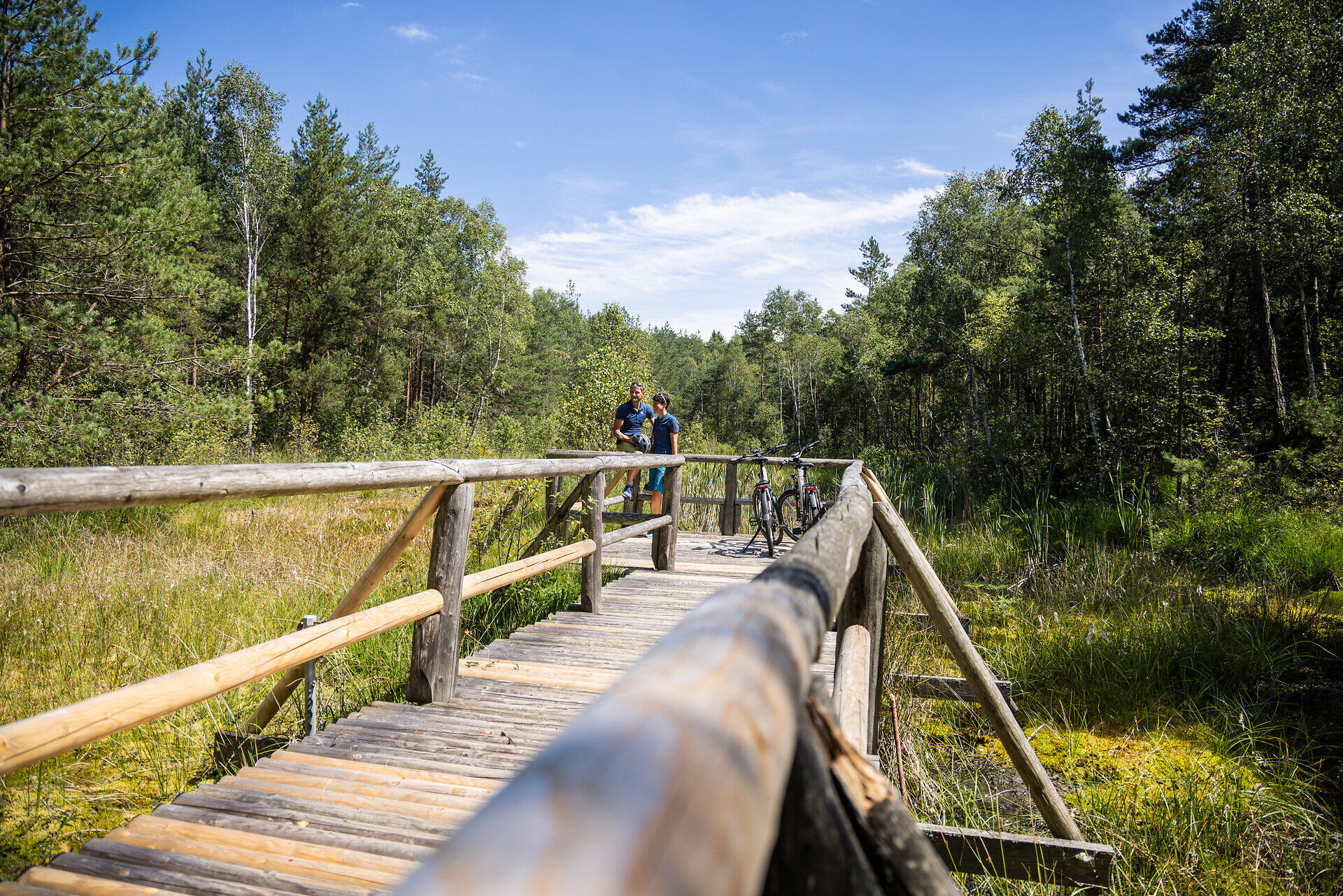
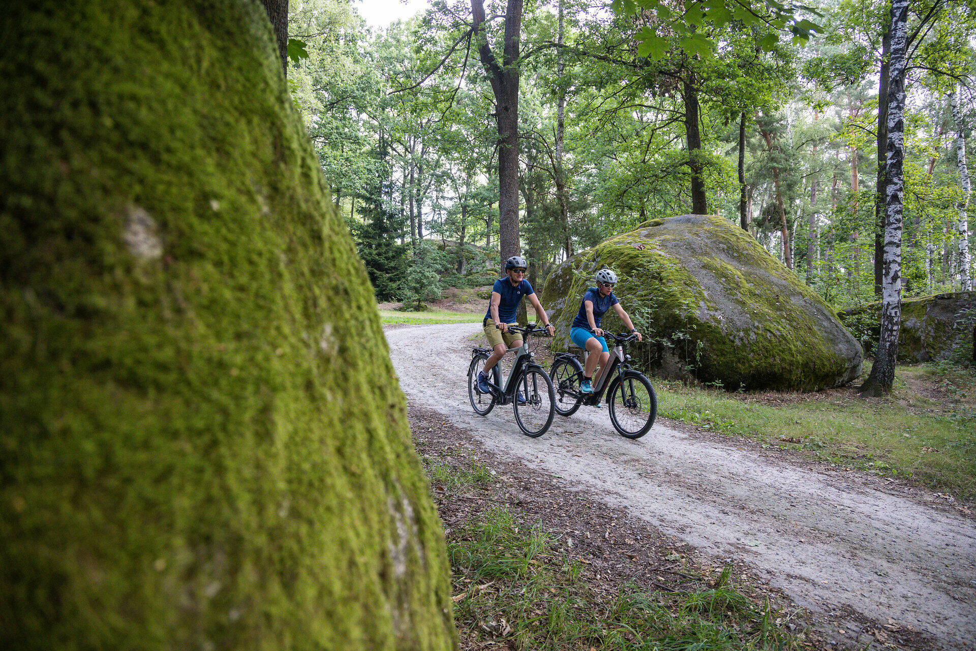
The Water Landscape Cycle Path runs through the Upper Waldviertel, between numerous ponds, dense forests and colorful flower meadows. Right at the start of the cycle tour, it becomes clear that numerous...
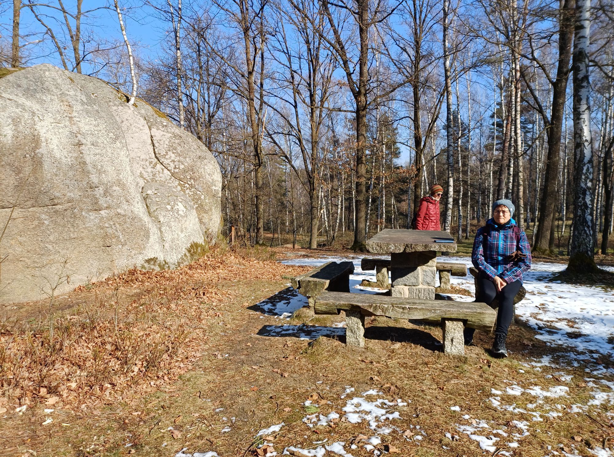
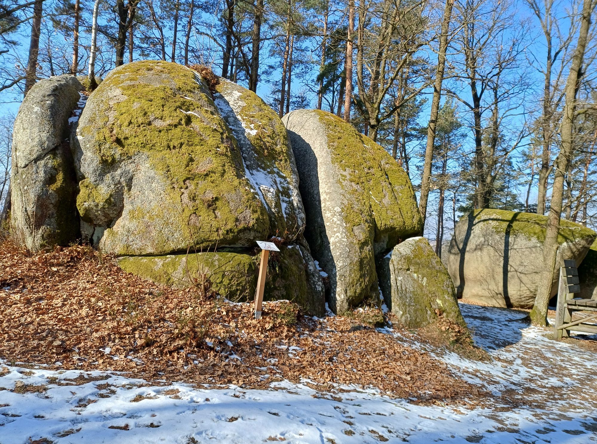
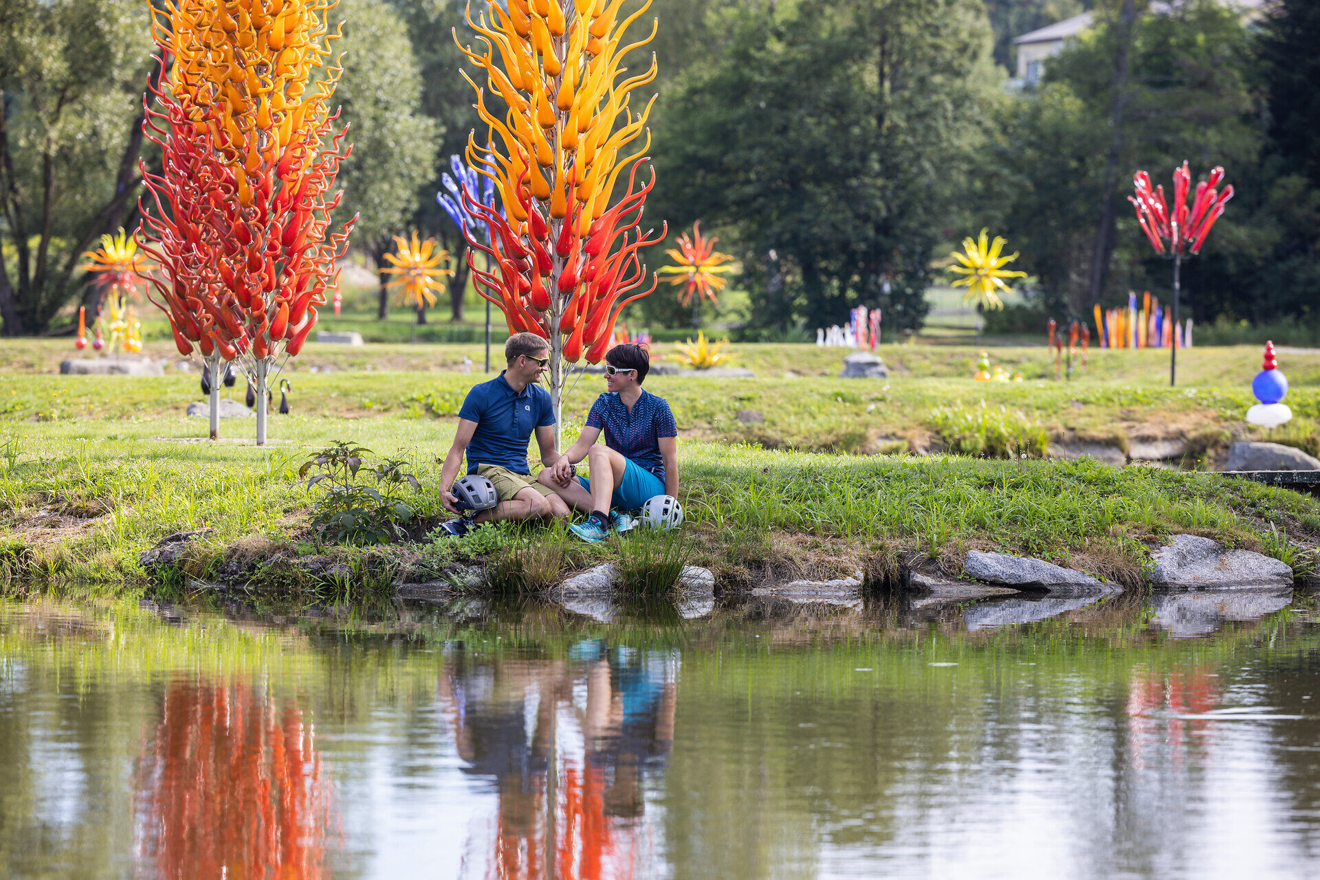
The Water Landscape Cycle Path runs through the Upper Waldviertel, between numerous ponds, dense forests and colorful flower meadows. Right at the start of the cycle tour, it becomes clear that numerous adventures await explorers with a thirst for knowledge - right from the start! The route starts in Schrems at the main square / church square. The absolute highlight in Schrems is the UnterWasserReich, which will amaze young and old alike and is located just 1.3 km off the route. Exciting stops are also waiting to be discovered along the rest of the route. For example, the Wackelstein in Amaliendorf, the Cheese Makers' World in Heidenreichstein, the Sole Felsen Bad and the Blockheide Nature Park in Gmünd or the Waldenstein graduation facility. Right up to the last possible stop at the Wald4tler Hoftheater, the Water Landscape Cycle Trail impresses with unique experiences to take home with you. True to the motto: right in the middle of it all!
Bikers particularly enjoy using the nostalgic Waldviertel Railway to explore the popular Water Landscape Cycle Trail. After you have cycled a section of the Waldviertel, you can change back to the Waldviertelbahn (between Gmünd and Litschau) at any time and cover one stage by train to enjoy the view in comfort. You don't need to worry about transporting your bike: Your bike travels with you free of charge.

Schrems (Main Square / Church Square) - Amaliendorf - Heidenreichstein - Thaures - Brand - Gmünd - Kirchberg am Walde - Hirschbach - Pürbach - Schrems (Main Square / Church Square)
The Water Landscape Cycle Route is a circular route with start and finish at the main square/church square in the Upper Waldviertel. The cycle route initially runs from Schrems via Amaliendorf to Heidenreichstein, before making a detour to Brand-Nagelberg and Gmünd. From there, it continues by bike to Waldenstein, Kirchberg am Walde and Hirschbach – and finally back to Schrems.
Although the Water Landscape Cycle Route with its approx. 85 kilometers is only recommended as a day route for experienced cyclists, it is also optimally suitable for leisure cyclists in stages. Numerous inns along the route invite you to take culinary breaks. Thanks to the possibility to divide the route into individual sections, the bike adventure can be designed freely according to individual preferences.
Vienna - A22 to Stockerau - on the B4 to Horn - on the B2 via Vitis to Schrems
Linz - A7 to Unterweitersdorf - on the S10 to Sandl exit - via the B38 to Karlstift then on the B41 to Schrems
All information about all bus and train lines to the Waldviertel can be found at www.vor.at or at www.oebb.at.
For long-term parking, public parking lots are available in Pfarrgasse, Josef-Widy-Straße, and Dr.-Karl-Renner-Straße.
Waldviertel Tourism
3910 Zwettl, Sparkassenplatz 1/2/2
(T) +43 2822 54109
(E) info@waldviertel.at
(I) www.waldviertel.at
Priljubljeni izleti v okolici
-
4.4
Teiche-Radroute (Strecke 2020) Niederösterreich
srednjaKolesarjenje 48.7 km -
3.3
Blockheiderunde
svetlobaPohodništvo 6 km -
4.7
Mythologieweg Blockheide
svetlobaPohodništvo 4.96 km -
4.3
Gmünd: Blockheide mit Wackelsteinen
svetlobaPohodništvo 8.14 km -
Naturlehrpfad Heidenreichsteiner Moor
svetlobaPohodništvo 4.56 km -
TiWaLi - Kleineibenstein, Österreich
svetlobaPohodništvo 10.5 km -
08 Eisenwurzenweg, Etappe 03: Gmünd - Nebelstein
svetlobaPohodništvo v daljavo 33.1 km -
4.0
Gmünd Blockheide
svetlobaTematska pot 8.18 km -
07 Grenzlandweg, 03. Etappe: Gmünd - Heidenreichstein
svetlobaPohodništvo v daljavo 21.7 km -
07 Grenzlandweg, 04. Etappe: Heidenreichstein - Waidhofen a. d. Thaya
svetlobaPohodništvo v daljavo 18.4 km

Pohodništvo in sledenje


Ne zamudite ponudb in navdiha za naslednje počitnice
Vaš e-poštni naslov je bil dodan na poštni seznam.