







EV13 Etappe 1: Gmünd - Litschau
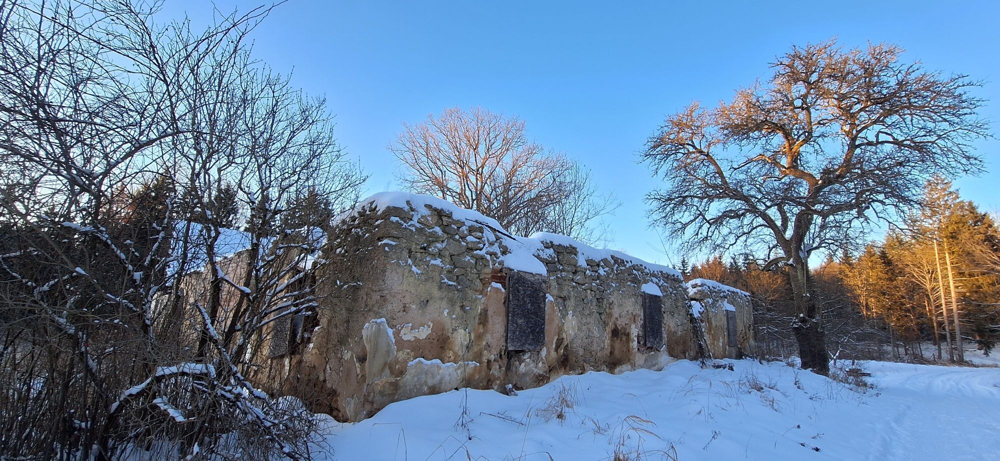
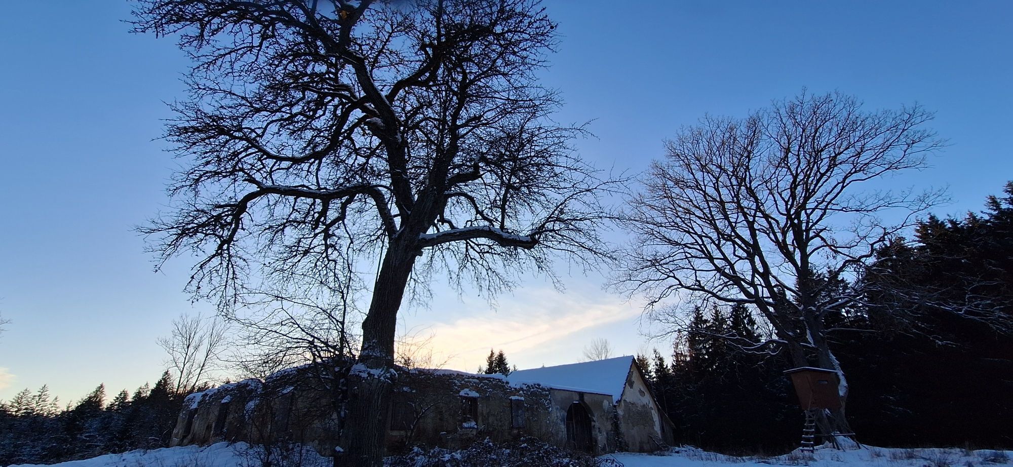
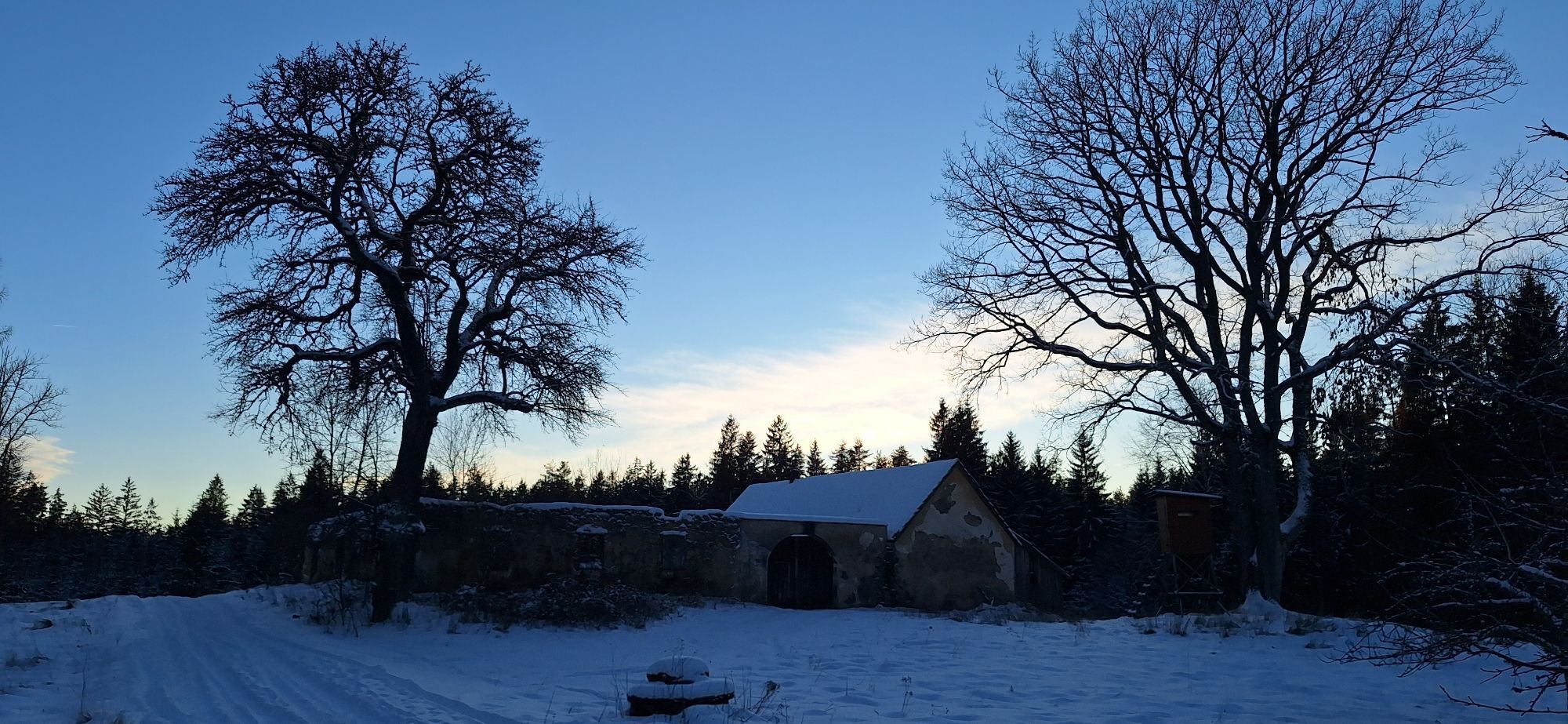
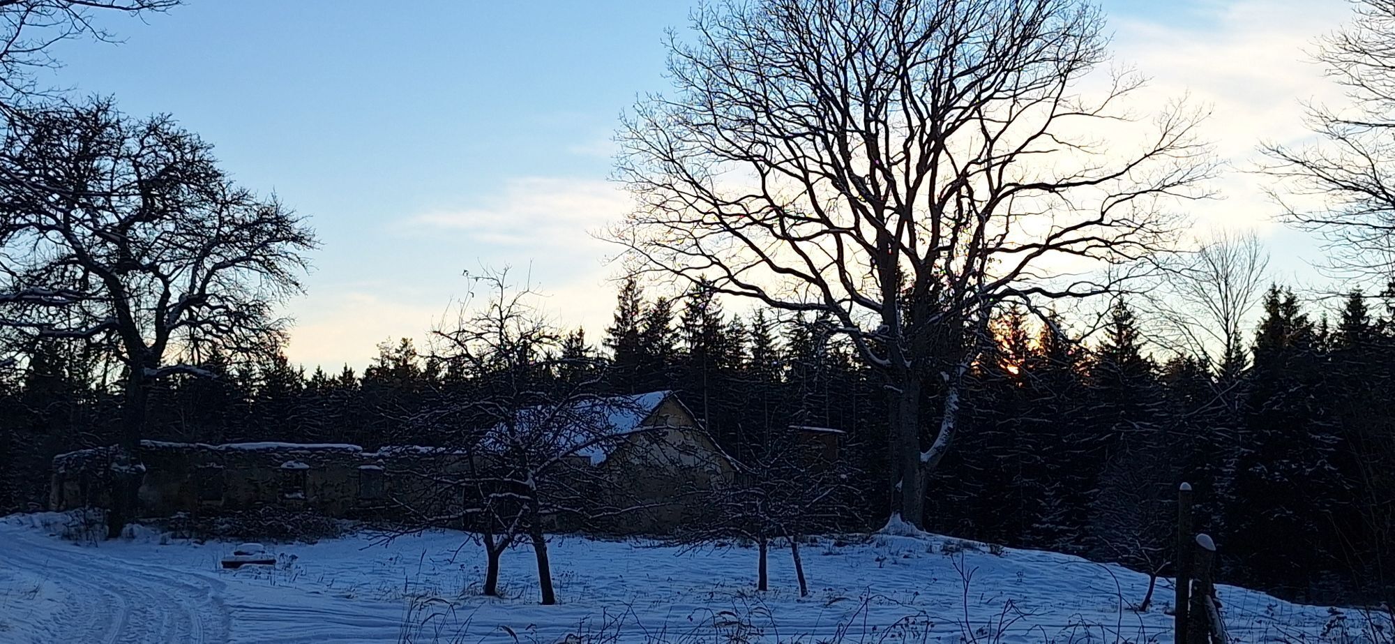
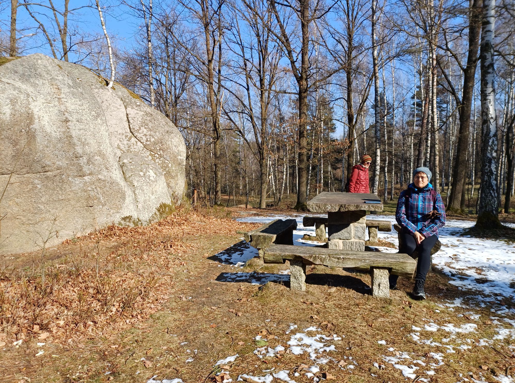
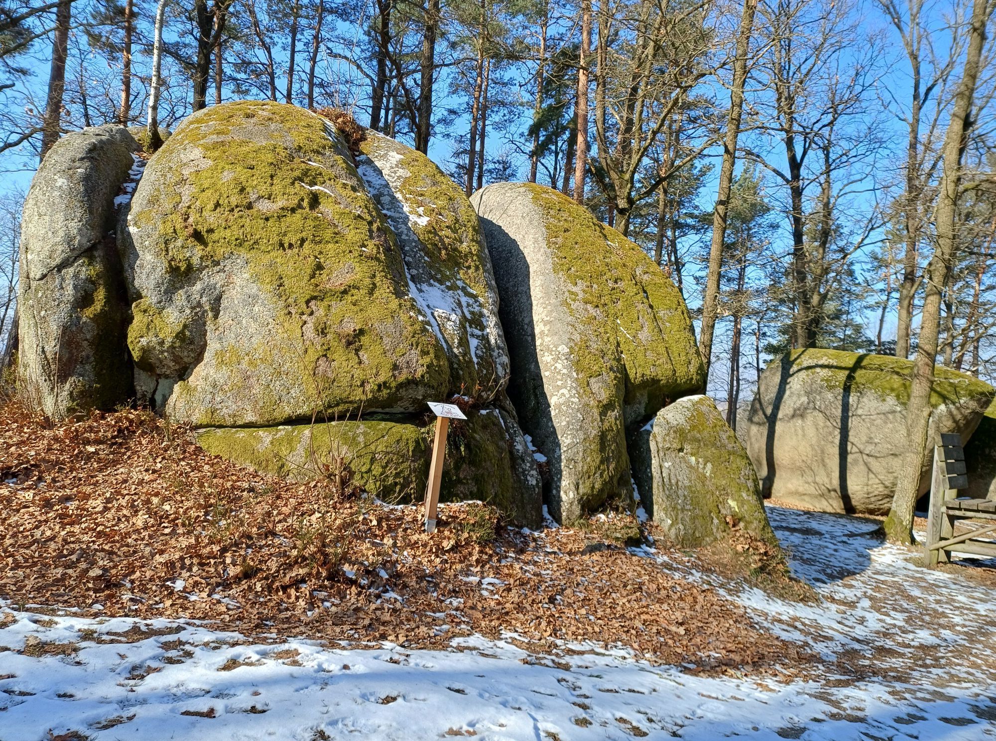
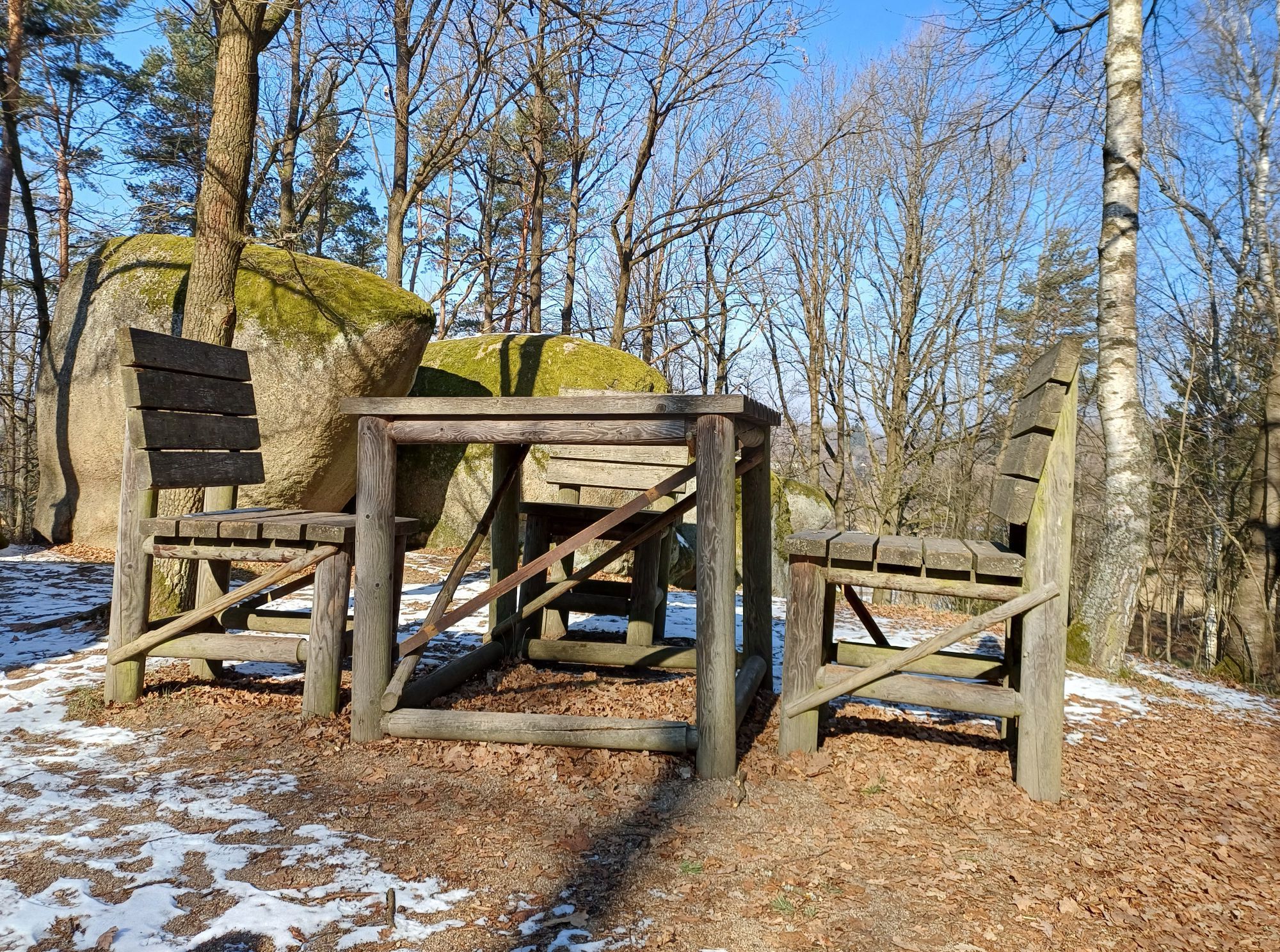
The former Kuenringer town of Gmünd presents itself to its visitors with a multifaceted offer. The Old Town Hall dominates Gmünd's town square, which offers a magnificent view of the unique sgraffito houses...
The former Kuenringer town of Gmünd presents itself to its visitors with a multifaceted offer. The Old Town Hall dominates Gmünd's town square, which offers a magnificent view of the unique sgraffito houses and a wonderful ambience for strolling and lingering. The entire town square is now a listed area. Until 1989, the Iron Curtain divided the two towns of Gmünd and Äeské Velenice. Gmünd was a divided city, similar to Berlin. Except that there was no wall between Gmünd and Ceske Velenice, but a barbed wire fence and watchtowers. The border ran through the middle of the town, sometimes even through houses, and the route leads north from Gmünd.
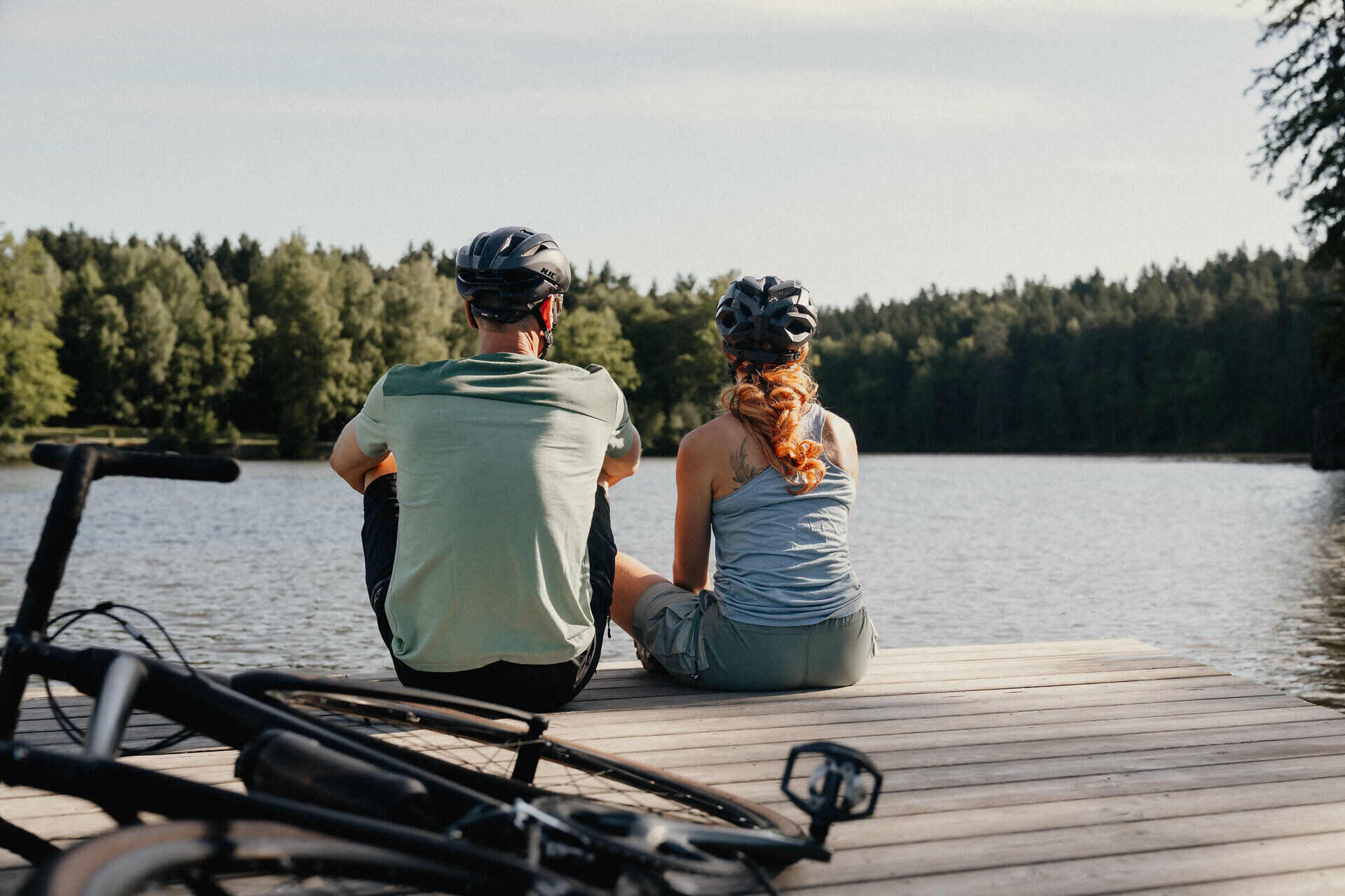
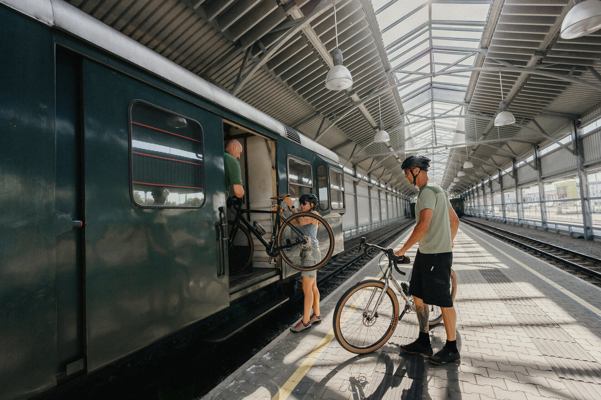
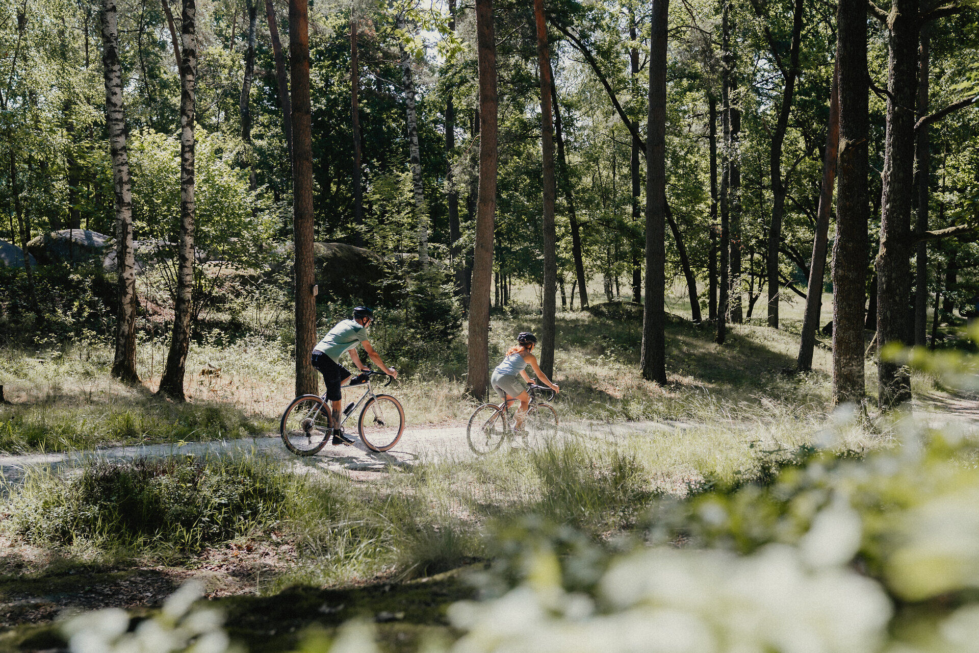

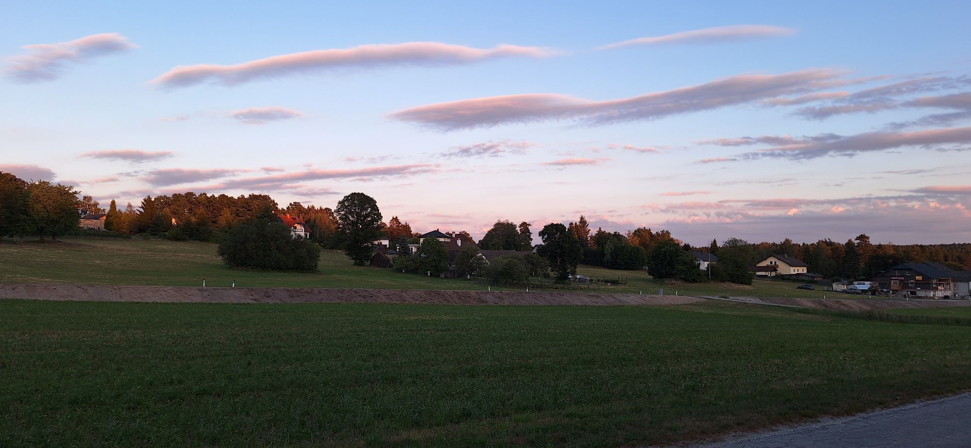
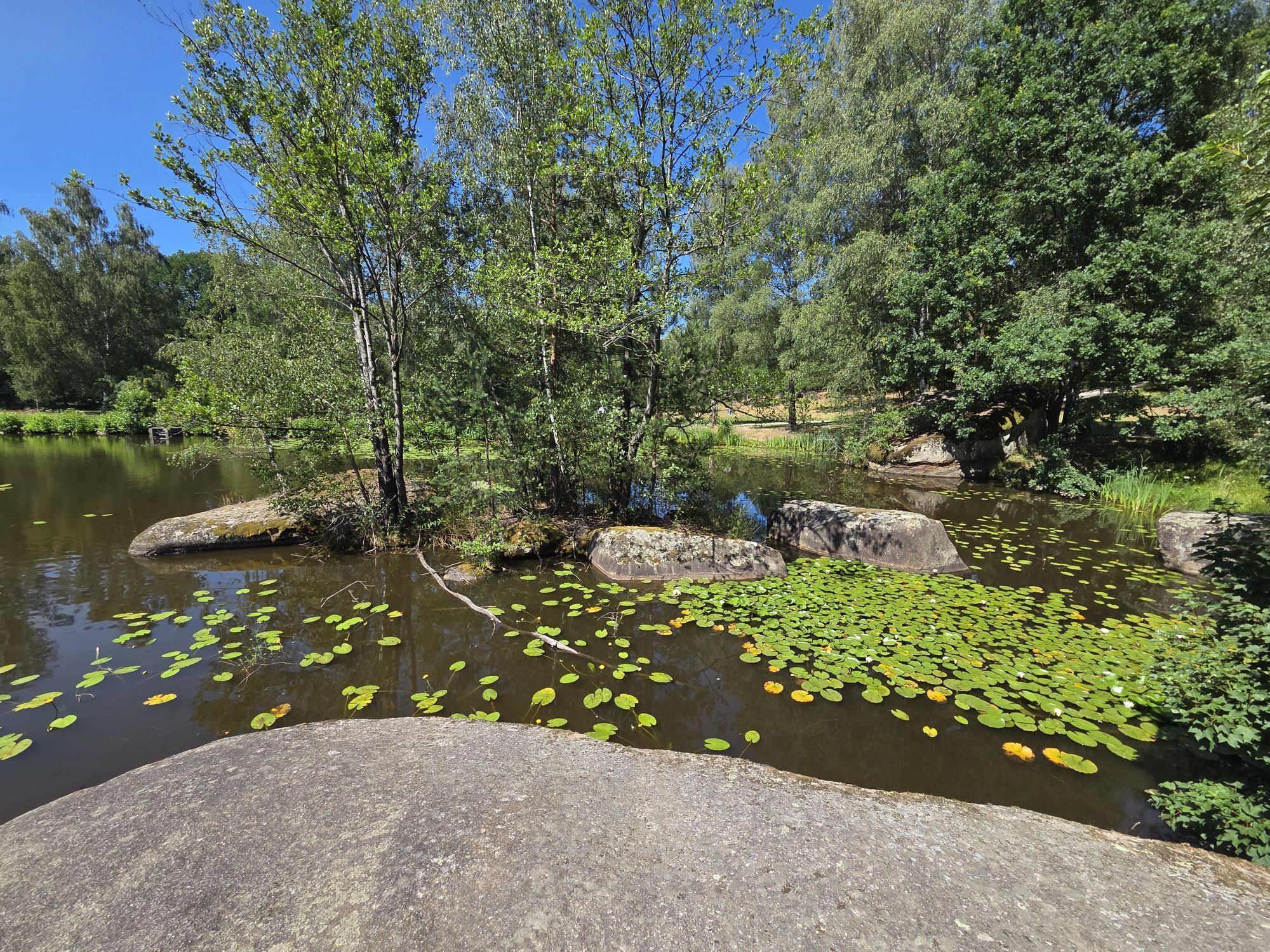
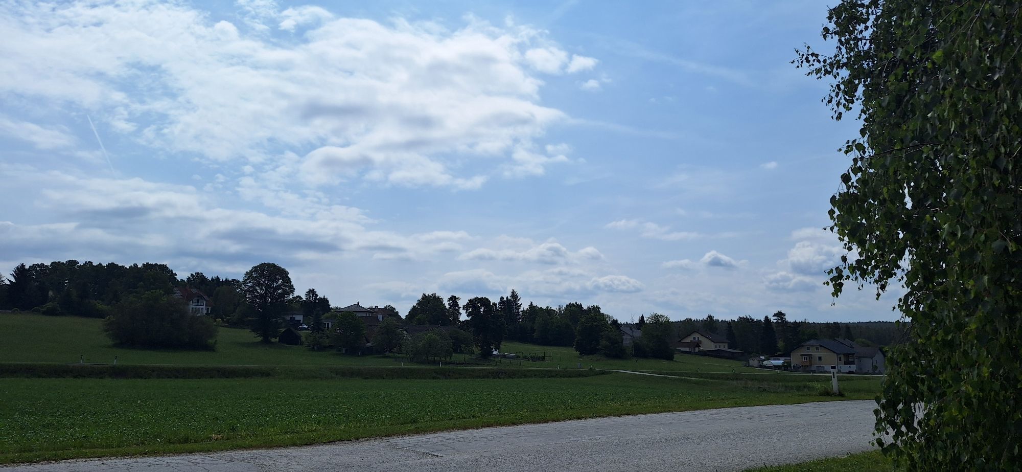
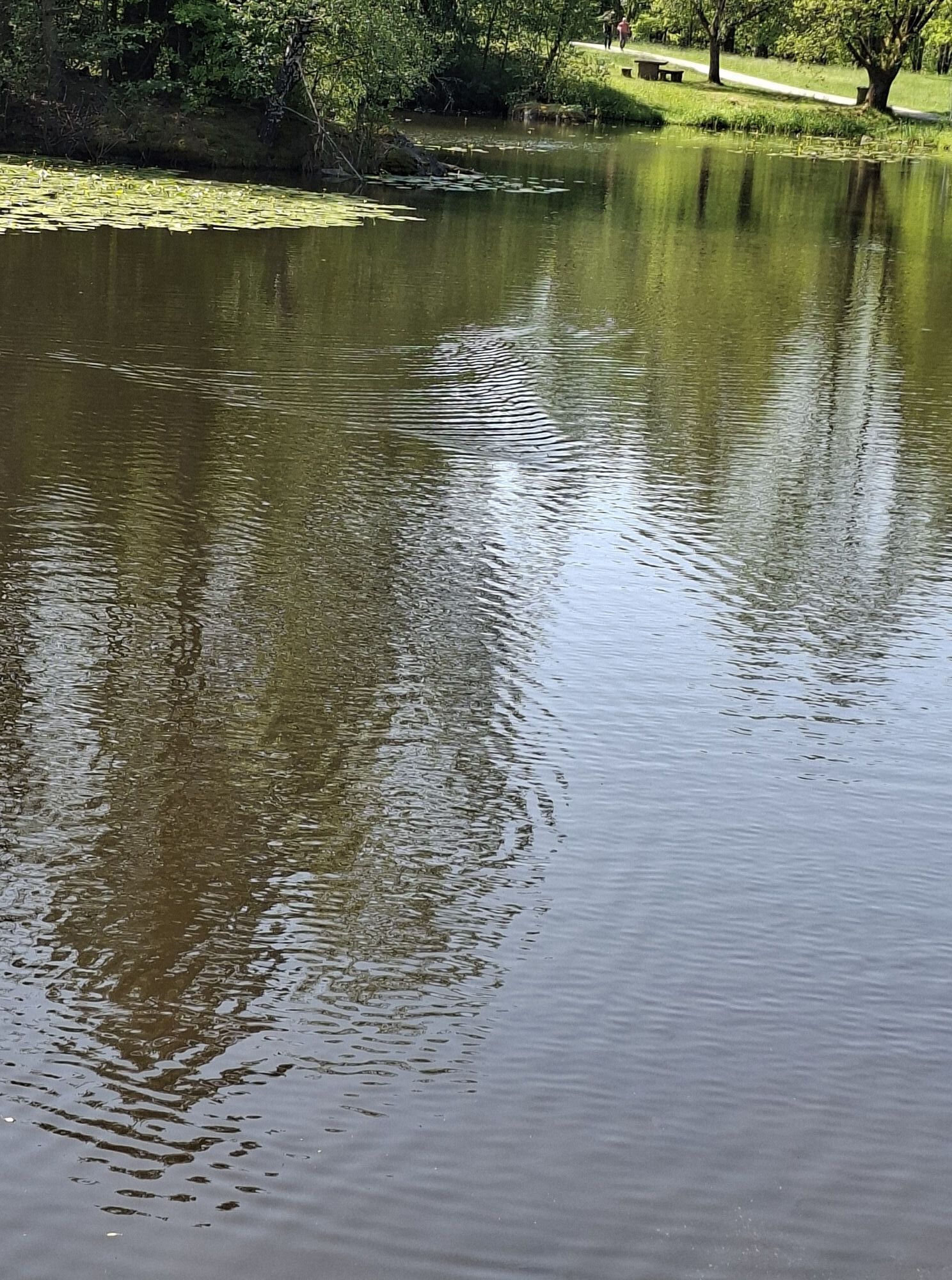
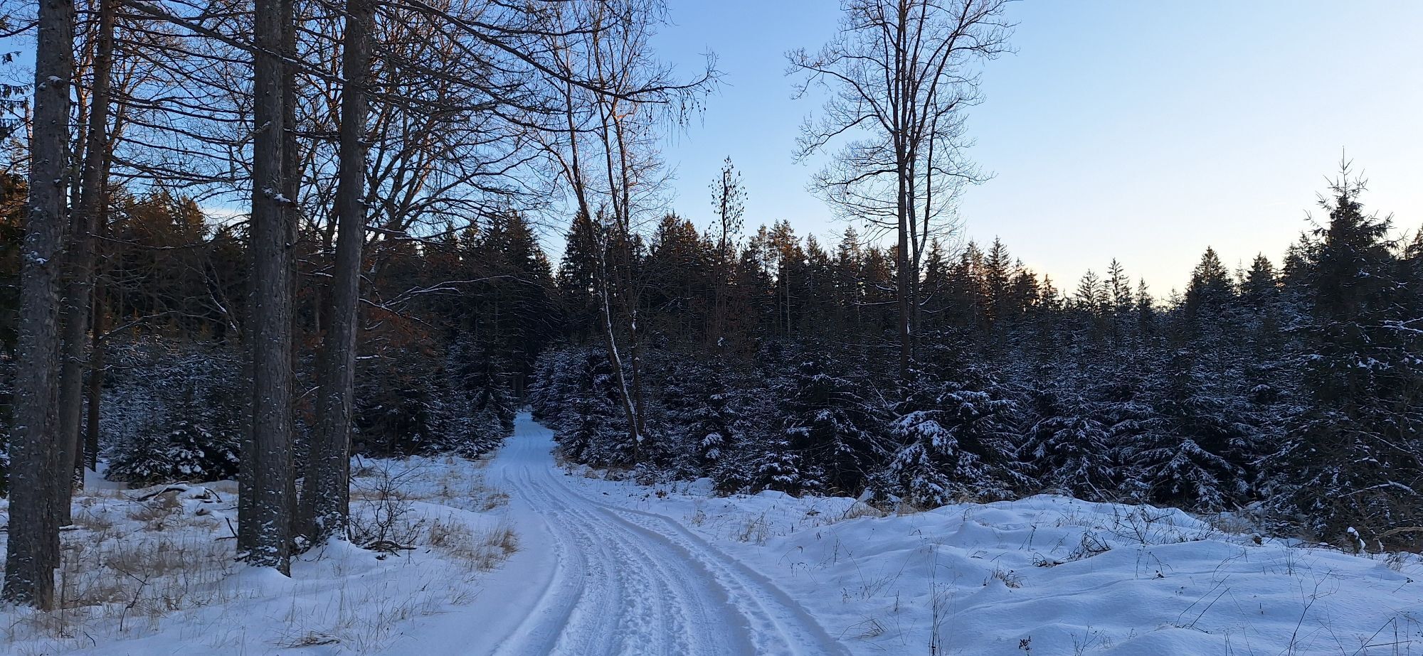
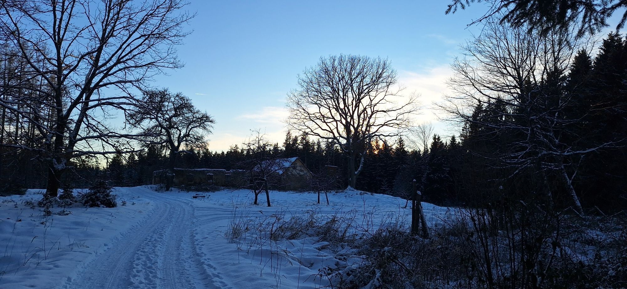
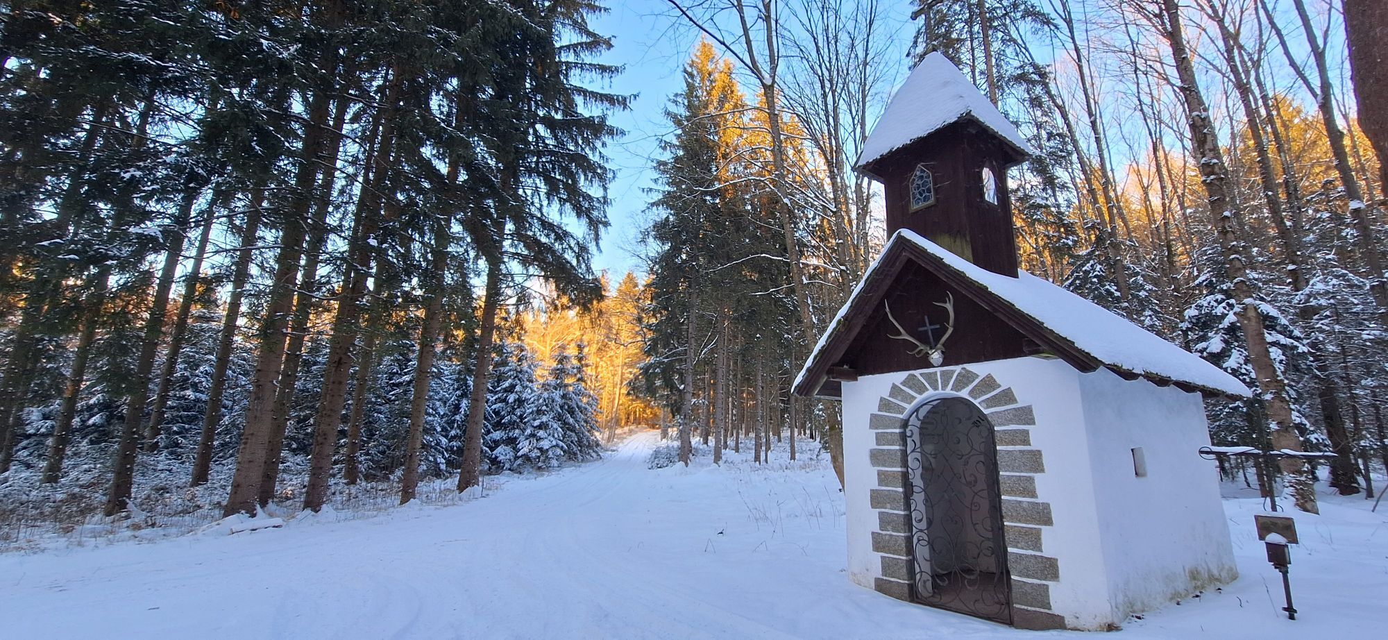
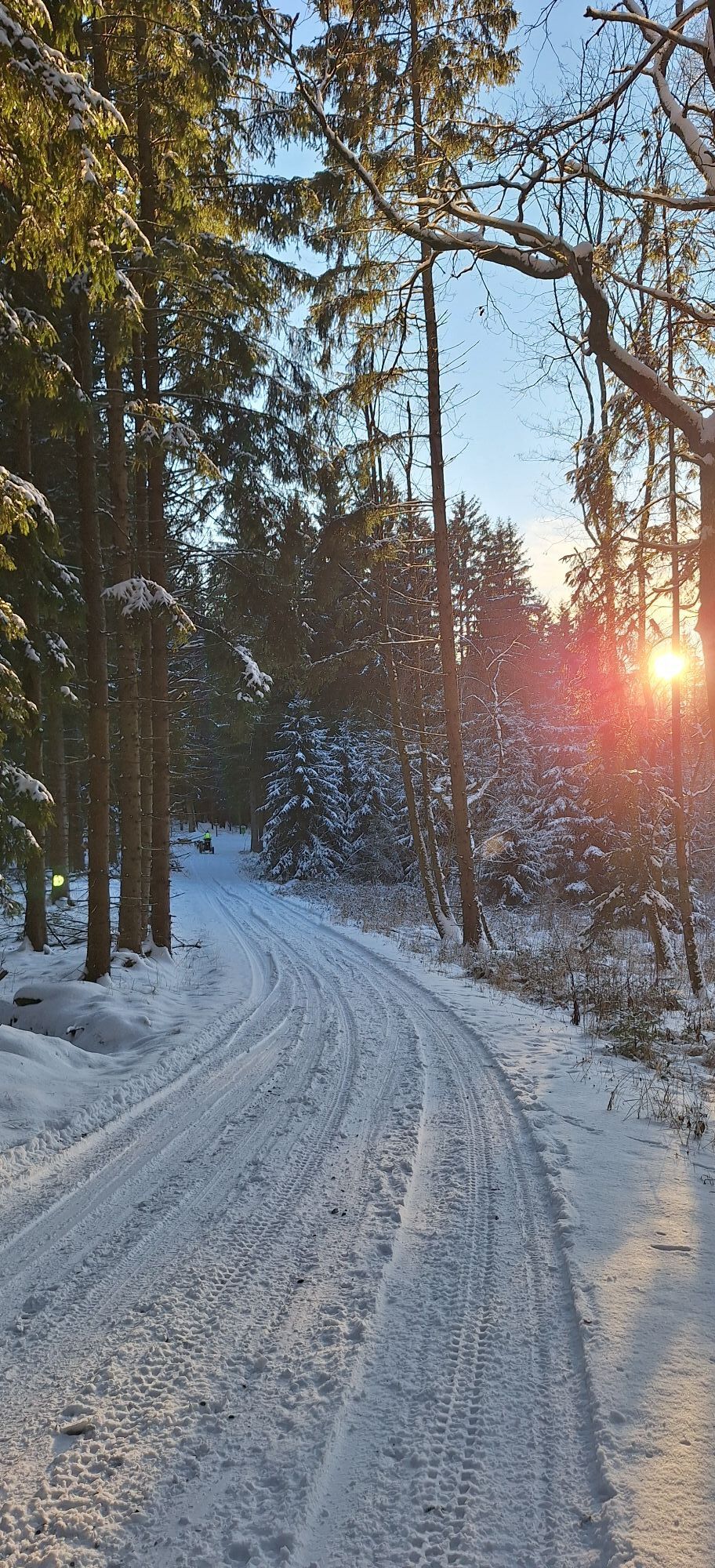
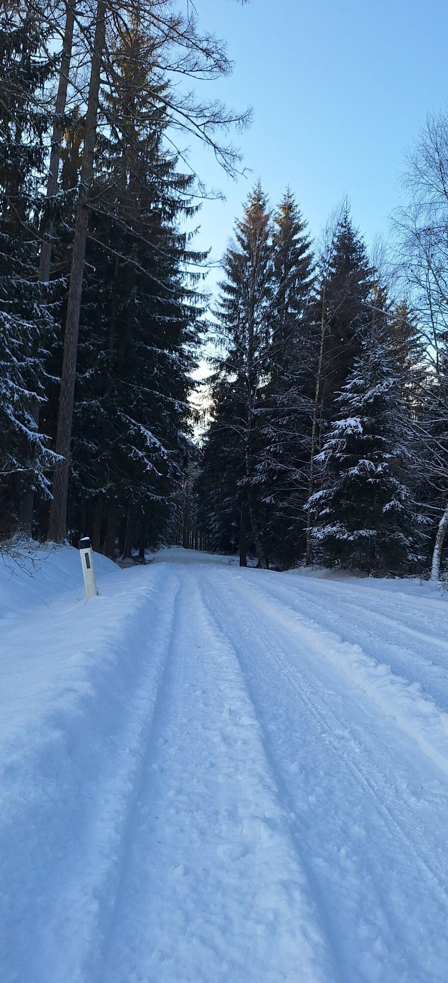
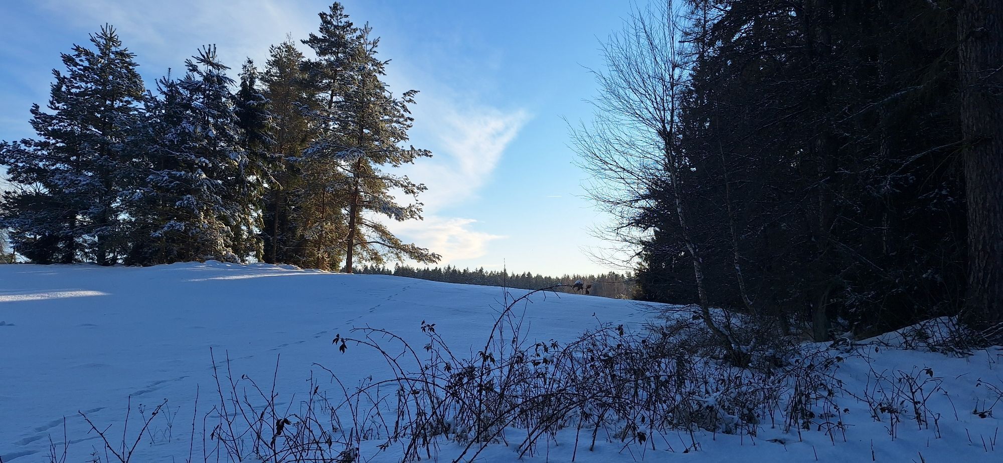
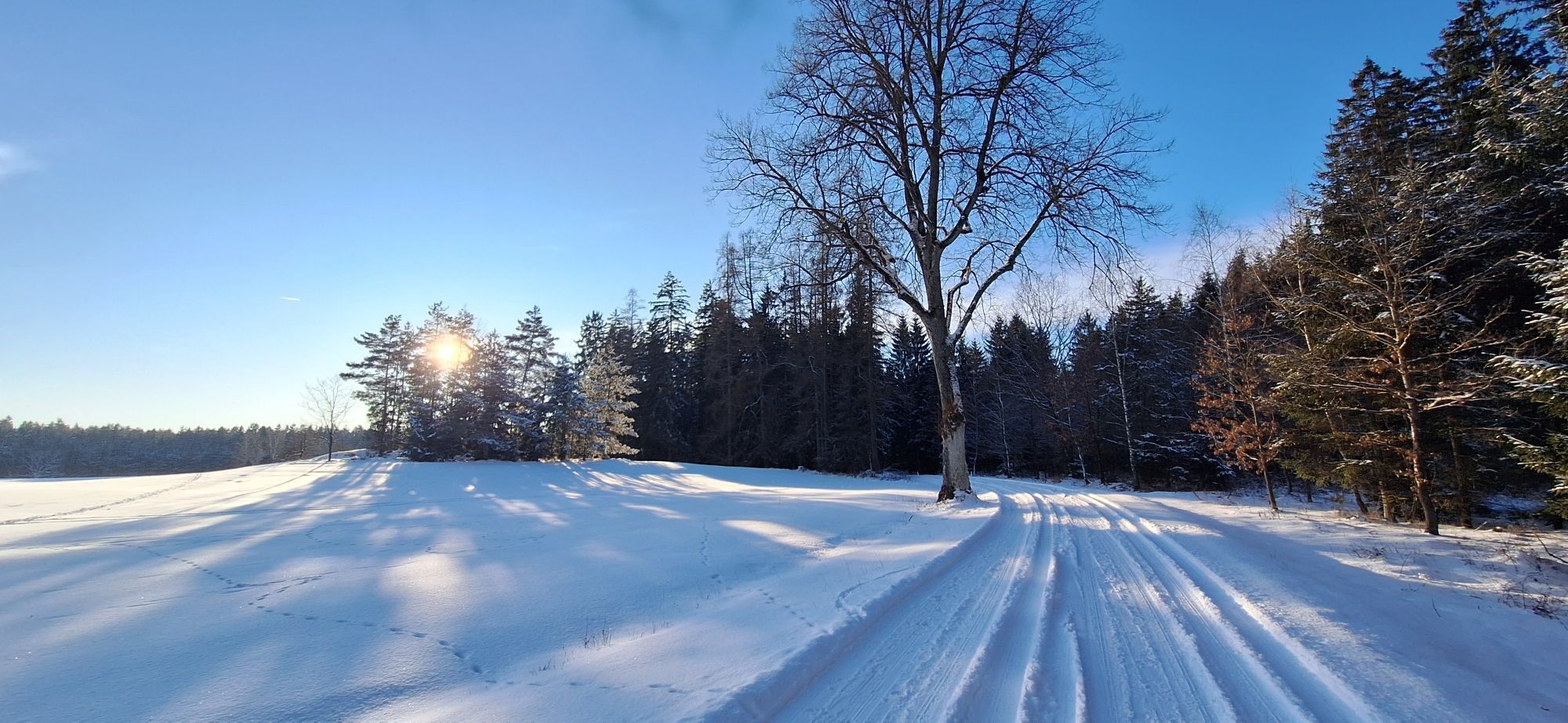
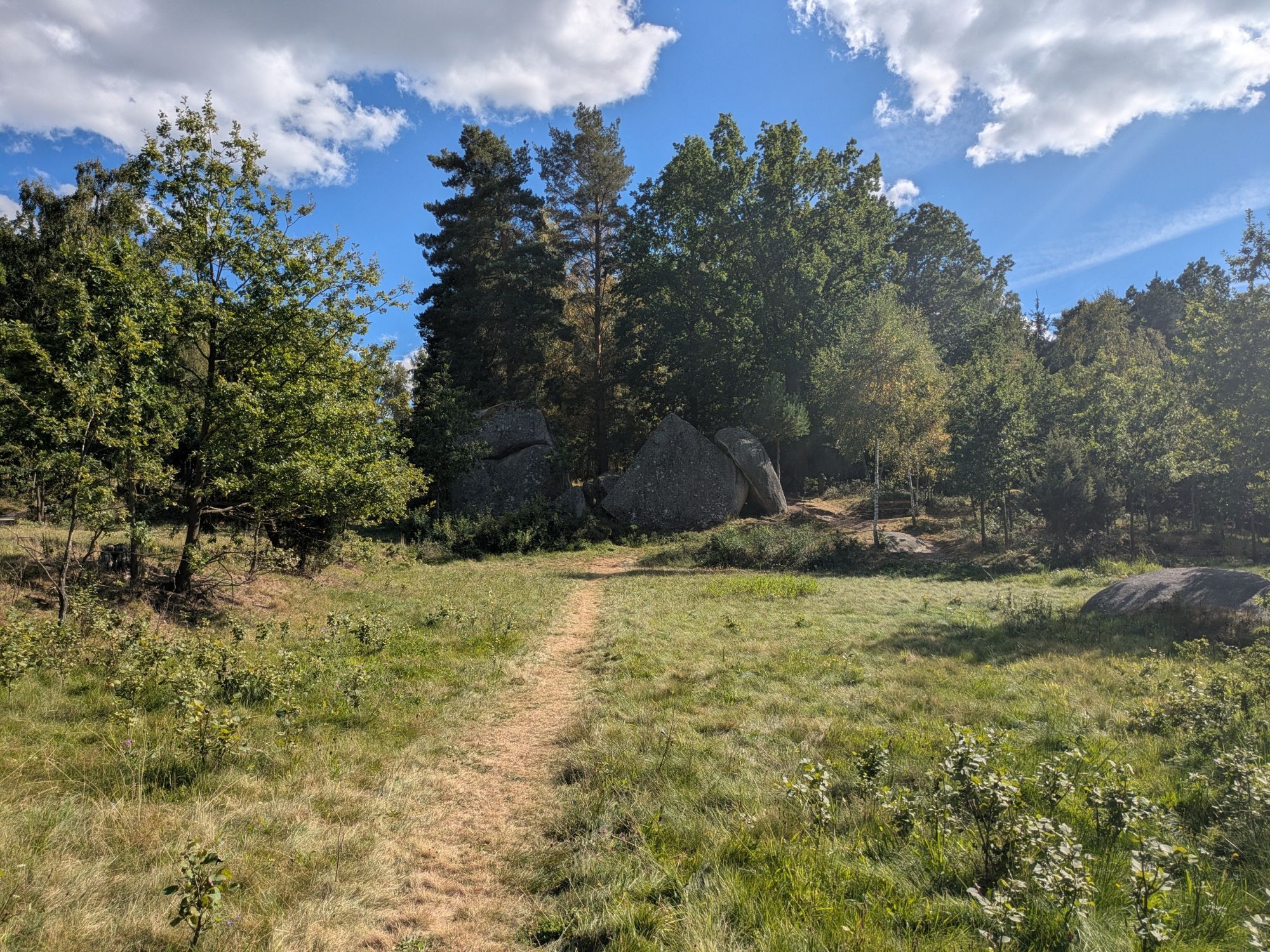
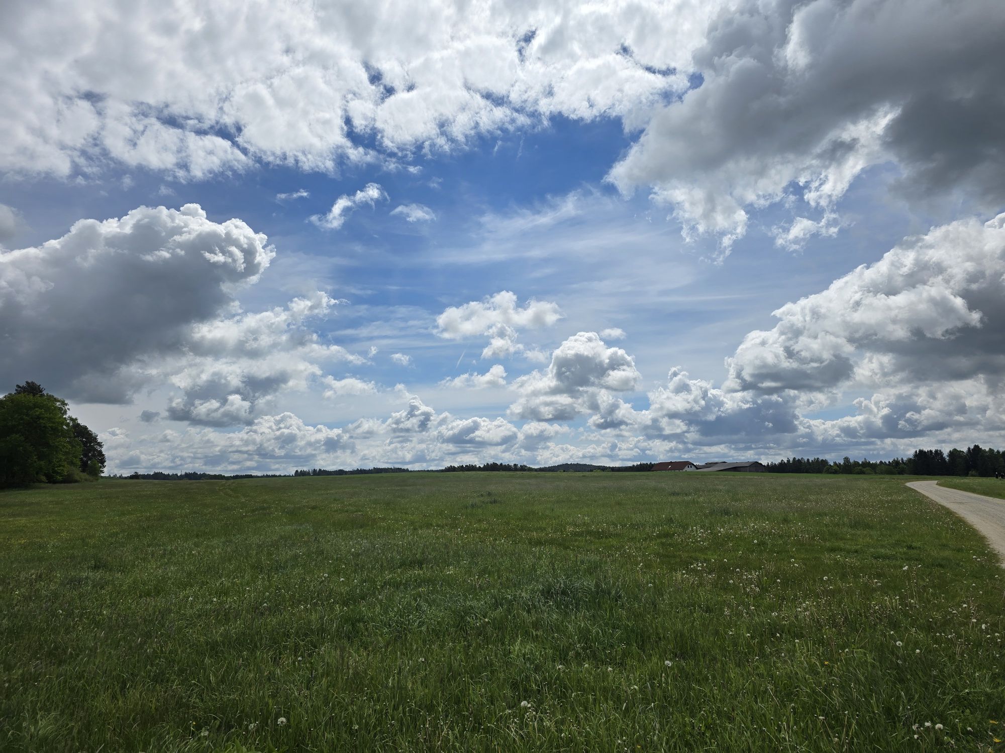
The first stage is just right for beginners, as it runs along a pleasant, flat route to Brand-Nagelberg. You’ll come across the narrow-gauge railroad tracks time and again; these lead to Litschau and are still operated by diesel locomotives in the summer between Altnagelberg and Heidenreichstein. You can then marvel at traditional craftsmanship in the glass art village of Brand-Nagelberg. Here, you can follow the journey of the glass from the furnace to the finished product. Afterward, the route—rich in forests and featuring a beautifully varied landscape—leads via Finsternau to Austria’s northernmost town, Litschau, where you can relax wonderfully after your bike ride at the Herrensee beach.
Please don't forget your passport!
Responsible for the content of this tour
Weinviertel Tourismus GmbH
Last updated: 09/05/2025

Priljubljeni izleti v okolici
- 4.4
Rund um den Herrensee in Litschau
svetlobaPohodništvo 4.65 km - 4.9
Mythologieweg Blockheide
svetlobaPohodništvo 4.96 km - 4.2
Blockheiderunde
svetlobaPohodništvo 6 km - 4.6
Gemeinde Heidenreichstein - Winkelauer Berg - Seyfrieds
svetlobaPohodništvo 7.24 km - 4.0
Gmünd Blockheide
svetlobaTematska pot 8.18 km - 4.5
Gmünd: Blockheide mit Wackelsteinen
svetlobaPohodništvo 8.14 km Naturlehrpfad Heidenreichsteiner Moor
svetlobaPohodništvo 4.56 km- 5.0
Waldweg des Naturparks Heidenreichsteiner Moor
svetlobaTek 3.79 km - 5.0
TiWaLi - Neu-Nagelberg Grenzweg, Österreich
svetlobaPohodništvo 10.7 km TiWaLi - Kleineibenstein, Österreich
svetlobaPohodništvo 10.5 km
Pohodništvo in sledenje


Ne zamudite ponudb in navdiha za naslednje počitnice
Vaš e-poštni naslov je bil dodan na poštni seznam.





