


Field and meadow route

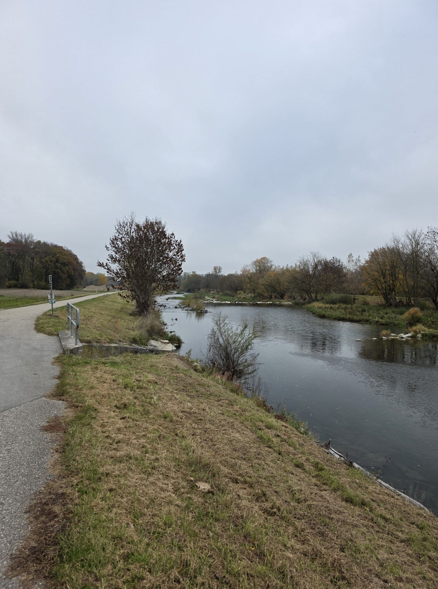

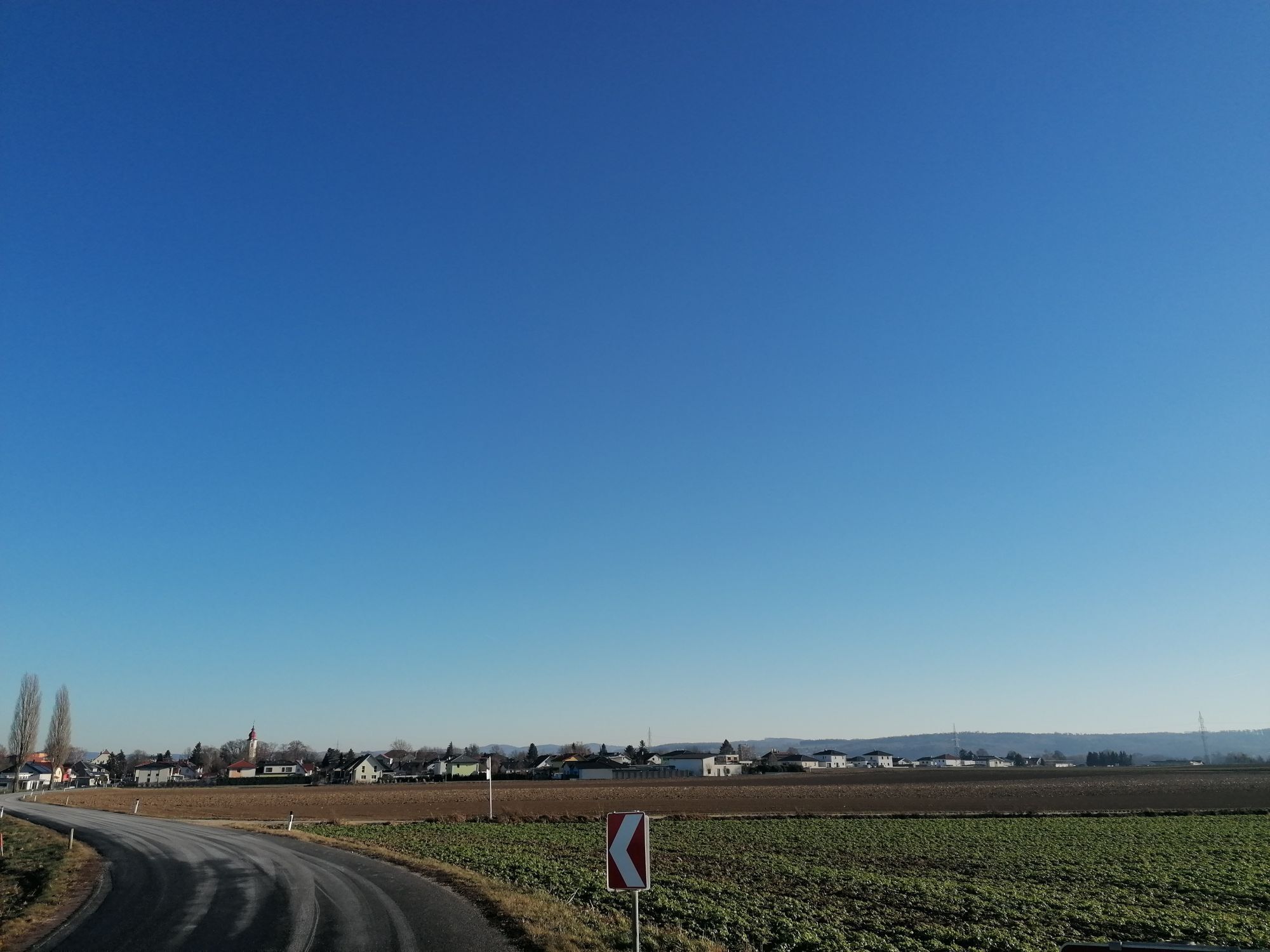
The tour combines nature, culture and culinary delights on a varied route through wide fields and rustic wine taverns. Along the way are Schloss Thalheim, the Franz Schubert Museum and finally the impressive...
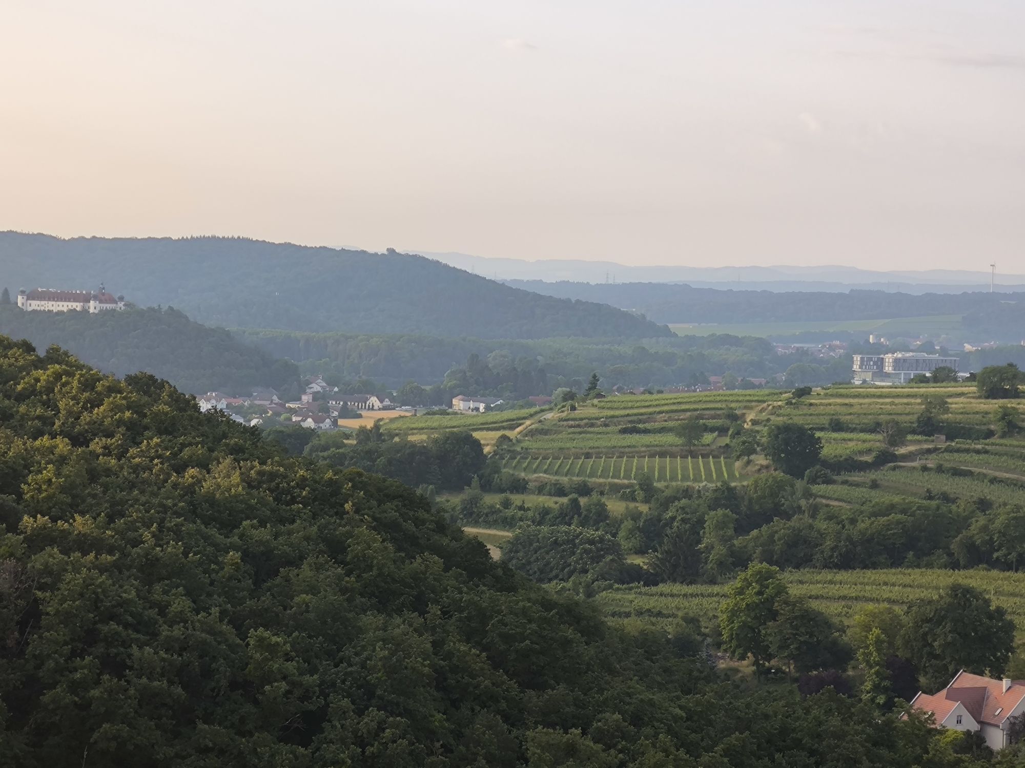
The tour combines nature, culture and culinary delights on a varied route through wide fields and rustic wine taverns. Along the way are Schloss Thalheim, the Franz Schubert Museum and finally the impressive Ahrenberg wine cellar lane with its viewing tower.

Route: St. Pölten Town Hall – Train station – Cycle path next to Westbahn – Glanzstoff footbridge – Traisental cycle path (right bank) – before Ratzersdorfer Lake turn right
– Mühlbach bridge – Ratzersdorf – Caution crossing B1 – Zwischenbrunn – on the Wienerwald cycle path 404 to Pottenbrunn station – Untergrafendorf – direction Kapelln (start gravel road) – continue on RW 404 – Thalheim Castle – after Obermoos field path – short section on state road – Würmla – north direction crossing the new Westbahn line – B1 towards Vienna – Hankenfeld – turn to Weinzierl – Atzenbrugg Castle – back to the intersection – turn right – Heiligeneich – Hütteldorf – Hasendorf – Eggendorf – Reidling – Sitzenberg Castle (HBLA) – Ahrenberg (cellar lane) – Traismauer – Oberndorf – Einöd – St. Andrä, turn to the Traisental cycle path – Viehofner Lakes – Wagram footbridge – St. Pölten Town Hall.
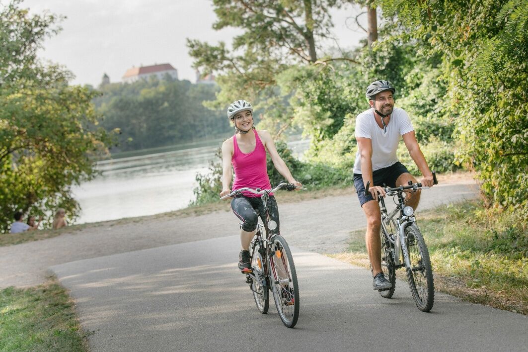
No special requirements for the bikes. Helmets are mandatory for children under 12 years.
Please observe the traffic regulations! Groups with children are advised to dismount and push their bikes together when crossing streets.
West Motorway A1, exit St. Pölten South/East
Arrival by bus or train to St. Pölten Main Station possible.
Underground garage Radhausplatz / Karmeliterhof parking garage
Responsible for the content of this tour
St. Pölten Tourist Information
Rathausplatz 1, 3100 St. Pölten
Tel: +43 2742 333 5000 E-mail: tourismus@st-poelten.gv.at
www.stpoeltentourismus.at/radfahren
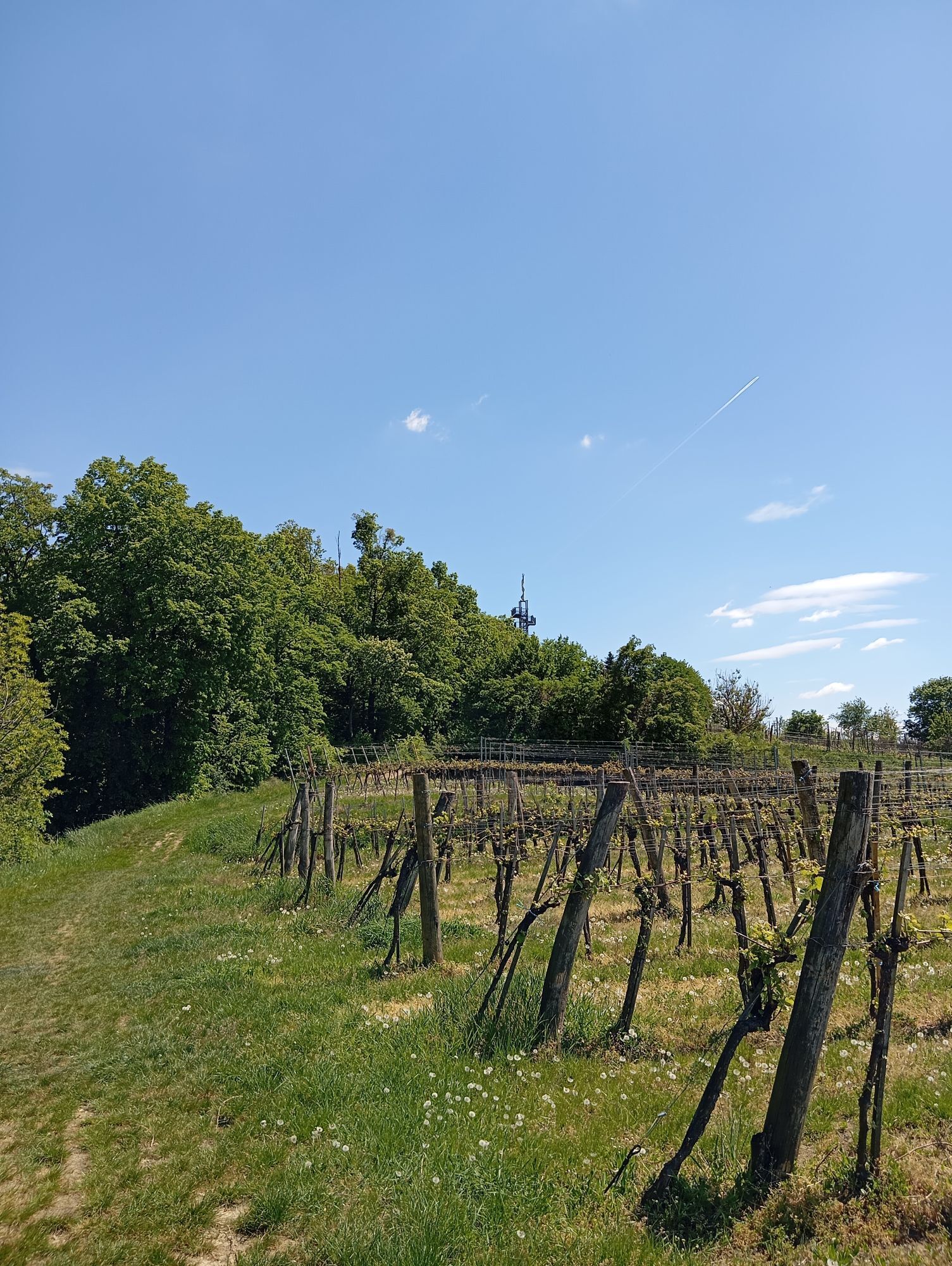
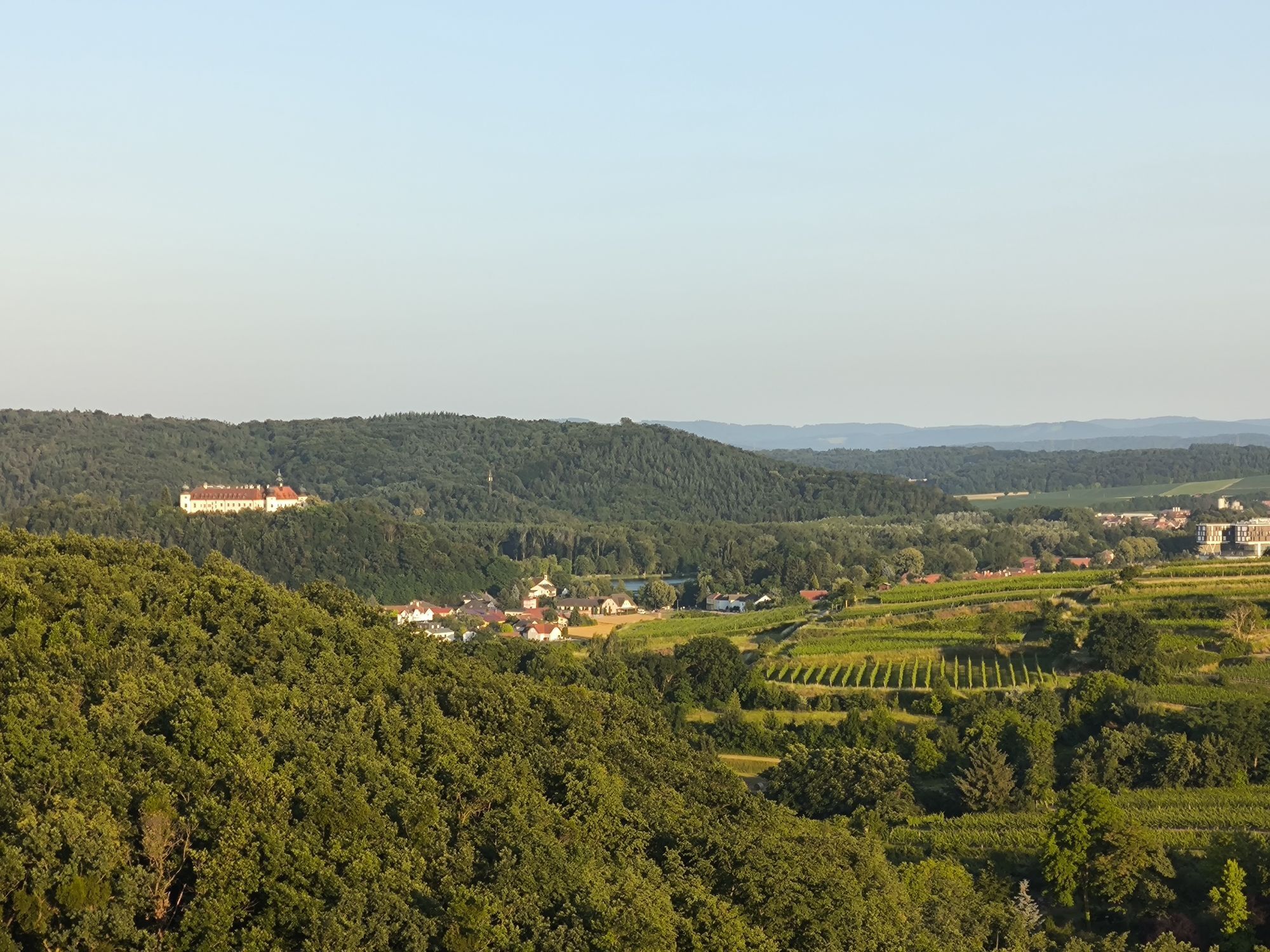
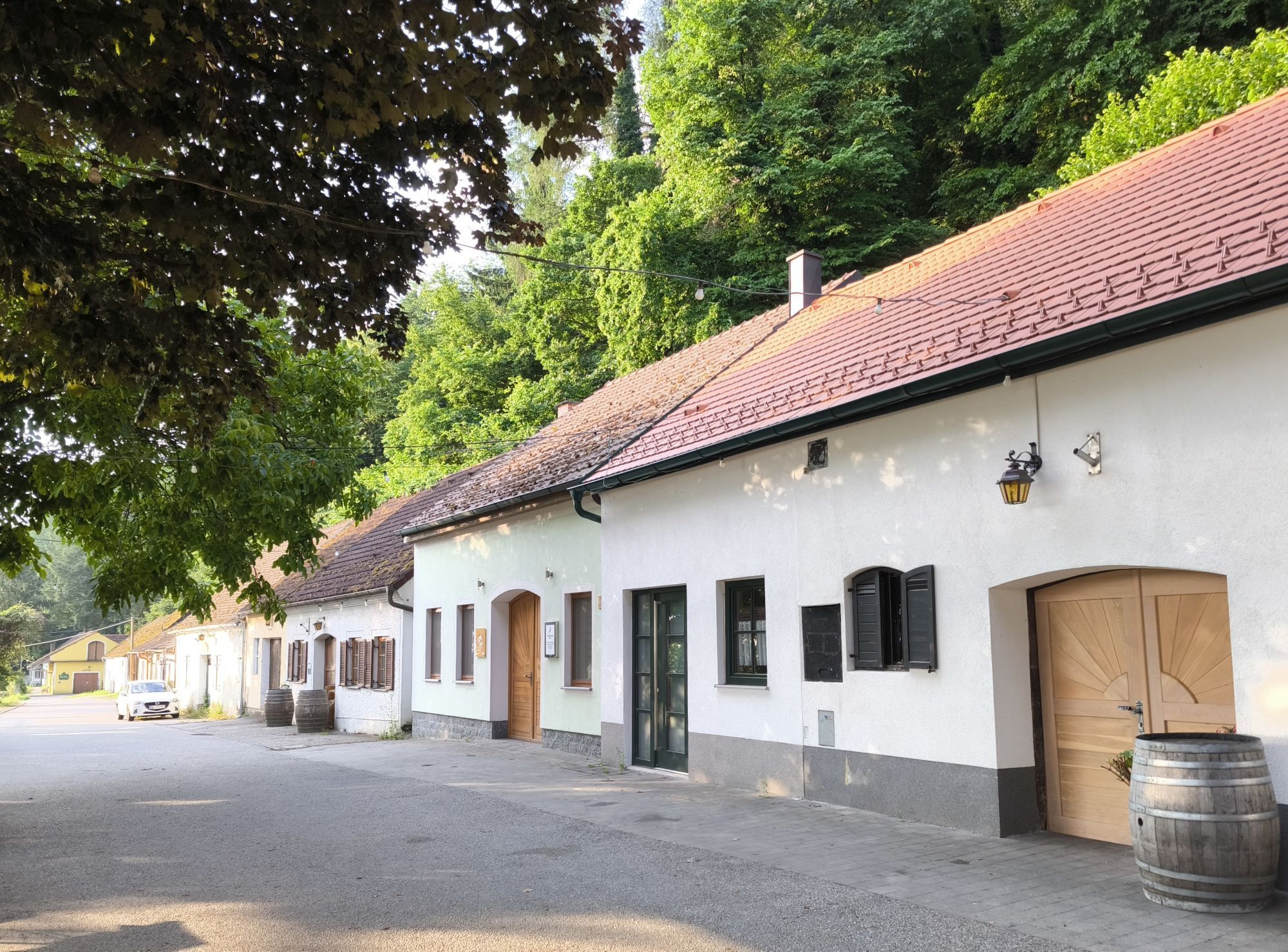
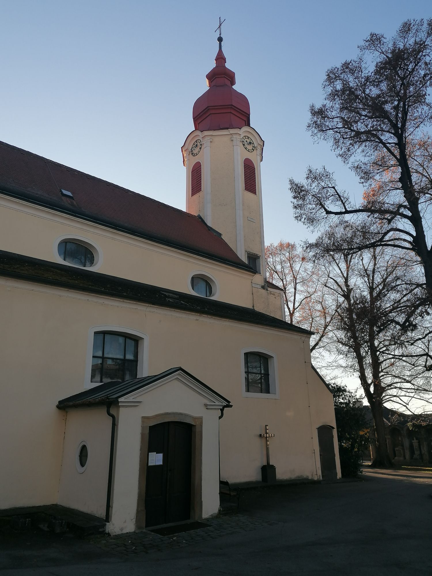
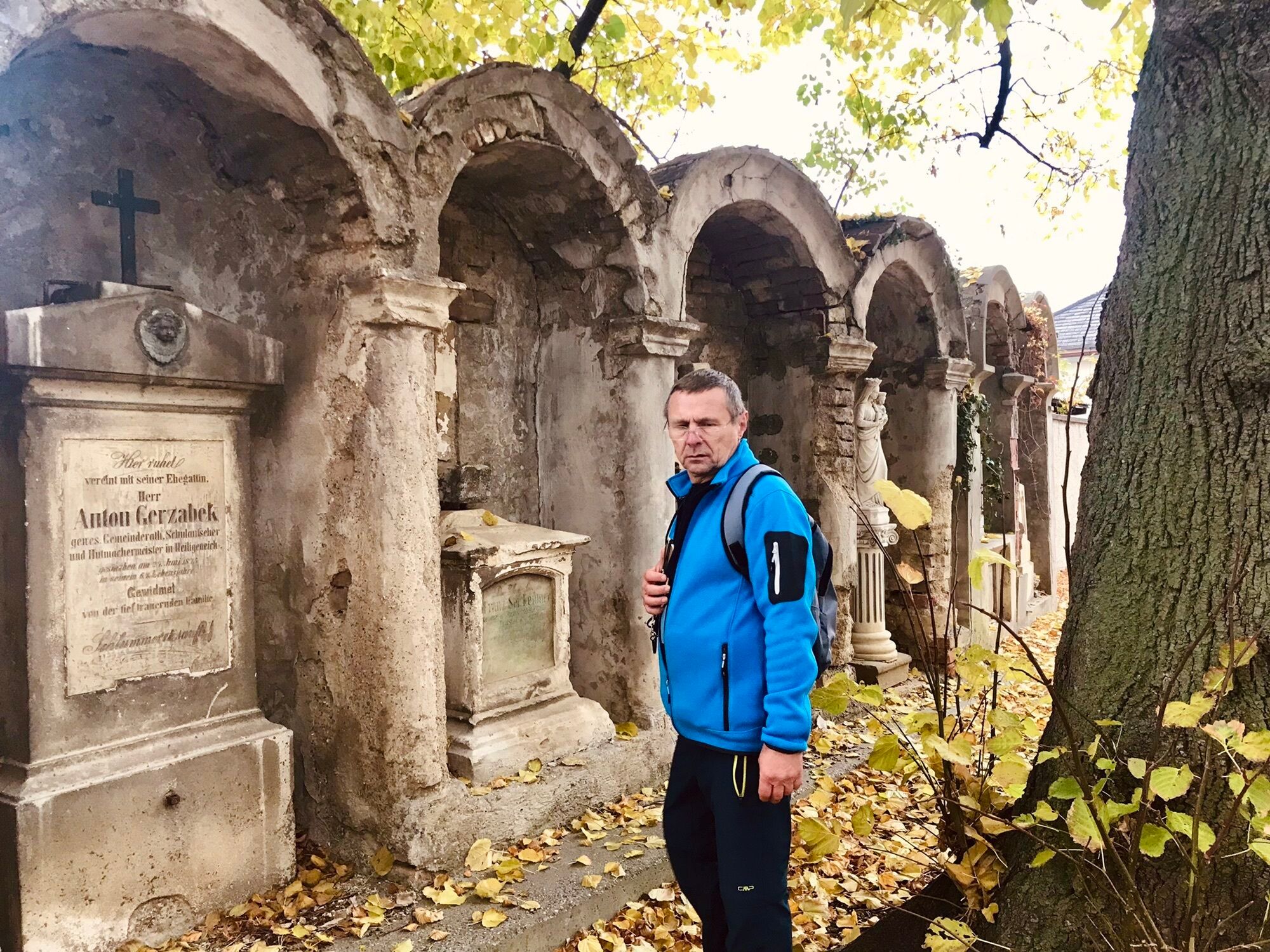
Along the way: Thalheim Castle, Atzenbrugg Castle with Franz Schubert Museum, Sitzenberg castle pond, Ahrenberg cellar lane with observation tower, St. Pölten 3-lakes experience, numerous wine taverns and gastronomy establishments.
Priljubljeni izleti v okolici
- 4,4
Wachauer Marillenerlebnisweg, Krems-Angern
svetlobaPohodništvo 6,04 km - 4,4
Hegerberg
svetlobaPohodništvo 8,06 km - 3,9
Über den Göttweiger Walderlebnisweg zu den Mammutbäumen
svetlobaPohodništvo 3,77 km - 4,8
Übers "Loamstückl" zur Wetterkreuzkirche
svetlobaPohodništvo 6,83 km - 4,8
Circular hike to Buchberg lookout
svetlobaPohodništvo 9,24 km - 4,2
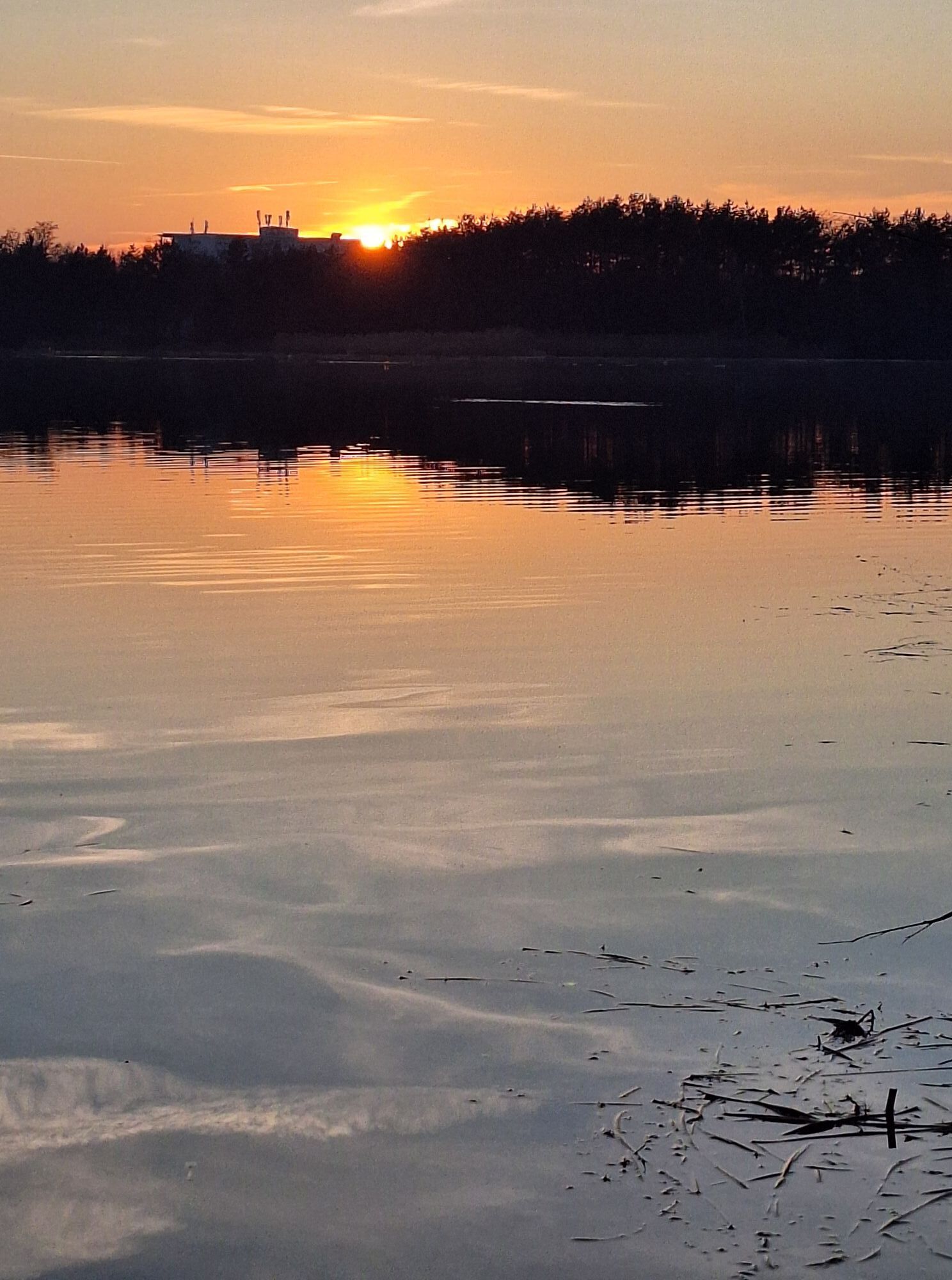
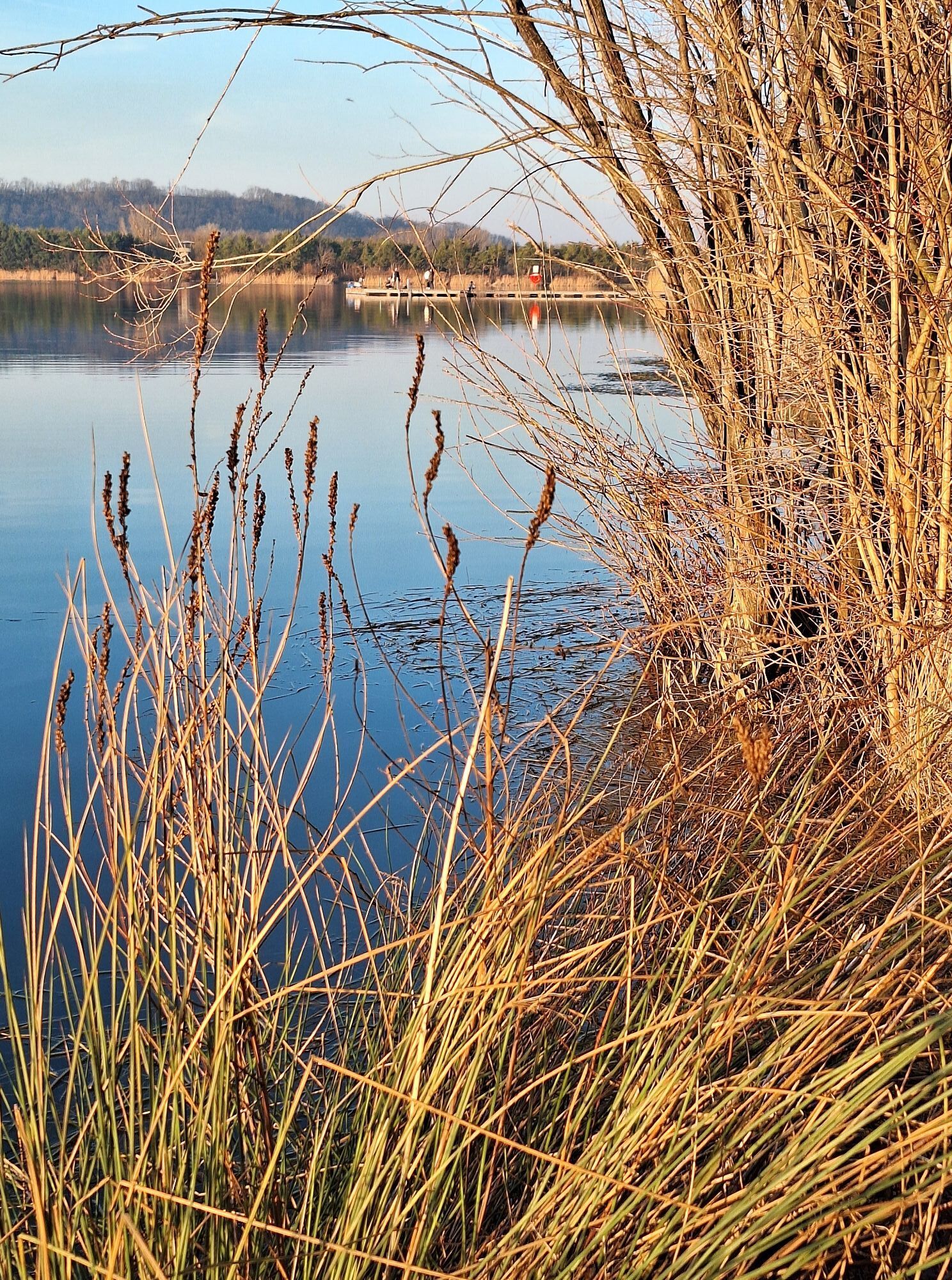
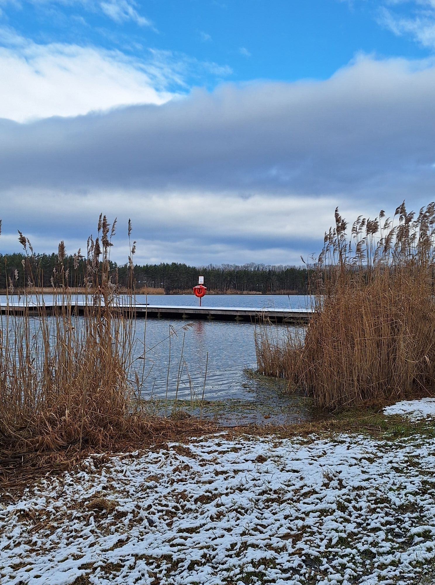
Drei-Seen-Runde St. Pölten
svetlobaPohodništvo 5,02 km - 4,9
Traisental MTB Potpourri
srednjaMountainbike 27,9 km - 4,3
Über Sitzenberg-Reidling: Seelacke-Korkenzieher-Weinberge
srednjaPohodništvo 11,1 km - 4,5
Wein - Schloss - Marille - Stiftblick
svetlobaPohodništvo 5,26 km - 4,3
Wagramer Genussmix
svetlobaPohodništvo 10,1 km
Pohodništvo in sledenje


Ne zamudite ponudb in navdiha za naslednje počitnice
Vaš e-poštni naslov je bil dodan na poštni seznam.