


Via Sacra: Stage 3/4: Hainfeld - Traisen - Türnitz
Fotografije naših uporabnikov
-
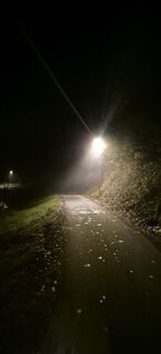
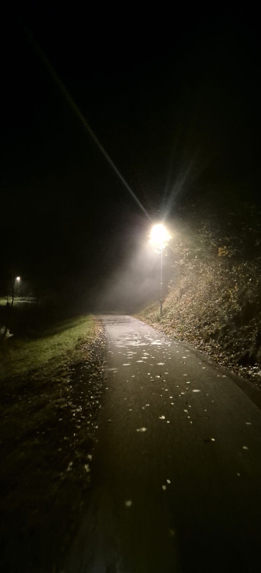
 © MoonytigerUstvarjeno na 13.03.2026
 -
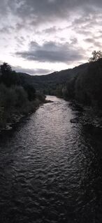
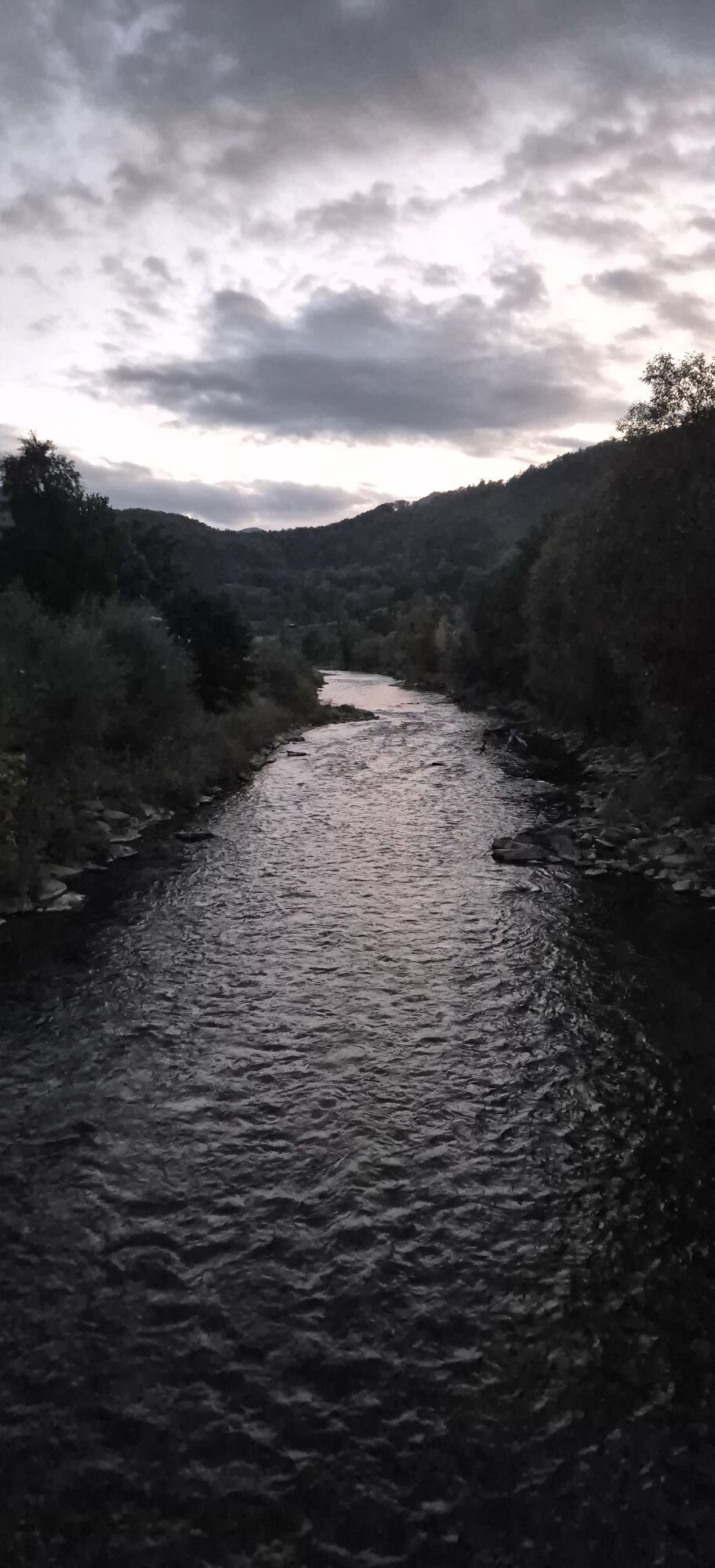
 © Martin1967Ustvarjeno na 07.03.2026
 -
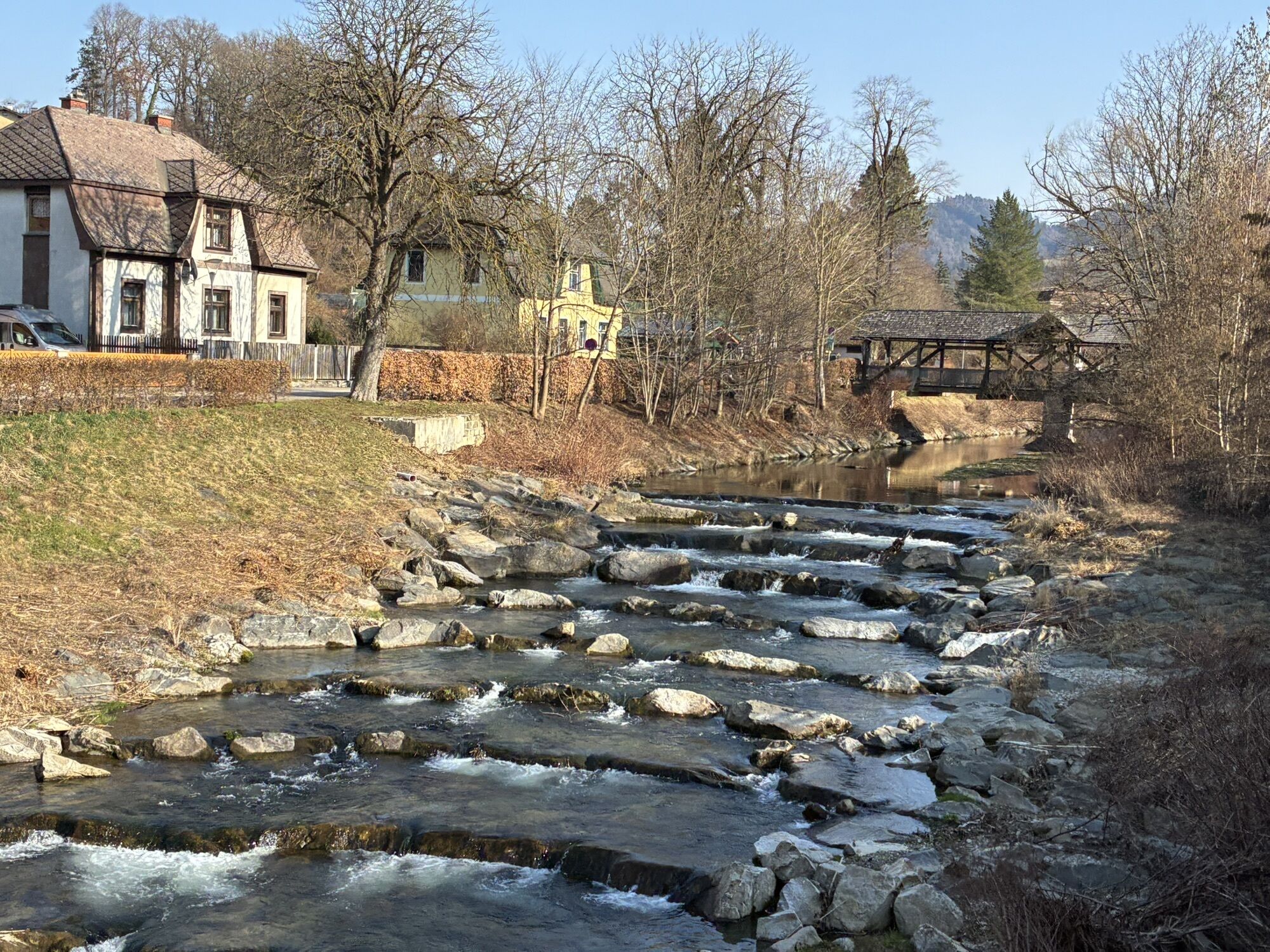
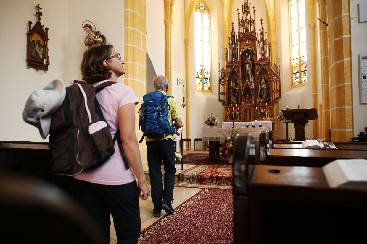
 © Martin1967Ustvarjeno na 07.03.2026
 -
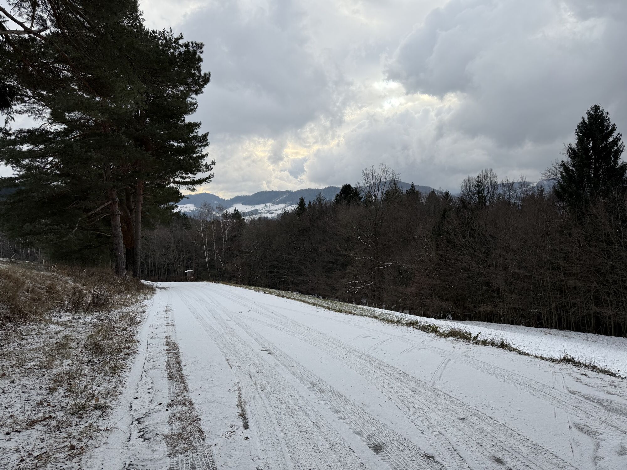
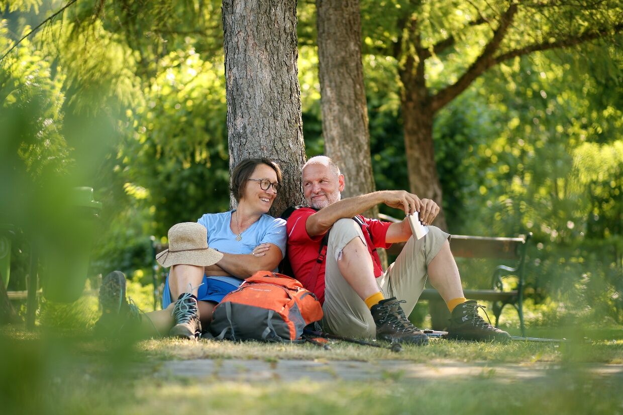
 © Martin1967Ustvarjeno na 07.03.2026
 -
 © helfUstvarjeno na 25.02.2026
 -
 © Peter Szlavik 1Ustvarjeno na 30.12.2025
 -
 © Elisabeth Ebner 1Ustvarjeno na 16.07.2025
 -
 © Wing WalterUstvarjeno na 25.01.2026
 -
 © Hari SchrittwieserUstvarjeno na 10.11.2025
 -
 © Hari SchrittwieserUstvarjeno na 29.09.2025


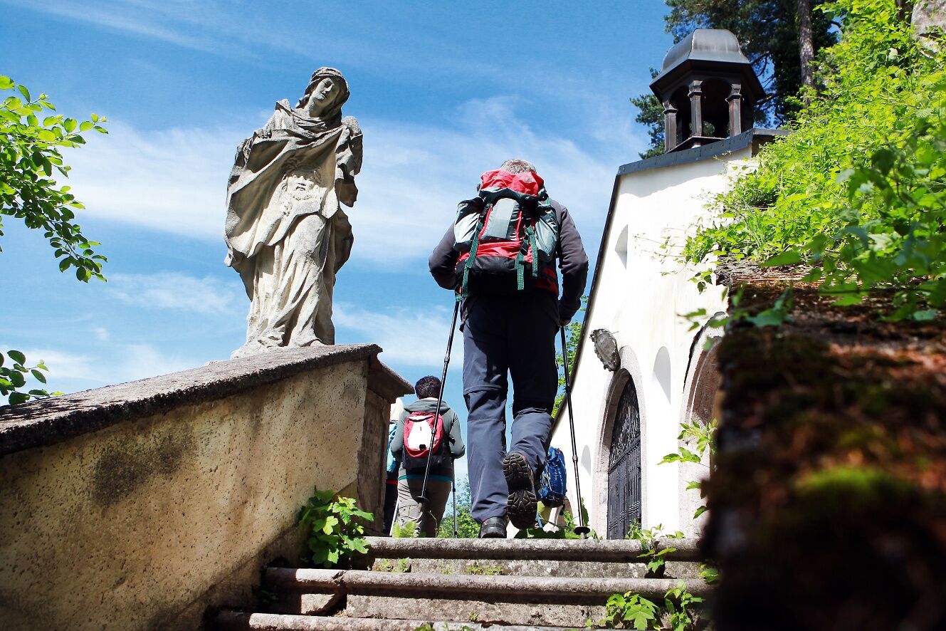
From Hainfeld, the route leads through the forest to Rohrbach and then along the Gölsen to St. Veit, where you can visit the "Cathedral of the Gölsental" (03:00 h). The historic and flatter variant runs...
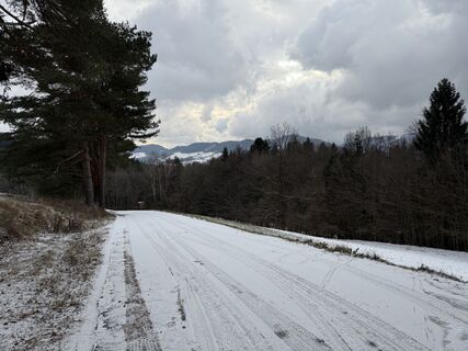
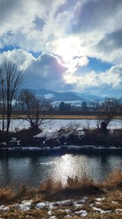
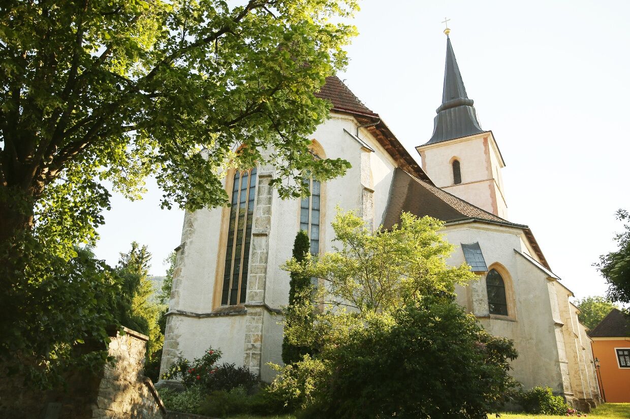
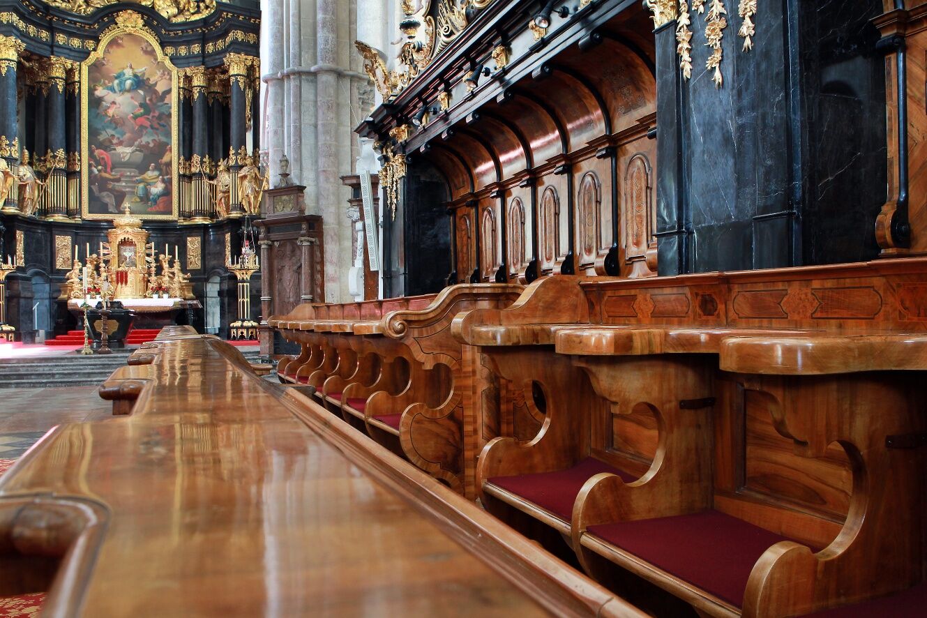
From Hainfeld, the route leads through the forest to Rohrbach and then along the Gölsen to St. Veit, where you can visit the "Cathedral of the Gölsental" (03:00 h). The historic and flatter variant runs through the valley and leads along the Gölsental cycle path to Traisen, whose church "St. Johann an der Traisen" dates back to the 12th century and is the oldest church in the deanery of Lilienfeld (01:45 h). From Traisen, the route continues along the Traisental cycle route past Marktl with its industrial plants to Lilienfeld (01:15 h). It is worth visiting the Cistercian monastery in Lilienfeld, which has been an important stopover on the Via Sacra since the beginning of the pilgrimage tradition and is the oldest medieval monastery complex in Austria. From Lilienfeld, you walk along the Traisen on level footpaths and cycle paths. At Stangental, you can see the 17th century Calvary on a small hill on the other side of the river. The route continues through Schrambach to Freiland, where the Unrechttraisen and Türnitzer Traisen rivers meet (02:00 h). From here, the route continues along the Türnitz railroad cycle path - an abandoned railroad line - first to Lehenrotte (00:45 h) and then through tunnels and over bridges to Türnitz (02:15 h).
Mountain variant from St. Veit to Lilienfeld: The scenically magnificent mountain route from St. Veit to Lilienfeld leads with two ascents via the Hochreiter farmstead - Wiesenbach - Vordereben directly to Lilienfeld (04:30 h)

Appropriate hiking equipment is required. Additionally, it should be considered that this is a multi-day hike.
More information also at: https://www.viasacra.at/10-tipps-fuer-einsteiger
Walking times: The indicated walking times were calculated based on the table of the German Alpine Club. These are pure walking times, rounded to the nearest quarter hour.
From Vienna:
South Motorway A2 direction Linz – continue on Vienna Outer Ring Motorway A21 direction Linz/St. Pölten – exit Mayerling direction Alland – continue on Mödlinger Street B11 direction Alland – continue on Hainfelder Street B18 direction Hainfeld.
Direct connection Mariazell bus from Vienna/South Tyroler Platz.
Mostviertel Tourism GmbH
Töpperschloss Neubruck, Neubruck 2/10, 3283 Scheibbs
T +43/7482/20 444
info@viasacra.at
www.viasacra.at
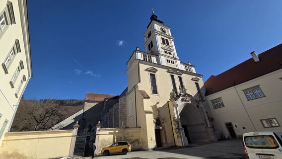
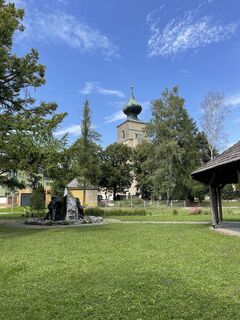
Sights: Hainfeld City Museum, Museum of Historic Beer Steins Hainfeld, Cultural Mile Hainfeld, Parish Church of Saint Veit in St. Veit, Geological Open-Air Museum "St. Veiter Steingarten", Church "St. Johann an der Traisen", Cistercian Abbey Lilienfeld, District Local History Museum with Zdarsky Ski Museum in Lilienfeld, Parish churches Lehenrotte and Türnitz
Priljubljeni izleti v okolici
-
4.9
Hohenstein von Sois
srednjaPohodništvo 12.0 km -
4.8
Türnitz - Eisenstein Türnitz, Niederösterreich
srednjaPohodništvo 15.5 km -
4.8
LILIENFELD Grünes Tor Muckenkogel Hinteralm Klosteralm 20201025
srednjaPohodništvo 11.7 km -
4.6
Eisenstein Rundweg von Türnitz-Knedelhof
svetlobaPohodništvo 10.2 km -
4.4
Kaiserkogel mit Start und Ziel in Eschenau
svetlobaPohodništvo 10.2 km -
4.4
Hohenstein 1195m - Sois im Pielachtal
svetlobaPohodništvo 10.6 km -
4.5
Rundweg Ochsenburgerhütte
svetlobaPohodništvo 7.60 km -
5.0
Gutensteiner Alpen: Ebenwaldhöhe - Reisalpe
svetlobaPohodništvo 4.70 km -
4.0
Hochstaff und Reisalpe
svetlobaPohodništvo 10.8 km -
4.2
Hainfelder Hütte: Schöner Rundkurs abseits der Massen
svetlobaPohodništvo 10.1 km

Pohodništvo in sledenje


Ne zamudite ponudb in navdiha za naslednje počitnice
Vaš e-poštni naslov je bil dodan na poštni seznam.