







Sonntagberg route 2nd stage: from Neustadtl to Aschbach

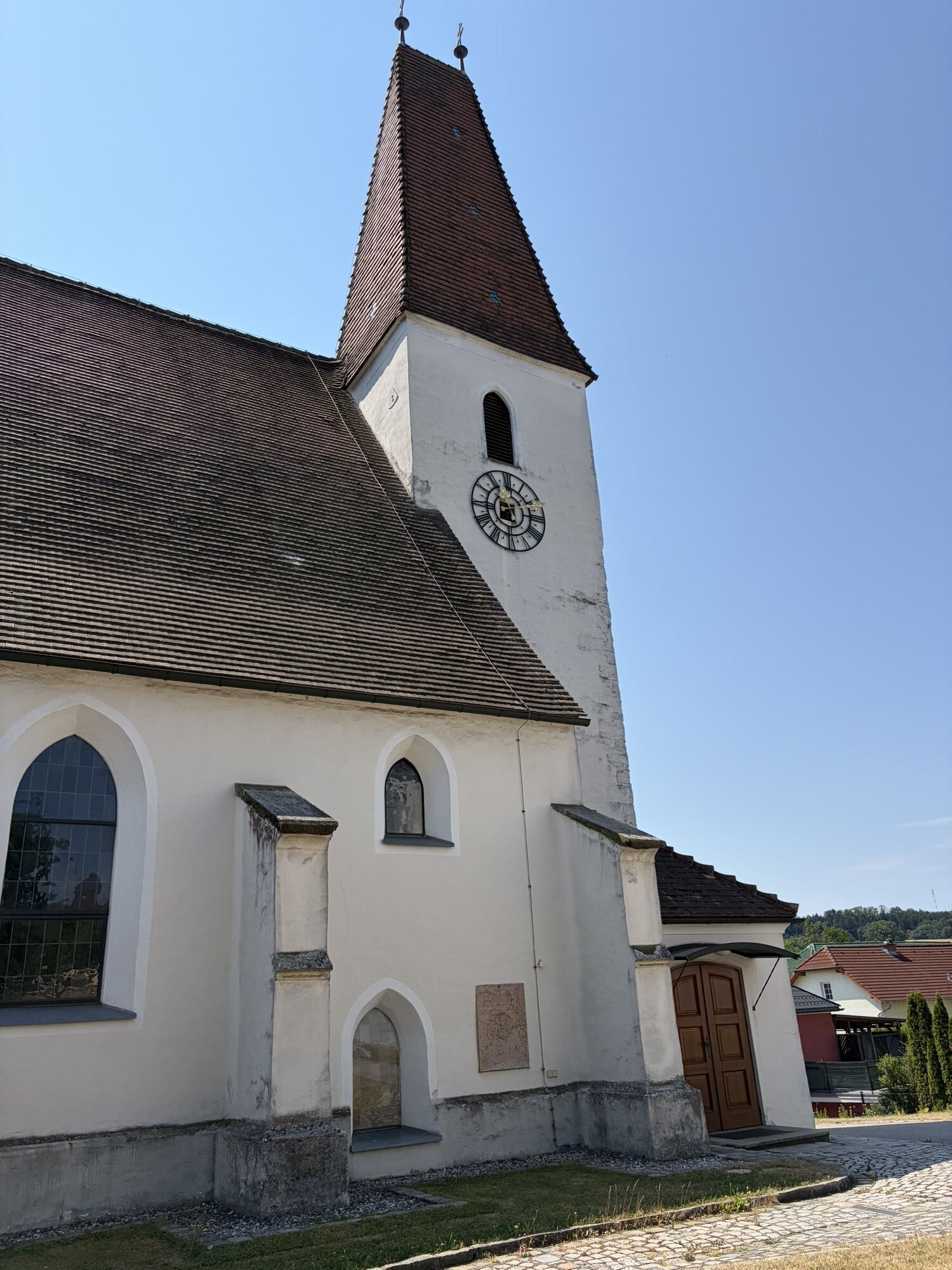
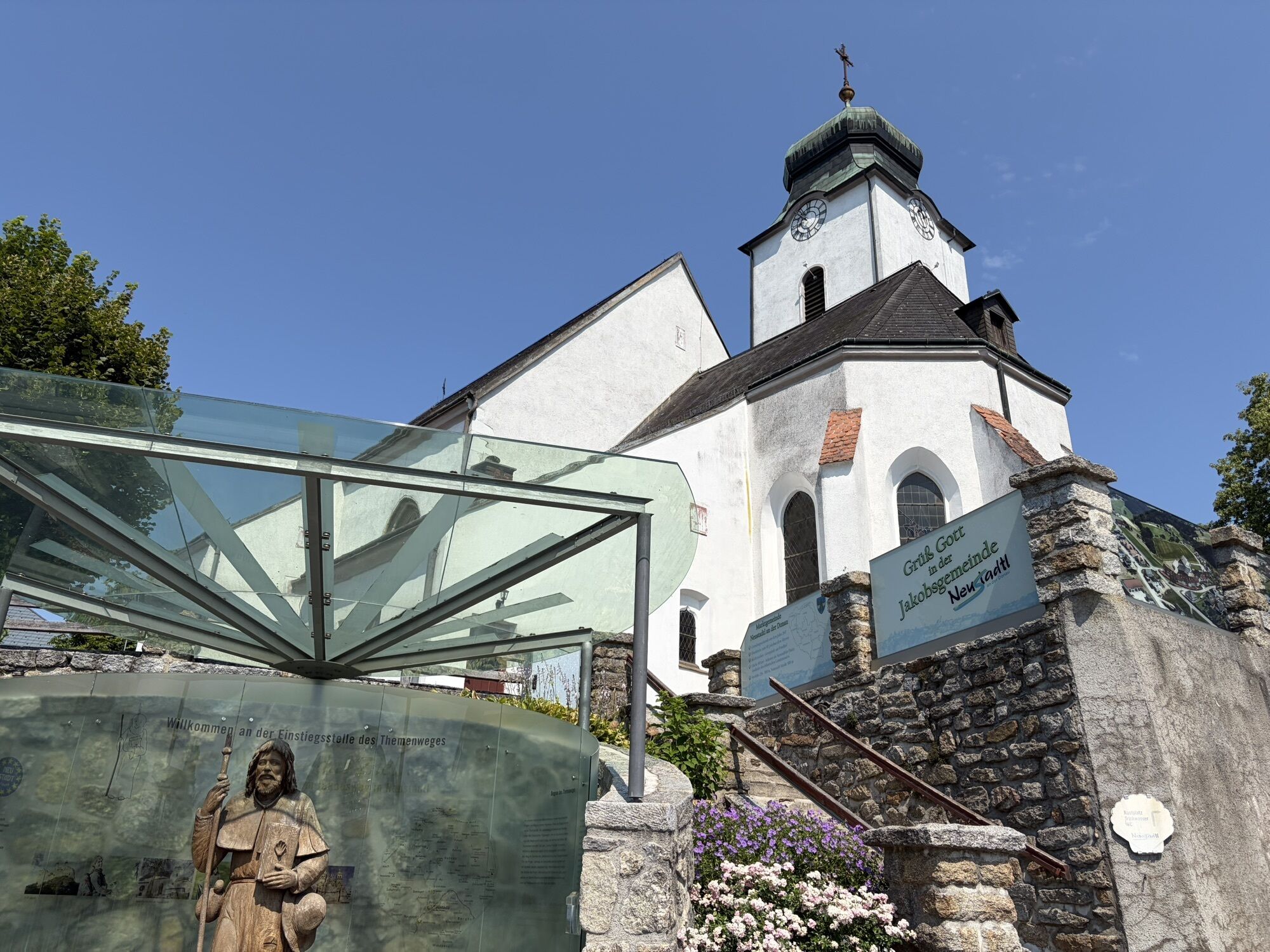
At an altitude of 507 meters, the municipality of Neustadtl is the starting point and also the highest point of this second stage of the Sonntagbergweg. From here, we first hike to Kollmitzberg. Kollmitzberg...
At an altitude of 507 meters, the municipality of Neustadtl is the starting point and also the highest point of this second stage of the Sonntagbergweg. From here, we first hike to Kollmitzberg. Kollmitzberg is a popular pilgrimage destination with the famous Ottilienbrunnen fountain and the pilgrimage church of St. Ottilie, which also boasts a particularly pretty view from the church. According to legend, "Odilia" was born blind at Hohenburg Castle (in the municipality of Obernai). Her father, Duke Eticho, wanted to have the girl killed because of her disability, but her mother saved her. Ottilie's baptism at the age of twelve gave her sight and for this reason she is venerated as the patron saint of the blind and the blind. The route continues to Ardagger Abbey, a former collegiate monastery in the municipality of the same name. The next section of the stage runs mostly through agricultural regions. We hike along narrow roads through cornfields and past square farms until we can make out our next stopover, the market town of Zeillern, in a hollow. In Zeillern, special mention should be made of the lovingly laid out "Inspiration Trail", which leads the pilgrim past six stations with glass sculptures and deals with themes such as hope, departure and security. From here we hike to Oberzeillern and later through the mystical Heubergwald forest and reach Aschbach-Markt via a beautiful themed trail.

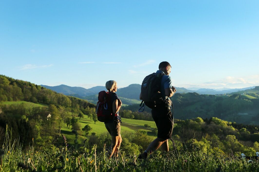
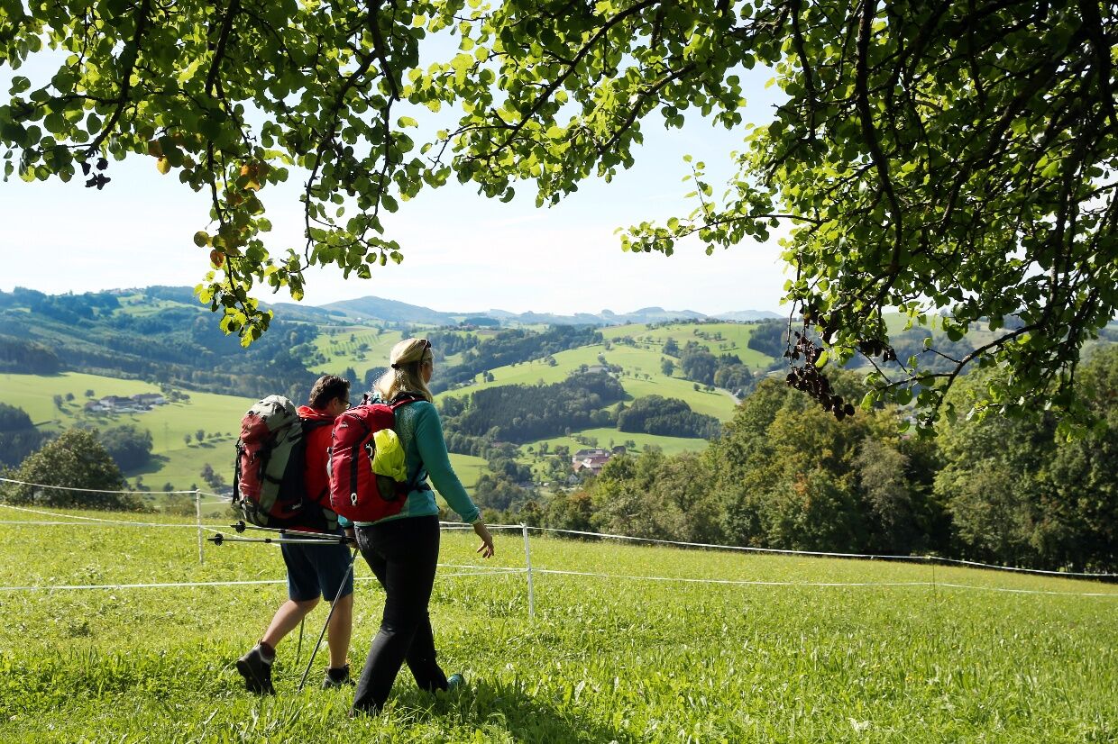
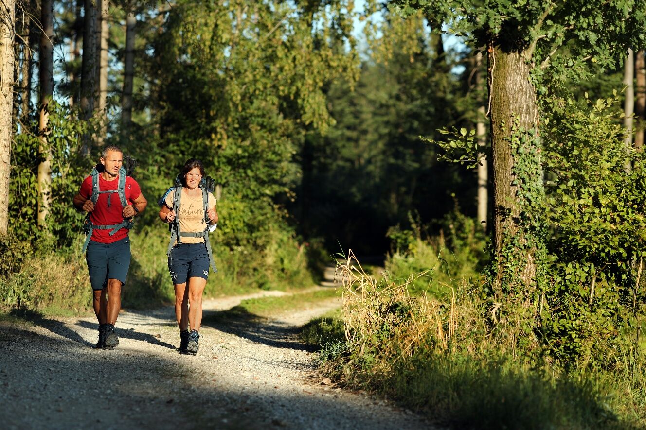

From Neustadtl, we follow the long-distance trail 08 southwest to the hamlet of Niederhößberg. There we turn west toward Öd onto the red-white marked hiking trail 453, which leads us to the pilgrimage church in Kollmitzberg and further downhill via Kirchfeld to the Ardagger monastery. Next, we continue via Pfaffenberg, Brachegg, Krenberg, and Schörghof to Zeillern. Along the Most educational trail, we continue to Oberzeillern. Shortly before the village, the original Jakobsweg turns right toward Gebetsberg, but we continue along the road through Oberzeillern and then along the Most hiking trail (turn left at the chapel on the village outskirts). After the hamlet of Obergrub, we go under the motorway bridge and shortly after cross the federal road. Next, we head to Flachsberg, where before the first farm we turn right onto a small road to Krottendorf. In the village, we turn right again, cross the state road, and turn right into a forest road. We walk through the Haaberg forest past the gallows cross, where we meet hiking trail 313. We follow the red markings via Abetzberg to Aschbach.
Coming from Salzburg, we take the Amstetten-West (123) exit and drive along the B119 via Ardagger Monastery, Kollmitzberg, and Schaltberg to Neustadtl on the Danube.
Coming from Vienna, we take the Amstetten-East (108) exit, then follow the B1 to Balldorf/Hermannsdorf and turn right onto the L6039. We cross the West Autobahn and reach Neustadtl on the Danube via Krahof and Hainstetten.
Arrival to Neustadtl:
We take the train to Amstetten and from there the bus 1616 to Neustadtl/Donau.
There are many parking options around the church in Neustadtl.
Mostviertel Tourism GmbH
Töpper Castle Neubruck, Neubruck 2/10, 3270 Scheibbs
T +43/7482/20 444
info@mostviertel.at, www.mostviertel.at
Sonntagberg Pilgrimage and Pilgrim Center
Tel.: +43 (0)7448/215 72
sonntagberg@stift-seitenstetten.at
www.sonntagberg.com
Useful maps:
ÖK 4322 Pöchlarn, ÖK 4327 Amstetten, ÖK 4328 Scheibbs,
ÖK 4203 Waidhofen, ÖK 4204 Lunz
All in scale 1:50,000 (also available enlarged 1:25,000)
F&B hiking maps 052 Mostviertel (1:50,000),
Kompass hiking guide 1085 Jakobsweg
Important phone numbers:
Alpine emergency: 140, international emergency: 112
Recommended literature:
Hiking guide Jakobsweg Austria, www.kompass.at
On the Jakobsweg through Austria, www.tyrolia-verlag.at
Pilgrim routes, www.kral-verlag.at
Sonntagberg, www.volkskulturnoe.at

Priljubljeni izleti v okolici
- 4.2
Wolfsschlucht - auf den Spuren adeliger Kurgäste
Pohodništvo 2.29 km - 4.7
Stillensteinklamm, Grein
svetlobaPohodništvo 10.4 km - 4.7
Stillensteinklamm Rundweg über Struden
svetlobaPohodništvo 12.6 km - 4.5
Gobelwarte-Runde, Grein
srednjaPohodništvo 8 km - 4.4
Gobelwarte - Grein, Oberösterreich
srednjaPohodništvo 5.41 km - 4.6
Brandstetterkogel über Matras Steig
svetlobaPohodništvo 6.28 km - 4.8
Clamrunde durch die Schlucht
svetlobaPohodništvo 5 km - 4.1
Wallsee Altarmrunde
svetlobaPohodništvo 8.19 km - 4.3
R1.14 Moonstone Circuit
srednjaKolesarjenje 27.0 km - 4.1
Bad Kreuzen: Kreuzner Donaublickrunde
srednjaPohodništvo 16.8 km
Pohodništvo in sledenje


Ne zamudite ponudb in navdiha za naslednje počitnice
Vaš e-poštni naslov je bil dodan na poštni seznam.





