



Jakobsweg Mostviertel: 1st stage: from Maria Taferl to Neustadtl

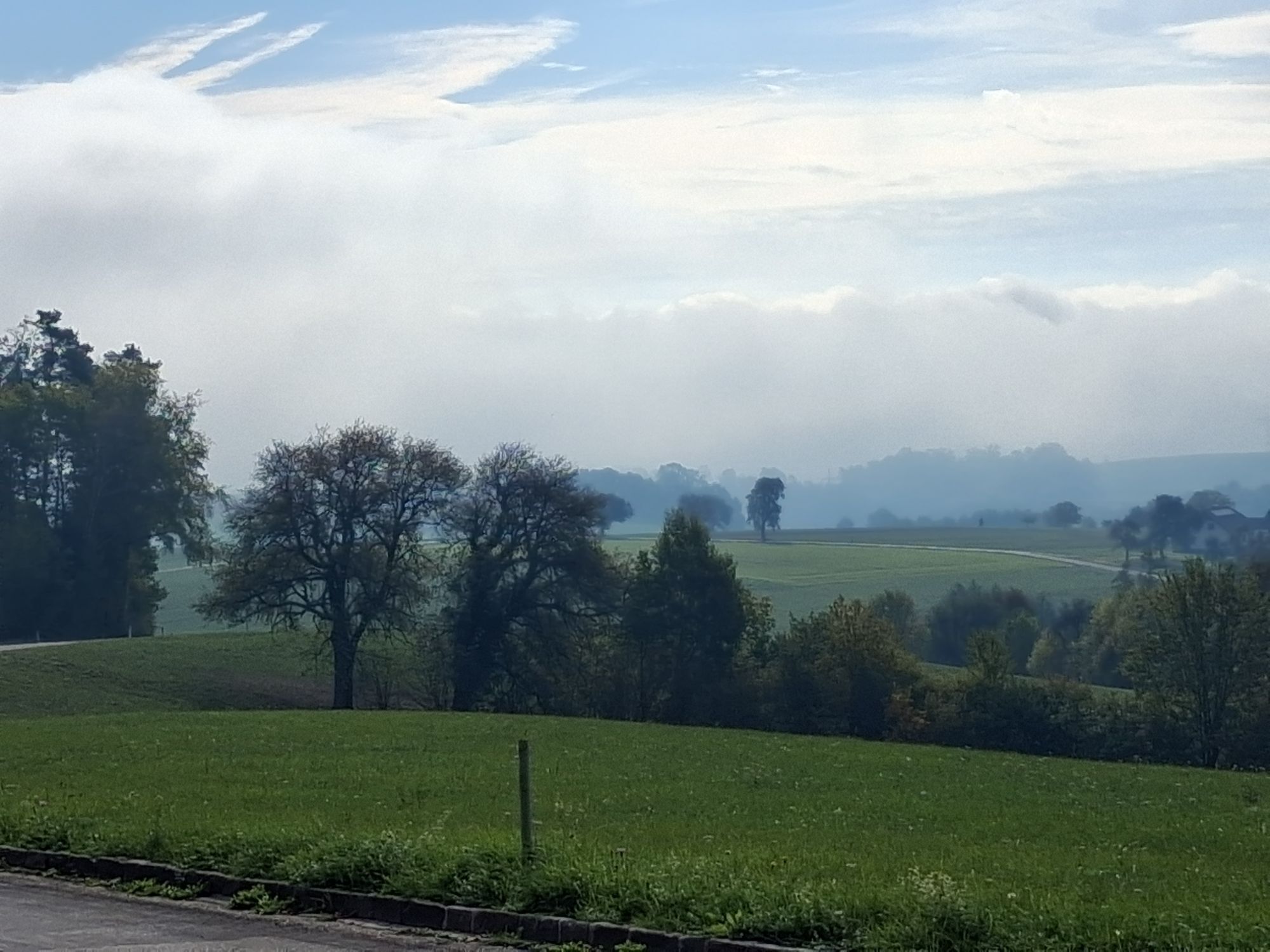
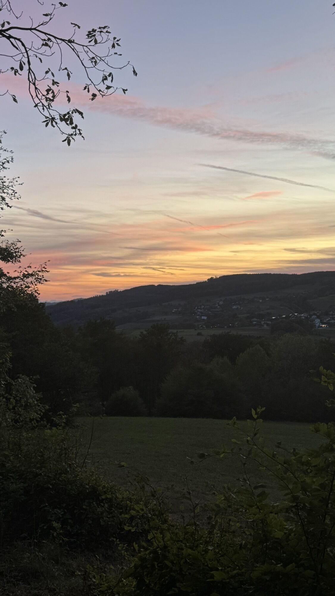
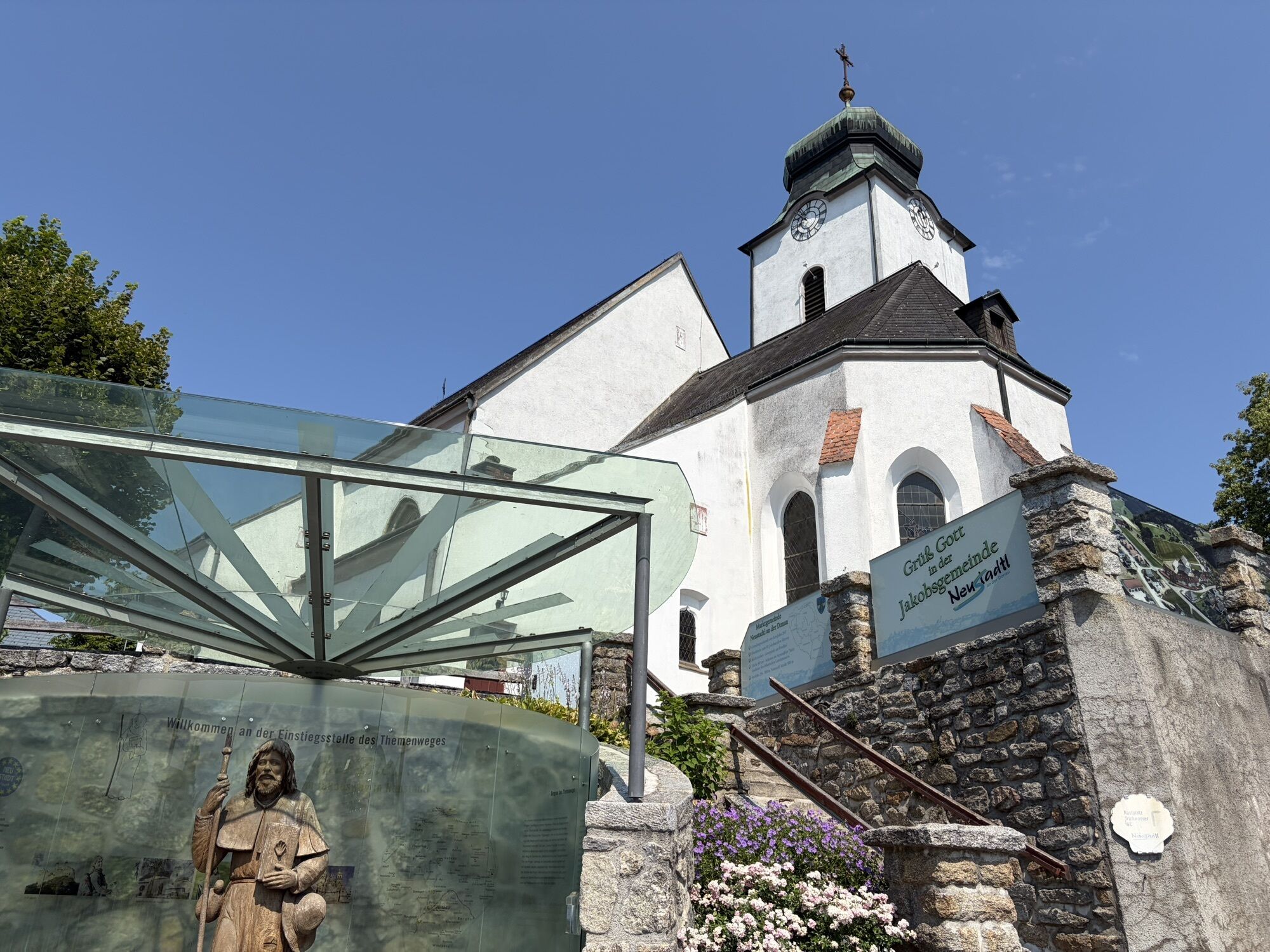
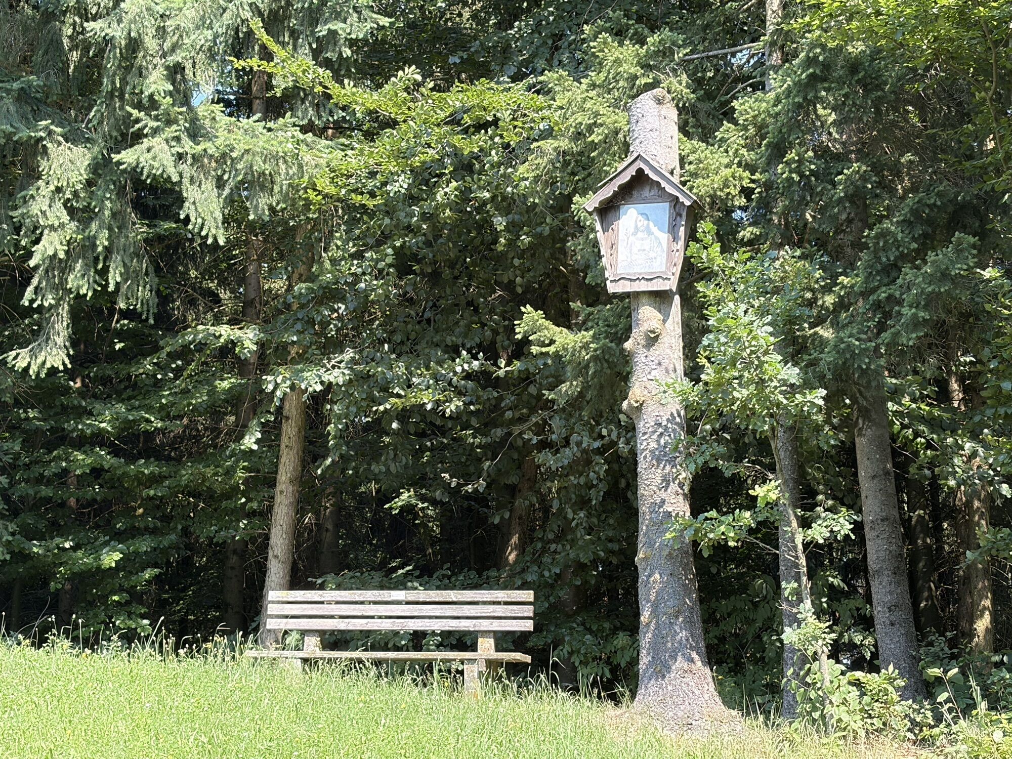
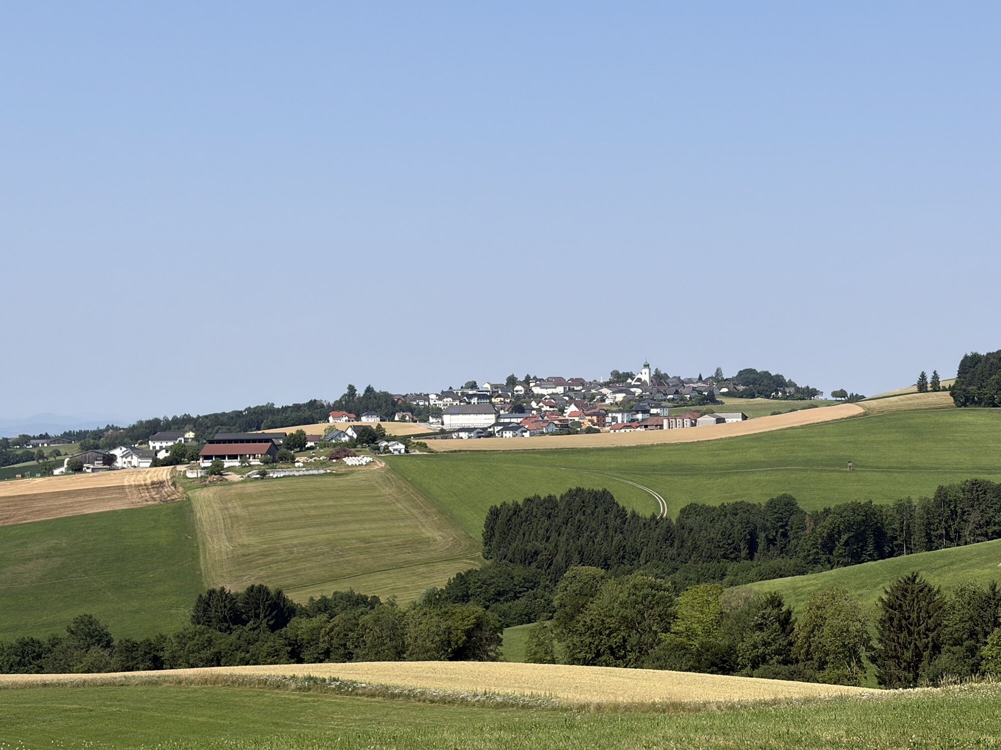
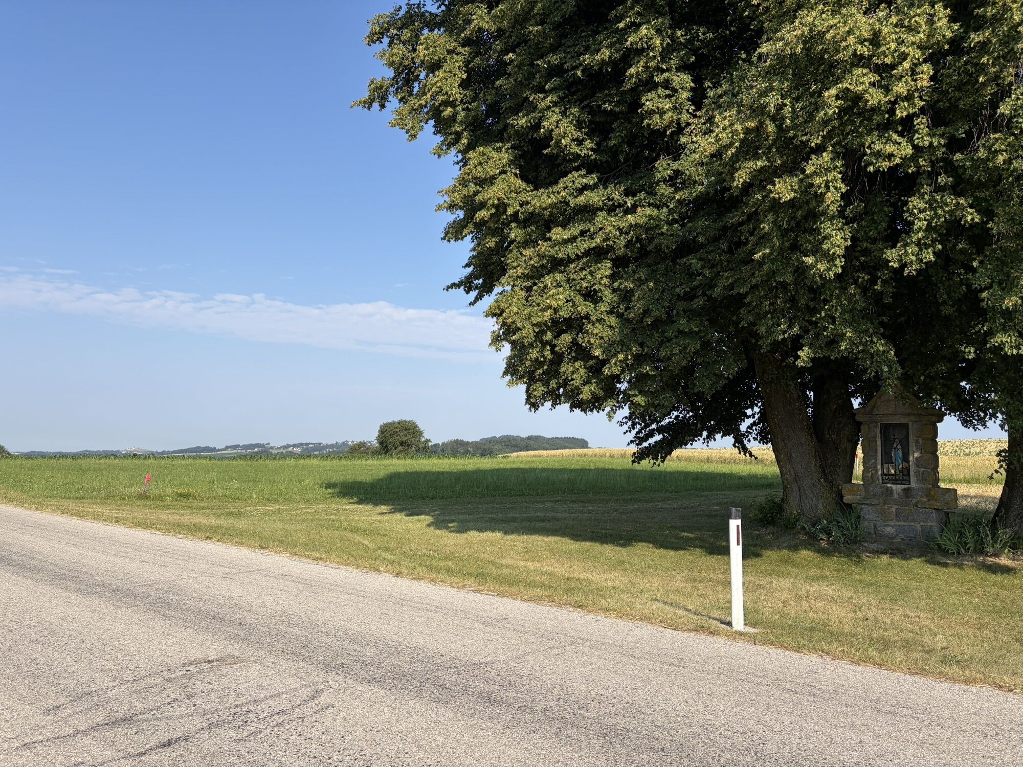
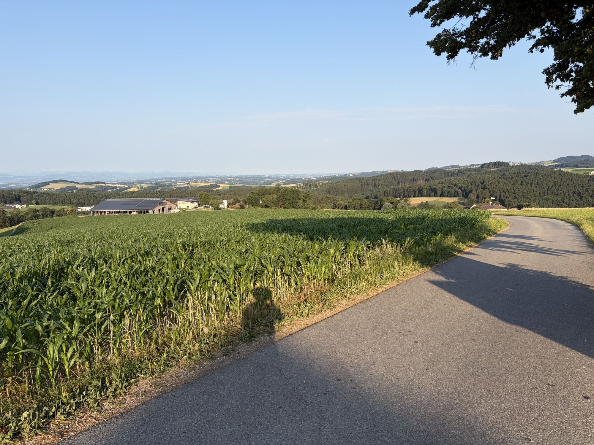
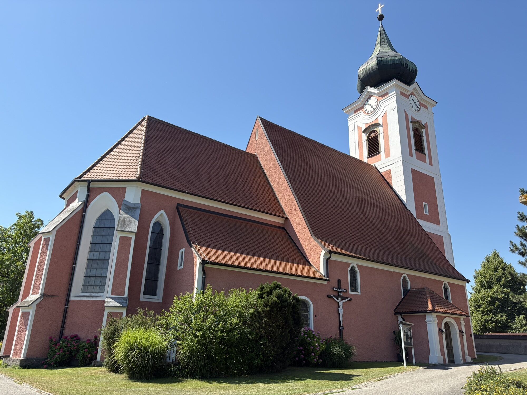
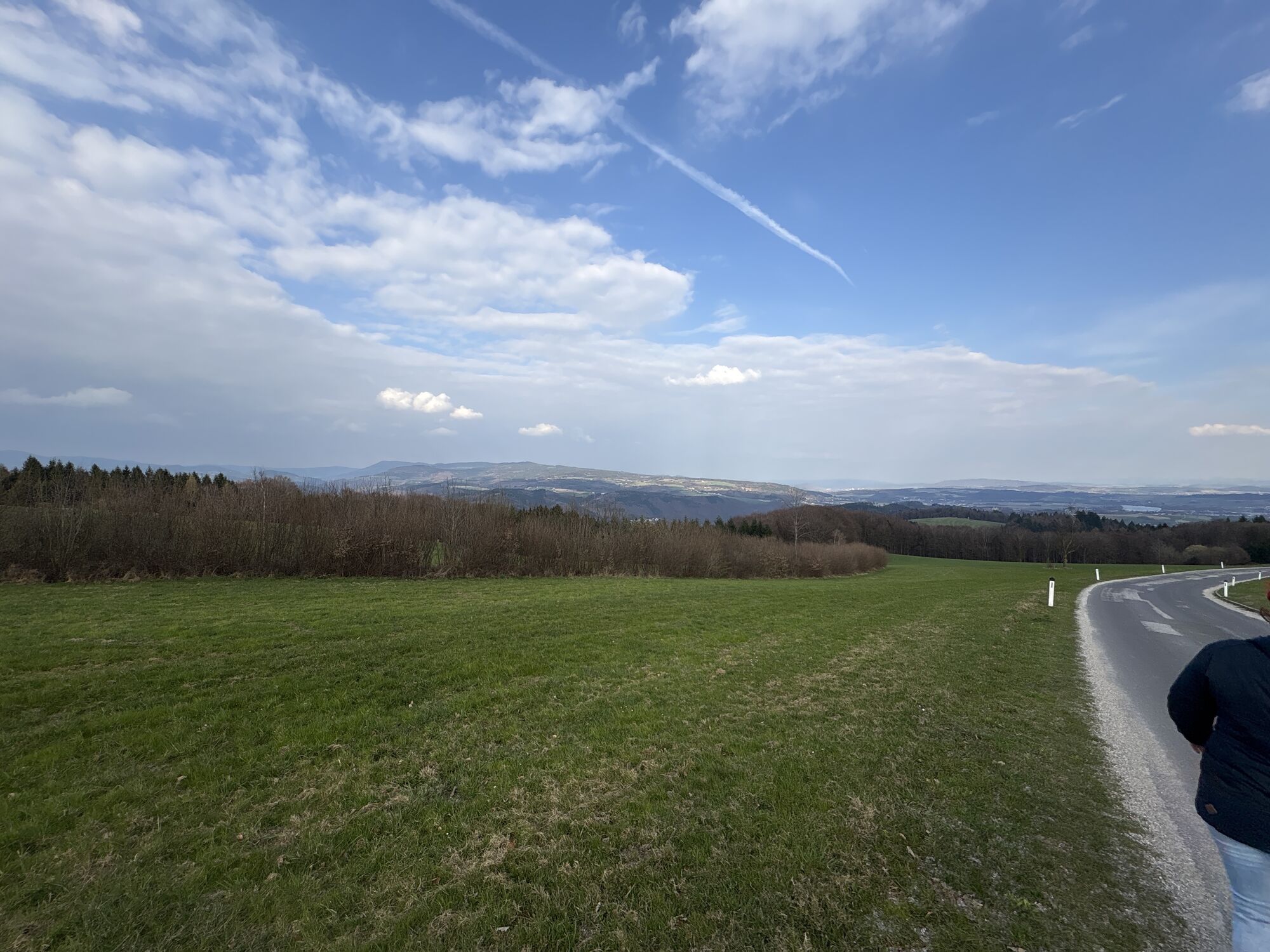
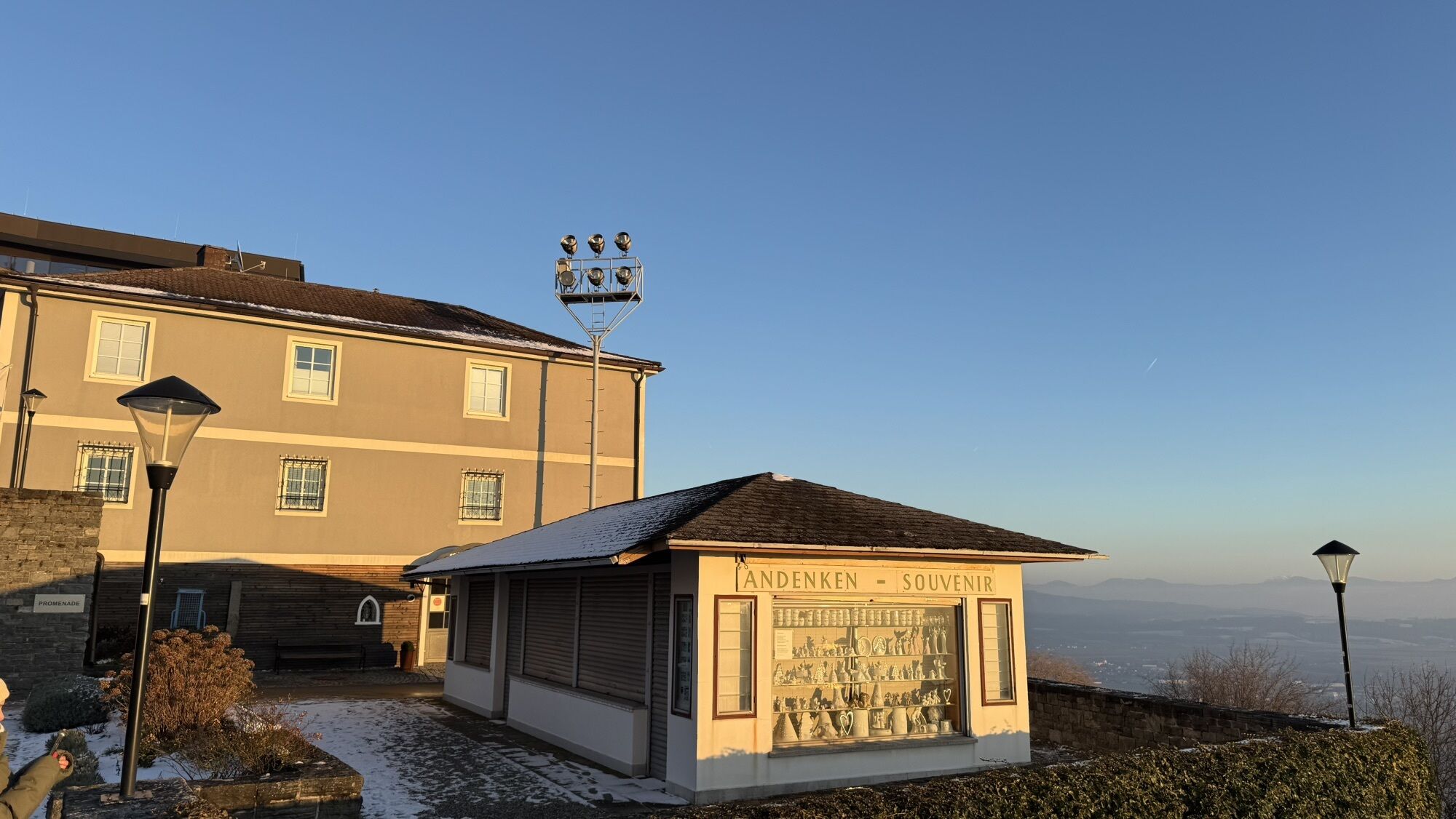
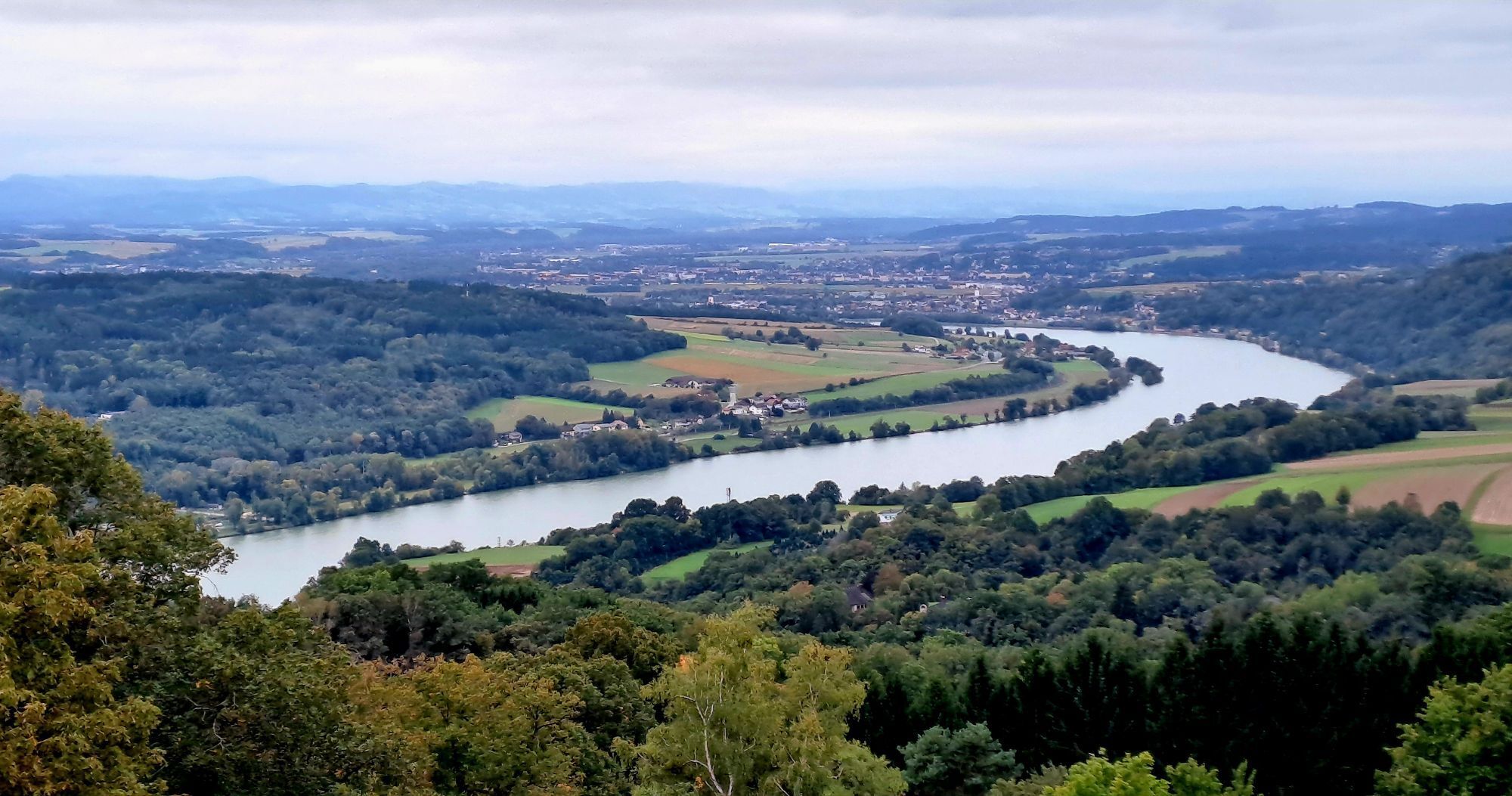
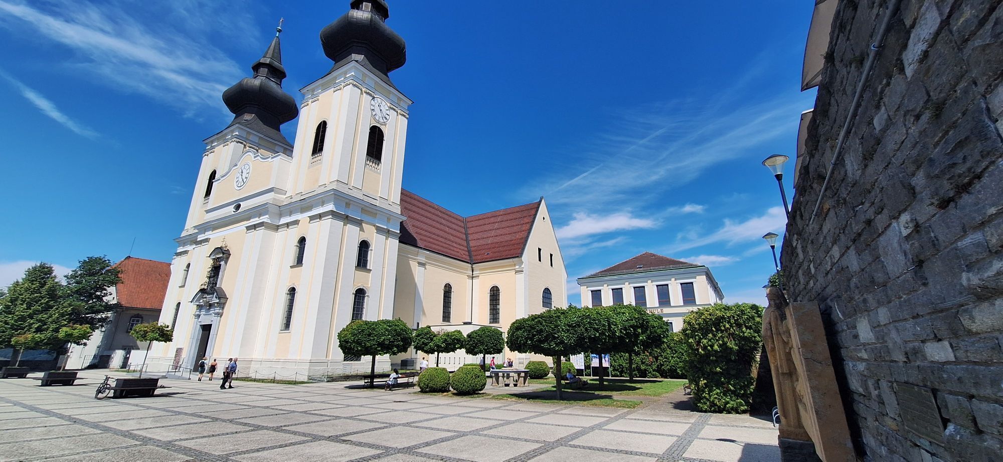
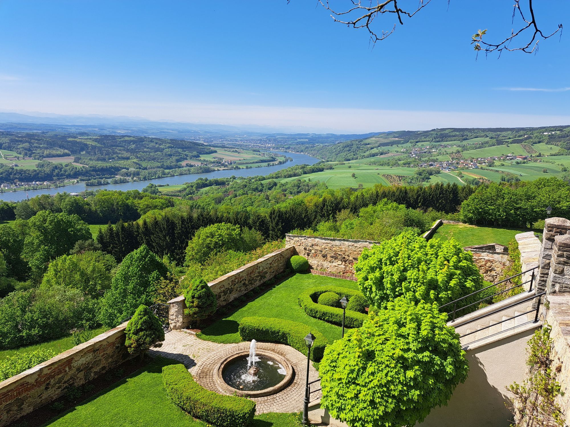
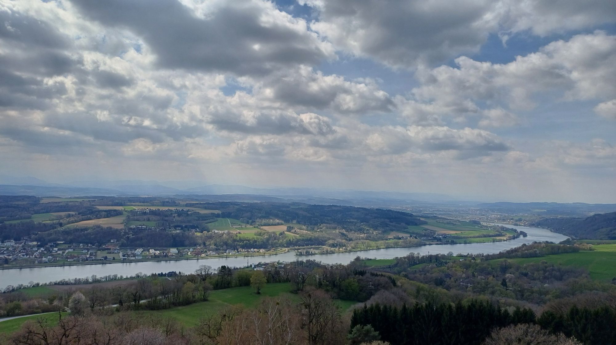
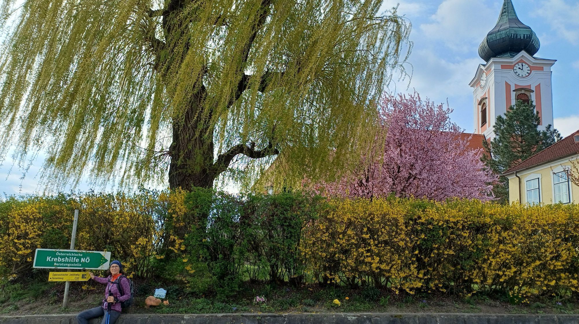
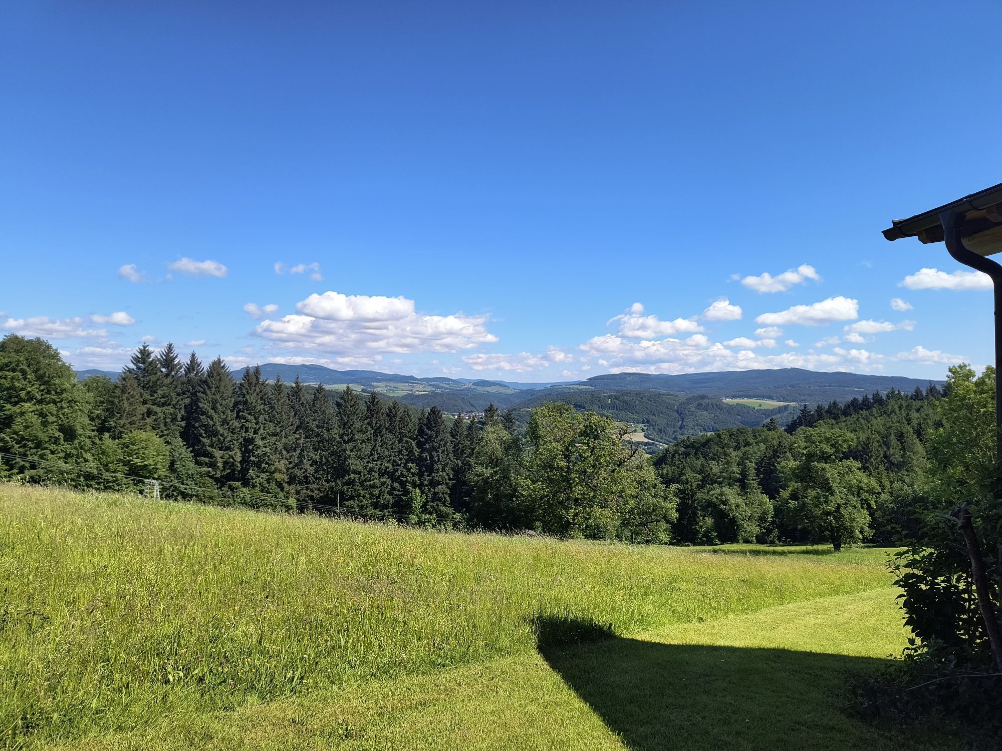
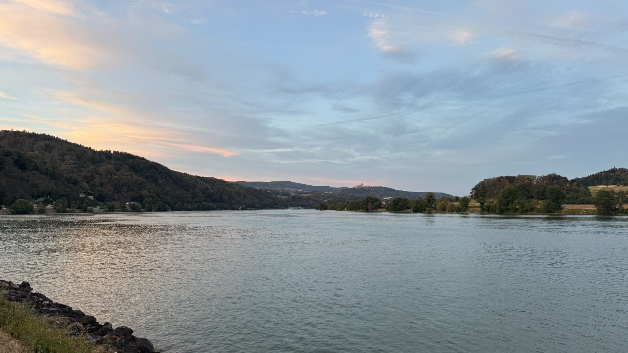
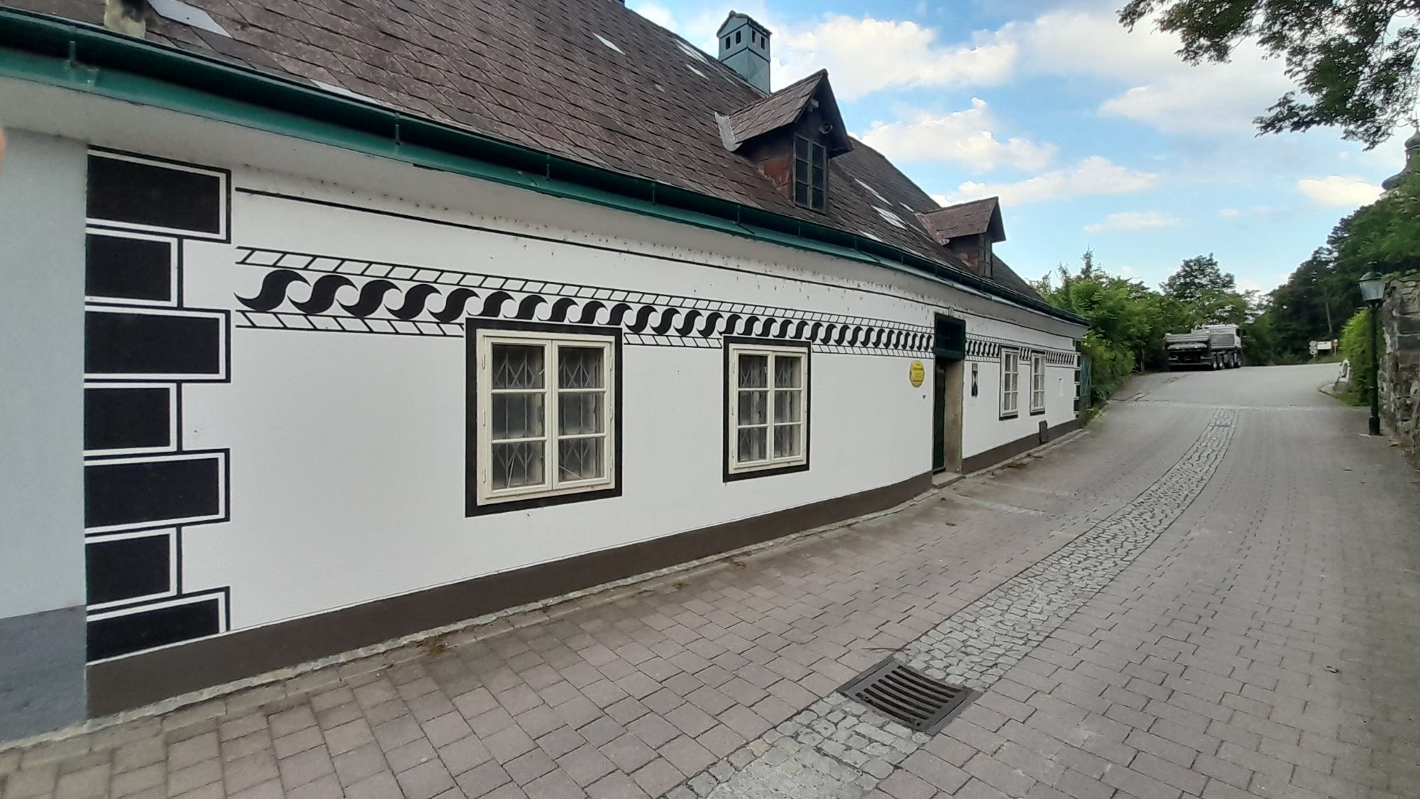
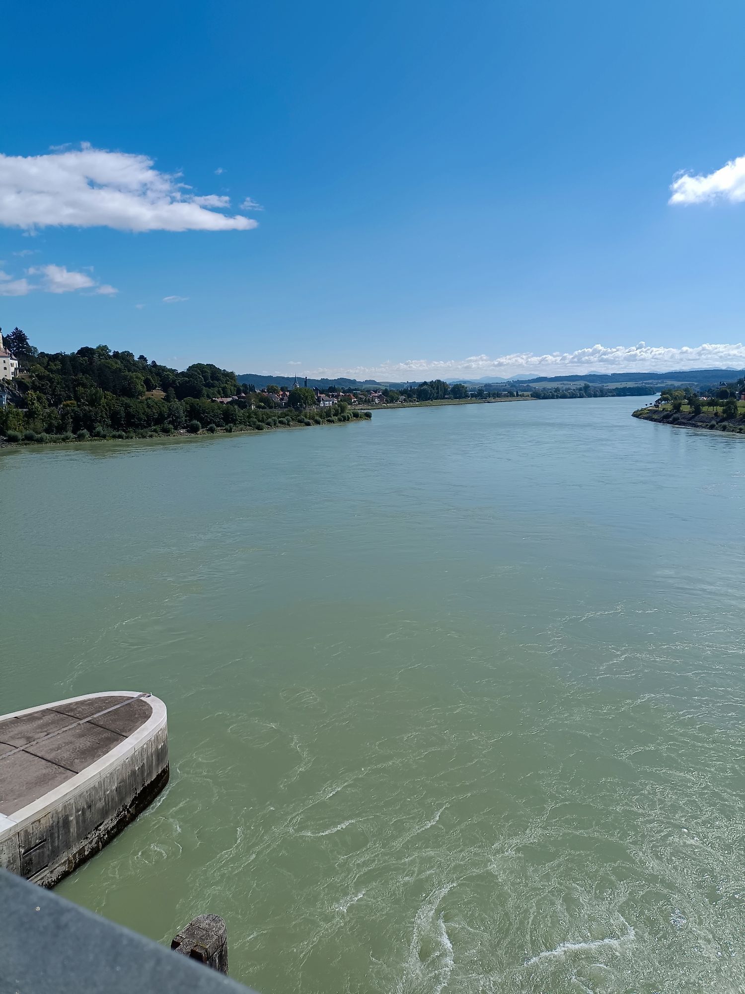
From Maria Taferl, the route goes downhill through beautiful deciduous forests to the shore of the Danube in Marbach. Upon reaching the town center, we make a detour to the baroque parish church of St....
<p>From Maria Taferl, the route goes downhill through beautiful deciduous forests to the shore of the Danube in Marbach. Upon reaching the town center, we make a detour to the baroque parish church of St. Martin, located at the foot of the Calvary hill, and then continue our path along the Danube shore. After some time, we see the Säusenstein Abbey on the left and already the parish church of St. Peter and Paul in Gottsdorf on the right. From Gottsdorf, the path leads past the cemetery over meadows and fields into the town center of Persenbeug. Here are the late Gothic Florian Chapel and Persenbeug Castle, a multi-winged building situated on a high rock with a west-facing chapel. If you want and still have energy, you can visit the town municipality of Ybbs on the opposite side of the Danube, which houses among others the parish church of St. Lorenz, built in 1521, in its pretty town center. Now begins the "mountain stage" of this pilgrimage route with the ascent towards Marienhöhe, covering about 300 meters of elevation initially mostly on forest paths, later over meadows and fields, until reaching the highest point of this stage, the Hengstberg. From Hengstberg, the route proceeds via the Lueger Chapel to Berghof and over the hills of the Mostviertel to the town of Neustadtl an der Donau, located on a high plateau of the Bohemian Massif. In Neustadtl, there is a special thematic trail for the pilgrims of the Jakobsweg ("The way is the goal...Pilgrimage on the Jakobsweg in Neustadtl"), which provides information about pilgrimage with 13 different stations. The starting point for this thematic trail is the Jakob church in Neustadtl, a simple late Gothic hall church from the beginning of the 16th century.</p>



<p>From the square in front of the pilgrimage basilica, we go down a set of stairs to the street, which we cross, and follow the "Bußweg" to Marbach. At the boat dock, we cross the B 3 road, keep right, and follow the Danube bike path westwards. In Gottsdorf, we turn right before the church, pass the old school, and at the intersection turn left, then immediately right past the cemetery. After crossing the industrial road, we reach a field path that leads us to Persenbeug. In Persenbeug, we pass the town hall square with the old parish church. Along Schlossstraße, we reach the Danube bridge, which we cross to the other shore.<br />Once there, we first follow the Danube bike path towards Mauthausen and then turn left onto the long-distance hiking trail 08. We follow this partly on forest and meadow paths, partly along the Hengstberg Most heights road, past the Hengstberg ski hut to the highest point of this stage at the foot of the Hengstberg with a beautiful view. Always following the markers of the 08 trail, we reach the hamlet of Winthan, the Lueger Chapel, and continue to Neustadtl. Shortly before Neustadtl, we meet the Jakobs thematic trail. Here we go straight on towards the town center (not following the thematic trail markers to the right!).</p>
<p>Maria Taferl is located in Lower Austria, halfway between Vienna and Linz, and is accessible via the West Autobahn (exit 90 - Pöchlarn). In Pöchlarn, you cross the Danube and then turn left. After Klein-Pöchlarn, take the right uphill towards Maria Taferl.</p>
<p>From Amstetten or St. Pölten, you can take the Regional Express to Pöchlarn, from where a Postbus (NG1) goes to Maria Taferl. Stop "Maria Taferl Ortsmitte".</p>
<p>Parking is available in the town center of Maria Taferl (east of the basilica).</p>
Mostviertel Tourismus GmbH
Töpperschloss Neubruck, Neubruck 2/10, 3283 Scheibbs
T +43/7482/20 444
info@mostviertel.at, www.mostviertel.at
Upper Austria Tourism Information
Freistädter Straße 119, 4041 Linz
info@oberoesterreich.at
www.wandern.at
Useful maps:
ÖK 4322 Pöchlarn, ÖK 4327 Amstetten, ÖK 4328 Scheibbs,
ÖK 4203 Waidhofen, ÖK 4204 Lunz
All at 1:50,000 scale (also available enlarged at 1:25,000)
F&B Hiking Maps 052 Mostviertel (1:50,000),
Kompass Hiking Guide 1085 Jakobsweg
Important phone numbers:
Alpine emergency call: 140, International emergency call: 112
Recommended literature:
Jakobsweg Austria Hiking Guide, www.kompass.at
On the Jakobsweg through Austria, www.tyrolia-verlag.at
Pilgrimage paths, www.kral-verlag.at
Pilgrimage routes to Mariazell – volumes West + South, www.styriabooks.at


Priljubljeni izleti v okolici
- 4.7
Waldhausen: Outlook circuit
srednjaPohodništvo 14.0 km - 4.7
Stillensteinklamm, Grein
svetlobaPohodništvo 10.4 km - 4.7
Stillensteinklamm Rundweg über Struden
svetlobaPohodništvo 12.6 km - 4.7
Erlaufschlucht
svetlobaCanyoning 4.58 km - 4.6
Ausgedehnte Peilsteinrunde
srednjaPohodništvo 13.7 km - 4.9
LAIMBACH Ostrong Peilstein 20220716
srednjaPohodništvo 7.70 km - 4.6
Purgstall Route 3 entlang der Erlauf und Umgebung
svetlobaPohodništvo 11.6 km - 4.5
Durch die Steinwandklamm von Maria Taferl aus
svetlobaPohodništvo 8.26 km - 4.4
Gobelwarte - Grein, Oberösterreich
srednjaPohodništvo 5.41 km - 4.6
Brandstetterkogel über Matras Steig
svetlobaPohodništvo 6.28 km
Pohodništvo in sledenje


Ne zamudite ponudb in navdiha za naslednje počitnice
Vaš e-poštni naslov je bil dodan na poštni seznam.


