


Multi-day route Krems - Mariazell
Fotografije naših uporabnikov

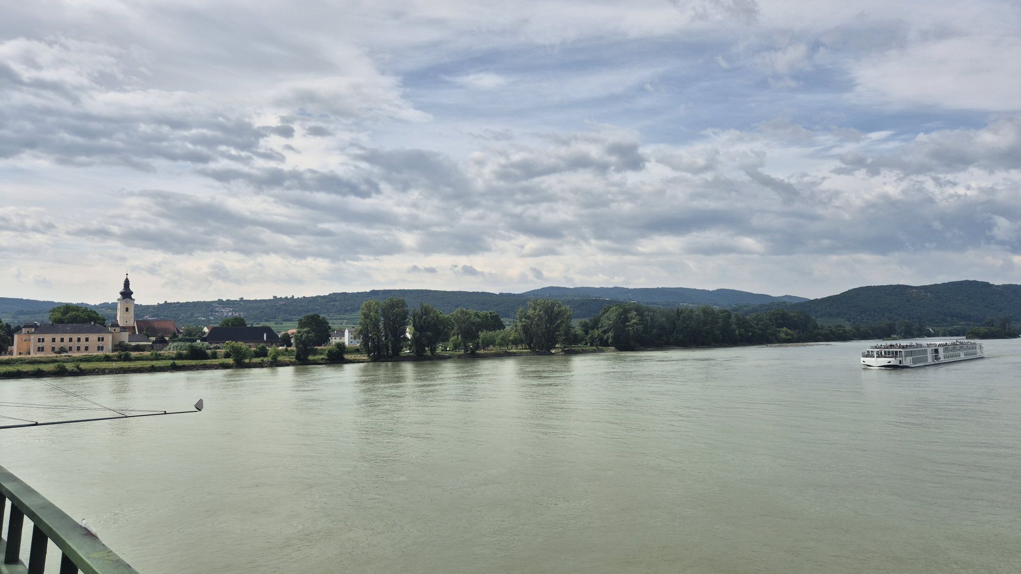
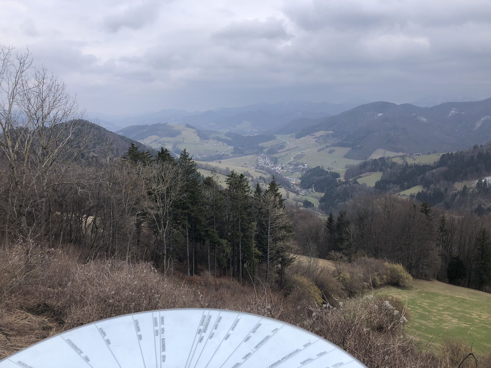
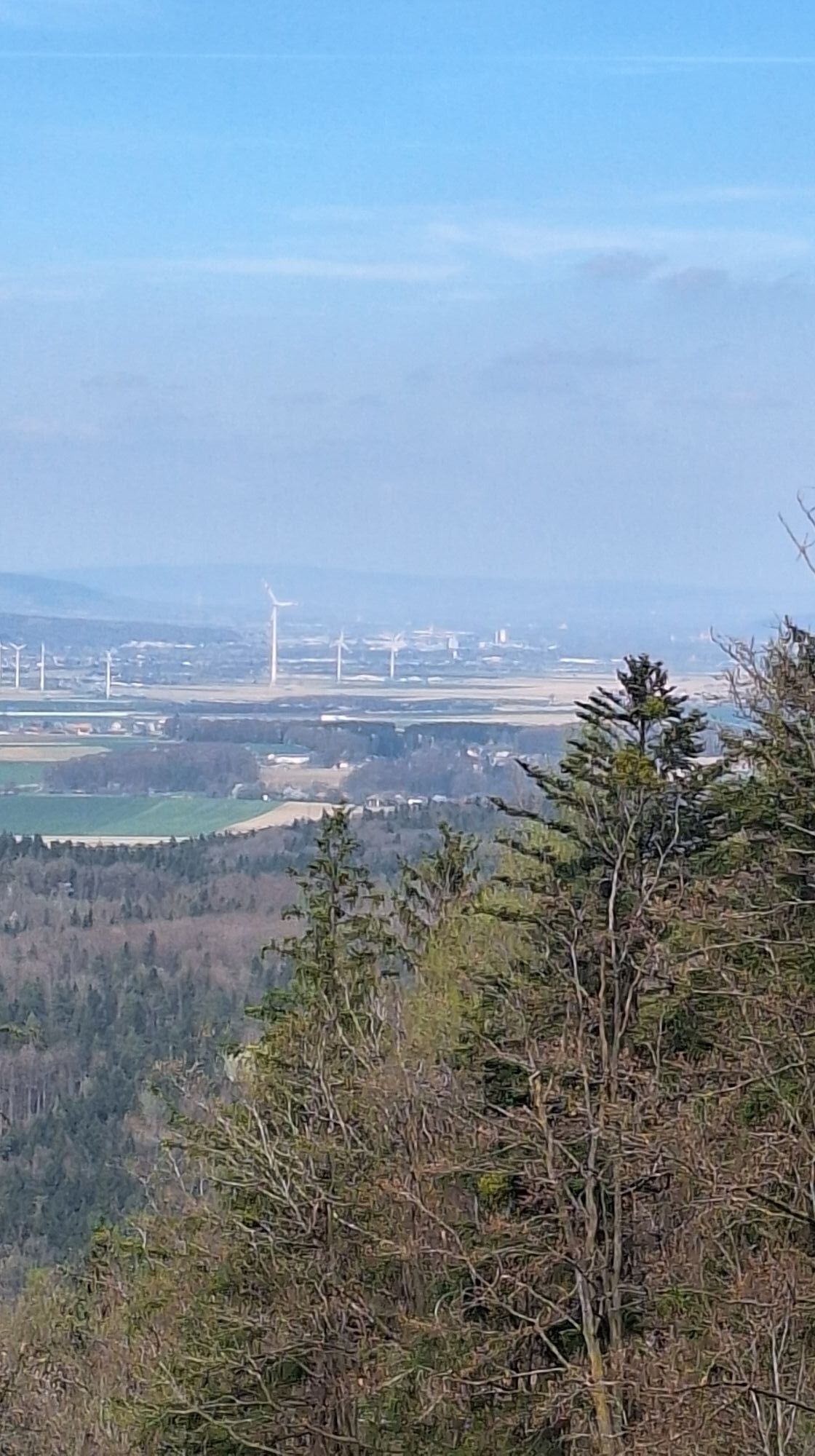
 © Harald FertnerUstvarjeno na 01.06.2023
 © Harald FertnerUstvarjeno na 01.06.2023
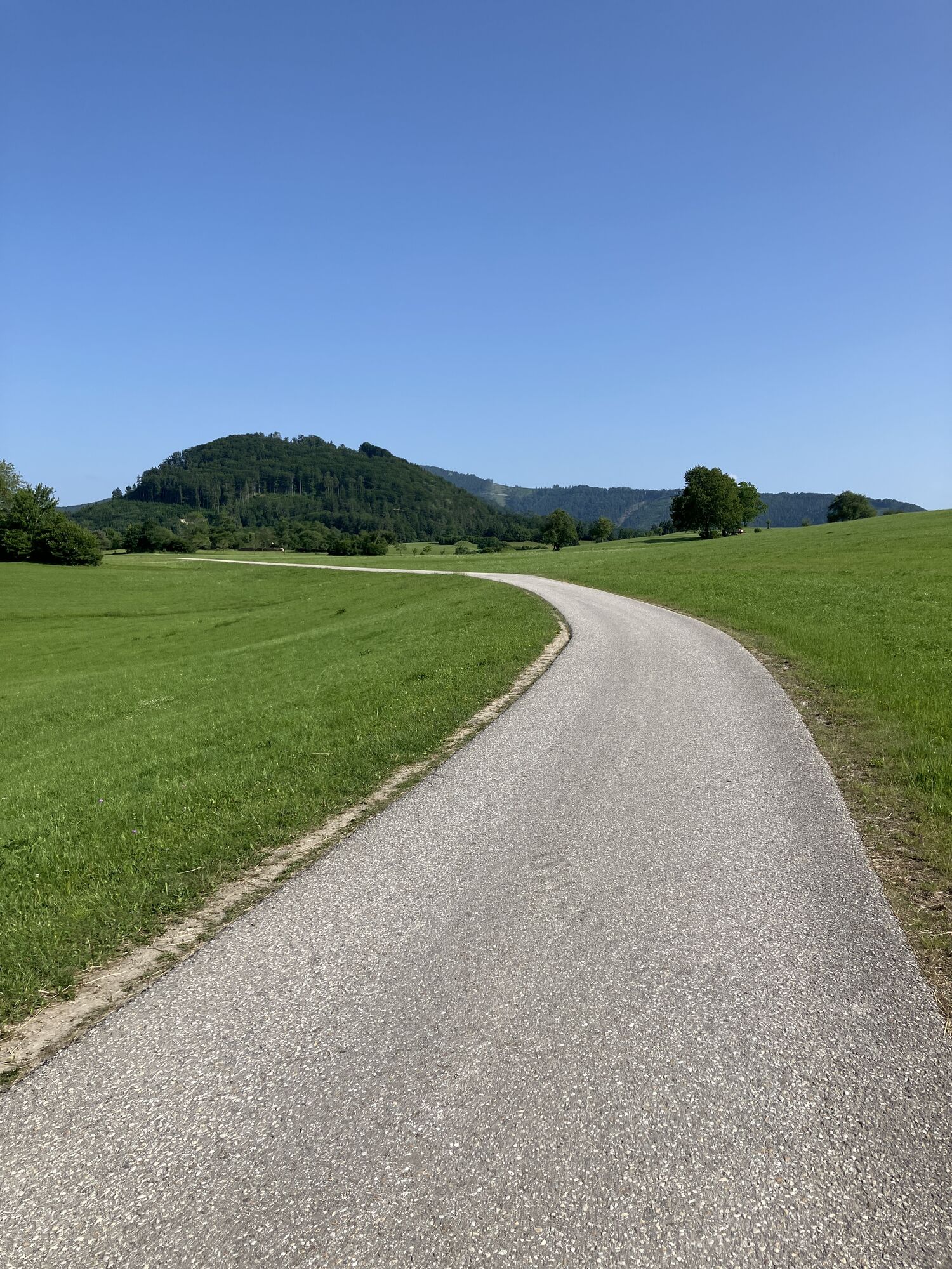
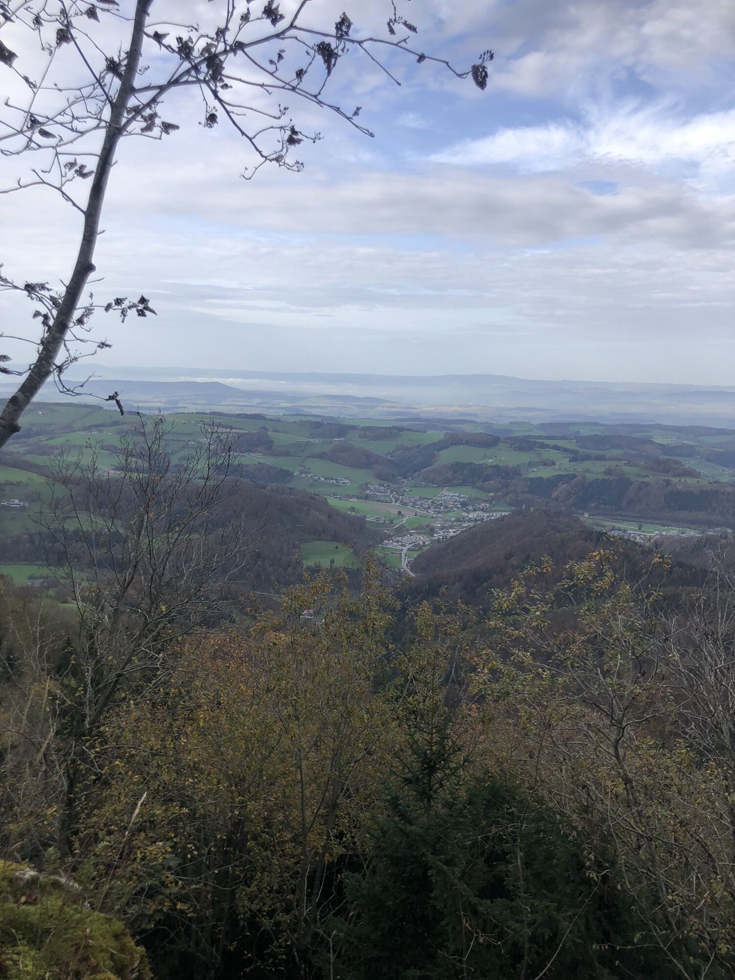
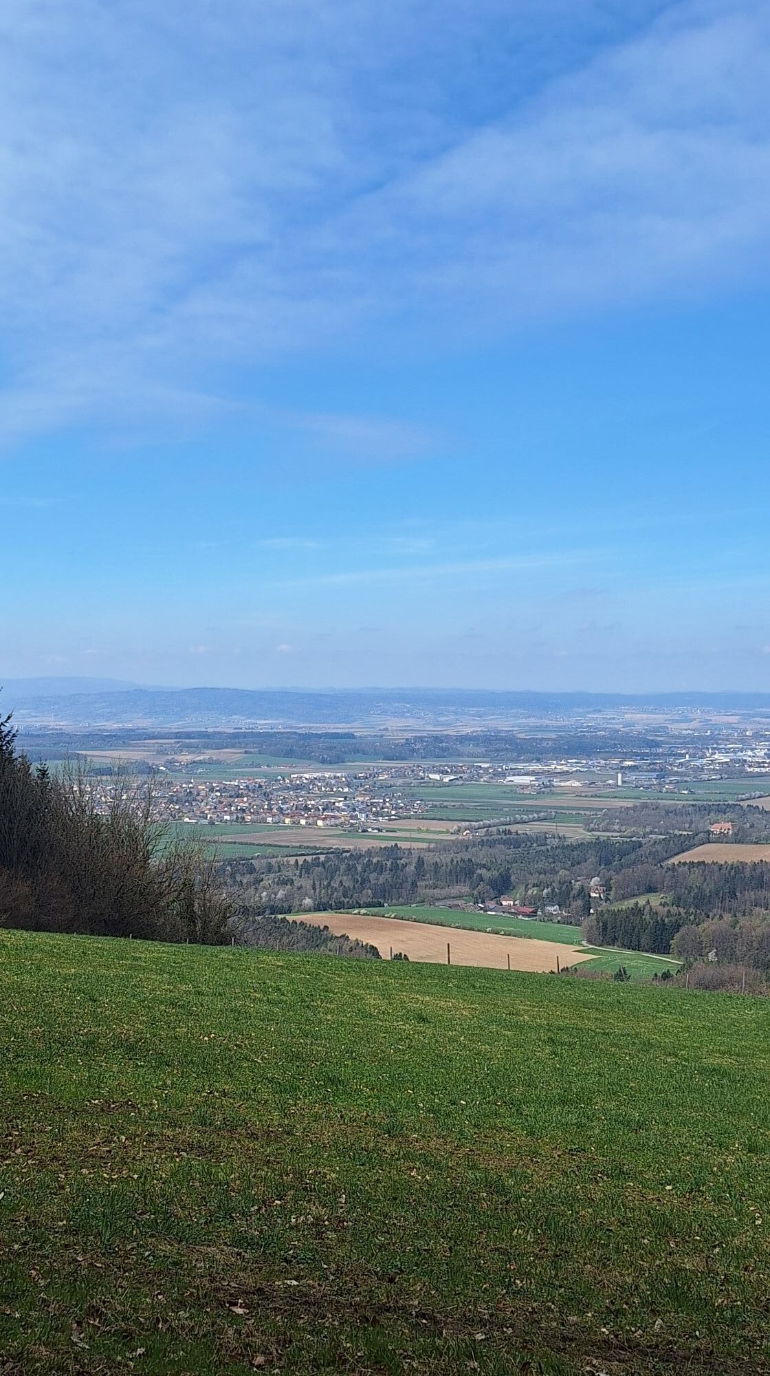
 © Christian KakuskaUstvarjeno na 05.03.2023
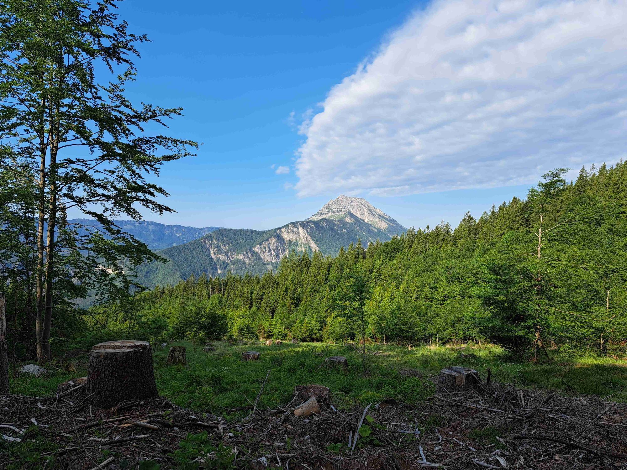
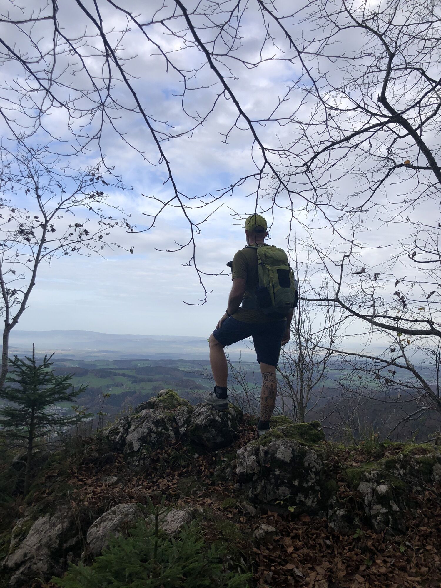
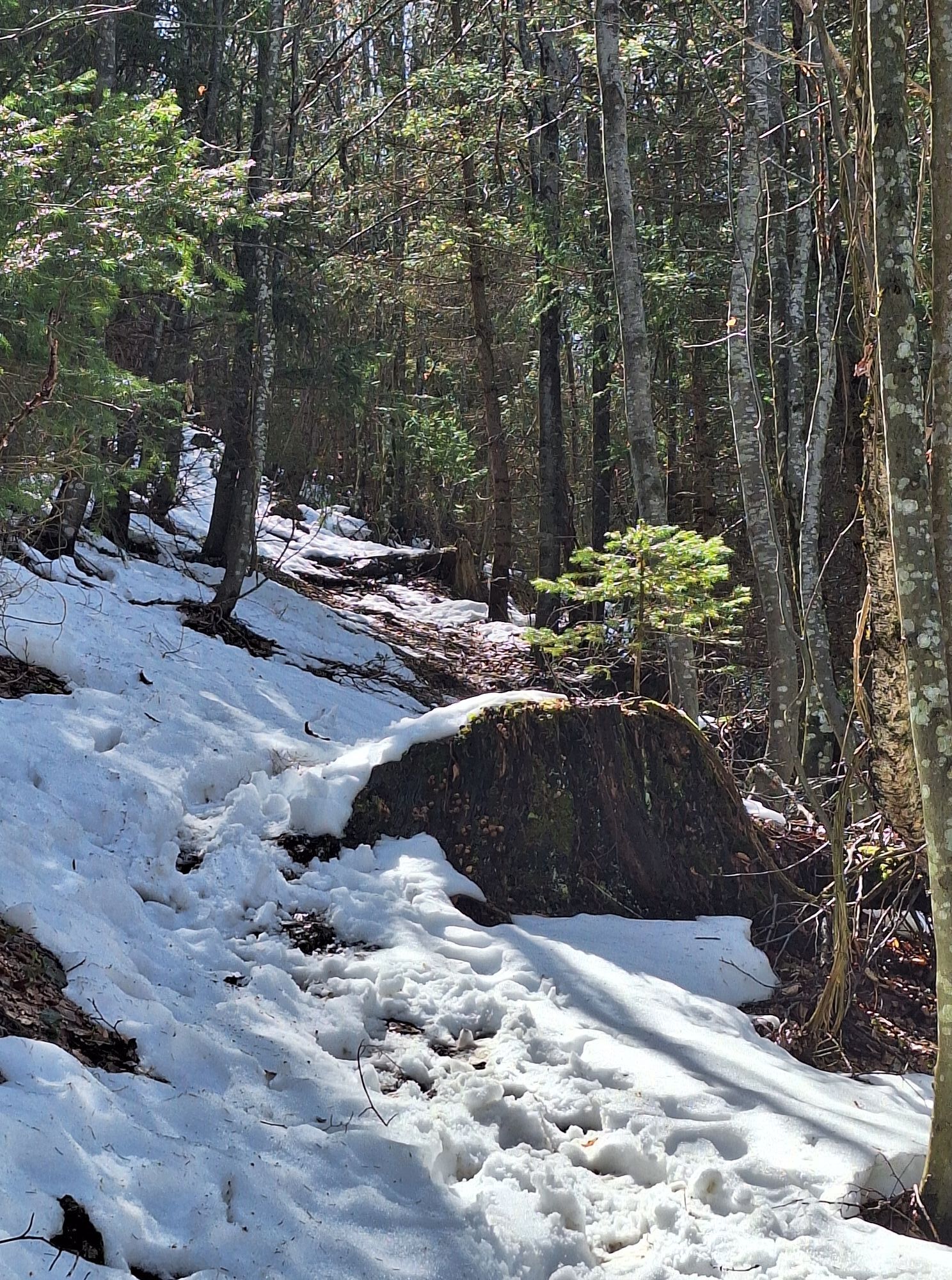
 © Carina PfeifferUstvarjeno na 29.10.2022
 © MimiUstvarjeno na 07.03.2026
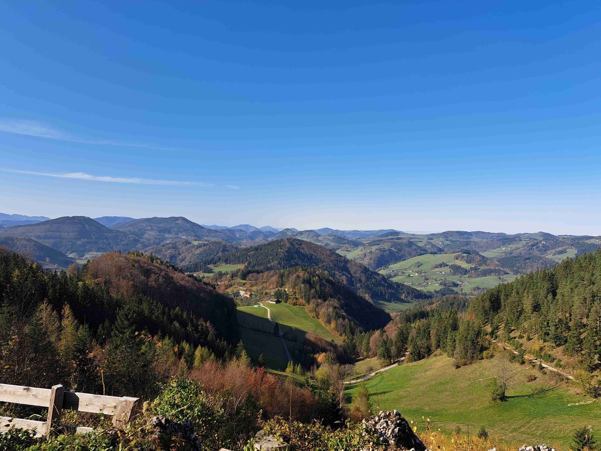
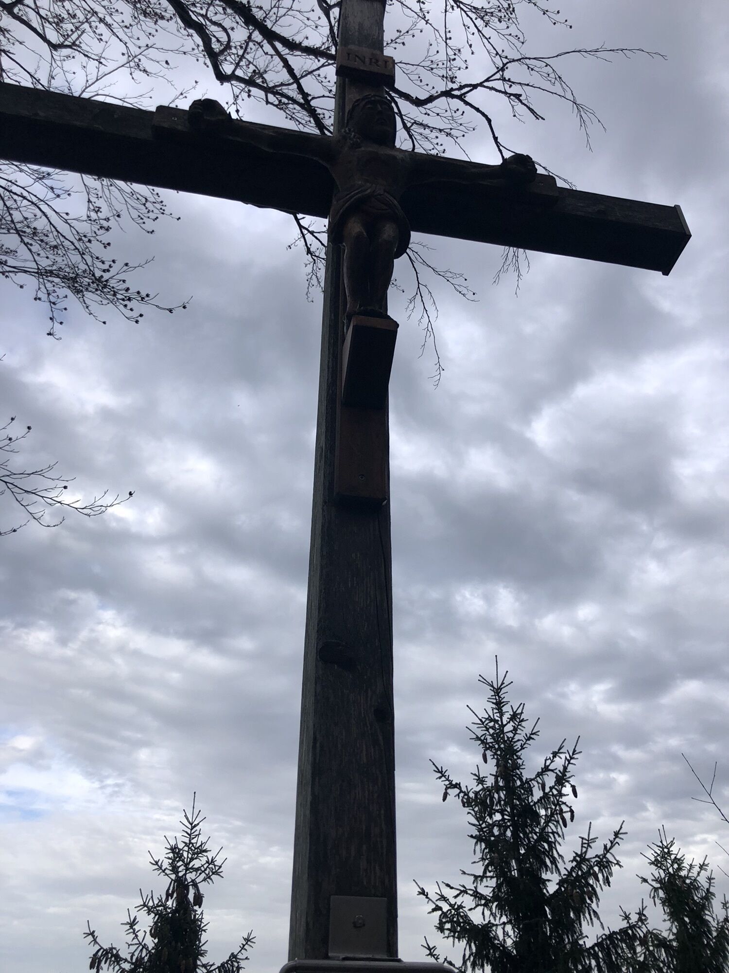
 © Erich KoutniUstvarjeno na 04.11.2025
 © Hari SchrittwieserUstvarjeno na 04.10.2025
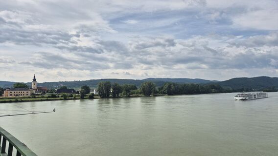
 © Claudia MaurerUstvarjeno na 16.07.2025
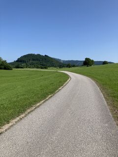
 © Franz FahrngruberUstvarjeno na 12.06.2025
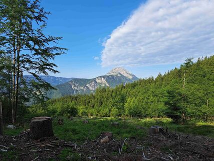
 © Daniel WagnerUstvarjeno na 06.06.2025
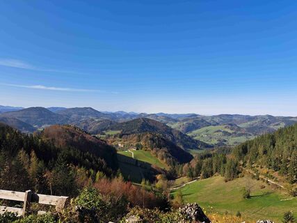 © Daniel WagnerUstvarjeno na 27.10.2024
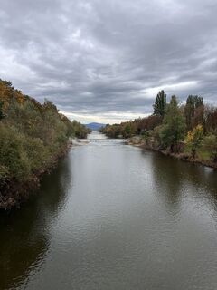
 © Sweet I‘mUstvarjeno na 13.10.2024
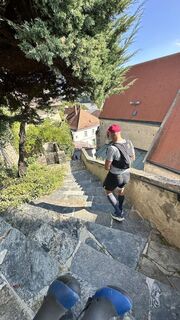
 © Richard DietzeUstvarjeno na 21.09.2024
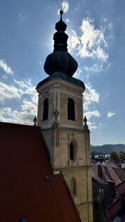 © Richard DietzeUstvarjeno na 21.09.2024
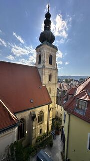 © Richard DietzeUstvarjeno na 21.09.2024
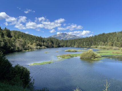 © Alfred FreiseisenUstvarjeno na 07.09.2024
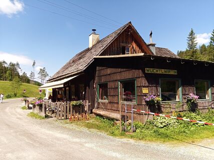
 © Erwin KrumböckUstvarjeno na 08.06.2024
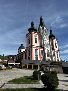
 © Alois HuberUstvarjeno na 14.04.2024
 © guenvollUstvarjeno na 08.04.2024
 © guenvollUstvarjeno na 08.04.2024
 © Lisset SvejkosvkyUstvarjeno na 07.10.2023
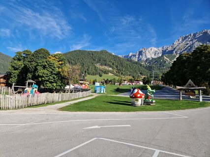 © Lisset SvejkosvkyUstvarjeno na 07.10.2023
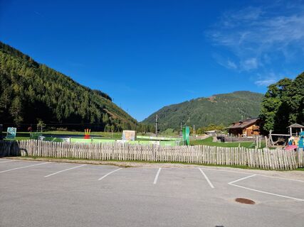 © Lisset SvejkosvkyUstvarjeno na 07.10.2023
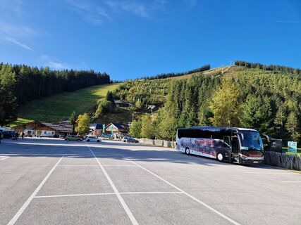 © Lisset SvejkosvkyUstvarjeno na 07.10.2023
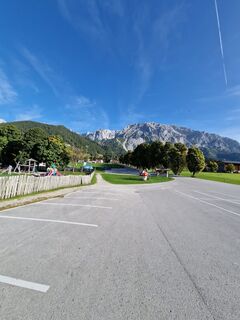 © Lisset SvejkosvkyUstvarjeno na 07.10.2023
 © G.A.Ustvarjeno na 18.06.2023
 © G.A.Ustvarjeno na 18.06.2023
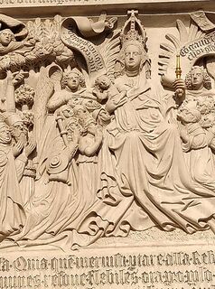 © G.A.Ustvarjeno na 18.06.2023
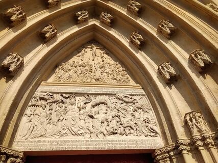 © G.A.Ustvarjeno na 18.06.2023
 © G.A.Ustvarjeno na 18.06.2023
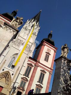 © G.A.Ustvarjeno na 18.06.2023
 © G.A.Ustvarjeno na 18.06.2023
 © G.A.Ustvarjeno na 18.06.2023
 © G.A.Ustvarjeno na 18.06.2023
 © G.A.Ustvarjeno na 18.06.2023
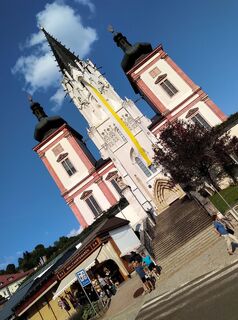 © G.A.Ustvarjeno na 18.06.2023
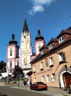 © G.A.Ustvarjeno na 18.06.2023
 © G.A.Ustvarjeno na 18.06.2023
 © Harald FertnerUstvarjeno na 01.06.2023
 © Christian KakuskaUstvarjeno na 05.03.2023
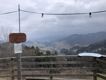 © Christian KakuskaUstvarjeno na 05.03.2023
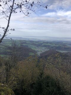 © Carina PfeifferUstvarjeno na 29.10.2022
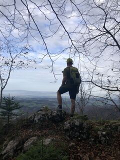 © Carina PfeifferUstvarjeno na 29.10.2022
 © Carina PfeifferUstvarjeno na 29.10.2022
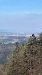
 © erwinsoUstvarjeno na 11.04.2026
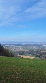 © erwinsoUstvarjeno na 11.04.2026
 © MimiUstvarjeno na 05.04.2026
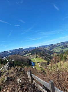 © MimiUstvarjeno na 05.04.2026


The first part from Krems through the vineyards of the lower Traisental offers numerous places to stop for refreshments as well as some natural surprises. From the provincial capital of St. Pölten, the...
The first part from Krems through the vineyards of the lower Traisental offers numerous places to stop for refreshments as well as some natural surprises. From the provincial capital of St. Pölten, the tour leads along the Traisental cycle route and the ascent to Rudolfshöhe adds a few more meters in altitude. Back in the Traisental, you cross over the Kaiserkogel into the Dirndl Valley, which is now crossed from north to south with numerous climbs, some of which should not be underestimated, on the various MTB trekking routes of the municipalities.
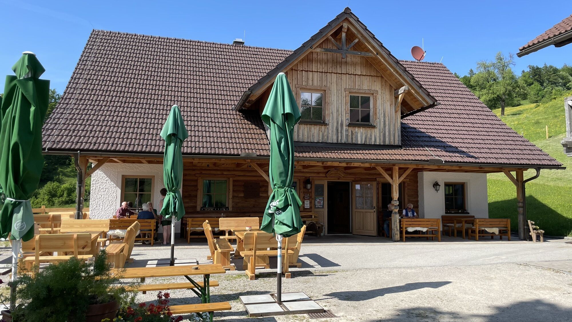
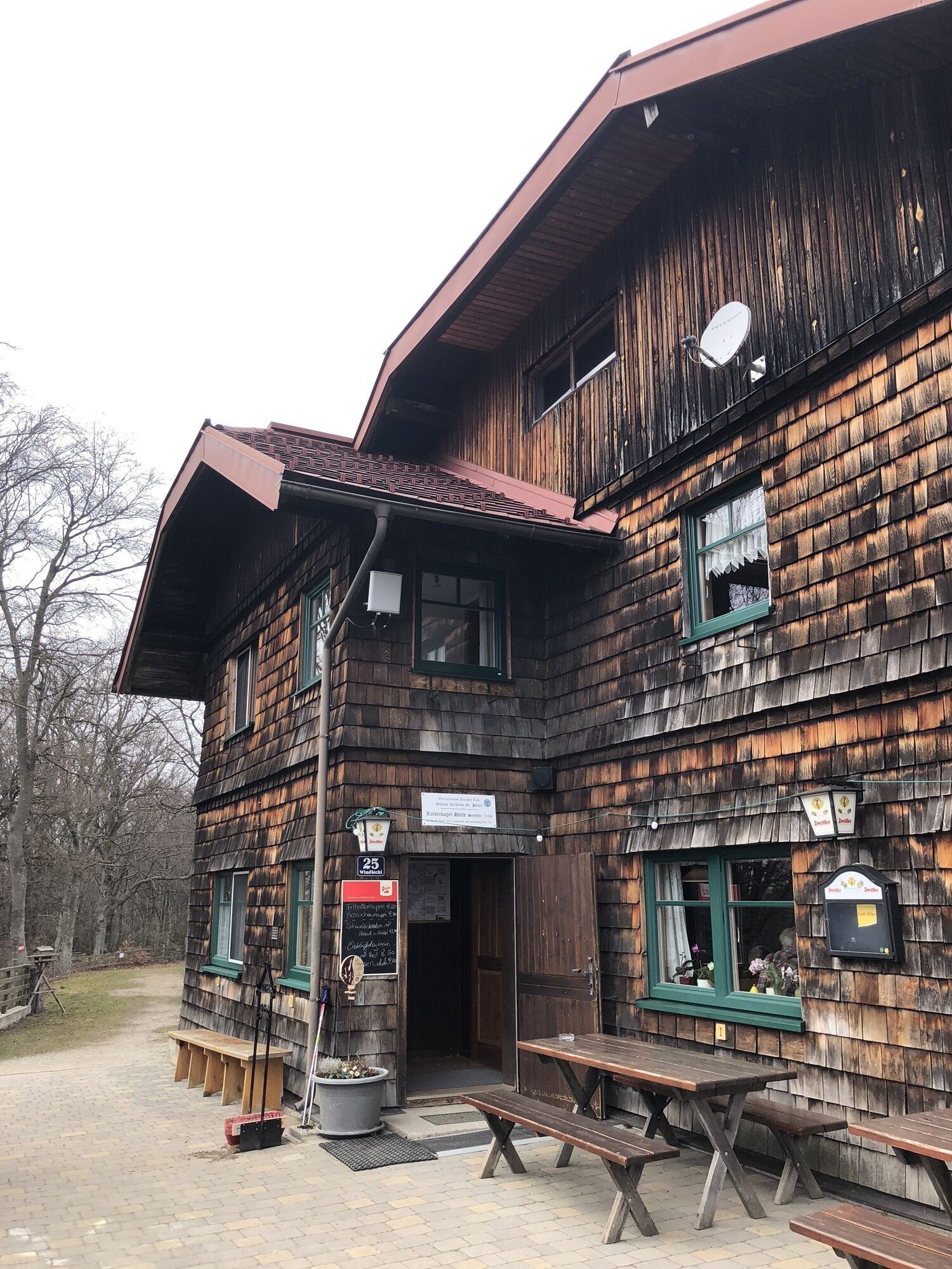
The Josef-Franz-Hut on the Geisbühel offers a nice opportunity for a rest (and at weekends also for an overnight stay!) and a taste of one or two Dirndl products. The gently undulating Alpine foothills are now replaced by more alpine terrain.
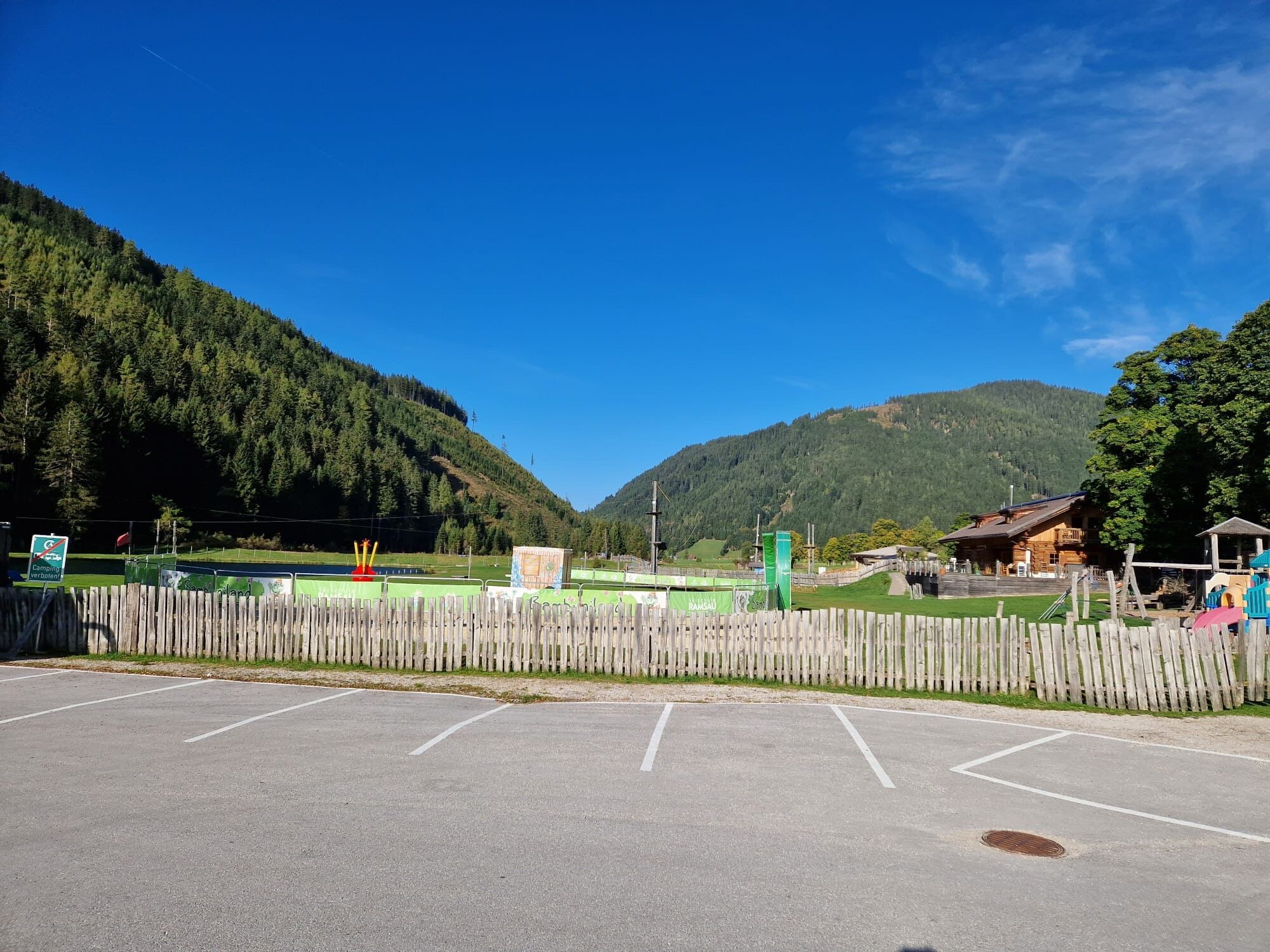
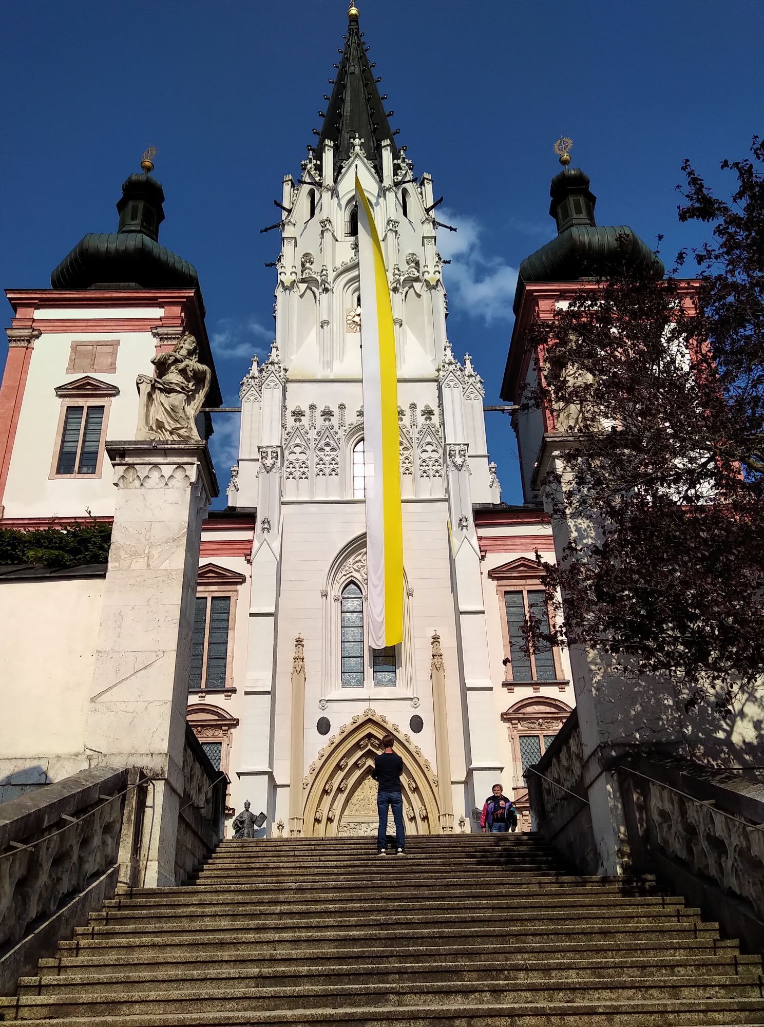
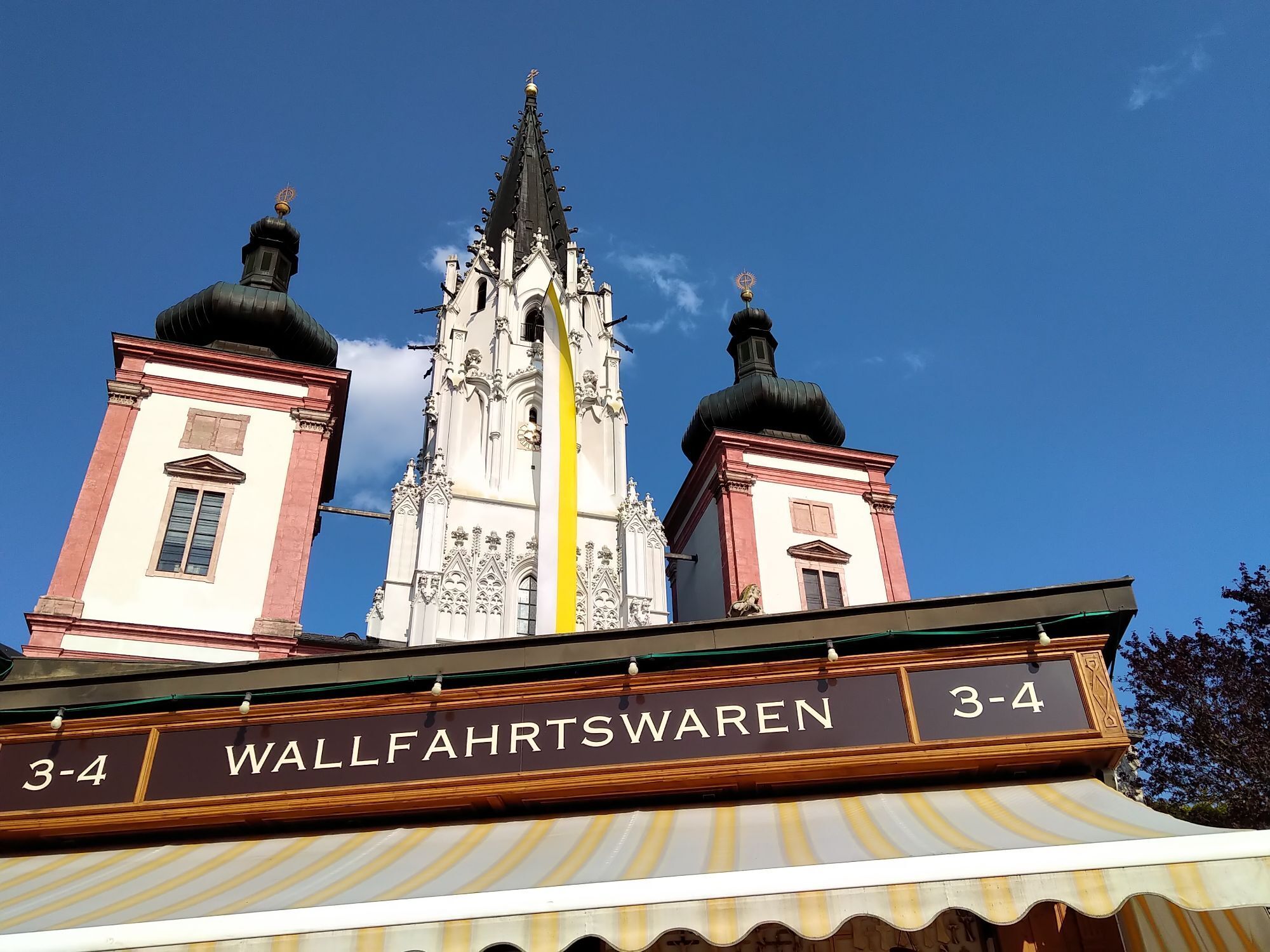
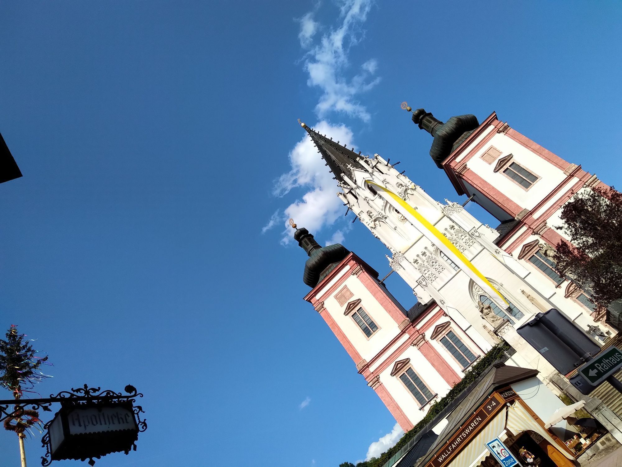
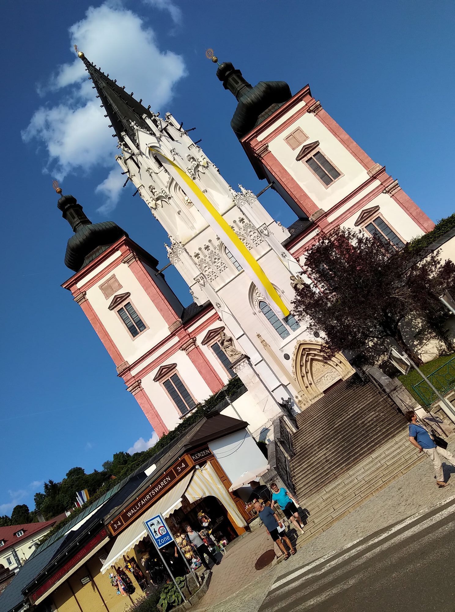
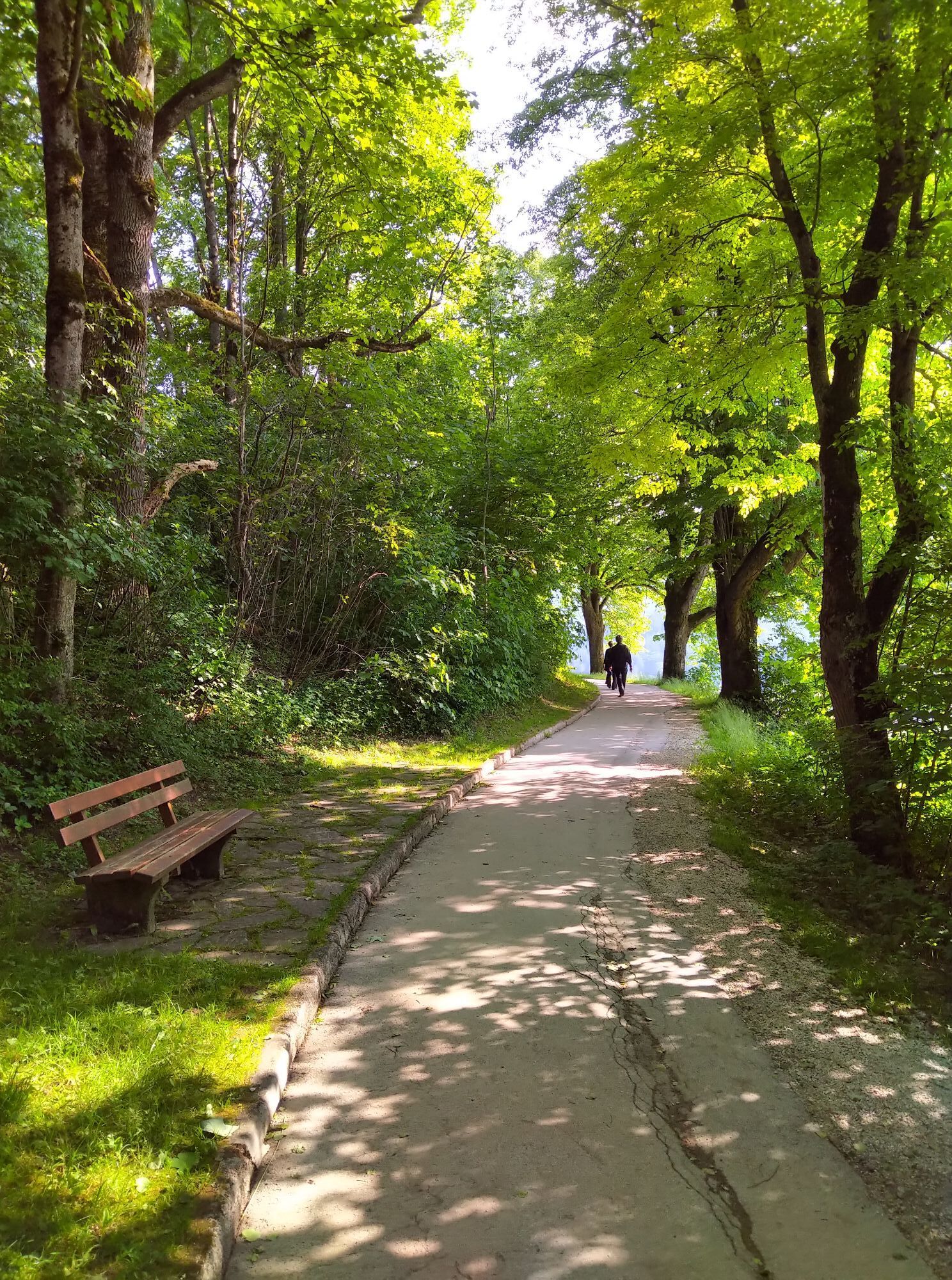
From Puchenstuben, the tour runs through the Ötscher-Tormäuer Nature Park with absolute natural highlights of forest and water, before rolling comfortably to the finish at the famous Mariazell pilgrimage church.

From Krems main station, follow the Danube cycle path upstream out of town to Mautern - there cross the bridge or the Danube. From Mautern on side roads to Furth and further over a prolonged first ascent at the foot of Göttweig Abbey. On quiet side roads, continue over Eggendorf and Höbenbach to just before Theyern, where you continue on the Paraplui route (MTB trekking route) in the opposite direction. You go up to Paraplui mountain and from there continue on the "Water to Wine Tour", also in the opposite signposted direction. Passing through Inzersdorf ob der Traisen, past Walpersdorf Castle to Ederding, where you switch to the "Herzogenburg grapevine louse tour" and follow it (again opposite) to Herzogenburg to the Traisen valley cycle path. Leisurely cycling upstream along the river to the state capital St. Pölten.
In St. Pölten, follow the signposting to the Traisen valley cycle path (about 1.5 km). The first kilometers lead now flat upstream along the Traisen on the cycle path heading south and traffic-free out of the city. In Reith near Wilhelmsburg, turn against the signposting onto the "Sagenstein tour" to the first quite steep (!) ascent to Rudolfshöhe with the first refreshment possibility at Ochsenburger hut.
Back in the valley at Wilhelmsburg, follow another flat kilometers on the Traisen valley cycle path before turning right in Rotheau and a few kilometers later again right opposite the "Kaiserkogel round". Over Meiselhöhe, you climb the Kaiserkogel including the associated hut and roll down against the "Kaiserkogel trail" into the Pielach valley to Rabenstein.
The next section runs against part of the "Geisbühel route", where at the top a short out and back section to the Josef-Franz hut makes a worthwhile detour with refreshment and - on weekends - overnight accommodation. Descent to Tradigist and there sharp left onto the "Dörfl on the Eben route" (again wrong direction) to just before Kirchberg.
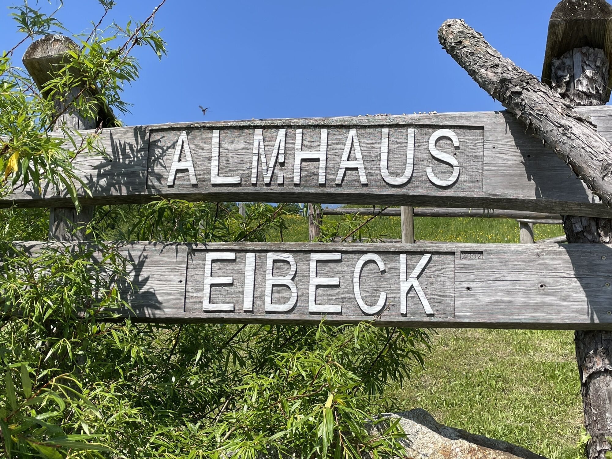
Then follow the "Loicher panorama tour" (in the "correct" direction) to the Günter chapel near Wallerbach. There turn left down into the valley and at the L102 turn left again towards Schwarzenbach. Some kilometers downstream to the junction right into the Taschlgrabenrotte and at Waitzgraben turn into the "Eibeck round" and follow its signposting in riding direction. Past the Eibeck Alm, the route continues until you turn left in Wies onto the "Frankenfelsberg round" (wrong), to Laubenbachgegend.
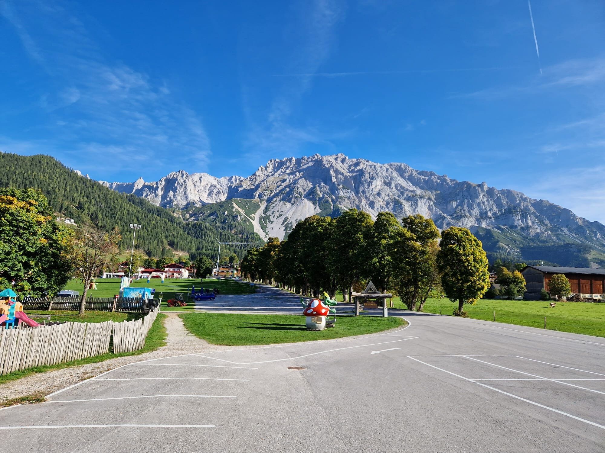
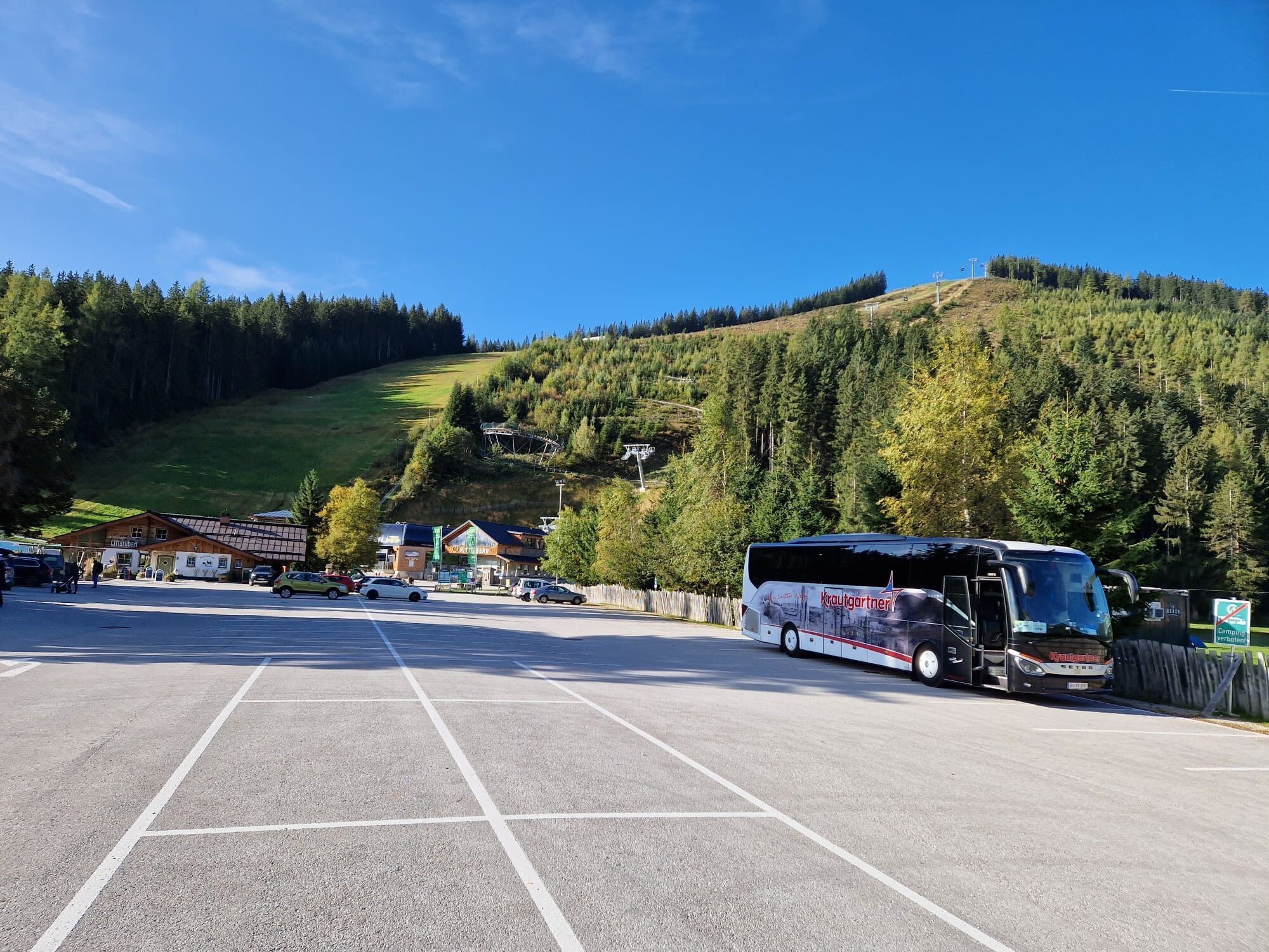
The "Mariazellerbahn route" begins and/or ends directly at Laubenbachmühle station and starts in this direction with the longer, but not too steep ascent over Puchenstuben towards Turmkogel and Wastl am Wald. From now on you are in the Ötscher-Tormäuer Nature Park amid beautiful forest scenery and with nice views of the Ötscher "from behind". Passing through the dreamy Gösing, continue to Reith from where you come over a short section of the "Ötscher trekking route" and a short ascent up to Annaberg.
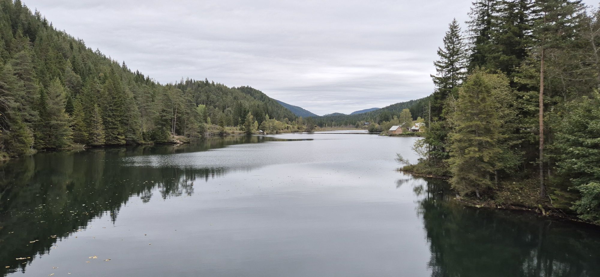
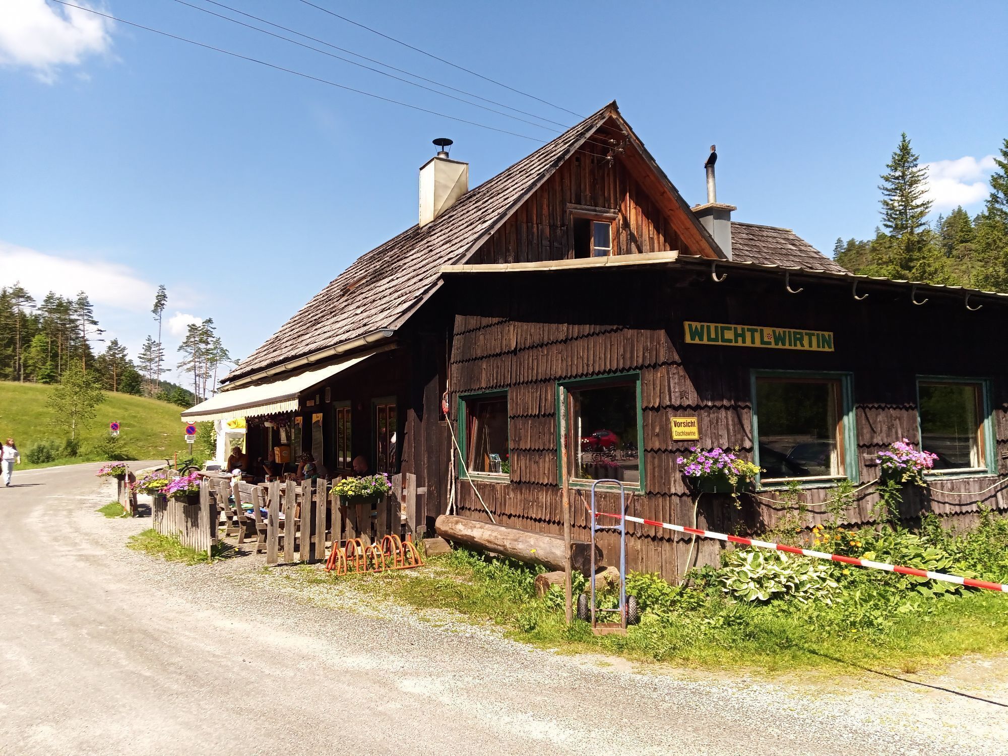
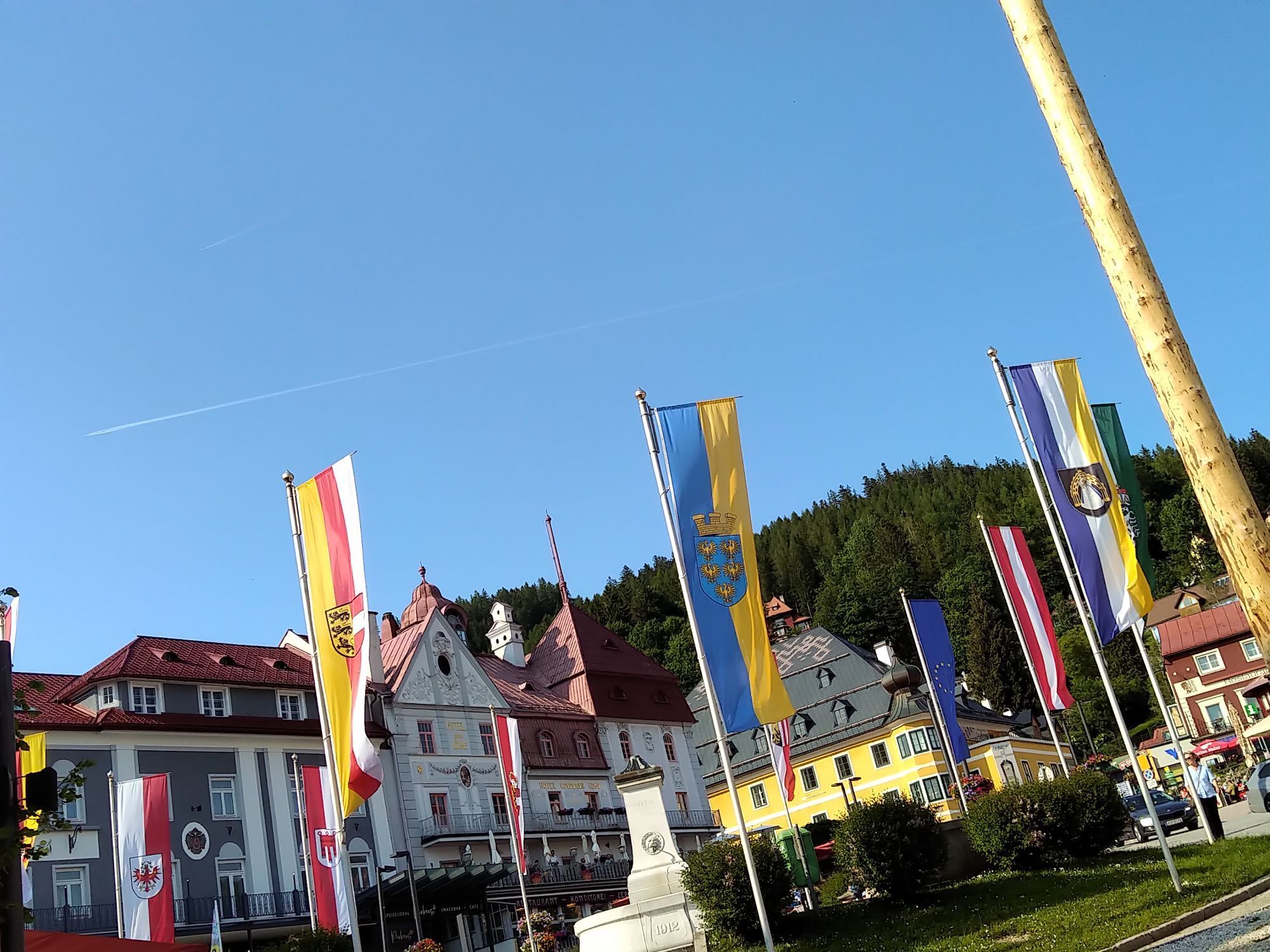
Continue on the "Annaberg-Hubertussee route" (in the signposted direction) - over the Walster origin and Ulreichsberg to the rustic Wuchtl hostess near the idyllic Hubertus lake. Via Fadental, you reach Mitterbach to the last natural highlight including numerous refreshment options - the crystal clear and wonderfully refreshing Erlauf lake. From there only a few more kilometers to the finish at Mariazell in front of the famous pilgrimage basilica.
MTB hardtail or off-road MTB trekking bike
Please observe the Biker Fair Play Rules including the official usage times of the MTB trails. Beware of oncoming bikers when the route goes against the signposted direction of the respective MTB trekking tour.
ÖBB to Krems main station
Mariazell Railway from Mariazell (Himmelstreppe) return via St. Pölten
Bike transport possibly reservation required, + recommended
Mostviertel Tourism GmbH
Neubruck 2/10, 3270 Scheibbs
www.mostviertel.at
info@mostviertel.at
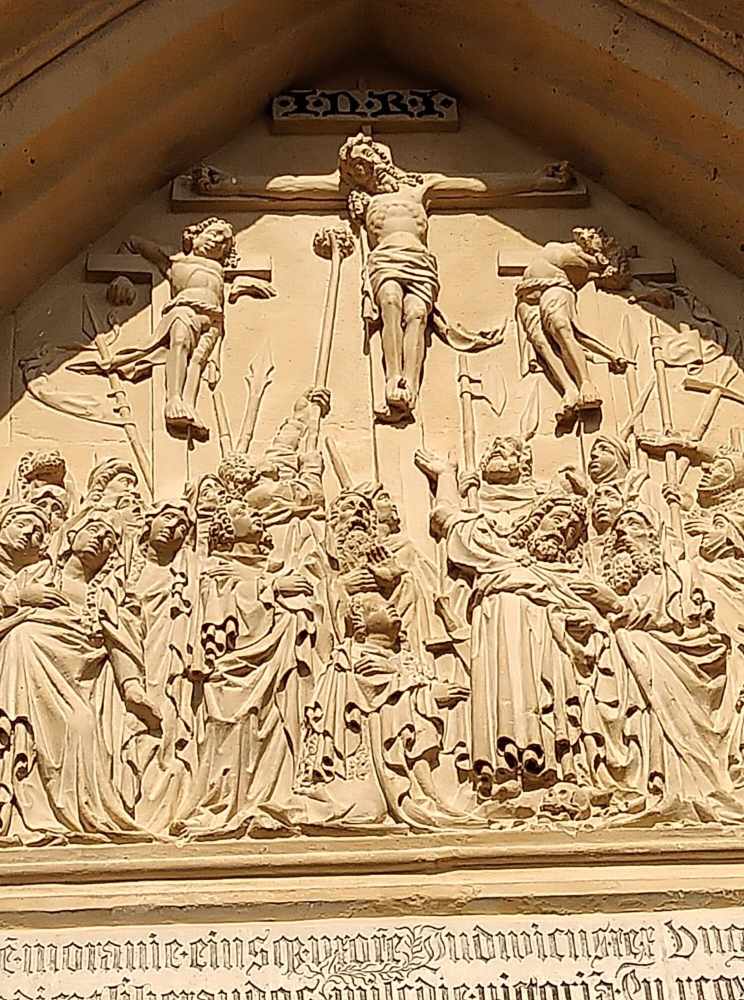
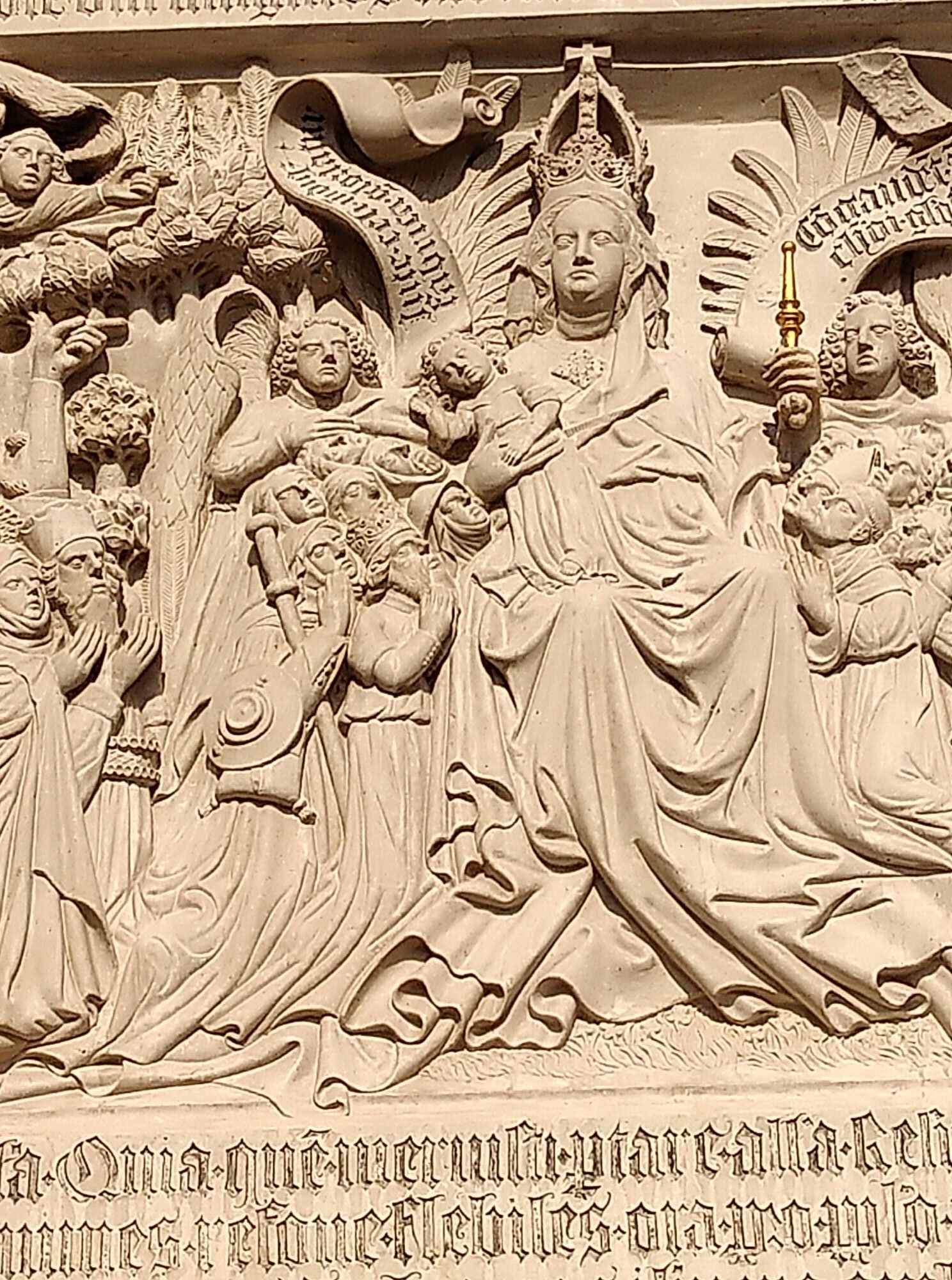
Take time for the small and large sights! Landesgalerie Krems, Cathedral St. Pölten, Kirchberg Castle, Dirndl manufactory, Ötscher base, Basilica and much more.
Spletne kamere s turneje
Mariazeller Bürgeralpe - Berggasthof
Zuckerwiese
Annaberg
Puchenstuben
Sternwarte
Mariazell
Gipfelbahn Bergstation
Gemeindealpe Mittelstation
Mittelstation Gemeindealpe
Gemeindealpe Talstation
Terzerhaus
Flugplatz St. Sebastian
Hennesteck Bergstation
Hennesteck Bergstation
Hennesteck Bergstation
Hennesteck Bergstation
Hennesteck Bergstation
Schloss Dürnstein
JUFA Sigmundsberg
Puchenstuben
Snowpark Gemeindealpe
Birkihang
Terzerhaus
Bürgeralpe - Kristallsee
Annaberger Haus am Tirolerkogel
Mariazeller Bürgeralpe - Berggasthof
Mariazell
Mariazell
Frankenfels
Feldbauer Mariazell
Terzerhaus
Mittelstation
Flugplatz Krems an der Donau
Mitterbach
Mariazell
Stapelhaus
Annaberg
Krems an der Donau
Krems an der Donau
Terzerhaus
Priljubljeni izleti v okolici
- 4.9
Hohenstein von Sois
srednjaPohodništvo 12.0 km - 4.8
LILIENFELD Grünes Tor Muckenkogel Hinteralm Klosteralm 20201025
srednjaPohodništvo 11.7 km - 4.6
Eisenstein Rundweg von Türnitz-Knedelhof
svetlobaPohodništvo 10.2 km - 4.3
Kaiserkogel mit Start und Ziel in Eschenau
svetlobaPohodništvo 10.2 km - 4.8
Schrambach Hohenstein Himmel Schrammbach 06.08.2016
srednjaPohodništvo 17 km - 4.8
Türnitz - Eisenstein Türnitz, Niederösterreich
srednjaPohodništvo 15.5 km - 4.3
Lilienfeld Kolm Hinteralm Traisenhütte 20.02.2017 leichte Schitour
svetlobaSmučarska tura 11 km - 4.4
Hohenstein 1195m - Sois im Pielachtal
svetlobaPohodništvo 10.6 km - 4.3
Lorenzipechkogel - Schneerosenwarte
srednjaPohodništvo 10.2 km - 4.0
Türnitz, Parkplatz Rodelbahn, Skitour auf das Eibl 09.01.2017
svetlobaSmučarska tura 5 km
Pohodništvo in sledenje


Ne zamudite ponudb in navdiha za naslednje počitnice
Vaš e-poštni naslov je bil dodan na poštni seznam.