







Pfalzau route

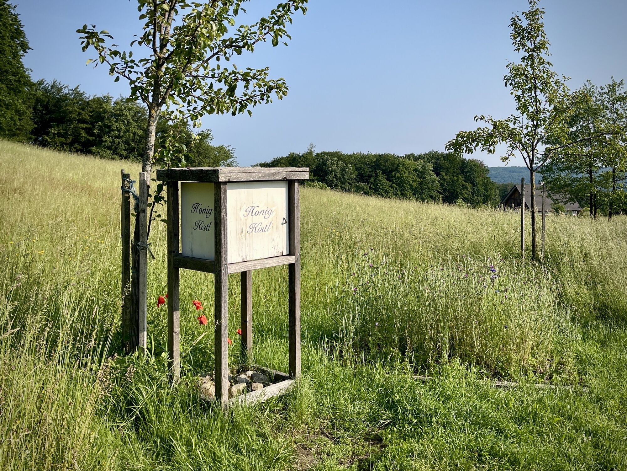

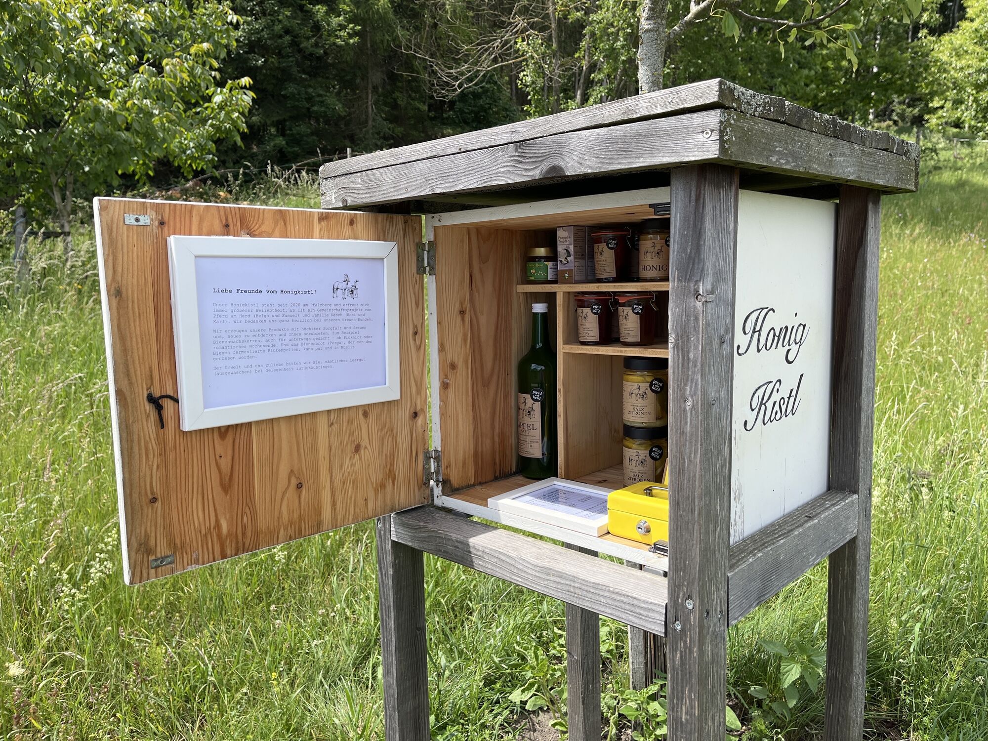
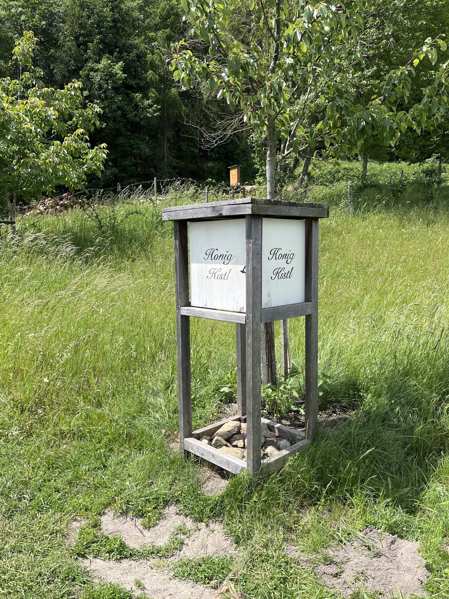
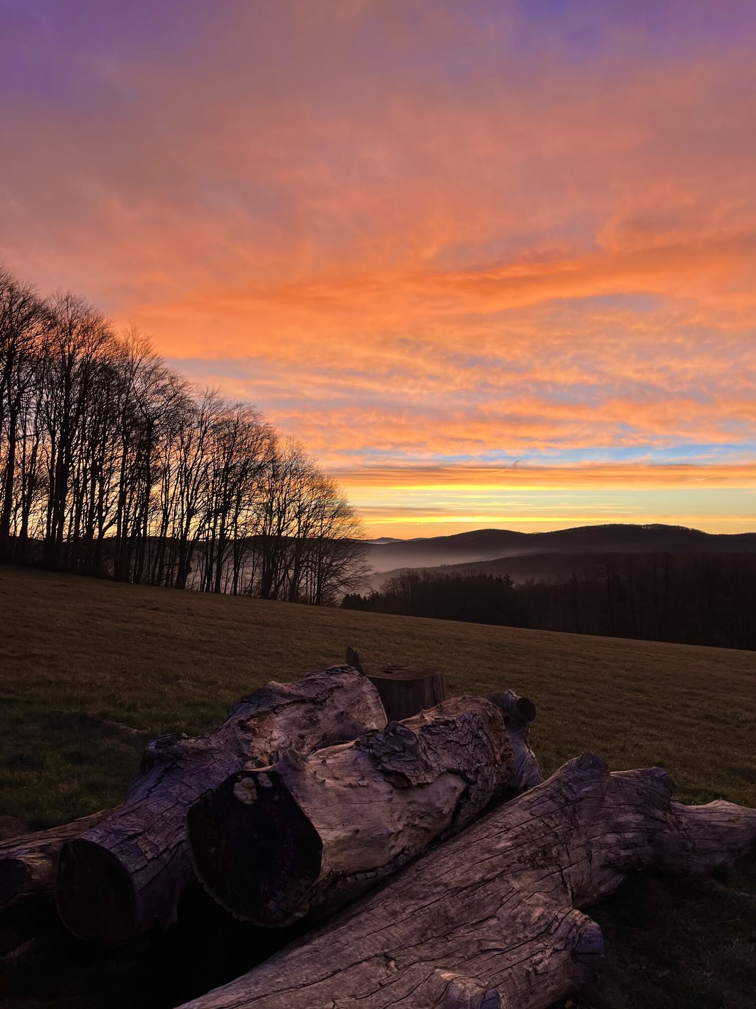
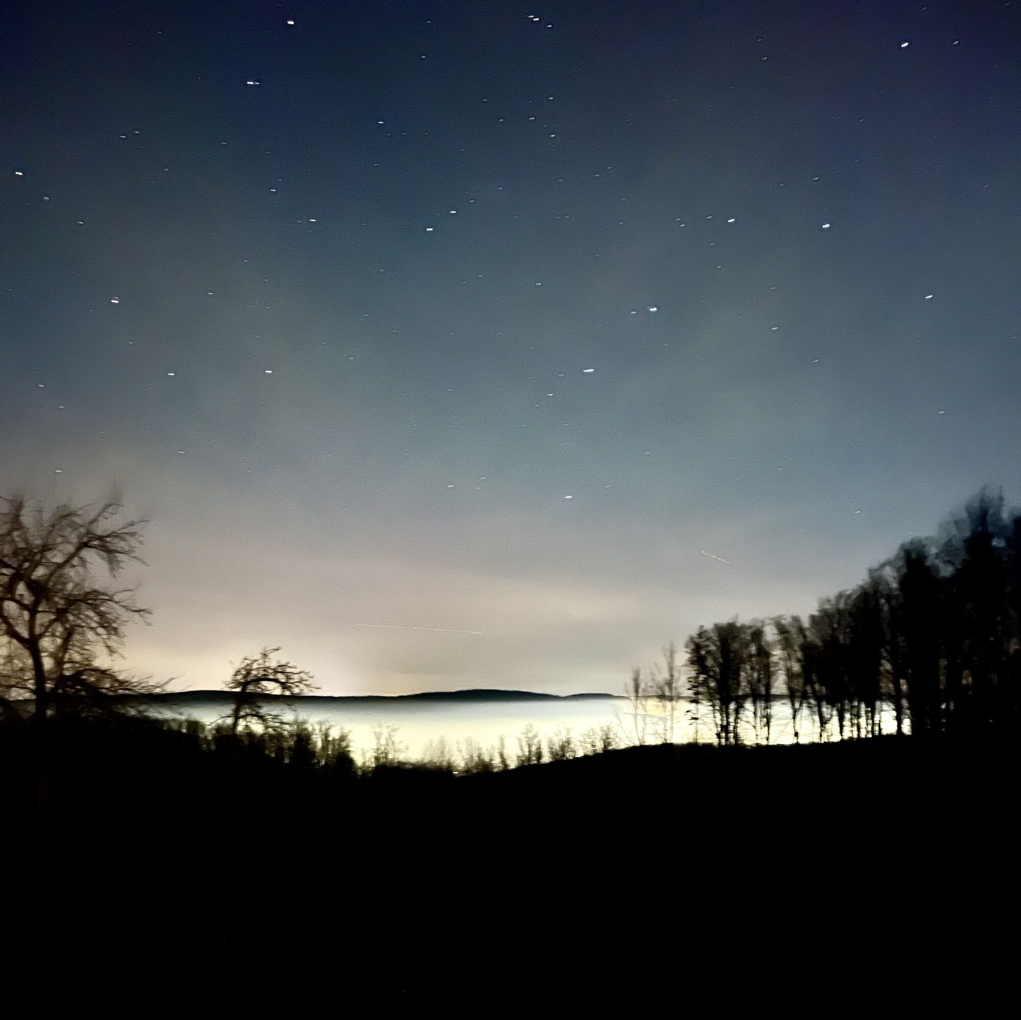
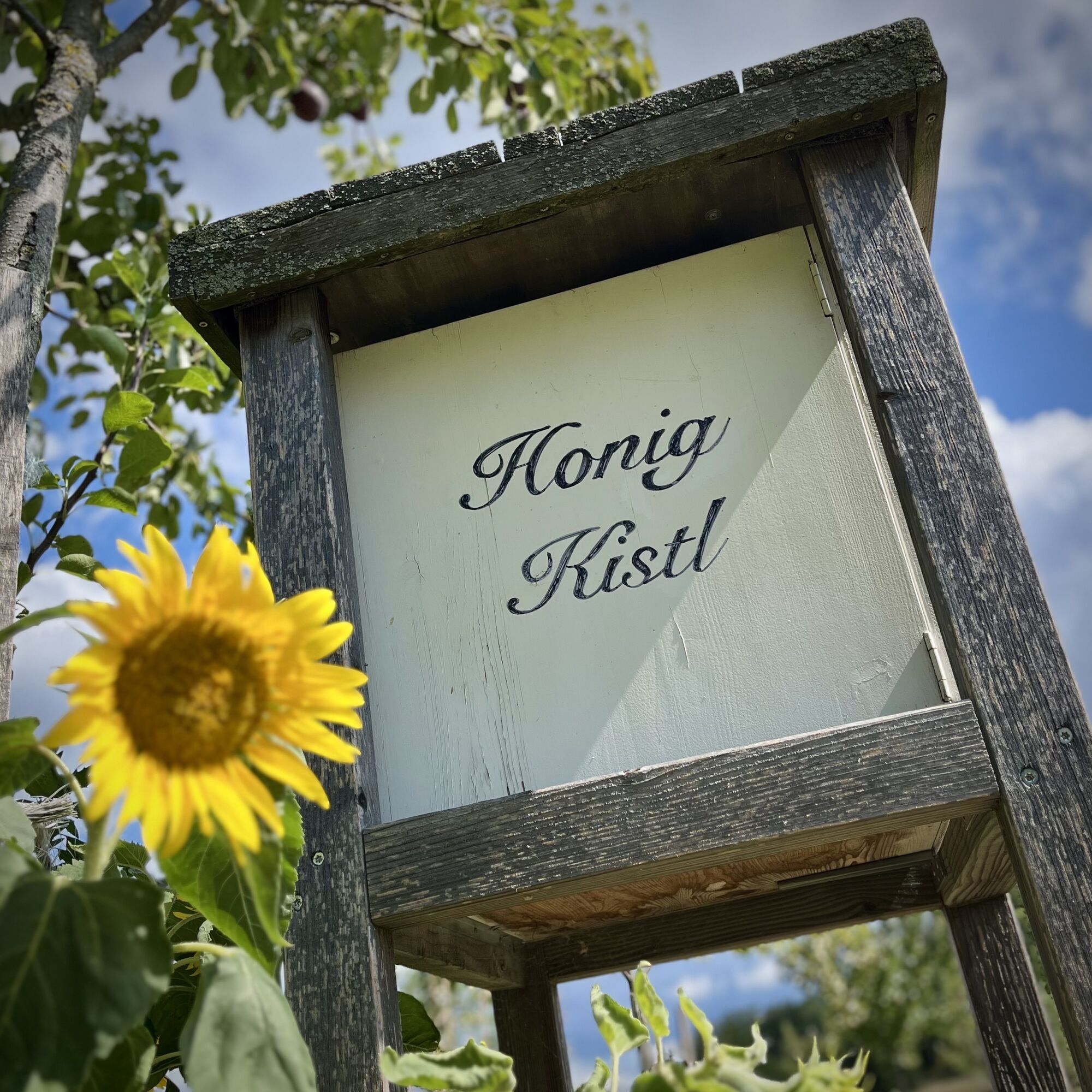
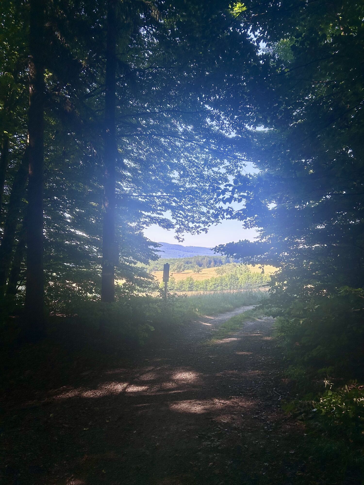
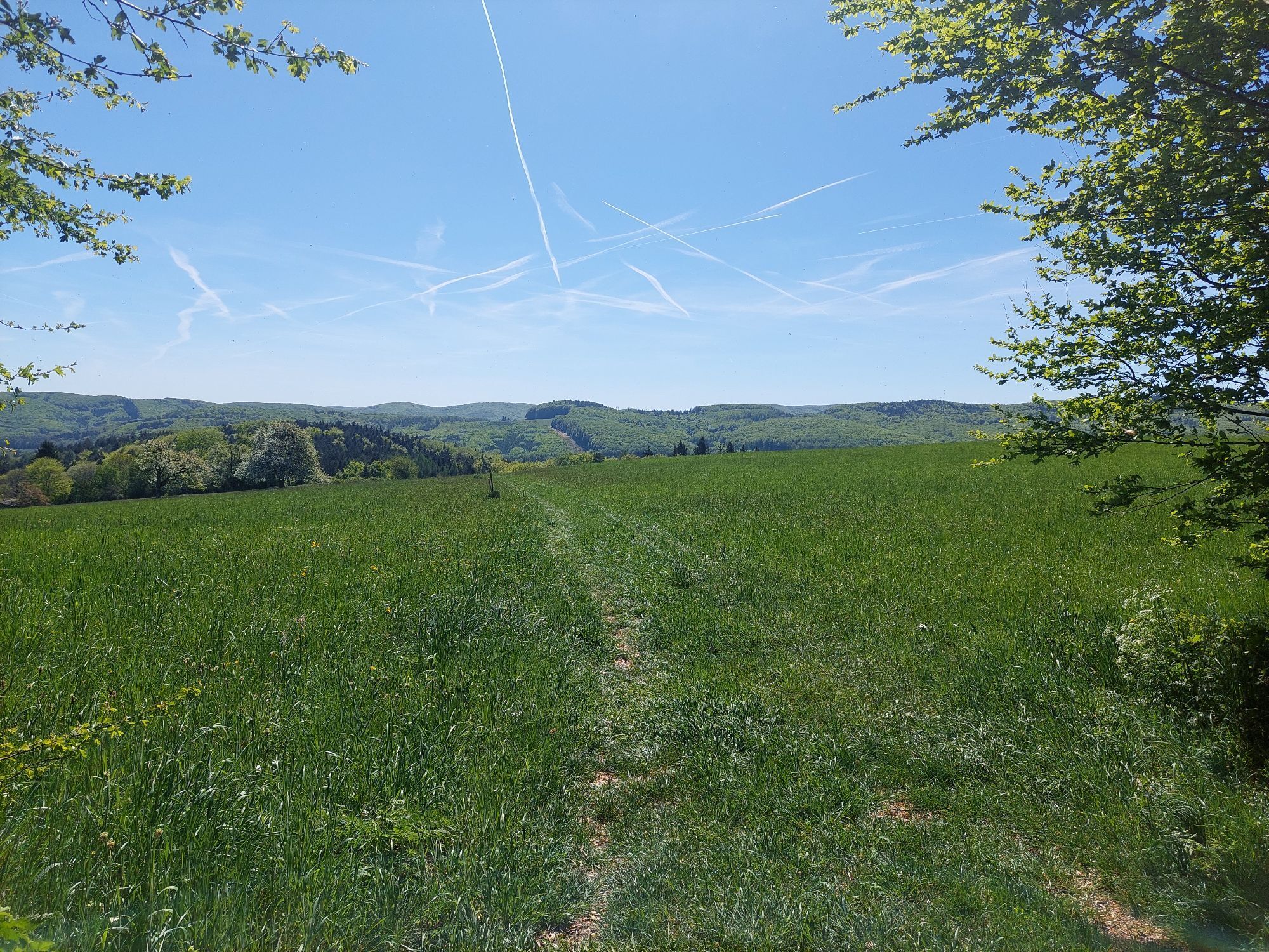
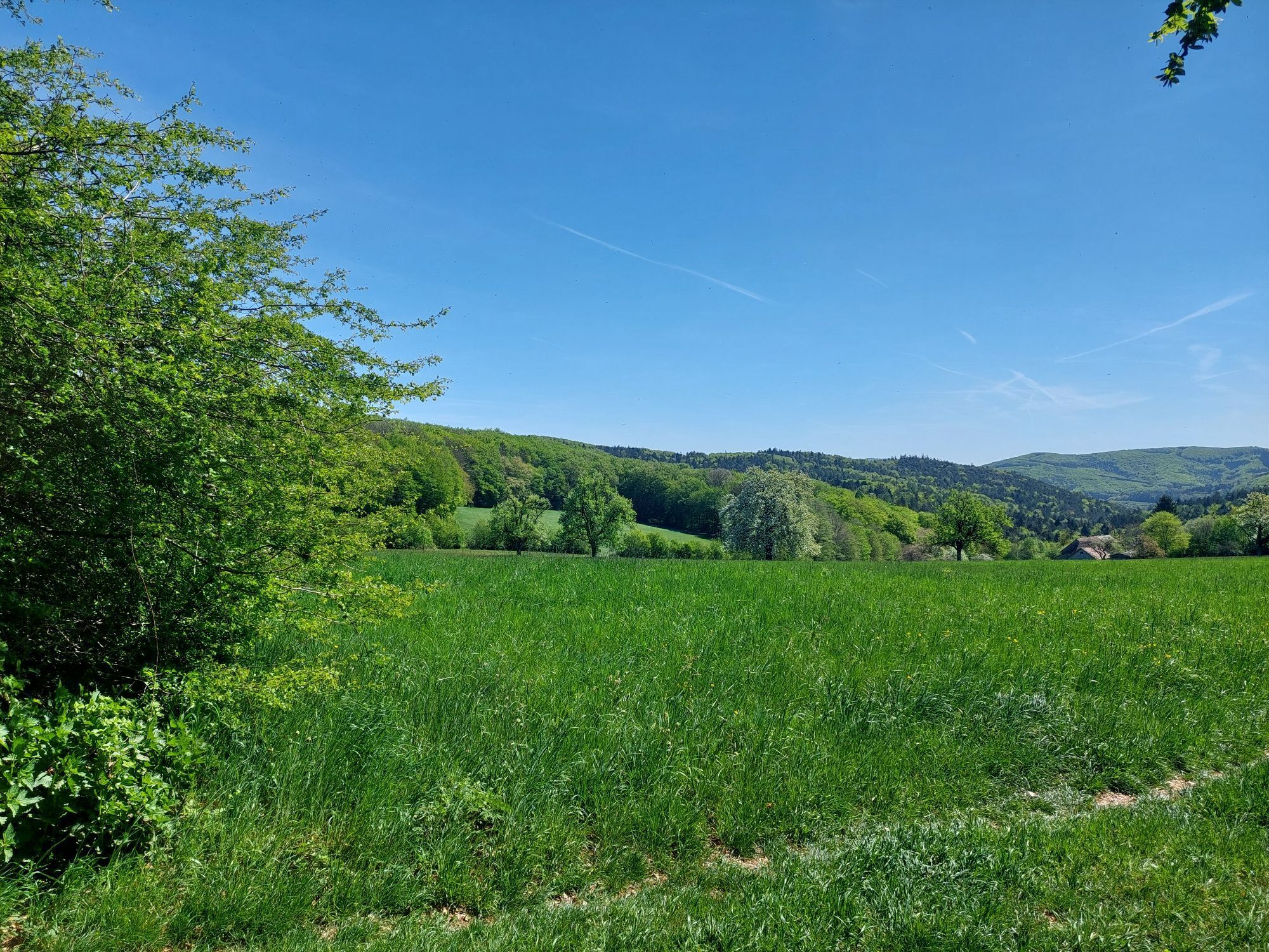
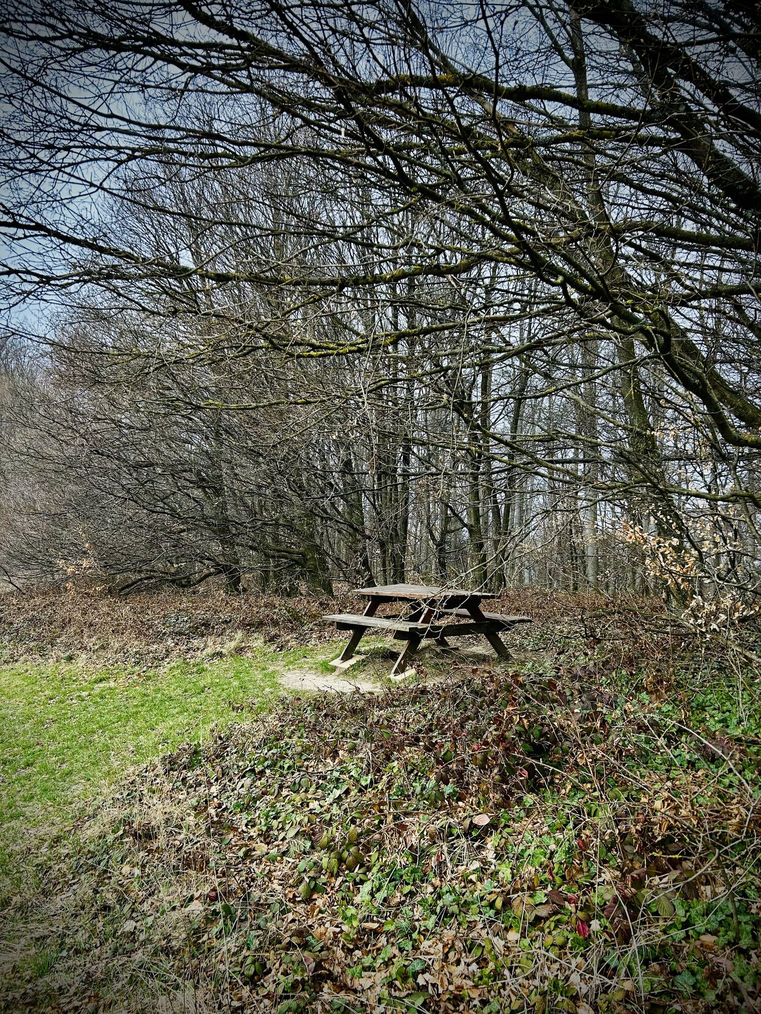
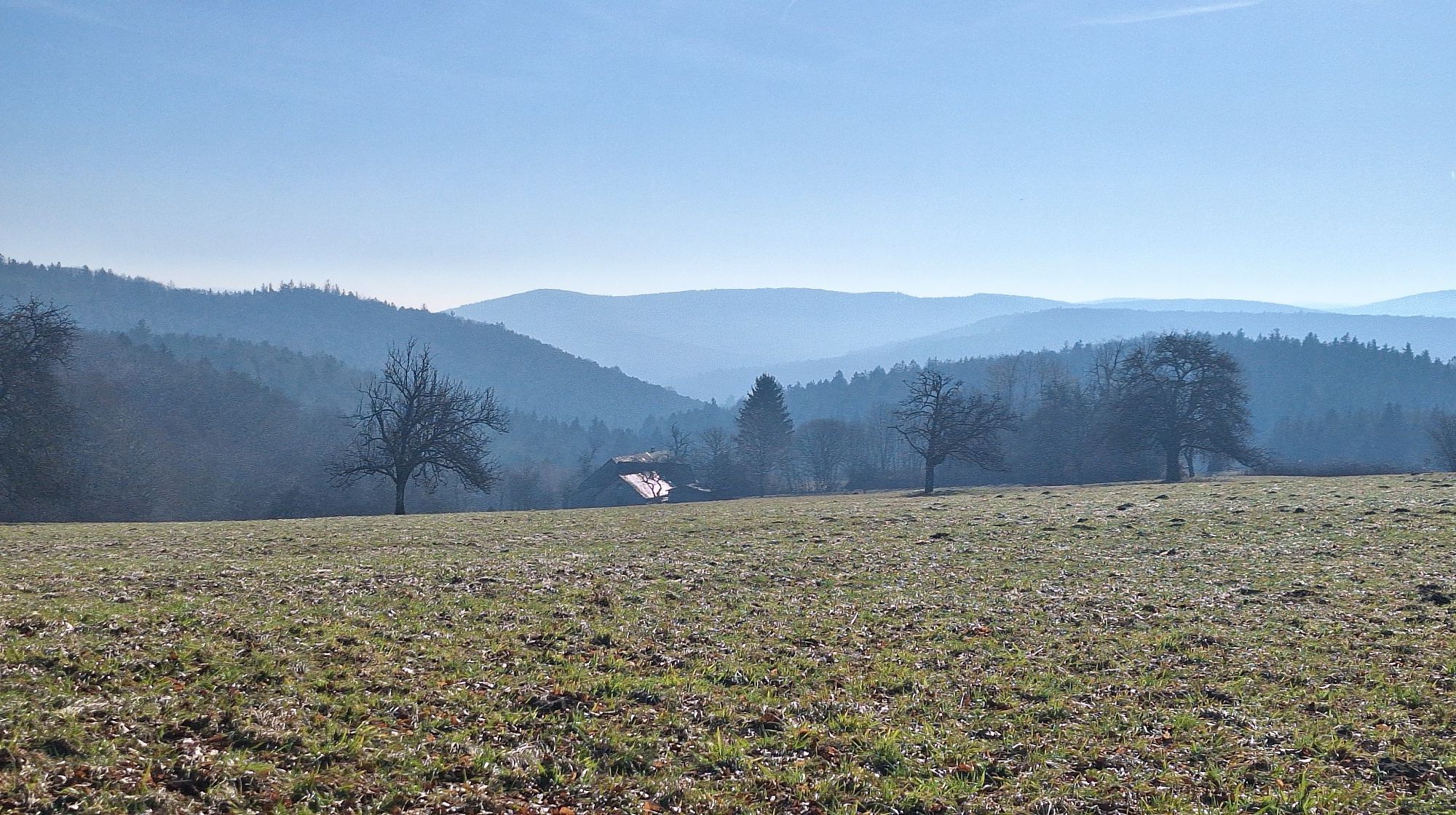
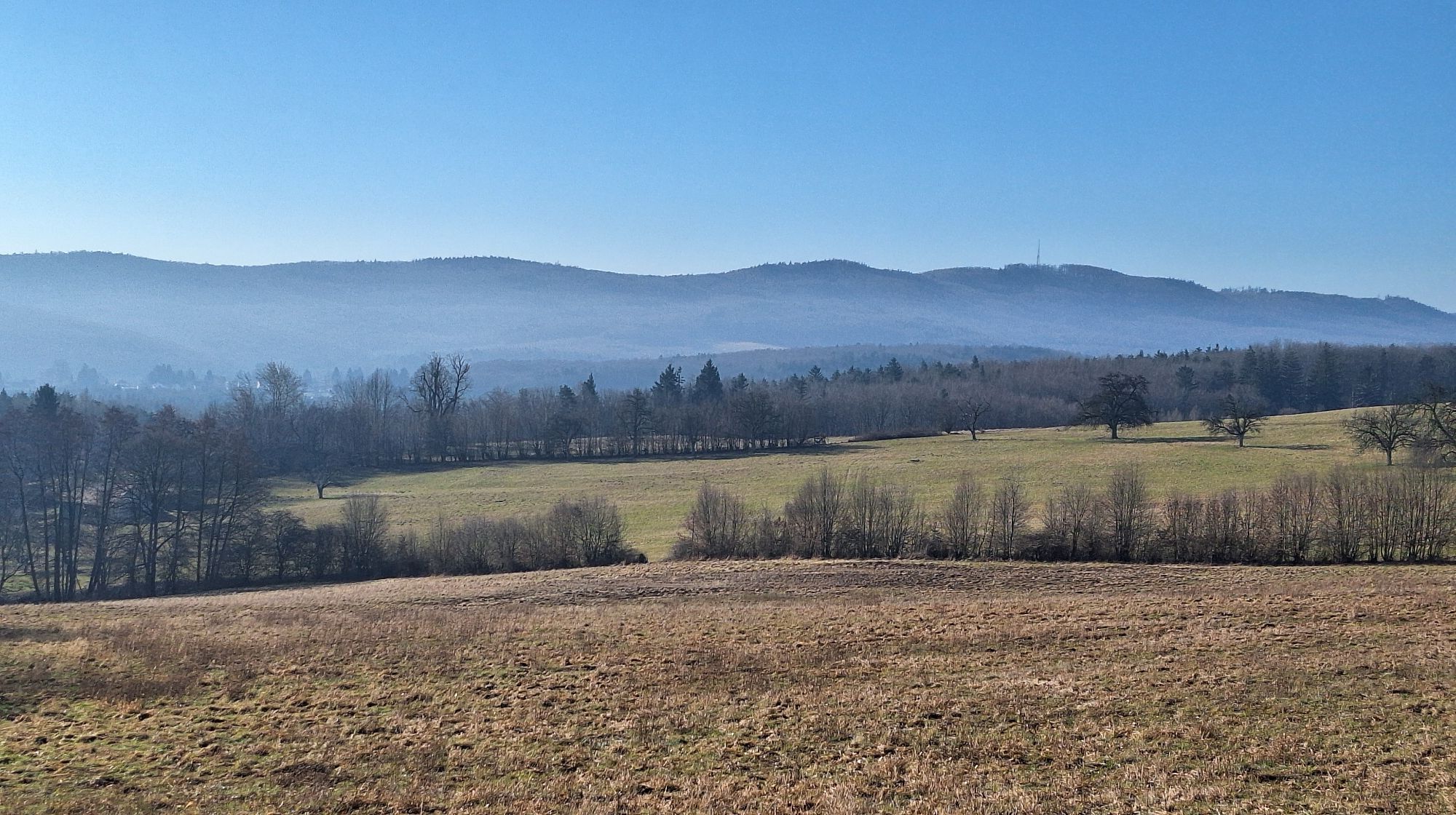
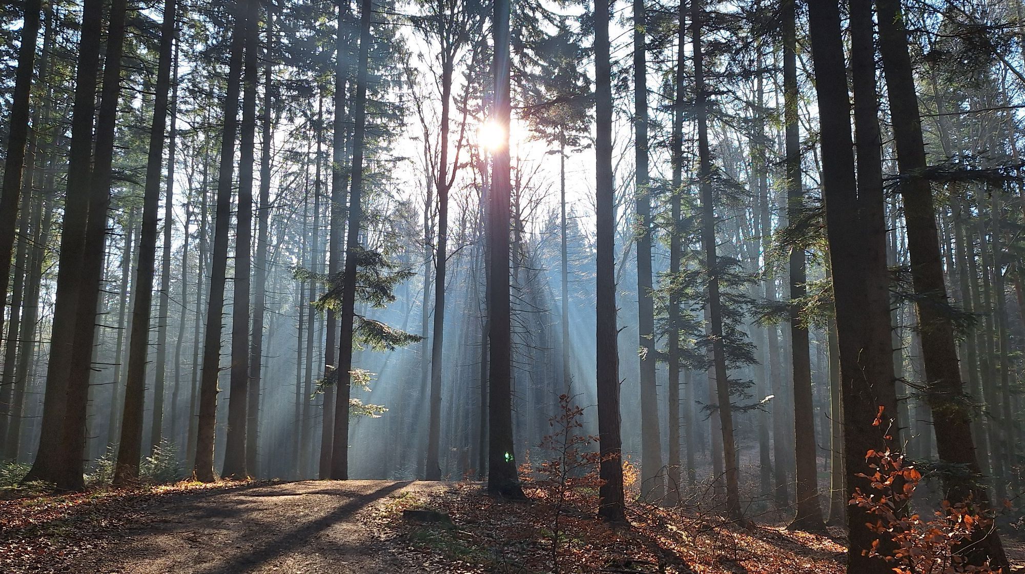
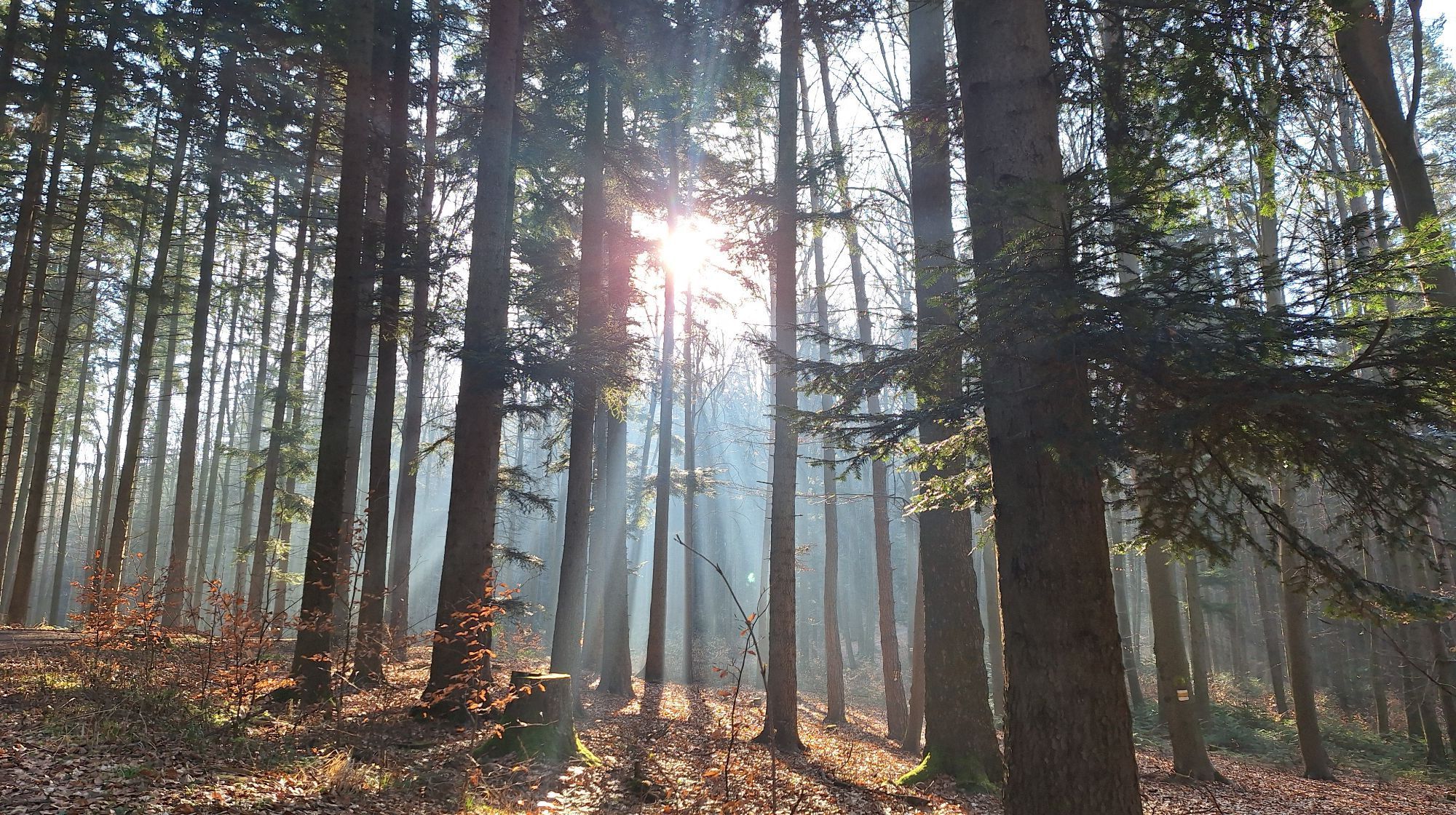
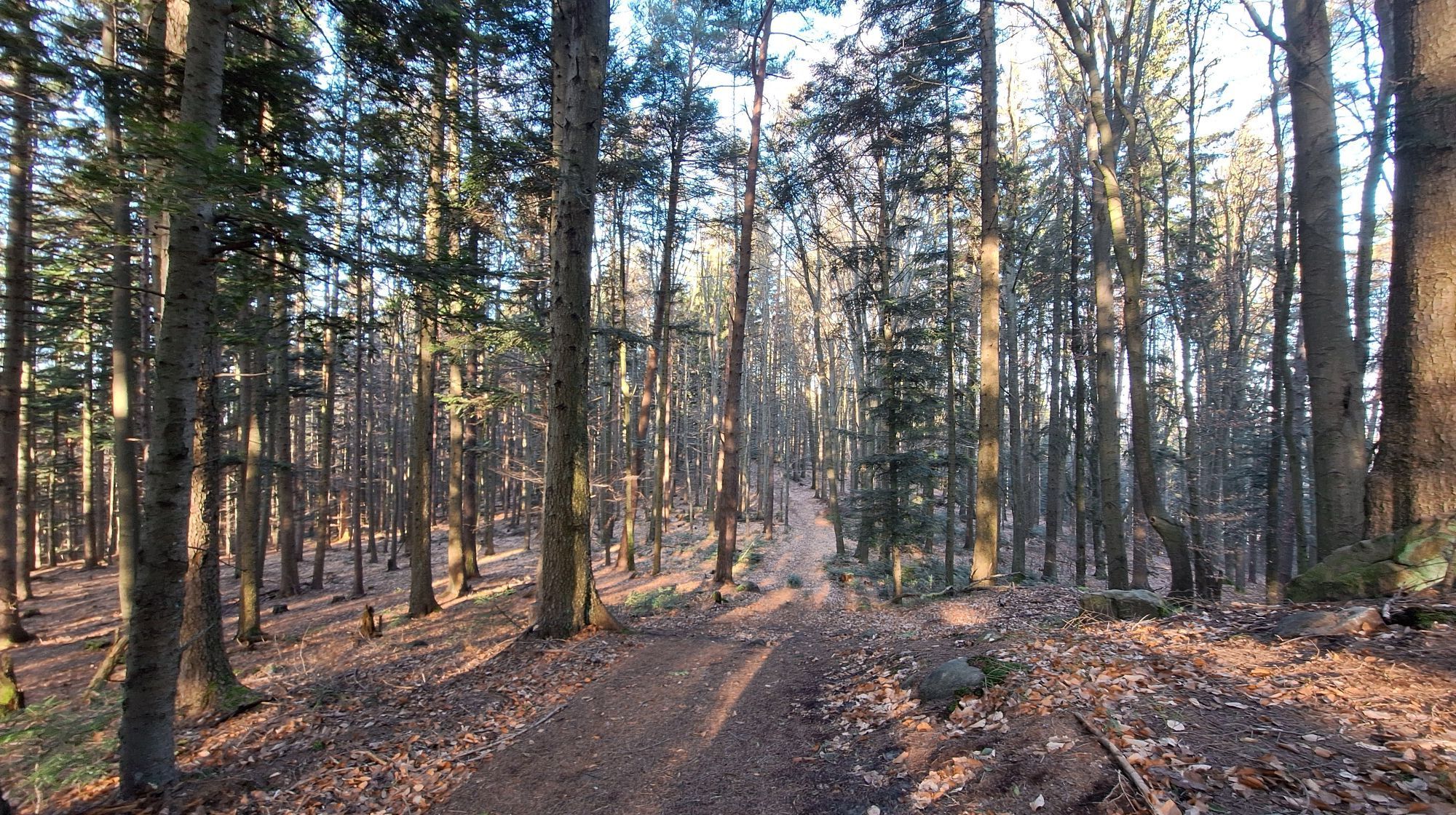
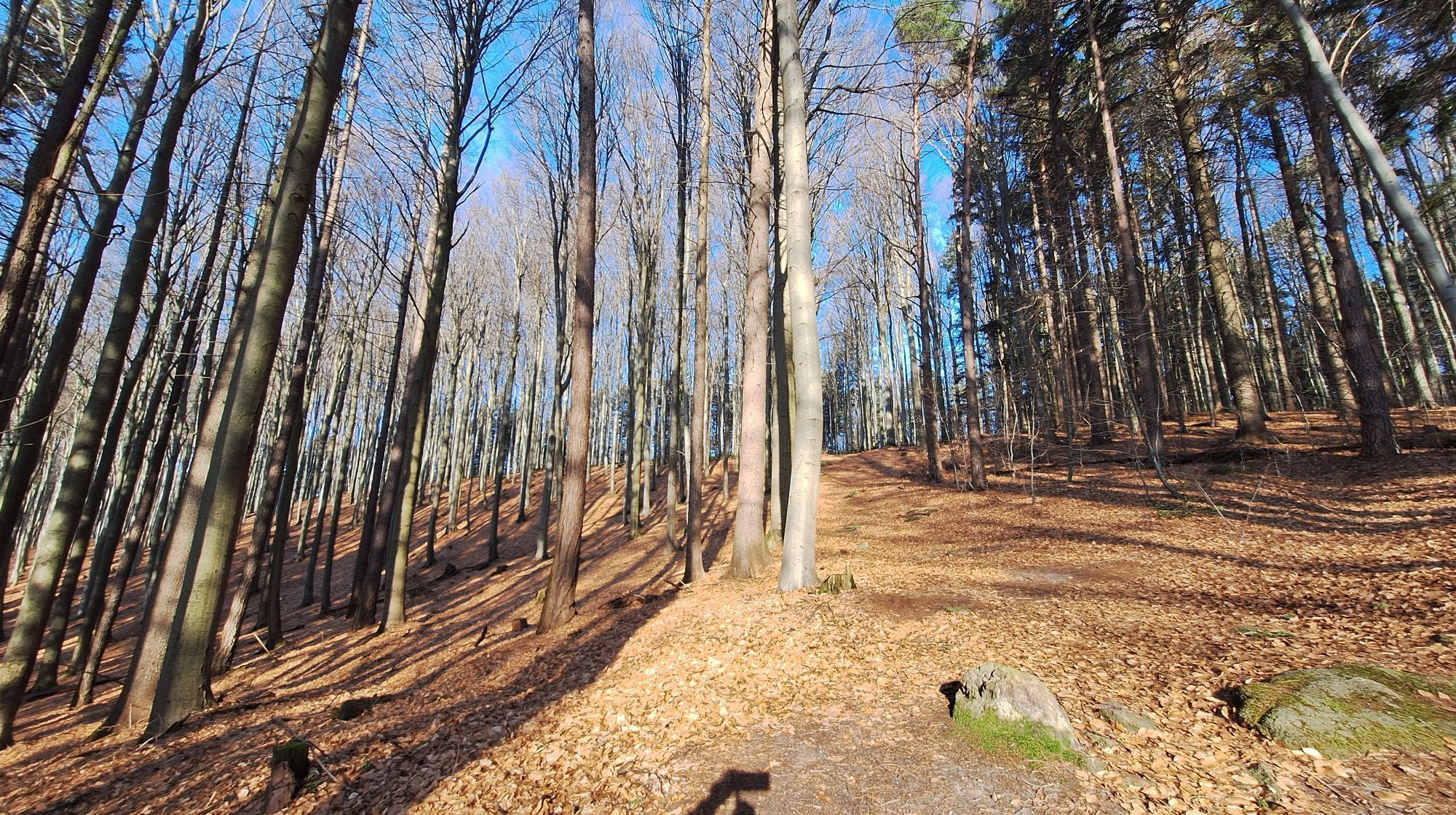
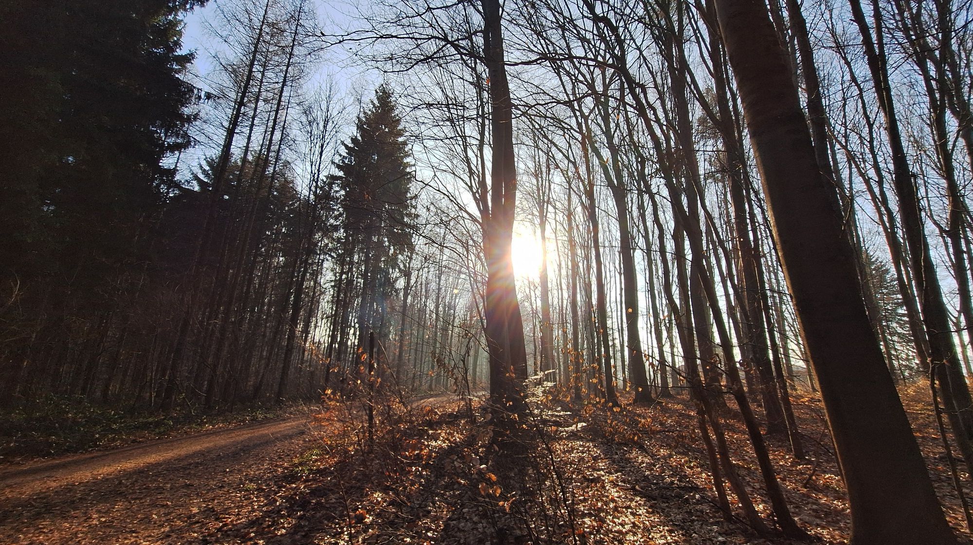
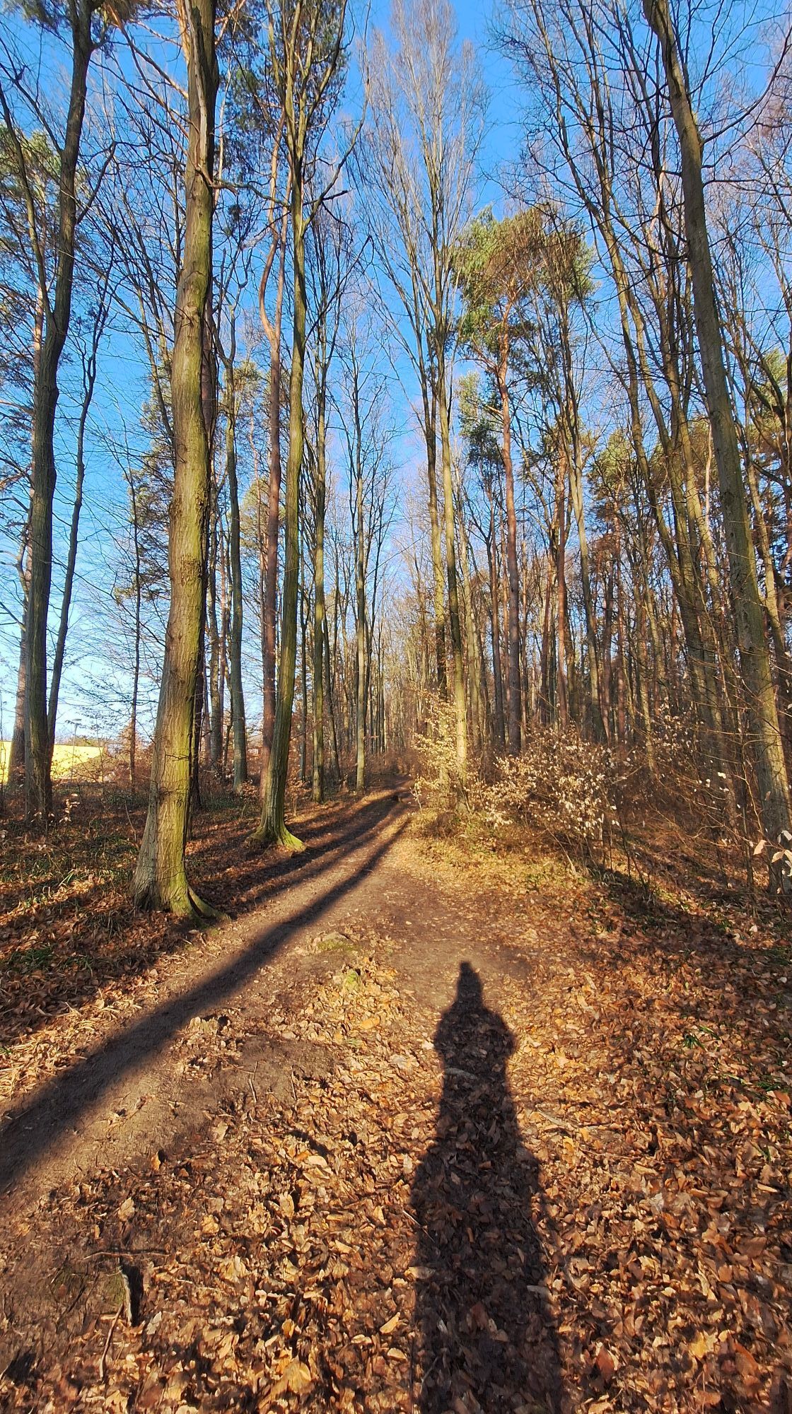

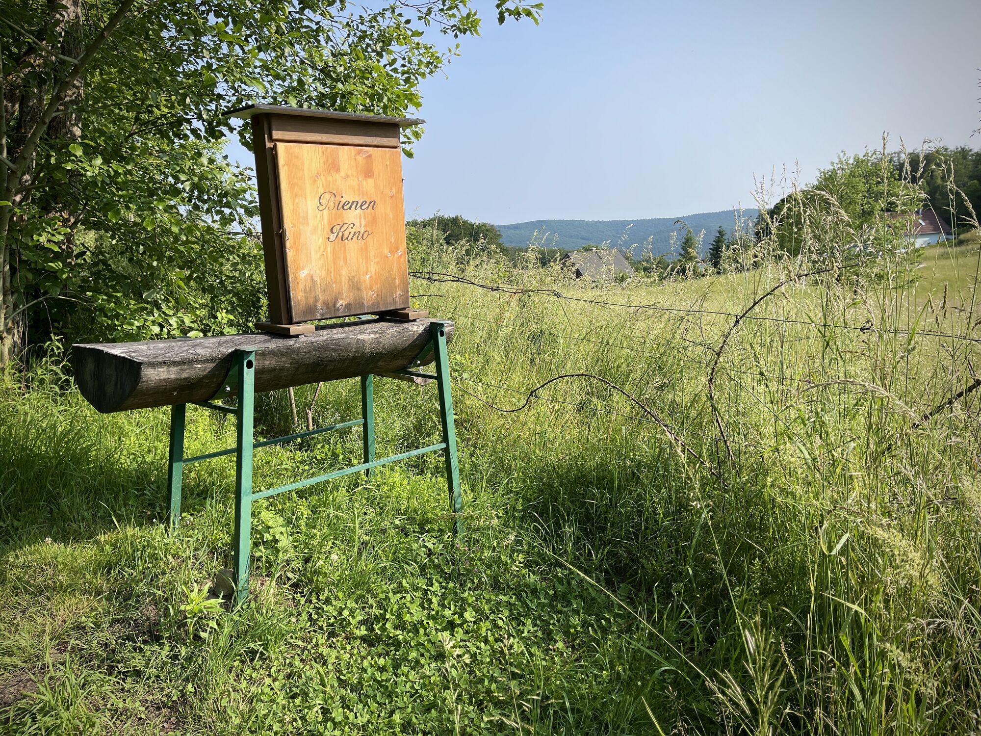
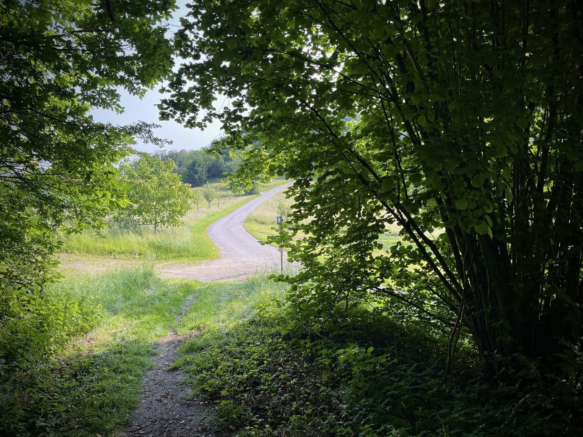
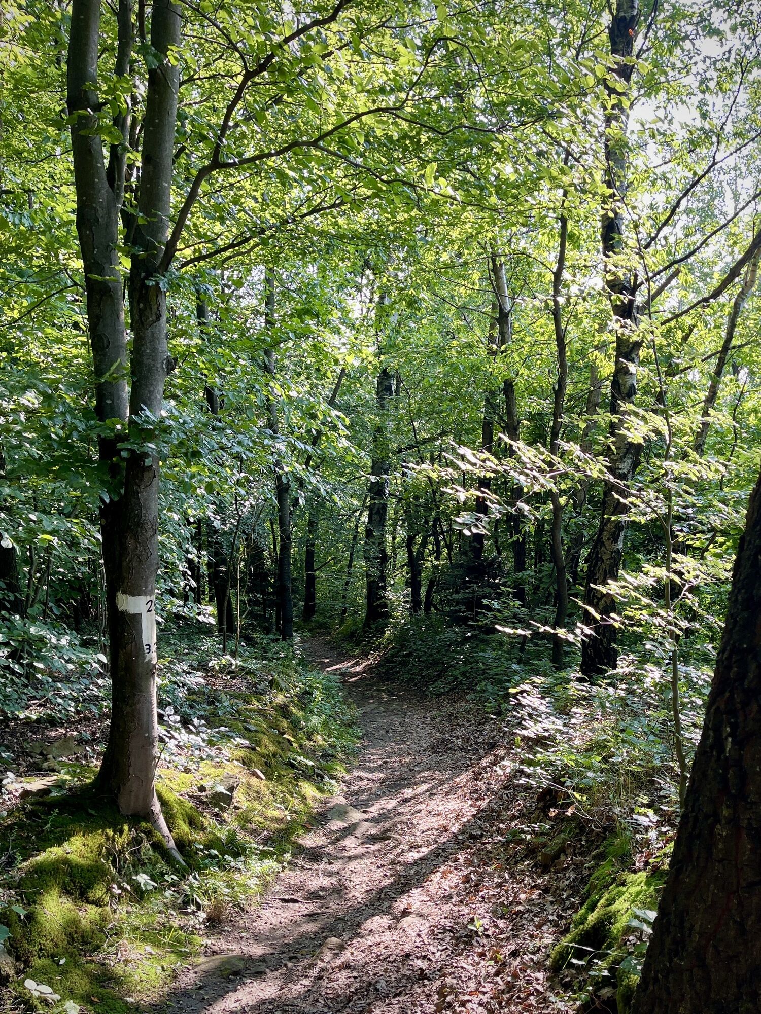
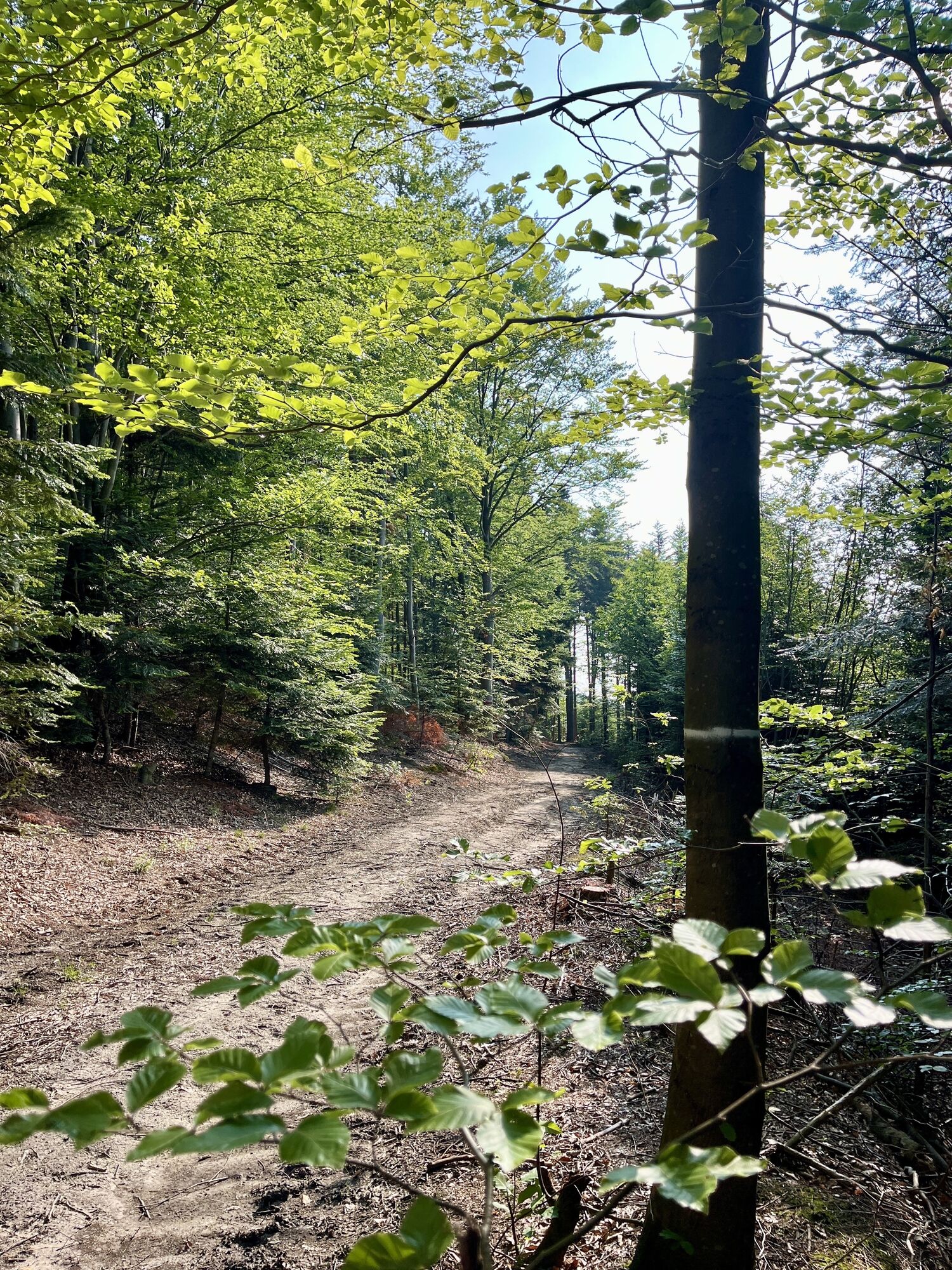
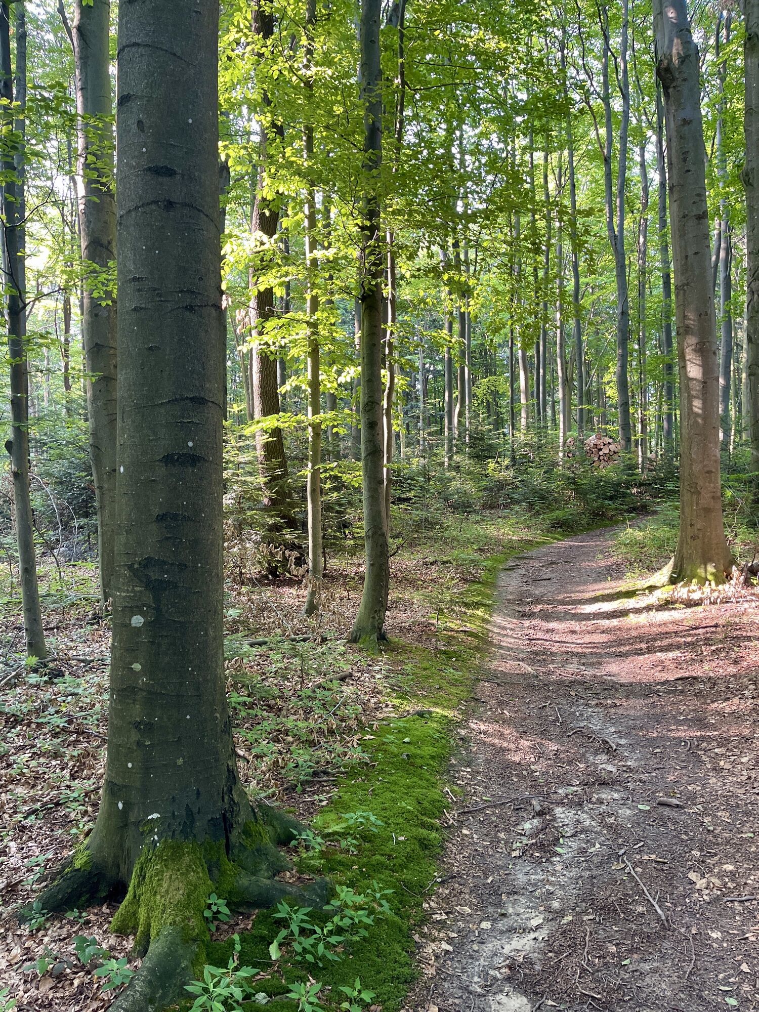

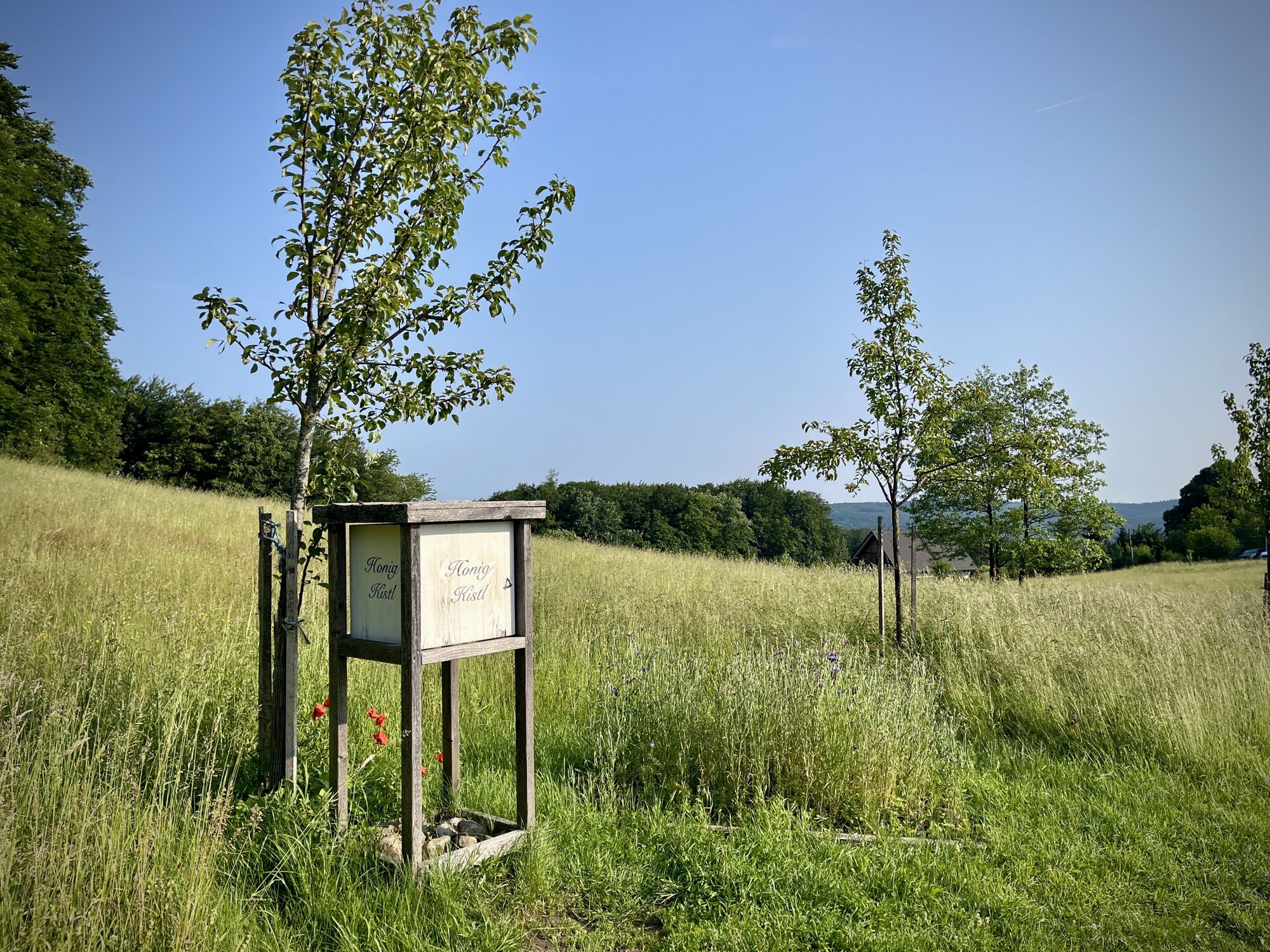
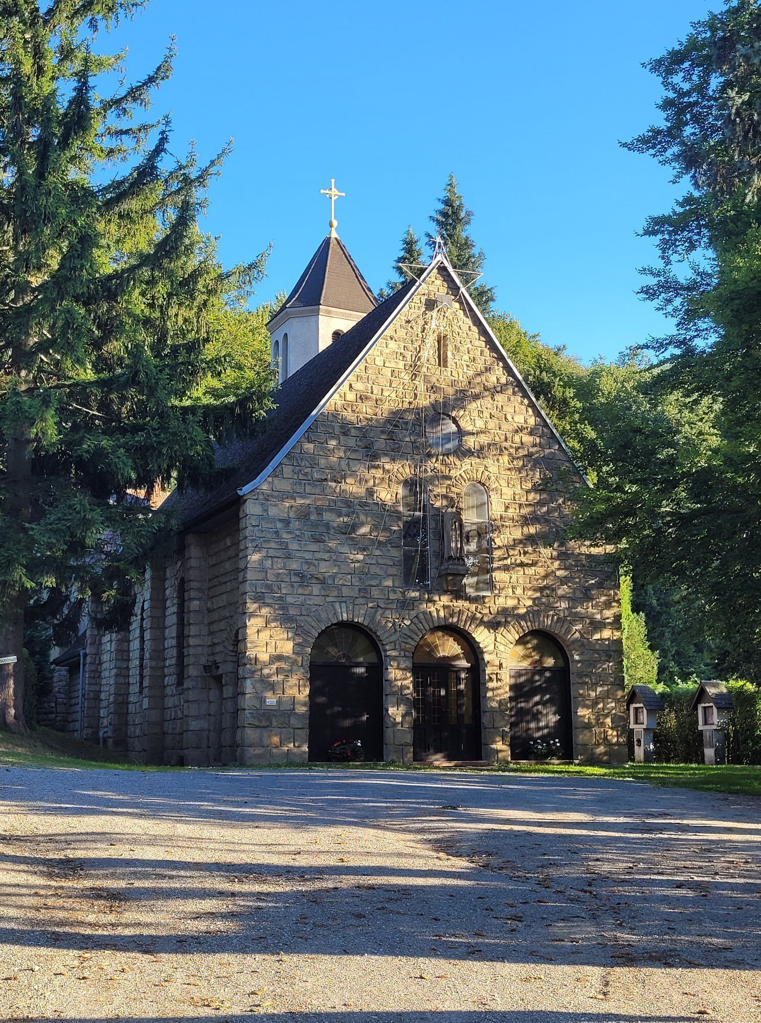
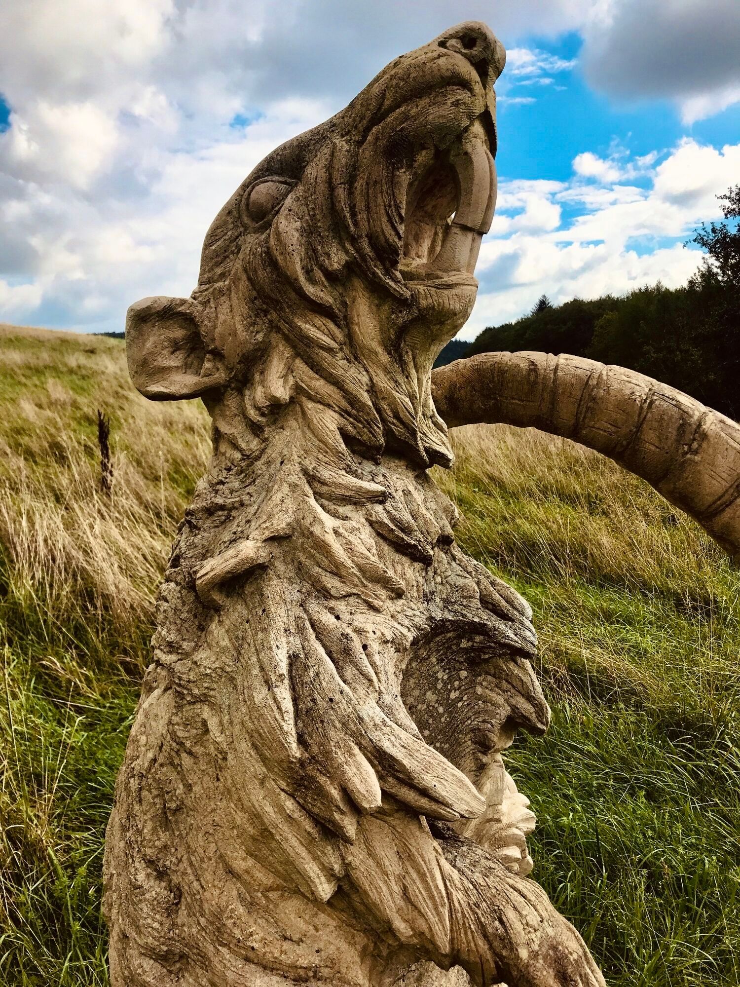
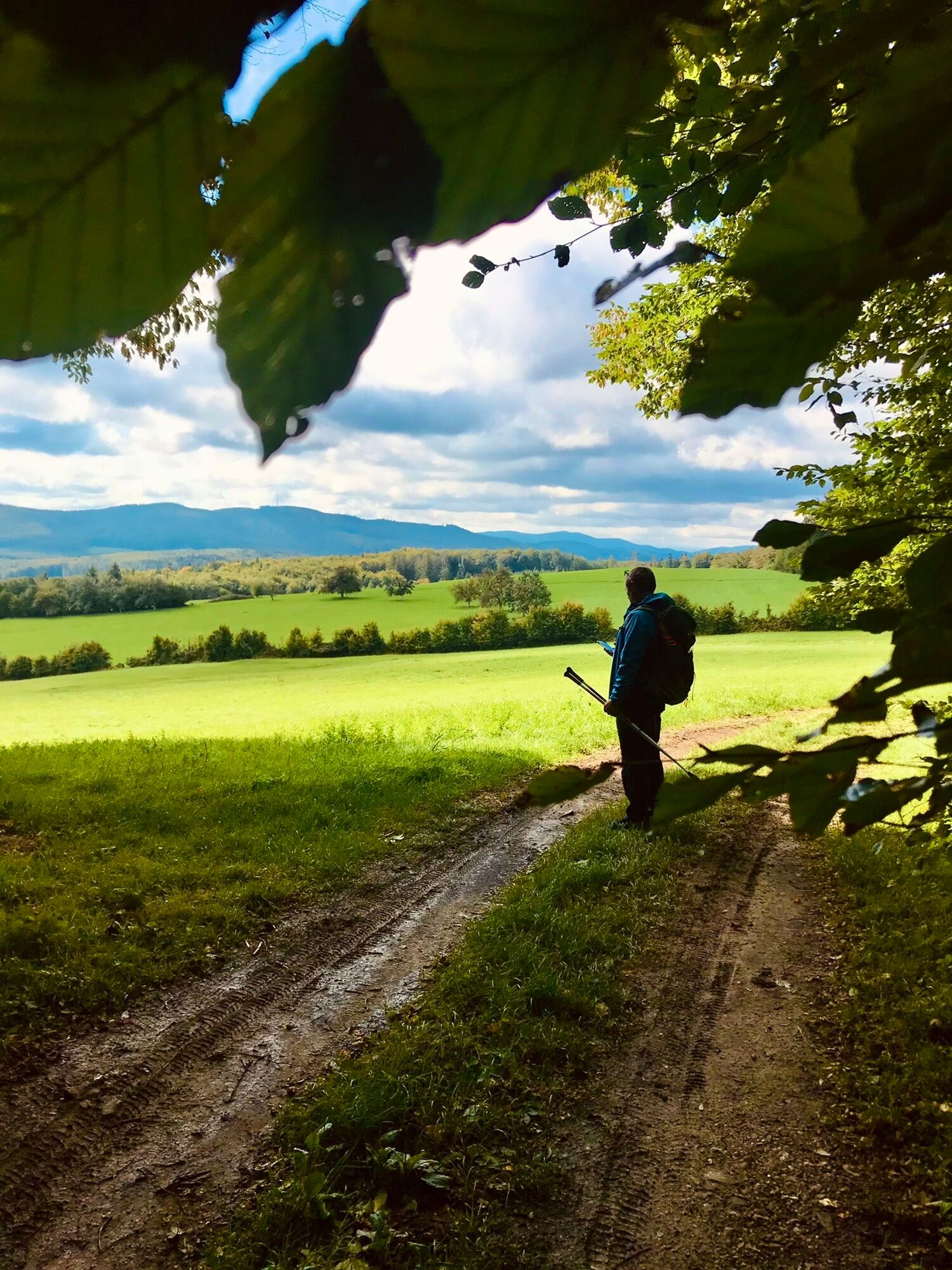
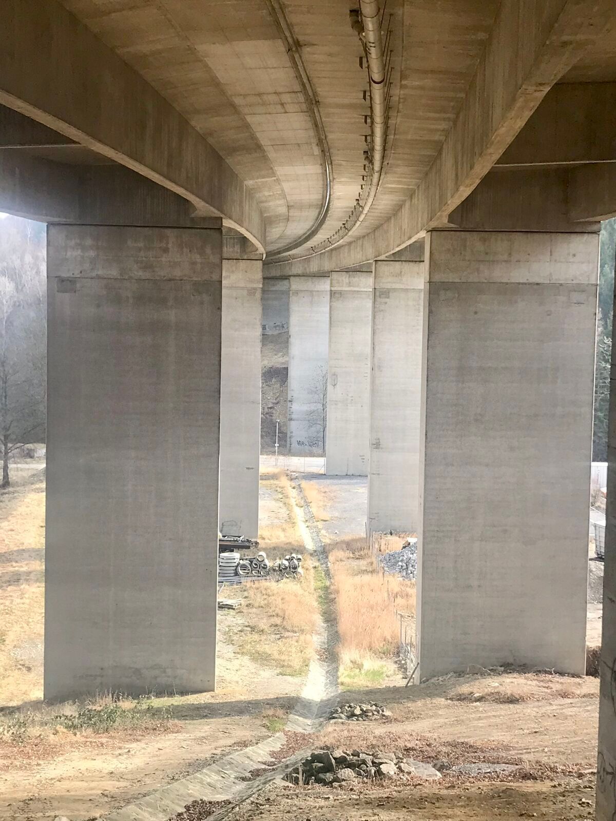
The Pfalzau route offers a number of scenic and natural highlights. The route leads through dense, shady forests, which offer a pleasant way to cool off, especially on hot days. There are also beautiful...
The Pfalzau route offers a number of scenic and natural highlights. The route leads through dense, shady forests, which offer a pleasant way to cool off, especially on hot days. There are also beautiful views of the Vienna Woods at higher points. The route is characterized by its quiet and natural atmosphere, away from heavily frequented paths. The varied mix of paved and natural paths is particularly attractive and appeals to both leisure cyclists and sporty mountain bikers.

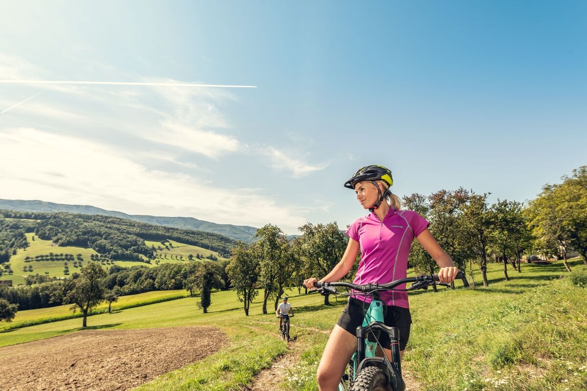

Attention: Forestry work is taking place in the "Prixstraße" area in Rekawinkel. Therefore, the route is closed until the end of October.
We start from Pfalzau towards Pressbaum, take Taborskystraße to the left to Bahngasse, cross the tracks, cycle over Othmar Mayer Street and enter the forest near the generation playground. The signs lead us up to the Stiefelbergen, where we turn left onto a hiking trail that brings us to Rekawinkel. From there, a forested area brings us back to the starting point.
Surface: Asphalt 81%, Gravel 14%, Forest/Meadow 5%
A safe and functional mountain bike is a prerequisite for all routes. Helmet and gloves protect against falls and can be supplemented with knee and elbow protectors on single/shared trails. A modern mountain bike with disc brakes and sufficient tire tread is recommended. For single and shared trails from the red difficulty level upwards, a full-suspension bike with modern geometry is recommended. Tools, tire levers, pump, and spare tube help in case of a breakdown. Adequate supplies (drinks and food) should also be carried, as well as a mobile phone and wind/rain jacket.
Before each ride, check the functionality of brakes, tires, and suspension fork/damper. Always ride with hazard awareness and controlled speed, and adapt the route choice to the riding skills of the group and the surface. The Fair Play rules must always be observed. Single/shared trails as well as built trails in trail parks and trail centers often have stones, roots, steep sections, steps, and tight bends that require specific riding skills. When in doubt, simply dismount and push the bike.
The altitude figures for this route were calculated based on the A-MAP. Due to different map bases from routing/navigation apps and devices, slight variations in figures are inevitable. More information can be found in the following blog post!
Wienerwald Tourism GmbH
Hauptpl. 11, 3002 Purkersdorf
Tel.: 02231 62176
E-mail: office@wienerwald.info
Website: www.wienerwald.info
Information on possible excursion destinations:
PressbaumDining options with award:
SteinerhofDining options:
Cafe CorsoCafé Pension Familie ParzerGasthaus Mayer

Priljubljeni izleti v okolici
- 4.7
Schöpfl
svetlobaPohodništvo 9.52 km - 4.6
Stadtwanderweg 6 / Zugberg - Maurer Wald (lt. Beschilderung)
svetlobaPohodništvo 13.3 km - 4.6
Rundwanderung Gablitz Gemeindeamt - Troppberg - Rabenstein - Gablitz Gemeindeamt
svetlobaPohodništvo 12 km - 4.0
Schöpfl von Sankt Corona
srednjaPohodništvo 10.1 km - 4.5
von Purkersdorf zur Rudolfshöhe
svetlobaPohodništvo 4.72 km - 4.3
Rund um die Kartause Mauerbach - Angelos wohininundumwien.at
svetlobaPohodništvo 4.90 km - 4.1
Mauerbach - Tulbinger Kogel
svetlobaPohodništvo 12.1 km - 4.3
Kalksburg - Wiener Hütte
svetlobaPohodništvo 8.17 km - 4.6
Tut Gut Wanderweg Pressbaum 3
srednjaPohodništvo 12.5 km - 4.6
Wienerwald: Eine kleine Höllensteinrunde
svetlobaZimsko pohodništvo 9.56 km
Pohodništvo in sledenje


Ne zamudite ponudb in navdiha za naslednje počitnice
Vaš e-poštni naslov je bil dodan na poštni seznam.





