







Laurenzi - route

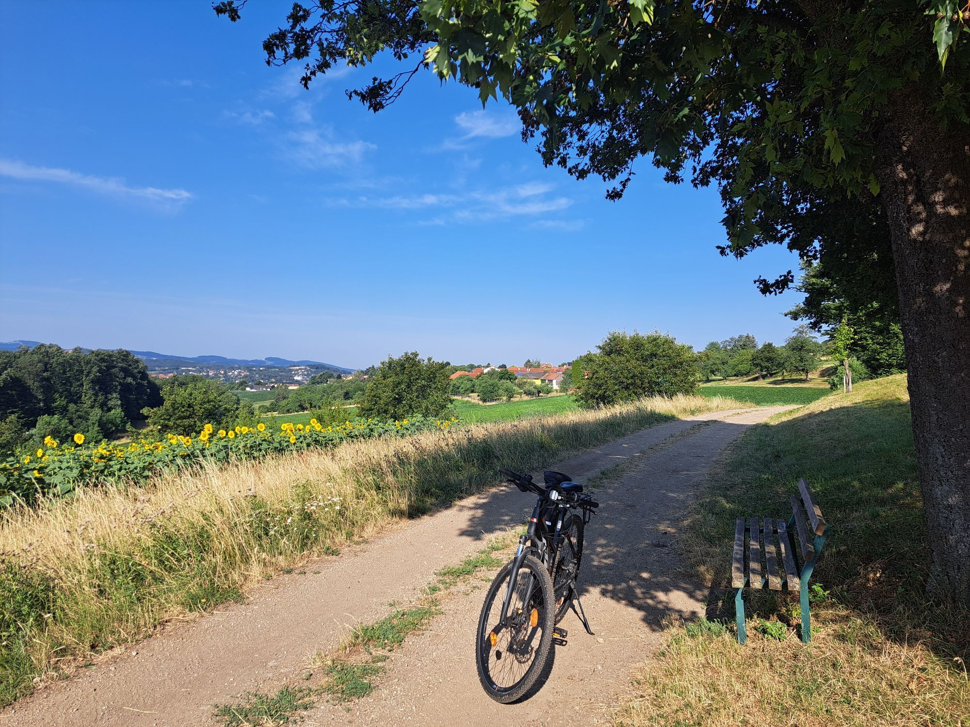
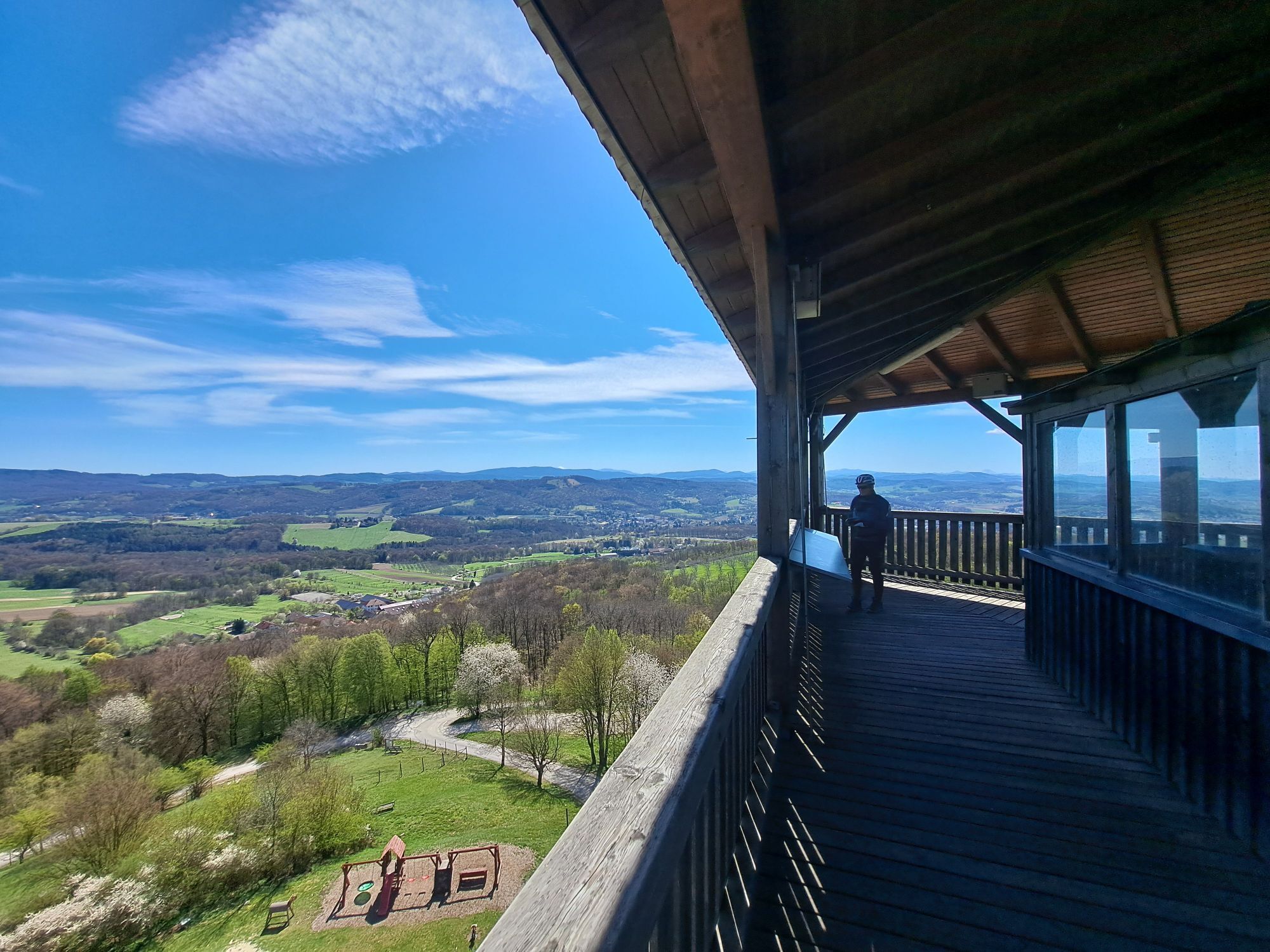
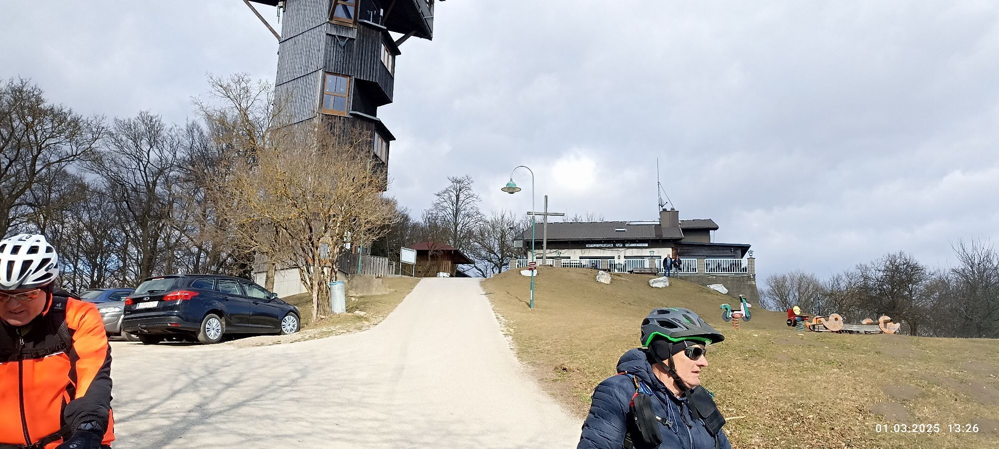
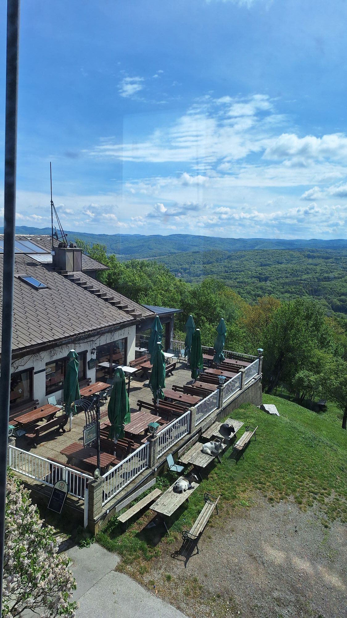
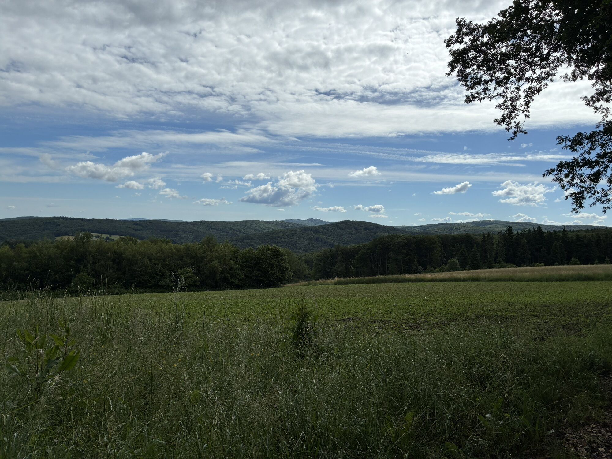
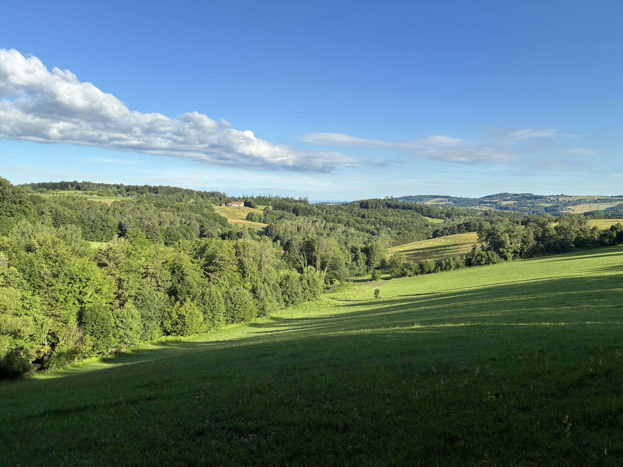
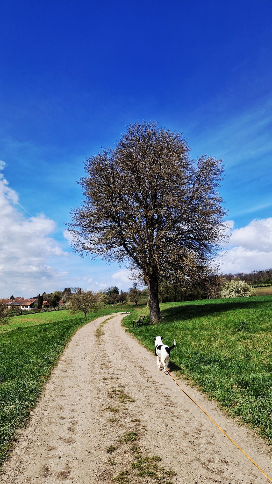
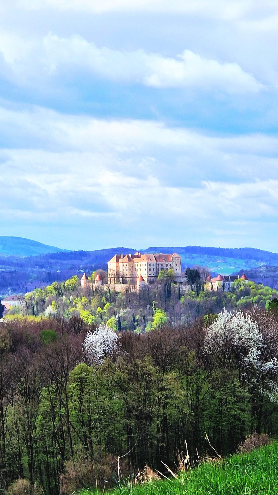
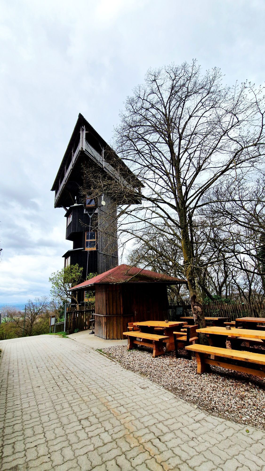
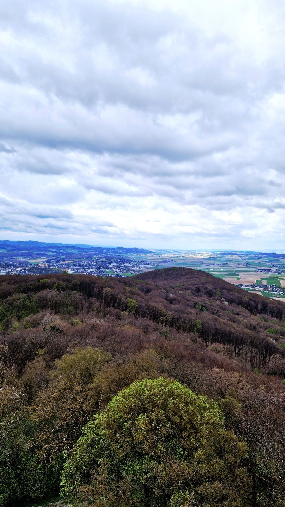
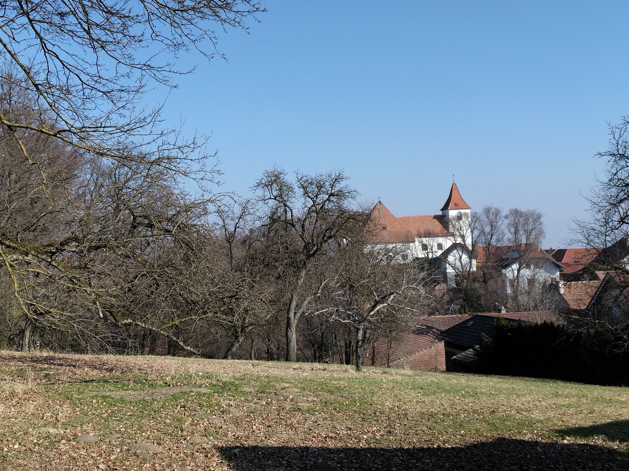
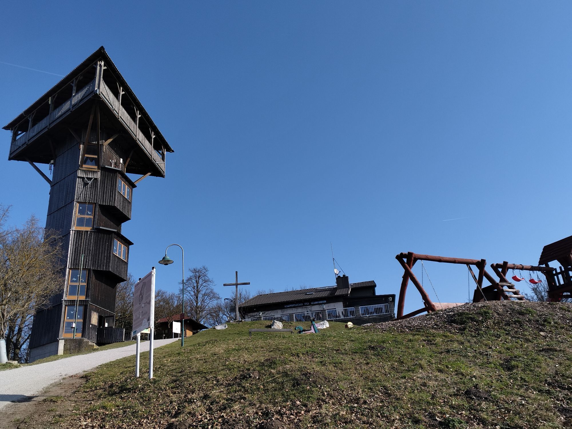
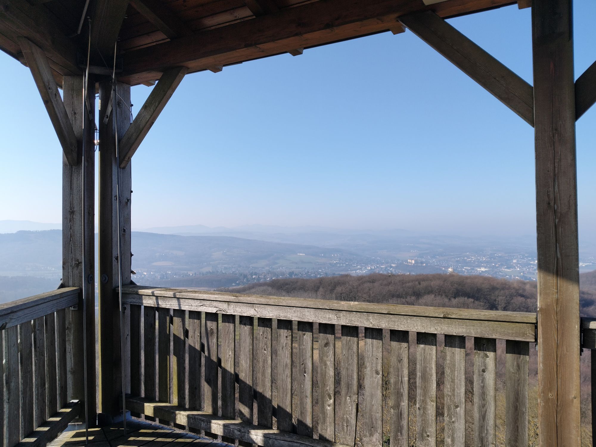
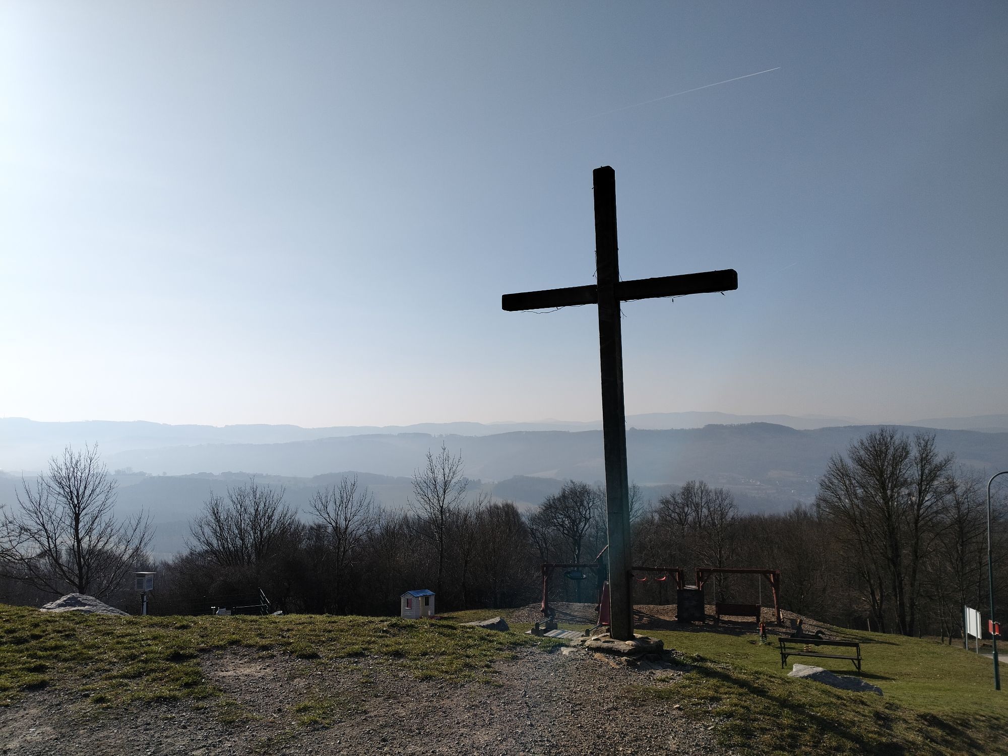
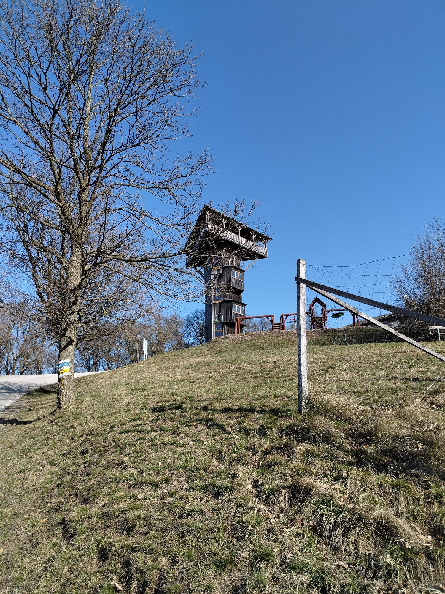

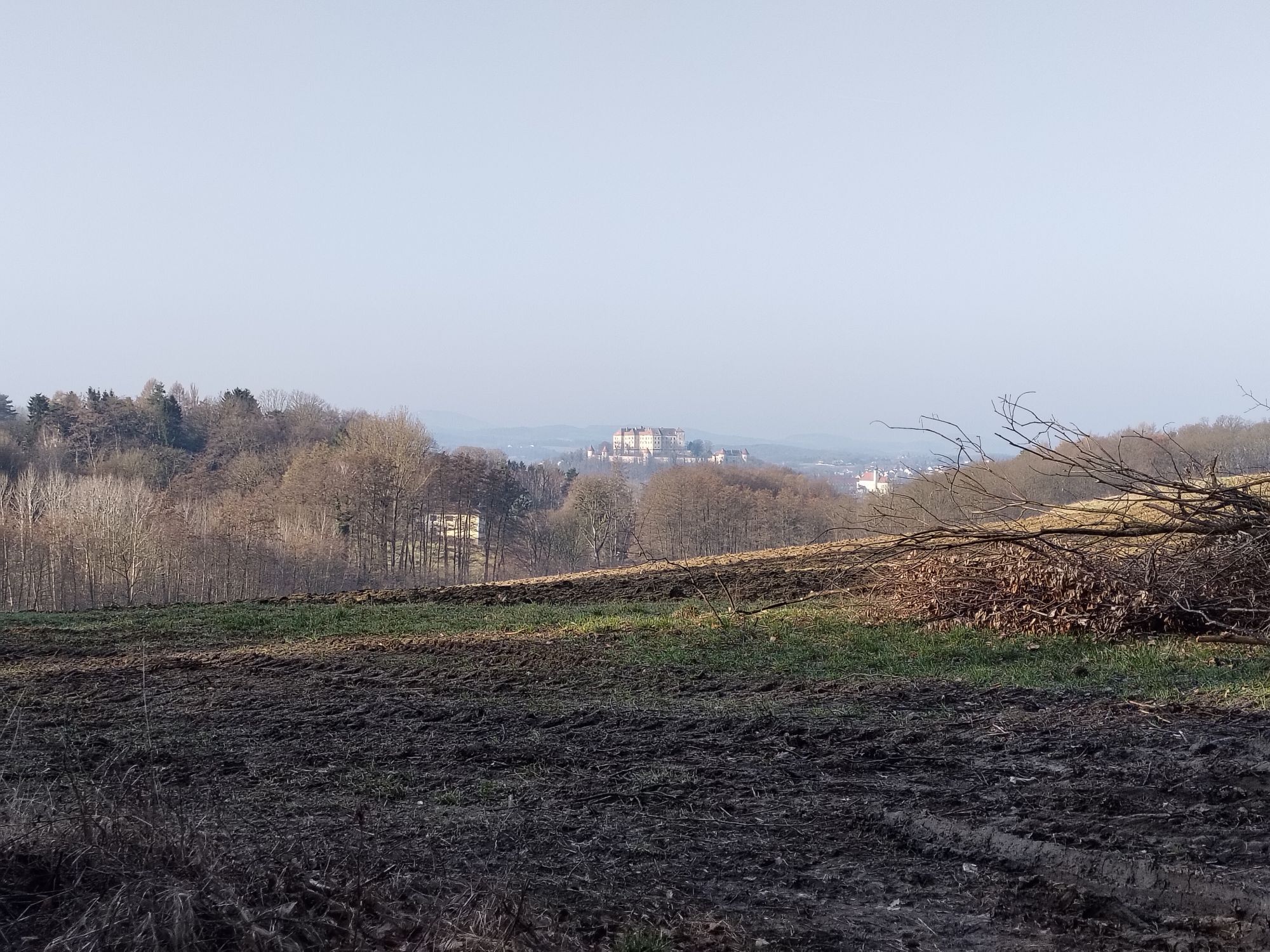
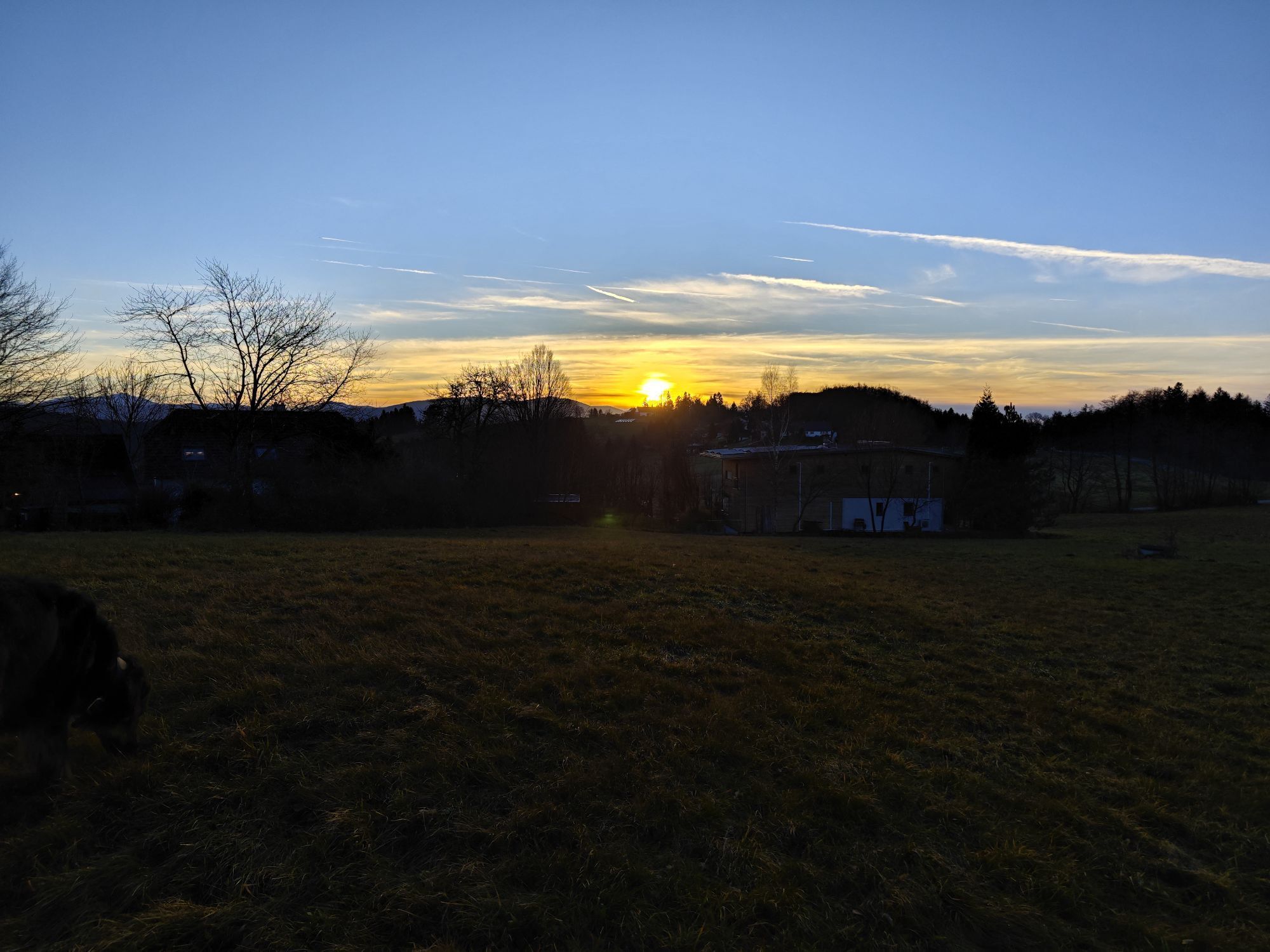
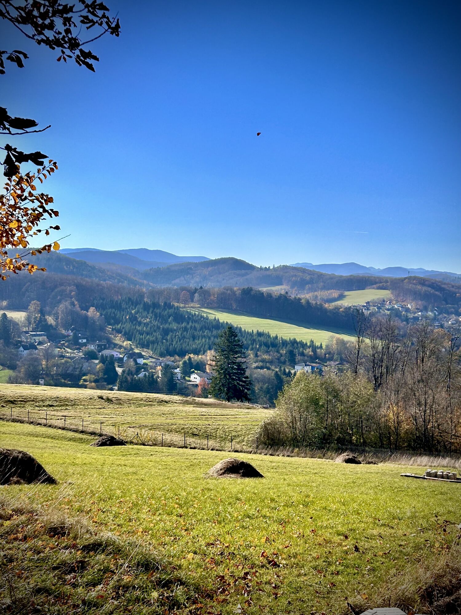
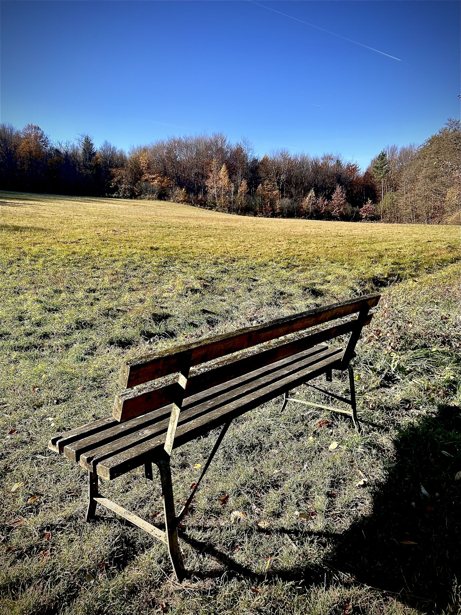
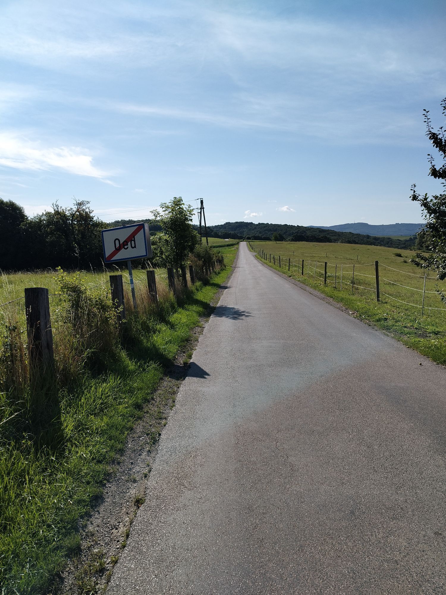
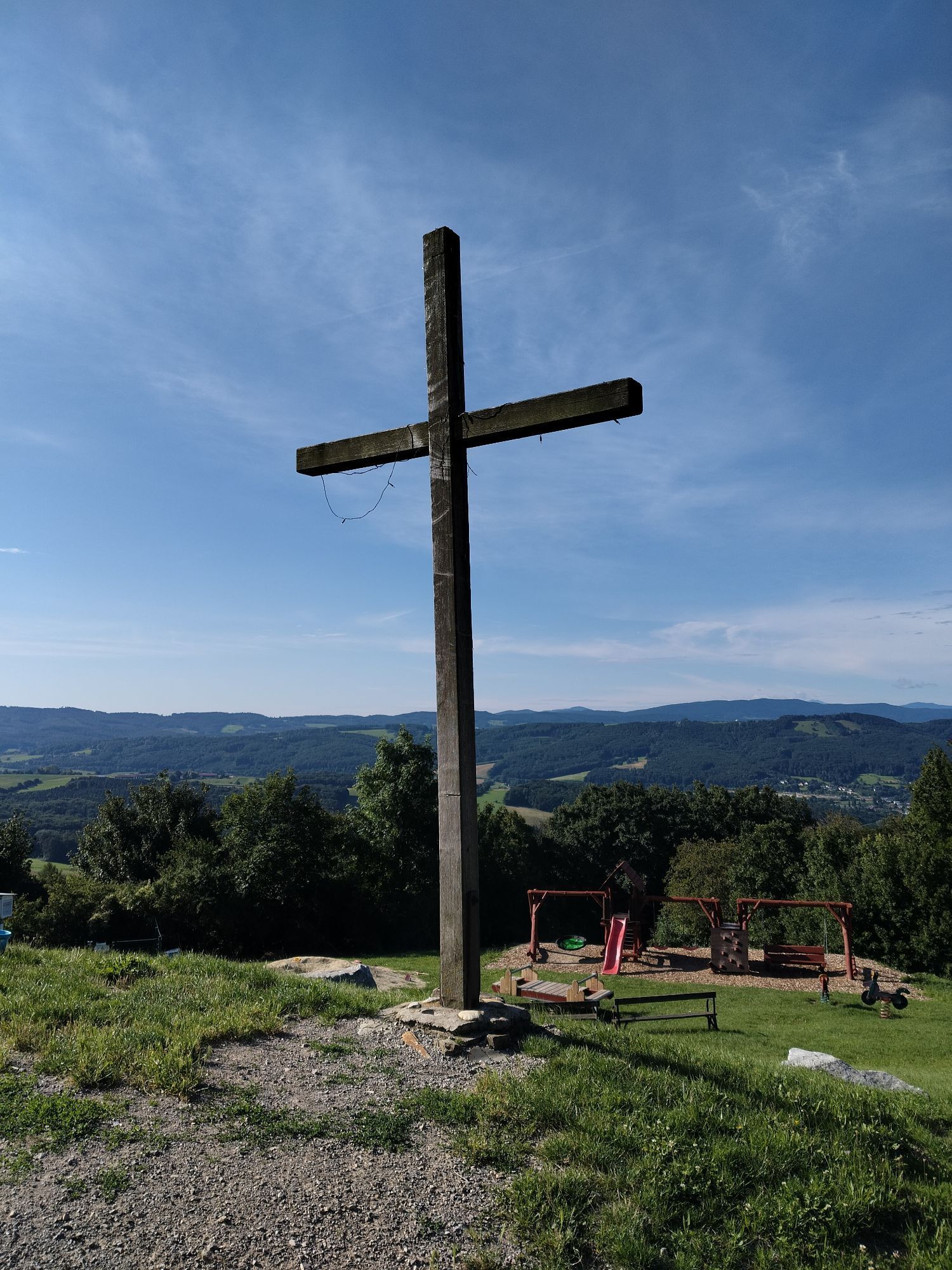
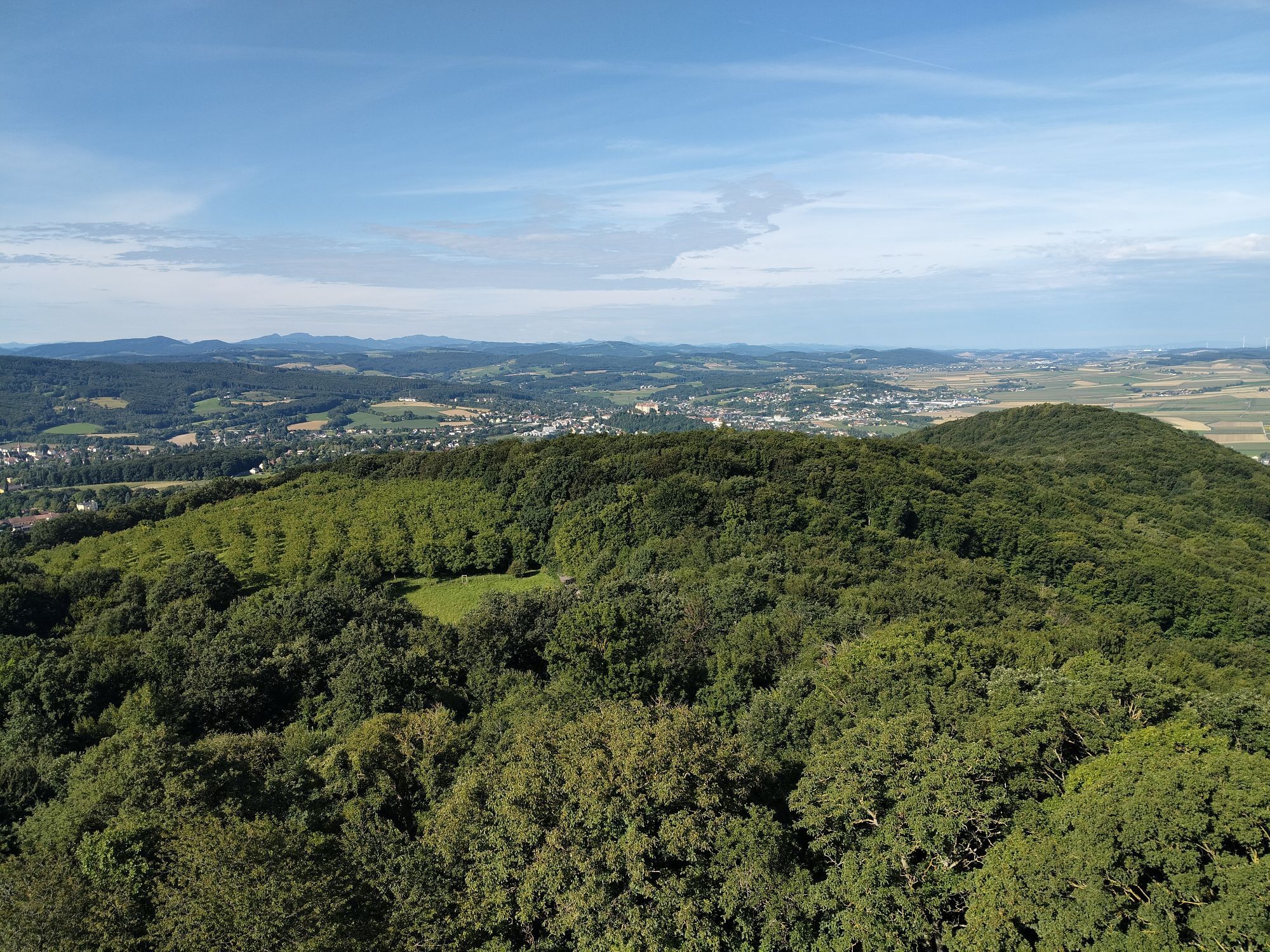
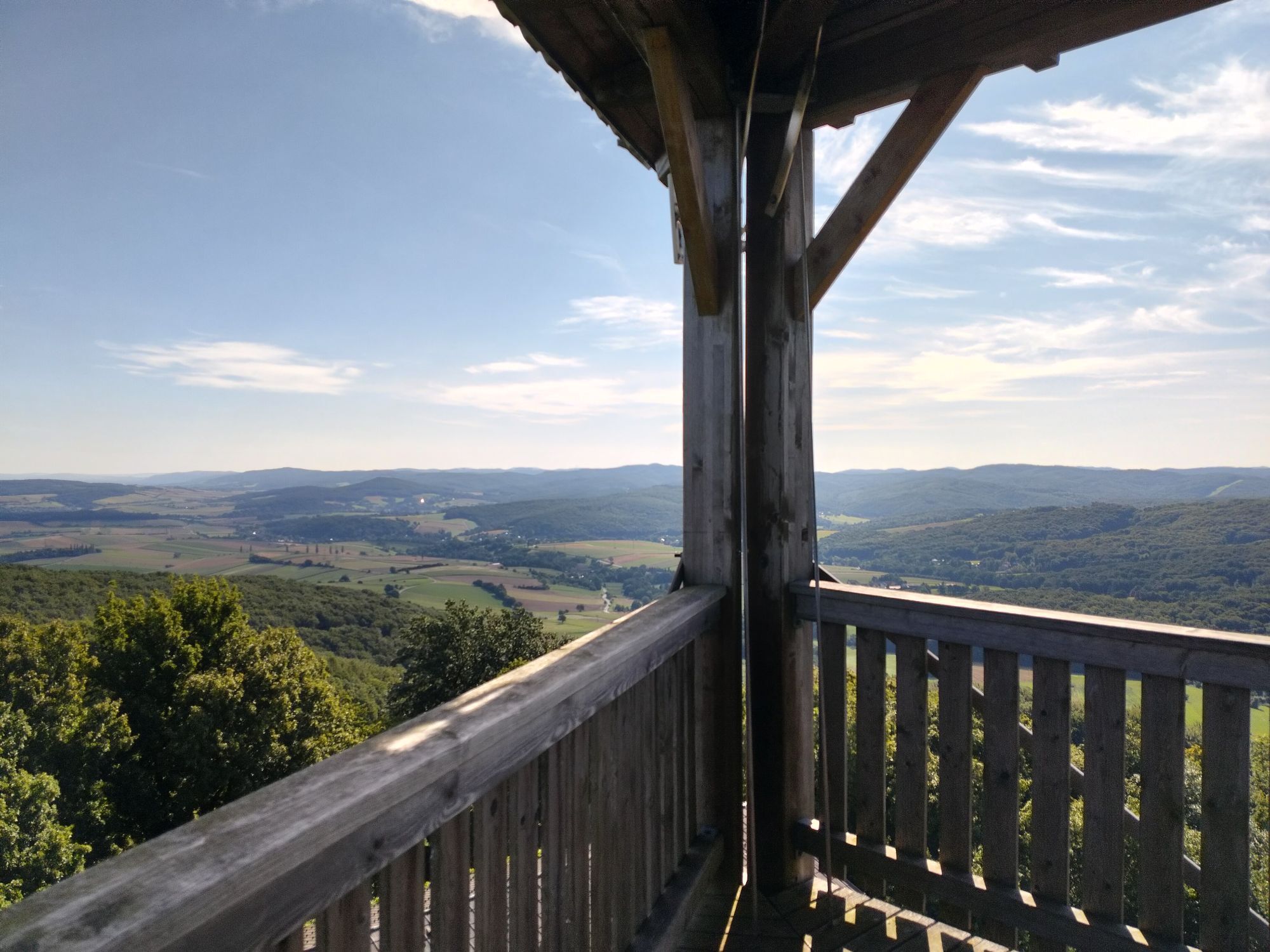
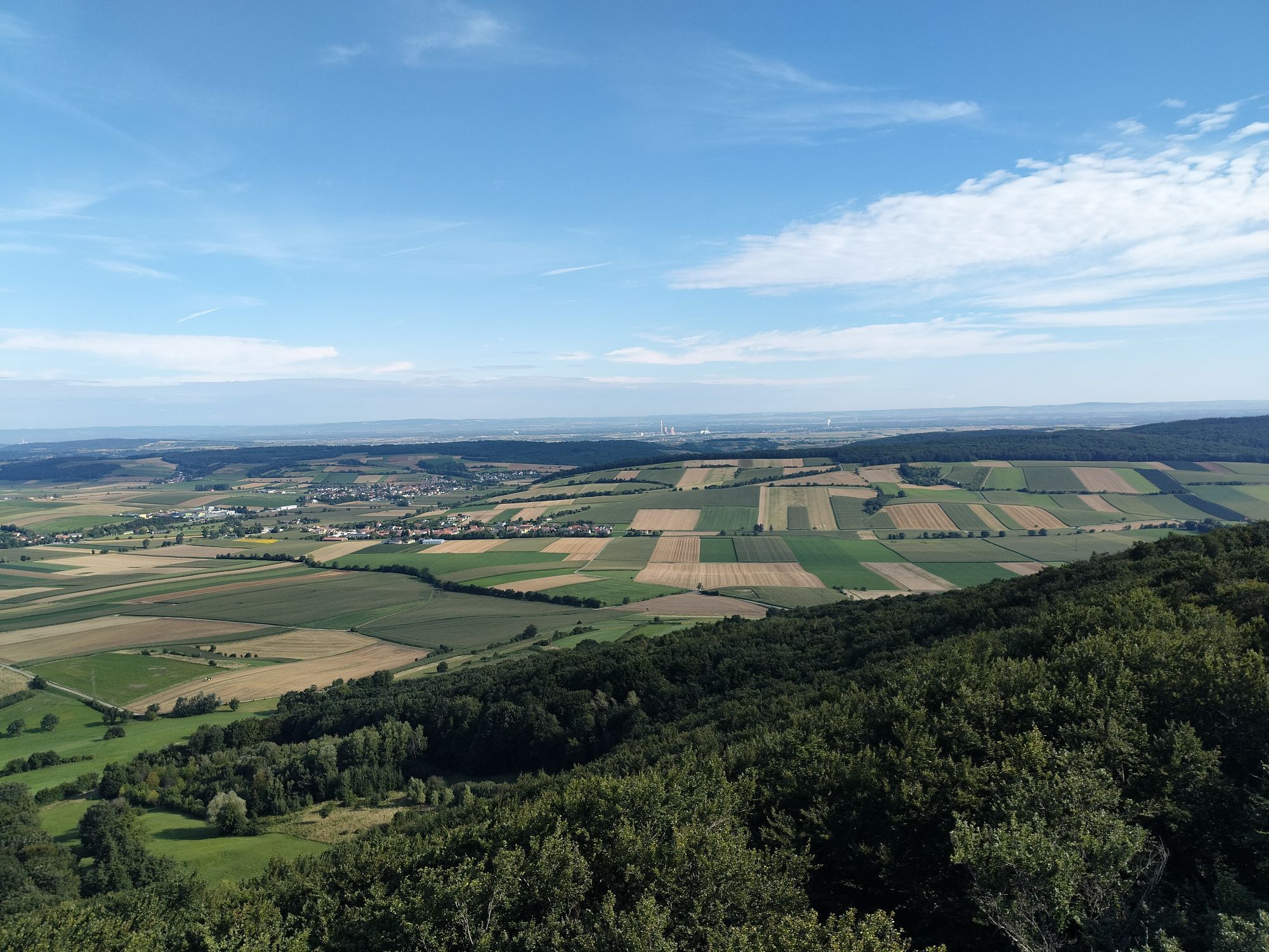
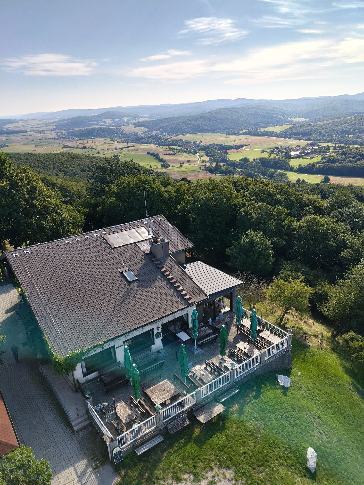
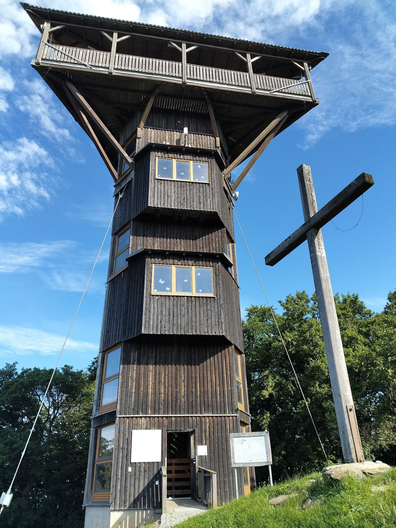
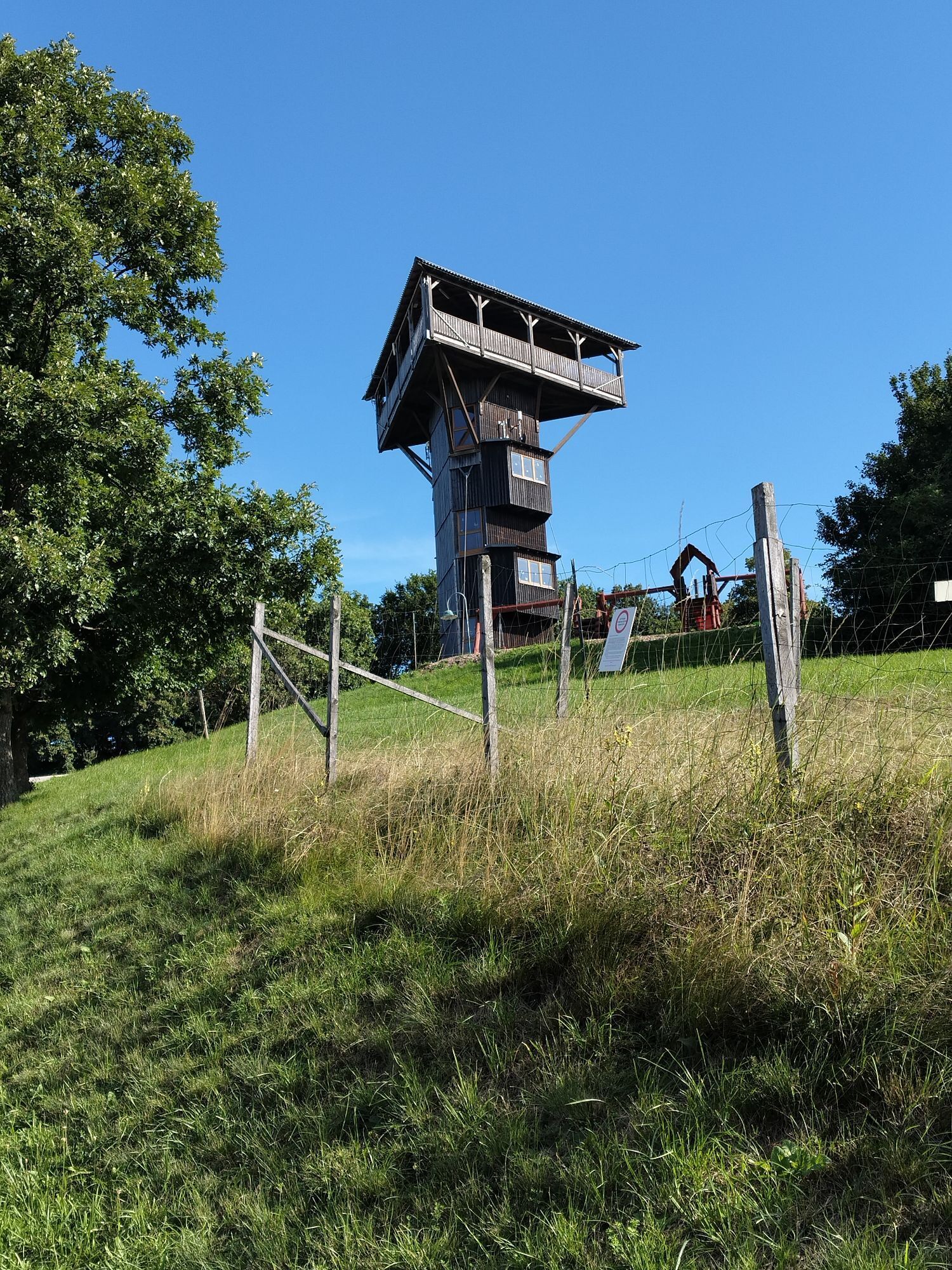
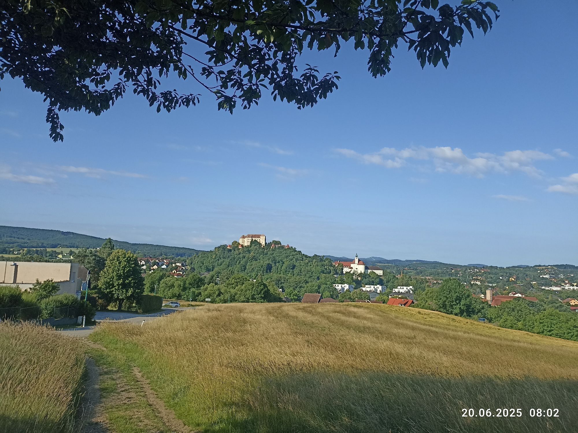

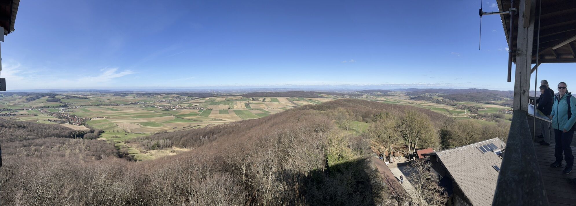
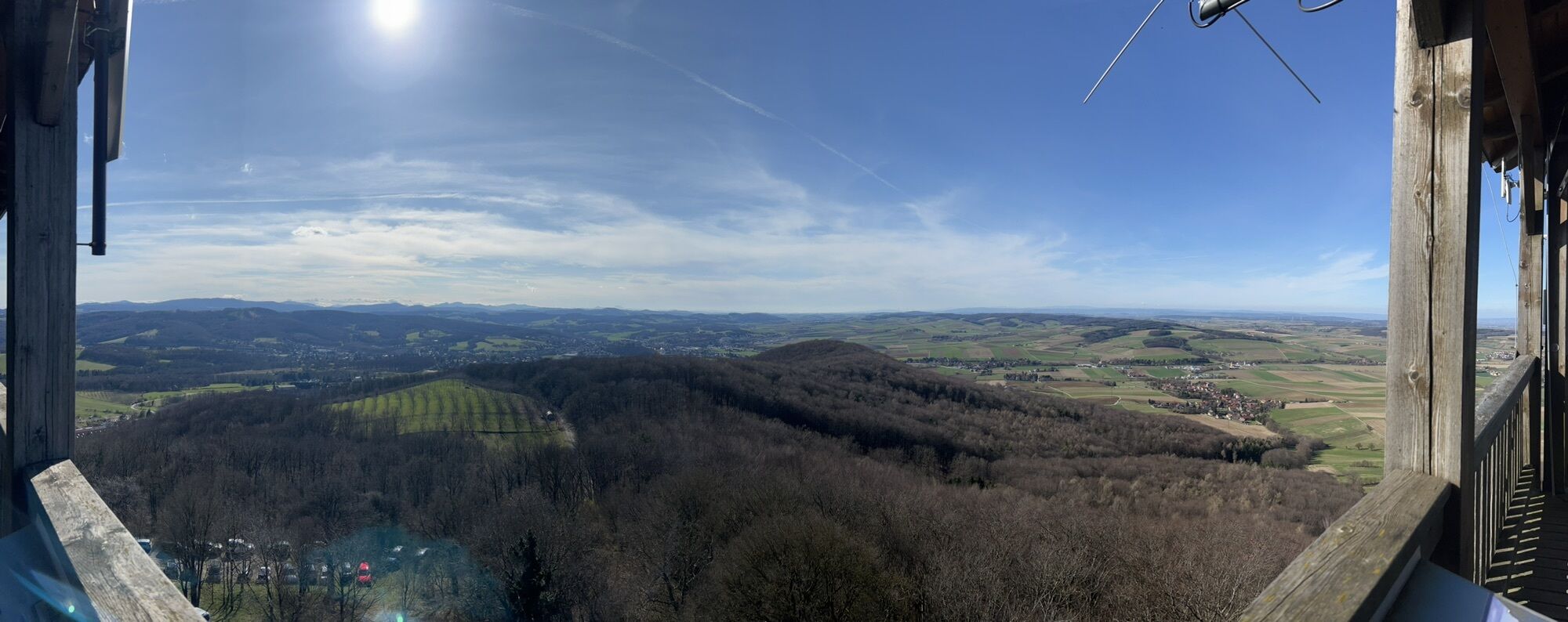
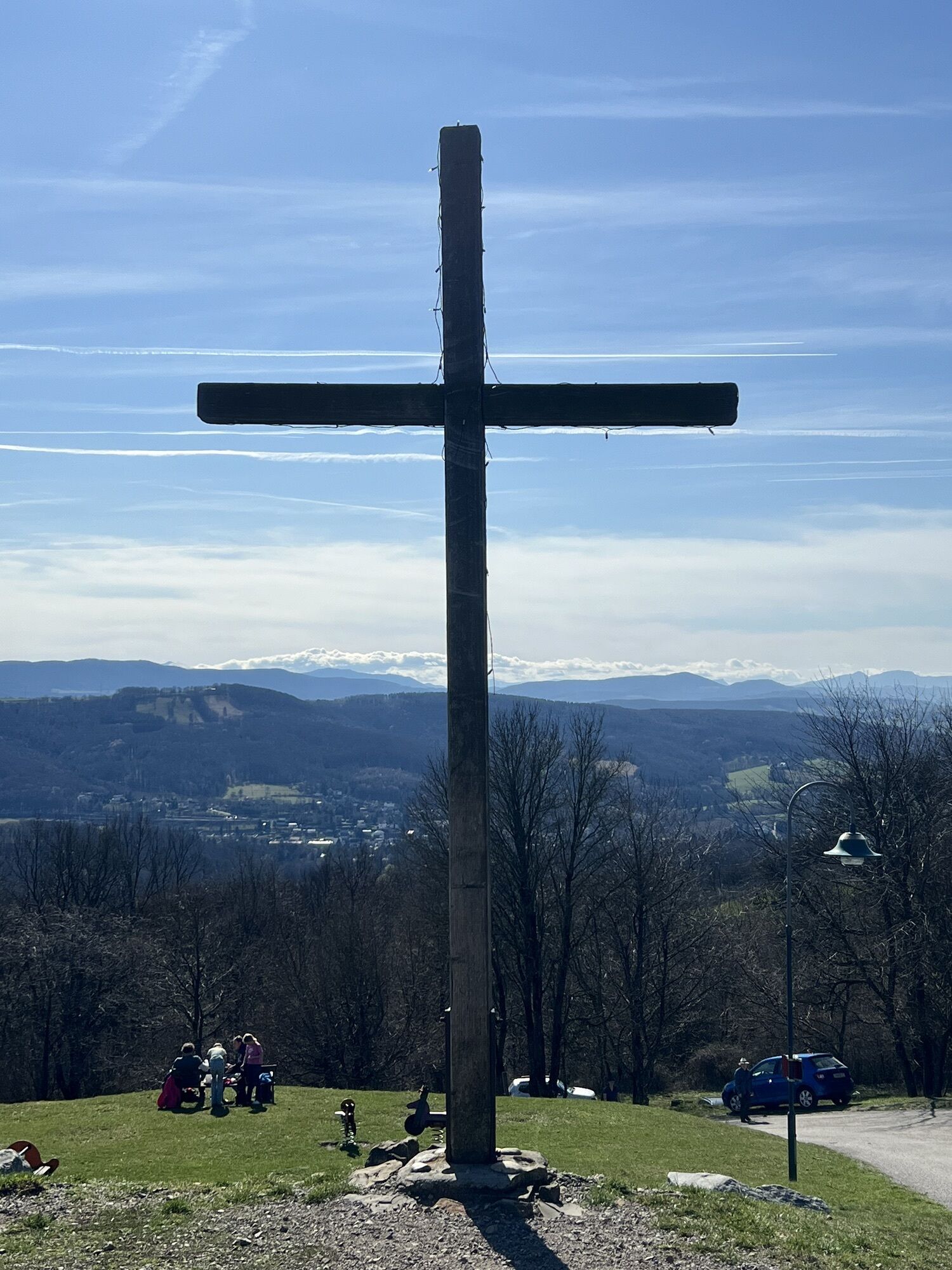
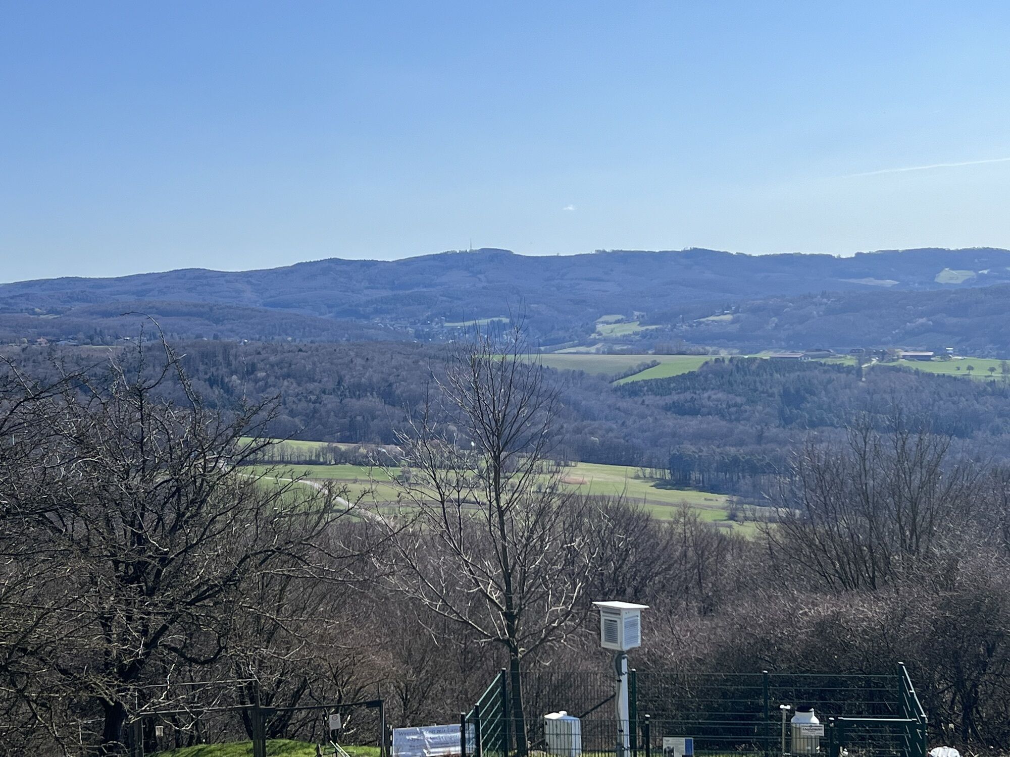
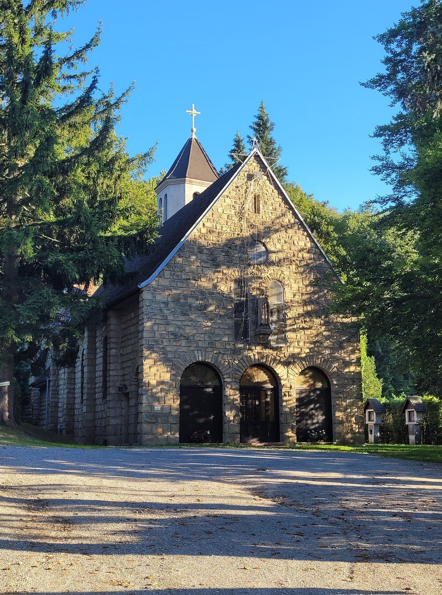
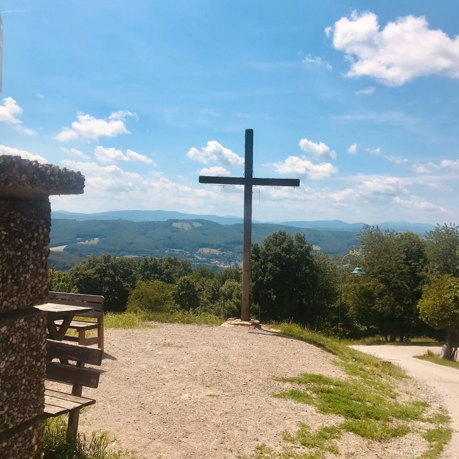
The Laurenzi route offers a varied combination of scenic and cultural highlights in the Vienna Woods. The ascent to Hochstraß is particularly impressive and is rewarded with beautiful views of the surrounding...
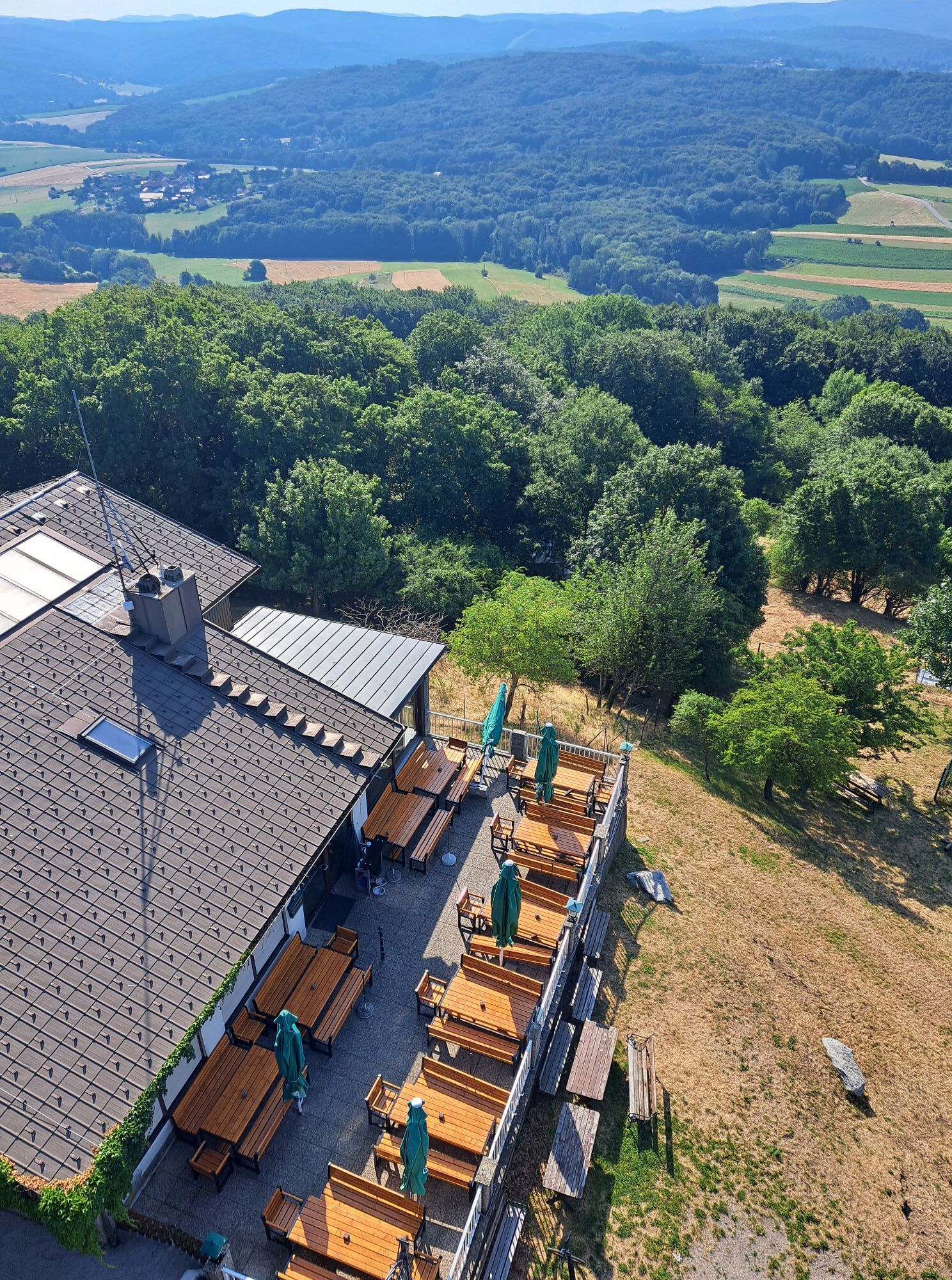
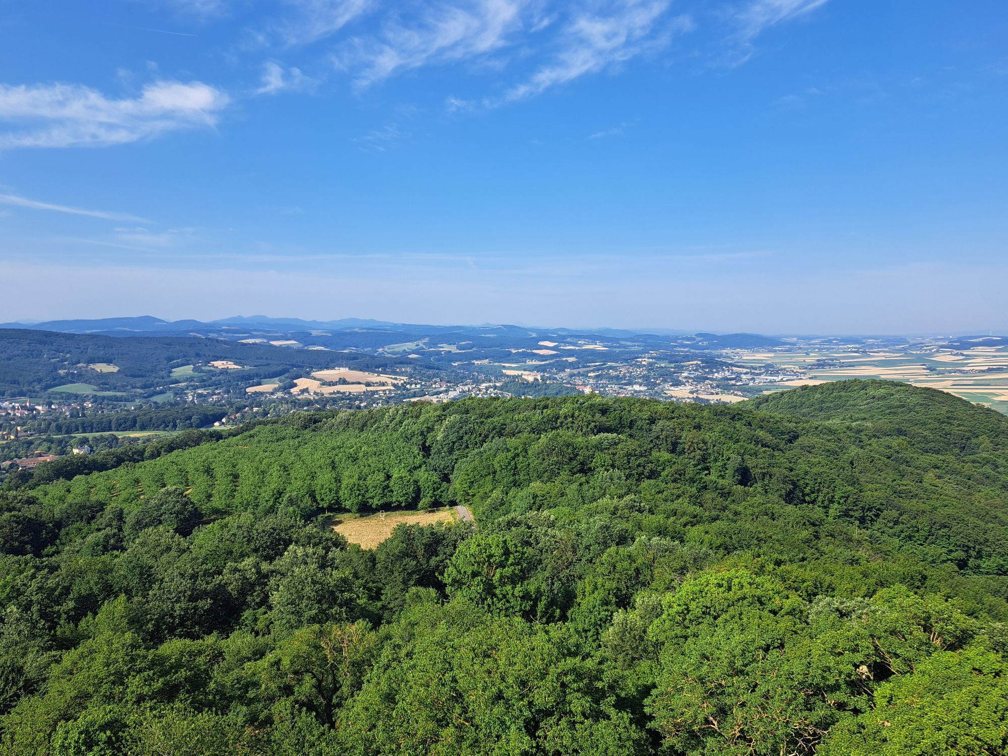
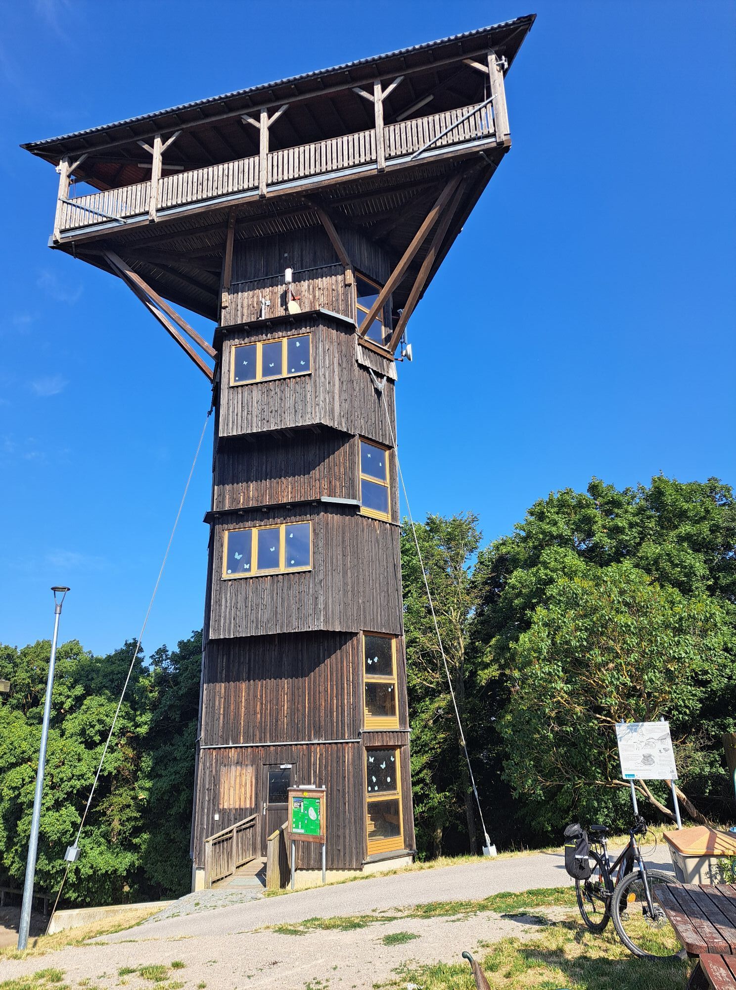
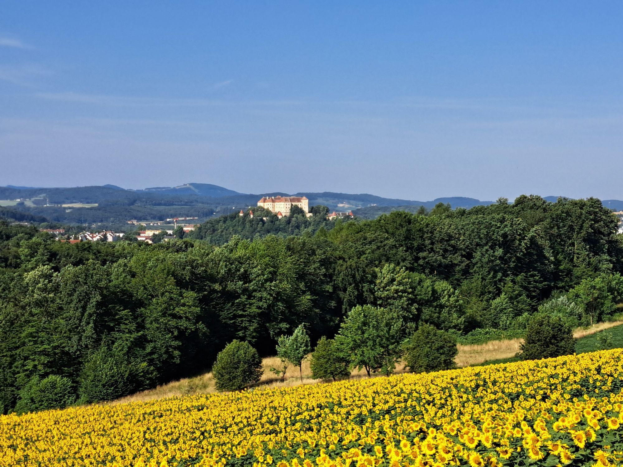
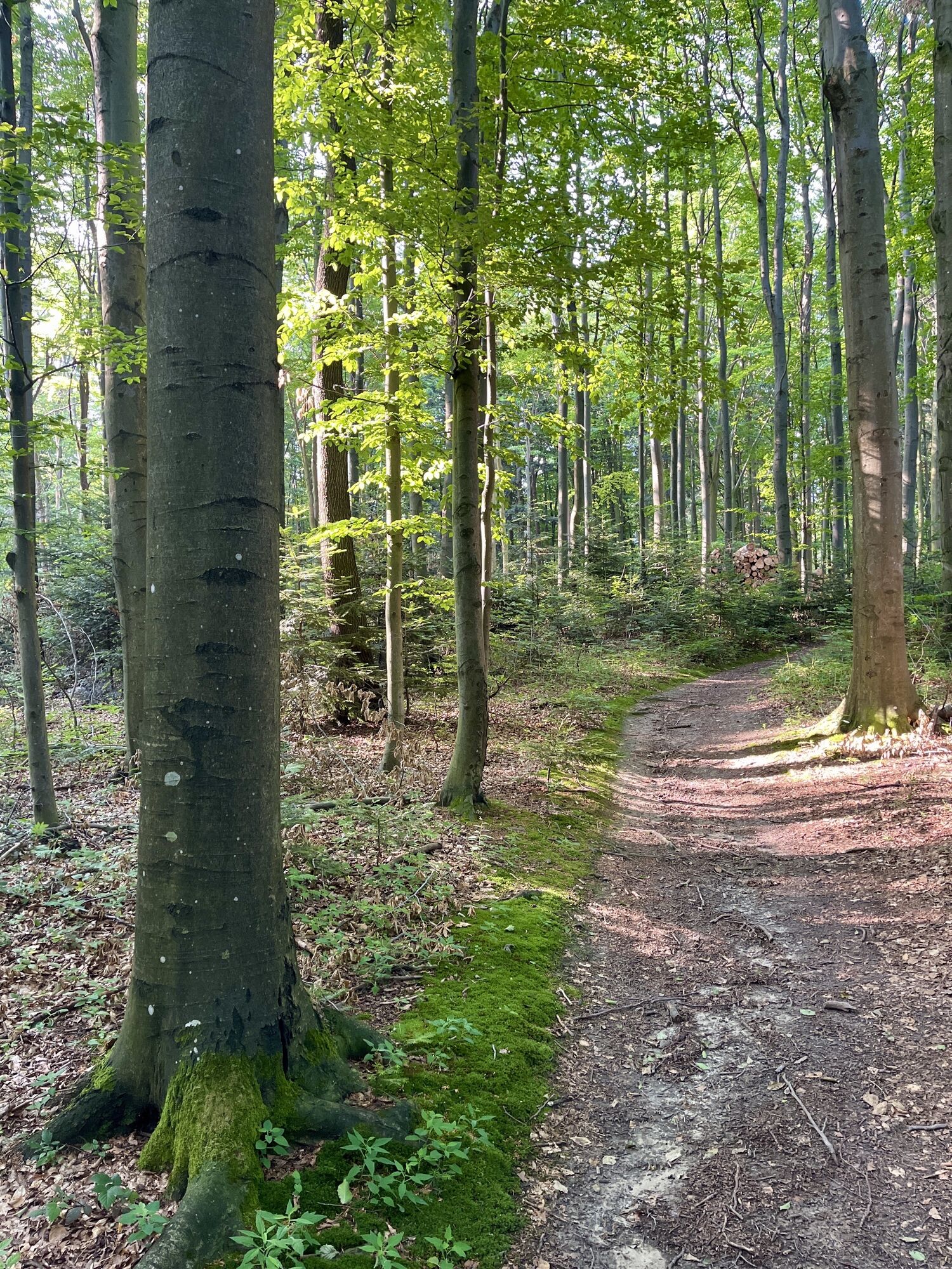
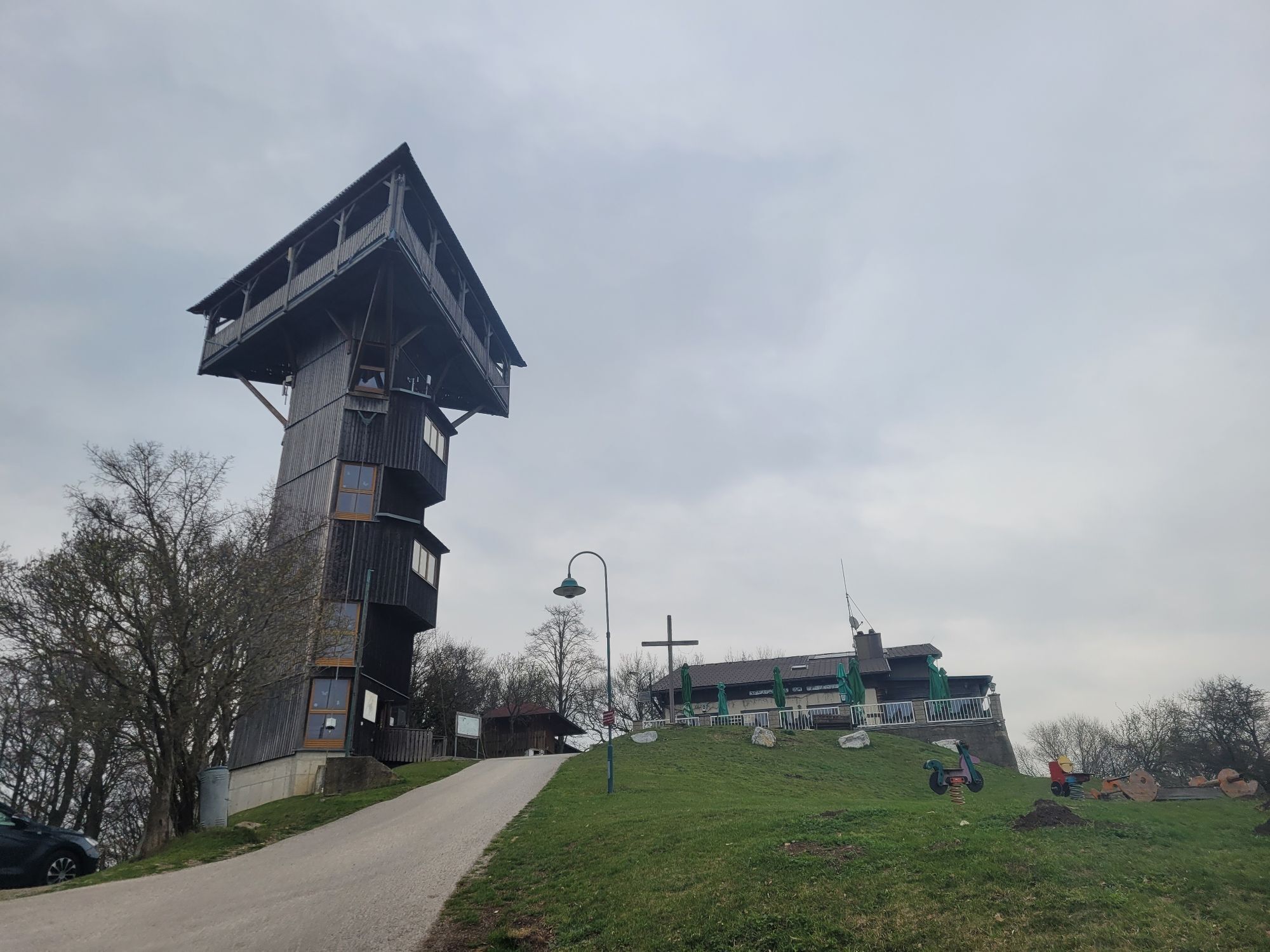
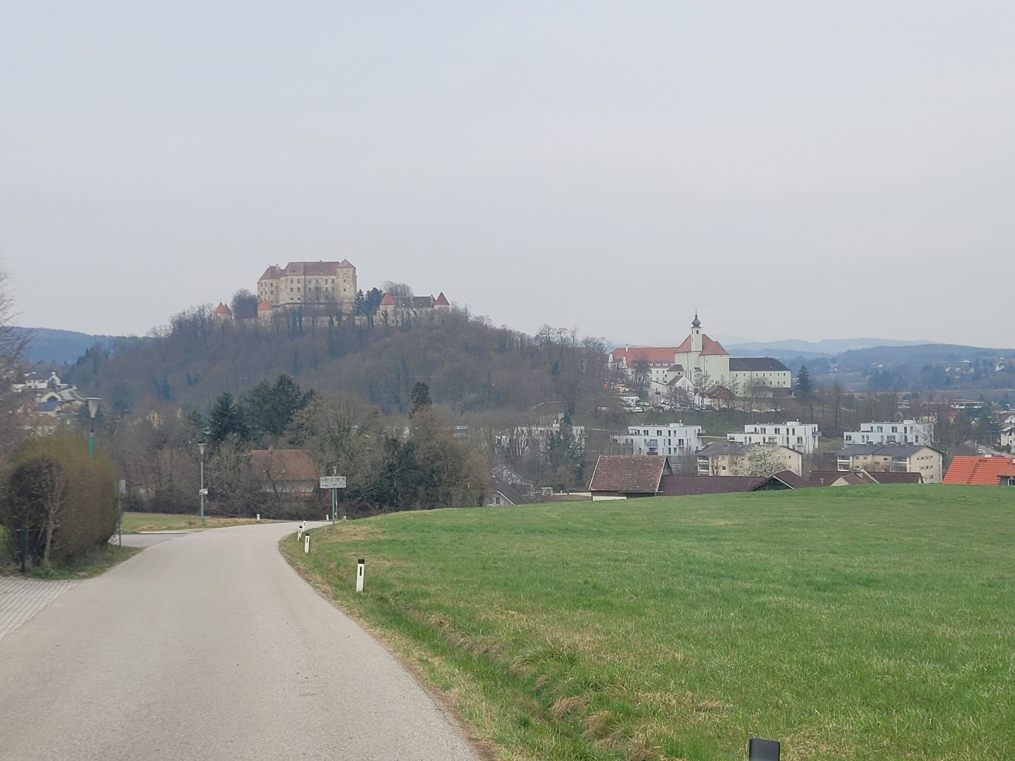
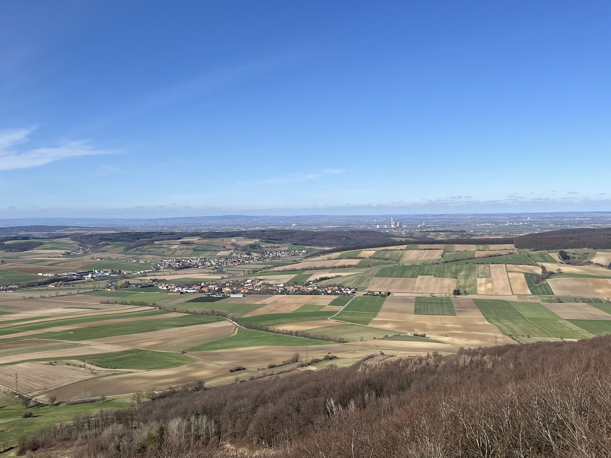
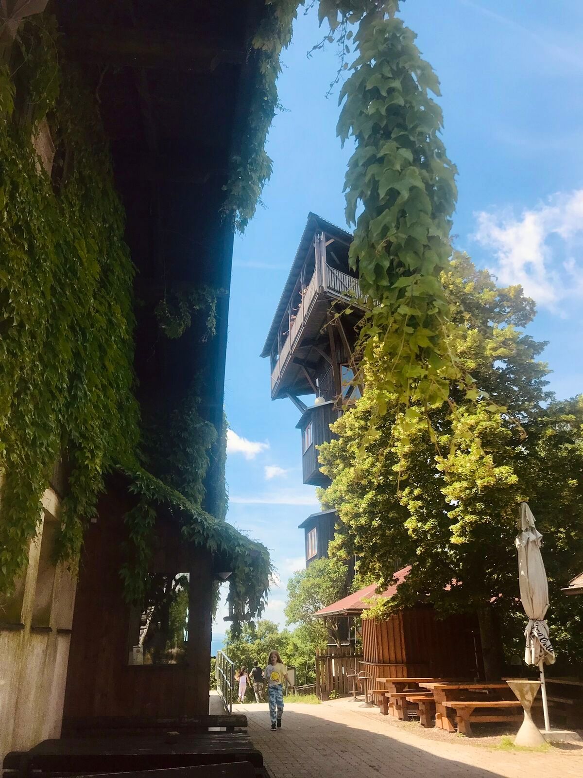
The Laurenzi route offers a varied combination of scenic and cultural highlights in the Vienna Woods. The ascent to Hochstraß is particularly impressive and is rewarded with beautiful views of the surrounding hilly landscape. Another highlight is the route over the Buchberg, where the Buchbergwarte offers a wide panoramic view over the foothills of the Alps and the Vienna Basin. The historical sites along the route, including Stein Monastery and Burgstall, which offer insights into the history of the region, are well worth a cultural visit. The varied mix of forest, meadow and asphalt paths ensures a varied riding experience and makes the route particularly attractive for ambitious mountain bikers.



The route starts at the sports center in Neulengbach and follows the Laabental cycle path to Außerfurth near Altlengbach. After passing through the town, it goes sweat-inducing and demanding uphill over Kogl and Lengbachl to Hochstraß. Alternating between forest and meadow, it then continues steadily downhill to Gasthaus Mayer, where we cross the B44 and cycle via Kaiserspitz, Kloster Stein, Burgstall, and Johannesberg to the Buchberg with its watchtower. Finally, we comfortably roll back to the start.
Surface: Asphalt 81%, gravel 14%, forest/meadow 5%
A safe and functional mountain bike is a prerequisite for all routes. Helmet and gloves protect in case of falls and can be supplemented by knee and elbow protectors on single/shared trails. A modern mountain bike with disc brakes and sufficient tire tread is recommended. For single and shared trails from the red difficulty level, a full-suspension bike with modern geometry is recommended. Tools, tire levers, pump, and spare tube help in case of a breakdown. Sufficient provisions (drinks and food) should also be carried along with a mobile phone and wind/rain jacket.
Before each ride, check the functionality of brakes, tires, and suspension fork/shock absorber. Always ride with hazard awareness and controlled speed and adapt the route choice to the riding skills of the group and the terrain. The Fair Play rules must always be observed. Single/shared trails as well as built trails in trail parks and trail centers increasingly feature stones, roots, steep sections, steps, and hairpin turns that require specific riding skills. When in doubt, simply dismount and push the bike.
A1, exit Altlengbach, B19 to the second roundabout, there take the second exit onto Unterthurm, continue to Neulengbach.
The elevation data for this route were calculated based on A-MAP. Slightly different figures are unavoidable due to various map bases of routing/navigation apps and devices. More information can be found in the following blog post!
Wienerwald Tourismus GmbH
Hauptpl. 11, 3002 Purkersdorf
Tel. +43/2231/621 76
E-mail: office@wienerwald.info
Website: www.wienerwald.info
Information for possible excursion destinations:
EichgrabenAltlengbachNeulengbachMaria-AnzbachDining options:
Gasthaus zum KirchenwirtGasthof SchmölzDas SteinbergerSchutzhaus am BuchbergGasthaus Mayer
Pridobite vpogled
Vedno v živo na mestu z več kot 9.500 spletnimi kamerami. bergfex Kot uporabnik Pro si lahko zdaj ogledate ustrezne spletne kamere za številne izlete v aplikaciji izleti iz. Tako si lahko neposredno ogledate trenutne razmere.
Priljubljeni izleti v okolici
-
4.7
Schöpfl
svetlobaPohodništvo 9.52 km -
4.6
Rundwanderung Gablitz Gemeindeamt - Troppberg - Rabenstein - Gablitz Gemeindeamt
svetlobaPohodništvo 12 km -
4.0
Schöpfl von Sankt Corona
srednjaPohodništvo 10.1 km -
4.6
Tut Gut Wanderweg Pressbaum 3
srednjaPohodništvo 12.5 km -
4.2
INNERMANZING Schoderleh Falkensteiner Htt. Hasenriegel Forsthof Edhof ret. 20230114
svetlobaPohodništvo 13.1 km -
4.7
Schöpfl von Kammhöhe aus
svetlobaPohodništvo 13.2 km -
3.9
Circular hike around the center of the Biosphere Reserve
srednjaPohodništvo 7.79 km -
4.4
Von St. Corona auf den Schöpfl - Angelos Touren
svetlobaPohodništvo 6.68 km -
4.8
Circular hike to Buchberg lookout
svetlobaPohodništvo 9.24 km -
4.0
Wienerwaldsee walking
svetlobaPohodništvo 7.05 km
Pohodništvo in sledenje


Ne zamudite ponudb in navdiha za naslednje počitnice
Vaš e-poštni naslov je bil dodan na poštni seznam.





