



Kaltenleutgeben route

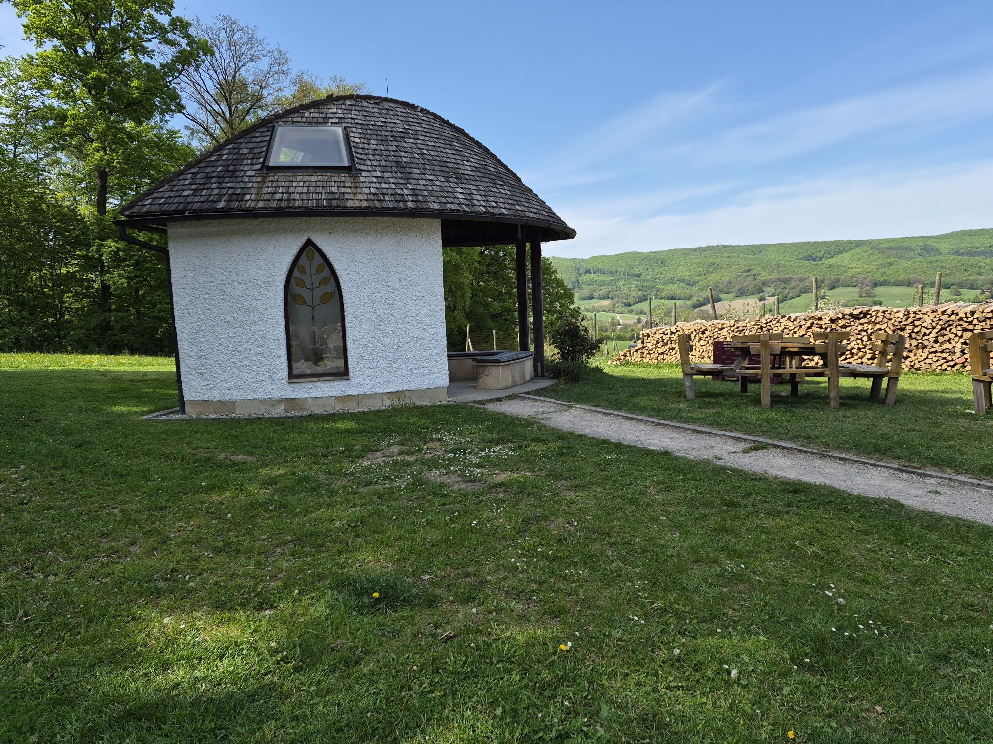

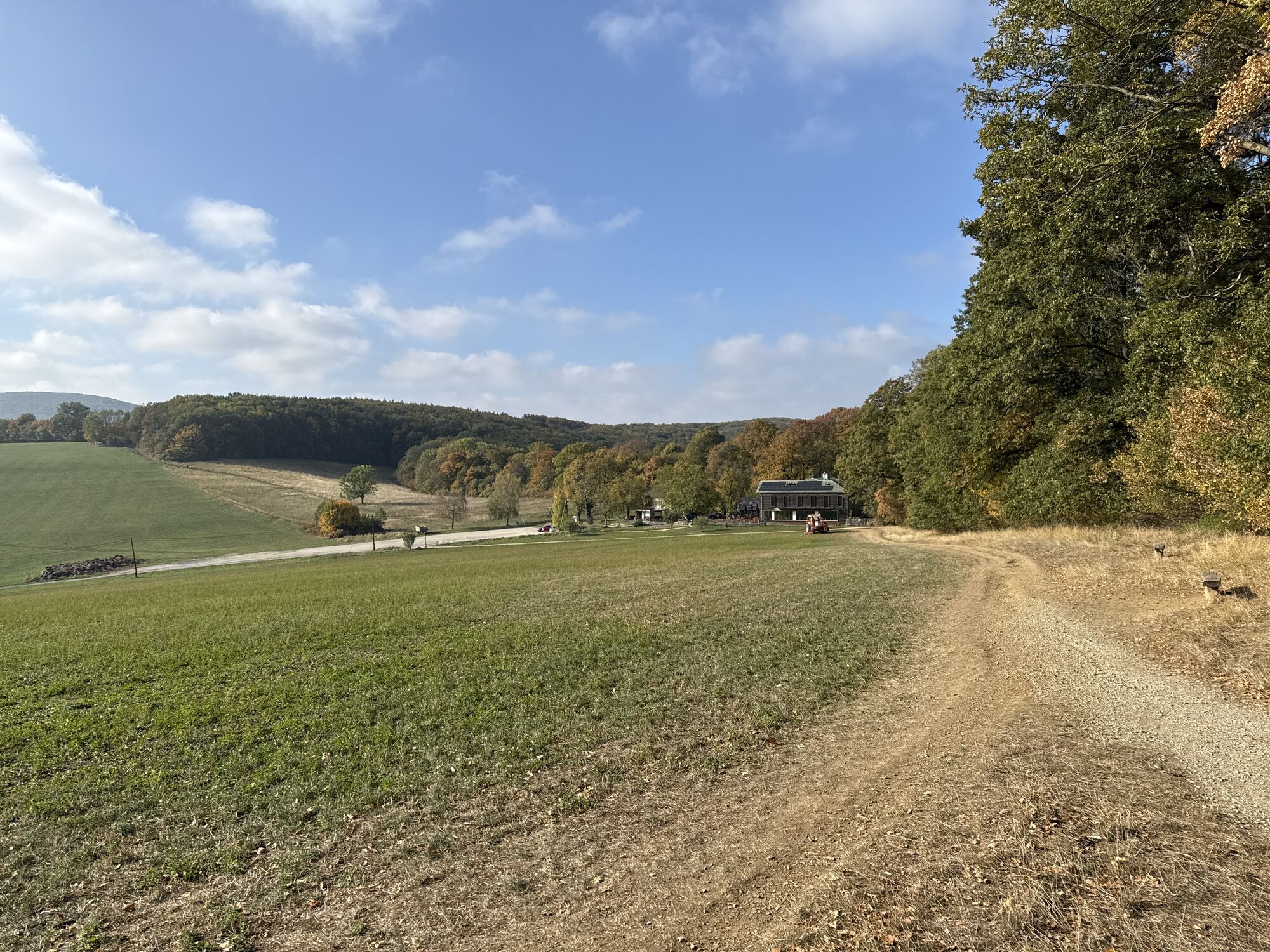
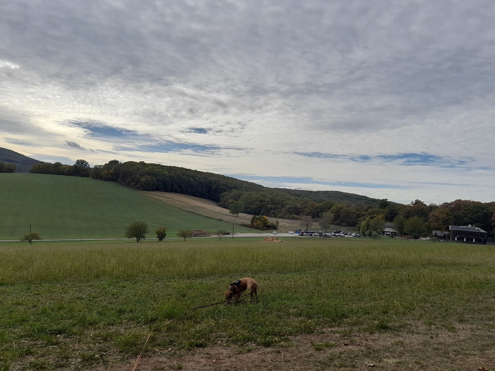
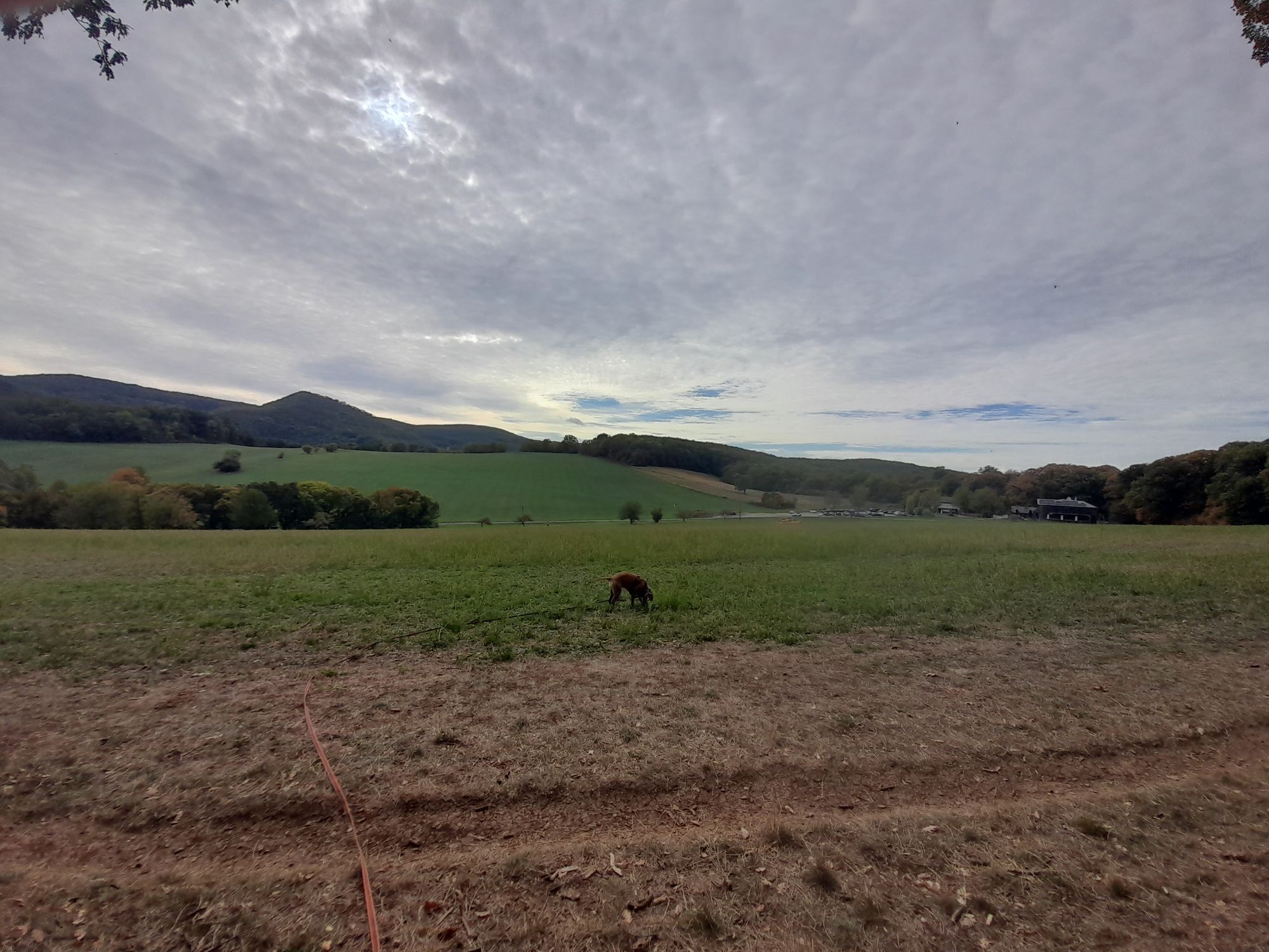
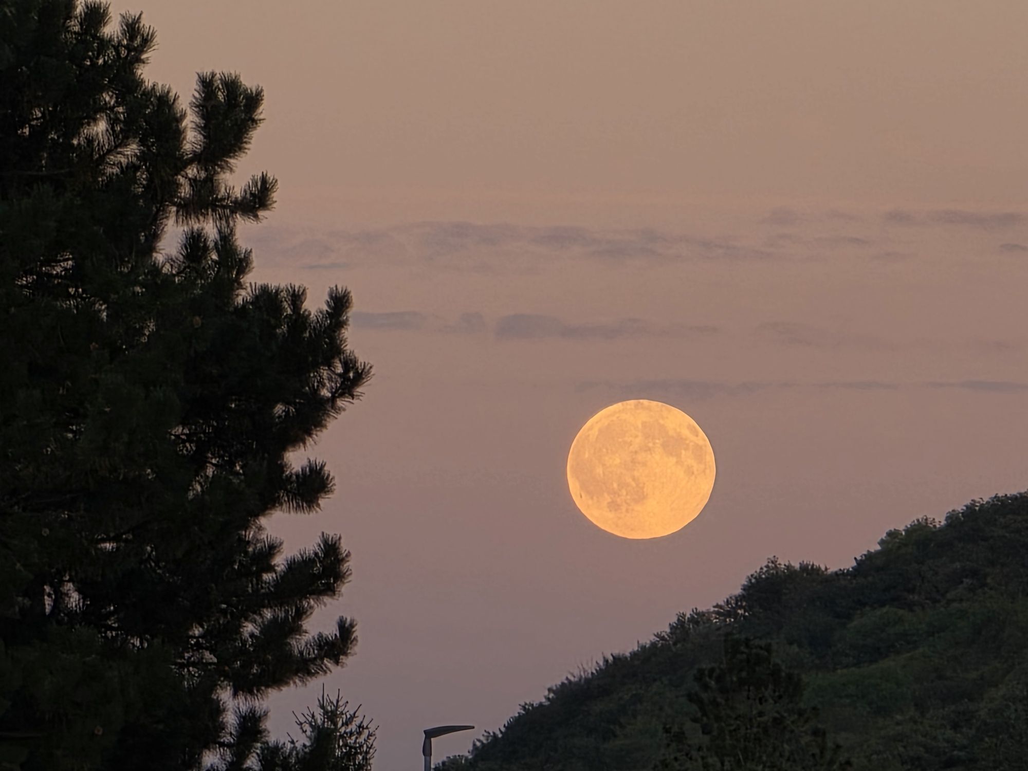
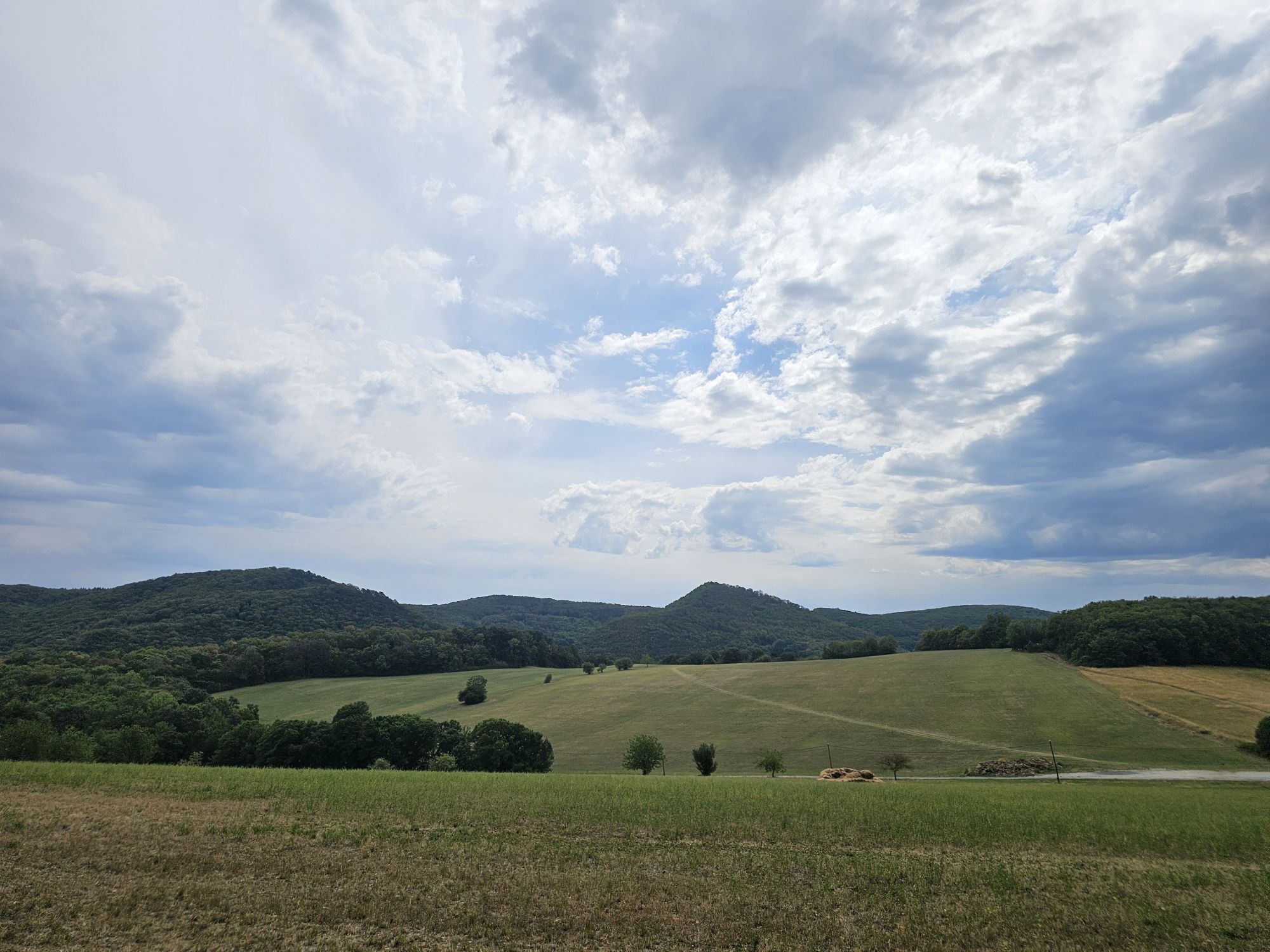
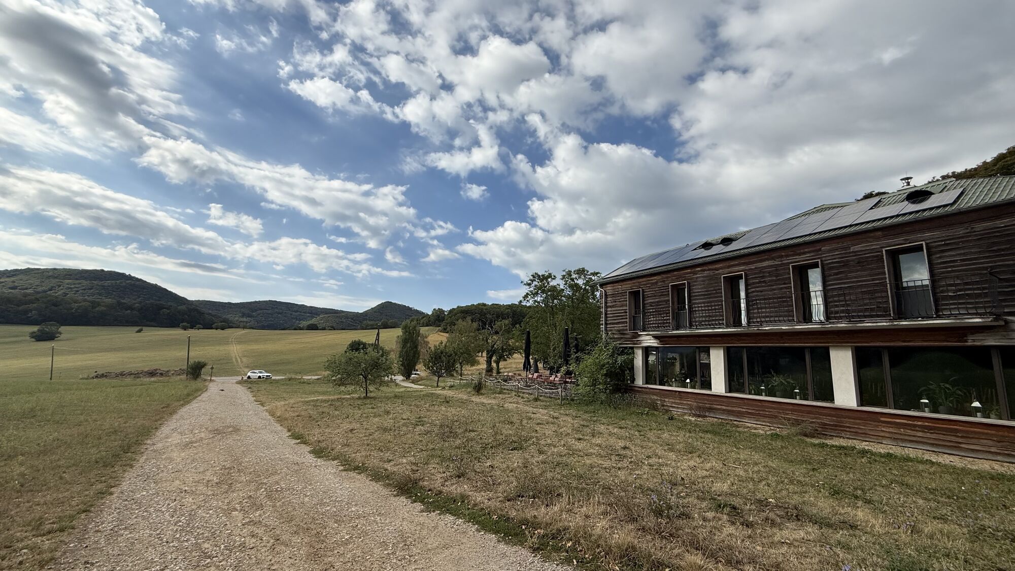
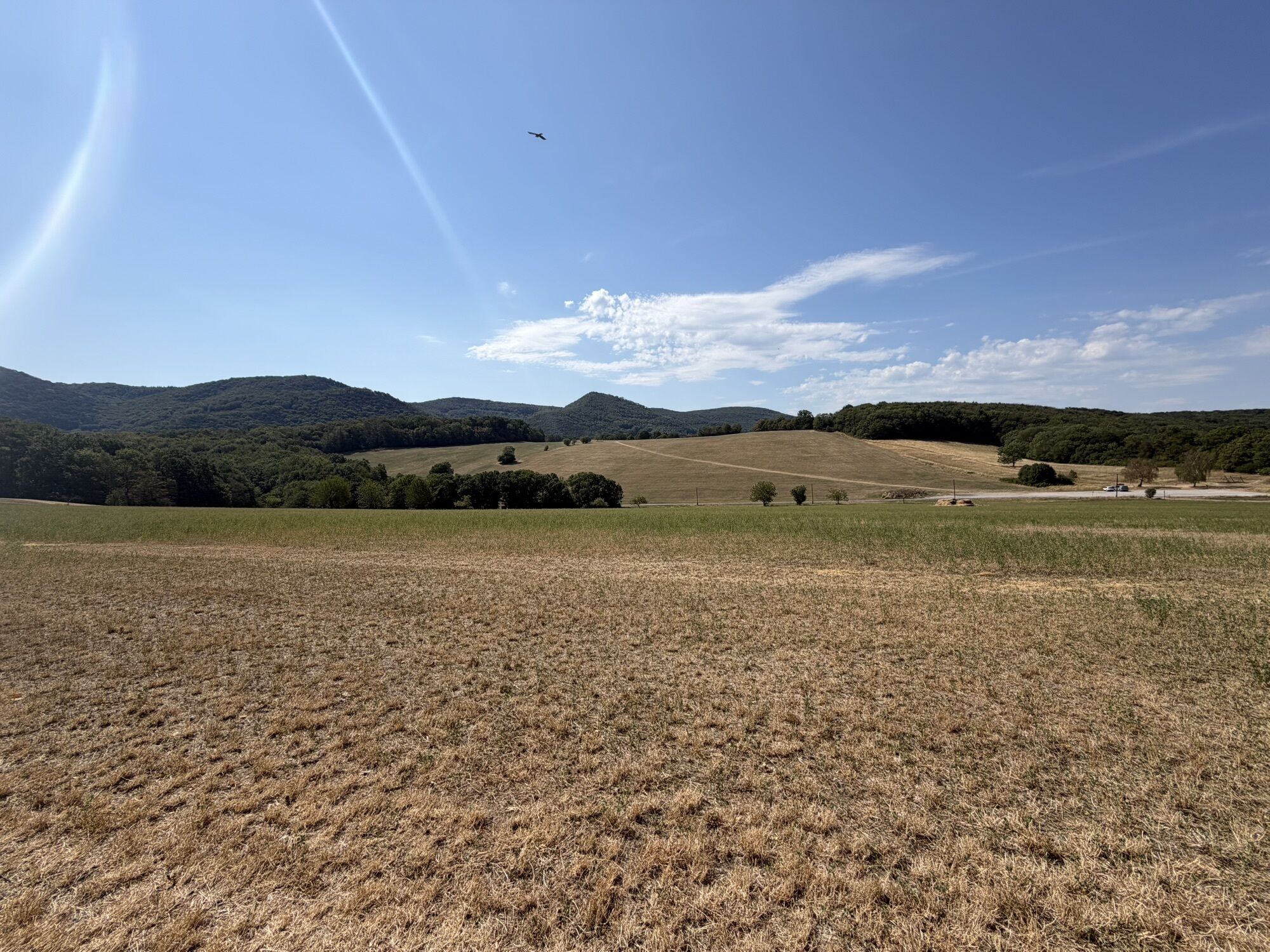
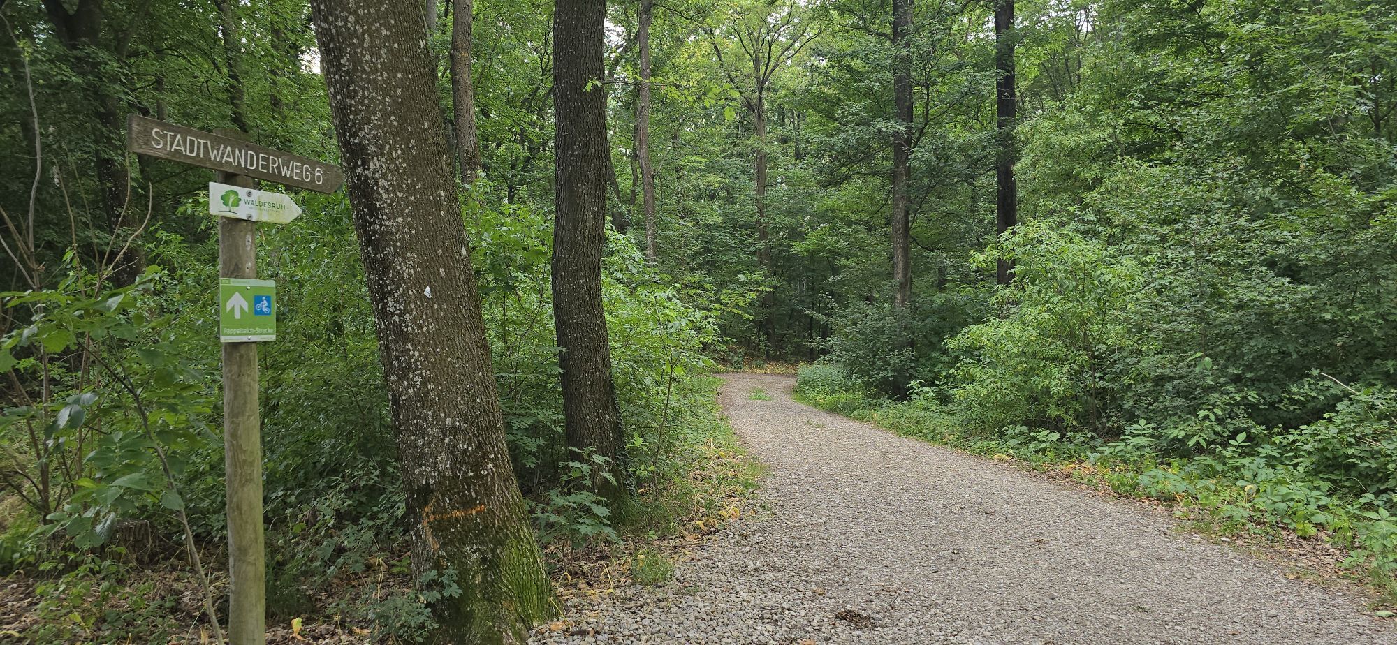
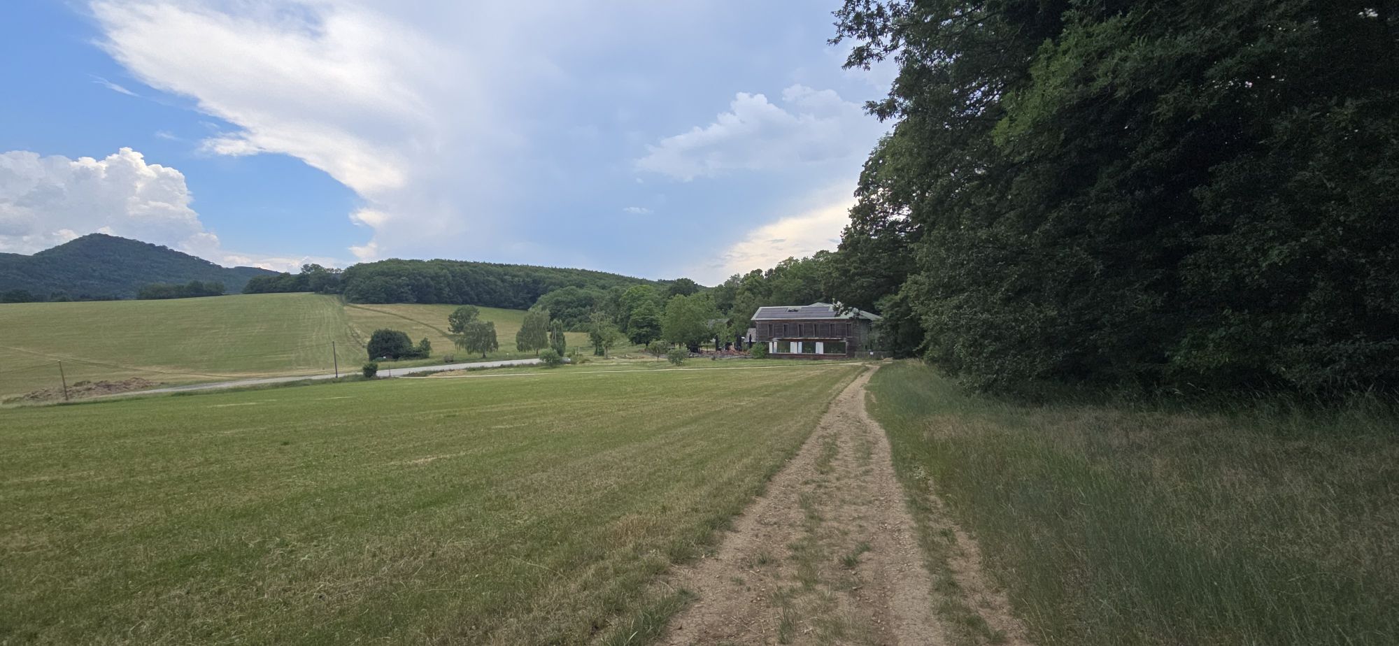
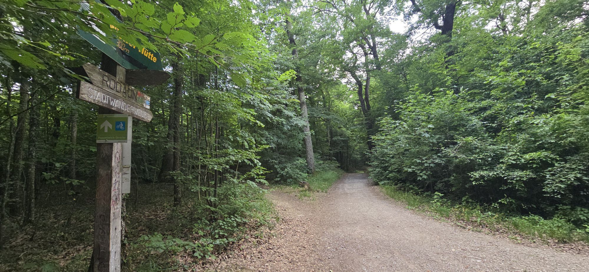
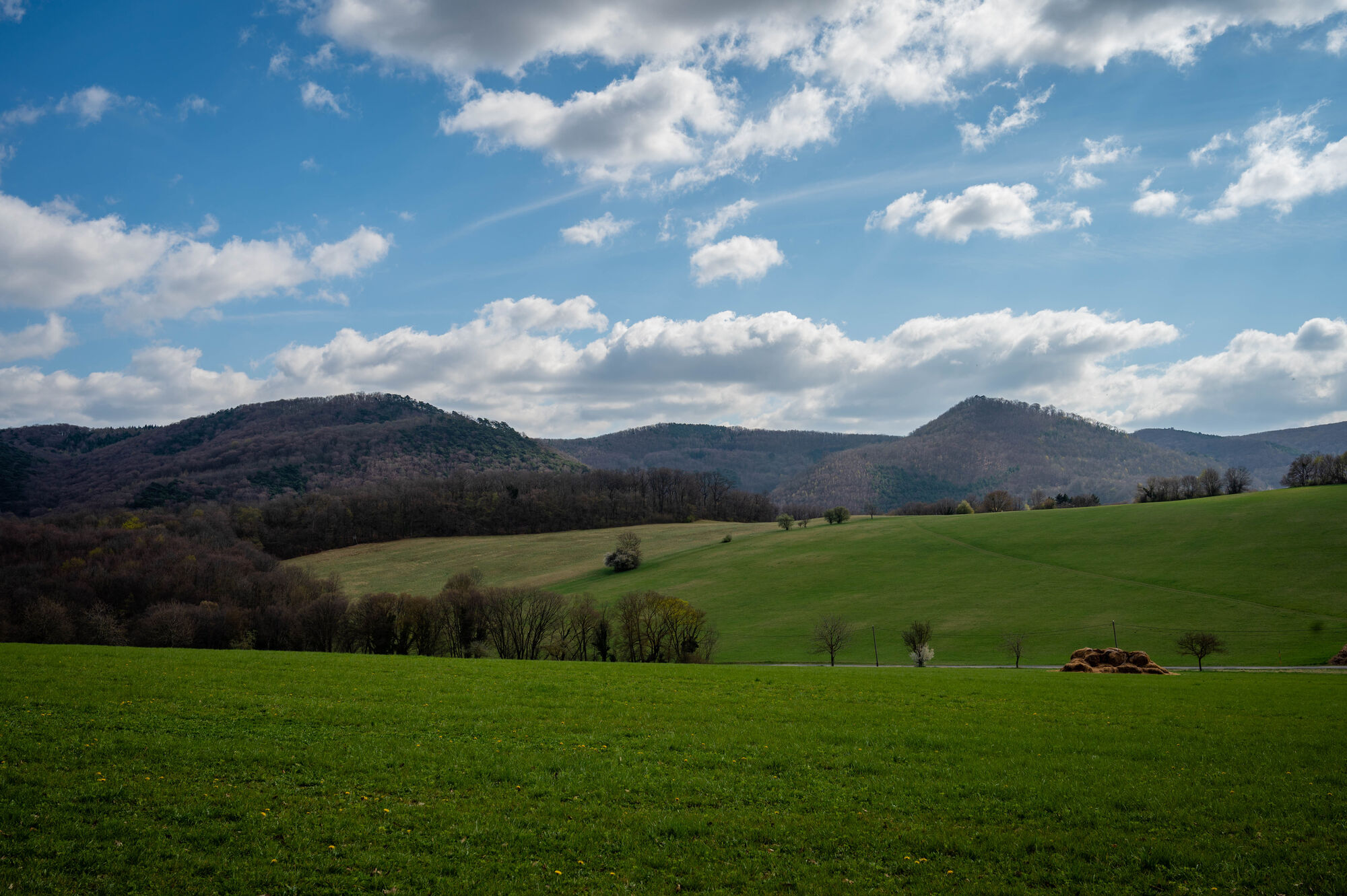


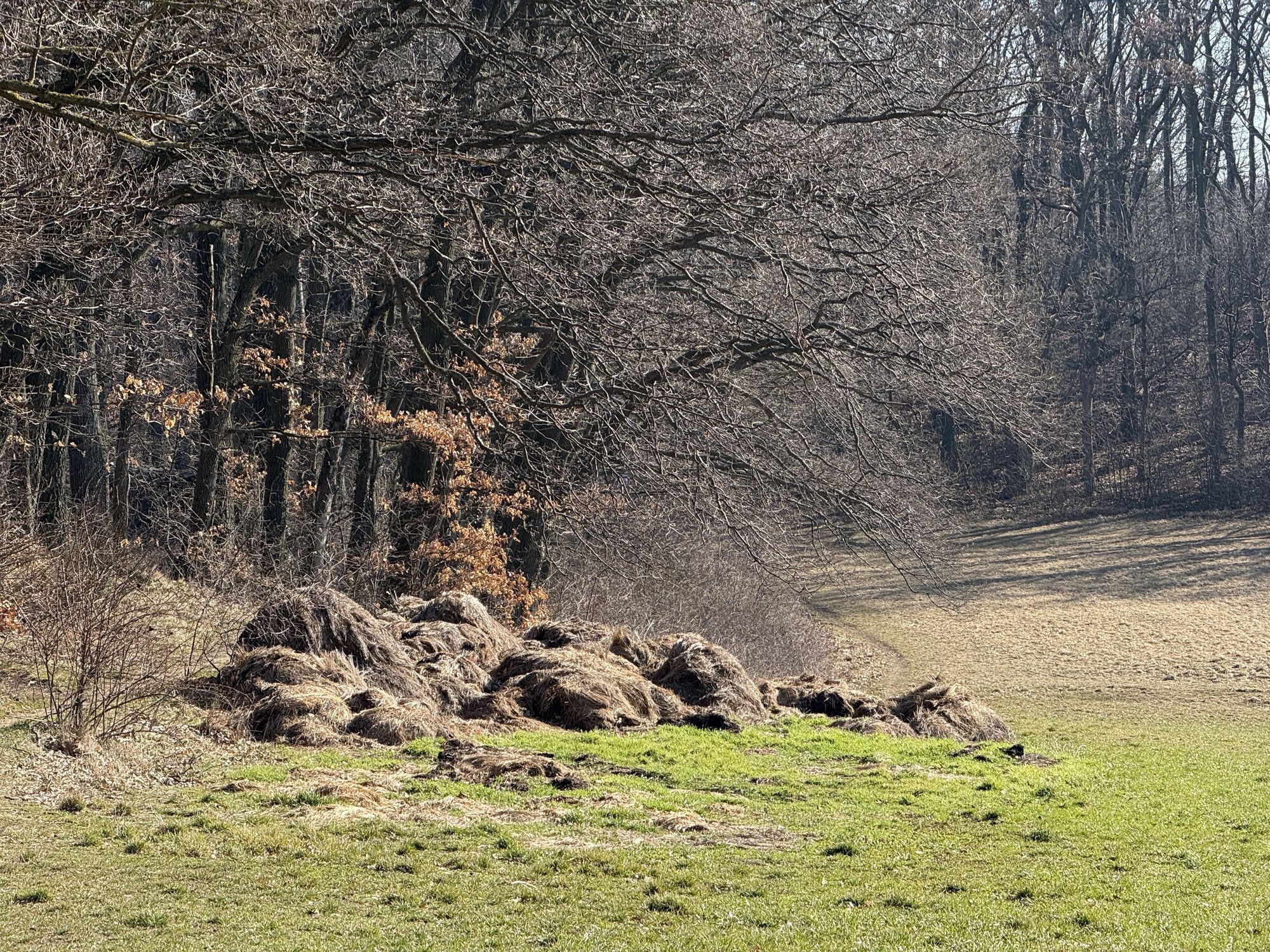


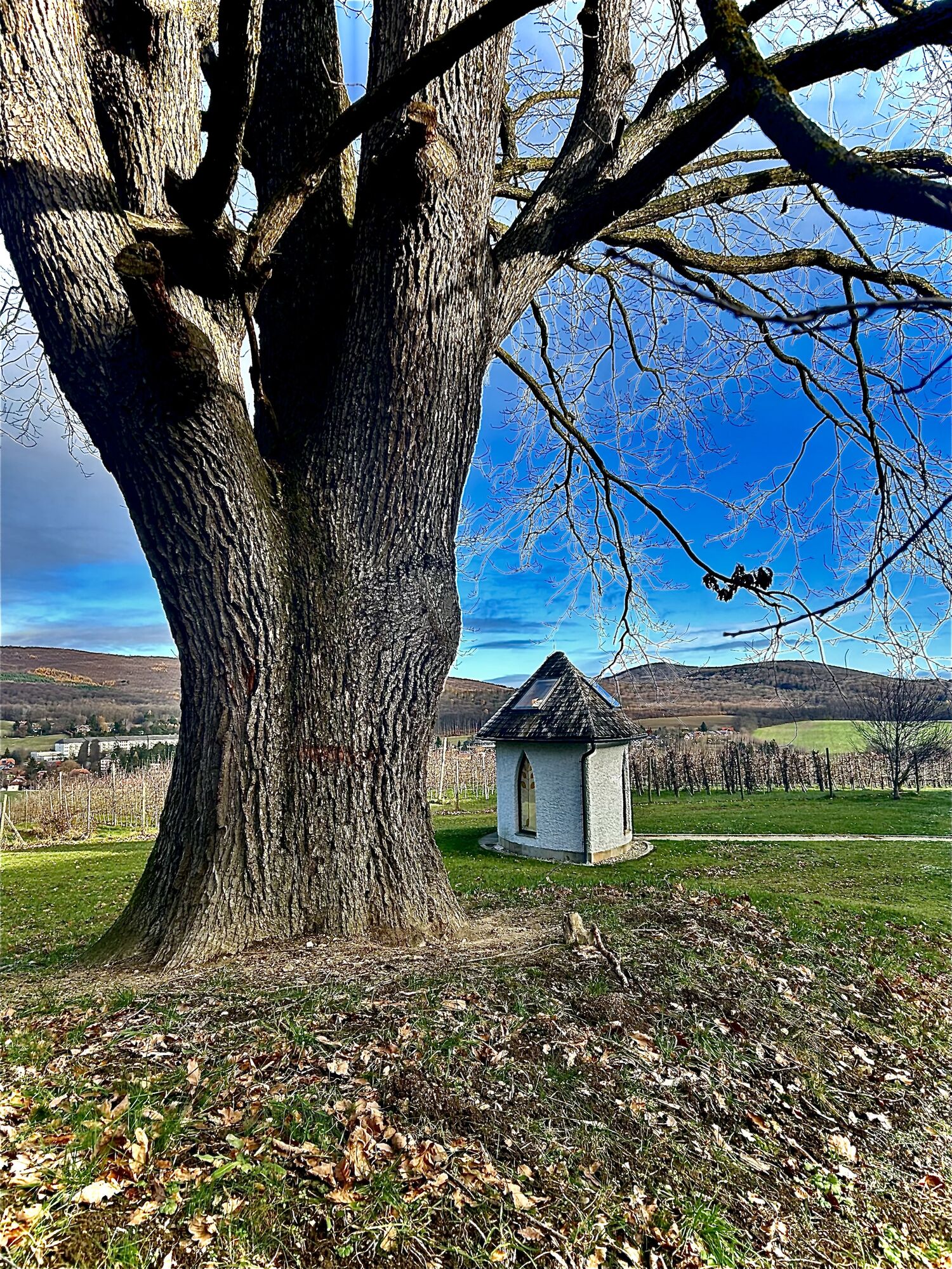
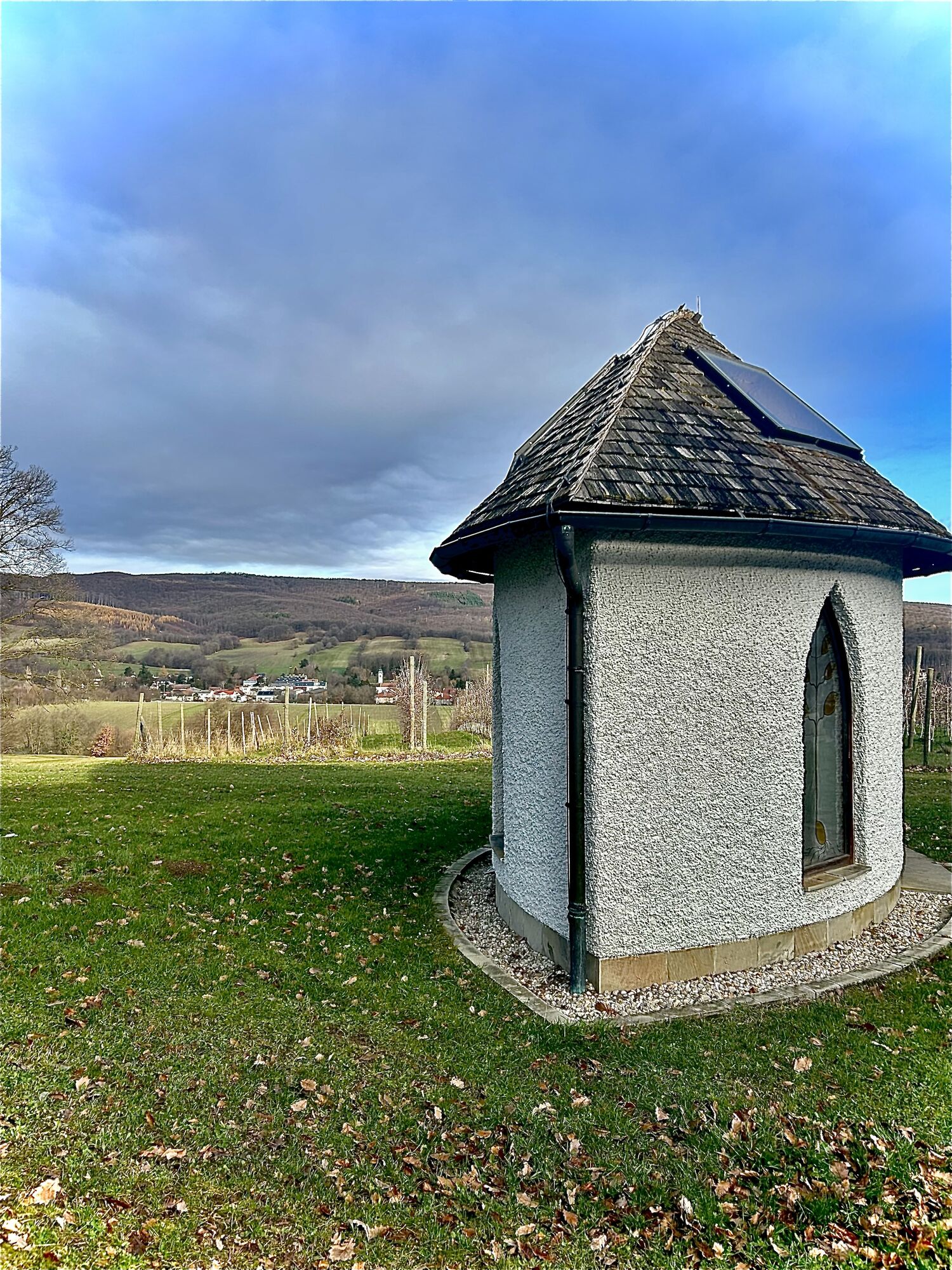

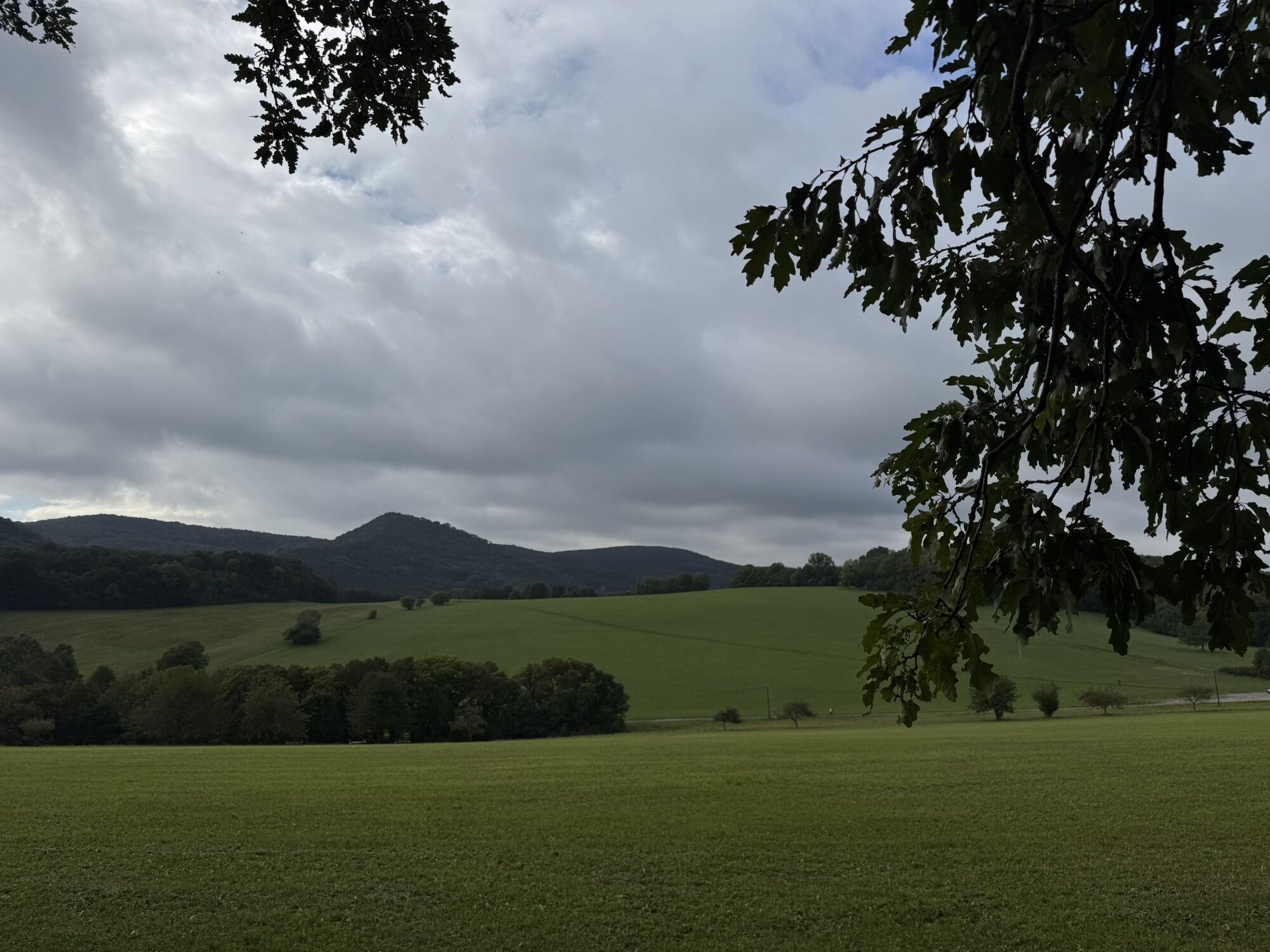
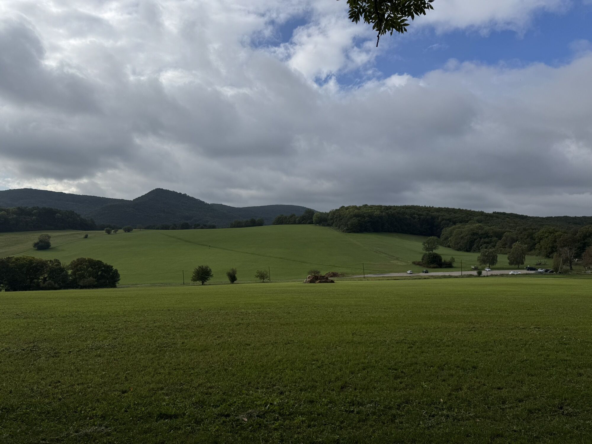
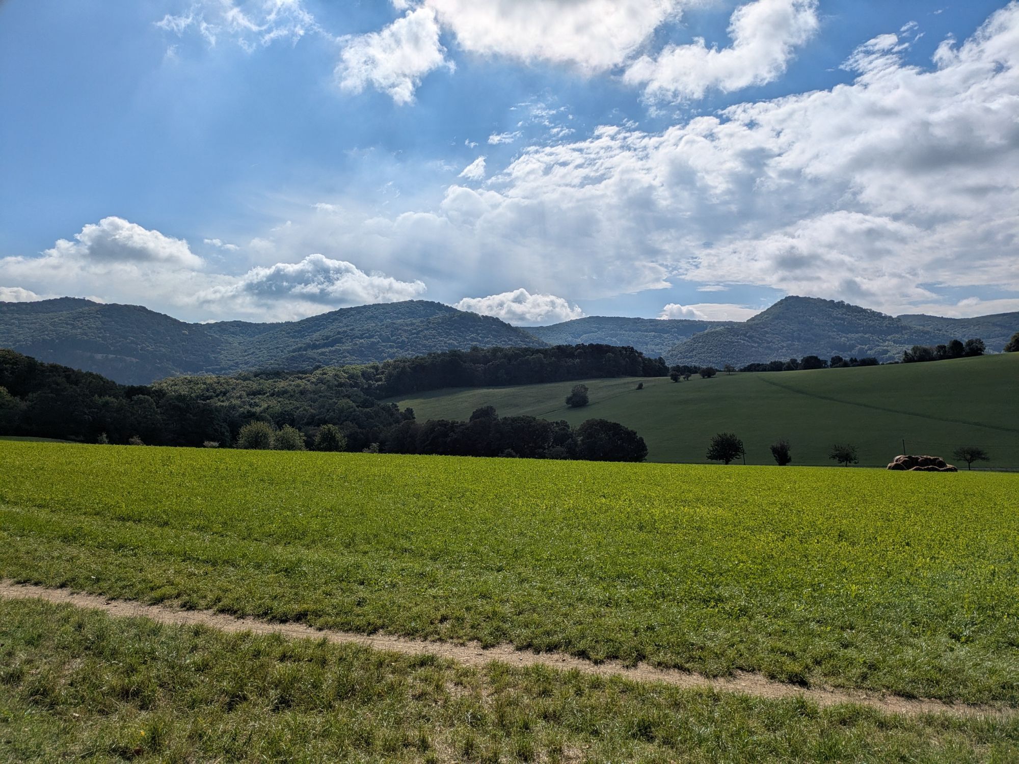
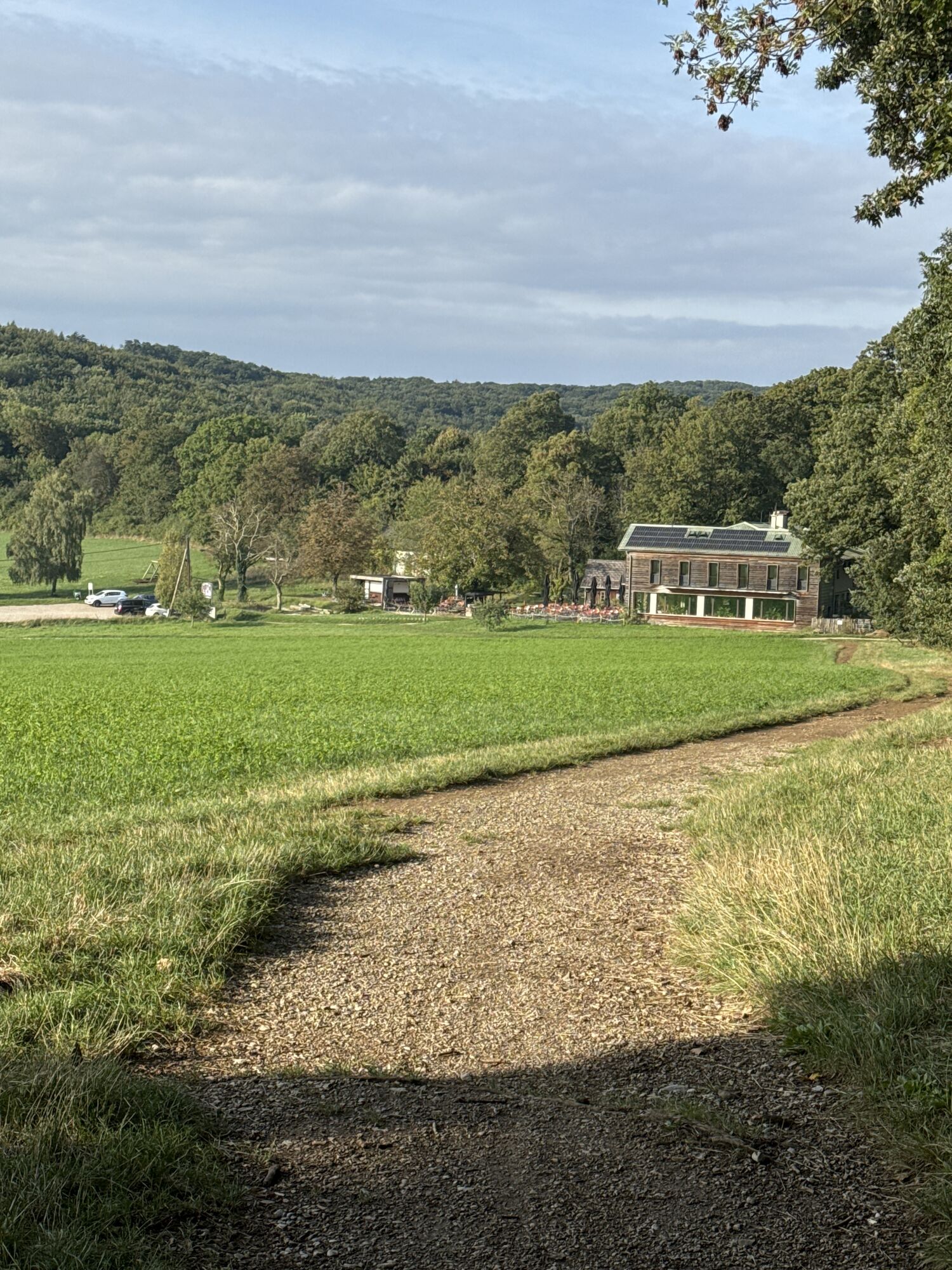
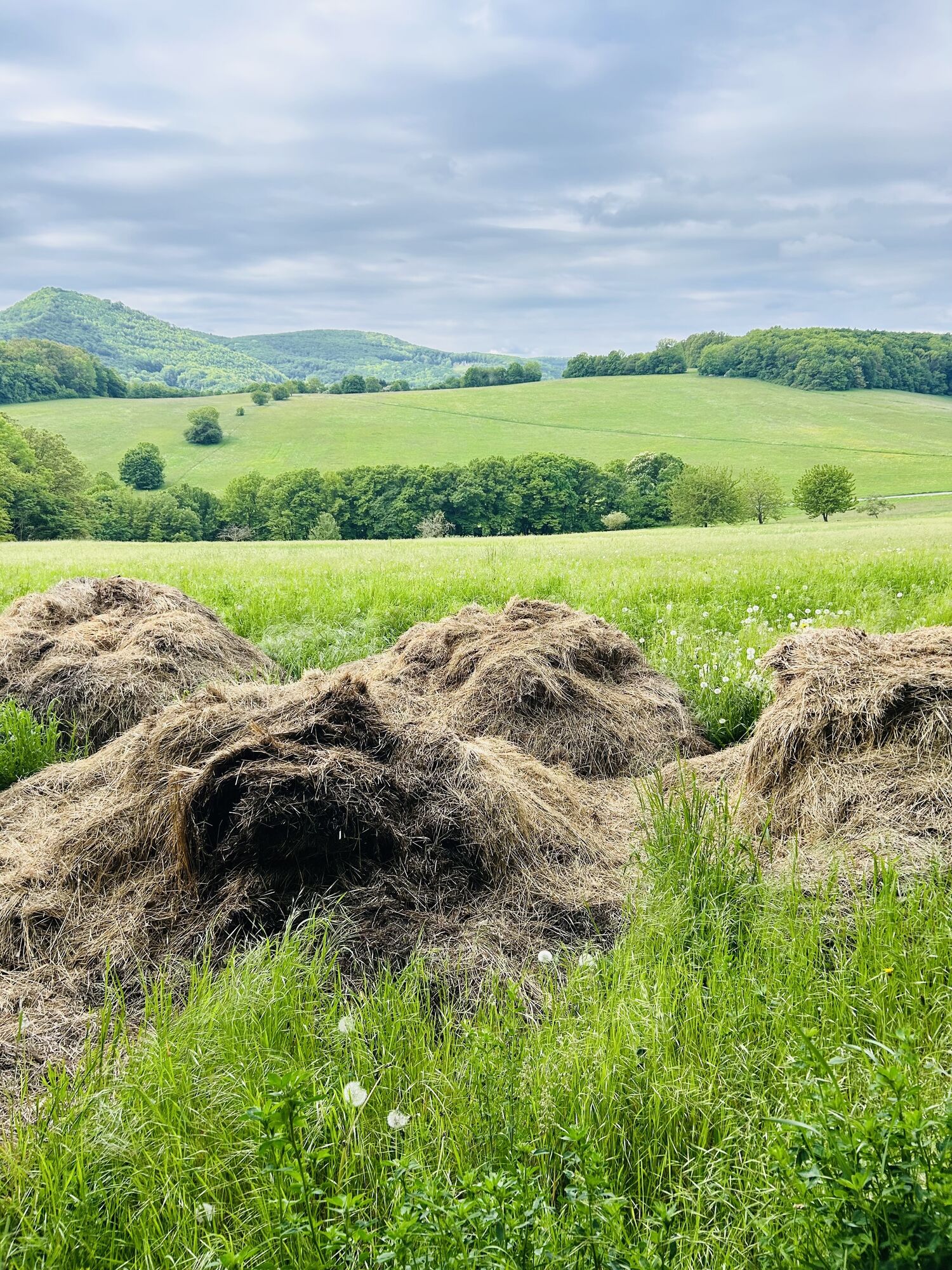



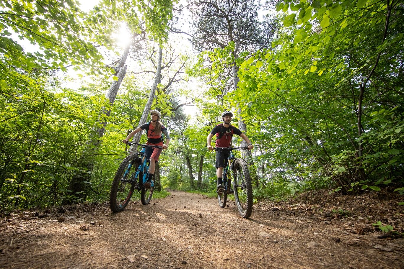
The Kaltenleutgeben route leads through the varied landscapes of the Vienna Woods and offers several points of interest along the route. A particular highlight is the Sieben Eichen power spot, a peaceful...
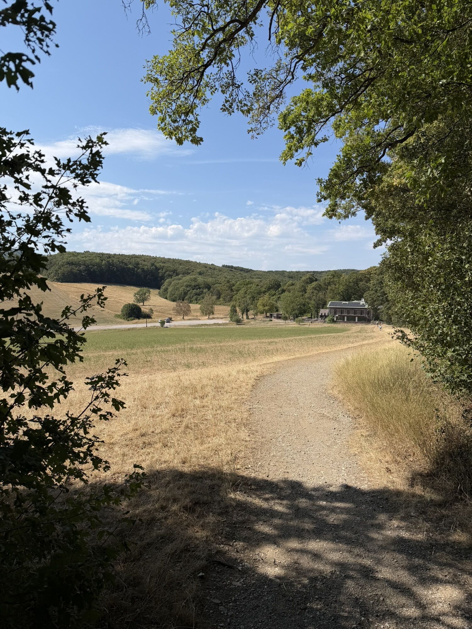
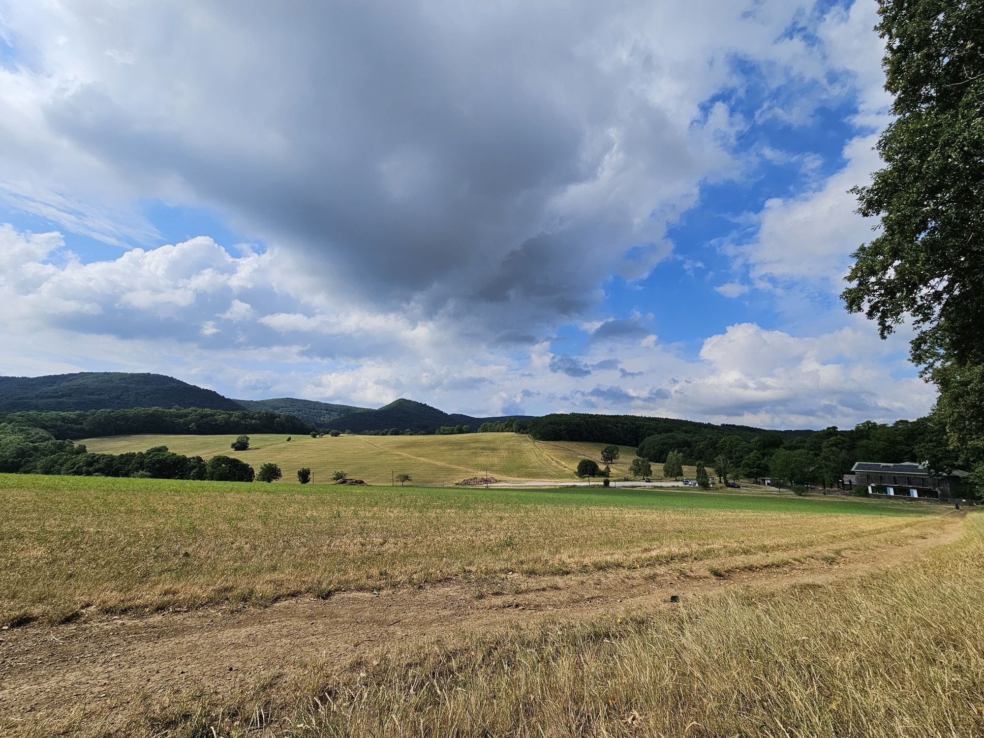
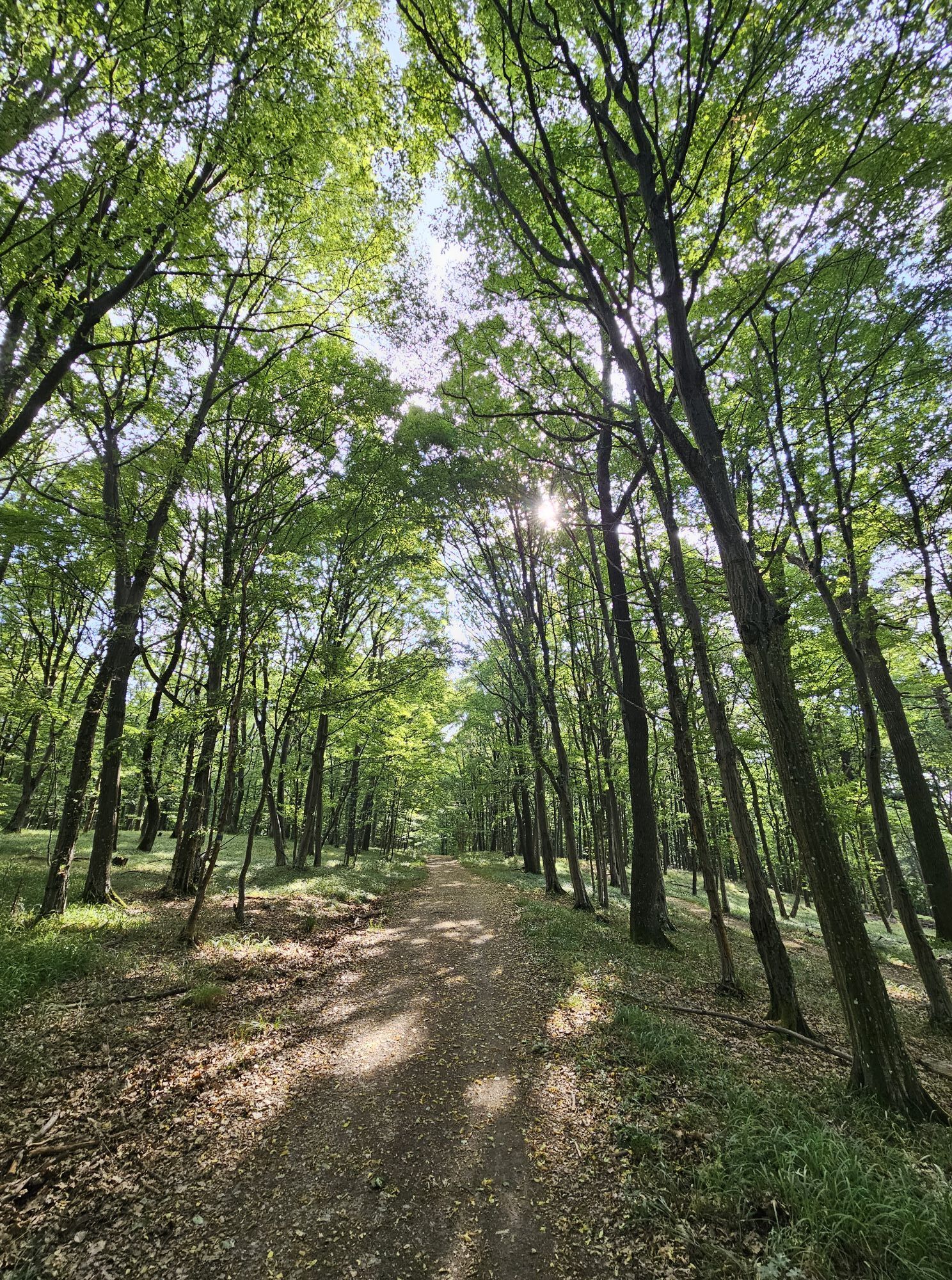
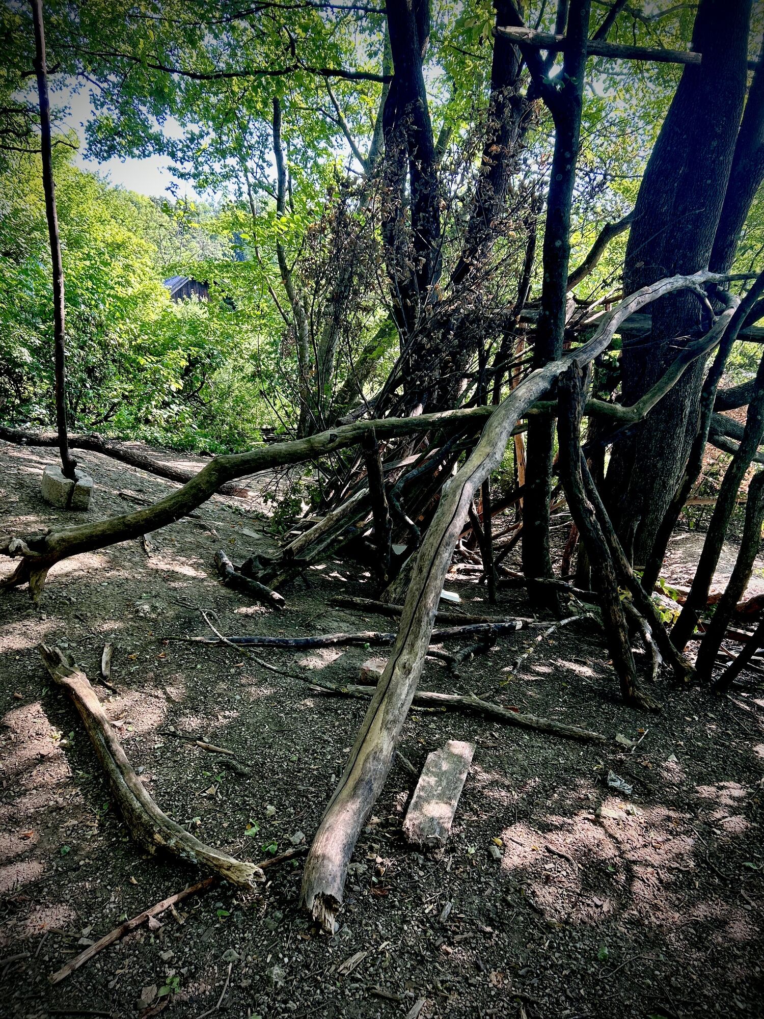
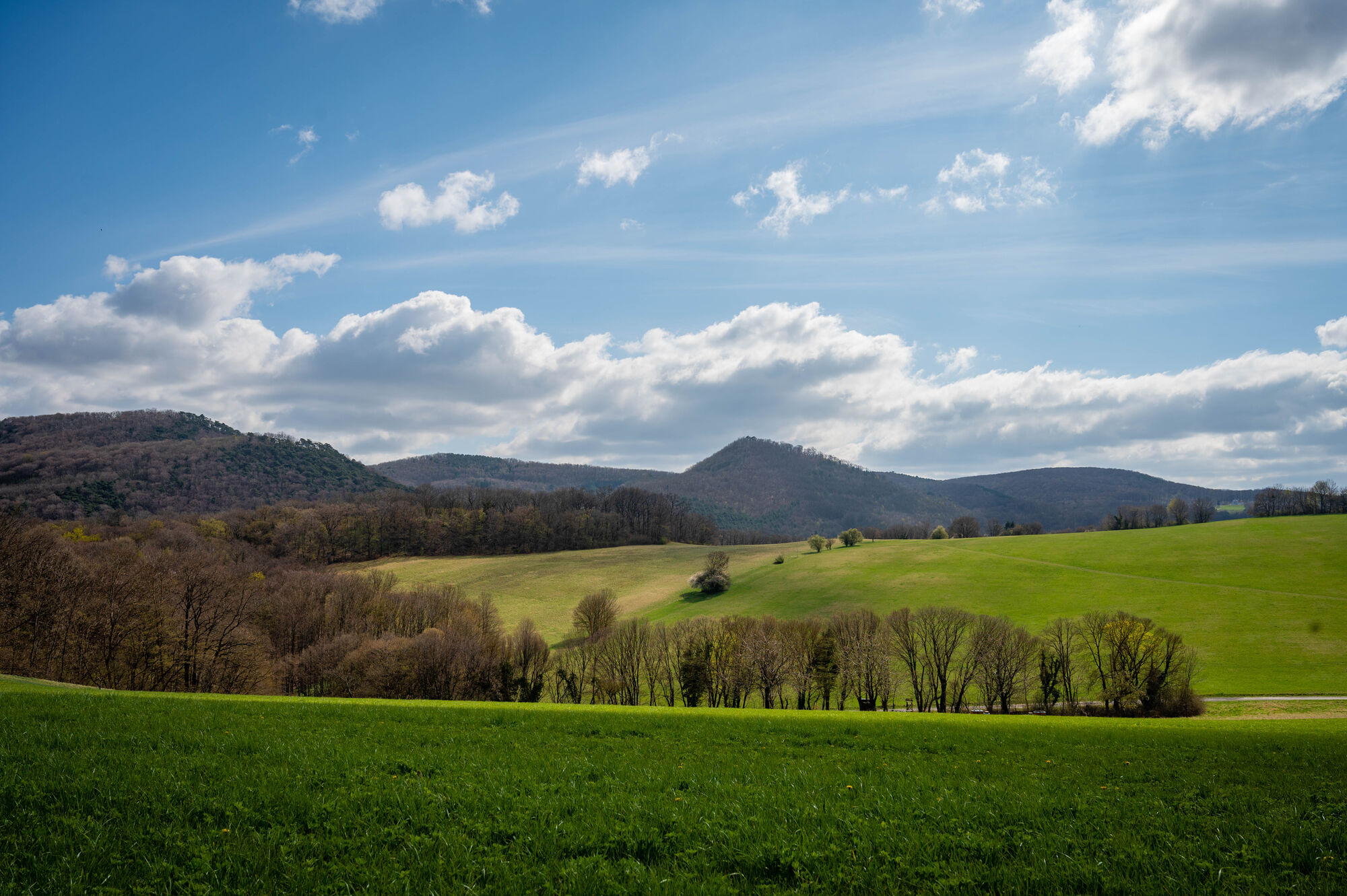
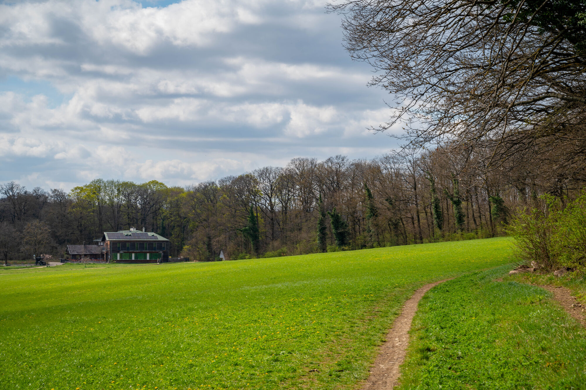
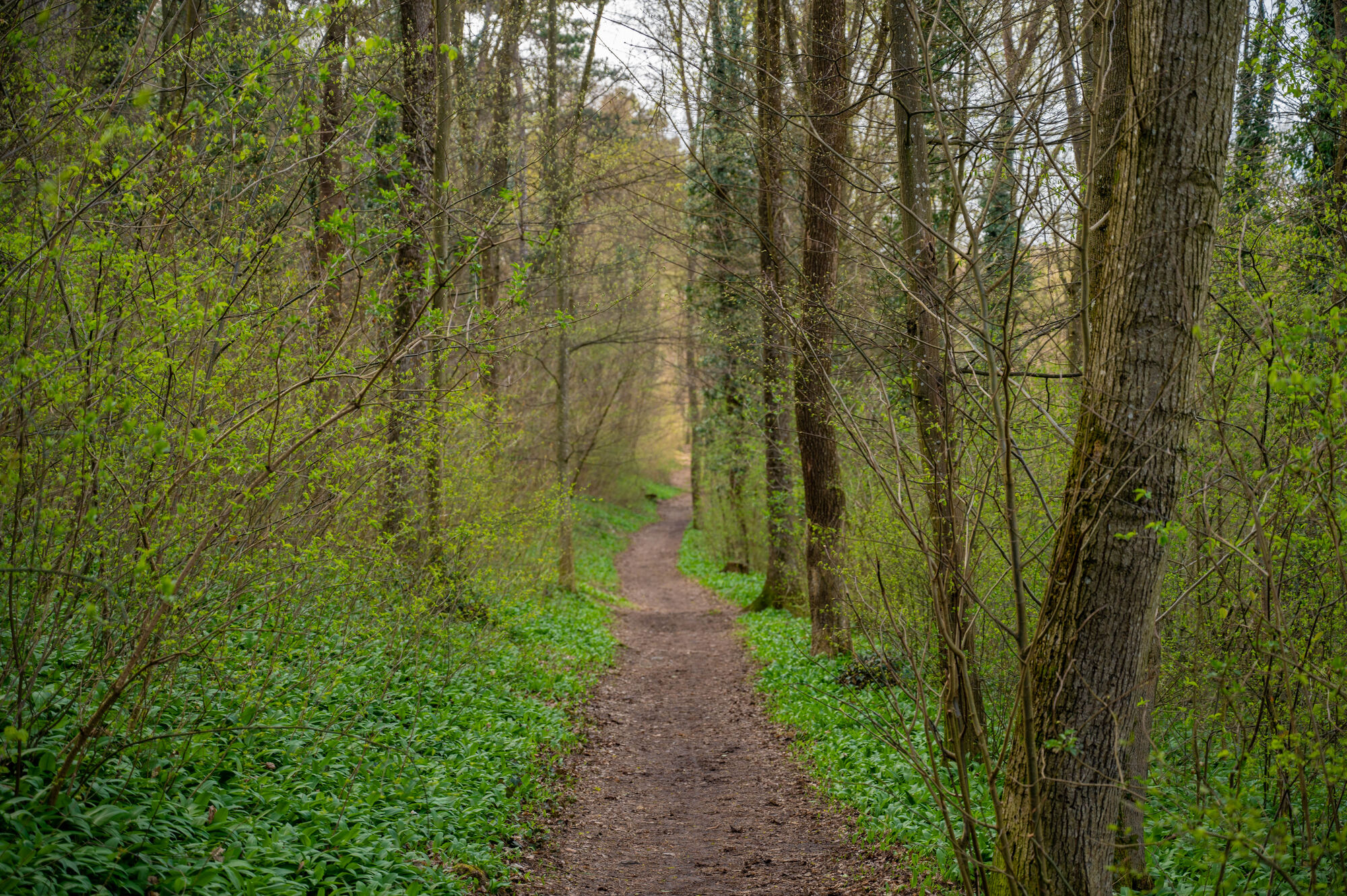
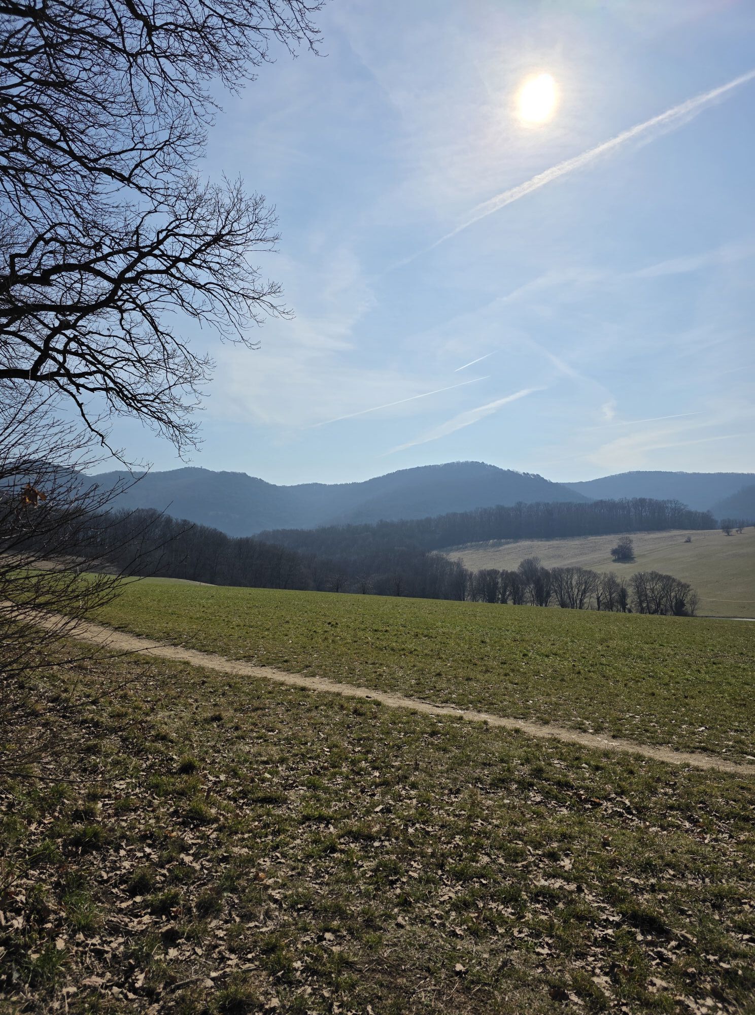
The Kaltenleutgeben route leads through the varied landscapes of the Vienna Woods and offers several points of interest along the route. A particular highlight is the Sieben Eichen power spot, a peaceful place in the middle of nature that invites you to pause for a moment. The ascent to the convent of the Sisters of Mercy in Laab im Walde not only offers a sporting challenge, but also a historical insight. The tour runs through the Leopoldsdorf forest with its dense stands of trees and continues to Kalksburg, where the mixture of forest and gravel paths makes for a pleasant ride. The route also offers beautiful views of the Vienna Basin and combines a nature experience with cycling variety.


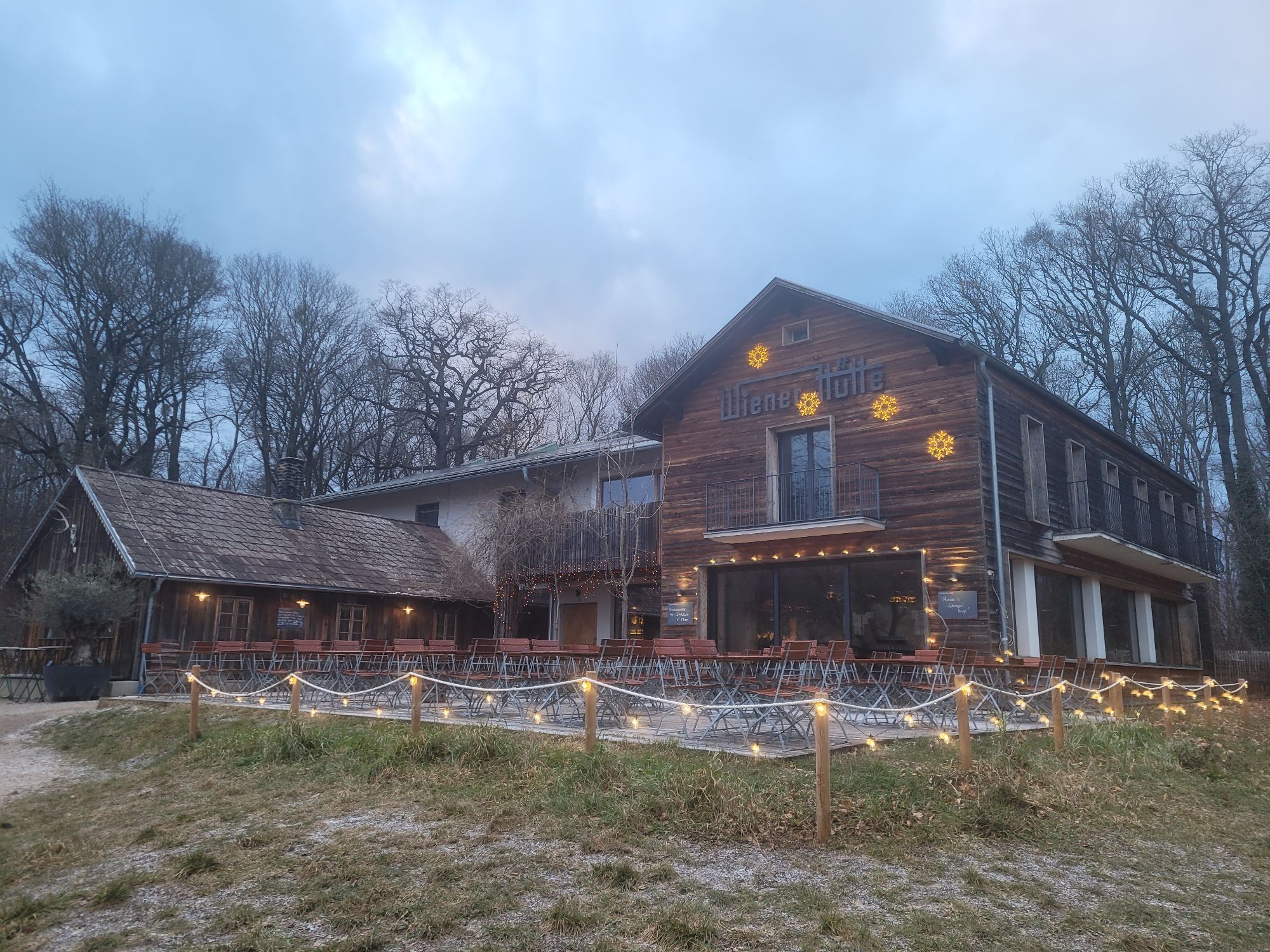
From the Wiener Hütte, we follow a wide forest road down through the Leopoldsdorfer Forest to Kalksburg, where we turn sharply left onto Zanglerstr. and follow the cycle path and then the Liesingtal-Str. Away from the busy Laaber Str., we cycle to Laab im Walde, where we turn left into Klostergasse and ascend to the convent of the Sisters of Mercy. Down to Breitenfurt, where after a short ride on the L2102 we turn left onto the signposted path back to the starting house.
Surface: Asphalt 37%, gravel 59%, forest/meadow 4%
A safe and functional mountain bike is a prerequisite for all routes. Helmets and gloves protect against falls and can be supplemented on single/shared trails with knee and elbow protectors. A modern mountain bike with disc brakes and sufficient tire profile is recommended. For single and shared trails from the red difficulty level, a full-suspension bike with modern geometry is recommended. Tools, tire levers, pump, and spare tube help with breakdowns. Sufficient supplies (drinks and food) should also be carried along with a mobile phone and wind/rain jacket.
Before every ride, check the functionality of brakes, tires, and suspension fork/shock absorber. Always ride with hazard awareness and controlled speed and adjust the route choice to the group's riding skills and the surface. The Fair Play rules must be observed at all times. Single/shared trails as well as constructed routes in trail parks and trail centers have increased stones, roots, steep sections, steps, and steep turns that require specific riding skills. In case of doubt, simply dismount and push the bike.
A21 to exit Brunn am Gebirge, B12 to Ketzergasse, then left, B13 to Hochstraße, Hochstraße to Kaltenleutgebner Straße, then right, Kaltenleutgebner Straße to Wienergrabenstraße, then right to Wiener Hütte.
From the west, A1 to Steinhäusl junction, A21 to Heiligenkreuz exit, via Sittendorf, Sulz im Wienerwald and Kaltenleutgeben to Wiener Hütte.
There is a parking lot right next to the Wiener Hütte
Parking Note: Please follow local parking regulations and check for any parking fees or time restrictions. We recommend checking the parking situation in advance to ensure a stress-free trip.
The elevation data for this route were calculated based on the A-MAP. Due to different map sources from routing/navigation apps and devices, slight variations are inevitable. More information can be found in the following blog post!
Vienna Woods Tourism GmbH
Hauptplatz 11, 3002 Purkersdorf
Phone +43/2231/621 76
Email: office@wienerwald.info
Website: www.wienerwald.info
Information for possible excursion destinations:
KaltenleutgebenBreitenfurt near ViennaLaab im WaldeDining options:
Wiener HütteAndi's PfefferkörndlGasthaus Hirschentanz

Priljubljeni izleti v okolici
-
4.8
Kalenderberg und Burg Liechtenstein
svetlobaPohodništvo 8.48 km -
4.7
Naturpark Sparbach
svetlobaPohodništvo 7.08 km -
4.6
Abend/Nachtwanderung Teufelstein
svetlobaPohodništvo 7.15 km -
4.6
Landschaftspark Liechtenstein - Angelos Touren
svetlobaPohodništvo 6.70 km -
4.6
Stadtwanderweg 6 / Zugberg - Maurer Wald (lt. Beschilderung)
svetlobaPohodništvo 13.3 km -
4.6
Rundwanderung Gablitz Gemeindeamt - Troppberg - Rabenstein - Gablitz Gemeindeamt
svetlobaPohodništvo 12 km -
4.6
Stadtwanderweg 3, Hameau (lt. Beschilderung)
svetlobaPohodništvo 9.78 km -
4.5
Stadtwanderweg 4
svetlobaPohodništvo 8.48 km -
4.6
Gumpoldskirchen Anninger Pfaffstättner Kogel retour 20190419
svetlobaPohodništvo 13.8 km -
4.5
Baden Helenental Krainerhütte Cholerakapelle RDW
srednjaPohodništvo 10.1 km
Pohodništvo in sledenje


Ne zamudite ponudb in navdiha za naslednje počitnice
Vaš e-poštni naslov je bil dodan na poštni seznam.


