







Hundsberg Strecke
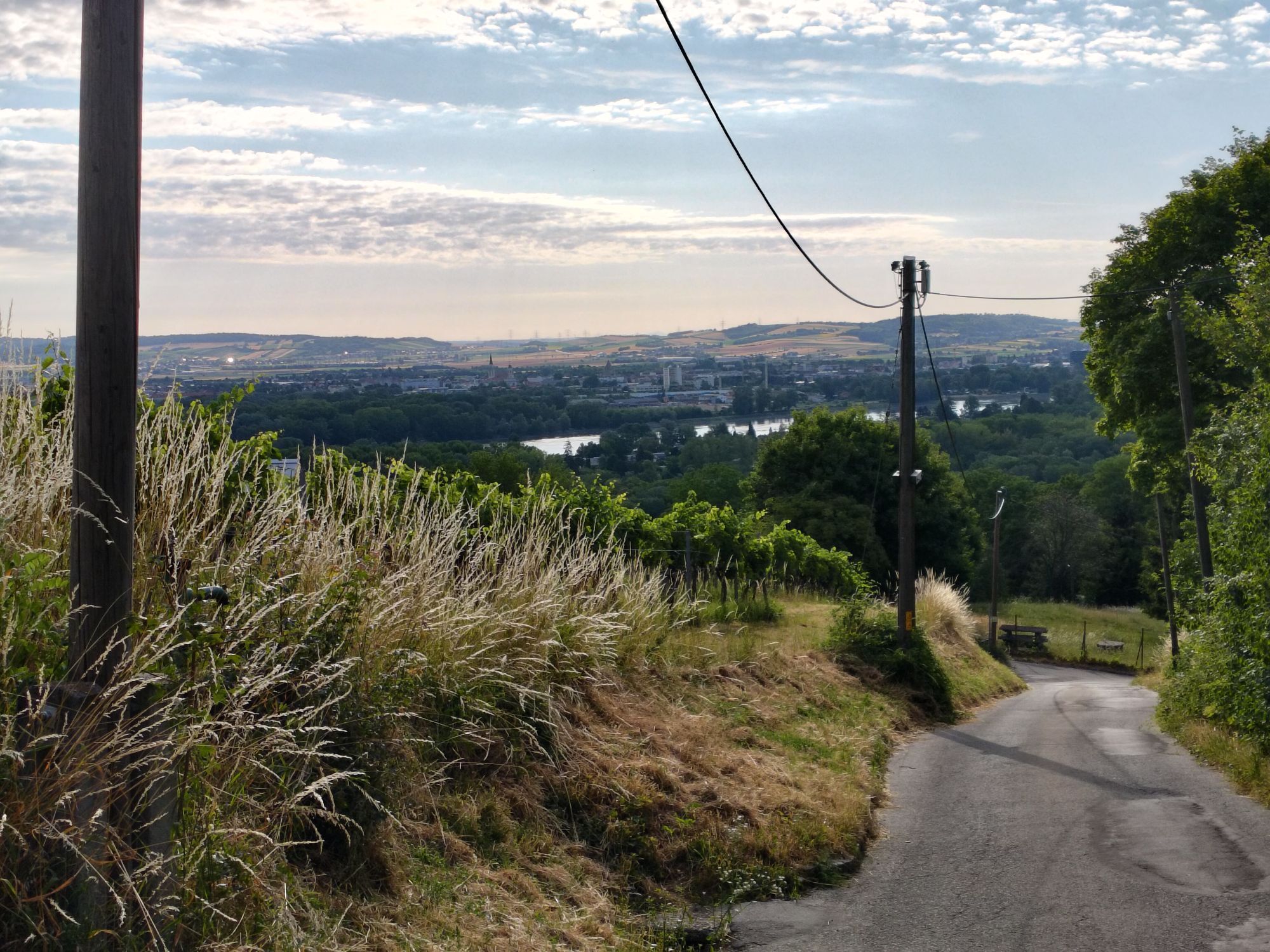
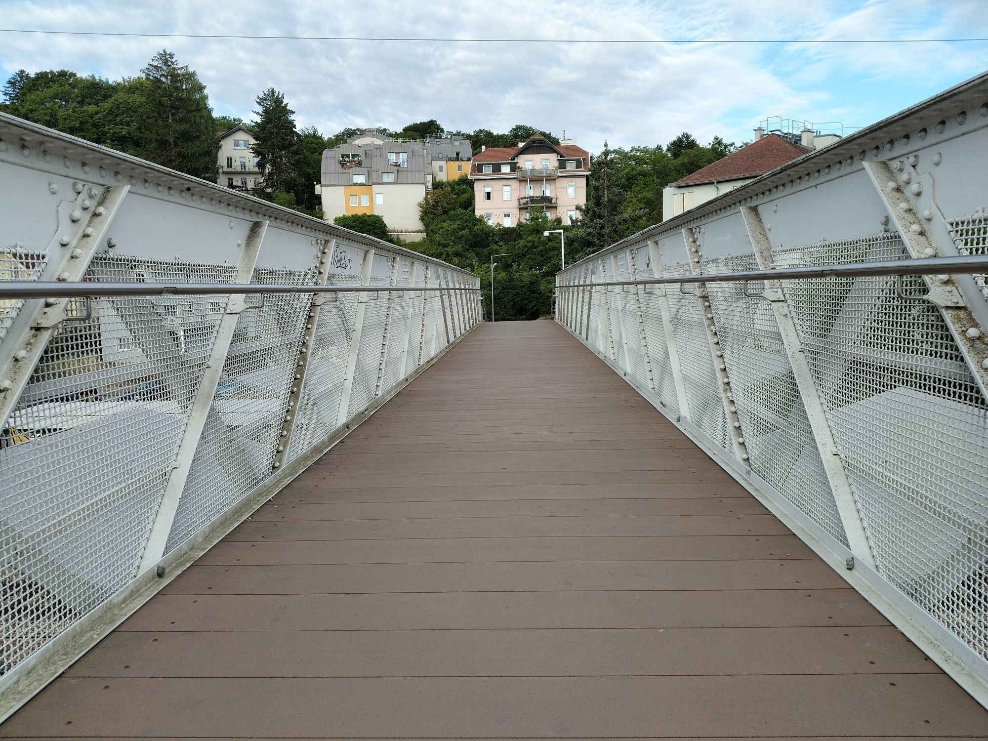
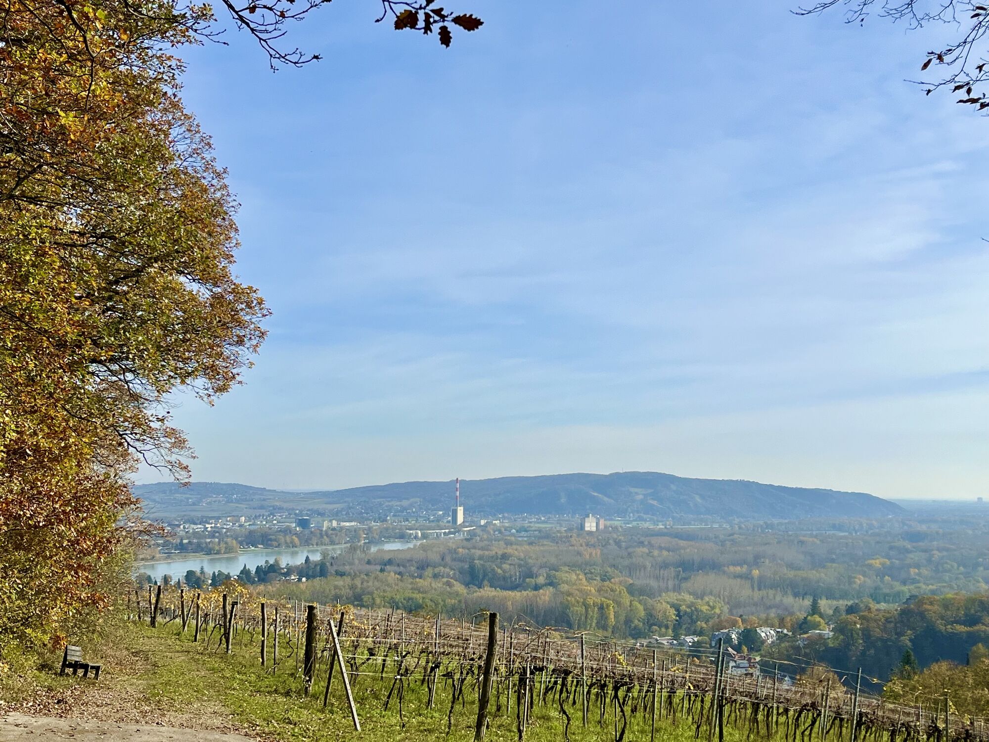
The Hundsberg route is a varied mountain bike tour in the Vienna Woods, covering an altitude difference of around 275 meters over 9.28 kilometers. The route offers both challenging climbs and rewarding...
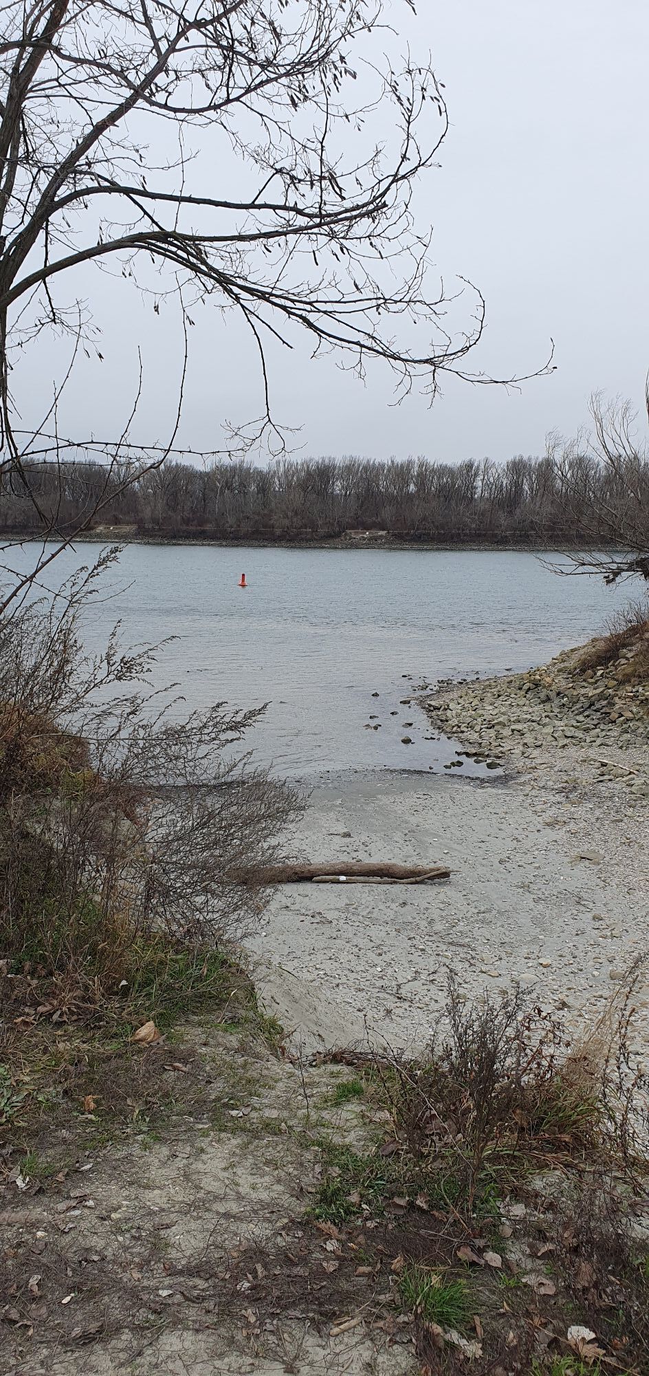
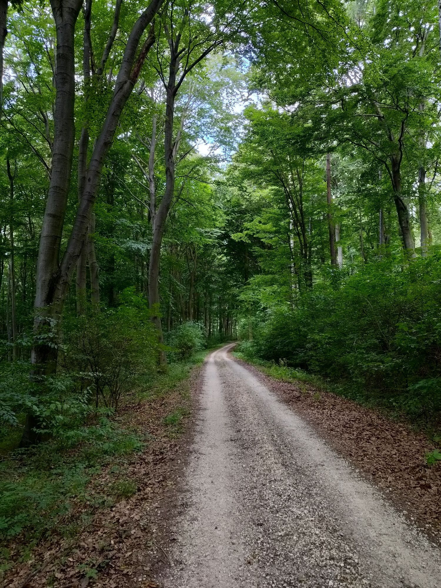
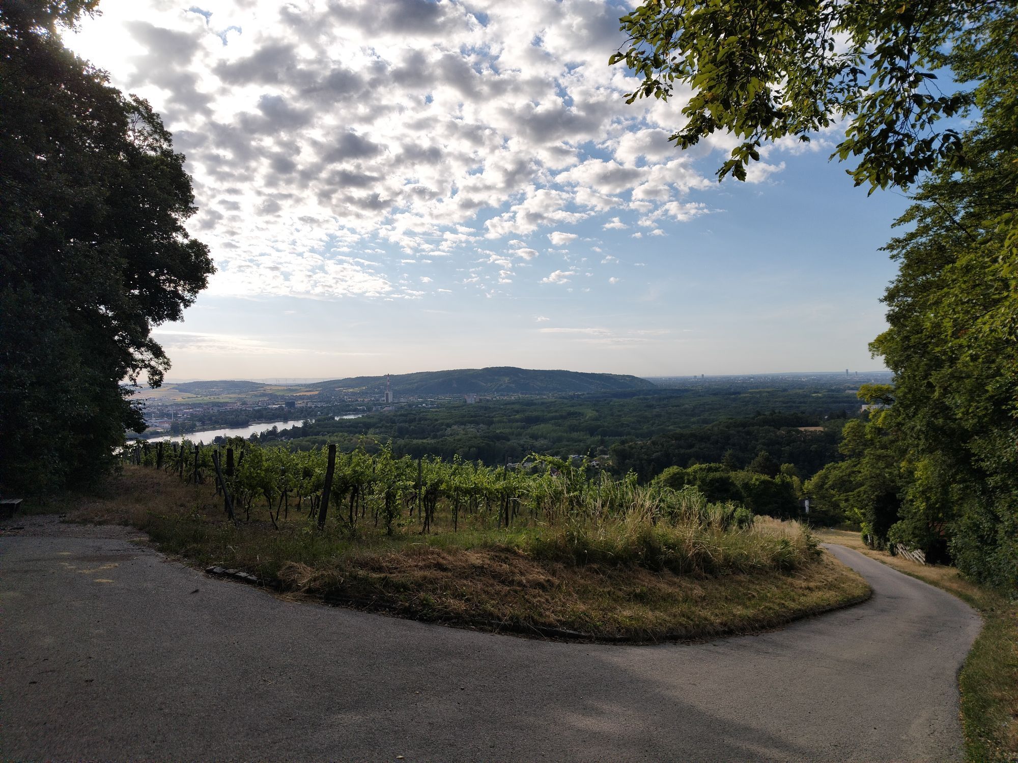
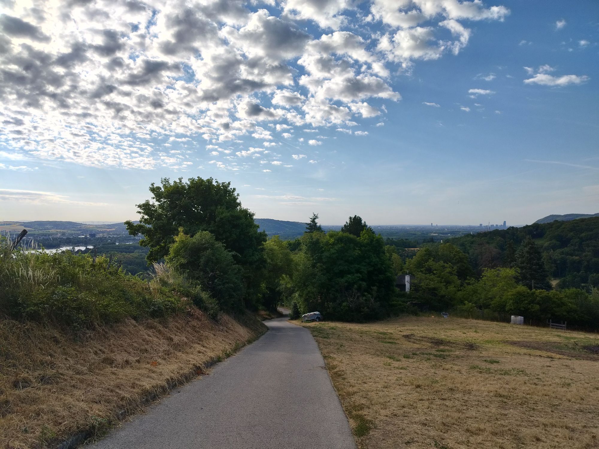
The Hundsberg route is a varied mountain bike tour in the Vienna Woods, covering an altitude difference of around 275 meters over 9.28 kilometers. The route offers both challenging climbs and rewarding descents and mostly runs along beautiful forest paths. Along the way, you will pass sights such as the bell tower in Hadersfeld and Greifenstein Castle. There are also several vantage points along the route with impressive views of the surrounding landscape.

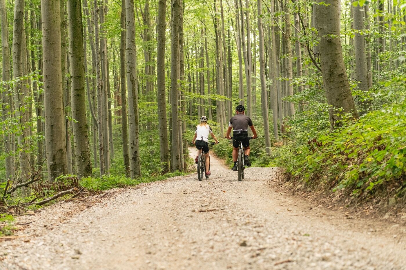

We ride up Neudauerstr. and then turn right onto Hoheneggersteig, passing Hundsberg until just before Hadersfeld. Here, we stay to the right on the forest road and head north. At the next intersection, take a sharp right to head steadily downhill through the forest toward Höflein. On the main street, turn left a few meters to go under the railroad tracks and reach the Danube cycle path. Follow this path to the right back to Kritzendorf and our starting point. If you’d like to visit a little historical gem, continue along the main street in Hadersfeld and ride steeply downhill to reach the famous Greifenstein Castle on the western slope of the Eichenleitenberg. From the village of Greifenstein, join the Danube cycle path, which connects with the regular Hundsberg route in Höflein. You can also simply continue along the Danube, which will take you directly back to the Kritzendorf train station.
Surface: Asphalt: 59%, gravel: 36%, forest/meadow: 5%
A safe and roadworthy mountain bike is a prerequisite for all routes. A helmet and gloves provide protection in the event of a fall, and knee and elbow pads can be added when riding on single or shared trails. A modern mountain bike with disc brakes and sufficient tire tread is recommended. For single and shared trails rated red difficulty or higher, a full-suspension bike with modern geometry is recommended. Tools, a tire lever, a pump, and a spare tube will help in case of a flat tire. You should also carry enough food and drink, as well as a cell phone and a windbreaker or rain jacket.
Before every ride, check that the brakes, tires, and suspension fork/shock are in good working order. Always ride with an eye out for hazards and at a controlled speed, and choose a route that suits the group’s riding ability and the terrain. The Fair Play rules must be observed at all times. Single/shared trails, as well as built trails in trail parks and trail centers, often feature rocks, roots, steep sections, steps, and sharp turns that require a certain level of riding skill. If in doubt, simply dismount and walk your bike.
Coming from Vienna, take the B14 to Klosterneuburg, then continue on Martinstraße to Kritzendorf.
Coming from the west, take the A1 and B1 to Stampfergasse, then continue via Hüttelbergstraße, Amundsenstraße, Höhenstraße, Sieveringer Straße, and Hauptstraße to Klosterneuburg, then take the B14 and Martinstraße to Kritzendorf.
Coming from the south, take the A2, continue on the A23 to the A22 exit, then follow signs for the B7; take the A22 to the Nordbrücke exit, then take the B14 to Klosterneuburg, and continue on Martinstraße to Kritzendorf.
Travel Advice: Please check the route to the meeting point in advance and allow plenty of time. Be aware of possible traffic delays, road construction, or public transportation disruptions.
Take the train to Kritzendorf Station.
There is a parking lot at the train station.
Parking Note: Please follow local parking regulations and check for any parking fees or time restrictions. We recommend checking the parking situation in advance to ensure a stress-free arrival.
The elevation data for this route was calculated based on A-MAP. Due to differences in the map data used by various routing and navigation apps and devices, slight variations in the figures are inevitable. You can find more information on this in the following blog post!
Wienerwald Tourismus GmbH
Hauptplatz 11, 3002 Purkersdorf
Tel. +43/2231/621 76
Email: office@wienerwald.info
Website: www.wienerwald.info
Places to eat:
Gasthaus am SilberseeZum Goldenen Anker InnXLarge Cyclists' MeetupUbl Schober Veronika Wine Tavern
 Pridobite vpogled
Vedno v živo na mestu z več kot 9.500 spletnimi kamerami. bergfex Kot uporabnik Pro si lahko zdaj ogledate ustrezne spletne kamere za številne izlete v aplikaciji izleti iz. Tako si lahko neposredno ogledate trenutne razmere.
Pridobite vpogled
Vedno v živo na mestu z več kot 9.500 spletnimi kamerami. bergfex Kot uporabnik Pro si lahko zdaj ogledate ustrezne spletne kamere za številne izlete v aplikaciji izleti iz. Tako si lahko neposredno ogledate trenutne razmere.

Priljubljeni izleti v okolici
-
4.9
Stadtwanderweg #2, Hermannskogel, Top of Vienna 😆
svetlobaPohodništvo 11.1 km -
4.9
Stadtwanderweg 1
svetlobaPohodništvo 11.1 km -
4.8
Stadtwanderweg 1a - Leopoldsberg / lt. Beschilderung
srednjaPohodništvo 10.2 km -
4.7
Königstetten-Figlwarte-Hainbuch-Königstetten
srednjaPohodništvo 9.30 km -
4.6
Nasenweg Leopoldsberg Rundweg
srednjaPohodništvo 4.08 km -
4.6
Stadtwanderweg 4
svetlobaPohodništvo 8.48 km -
4.5
Stadtwanderweg 3, Hameau (lt. Beschilderung)
svetlobaPohodništvo 9.78 km -
4.5
Stadtwanderweg 5 Bisamberg (lt. Beschilderung)
svetlobaPohodništvo 10.5 km -
4.6
Vienna's highest peaks: Leopoldsberg, Kahlenberg and Hermannskogel
svetlobaPohodništvo 13.6 km -
4.5
Wien: Bisamberg - Elisabethhöhe
Pohodništvo 7.69 km
Pohodništvo in sledenje


Ne zamudite ponudb in navdiha za naslednje počitnice
Vaš e-poštni naslov je bil dodan na poštni seznam.





