







Badner Lindkogel-Runde

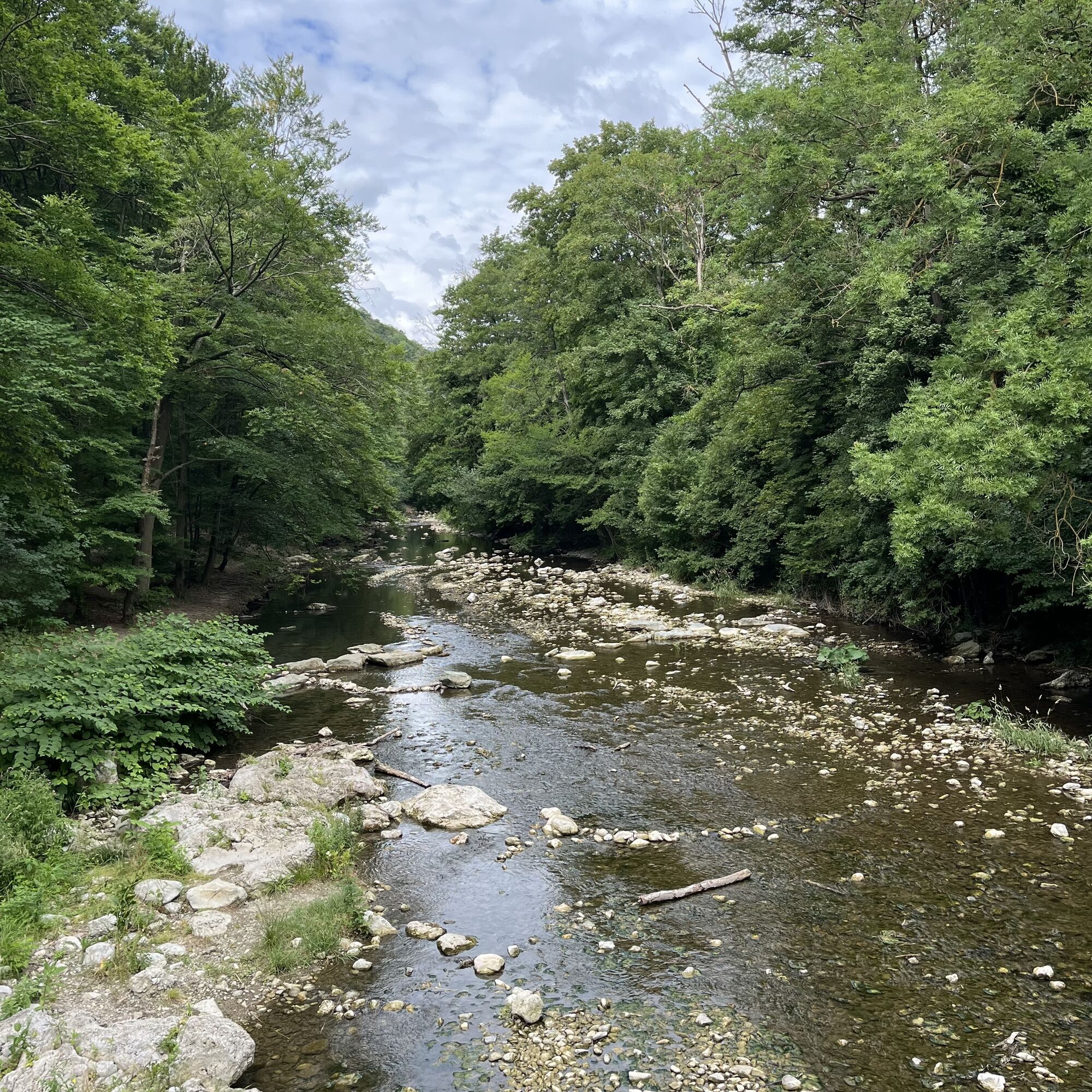
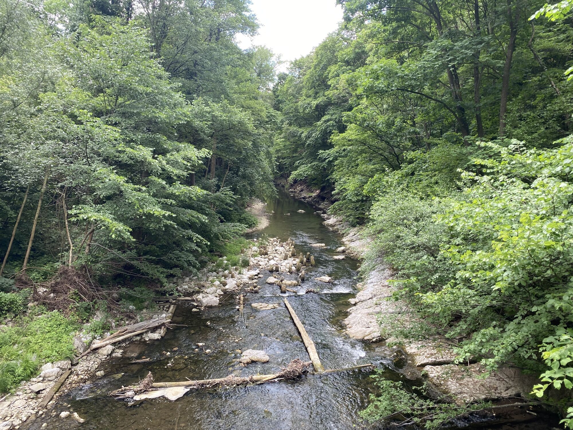
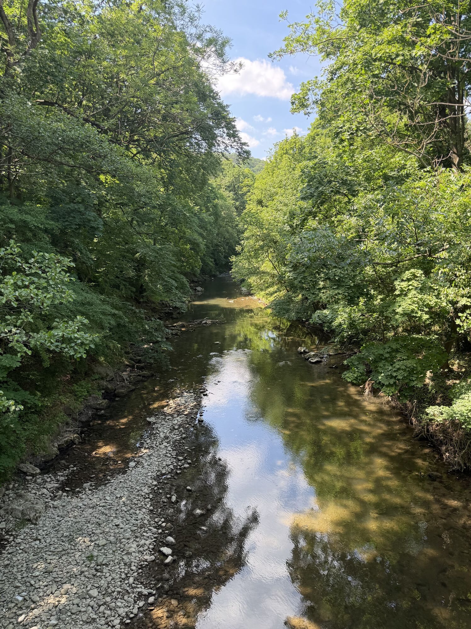
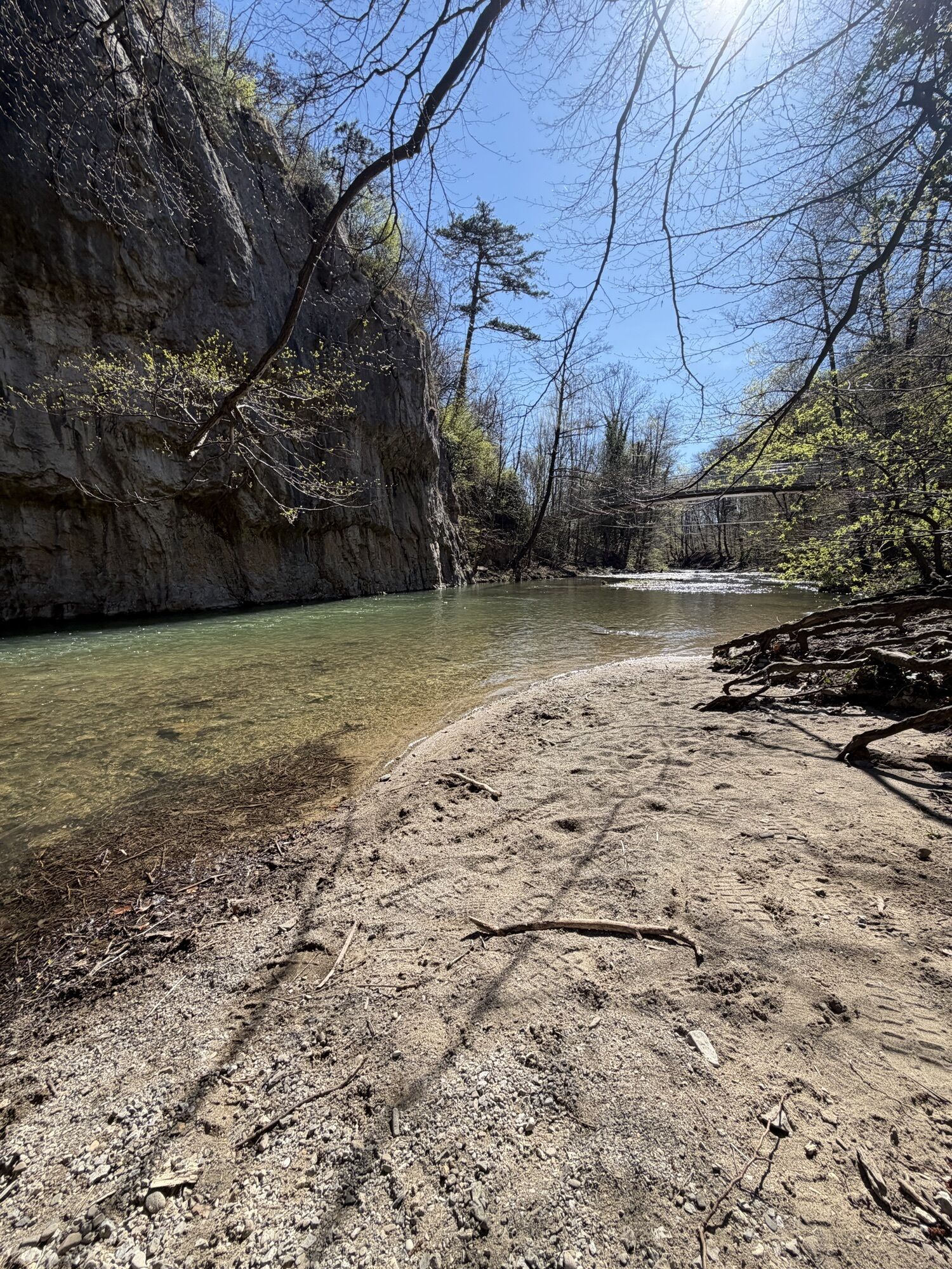
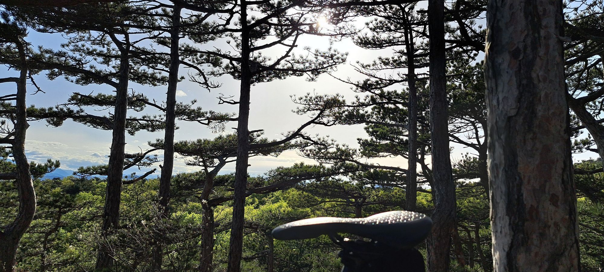
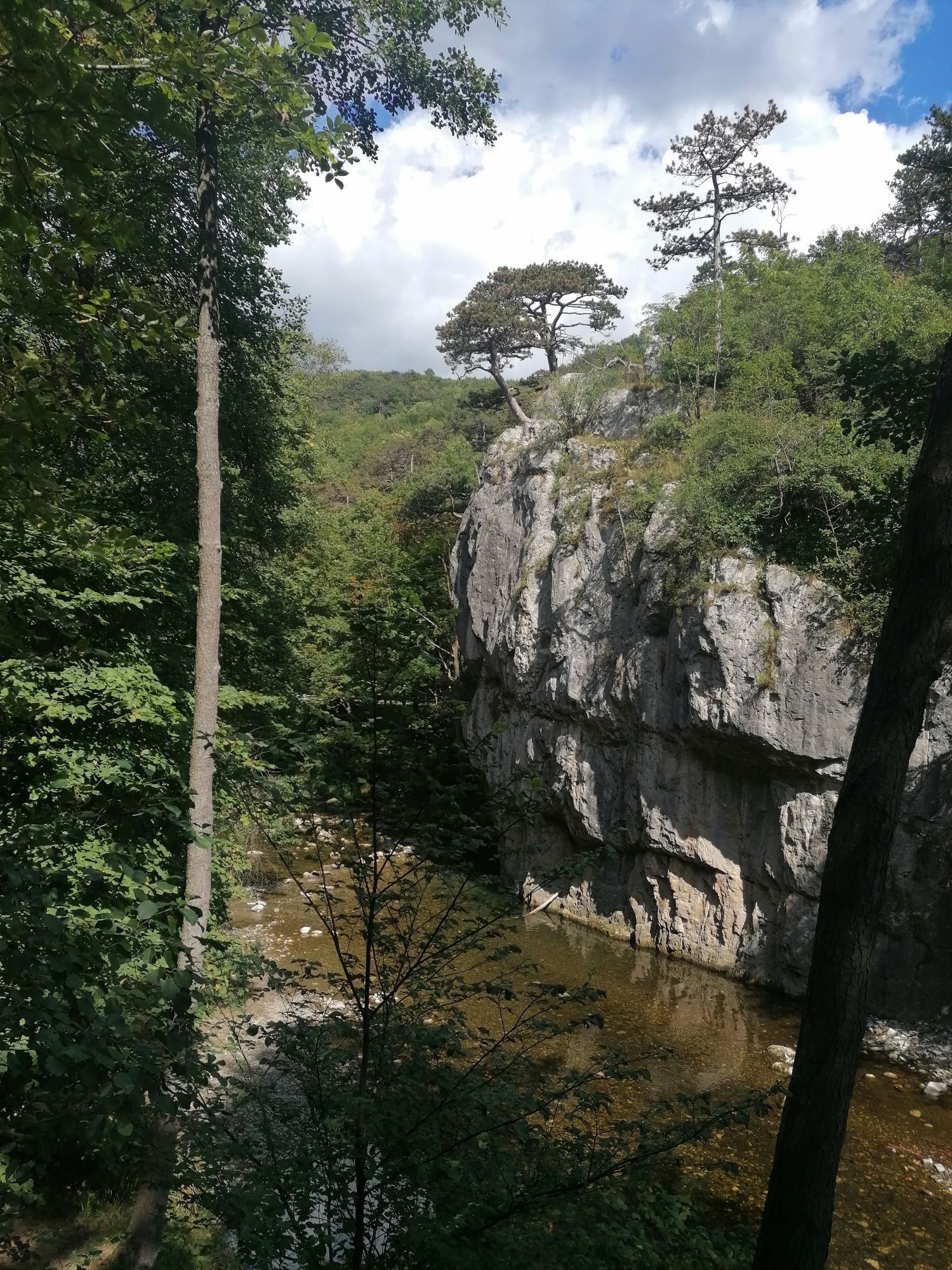
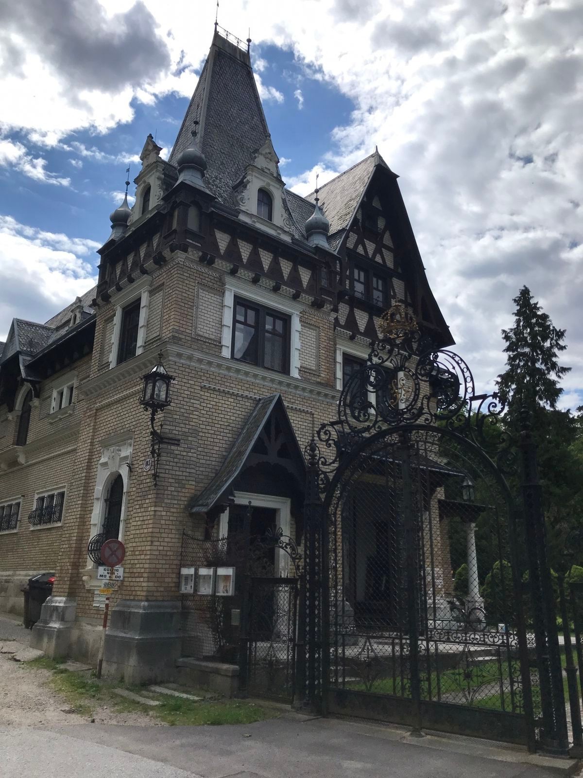
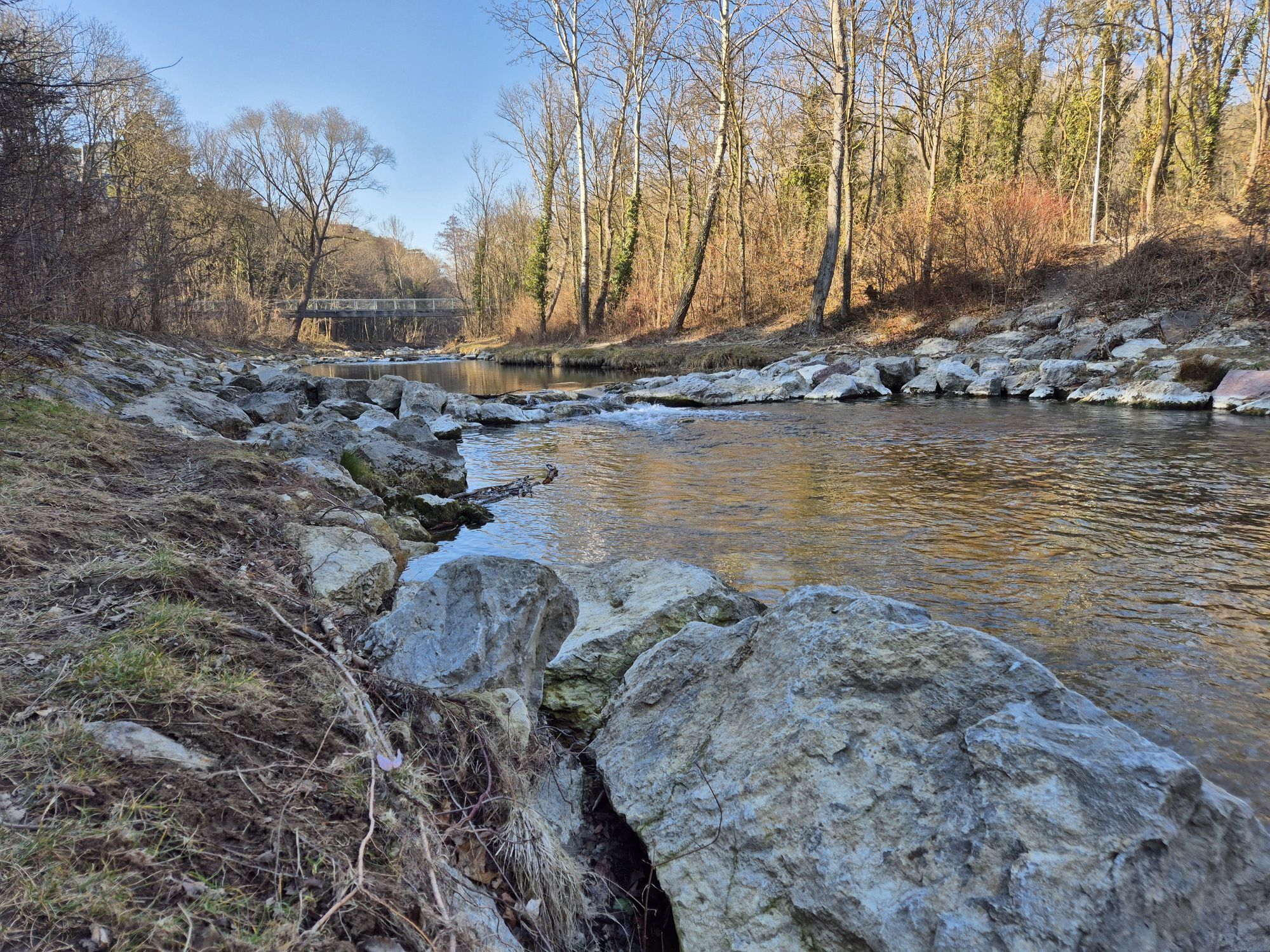
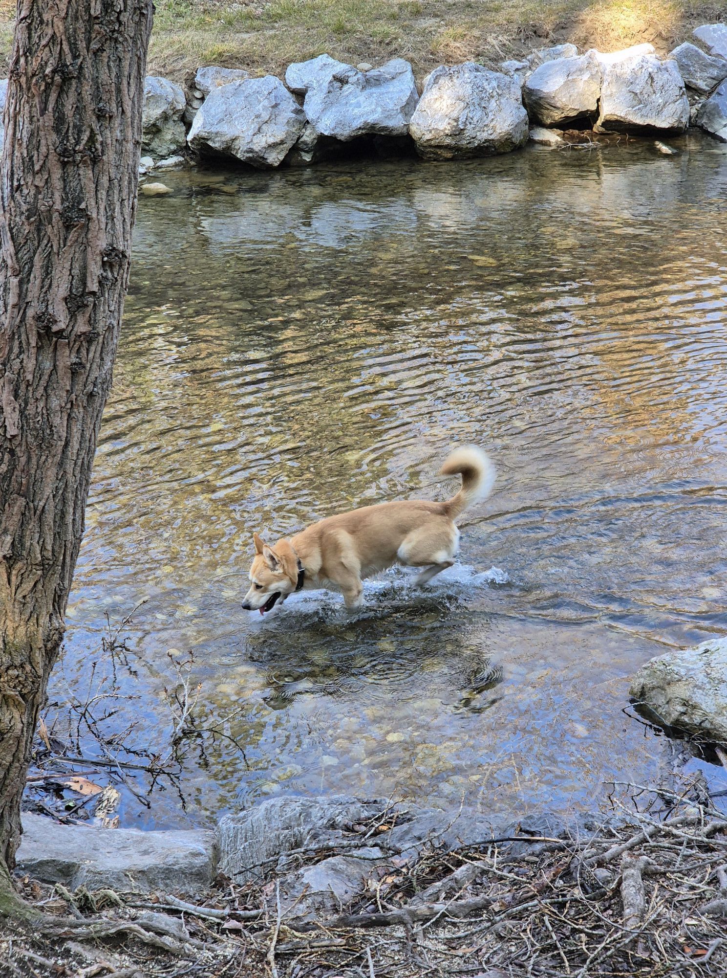
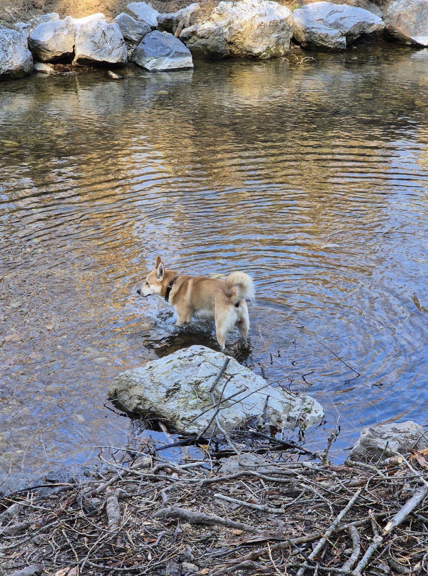
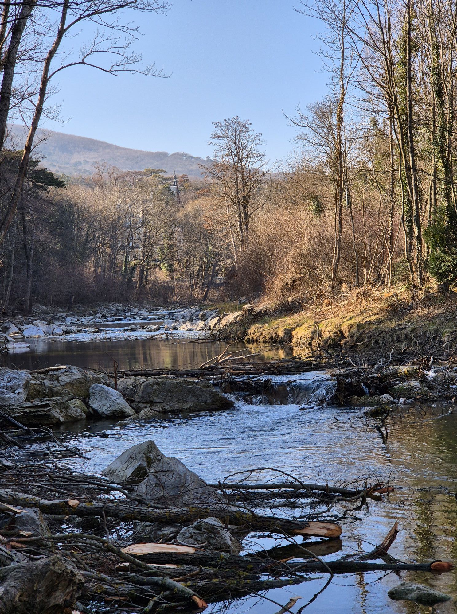
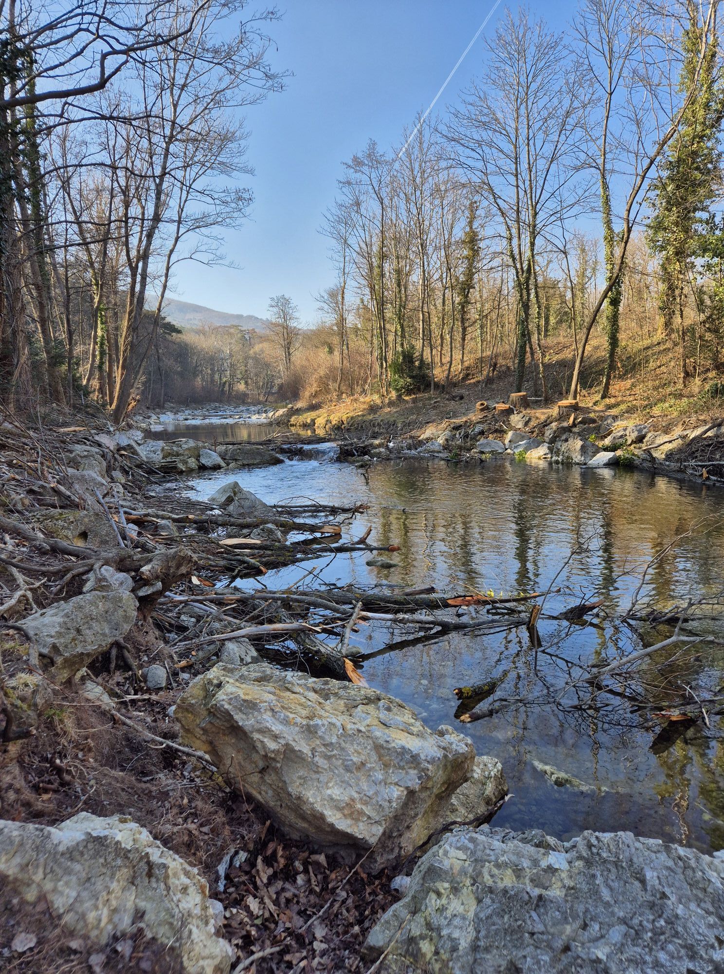
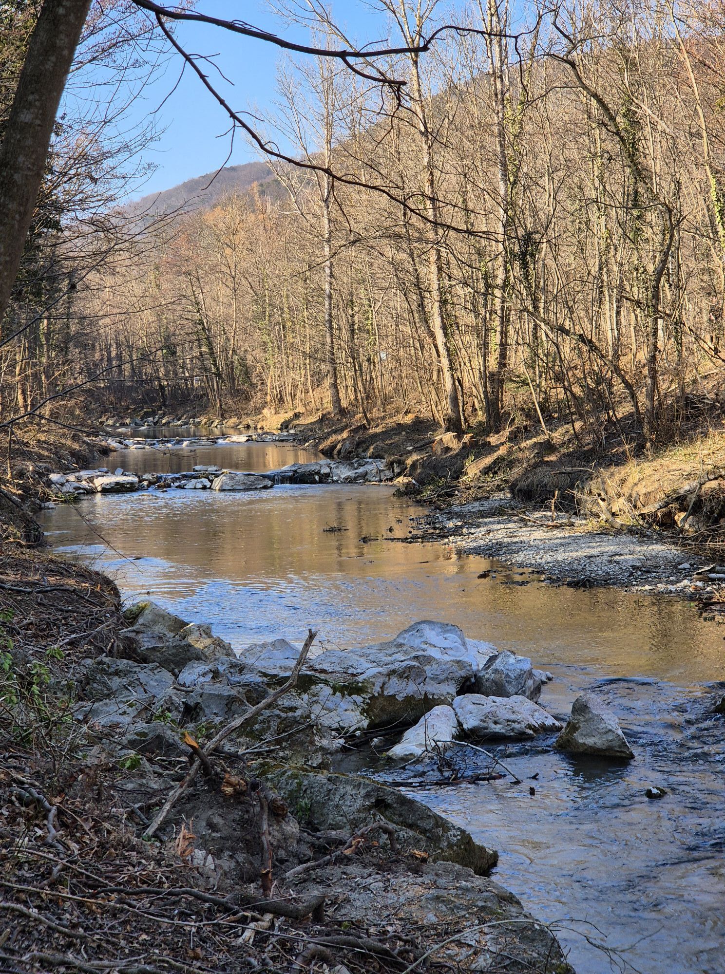
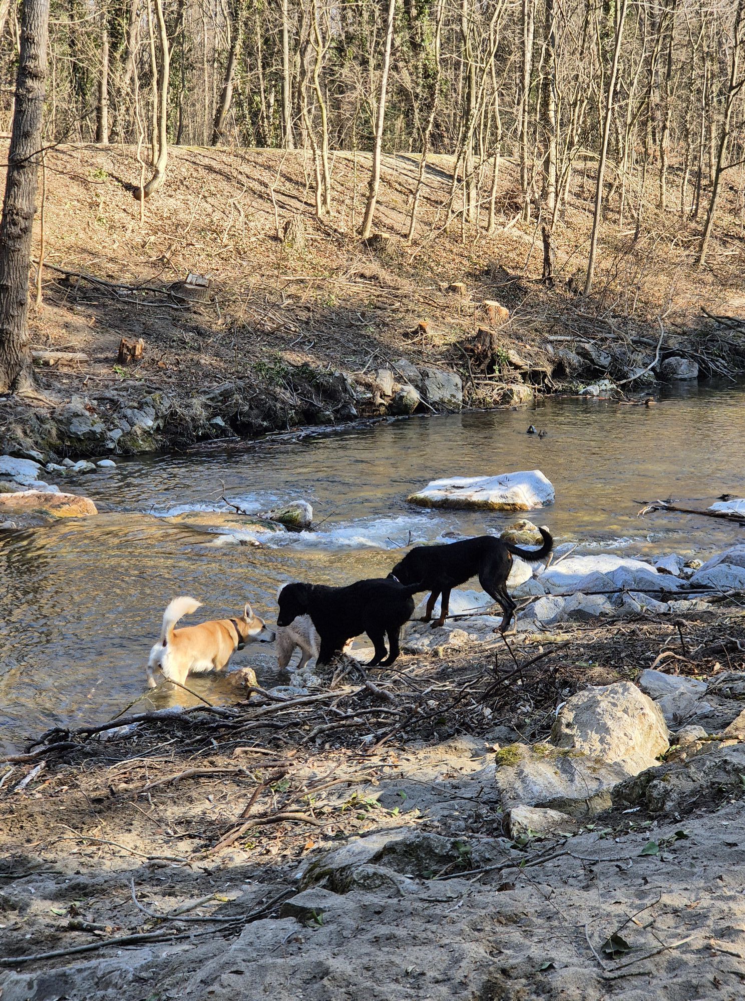
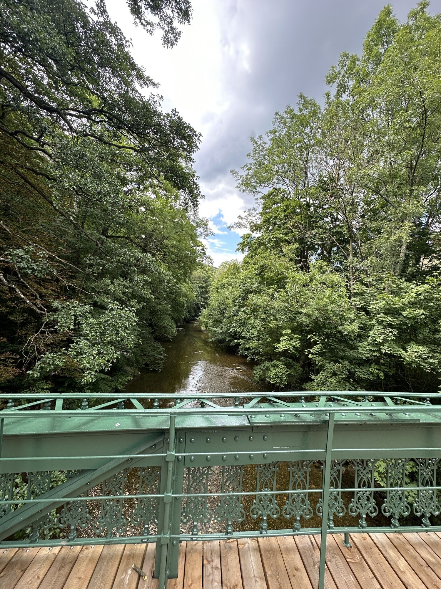
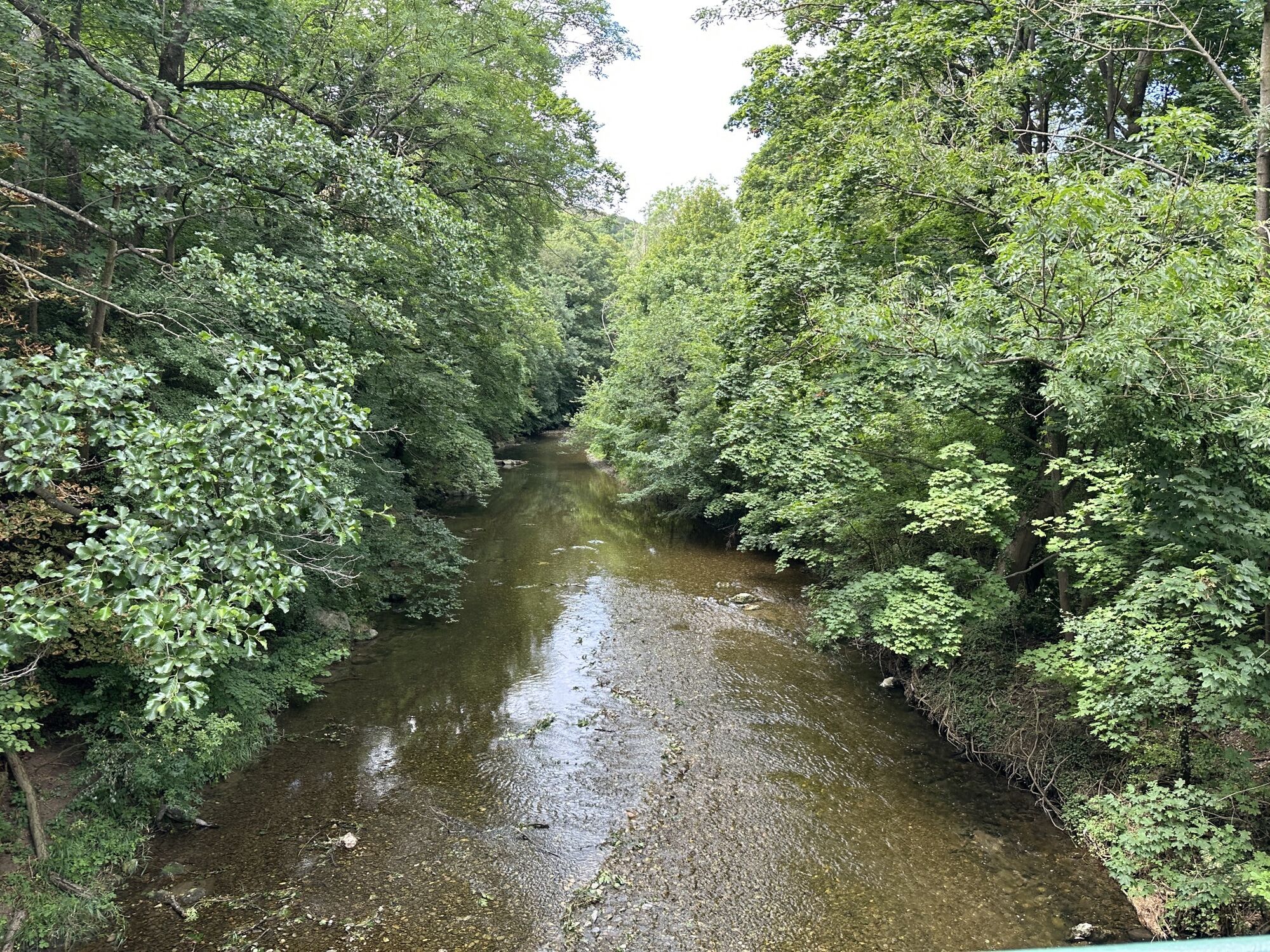
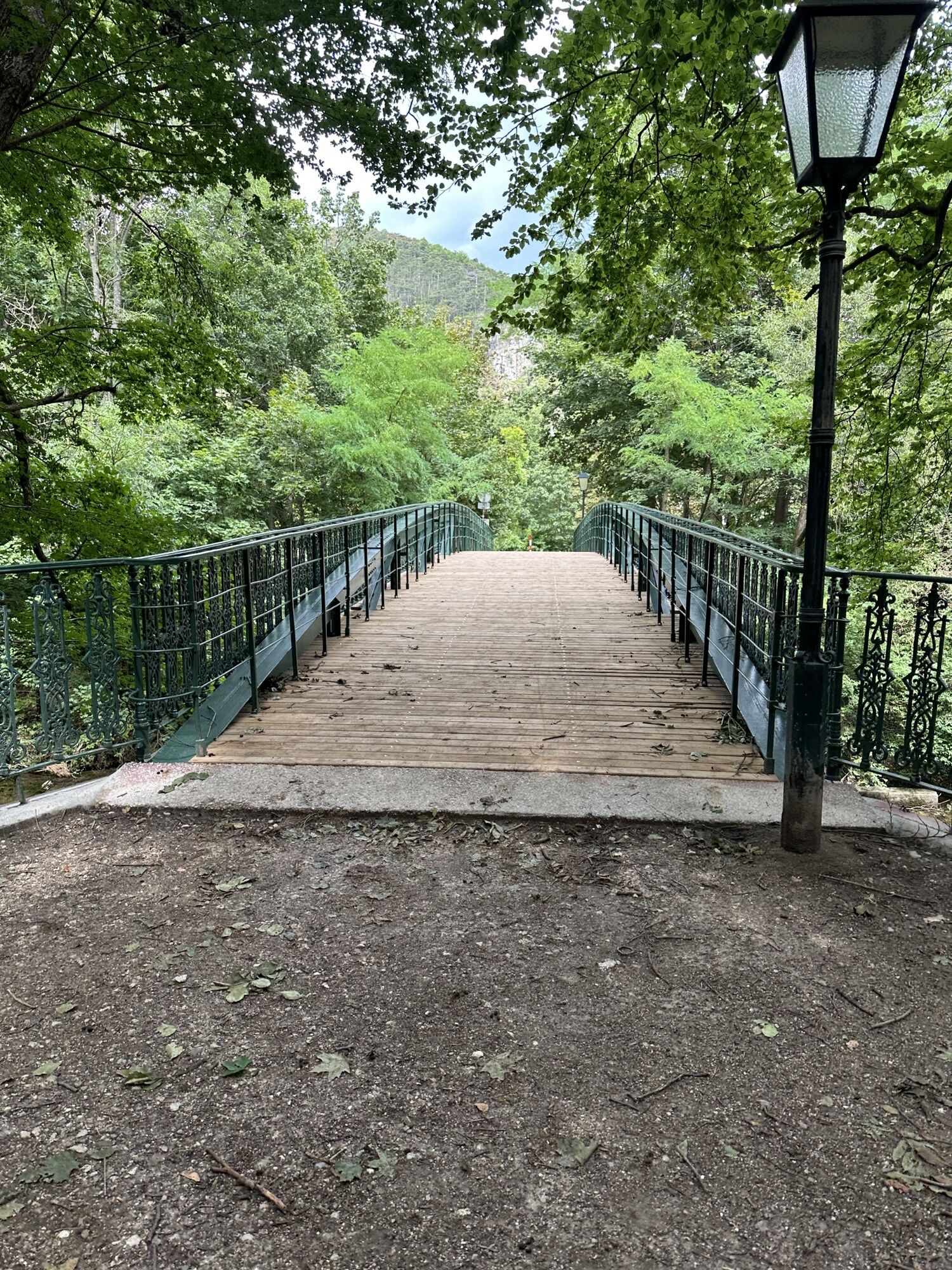
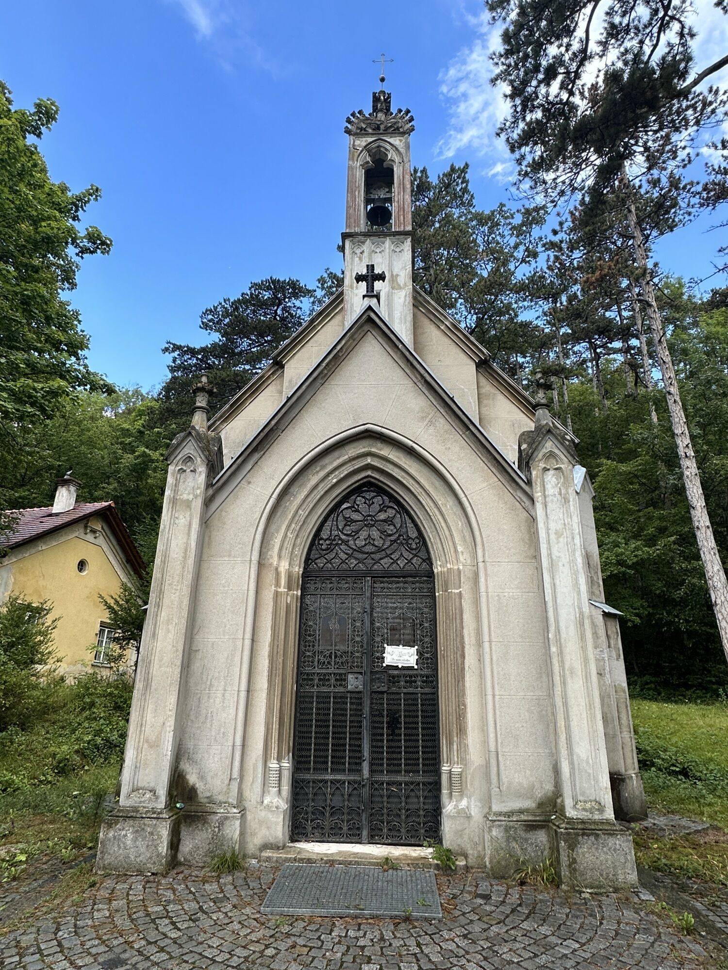
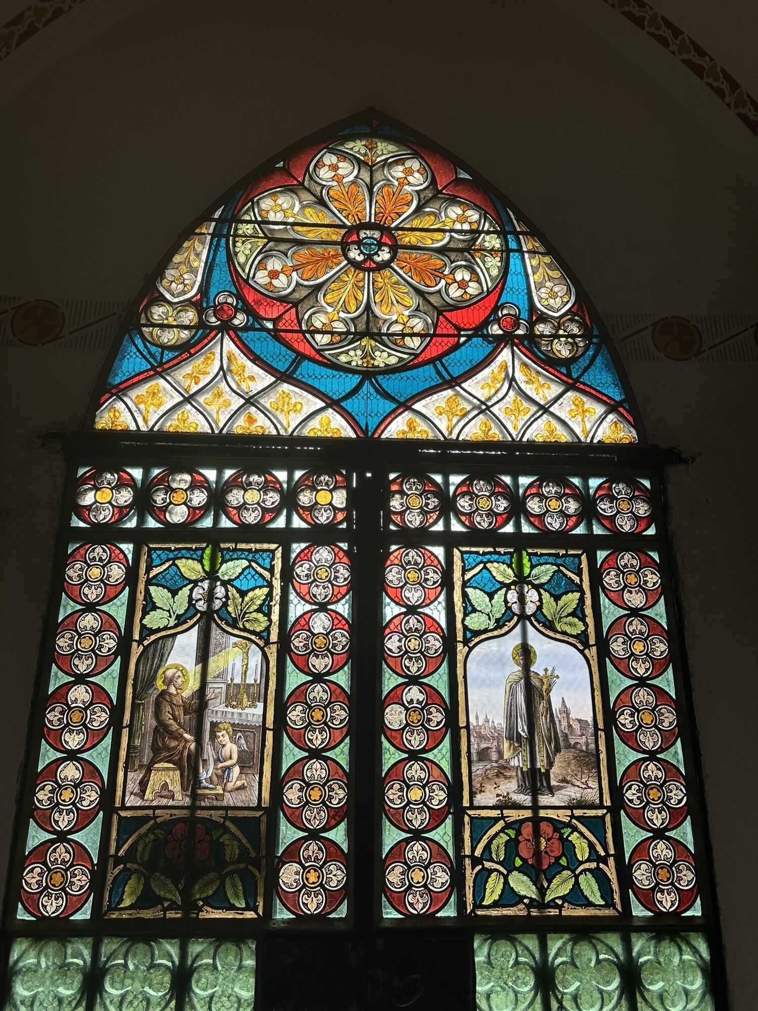
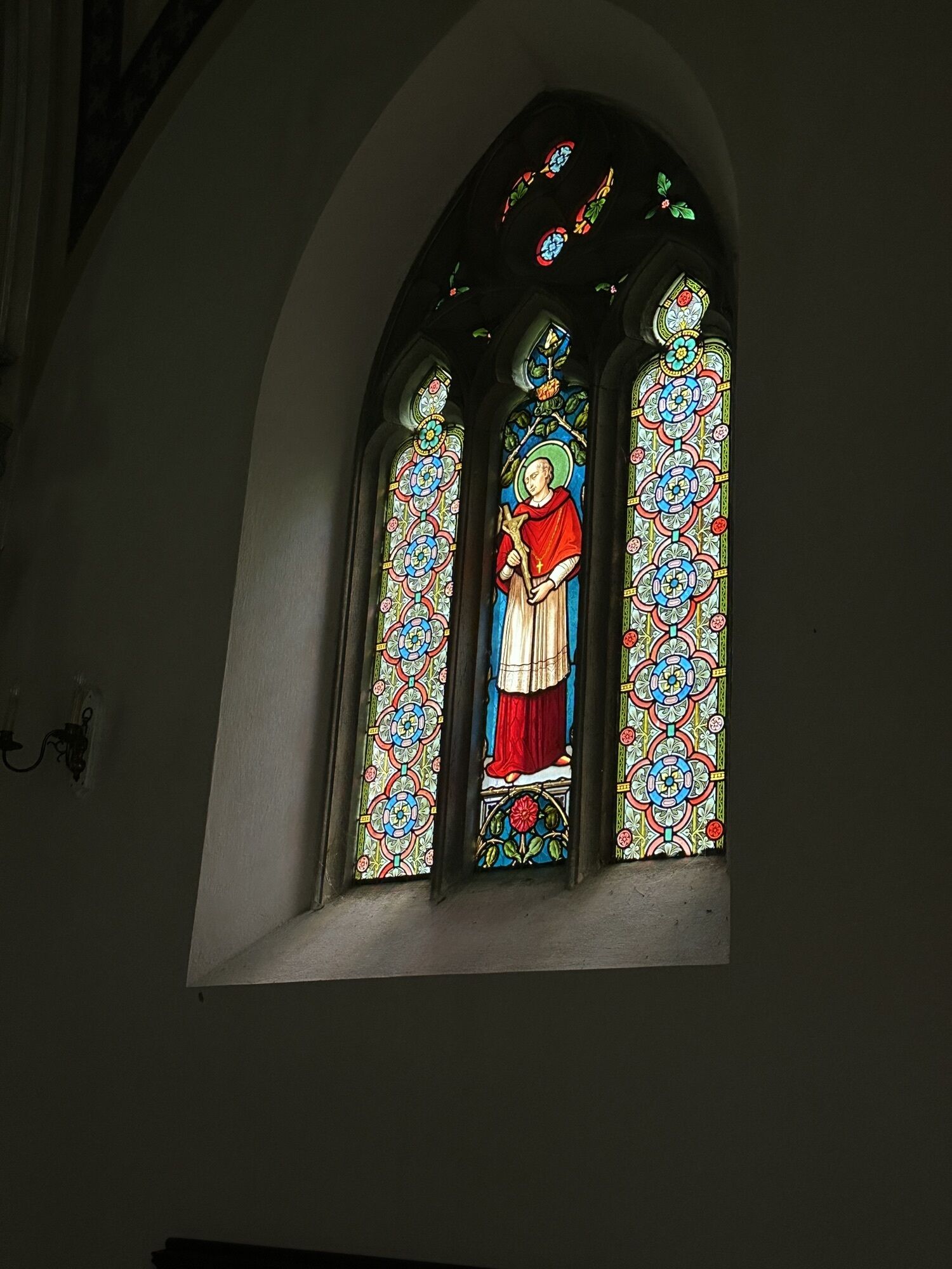
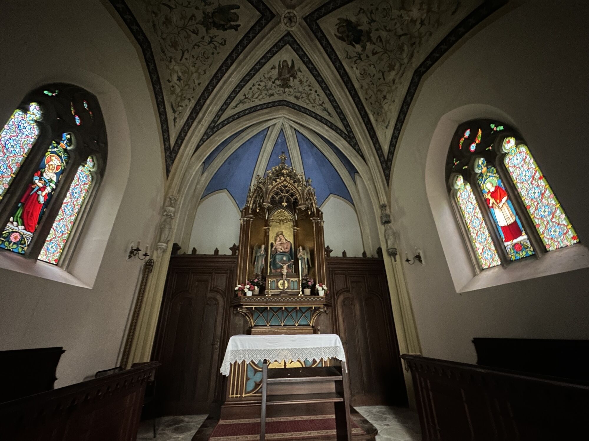
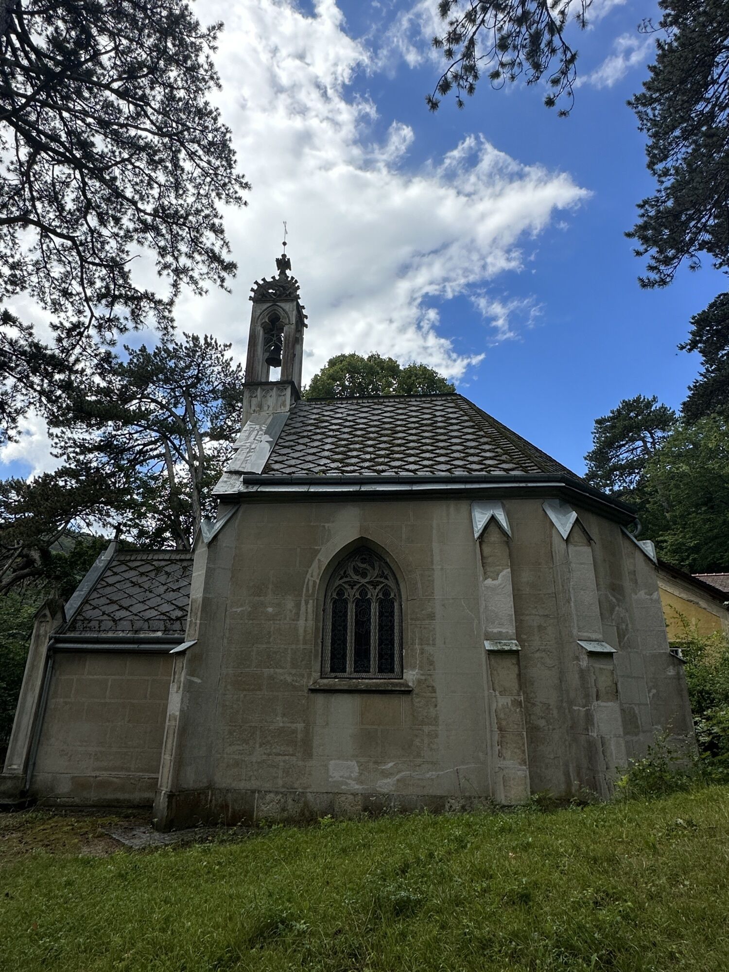
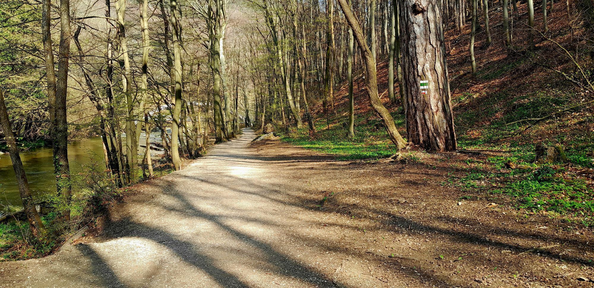
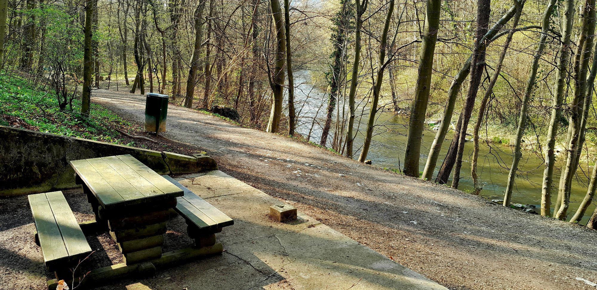
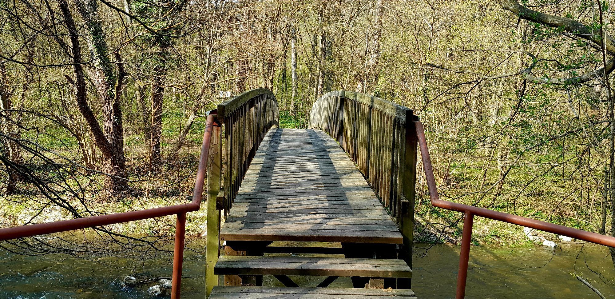
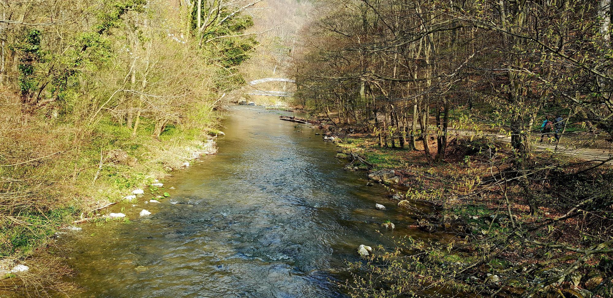
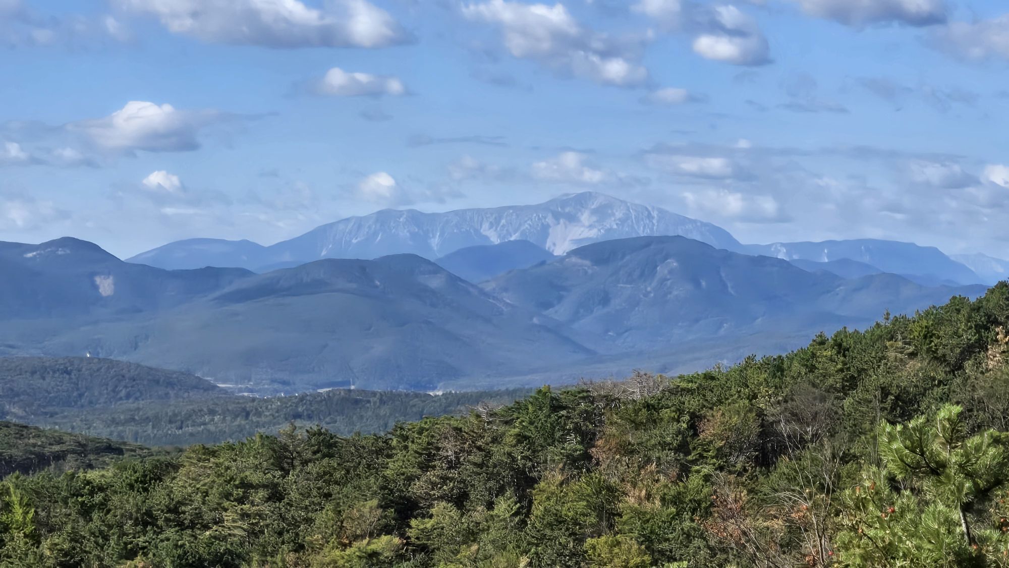
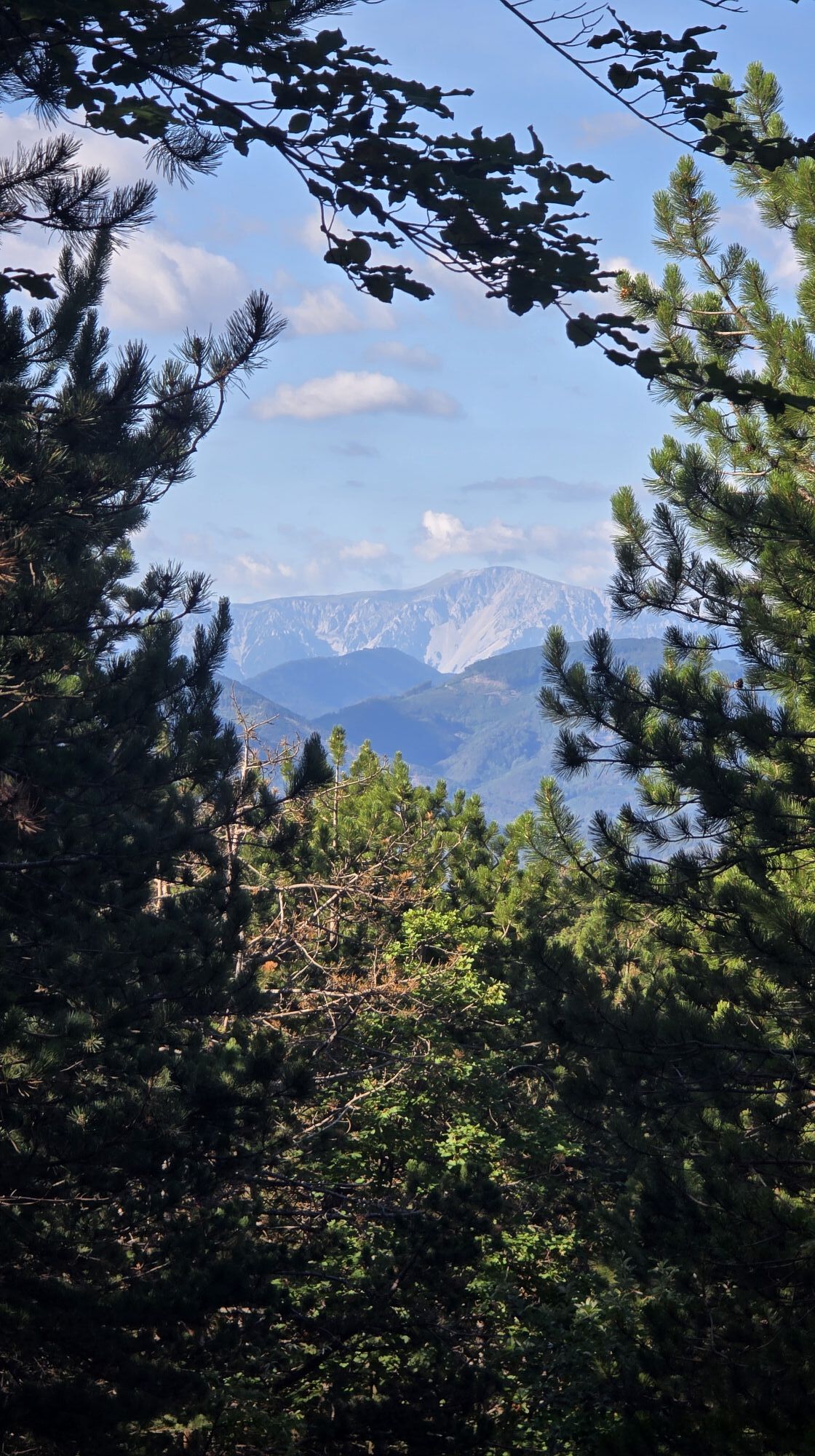
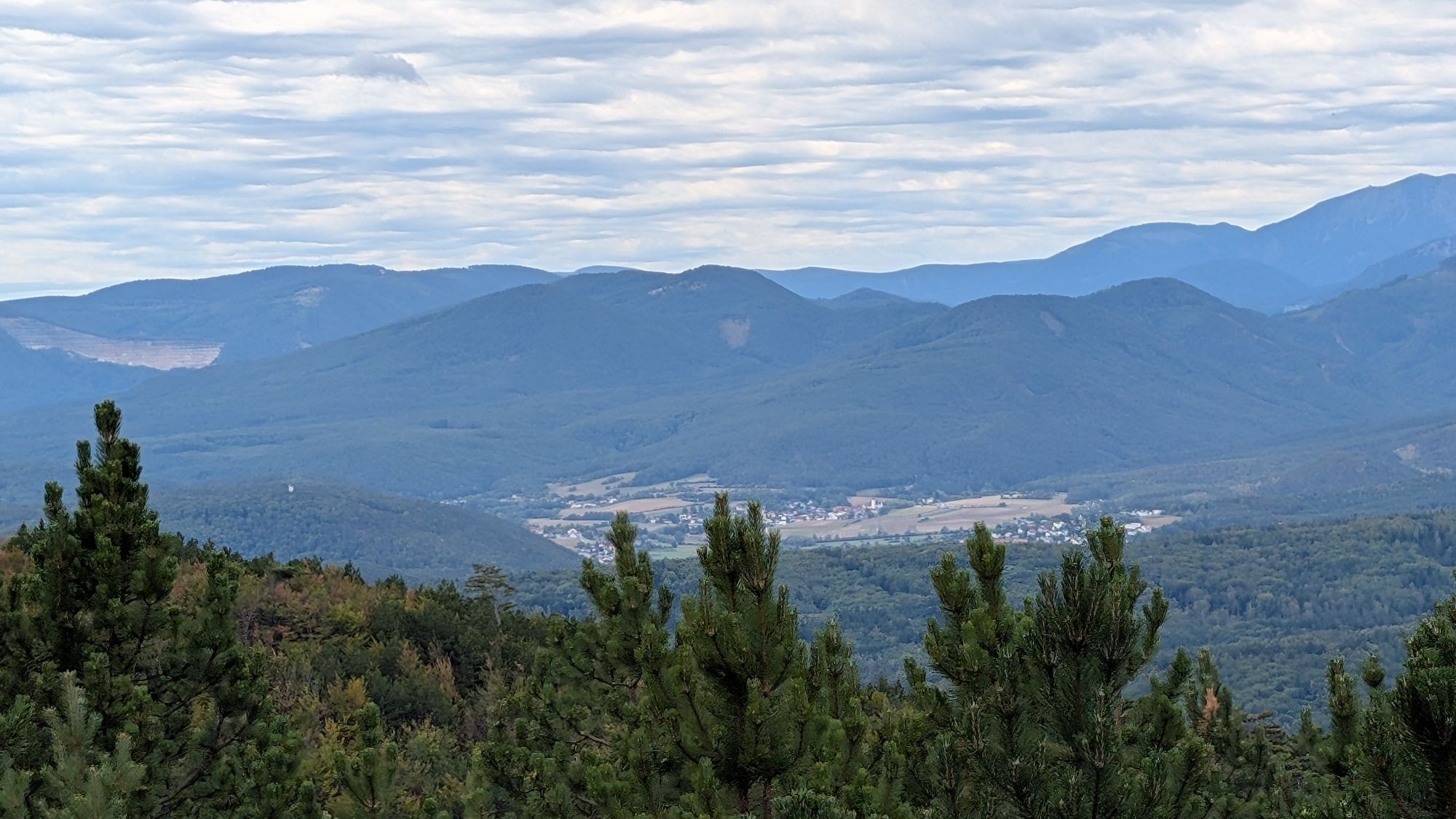
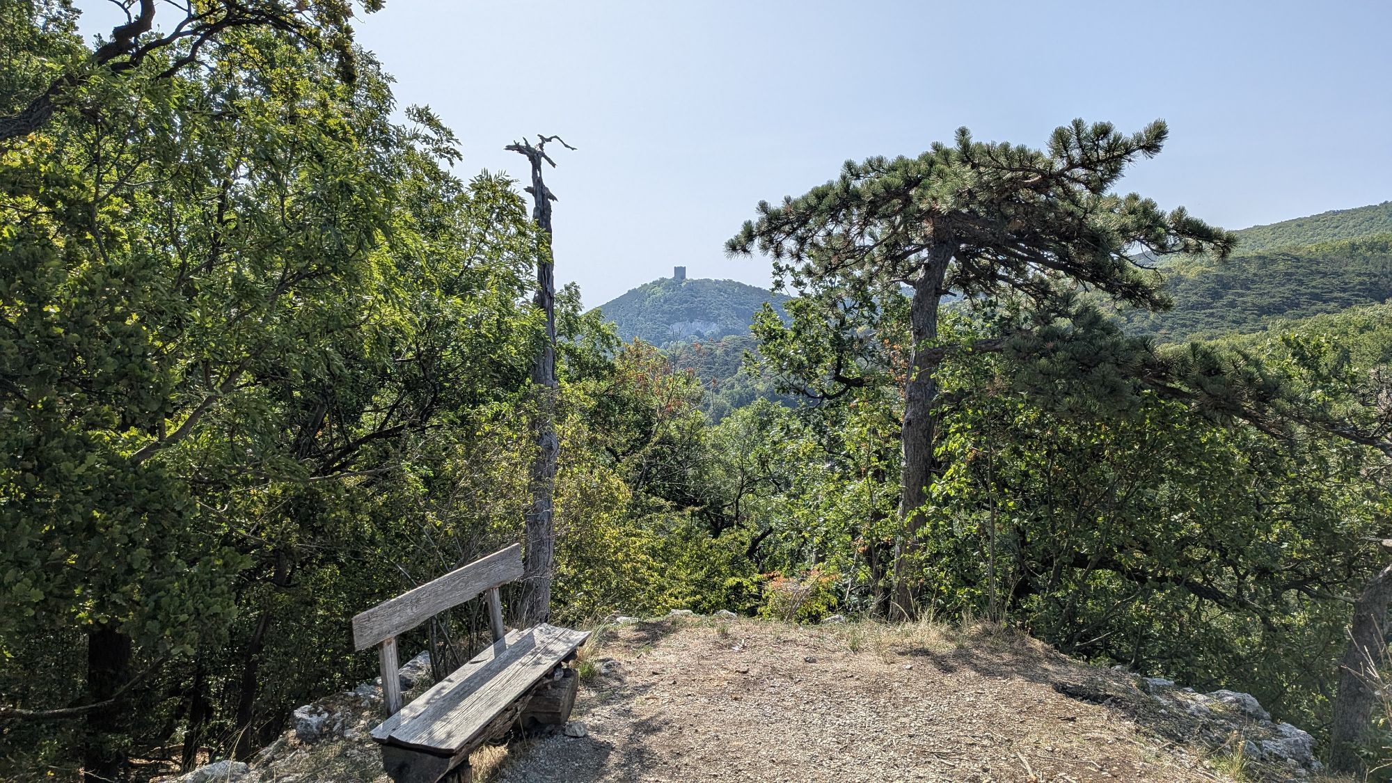
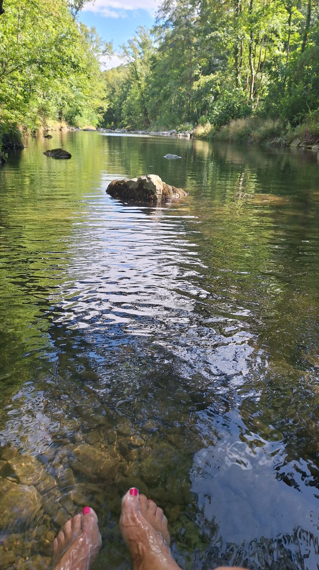
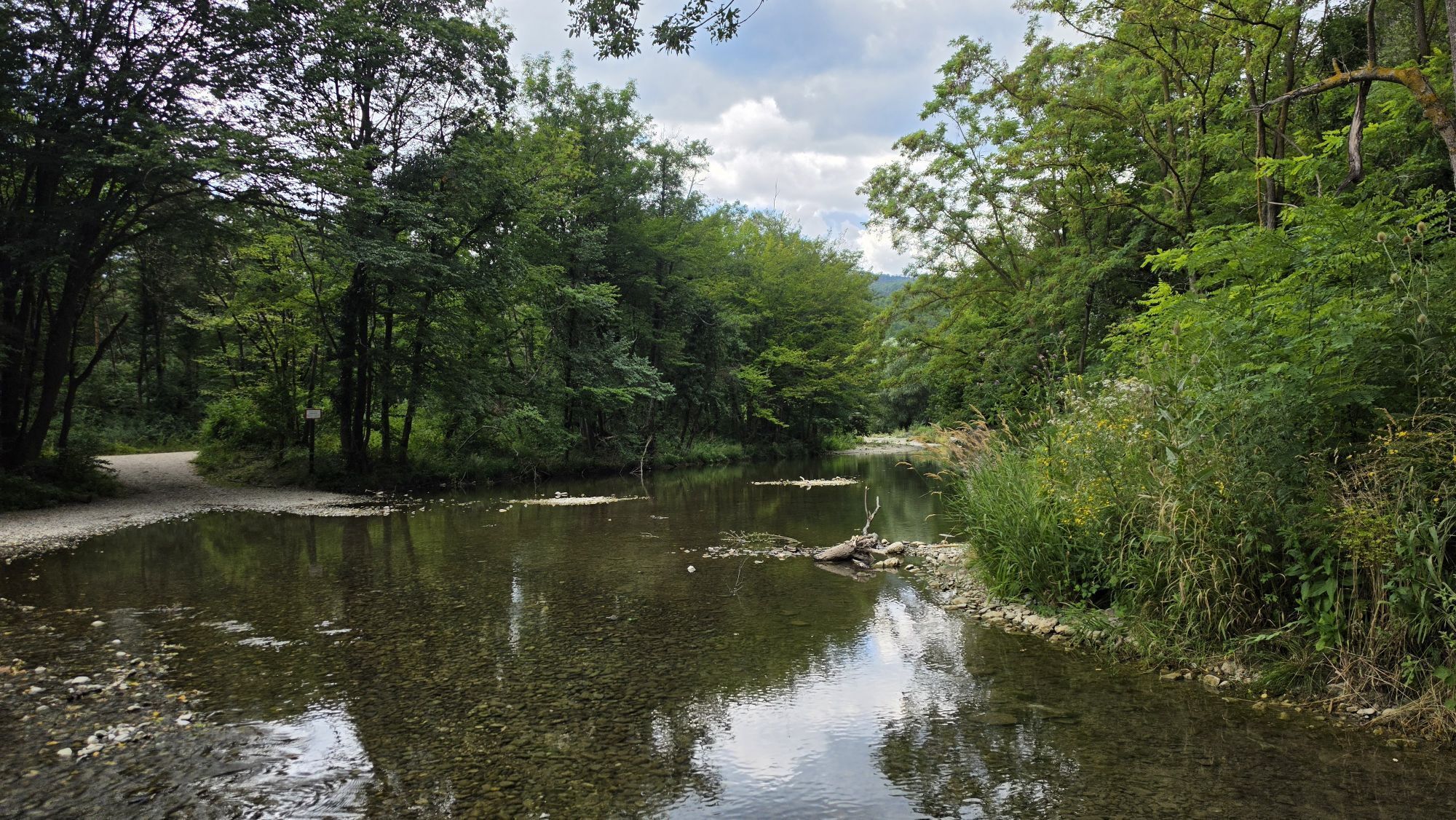
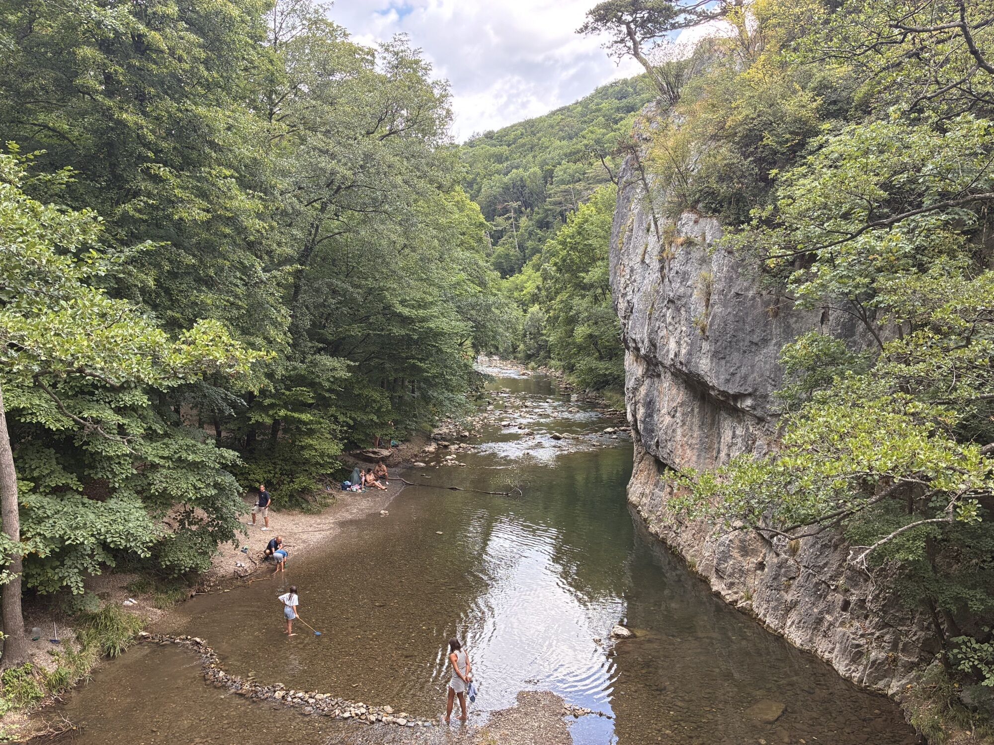
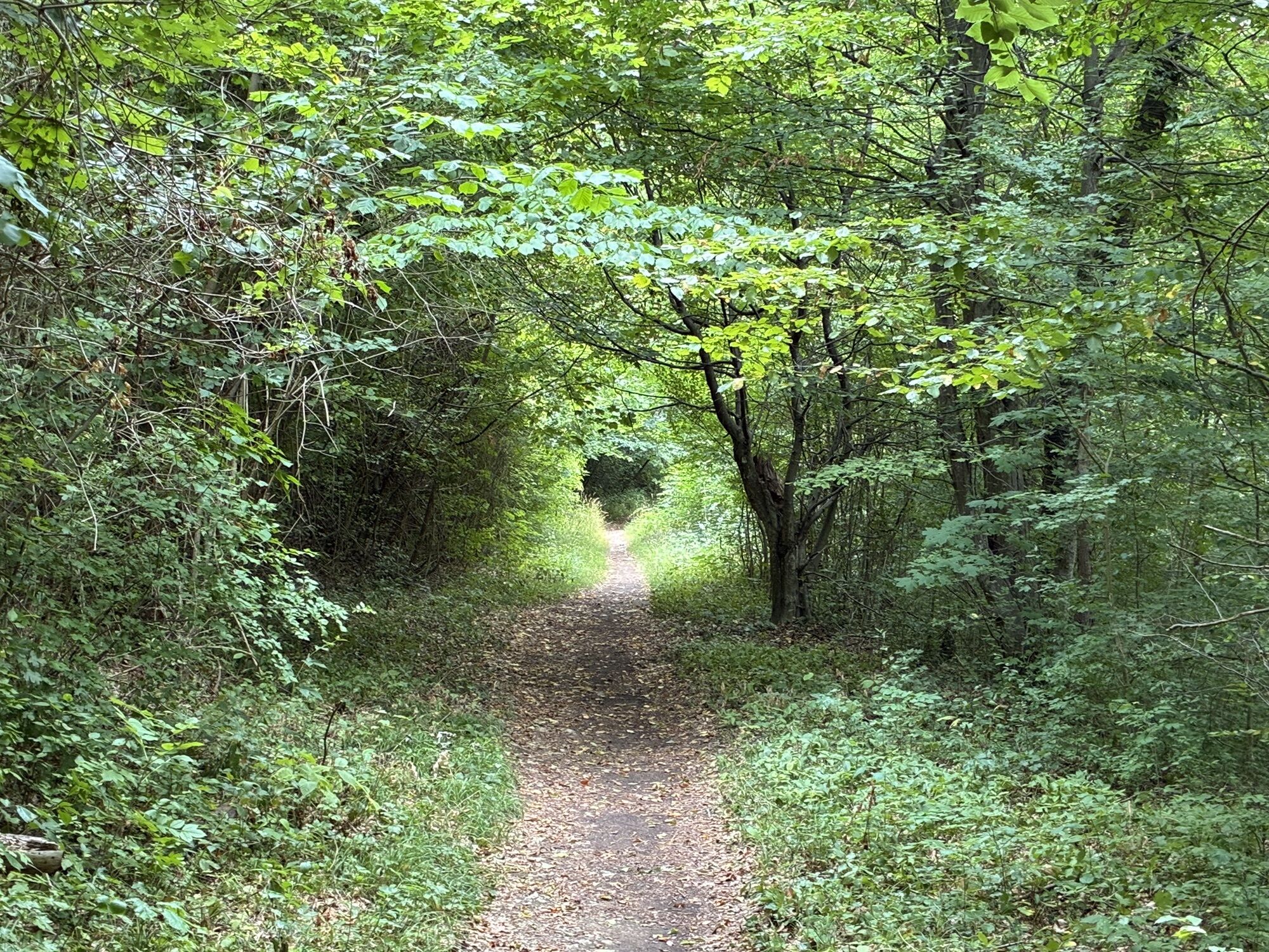
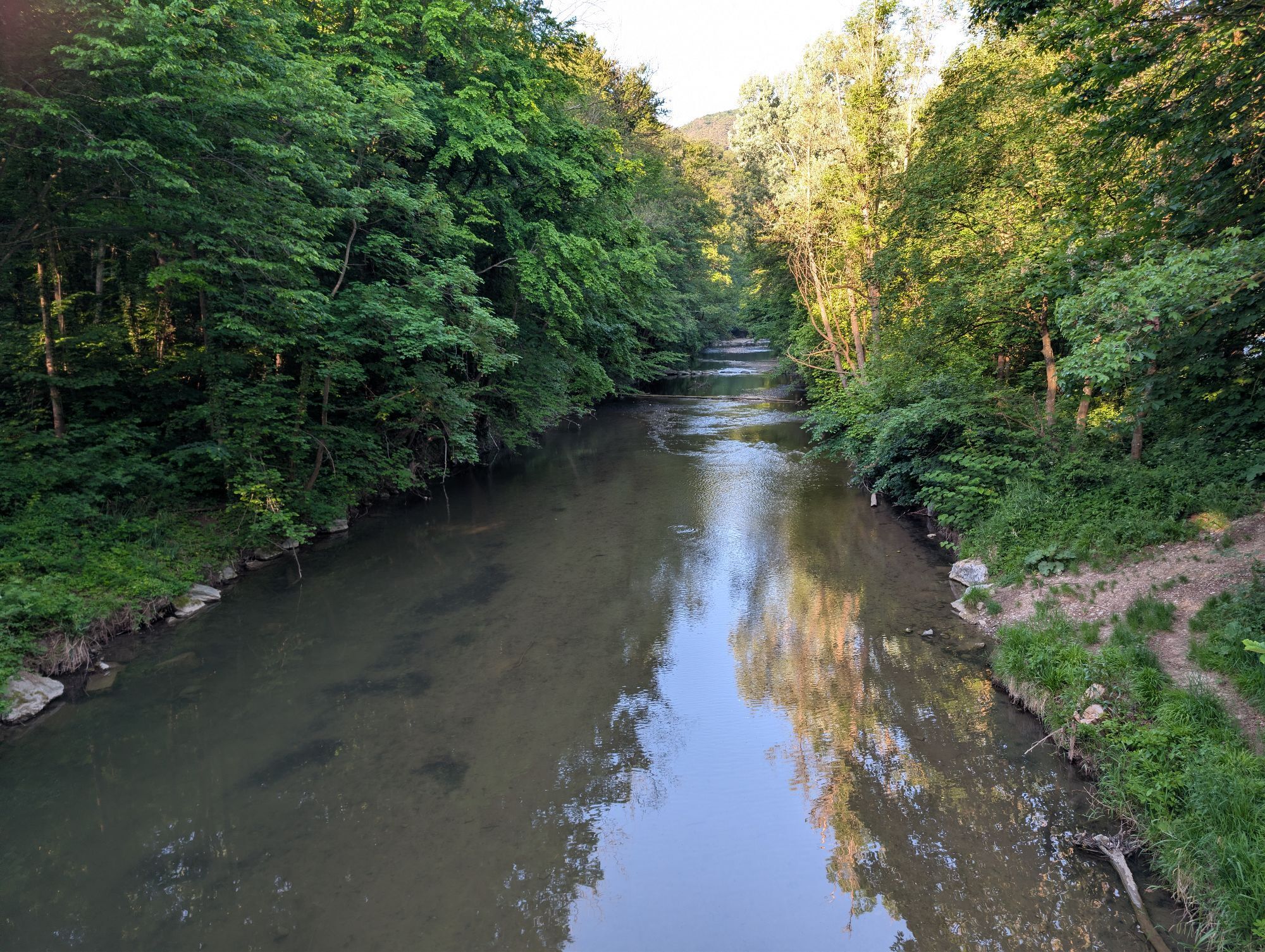
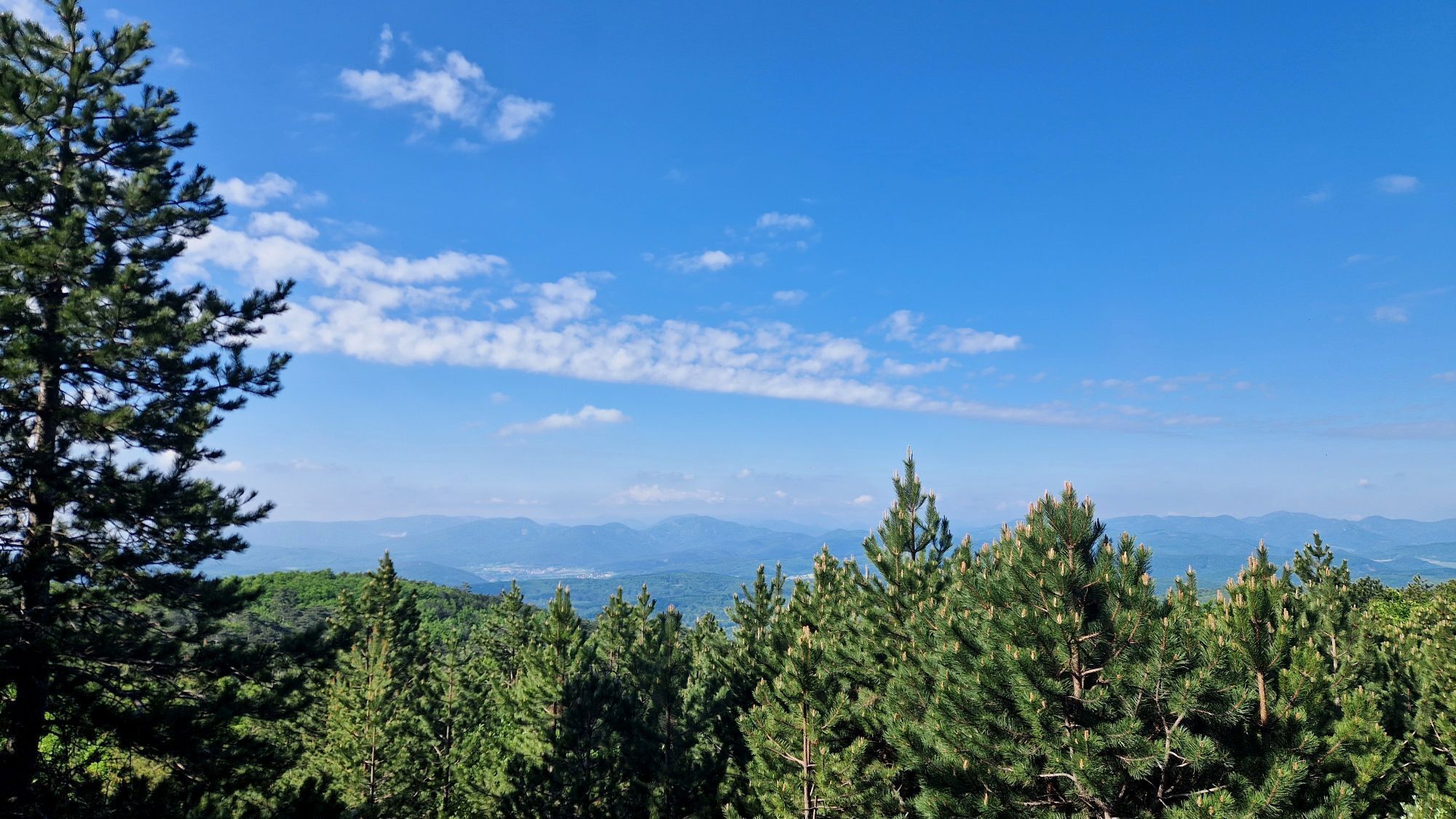
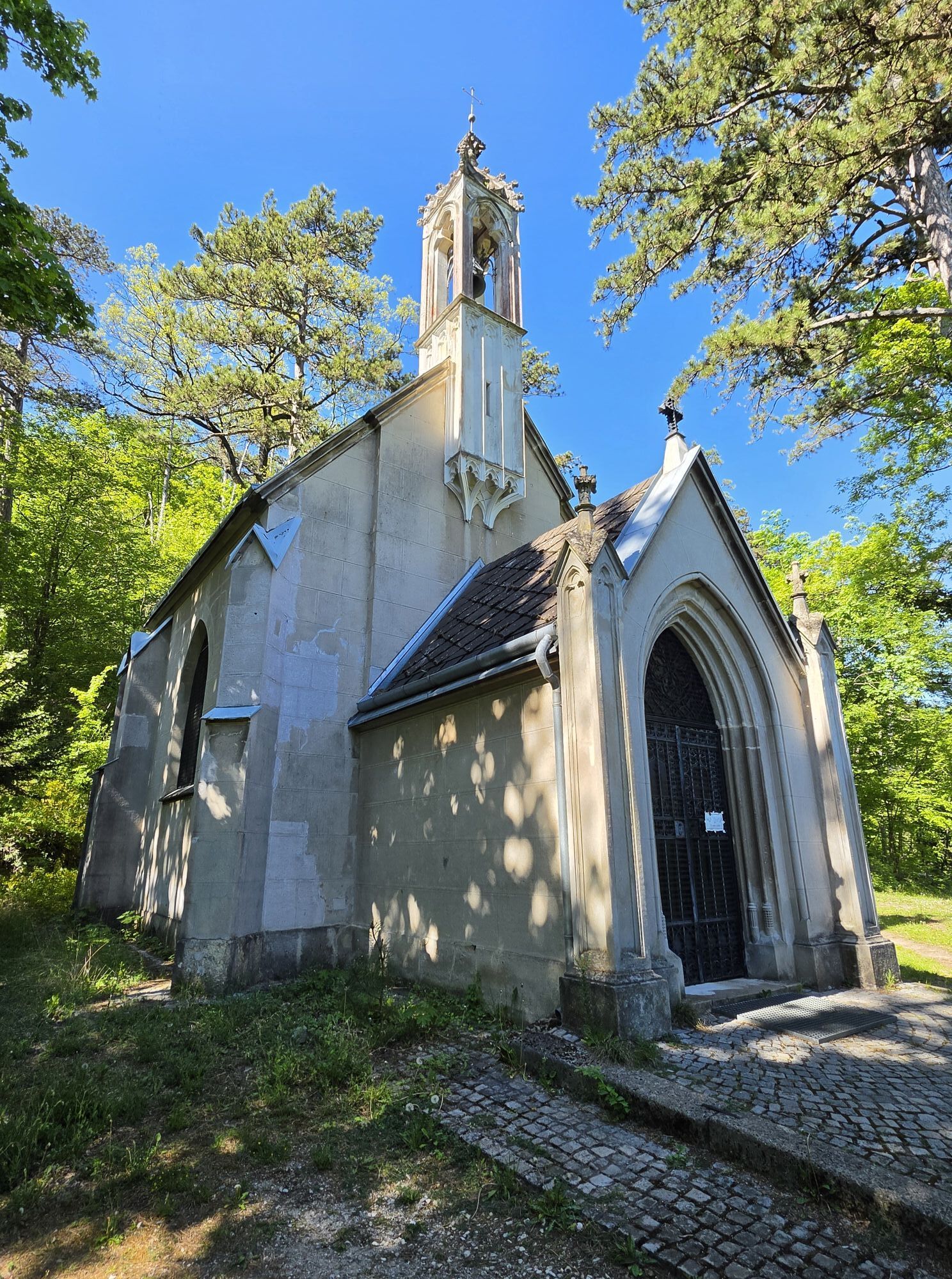
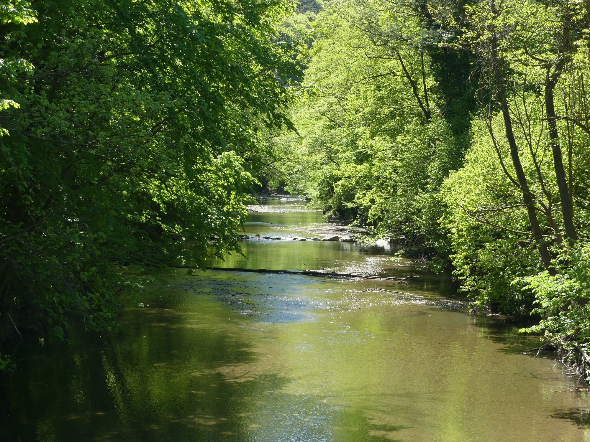
Holzrechenplatz parking lot - Landgasthof Cholerakapelle - Sooßer Lindkogel - Sooß - Holzrechenplatz parking lot



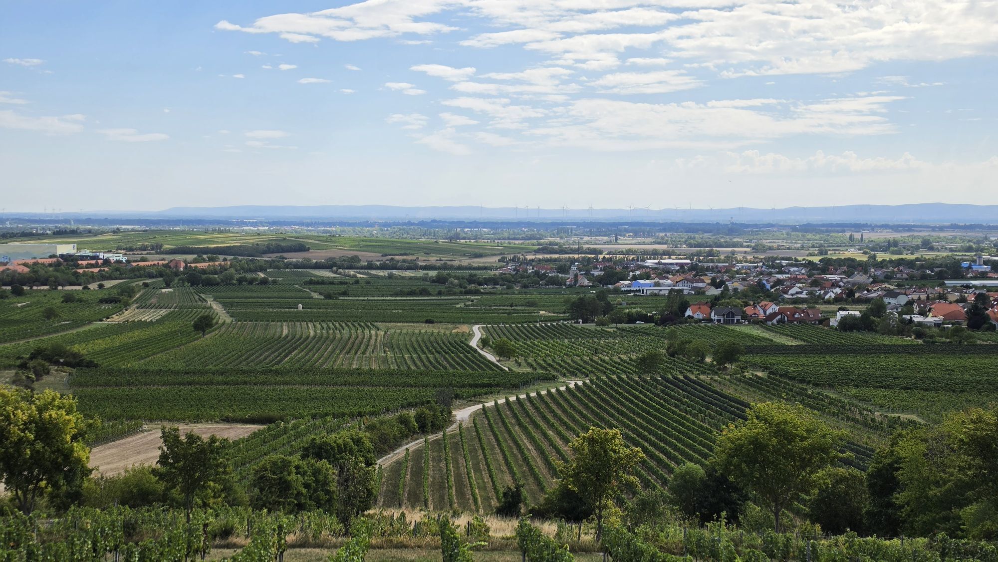
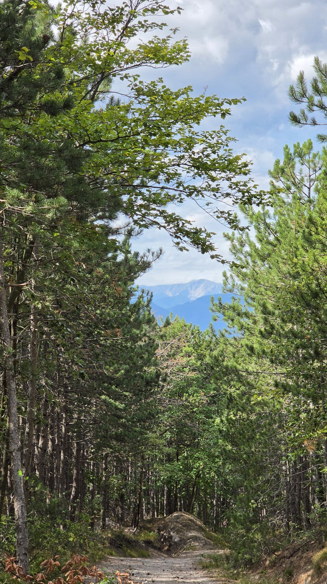
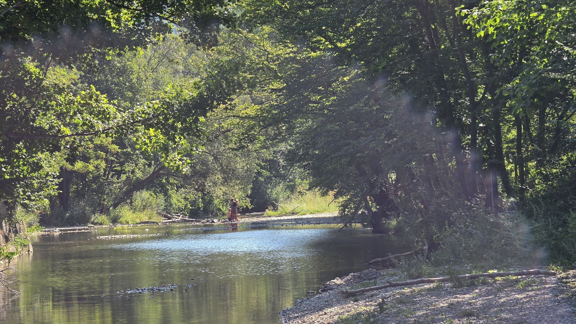
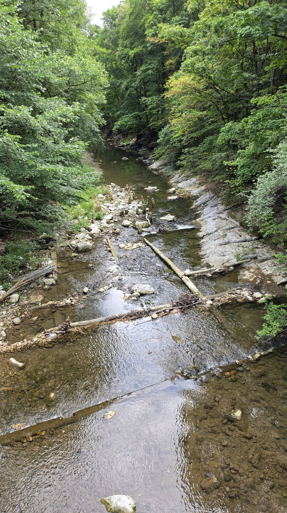
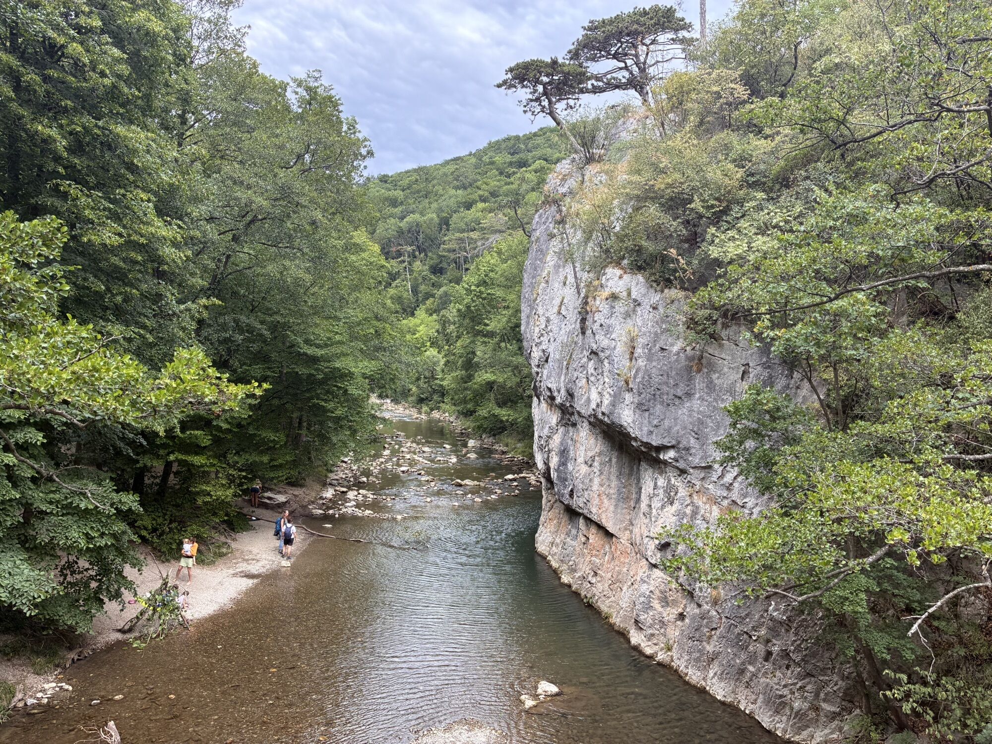
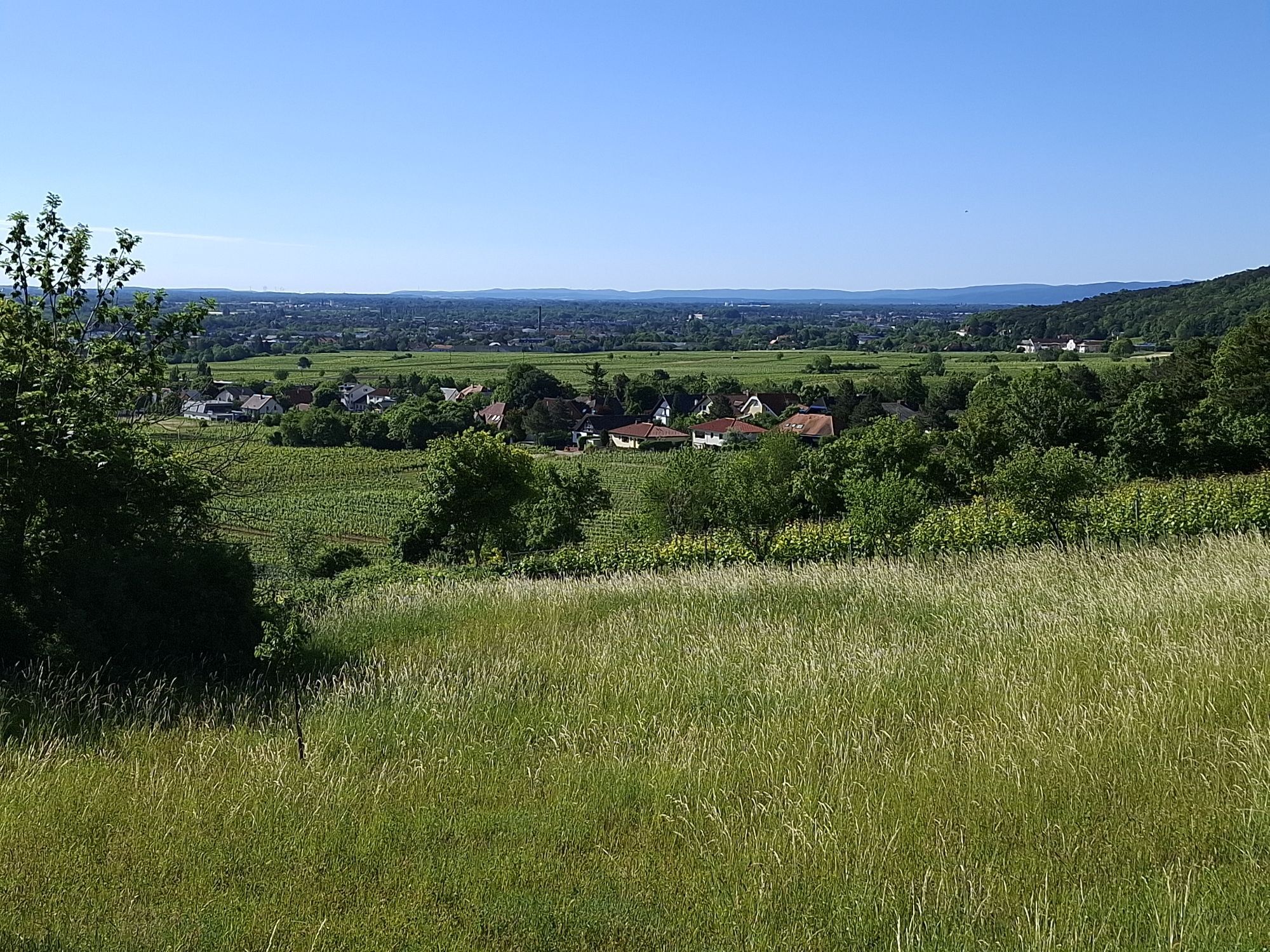
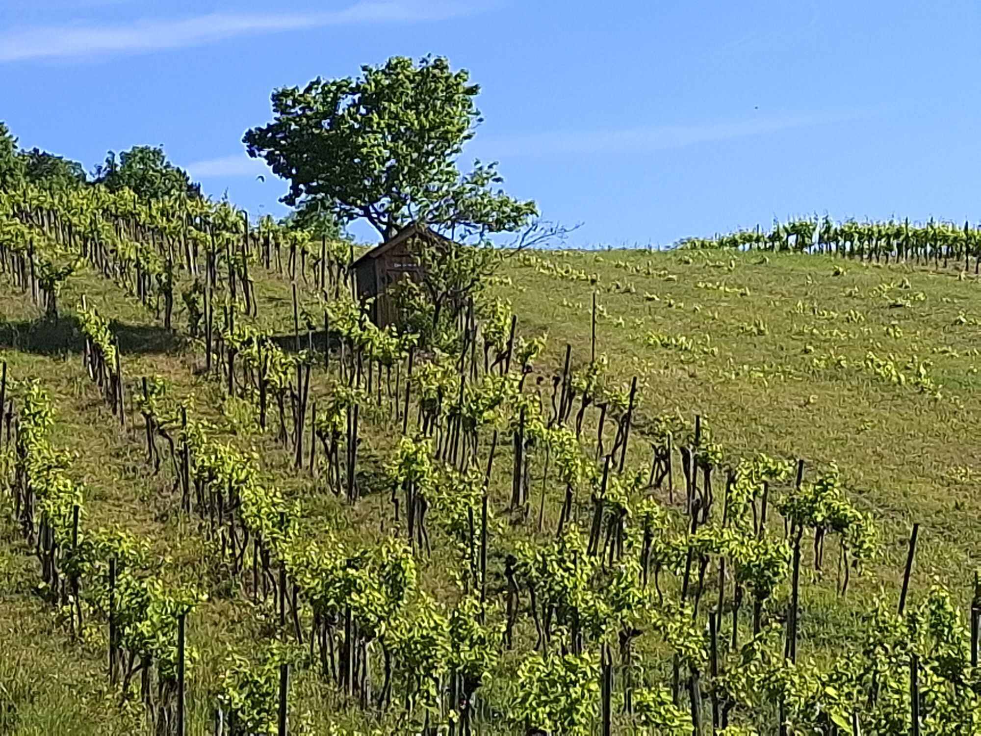
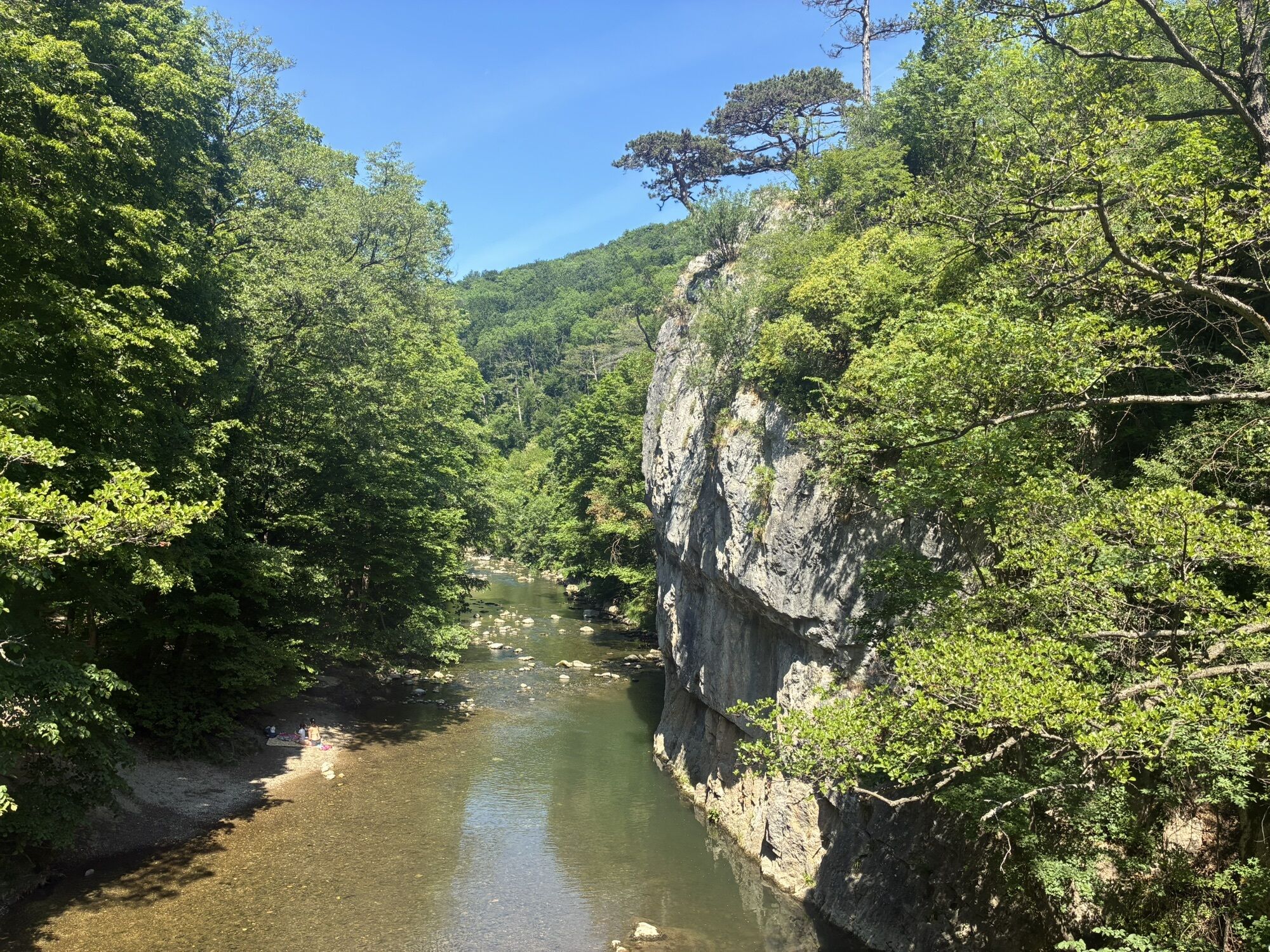
We start on the Promenadenweg and follow the Helenental Bike Trail. Before reaching the Cholerakapelle country inn, we turn left, passing the Antonsgrotte, and after about 1 km uphill, we turn right onto the Kalkgraben. Once at the top, we turn left toward Sooßer Lindkogel. After passing it, we ride down the Haselweg and Brunntalweg, then turn left onto the scenic Steinmauerweg toward Sieghartsgraben. We continue along Steinbruchgasse back to Baden.
Surface: Asphalt 44%, gravel 51%, forest/meadow 5%
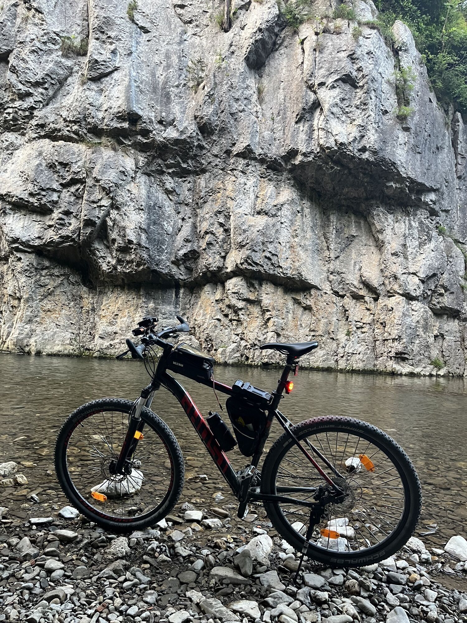
A safe and roadworthy mountain bike is a prerequisite for all routes. A helmet and gloves provide protection in the event of a fall, and knee and elbow pads can be added when riding on single/shared trails. A modern mountain bike with disc brakes and sufficient tire tread is recommended. For single and shared trails rated red difficulty or higher, a full-suspension bike with modern geometry is recommended. Tools, a tire lever, a pump, and a spare tube will help in case of a flat tire. You should also carry enough food and drink, as well as a cell phone and a windbreaker or rain jacket.
Before every ride, check that the brakes, tires, and suspension fork/shock are in good working order. Always ride with an eye out for hazards and at a controlled speed, and choose a route that suits the group’s riding ability and the terrain. The Fair Play rules must be observed at all times. Single/shared trails, as well as built trails in trail parks and trail centers, often feature rocks, roots, steep sections, steps, and sharp turns that require a certain level of riding skill. If in doubt, simply dismount and walk your bike.
The elevation data for this route was calculated based on A-MAP. Due to differences in the map data used by various routing and navigation apps and devices, slight variations in the figures are inevitable. You can find more information on this in the following blog post!
Wienerwald Tourismus GmbH
Hautplatz 1, 3002 Purkersdorf
Tel.: 02231/62176
Email: office@wienerwald.info
Website: www.wienerwald.info
The businesses and excursion destinations along this route are marked directly on the map.

Priljubljeni izleti v okolici
-
4.5
Erlebnisweg Peilstein...auf den Spuren der Kletterer
srednjaTematska pot 6 km -
4.8
Kalenderberg und Burg Liechtenstein
svetlobaPohodništvo 8.48 km -
4.7
AUGUSTINERHÜTTE Parkplatz bei B210 Hoher Lindkogel, Langes Tal 20221030
srednjaPohodništvo 8.02 km -
4.7
Naturpark Sparbach
svetlobaPohodništvo 7.08 km -
4.6
Angelos Touren: vom Helenental auf den Hohen Lindkogel
srednjaPohodništvo 11.4 km -
4.6
Abend/Nachtwanderung Teufelstein
svetlobaPohodništvo 7.15 km -
4.6
Wienerwald: Maria Raisenmarkt - Peilstein
svetlobaZimsko pohodništvo 6.82 km -
4.6
Landschaftspark Liechtenstein - Angelos Touren
svetlobaPohodništvo 6.70 km -
4.6
Von Furth an der Triesting auf das Hocheck, zurück über Eberbach
srednjaPohodništvo 14.3 km -
4.6
Panorama hike Hafnerberg
svetlobaPohodništvo 8.78 km
Pohodništvo in sledenje


Ne zamudite ponudb in navdiha za naslednje počitnice
Vaš e-poštni naslov je bil dodan na poštni seznam.





