






Schöpfl route

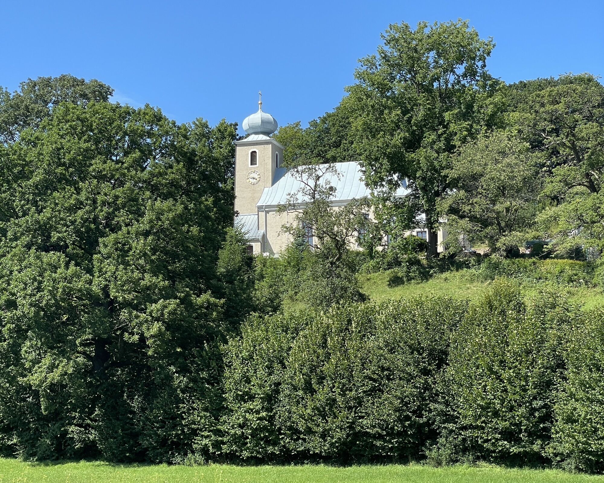
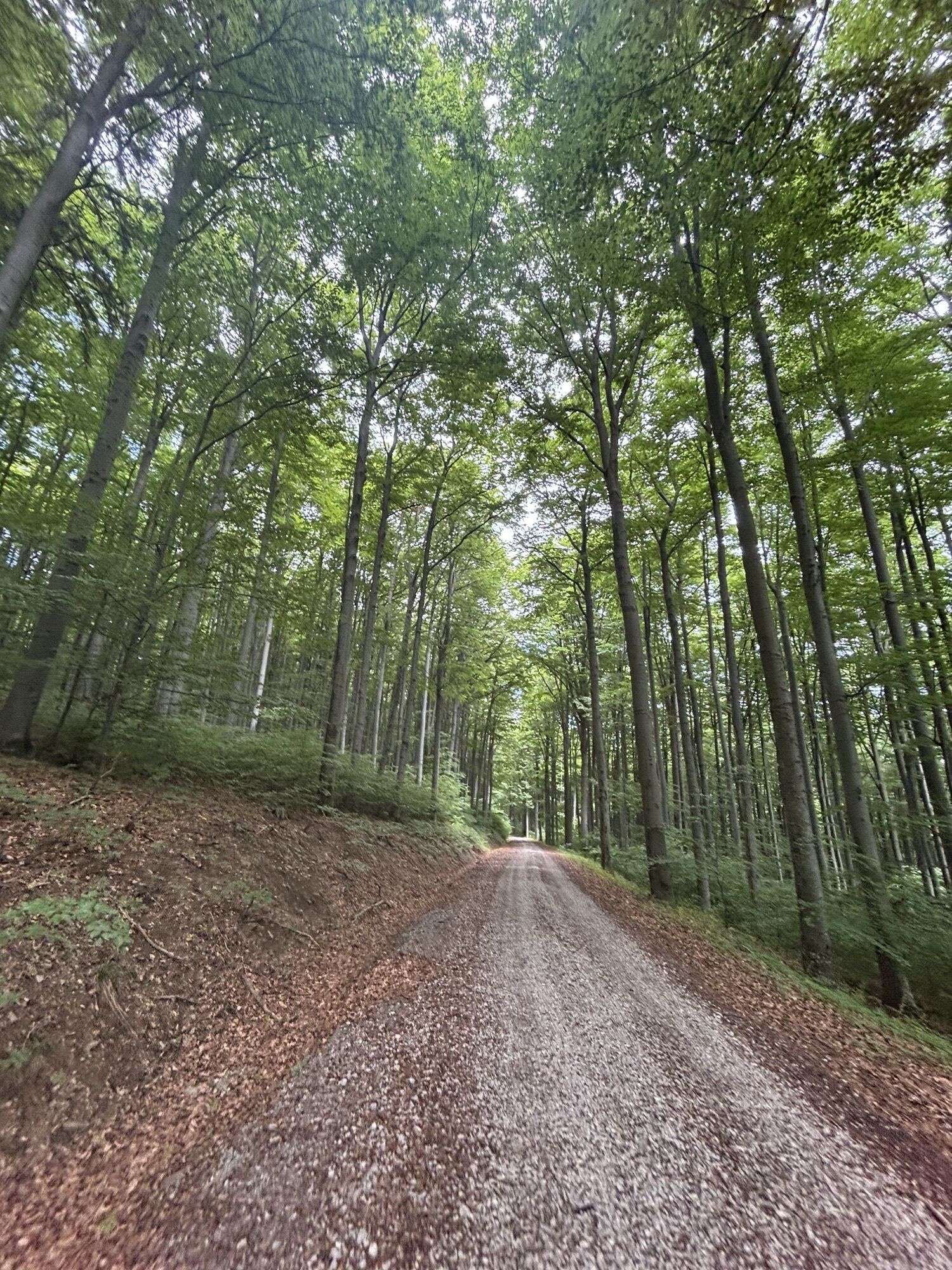

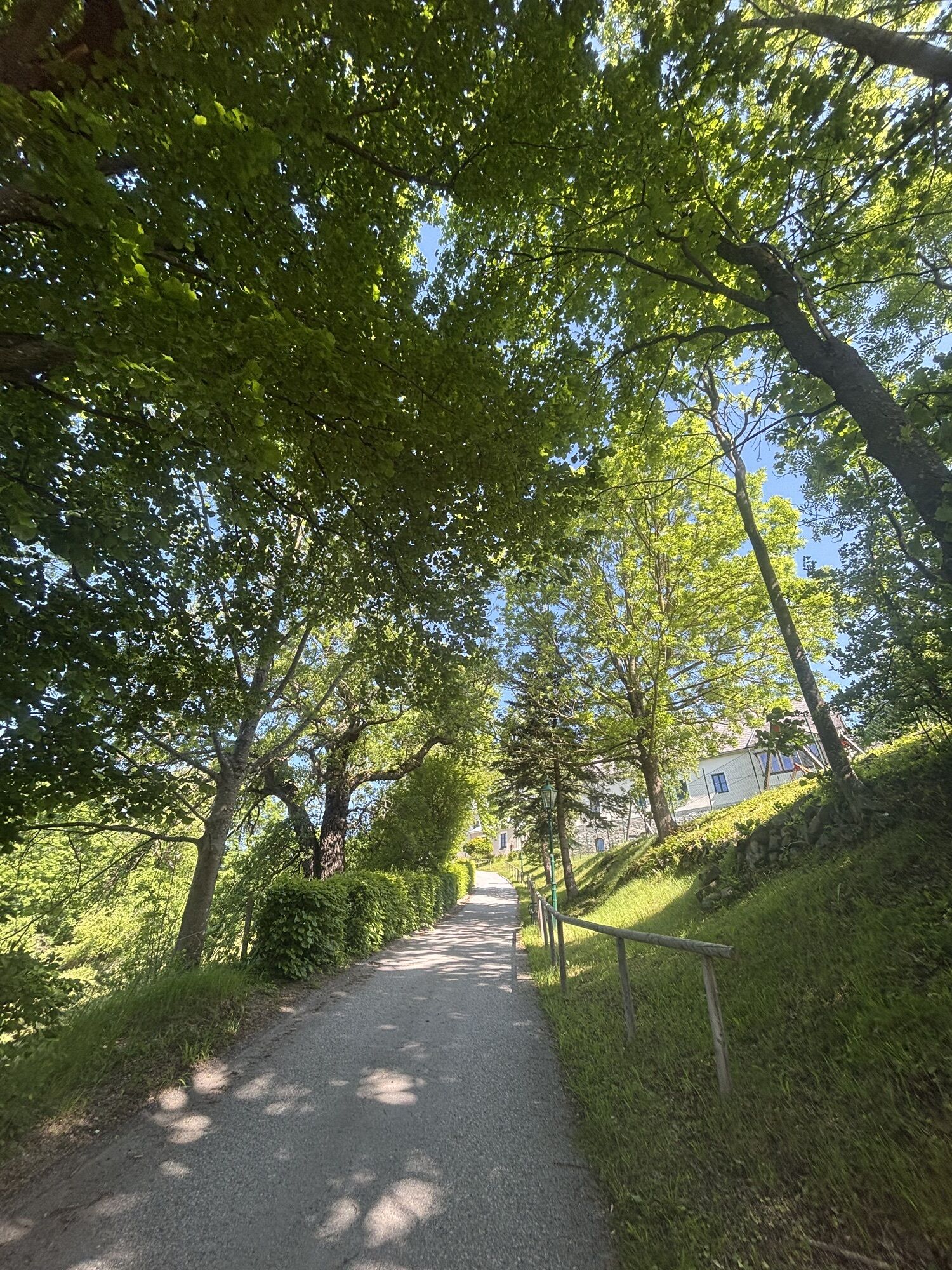
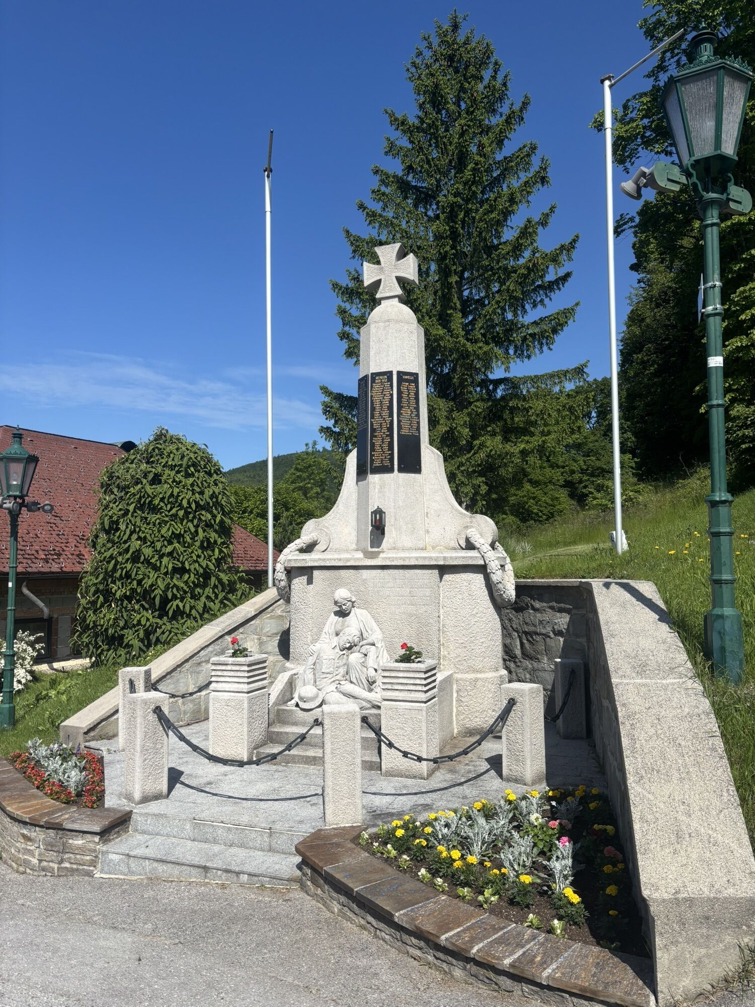
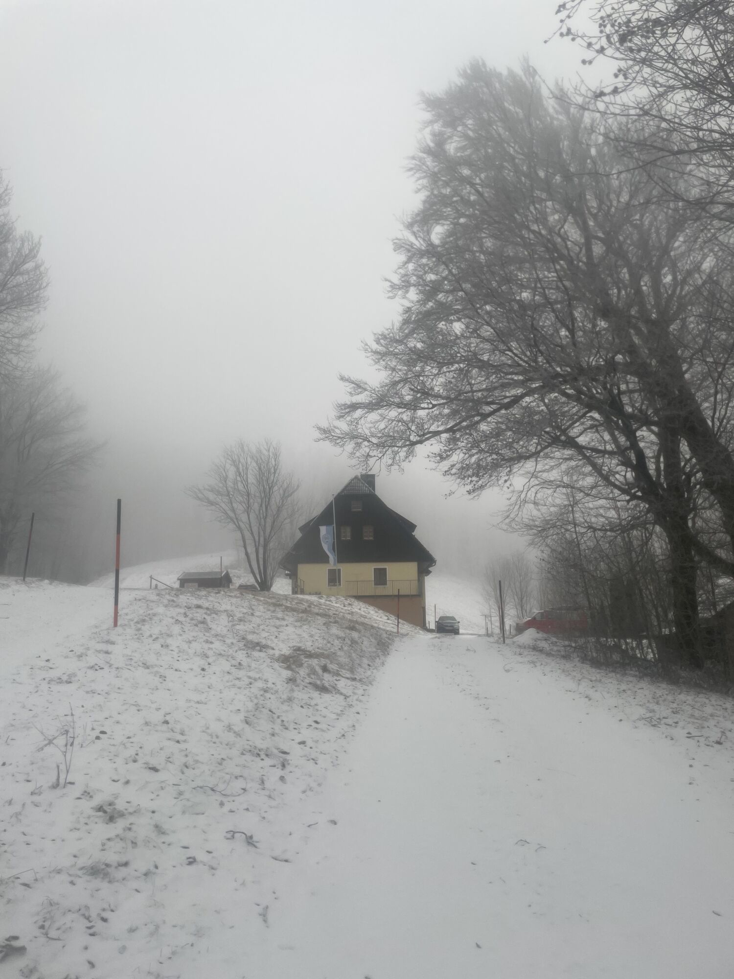
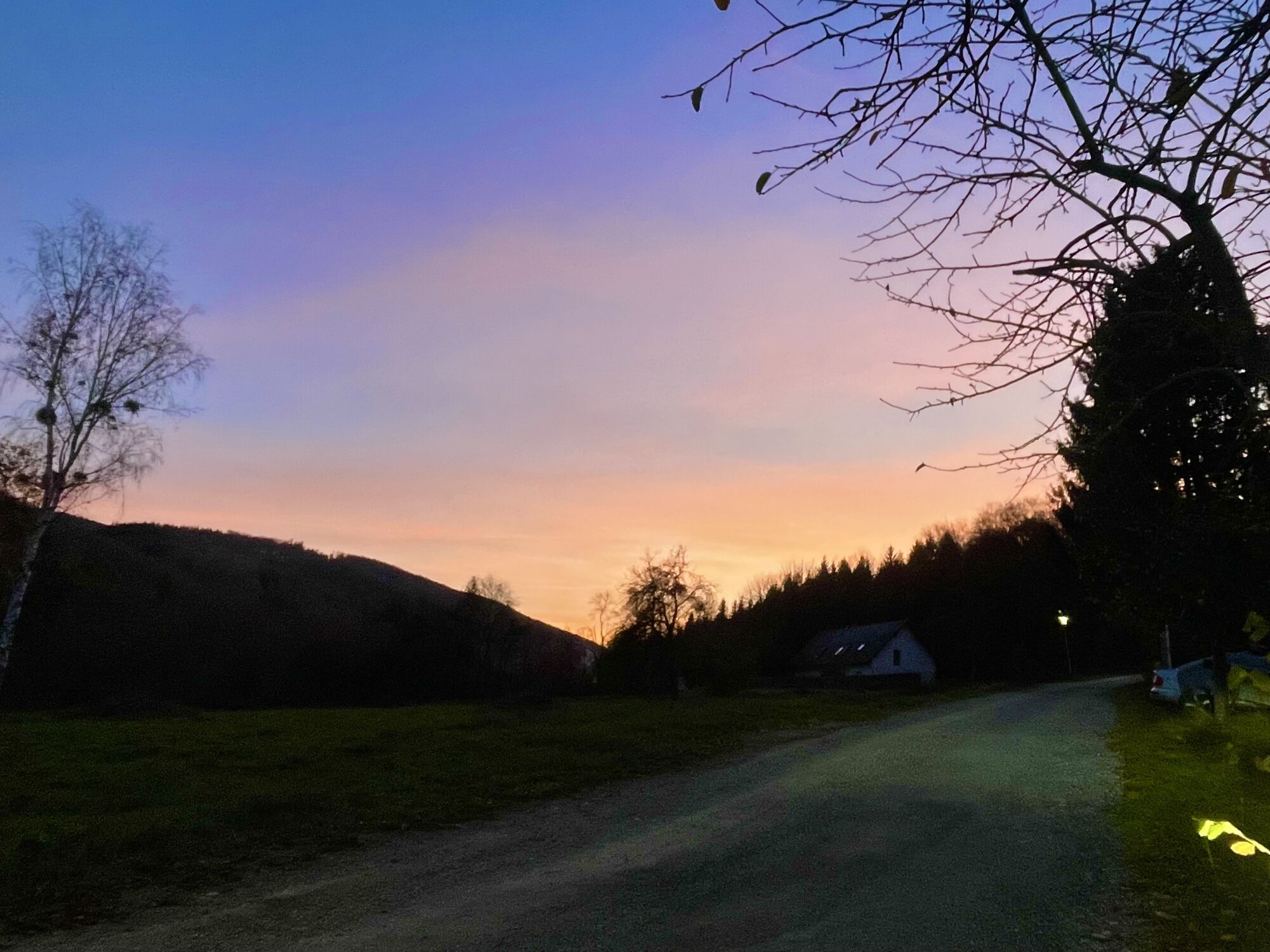
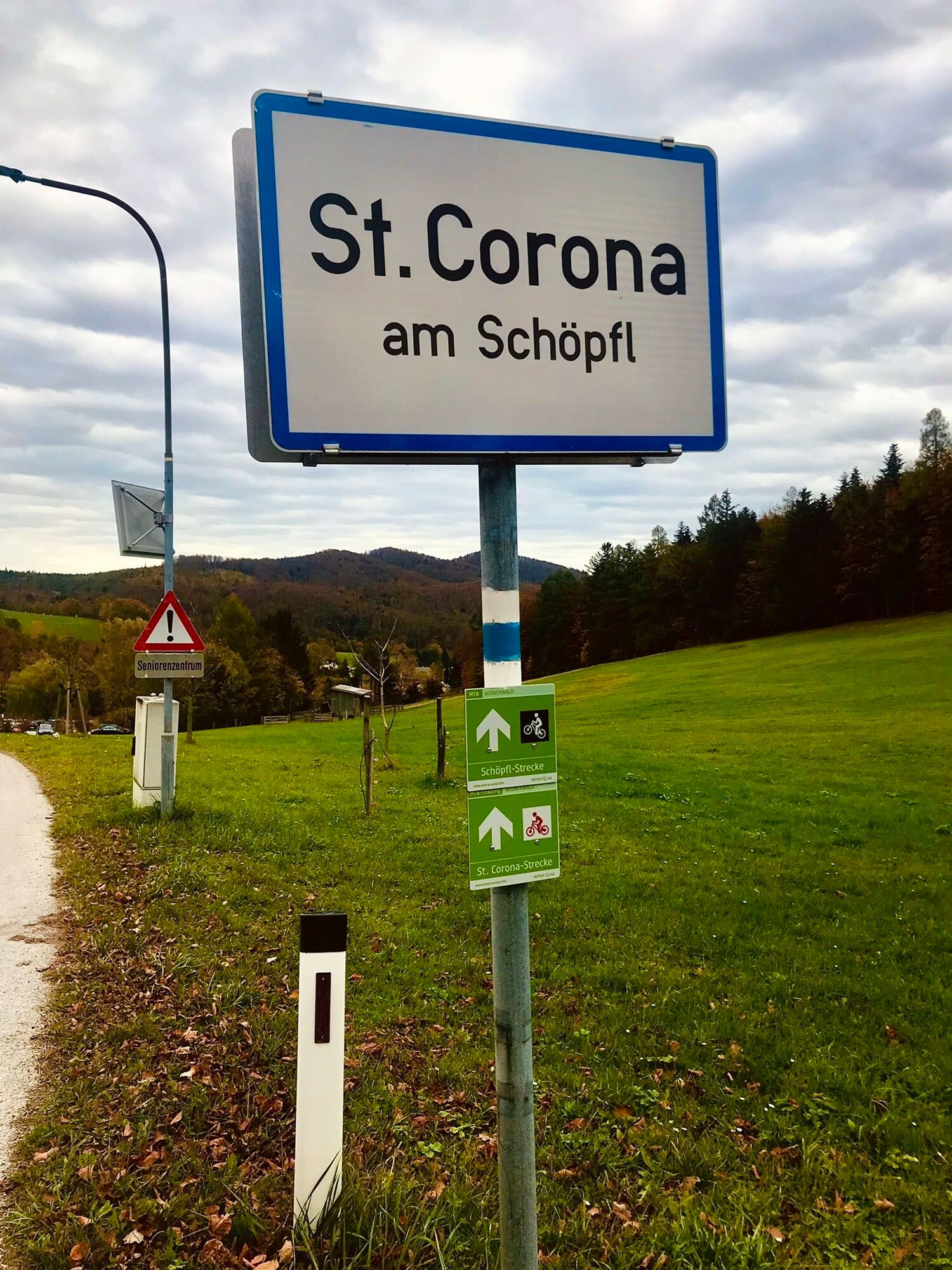
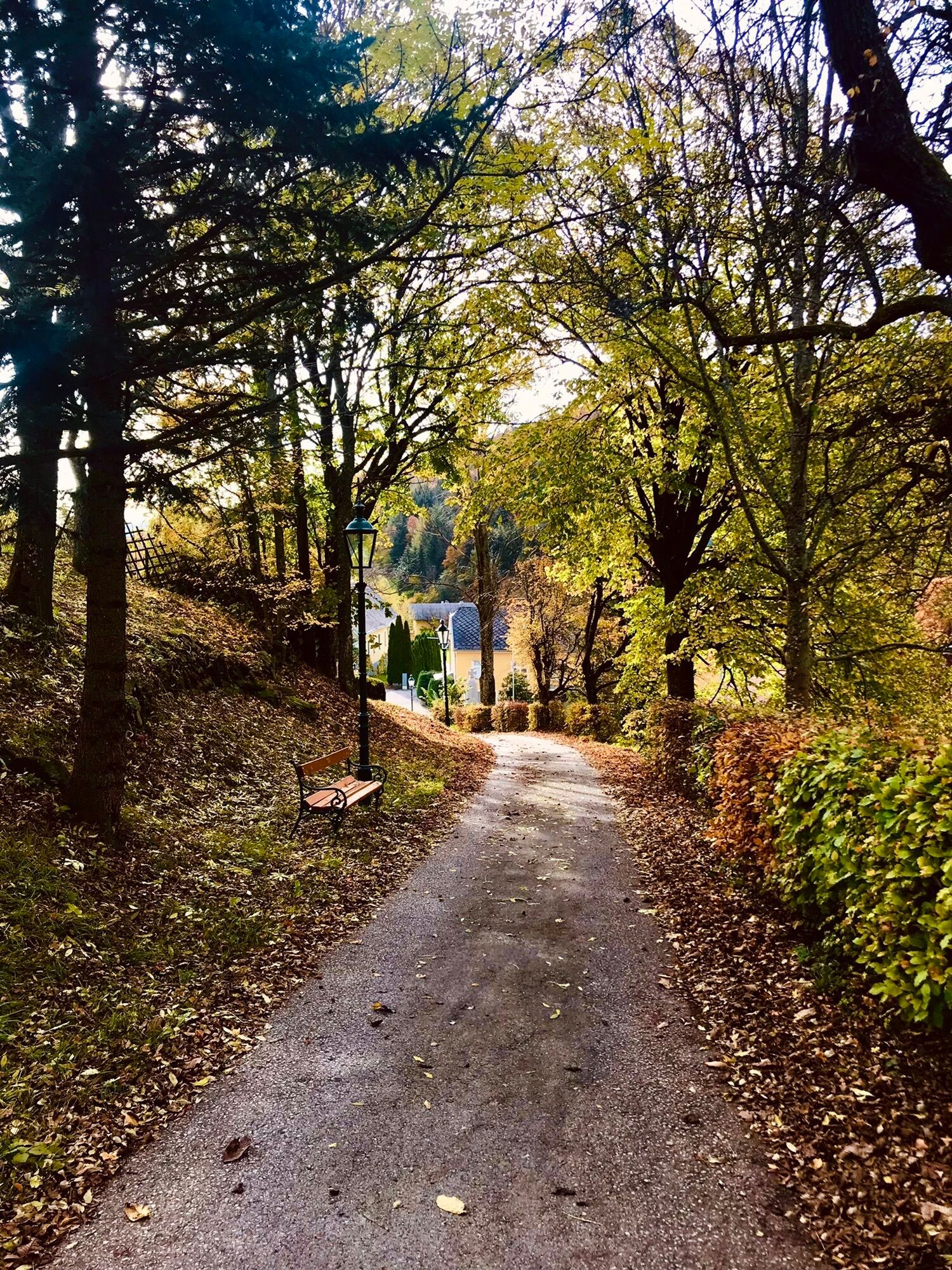
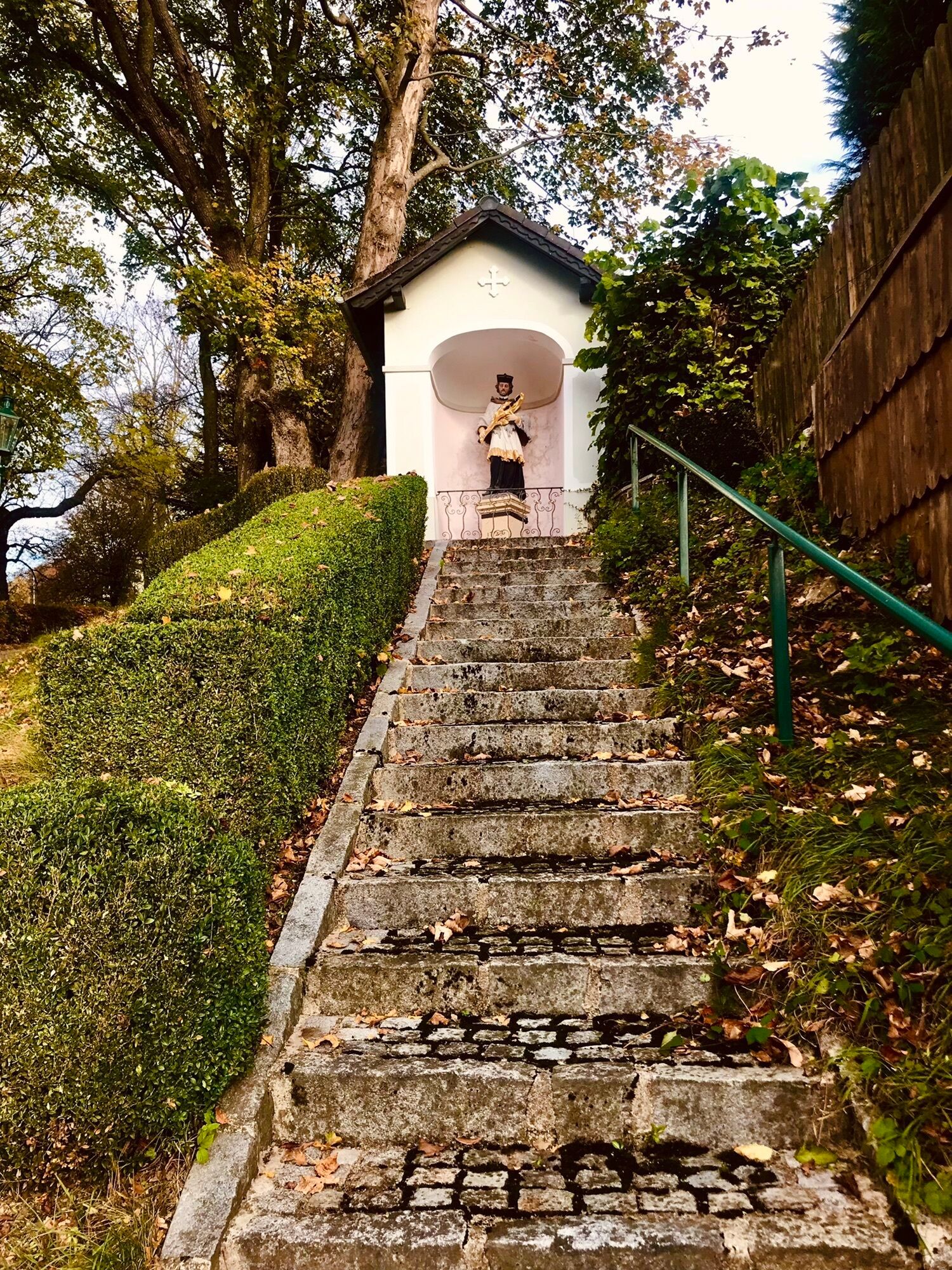

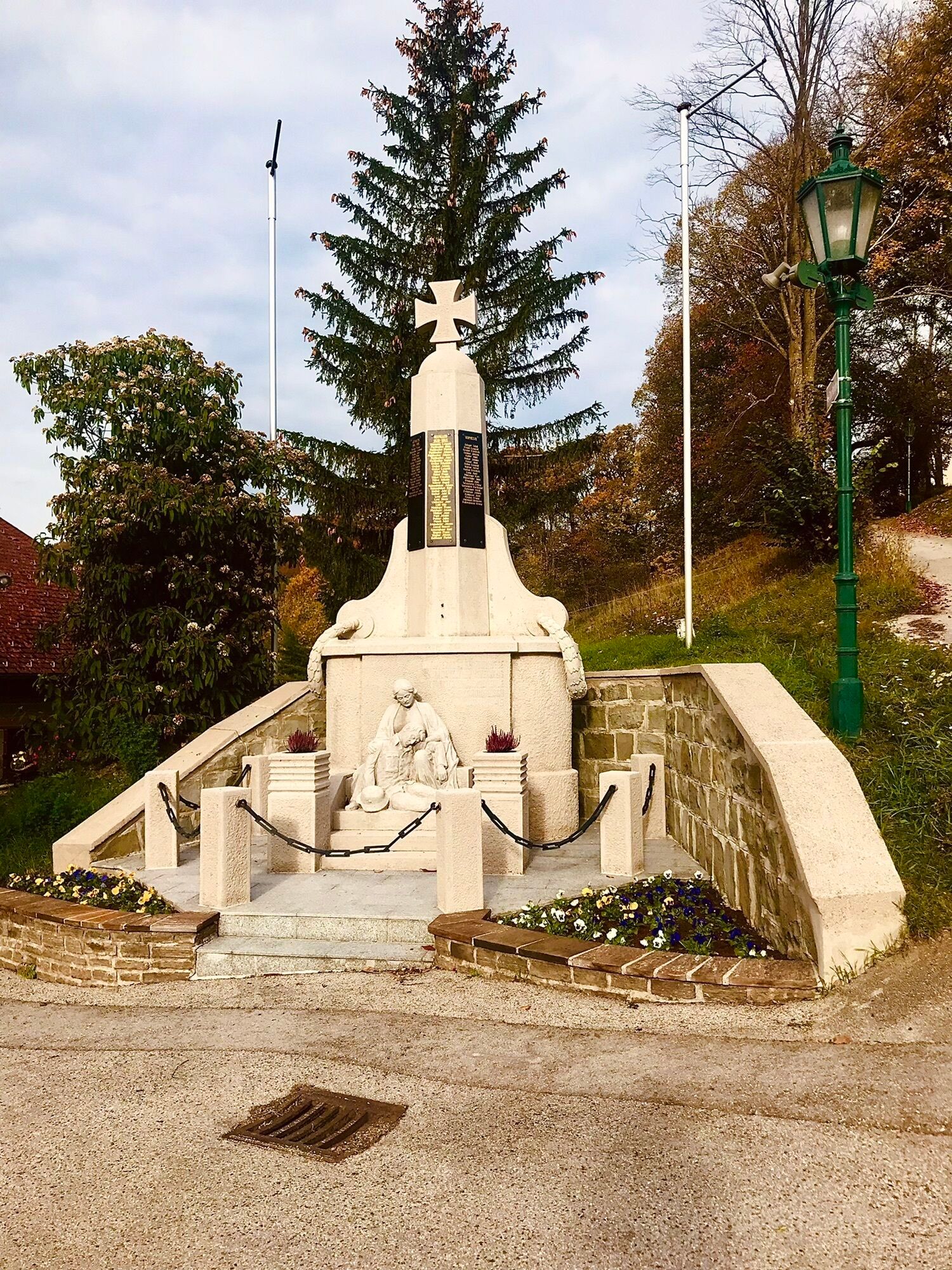
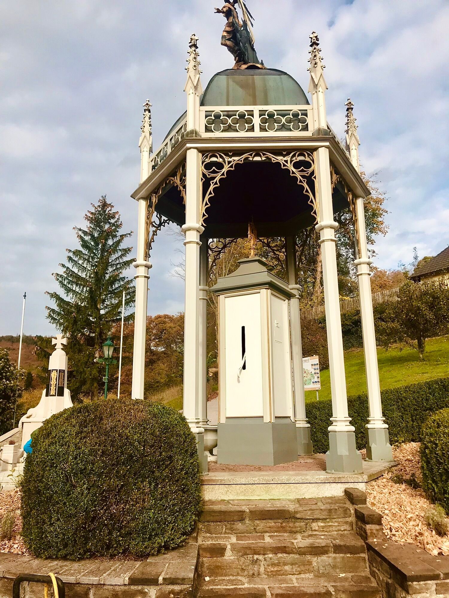
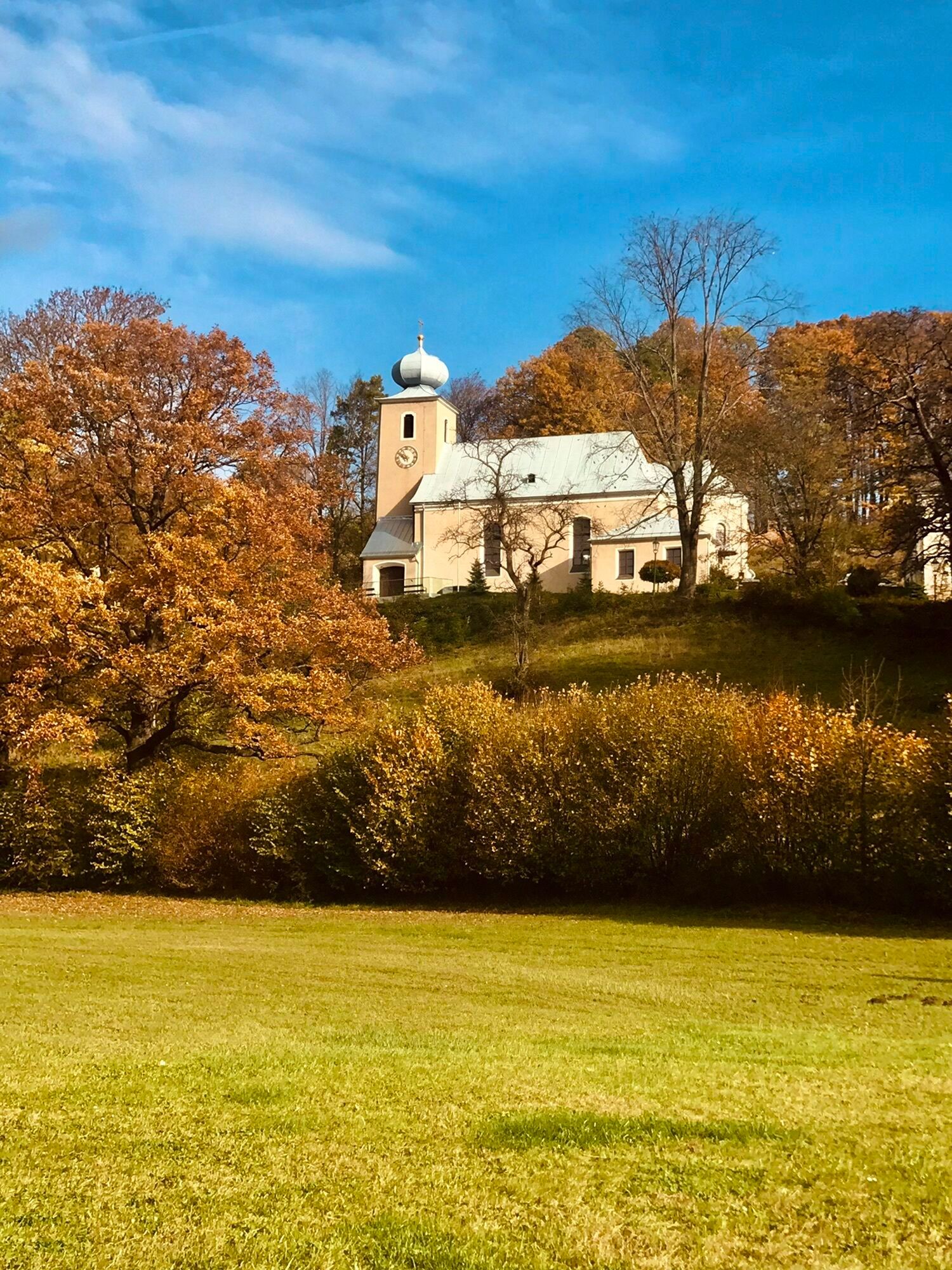
<p>Schöpflgitter - Schöpfl Schutzhaus - Freileitn Stützenreit - St. Corona - Schöpflgitter</p>

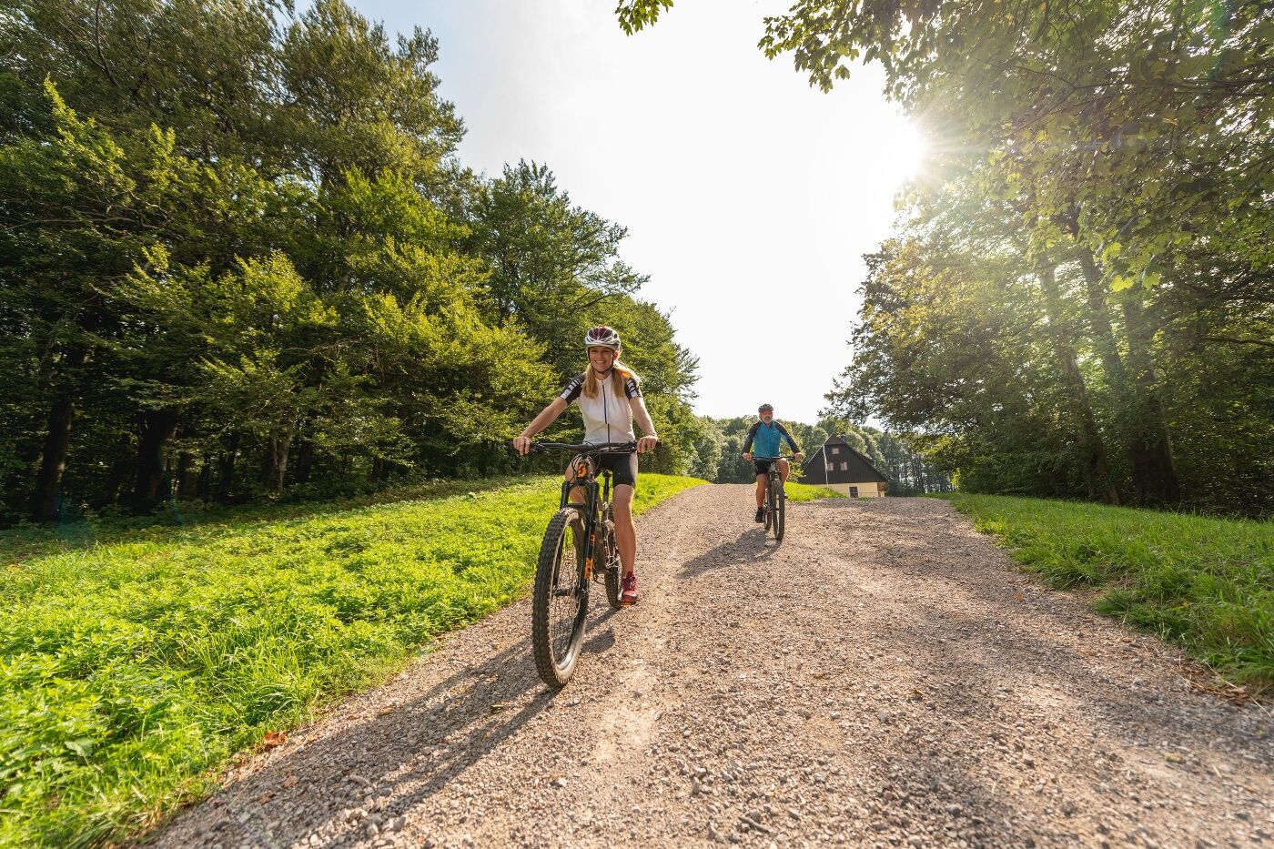

<p>We start in Schöpflgitter and ride up Schöpflgitter Street to the Schöpfl. From the summit, it goes downhill on a road to Wienhof. About 1.3 km after Wienhof, turn left towards St. Corona am Schöpfl and then a short distance on the L127. From there turn right onto the forest road and leisurely ascend towards Hirschenstein. Downhill with two uphill sections leads back to the L127 to ride via Riesenbach back to the starting point.</p><p>Surface: Asphalt 31%, Gravel 63%, Forest/meadow 6%</p>
<p>A safe and functional mountain bike is a prerequisite for all routes. Helmet and gloves protect in case of falls and can be supplemented on single/shared trails by knee and elbow protectors. A modern mountain bike with disc brakes and sufficient tire tread is recommended. For single and shared trails starting at the red difficulty level, a full-suspension bike with modern geometry is recommended. Tools, tire levers, pump, and spare tube help in case of a puncture. Sufficient provisions (drinks and food) as well as a mobile phone and wind/rain jacket should also be carried.</p>
<p>Before every ride check the functionality of brakes, tires, and suspension fork/damper. Always ride with hazard awareness and controlled speed and adapt the choice of route to the riding skills of the group and the terrain. The <strong><a href="www.wienerwald.info/mountainbiker-fai... Play</a></strong> rules must always be observed. Single/shared trails as well as built routes in trail parks and trail centers increasingly have stones, roots, steep sections, steps, and sharp bends that require certain riding skills. When in doubt, simply get off and push the bike.</p>
<p>Coming from Vienna on the A2, exit Leobersdorf, B18 to Berndorf, right onto Pottensteiner Straße, continue to Pottenstein.
</p><p>Coming from the west on the A1, at the Steinhäusl junction take the A21 towards A4, exit Alland, continue on B11 and B18 to Pottenstein.</p>
The elevation data for this route was calculated based on the A-MAP. Due to different map data from routing/navigation apps and devices, slight differences are inevitable. More information can be found in the following blog post!
Wienerwald Tourismus GmbH
Hauptpl. 11, 3002 Purkersdorf
Tel. +43/2231/621 76
E-mail: office@wienerwald.info
Website: www.wienerwald.info
Information for possible excursion destinations:
Klausen-LeopoldsdorfPlaces to eat:
Inn "Zum Schöpflgitter"
Pridobite vpogled
Vedno v živo na mestu z več kot 9.500 spletnimi kamerami. bergfex Kot uporabnik Pro si lahko zdaj ogledate ustrezne spletne kamere za številne izlete v aplikaciji izleti iz. Tako si lahko neposredno ogledate trenutne razmere.
Priljubljeni izleti v okolici
-
4.5
Erlebnisweg Peilstein...auf den Spuren der Kletterer
srednjaTematska pot 6 km -
4.7
Schöpfl
svetlobaPohodništvo 9.52 km -
4.6
Kieneck über Enziansteig & Mareschsteig
svetlobaPohodništvo 13.8 km -
4.6
Wienerwald: Maria Raisenmarkt - Peilstein
svetlobaZimsko pohodništvo 6.82 km -
4.6
Panorama hike Hafnerberg
svetlobaPohodništvo 8.78 km -
4.5
Kieneck über den Enziansteig
svetlobaPohodništvo 12.6 km -
4.2
RAMSAU Sägewerk Wittmann Kieneck Reingupf retour 02.11.2017
srednjaPohodništvo 14.6 km -
4.7
Wanderung zum Peilstein/Alland
srednjaPohodništvo 7.09 km -
4.0
Schöpfl von Sankt Corona
srednjaPohodništvo 10.1 km -
4.2
Hainfelder Hütte: Schöner Rundkurs abseits der Massen
svetlobaPohodništvo 10.1 km
Pohodništvo in sledenje


Ne zamudite ponudb in navdiha za naslednje počitnice
Vaš e-poštni naslov je bil dodan na poštni seznam.





