







Georgenberg route

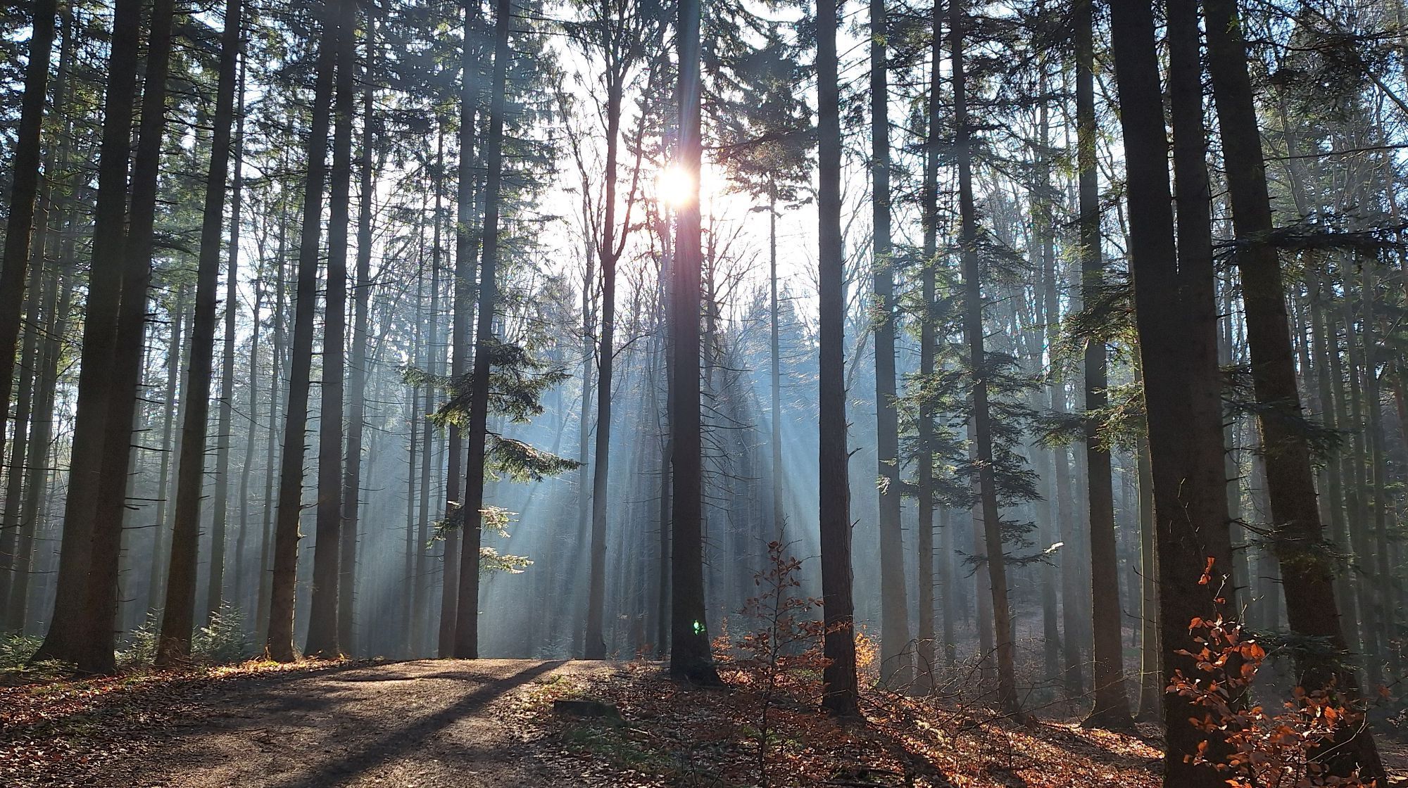
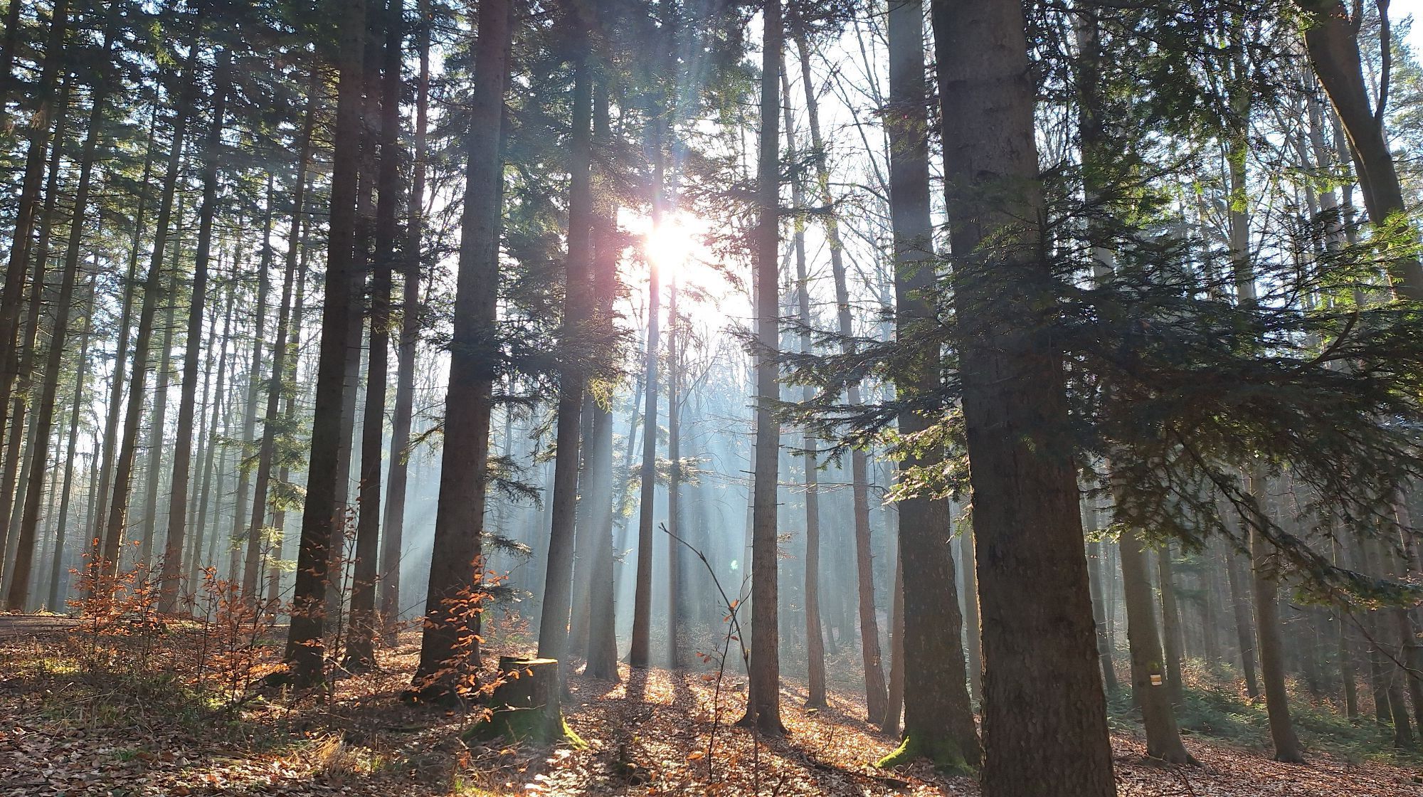
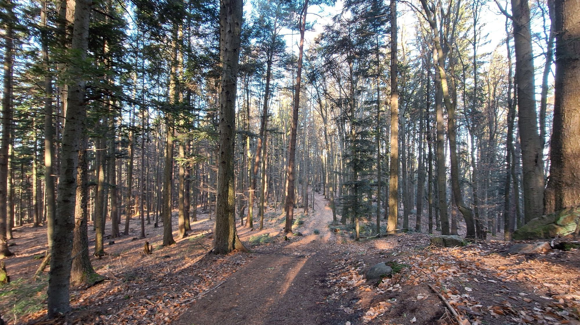
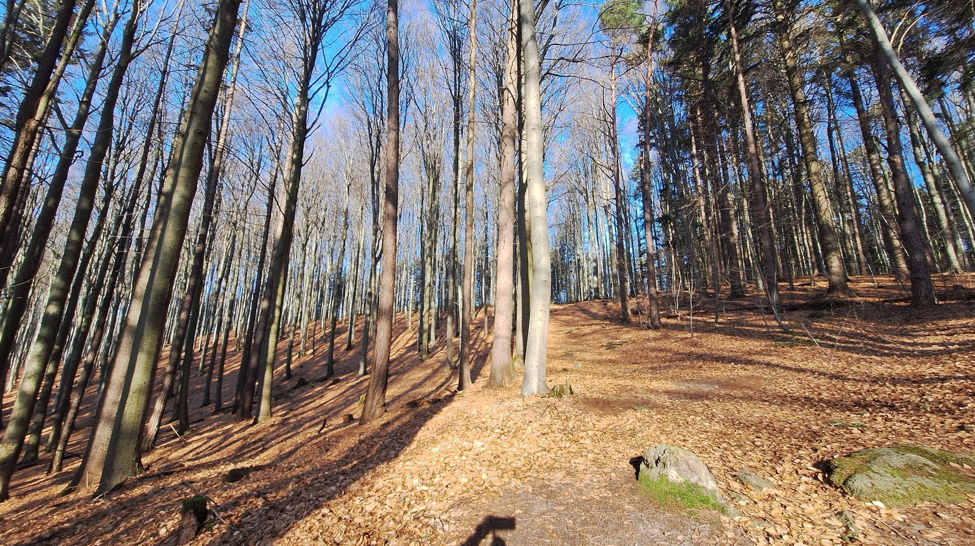
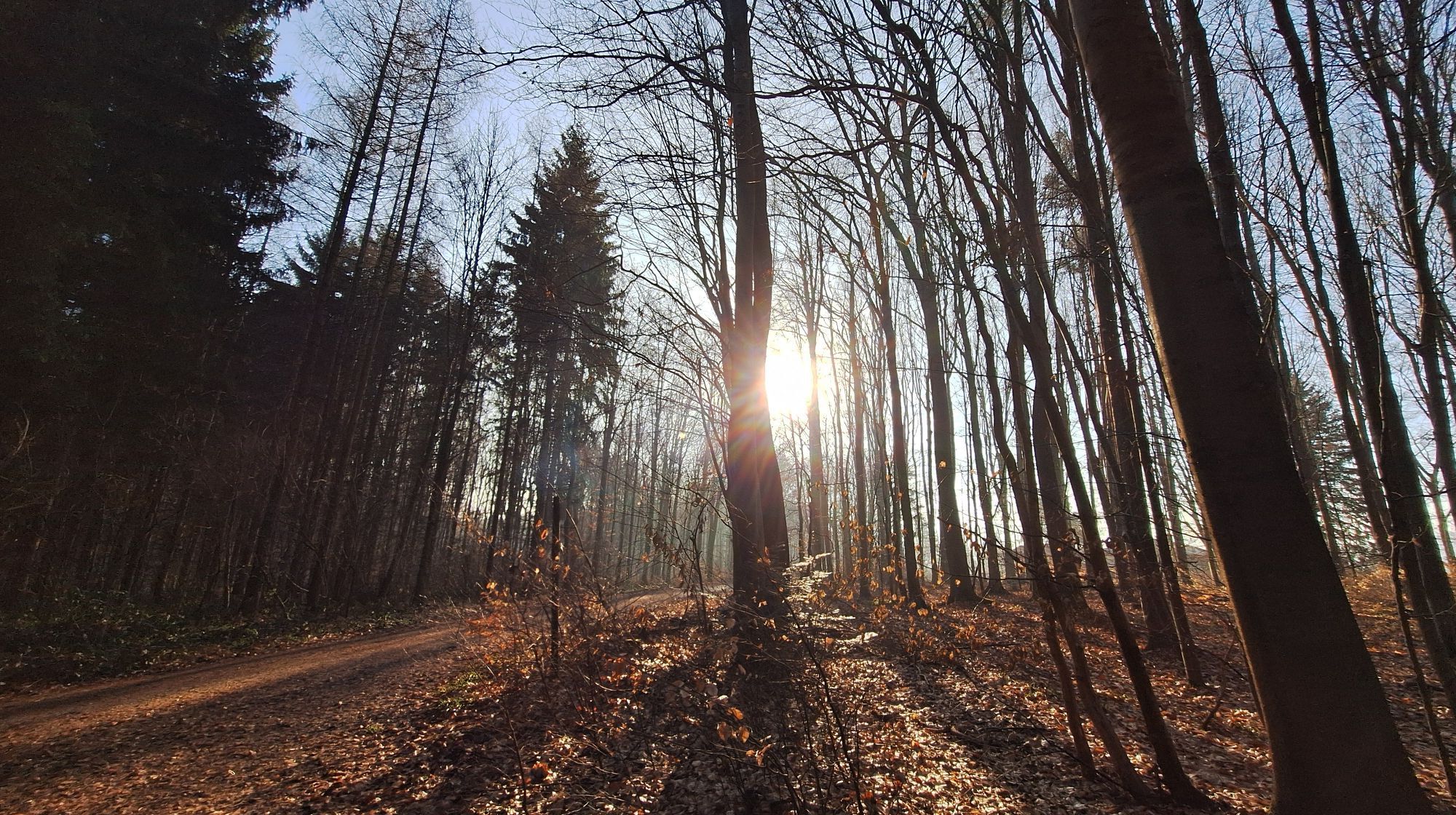
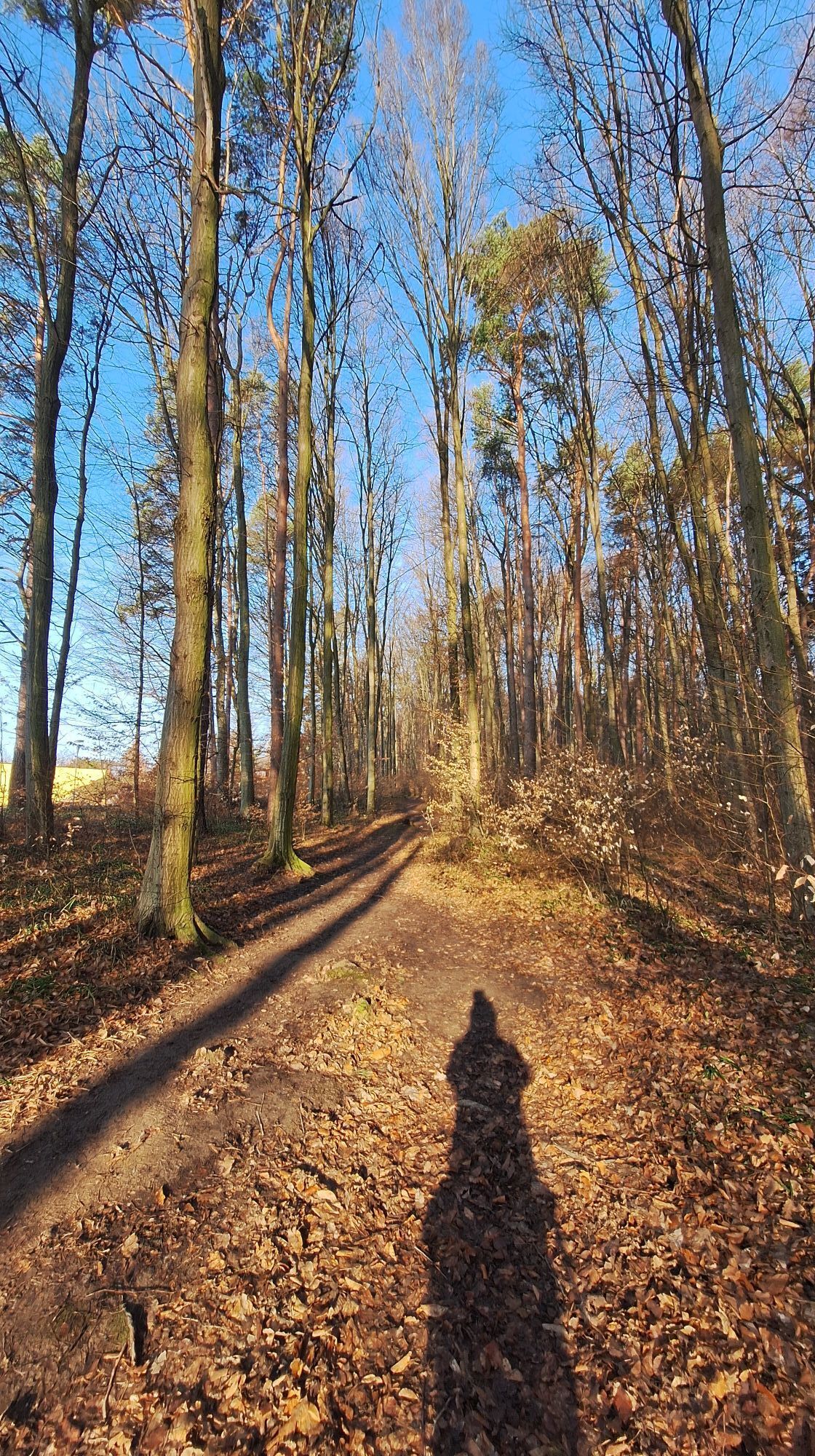
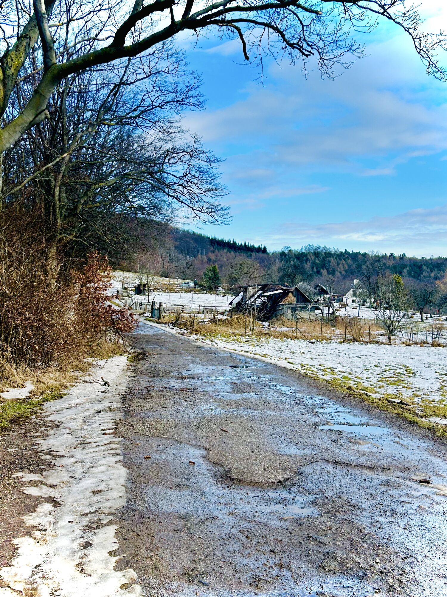
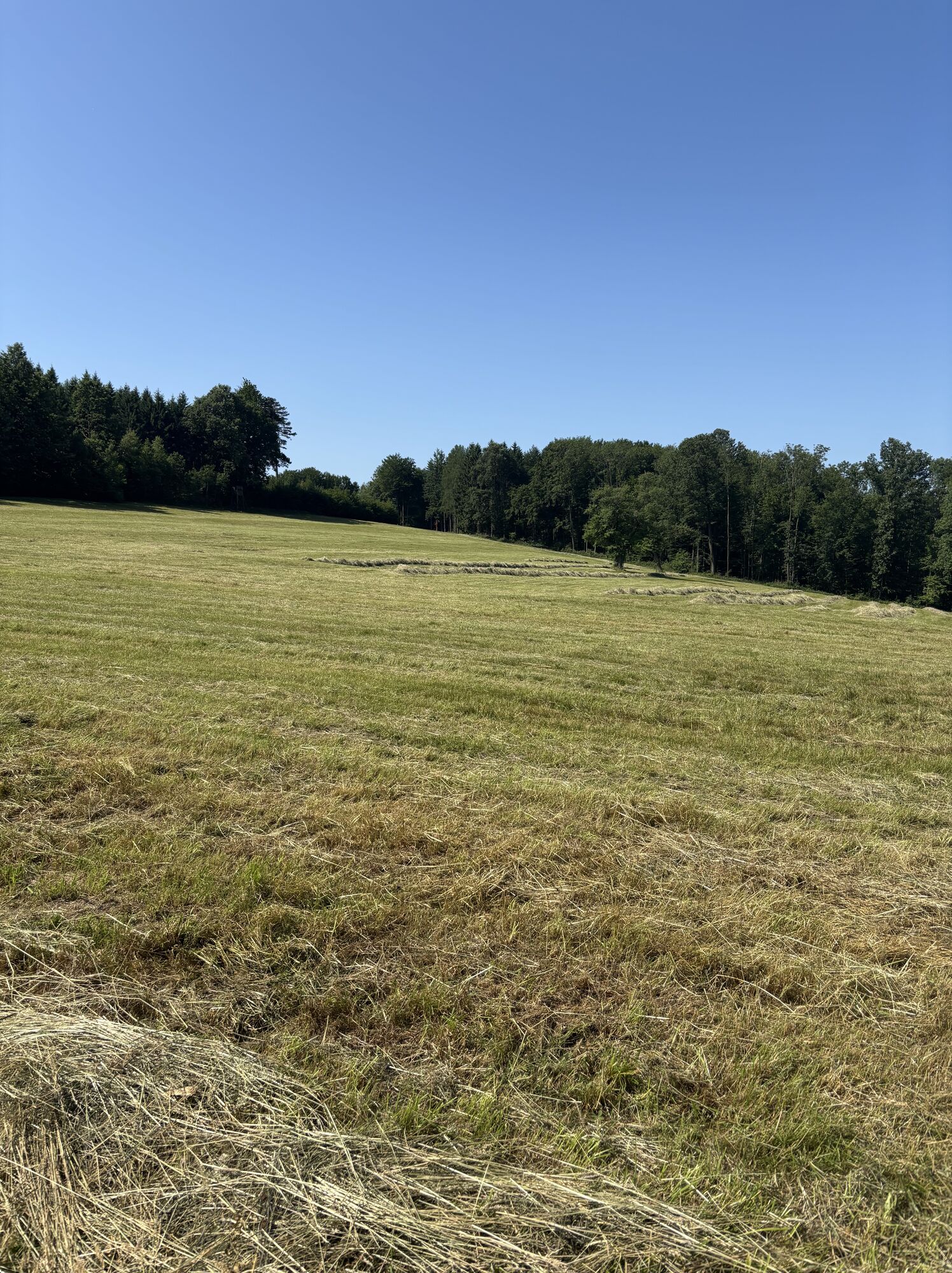
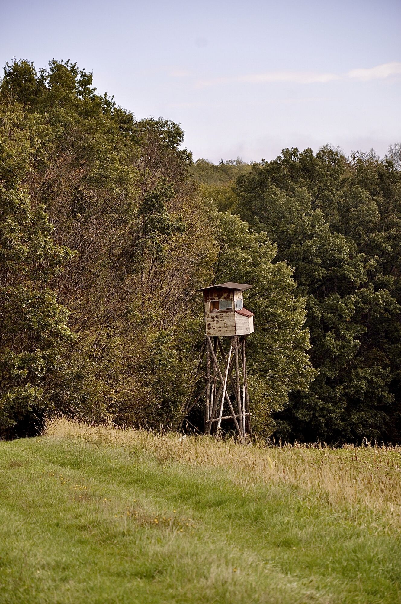
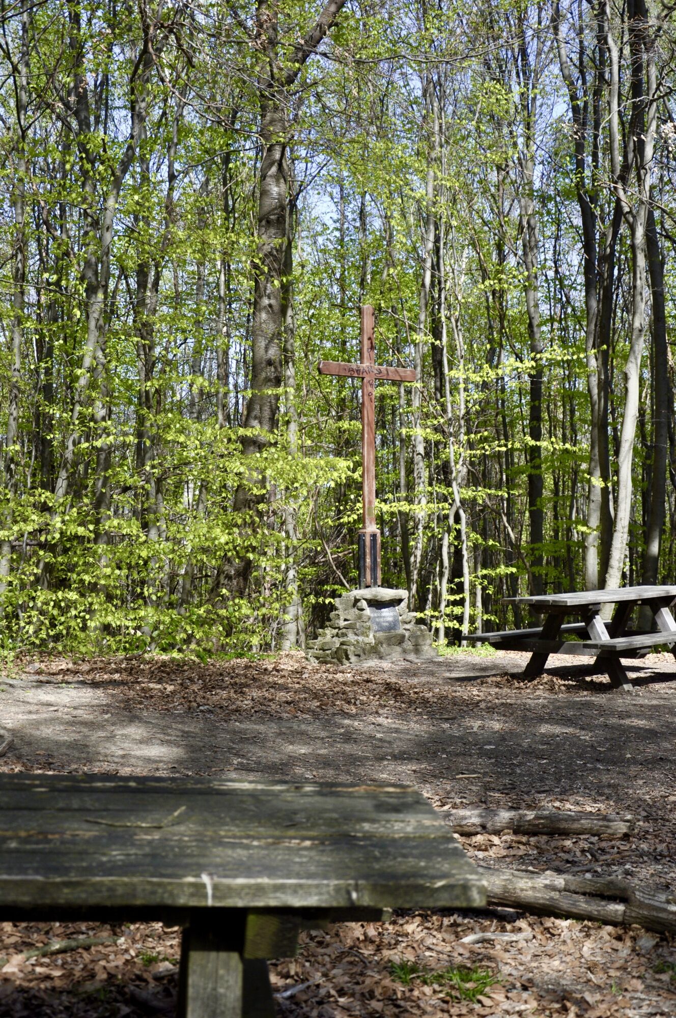
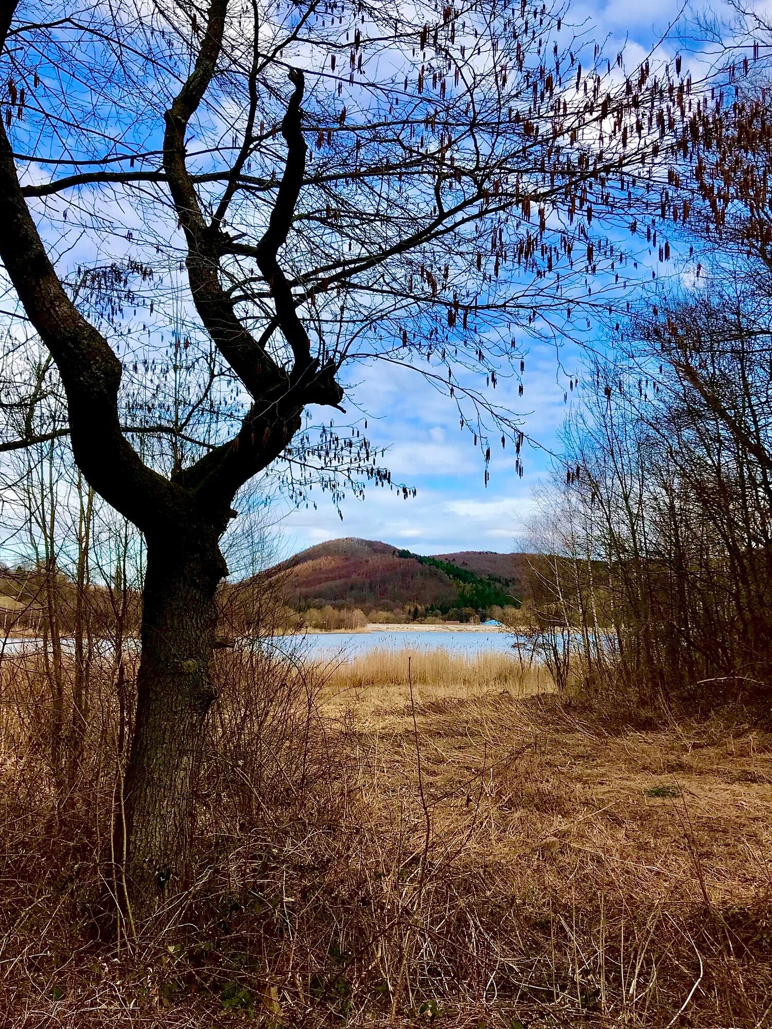
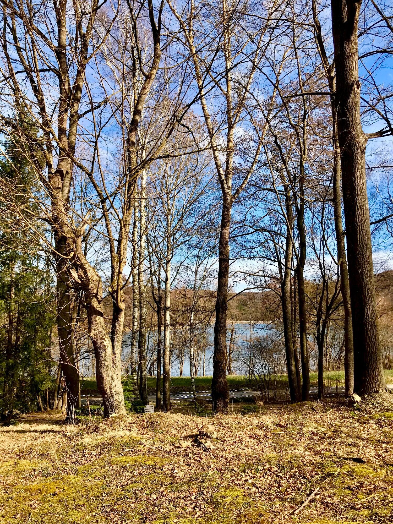
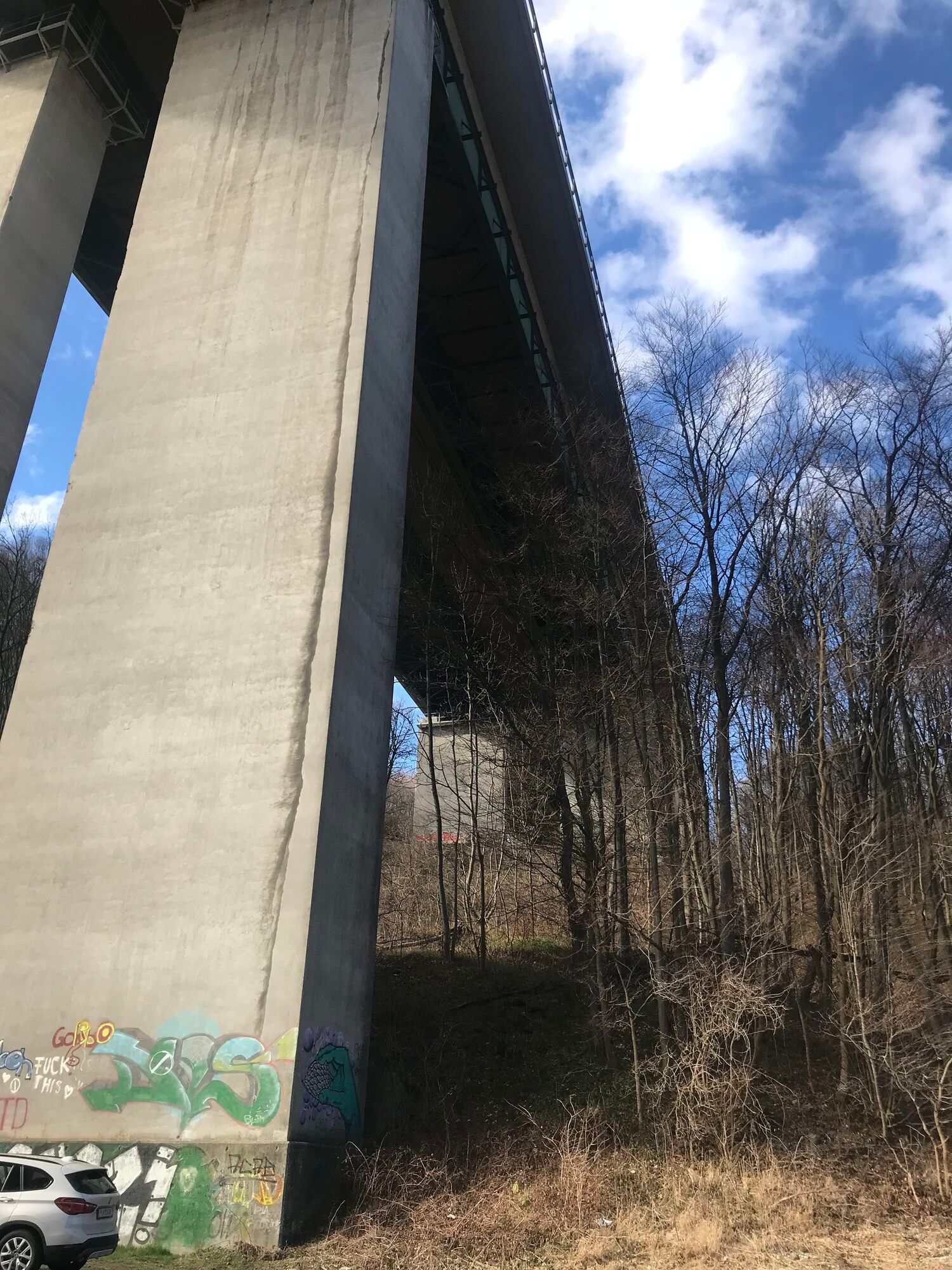
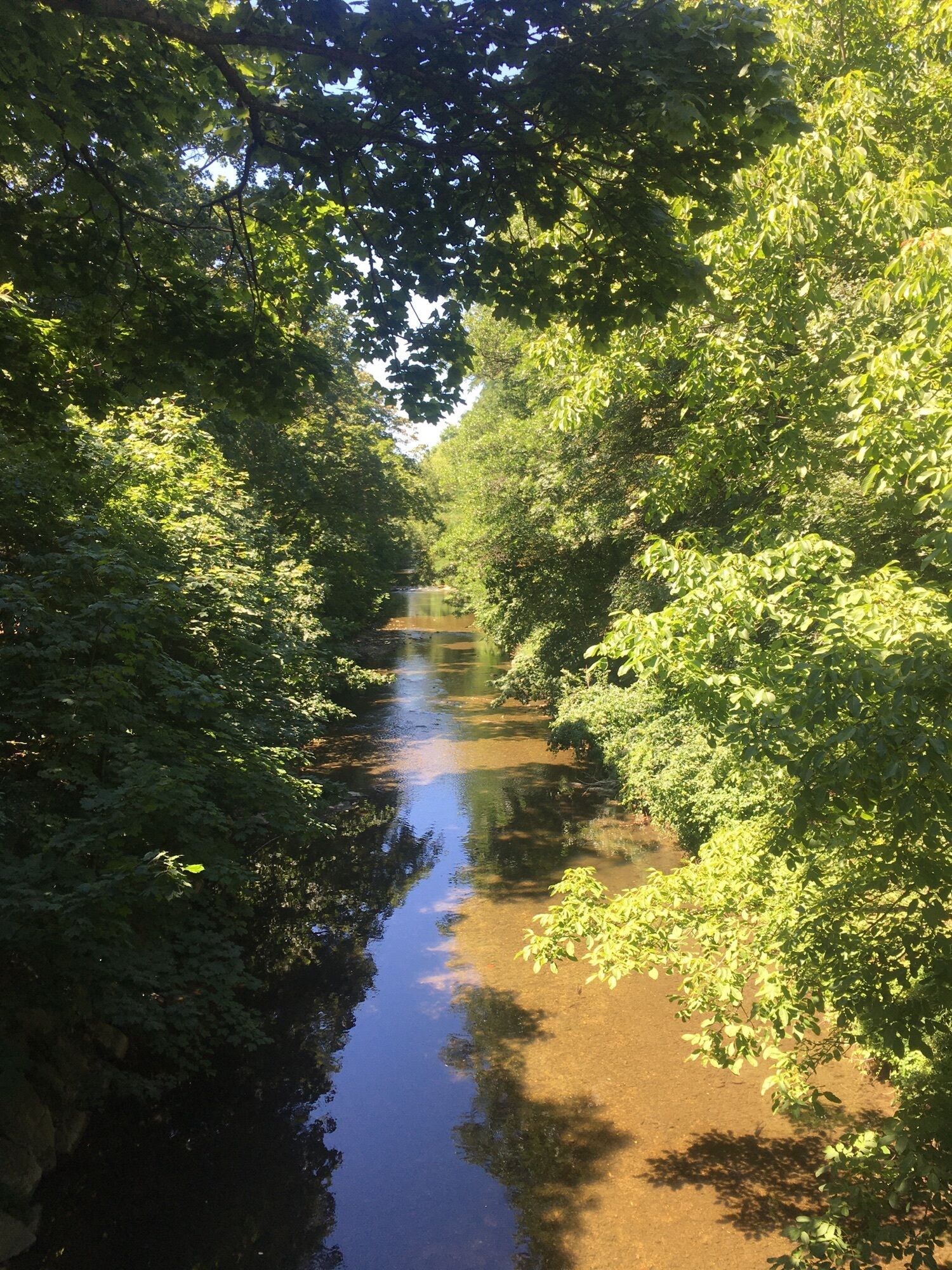
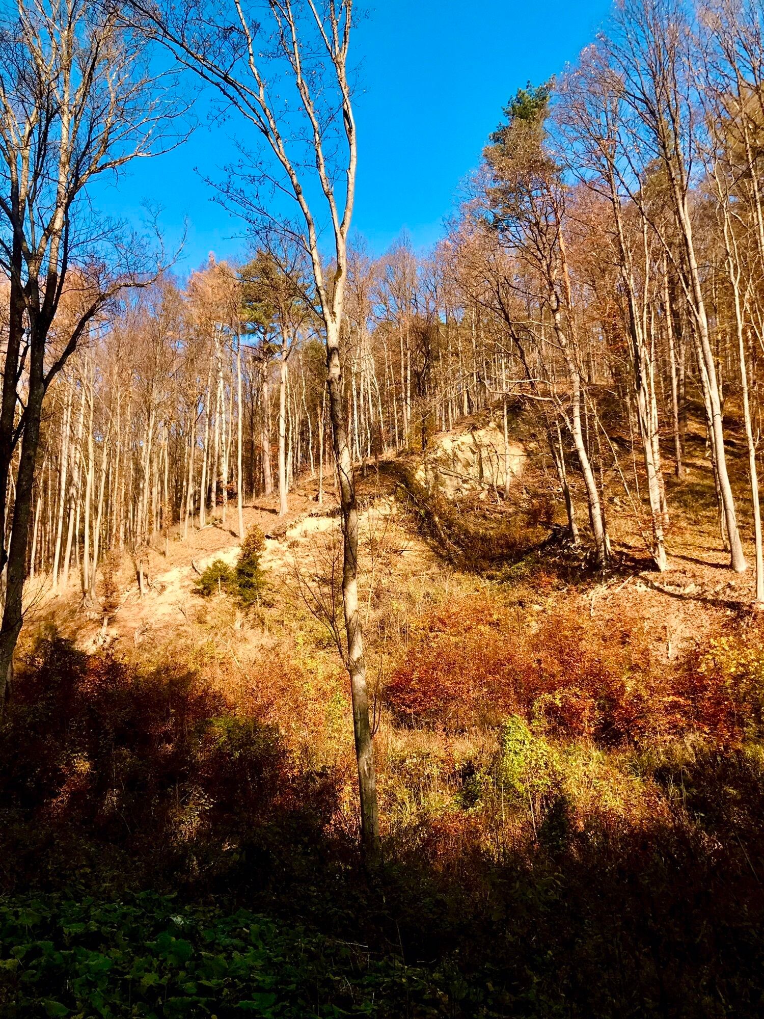
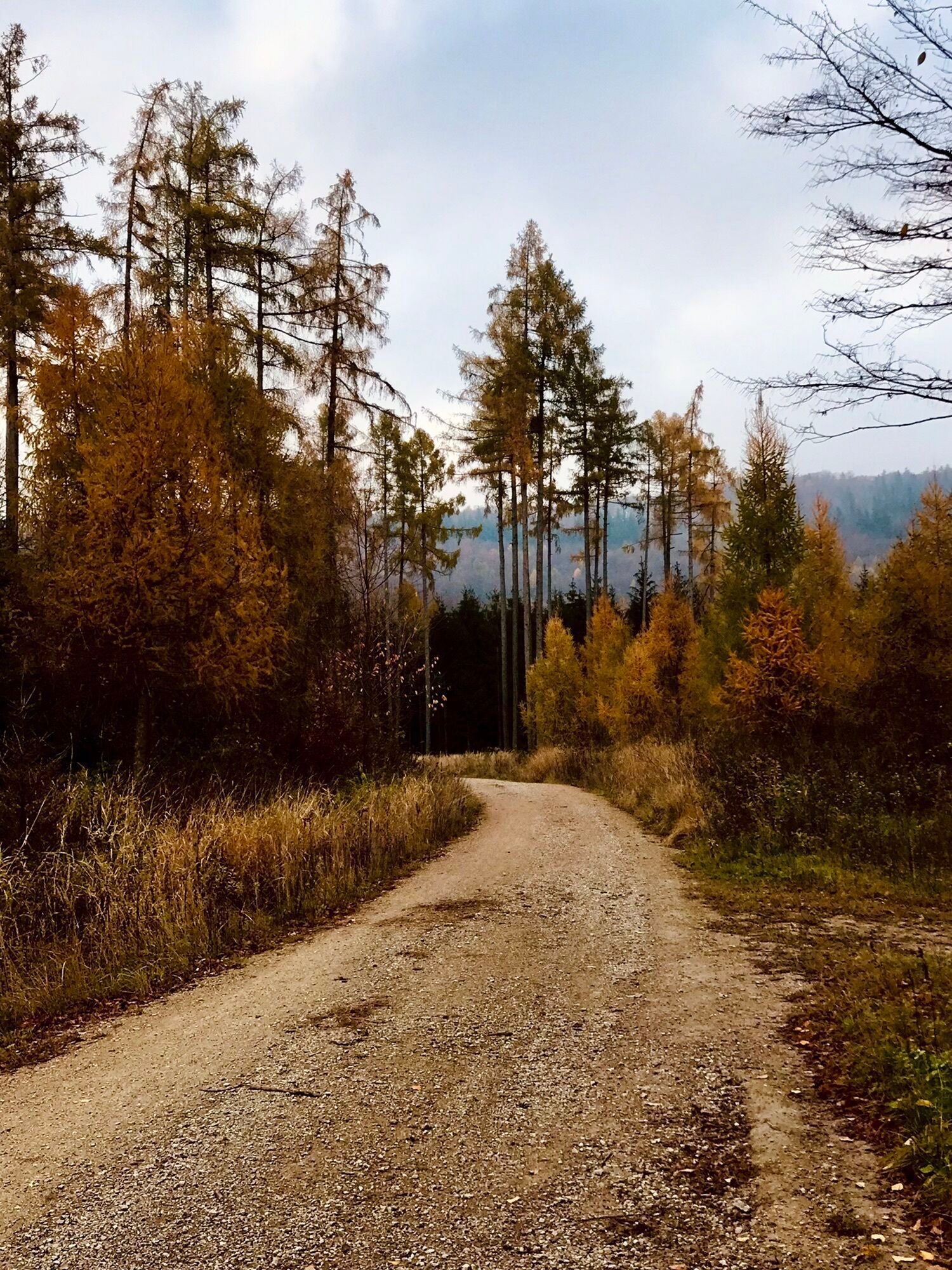
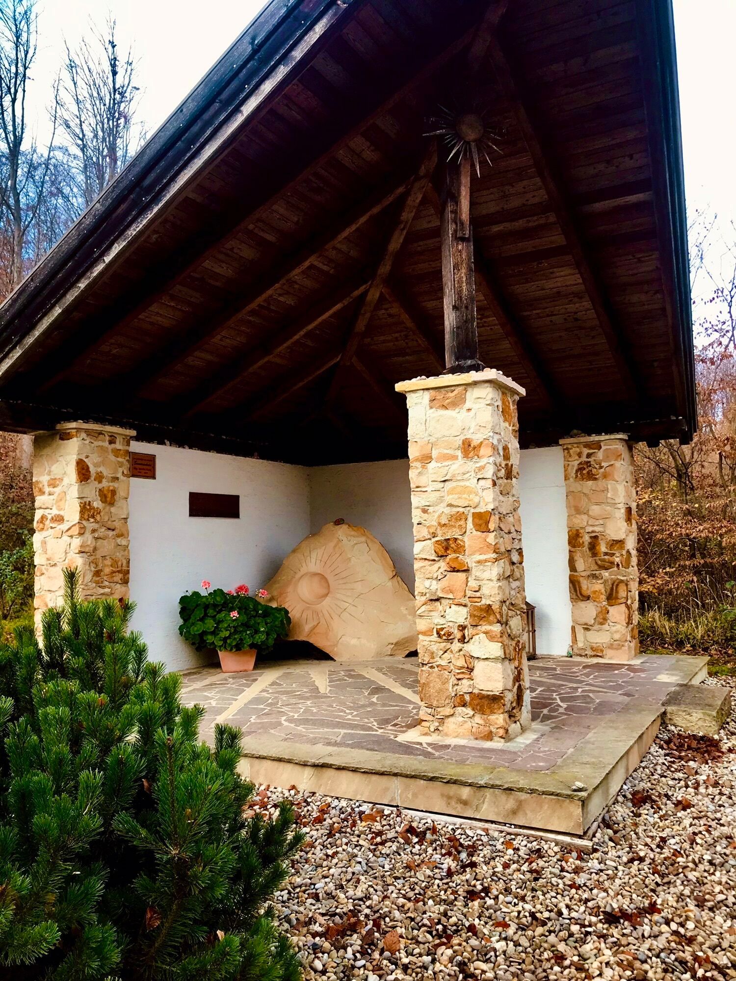
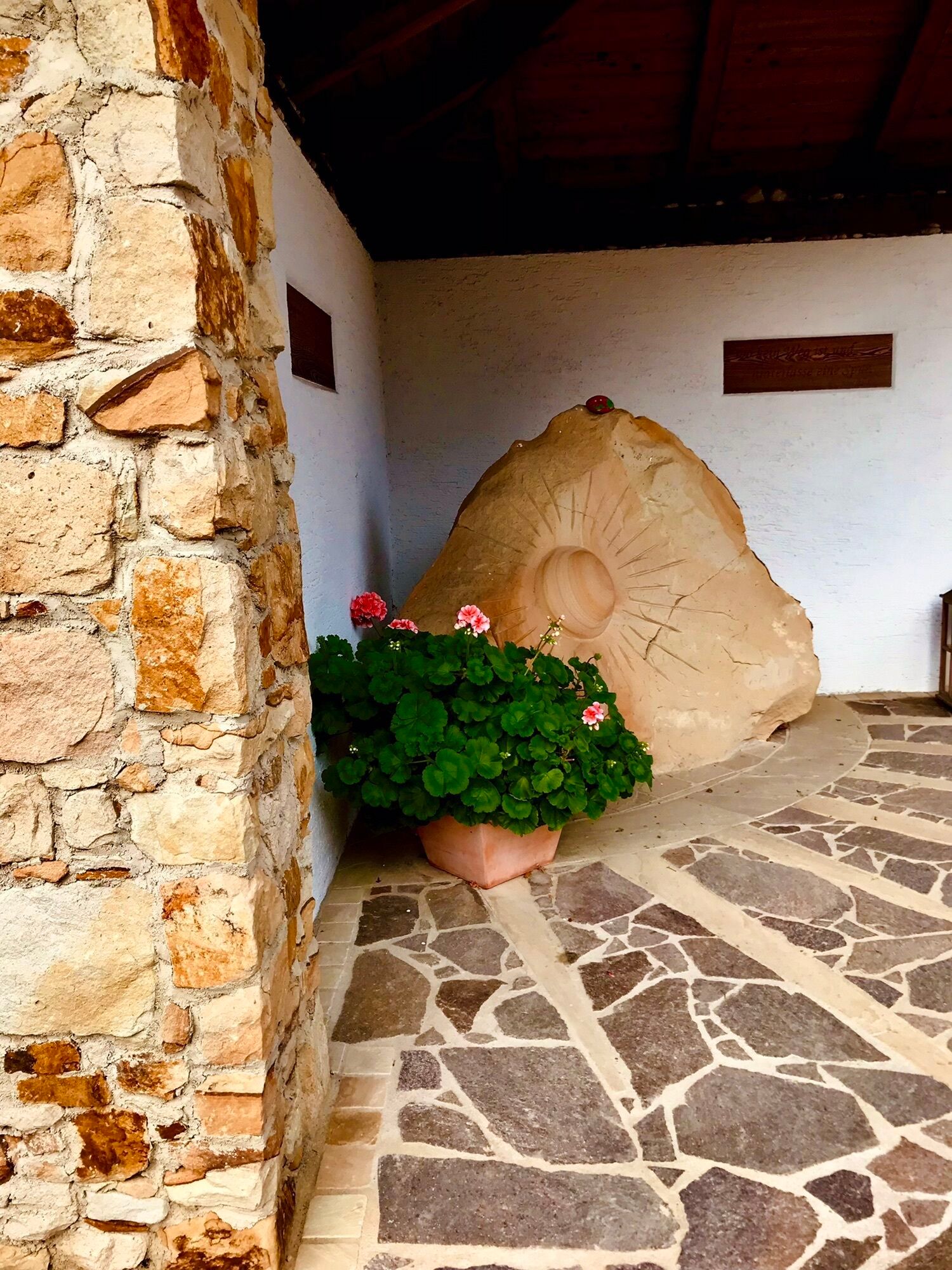

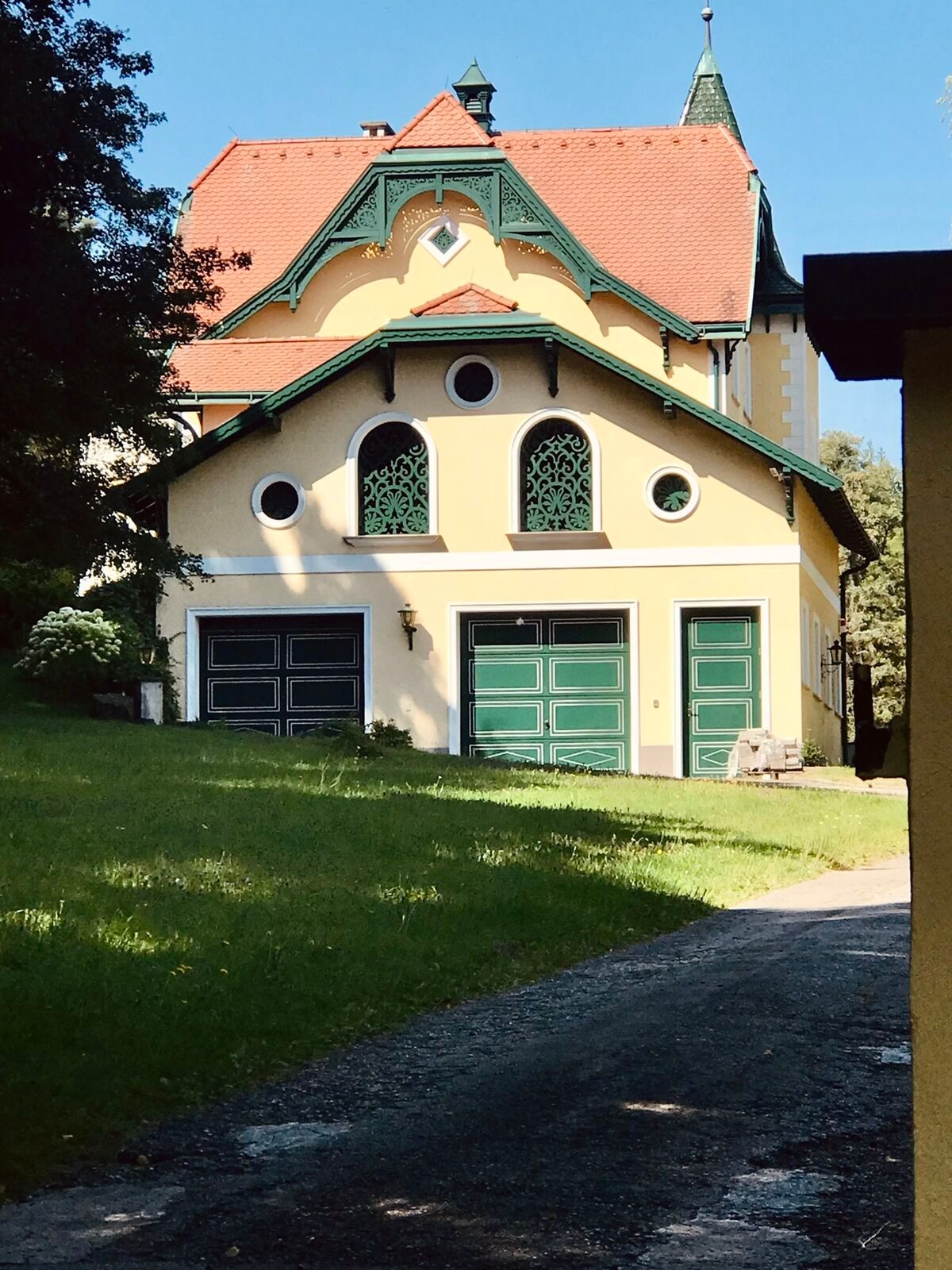
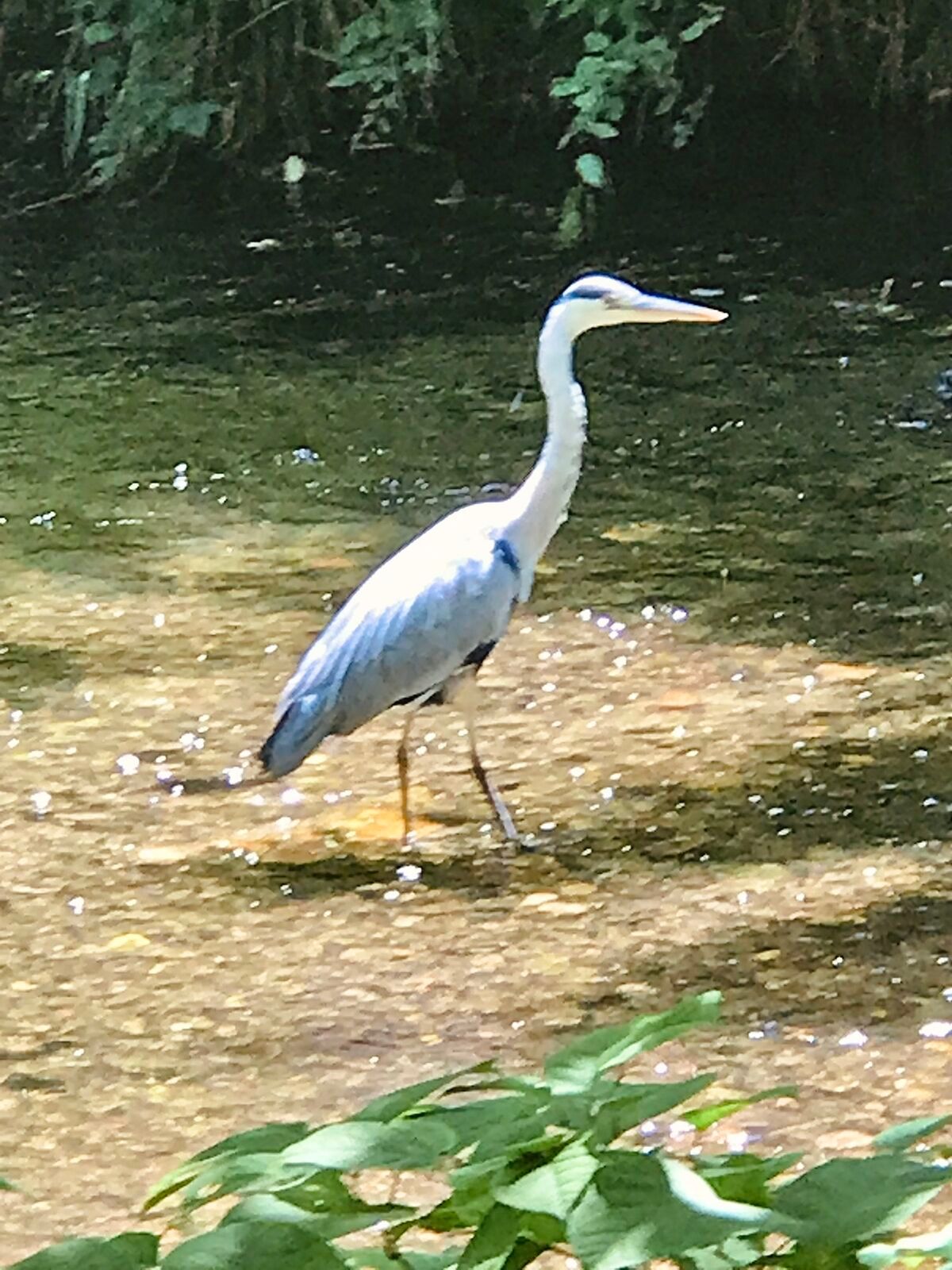
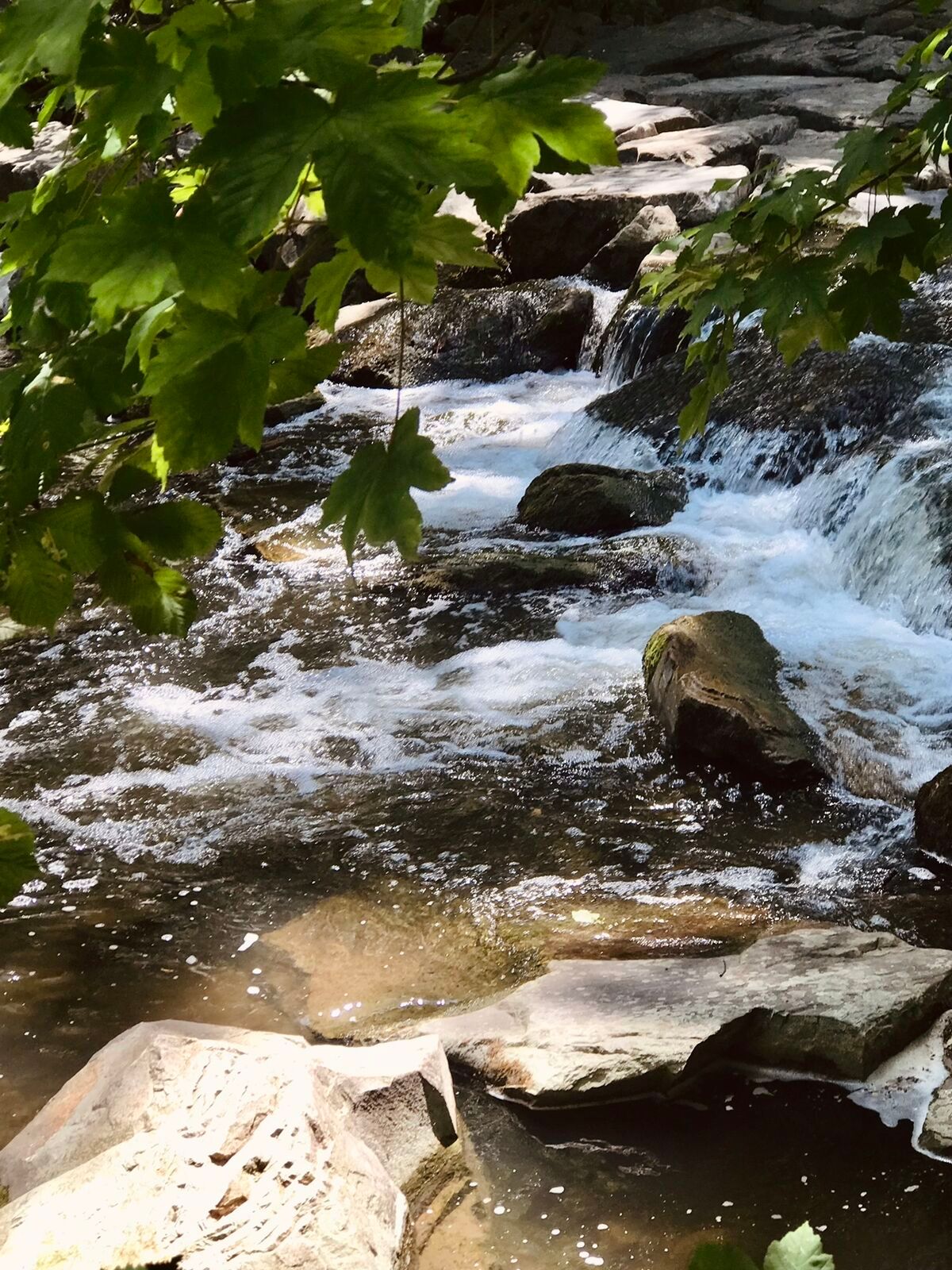
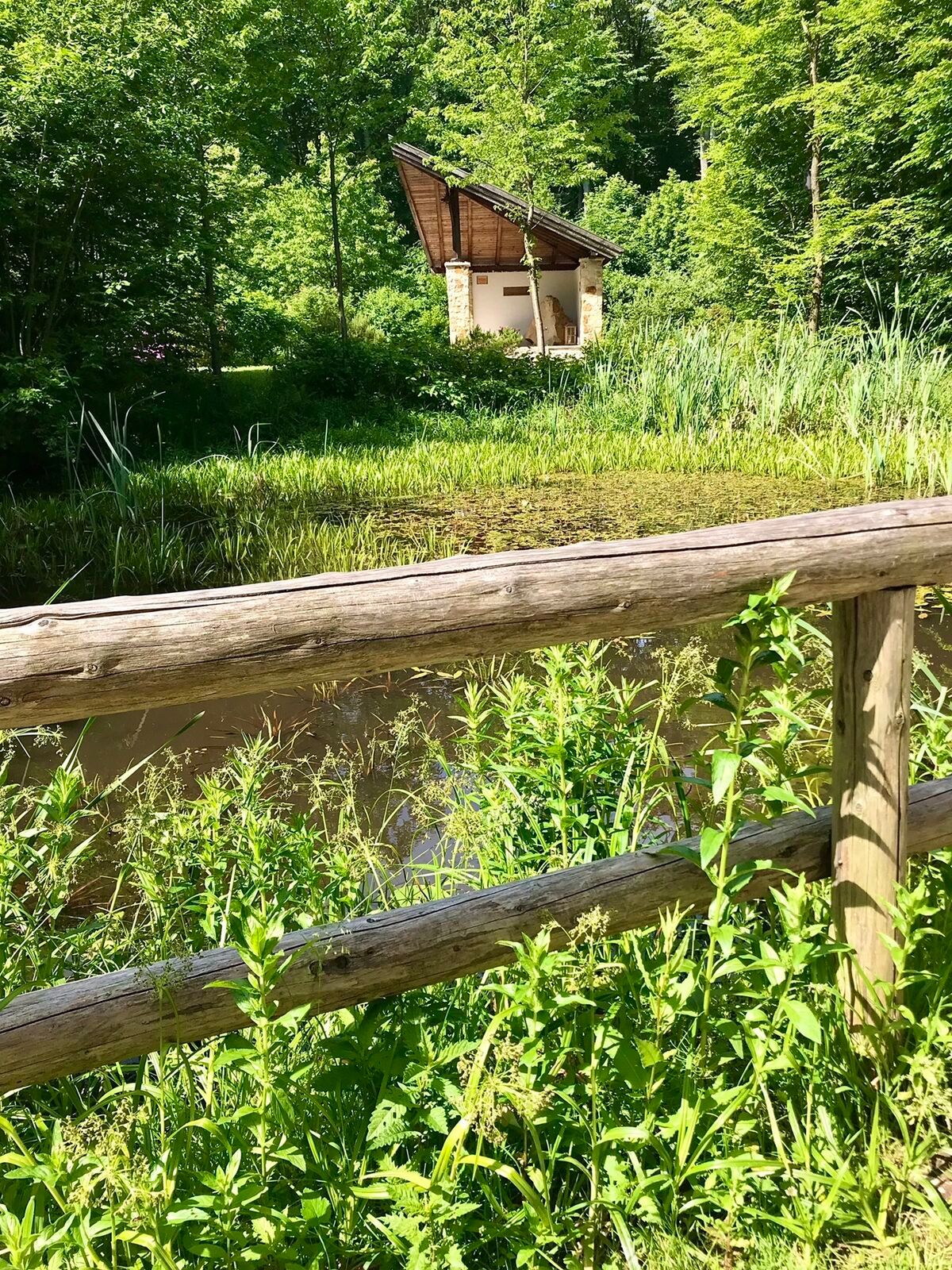
<p>Purkersdorf - Irenental - Pressbaum - Heimbautal - Purkersdorf</p>

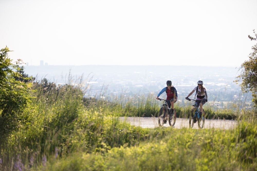
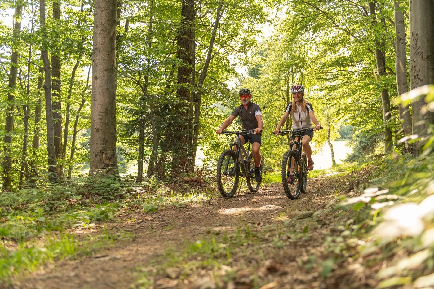

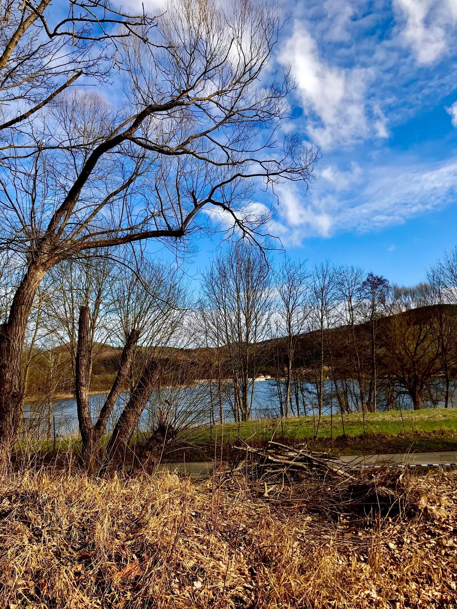
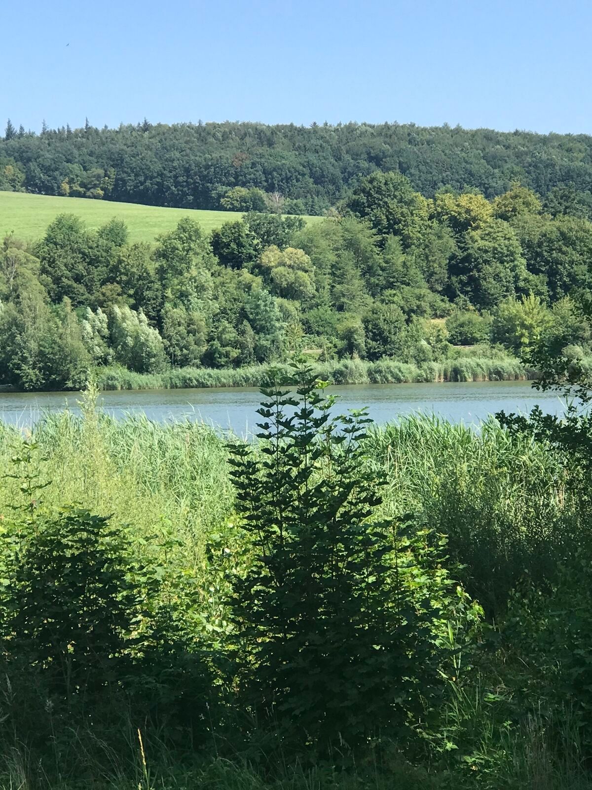
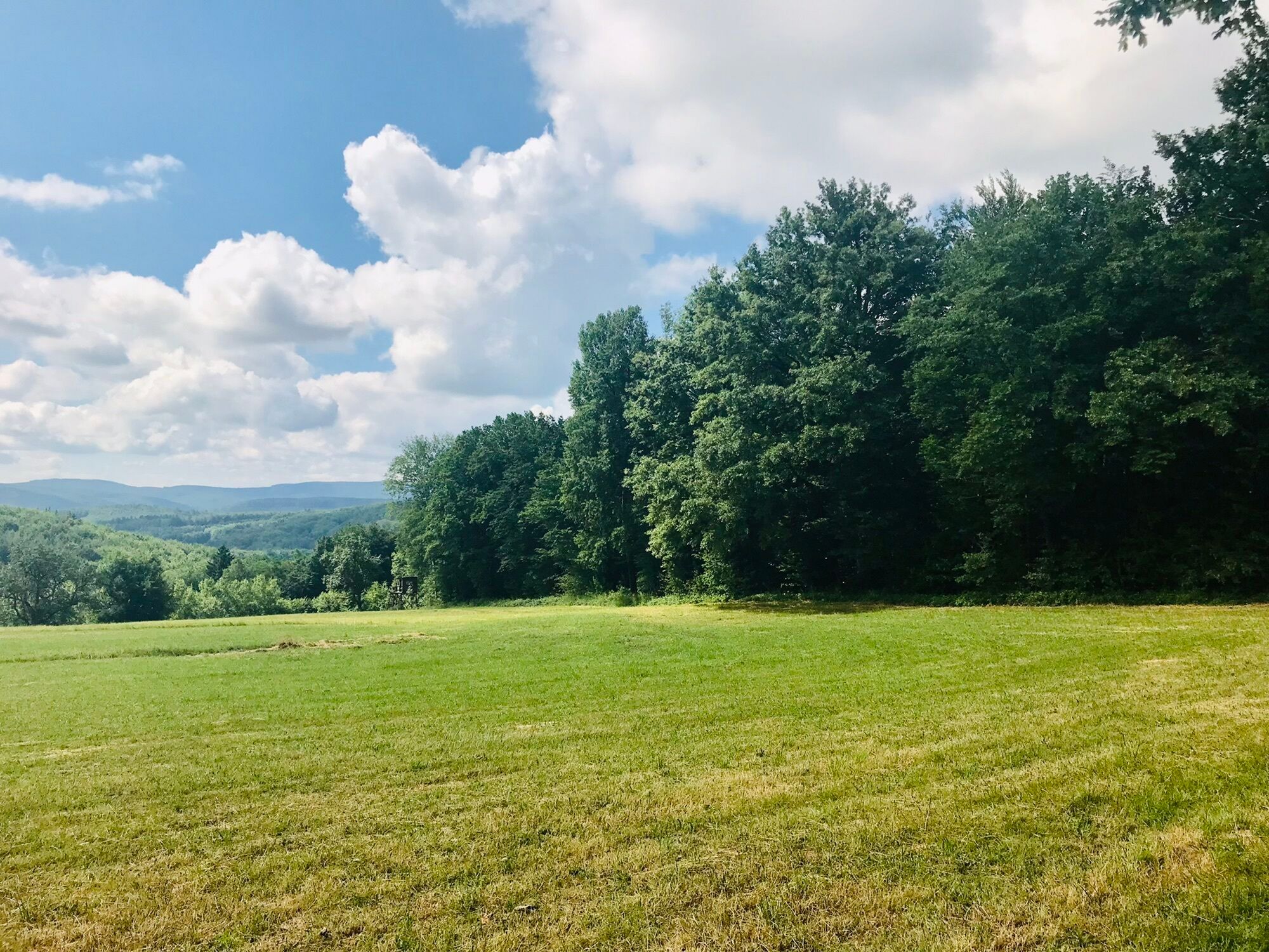
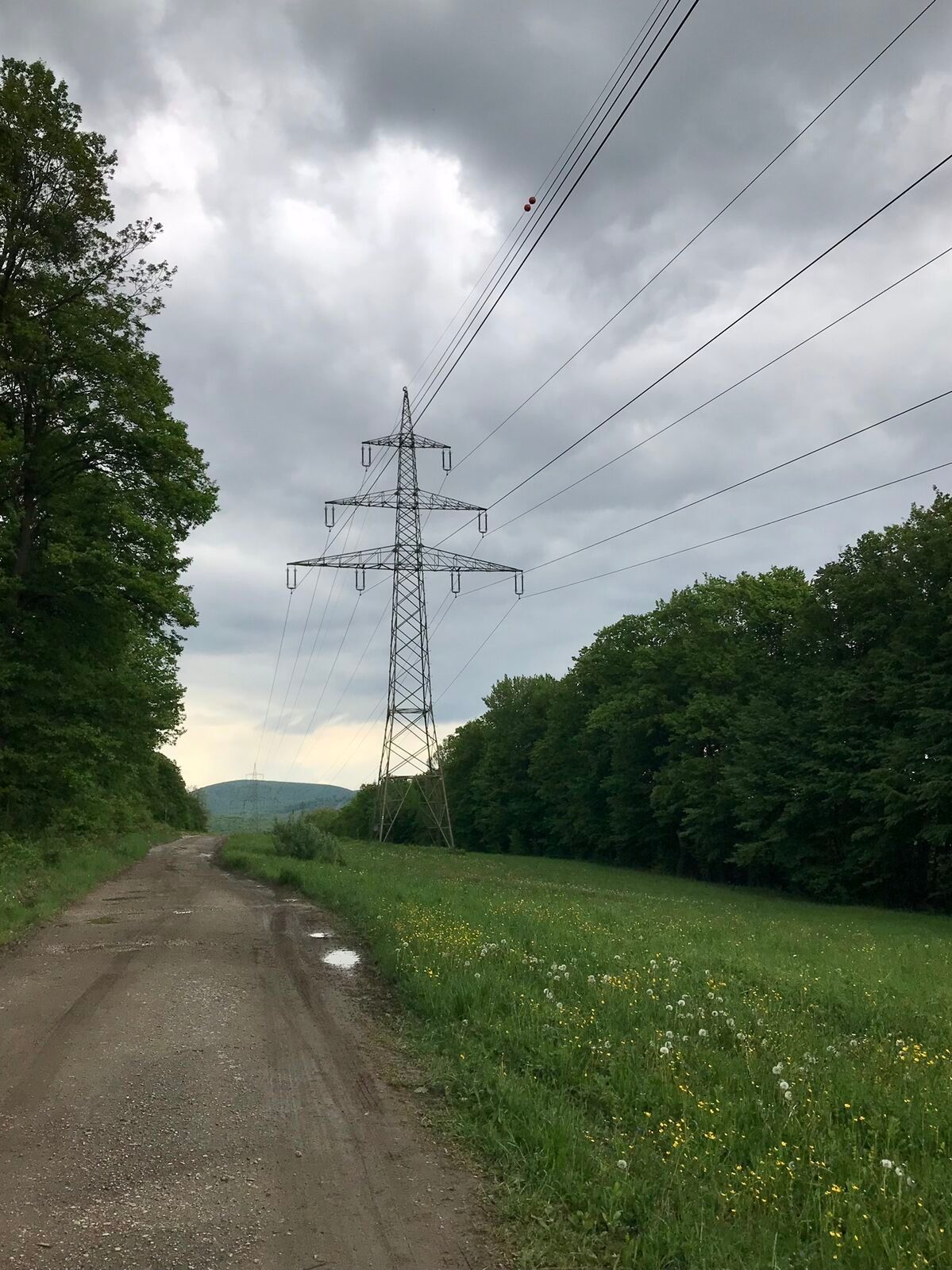
<p>In Purkersdorf, we follow the Troppberg I directions uphill along the Hüttenkogel to Tullnerbach. There we turn right onto the L2129 and after about 3 km turn right again into Heinratsberg Gasse and follow the path to Pressbaum. We cycle about 2 km on the B44, past Seestraße by Wienerwaldsee onto the B13 and continue on Liesingerstraße into the forest and past the Heimbautal settlement to Baunzen. Turning right onto Pernerdorferstr., we continue into the forest and turn left uphill to Weidlinggau. There we cross the Wien river and cycle along the river back to Purkersdorf.</p><p>Surface: Asphalt 48%, Gravel 52%</p>
<p>A safe and functional mountain bike is a prerequisite for all routes. Helmet and gloves protect against falls and can be supplemented with knee and elbow protectors on single/shared trails. A modern mountain bike with disc brakes and sufficient tire tread is recommended. For single and shared trails from the red difficulty level, a full suspension bike with modern geometry is recommended. Tools, tire levers, pump, and spare tube help in case of a breakdown. Enough provision (drinks and food) should be carried as well as a mobile phone and wind/rain jacket.</p>
<p>Before each ride, check the functionality of brakes, tires, and suspension fork/shock absorber. Always ride with hazard awareness and controlled speed and adapt the route choice to the group's skill level and the terrain. The <strong><a href="www.wienerwald.info/mountainbiker-fai... Play</a></strong> rules must always be observed. Single/shared trails as well as built routes in trail parks and trail centers often feature stones, roots, steep sections, steps, and sharp turns that require specific riding skills. If in doubt, dismount and push the bike.</p>
<p>From Vienna: B1 to Purkersdorf.</p><p>From the west: A1 and B1 to Purkersdorf.</p><p>From the south: A2 and A23 to Altmannsdorfer Straße, at Linke Wienzeile onto B1, B1 to Purkersdorf.</p>
<p>By train to Purkersdorf near Vienna center<br />By bus to Purkersdorf Kellerwiese P+R</p>
<p>Purkersdorf P+R</p>
The elevation figures for this route were calculated based on the A-MAP. Due to different map bases from routing/navigation apps and devices, slight variations in data are unavoidable. More information can be found in the following blog post!
Wienerwald Tourism GmbH
Hauptplatz 11, 3002 Purkersdorf
Tel.: 02231 621 76
Email: office@wienerwald.info
Website: www.wienerwald.info
Information on possible excursion destinations:
PressbaumPurkersdorfWolfsgrabenTullnerbachDining options:
Cafe CorsoBogners LivingroomVinowaldWirtshaus OliverMirliHotel Restaurant StockingerZur alten LindeUpdated on: 28.02.2022


Priljubljeni izleti v okolici
-
4.8
Königstetten-Figlwarte-Hainbuch-Königstetten
srednjaPohodništvo 9.30 km -
4.7
Naturpark Sparbach
svetlobaPohodništvo 7.08 km -
4.6
Abend/Nachtwanderung Teufelstein
svetlobaPohodništvo 7.15 km -
4.6
Stadtwanderweg 6 / Zugberg - Maurer Wald (lt. Beschilderung)
svetlobaPohodništvo 13.3 km -
4.6
Stadtwanderweg 4
svetlobaPohodništvo 8.48 km -
4.6
Rundwanderung Gablitz Gemeindeamt - Troppberg - Rabenstein - Gablitz Gemeindeamt
svetlobaPohodništvo 12 km -
4.2
Stadtwanderweg 8 - Sophienalpe (lt. Beschilderung)
svetlobaPohodništvo 9.31 km -
4.5
von Purkersdorf zur Rudolfshöhe
svetlobaPohodništvo 4.72 km -
4.3
Rund um die Kartause Mauerbach - Angelos wohininundumwien.at
svetlobaPohodništvo 4.90 km -
4.5
Steinbruchsee
svetlobaPohodništvo 8.07 km
Pohodništvo in sledenje


Ne zamudite ponudb in navdiha za naslednje počitnice
Vaš e-poštni naslov je bil dodan na poštni seznam.





