






Dambach route
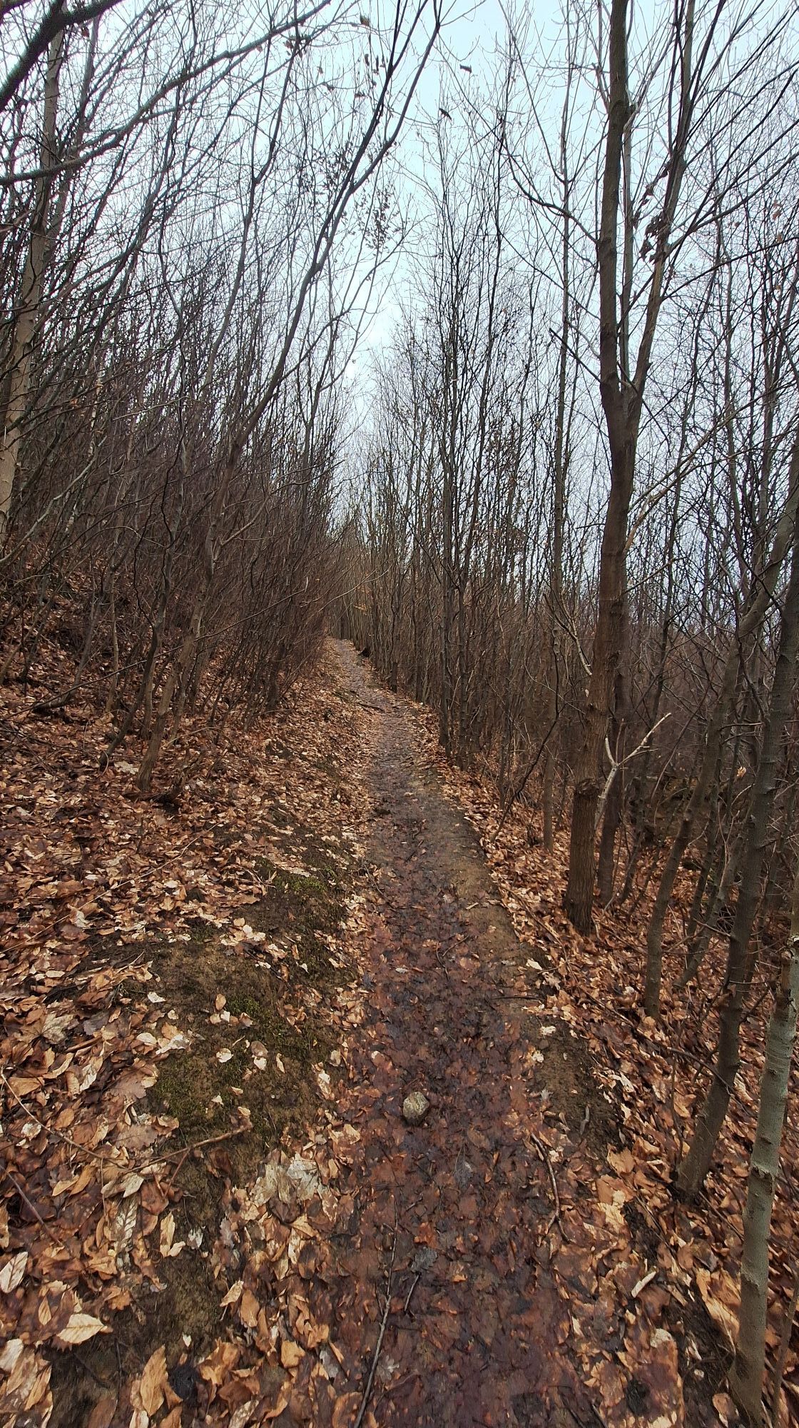
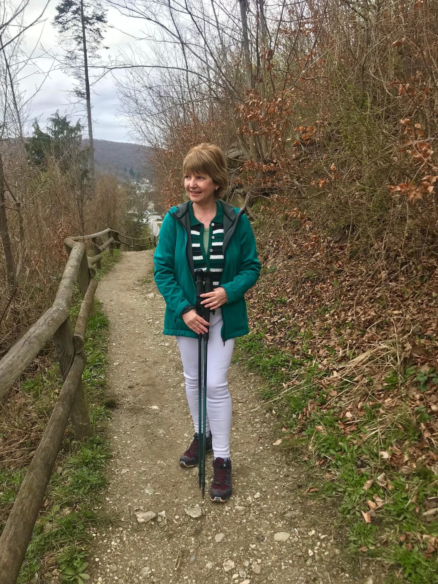
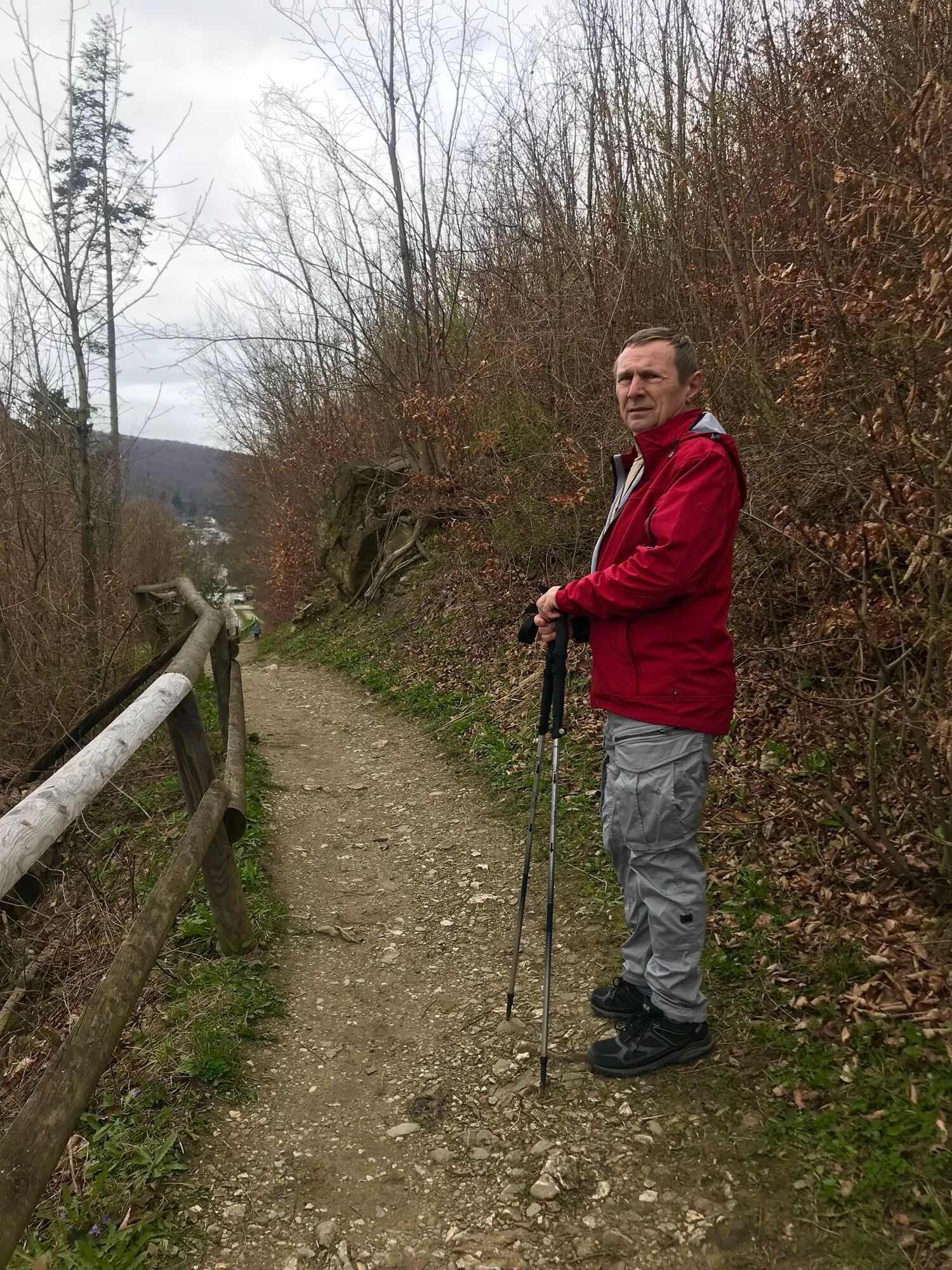
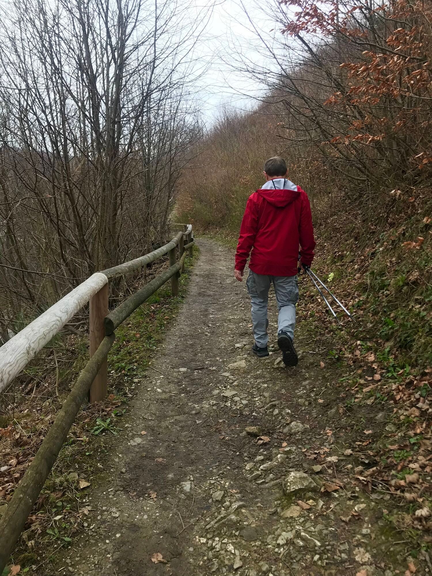
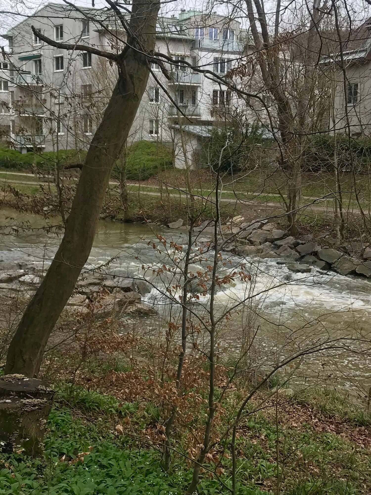
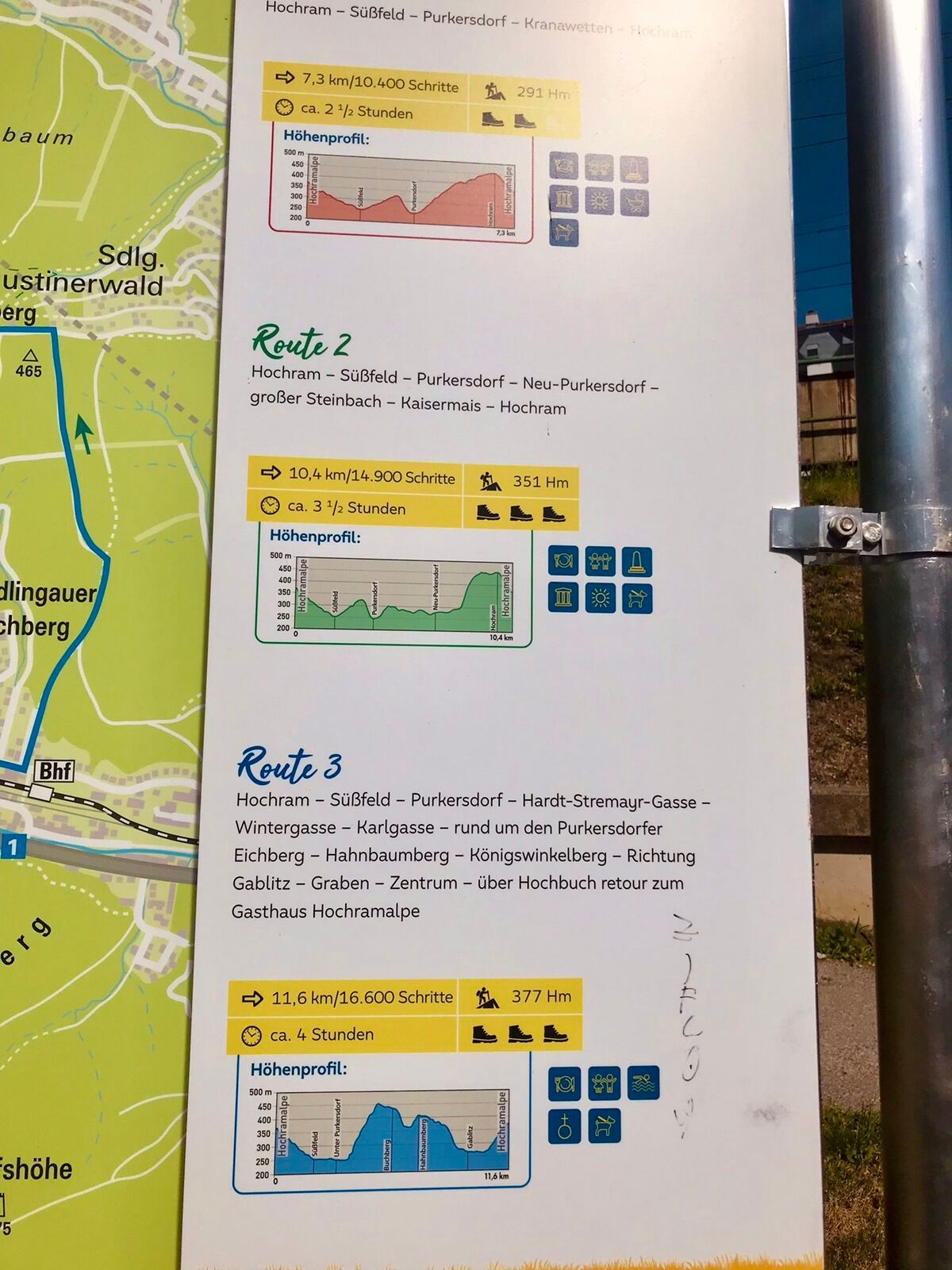
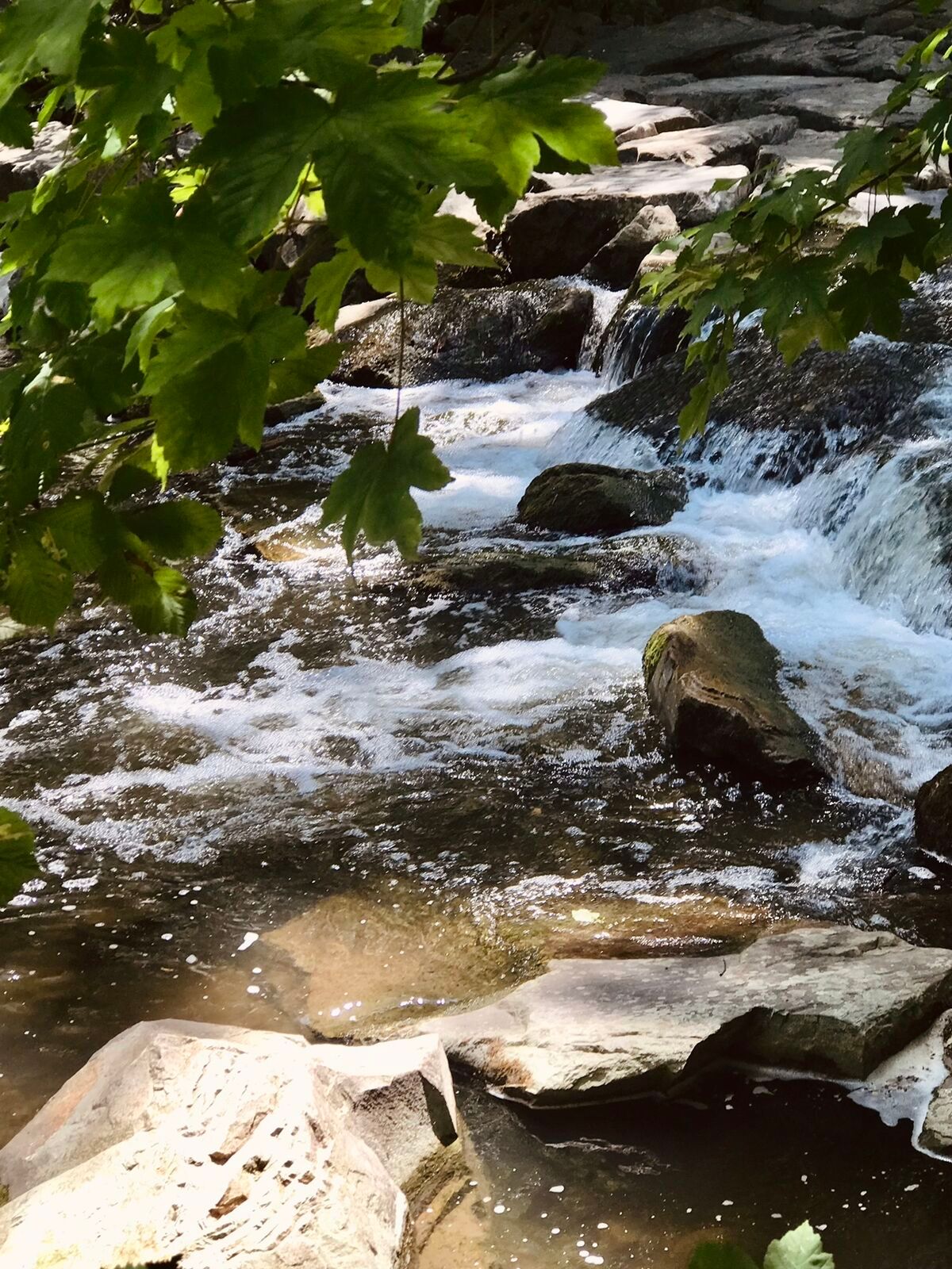
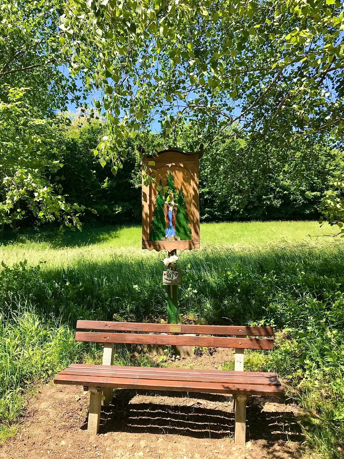
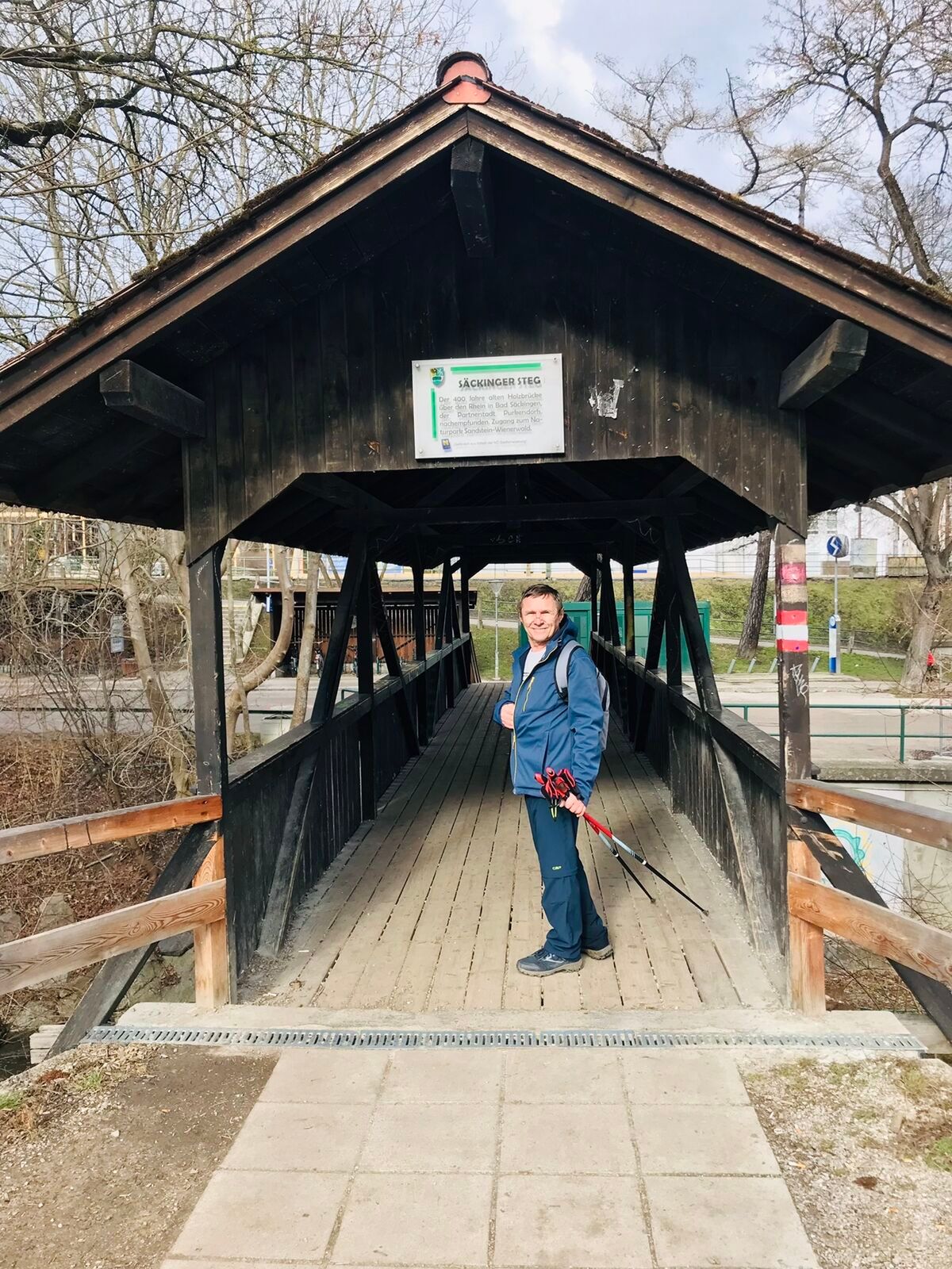
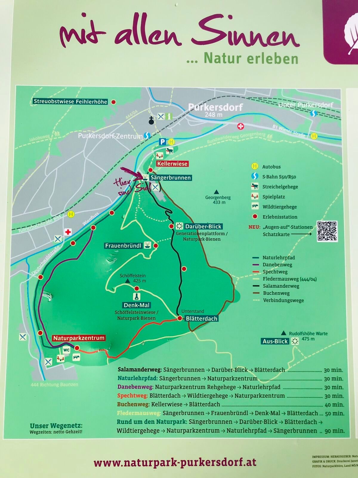
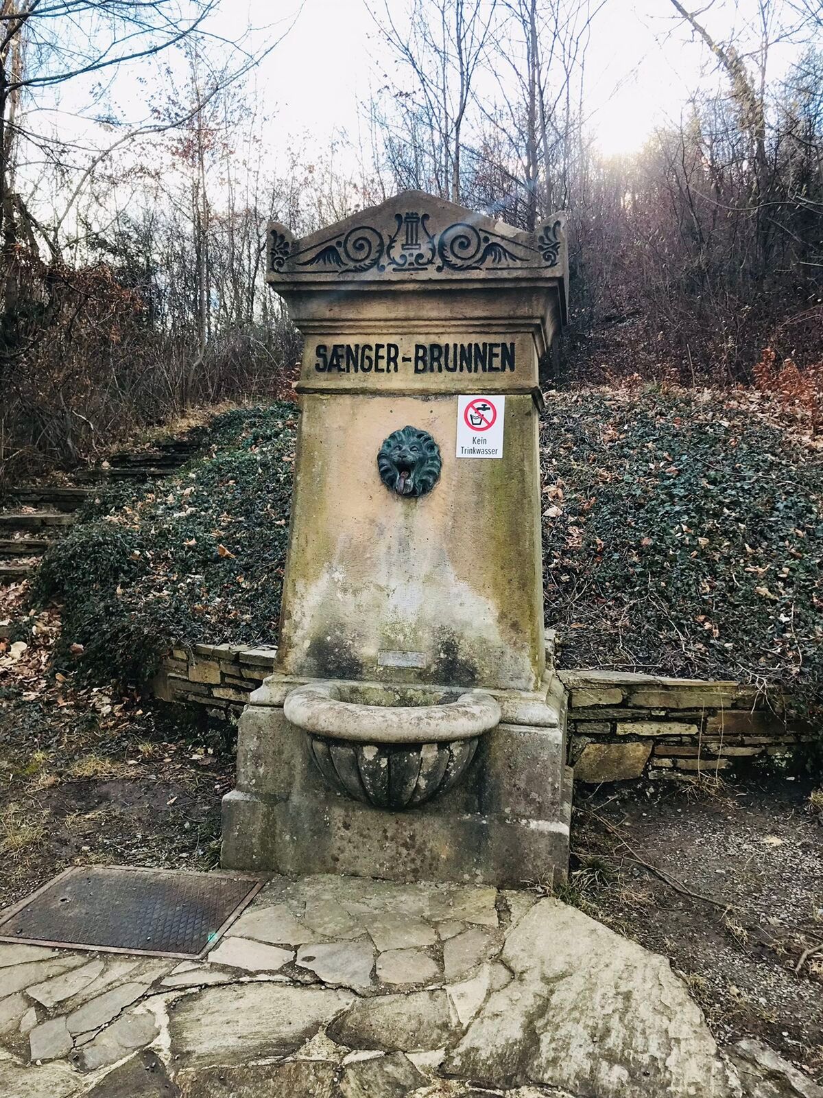
The Dambach route is a family-friendly mountain bike loop in the Wienerwald with a length of 11.4 kilometers and 145 meters of elevation gain. A special highlight is the possibility to combine the route...
<p>The Dambach route is a family-friendly mountain bike loop in the Wienerwald with a length of 11.4 kilometers and 145 meters of elevation gain. A special highlight is the possibility to combine the route with a hike to the Feuerstein in the Deutschwald and a visit to the Purkersdorf-Sandstein Nature Park, where encounters with deer and wild boars are possible.</p>

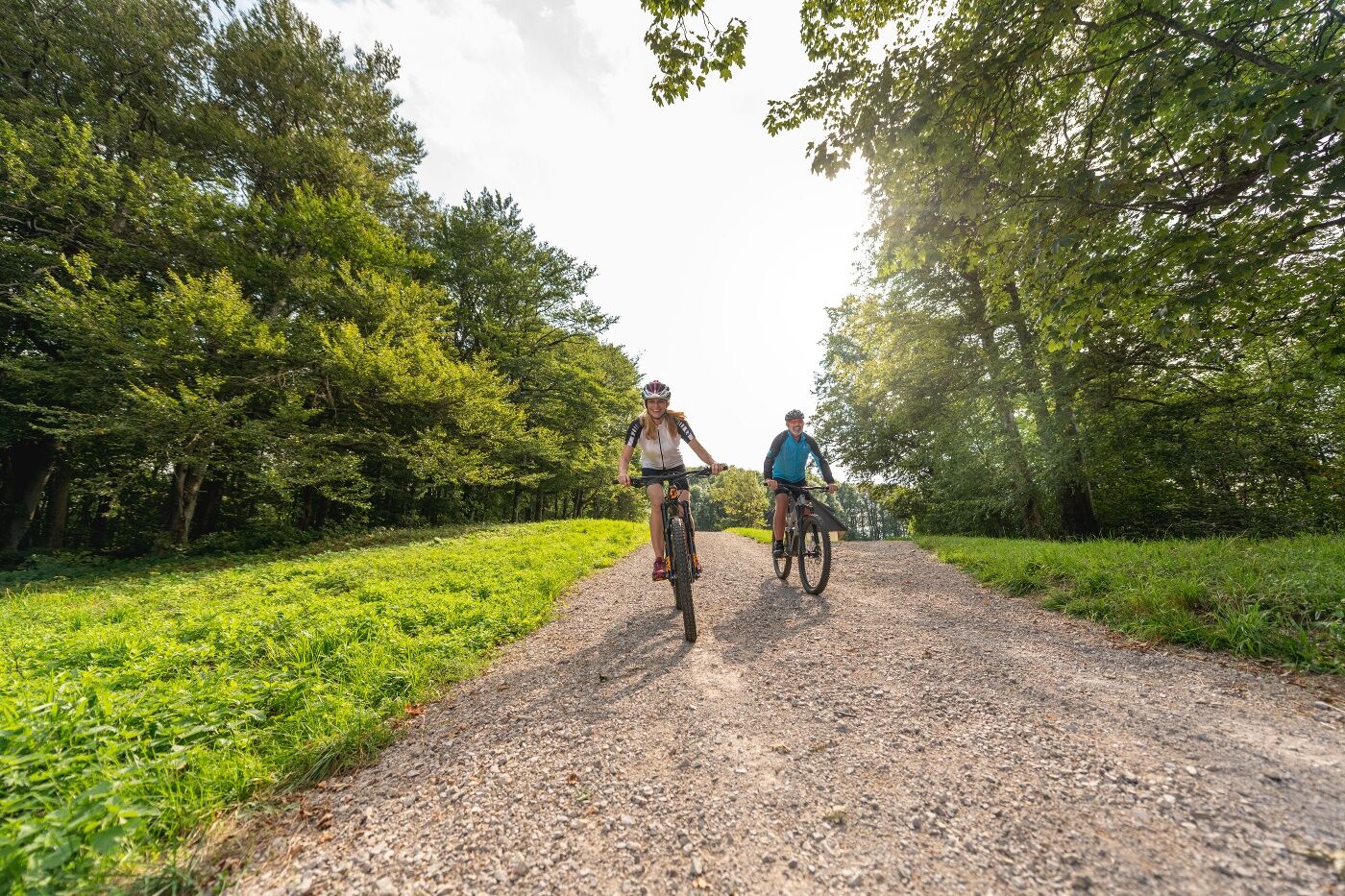

<p>After starting in Purkersdorf at the P+R facility, we ride along the Wien River heading west. Turn left into Kaiser Josef Street and continue to Deutschwald Street, on and beside which we cycle to Baunzen. Following Garten and Dambach Streets, it goes through a forest area back to Neu Purkersdorf. At Josef-Zurek-Weg, we cross the B44 and then ride right alongside the railway back to Purkersdorf.</p><p>Surface: Asphalt 30%, Gravel 48%, Forest/Meadow 22%</p>
<p>A safe and reliable mountain bike is a prerequisite for all routes. Helmet and gloves protect in case of falls and can be extended by knee and elbow guards on single/shared trails. A modern mountain bike with disc brakes and sufficient tire tread is recommended. For single and shared trails from the red difficulty level, a full suspension bike with modern geometry is recommended. Tools, tire levers, pump, and spare tube help in case of a breakdown. Sufficient supplies (drinks and food) should also be carried along with a phone and wind/rain jacket.</p>
<p>Before each ride, check the functionality of brakes, tires, and suspension fork/shock absorber. Always ride with hazard awareness and controlled speed, adapting the route choice to the riding ability of the group and the surface. The <strong><a href="www.wienerwald.info/mountainbiker-fai... Play</a></strong> rules must always be observed. Single/shared trails as well as constructed trails in trail parks and trail centers often have stones, roots, steep sections, steps, and sharp turns that require certain riding skills. When in doubt, simply dismount and push the bike.</p>
<p>From Vienna on the B1 to Purkersdorf<br /><br /></p>
<p>Purkersdorf station near Vienna center</p>
<p>Parking facility in Purkersdorf at the P+R</p>
The elevation data for this route was calculated based on A-MAP. Due to different map bases of routing/navigation apps and devices, slight variations are unavoidable. More information can be found in the following blog post!
Wienerwald Tourism Ltd.
Main Square 11, 3002 Purkersdorf
Tel. +43/2231/621 76
E-mail: office@wienerwald.info
Website: www.wienerwald.info
Information on possible excursion destinations:
PurkersdorfDining options:
Landgasthof Pension SommerZur Alten LindeUpdated on: 28.02.2022

Priljubljeni izleti v okolici
-
4.9
Stadtwanderweg #2, Hermannskogel, Top of Vienna 😆
svetlobaPohodništvo 11.1 km -
4.8
Kalenderberg und Burg Liechtenstein
svetlobaPohodništvo 8.48 km -
4.7
Königstetten-Figlwarte-Hainbuch-Königstetten
srednjaPohodništvo 9.30 km -
4.6
Abend/Nachtwanderung Teufelstein
svetlobaPohodništvo 7.15 km -
4.6
Naturpark Sparbach
svetlobaPohodništvo 7.08 km -
4.6
Stadtwanderweg 6 / Zugberg - Maurer Wald (lt. Beschilderung)
svetlobaPohodništvo 13.3 km -
4.6
Landschaftspark Liechtenstein - Angelos Touren
svetlobaPohodništvo 6.70 km -
4.6
Stadtwanderweg 4
svetlobaPohodništvo 8.48 km -
4.6
Rundwanderung Gablitz Gemeindeamt - Troppberg - Rabenstein - Gablitz Gemeindeamt
svetlobaPohodništvo 12 km -
4.5
Stadtwanderweg 3, Hameau (lt. Beschilderung)
svetlobaPohodništvo 9.78 km
Pohodništvo in sledenje


Ne zamudite ponudb in navdiha za naslednje počitnice
Vaš e-poštni naslov je bil dodan na poštni seznam.





