


Sagenstein route

Starting from the historic town center of Wilhelmsburg or from the leisure center with swimming pool, miniature golf course, etc., this tour takes us into the Kreisbach valley. At Kreisbach Castle, we...
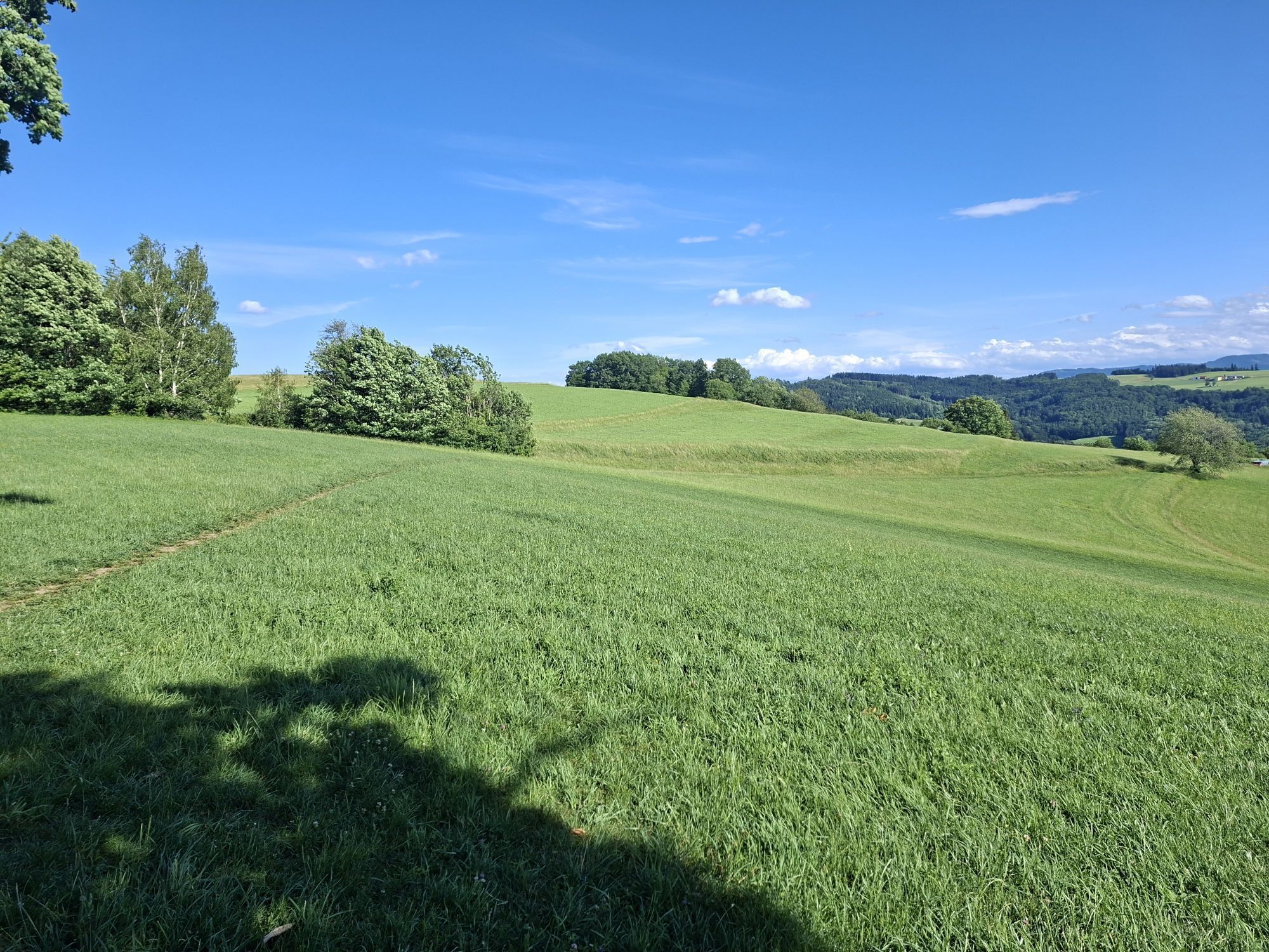
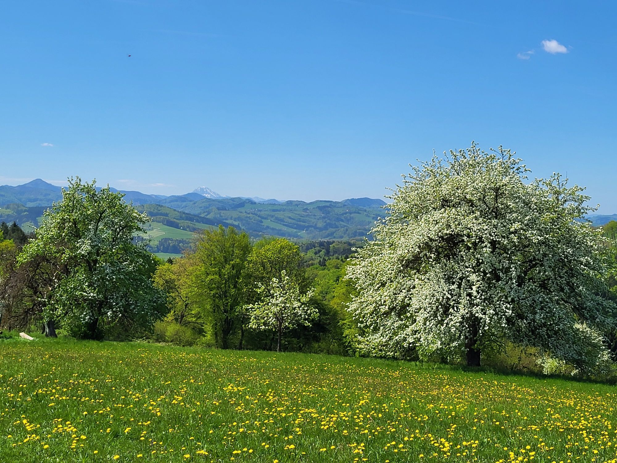
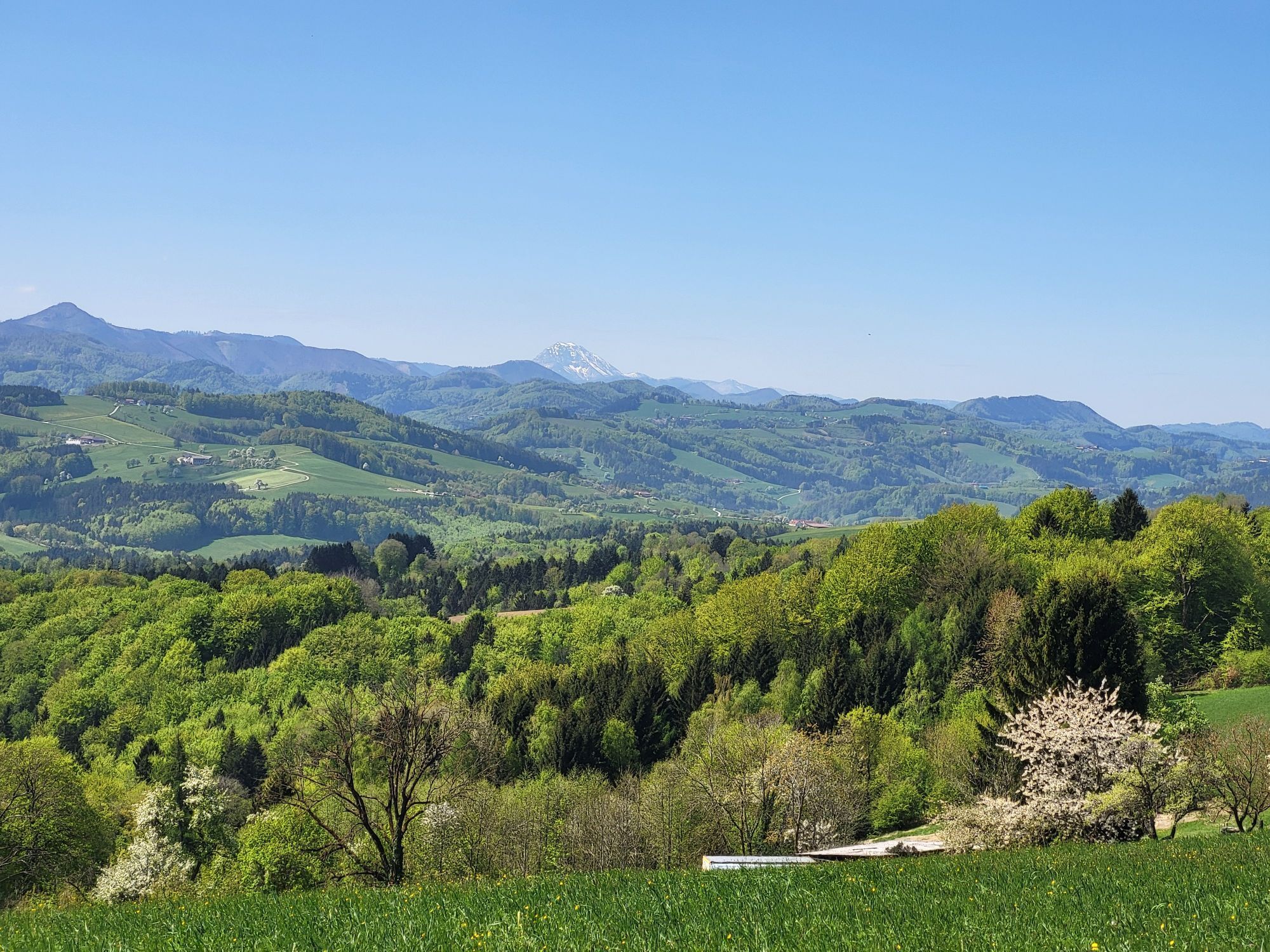
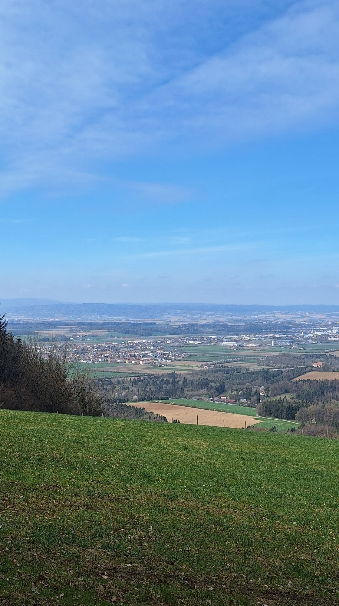
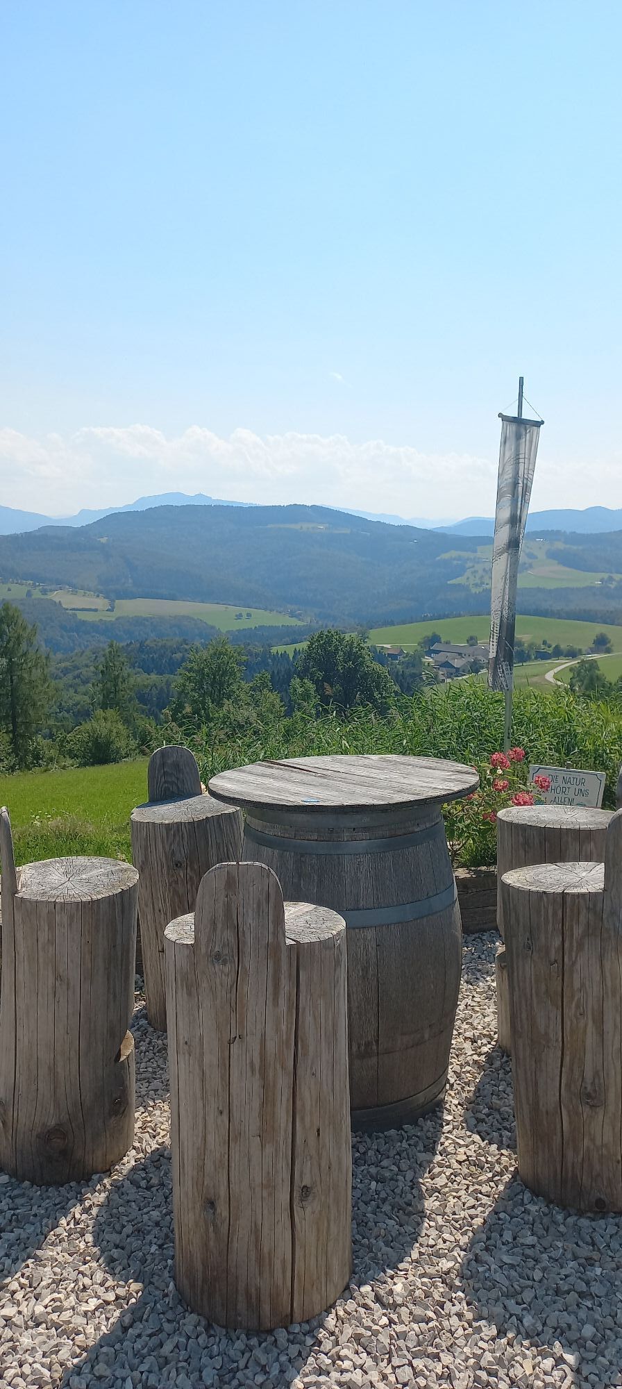
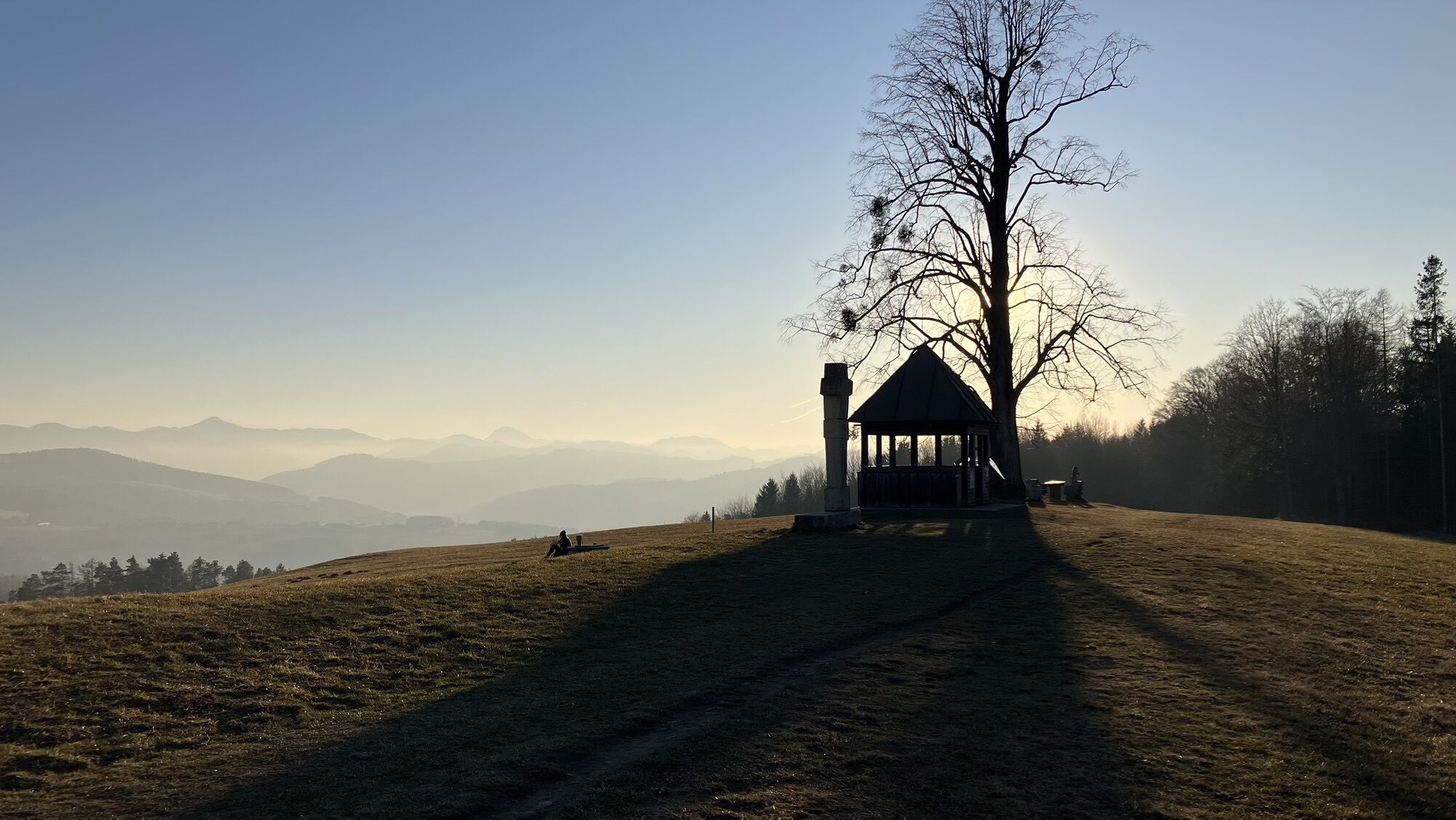
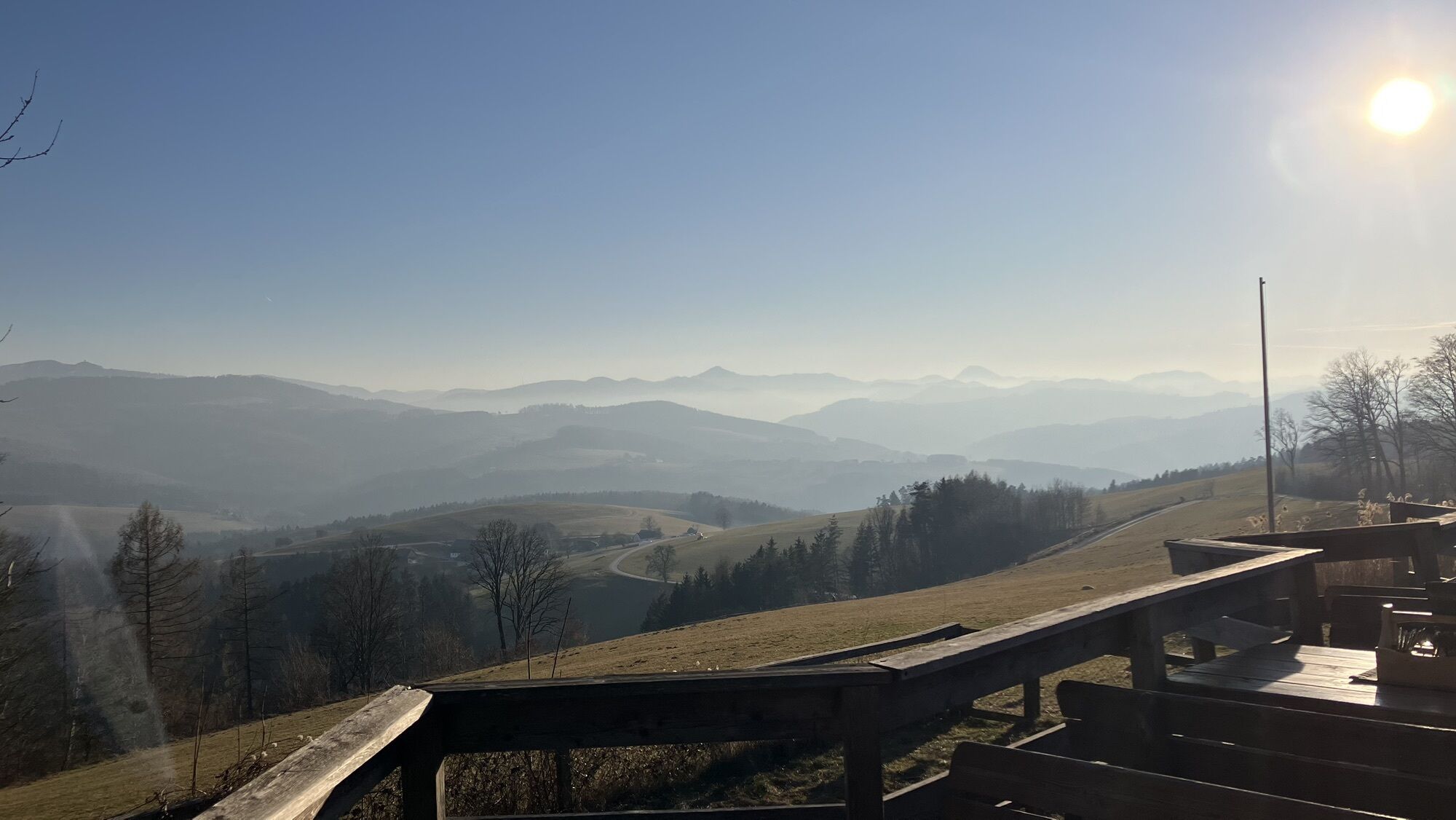
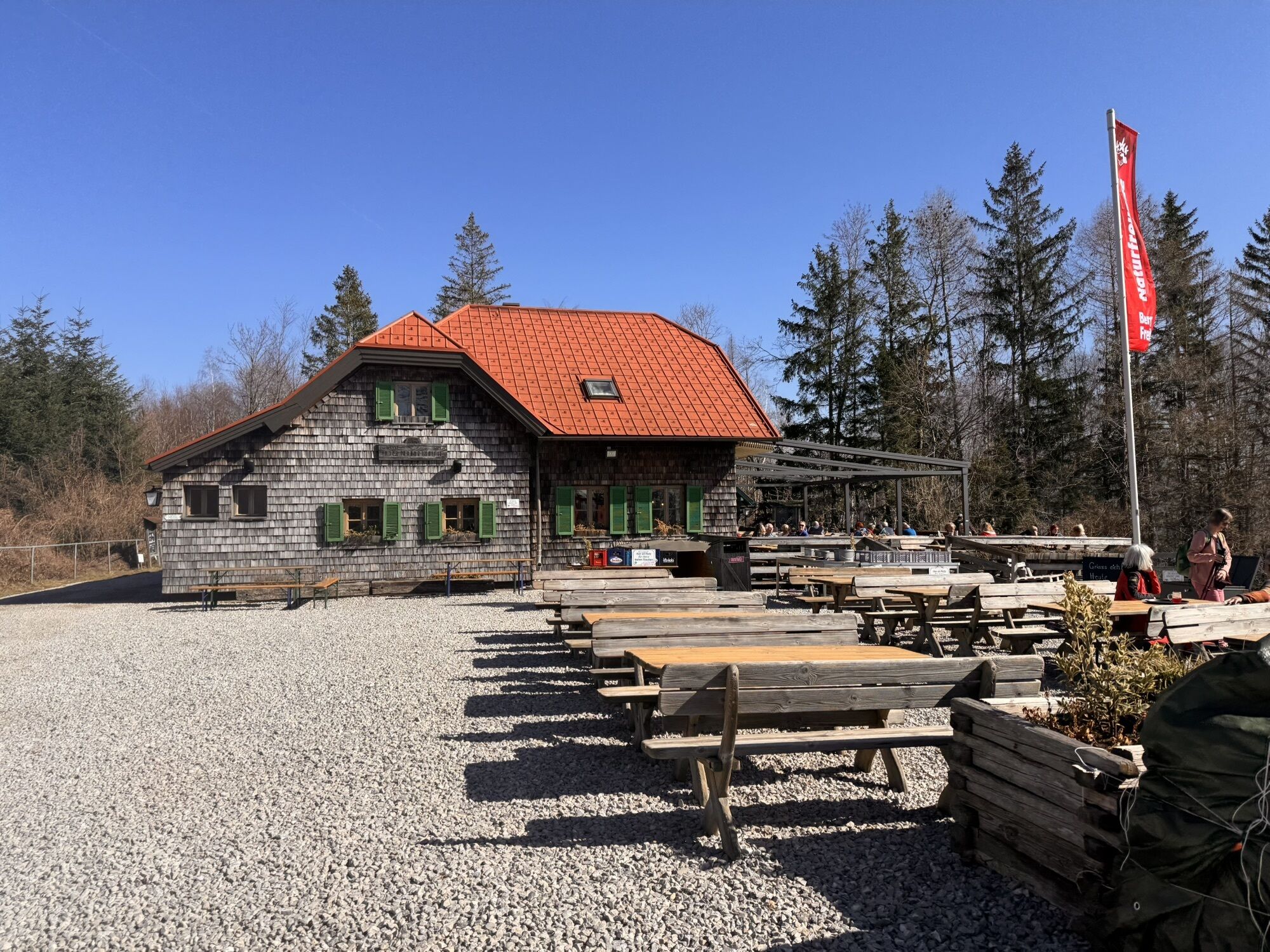
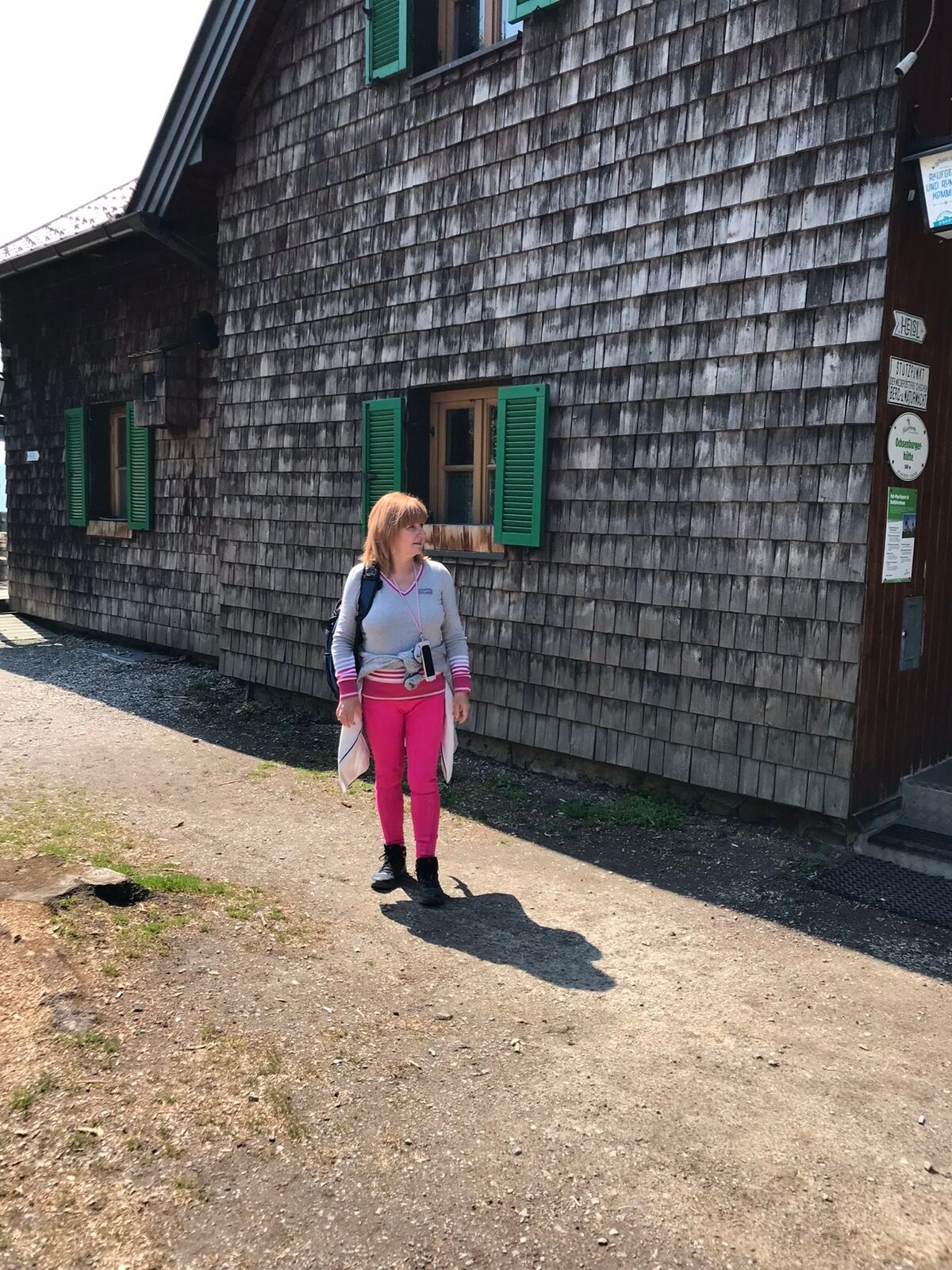
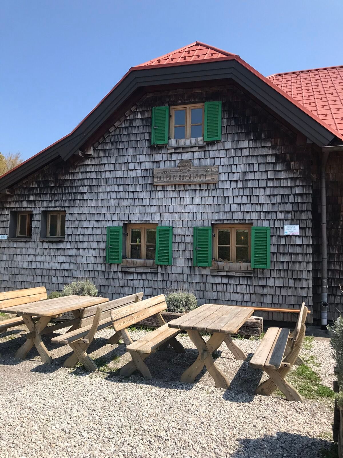
Starting from the historic town center of Wilhelmsburg or from the leisure center with swimming pool, miniature golf course, etc., this tour takes us into the Kreisbach valley. At Kreisbach Castle, we can visit the fully preserved and restored Anna Chapel as well as a portal room with a ribbed vaulted hall and a historic granary. The castle park was set up as a lacHort and provides the backdrop for wedding celebrations. The tour continues past an antiques center and riding stables over the Geisriegel up to the Draxelhofer Höhe, where the first views of the Alpine foothills and the Ötscher open up. We then reach the Ochsenburger Hut, which offers one of the most beautiful panoramic terraces in the Traisental. This is followed by a relatively steep descent down to the district of Reith, where we then return to our starting point along the Traisen.

Two starting points:
1. Main Square (short-term parking zone): From the Main Square, drive along Obere Hauptstraße to the City Box (shopping center). There, turn left towards Kreisbachtal.
2. City Park (large parking lot): From the parking lot (swimming pool), drive in the direction of the city park/music school, cross it and arrive at the back of the City Box (shopping center).
Here the two access routes converge!
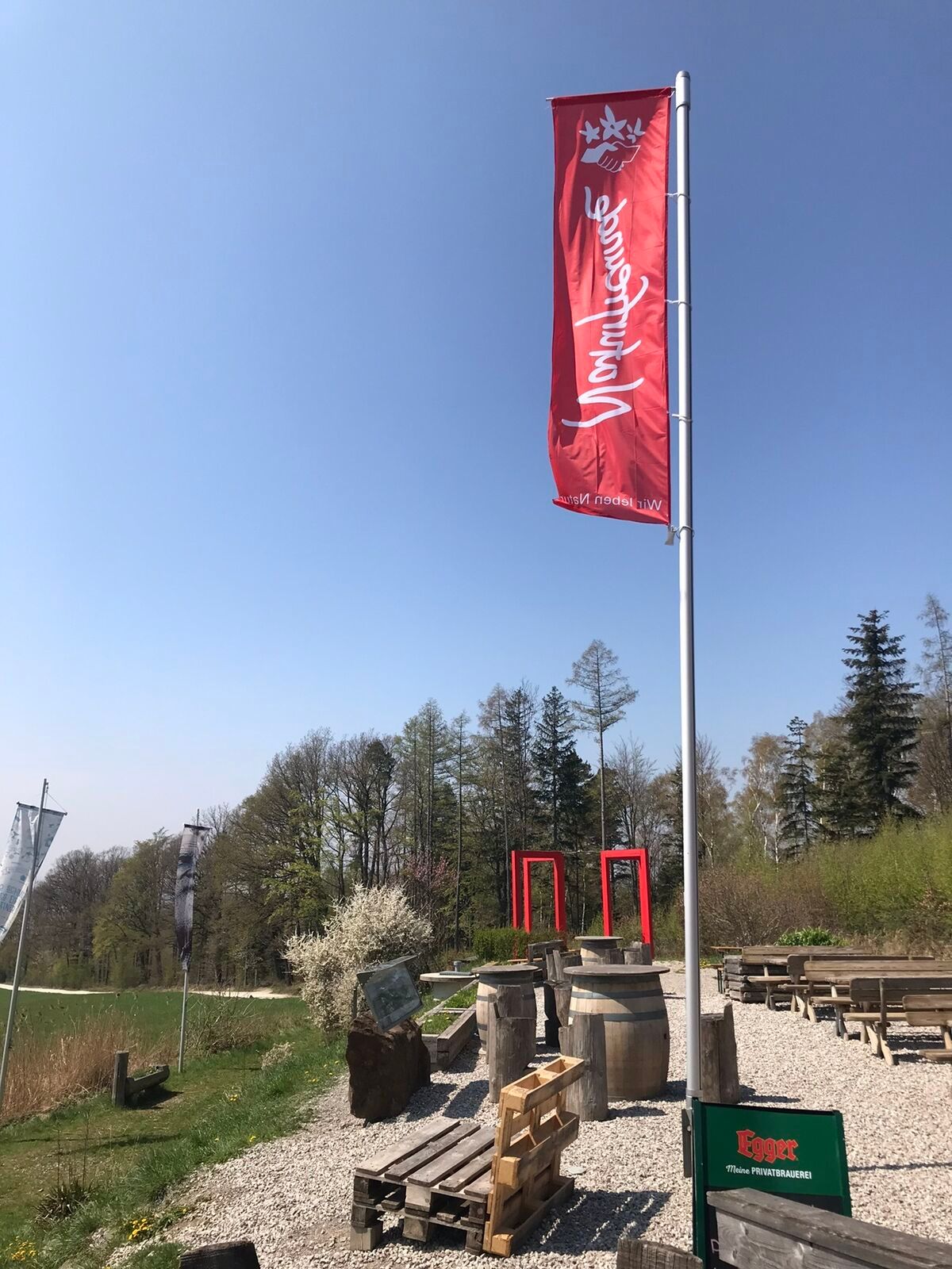
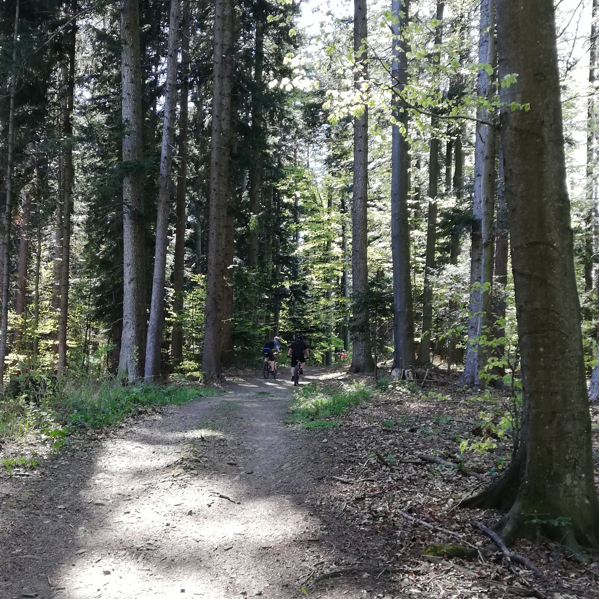
We cross the Kreisbacher Bridge and a railway crossing (Kreisbach stop) and follow Kreisbacher Straße into the Kreisbachtal. After a short ascent, we ride through a residential area and reach Schloss Kreisbach directly. We leave the castle through a (always open) large wooden gate and return onto Kreisbacher Straße, where shortly afterwards we can see the Antiques Center Renz on the left. Here we continue along Kreisbacher Straße until we reach a widening of the road. While the now narrowing road continues further into Kreisbachtal, we keep left downhill and follow the short road over a bridge. Here we follow the gravel road uphill towards Geisriegel. Then we ride between a farm and a horse paddock with an outbuilding, always further uphill, and at the upcoming intersection we turn left towards Draxelhofer Höhe. Having reached Draxelhofer Höhe, we ride along the meadow ridge towards the west (Rudolfshöhe/Ochsenburger Hut). Immediately before the forest section ahead, we turn left down onto a gravel road that continues west. Along a dilapidated farmhouse, the gravel road finally leads us to a small parking lot with an electronic barrier. Past the barrier, it goes steeply at first, then flattening, up to the Ochsenburger Hut (d’Rudi). After a possible refreshment at the hut, we ride back about 200 m and then turn right into the forest (attention: 2 barriers). We follow the forest road, which always descends towards the district of Reith. There, we ride along the Traisen River heading south (upstream) back to the starting point of the route.
A1, exit St.Pölten West, direction Traisental/Lilienfeld, B20 to Wilhelmsburg, turn left at large traffic light and always head towards Bahnhof Kreisbach
1. Parking lot (P&R facility) Bahnhof Kreisbach
2. Public parking lot, coming from the center over the Kreisbacher Bridge and then immediately turning right (= Wasenmühle) about 50 m after the intersection with Kreisbacher Straße (sign for parking available!)
Municipality of Wilhelmsburg (https://www.wilhelmsburg.at)
Schloss Kreisbach (https://www.kreisbach.at)
Antiques Center Renz (https://antik-renz.at)
Ochsenburger Hut (D'Rudi - Ochsenburger Hut - Homepage | Facebookde-de.facebook.com › ... › Hafen)
Refreshment possibility along the route: Ochsenburger Hut (from there it’s only downhill and flat further ;-)
Refreshment possibility in town: Cup Bibino (with outdoor area), Schwarzer Bär, Cafe Restaurant Lukic (with outdoor area)
Excursion options: Wilhelmsburg leisure center (city park, swimming pool with 10m tower, beach volleyball, mini golf, playground)
Excursion options: 4 (circular) hiking trails with 7/8/12 and 38 km
Municipality of Wilhelmsburg
Hauptplatz 13 A-3150 Wilhelmsburg
Tel. 02746/231 50
stadtgemeinde@wilhelmsburg.gv.at
www.wilhelmsburg.gv.at
Mostviertel Tourism
Töpperschloss Neubruck
Neubruck 2/10, 3283 Scheibbs
T +43/7482/204 44
info@mostviertel.at
www.mostviertel.at
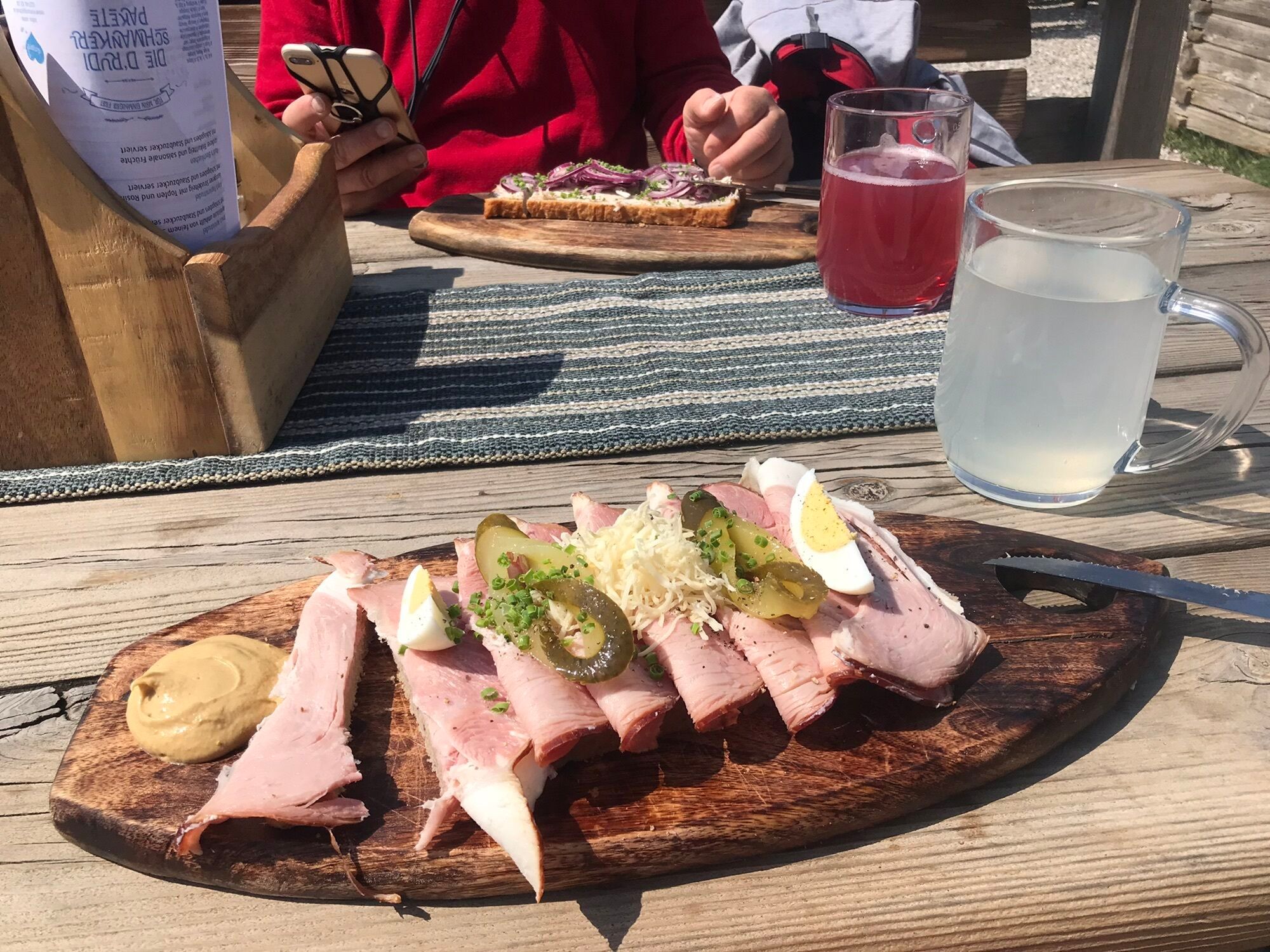
Far beyond the borders of Wilhelmsburg, the Ochsenburger Hut presents itself as a place of culinary delights with its "World Heritage - Meat Bread."
Priljubljeni izleti v okolici
-
4.6
LILIENFELD Grünes Tor Muckenkogel Hinteralm Klosteralm 20201025
srednjaPohodništvo 11.7 km -
4.4
Kaiserkogel mit Start und Ziel in Eschenau
svetlobaPohodništvo 10.2 km -
4.5
Rundweg Ochsenburgerhütte
svetlobaPohodništvo 7.60 km -
4.2
Hainfelder Hütte: Schöner Rundkurs abseits der Massen
svetlobaPohodništvo 10.1 km -
4.7
Kaiserkogel
svetlobaPohodništvo 6.03 km -
4.4
Hegerberg
svetlobaPohodništvo 8.06 km -
4.3
Lorenzipechkogel - Schneerosenwarte
srednjaPohodništvo 10.2 km -
4.0
Geisbühel-Runde
svetlobaPohodništvo 13 km -
4.3
Lilienfeld Kolm Hinteralm Traisenhütte 20.02.2017 leichte Schitour
svetlobaSmučarska tura 11 km -
4.7
Rudolfshöhe drei Galgenweg Wilhelmsburg, Österreich
svetlobaPohodništvo 8.04 km
Pohodništvo in sledenje


Ne zamudite ponudb in navdiha za naslednje počitnice
Vaš e-poštni naslov je bil dodan na poštni seznam.