


MTB Jauerling - Route 2 - Kollmitz loop
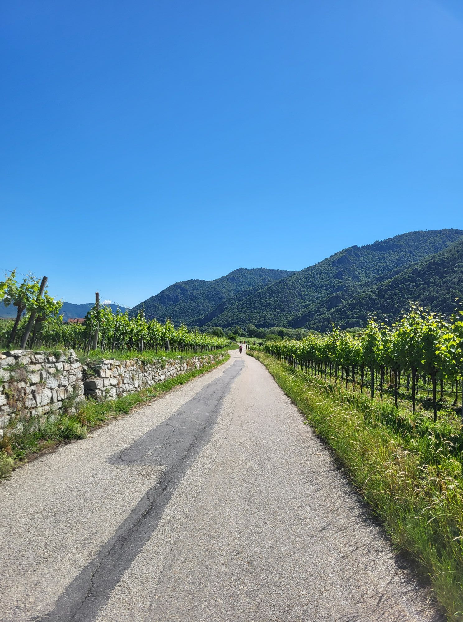
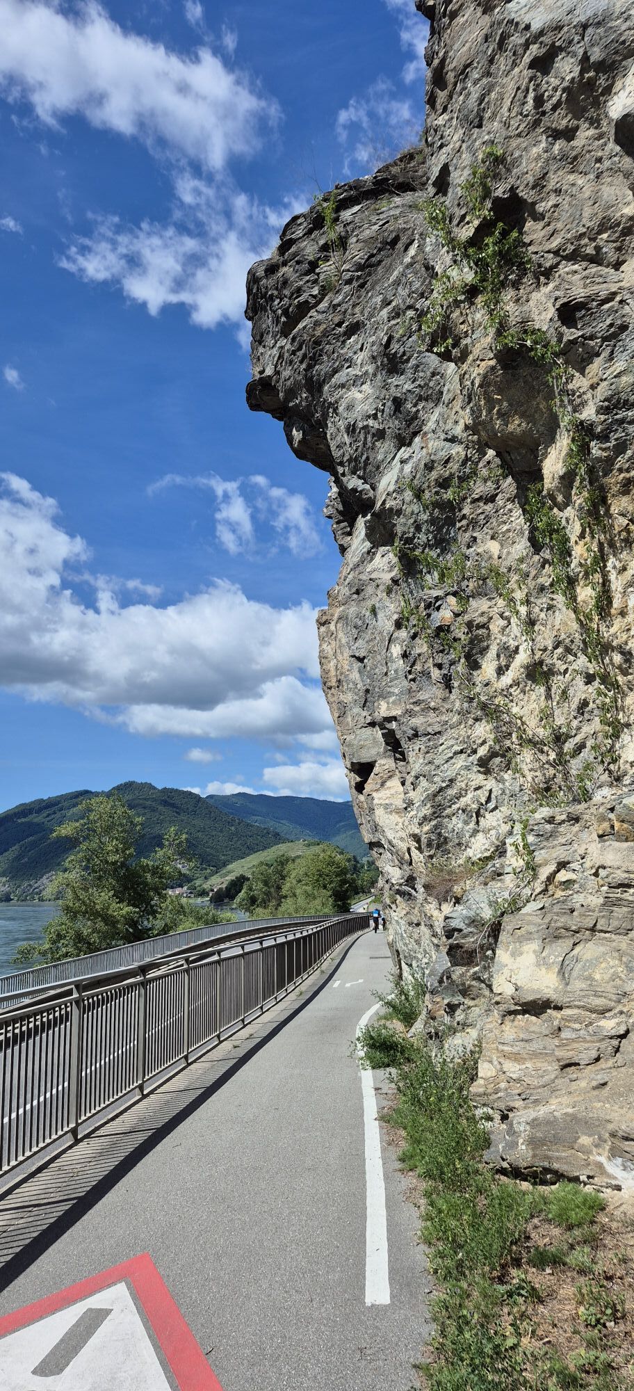
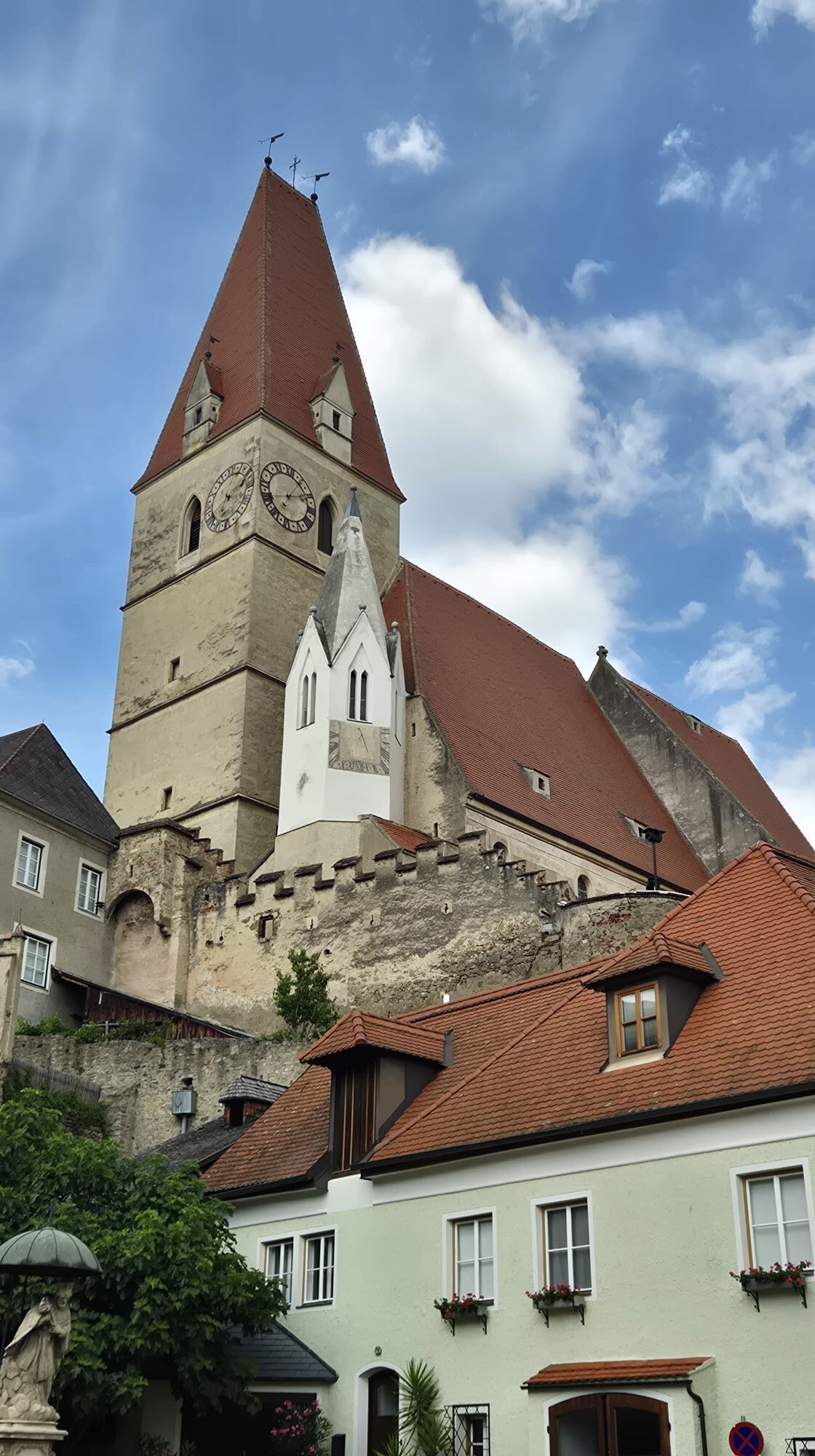
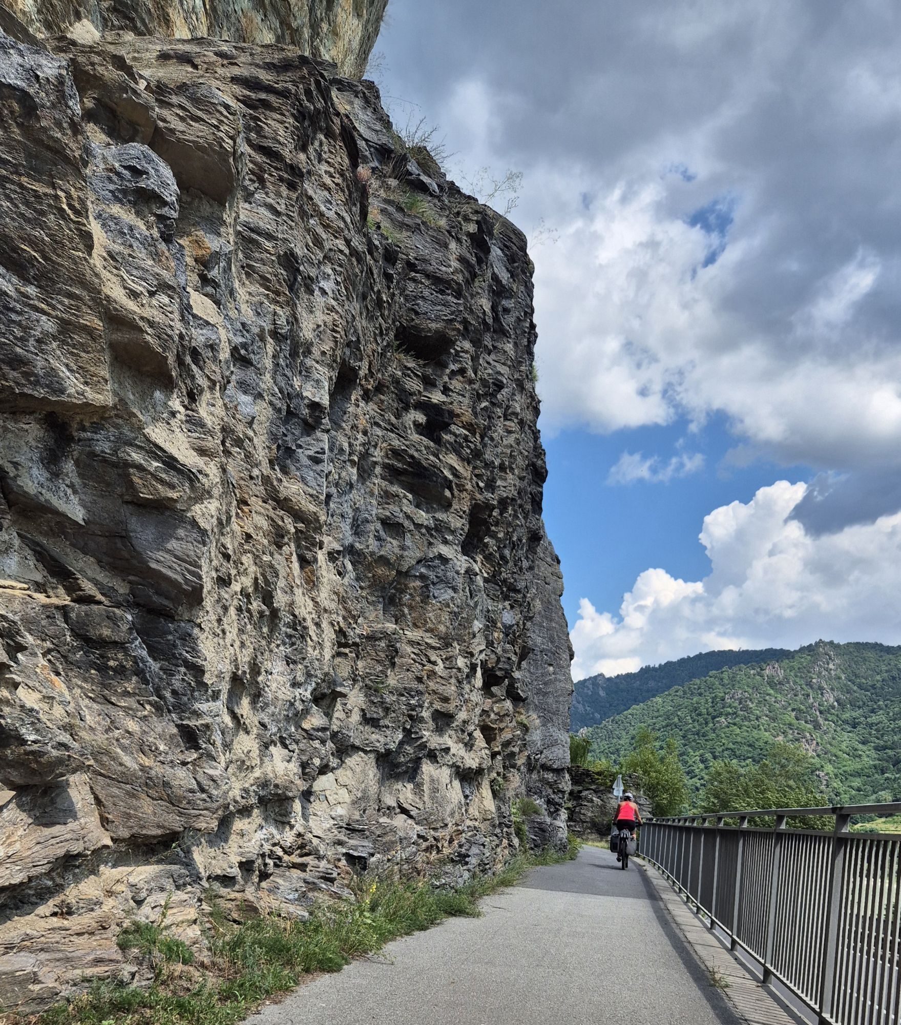
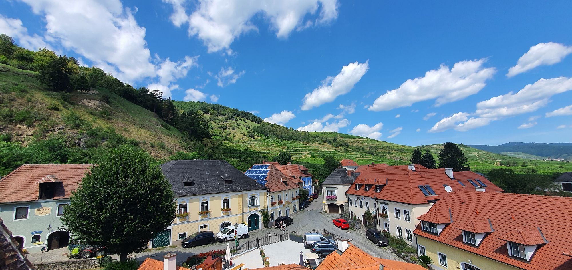
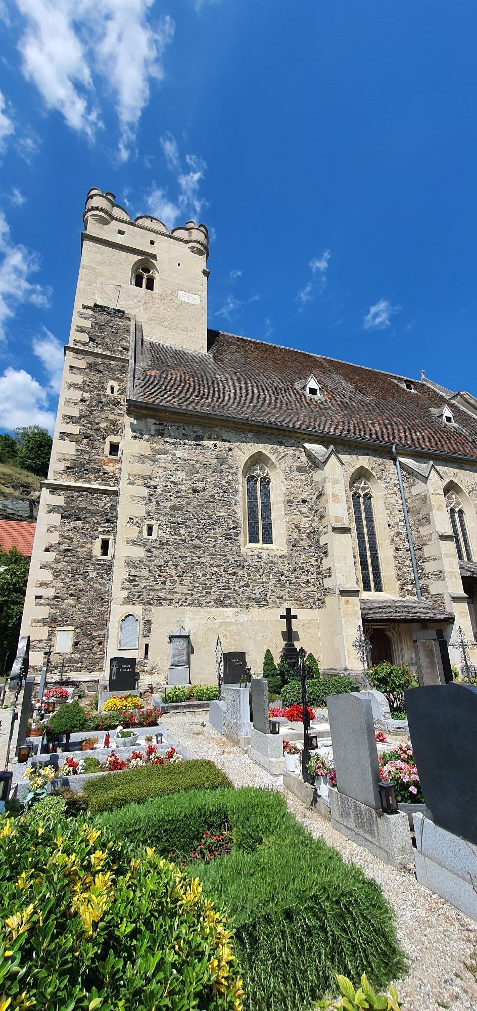
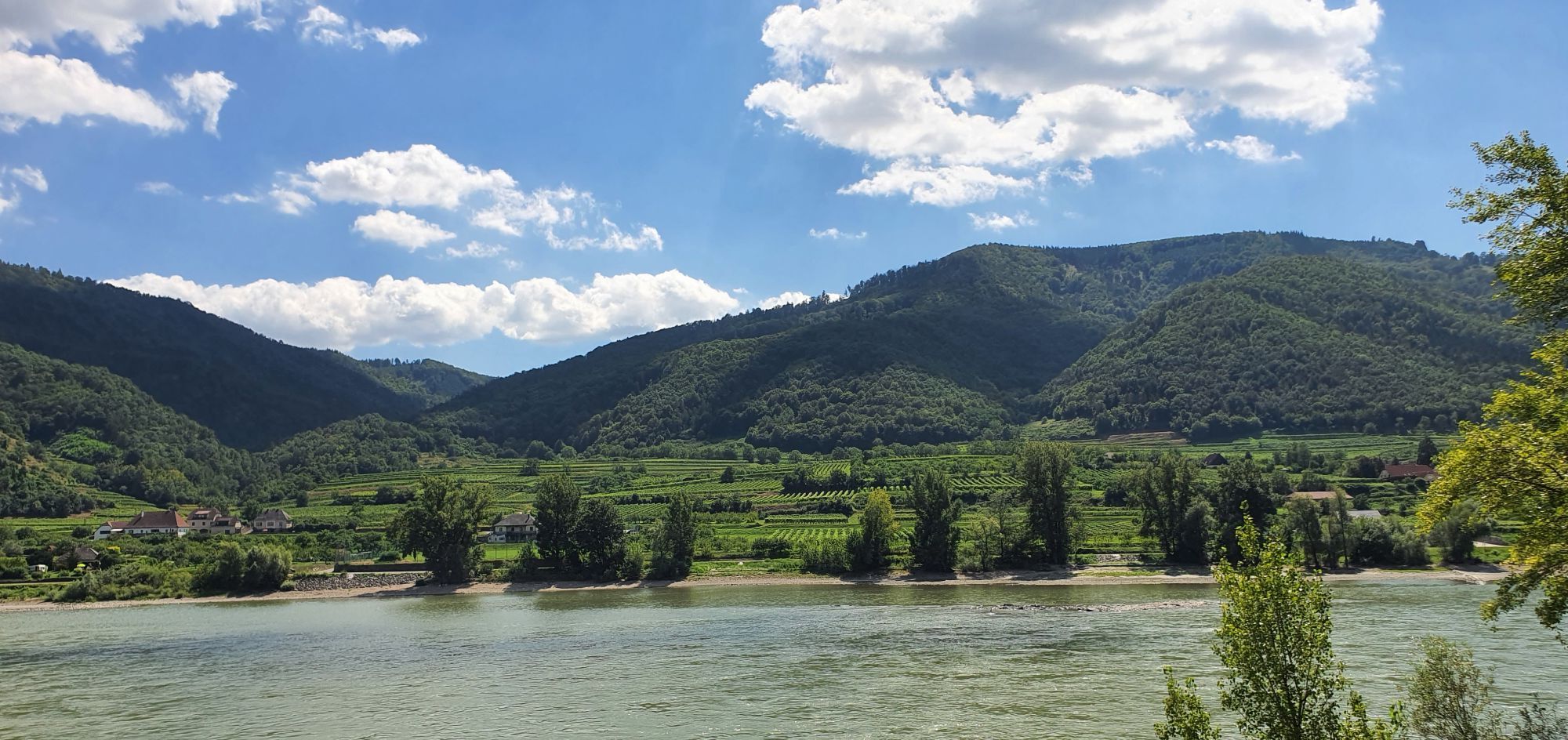


We ride from Weißenkirchen train station to Seiber, where we enjoy a breathtaking view of the Danube Valley from Dürnstein to Spitz. The next station is Habruck. From there, it goes through the Miesling...
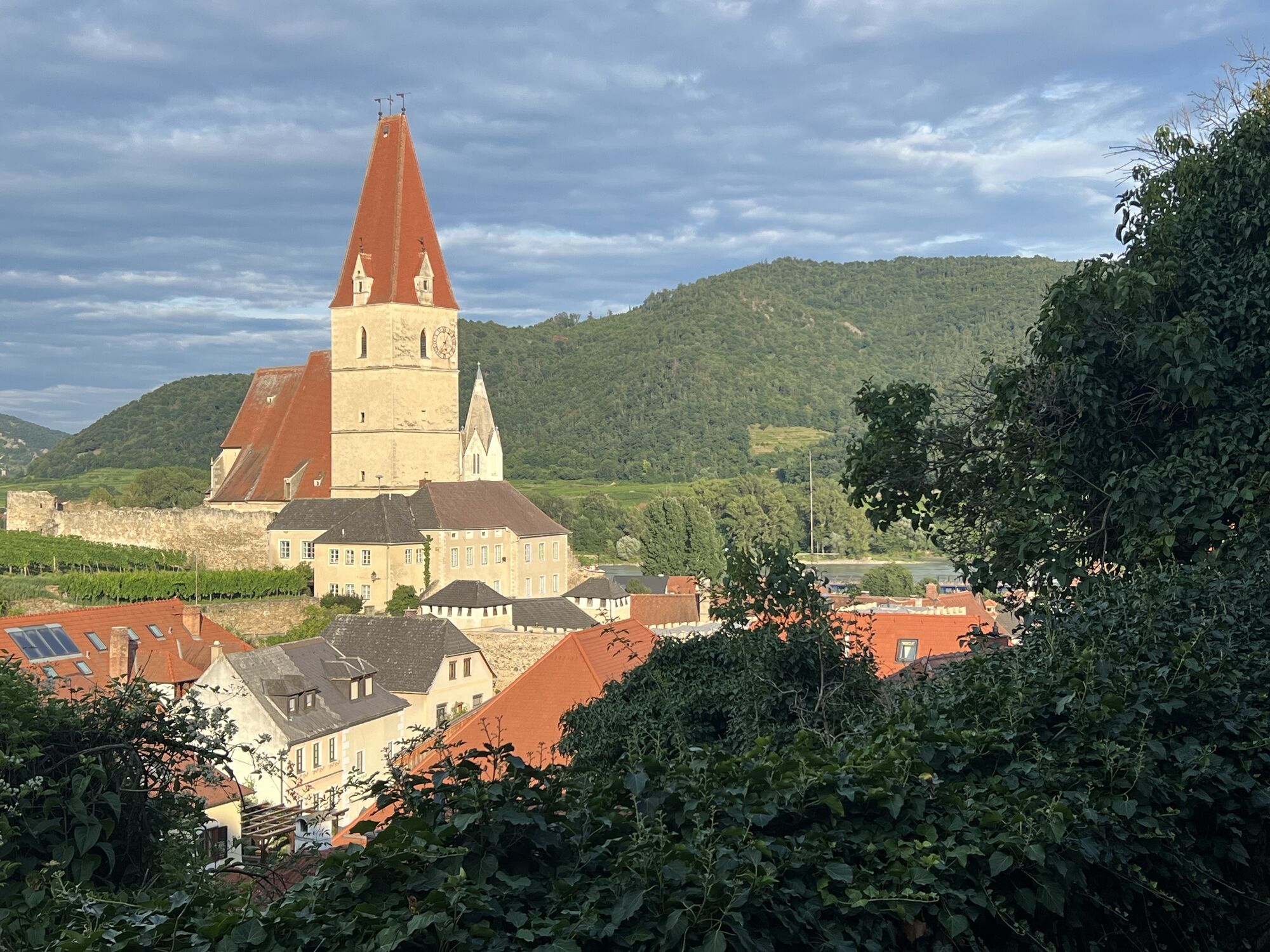
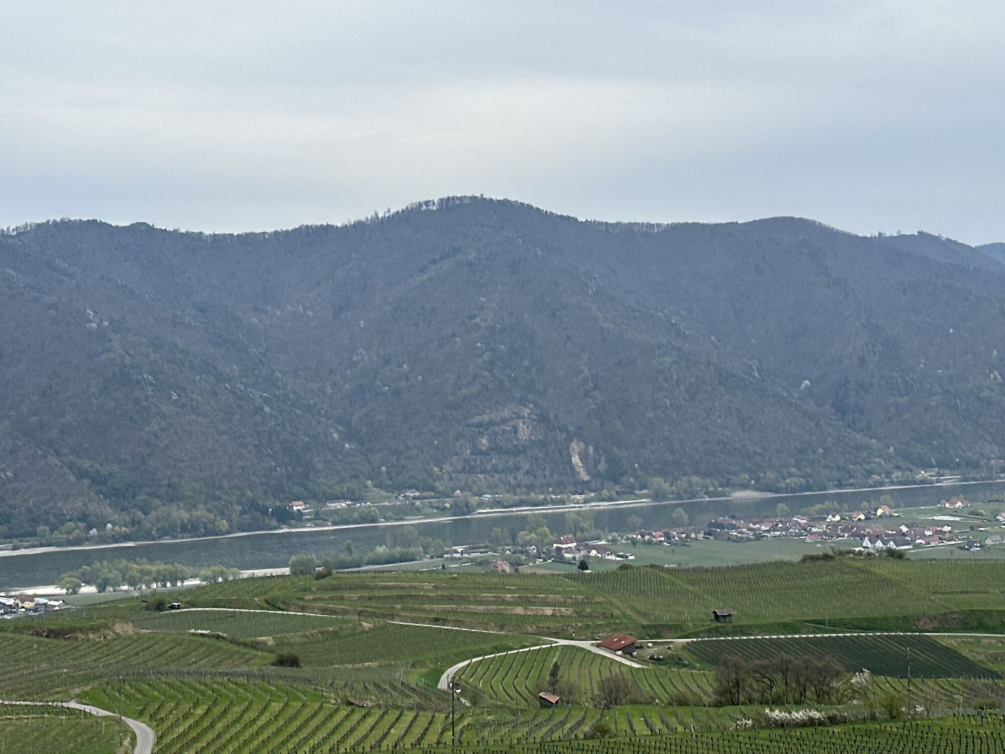
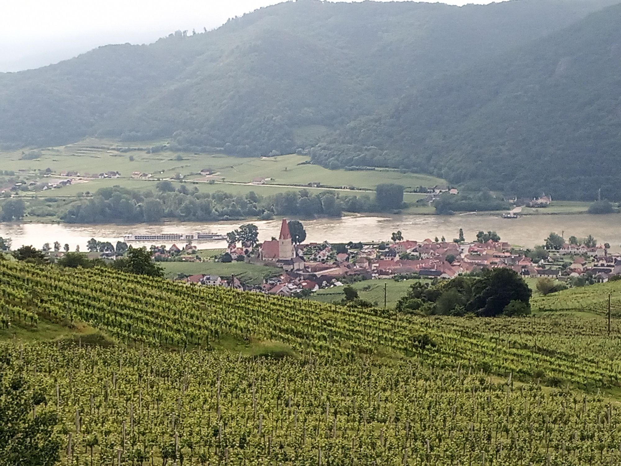
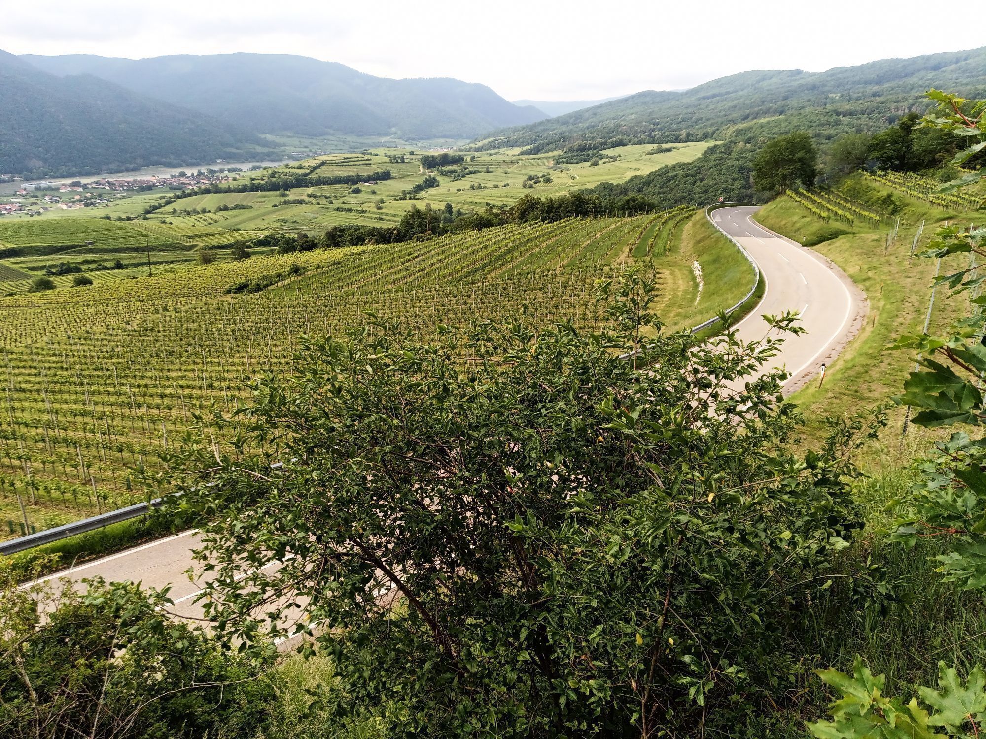
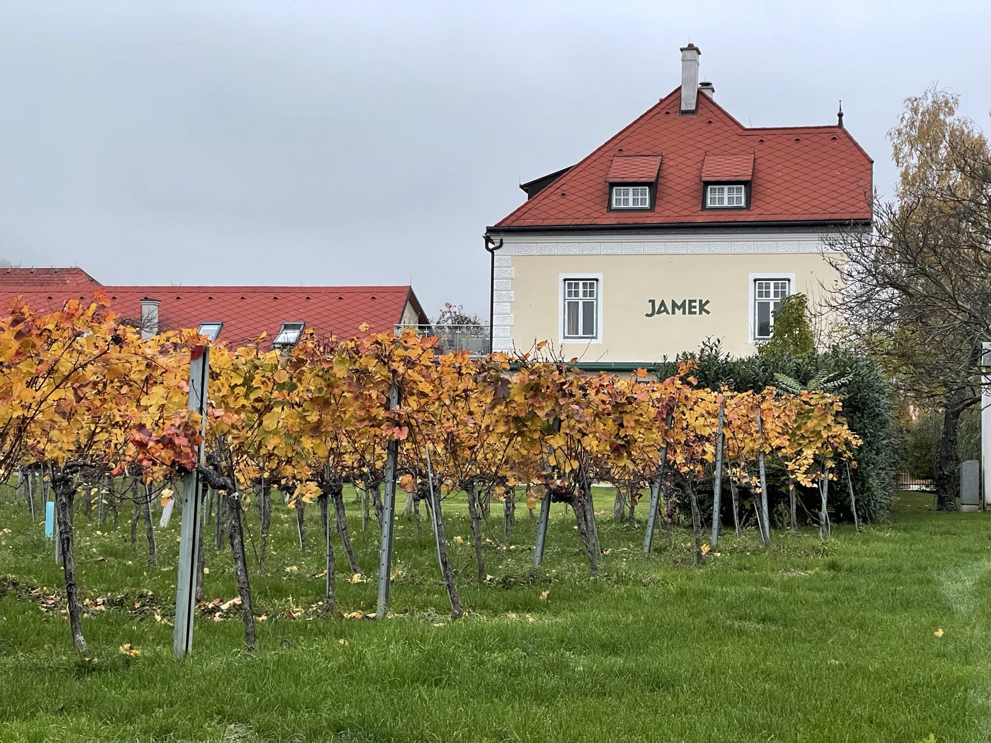
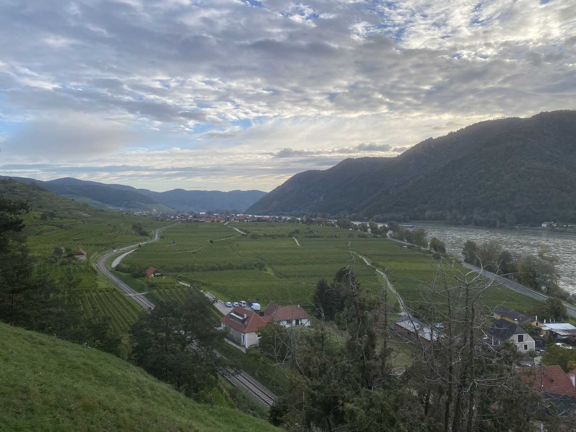
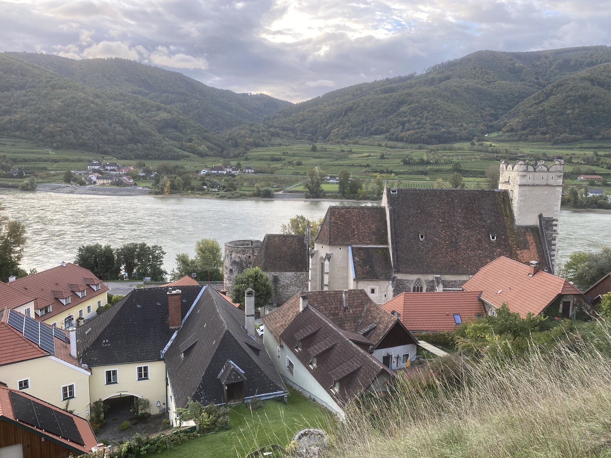
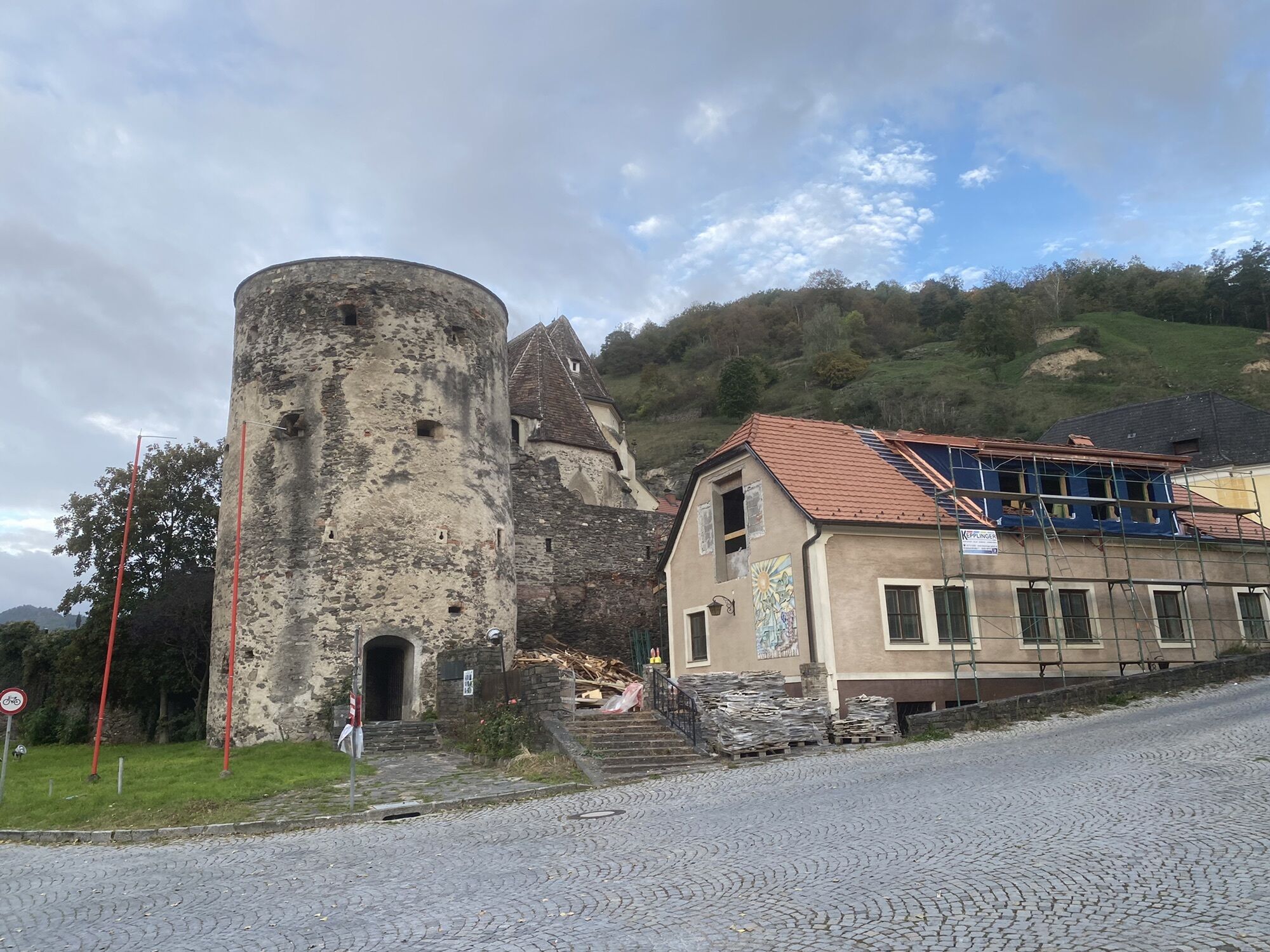
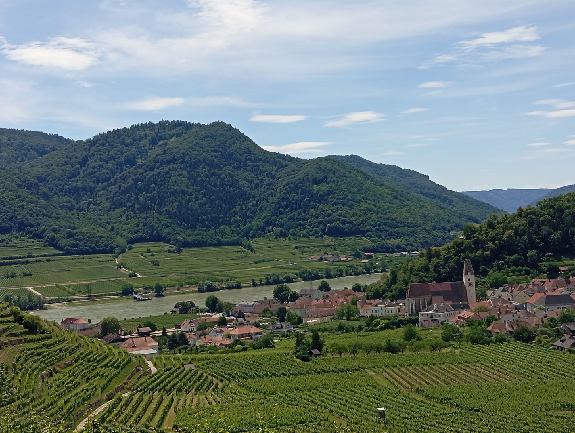
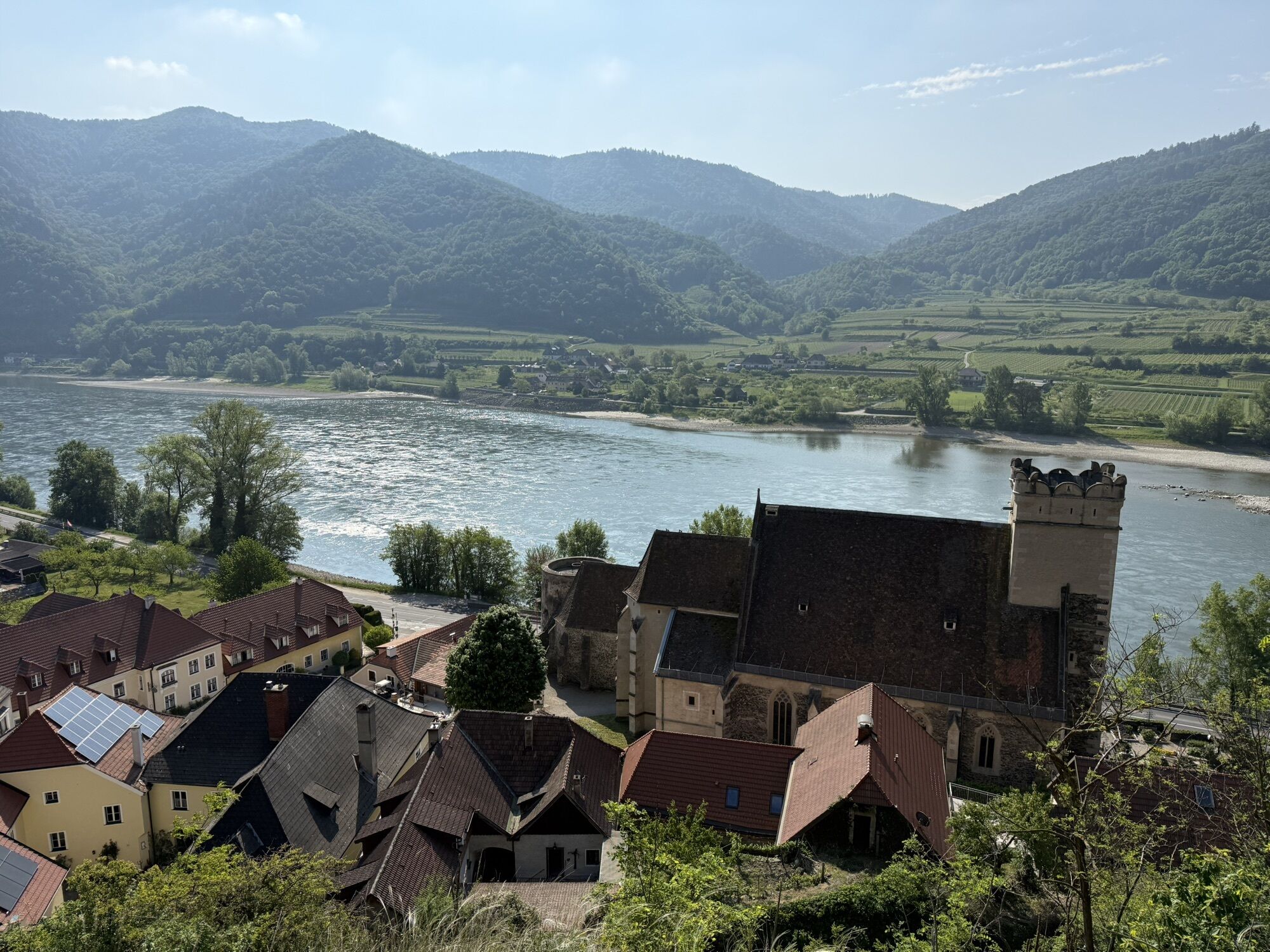
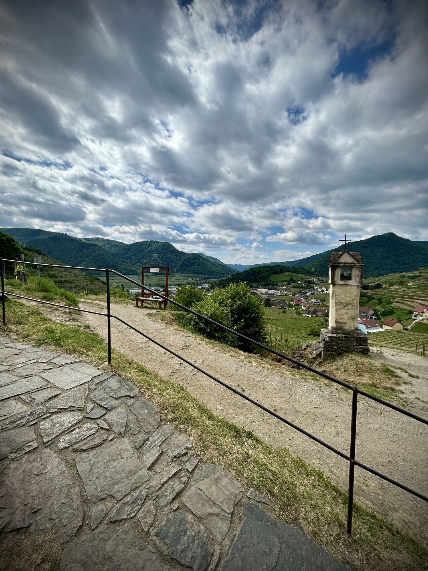
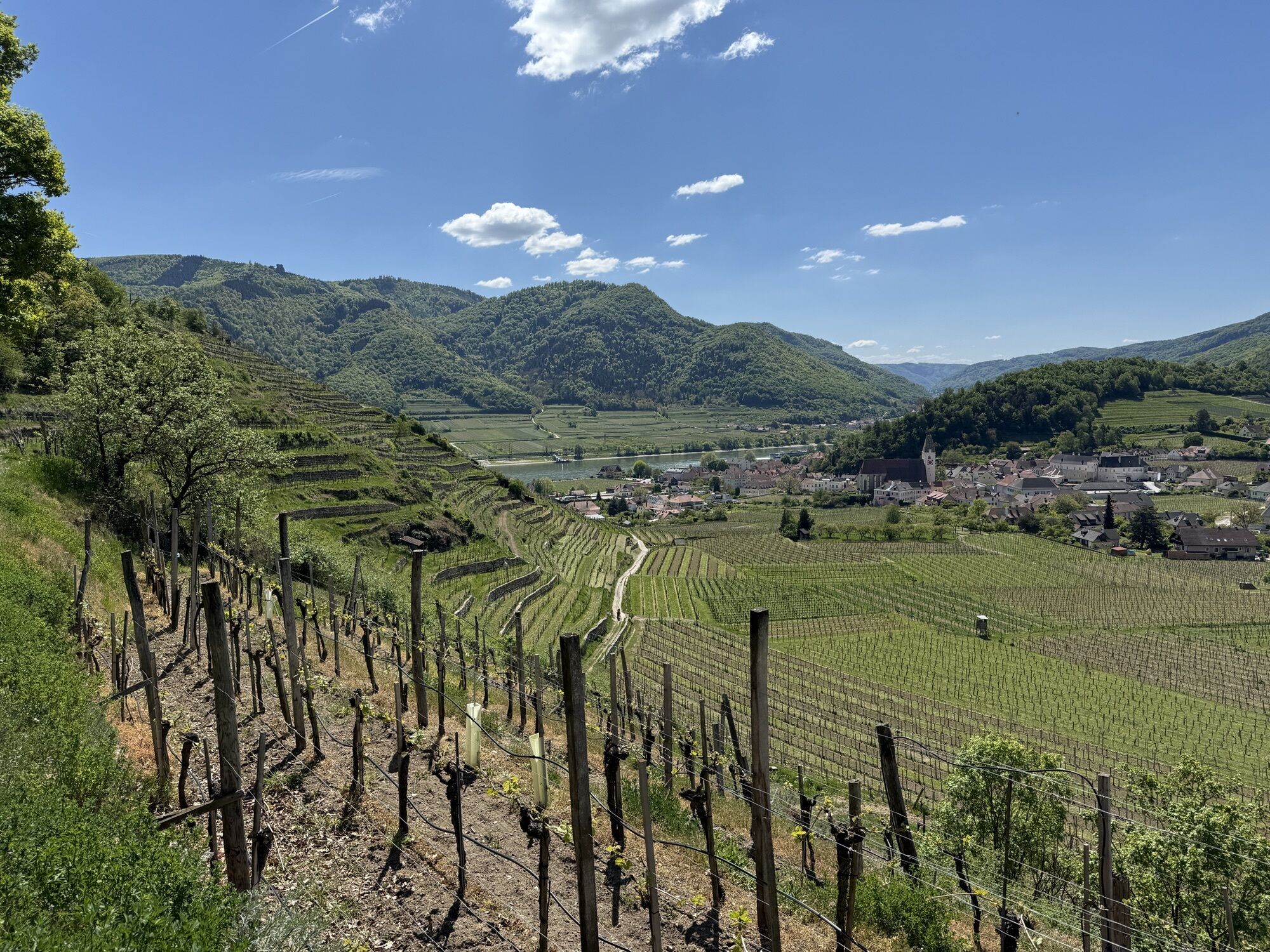
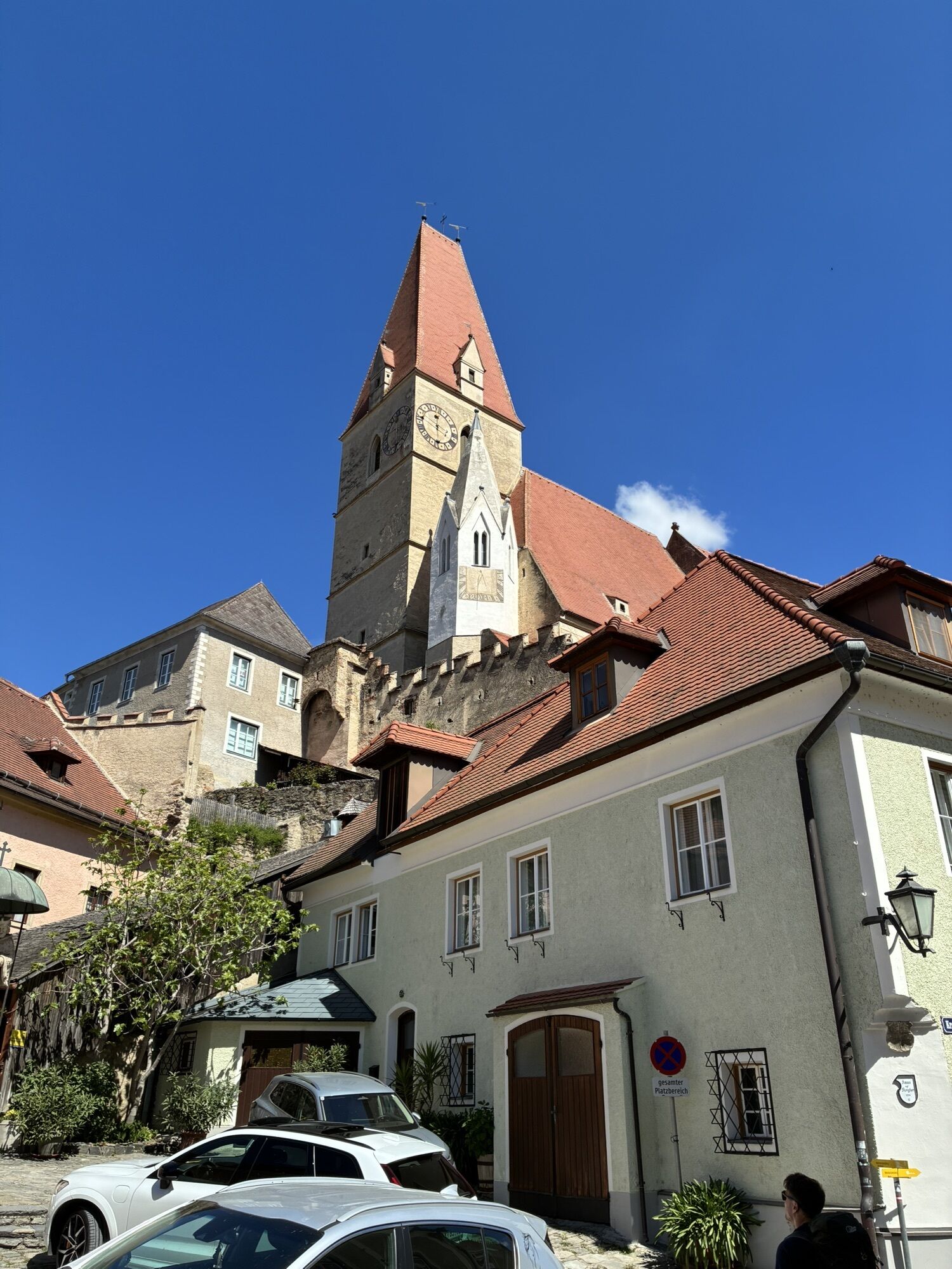
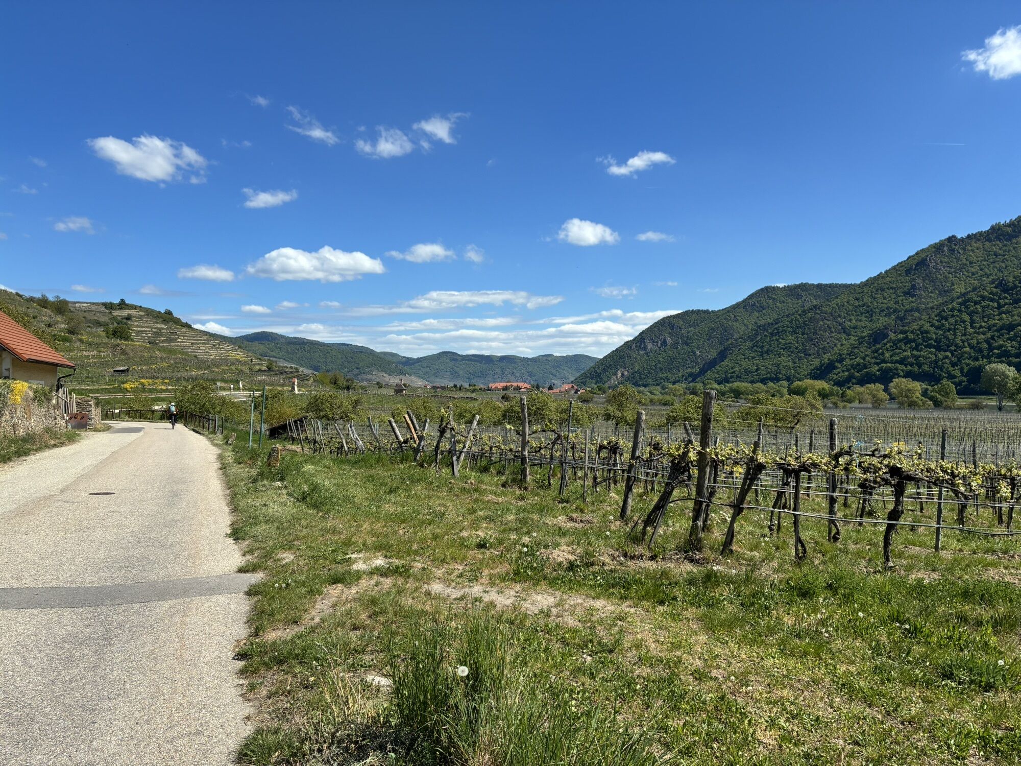
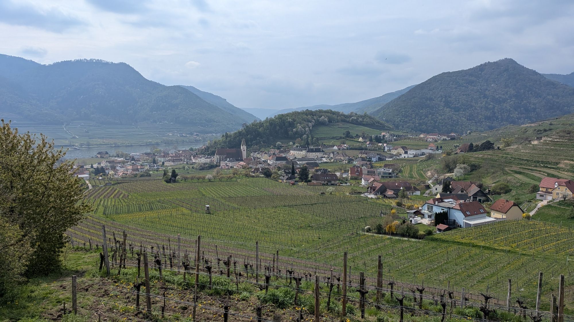
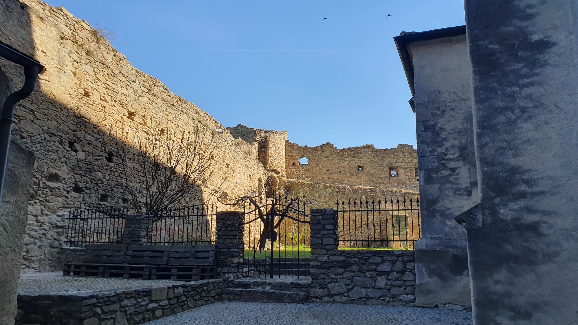
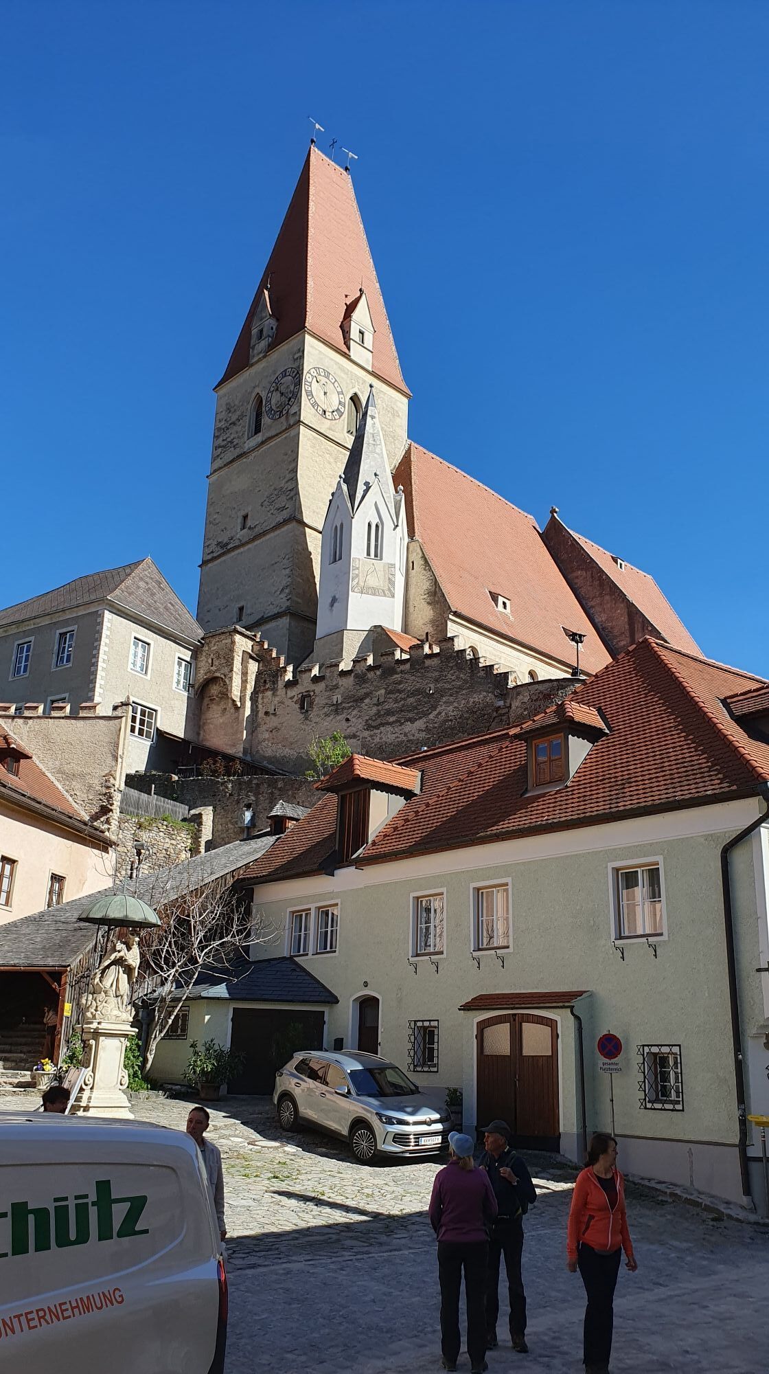
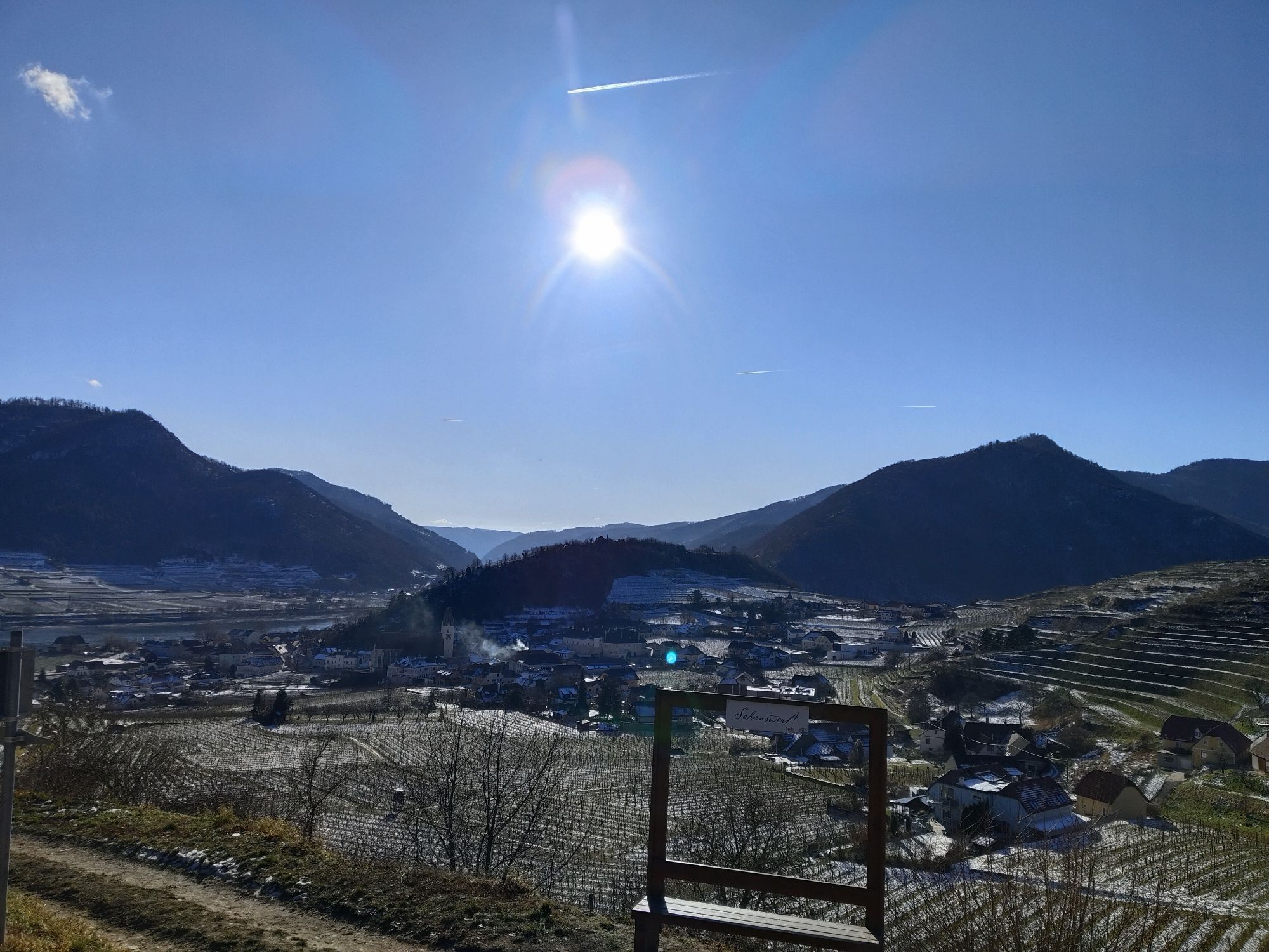
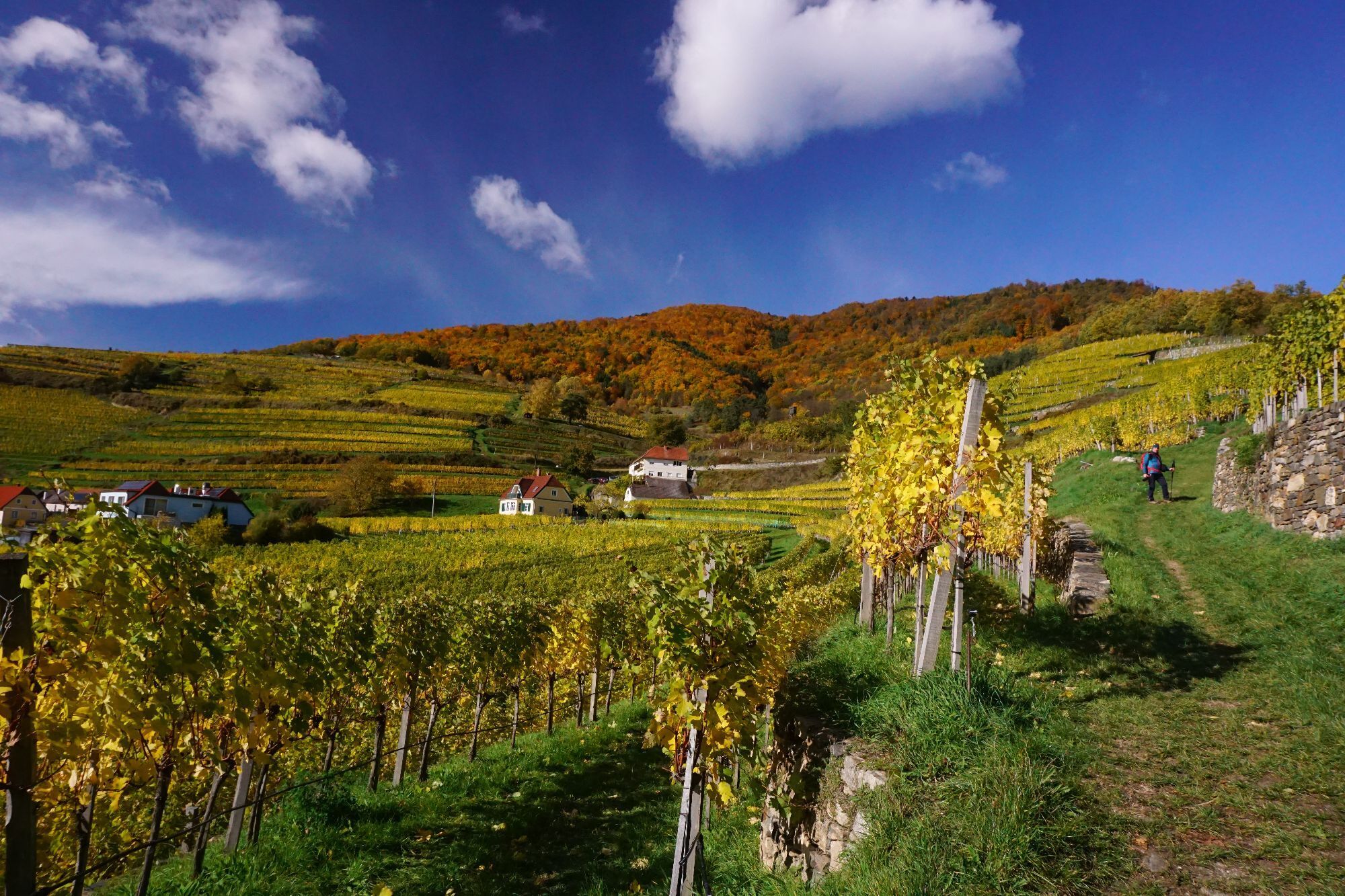
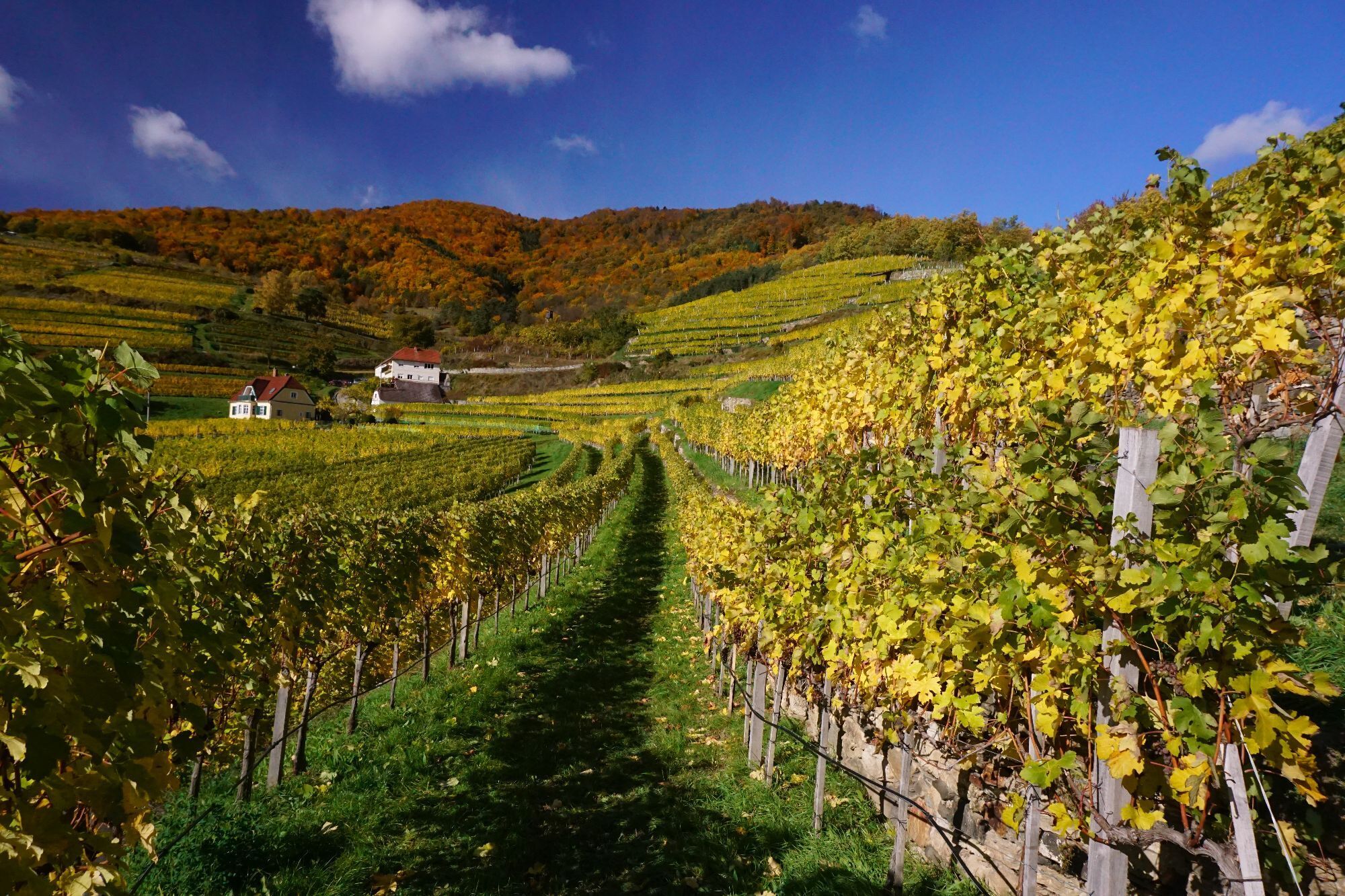
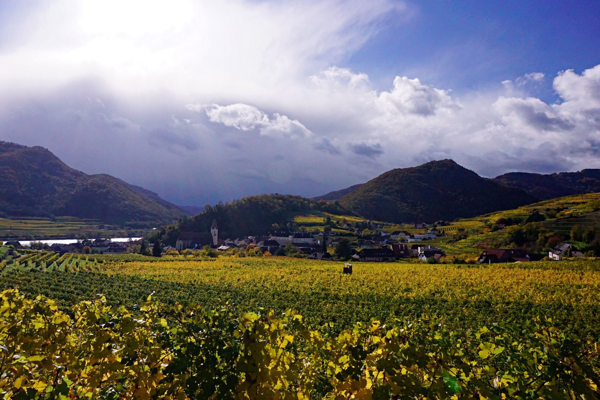
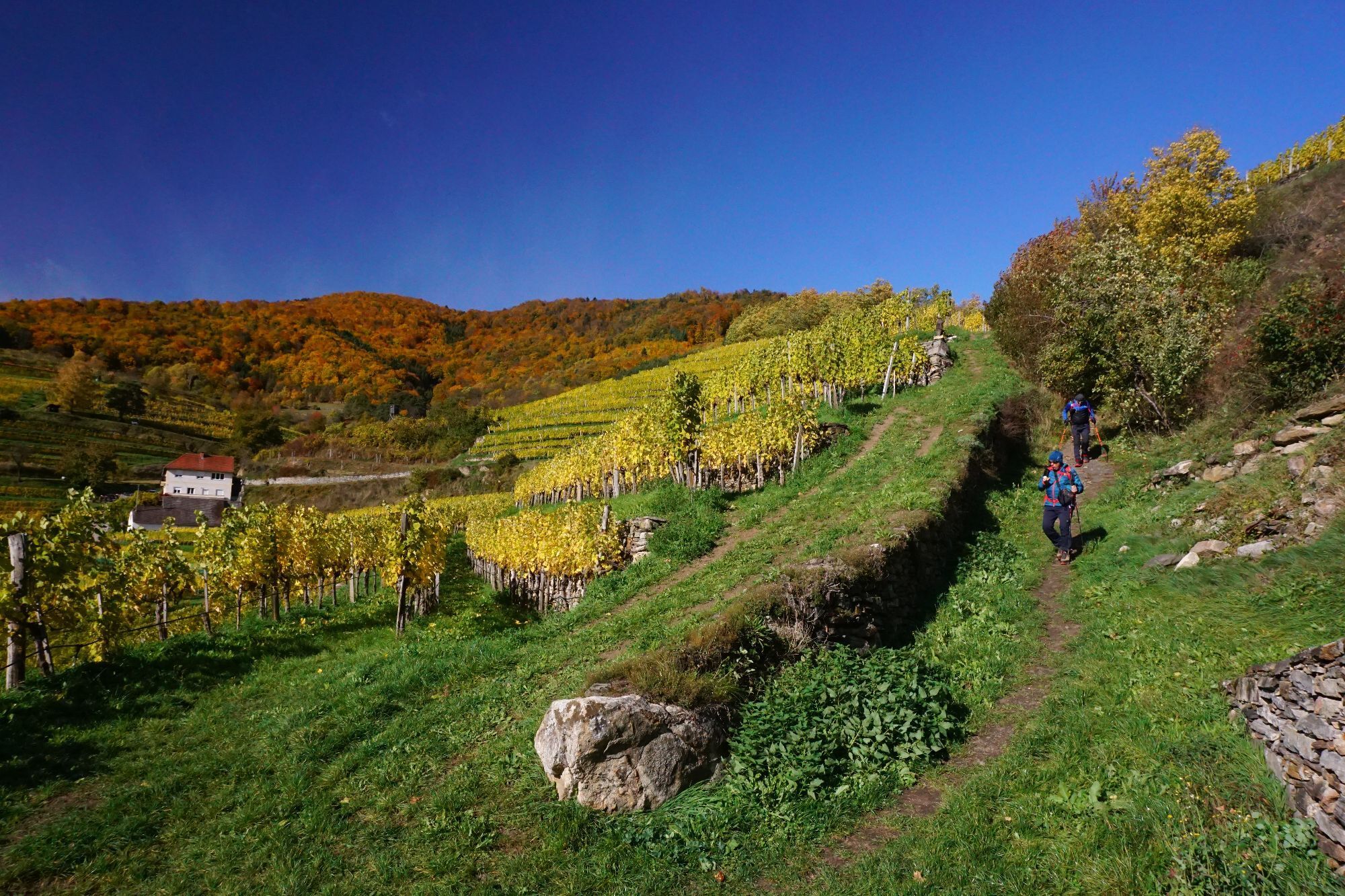
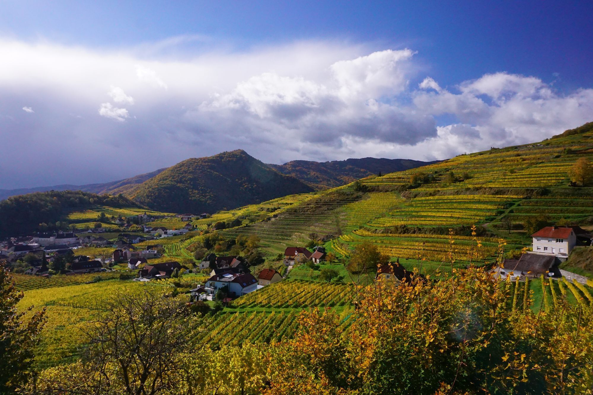
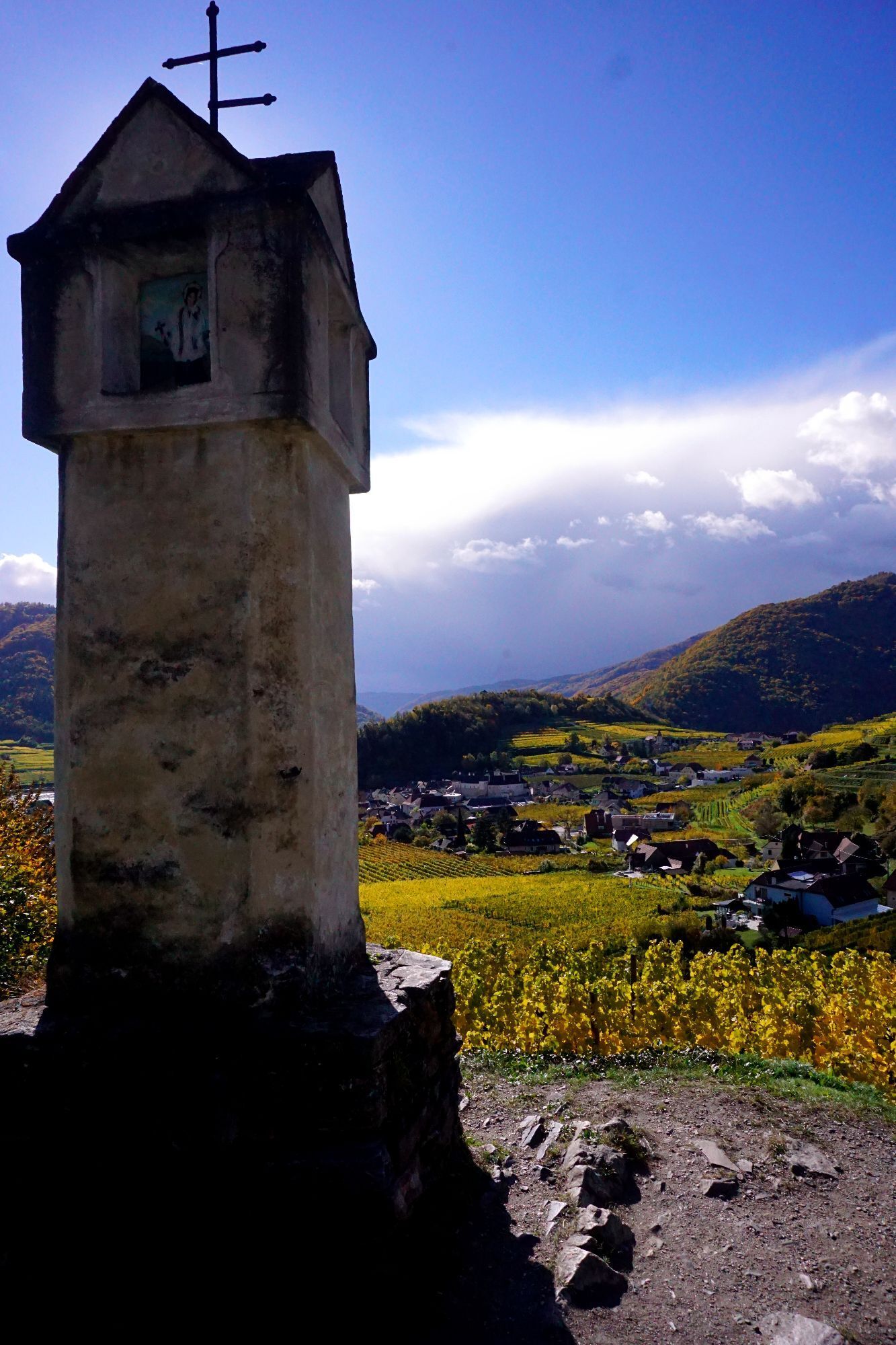
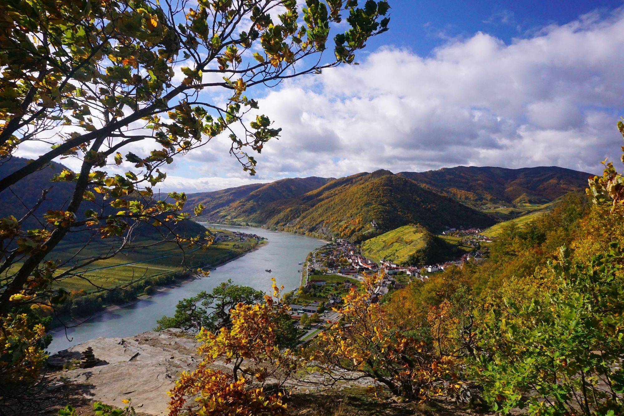
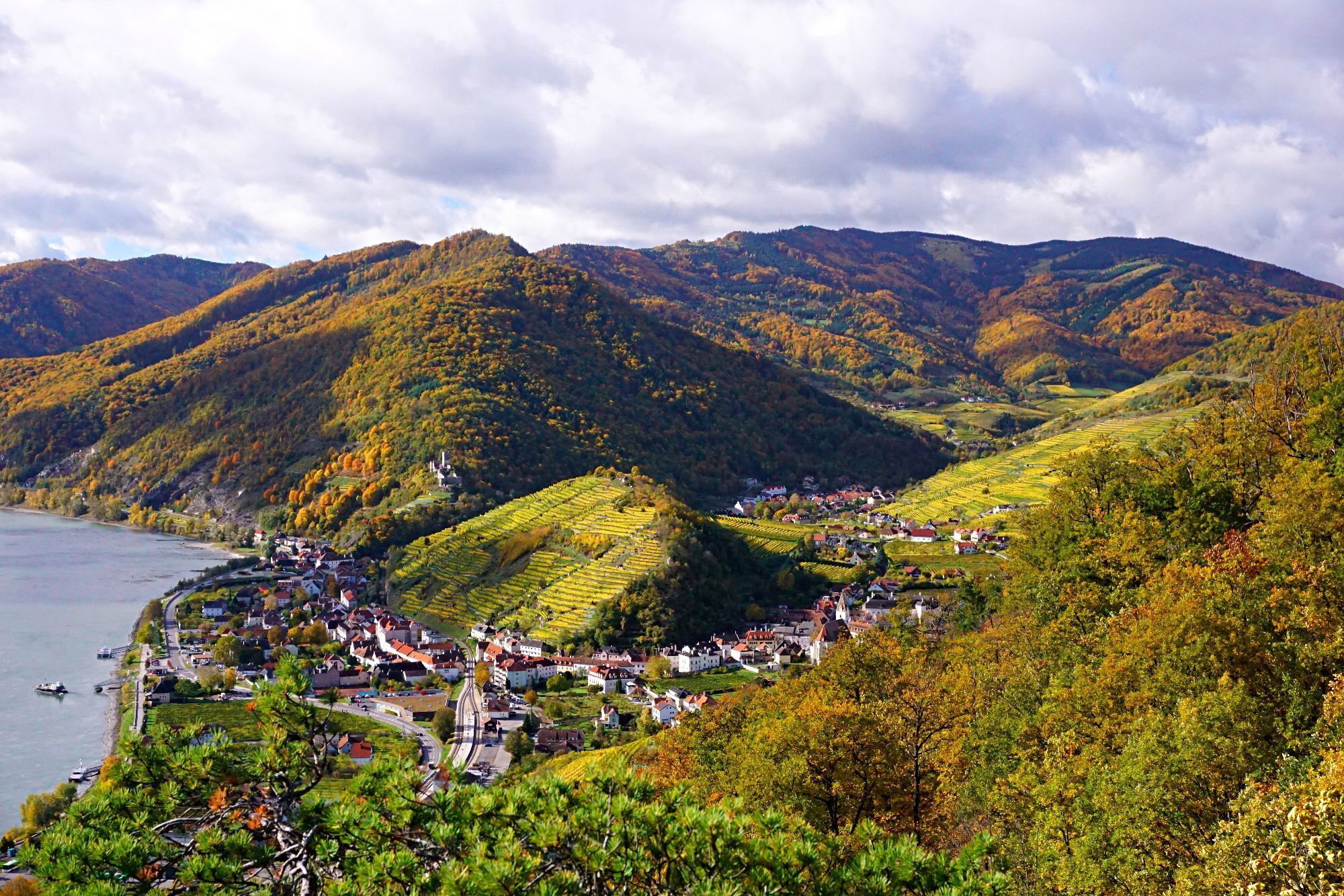
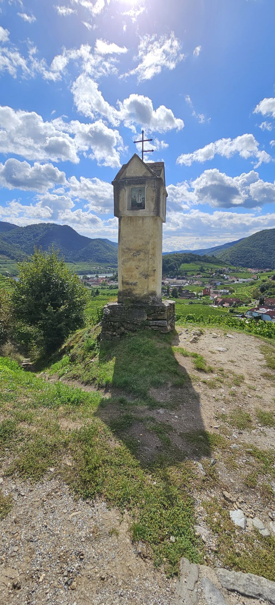
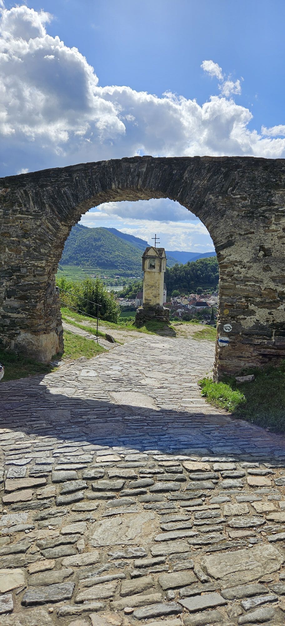
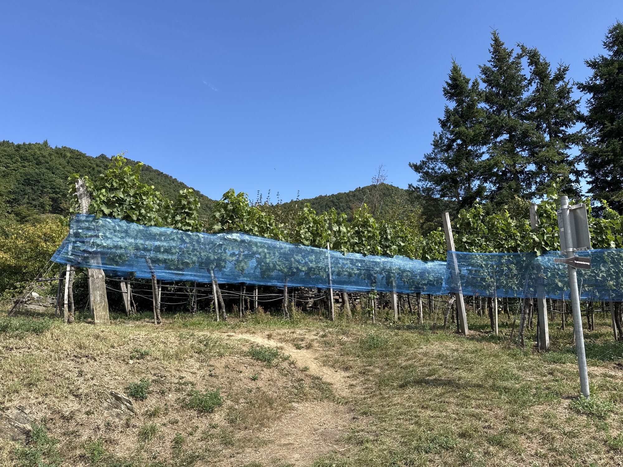
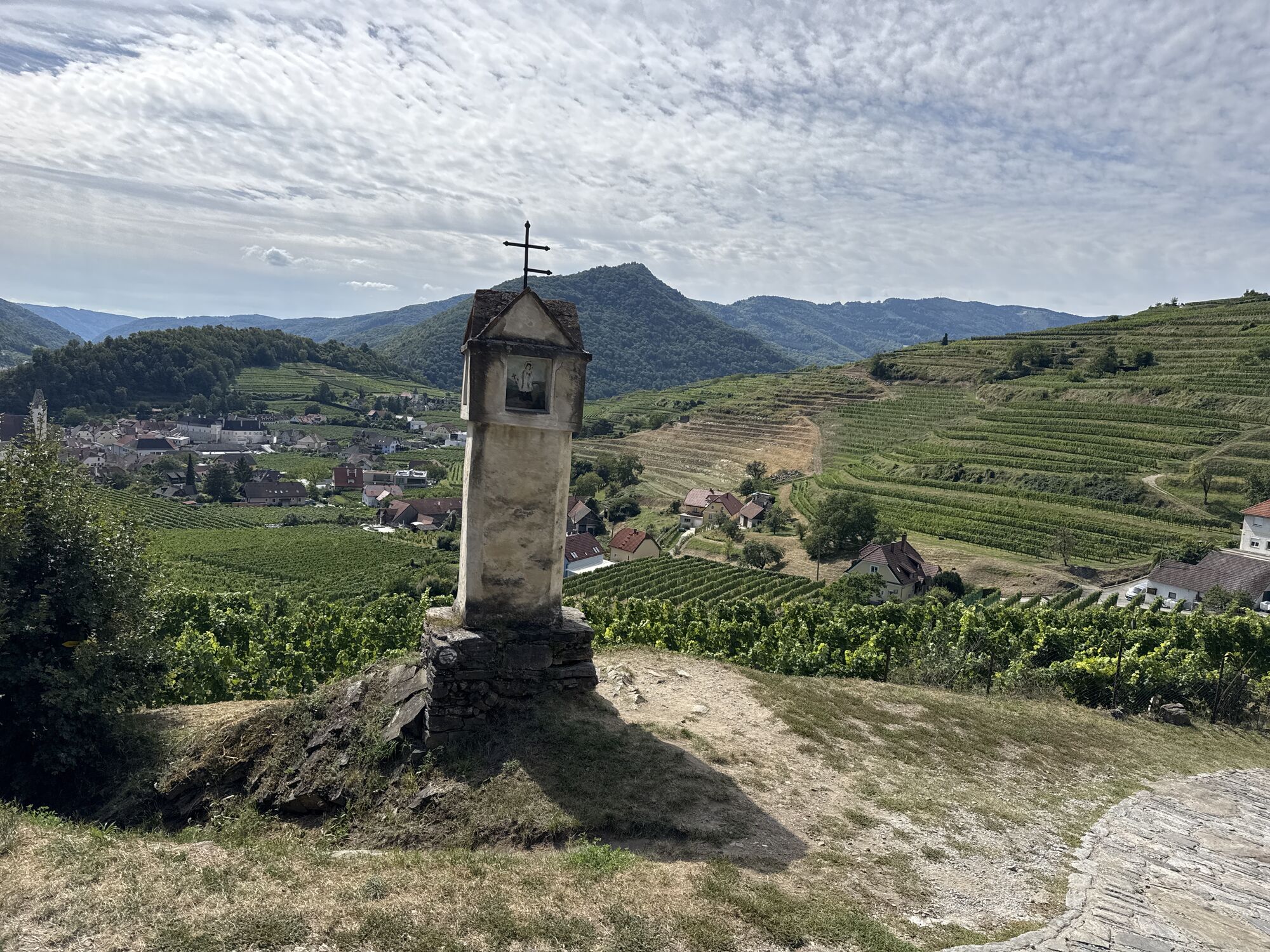
<p>We ride from Weißenkirchen train station to Seiber, where we enjoy a breathtaking view of the Danube Valley from Dürnstein to Spitz. The next station is Habruck. From there, it goes through the Miesling valley in Spitz on to the ancient wine village of Wösendorf, from where we continue to Joching. From there, we ride back to the train station in Weißenkirchen via romantic vineyard paths.</p>

<p>Respectful coexistence with other forest users and the hunting and forestry staff is as natural as avoiding litter. The Biker Fair Play rules aim to promote these principles and can be found both on printed maps and on various websites. Here are the rules in detail:</p>Use of the marked bike routes is only permitted during the contractually fixed periods: March, October from 9:00 am – 5:00 pm April, September from 8:00 am – 6:00 pm May to August from 7:00 am – 7:00 pmRespectful treatment of landowners, hunting and forestry staff!Consideration for other forest users!Ride at half visibility with controlled speed!Be cautious regarding work machines, wood or potholes on the road, grazing cattle, and motor vehicle traffic (forest roads are operational sites and workplaces)!Observe the traffic regulations!Be mindful of cleanliness in nature!Check equipment and wear helmets!Riding off the routes and outside the permitted times is illegal. Observe riding bans and closures!Use of the routes at your own risk!
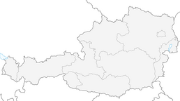
<p>A1 to Melk and via B3 to Weißenkirchen or via S5 or S33 to Krems and via B3 to Weißenkirchen.</p>
<p>Weißenkirchen can be reached hourly by bus line WL715 from the Melk and Krems train stations, schedules at: <a href="www.vor.at">www.vor.at</a&...
<p>At the Danube promenade or at the train station area in Weißenkirchen.</p>
Responsible for the content of this route
Wachau-Nibelungengau-Kremstal
Last updated: 11/13/2025
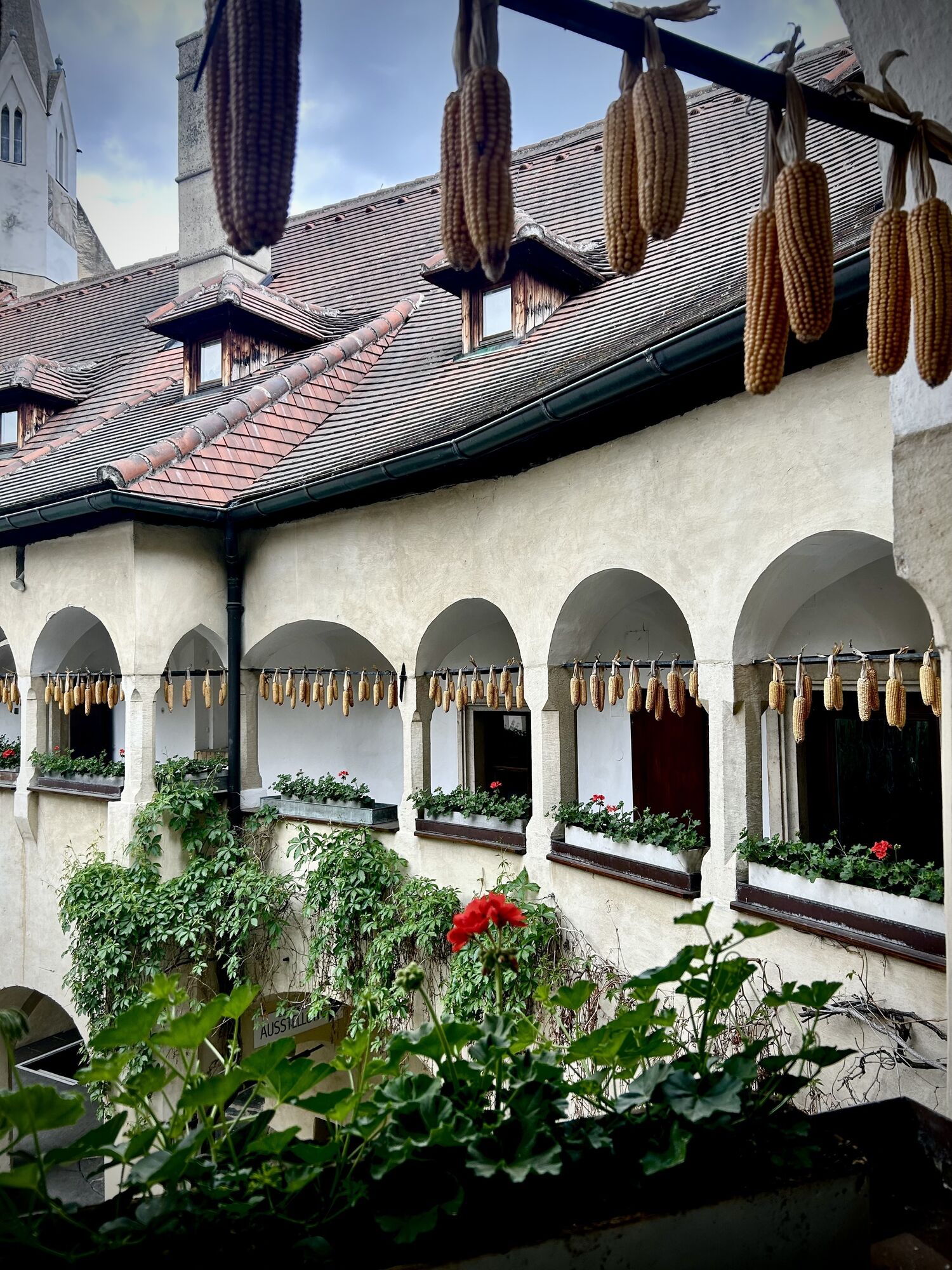
Be sure to plan a visit to one of the numerous Heurigen (wine taverns) in the Wachau. You can find out who is open when and where in the online Heurigen calendar.
Spletne kamere s turneje
Priljubljeni izleti v okolici
-
4.5
Welterbesteig Wachau 02: Dürnstein-Weißenkirchen
svetlobaPohodništvo v daljavo 15.9 km -
4.4
Welterbesteig Wachau 03: Weißenkirchen-Spitz
svetlobaPohodništvo v daljavo 10.4 km -
4.6
Welterbesteig Wachau 01: Krems-Dürnstein
svetlobaPohodništvo v daljavo 12.3 km -
4.8
Vogelbergsteig -Kanzel- Fesselhütte - Ruine Dürnstein zum Heurigen in Furth
srednjaPohodništvo 7.59 km -
4.7
Rundhöhenwanderweg Weißenkirchen in der Wachau - Schildhütten - Cholerakreuz - Weißenkirchen
svetlobaPohodništvo 8.75 km -
4.7
Wachau: Seekopf - Hirschwand
srednjaPohodništvo 10.4 km -
4.6
Krems (Welterbesteig) - Dürnstein - Vogelbergsteig - Kanzel - Fesslhütte - Krems
srednjaPohodništvo 18.0 km -
4.5
Panoramaweg Weissenkirchen
svetlobaPohodništvo 5.04 km -
4.5
Maria Langegg - Rote Wand - Hoher Stein - Kastlkreuz
srednjaPohodništvo 11.4 km -
4.5
Seekopf und Hirschwand
srednjaPohodništvo 2.83 km
Pohodništvo in sledenje


Ne zamudite ponudb in navdiha za naslednje počitnice
Vaš e-poštni naslov je bil dodan na poštni seznam.