






Lainsitztal-Strecke Teil 1


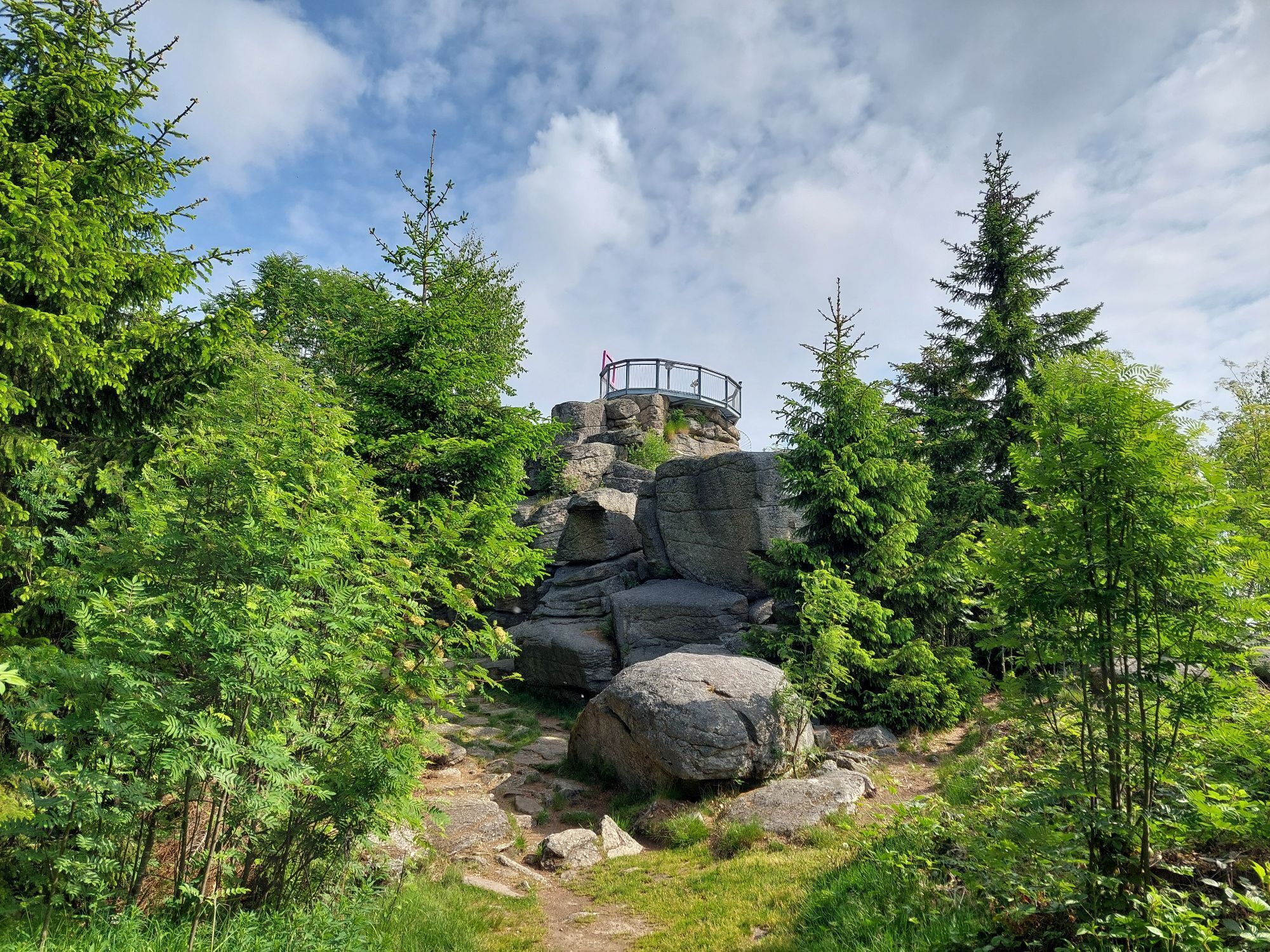
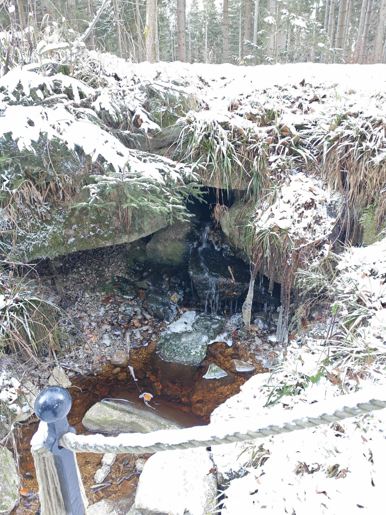

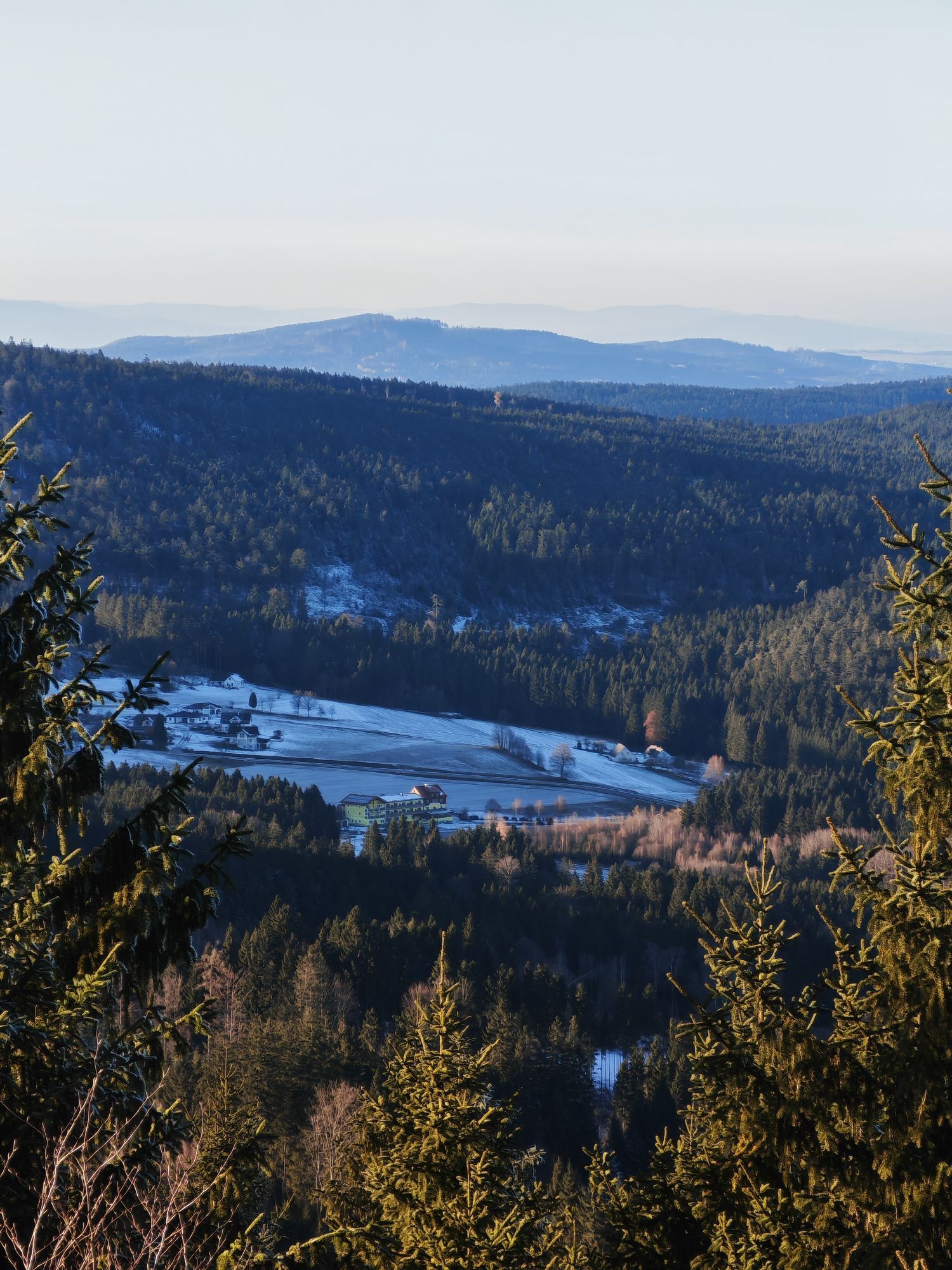
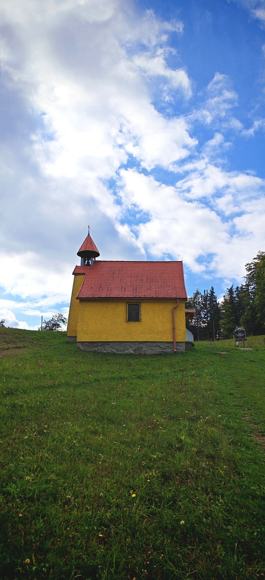
Route: From the town center in Inzell we ride past the Frauenkirche Niederachen and the Inzeller Moor. Via Hammer and Heutau it goes through the valley of the Rote Traun towards Siegsdorf. We follow the...
Route: From the town center in Inzell we ride past the Frauenkirche Niederachen and the Inzeller Moor. Via Hammer and Heutau it goes through the valley of the Rote Traun towards Siegsdorf. We follow the brine pipeline and shortly before Siegsdorf turn right to Neukirchen. On beautiful side roads but constantly slightly uphill-downhill it continues to Teisendorf. Now we cycle to Höglwörth, through the village of Anger, further along the Stoißer Ache until after the district of Kohlhäusl the path turns into a forest road. At 964m we reach the highest point between Anger and Inzell. From here it only rolls downhill to Adlgaß and further to the town center of Inzell. Special features: Whether the church of St. Johann, the Höglwörther See, or the former Augustinian canons' monastery Höglwörth... the beautiful but demanding tour offers diverse sights. Refreshments: In Anger, Teisendorf, Neukirchen, Heutau, Hammer and Inzell you will find many places to eat. Tip: If you have the stamina, a detour to the idyllically located Frillensee is worthwhile.



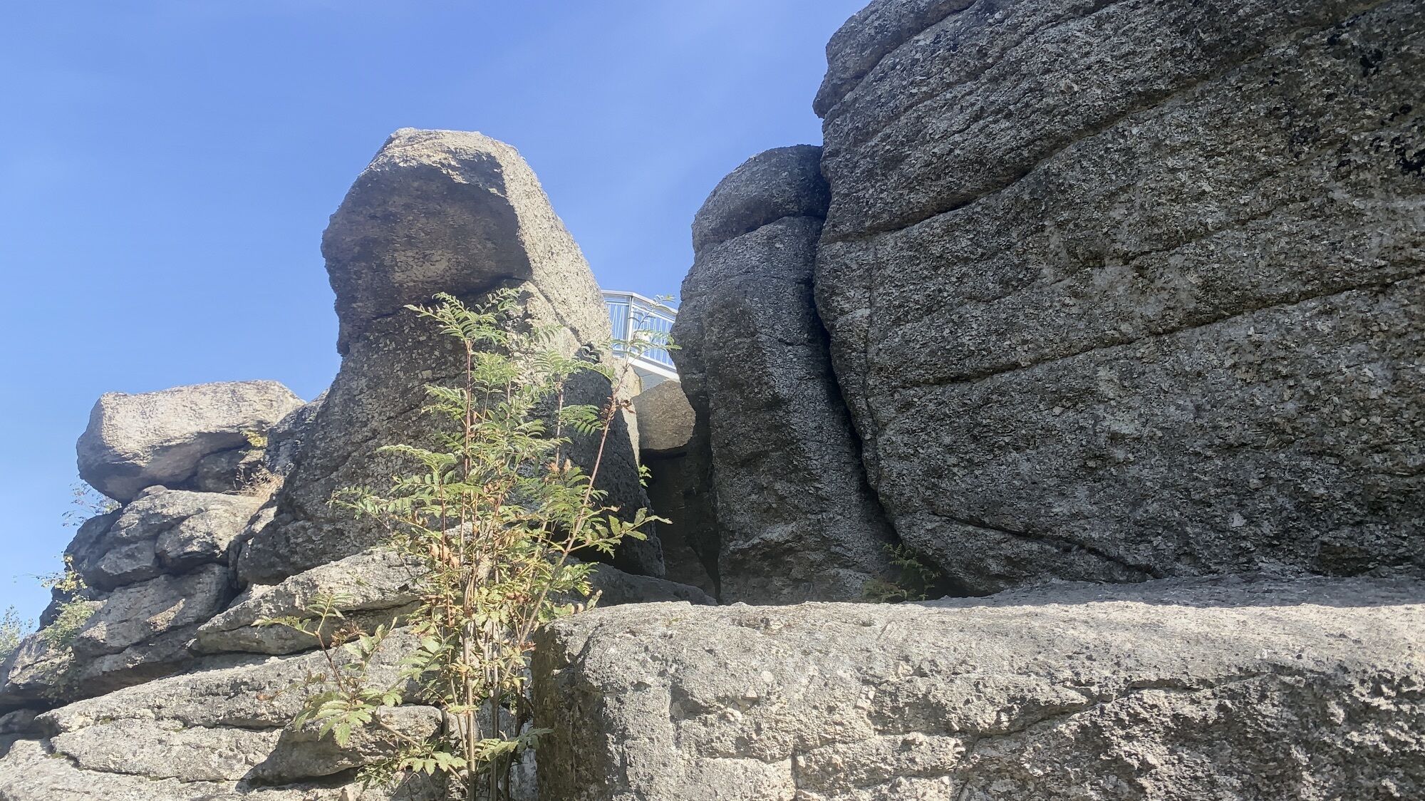
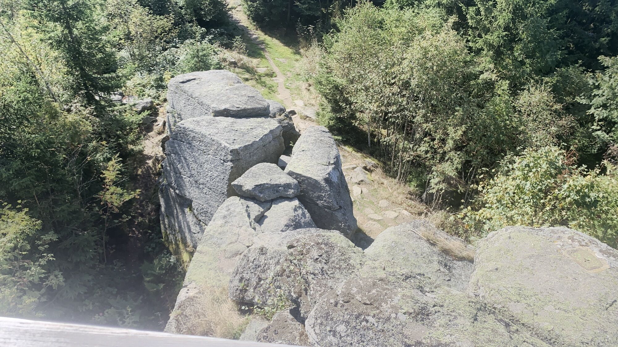
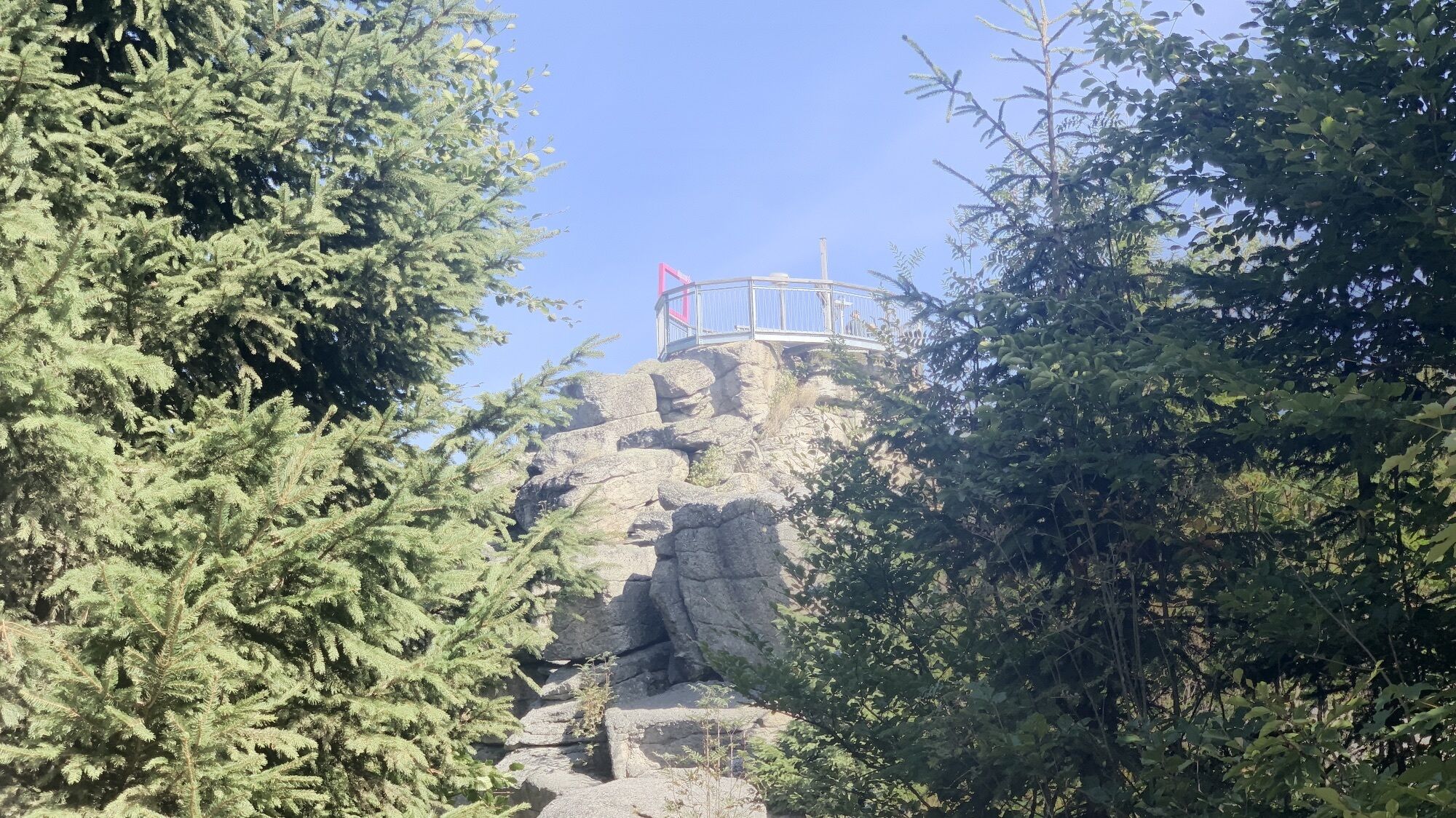
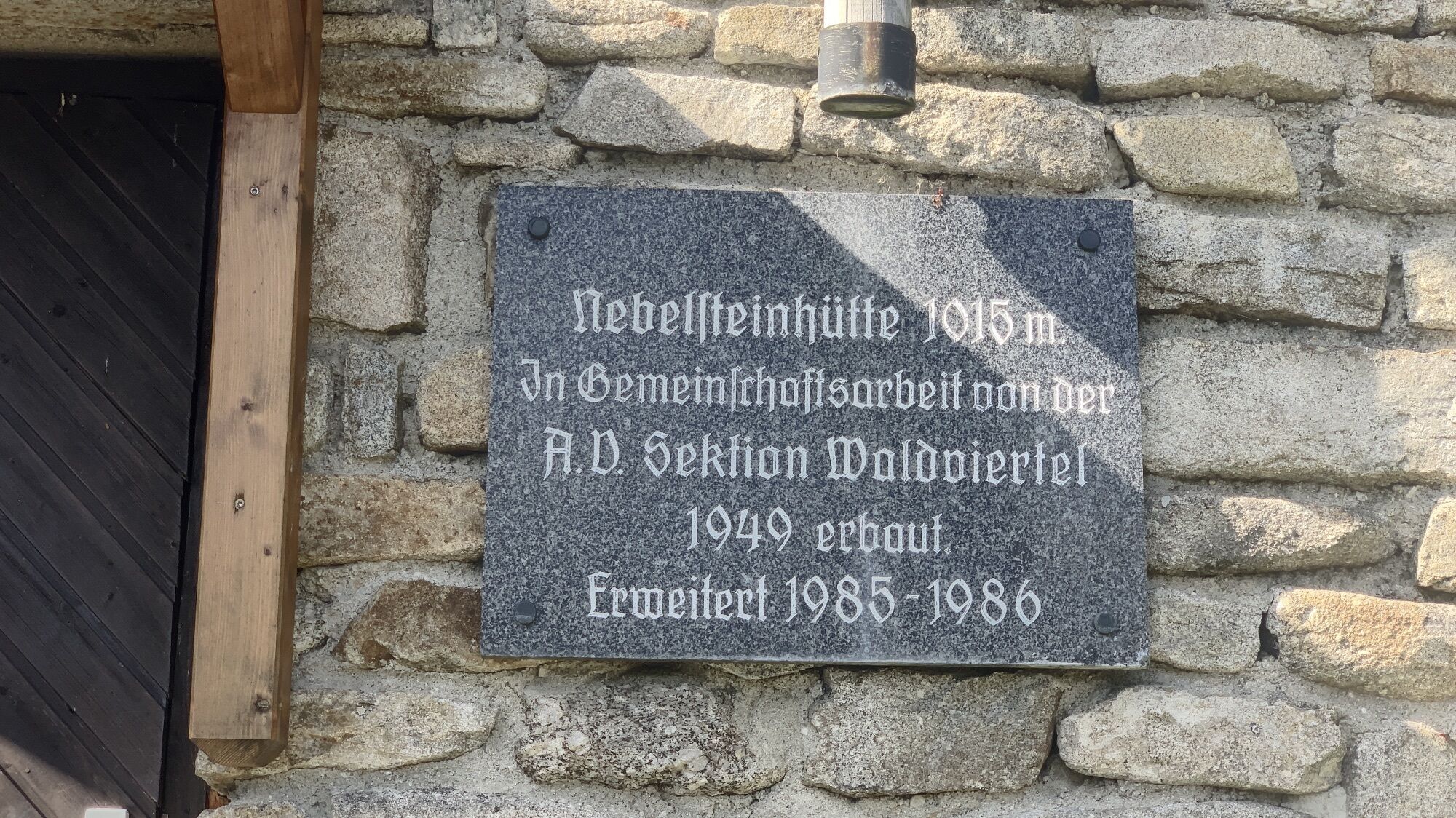
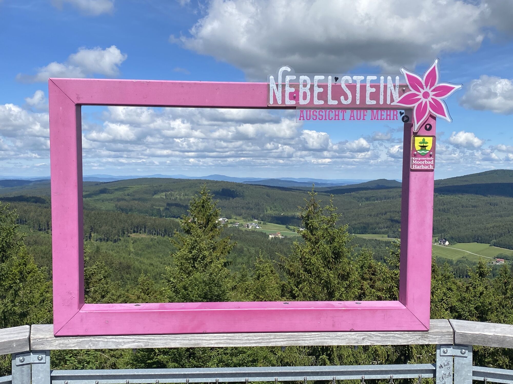
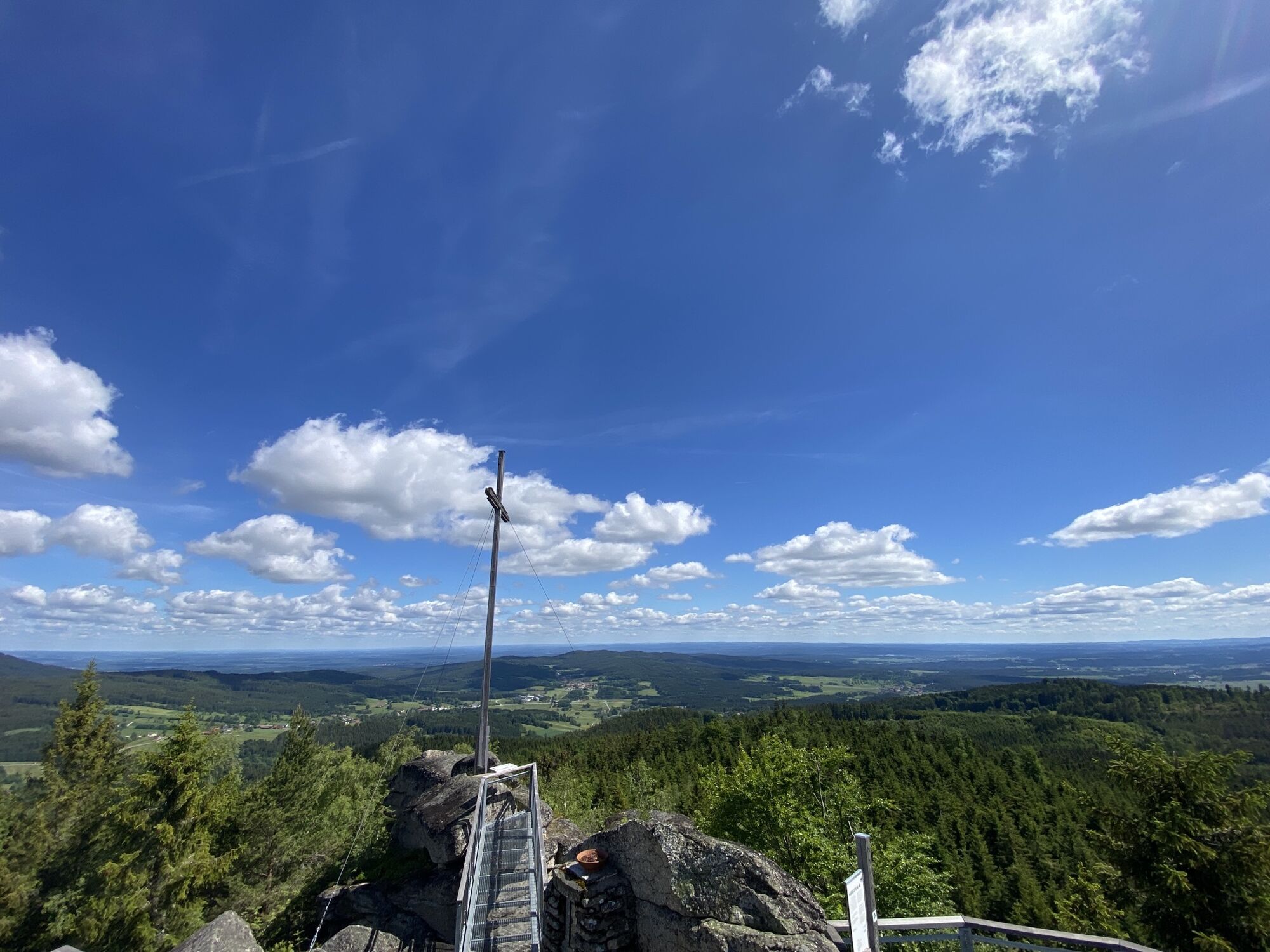
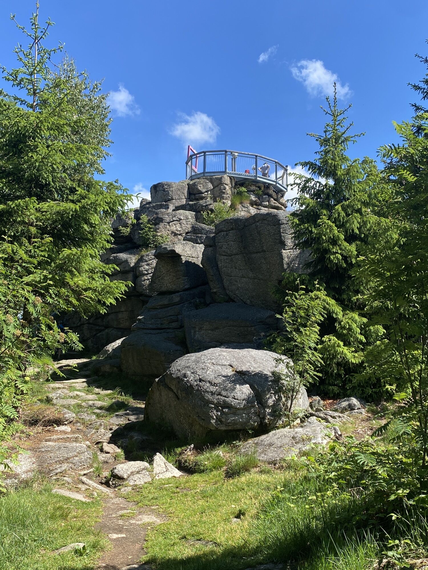
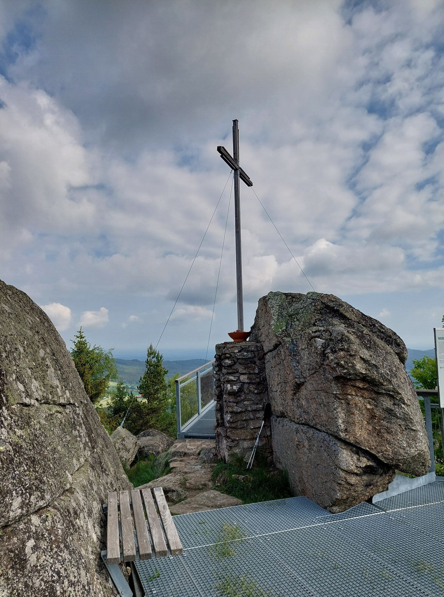
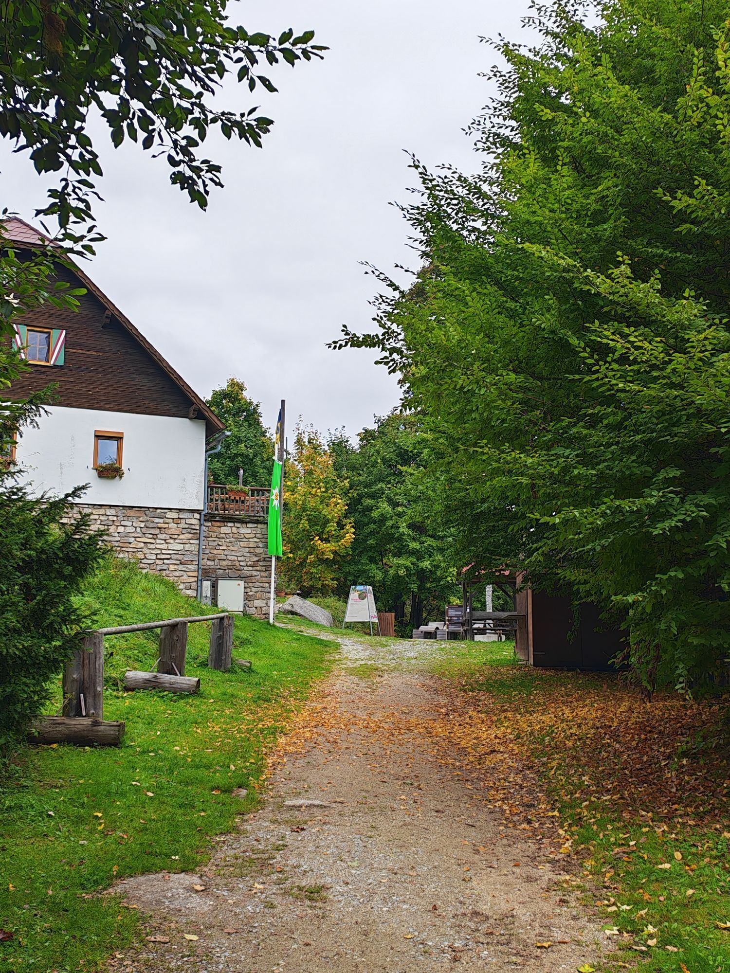
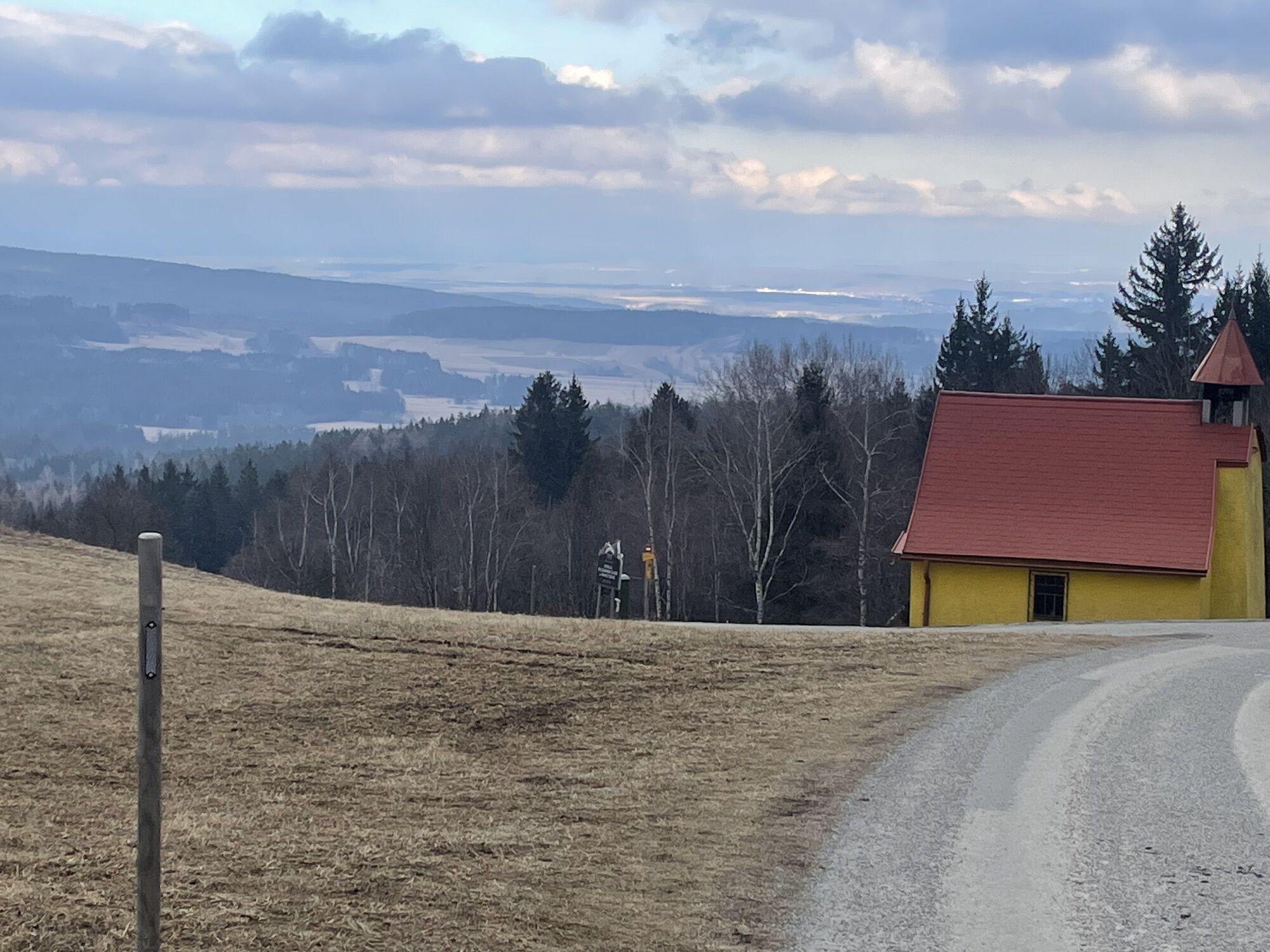
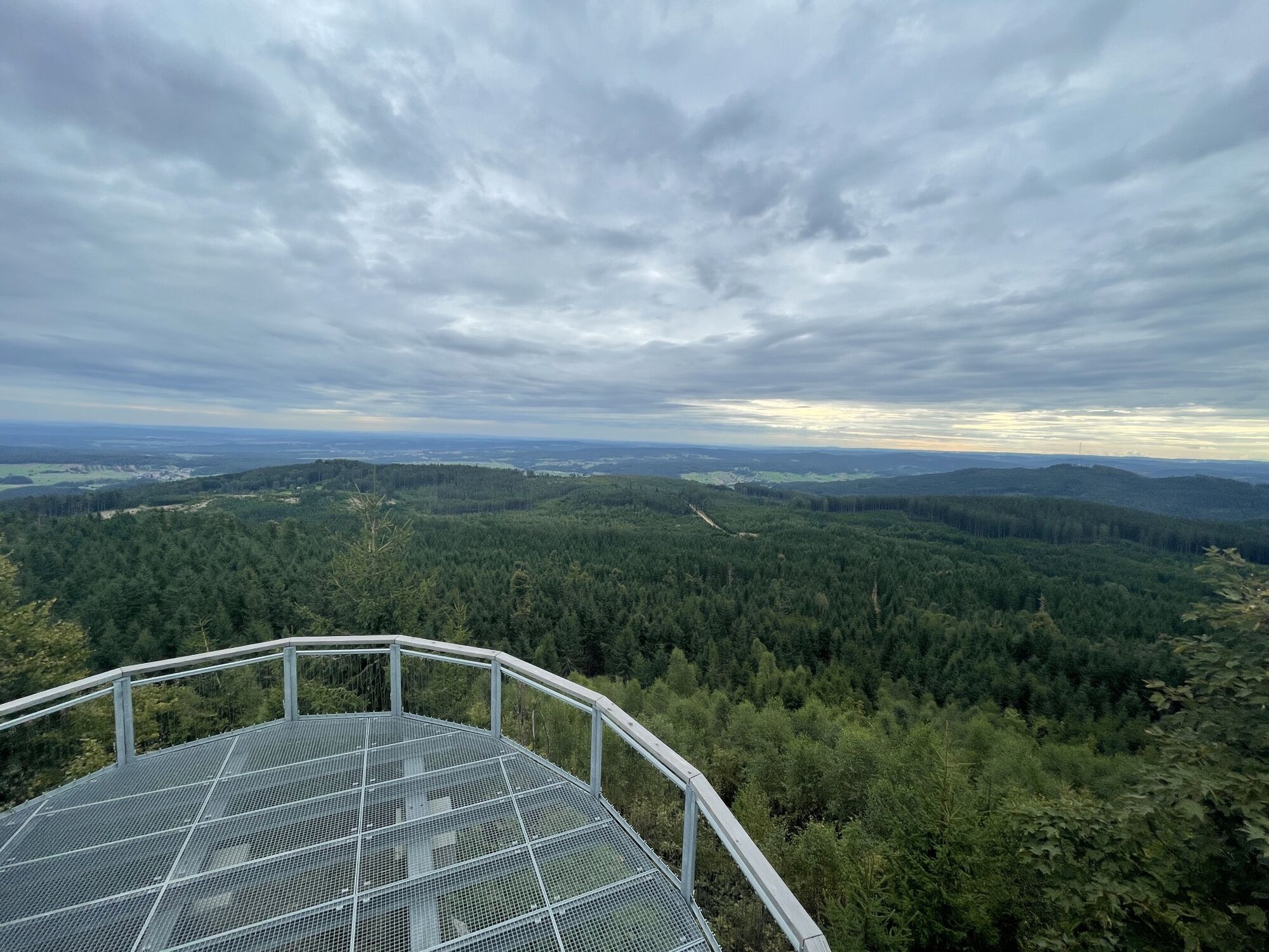
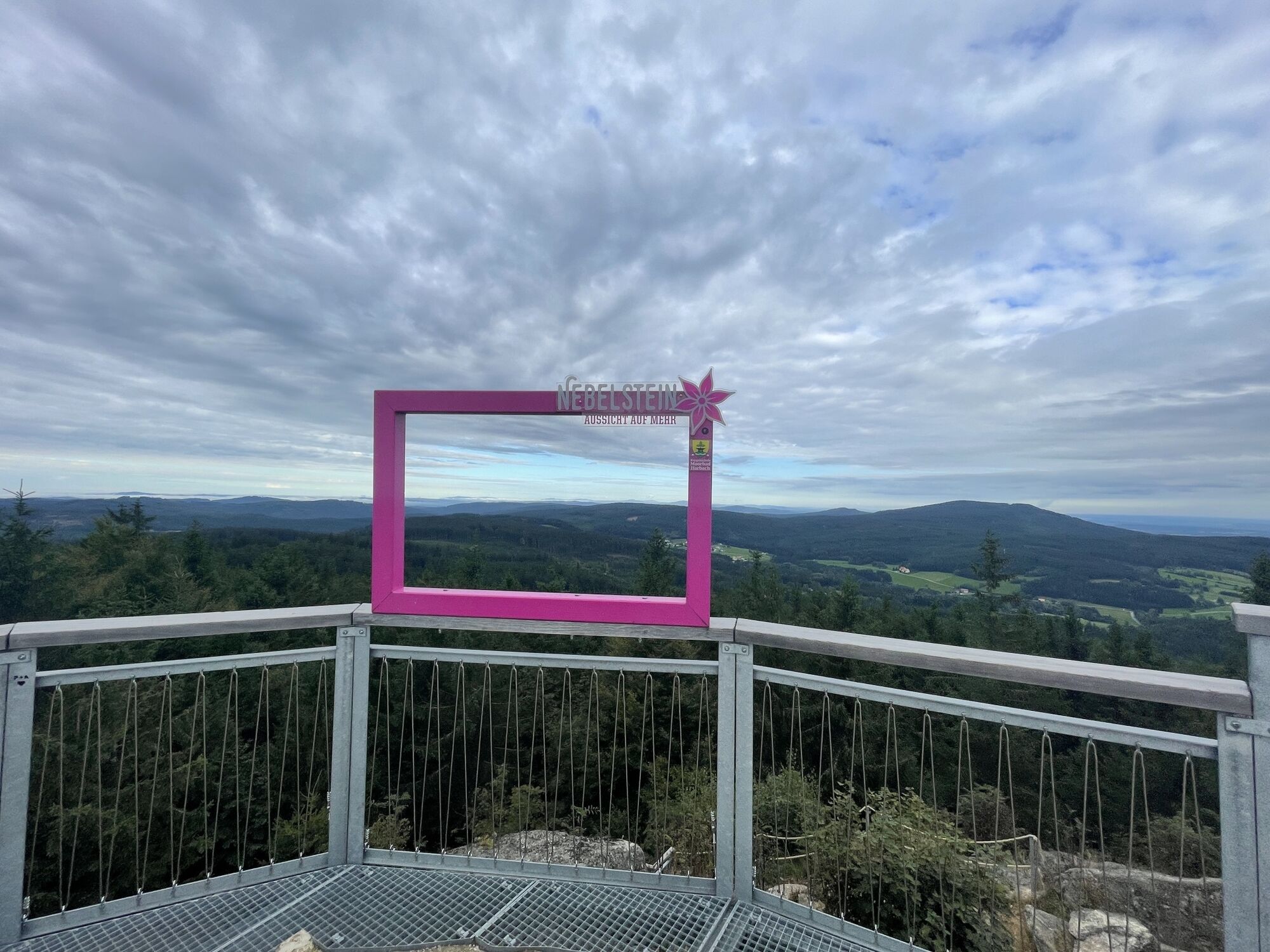
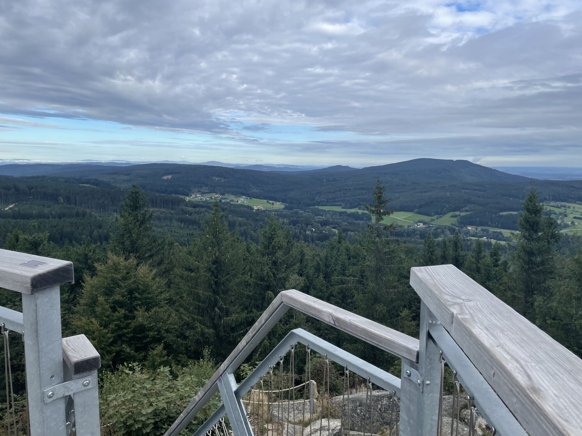
Vor dem Stadttor steigern wir ein auf die Lainsitstrecke deren Verlauf wir über Tiefenbach über Feldwege weiter nach Reinprechts folgen.Von dort folgen wir der Lainsitzstrecke über Wultschau in Richtung Roßbruck, wo wir nach Kilometer 10 scharf nach rechts Abzweigen und entgegen der Nebelsteinstrecke uns über Obermaißen dem Ziel dem Nebelstein emporstrampeln.
10,7 km Asphalt und 4,3 km Forststraßen
Waldviertel Tourismus
3910 Zwettl, Sparkassenplatz 1/2/2
(T) +43 2822 54109
(E) info@waldviertel.at
(I) www.waldviertel.at
Pridobite vpogled
Vedno v živo na mestu z več kot 9.500 spletnimi kamerami. bergfex Kot uporabnik Pro si lahko zdaj ogledate ustrezne spletne kamere za številne izlete v aplikaciji izleti iz. Tako si lahko neposredno ogledate trenutne razmere.
Priljubljeni izleti v okolici
-
4.5
Nebelstein Adventure Hiking Trail
srednjaPohodništvo 11.1 km -
4.5
Mandelstein von Moorbad aus
svetlobaPohodništvo 9.47 km -
4.8
Nebelsteinweg
Pohodništvo 6.98 km -
4.1
Naturparkweg Bad Großpertholz
svetlobaPohodništvo 7.17 km -
4.9
Mandlstein Heinrichs bei Weitra Erlebnisweg
svetlobaPohodništvo 13.1 km -
3.3
Zwei-Tausender-Tour Tischberg-Eichelberg
svetlobaPohodništvo 12.4 km -
4.4
Nebelstein vom Moorheilbad
srednjaPohodništvo 12.9 km -
4.8
4-Berge Marsch Mandelstein - Nebelstein - Wachberg - Johannesberg
Pohodništvo 30.8 km -
4.0
Nordwaldstrecke
Mountainbike 25.1 km -
5.0
My route to happiness
srednjaTematska pot 4.30 km
Pohodništvo in sledenje


Ne zamudite ponudb in navdiha za naslednje počitnice
Vaš e-poštni naslov je bil dodan na poštni seznam.





