


Hochkar summit route
Stopnja težavnosti: 2
Fotografije naših uporabnikov
-
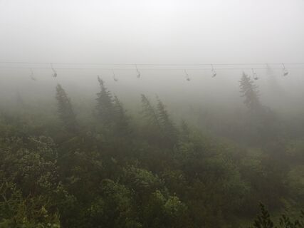
 © Raphael WimmerUstvarjeno na 06.11.2023
 -
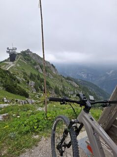
 © Filip TesarčíkUstvarjeno na 05.09.2023
 -
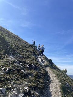
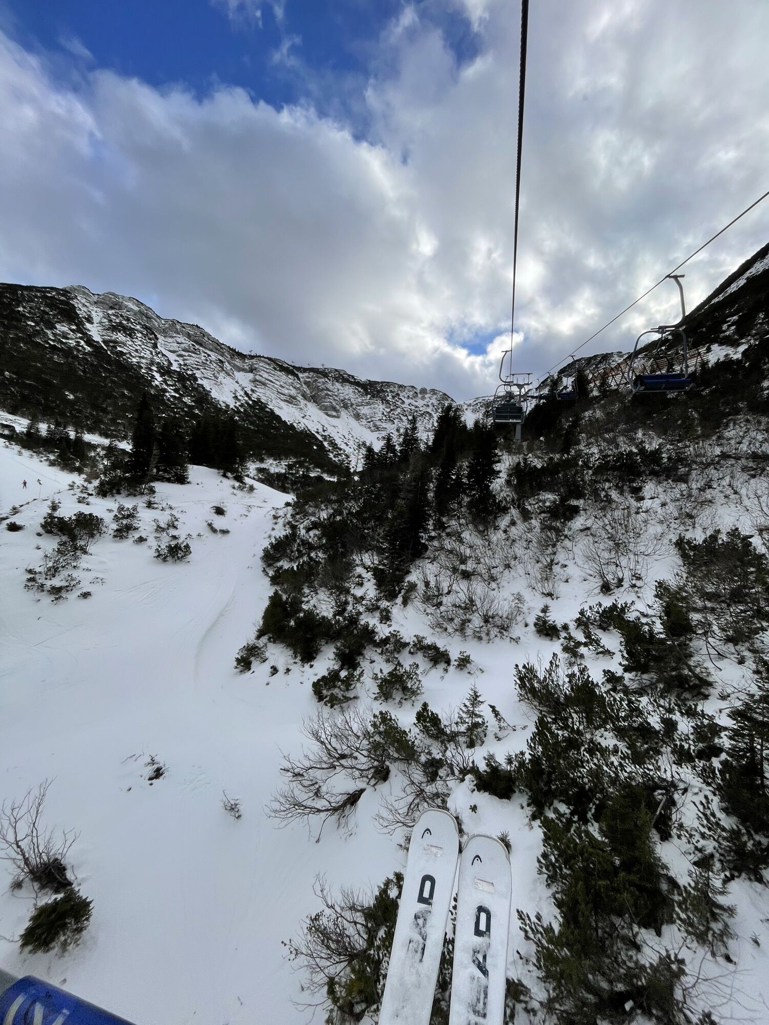
 © Andrej AndilUstvarjeno na 14.03.2026
 -

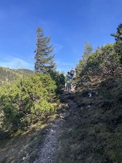
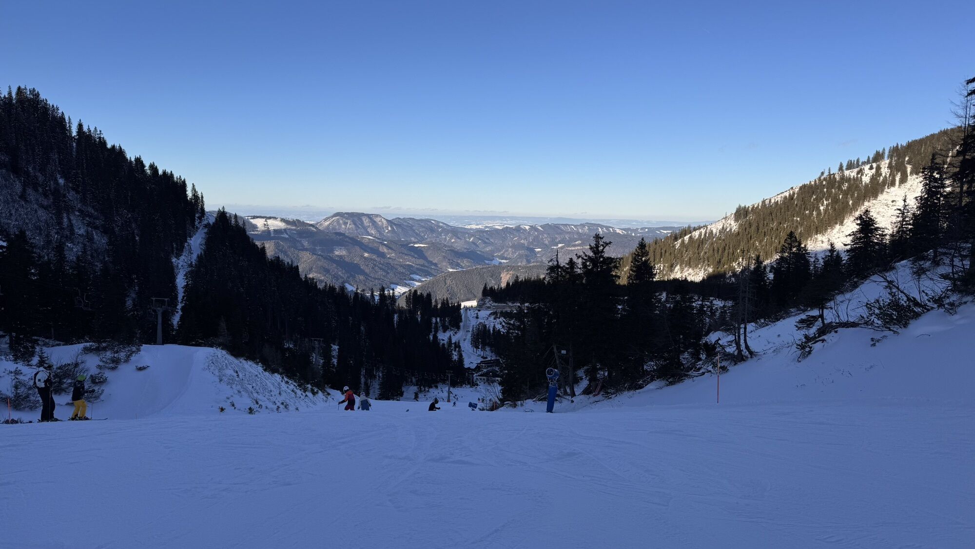
 © Petra RieglerUstvarjeno na 05.03.2026
 -
 © Viktoria ZabojnikovaUstvarjeno na 28.02.2026
 -
 © HJBUstvarjeno na 09.02.2026
 -
 © HJBUstvarjeno na 09.02.2026
 -
 © Maximilian Müller 8Ustvarjeno na 06.02.2026
 -
 © Maximilian Müller 8Ustvarjeno na 06.02.2026
 -
 © Maximilian Müller 8Ustvarjeno na 04.02.2026
 -
 © Marco AlfterUstvarjeno na 03.01.2026
 -
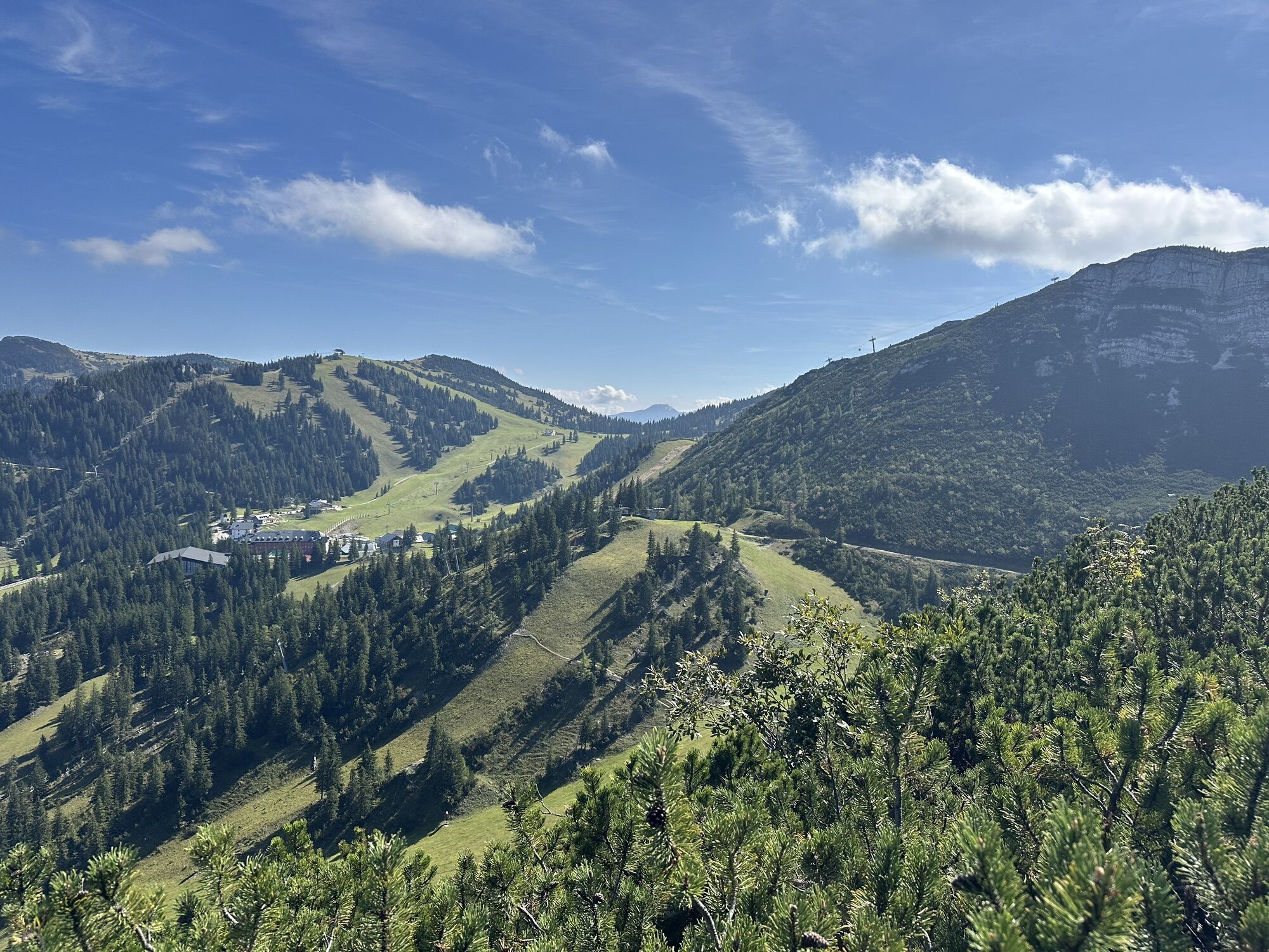
 © Philipp RafelsbergerUstvarjeno na 09.09.2025
 -
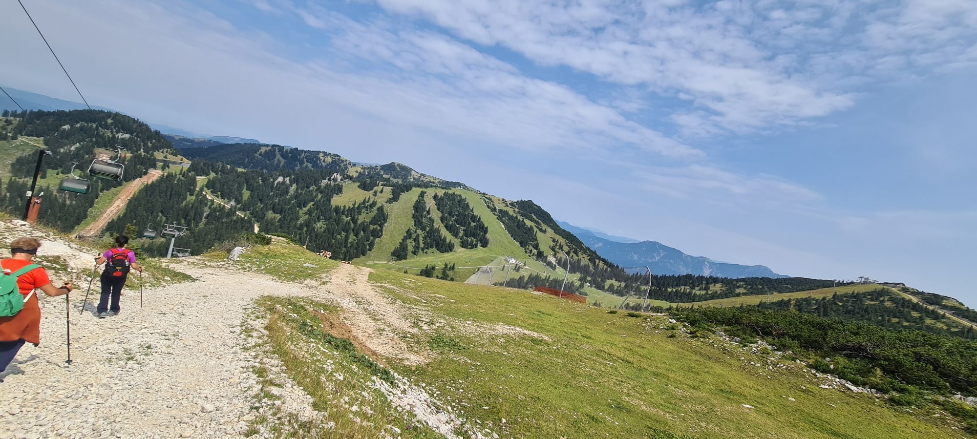
 © Philipp RafelsbergerUstvarjeno na 09.09.2025
 -

 © Monika RöskaUstvarjeno na 27.08.2025
 -
 © Monika RöskaUstvarjeno na 27.08.2025
 -
 © Monika RöskaUstvarjeno na 27.08.2025
 -
 © Monika RöskaUstvarjeno na 27.08.2025
 -
 © Monika RöskaUstvarjeno na 27.08.2025
 -
 © Da LinkUstvarjeno na 15.08.2025
 -
 © Da LinkUstvarjeno na 15.08.2025
 -
 © Da LinkUstvarjeno na 15.08.2025
 -
 © Da LinkUstvarjeno na 15.08.2025
 -
 © Da LinkUstvarjeno na 15.08.2025
 -
 © Raphael RiedlerUstvarjeno na 10.07.2025
 -
 © Raphael RiedlerUstvarjeno na 10.07.2025
 -
 © Gottfried GanserUstvarjeno na 20.06.2025
 -

 © Markus Lechner 3Ustvarjeno na 14.05.2025
 -
 © Markus Lechner 3Ustvarjeno na 14.05.2025
 -
 © Markus Lechner 3Ustvarjeno na 14.05.2025
 -
 © Markus Lechner 3Ustvarjeno na 14.05.2025
 -
 © BButchUstvarjeno na 09.03.2025
 -
 © BButchUstvarjeno na 09.03.2025
 -
 © BButchUstvarjeno na 09.03.2025
 -
 © BButchUstvarjeno na 09.03.2025
 -
 © BButchUstvarjeno na 08.03.2025
 -
 © BButchUstvarjeno na 08.03.2025
 -
 © Florian GerlUstvarjeno na 06.10.2024
 -
 © Florian GerlUstvarjeno na 06.10.2024
 -
 © Florian GerlUstvarjeno na 06.10.2024
 -
 © Florian GerlUstvarjeno na 06.10.2024
 -
 © Florian GerlUstvarjeno na 06.10.2024
 -
 © Florian GerlUstvarjeno na 06.10.2024
 -
 © Florian GerlUstvarjeno na 06.10.2024
 -
 © Florian GerlUstvarjeno na 06.10.2024
 -

 © Klaus LehnerUstvarjeno na 02.03.2024


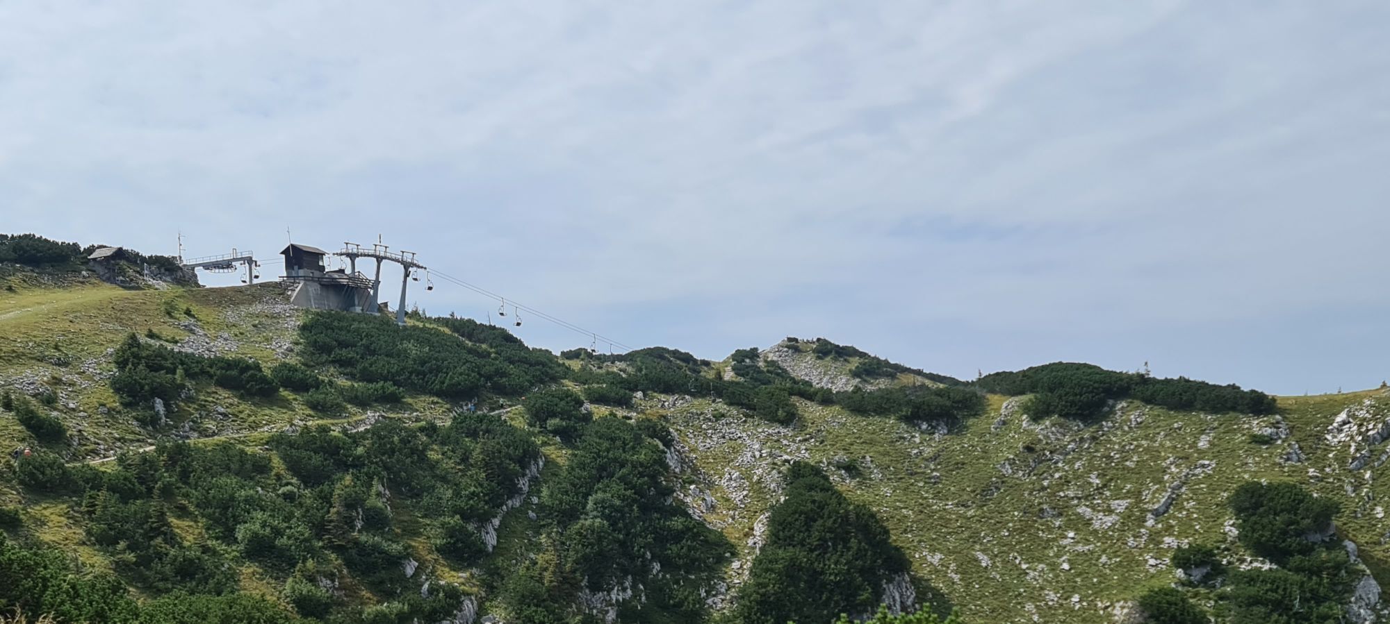

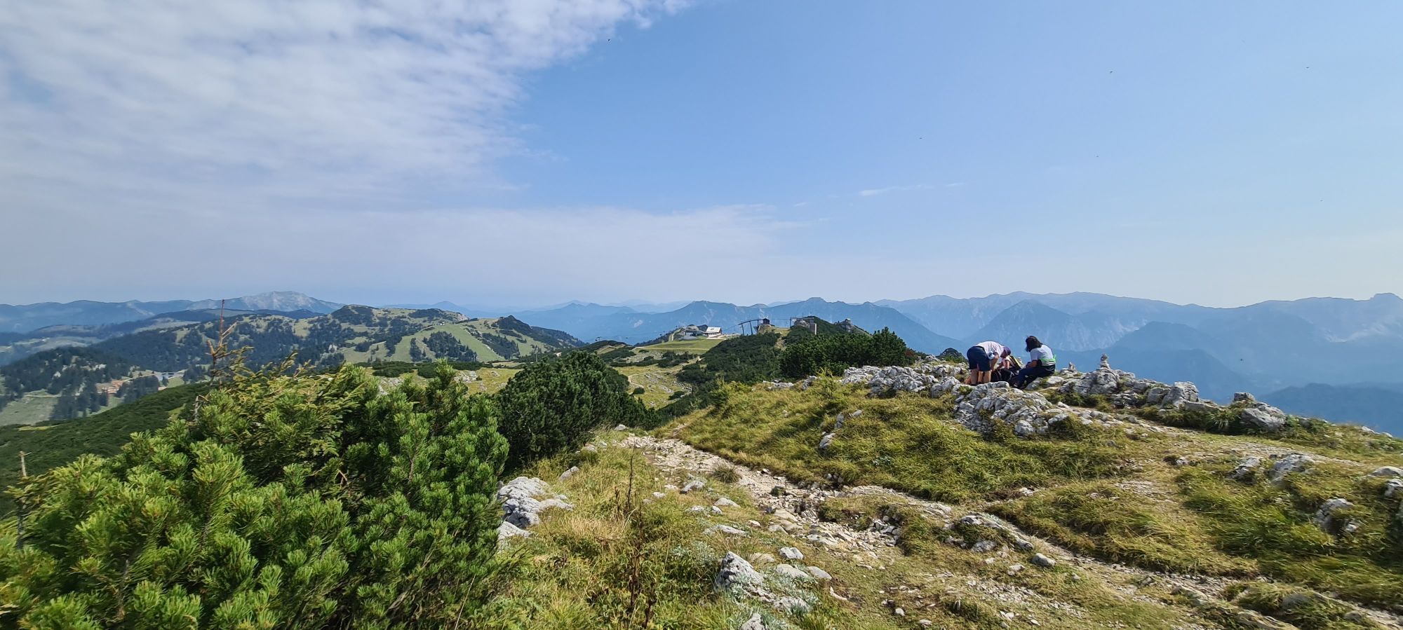
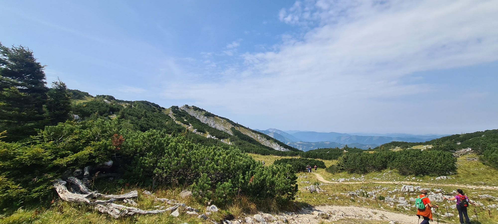
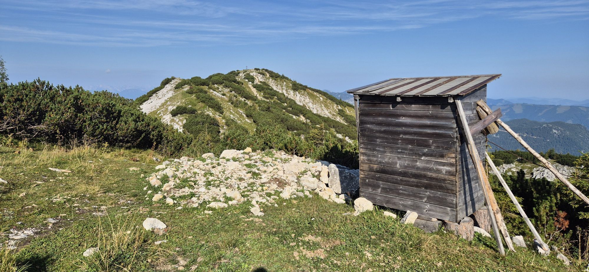
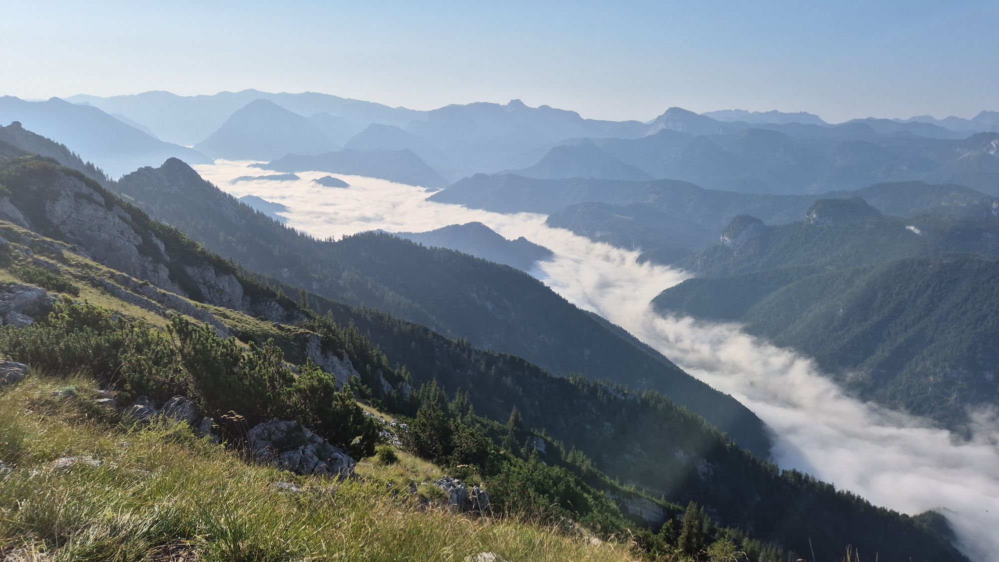
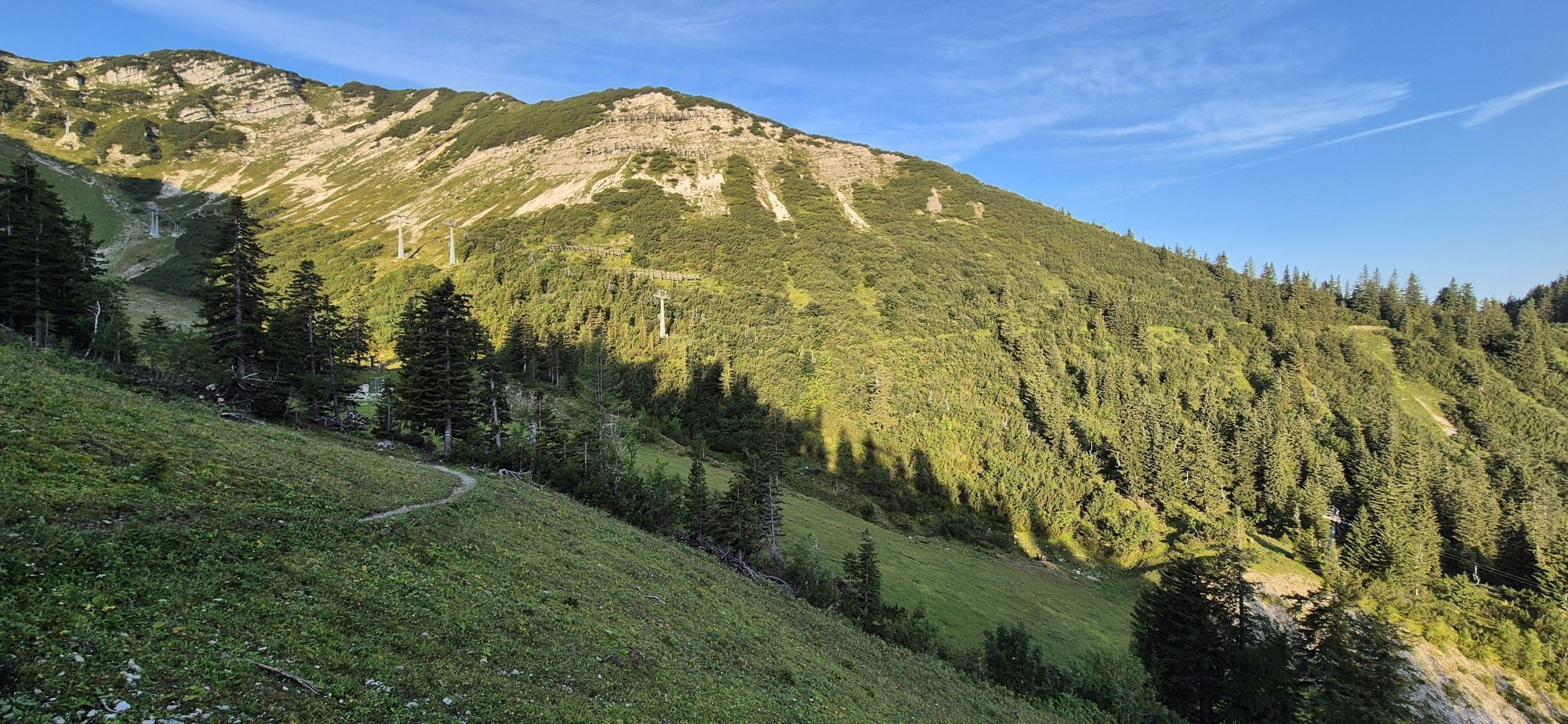


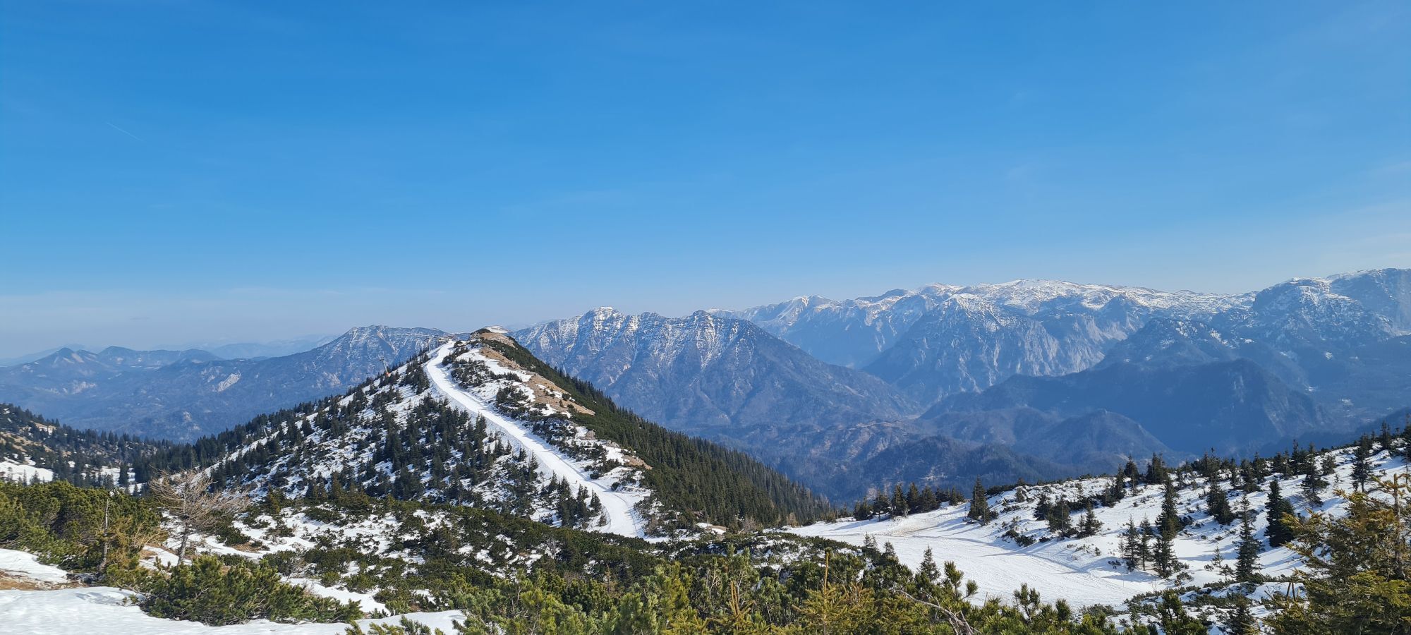


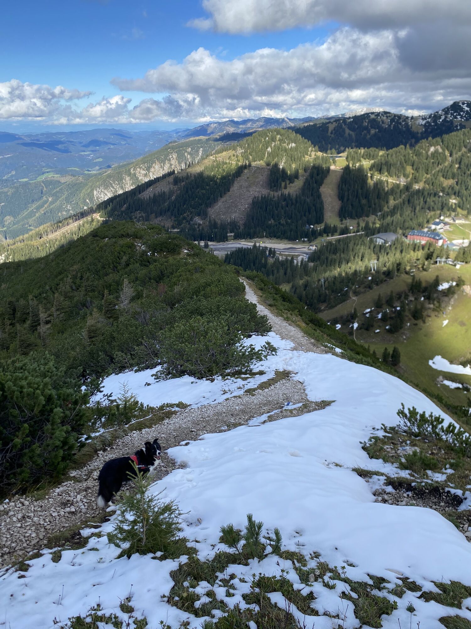


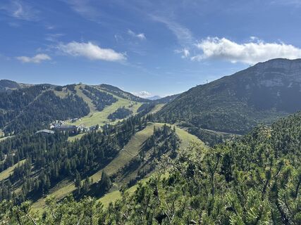
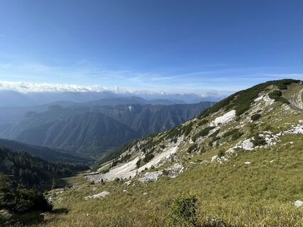
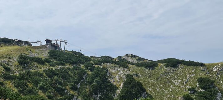
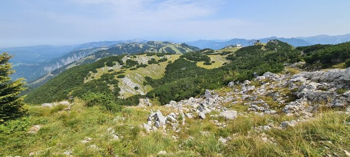
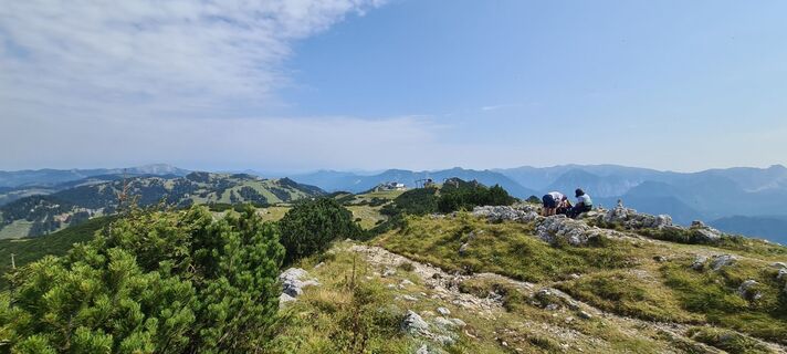
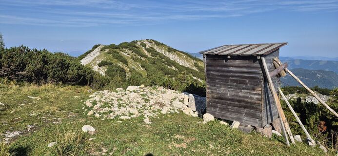
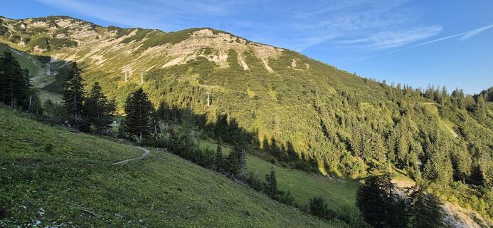
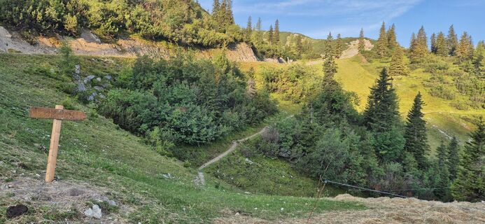
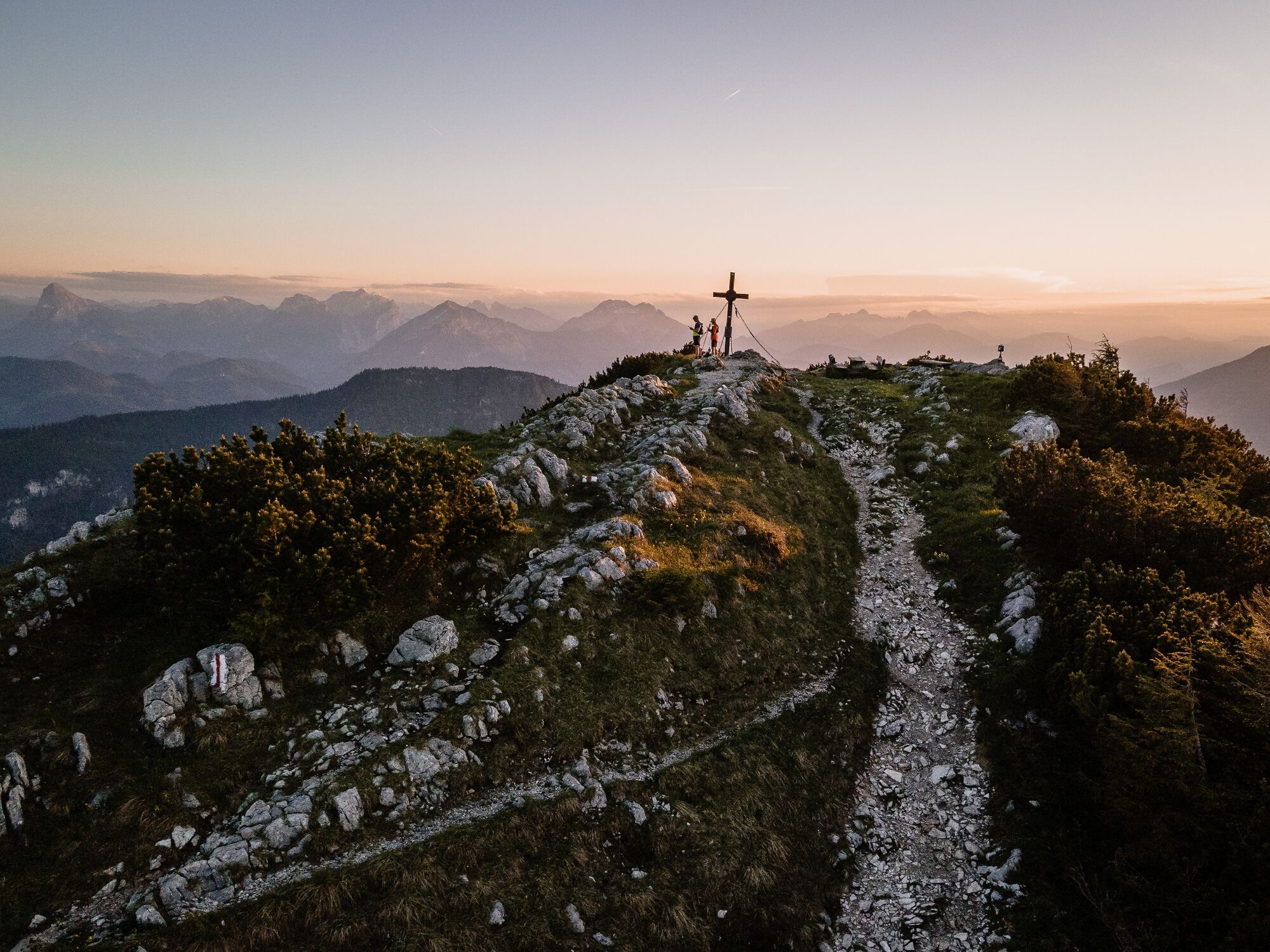
Behind the alpine inn, a single trail winds steeply upwards in a southerly direction. Over several sections, you reach the mountain hut. Now follow the ridge path westwards and reach the summit of the...
Behind the alpine inn, a single trail winds steeply upwards in a southerly direction. Over several sections, you reach the mountain hut. Now follow the ridge path westwards and reach the summit of the Hochkar on rolling terrain. On the way back, follow the ascent path or turn left after a few hundred metres towards the north onto the trail that leads to the Scheinecksattel and back to the starting point.

Da
Trailrunning shoes, possibly poles. Trailrunning backpack with provisions and first aid kit, rescue blanket, mobile phone, rain and sun protection.
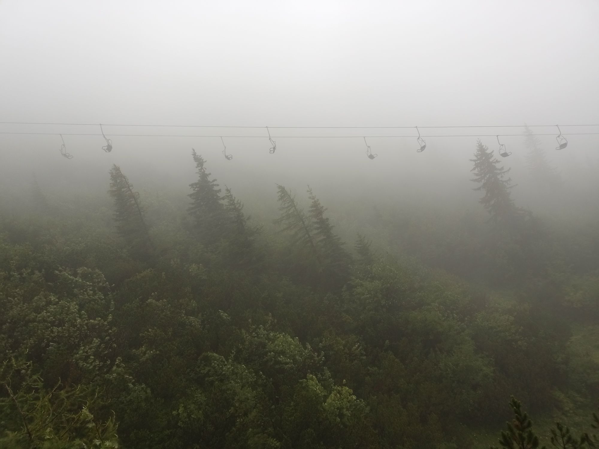
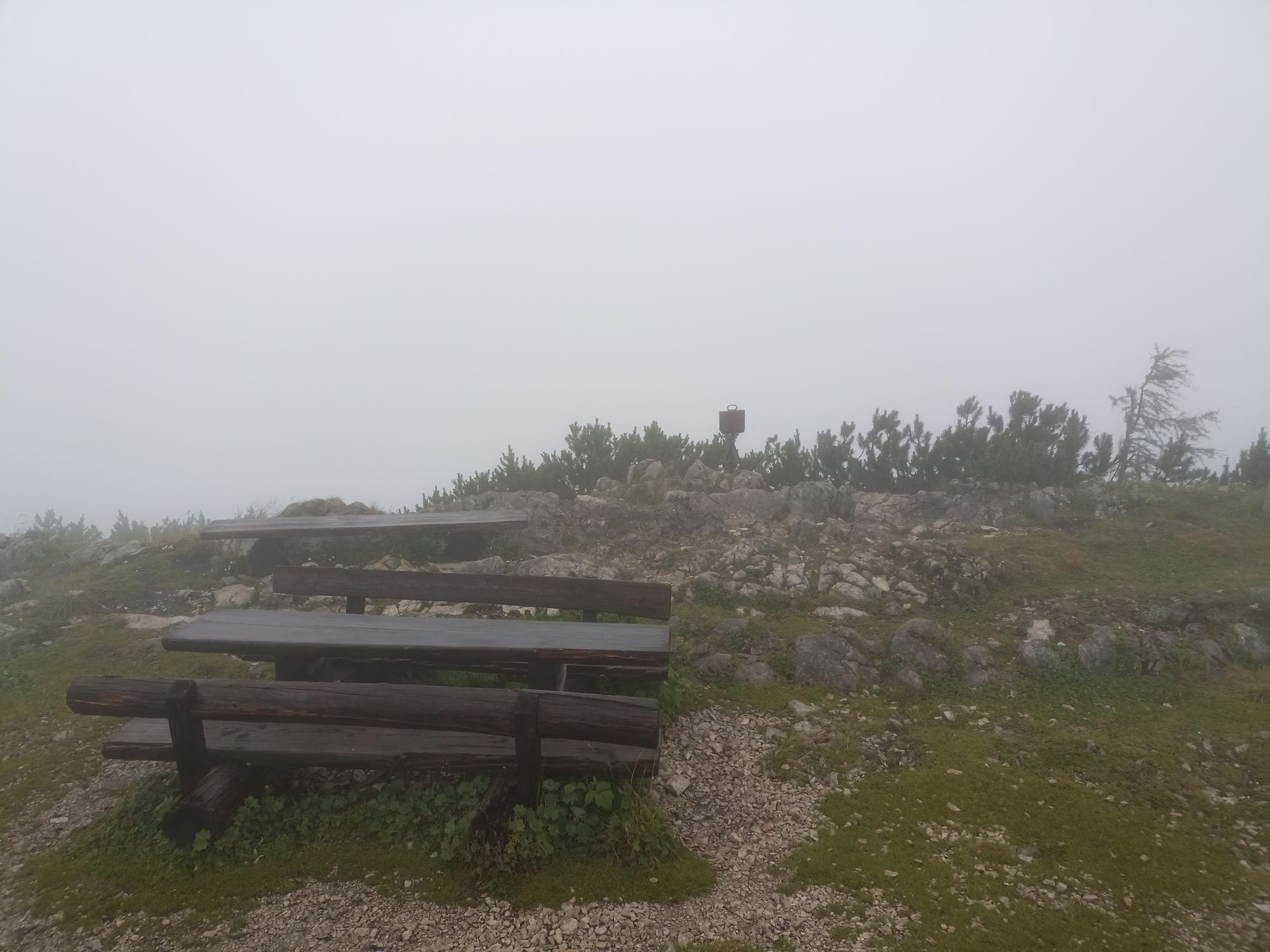
High alpine terrain!
1. Please avoid the trails during night and twilight hours (animal feeding search).
2. Behave quietly and cautiously, avoid contact with grazing livestock.
3. Show consideration for flora and fauna and treat the people working here, nature and animals with respect.
4. Observe general warning signs (e.g. restricted area boards). Fences must be respected and gates closed again.
5. Caution in extreme weather, seek shelter or turn back if necessary.
6. Please take your rubbish back with you.
Göstling - Lassing - Hochkar alpine road, 9km, max. 17%
VOR line to the Hochkar
fee required Hochkar valley station
2
Tourism Association Ybbstaler Alps
Göstling 46/2
3345 Göstling an der Ybbs
www.ybbstaler-alpen.at/trailrunning
info@ybbstaler-alpen.at
43-5-93049
Take time for a small additional loop on the Hochkar sky route!
Priljubljeni izleti v okolici
-
4.5
Hochkar - Schmalzmauer - Geißhöhe - Ringkogel - Schwarzalmhütte - Brunneckerhütte
srednjaPohodništvo 13.2 km -
4.9
Kurzeck- Siebenhütten- Turnhöhe- Kitzhütte Göstling an der Ybbs, Österreich
svetlobaPohodništvo 12.8 km -
4.6
Lechner Graben - Ybbstaler Hütte
srednjaPohodništvo 14.2 km -
4.4
Palfauer Wasserlochklamm
srednjaPohodništvo 1.78 km -
3.8
HOCHKAR Parkplatz Blachlboden Leckerplan Geischlägerhaus Hochkar Scheinecksttl. ret. 23.08.2018
svetlobaPohodništvo 8.30 km -
4.1
Hollenstein Stupfmauer Voralpe Tanzboden retour 20.08.2016
srednjaPohodništvo 15.6 km -
4.4
Gamsstein, Hollenstein/Ybbs
srednjaPohodništvo 14.1 km -
3.6
Von Lassing auf das Hochkar 18.07.2015
srednjaPohodništvo 10.3 km -
4.8
Göstling a.d. Ybbs. Kogler Wasserfälle Rundweg
svetlobaPohodništvo 5.23 km -
3.8
Göstling - Siebenhütten - Kitzhütte
srednjaMountainbike 45.0 km

Pohodništvo in sledenje


Ne zamudite ponudb in navdiha za naslednje počitnice
Vaš e-poštni naslov je bil dodan na poštni seznam.