


Alpine tour: Hochkar - Dürrenstein - Ötscher
Fotografije naših uporabnikov
-

 © Loris PalmbergerUstvarjeno na 16.04.2025
 -
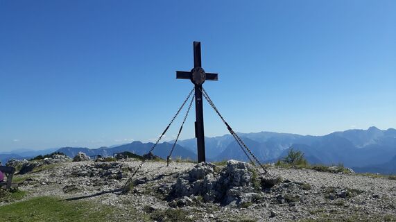
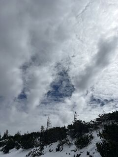
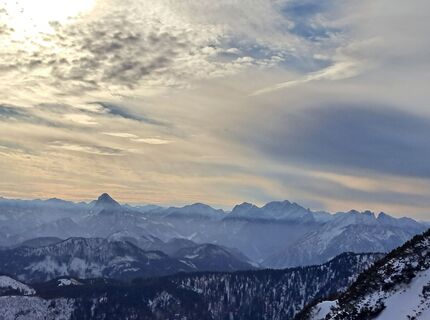
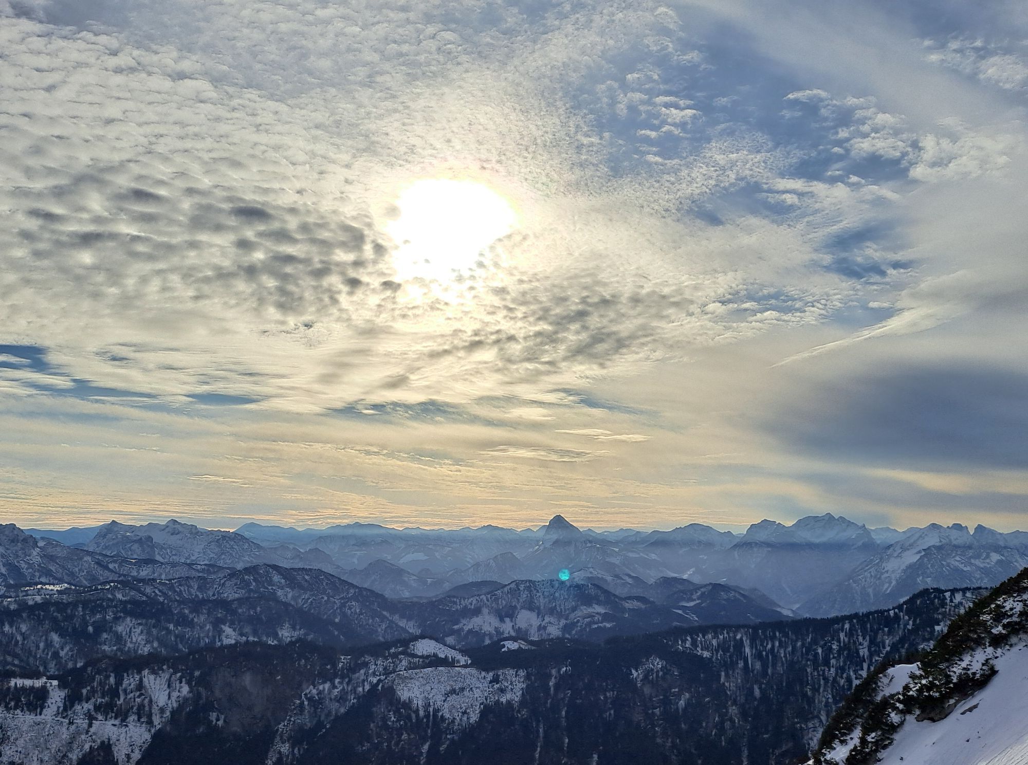
 © Christian2012655Ustvarjeno na 14.06.2025
 -
 © Christian2012655Ustvarjeno na 14.06.2025
 -

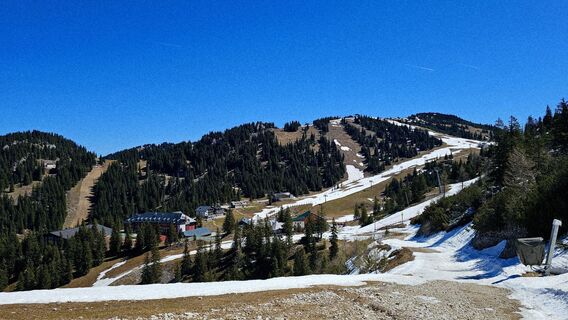
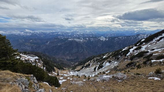
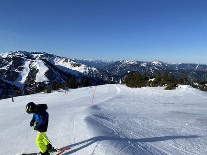
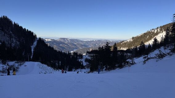
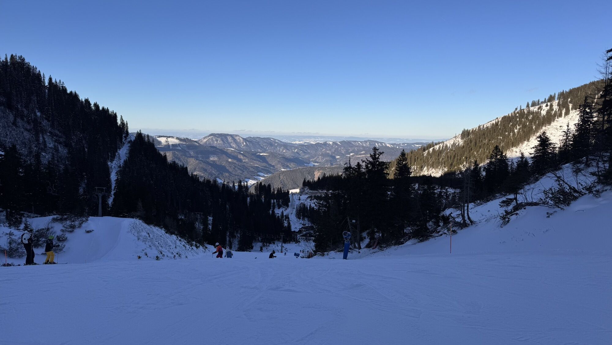
 © BHC84Ustvarjeno na 13.05.2025
 -
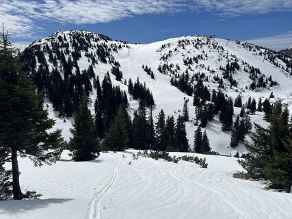
 © BHC84Ustvarjeno na 13.05.2025
 -
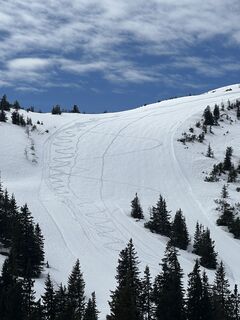
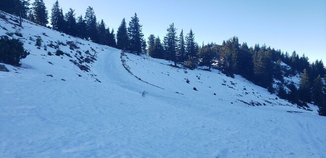
 © BHC84Ustvarjeno na 13.05.2025
 -
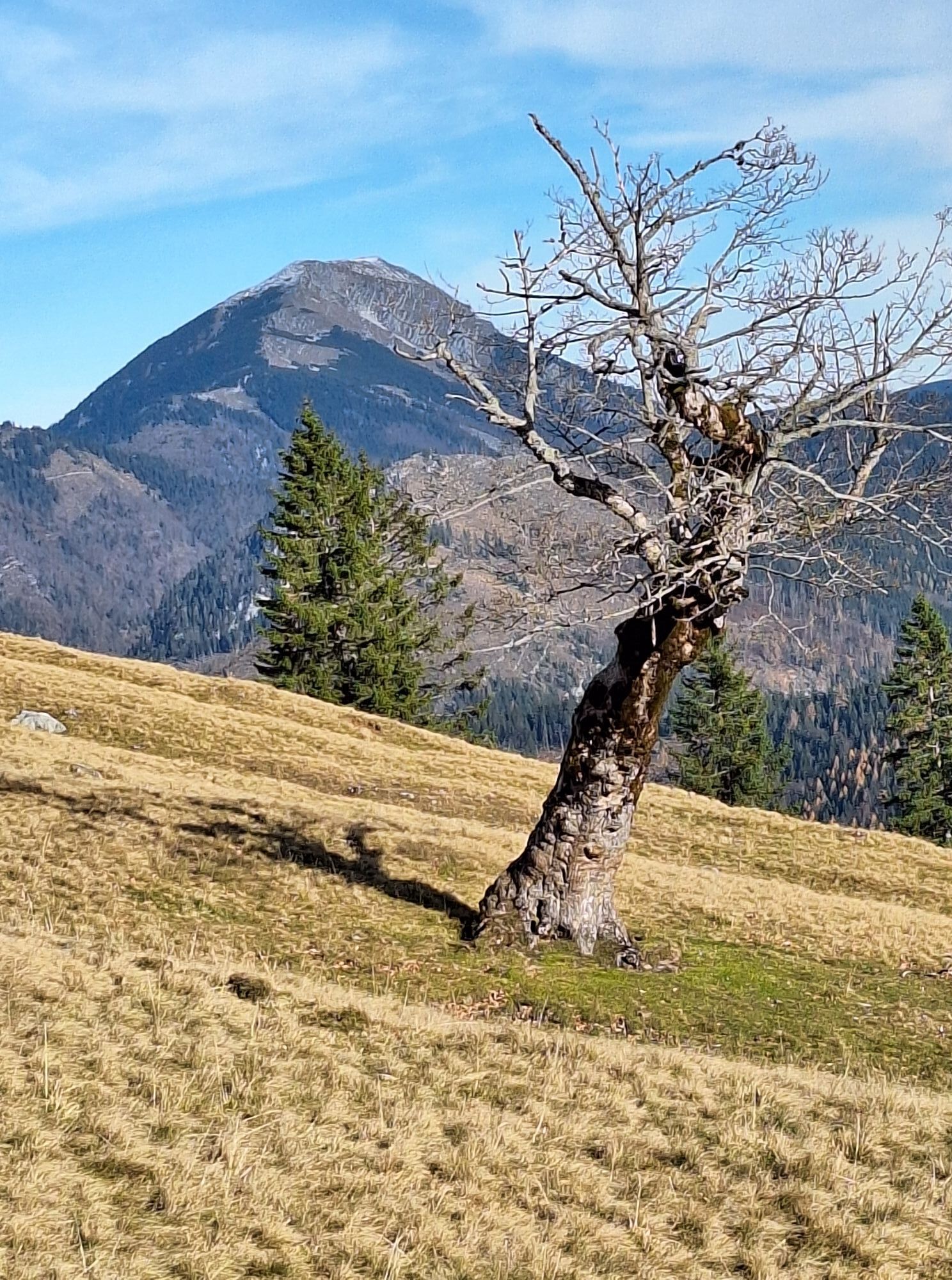
 © Loris PalmbergerUstvarjeno na 16.04.2025
 -
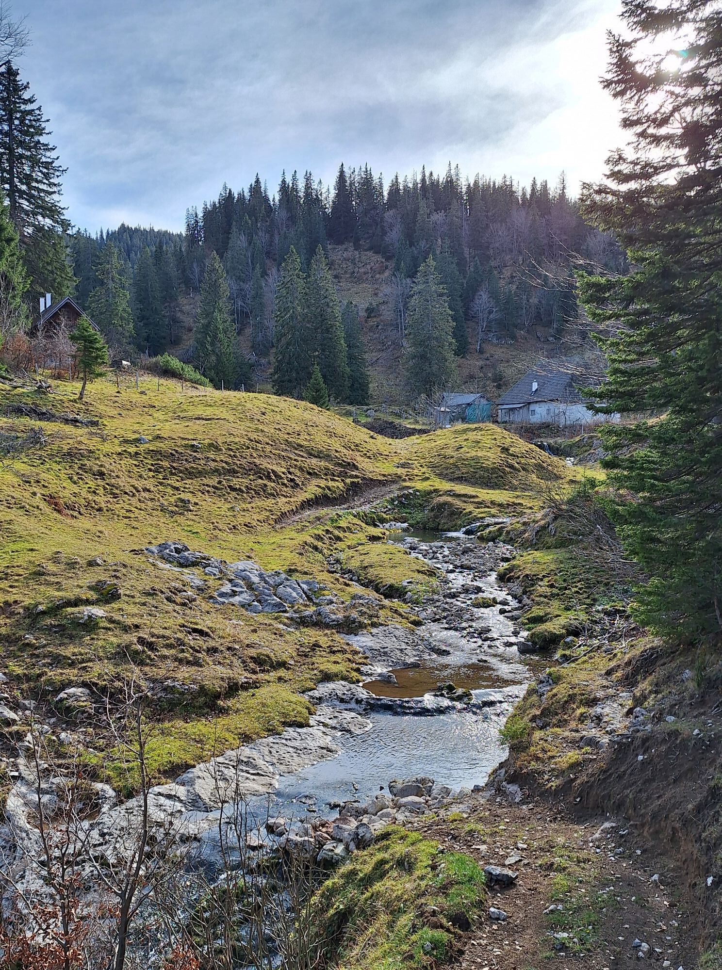
 © Christian2012655Ustvarjeno na 10.11.2024
 -
 © Christian2012655Ustvarjeno na 10.11.2024
 -
 © Christian2012655Ustvarjeno na 10.11.2024
 -
 © Christian2012655Ustvarjeno na 10.11.2024
 -
 © Christian2012655Ustvarjeno na 10.11.2024
 -
 © Christian2012655Ustvarjeno na 10.11.2024
 -
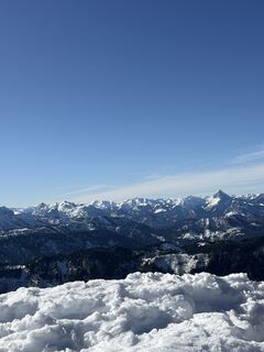
 © Richard DietzeUstvarjeno na 14.10.2023
 -
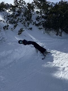
 © Filip TesarčíkUstvarjeno na 05.09.2023
 -

 © Grieshofer GerlindeUstvarjeno na 02.05.2026
 -
 © Grieshofer GerlindeUstvarjeno na 02.05.2026
 -
 © Grieshofer GerlindeUstvarjeno na 02.05.2026
 -
 © Grieshofer GerlindeUstvarjeno na 02.05.2026
 -
 © Wolfgang HammerUstvarjeno na 11.04.2026
 -
 © Wolfgang HammerUstvarjeno na 11.04.2026
 -
 © Wolfgang HammerUstvarjeno na 11.04.2026
 -
 © Andrej AndilUstvarjeno na 14.03.2026
 -

 © Petra RieglerUstvarjeno na 05.03.2026
 -
 © Viktoria ZabojnikovaUstvarjeno na 28.02.2026
 -
 © Peer DanielUstvarjeno na 26.02.2026
 -
 © Sebastianhaselsteiner9Ustvarjeno na 25.02.2026
 -
 © HJBUstvarjeno na 09.02.2026
 -
 © HJBUstvarjeno na 09.02.2026
 -
 © HJBUstvarjeno na 09.02.2026
 -
 © Maximilian Müller 8Ustvarjeno na 06.02.2026
 -
 © Maximilian Müller 8Ustvarjeno na 06.02.2026
 -
 © Maximilian Müller 8Ustvarjeno na 06.02.2026
 -
 © Maximilian Müller 8Ustvarjeno na 06.02.2026
 -
 © Maximilian Müller 8Ustvarjeno na 06.02.2026
 -
 © Maximilian Müller 8Ustvarjeno na 04.02.2026
 -
 © MartinUstvarjeno na 03.02.2026
 -
 © Dietmar PichlerUstvarjeno na 18.01.2026
 -
 © Ludmilla HochebnerUstvarjeno na 15.01.2026
 -
 © Ludmilla HochebnerUstvarjeno na 15.01.2026
 -
 © Marco AlfterUstvarjeno na 03.01.2026
 -
 © john74Ustvarjeno na 14.12.2025
 -
 © MimiUstvarjeno na 12.11.2025
 -
 © MimiUstvarjeno na 12.11.2025
 -
 © MimiUstvarjeno na 12.11.2025
 -
 © MimiUstvarjeno na 12.11.2025
 -
 © franz wegingerUstvarjeno na 07.11.2025
 -

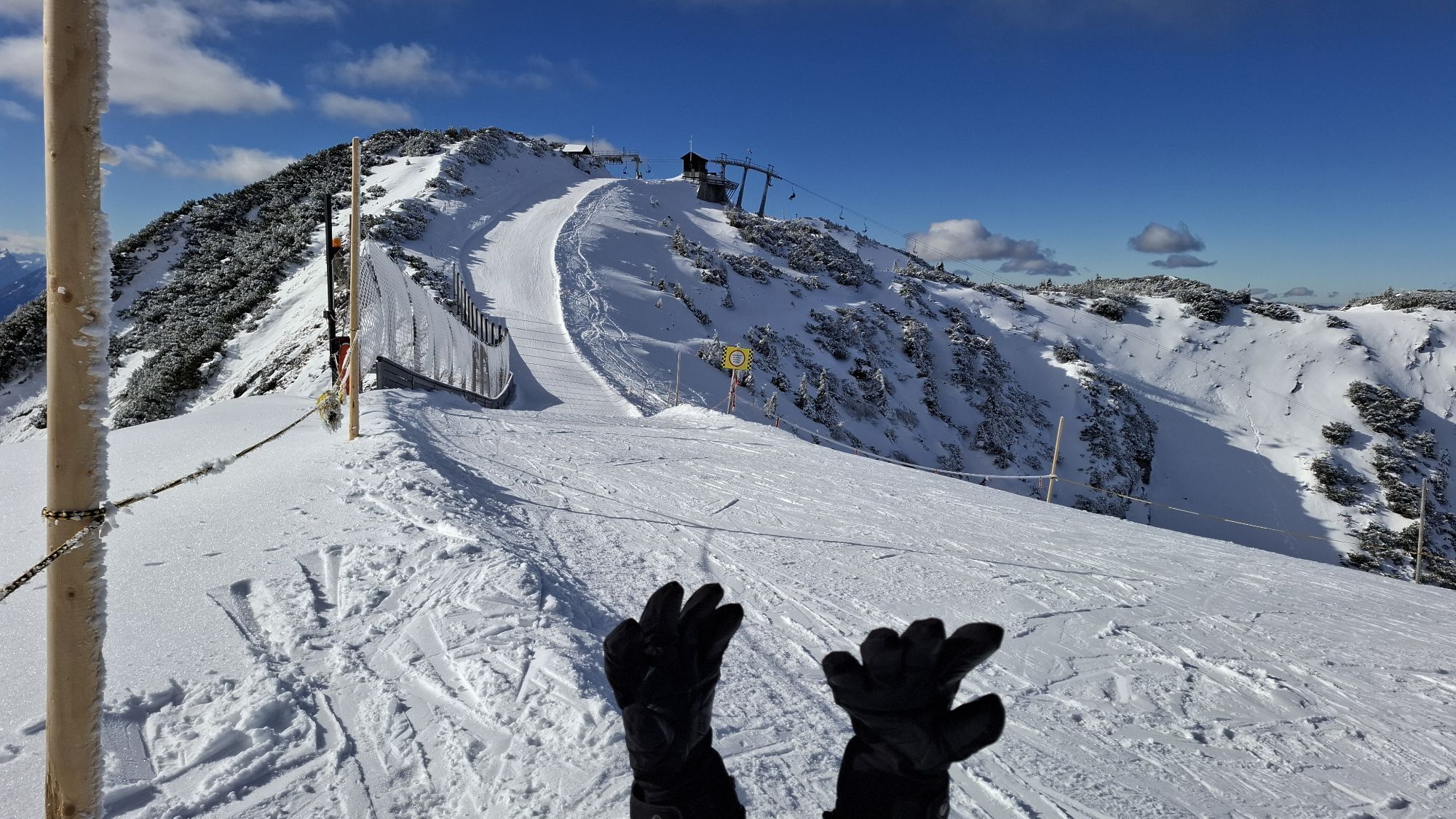
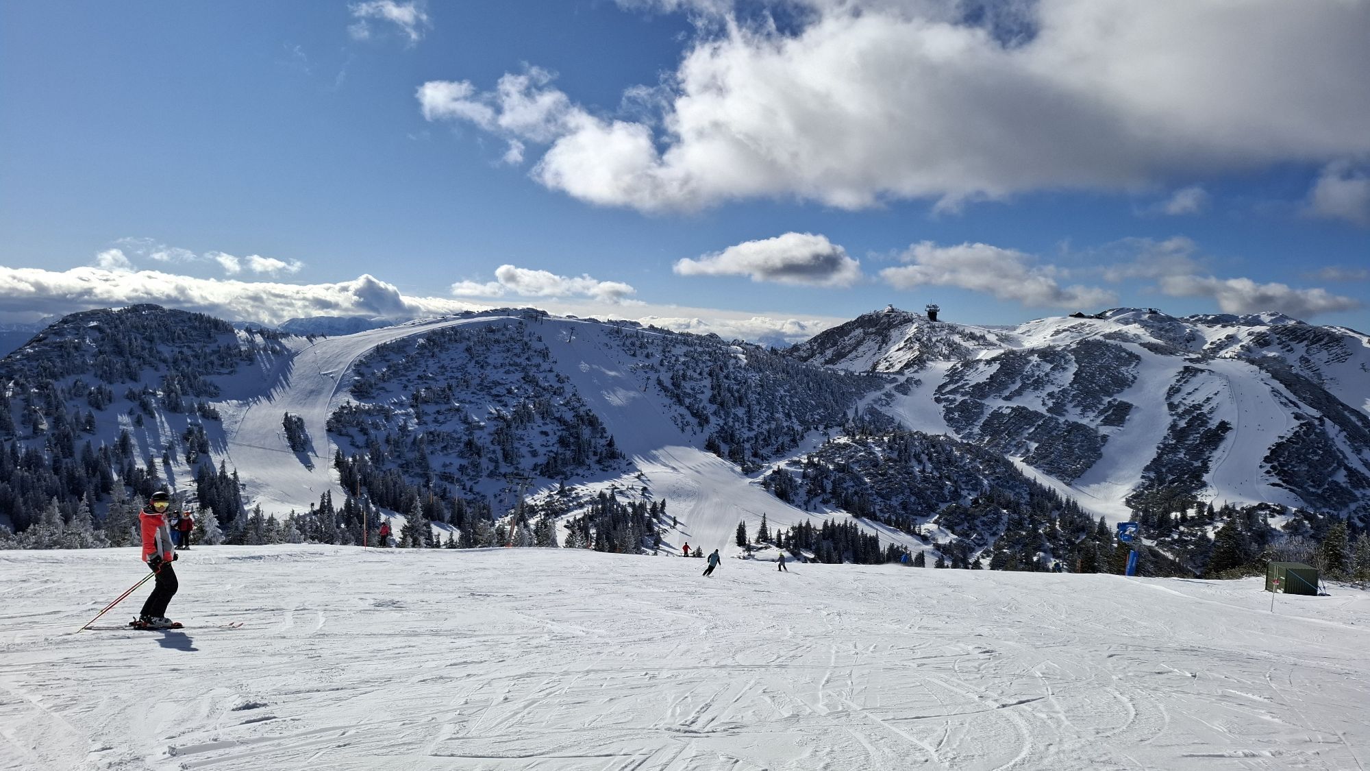
 © Mario LibardiUstvarjeno na 27.09.2025


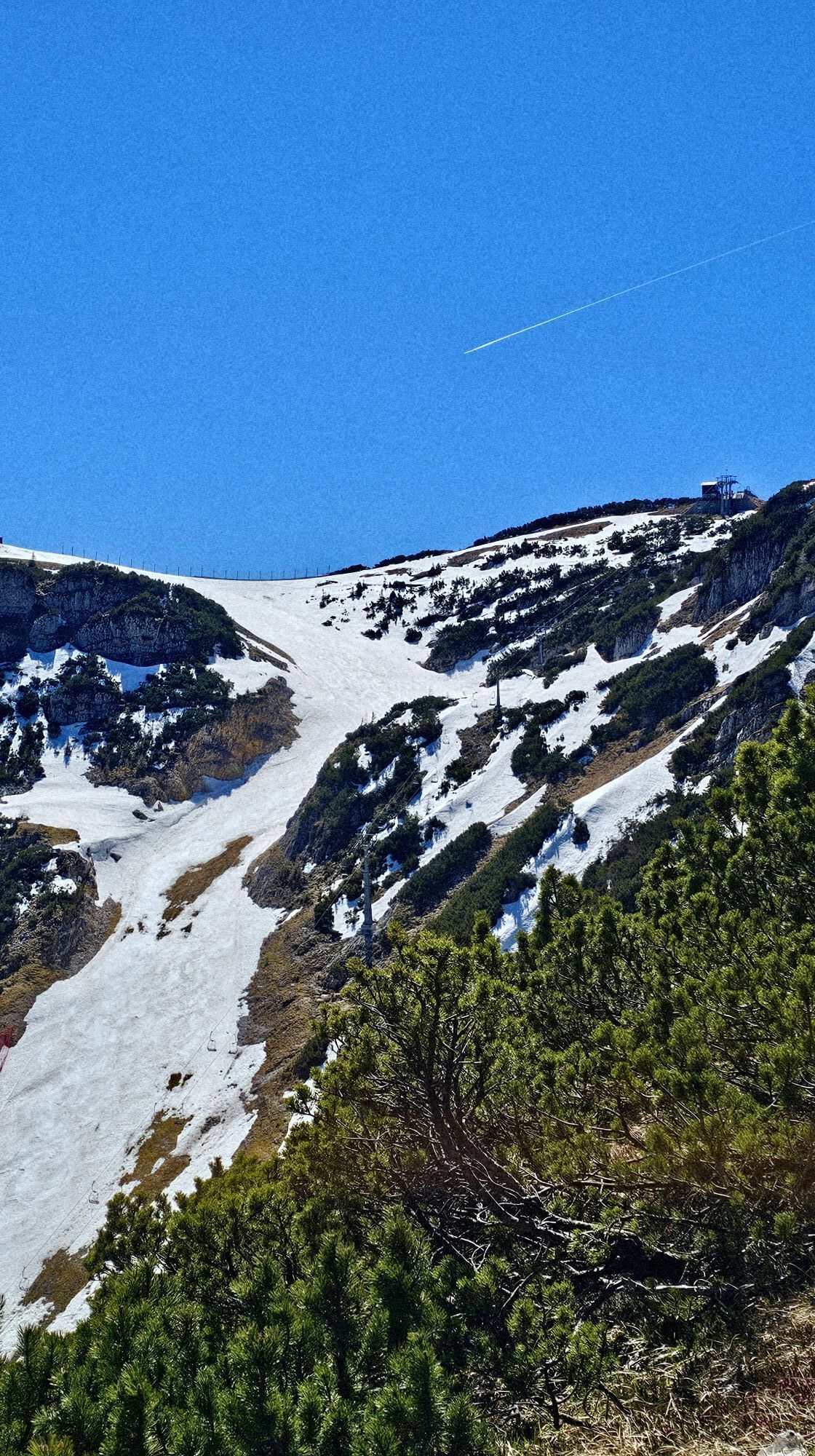


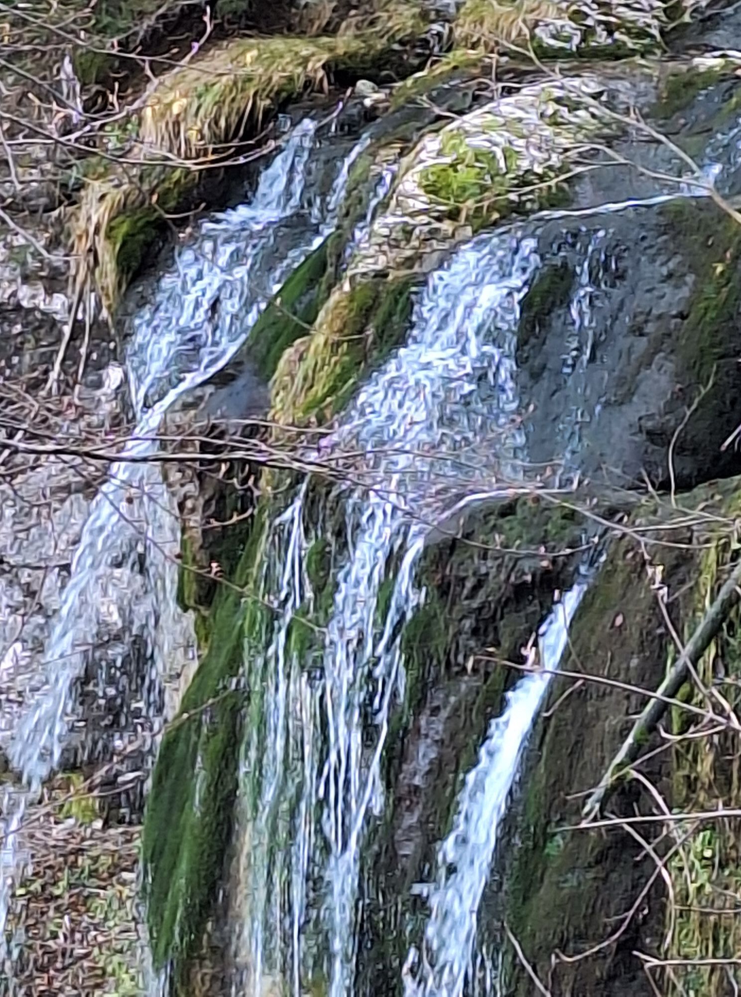

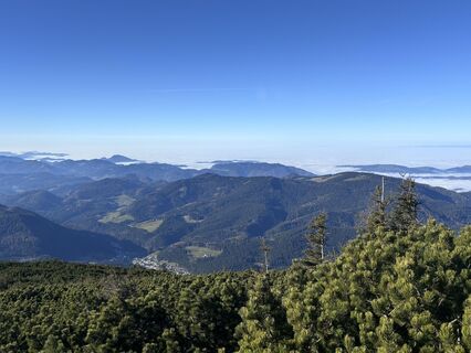
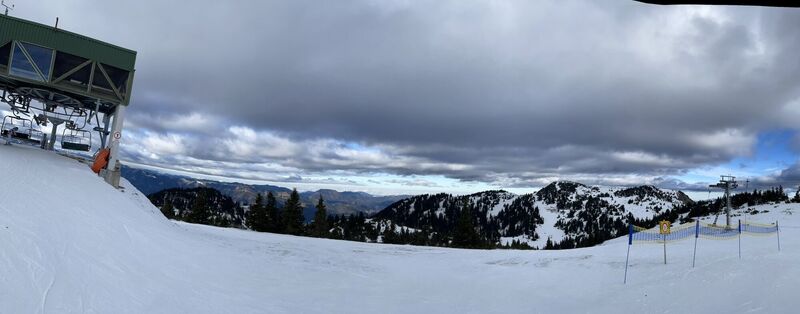
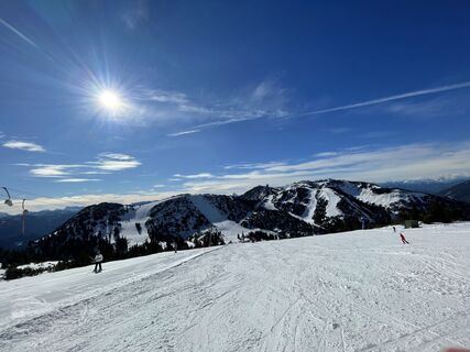
The last primeval forest in Central Europe is within reach and yet inaccessible. The hike leads from the Hochkar across alpine meadows and unspoilt countryside right into the heart of a rustic landscape:...
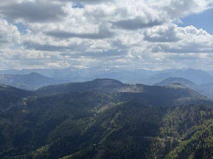
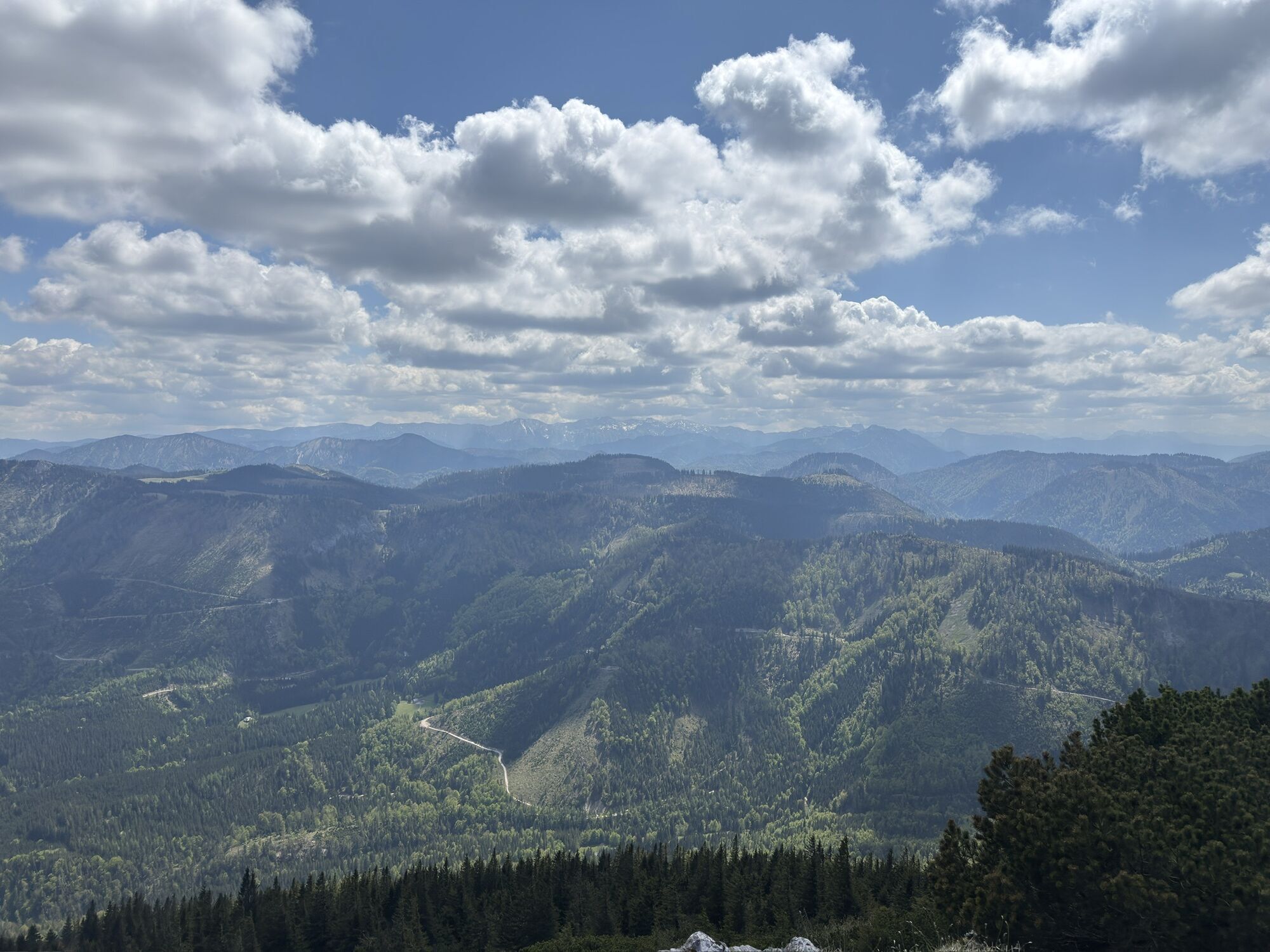
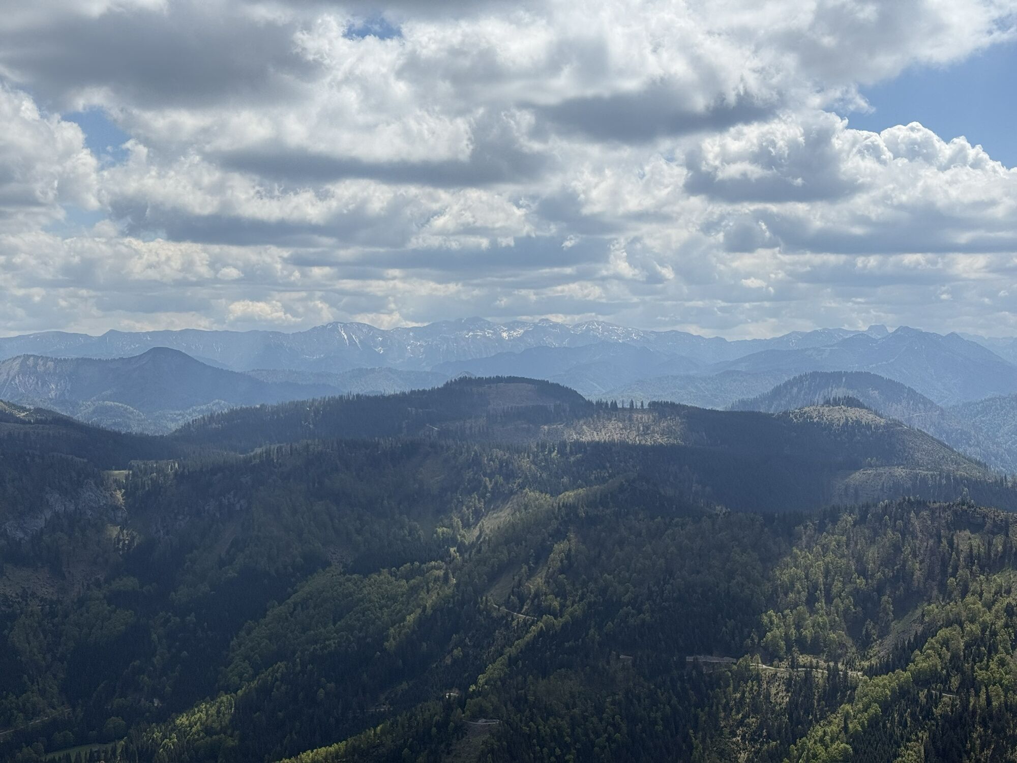
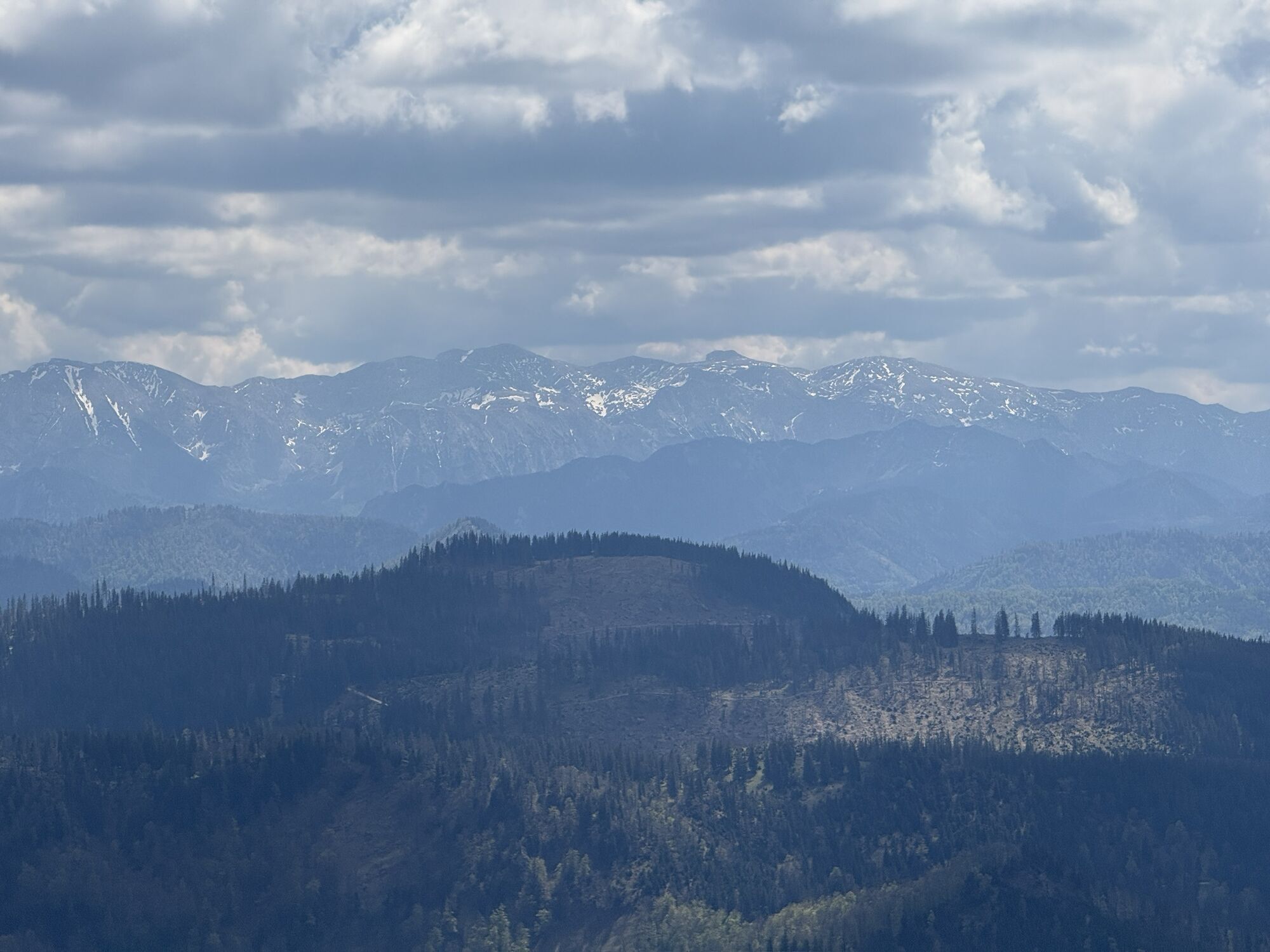
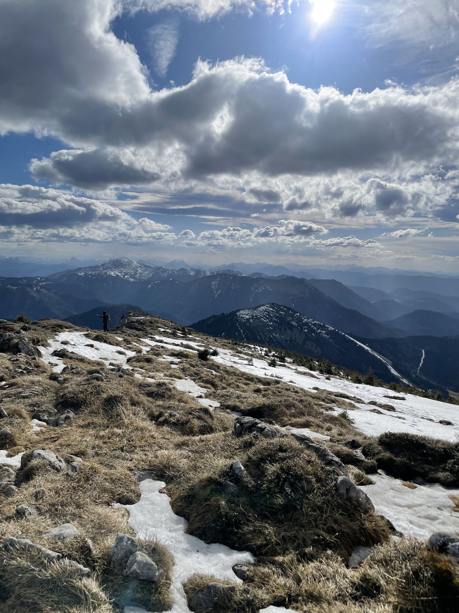
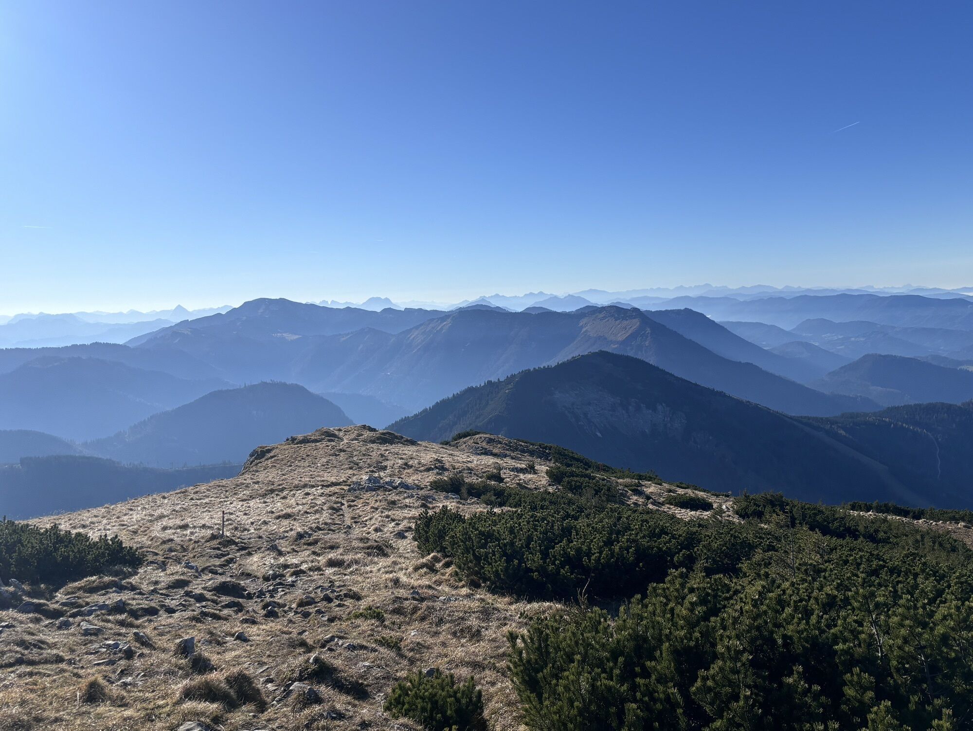
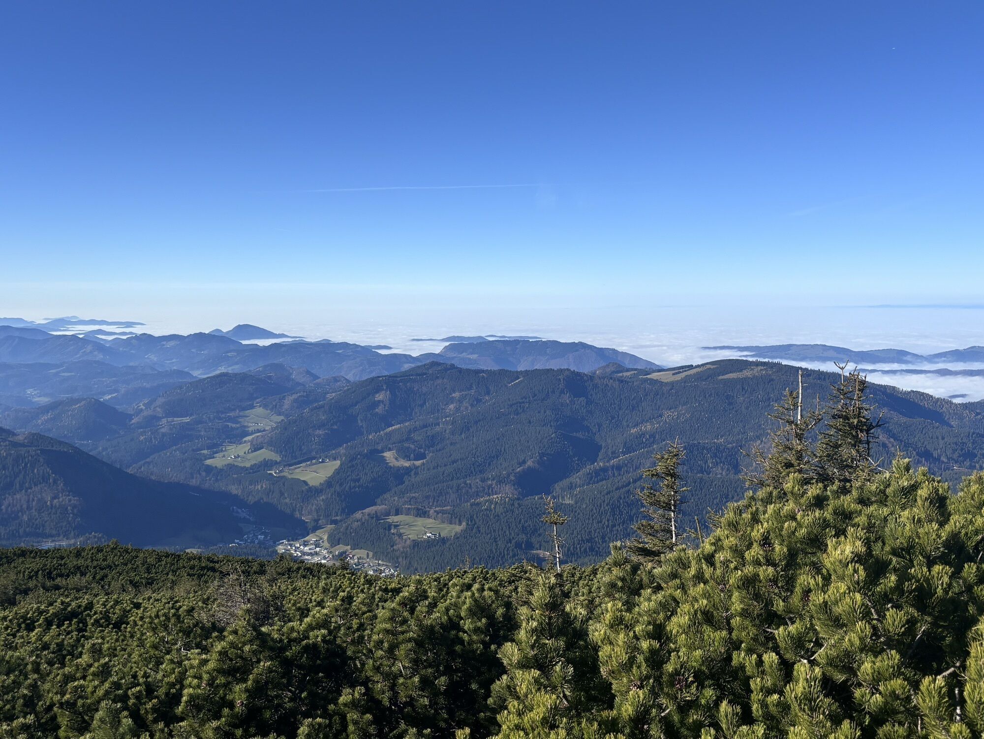
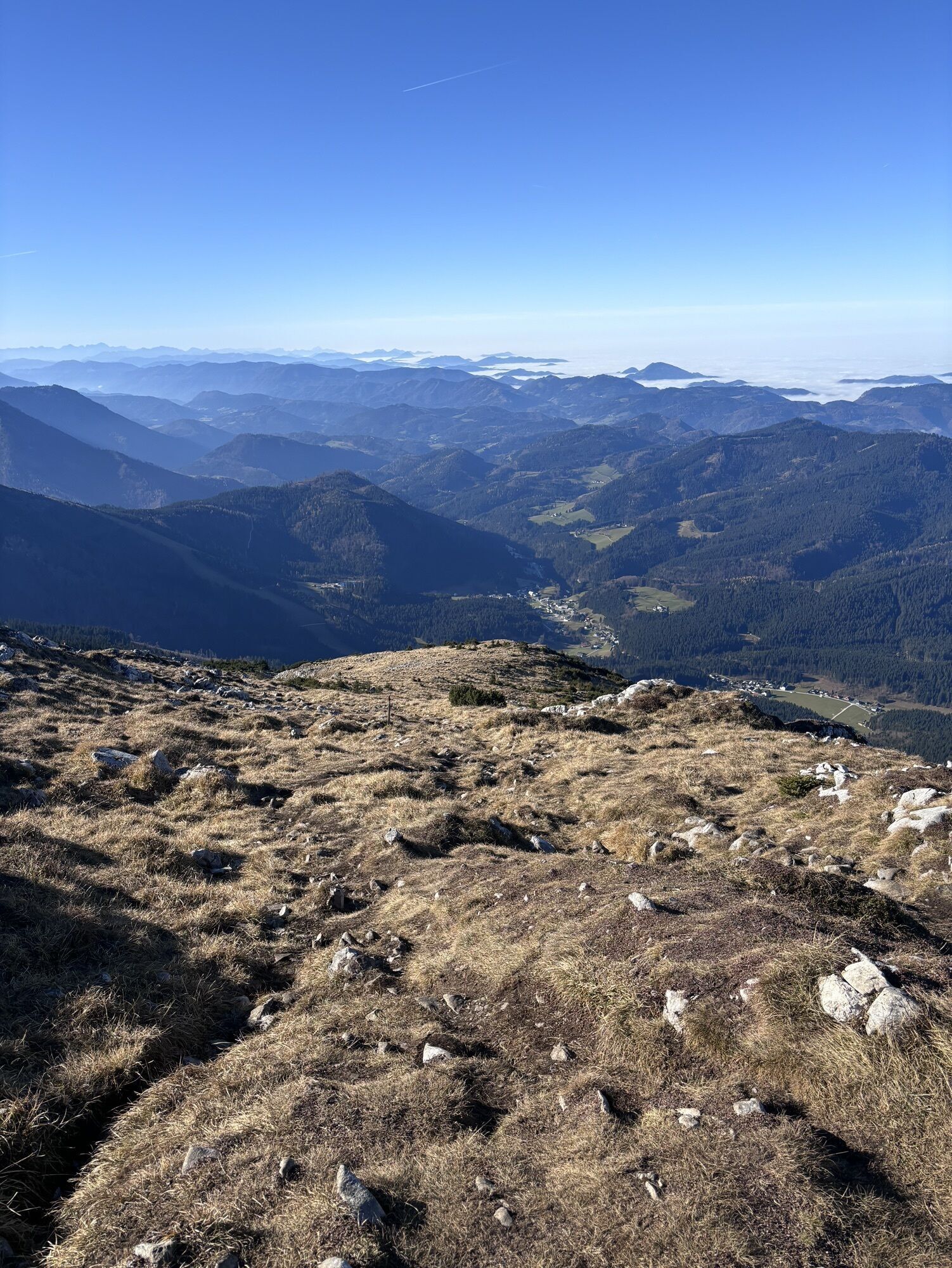
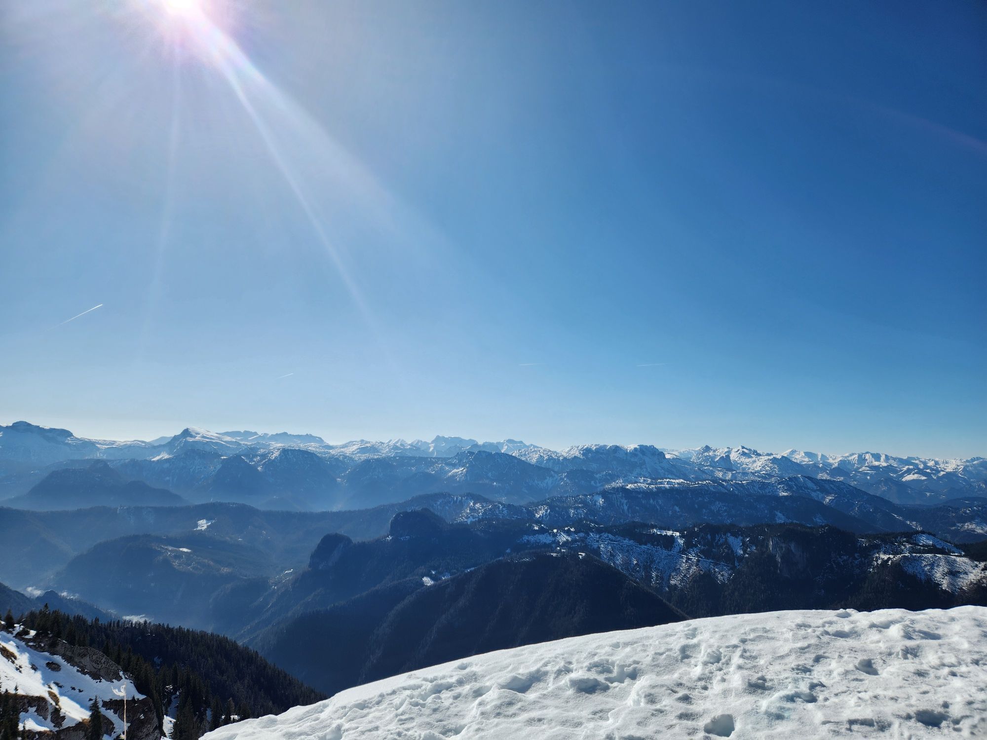
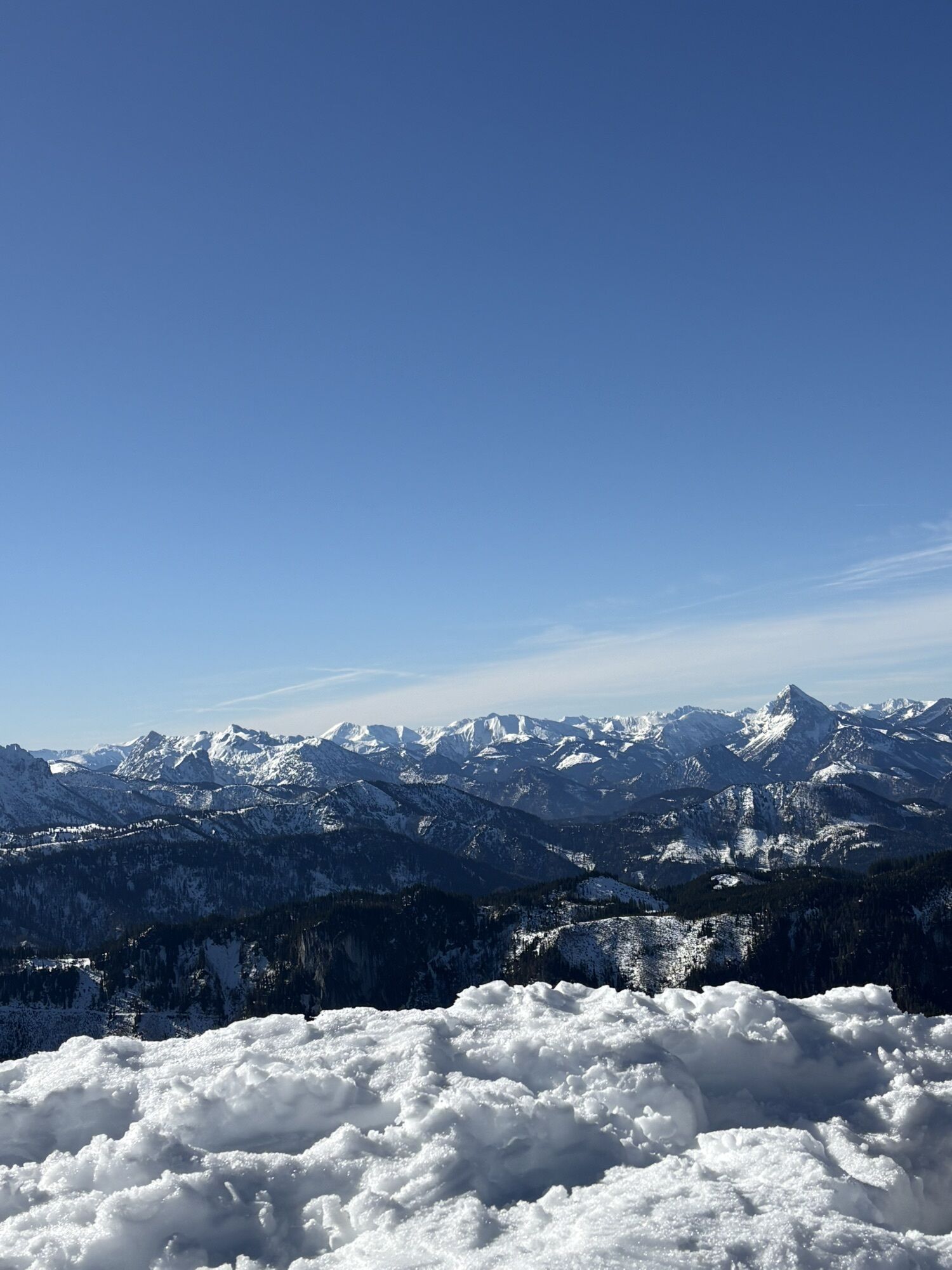
The last primeval forest in Central Europe is within reach and yet inaccessible. The hike leads from the Hochkar across alpine meadows and unspoilt countryside right into the heart of a rustic landscape: into the retreat of the last Ötscher bear, into forests where the beetle is still allowed to gnaw with impunity. Over sharp rocky ridges from one alpine authority to another. From the Hochkar to the Ötscher, both over 1800 meters high. In between, the Dürrenstein - a mountain tour experience over 40 kilometers long, the likes of which can only rarely be found in the entire Northern Limestone Alps.
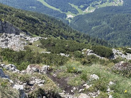
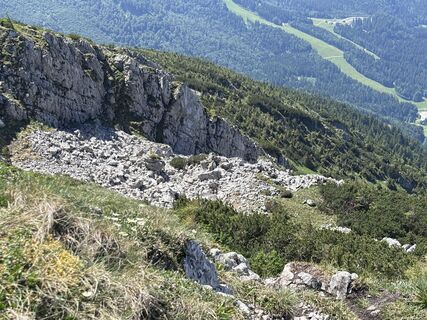
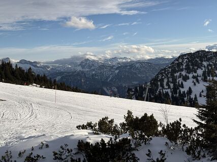
Scenically magnificent crossing, mostly above the tree line. No climbing sections, but absolute surefootedness required. The only alternative route is from the Tremelsattel to the north into the Steinbachtal or as a two-day tour with an overnight stay option at the Ybbstalerhütte (plus 4.4km incl. 470 vertical meters from/to the Dürrenstein summit).

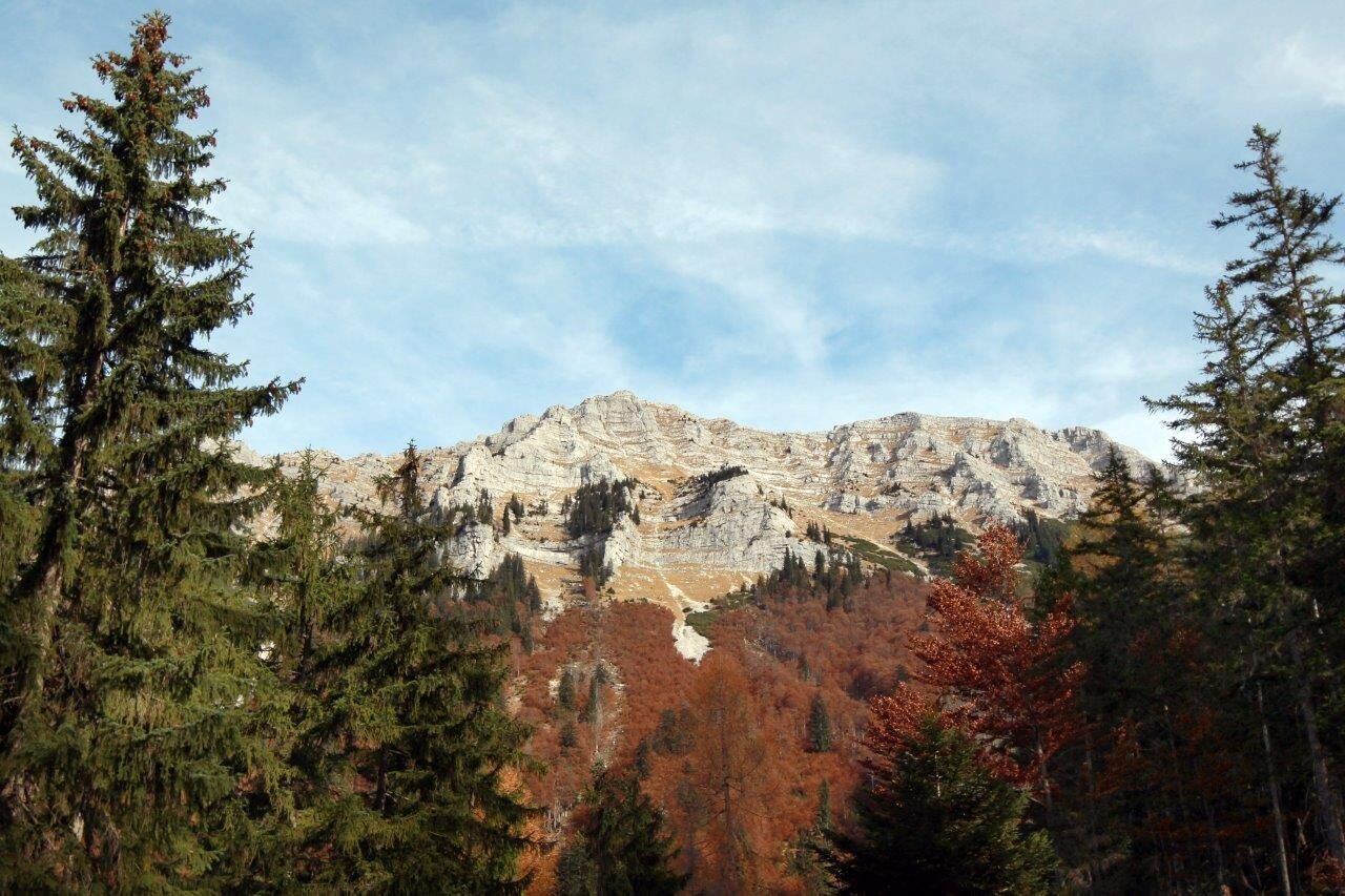
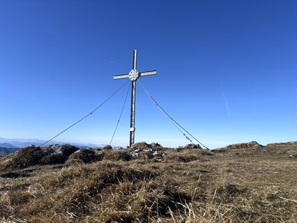
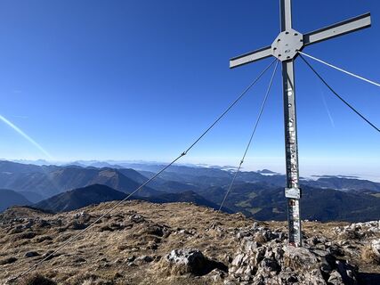
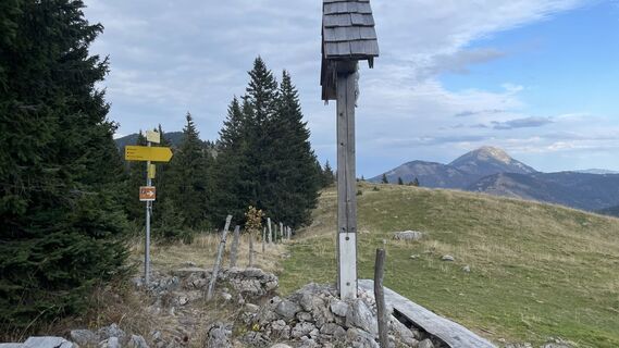
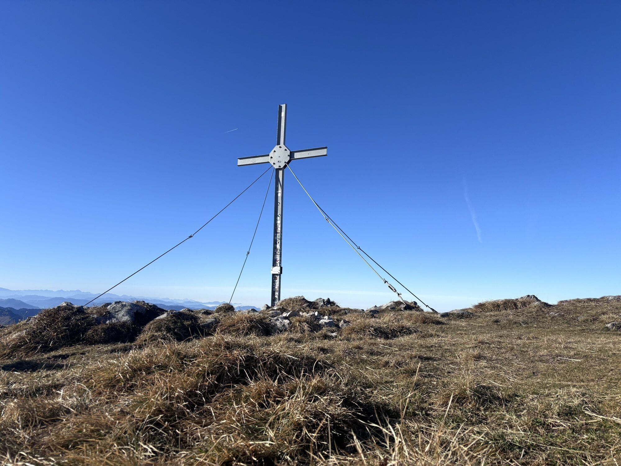
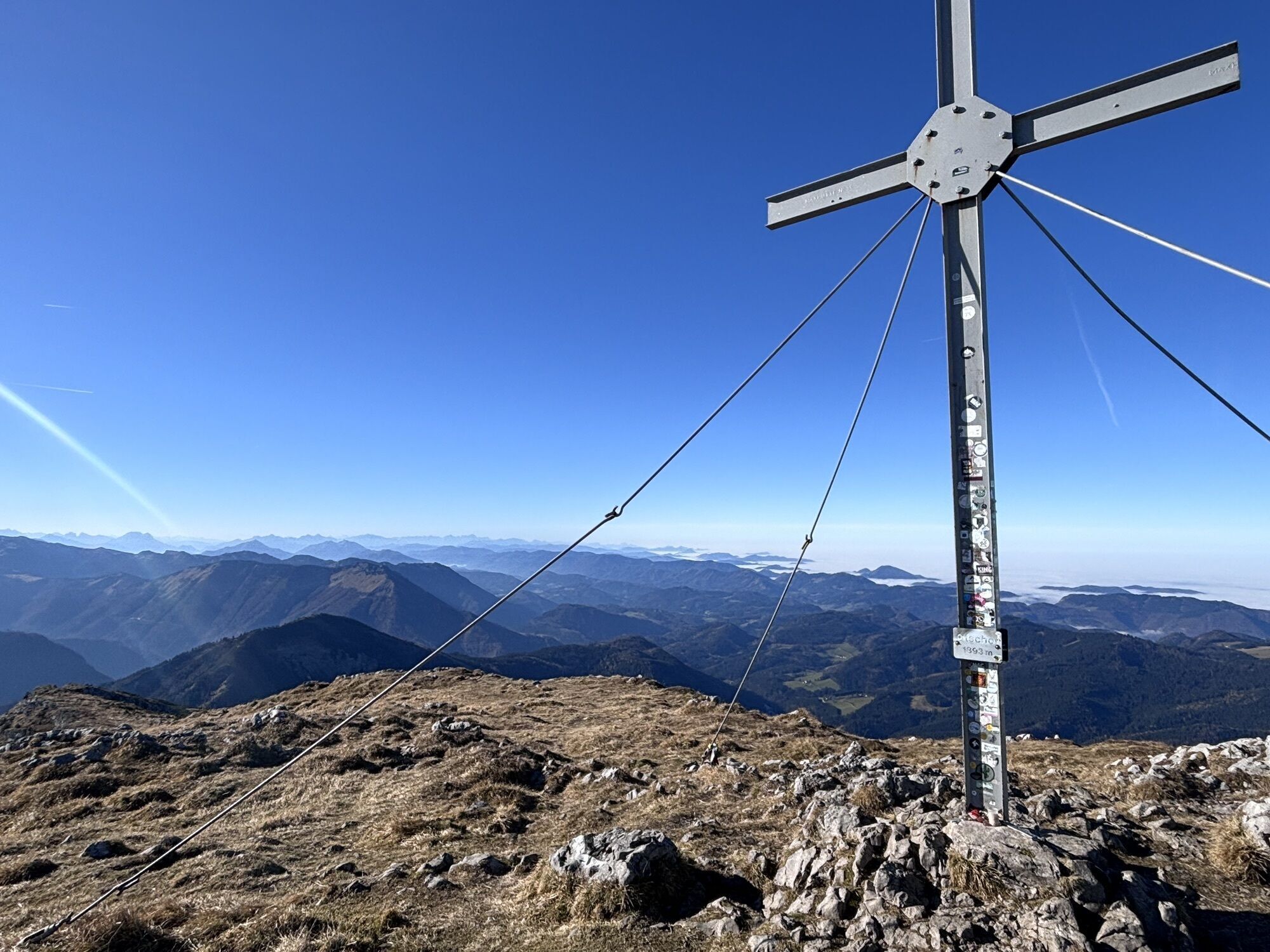
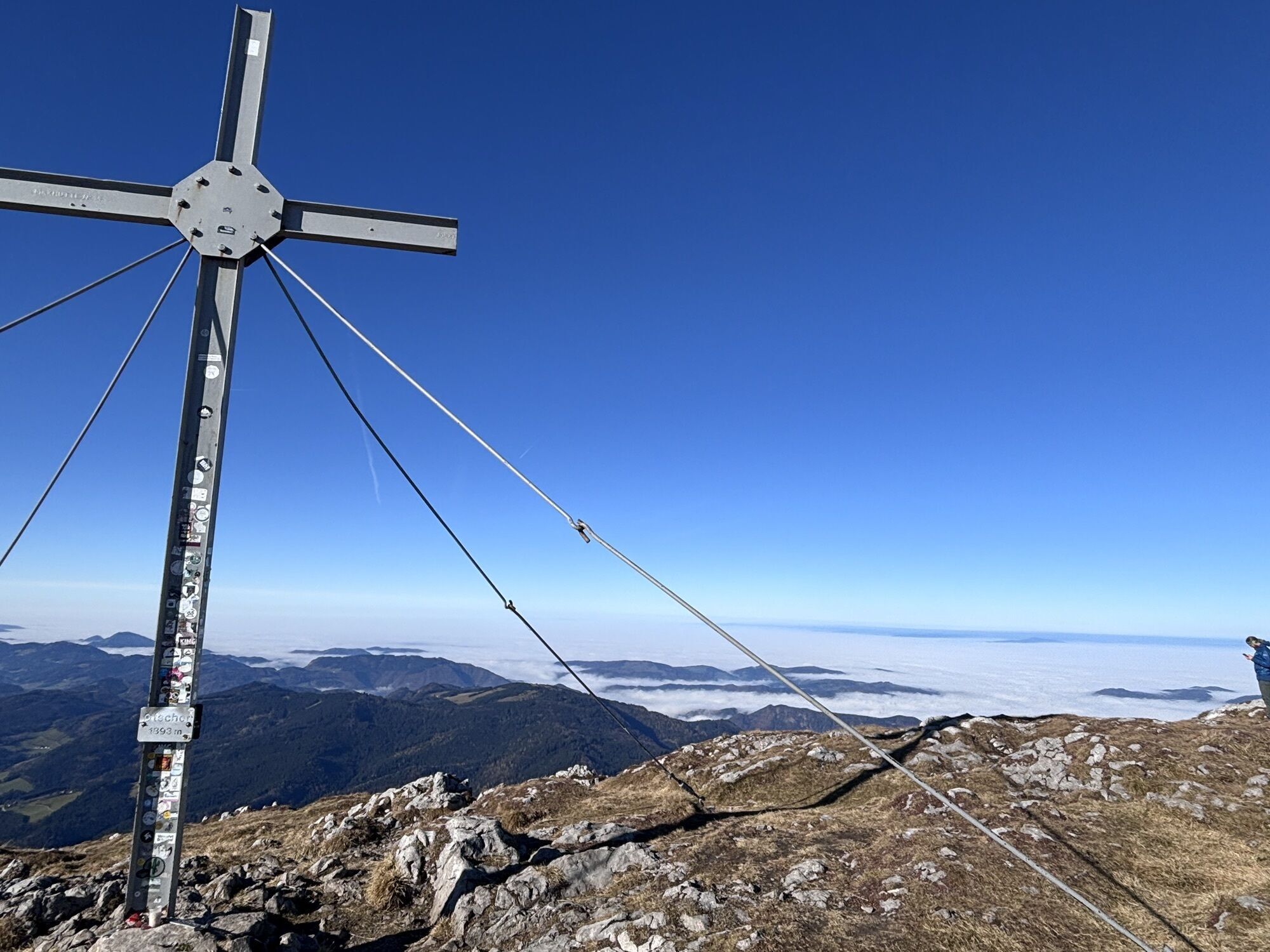
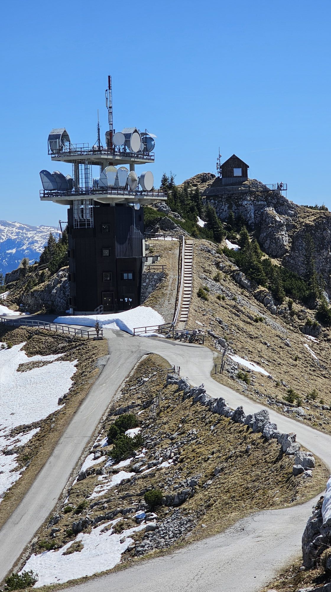
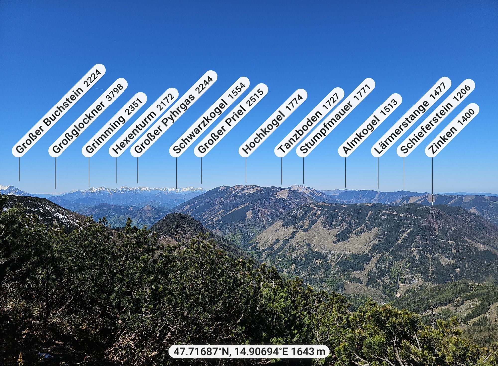
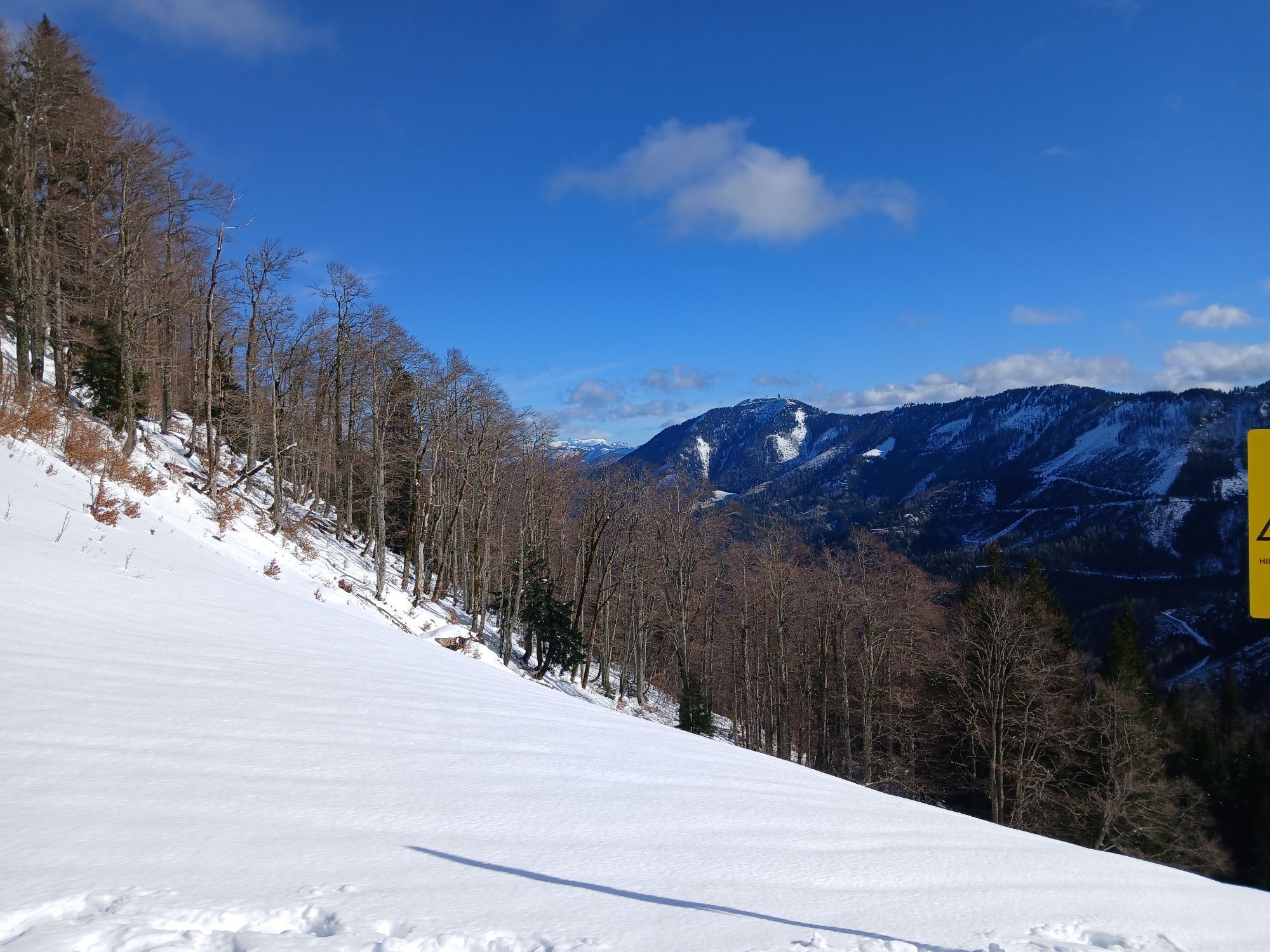
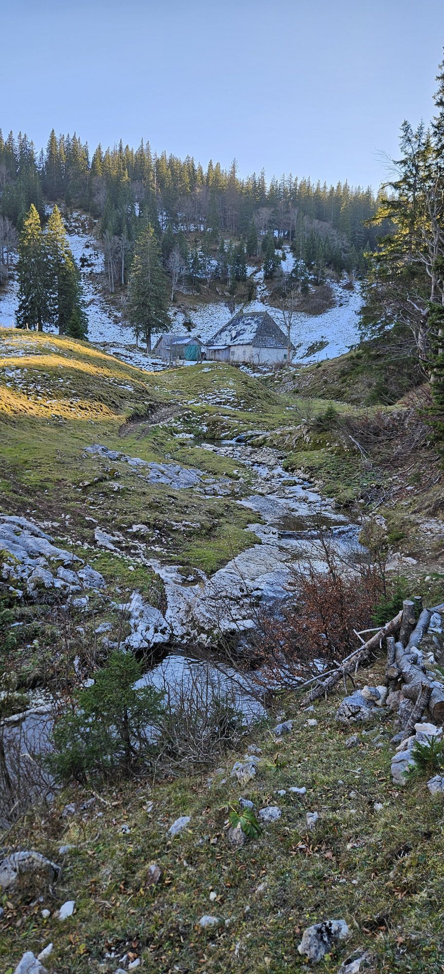
From the Hochkar parking lot to the alpine guesthouse Jagersberger, a short section on a forest road towards "Karl". The marked trail branches off to the right and gently ascends to the Scheinecksattel. Continue to the main ridge, to the Hochkargipfel (1808m). Along the main ridge to the Geischlägerhaus. From the exit point of the Leckerplan lift along the north descent road down to the Hochkar parking lot (1478m). From the Hochkar shelter (1491m) up to the Blachlboden. A trail leads diagonally left in several switchbacks up a meadow strip to a shallow saddle. Right through a gate in small switchbacks down, then crossing halfway up the slope to the right, finally gently ascending out of the steep terrain to the main ridge. The trail immediately turns diagonally left upwards. On the east ridge, small forest clearings open down to a flat valley floor. You cross the mountain meadows of the Munsinplan (1585m), keep right near the south-facing cliffs, descend briefly through a hollow and reach the forest saddle immediately before the summit. The trail goes up to the Ringkogel (1668m). Immediately from the summit, a steep descent to the east to a deep ridge notch, crossing to a smaller notch and then continuously following the ridge crest gently descending, finally rising briefly to the Schwarzkogel (1547m). Finally, a steep descent to the Tremelsattel (1201m). From here, you follow the ridge back to the east. In the lower part, a distinctive karst plateau is crossed, then you reach the exposed summit of the Hochkirche (1486m) along narrow forest clearings. Over steep mountain meadows, descend to shallow meadow floors and follow a stony grassy ridge for a short time, which has small rock ledges. The ascent to the Bstattkopf (1508m) leads through a forest clearing up to wide meadow curves. You mostly keep left near the edge of the drop to Steinbachkessel. The cliffs of Teufelsmäuer remain on the right. There, you immediately descend a short section through larch corridors on the Steinbach side and fight through mountain pines and battle forest along the steep western slope on trail tracks (do not descend too far!). Here begins the long steep ascent over a broad meadow ridge, east of the rock walls breaking off from the Dürrensteingipfel to the Steinbachkessel. Further up, you avoid an elongated mountain pine field to the right. Trail tracks briefly lead into the east flank of the mountain, then turn steeply left up the rock ridge and reach the Dürrensteingipfel (1878m) via the flattening ridge. Shortly after the Dürrsteingipfel, there is the possibility to branch off (1830m) to the Ybbstalerhütte (1830m) and the exit to the Steinbachtal. Those who want to complete the entire alpine tour descend via the Herrenalm (1327m) - temporarily closed! - to the Oistal (700m). A short section downhill branches off to the right the Winkelbachstraße, where you reach the Mariazellerweg. Then turn left on this path and via the Dirndlmauer and Riffelsattel (1283m) reach the Ötscher shelter (1418m). From there, you reach the Ötschergipfel (1893m) in 1.5 hours.
The descent returns to the Ötscher shelter, and then either by lift to the valley or on foot down via the Riffelsattel to Lackenhof.
Sturdy footwear and sufficient water are an absolute necessity.
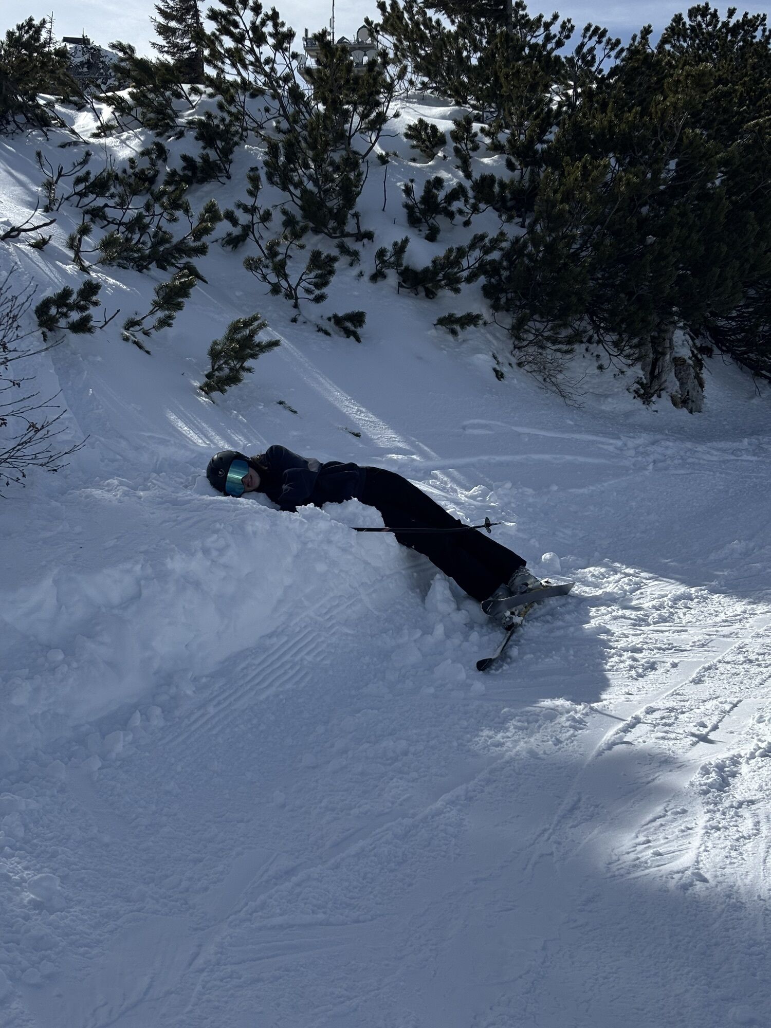
Endurance and absolute surefootedness required! Deviating from the ridge can lead to very dangerous terrain.
A1 Amstetten, B 121 Waidhofen/Ybbs and to Göstling. Further to Hochkar. Either leave a second car in Lackenhof or book a taxi bus!
Parking lots at Hochkar (1478 m)
Information about chairlift operations is available at 07484/7214
Ybbstaler Hütte: June to October, 2 double rooms and 41 dormitory beds, 0664/9886801
ÖTK shelter at Hochkar: July to October, 6 beds, 30 mattress places, 07484/7203
Ötscher shelter: December to March and from May to October, 80 beds, 07480/5249
Tourism Association Ybbstaler Alps
Göstling 46/2
3345 Göstling
Tel. 07484/93049
www.ybbstaler-alpen.at
info@ybbstaler-alpen.at
Plan your supplies well -> no base or water point on the way!! Possibly set up a depot along the federal road near Langau!
Spletne kamere s turneje
-
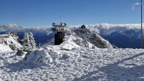
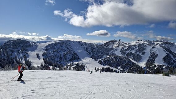
Hochkar
-
Eibenkogl Bergstation
-
Hochkar
-
Hochkar
-
Hochkar
-
Hochkar
-
Eibenkogl Bergstation
-
Eibenkogl Bergstation
-
Eibenkogl Bergstation
-
Hochkar
-
Hochkar Tal
-
Hochkar Tal
-
Hochkar Tal
-
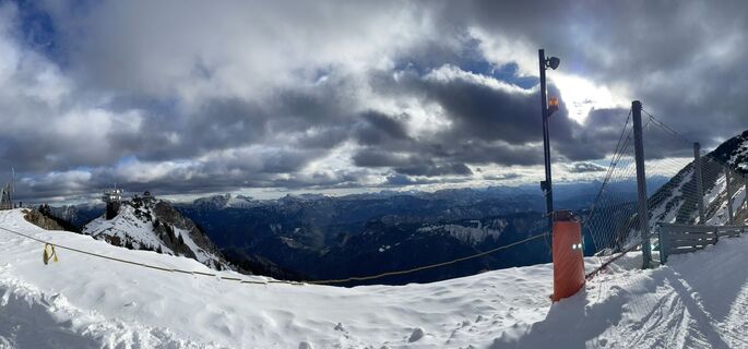
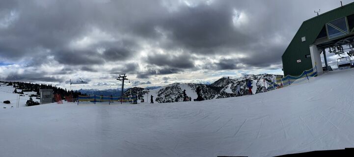
Hochkarbahn Bergstation
-
Hochkarbahn Bergstation
-
Hochkarbahn Bergstation
-
Hochkarbahn Bergstation
-
Hochkarbahn Bergstation
-
Hochkarbahn Bergstation
-
Hochkarbahn Bergstation
Priljubljeni izleti v okolici
-
4.5
Hochkar - Schmalzmauer - Geißhöhe - Ringkogel - Schwarzalmhütte - Brunneckerhütte
srednjaPohodništvo 13.2 km -
4.3
Das 3 Seen-Erlebnis (Lunzer See - Mittersee - Obersee)
srednjaPohodništvo 9.33 km -
4.3
Rund um den smaragdgrünen Lunzer See
svetlobaPohodništvo 4.80 km -
4.9
Lackenhof ÖTSCHER Rauer Kamm 19.10.2014
težkoPohodništvo 14.1 km -
4.9
Kurzeck- Siebenhütten- Turnhöhe- Kitzhütte Göstling an der Ybbs, Österreich
svetlobaPohodništvo 12.8 km -
4.8
Panoramic summit Maiszinken - alpine experience included
srednjaPohodništvo 12.6 km -
4.6
Lechner Graben - Ybbstaler Hütte
srednjaPohodništvo 14.2 km -
4.5
Gföhler Alm - Rainstock - Schleierfall
srednjaPohodništvo 13.6 km -
5.0
Von Lackenhof auf den Ötscher
svetlobaPohodništvo 5.29 km -
4.4
Ötscher mit Bartgeier
srednjaSmučarska tura 10.4 km
Pohodništvo in sledenje


Ne zamudite ponudb in navdiha za naslednje počitnice
Vaš e-poštni naslov je bil dodan na poštni seznam.