






Spitz-Jauerling

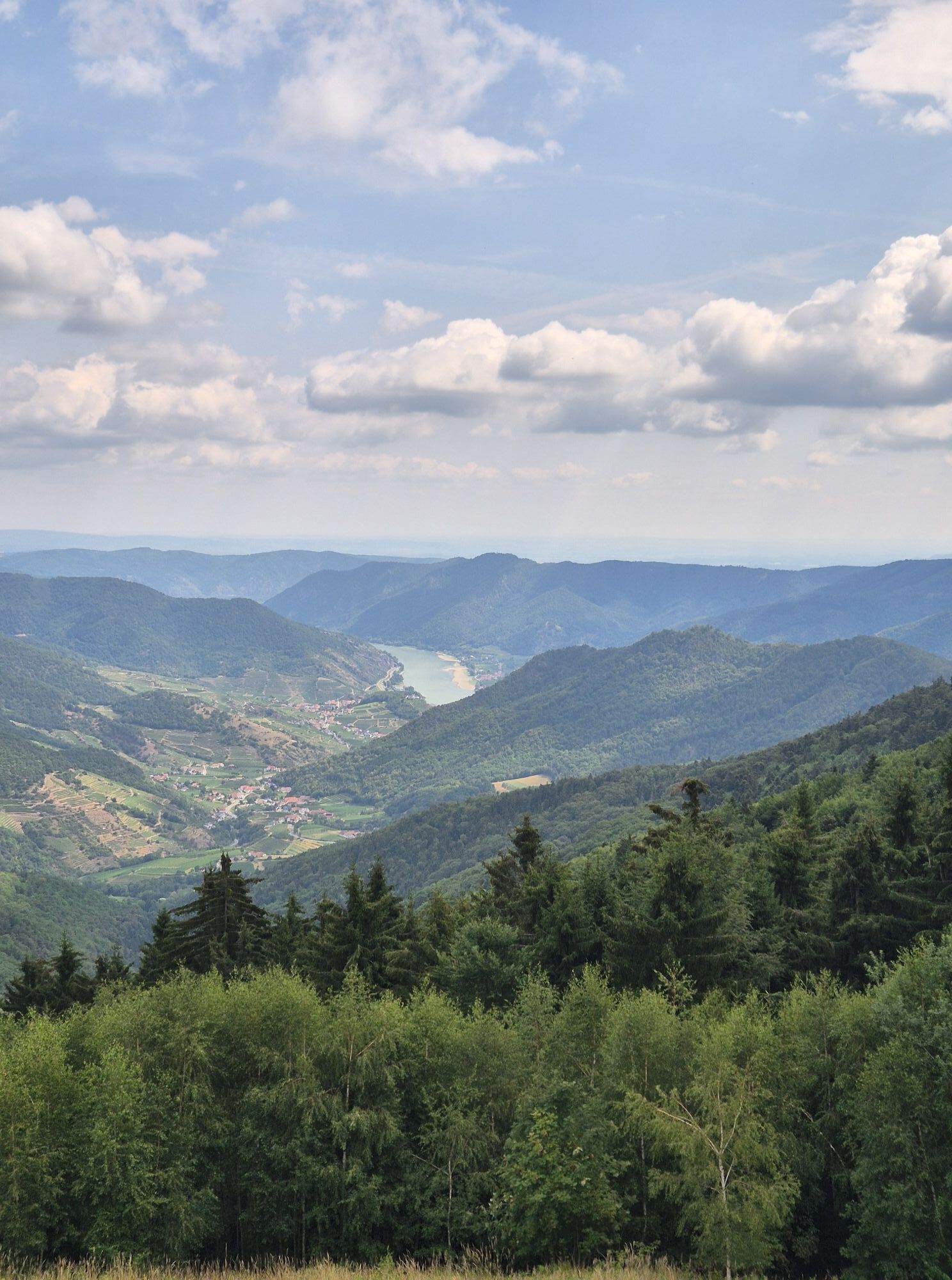
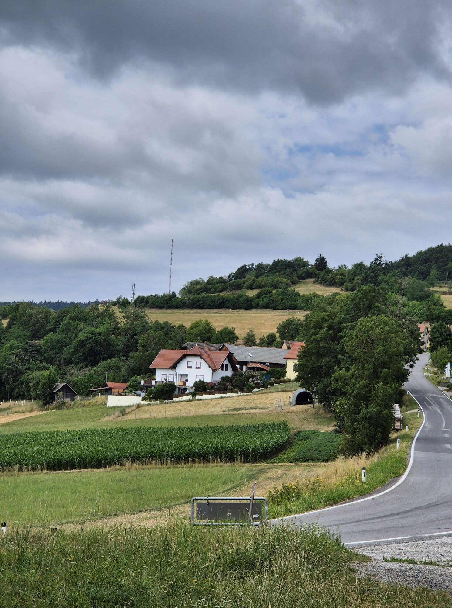
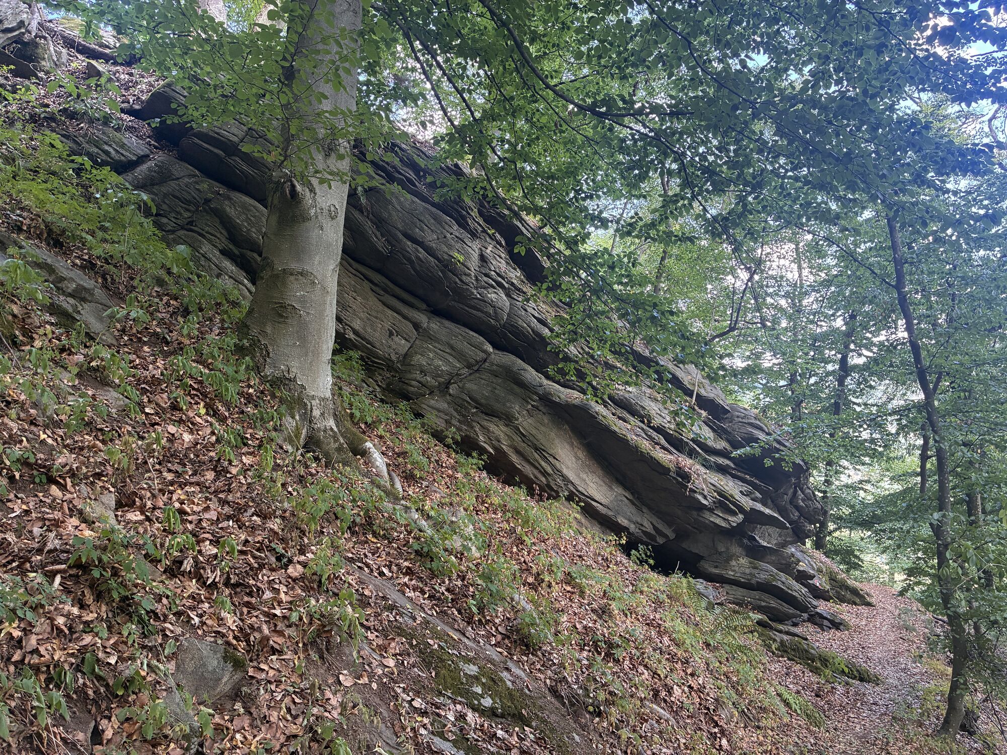
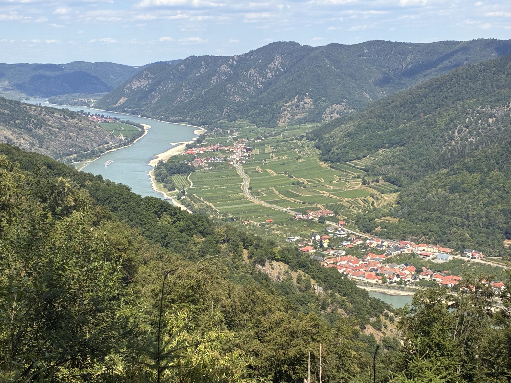
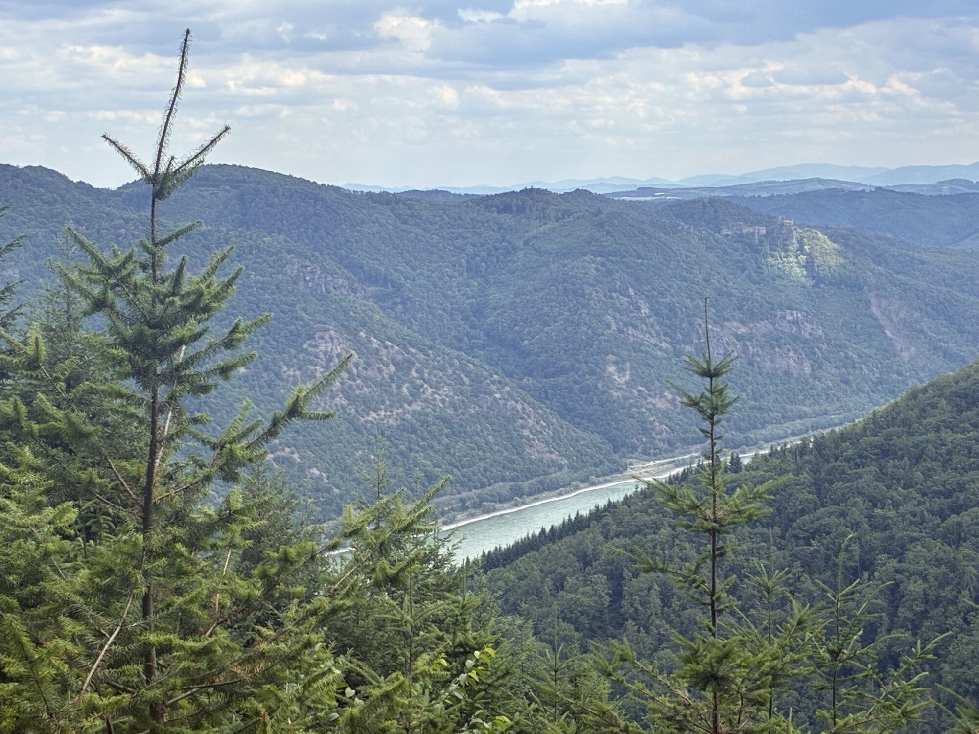
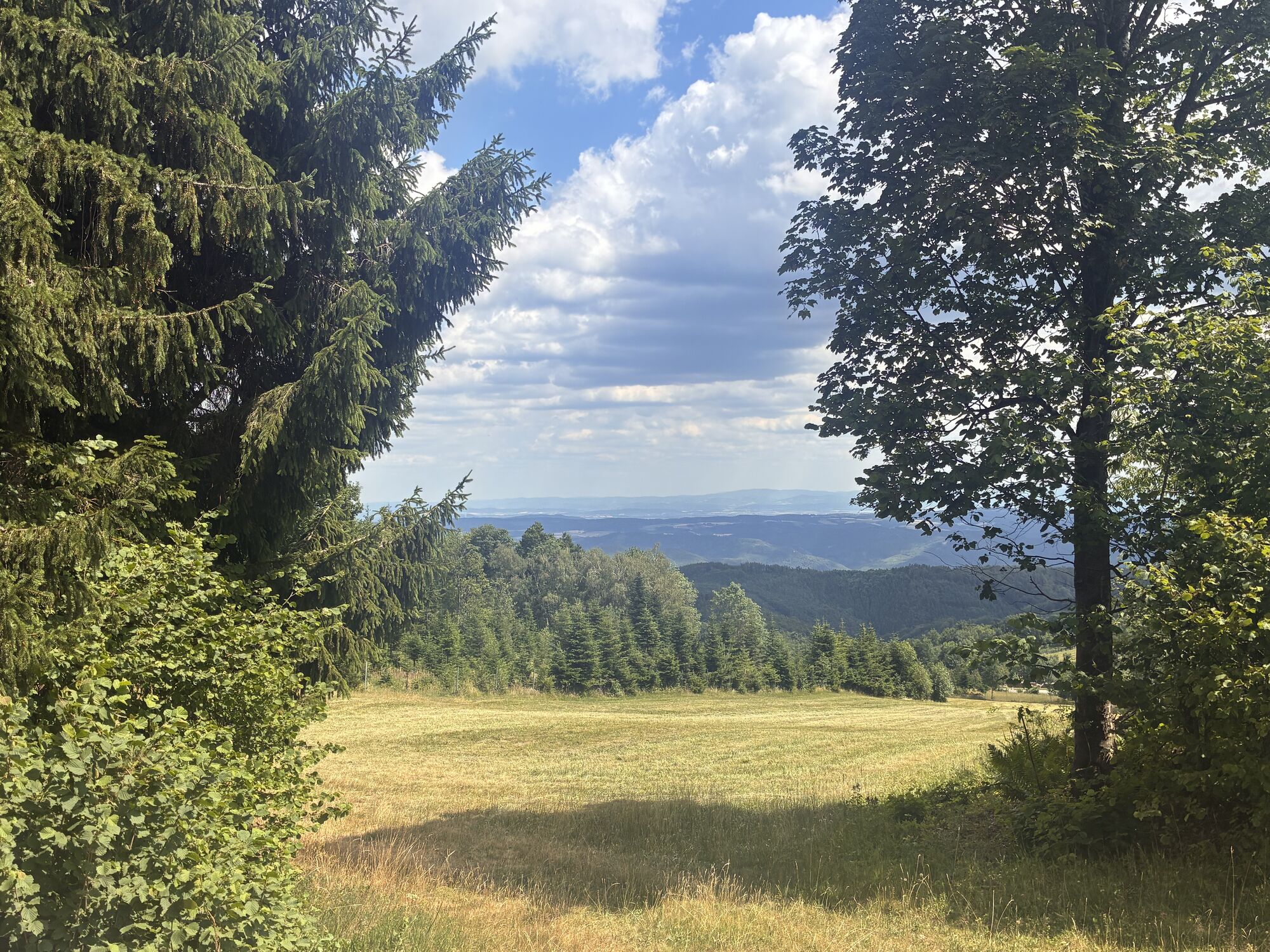
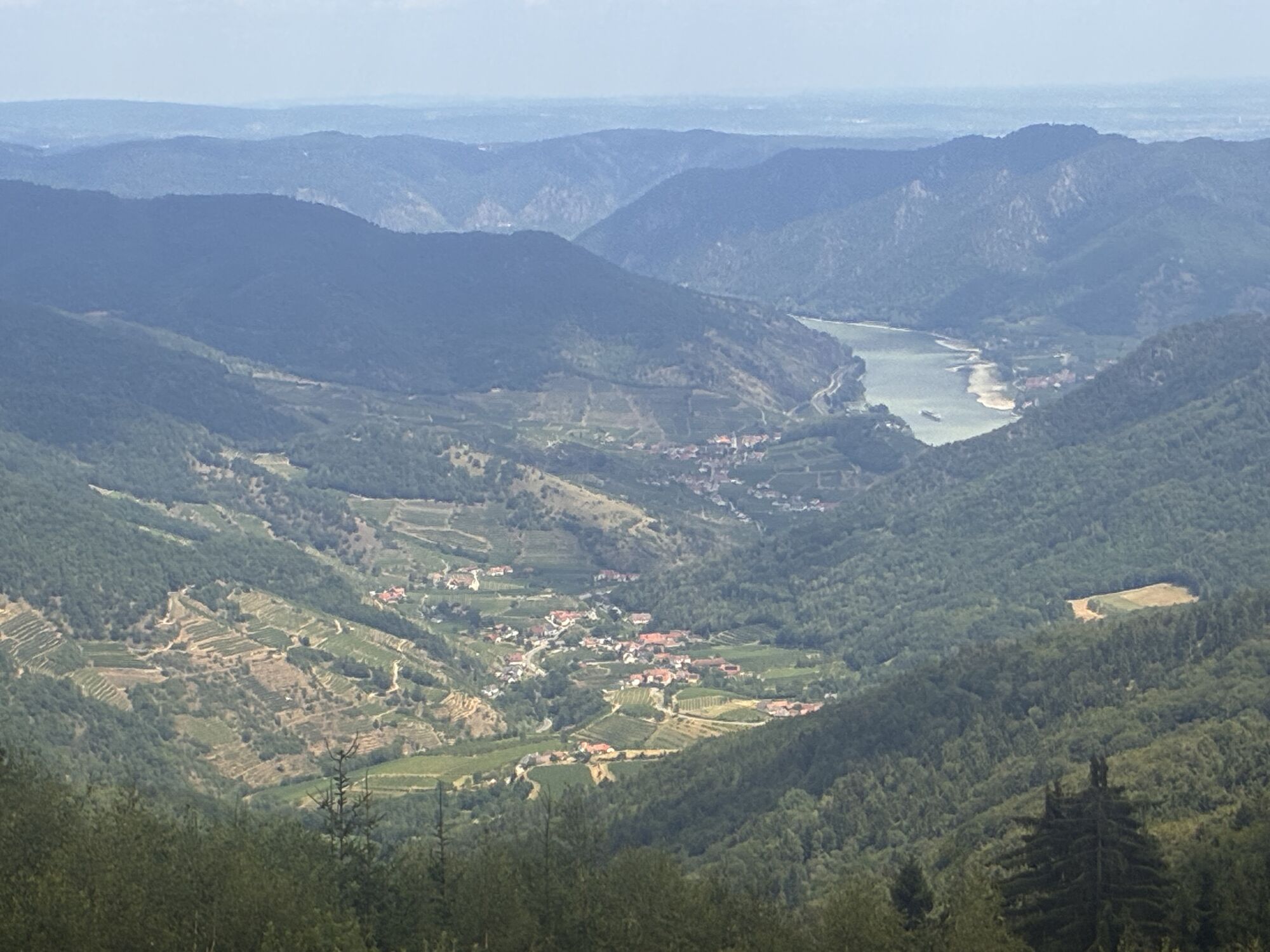
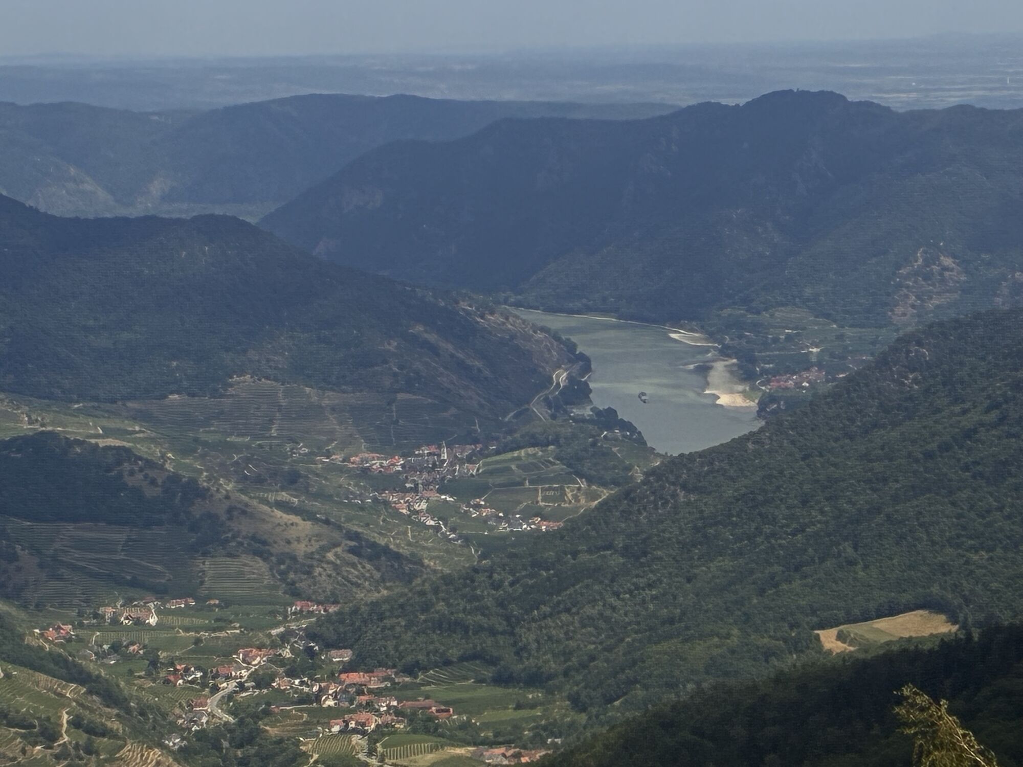
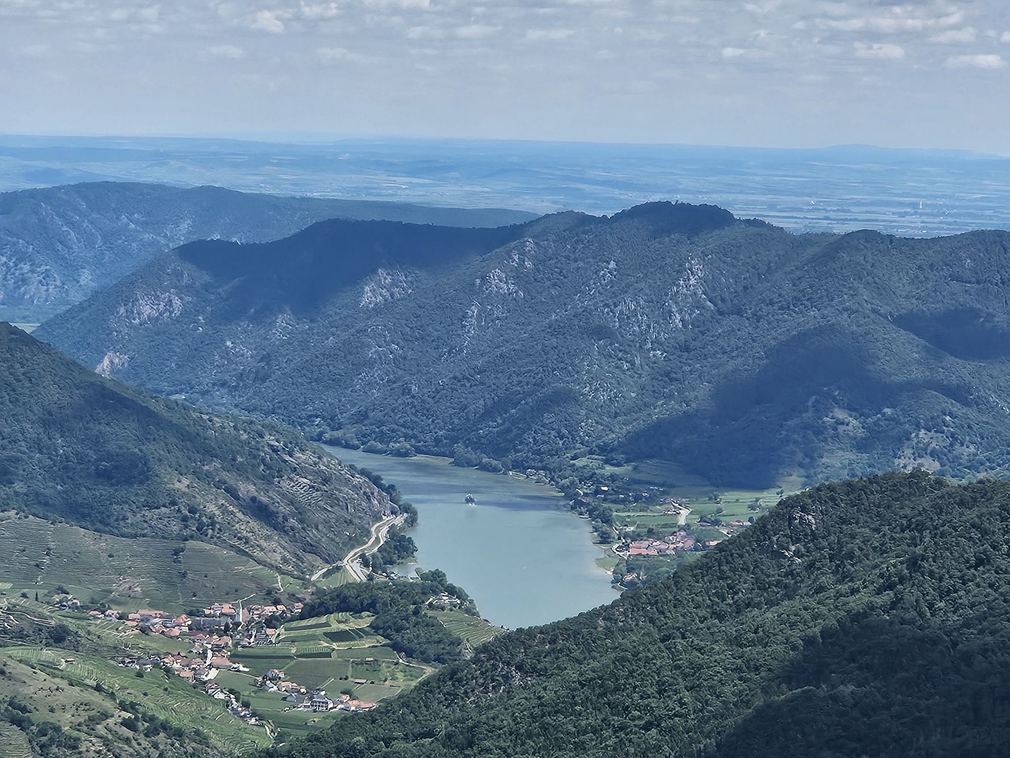
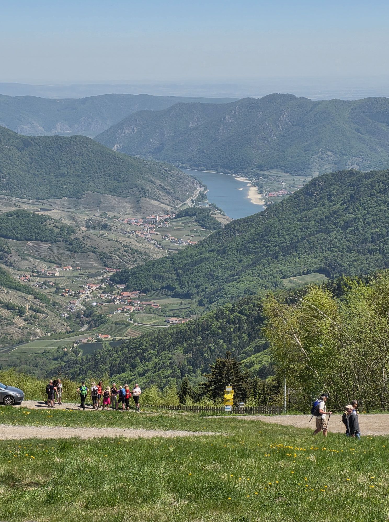
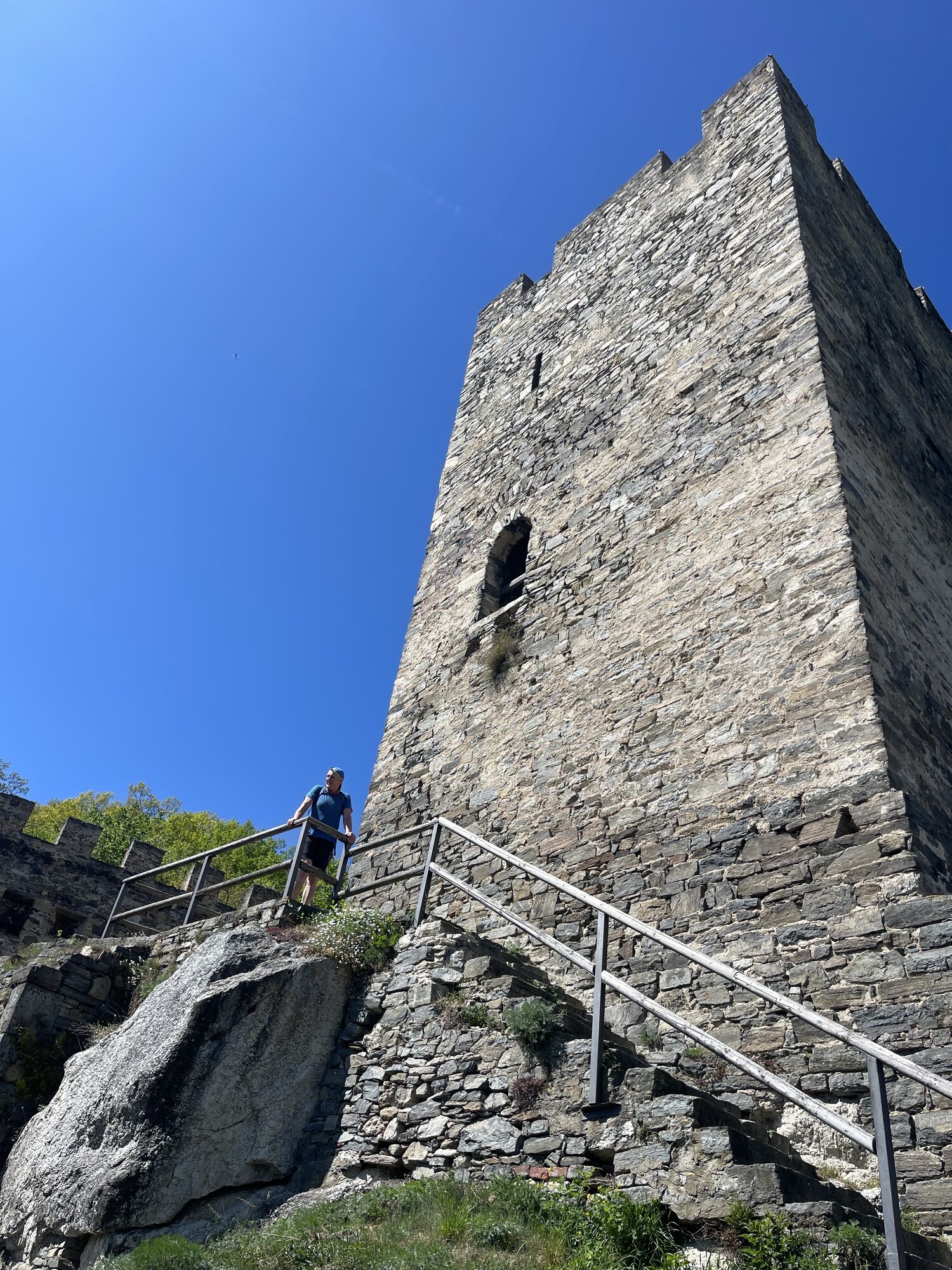

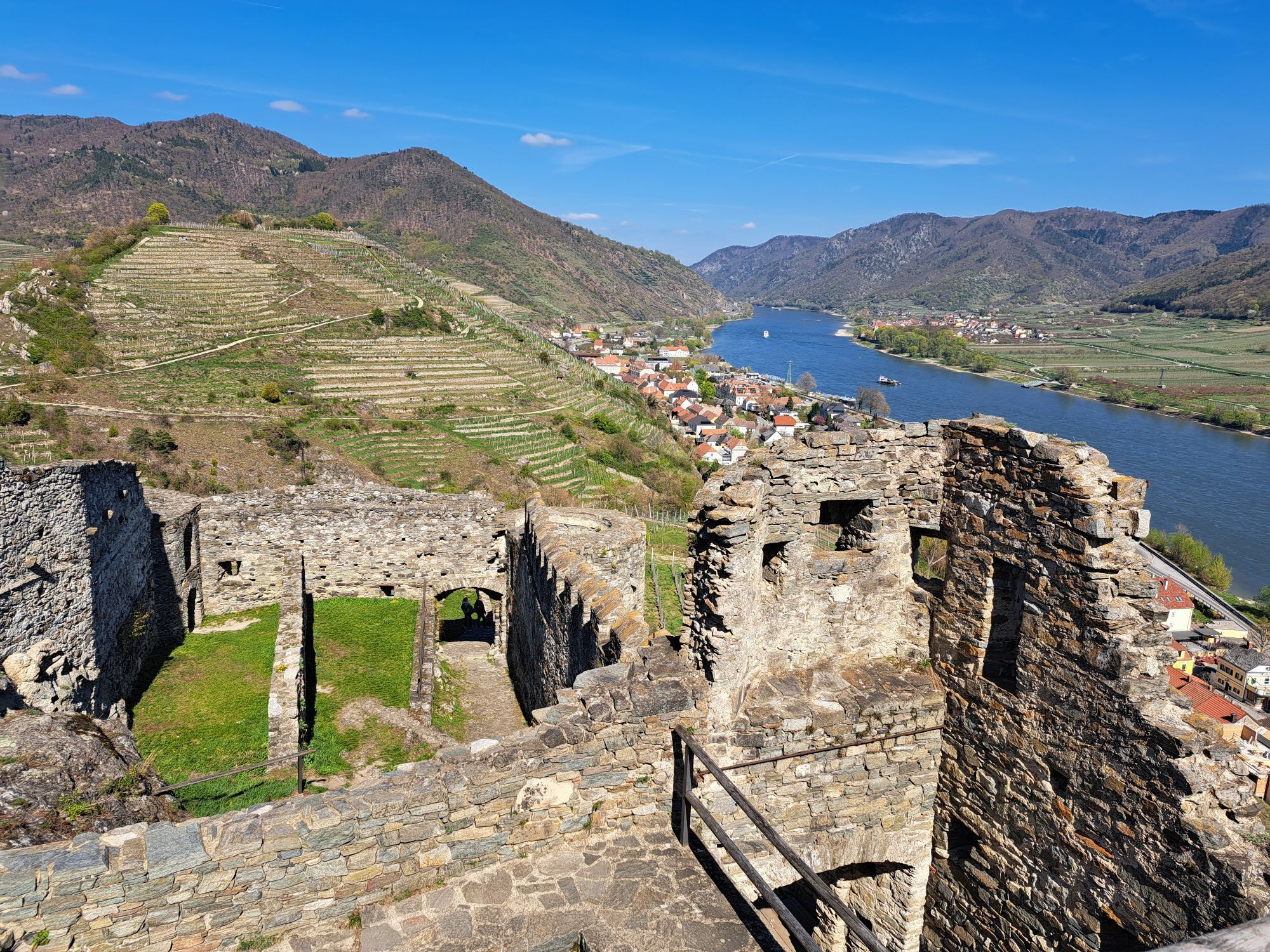
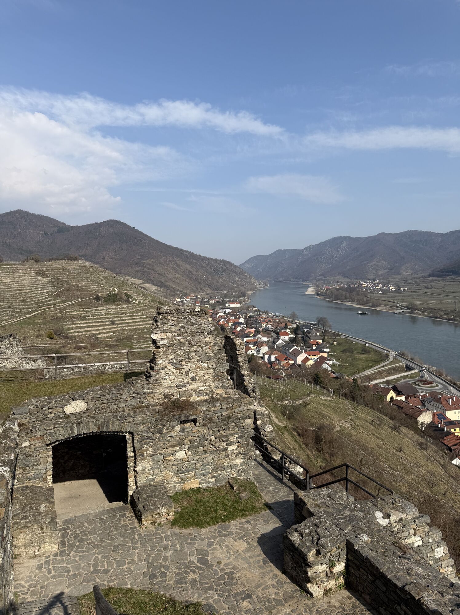
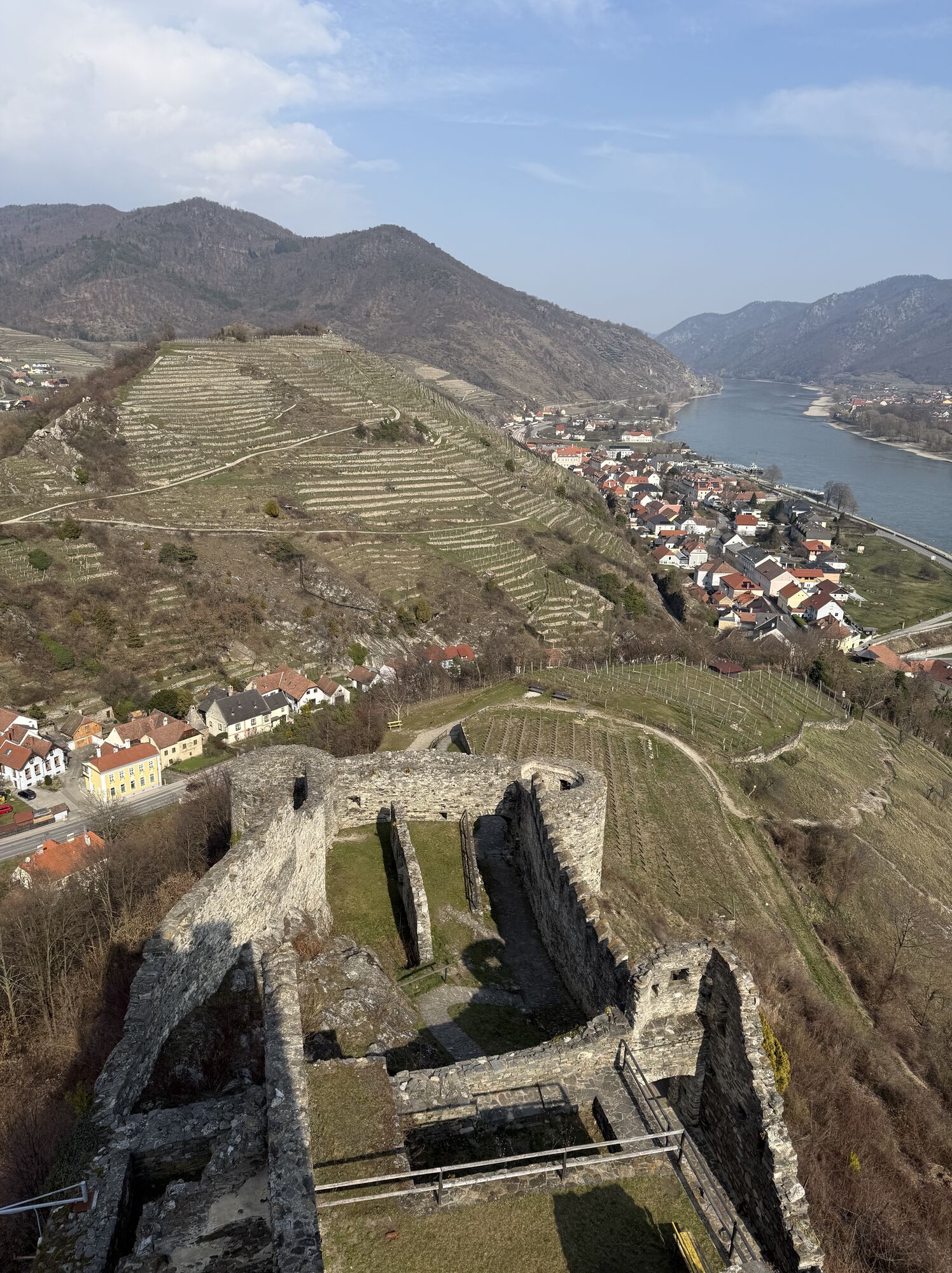
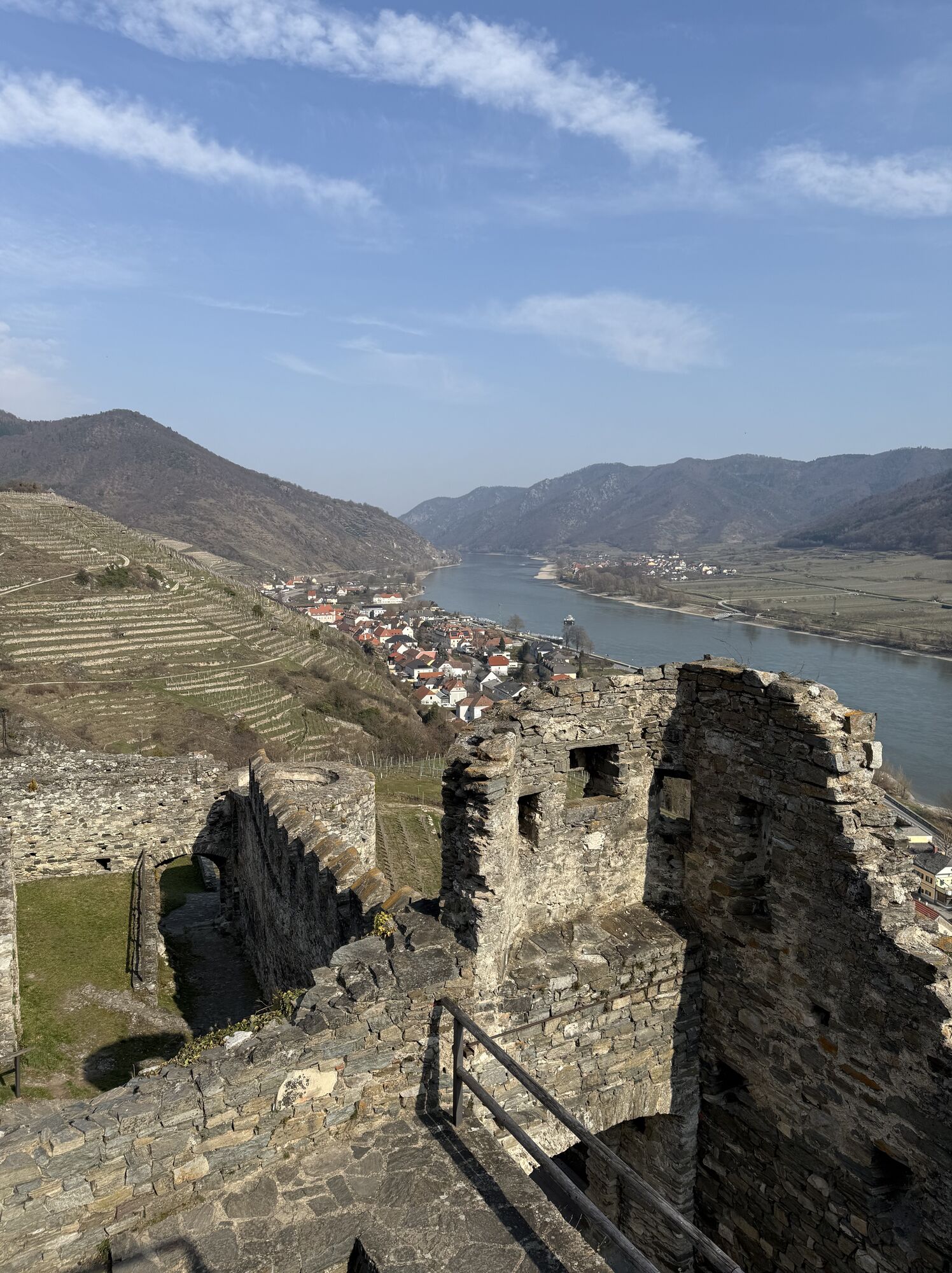
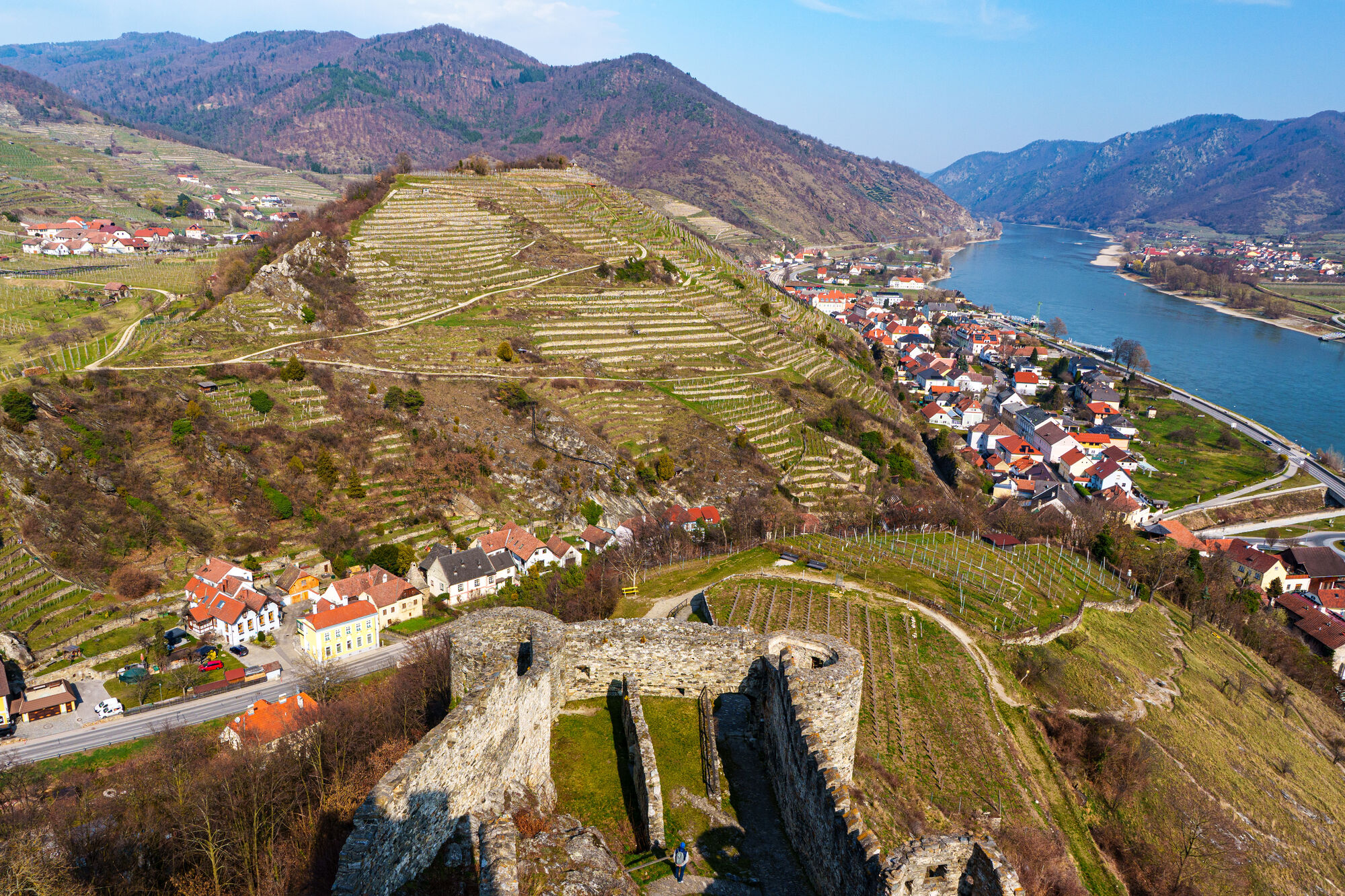
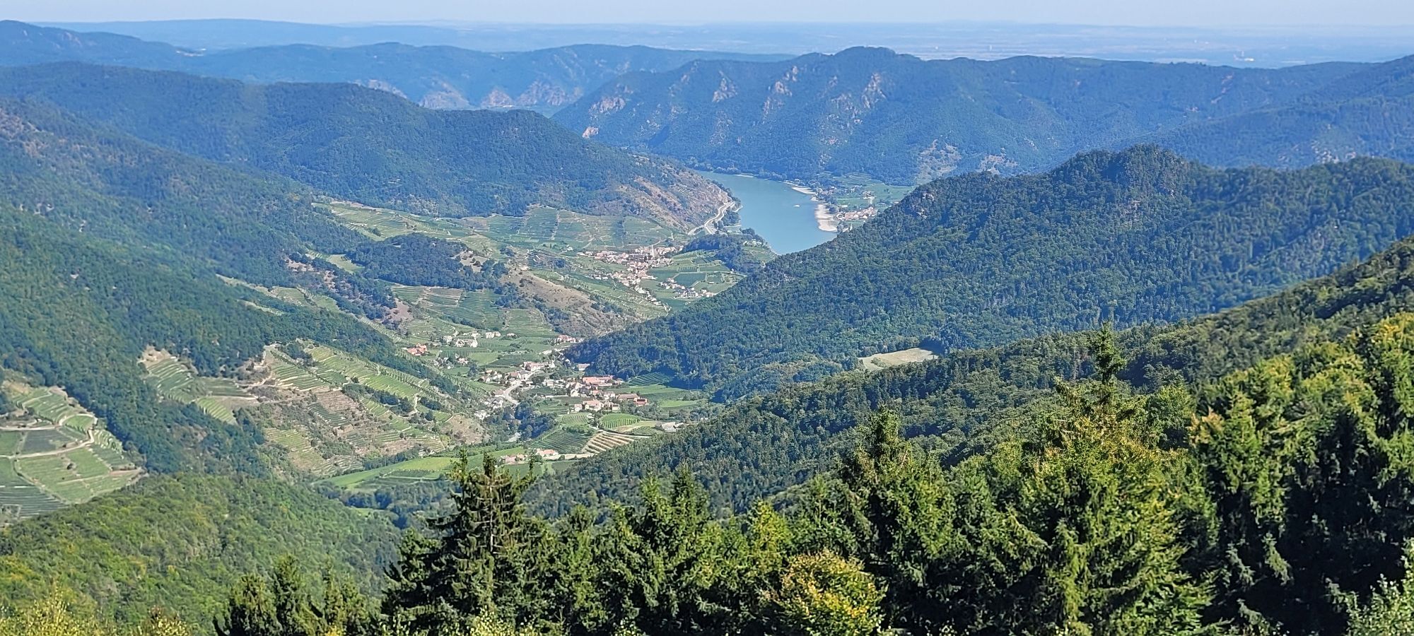
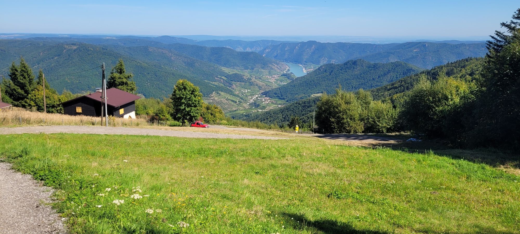
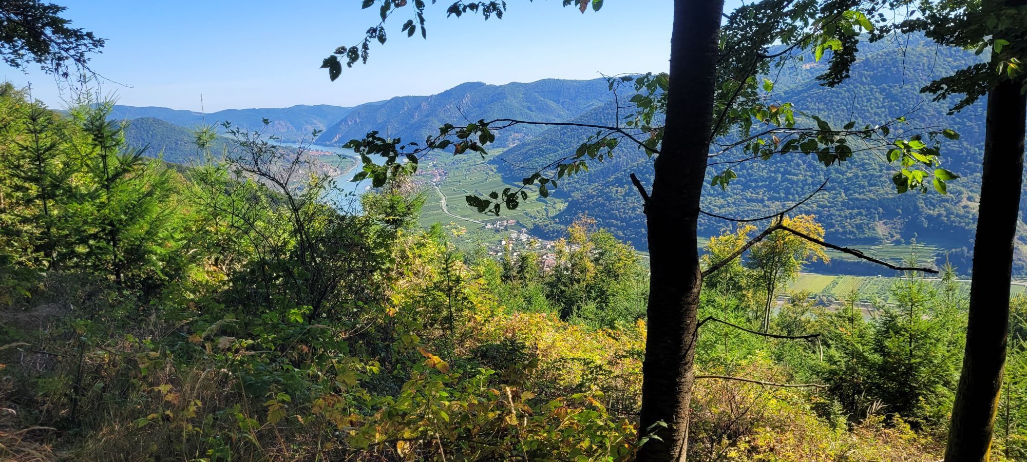
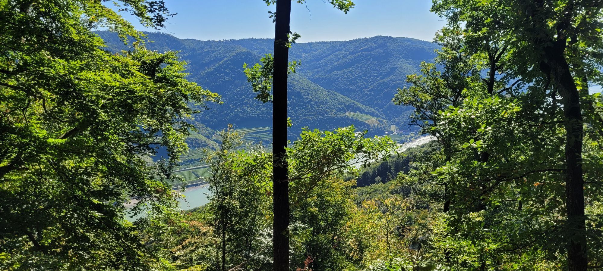
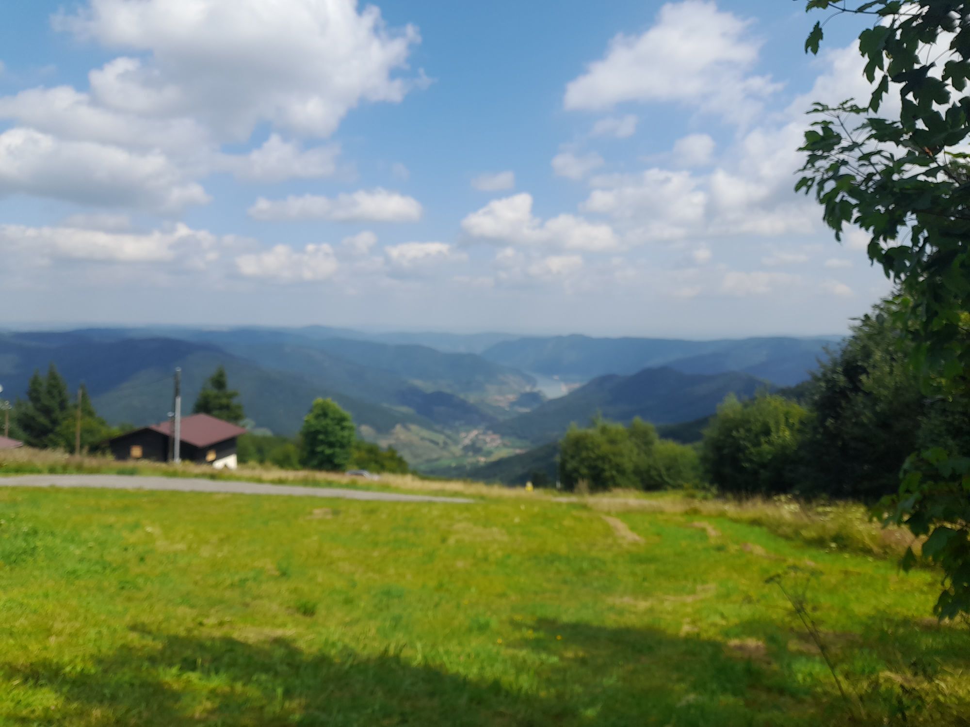
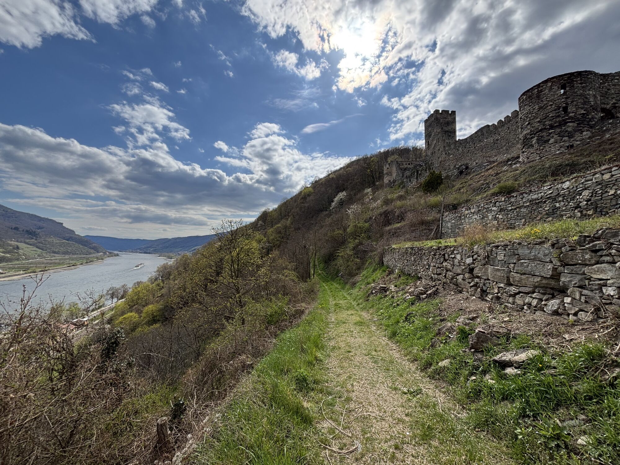
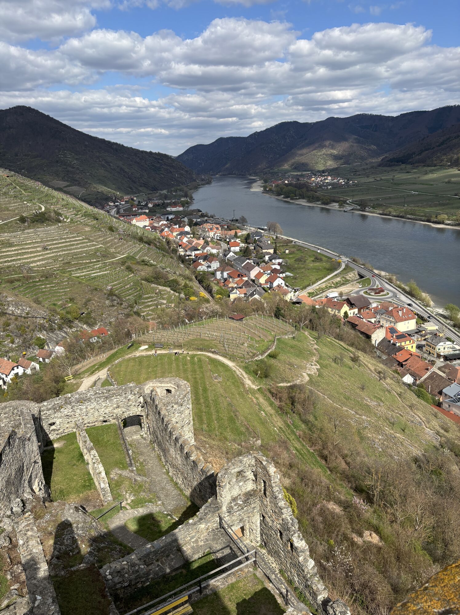
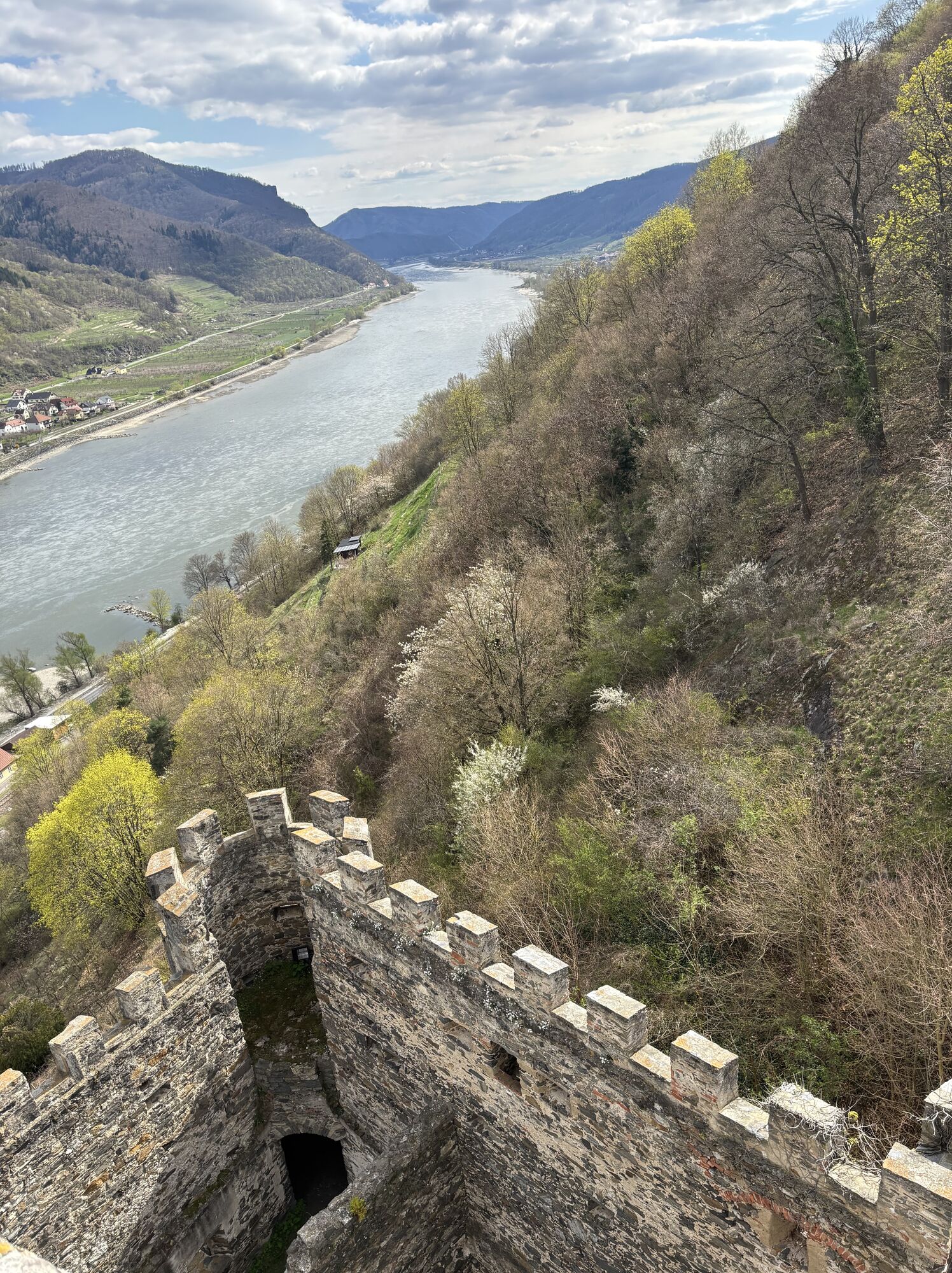
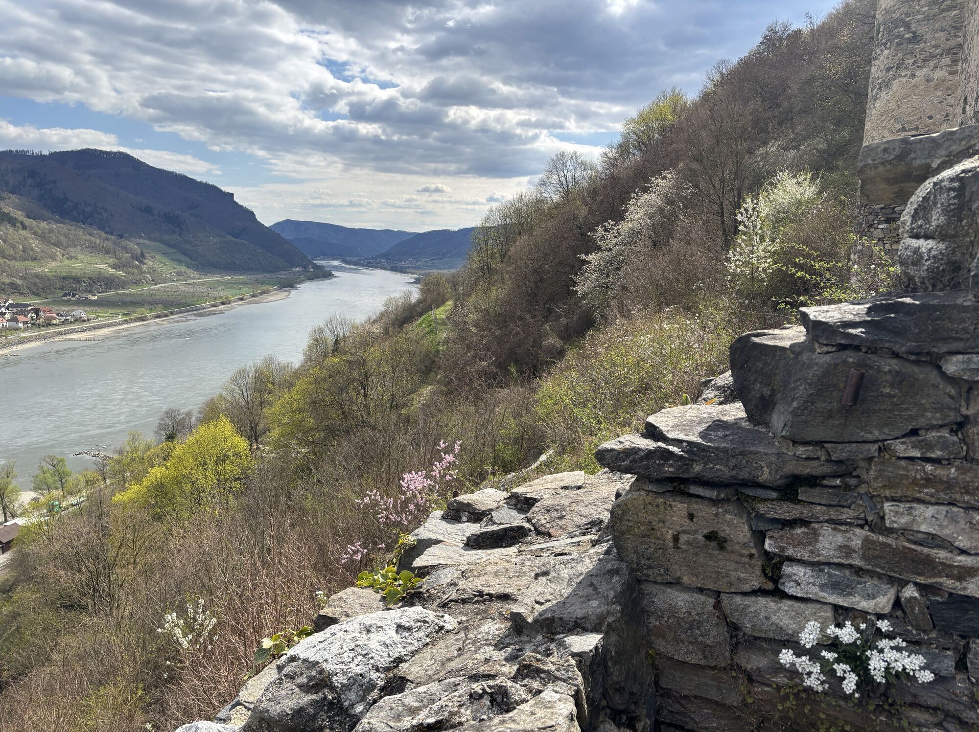
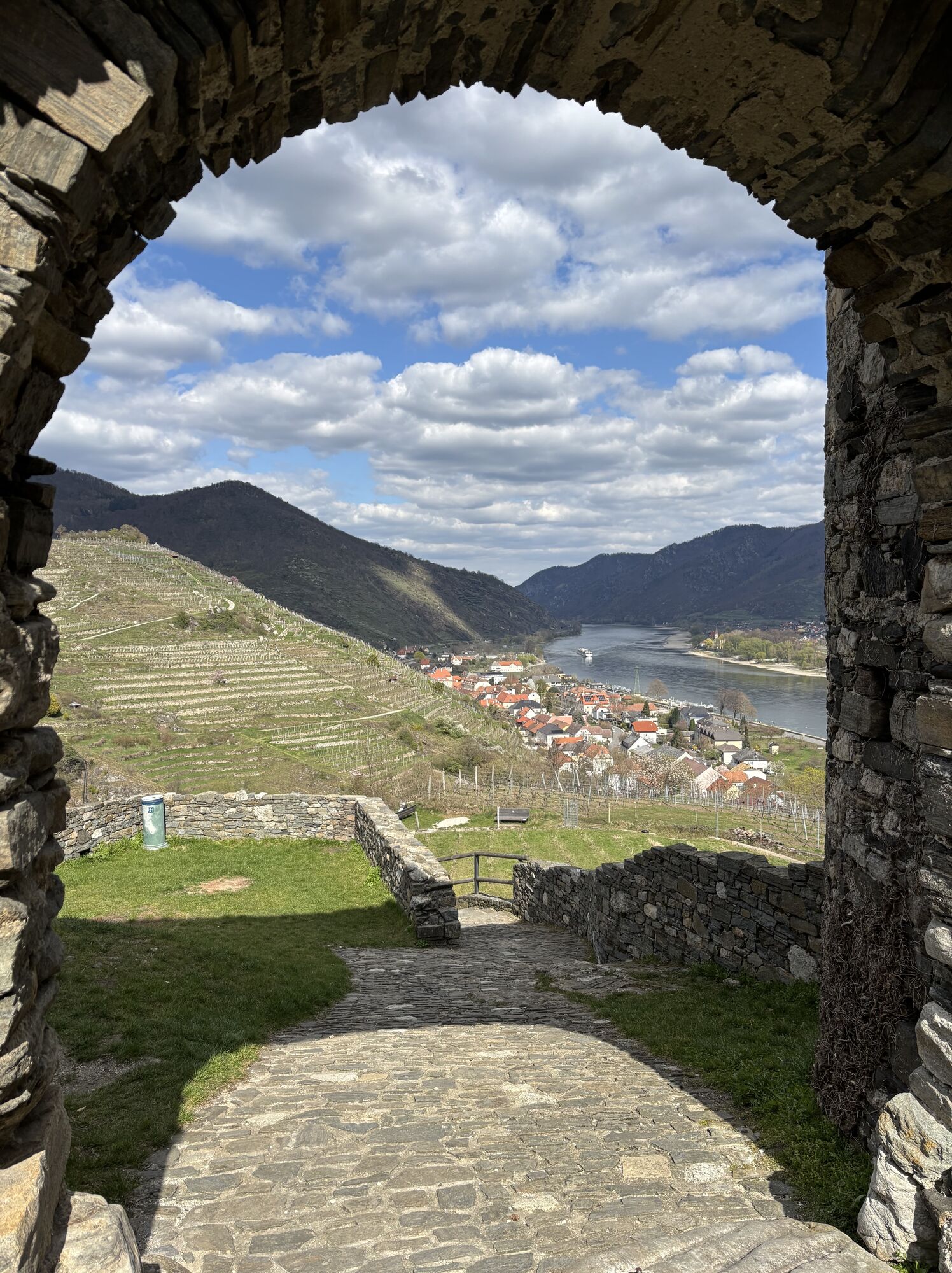
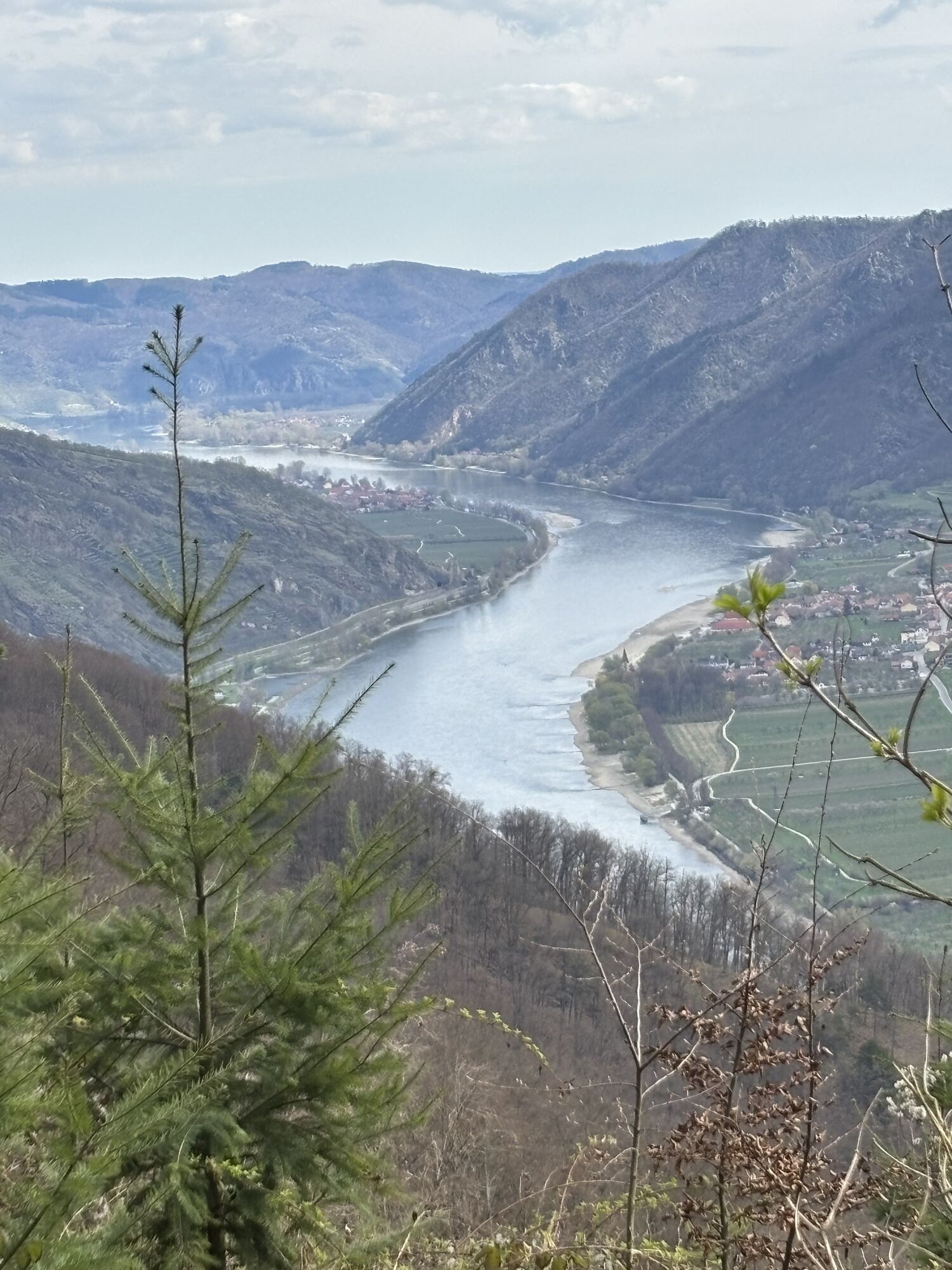
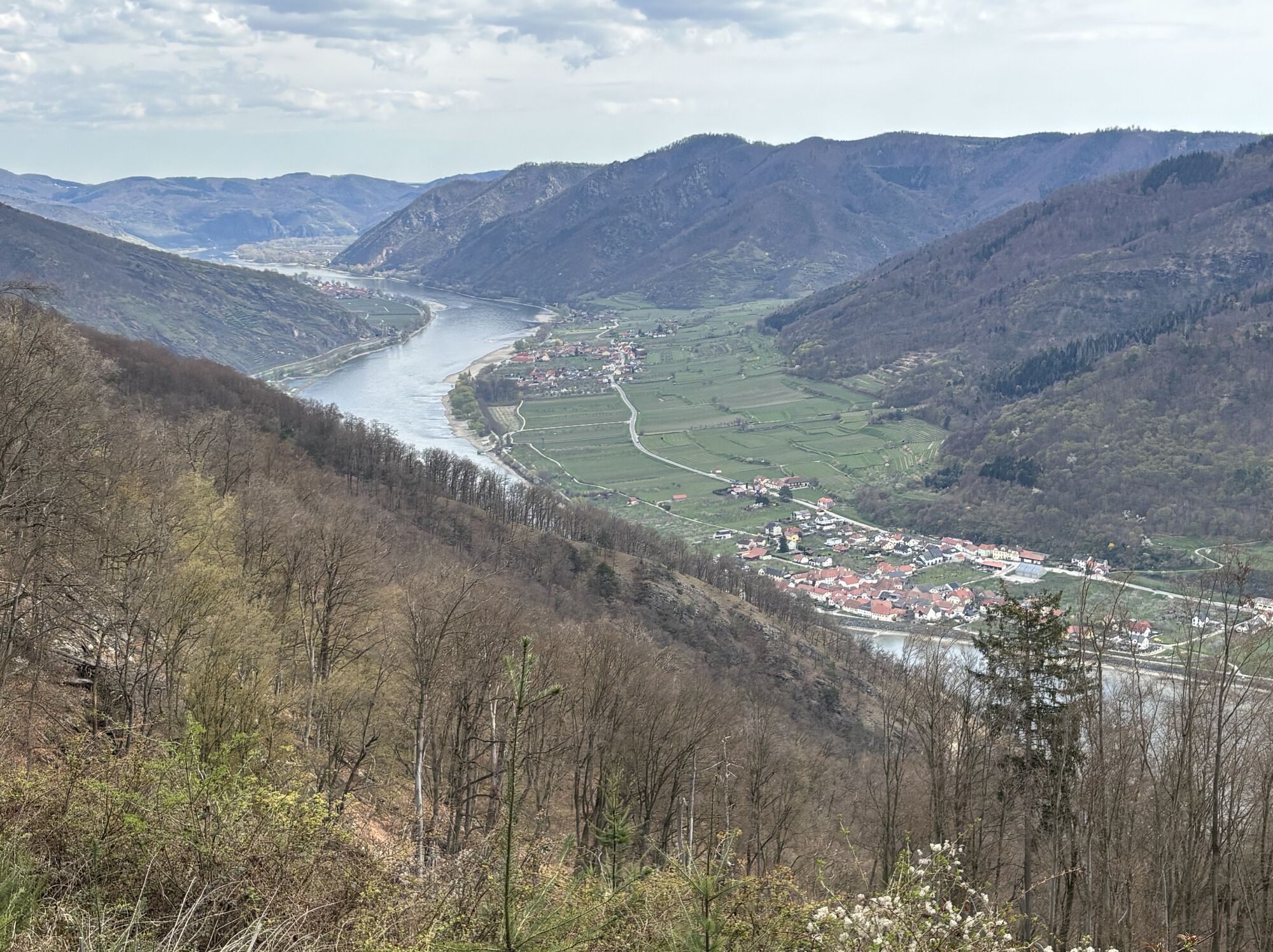
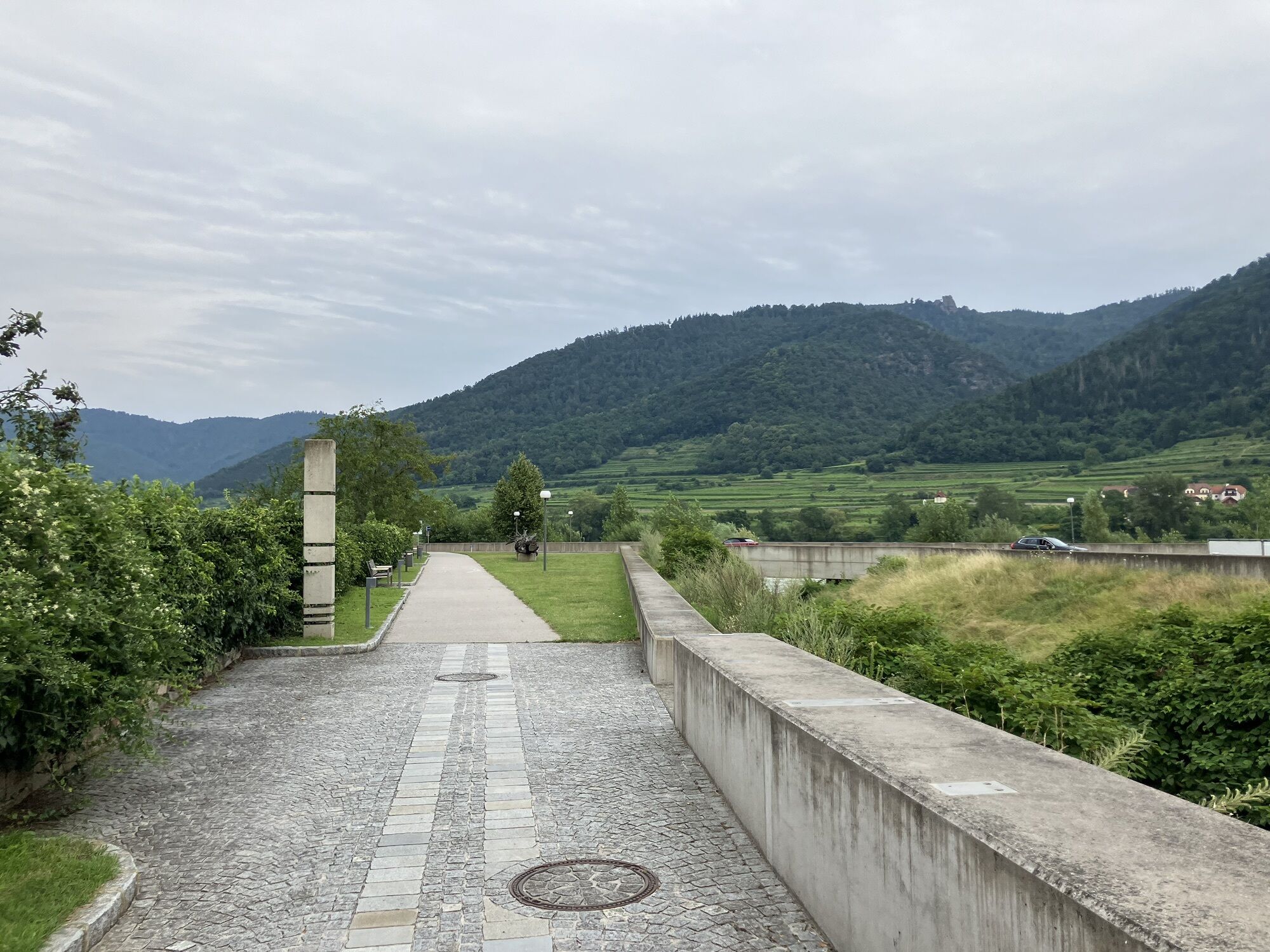
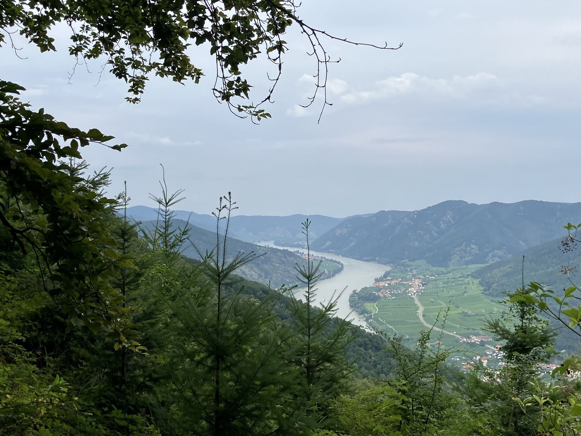
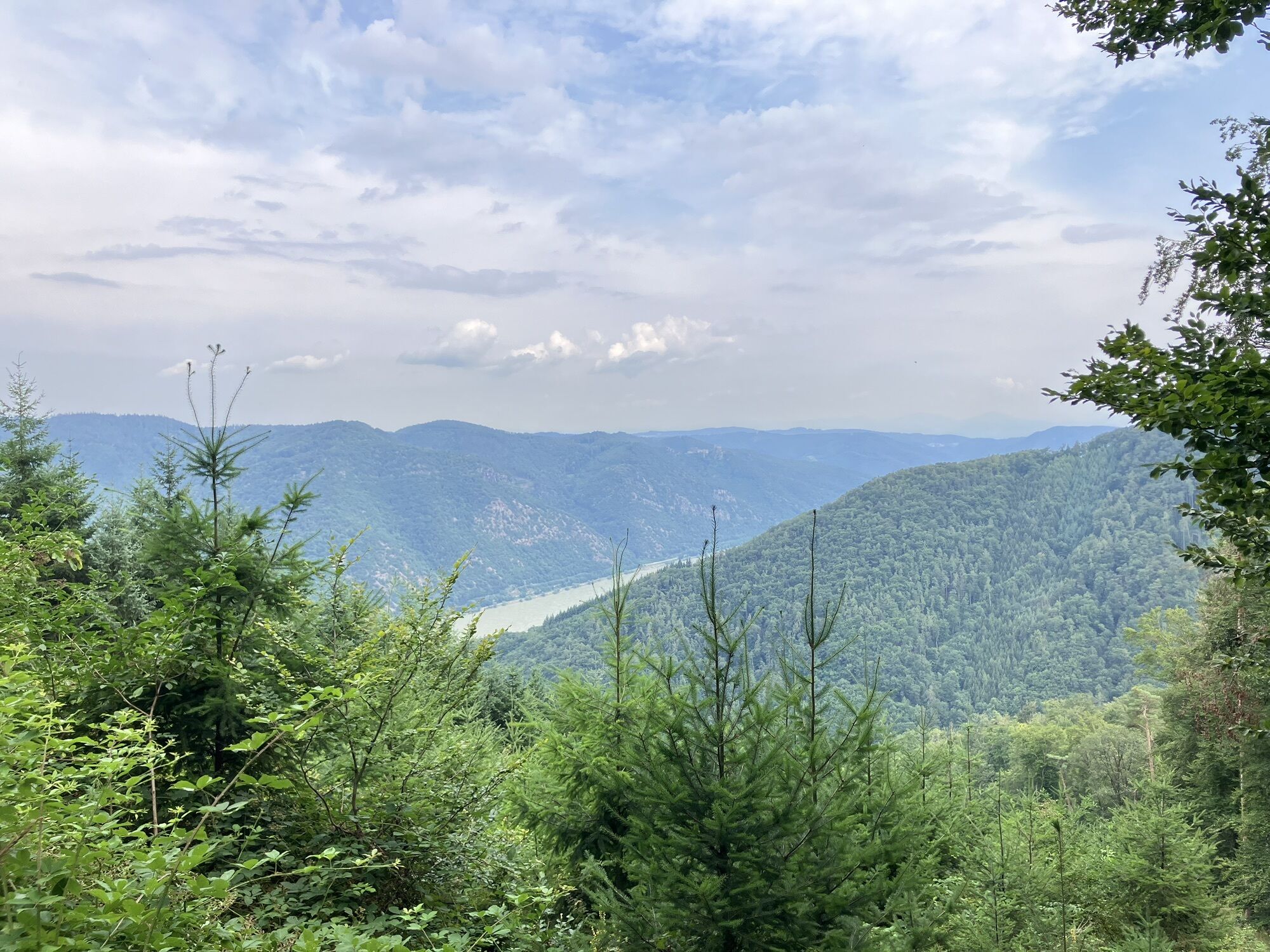


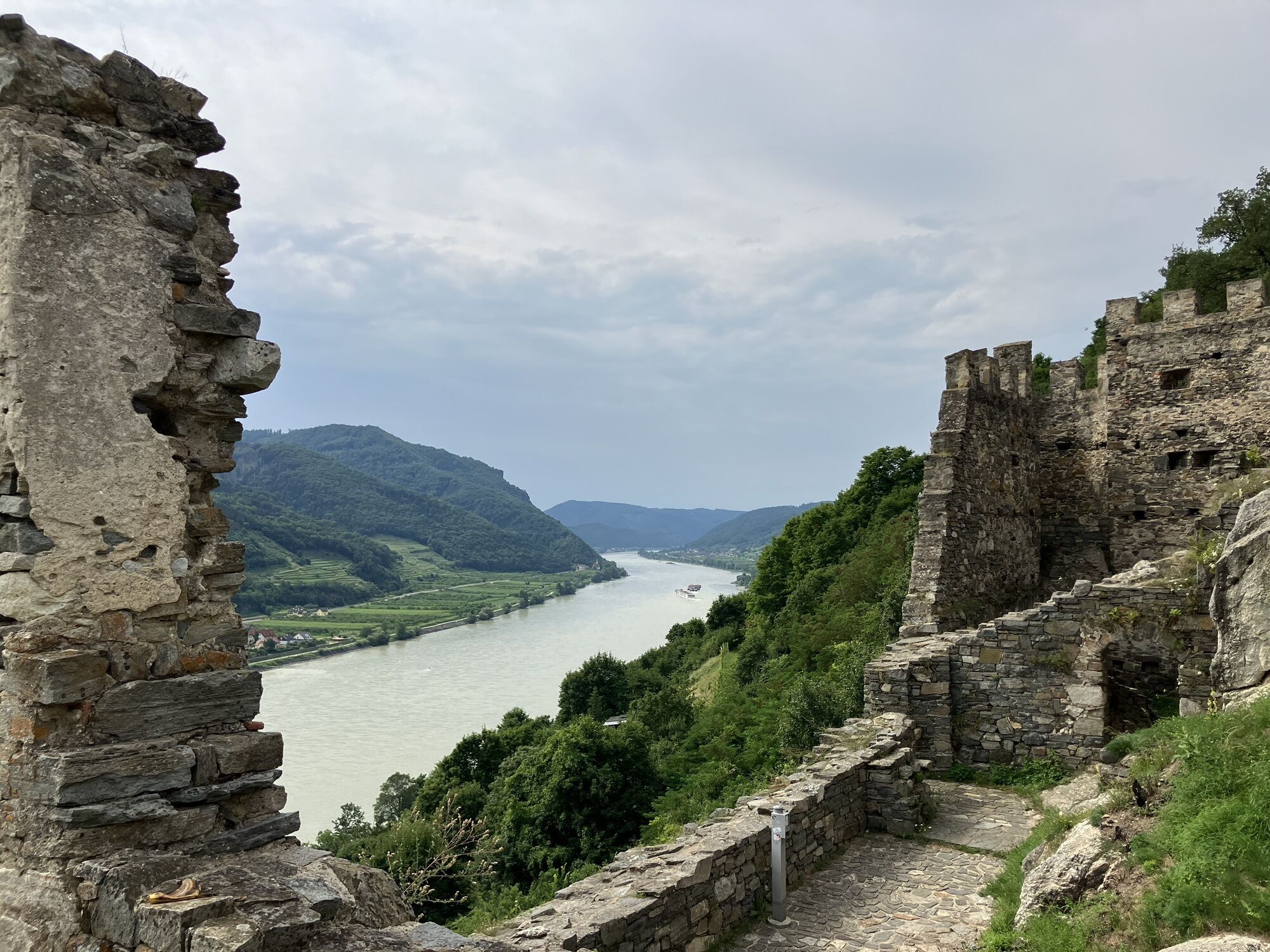
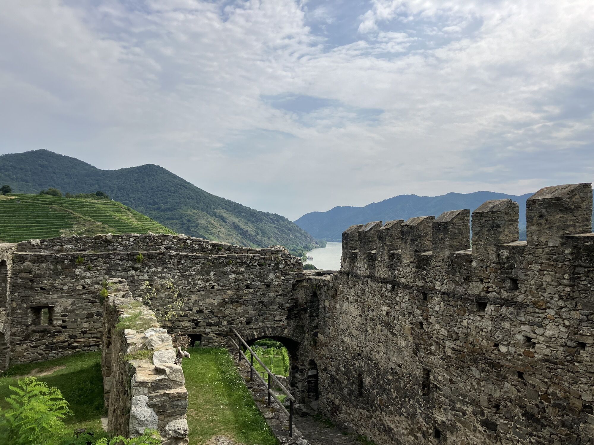
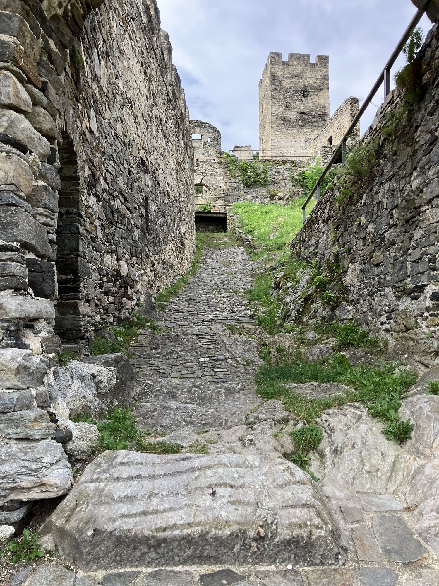
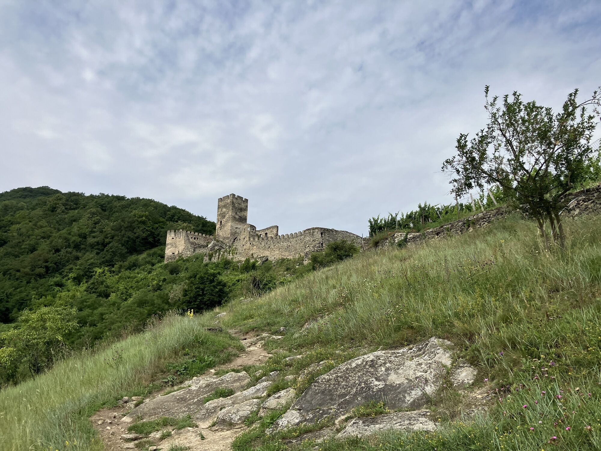
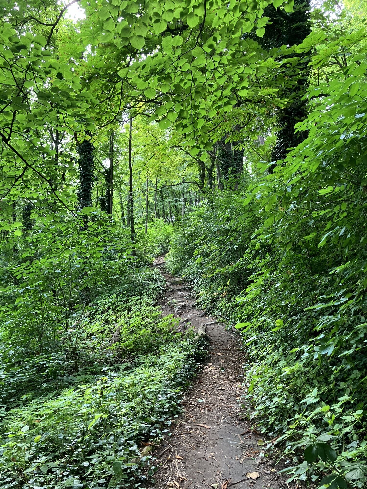
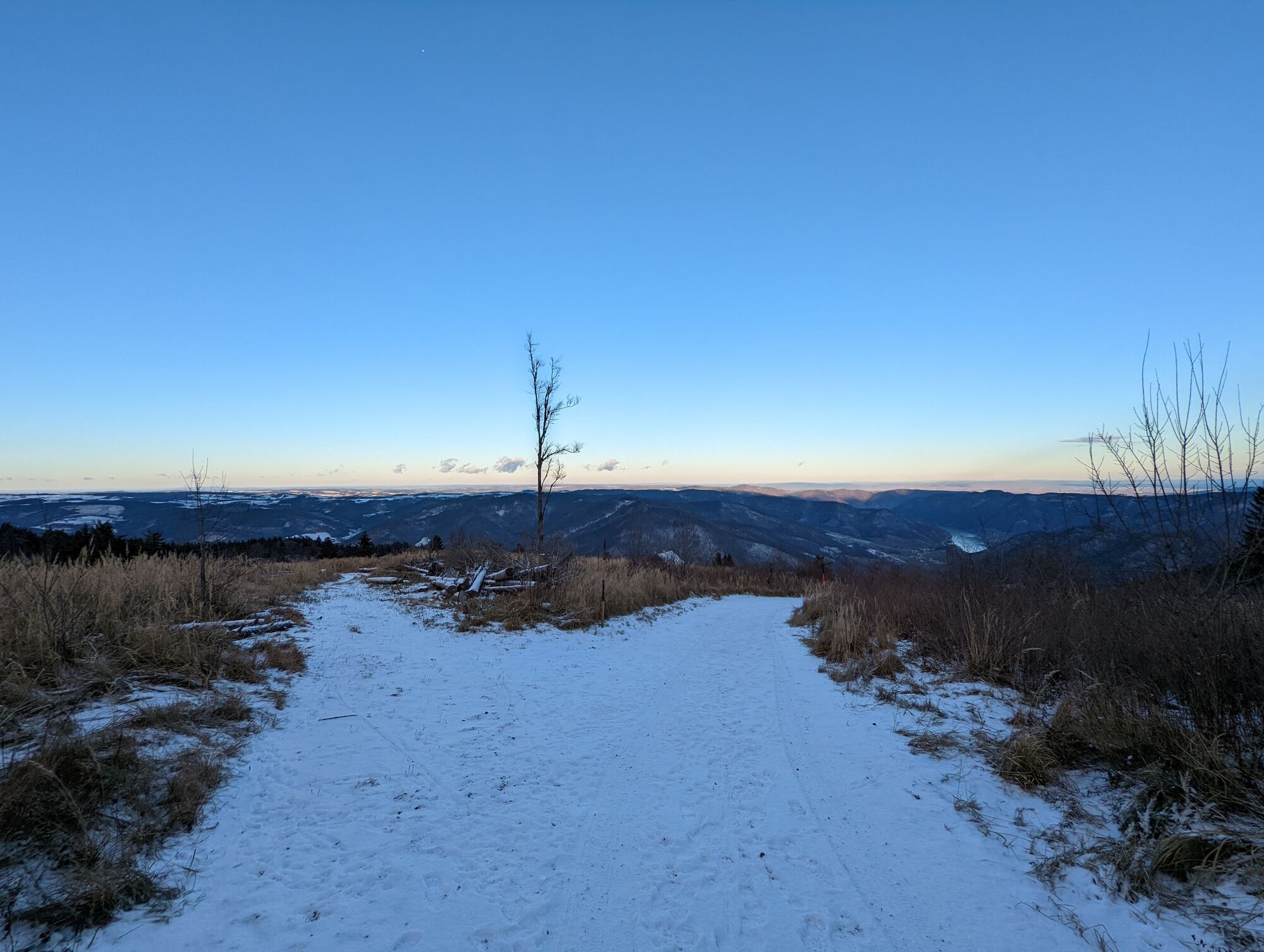
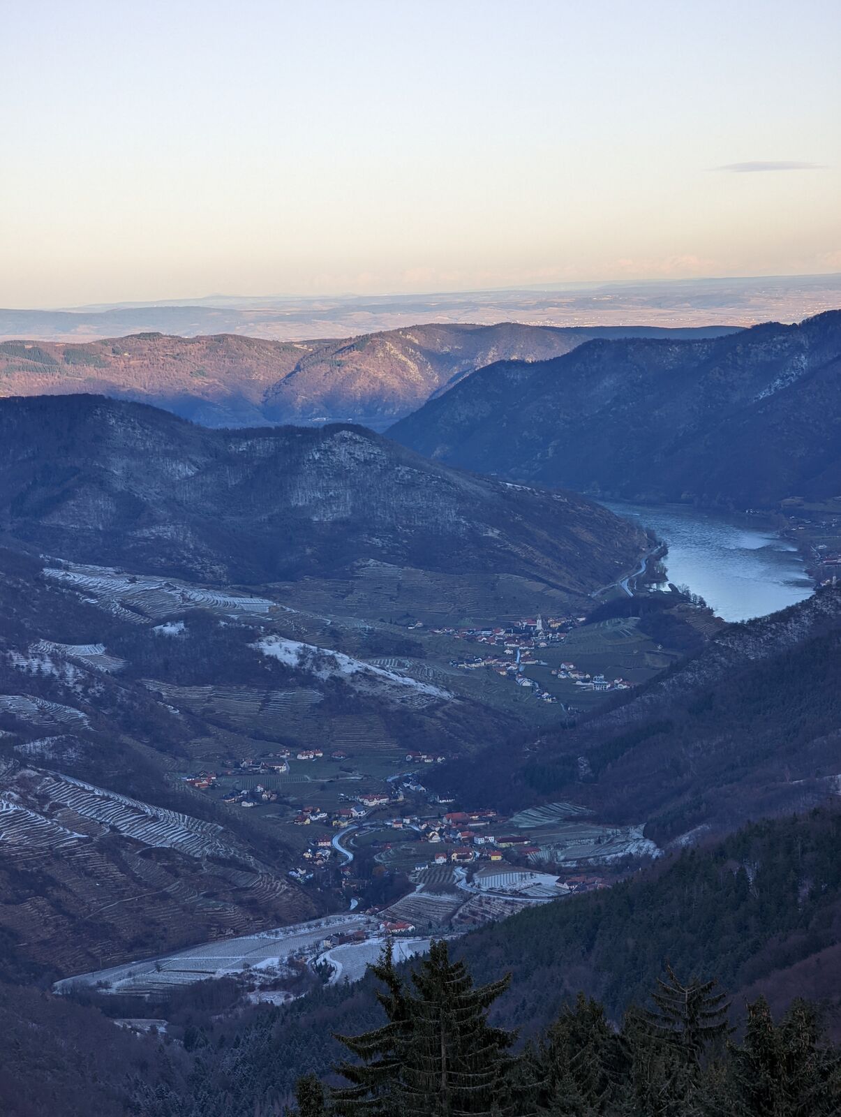
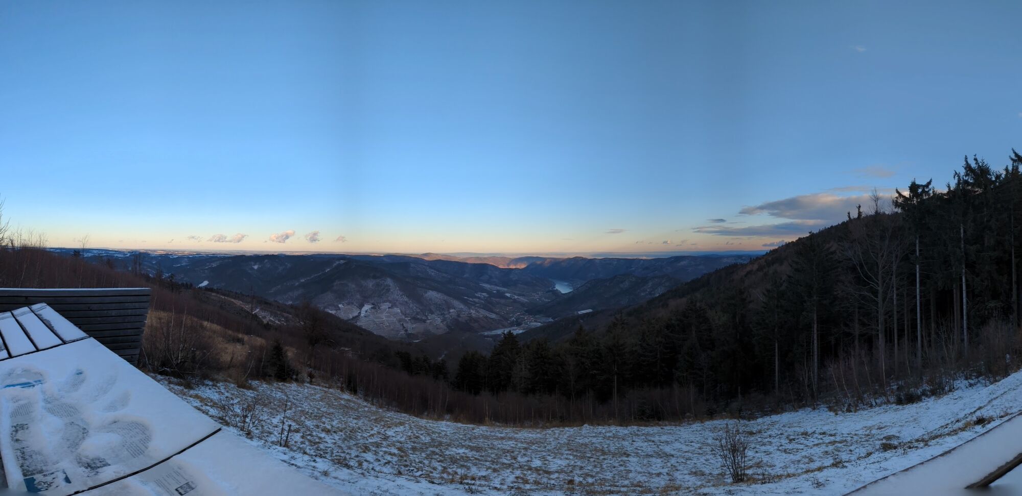

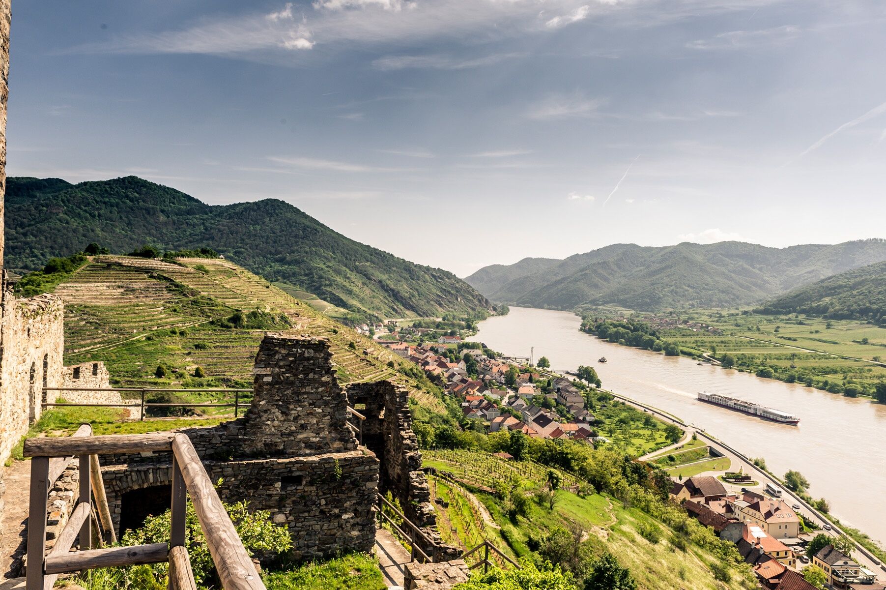
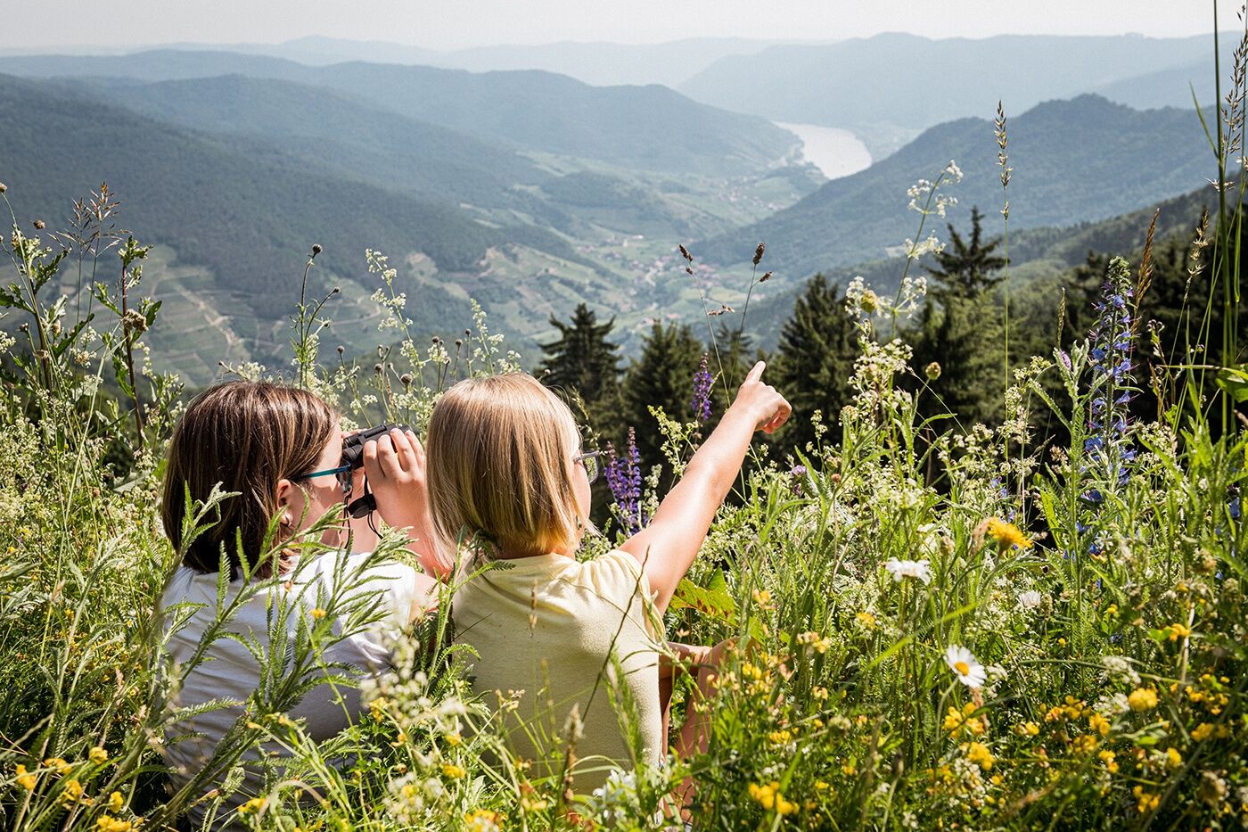
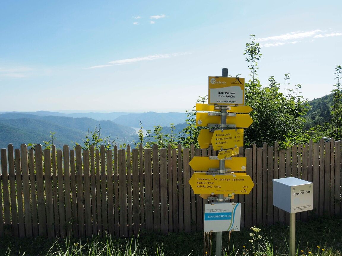
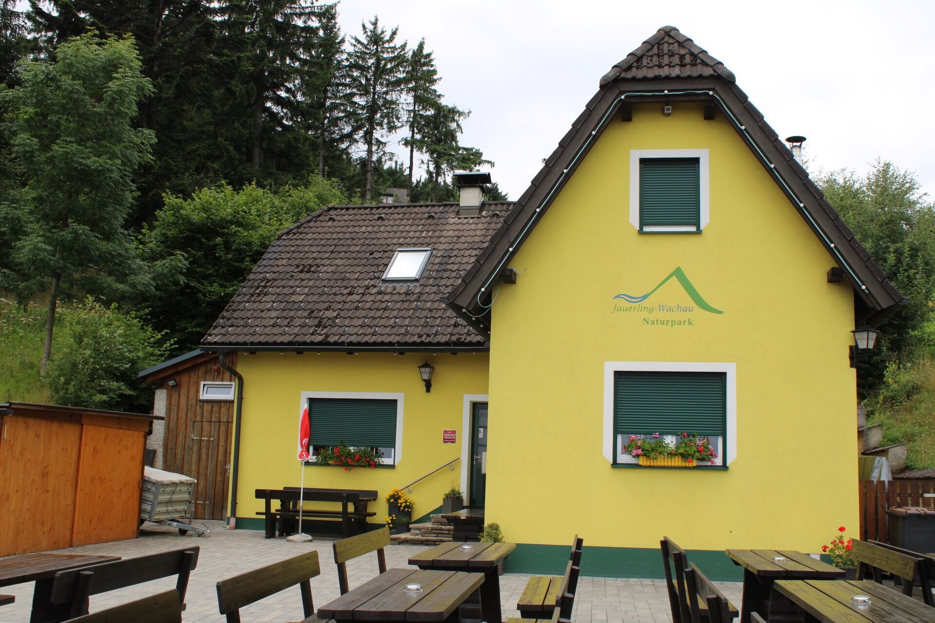
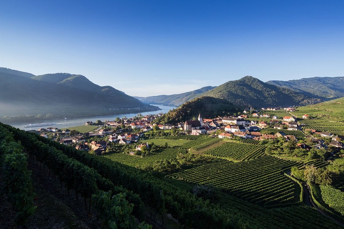
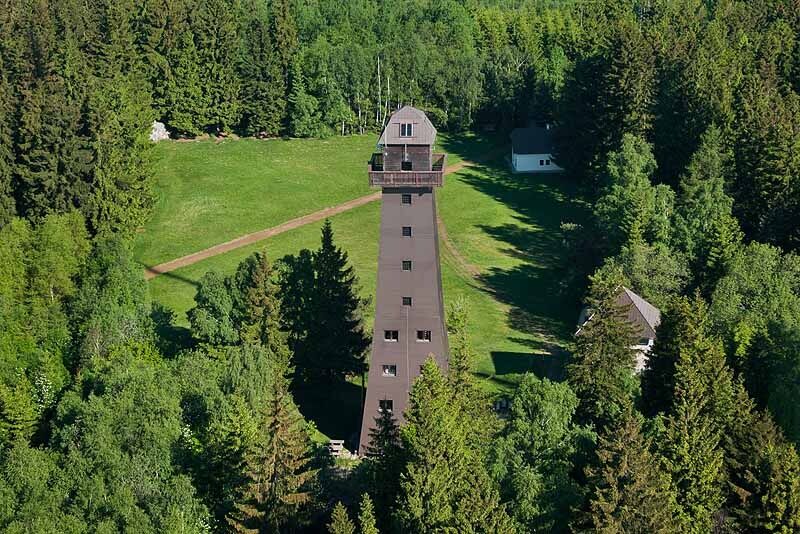
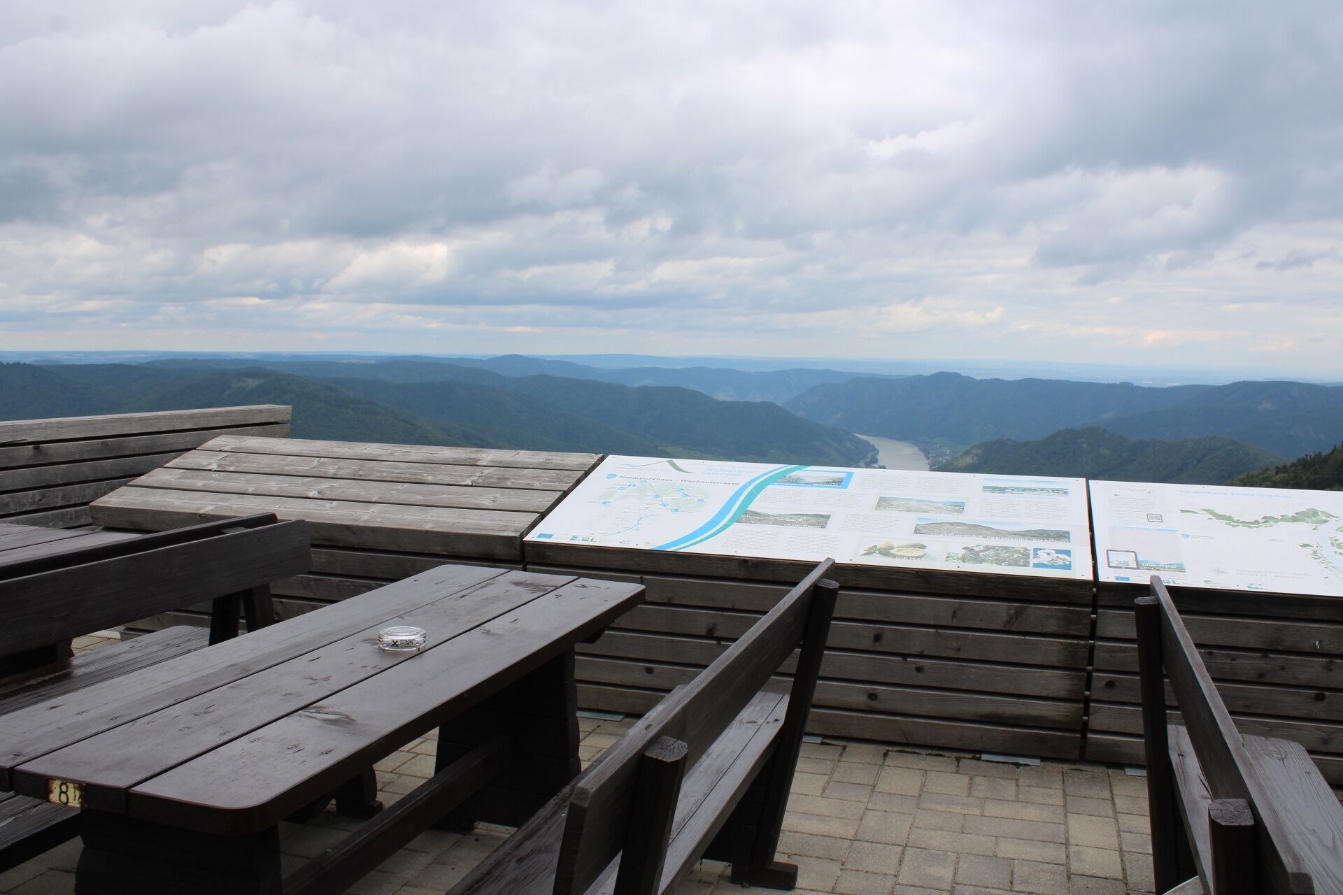

<p>The actual ascent begins in the Spitz district Hinterhaus below the eponymous castle ruin. From here, several paths lead up to the castle. From here you follow the yellow signs and the marking of the Jauerling-Runde. From the castle ruin, we leave the vineyards and enter the forest. The forest path winds its way up in switchbacks to the intersections (Steirerhöh' and "Over the Devil's Wall"). At the latter, the paths of the Jauerling-Runde split towards Aggsbach Markt/Schwallenbach and Mühldorf. We turn right and continue uphill towards the Jauerling. Below the peaks of Elfer and Zwölferkogel, we walk through bright beech forests and clearings and reach the road to the Jauerling. Here we turn left and follow the road for a few hundred meters. We turn right into the forest and leave the paved road again. After just under ten minutes, we reach the Jauerling high plateau and the hamlet of Benking, as well as the road again. We follow the road for a short stretch, cross Benking, and after the last house, an old barn, turn right into a field path. After a few minutes, we reach the spruce forest and the Hubertus Chapel. Now it is only five minutes to the nature park house - inn at Jauerling. From the Hubertus Chapel, you can also walk to the viewing platform at Jauerling (about 20 min).</p><p>The descent can be done by the same way or via path no. 4 and leads over Gut am Steg. This path is marked with yellow signs and takes about 3 hours.</p>
<p>Hiking boots, rainproof clothing, drinking water. The Wachau hiking map is available from Donau Niederösterreich Tourismus, www.wachau.at</p>
<p>Emergency call mountain rescue Wachau: 140. We point out that the ascent to the Jauerling involves over 700 meters of elevation.</p>
<p>A1 to Melk and via B3 to Spitz or via S5 or S33 to Krems and via B3 to Spitz.</p>
<p>Spitz can be reached by bus line WL715 hourly from the train stations Melk and Krems, timetables at <a href="www.vor.at">www.vor.at</a&... A detailed timetable "<a href="www.donau.com/de/donau-niederoesterre... in der Wachau</a>" is available from Donau Niederösterreich Tourismus. With the Wachaubahn, running between April and November, Spitz is reachable from Emmersdorf or Krems: <a href="www.noevog.at"> www.noevog.at</a>.</p><p>Two stations of the rental bike Nextbike (€1.-/hour) are located in Spitz at the train station and at the ferry. Info at +43(0)2742/22-9901 and online.</p>
<p>Danube embankment, train station or Spitz Castle</p>
Opening hours nature park house - inn at Jauerling: May 1 to October 31: daily except Wednesday; November 1 to April 30: Thursday to Sunday, warm kitchen throughout, Tel +43(0)2713/30017 www.naturpark-gasthaus.at. Viewing platform: April to November daily 9:30 am to 6:00 pm, https://aussichtswarte-jauerling.jimdo.com/
As a place to eat and overnight, we recommend the certified Best of Wachau businesses www.bestof-wachau.at.
If you combine the ascent via Spitz with the descent to Mühldorf, it results in a recommended crossing of the Jauerling - stage 07 Mühldorf-Spitz of the Jauerling-Runde.
Sights in Spitz: Spitz Shipping Museum, Hinterhaus Ruin, Historic Merchant's Shop.
At Hoher Jauerling, the nature park offers a theme trail. The path "over us the wide, wide sky" is well suited for a walk and provides information about the Jauerling, the nature park communities, and the flora and fauna in the region. Younger hikers also find motivation to walk through the forest along the 10 stations, which can be explored with an app. More information (including map and audio sample) at http://www.naturpark-jauerling.at/?page_id=3828.
The ski hut at Jauerling also invites you to stop by in summer. Opening hours: Wed, Thu, Sun 11 am–6 pm, Fri-Sat: 11 am–8 pm. The large parking lot at the ski lift is available free of charge as a motorhome parking space in summer.
Spletne kamere s turneje

Priljubljeni izleti v okolici
-
4.4
Welterbesteig Wachau 02: Dürnstein-Weißenkirchen
svetlobaPohodništvo v daljavo 15.9 km -
4.4
Welterbesteig Wachau 03: Weißenkirchen-Spitz
svetlobaPohodništvo v daljavo 10.4 km -
4.7
Welterbesteig Wachau 01: Krems-Dürnstein
svetlobaPohodništvo v daljavo 12.3 km -
4.8
Vogelbergsteig -Kanzel- Fesselhütte - Ruine Dürnstein zum Heurigen in Furth
srednjaPohodništvo 7.59 km -
4.7
Wachau: Seekopf - Hirschwand
srednjaPohodništvo 10.4 km -
4.7
Rundhöhenwanderweg Weißenkirchen in der Wachau - Schildhütten - Cholerakreuz - Weißenkirchen
svetlobaPohodništvo 8.70 km -
4.6
Krems (Welterbesteig) - Dürnstein - Vogelbergsteig - Kanzel - Fesslhütte - Krems
srednjaPohodništvo 18.0 km -
4.6
AGGSTEIN Ruine, Aggstein, Druidentürme und zurück 20241019
srednjaPohodništvo 7.50 km -
4.6
Maria Langegg - Rote Wand - Hoher Stein - Kastlkreuz
srednjaPohodništvo 11.4 km -
4.5
Panoramaweg Weissenkirchen
svetlobaPohodništvo 5.04 km
Pohodništvo in sledenje


Ne zamudite ponudb in navdiha za naslednje počitnice
Vaš e-poštni naslov je bil dodan na poštni seznam.





