






Kamp-Thaya-March cycle route

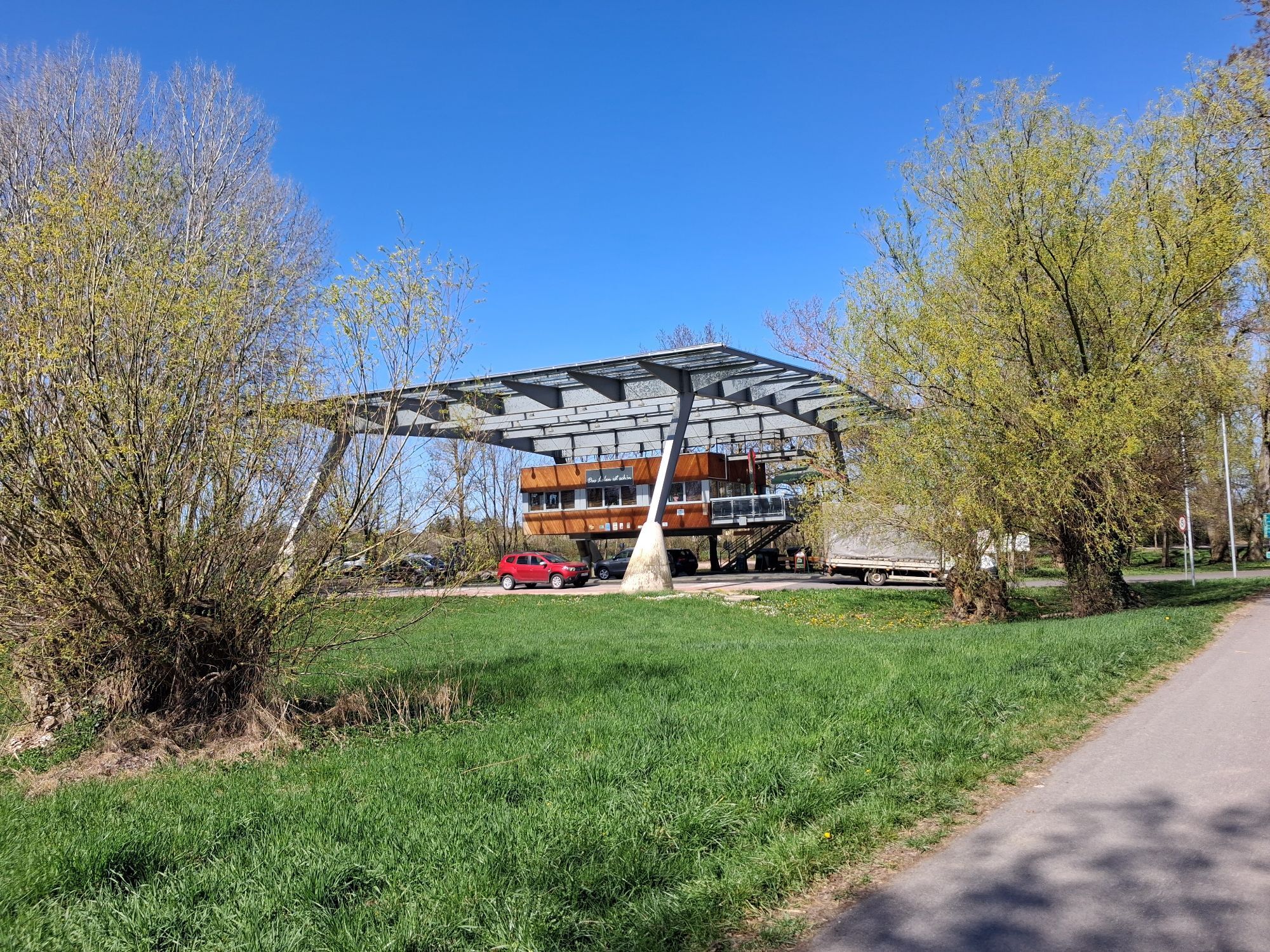
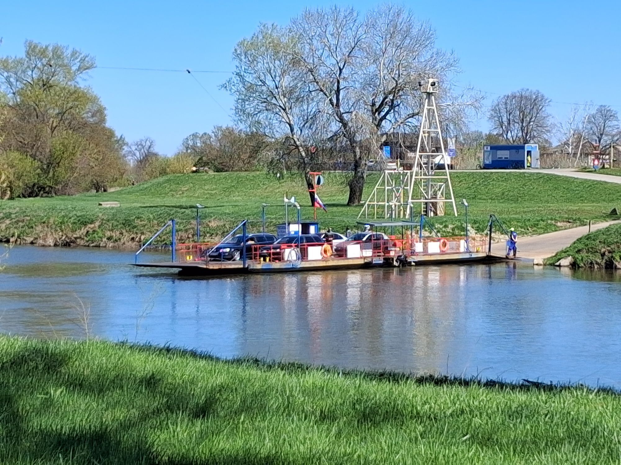
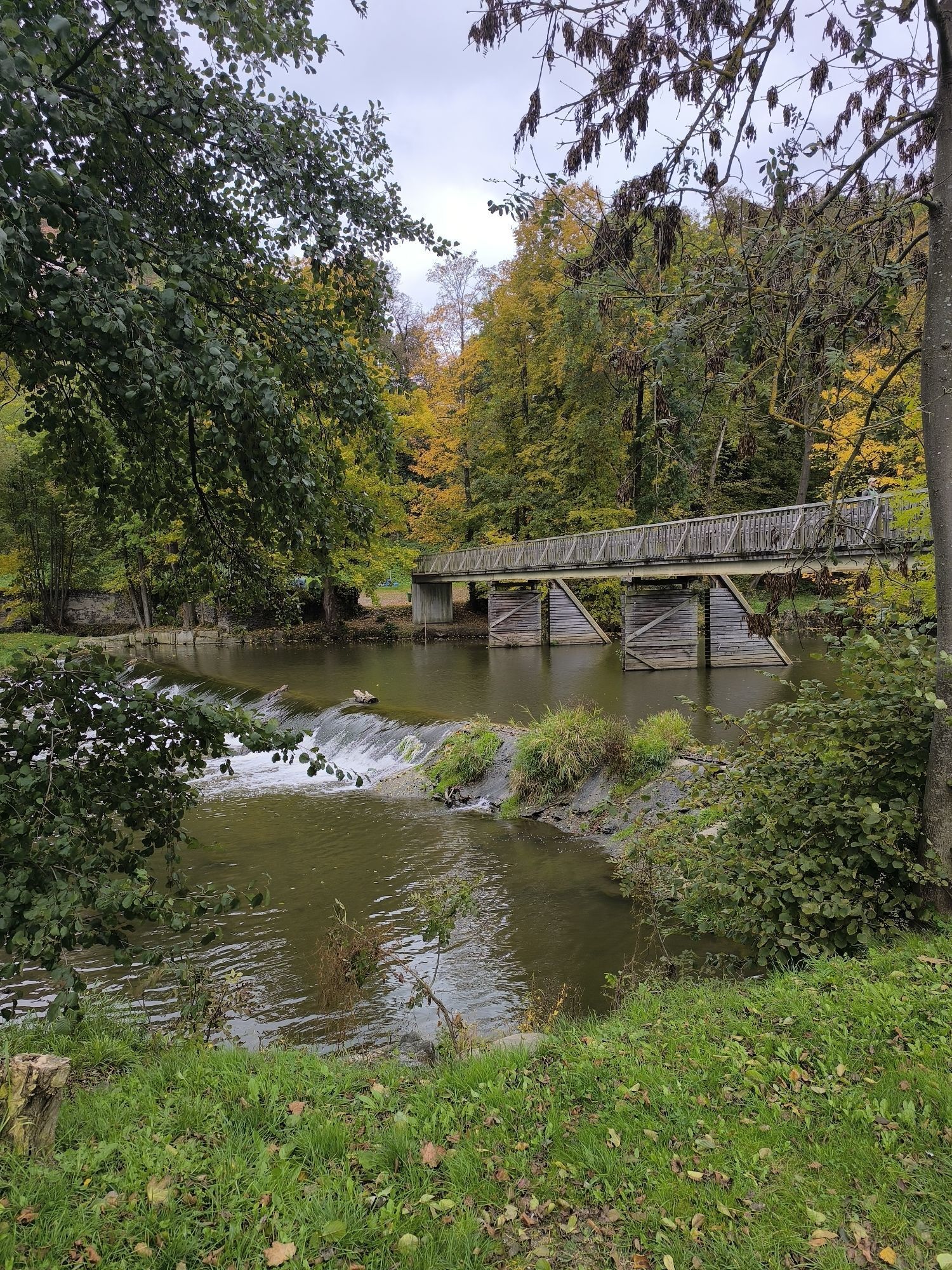
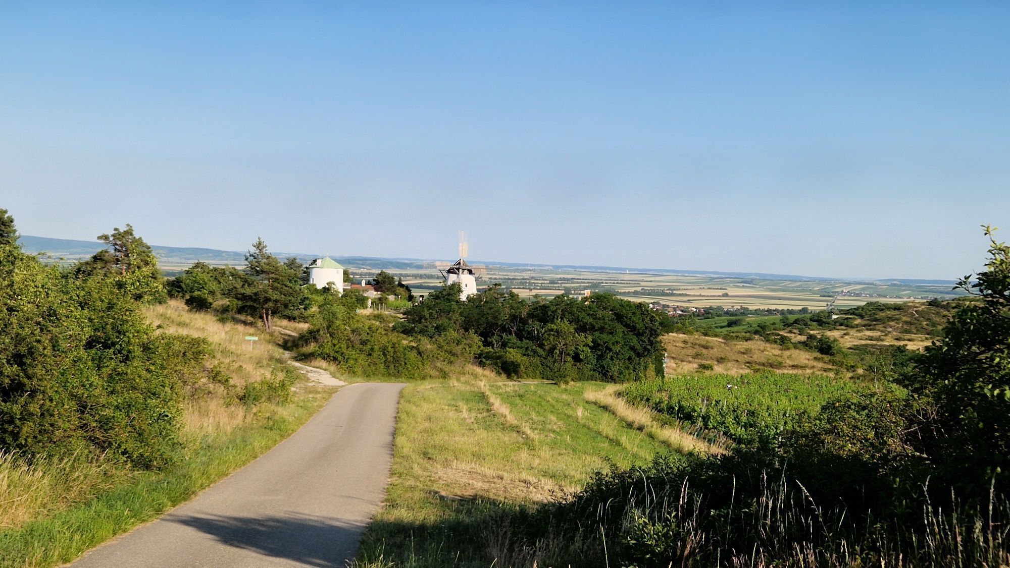
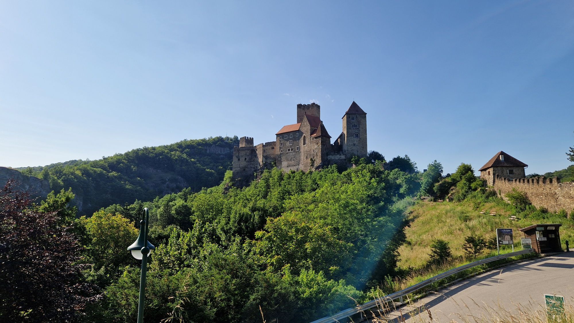
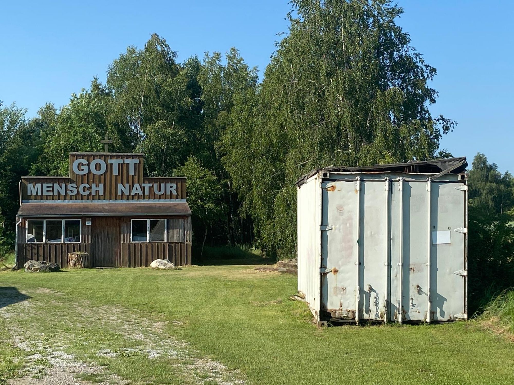
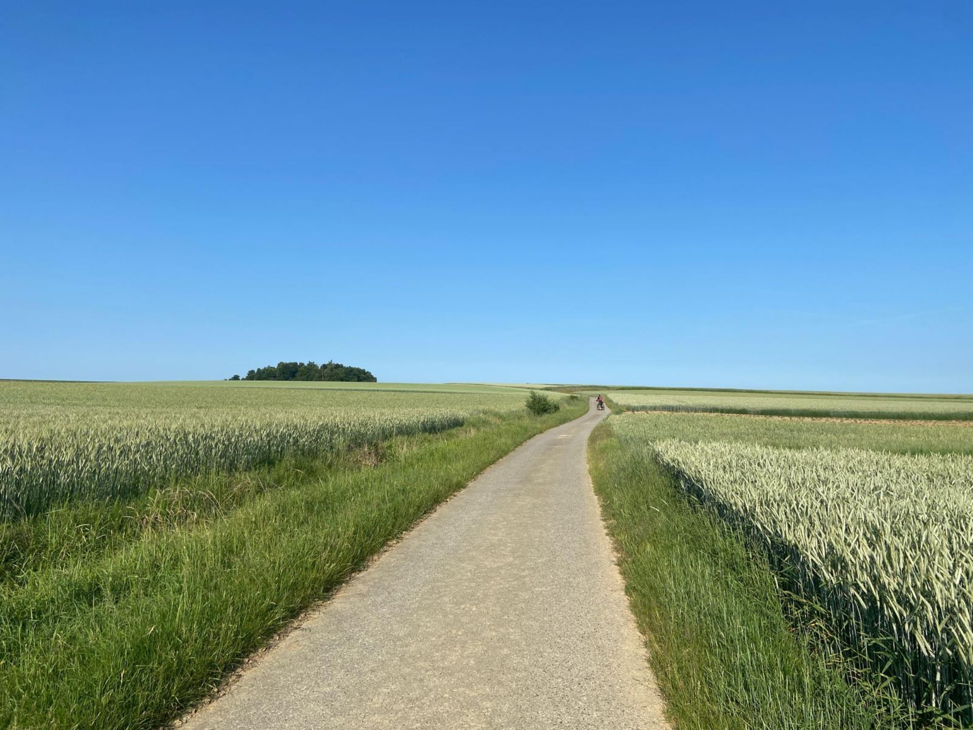
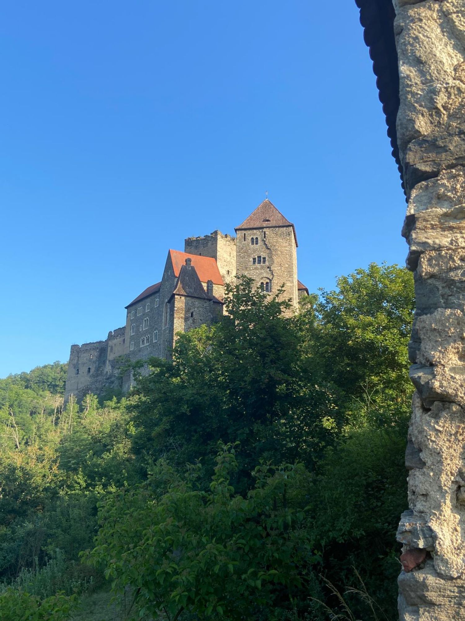
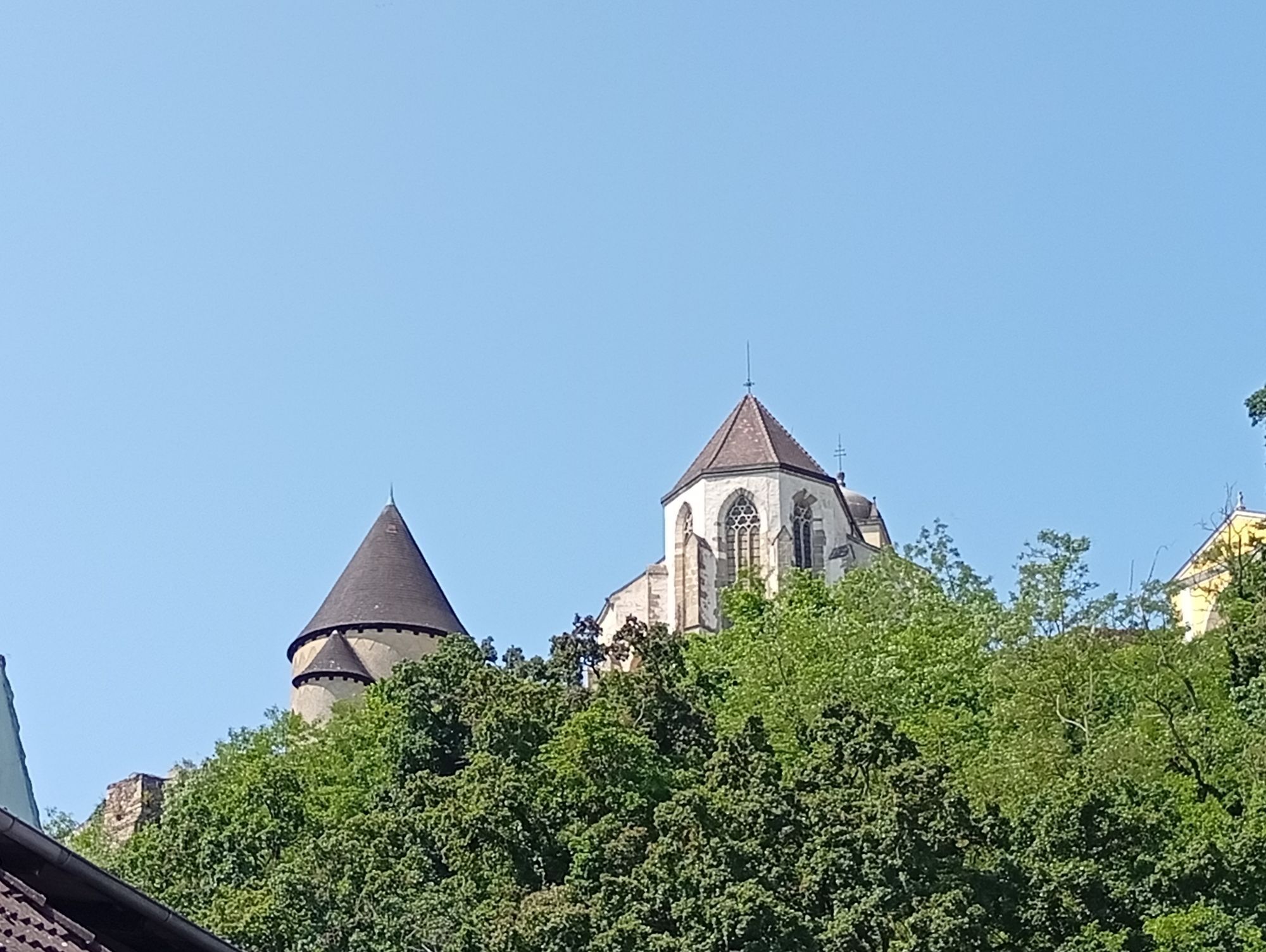
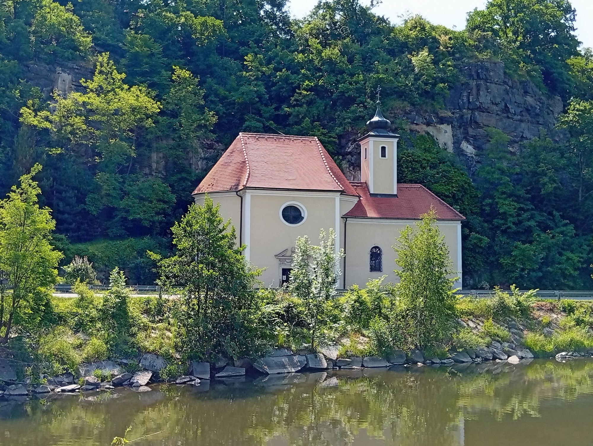
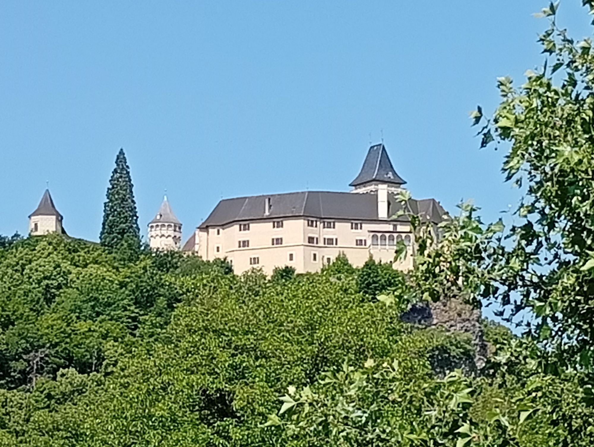
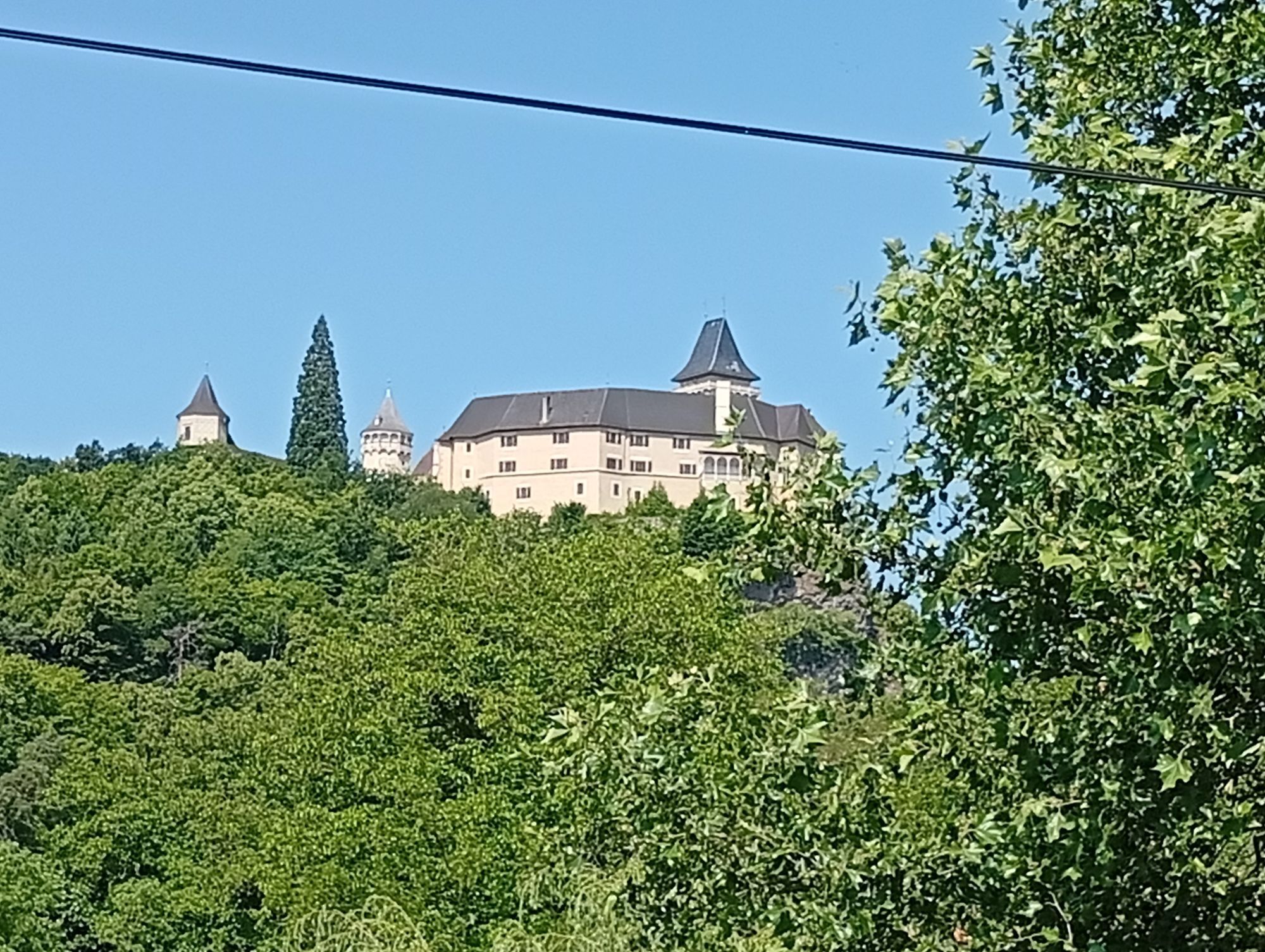
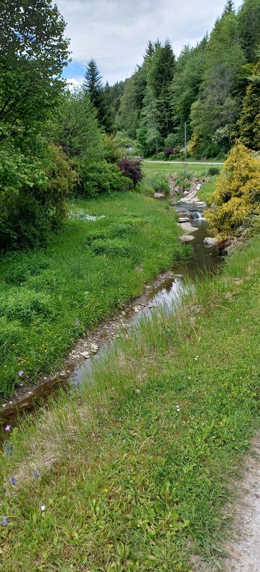
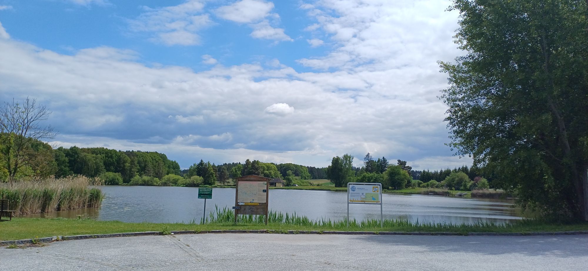
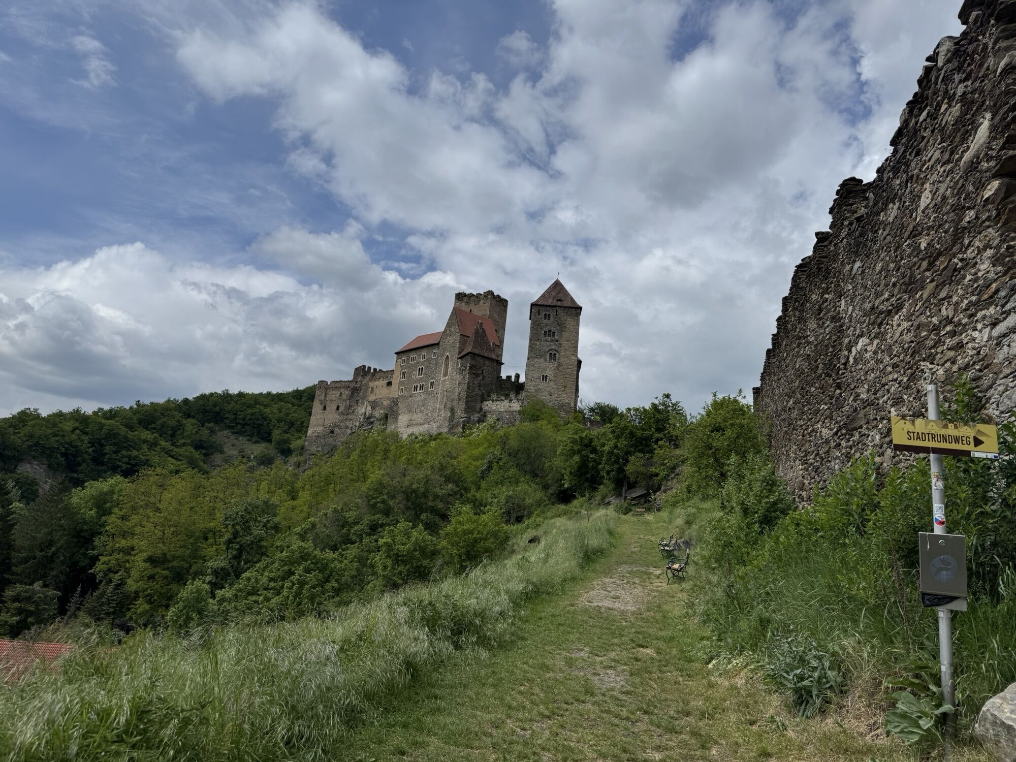
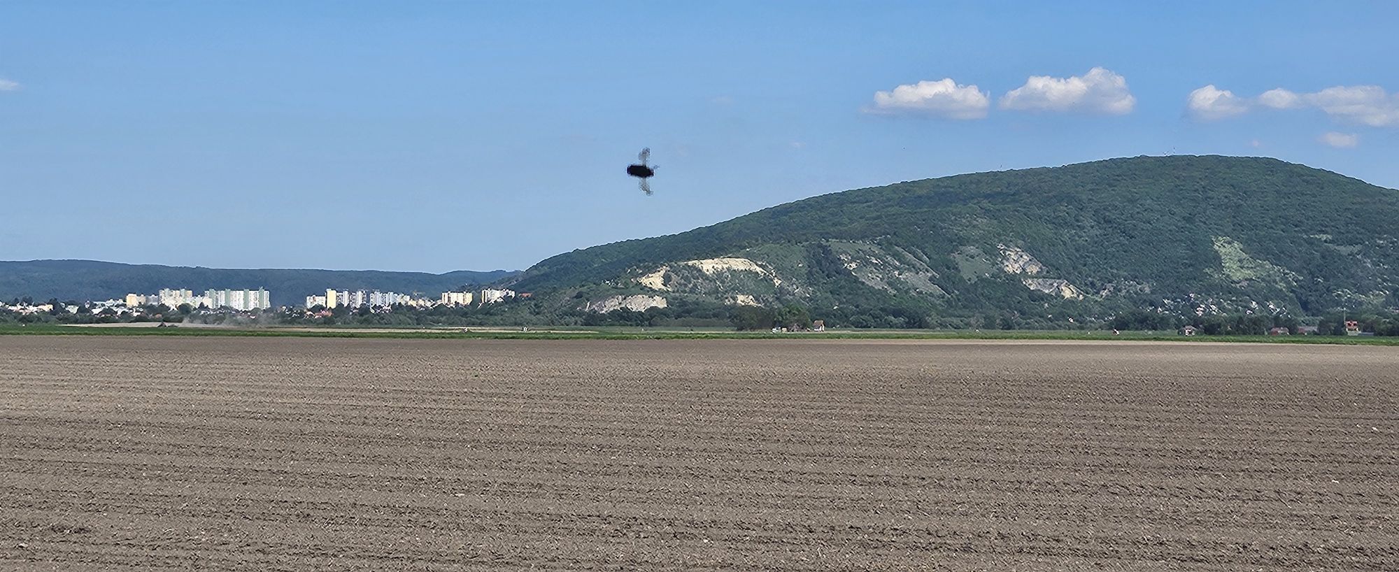
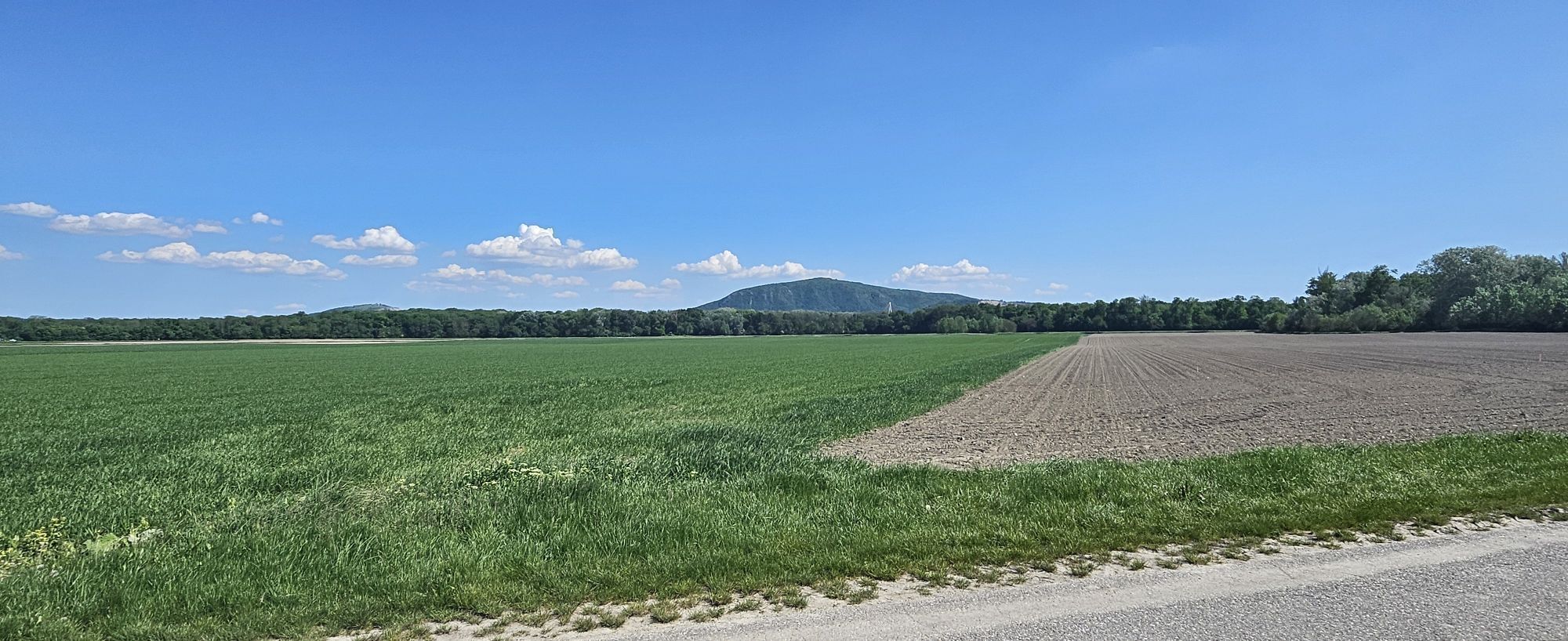
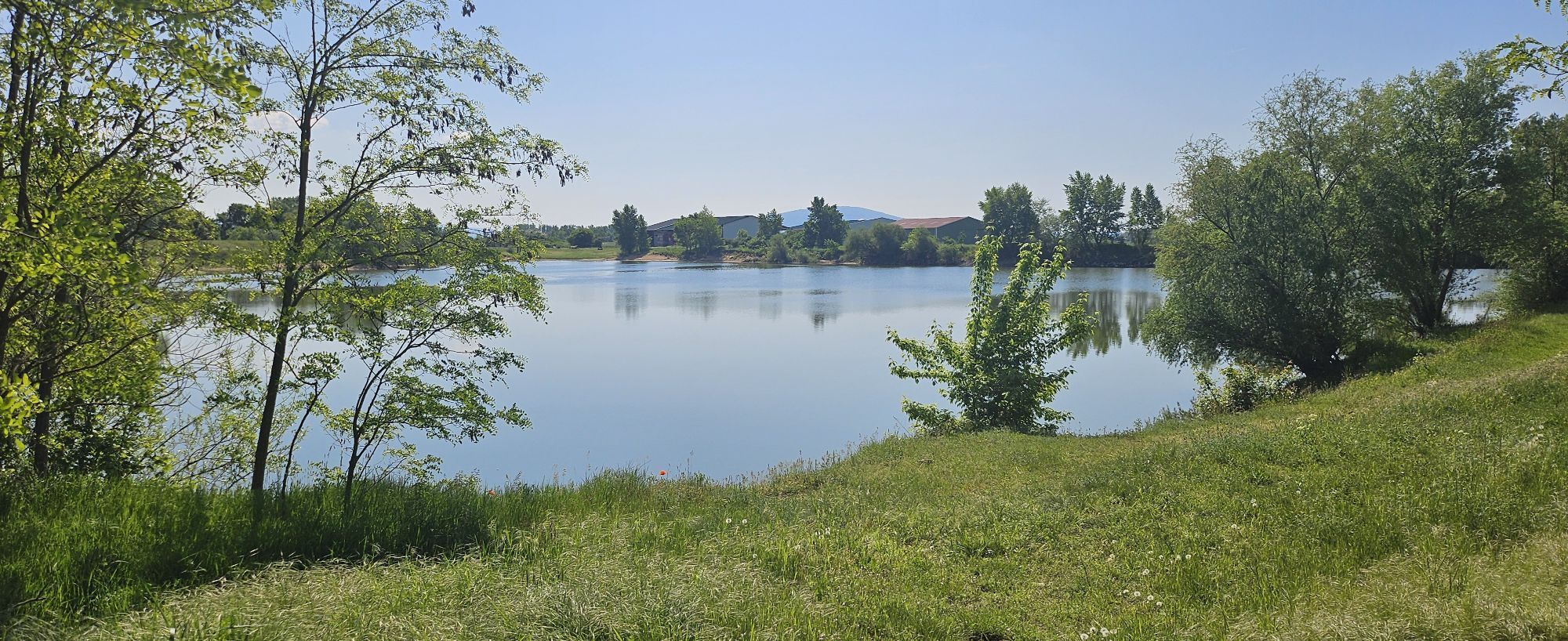
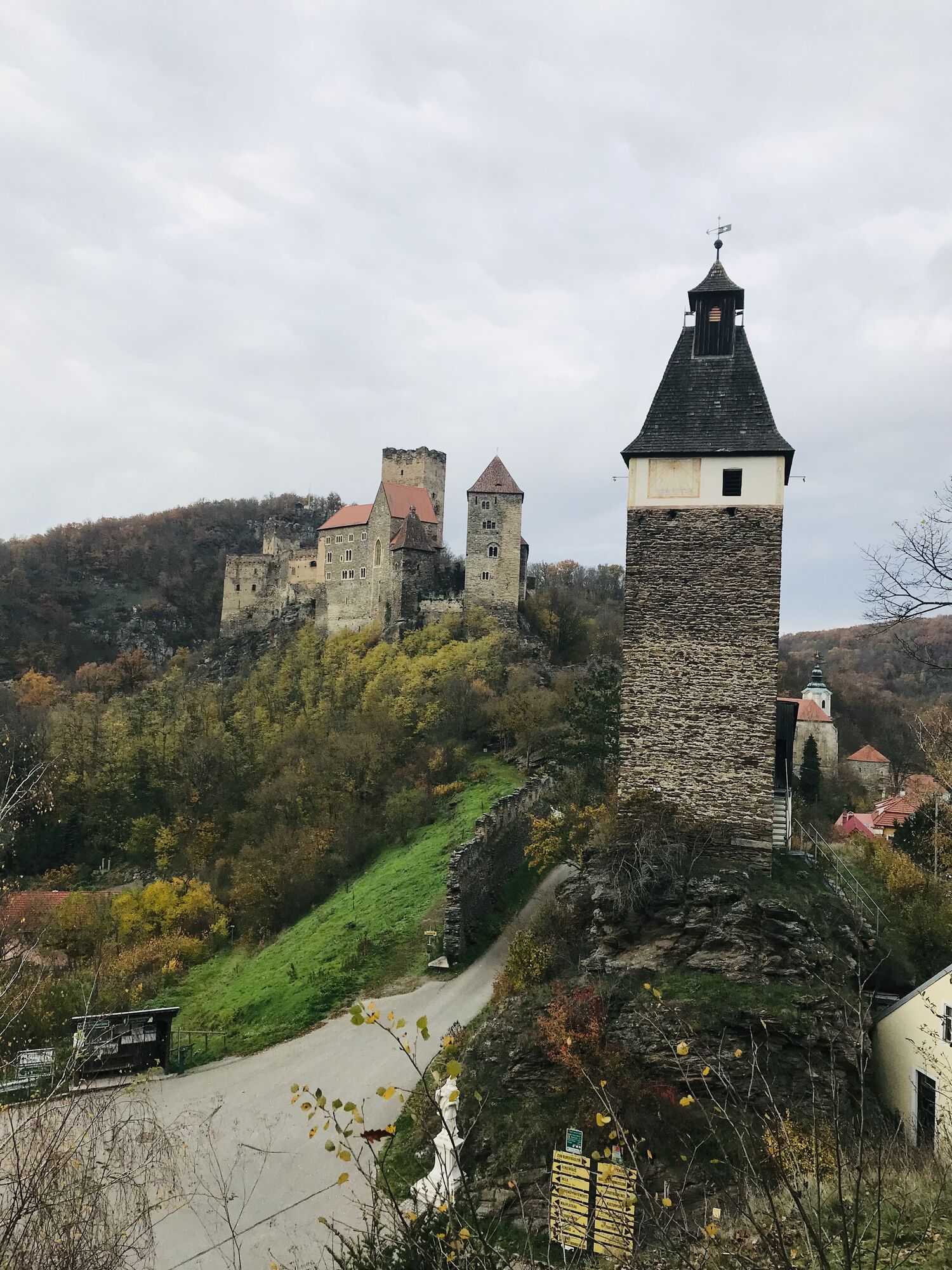
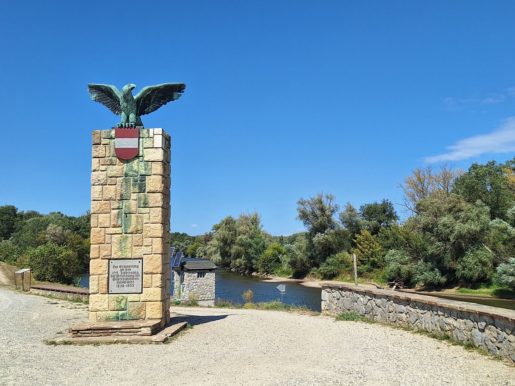
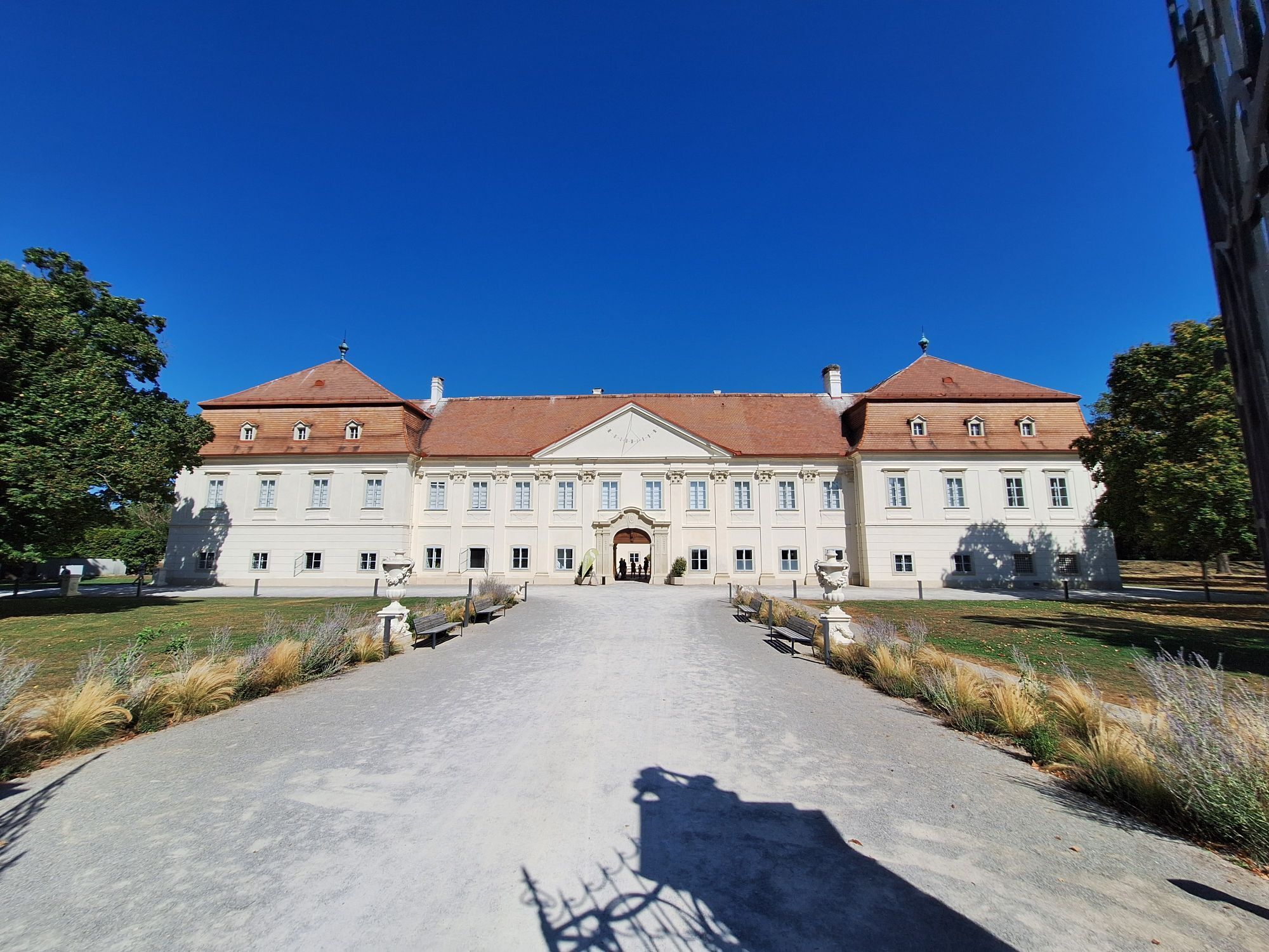
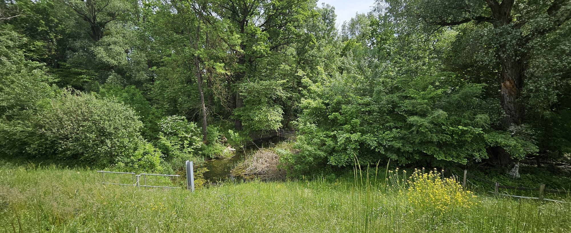
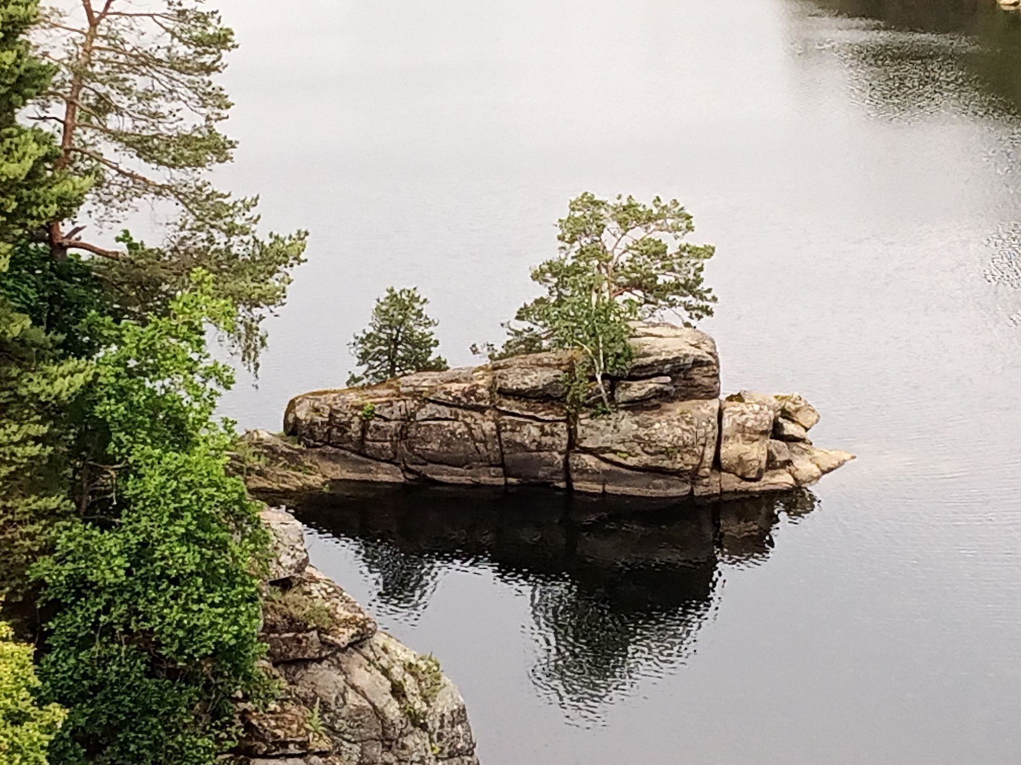
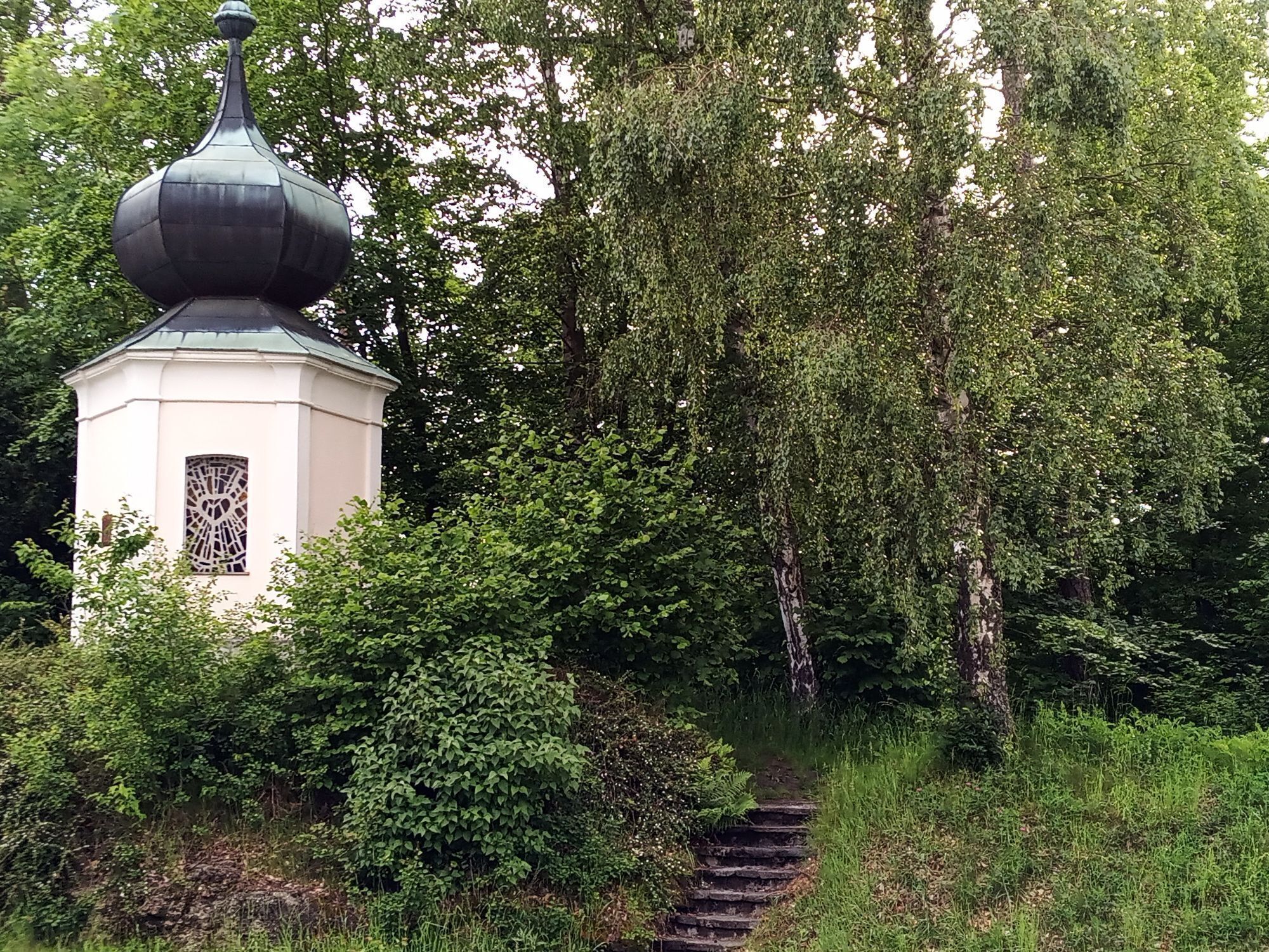
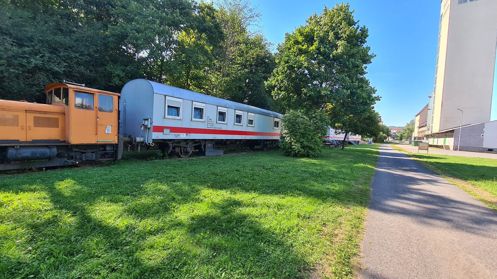
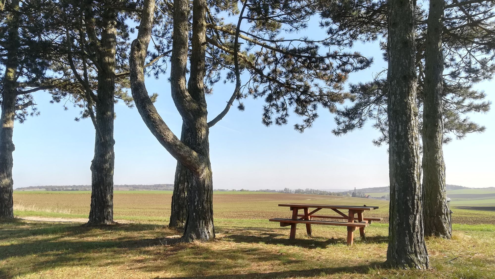
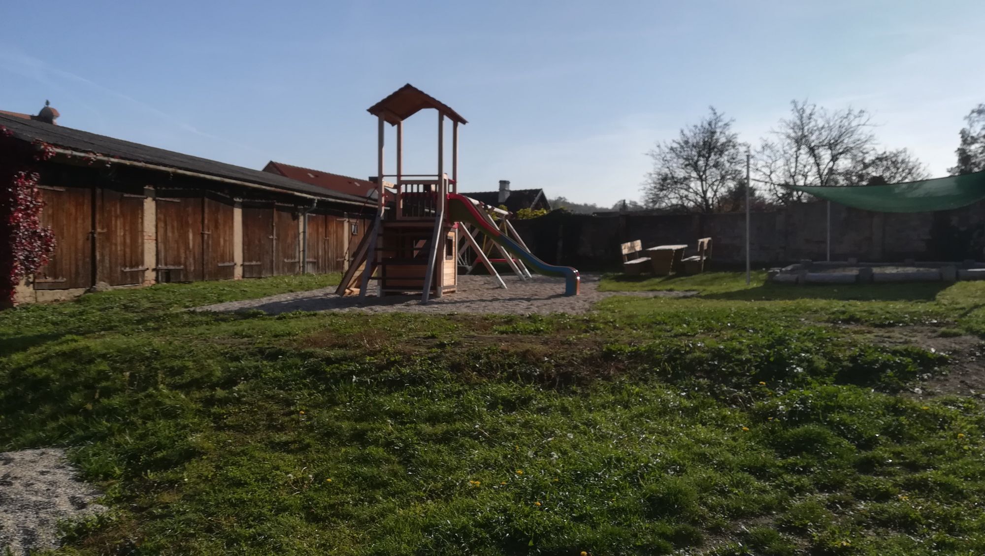
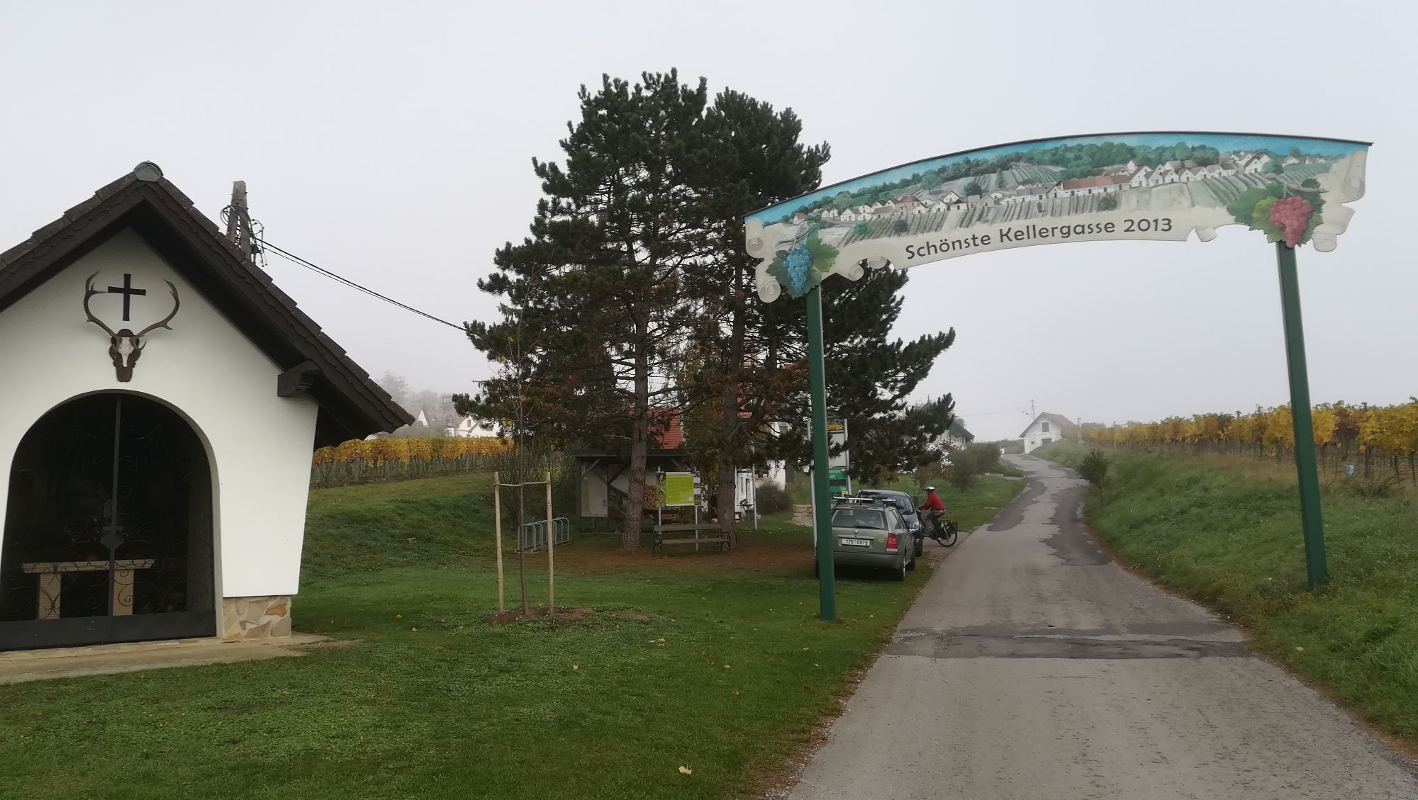
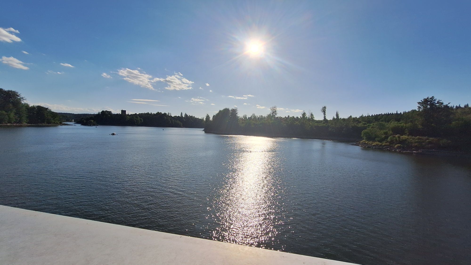
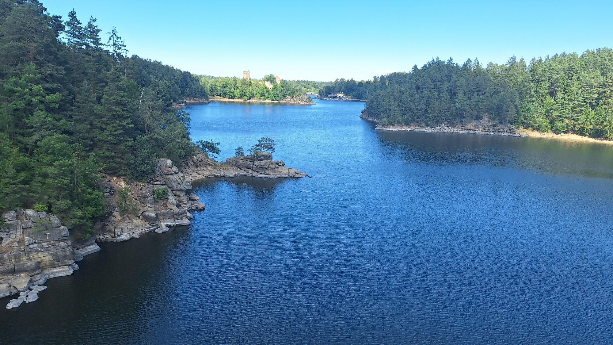
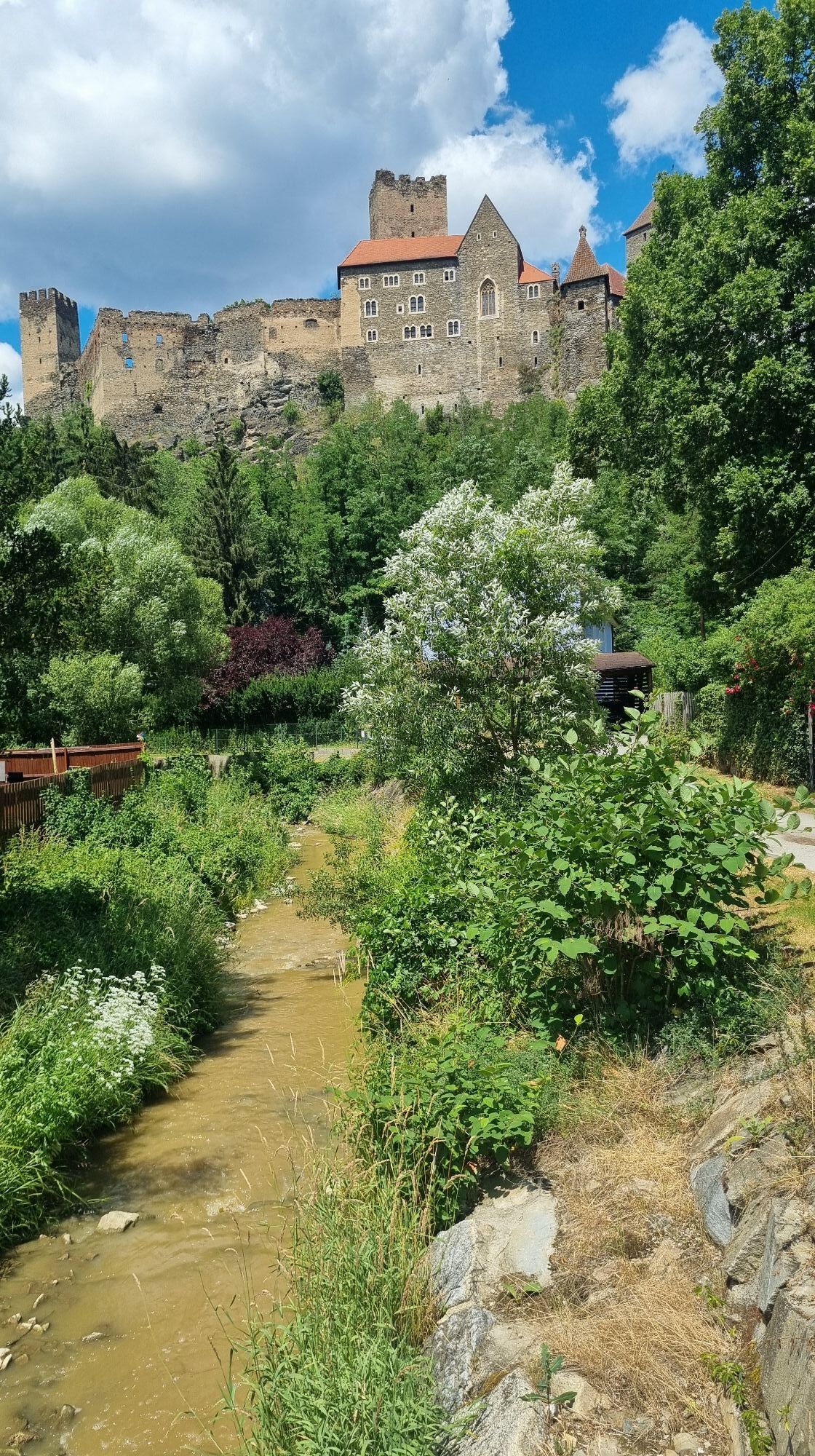
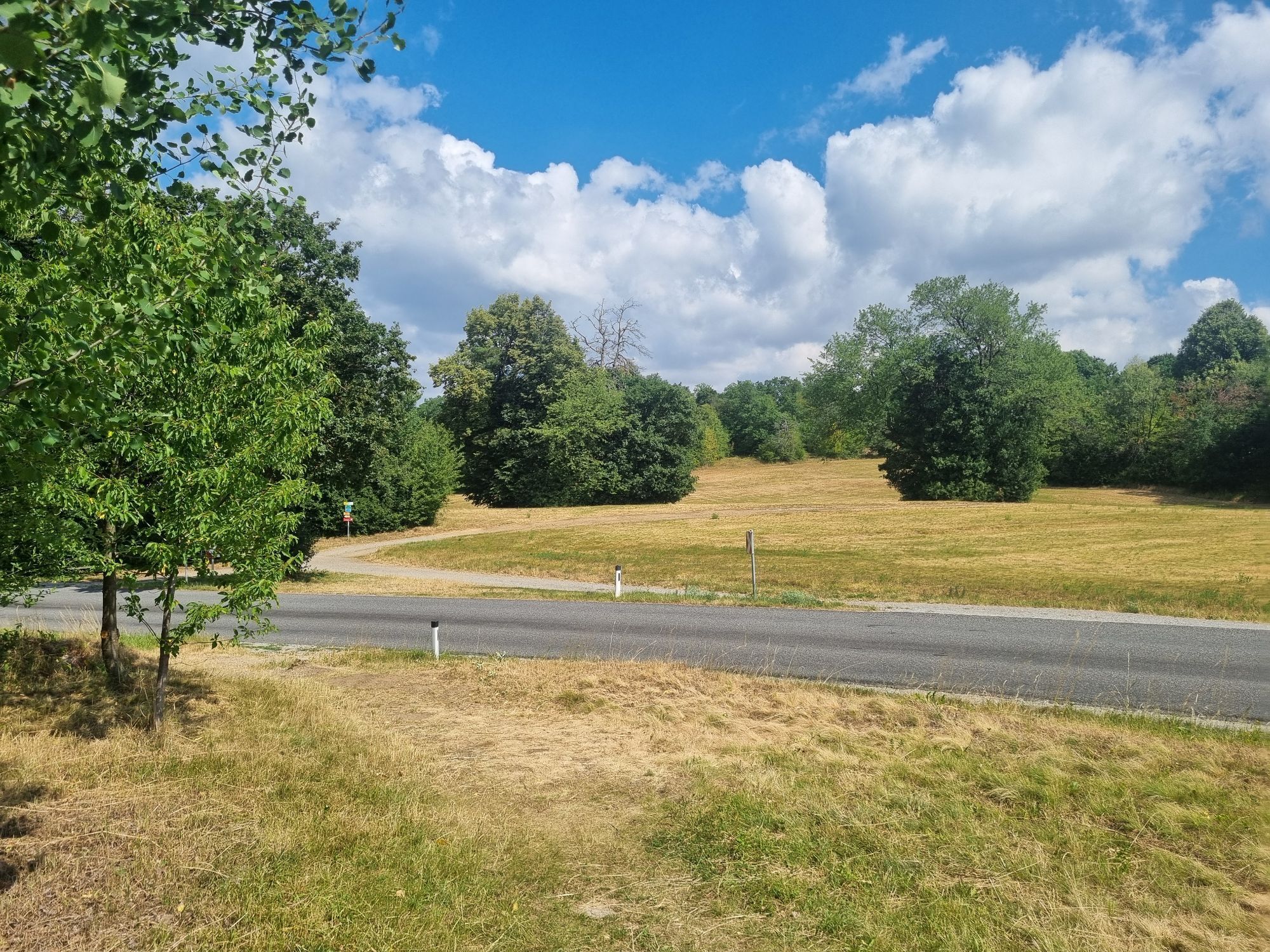
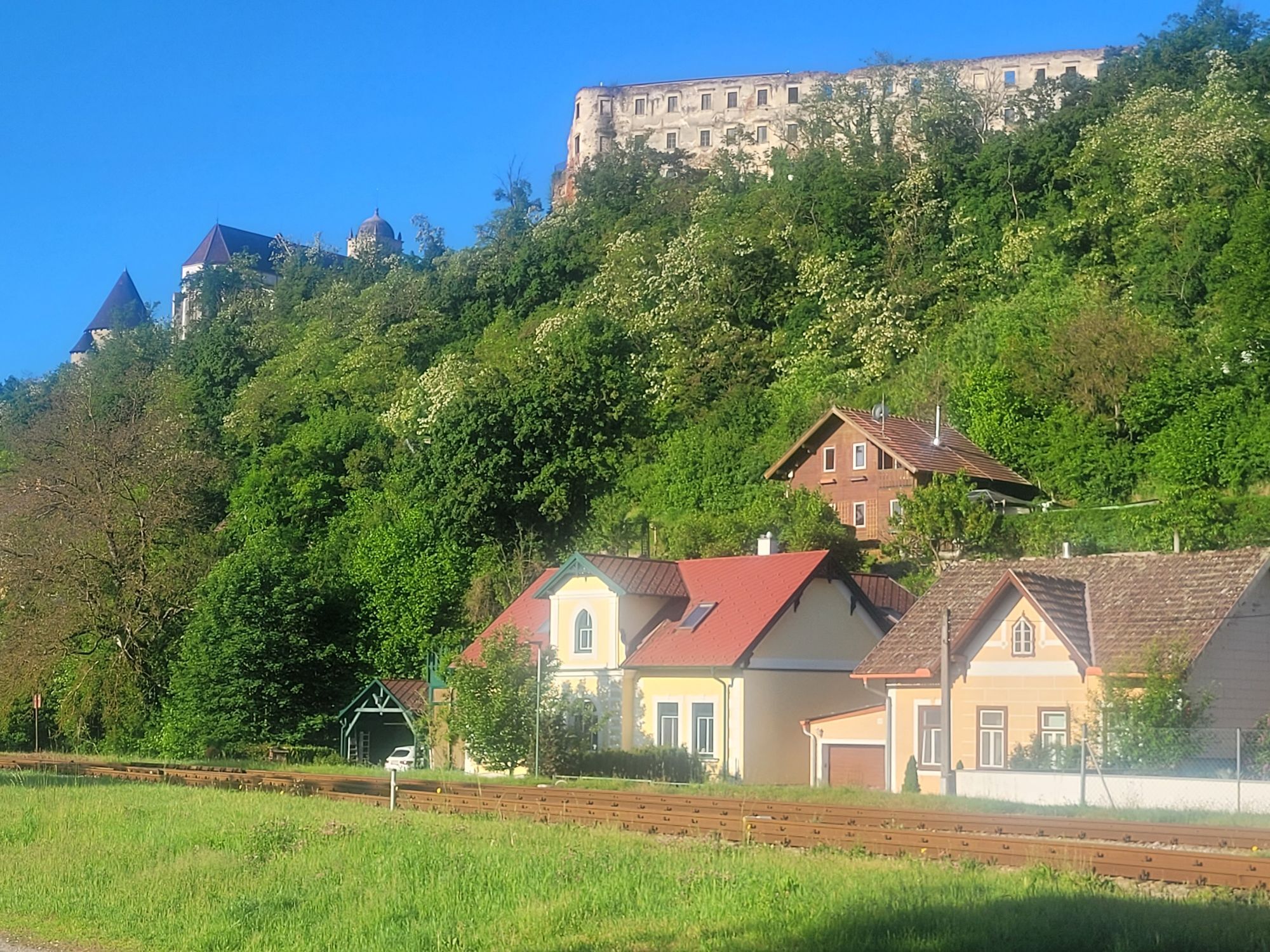
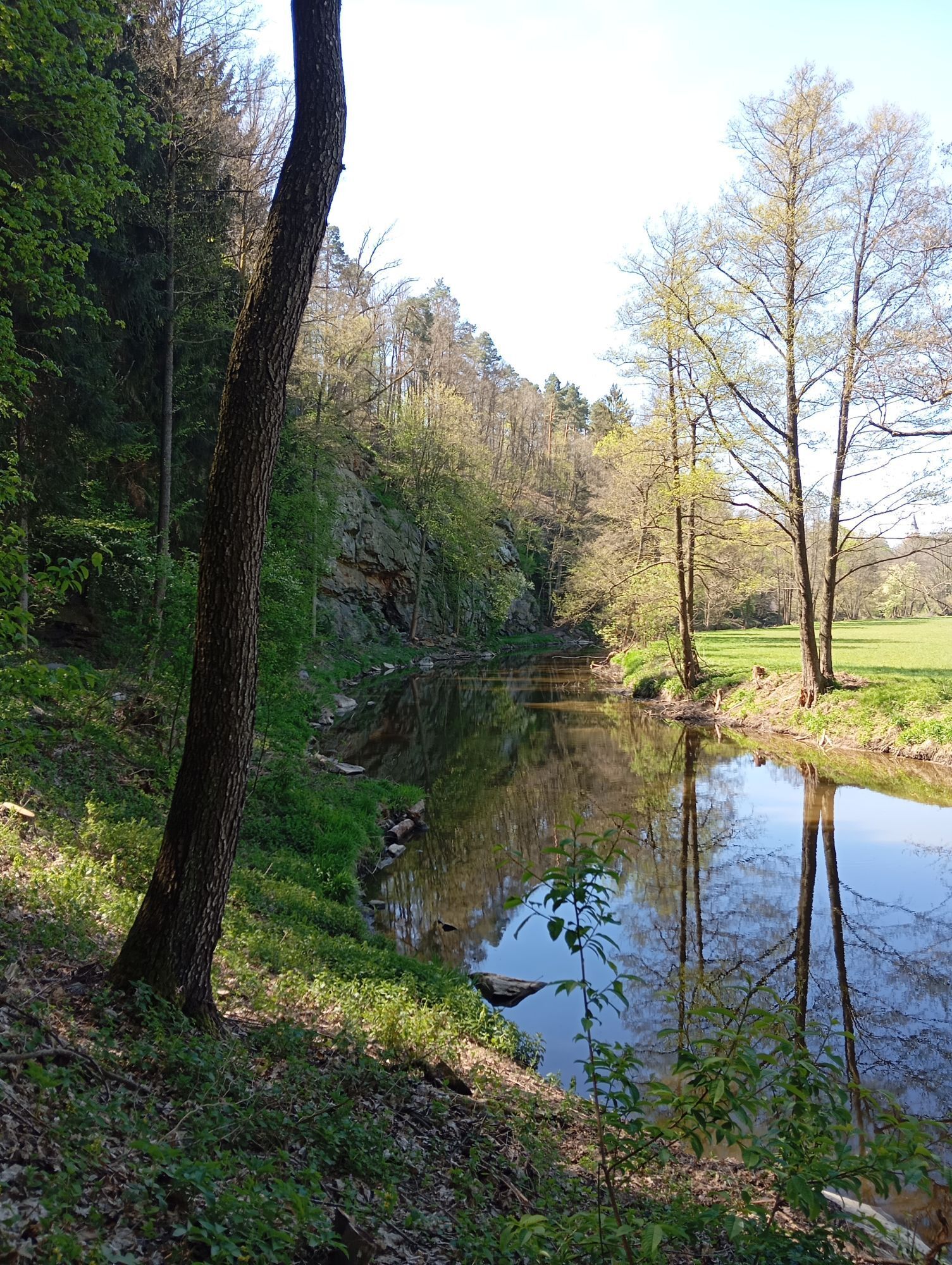
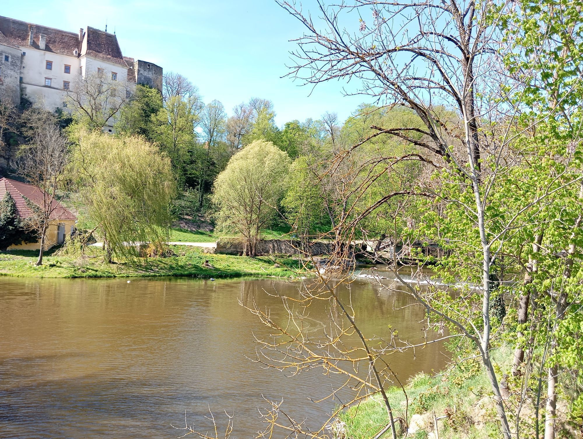
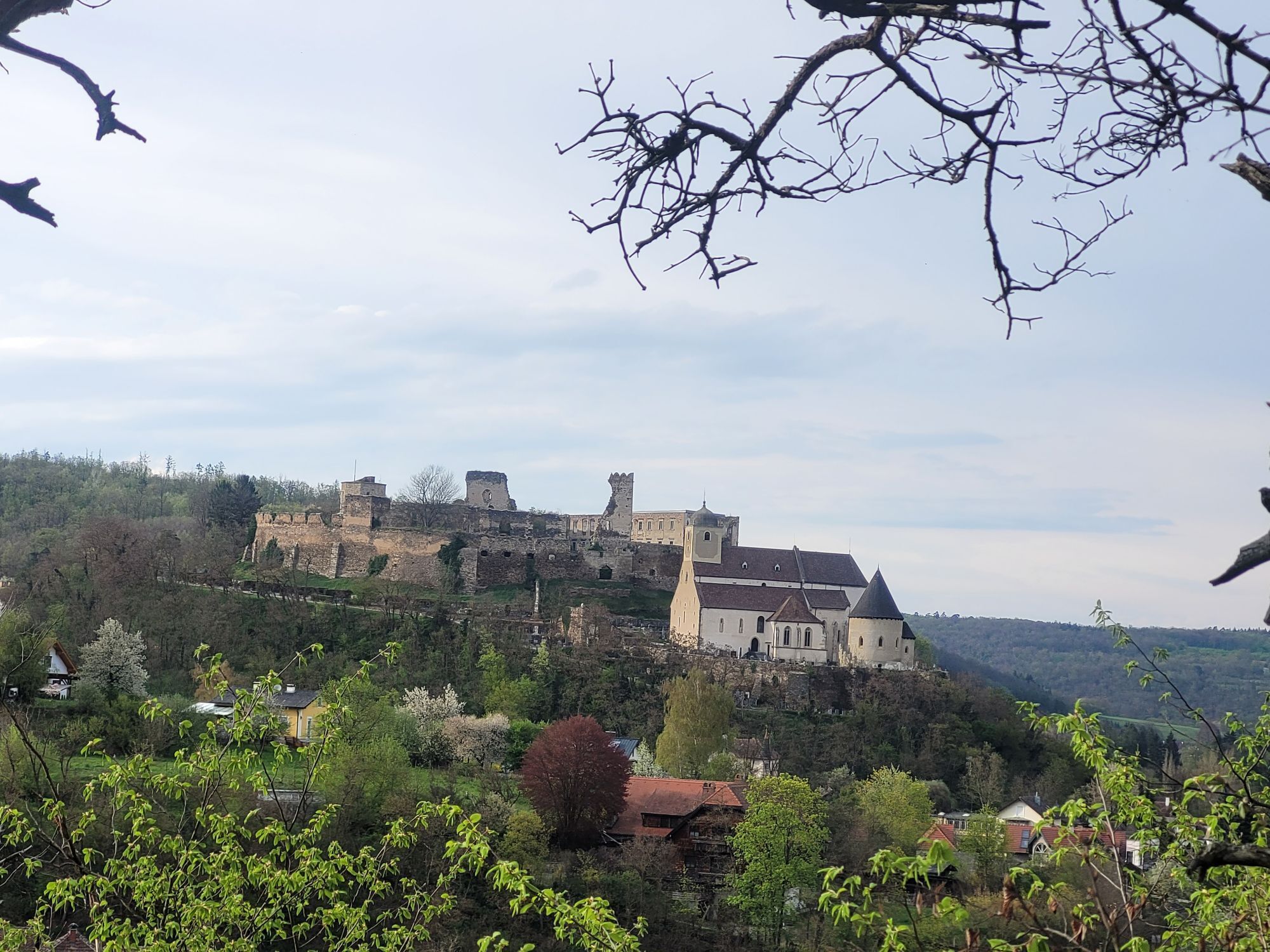
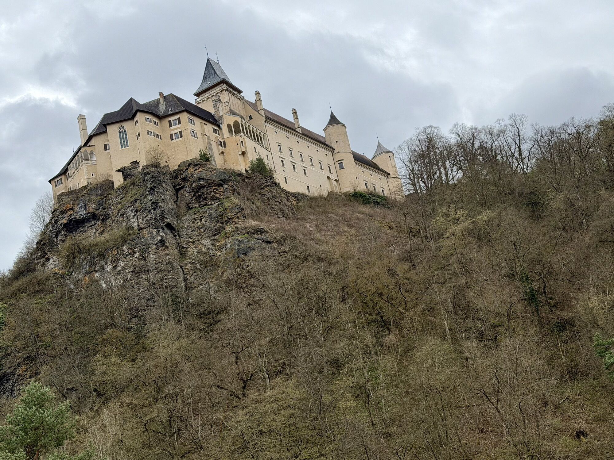
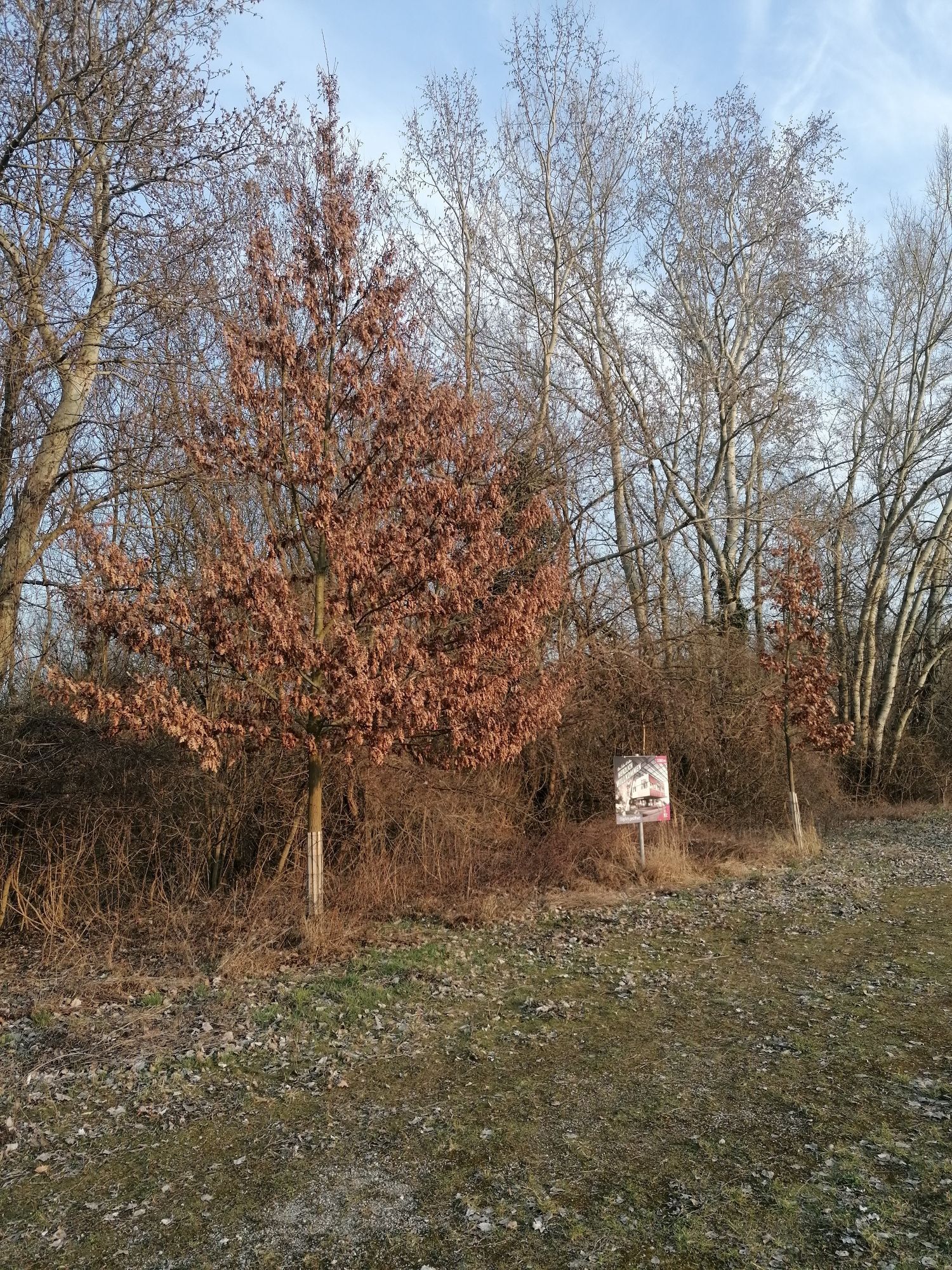
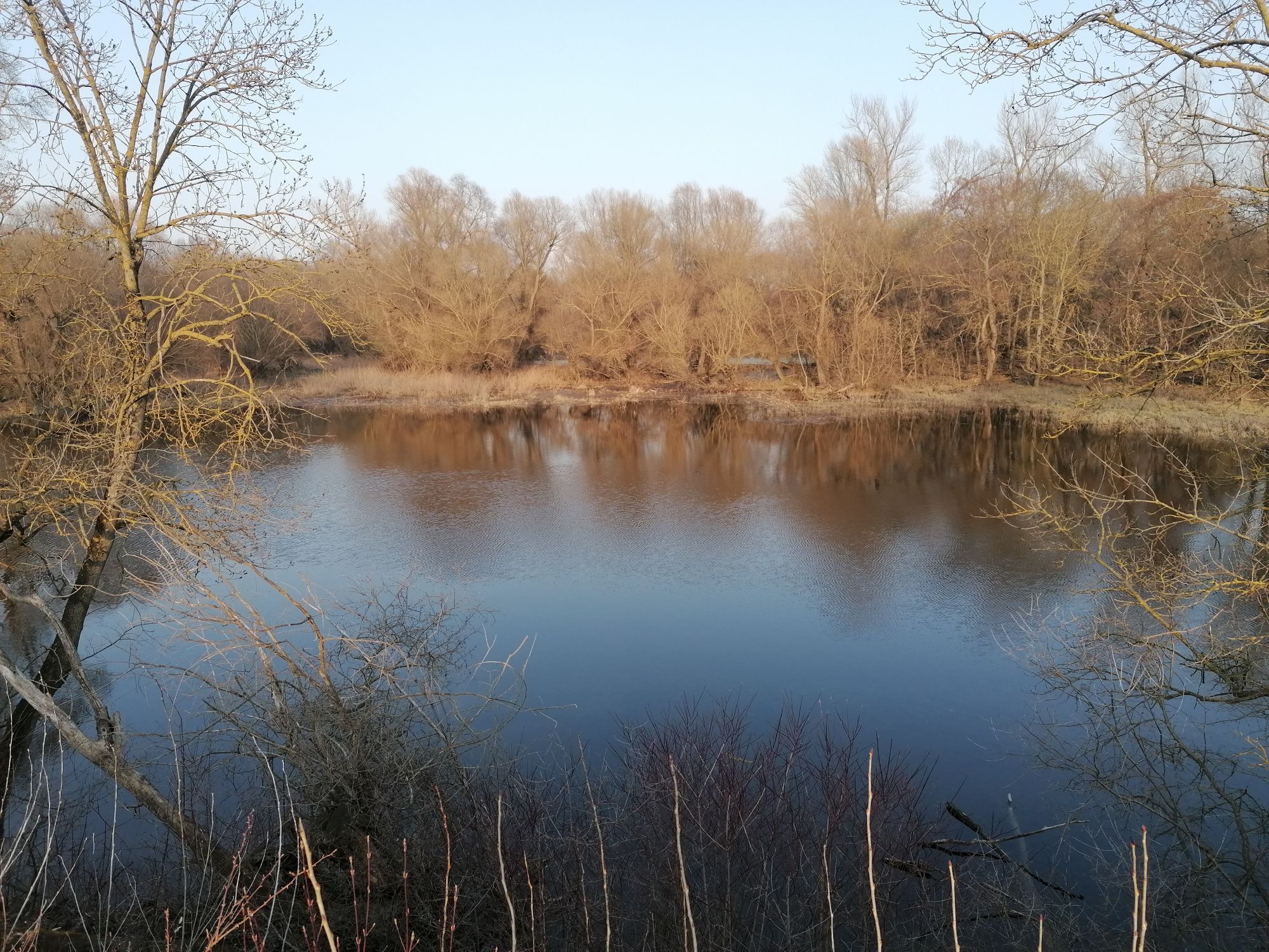
The attractive cycle route in northeastern Austria follows a total of three rivers and passes through the Waldviertel and Weinviertel – two romantic regions on the border with the Czech Republic. Scenic...
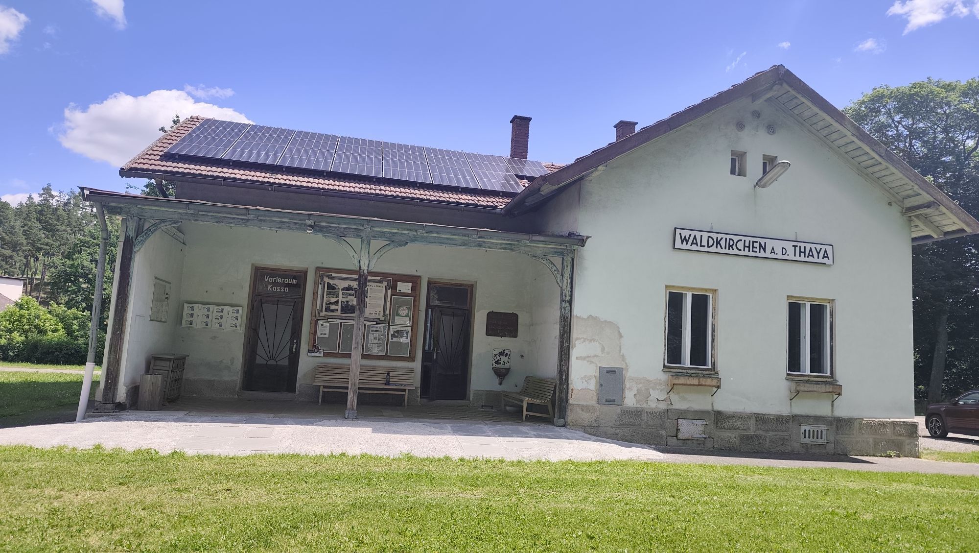
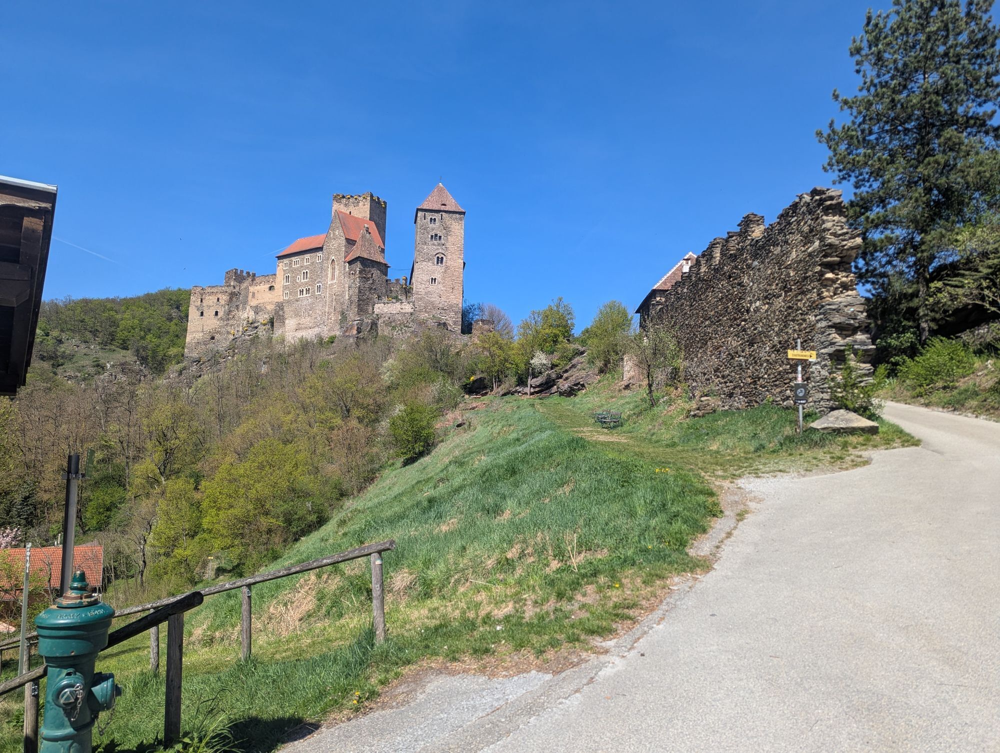
<p>The attractive cycle route in northeastern Austria follows a total of three rivers and passes through the Waldviertel and Weinviertel – two romantic regions on the border with the Czech Republic. Scenic diversity, clever signposting, friendly and helpful people, as well as a high recreational value – the German specialist magazine “aktiv Radfahren” has more than just praise for the Kamp-Thaya-March cycle path (KTM). With <strong>four stars</strong> and the <strong>seal of quality “Highly recommended”</strong>, the editorial team rated the over 400 km long route, which leads from Krems on the Danube through the Waldviertel and Weinviertel into the wide floodplain landscape of the March through a largely undiscovered cycling region <strong>beyond main roads and mass tourism</strong>. The stages with lengths between 30 and 55 kilometers can be varied as desired, with the challenging stretches mainly limited to the Waldviertel. Wild nature, lonely villages, medieval castles and cultivated wine make the route an unforgettable experience.</p><p><strong>Between Gars am Kamp and Rosenburg there are closures due to danger spots - follow the local detour!</strong></p>

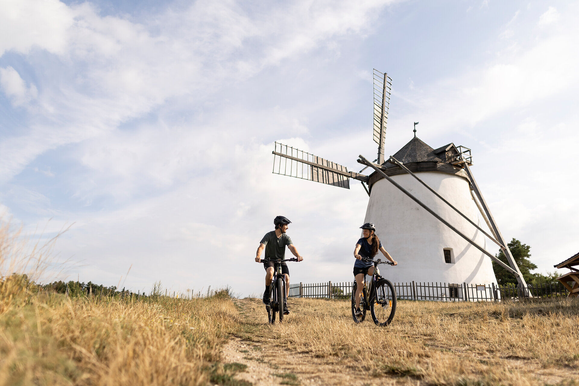
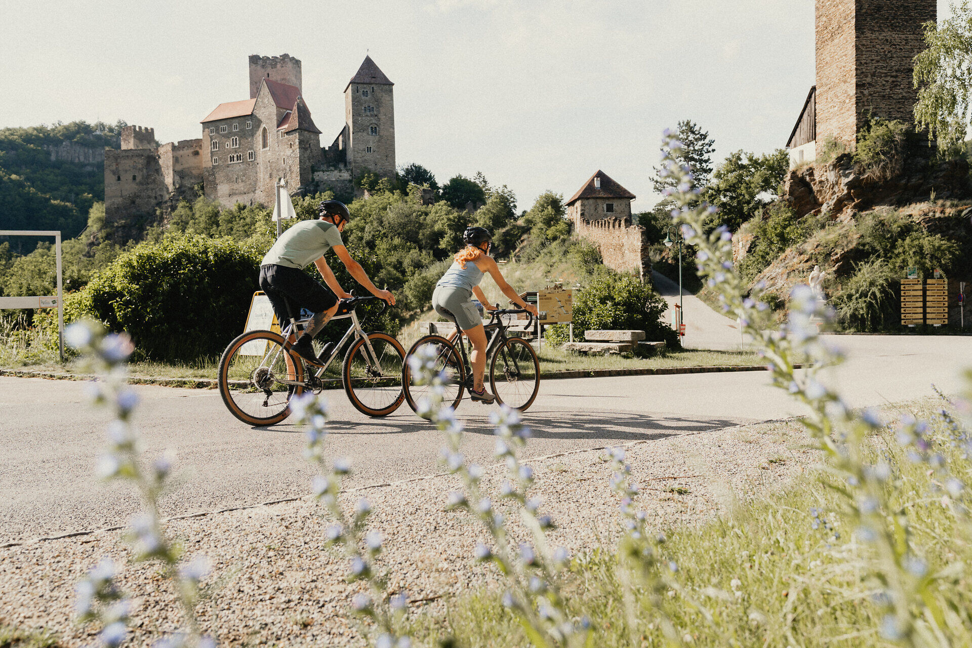




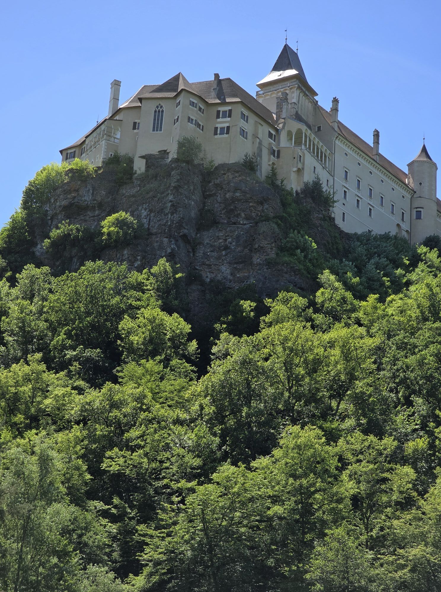
<p>At the start of the route you can enjoy beautiful cycling along the Kamp, then steep sections await you in the Waldviertel. Through the Weinviertel it mostly goes downhill, and in the end you cross the gently rolling landscape to the Danube. The route mostly runs on traffic-free farm roads and secondary roads. The stretch in the Waldviertel is mostly paved, in the Weinviertel you will also encounter gravel farm roads. The Kamp-Thaya-March cycle path is consistently well signposted. Along the route you also come across cycle signs marking smaller regional circular routes (e.g. Pond-Tarn Route) and routes named after grape varieties (e.g. Welschriesling). Information about the smaller routes can be found in the cycling maps Weinviertel East and Weinviertel West.</p><p>Thanks to the perfect KTM route guide, orientation on the route is easy; the infrastructure for two-wheel fans includes bike-friendly restaurateurs and accommodation providers as well as service stations and the connection of the KTM route to the transport network.</p><p>The route should be planned as a week-long tour or longer (e.g. for culinary discovery tours or tours by nostalgic train and bike to the Thaya Valley, Austria’s smallest national park). Highlights along this route include: the wine & grape world Poysdorf, Loisium in Langenlois, the Renaissance castle Rosenburg, the monasteries in Altenburg, Zwettl and Geras, the Retz adventure cellar, ringing station Hohenau, Jedenspeigen castle or the Laa thermal spa.</p><p><strong>Suggested stages:</strong></p><p>The 420 km long cycle route can also be divided into smaller stages. This makes cycling easier.</p><p>Stage 1: Krems – Rosenburg 41.5km<br />Stage 2: Rosenburg – Friedersbach 43km<br />Stage 3: Friedersbach – Waidhofen/Thaya 53.3km <br />Stage 4: Waidhofen/Thaya – Drosendorf/Thaya 57km<br />Stage 5: Drosendorf – Retz 43km<br />Stage 6: Retz – Laa 48.3km <br />Stage 7: Laa – Herrnbaumgarten 40km<br />Stage 8: Herrnbaumgarten – Angern 59km<br />Stage 9: Angern – Hainburg 40.2km</p>
<p>The route is suitable for trekking bikes. <br />We recommend: helmet, appropriate clothing and footwear, rain and sun protection, first aid kit (blister plasters), sufficient provisions (snacks, muesli bars, fruit, water).</p>
<p>Make sure when choosing the route that it suits your fitness level. Check whether the gastronomy businesses you want to visit on the way are open. Pack your mobile phone and maps in your backpack.</p><p><strong>Between Gars am Kamp and Rosenburg there are closures due to danger spots - follow the local detour!</strong></p>
<p>ÖBB northern connection from Hohenau/ March to Angern/ March</p>
Waldviertel Tourism
3910 Zwettl, Sparkassenplatz 1/2/2
(T) +43 2822 541090
(E) info@waldviertel.at
(I) www.waldviertel.at
Weinviertel Tourism
2170 Poysdorf, Wiener Straße 1
(T) +43 2552 3515
(E) info@weinviertel.at
(I) www.weinviertel.at
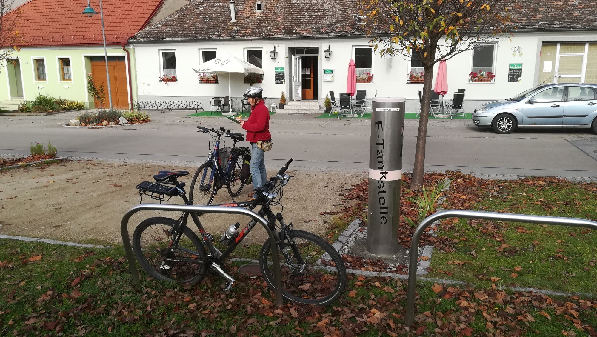
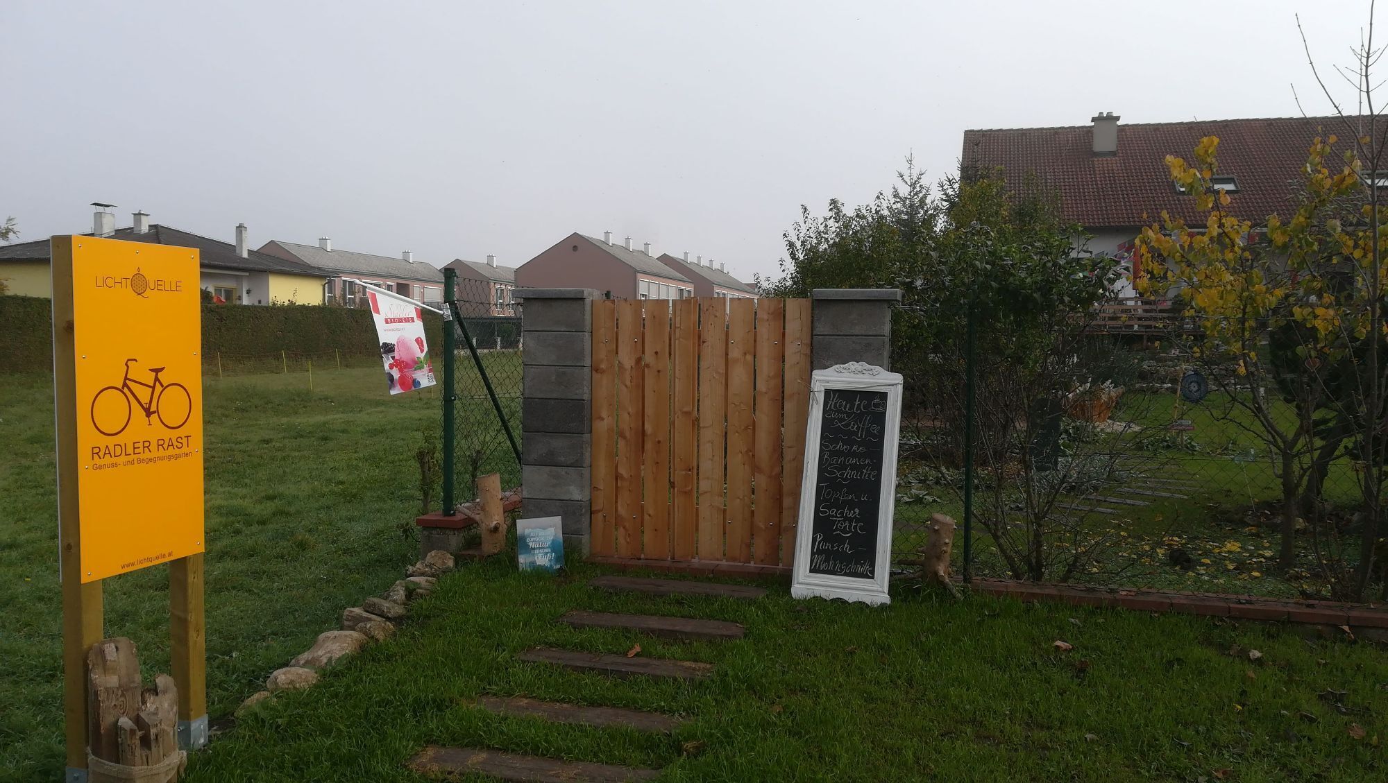
The infrastructure includes bike-friendly restaurateurs and accommodation providers as well as service stations and the connection of the KTM route to the transport network.
Pridobite vpogled
Vedno v živo na mestu z več kot 9.500 spletnimi kamerami. bergfex Kot uporabnik Pro si lahko zdaj ogledate ustrezne spletne kamere za številne izlete v aplikaciji izleti iz. Tako si lahko neposredno ogledate trenutne razmere.
Priljubljeni izleti v okolici
-
4.5
DAC Radtour-Weinviertel
srednjaKolesarjenje 55.1 km -
4.2
»tut gut« Wanderweg Pulkau | Route 2
srednjaPohodništvo 7.29 km -
4.5
Kellergassenrundwanderweg
srednjaPohodništvo 8.69 km -
4.0
Rivaner-Radtour
Kolesarjenje 54 km -
3.5
Portugieser-Radtour
Kolesarjenje 67 km -
3.5
Stone & Wine
srednjaPohodništvo 10.8 km -
2.6
Chardonnay-Radtour
Kolesarjenje 33.5 km -
5.0
Eggenburg und Kogelsteine
svetlobaPohodništvo 8.25 km -
4.5
Bergrunde
srednjaPohodništvo 5.18 km -
4.0
»tut gut« Wanderweg Pulkau | Route 3
srednjaPohodništvo 6.52 km
Pohodništvo in sledenje


Ne zamudite ponudb in navdiha za naslednje počitnice
Vaš e-poštni naslov je bil dodan na poštni seznam.





