





Manzanares - El Yelmo - Charca Verde - Manzanares
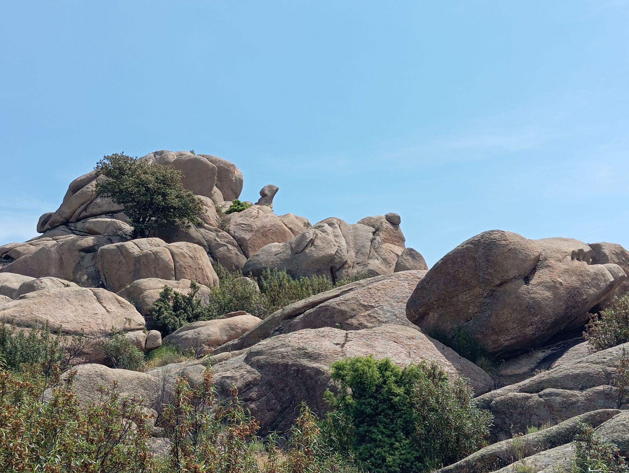
General description: Difficulty: Medium An ideal circular hike for a day in the mountains. The trip begins with an ascent up the barren and rocky "Peña del Yelmo", with its characteristic peak made...
General description:
Difficulty: Medium
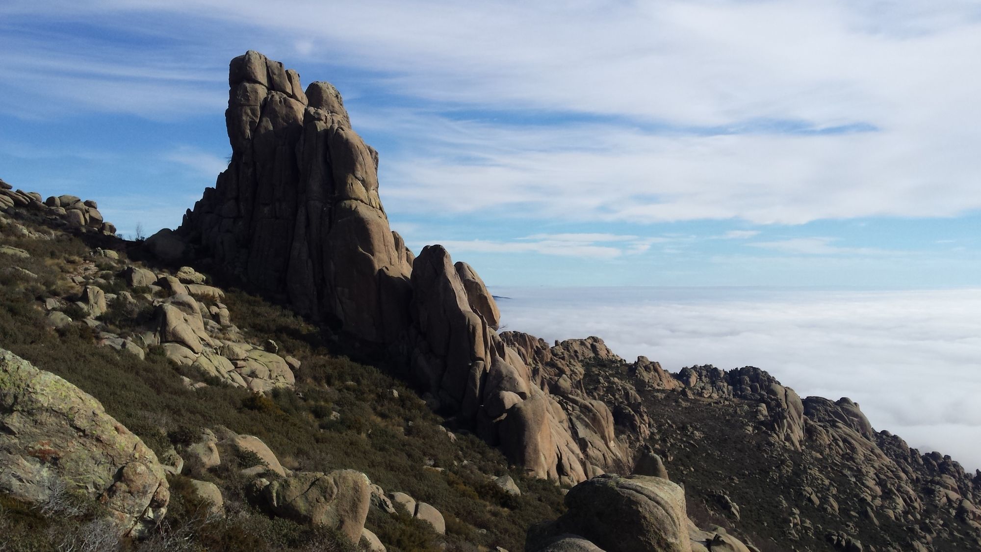
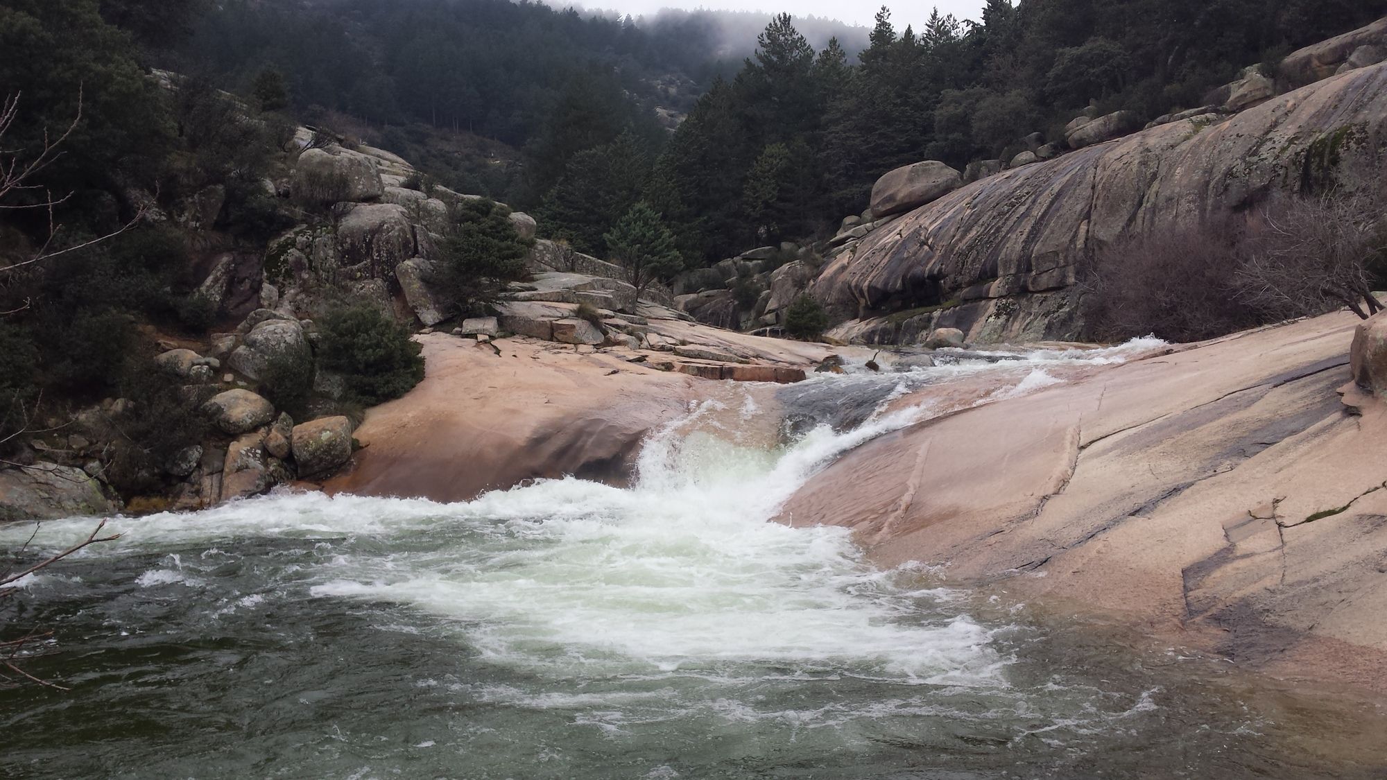
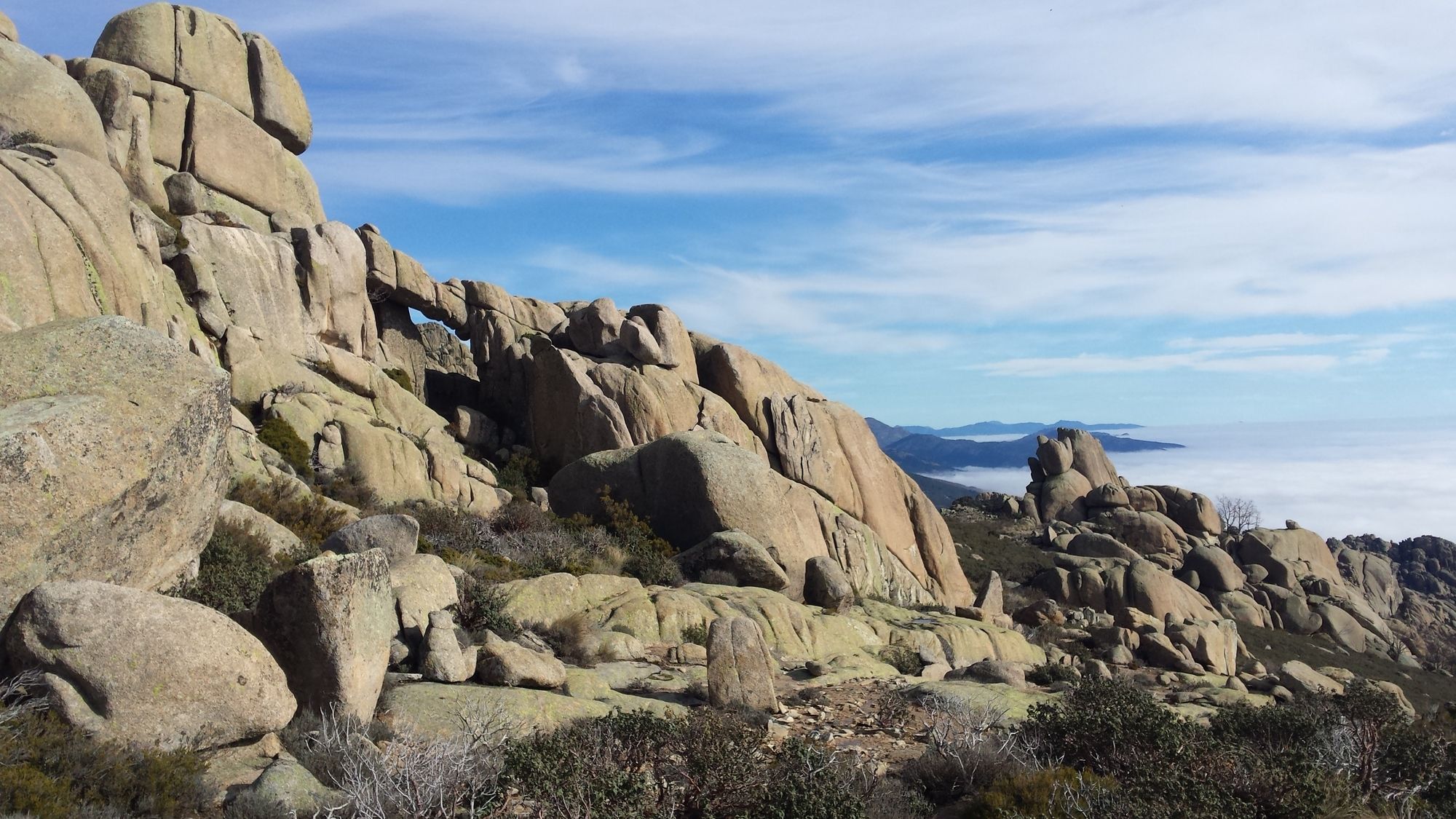
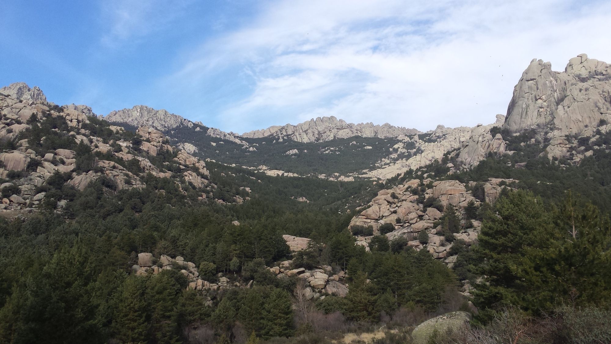
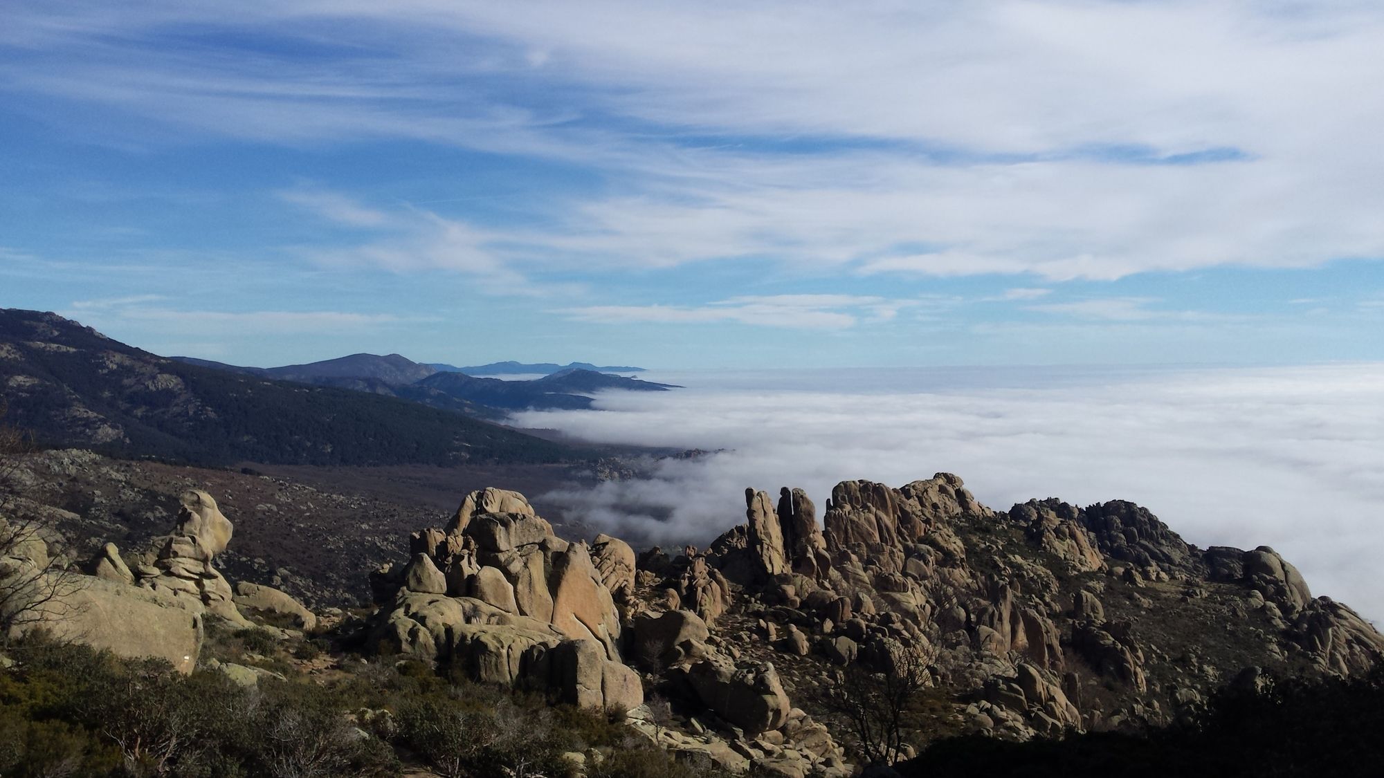
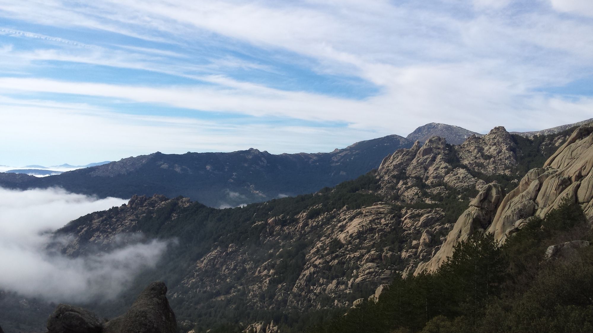
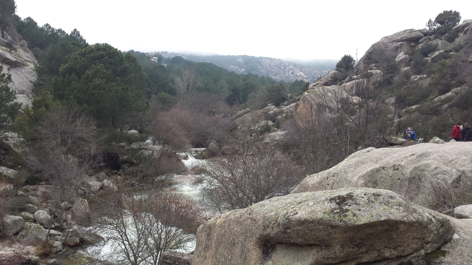
An ideal circular hike for a day in the mountains. The trip begins with an ascent up the barren and rocky "Peña del Yelmo", with its characteristic peak made out of a single rock formation. The route then continues down towards the densely forested valley around "La Pedriza" and then ends after following the Manzanares river towards the "Charca Verde" - the green pond. This route is especially recommendable in spring, as the rivers and streams are full of water and the Charca Verde has its highest water level.
Segment 1: Parking lot Manzanares - Peña del Yelmo
Difficulty: Medium
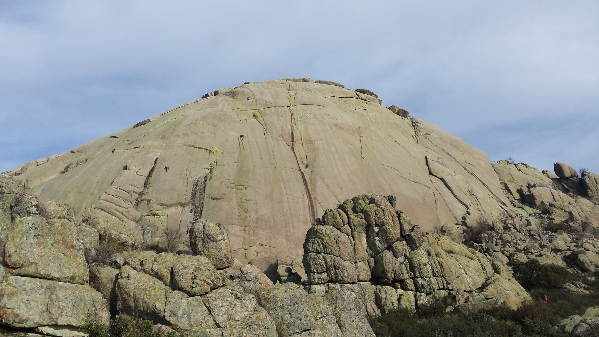
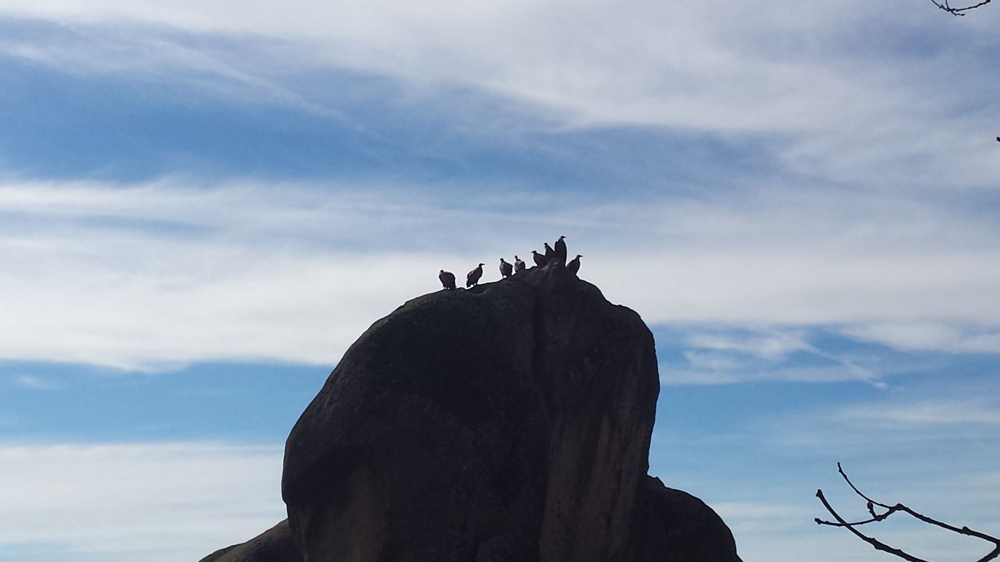
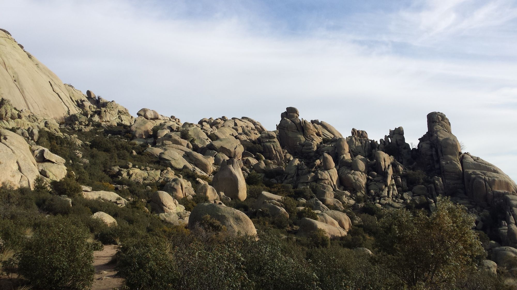
When reaching the parking lot at the end of the road make a right hand turn and follow the trail up towards the mountain. The route up towards the Yelmo is a constant and gradual incline. The Yelmo itself is impossible to miss, due to its characteristic shape of a "helmet" that stands out from the surrounding terrain.
Segment 2: Peña del Yelmo - Collado de la Dehesilla
Difficulty: Medium
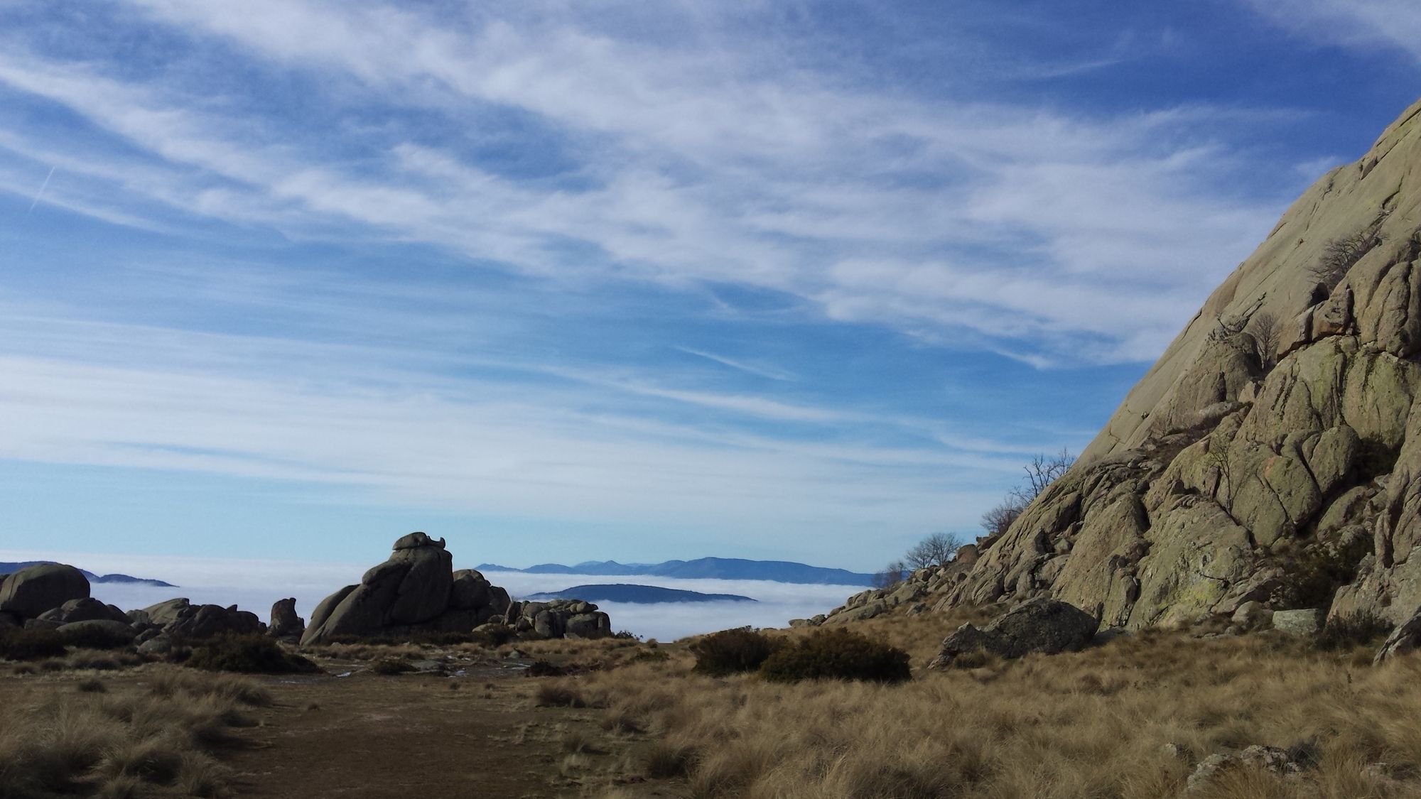
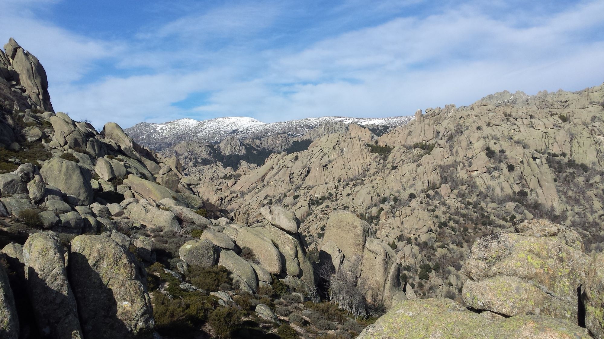
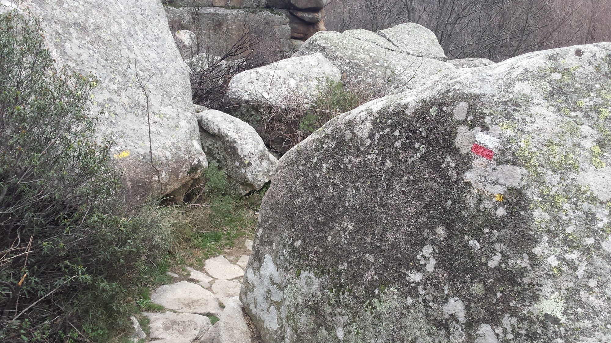
Continuing on from the Yelmo, the path follows a gradual incline until reaching "Las Cuatro Damas" - another set of clearly identifiable rock formations. From there on make a left turn to cross the ridge and follow the rocky path down towards the valley on the north side of the mountain face. This path is marked with white-yellow indications and ends at a clearing near a forest.
Segment 3: Collado de la Dehesilla - Canto Cochino
Difficulty: Easy
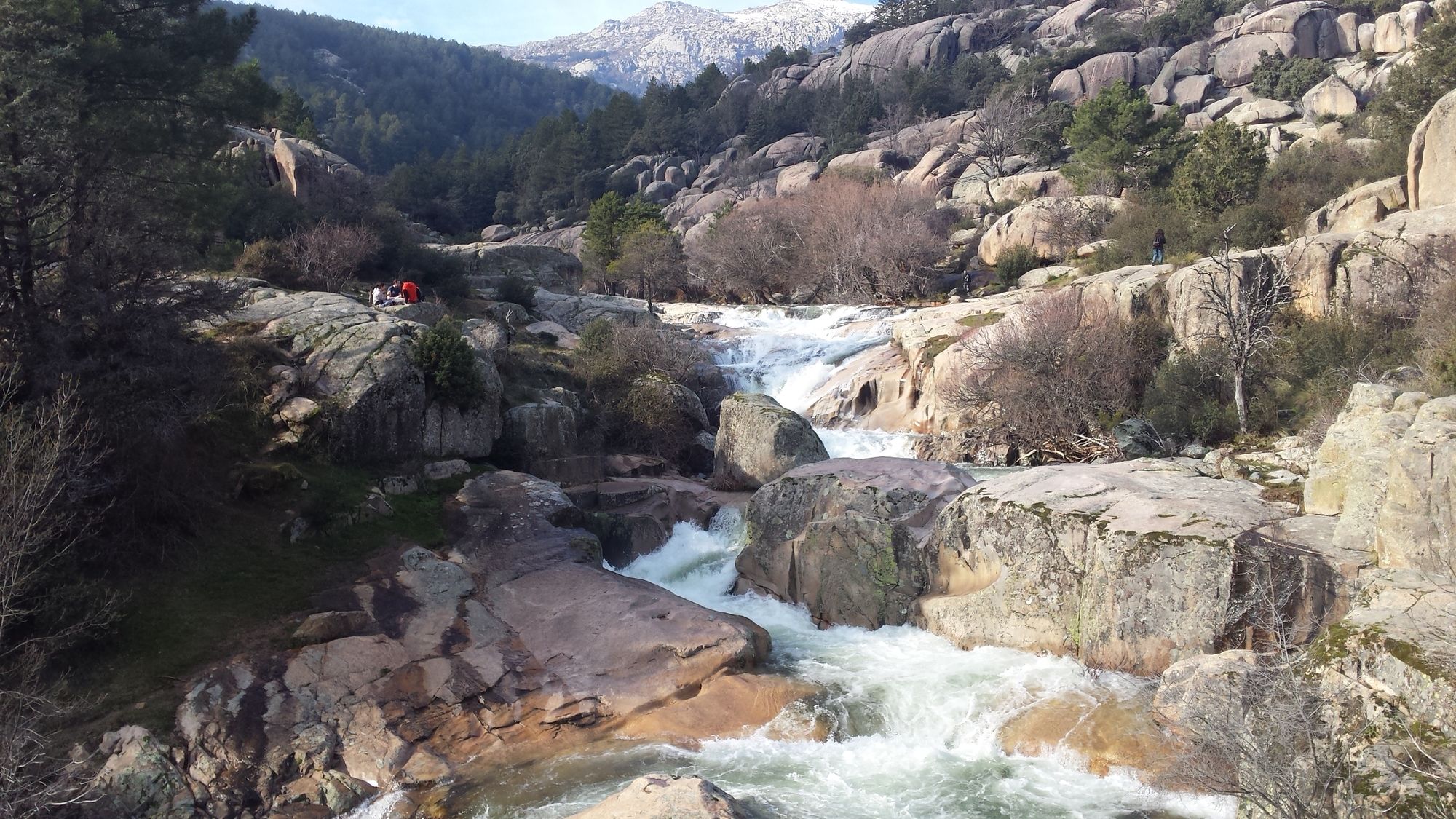
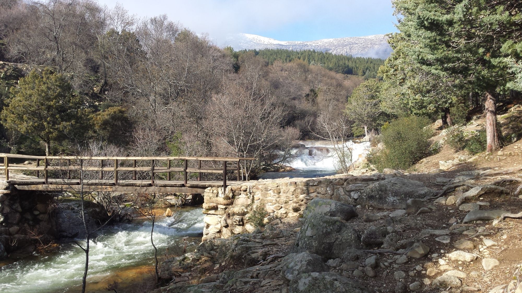
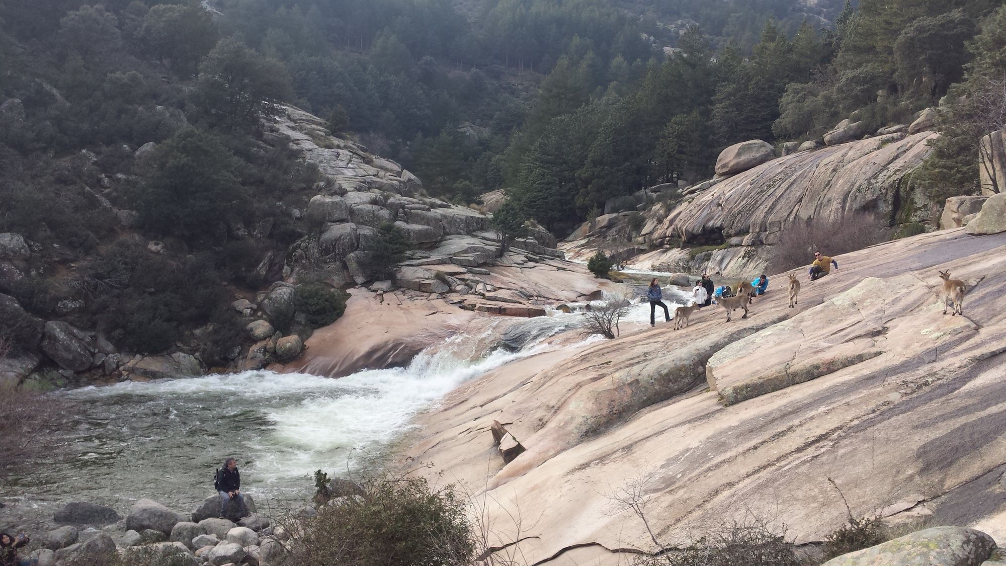
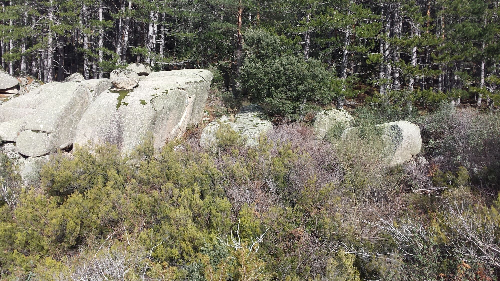
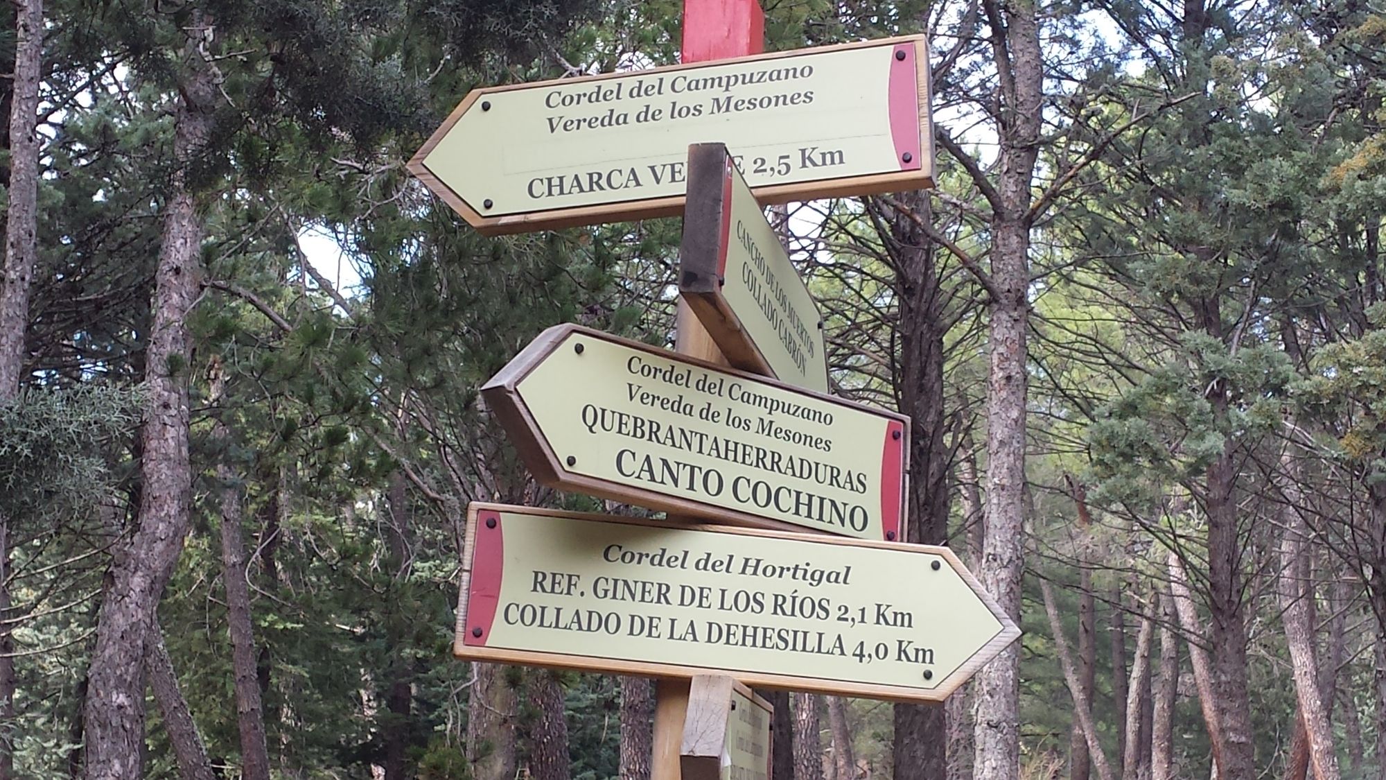
Make a left turn and follow the gradually descending trail down towards the valley. The trail follows the edge of the forest and is accompanied by a small stream. After a while, you will encounter a large free-standing rock and a bit further on a clearing where the GR-10 and PR-M 2 routes meet. From there on out cross the river via a wooden bridge that takes you into the forest. From there on continue to follow the stream on its right-hand side until reaching Canto Cochino. This location is impossible to miss because the stream merges into the much larger Manzanares river. You will also find an info-point as well as a large bridge there.
Segment 4: Canto Cochino - Charca Verde
Difficulty: Easy
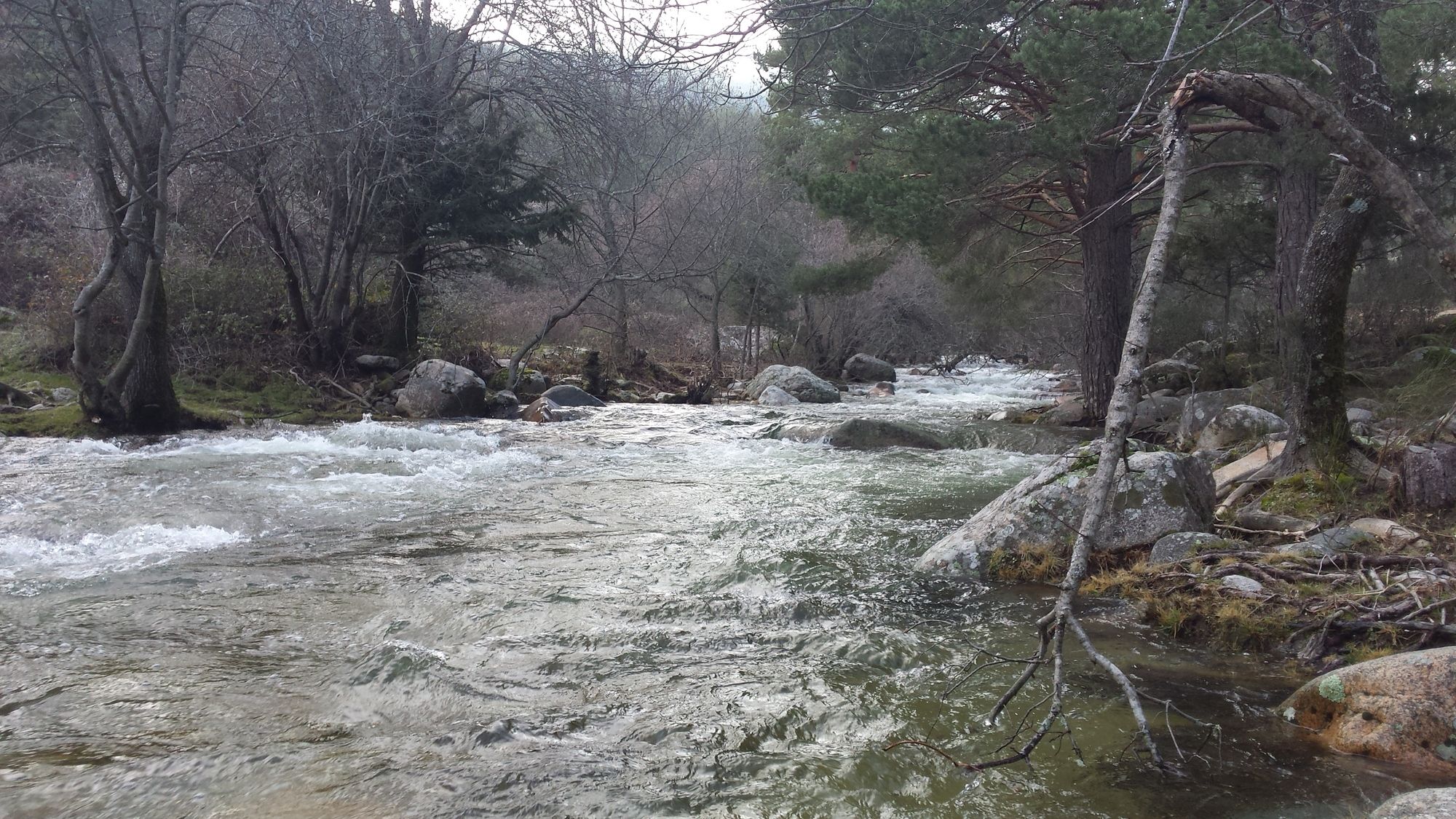
Follow the Manzanares upstream and stay on the right side of the river until reaching the Charca Verde.
Segment 5: Charca Verde - Parking lot Manzanares
Difficulty: Easy
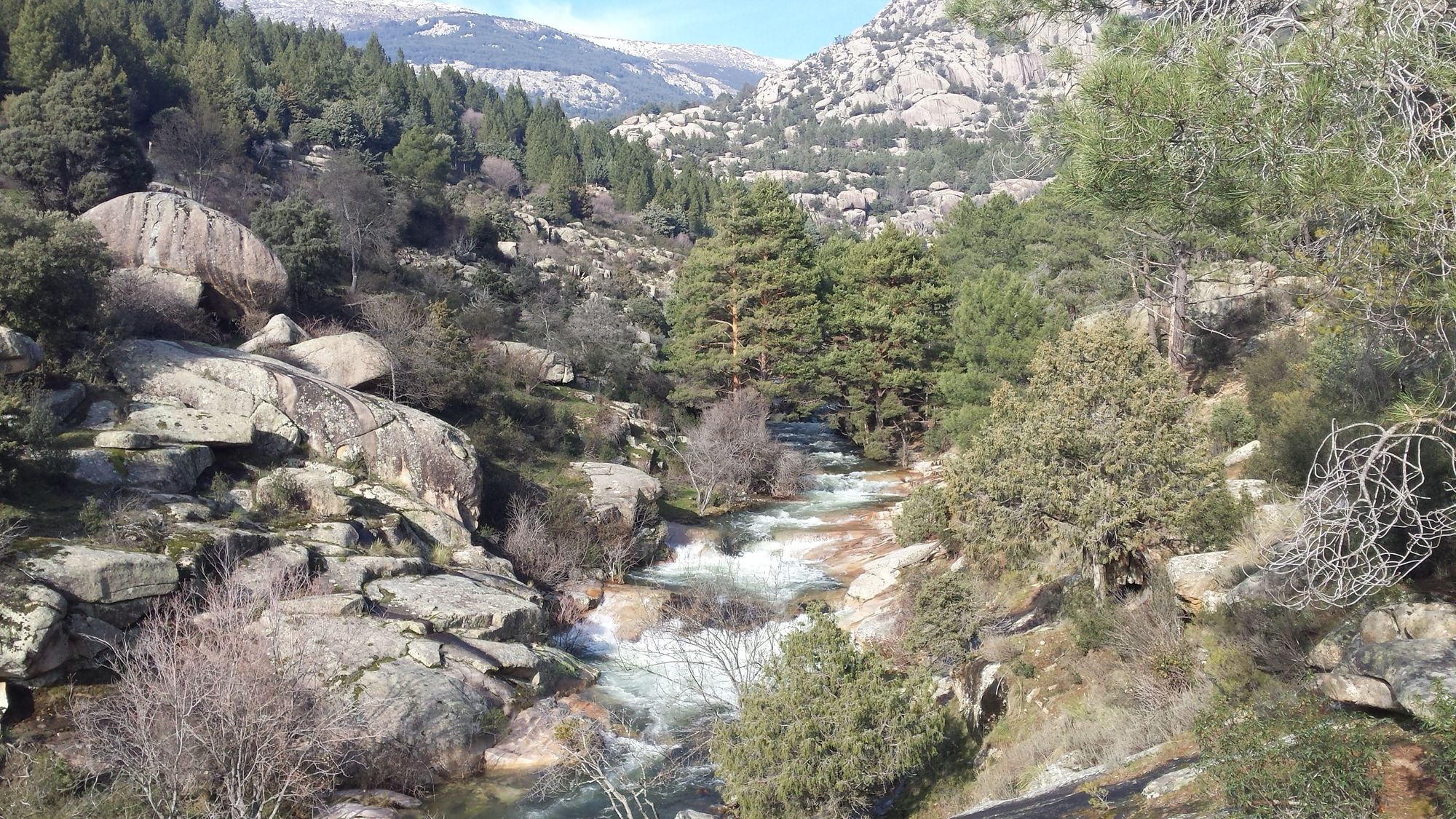
Follow the same way back to Canto Cochino. From there on out follow the path marked in white-red which takes you through a rocky gorge back to the parking lot.







Da
Da
Da
Da
Da
There are lots of possibilities for parking, however it is advised to arrive early (best before 09:00) as they fill up quickly.

Priljubljeni izleti v okolici
-
5.0
Navacerrada - La Maliciosa - Bola del Mundo - Navacerrada
srednjaPohodništvo 14.4 km -
5.0
Puerto de Cotos - Pico de Peñalara
svetlobaPohodništvo 5.64 km -
4.0
Manzanares Ausflug
svetlobaPohodništvo 10.7 km -
Manzanares de Real
srednjaPohodništvo 8.26 km -
Manzanares- Maliciosa baja
težkoGorski pohodništvo 16.9 km -
La Pradera de Navalhorno - Puerto de Navacerrada - Cruz de la Gallega - Hostal El Torreón
težkoMountainbike 67.1 km -
5.0
Puerto de Navacerrada - Siete Picos - Quinto Pico - Siete Picos - Somontano - Mirador del Puerto
srednjaPohodništvo 9.13 km -
Manzanares El Real Spacerowanie - Yelmo
svetlobaPohodništvo 10.4 km -
Moralzarzal - Cabeza Mediana - Ermita el Santo
težkoMountainbike 11.6 km -
La Barranca
srednjaPohodništvo 12.4 km
Pohodništvo in sledenje


Ne zamudite ponudb in navdiha za naslednje počitnice
Vaš e-poštni naslov je bil dodan na poštni seznam.





