Navigacija po spletni strani
Pridobite to turo v svoj mobilni telefon
Zemljevid
The Salt Routes: The Smugglers' Route

srednja
Pohodništvo v daljavo
117.67 km
Skenirajte kodo QR in začnite navigacijo v aplikaciji bergfex.
QR Code
Pohodništvo in sledenje
Prenos za iOS
Prenos za Android

The Salt Routes: The Smugglers' Route
srednja
Pohodništvo v daljavo
Zemljevid
Razdalja
117.7 km
Trajanje
40:05 h
Ascent
5,437 hm
Morska gladina
2 - 2,314 m
Prenos skladbe
Zemljevid
The Salt Routes: The Smugglers' Route
srednja
Pohodništvo v daljavo
117.67 km

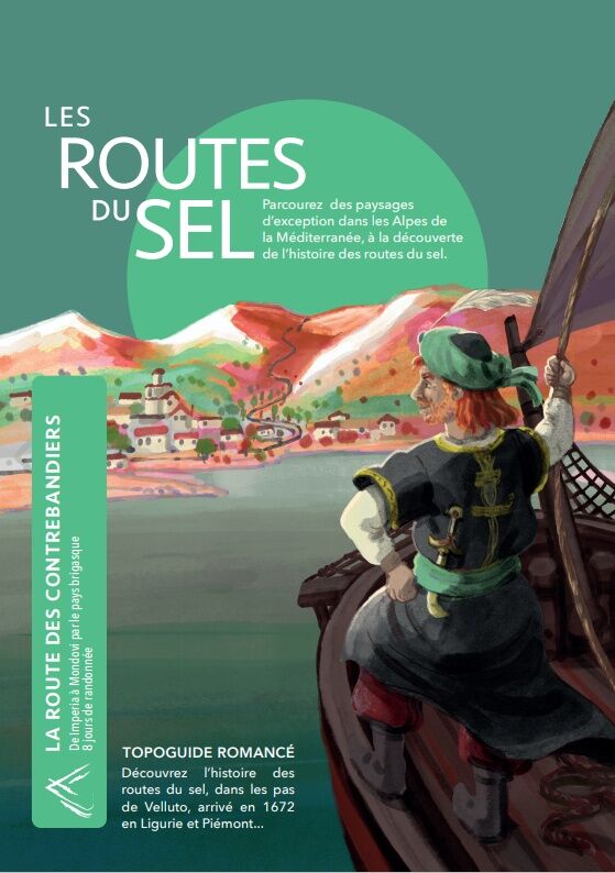
The Salt Routes project is the result of a successful cross-border cooperation between local authorities, natural parks, and chambers of commerce of the Alpes-Maritimes, Piedmont, and Liguria.

Halfway...

Opis

The Salt Routes project is the result of a successful cross-border cooperation between local authorities, natural parks, and chambers of commerce of the Alpes-Maritimes, Piedmont, and Liguria.

Halfway between a hiking guide and a novel, the three-volume collection "Pagarine route", "Royal route", "Smugglers' Route" allows you to discover this period of history in a playful, both faithful and fictional way.

Through this original format, the Franco-Italian partners wanted to offer a different perspective on the close historical and cultural ties that unite this territory thanks to the support of passionate historians.

Hiking these three routes is an opportunity to discover the countless riches of the territory in the heart of magnificent landscapes between the Alps and the Mediterranean. Volume 3, from Imperia to Mondovi, follows the footsteps of our fictional hero Velluto along the ancient Smugglers' Route. It can be viewed at this link.

This project is funded by the ALPIMED PATRIM project under the INTERREG ALCOTRA program.

Pot
Pot
Zemljevid
The Salt Routes: The Smugglers' Route
srednja
Pohodništvo v daljavo
117.67 km
Oneglia
(5 m)
Soseska
0.5 km
Gesù la parola vivente
(9 m)
Kraj čaščenja
1.2 km
Chiesa di Cristo Re
(17 m)
Kraj čaščenja
1.4 km
Imperia
(14 m)
Mesto
1.6 km
Monte Bardellini
(267 m)
Vrh
2.5 km
Colle dei Bardellini
(237 m)
Gorski prelaz
3.3 km
Borgo Sant'Agata
(280 m)
Vas
5.3 km
Monte Pozzu
(374 m)
Vrh
5.4 km
Oratorio di Nostra Signora dell'Annunziata
(277 m)
Kraj čaščenja
9.8 km
Bestagno
(277 m)
Poravnava
9.8 km
Chiesa parrocchiale di San Sebastiano
(279 m)
Kraj čaščenja
9.8 km
Oratorio di San Carlo Borromeo
(227 m)
Kraj čaščenja
12.1 km
Chiesa parrocchiale della Madonna della Neve
(235 m)
Kraj čaščenja
12.2 km
Villa Guardia
(231 m)
Poravnava
12.2 km
Sarola
(139 m)
Poravnava
14.6 km
Olivastri
(240 m)
Poravnava
16.1 km
Borgoratto
(173 m)
Vas
17.2 km
Chiesa parrocchiale di San Biagio e San Francesco di Sales
(128 m)
Kraj čaščenja
17.4 km
La Tavernaccia
(129 m)
Restavracija
17.4 km
Trattoria Nazionale
(137 m)
Restavracija
17.5 km
Oratorio della Santa Croce
(134 m)
Kraj čaščenja
17.5 km
Chiusavecchia
(136 m)
Vas
17.5 km
Santuario della Madonna dell'Oliveto
(209 m)
Kraj čaščenja
17.8 km
Chiesa parrocchiale di Santo Stefano
(387 m)
Kraj čaščenja
19.1 km
Chiusanico
(379 m)
Vas
19.1 km
Sant'Anna
(455 m)
Kraj čaščenja
19.6 km
Pizzo Montin
(952 m)
Vrh
22.9 km
Monte Verderi
(747 m)
Vrh
27.2 km
Monte Mucchio di pietre
(770 m)
Vrh
28.0 km
Cartari
(637 m)
Poravnava
30.0 km
Oratorio
(626 m)
Kraj čaščenja
30.1 km
Chiesa di Santa Lucia
(232 m)
Kraj čaščenja
35.0 km
Muzio
(230 m)
Poravnava
35.0 km
Oratorio di Santa Croce
(237 m)
Kraj čaščenja
35.0 km
Cappella di San Benedetto
(555 m)
Kraj čaščenja
40.8 km
Chiesa parrocchiale di Nostra Signora Assunta
(554 m)
Kraj čaščenja
41.1 km
Cenova
(576 m)
Vas
41.2 km
Oratorio dei Santi Giovanni Battista e Giovanni Evangelista
(575 m)
Kraj čaščenja
41.3 km
Monte Bisciaire
(1,518 m)
Vrh
47.1 km
Passo Bisciaire
(1,506 m)
Gorsko sedlo
47.3 km
Poggio Pian del Latte
(1,778 m)
Vrh
48.9 km
Passo di Pian del Latte
(1,766 m)
Gorsko sedlo
49.2 km
Monte Frontè
(2,151 m)
Vrh
54.8 km
Monte Cimanasso
(2,085 m)
Vrh
56.7 km
Rifugio Sanremo
(2,069 m)
Zatočišče (brez upravljanja)
57.4 km
Cima Valletta della Punta
(2,092 m)
Vrh
57.6 km
Rifugio La Terza
(2,026 m)
Zavetišče
58.0 km
Sella della Valletta
(2,046 m)
Gorsko sedlo
58.2 km
Punta di Santa Maria
(2,138 m)
Vrh
58.7 km
Mont Saccarel
(2,200 m)
Vrh
59.5 km
Cime Ventose
(2,137 m)
Vrh
61.9 km
Pointe de Farenga / Punta Farenga
(2,209 m)
Vrh
62.9 km
Cime Missoun
(2,356 m)
Vrh
64.7 km
Colla Rossa
(2,178 m)
Gorsko sedlo
66.5 km
Poggio Lagone
(1,898 m)
Koridor/teren
68.1 km
Madonna della Neve
(1,330 m)
Kraj čaščenja
72.0 km
Upega
(1,299 m)
Poravnava
72.7 km
Passo del Lagarè
(1,746 m)
Gorski prelaz
74.8 km
Carnino Superiore
(1,383 m)
Poravnava
76.4 km
Carnino Inferiore
(1,387 m)
Poravnava
76.9 km
Foresteria di Carnino
(1,354 m)
Zavetišče
76.9 km
Tetti delle Donzelle
(1,515 m)
Koridor/teren
77.6 km
Rifugio Ciarlo Bossi
(1,527 m)
Zatočišče (brez upravljanja)
77.8 km
Entrata nella gola delle Saline
(1,775 m)
Pogled
78.9 km
Uscita dalla gola delle Saline
(1,832 m)
Pogled
79.1 km
Gias Pra Canton
(1,764 m)
Koridor/teren
83.4 km
Rifugio Mondovì - Havis De Giorgio
(1,763 m)
Zavetišče
84.7 km
Sella Ciappa
(1,662 m)
Gorsko sedlo
85.8 km
Pian Marchisio
(1,634 m)
Koridor/teren
86.4 km
Ponte Ciappa
(1,624 m)
Koridor/teren
86.6 km
Porta di Pian Marchisio
(1,637 m)
Koridor/teren
86.7 km
Sella Pontetto
(1,544 m)
Gorsko sedlo
88.2 km
Lis
(1,300 m)
Koridor/teren
90.7 km
Ponte Murato
(1,224 m)
Koridor/teren
91.6 km
Casa del Sale
(980 m)
Koridor/teren
93.5 km
Tetto Nuovi
(886 m)
Poravnava
95.2 km
Borgata Rastello
(826 m)
Poravnava
95.9 km
Pra Bertel
(742 m)
Poravnava
97.1 km
Borgata Norea
(664 m)
Vas
99.2 km
Albergo Ristorante Commercio
(661 m)
Restavracija
99.5 km
Borgata Annunziata
(646 m)
Poravnava
100.4 km
I Gavotti
(645 m)
Poravnava
101.1 km
Casali Morà
(587 m)
Poravnava
102.7 km
Cappella del Santissimo Crocifisso
(810 m)
Kraj čaščenja
106.5 km
Villavecchia
(605 m)
Poravnava
108.1 km
Villanova Mondovì
(527 m)
Vas
109.3 km
Chiesa di San Luigi e San Venanzio
(510 m)
Kraj čaščenja
110.8 km
Eula
(510 m)
Poravnava
110.9 km
Ferrone
(430 m)
Soseska
116.3 km
Borgato
(406 m)
Soseska
116.9 km
Chiesa di San Agostino
(392 m)
Kraj čaščenja
117.5 km
Mondovì
(389 m)
Mesto
117.5 km
Santo Stefano
(396 m)
Kraj čaščenja
117.6 km
Breo
(387 m)
Soseska
117.6 km
Informacije o turneji

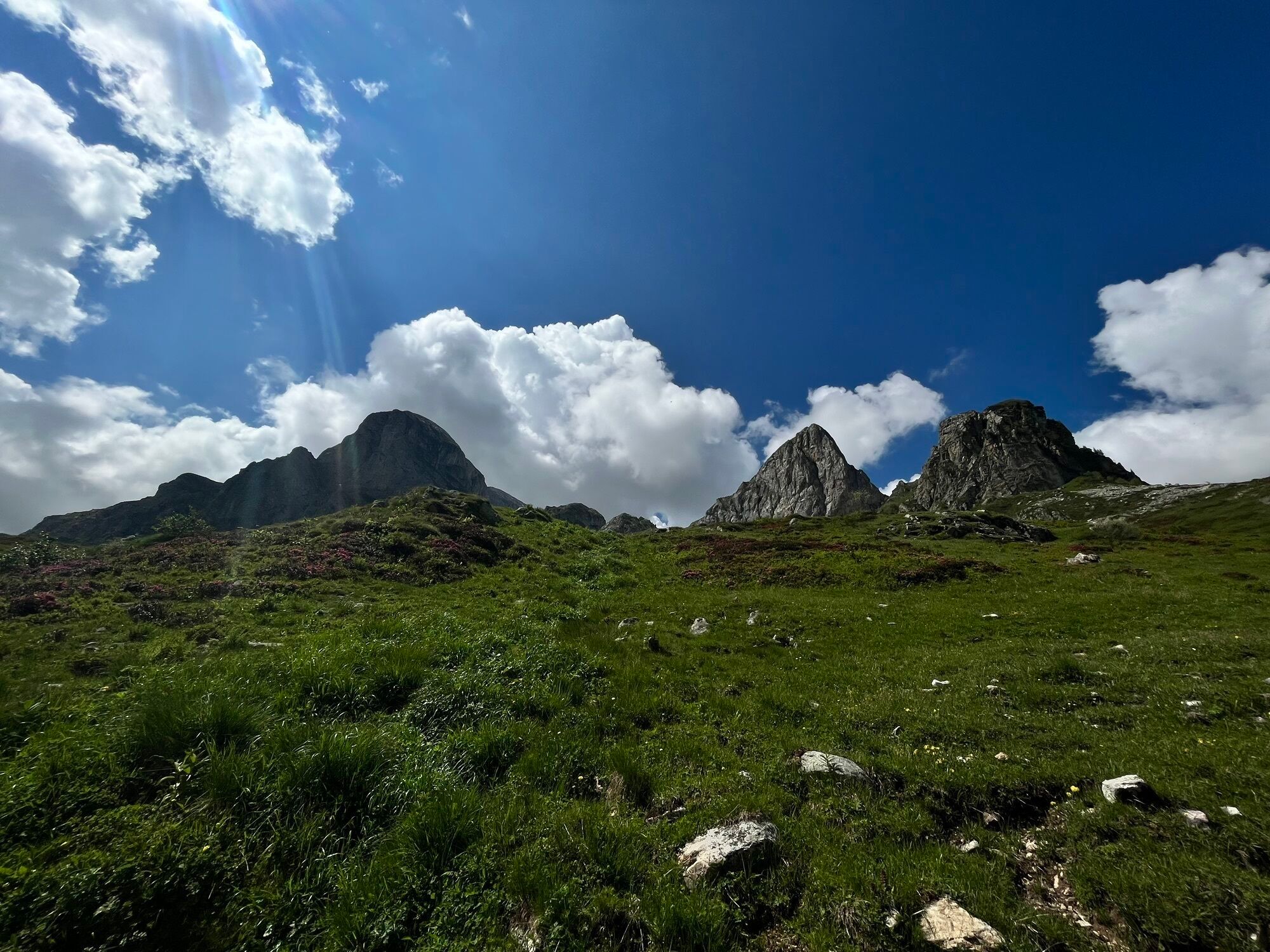
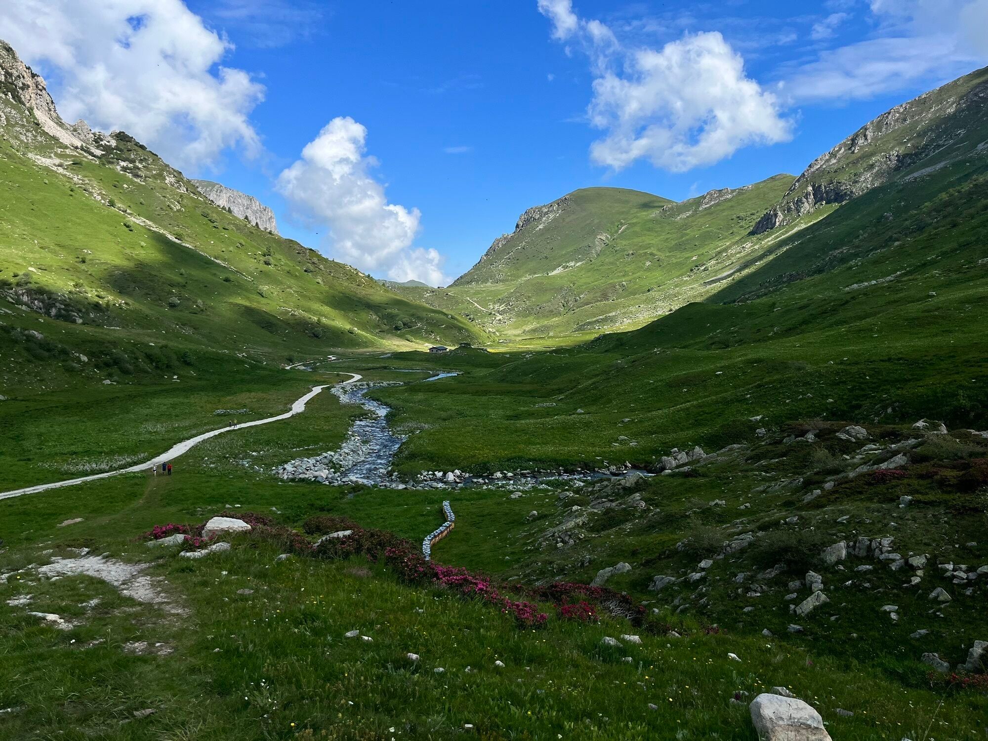
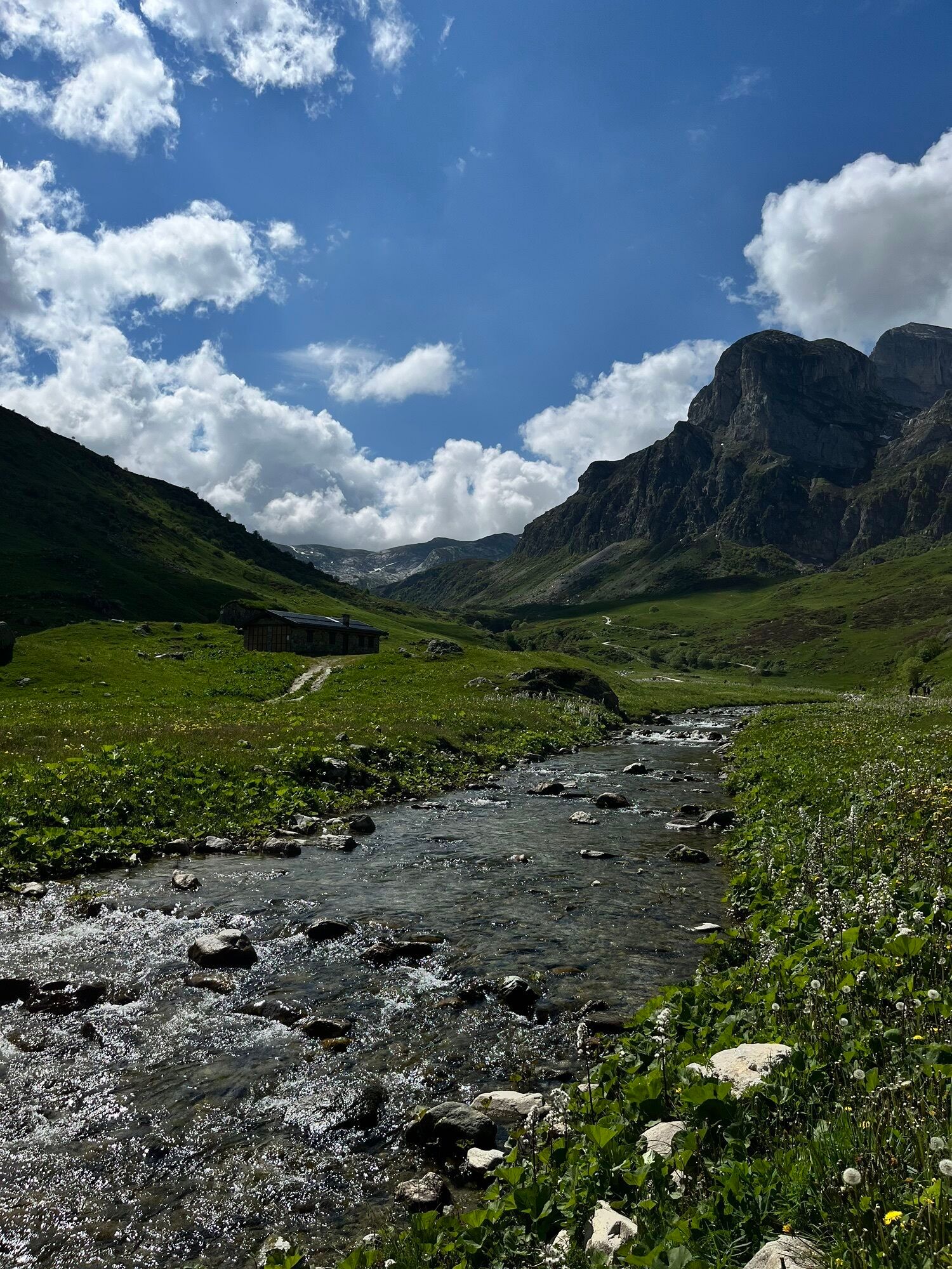
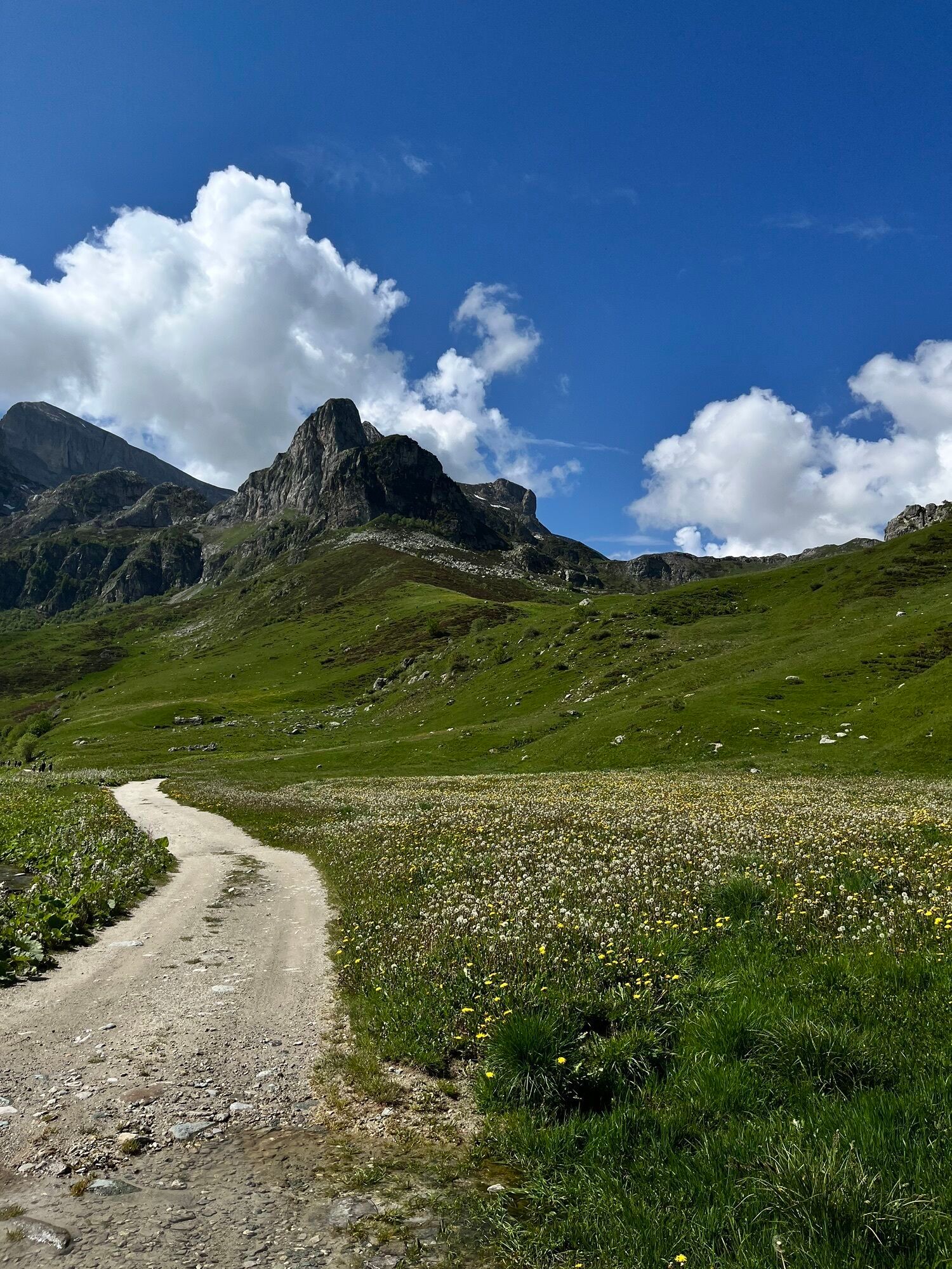
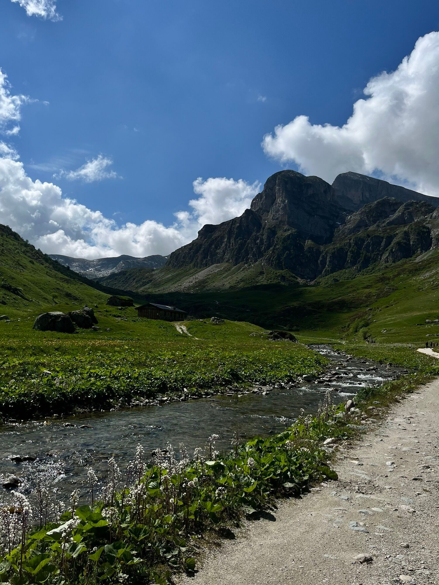
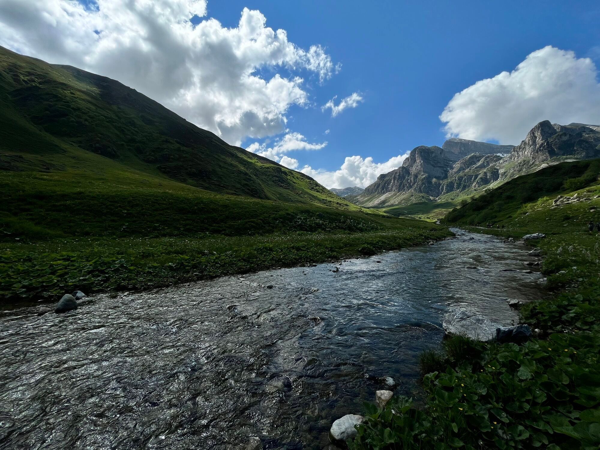
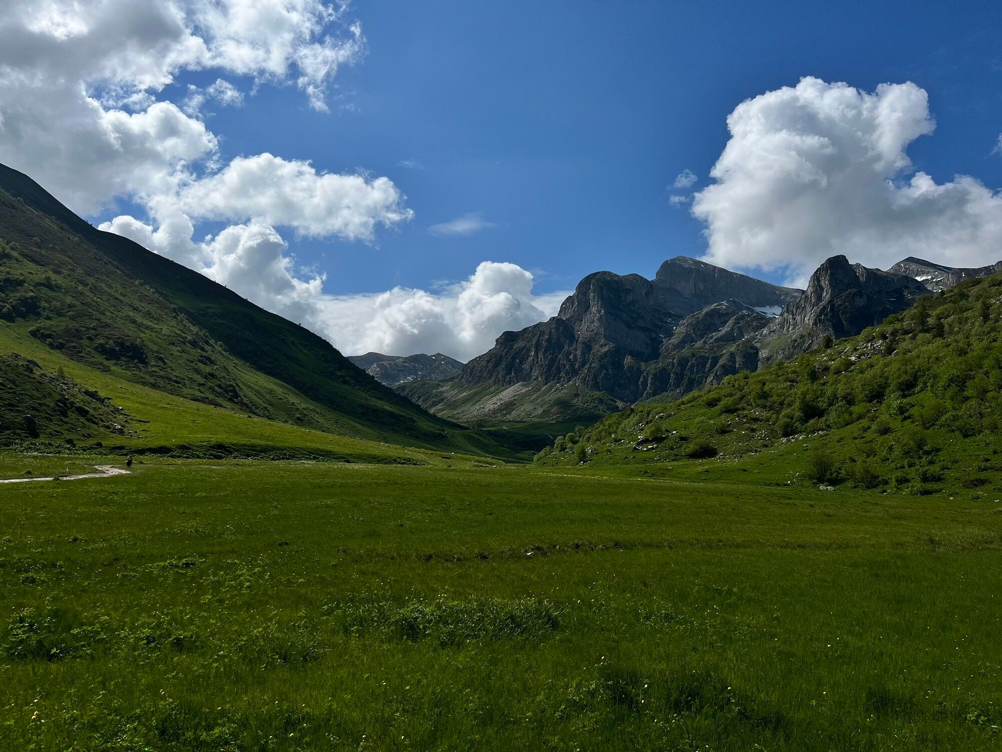
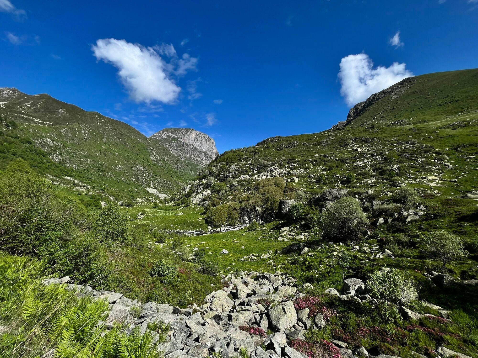
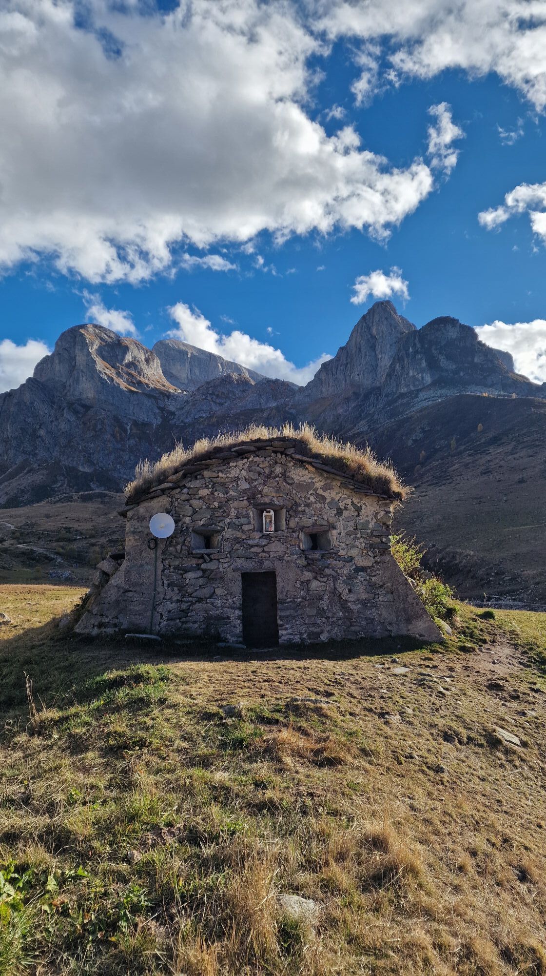
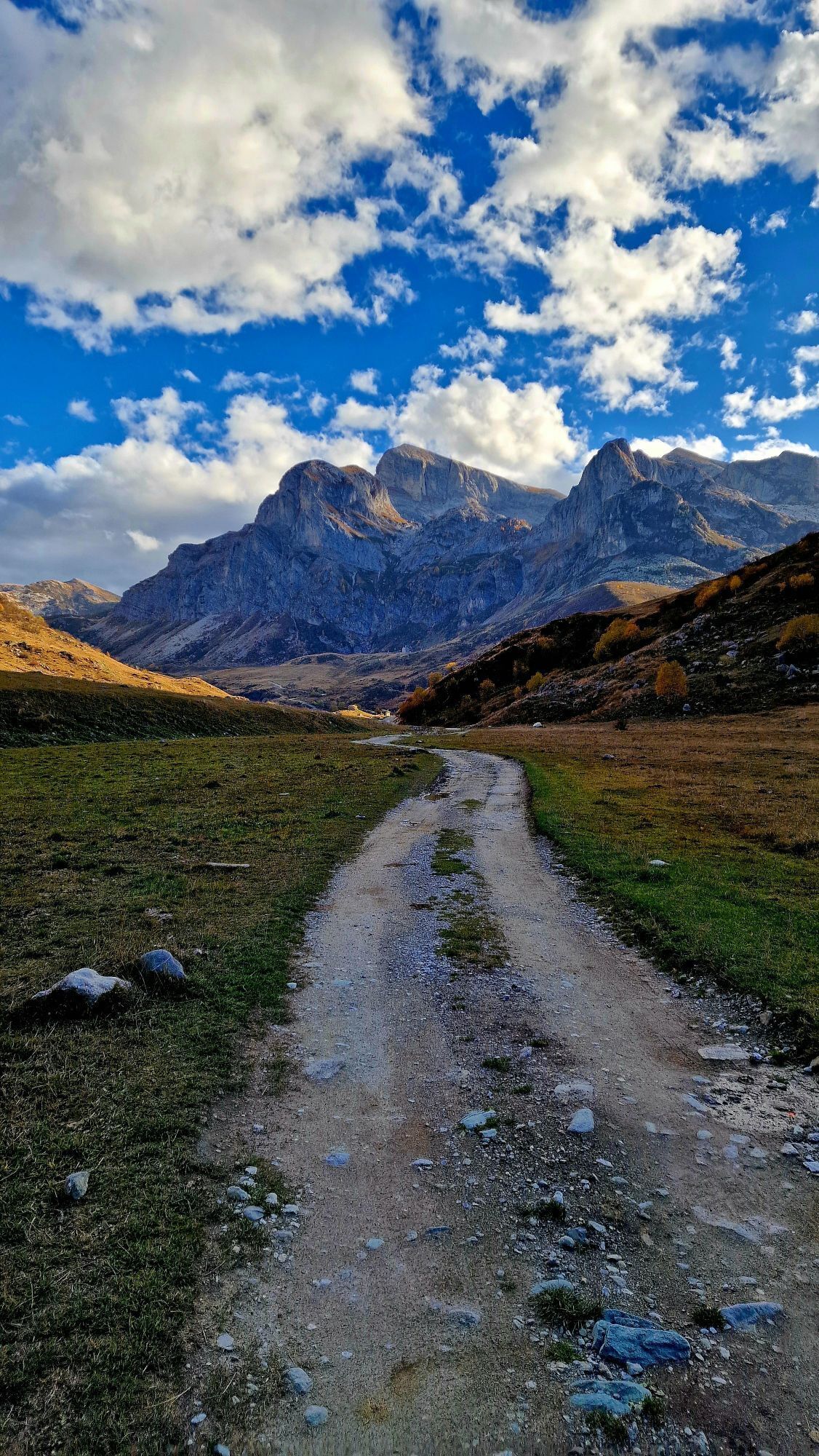
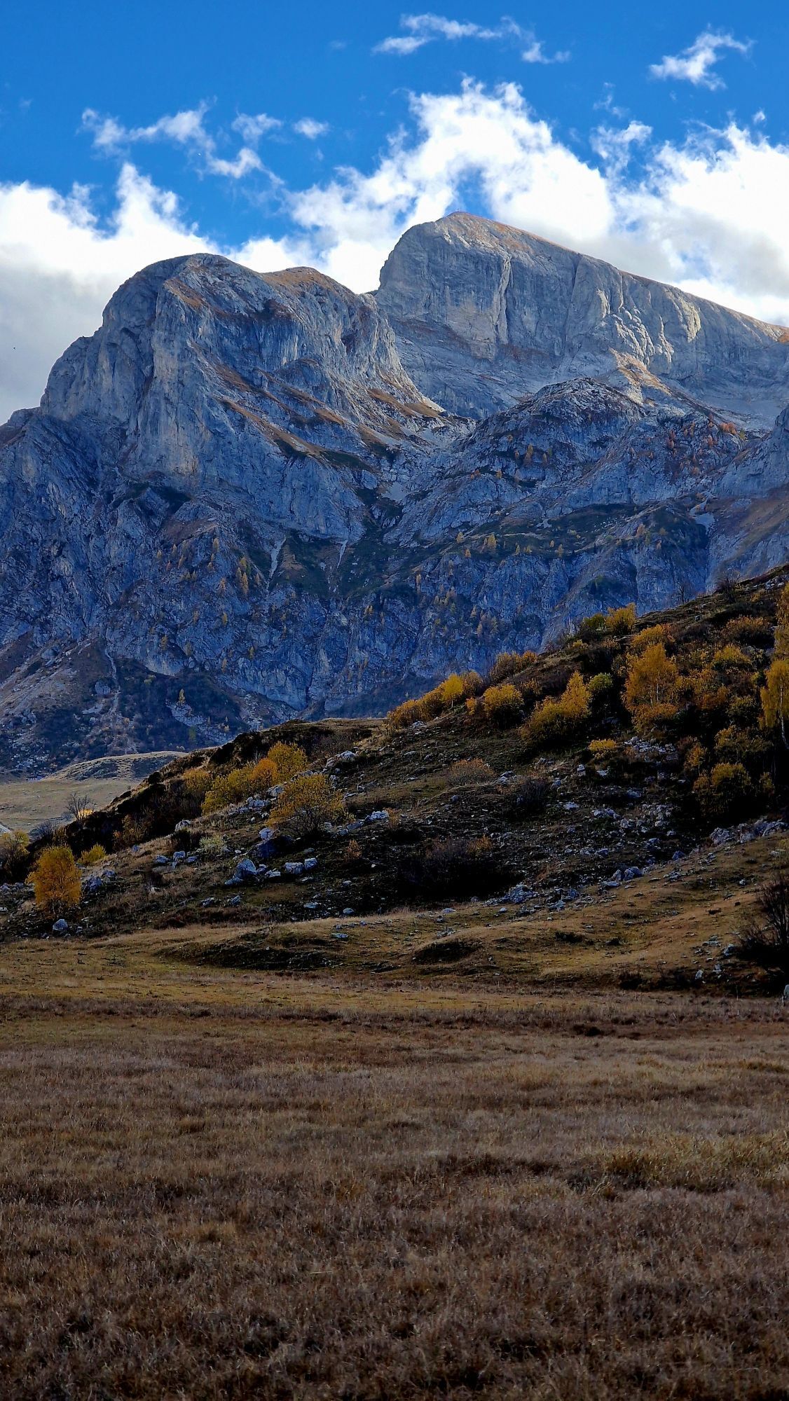
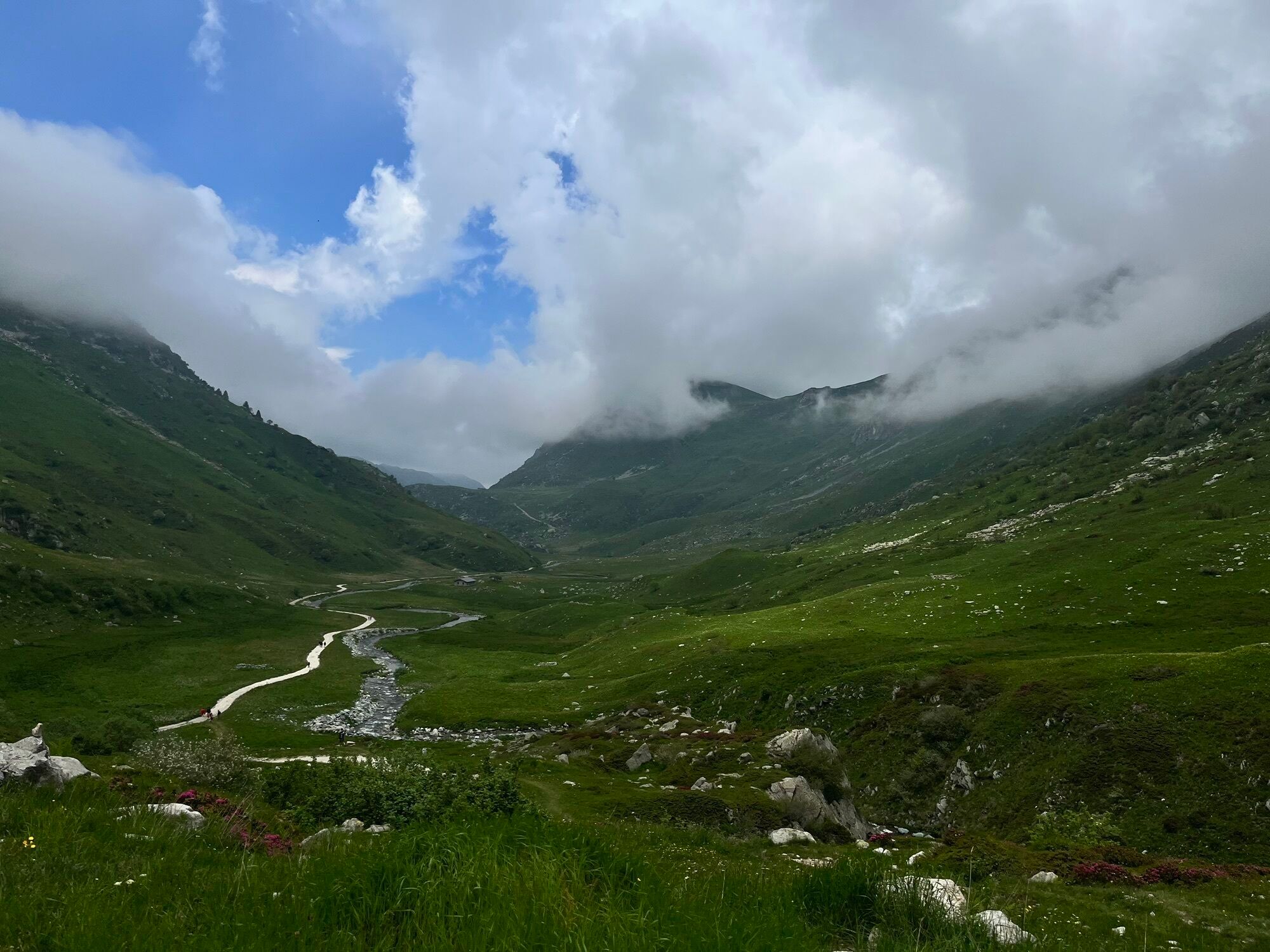
The Italian hiking route "the Smugglers' Route" connects Imperia to Mondovì in 8 stages between Liguria and Piedmont, passing through the Brigasque area. It is based on the historical salt routes and invites you to discover the countless riches of the territory in the heart of magnificent landscapes between the Alps and the Mediterranean.

Tehnologija
n.a.
Stanje
4 / 6
Pokrajina
6 / 6
Izkušnje
6 / 6
Najboljši letni čas
Jan
Feb
Mar
Apr
Maj
Jun
Jul
Avg
Sep
Okt
Nov
Dec
Skupna turneja
Zemljevid
The Salt Routes: The Smugglers' Route
srednja
Pohodništvo v daljavo
117.67 km
Napaka
Zgodila se je napaka. Prosimo, poskusite znova.
Informacije o poti
Pot

 Marking on hiking trail poles with the "Salt Route" logo.

Geološki poudarki

Da

Ogled vrha

Da

Varnostna navodila

In case of emergency, dial 112.

Informacije o prihodu
Prihod

Imperia is accessible by train or car.
Consider carpooling. 

Javni prevoz

Within Imperia, public transport is provided by the Riviera Trasporti network.

Dodatne informacije in nasveti
Dodatne informacije

The route has been designed to offer accommodation and dining options at each stage. Be sure to book before your departure! To learn more about the offerings available in the territory, you can contact the tourist offices. 

Mondovì Tourist Office - Ufficio Turistico di Mondovì: Piazza Maggiore, 1, Mondovì - +39 0174 330 358 - iatmondovi@visitcuneese.it 

Azienda turistica locale del Cuneese: +39 0171 690217 - visitcuneese.it 

Nasveti

The novel-guide created for this route is part of a three-volume collection on the theme of the Salt Routes:

The Pagarine route from Nice to Cuneo

The Royal route from Menton to Cuneo

The Smugglers' Route from Imperia to Mondovì

Pohodništvo in sledenje

Pohodništvo in sledenje

prenos za iOSprenos za Android
Pohodništvo in sledenje
Zaradi več kot 550.000 predlogov izletov, podrobnih zemljevidov in intuitivnega načrtovanja poti je aplikacija obvezna oprema za vse ljubitelje narave.
bergfex