





Honkakangas Forest Path
Stopnja težavnosti: T1
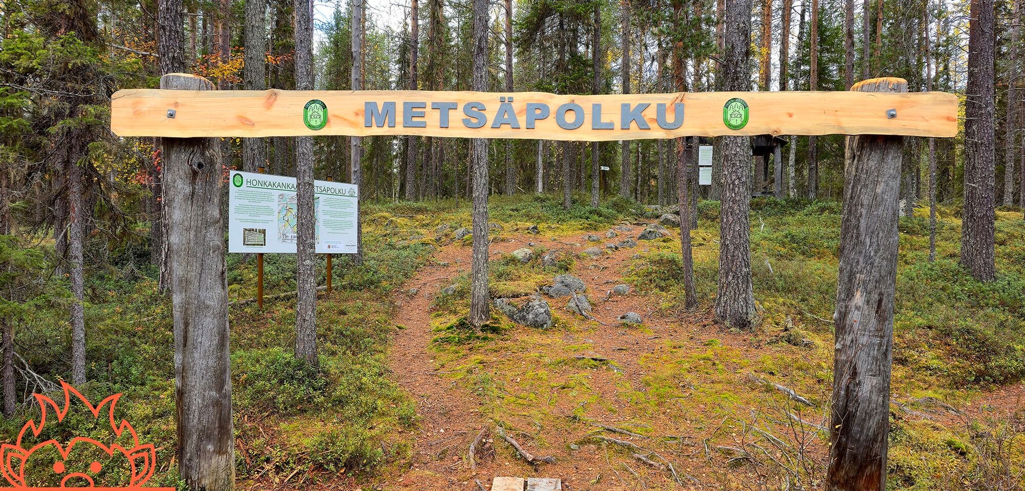
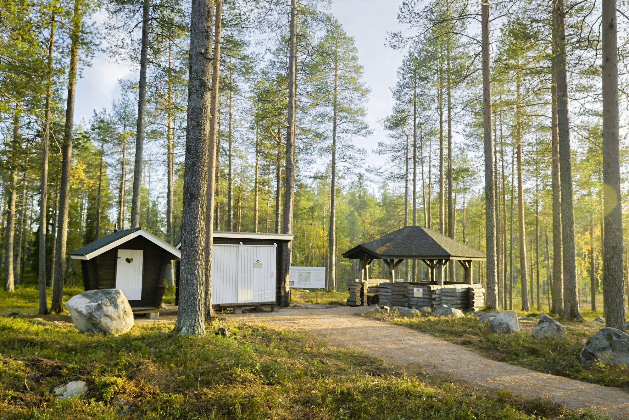
Honkakangas forest trail is a 3 km long circular trail located conveniently close to Kemijärvi town centre. The trail is entirely in a state-owned multi-use forest, and it takes the hiker through beautiful...
Visitors along the route receive plenty of information about forest use and can see the actual condition of forests after various operations, and also if forest management has been neglected. The guardian of the route is forest troll Taimi, whose mission is to keep the forests vital.
ð Starting point: Pöyliöntie 144, parking available
𥾠Lenght: 3 km
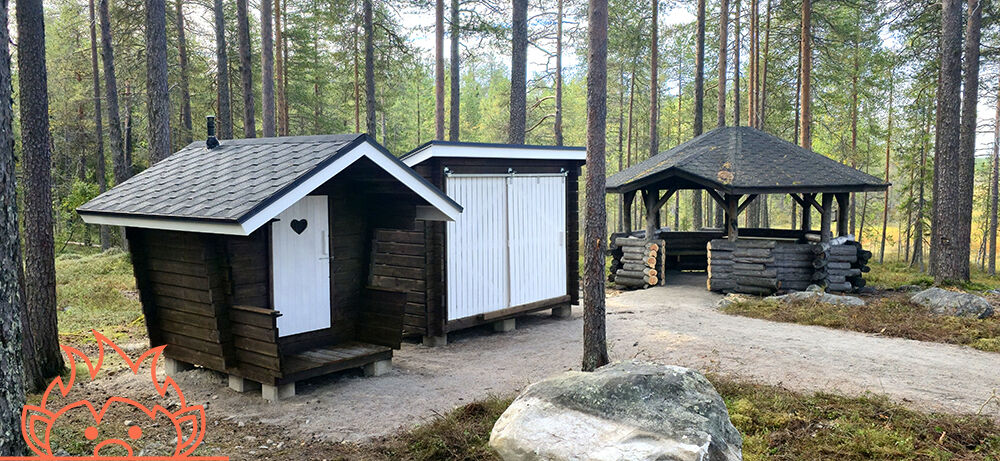
ð¥ Services: Grill shelter, firewood, toilet
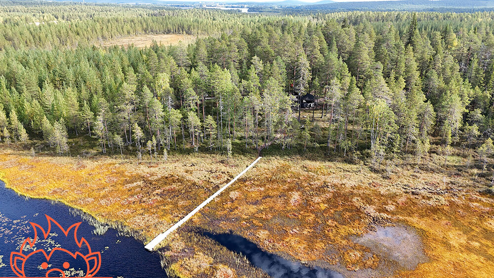
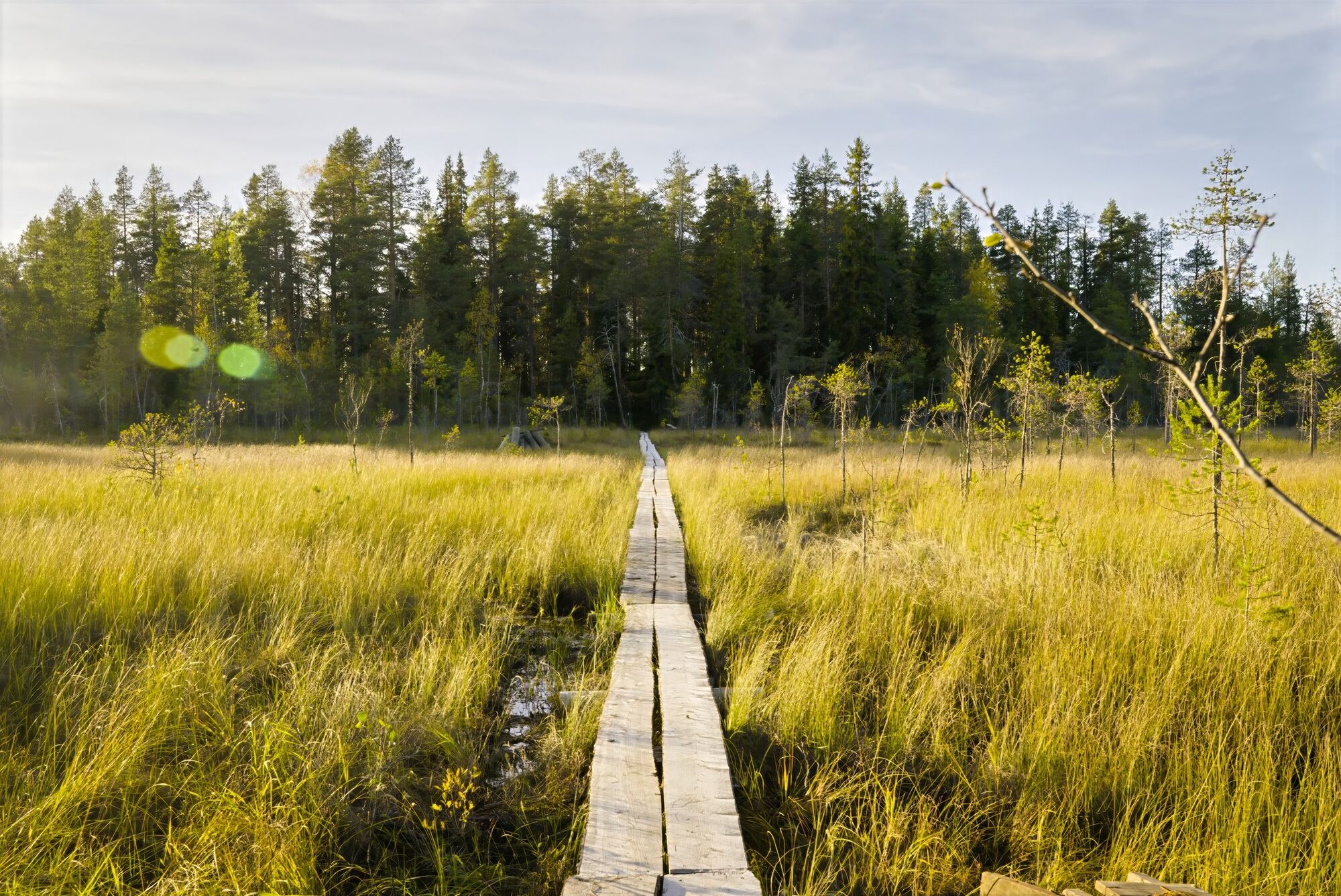
ð² Speciality: Large open pog areas, information signs about forestry
The route was established in the mid-1980s by forest sector organizations and is now maintained by the city of Kemijärvi.

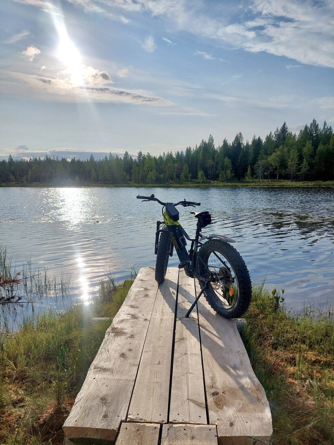

If you are walking or cycling from Kemijärvi city center, use the coastal route. Walk past the library/cultural centre on the footpath. Continue straight on until you reach the Pöyliönti road. Along the way you will find the campground, Jauri Resort, Lapland Arctic Cabins and Puustelli. Route on Google Maps https://maps.app.goo.gl/UpnBJE1DoKHq5soo9.
Da
Da
Sturdy footwear - sneakers or hiking boots with a grippy sole.
A water bottle - especially in warm weather.
A small snack or a thermos - a break at the Honkalampi fireplace is a nice moment on a hike.
Phone - for safety and route photos.
Keep your phone with you and make sure the battery is charged. If necessary, let your loved ones know where you are going. Take care at the fire site - only light the fire in the marked area and always switch it off when you leave.
If arriving on foot or by bike from the Kemijärvi town centre, use the shore route. Walk past the library/cultural center along the pedestrian path. Continue straight all the way to Pöyliöntie. Along the way are a campsite, Jauri Resort, Lapland Arctic Cabins, and Puustelli. Route on Google Maps https://maps.app.goo.gl/UpnBJE1DoKHq5soo9.
There is no public transport to the trailhead; it is recommended to rent a bike to access the trail. There is rental services in the city center of Kemijärvi.
Free parking at the turnaround opposite the departure point
T1
The Honkalampi fire site has a waste and wood disposal service organised by the operator.
You should also take time to read the information boards. The information boards also have QR codes to give you more information about the topics on the board. Also keep an open mind and your senses alert. You may catch a glimpse of the troll!
Priljubljeni izleti v okolici
-
Ämmänvaara nature trail, Kemijärvi
svetlobaPohodništvo 2.48 km -
Road leading to Kotavaara tower, Kemijärvi
svetlobaTematska pot 0.53 km -
Valometsä
svetlobaTematska pot 0.62 km -
Esteetön reitti Honkalmmen tulipaikalle
svetlobaPohodništvo 0.20 km -
Kemijärvi Town Center Walking and Cycling Route
svetlobaPohodništvo 4.80 km -
Kemijärvi - Särkikangas - Kemijärven Siion
svetlobaPohodništvo 5.22 km -
Kemijärvi - Särkikangas
svetlobaPohodništvo 5.06 km -
Pöyliöjärvi Canoeing Route
svetlobaKajak / Kanu 10.6 km -
Honkakangas forest trail
srednjaPohodništvo 3.19 km
Pohodništvo in sledenje


Ne zamudite ponudb in navdiha za naslednje počitnice
Vaš e-poštni naslov je bil dodan na poštni seznam.





