





Kenttälampi hiking route, Salla
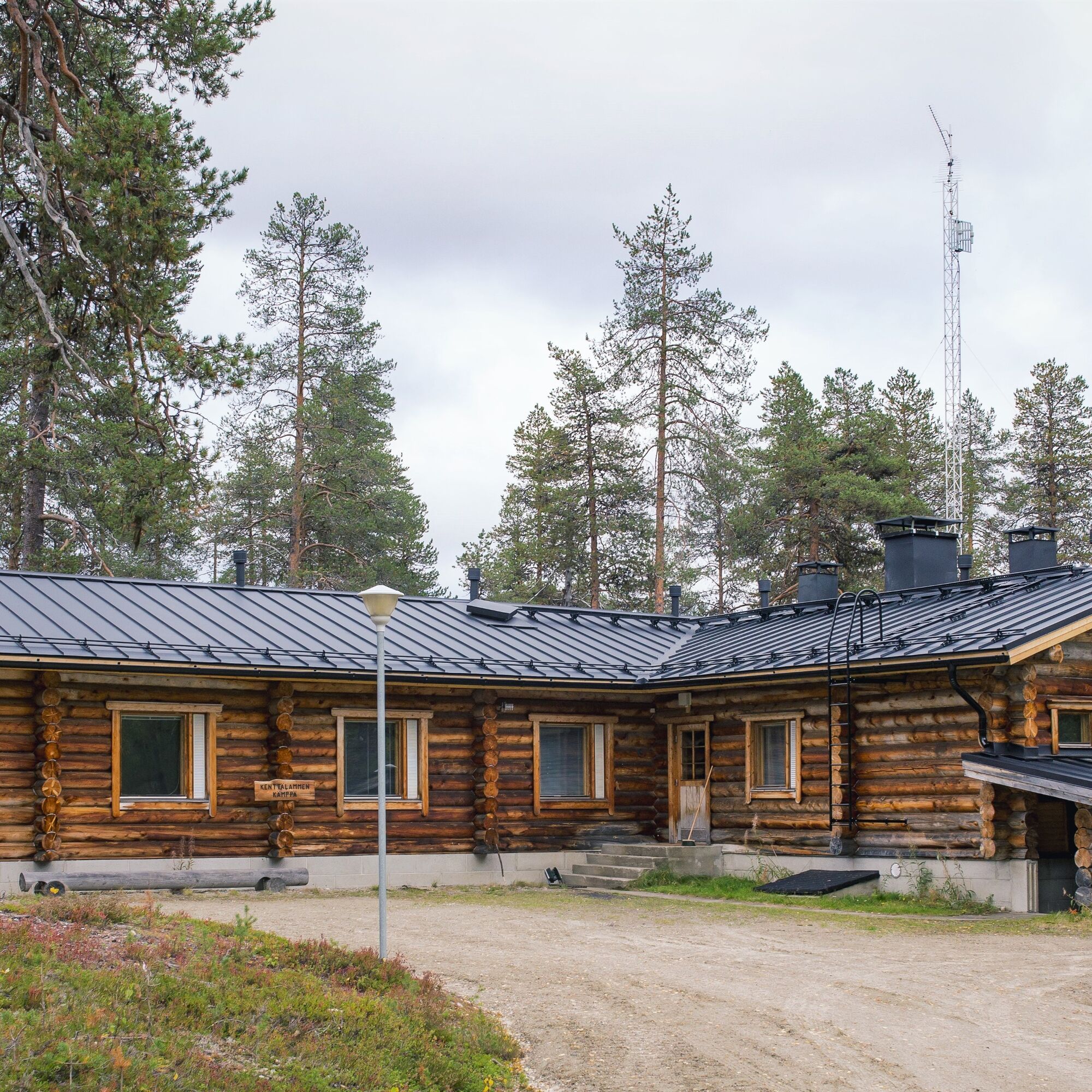
An absolute destination in North Salla especially for larger groups with reservable cabins, outdoor saunas and kota shelters. You can even hold meetings here in peace! The hiking route leads from Kenttälampi...
An absolute destination in North Salla especially for larger groups with reservable cabins, outdoor saunas and kota shelters. You can even hold meetings here in peace! The hiking route leads from Kenttälampi to Naruskantie and back along the same path with varied terrain from magnificent pine ridges to the natural wilderness lake shore of Kenttälampi.
Note:
- The route's difficulty level is demanding; with some steep climbs and marshy areas
- The route is marked with blue squares attached to trees
- Kenttälampi cabin can accommodate even larger groups for overnight stays, with outdoor sauna and large kota shelter also available. The cabin is rented by Salla joint forest company.
- Mobile phone reception is poor in some places

Service facilities of the route: The path is marked with blue squares attached to trees. A couple of campfire sites along the route, without lean-tos or roofs.
Outdoor activities the route can be used for: Hiking.
Route conditions, their risks, and equipment: About half of the trip is narrow and hard to detect path which in many places is very uneven, rocky and wet. In several locations also steep climbs and descents. The most recommended footwear are waterproof, high-cut, ankle-supporting hiking boots.
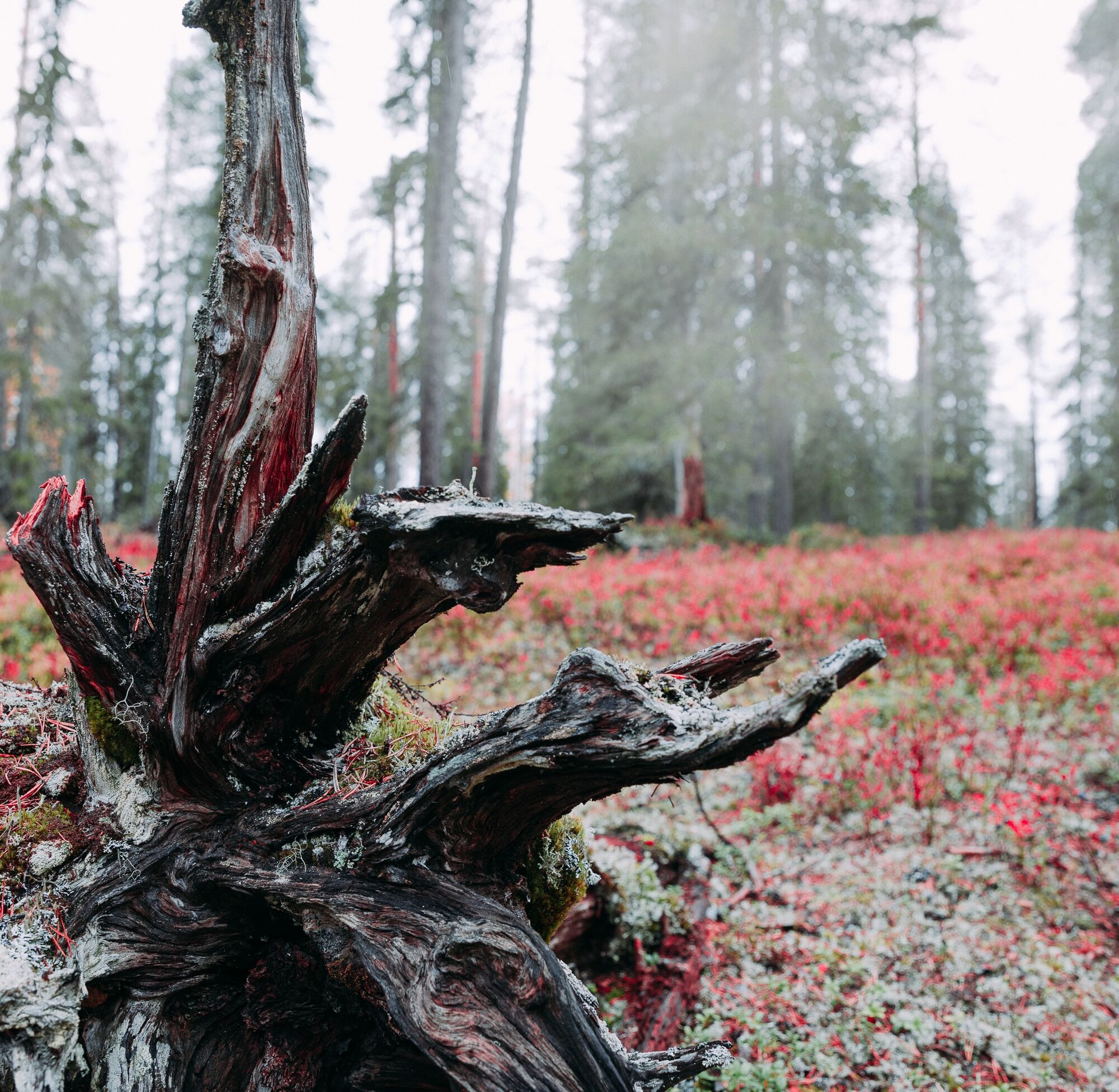
Description of natural environment: The natural environment is very diverse and varied. At the end of Kenttälampi is a wilder and more rugged section and beyond that mostly various types of commercial forest, seedling stands and recently thinned pine forest. In the final part the path goes along magnificent pine ridges for some distance.
Description of cultural environment: Fell landscapes, wilderness and pine ridges.
- Waterproof, high-cut and ankle-supporting hiking boots
- Choose a route considering your fitness, skills and conditions.
- Follow signs and markings.
- Always carry a map and phone with you. You can also download the Salla routes to your phone via the Citynomadi app (pre-downloaded maps work in areas without internet connection).
- Download the 112 app on your phone for emergencies. You have an obligation to stop and help if you notice someone in need of assistance.
Located north of the village of Naruska and east of the Naruska River. Not accessible by public transport, but the starting point can be reached by car. Driving instructions to Kenttälampi: From Salla towards Savukoski approx. 30 km, then turn right onto Naruskantie. Follow Naruskantie about 38 km, then turn right onto Kenttälammentie. From Naruskantie to Kenttälampi about 4 km. The hiking route start is on the left side of the road a few hundred meters before Kenttälampi.
Nearest railway station in Kemijärvi (1h). Bus connection to Salla from the night train.
Nearest airports Kuusamo (1.5 h) and Rovaniemi (2 h).
Always check the availability and schedules of buses on Matkahuolto's website.
Free parking at the starting area.
Remember the principle of leaving no trace: everything taken into nature must be brought out again. Hikers do not leave their marks in nature.
The Kulla Channel waterfall is located in Naruska!
Pohodništvo in sledenje


Ne zamudite ponudb in navdiha za naslednje počitnice
Vaš e-poštni naslov je bil dodan na poštni seznam.





