



Little Lynx route Hattula

Stopnja težavnosti: T1
Set out with your family on an adventure where nature and old folk tales meet! The Little Lynx route in Hattula takes you to the top of Tenhola castle hill and back. Along the way, you will find six old...
Set out with your family on an adventure where nature and old folk tales meet! The Little Lynx route in Hattula takes you to the top of Tenhola castle hill and back. Along the way, you will find six old folk tales of Hattula – some are completely true, others have a touch of magic.
The path is short and mostly easy to walk, suitable for those seeking a short route and for families with children. The climb to Tenhola castle hill is steep, so it's best not to hurry while walking.
The route is best suited for walking on foot. Pushing strollers on the paths can be challenging in places, and strollers cannot be taken to the castle hill. The route is passable on foot from spring to autumn.

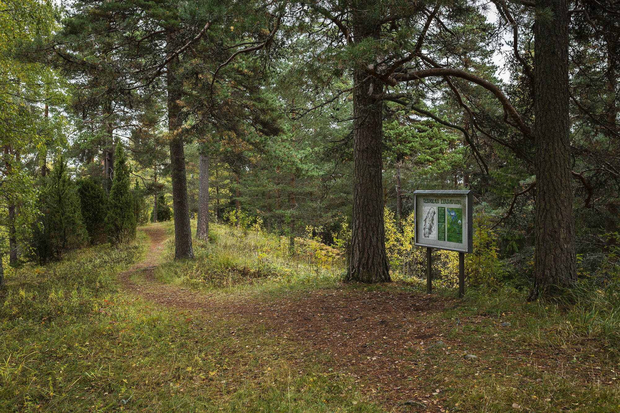
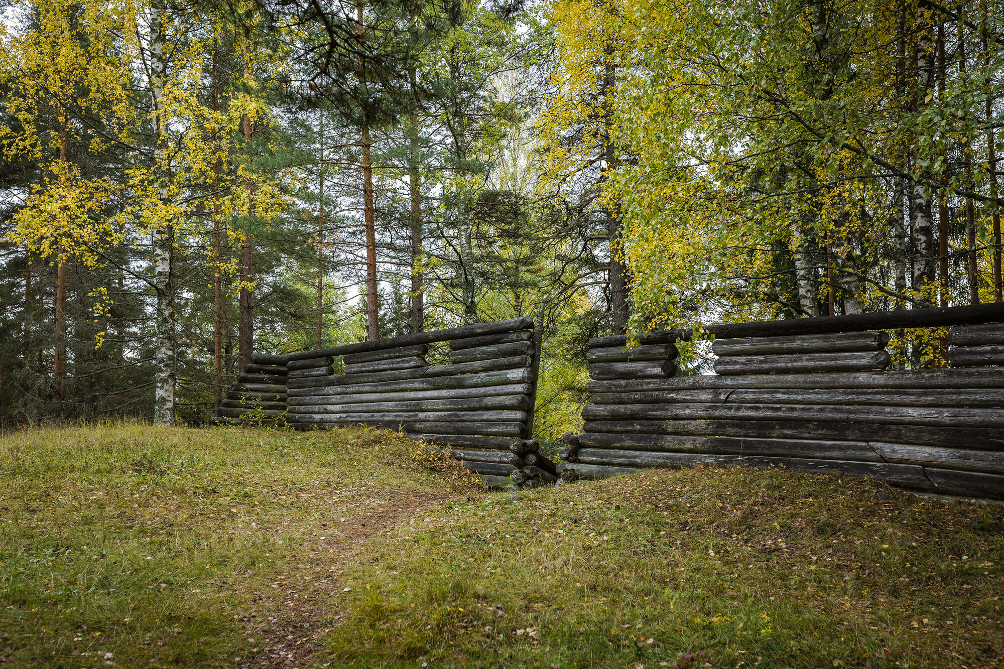

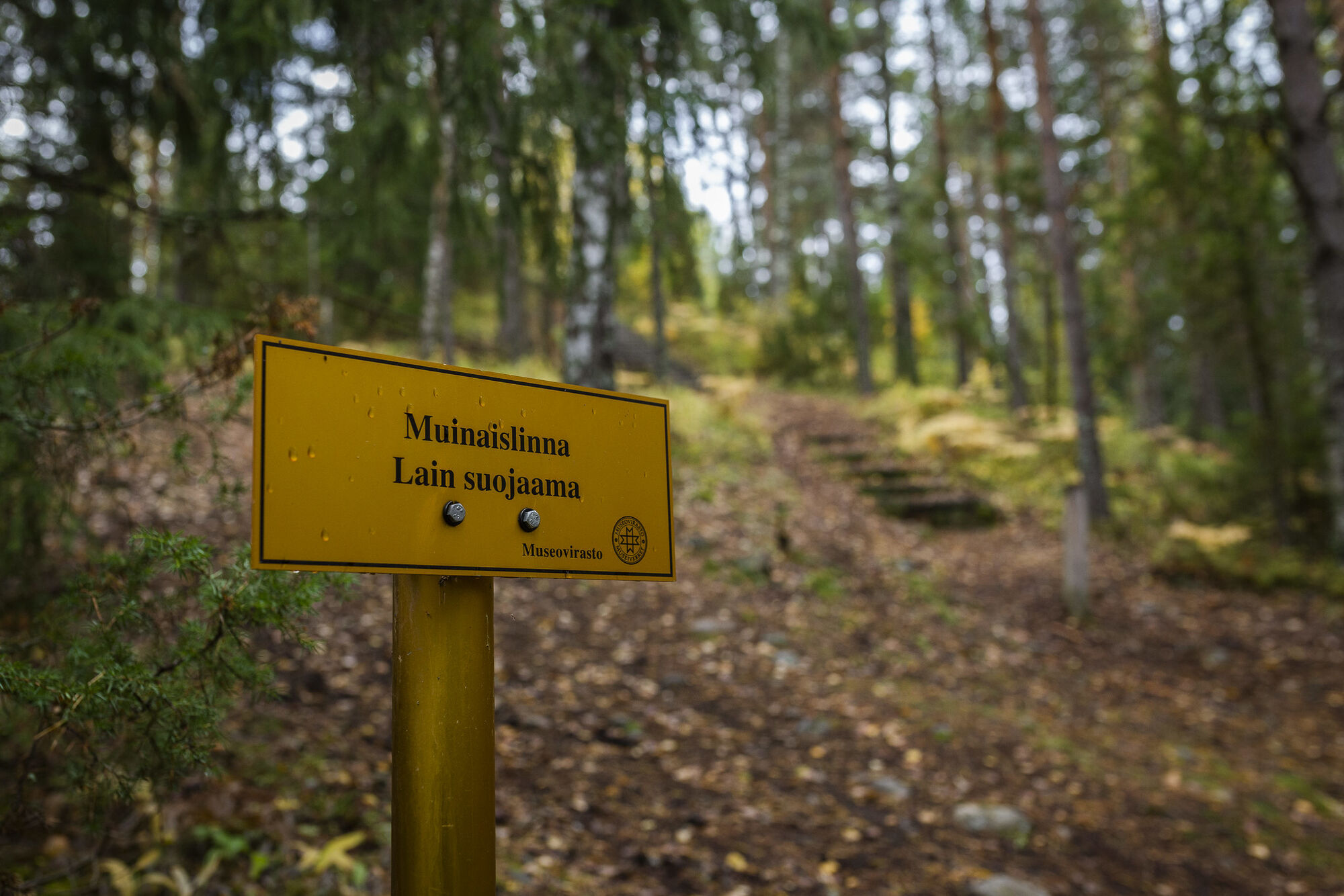


Walk about 400 meters from the parking area along a sandy forest road to the starting point of the route.
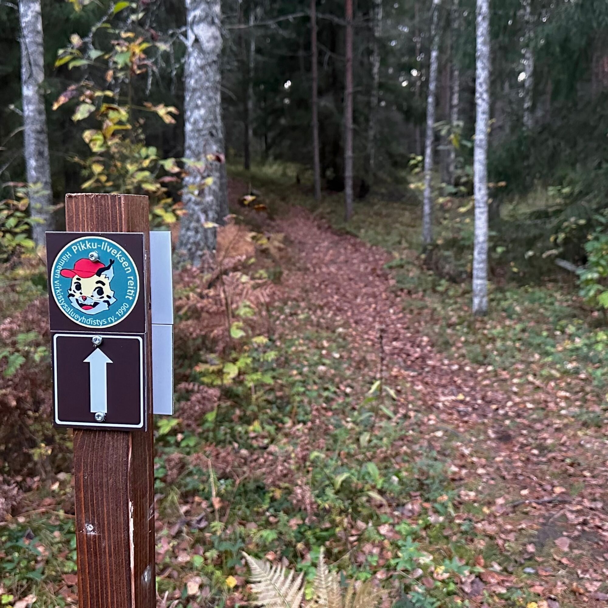
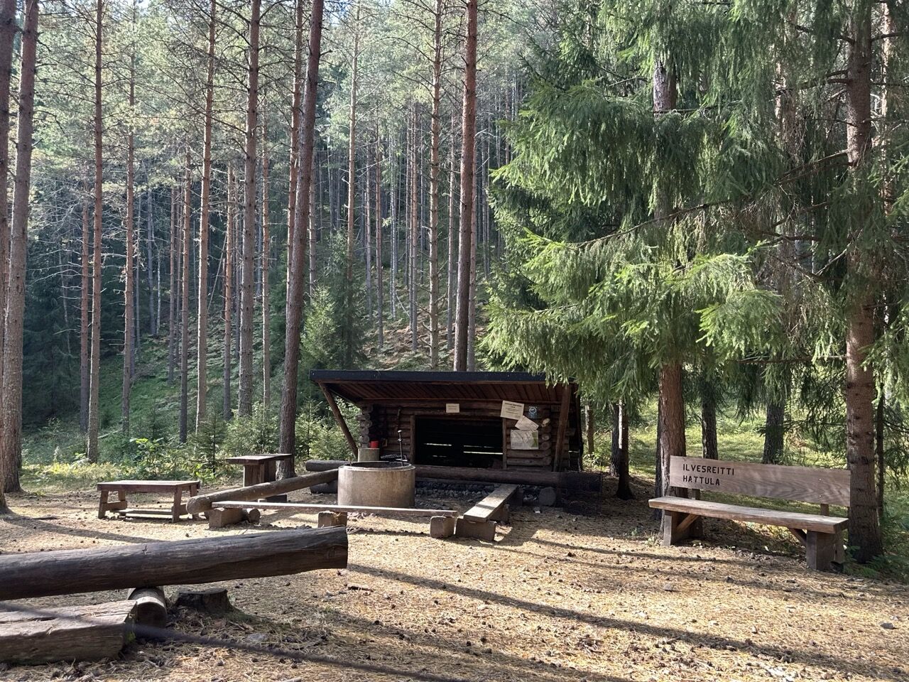
A narrow path turns into the forest at the route's starting sign. You walk 450 meters on the forest path until you reach a fork in the paths. The path remains narrow but widens as you walk towards the lean-to shelter. From the lean-to, the route can be followed in either direction.
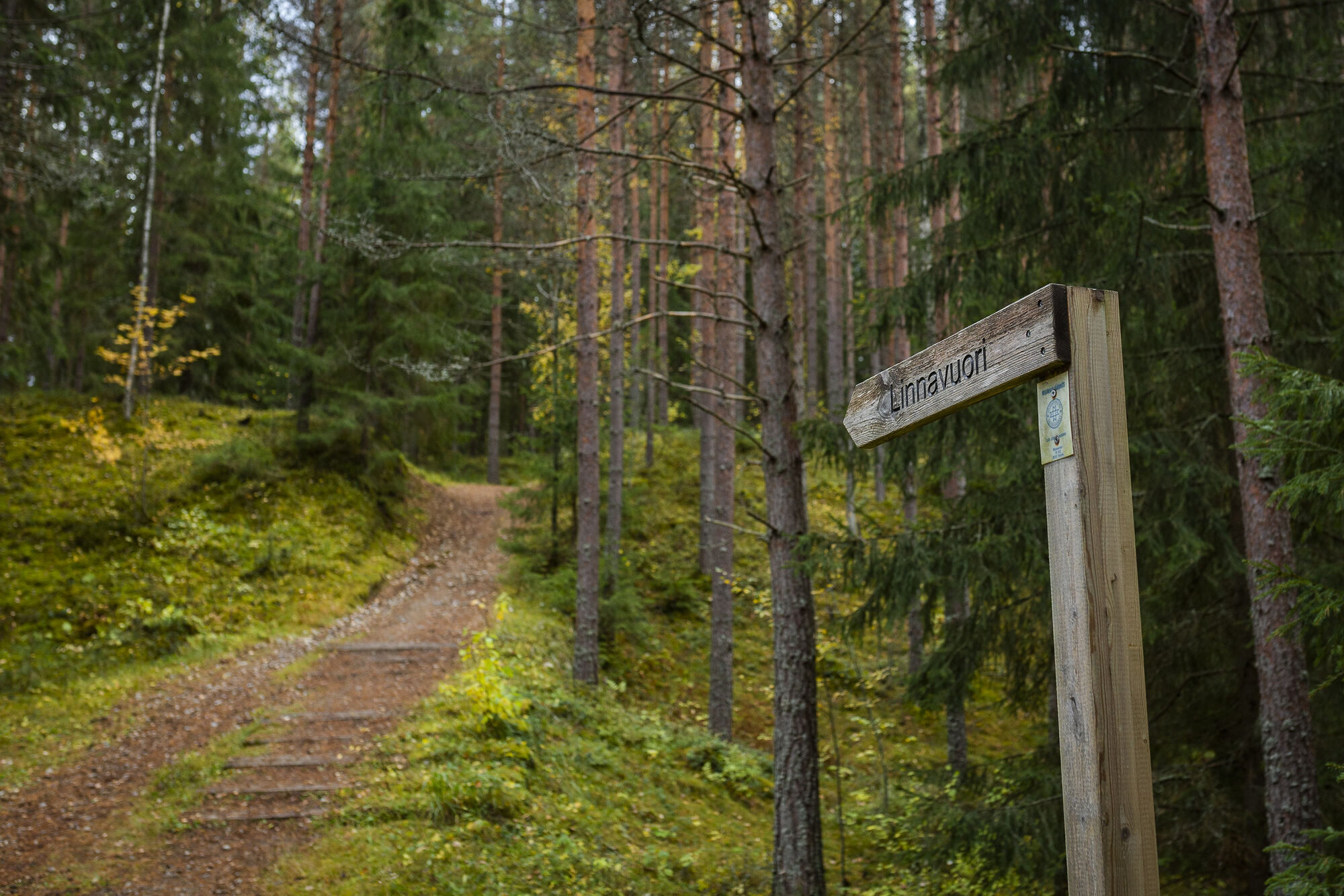
From in front of the lean-to, continue according to the route direction up a steep hill, with a gradient varying between 14% and 34%. Initially, the path is wide and occasionally rocky, after which fitness stairs make the climb easier. There are two benches on the way for resting, which are worth using. One bench is after the first steep section, and the other is halfway up the stairs.
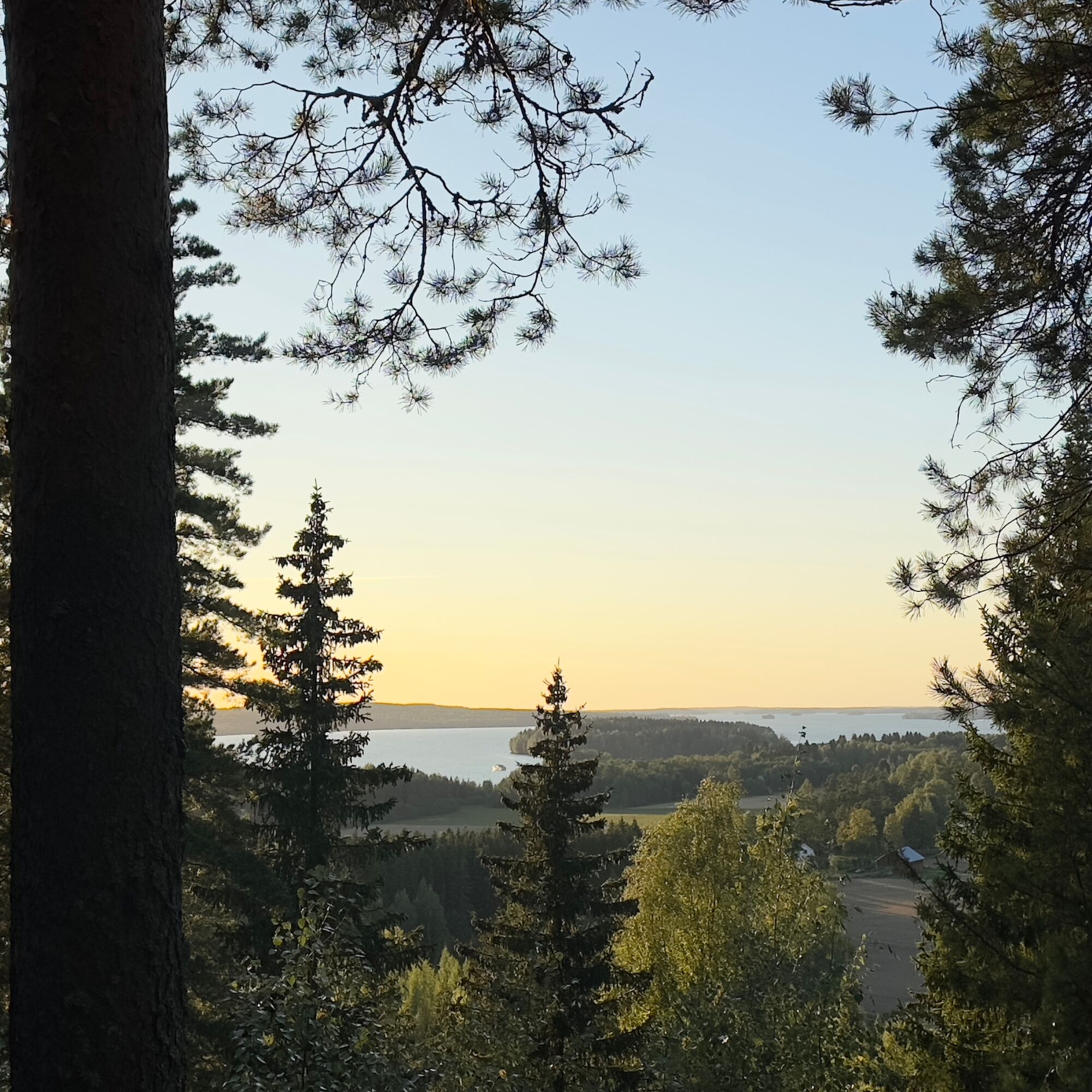
On top of the historic Tenhola castle hill, you can admire the scenery in good weather all the way to Pirkanmaa.
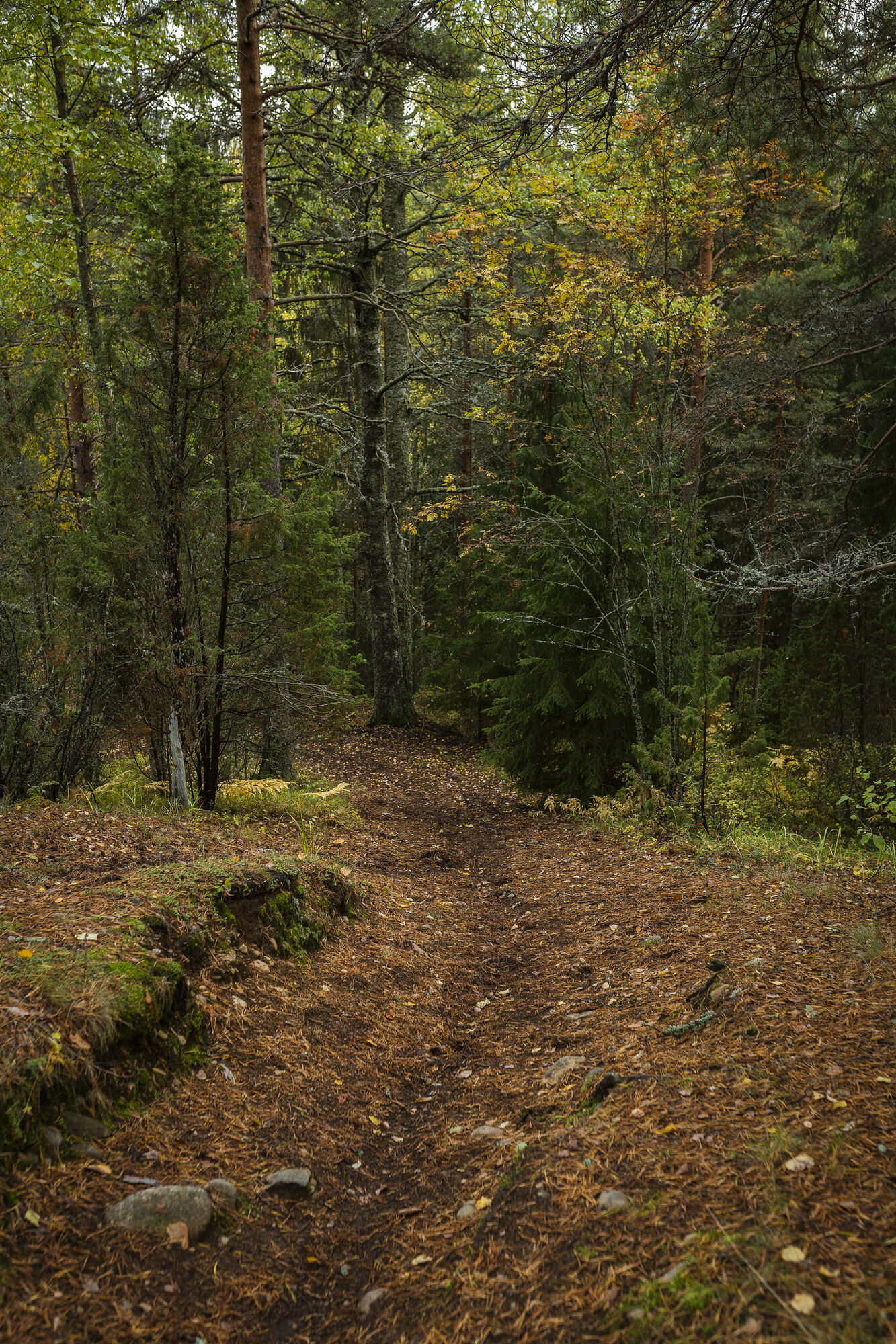
The route continues through the top of the castle hill and proceeds into the forest where there is a downhill slope. The maximum gradient of the hill is 19%. The trail is occasionally rocky and has roots, which can be slippery in wet weather, spring, or autumn. For example, those carrying backpacks should be careful with their steps.
From dense coniferous forest, you reach a slightly more open mixed forest area where paths intersect. The route continues to the right (northeast) along a ski track first gently uphill and then gently downhill. This section of the route uses a multipurpose trail for 400 meters, so walkers should keep to the right side of the path. The faster party must give way, but both parties should be considerate of each other.
You can take a break at the lean-to at the foot of Tenhola castle hill, for example, enjoying some snacks. There is also a toilet near the lean-to.
From the lean-to, return back along the same path to the route's starting point (600 m).
Da
Da
When walking on trails, it is good to wear shoes that fit well and have non-slip soles.
The hill going directly from the lean-to to Tenhola castle hill is steep. Its gradient varies between 14% and 34%. The path is initially wide and occasionally rocky, after which the climb is eased by fitness stairs.
Descending east from the hill, the gradient is a maximum of 19%. The path has rocky and root-covered sections that can be slippery in wet, spring, or autumn weather. Those carrying backpacks should be particularly cautious with their steps.
The route follows a multipurpose trail for 400 meters, so walkers should keep to the right side of the path. The faster party must yield, but both parties should be considerate of each other.
From the center of Parola, drive 6.8 km along Merventie until you reach a Y-intersection (Suontaantie and Tenholantie). Turn sharply left at the intersection. The parking area is immediately to the left of the intersection.
The parking area is located at the intersection of Merventie, Suontaantie, and Tenholantie roads.
Coordinates: 61° 05.835 N, 24° 18.101 E
At the intersection is a black signpost to Tenhola castle hill. The parking area is immediately to the left of the sign.
T1
There are no trash bins on the route, at its resting place, or at the parking area. Opt for litter-free hiking – prepare for your hike by bringing your own trash bag and carry the waste to your home trash bin.
Note that the nature of the ancient castle hill of Tenhola is sensitive to changes. Do not cycle to the castle hill.
Read about Hiking Etiquette before heading out on the hike.
Priljubljeni izleti v okolici
-
Winter biking route, Hattula
srednjaMountainbike 13.6 km -
Lake Aulanko trail 6 km
srednjaTematska pot 5.93 km -
Hämeen Ilvesreitti Hattula 37.7 km
srednjaMountainbike 37.7 km -
Hämeenlinna, Aulanko trail, intermediate
Pohodništvo 5.94 km -
Aulanko mountain bike route
srednjaMountainbike 13.8 km -
Hiking and trekking route Hämeen Ilvesreitti Hattula
težkoPohodništvo 34.7 km -
Vanamaja outdoor route, Hattula
svetlobaPohodništvo 26.8 km -
Jaakon rantapolku vaativa esteetön reitti
svetlobaTematska pot 0.68 km -
Vanajavesi water nature trail
svetlobaKajak / Kanu 34.5 km -
Lammassaaren virkistysalue
Pohodništvo 0.61 km
Pohodništvo in sledenje


Ne zamudite ponudb in navdiha za naslednje počitnice
Vaš e-poštni naslov je bil dodan na poštni seznam.


