





Lentua lake paddling route, 19.5 km, Kuhmo

Stopnja težavnosti: 2
The Lentua area offers excellent opportunities for both shorter and longer trips on water, and the paddling route through the Lentua nature reserve is an excellent destination for a day paddling trip....
The Lentua area offers excellent opportunities for both shorter and longer trips on water, and the paddling route through the Lentua nature reserve is an excellent destination for a day paddling trip. Lentua has become familiar from Akseli Gallen-Kallela's Kalevala illustrations as well as from the blue thoughts of Konsta Pylkkänen, the thinker from Havukka-aho created by Veikko Huovinen. The lake attracts those traveling with its large open waters and sheltered maze of islands. The shores are natural shores that are easy to land on by canoe or kayak, and there are several fire pits and wilderness huts along the route. Especially the Lehtosaari wilderness hut halfway on the route, originally built as a fishing hut and with a lakeside sauna, is recommended to include as part of the trip. Lentua Lake is part of the main route of the Tervareitti paddling route between Änättijärvi - Kajaani, and the Kalliojoki paddling route ends at Lentua.

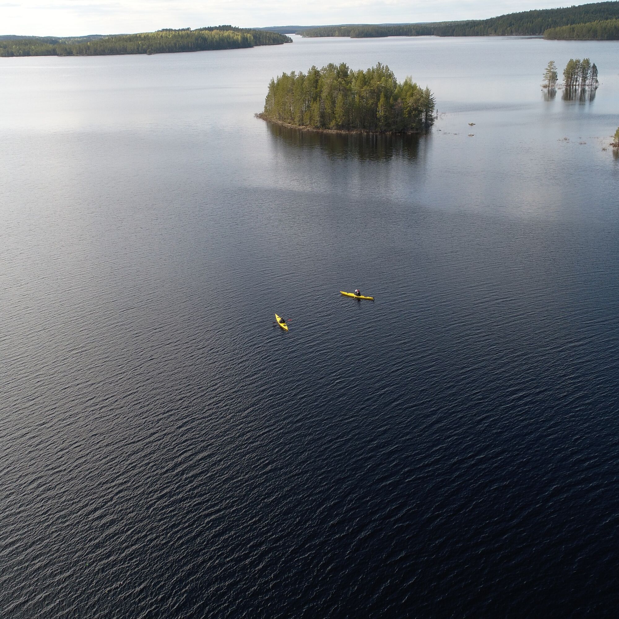
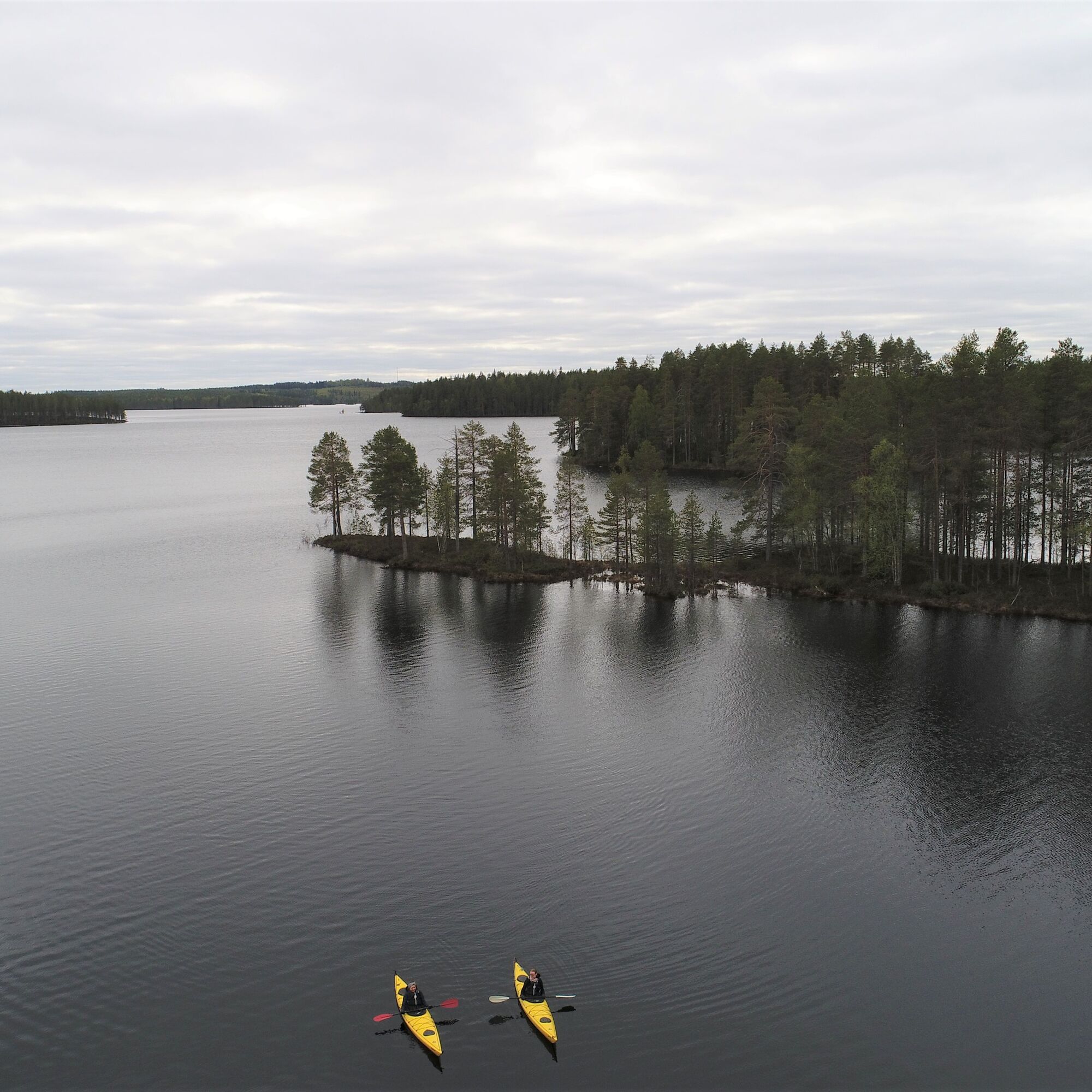
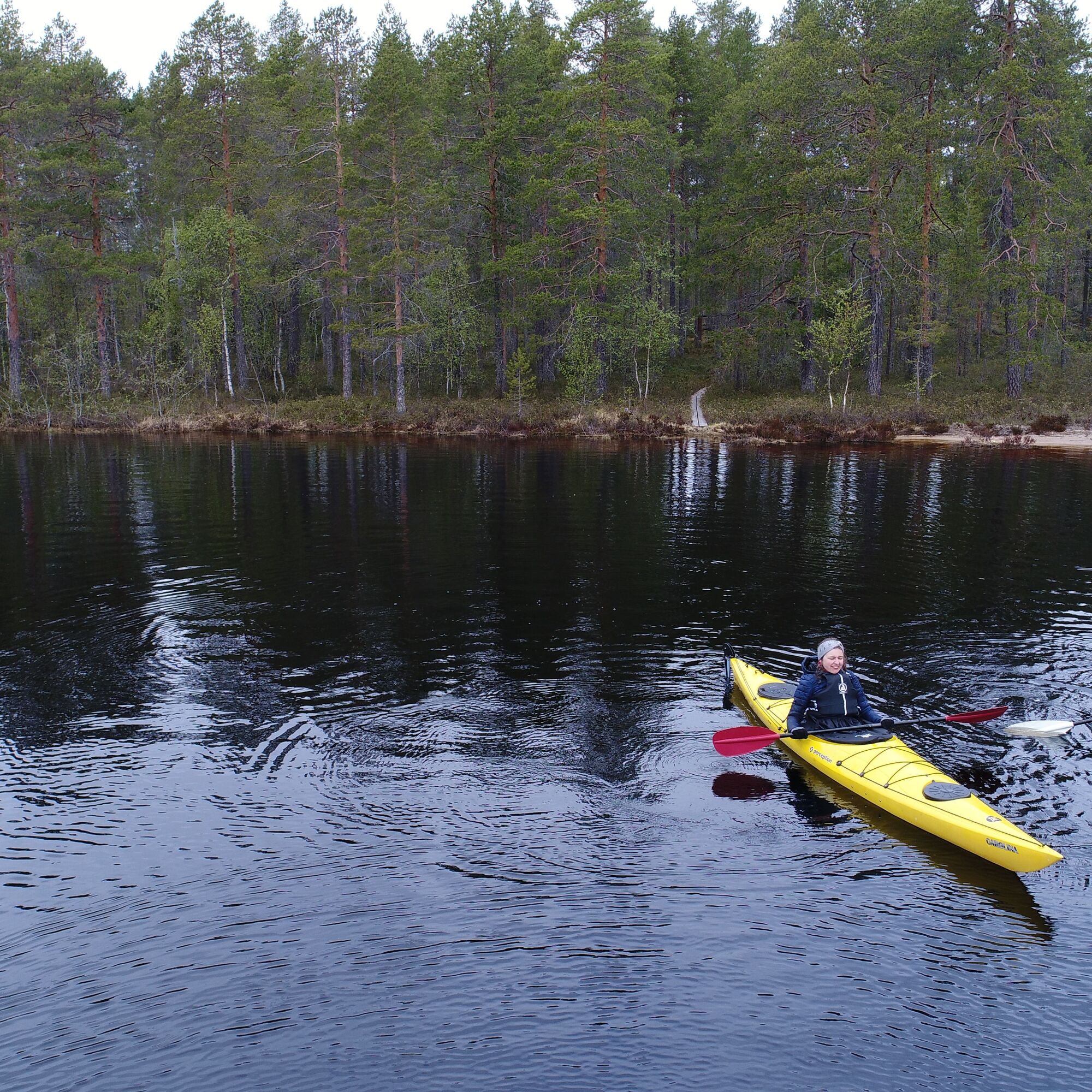
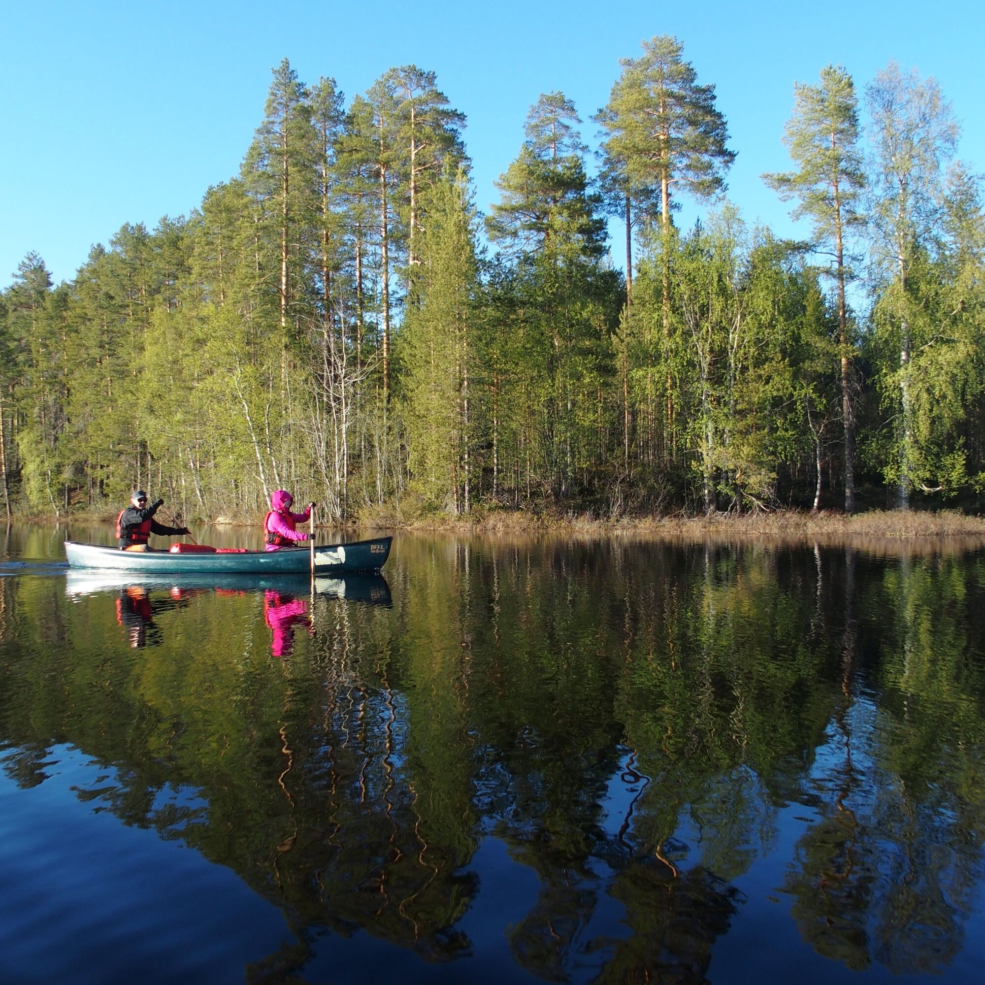
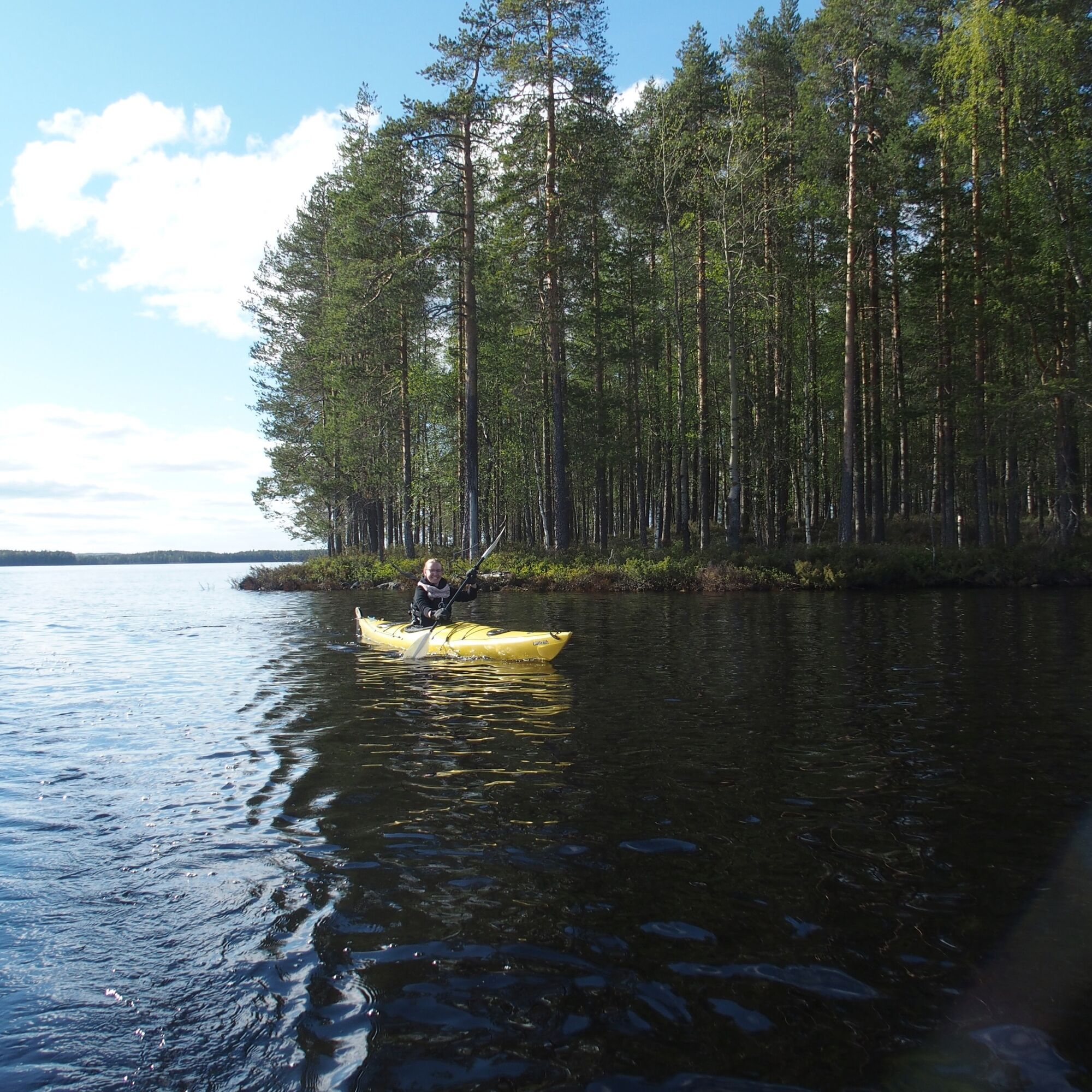
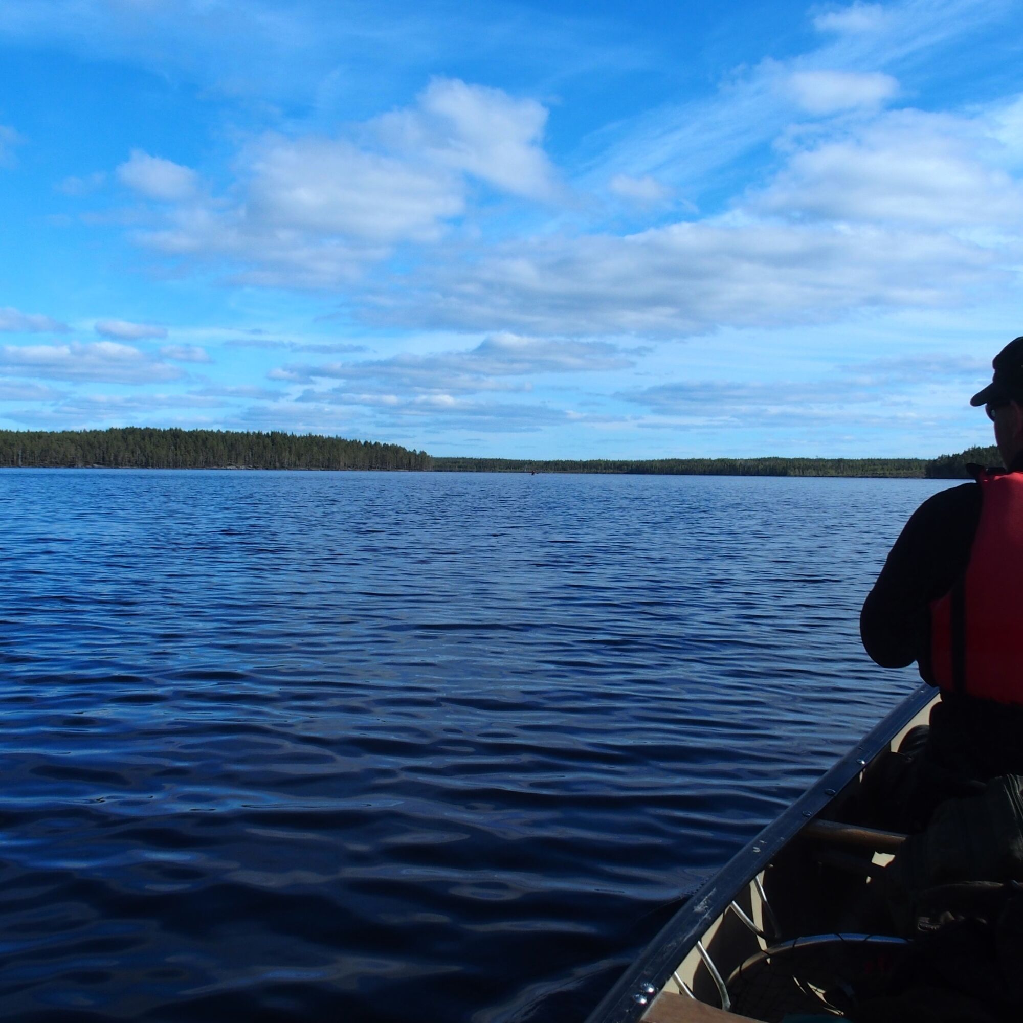
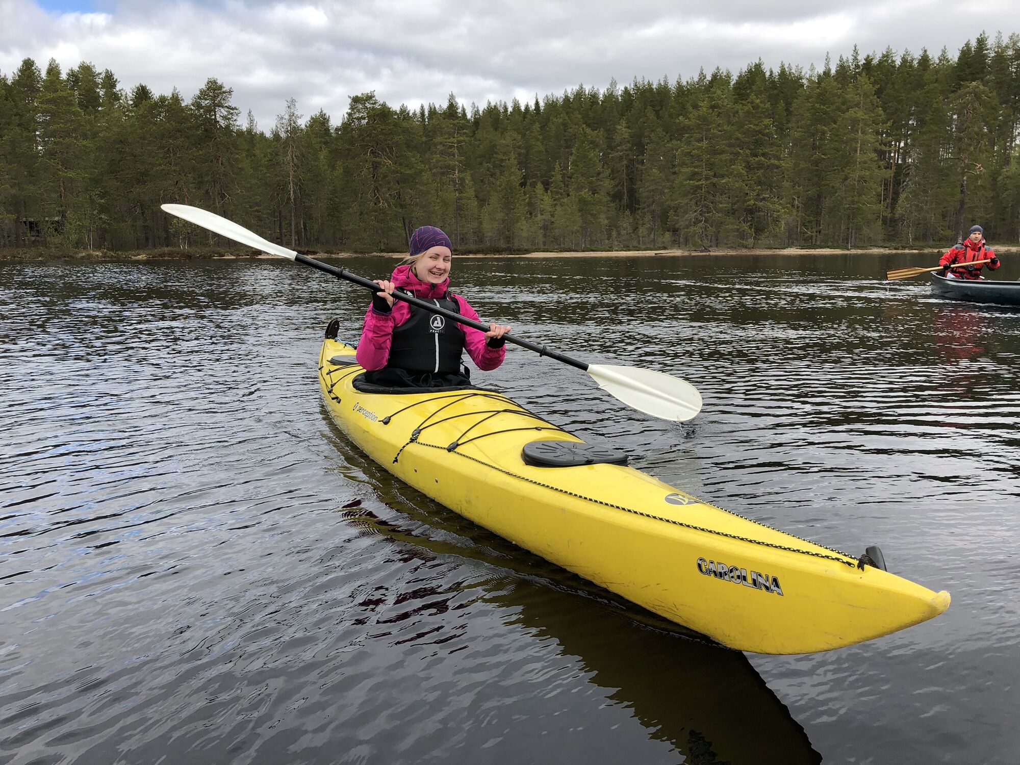
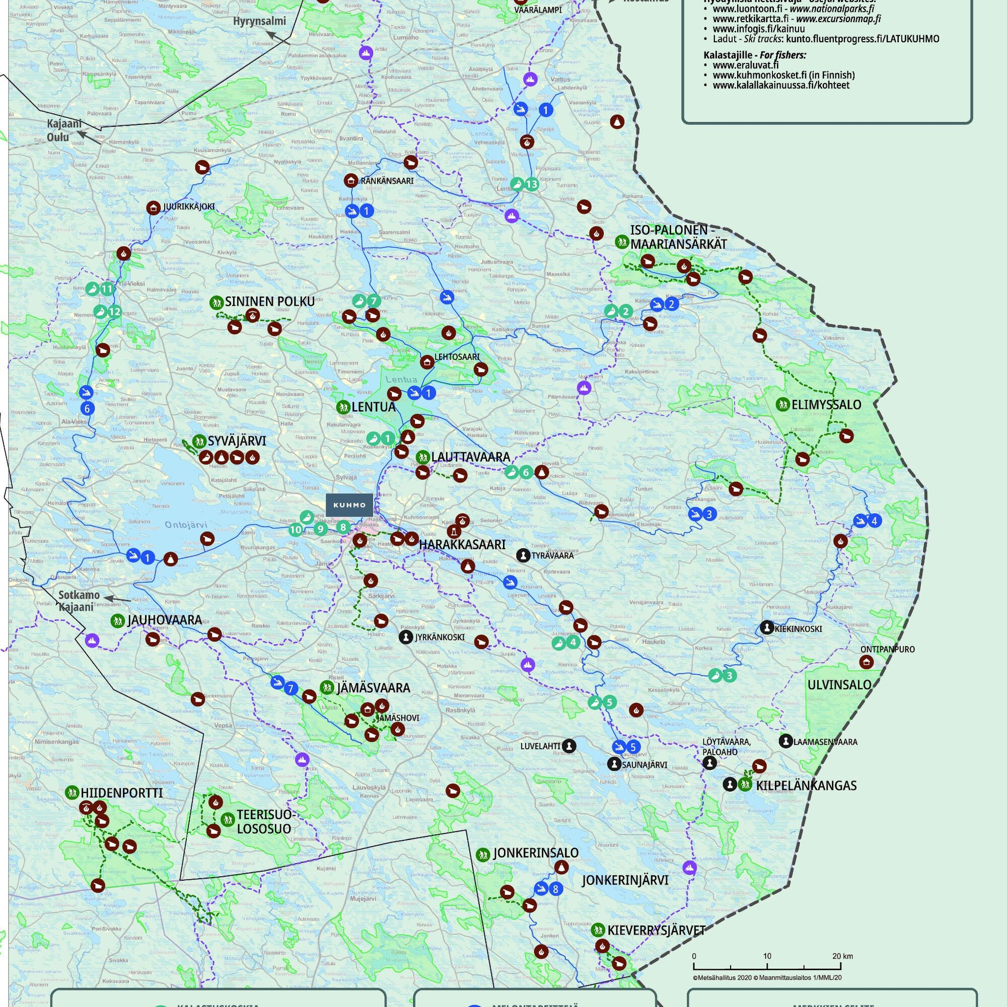

The starting put-in place for the route is located along the Kuhmo-Vartius road by the Isojoki bridge. The exact address is Lentiirantie 2172, 88900 Kuhmo. You can back down the ramp all the way to the shore, and the car can be left at the parking spot next to the put-in place. The paddling route heads west under the bridge and follows the Isojoki River to Lentua. Upon reaching Lentua and paddling counterclockwise, the route follows the shore of Syvänniemi northwest towards Multisaari. Continue along the side of Multisaari towards Kotasaari, where the route turns back west. About 4.5 kilometers of paddling have been completed in Kotasaari, and the lean-to in the bay offers a good spot for a break. At the end of Kotasaari, there is a narrow channel, Vetokankangas, which can be paddled through. After Kotasaari, the route opens up on the Lentua open water and continues west towards Lehtosaari and the Lehtosaari wilderness hut, where you can also spend the night. The approximately 1.5-kilometer-long Järvi open water can be windy; if needed, use the wind shelter offered by Tynisaari or Varissalo. The main attraction of the former fishing hut converted into the Lehtosaari wilderness hut is the traditional lakeside sauna. In strong winds from the south or southwest, the route can be taken back along the inbound route. After Lehtosaari, weather permitting, the route heads south and then turns east after Varisniemi, following the shores of Varissalo Island. After about 6 kilometers of paddling, there is a good place to take a break at the Honkisaari wilderness hut. The final leg of the route continues east either on the south or north side of Varpusaari back toward the mouth of Isojoki and the starting point.
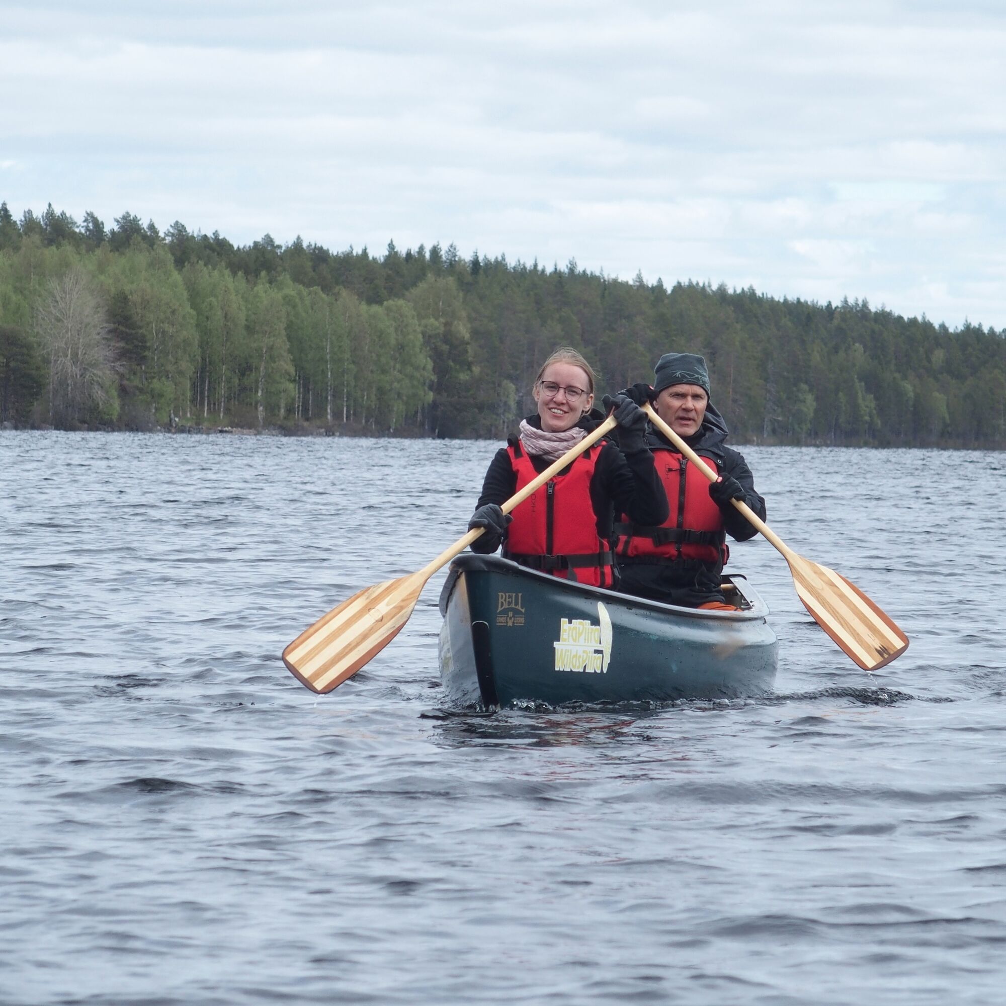
Canoe and kayak rentals, transport, and guided trips by the activity service company Eräpiira.
Plan the paddling route according to your own skills. On lake sections, it is advisable to paddle near the shore and scout rapids from the shore in advance.
Secure all gear well to the canoe, preferably in a dry bag or container.
Pack waterproof first aid supplies, change of clothes, matches, and a phone with you.
Check the regional weather forecast and active warnings for land and sea areas.
If you get into an emergency on your trip, call 112 and make an emergency notification.
Approaching from the south from Kuhmo, the Isojoki parking place is 22 kilometers north along the Kuhmo-Vartius road (912) toward Kuhmo center.
Approaching from the north from Lentiira, the Isojoki parking place is 19 kilometers south along the Kuhmo-Vartius road (912) from Lentiira.
When using a navigator, enter the address Lentiirantie 2172, 88900 Kuhmo.
The route is poorly accessible by public transport.
The starting put-in place is located along the Kuhmo-Vartius road by the Isojoki bridge.
Exact address Lentiirantie 2172, 88900 Kuhmo.
You can leave the car at the parking place next to the put-in.
2
The Kalliojoki paddling route coming from the east ends at Lentua, so you can easily combine these two routes or continue paddling all the way to Kuhmo either as the so-called Sotkamo route or the Tervareitti.
In Lentua, in addition to paddling, it is also worth trying other activities such as fishing and swimming from beautiful sandy and rocky beaches.
Priljubljeni izleti v okolici
-
Kainuu Tar route / Stage 1: Änätti - Kuhmo town centre 70 km
težkoKajak / Kanu 70.5 km -
Lentua - Juttua - Iivantiira wilderness paddling trip 50 km, Kuhmo
srednjaKajak / Kanu 50.2 km -
Paddling from Maakunnanranta to Lentuankoski 8/16 km, Kuhmo
srednjaKajak / Kanu 7.54 km -
Lentuankoski trail 0.8 km, accessible, Kuhmo
svetlobaTematska pot 0.77 km -
Lauttavaara nature trail 2.5 km, Lentua
svetlobaTematska pot 2.27 km -
Leskensaaren kierros paddling route 5 km, Kuhmo
svetlobaKajak / Kanu 5.04 km -
Petola nature trail 0,5 km, Kuhmo
svetlobaPohodništvo 0.39 km -
Lieksa
Motorno kolo 362.1 km

Pohodništvo in sledenje


Ne zamudite ponudb in navdiha za naslednje počitnice
Vaš e-poštni naslov je bil dodan na poštni seznam.





