


Paulsberg trail
Stopnja težavnosti: 2

Starting from the car park on the Simonhöhe, the winter hiking trail leads around the Paulsberg to the chapel Hoch St. Paul and back over the St. Pauler Straße to the starting point. The Paulsberg trail...
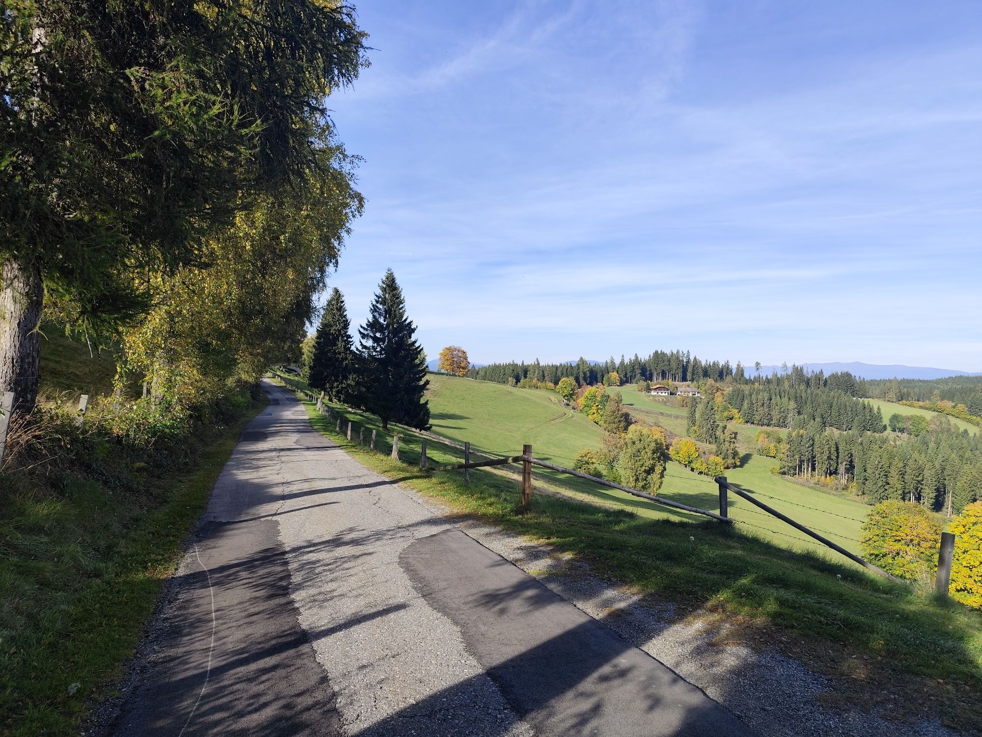
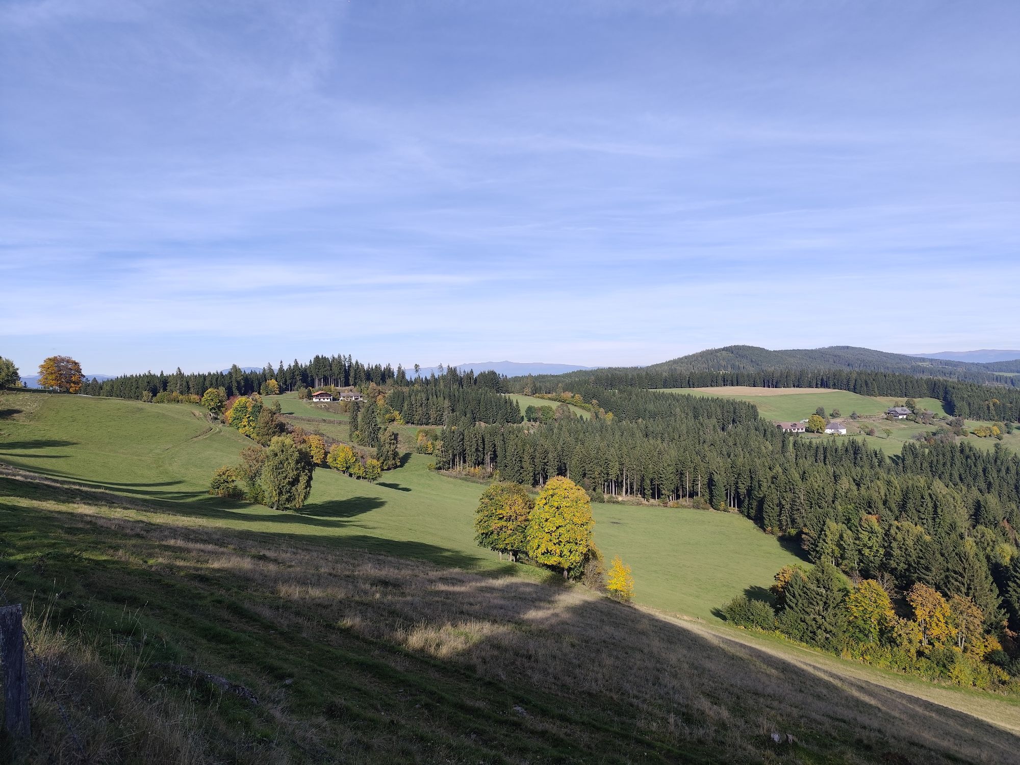
Starting from the car park on the Simonhöhe, the winter hiking trail leads around the Paulsberg to the chapel Hoch St. Paul and back over the St. Pauler Straße to the starting point. The Paulsberg trail on the Simonhöhe is a scenic hike that combines nature enjoyment and beautiful views. The Paulsberg trail on the Simonhöhe offers a pleasant hike for families and nature lovers who want to discover the beauty of the Carinthian mountains. Diverse landscapes from forests to alpine meadows to panoramic views. The Paulsberg offers a fantastic view of the surrounding mountains. Easy to walk path, also well suited for children. The return path follows the same route back to the starting point on the Simonhöhe. The descent is pleasant and offers beautiful views and opportunities to enjoy nature again.

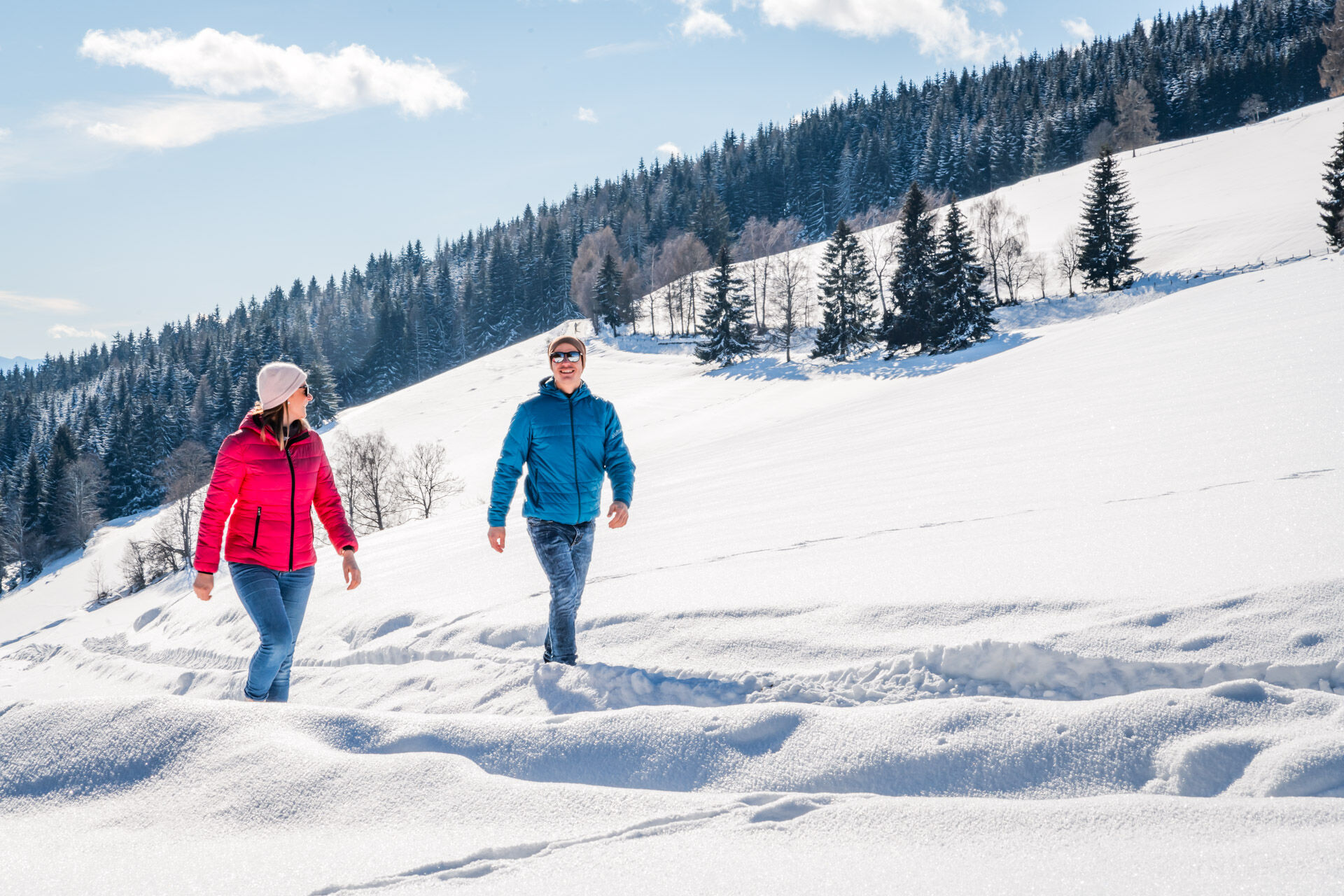
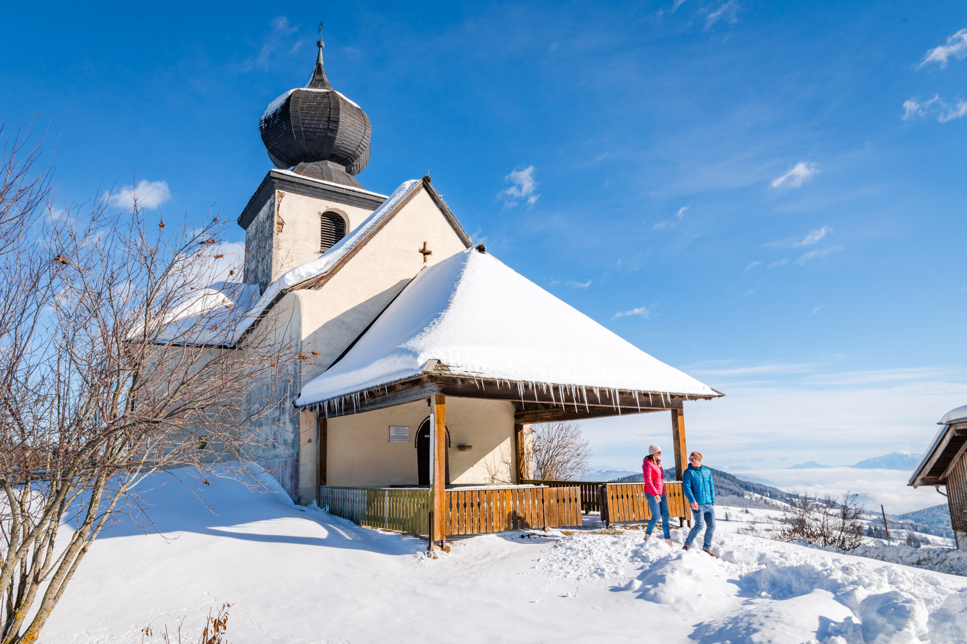
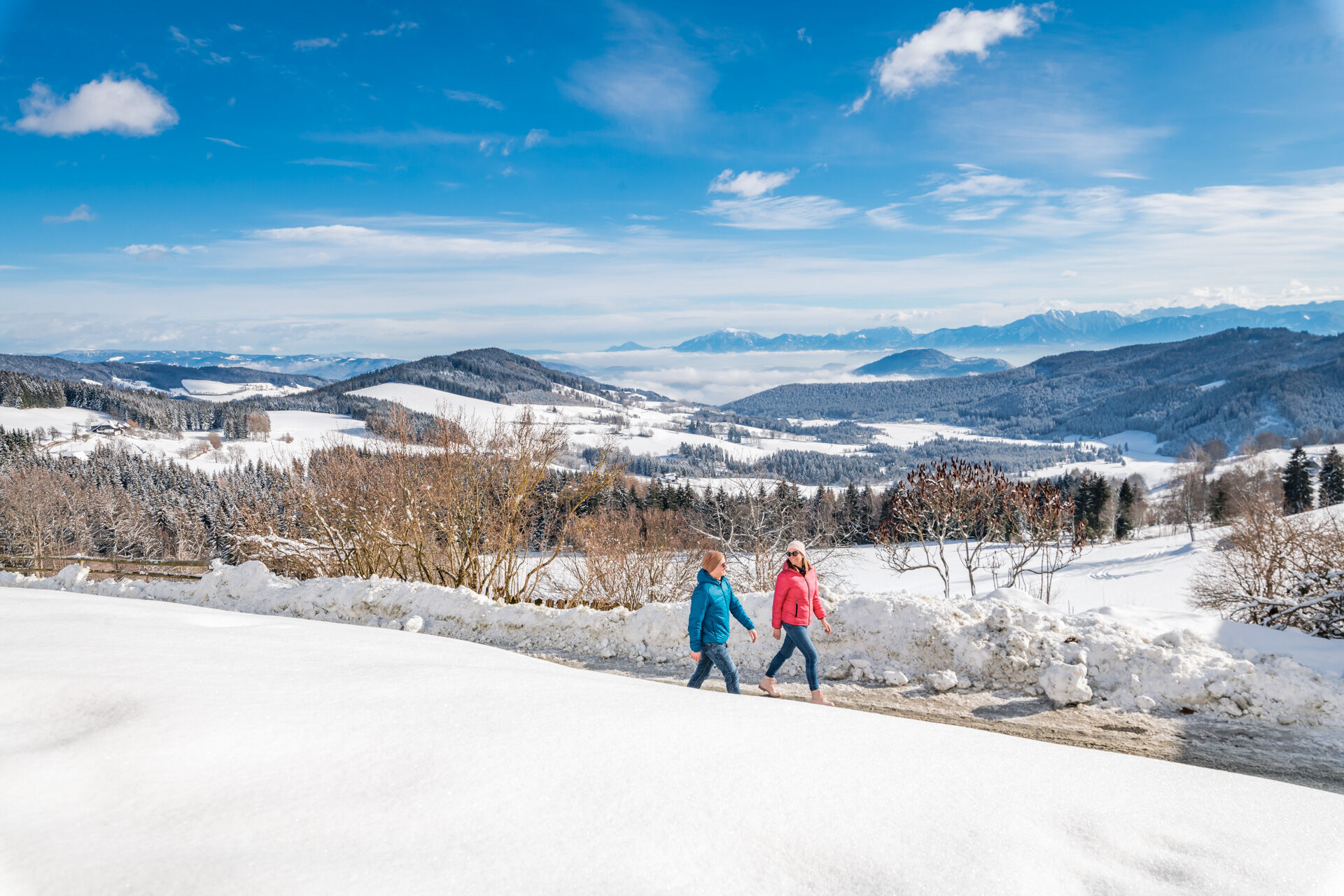
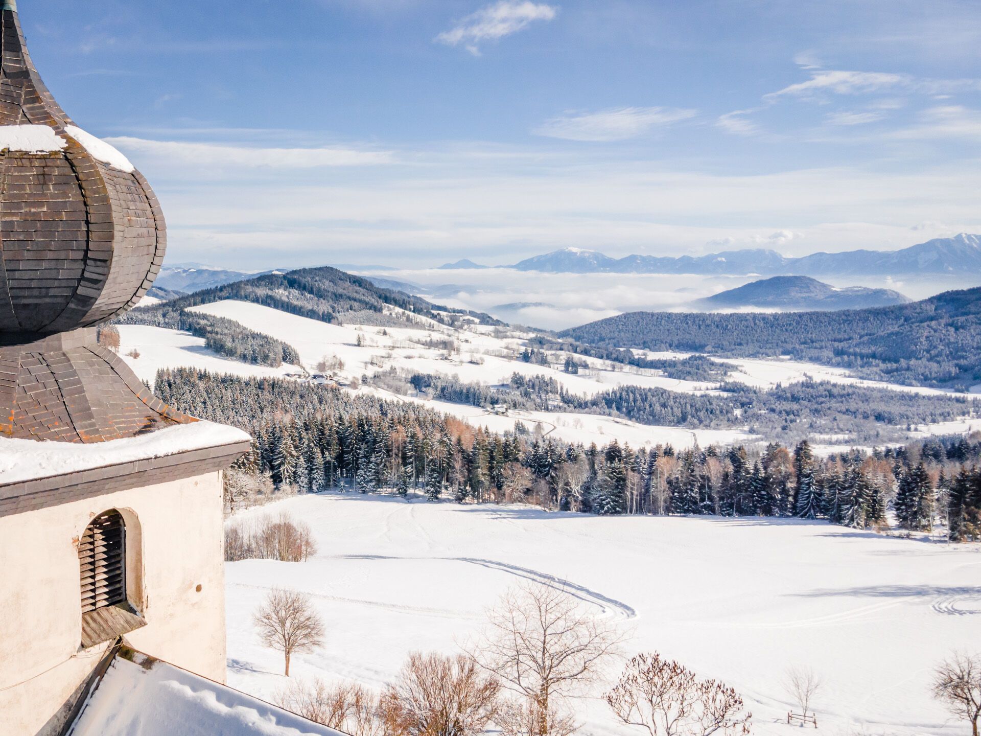
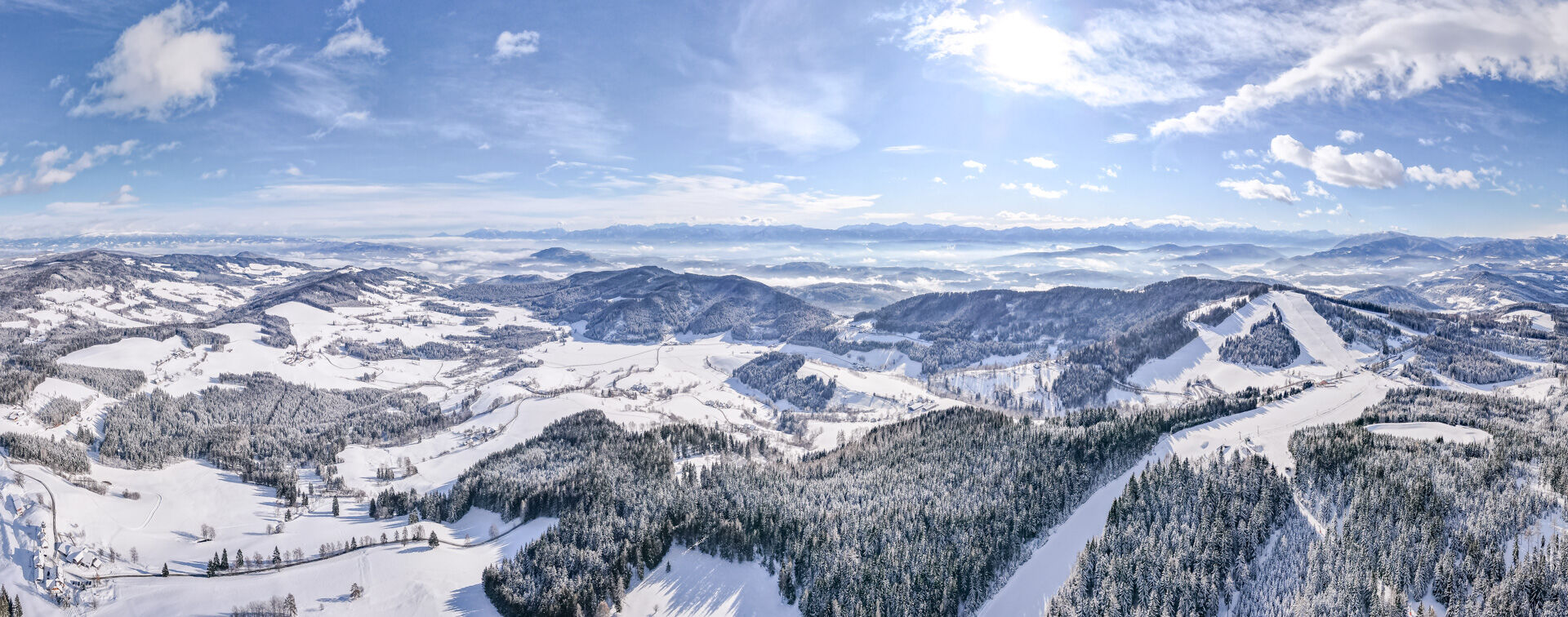
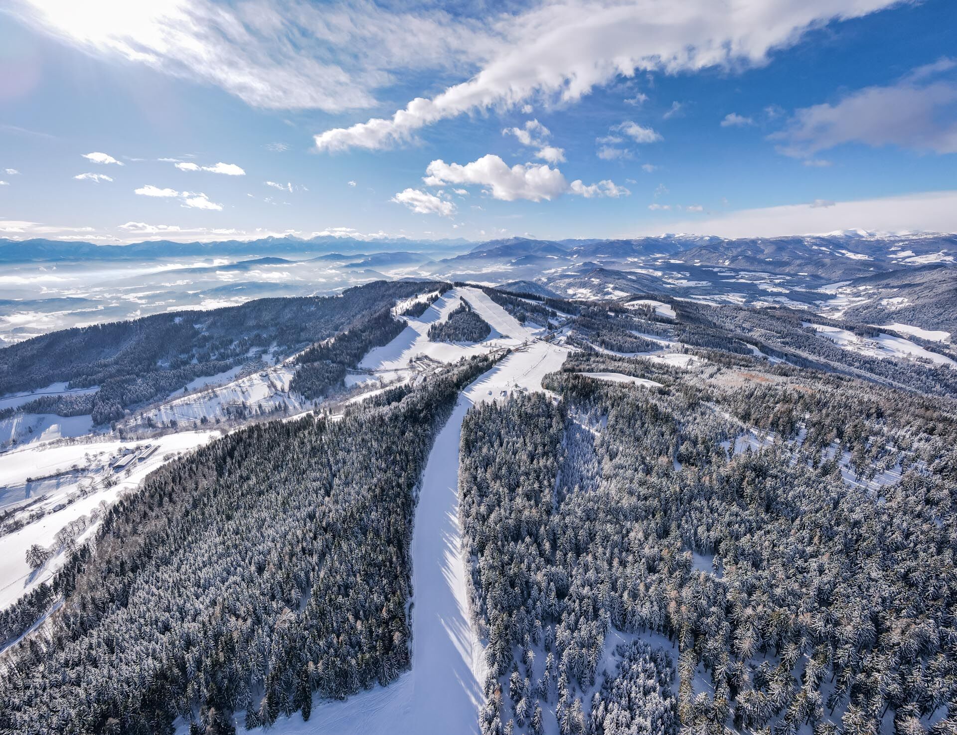
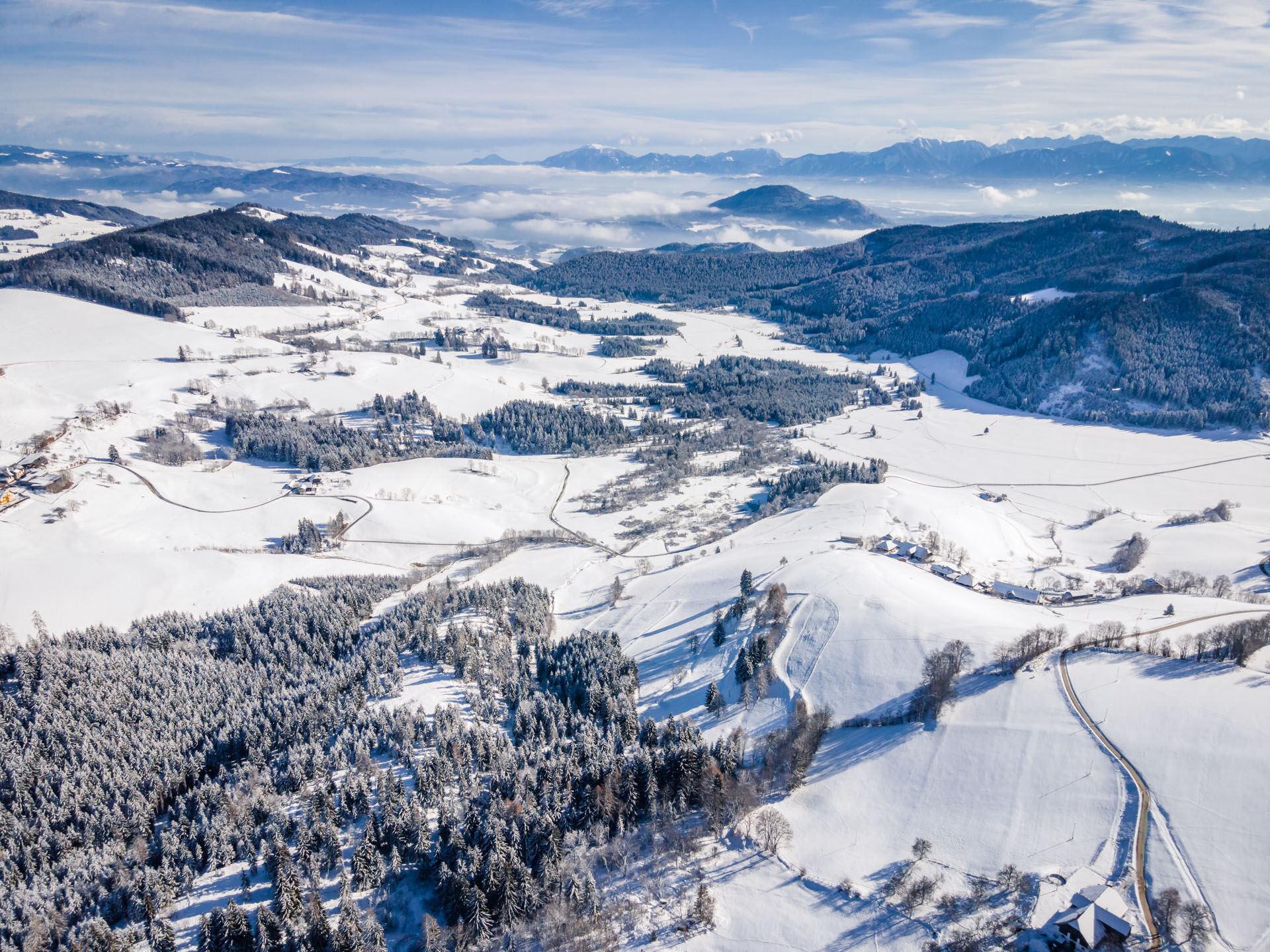
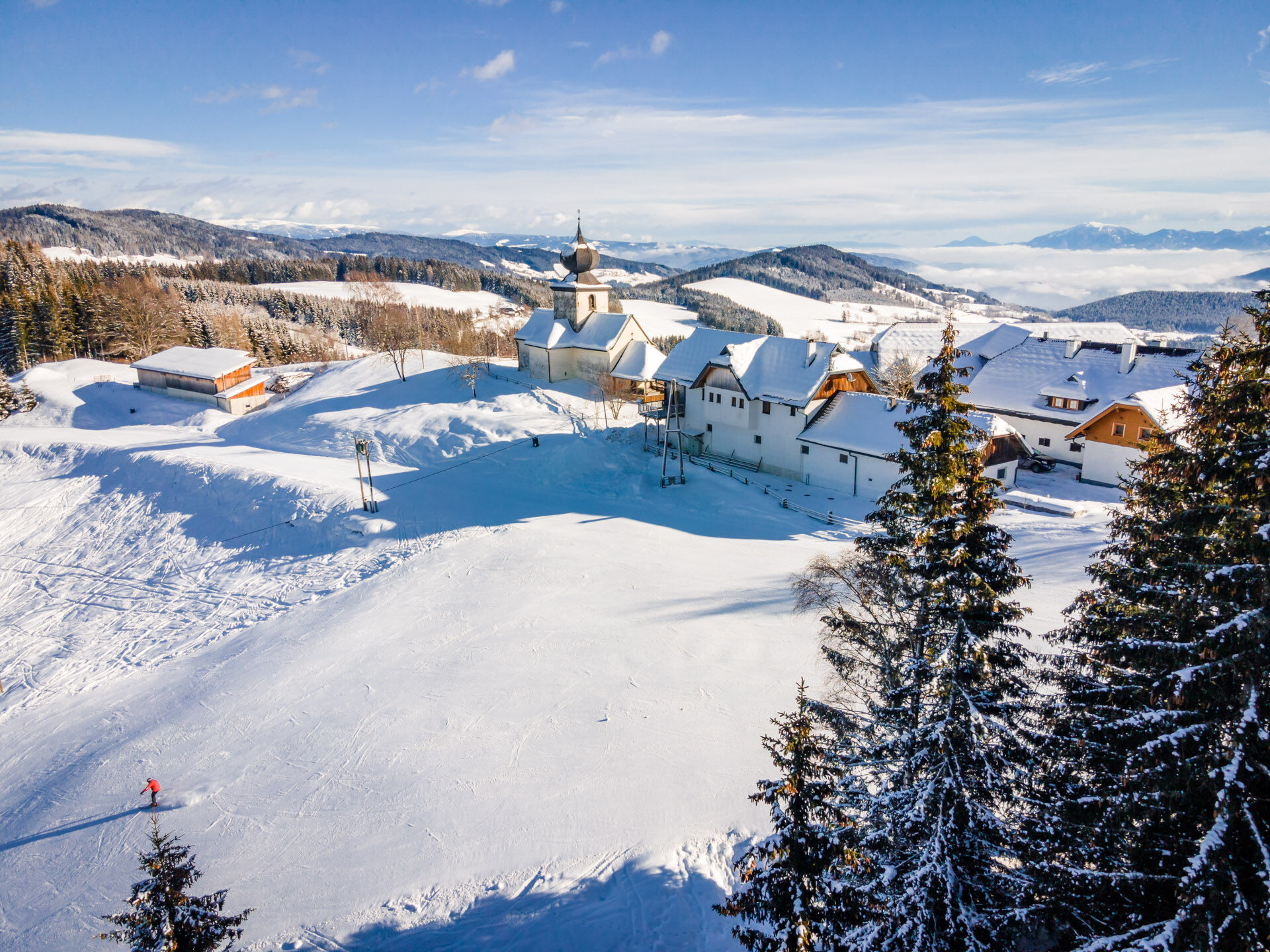
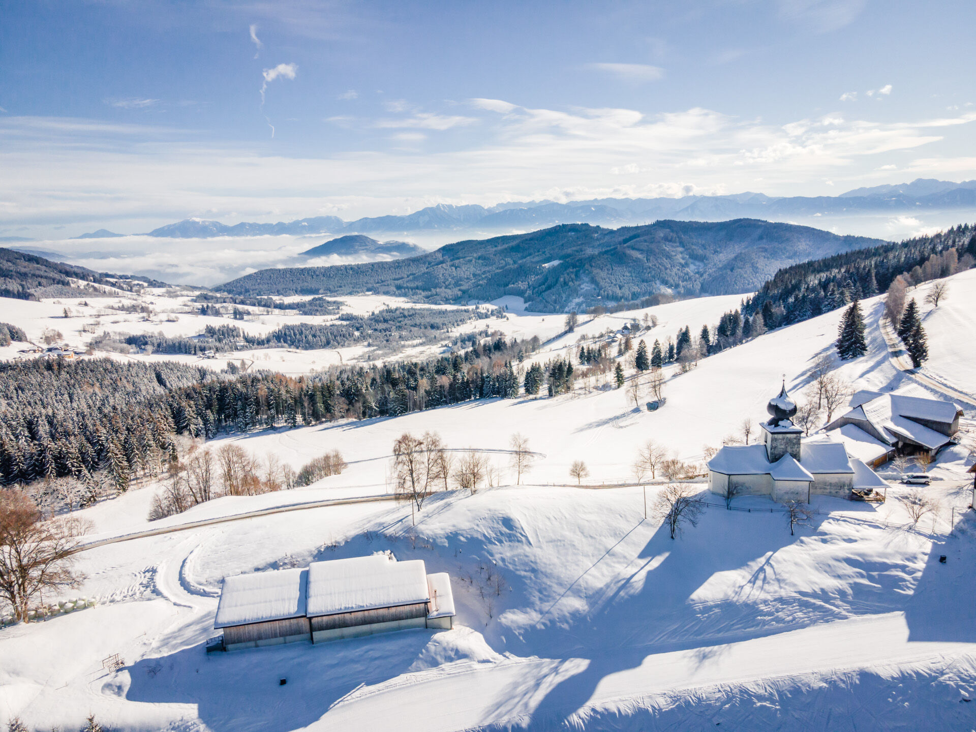
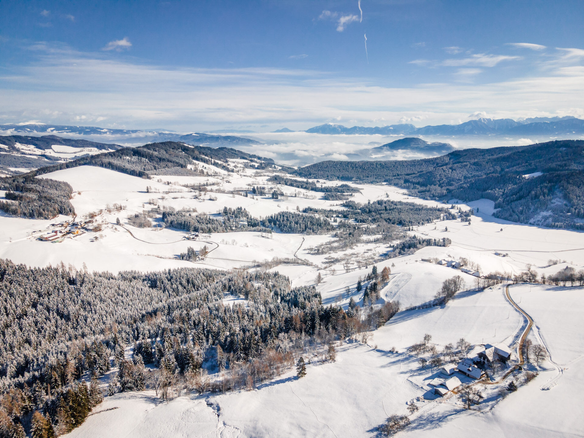

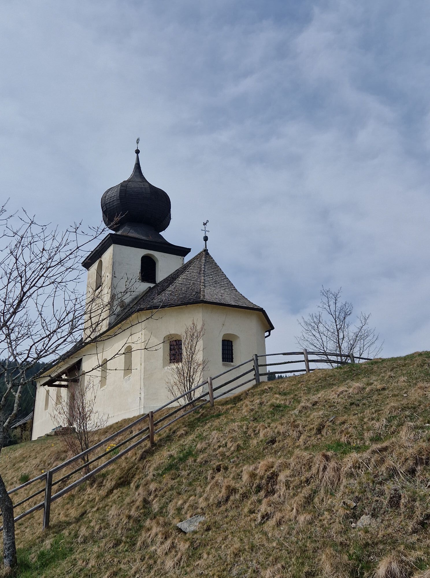
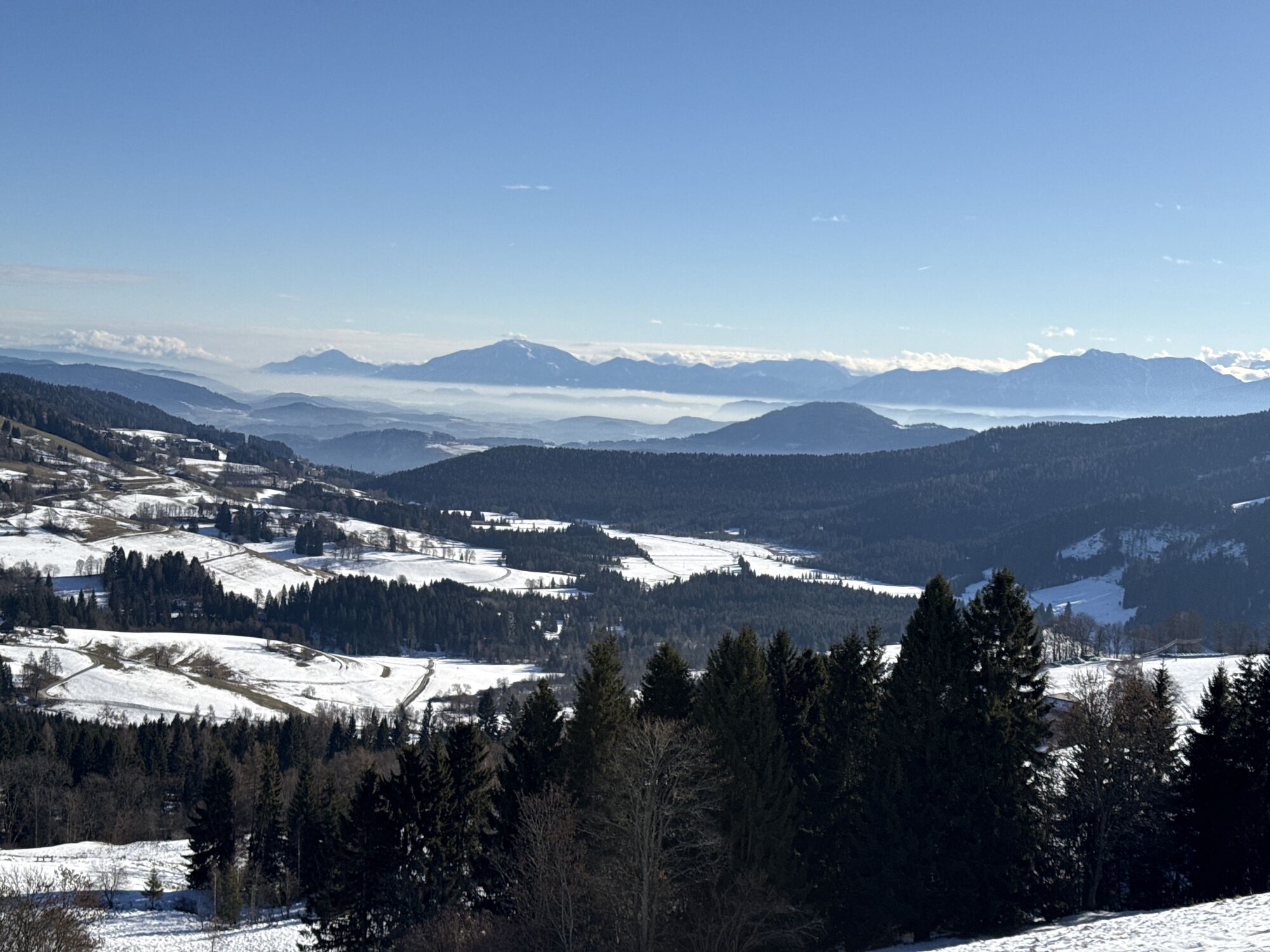
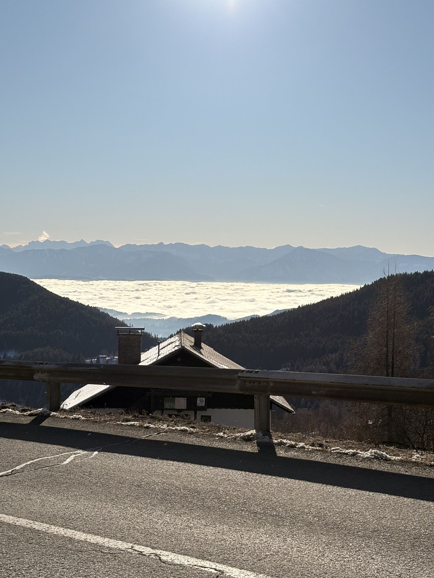
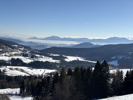
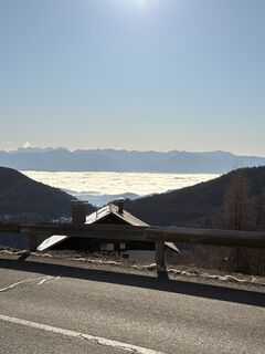
We start the winter hike at the car park on the Simonhöhe and head north. After passing under the Muldenlift, we walk along the northern flank of the Paulsberg until we pass under the North lift. Soon after, we reach the small chapel Hoch St. Paul at 1194 meters and can take a short break here. We let our gaze wander across the plateau of the Dobra moor to the Karawanks before continuing the path. Further on, we go via the St. Pauler Straße on the southern slope of the Paulsberg back to Simonhöhe.
A final stop at the inn is recommended!
Da
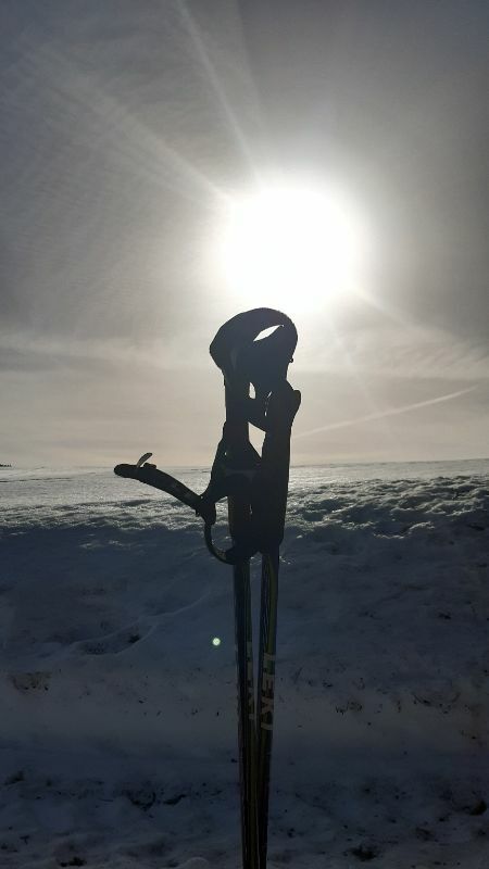
Good winter hiking equipment, hiking poles, drinking supply.
Good winter hiking equipment, hiking poles, drinking supply.
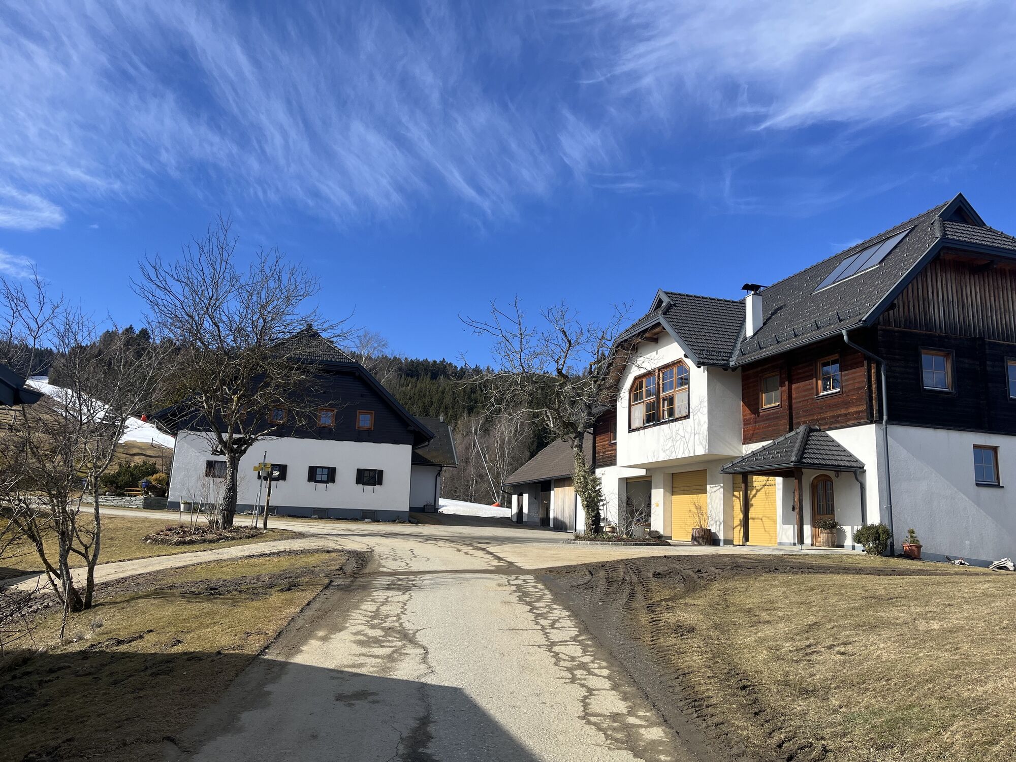
Turn off the B94 onto the Glantalstraße to St. Urban, continue via the Simonhöhstraße to the car park
ÖBB timetable information:
www.oebb.at/en/timetable/timetable-information
Car park on the Simonhöhe
2
Find more routes here:
https://regio.outdooractive.com/oar-mittelkaernten/en/
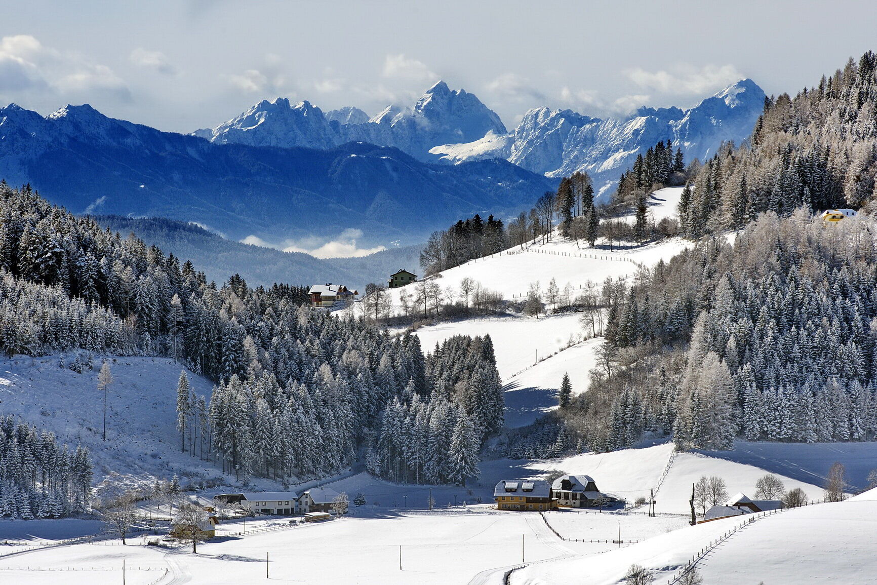
Enjoy a short break at the chapel Hoch St. Paul with a wonderful view into the Glantal valley to the Karawanks!
Spletne kamere s turneje


Priljubljeni izleti v okolici
- 4.7
Abenteuer-Wasser-Weg
srednjaPohodništvo 9.13 km - 4.4
Ulrichsberg
svetlobaPohodništvo 5.60 km - 4.8
Vierbergelauf
srednjaRomarska pot 47.6 km - 4.6
Hoher Gallin route
srednjaPohodništvo 7.09 km - 3.8
Schloss Frauenstein - Kraiger lake circular route
svetlobaPohodništvo 6.96 km - 4.3
Ulrichsberg
svetlobaPohodništvo 4.77 km - 4.7
Kaiser Arnulf route
srednjaPohodništvo 10.6 km - 3.8
Natural spectacle Tiebel springs - Himmelberg
Pohodništvo 9.84 km - 4.3
Bannwaldweg
svetlobaPohodništvo 5.72 km - 4.7
Himmelberg - Tiebel
srednjaKolesarjenje 40.5 km
Pohodništvo in sledenje


Ne zamudite ponudb in navdiha za naslednje počitnice
Vaš e-poštni naslov je bil dodan na poštni seznam.