






View Taggenbrunn (9)
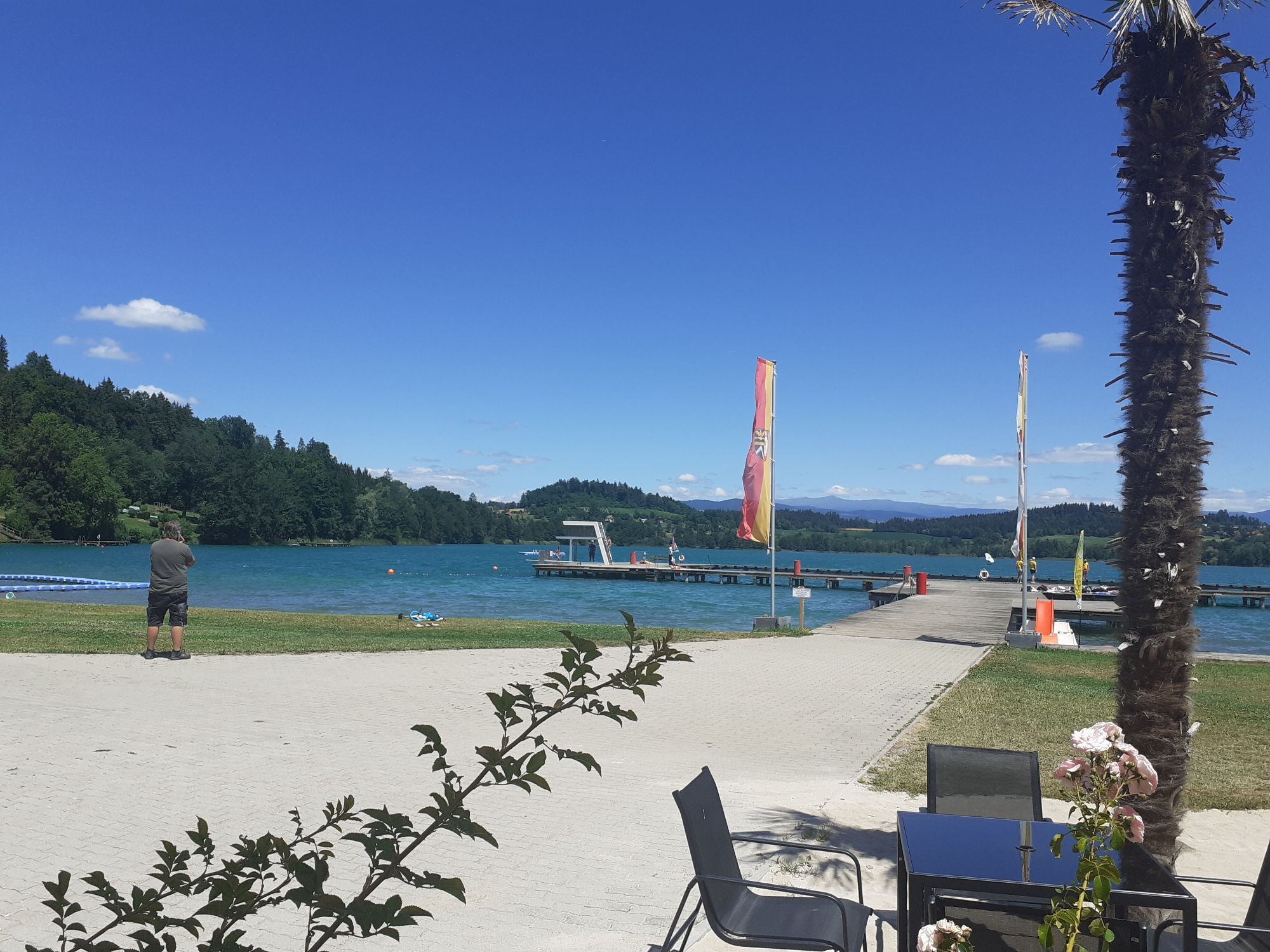
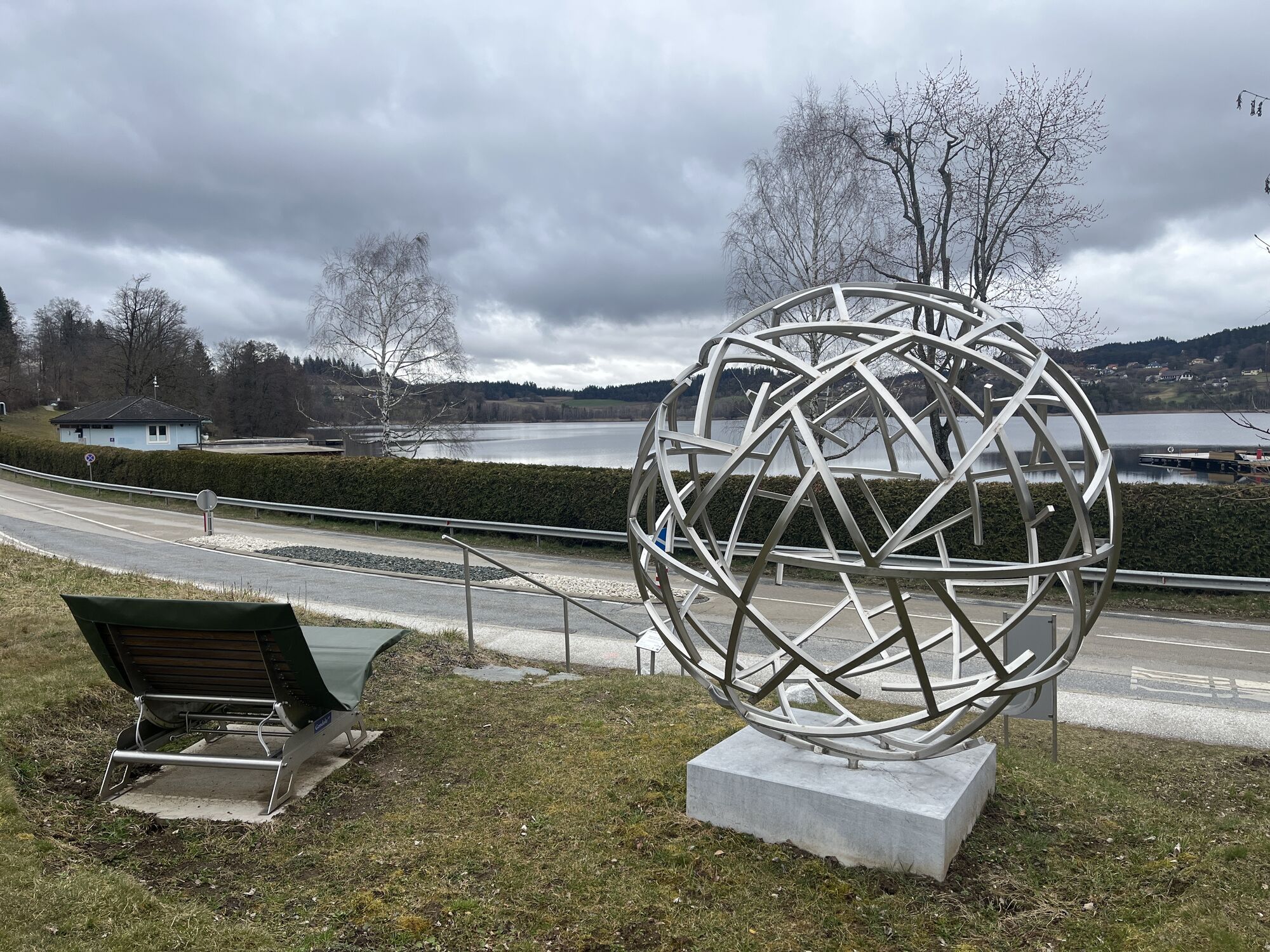
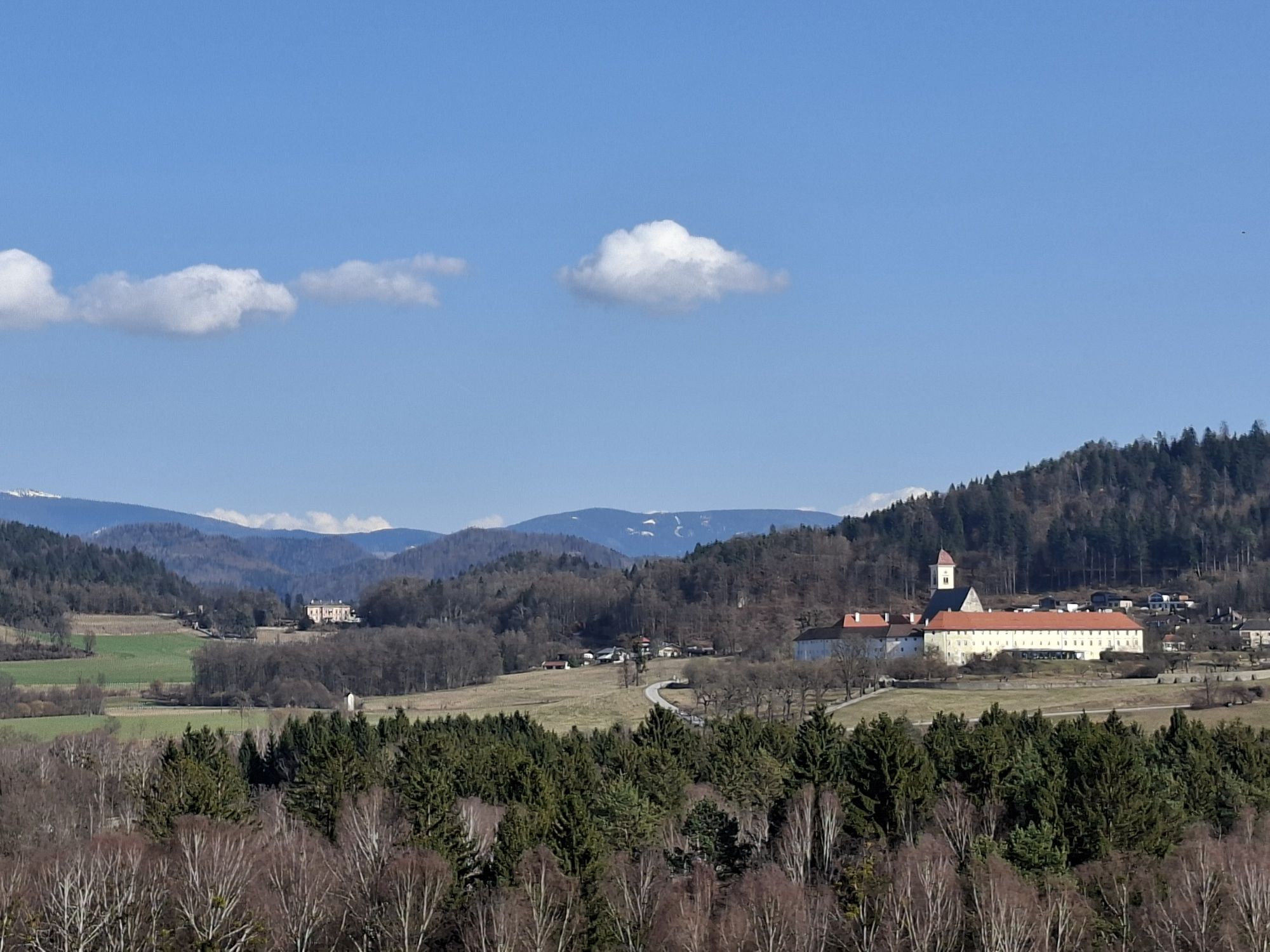
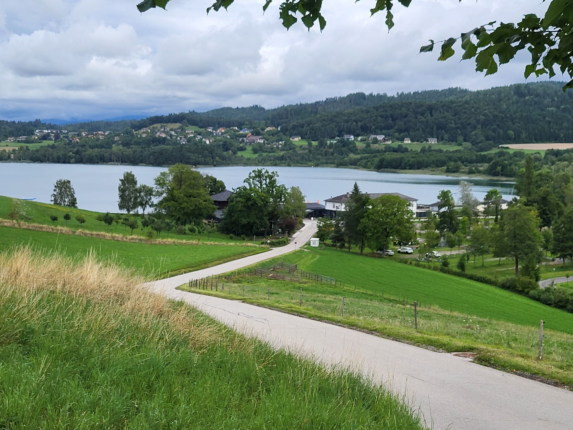
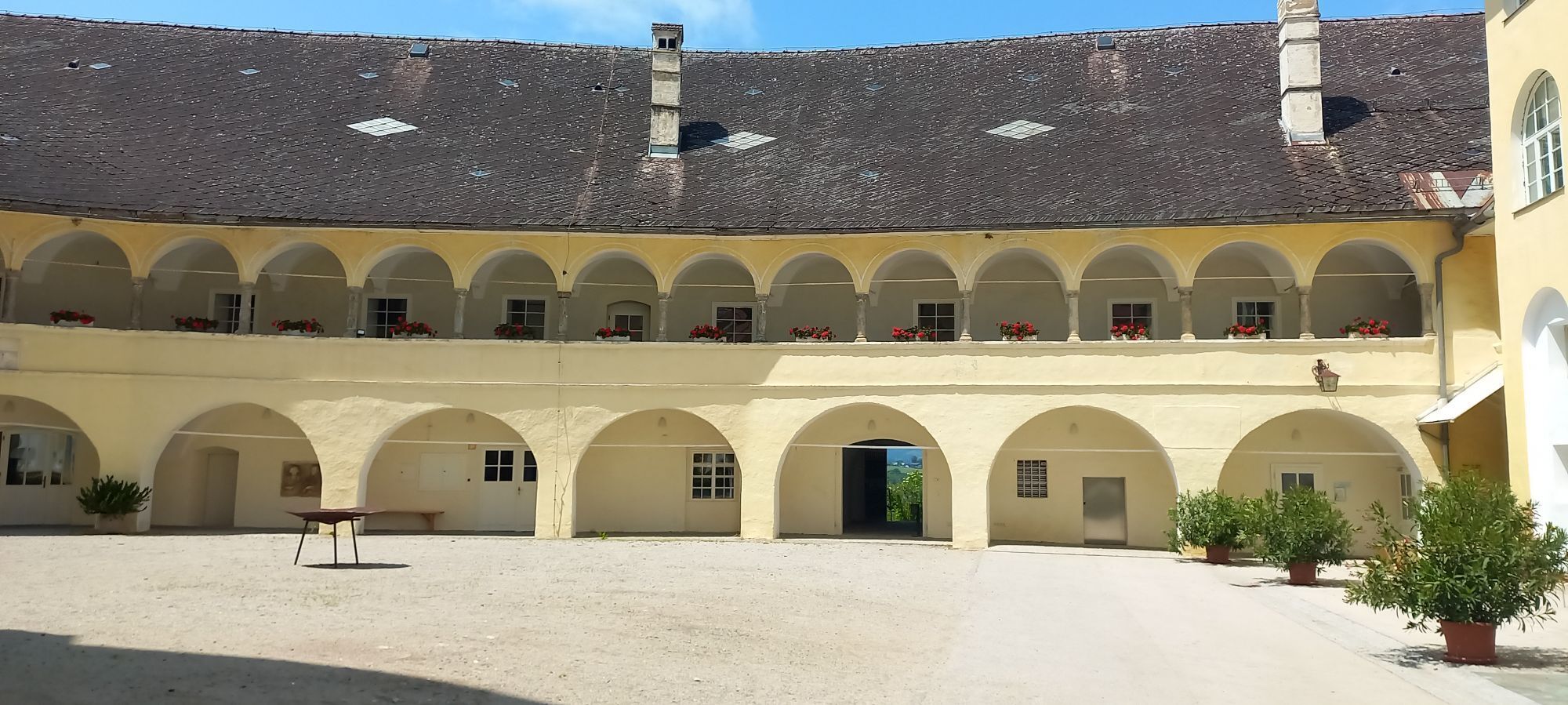
Hike through the cultural landscape from Längsee to Taggenbrunn via St. Peter and the Längsee moorland back to the abbey.
Enjoy the ascent to the Schwag, the expansive view of the playful basin of Längsee,...
Hike through the cultural landscape from Längsee to Taggenbrunn via St. Peter and the Längsee moorland back to the abbey.
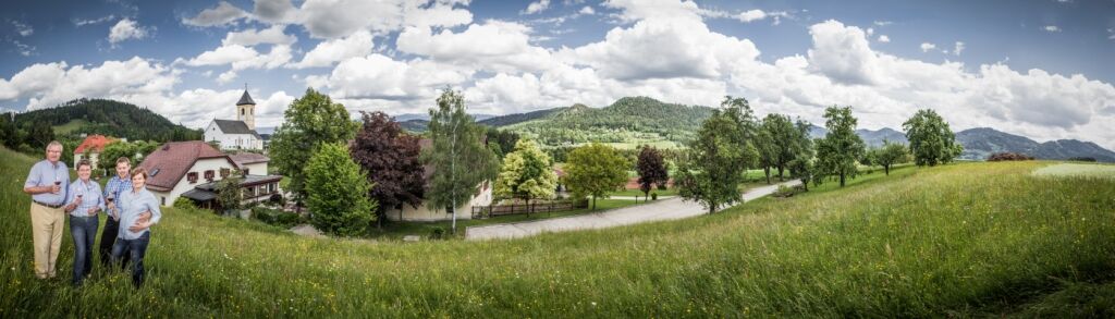
Enjoy the ascent to the Schwag, the expansive view of the playful basin of Längsee, the extended moorland with its diverse plant life, surrounded by picturesque birch forests.

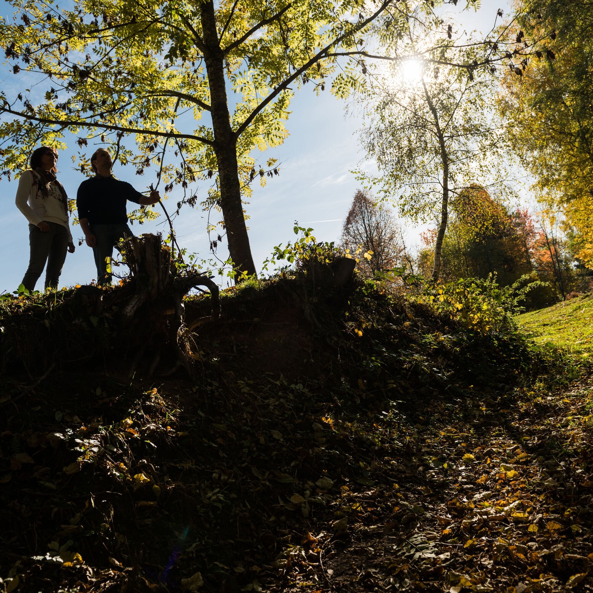


Follow the hiking trail marker No. 9
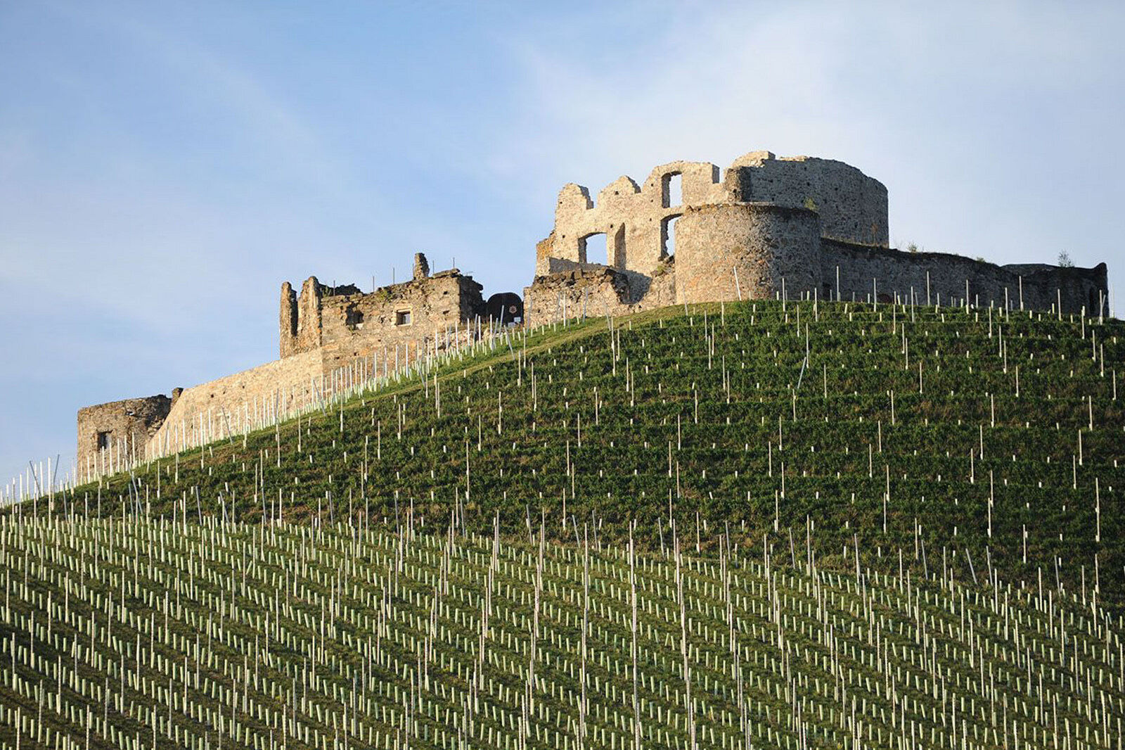
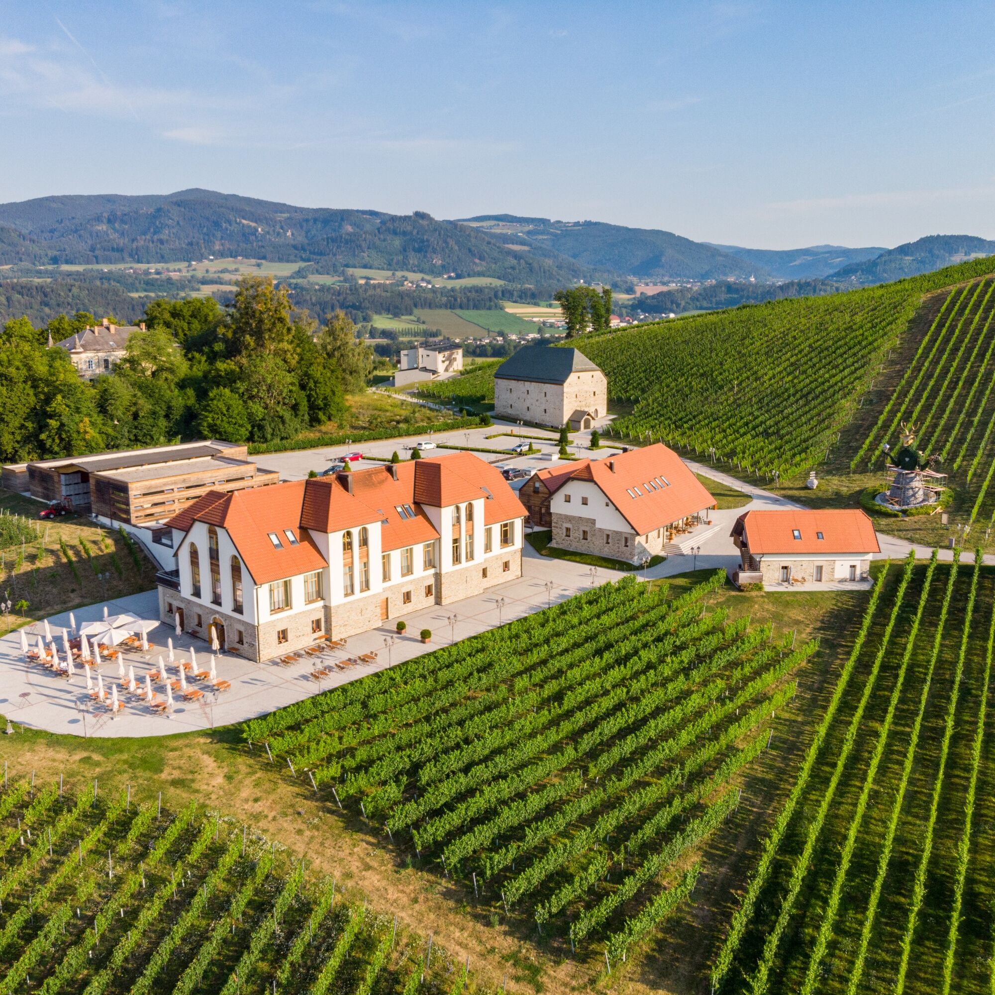
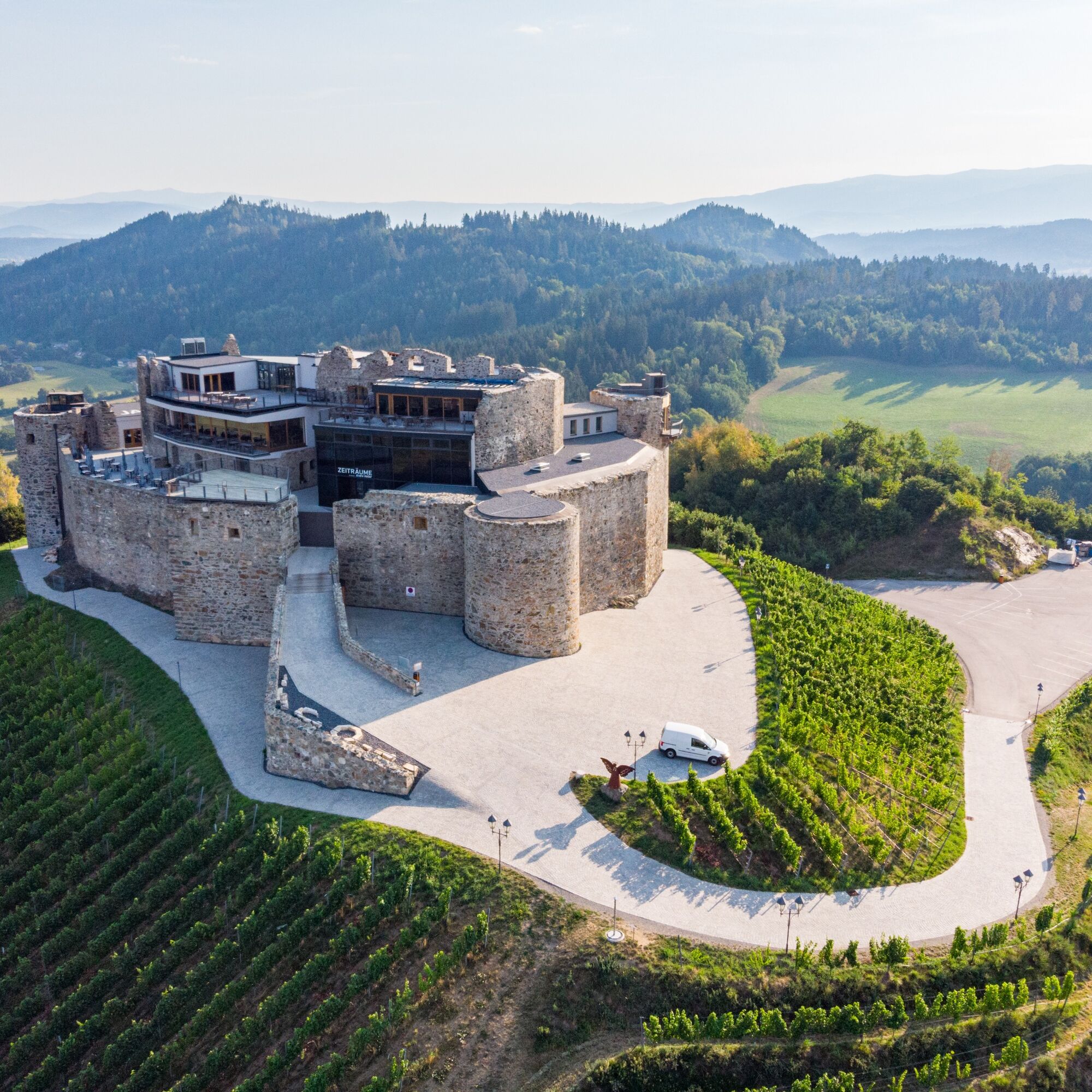
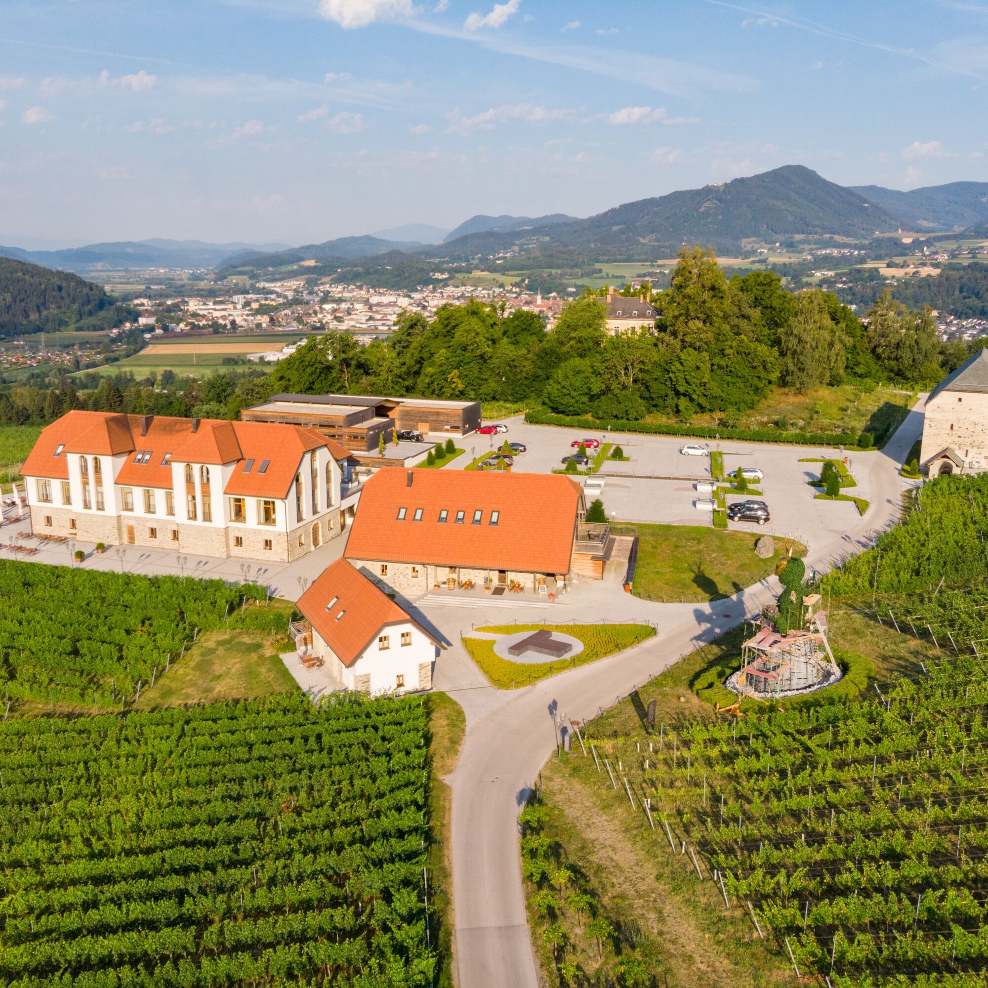
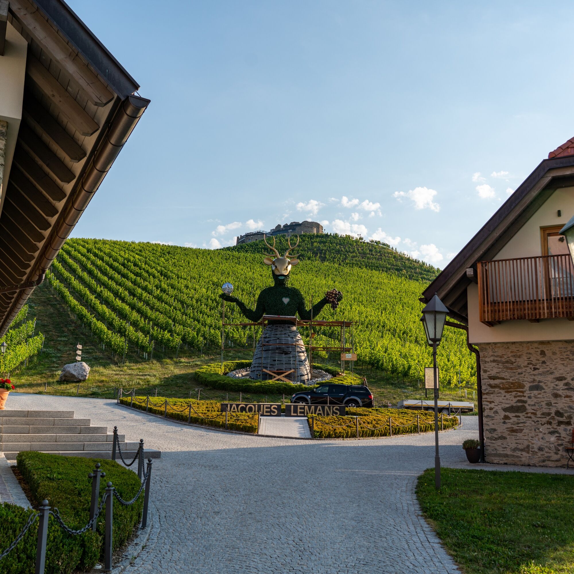
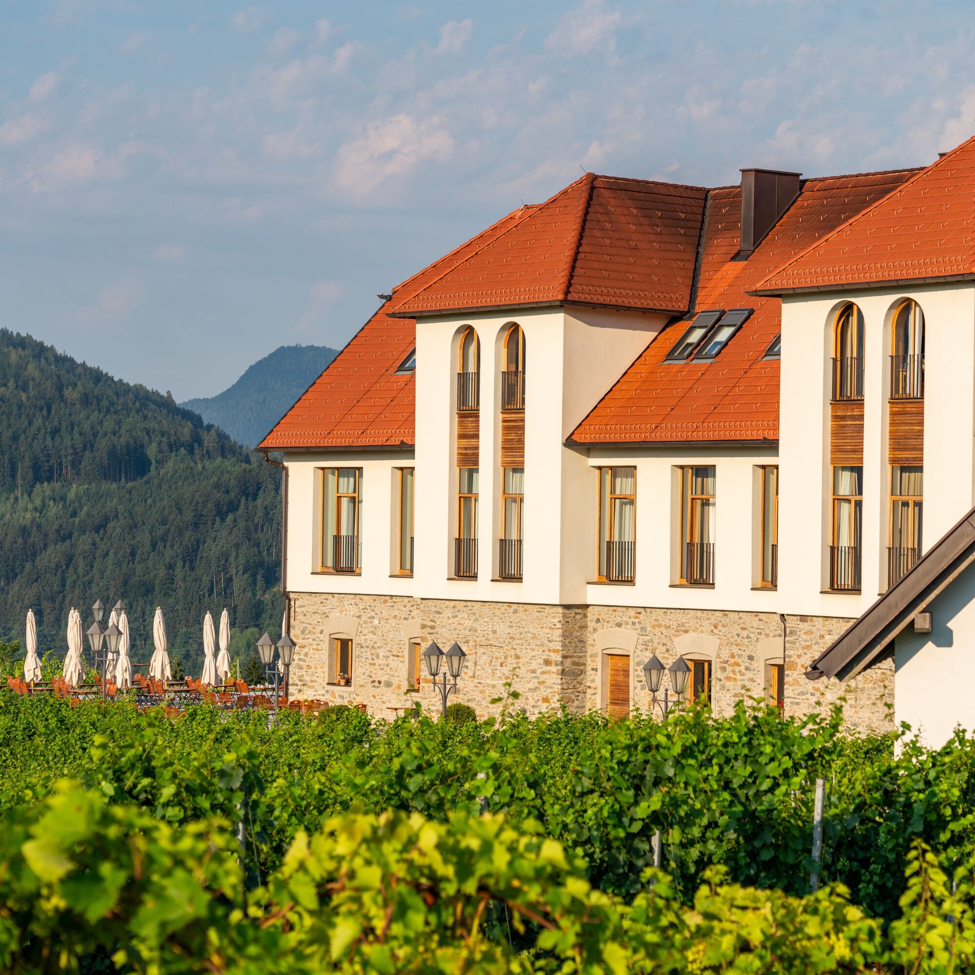
To the east of St. Georgen Abbey, the hiking trail passes the Längsee bathing beaches until it branches off towards Dellach and Schwag. Before crossing the elevation, you can once again enjoy the view over the basin of Längsee and its adjacent moor. Through a shady forest path, you reach the back of the Taggenbrunn castle hill with its widely visible, revitalized castle ruins (private property). The path continues over the so-called "Schwemm" above the village of St. Peter towards Dellach. The route now turns right, crosses the valley hollow in the moor and the Lava stream. Slightly ascending, we leave the moor and reach Längseestraße, which is crossed. St. Georgen Abbey as the end point of the hike is soon reached again.
Sturdy footwear, drinking water, and sun protection are recommended.
Inform someone where you are going and when you will be back
Take the S 37 towards St. Georgen am Längsee, then turn off to St. Georgen Abbey.
see oebb route planner
Parking available at St. Georgen Abbey.
Find more routes here:
https://regio.outdooractive.com/oar-mittelkaernten/de/
Enjoy the view over the basin of Längsee and the extensive moorland after the ascent to the "Schwag".
 Pridobite vpogled
Vedno v živo na mestu z več kot 9.500 spletnimi kamerami. bergfex Kot uporabnik Pro si lahko zdaj ogledate ustrezne spletne kamere za številne izlete v aplikaciji izleti iz. Tako si lahko neposredno ogledate trenutne razmere.
Pridobite vpogled
Vedno v živo na mestu z več kot 9.500 spletnimi kamerami. bergfex Kot uporabnik Pro si lahko zdaj ogledate ustrezne spletne kamere za številne izlete v aplikaciji izleti iz. Tako si lahko neposredno ogledate trenutne razmere.
Priljubljeni izleti v okolici
-
4.8
Abenteuer-Wasser-Weg
srednjaPohodništvo 9.13 km -
4.7
Vierbergelauf
srednjaRomarska pot 47.6 km -
4.5
Ulrichsberg
svetlobaPohodništvo 5.60 km -
4.3
Mariahilferweg
srednjaPohodništvo 11.2 km -
3.6
Umetniška pot - Längsee (1)
svetlobaPohodništvo 5.43 km -
4.1
MAGDALENSBERG RUNDWANDERUNG
srednjaPohodništvo 11.7 km -
4.4
Magdalensberg von St.Donat
svetlobaPohodništvo 9.28 km -
4.0
Schloss Frauenstein - Kraiger lake circular route
svetlobaPohodništvo 6.96 km -
4.1
Althofen Wald Ausichtsweg
svetlobaPohodništvo 3.94 km -
4.0
Around the Buchberg (6)
srednjaPohodništvo 8.79 km
Pohodništvo in sledenje


Ne zamudite ponudb in navdiha za naslednje počitnice
Vaš e-poštni naslov je bil dodan na poštni seznam.





