







Hocheck trail
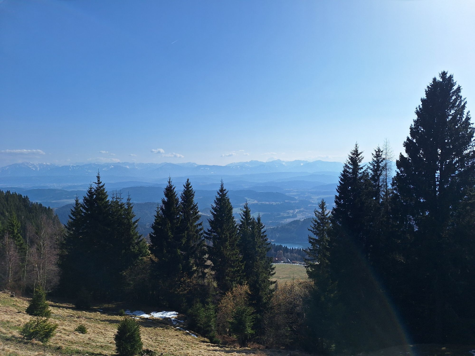
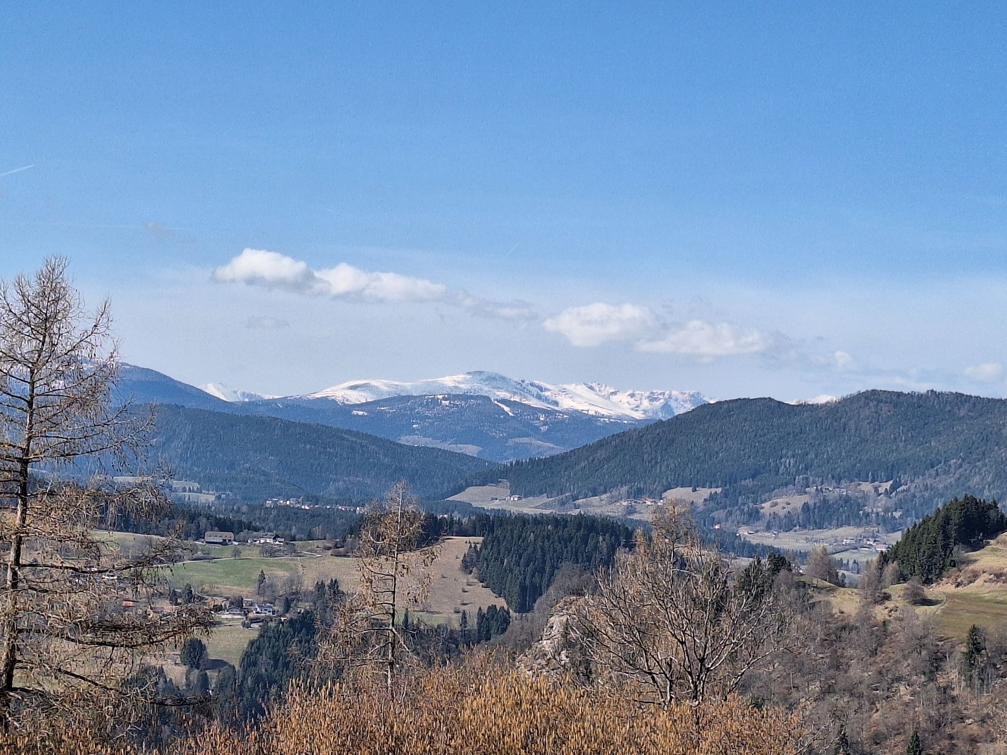
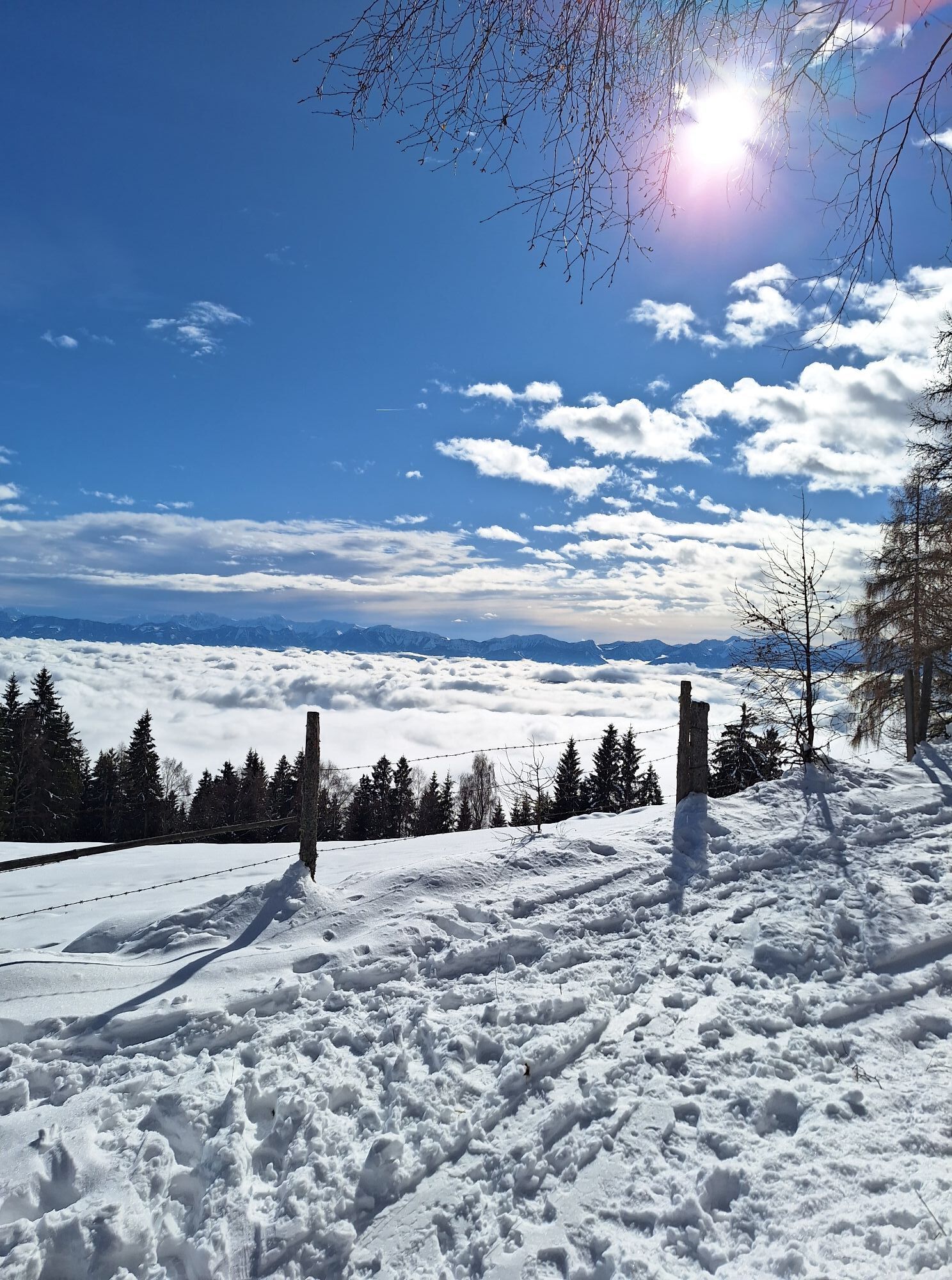
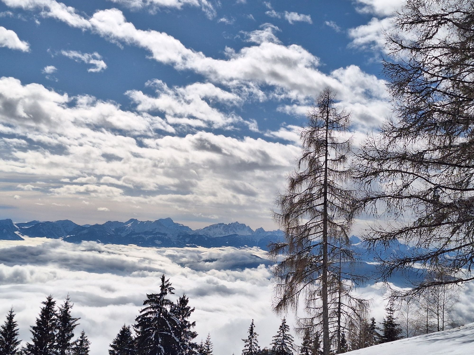
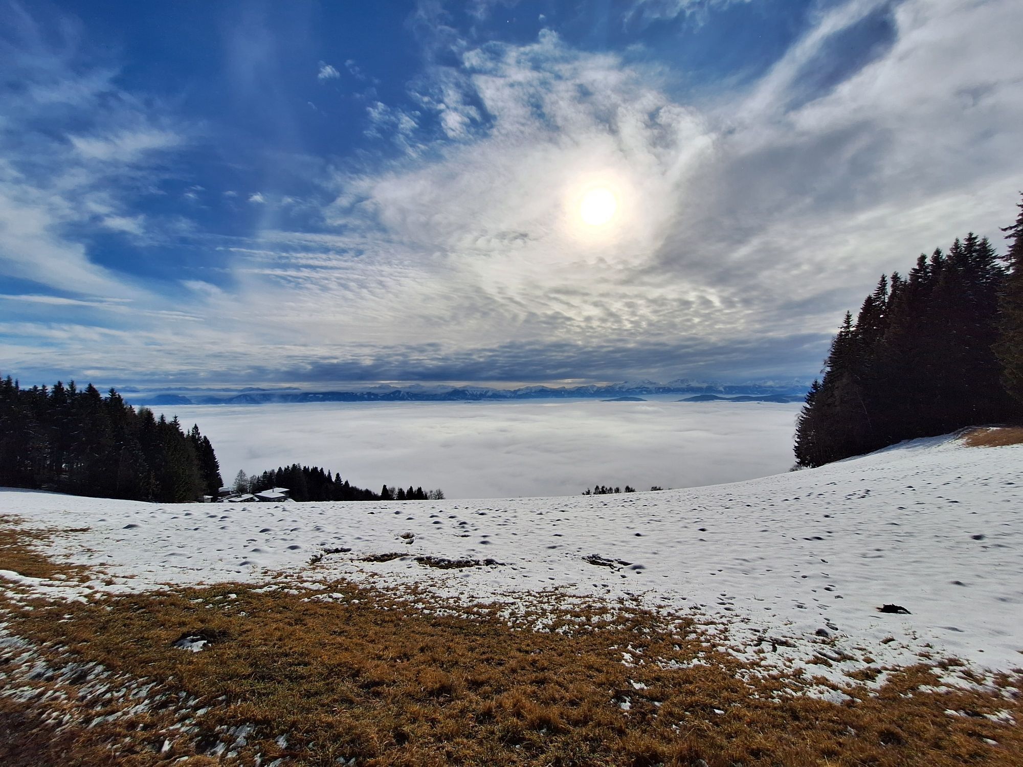
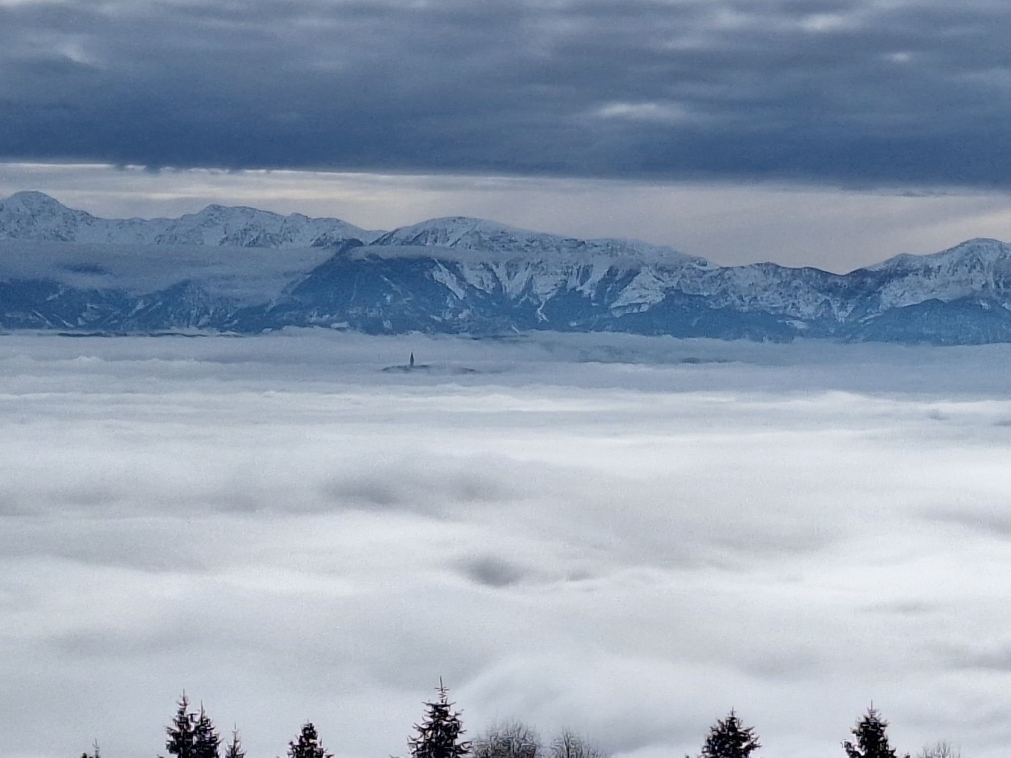
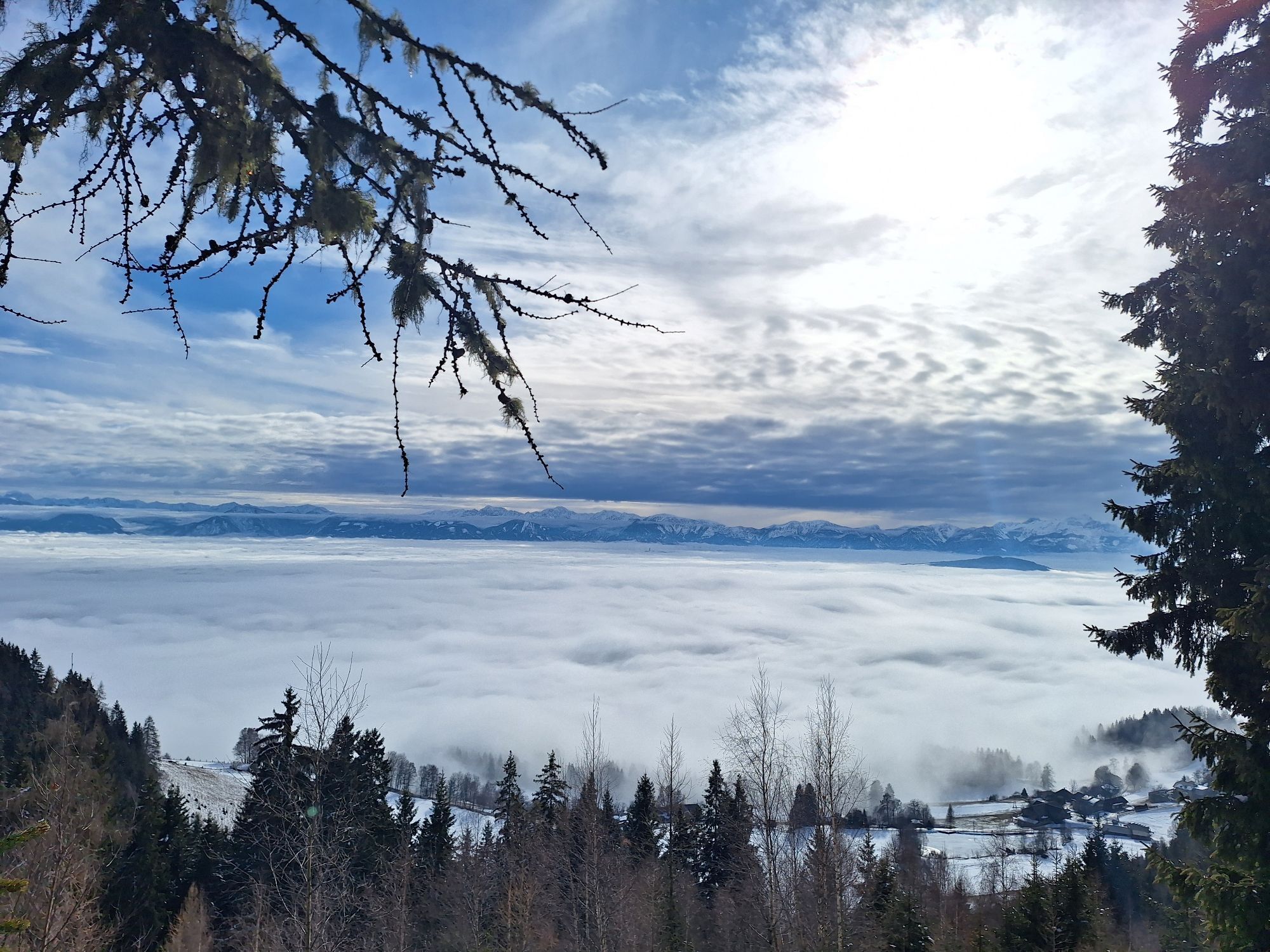
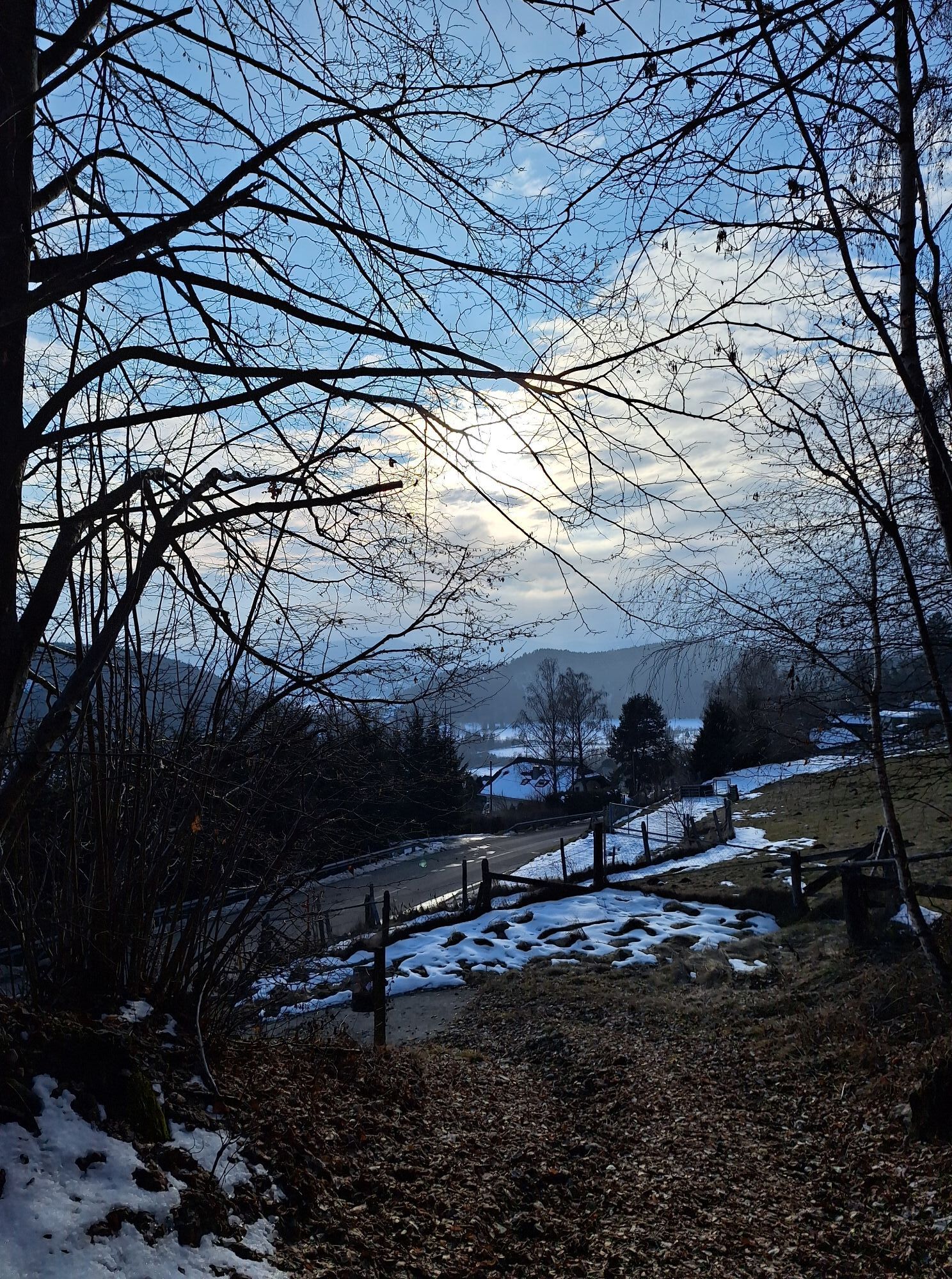
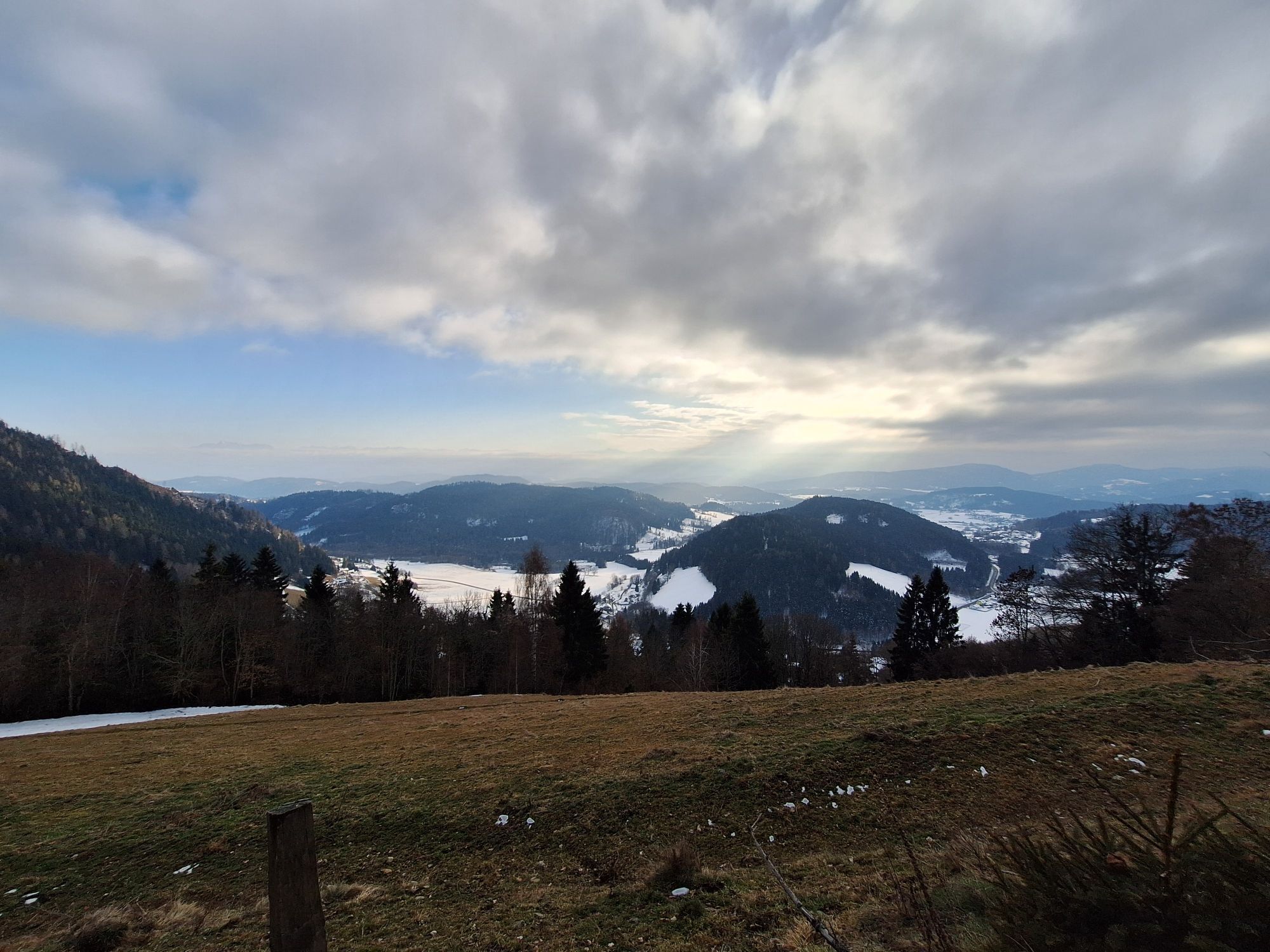
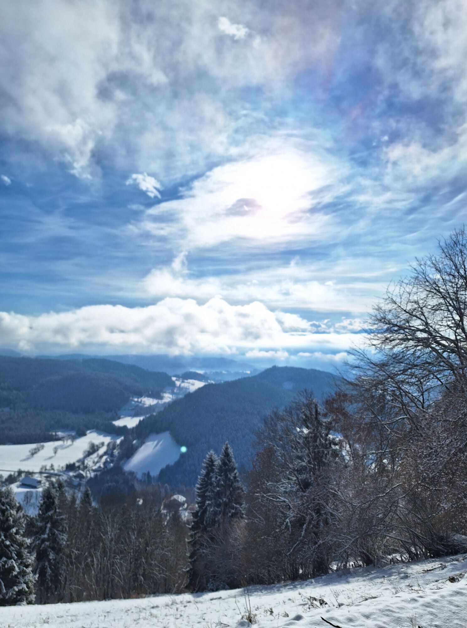
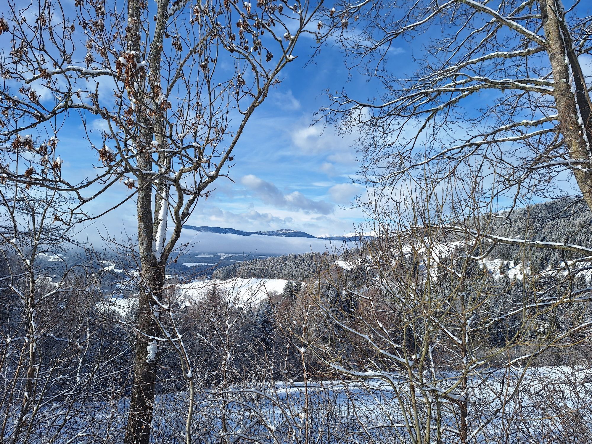
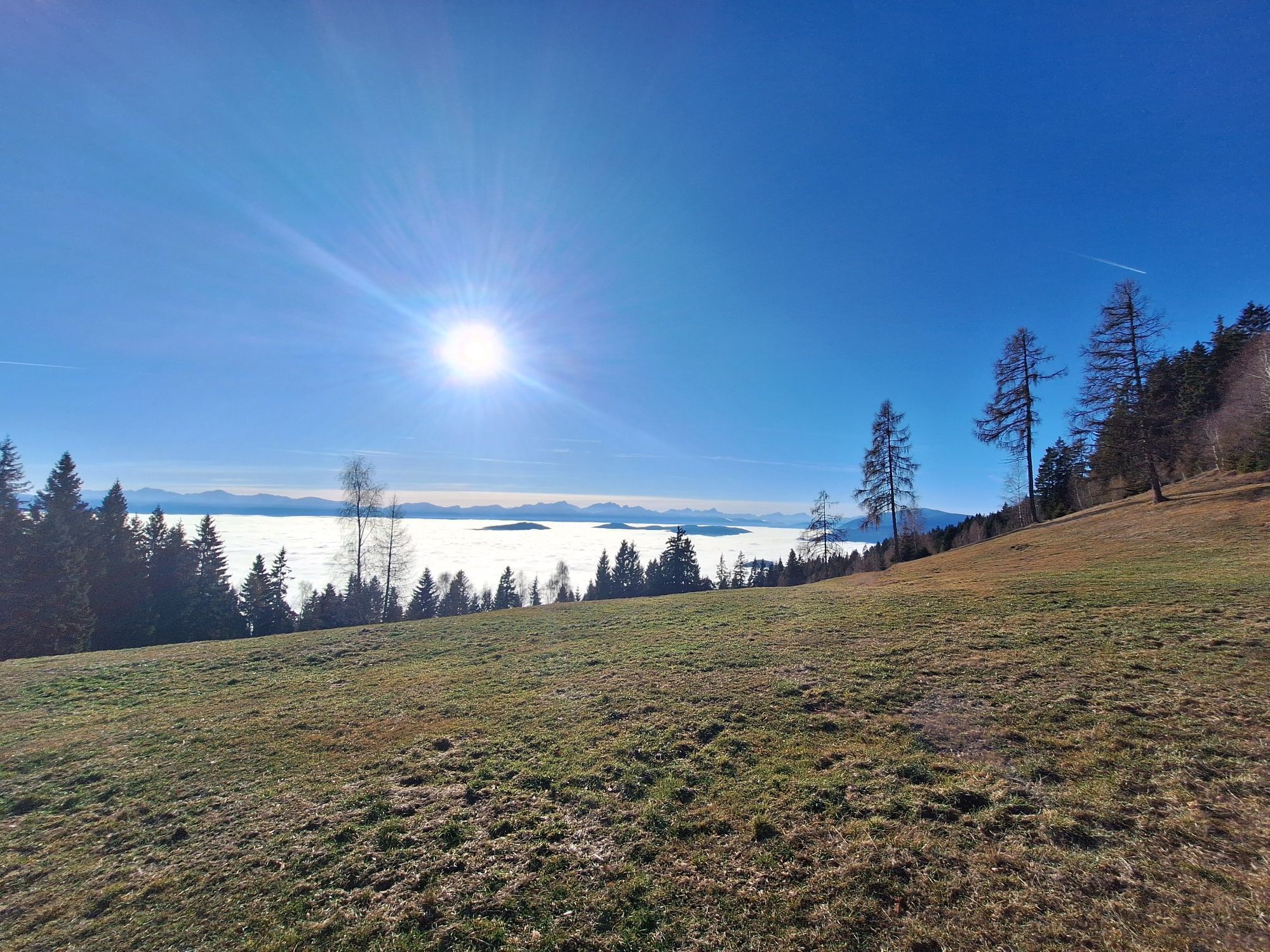
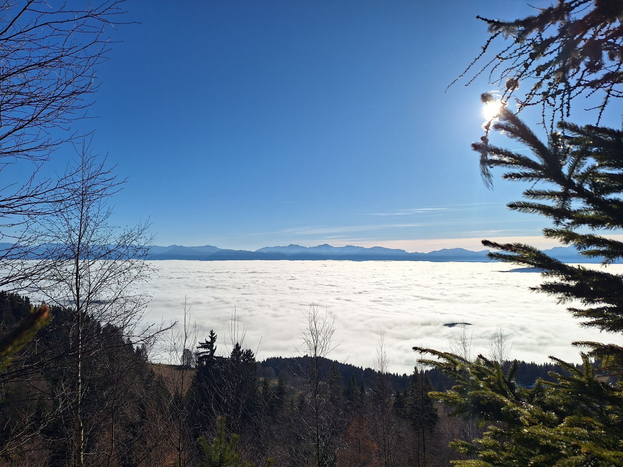
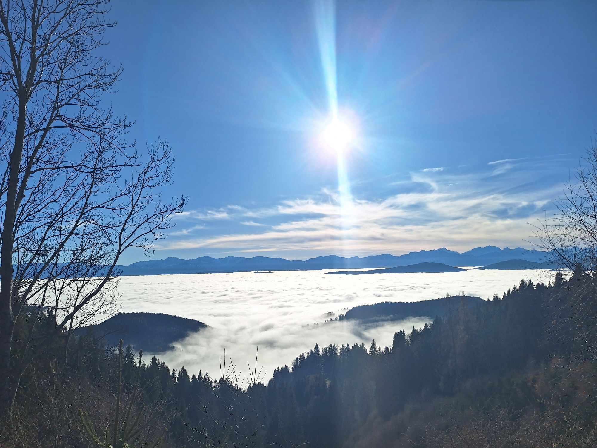
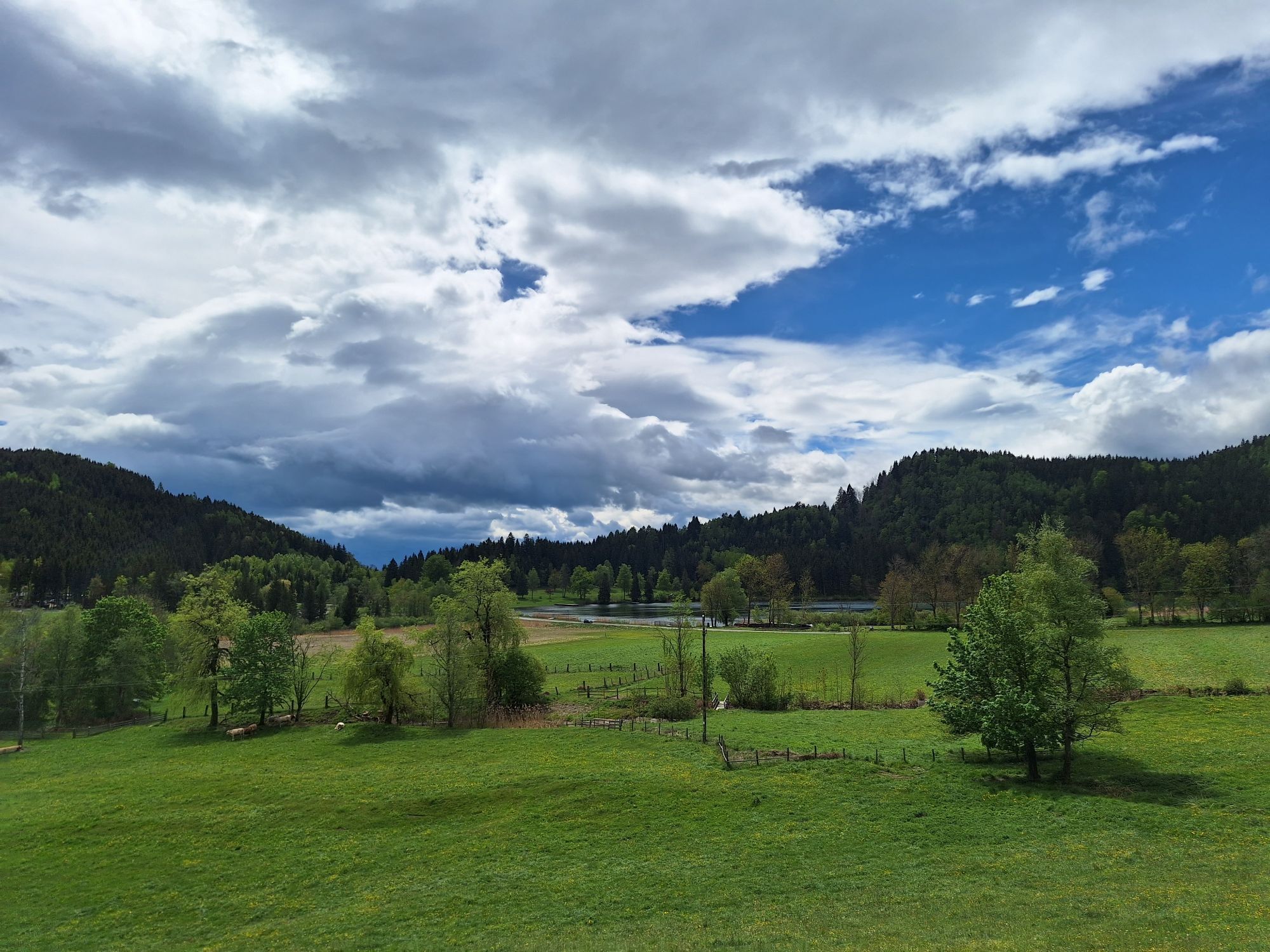
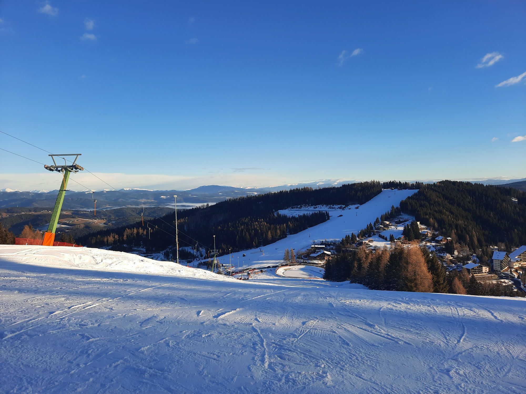
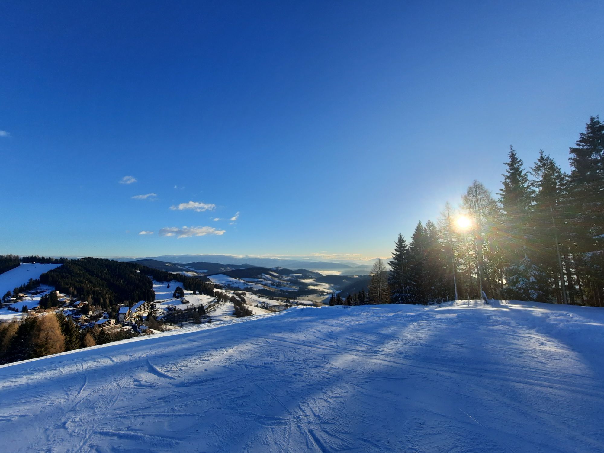
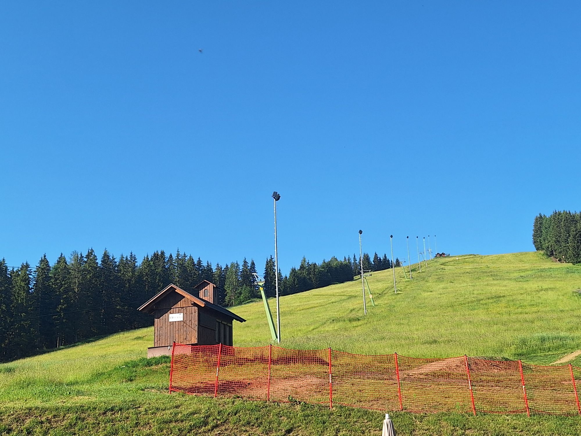
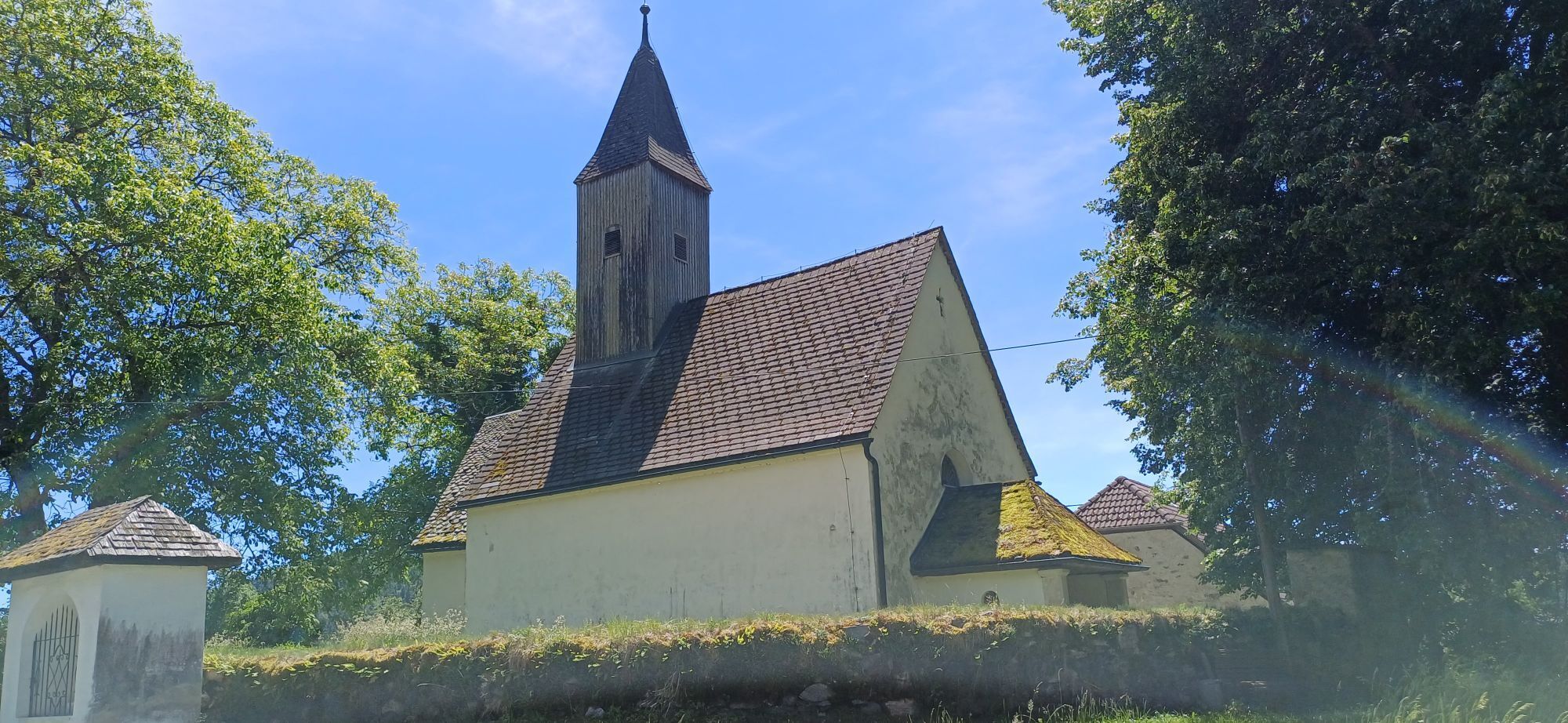
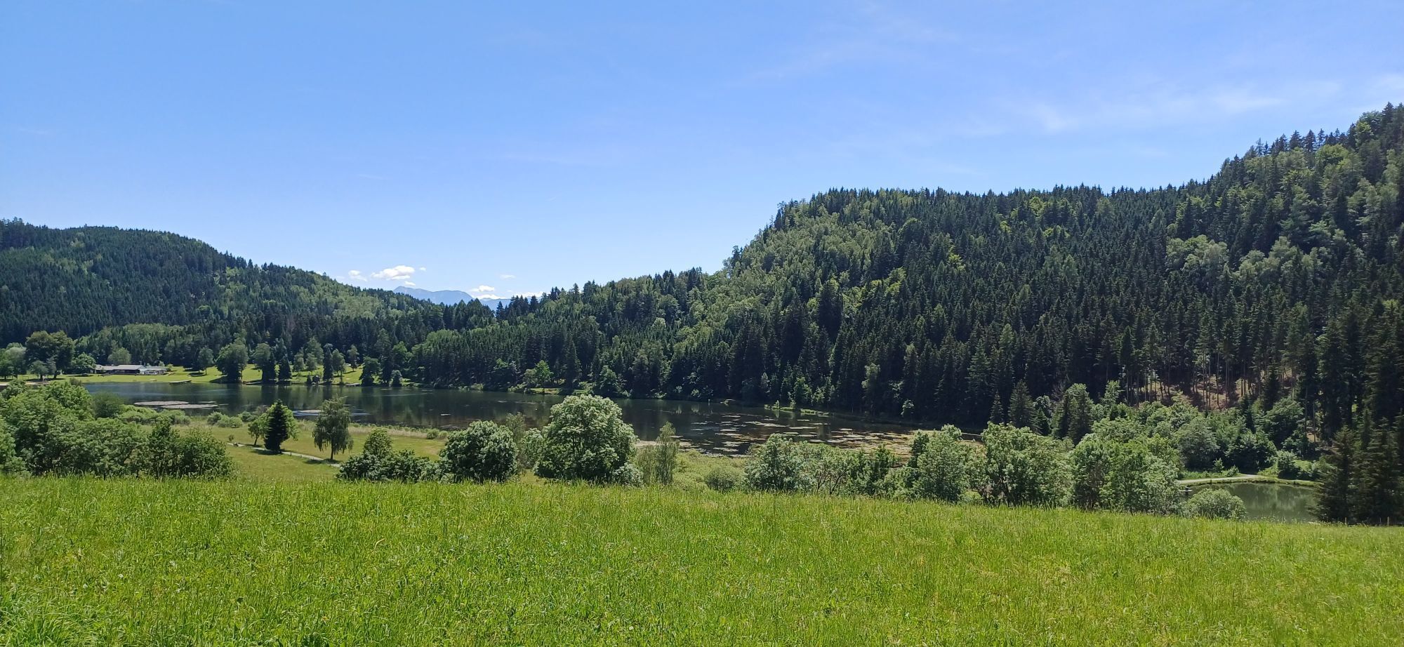
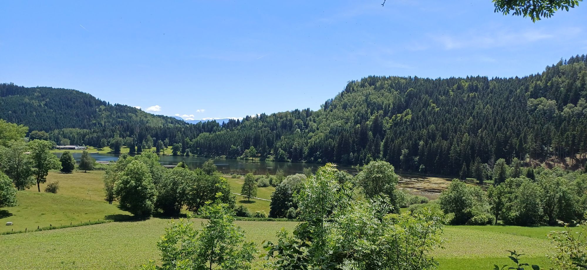
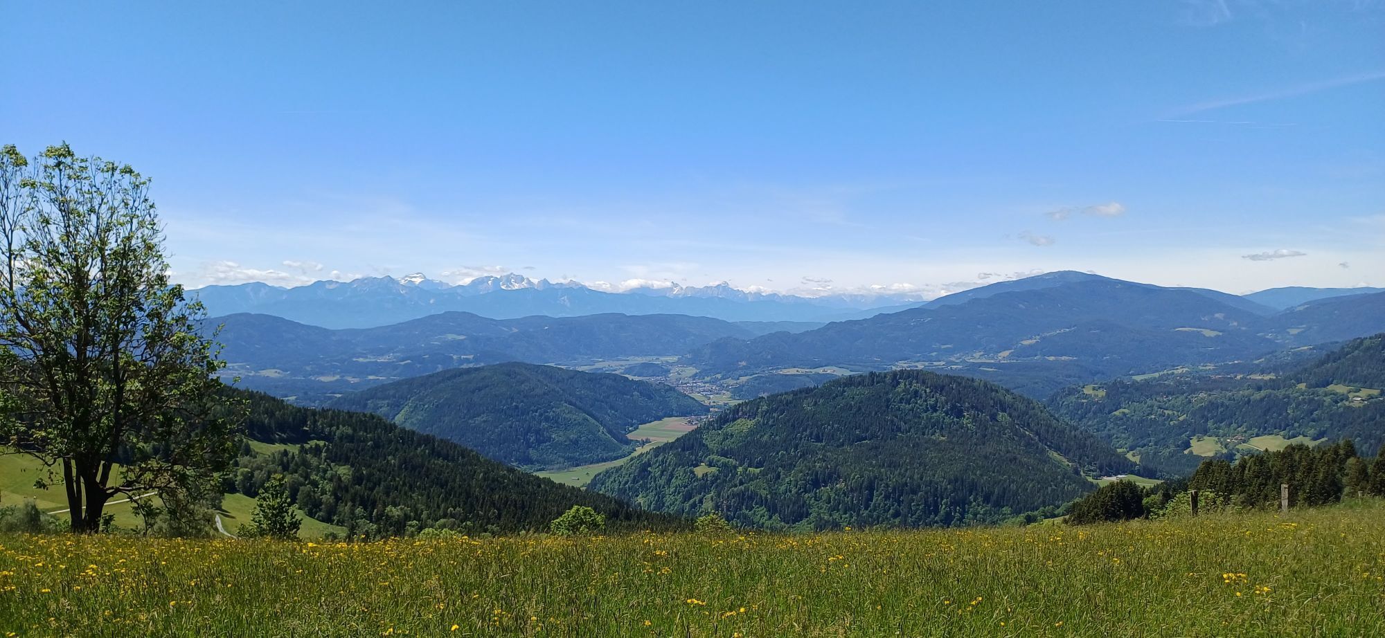
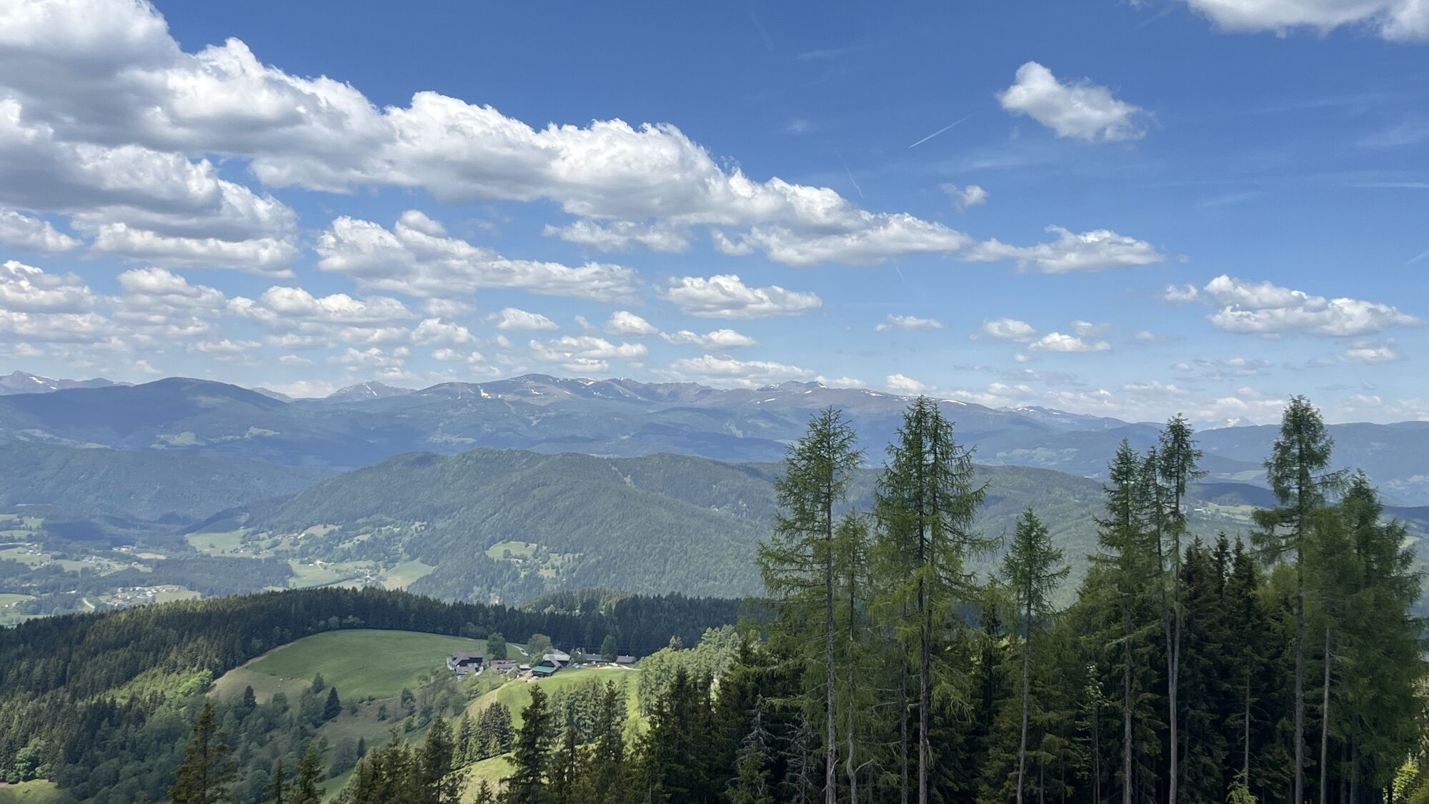
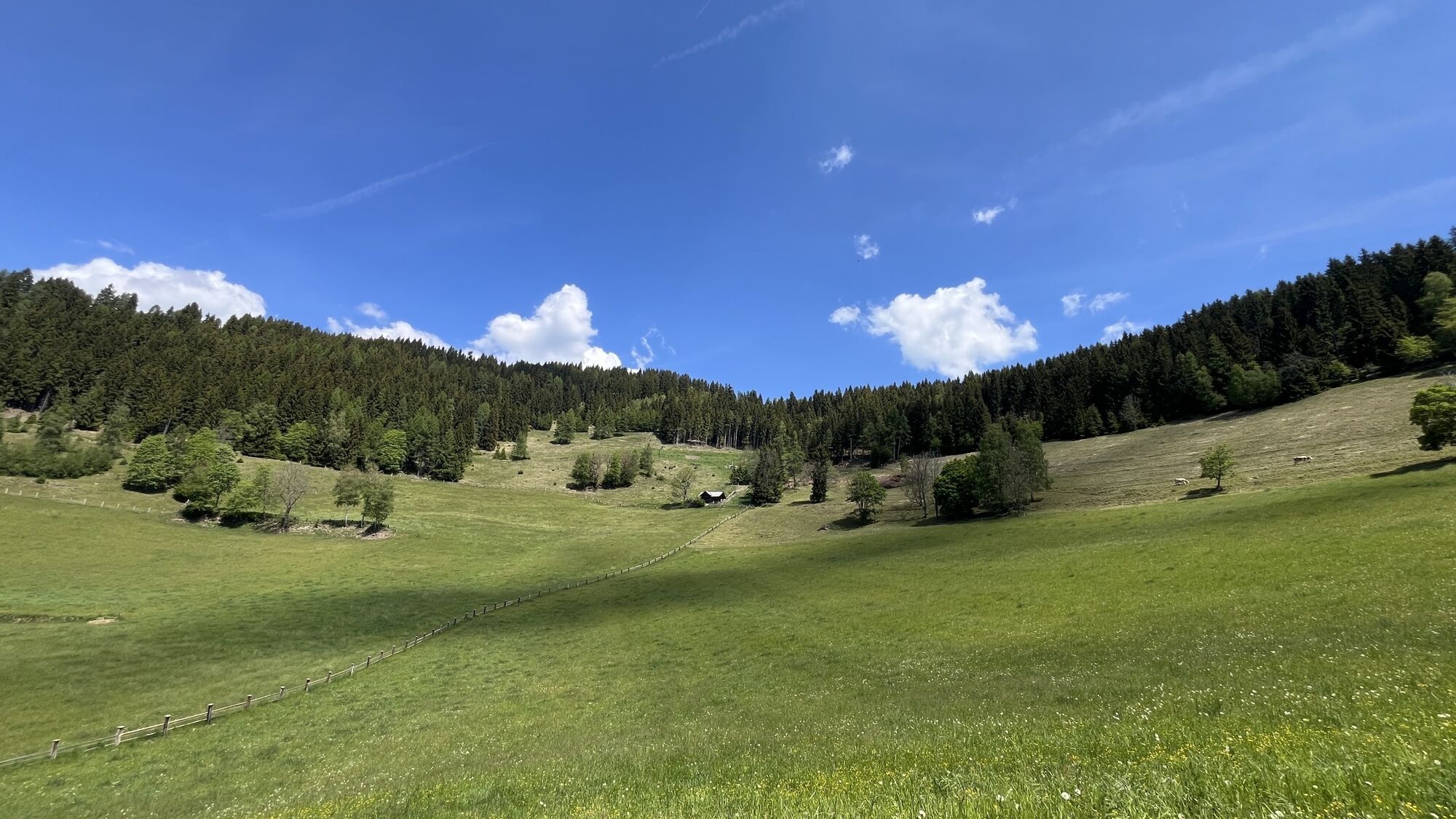
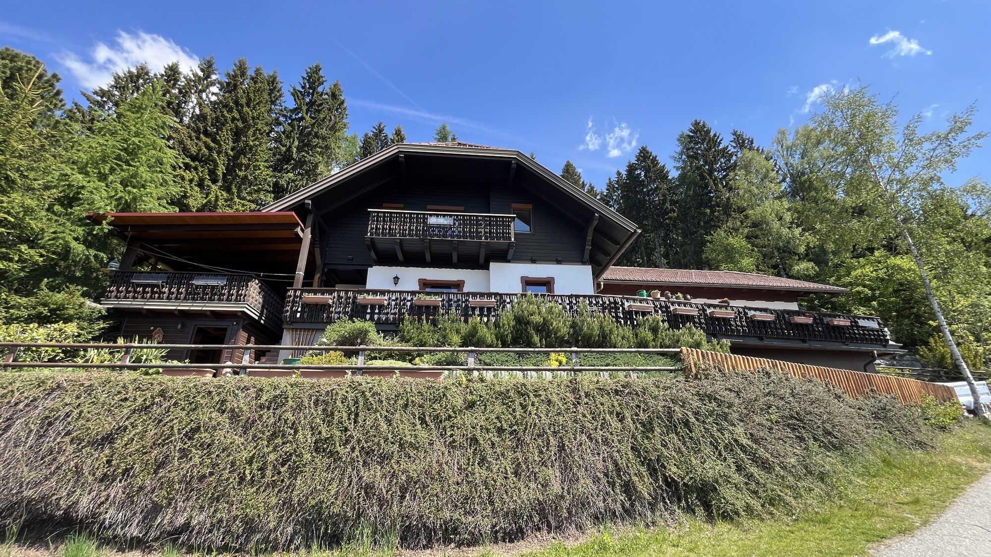
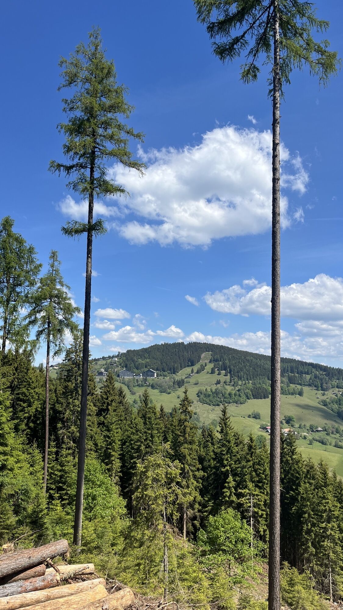
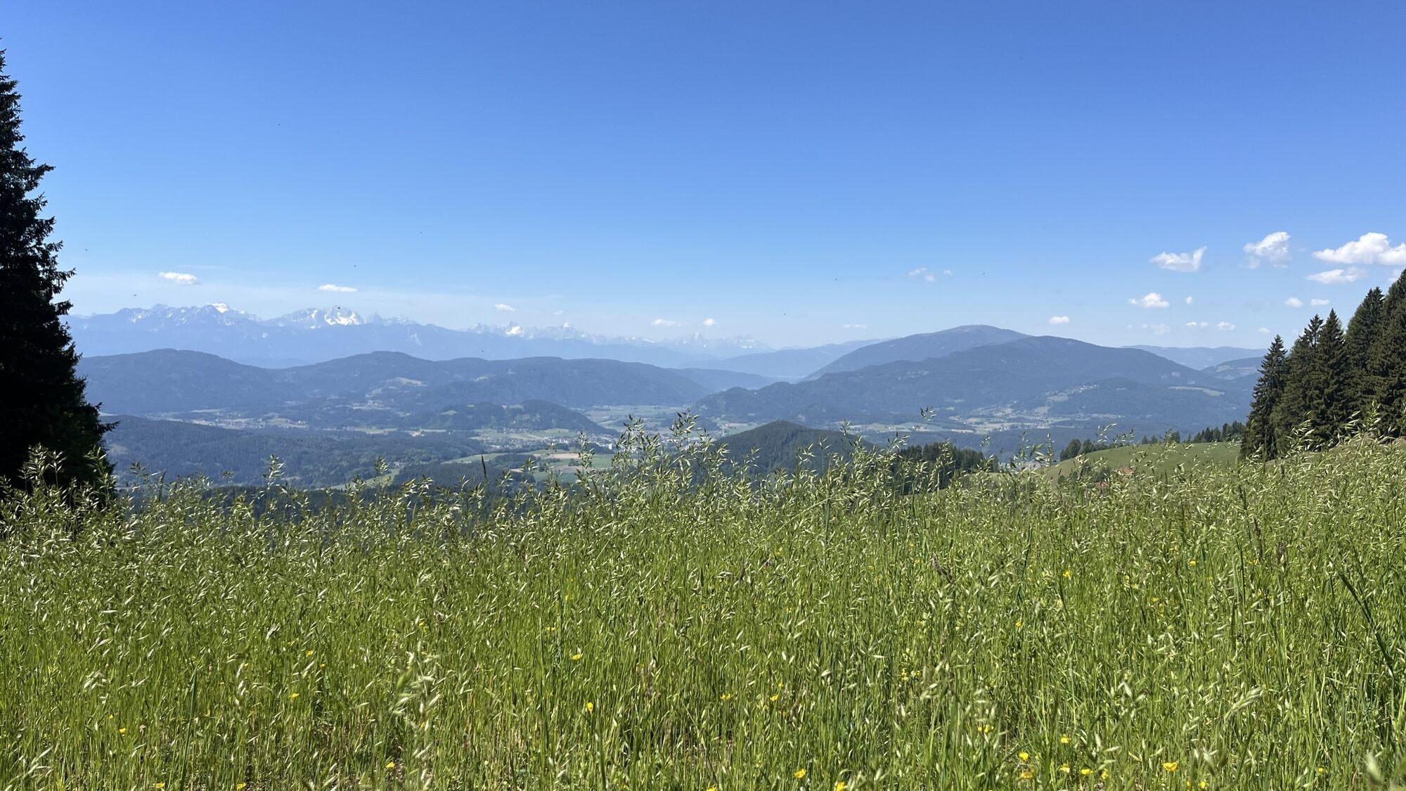
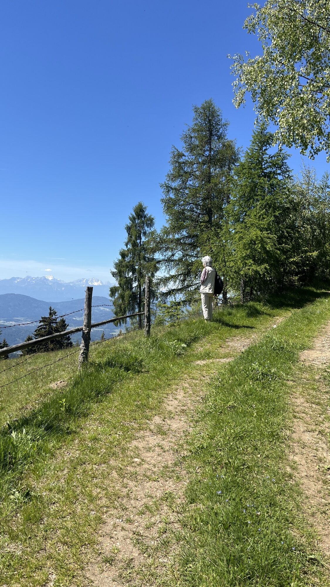
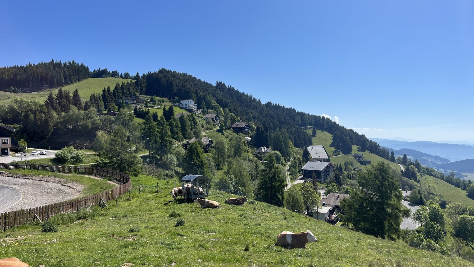
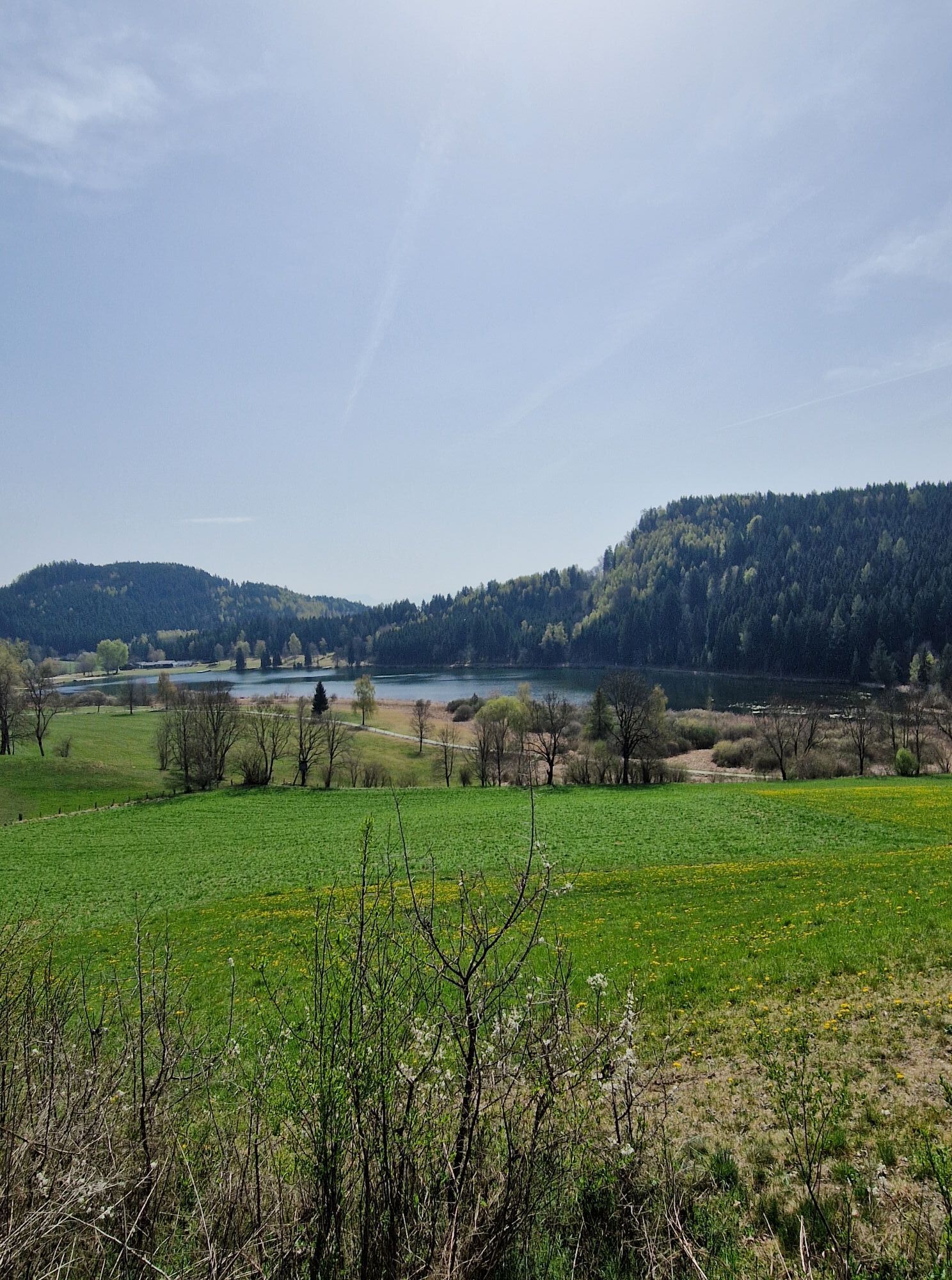
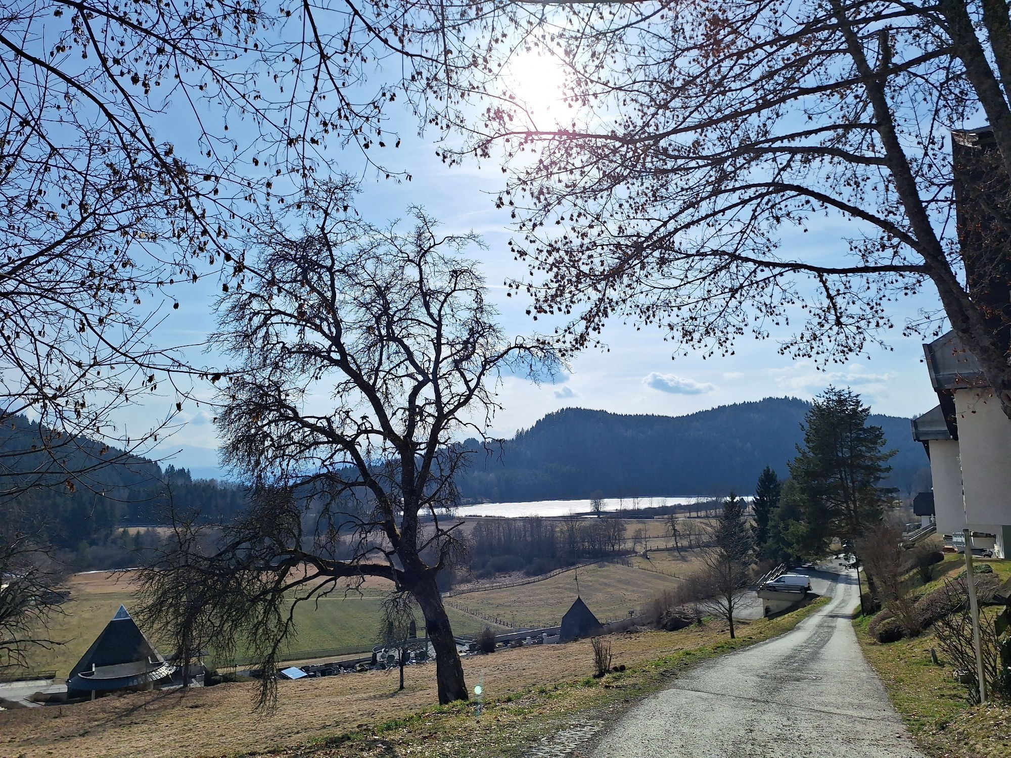
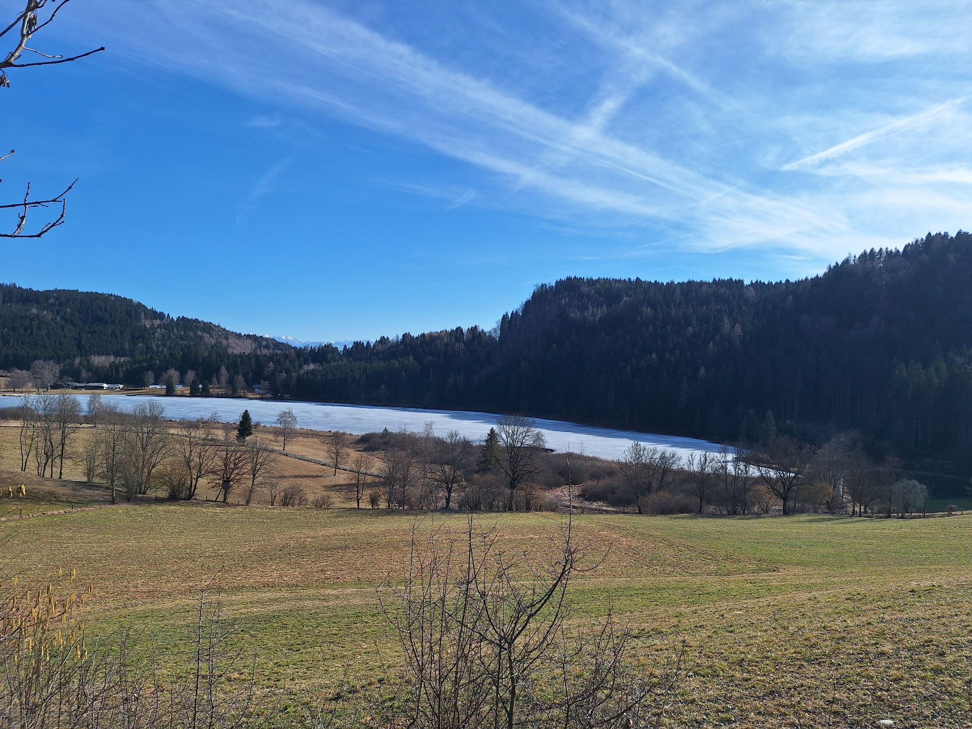
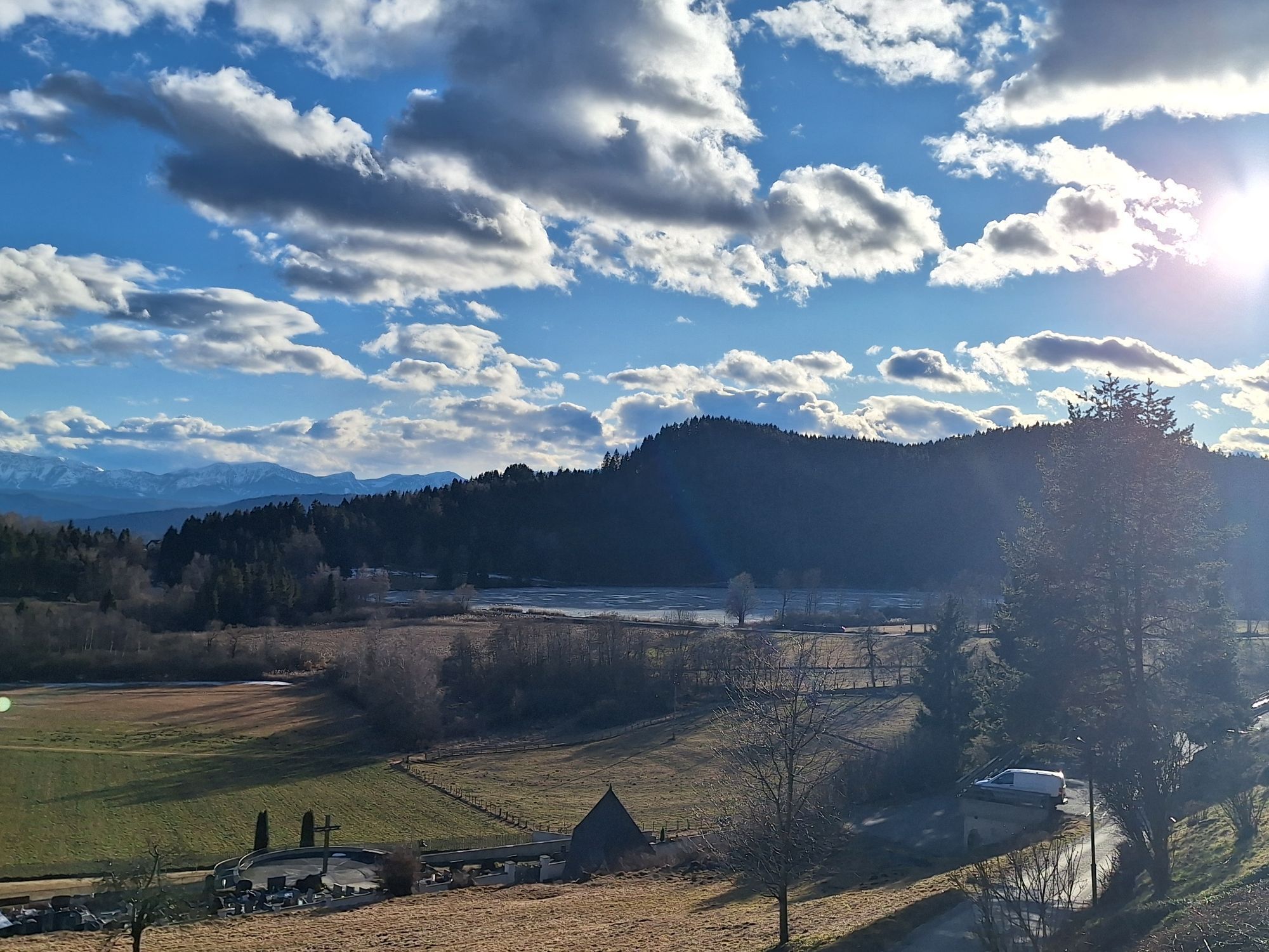
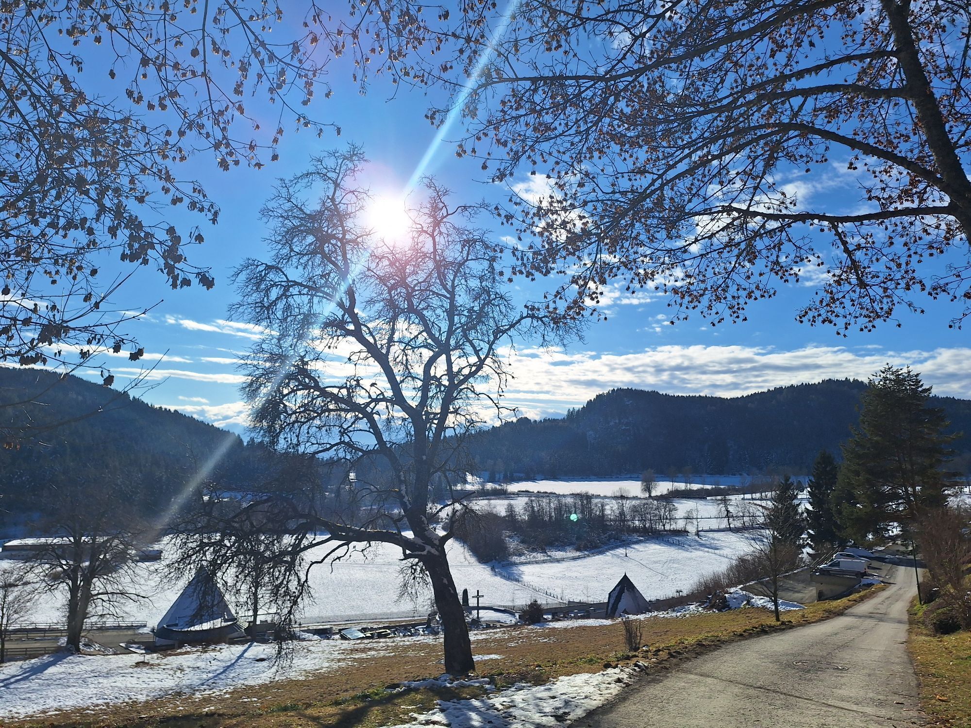
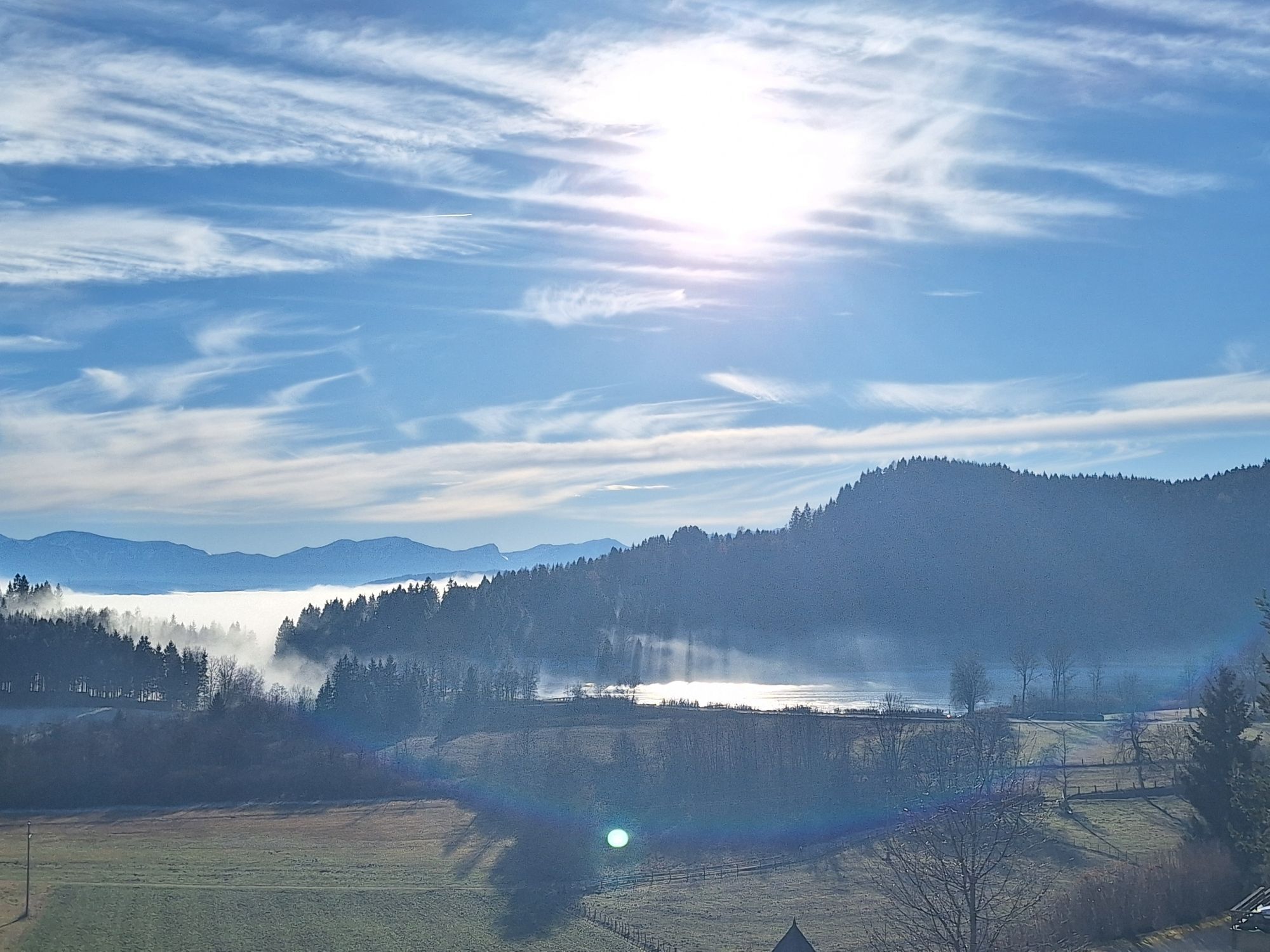
The Hocheck route is marked with the letter D in the municipality of St. Urban. The Simonhöhe trail is somewhat more demanding but also suitable for children. In Kleingradenegg, you should visit the noteworthy...
The Hocheck route is marked with the letter D in the municipality of St. Urban. The Simonhöhe trail is somewhat more demanding but also suitable for children. In Kleingradenegg, you should visit the noteworthy Turkish Church with the Marriage Stone.

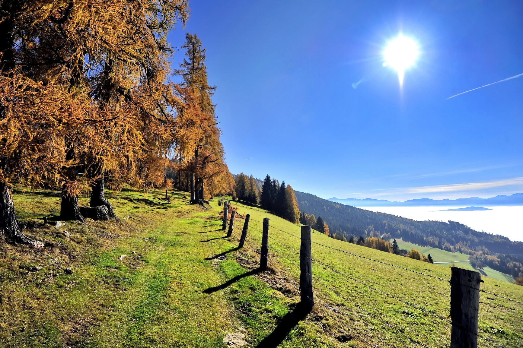
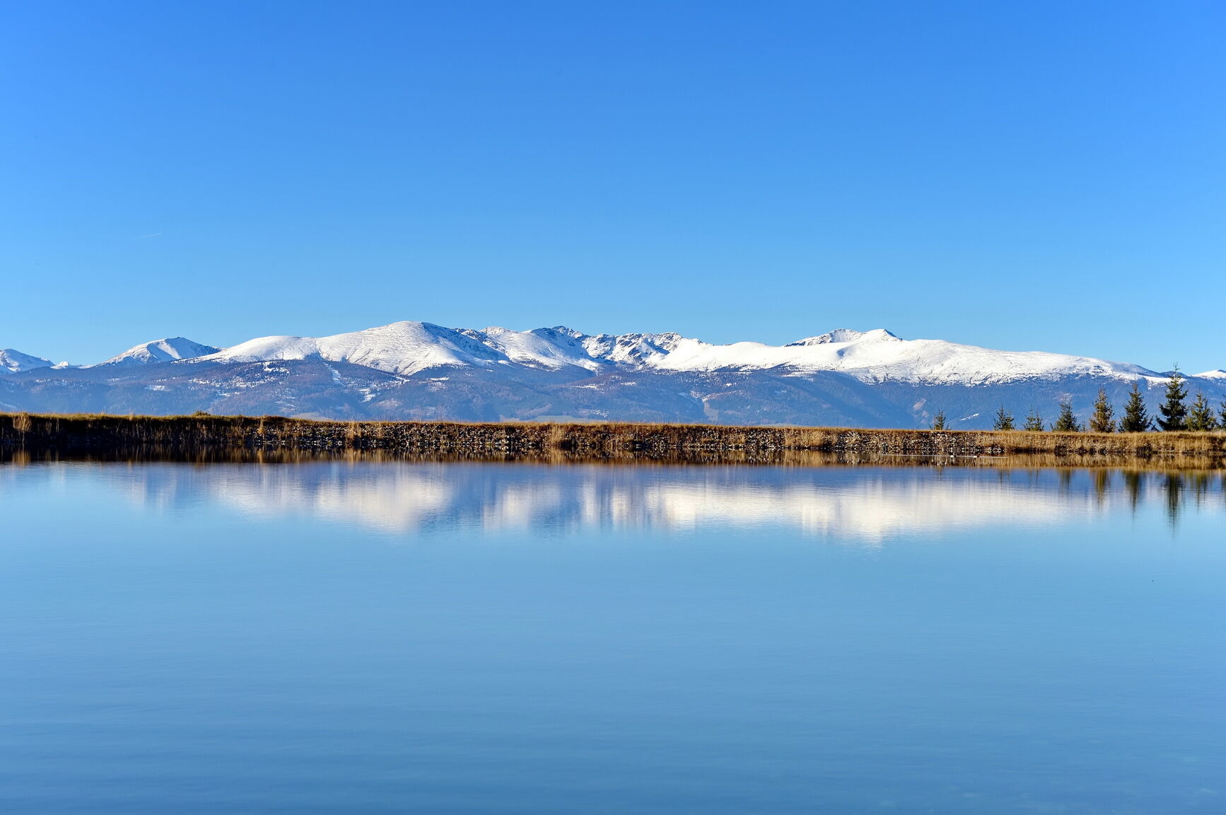
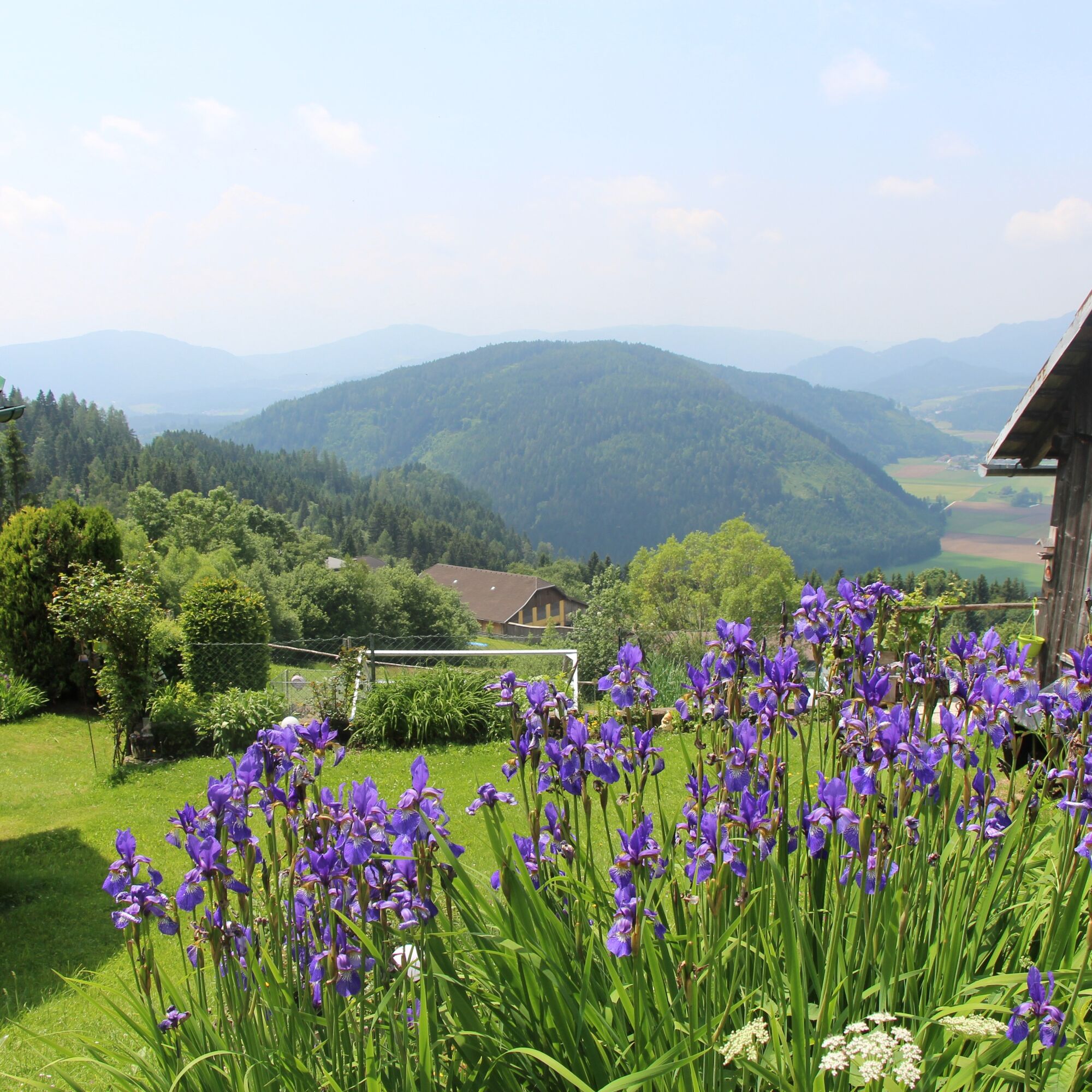
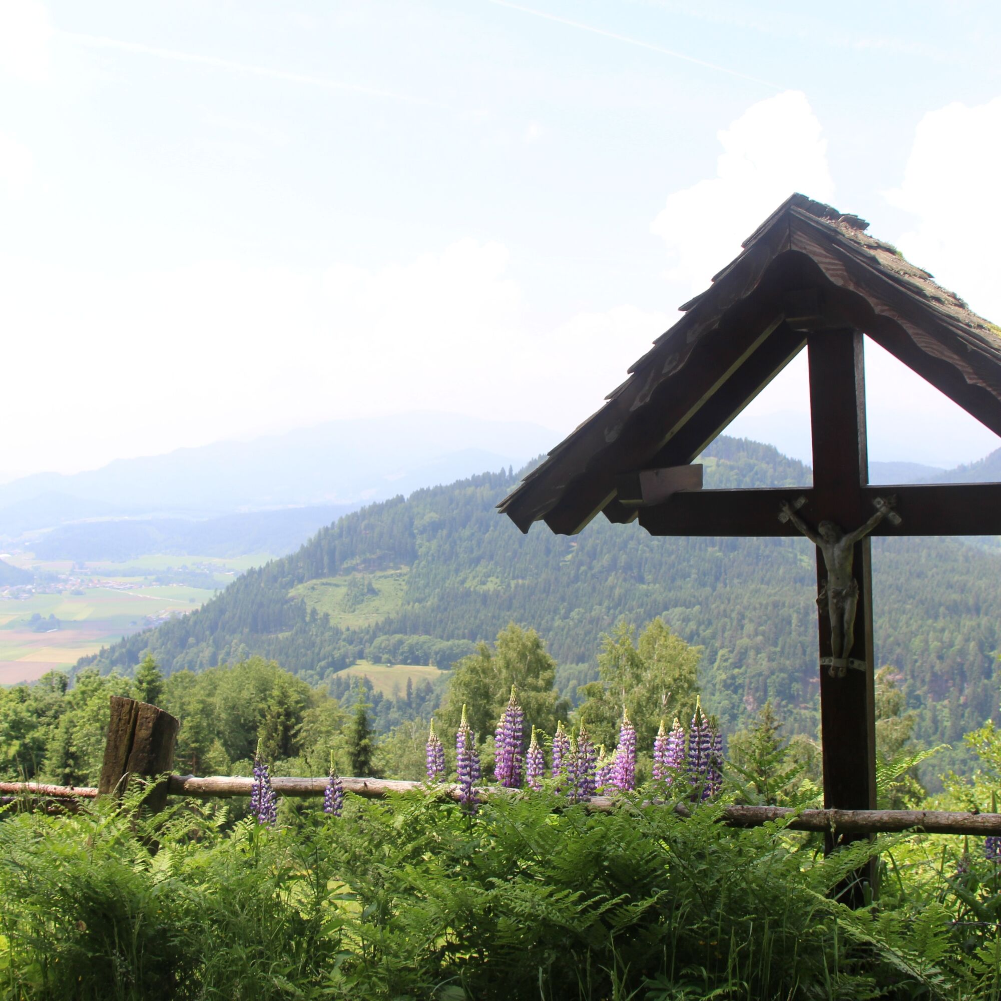
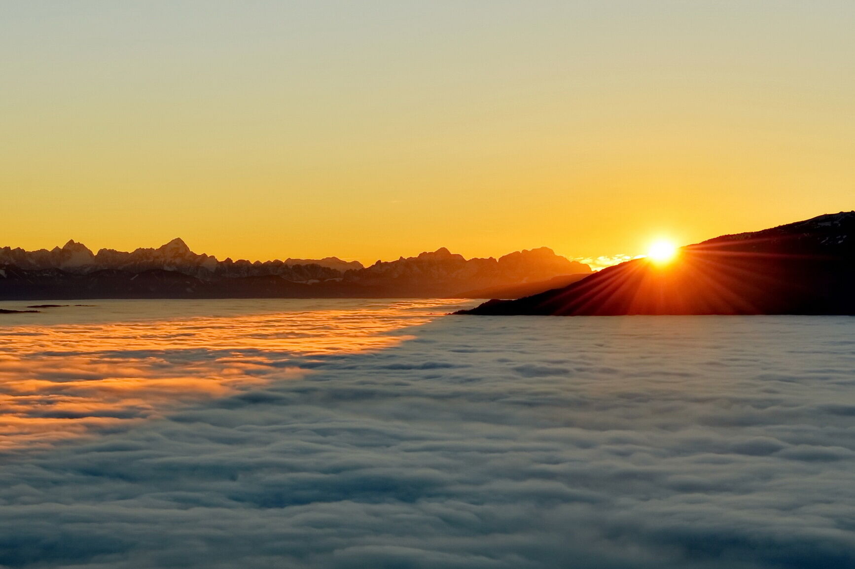
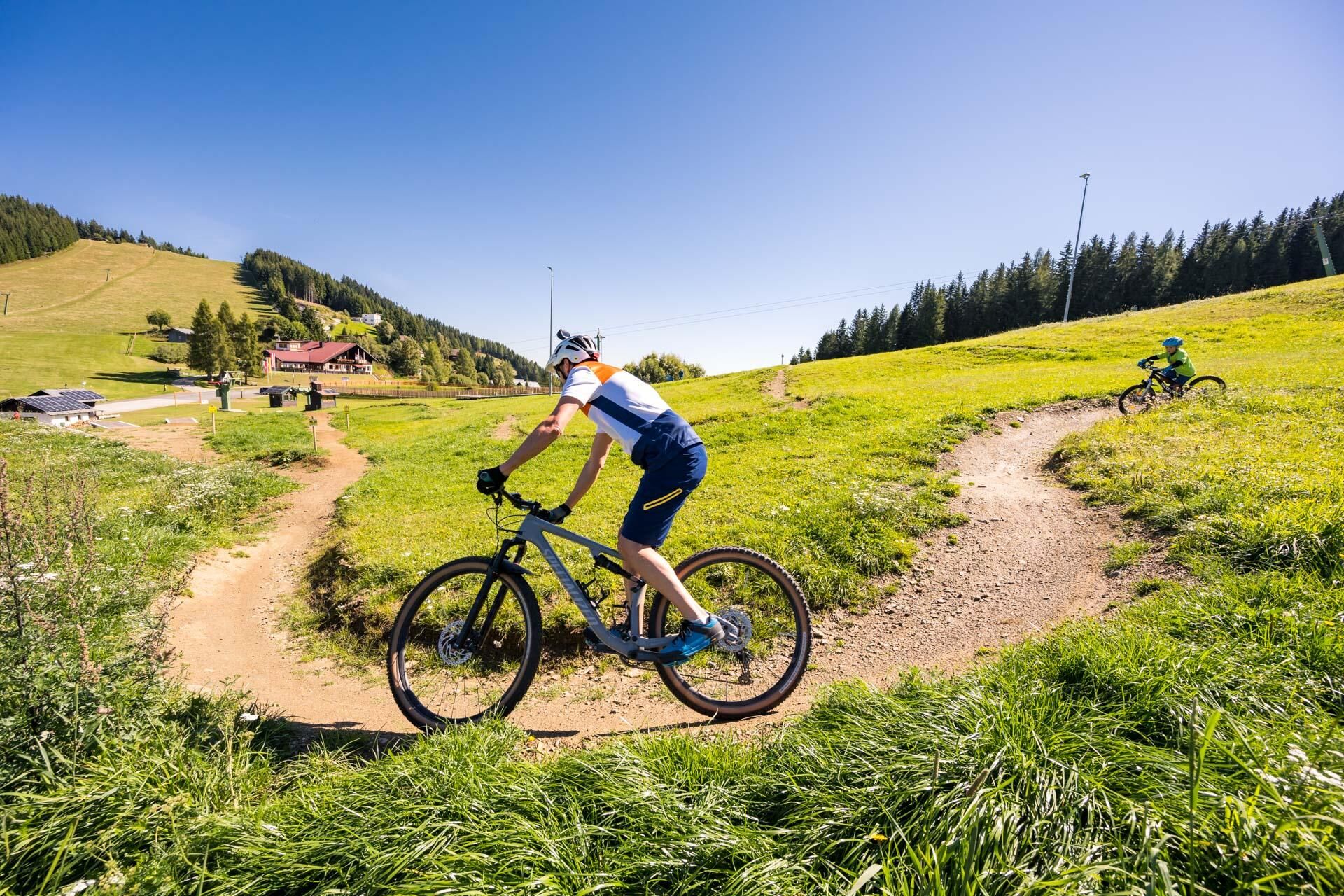
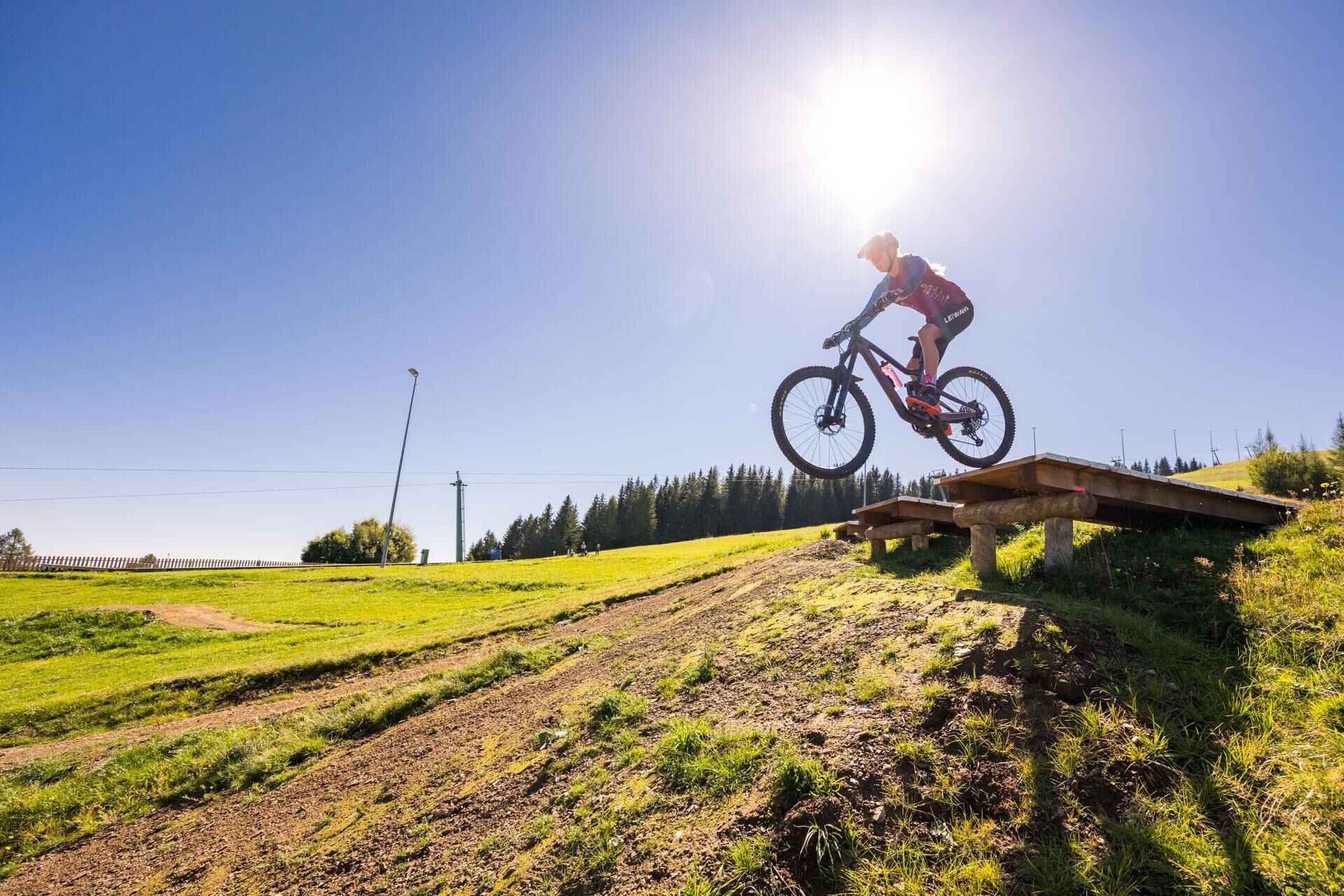
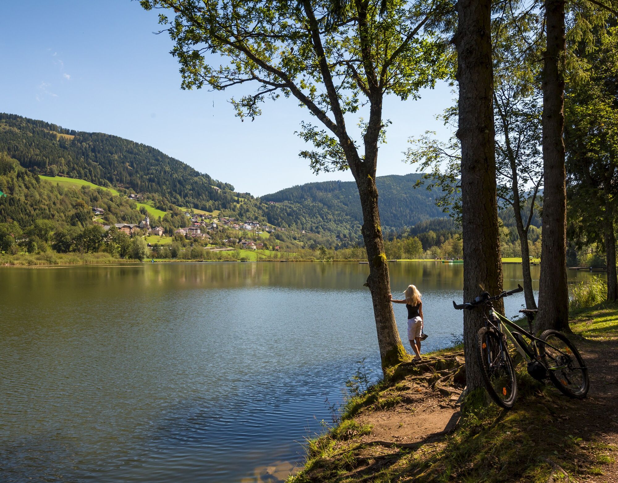
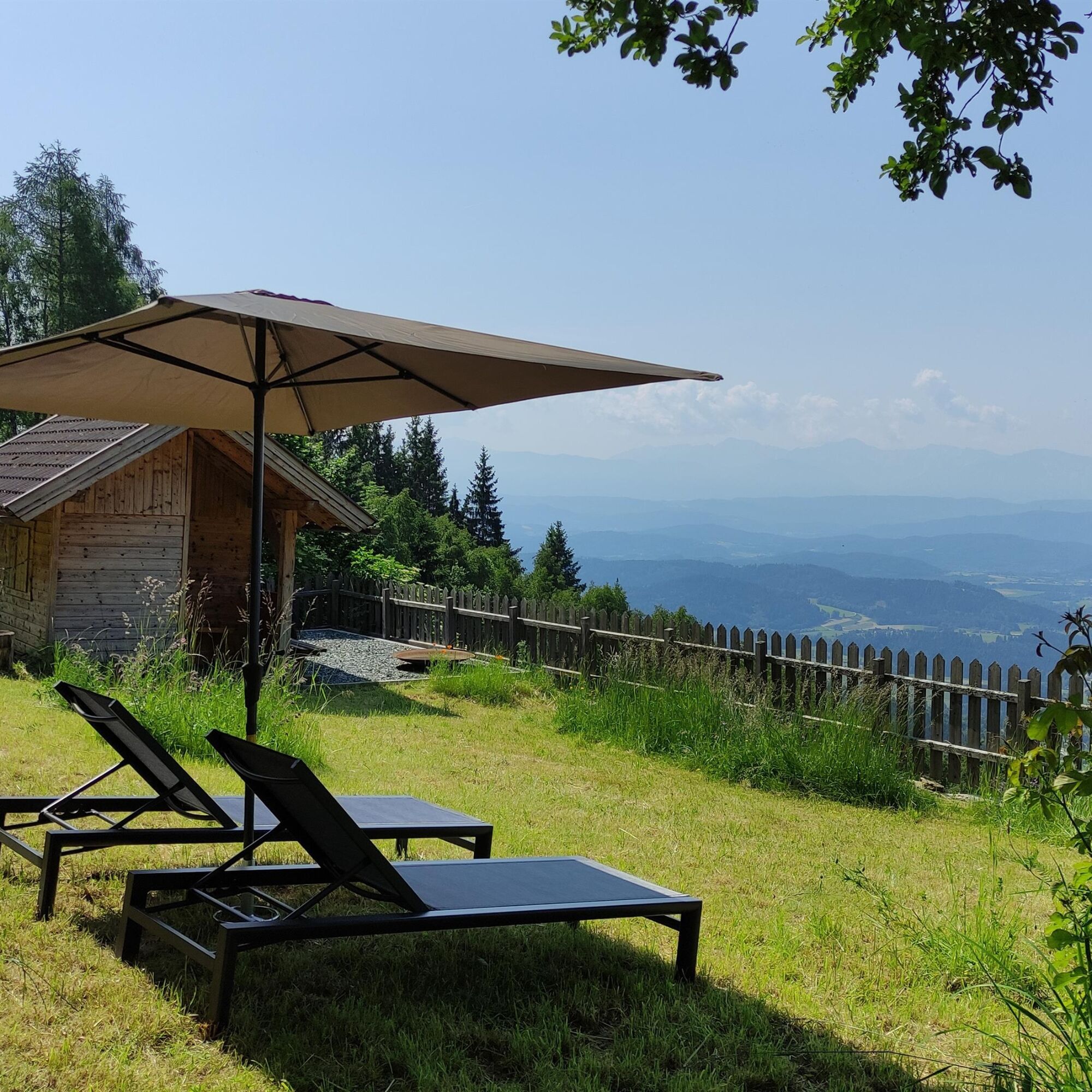
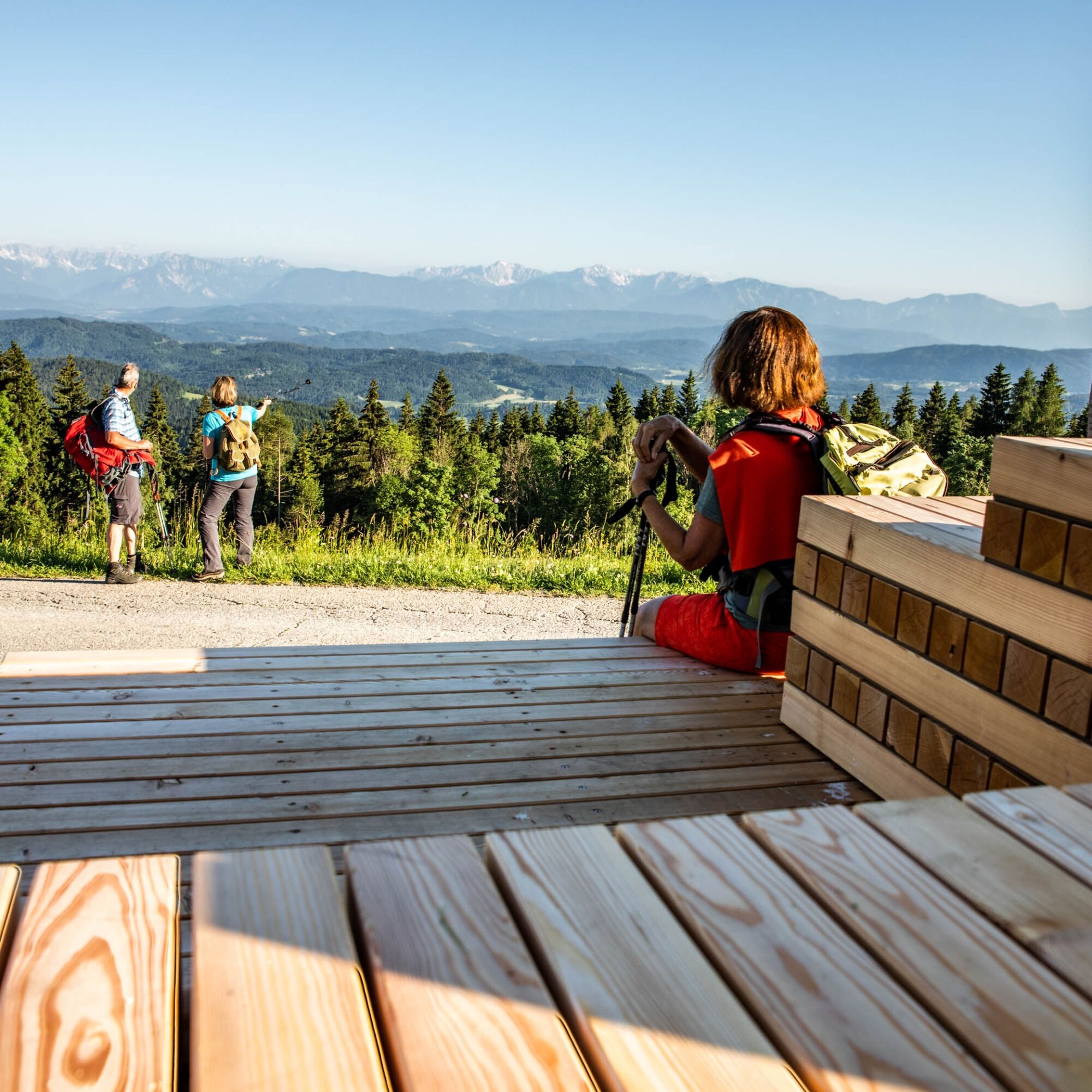

From the village square, the path leads below the Europa fountain to the west, past Bach Castle to Kleingradenegg. Here, a short stop at the Turkish Church with the "Marriage Stone" embedded in the masonry is worthwhile. At the Baumgartner road cross, turn right along Trenker Street heading north towards the villages of Trenk and Buggl in Bach. At the road cross in Buggl in Bach, turn left and then immediately right along the ascending path to Lawesen. The path continues east to Simonhöhe. After the company building, turn right and follow the lift line to the Hocheck summit (1340 m). From the summit, the path leads southwest through the forest down to the village of Gall. Follow Galler Street eastwards to Predlkreuz. There, turn right and hike through the Strakler farmstead back to the village square in St. Urban.
Good hiking shoes, hiking poles, and sufficient drinking water recommended.
Be well prepared, well equipped, observe the weather, do not leave the marked paths, keep away from grazing livestock
Herold route planner:
www.herold.at/routeplanner
ÖBB timetable information:
www.oebb.at/en/timetable/timetable-information
Parking available
https://regio.outdooractive.com/oar-mittelkaernten/en/
Enjoy the ski mountain Simonhöhe also in summer and taste the products of the region at the refreshment stops!

Spletne kamere s turneje
Pridobite vpogled
Vedno v živo na mestu z več kot 9.500 spletnimi kamerami. bergfex Kot uporabnik Pro si lahko zdaj ogledate ustrezne spletne kamere za številne izlete v aplikaciji izleti iz. Tako si lahko neposredno ogledate trenutne razmere.

Priljubljeni izleti v okolici
-
4.5
Hoher Gallin route
srednjaPohodništvo 7.09 km -
4.8
Abenteuer-Wasser-Weg
srednjaPohodništvo 9.13 km -
4.7
Vierbergelauf
srednjaRomarska pot 47.6 km -
4.1
Slow Trail Bleistätter Moor (Variant A)
svetlobaPohodništvo 7.22 km -
4.6
Ulrichsberg
svetlobaPohodništvo 5.60 km -
4.0
Lake Ossiacher See cycle path – R2 & R2A
srednjaKolesarjenje 28.2 km -
4.9
Slow Trail Maltschacher See - long route
svetlobaTematska pot 7.04 km -
4.0
Natural spectacle Tiebel springs - Himmelberg
Pohodništvo 9.84 km -
4.4
Wanderung Hoher Gallin lt. Feldkirchner Stadtplan Weg Nr. 4
srednjaPohodništvo 10.9 km -
4.6
Vier Gipfel, ein Wanderhimmel - Himmelberg
Pohodništvo 22.9 km
Pohodništvo in sledenje


Ne zamudite ponudb in navdiha za naslednje počitnice
Vaš e-poštni naslov je bil dodan na poštni seznam.





