







Dobratsch - North ascent - normal route

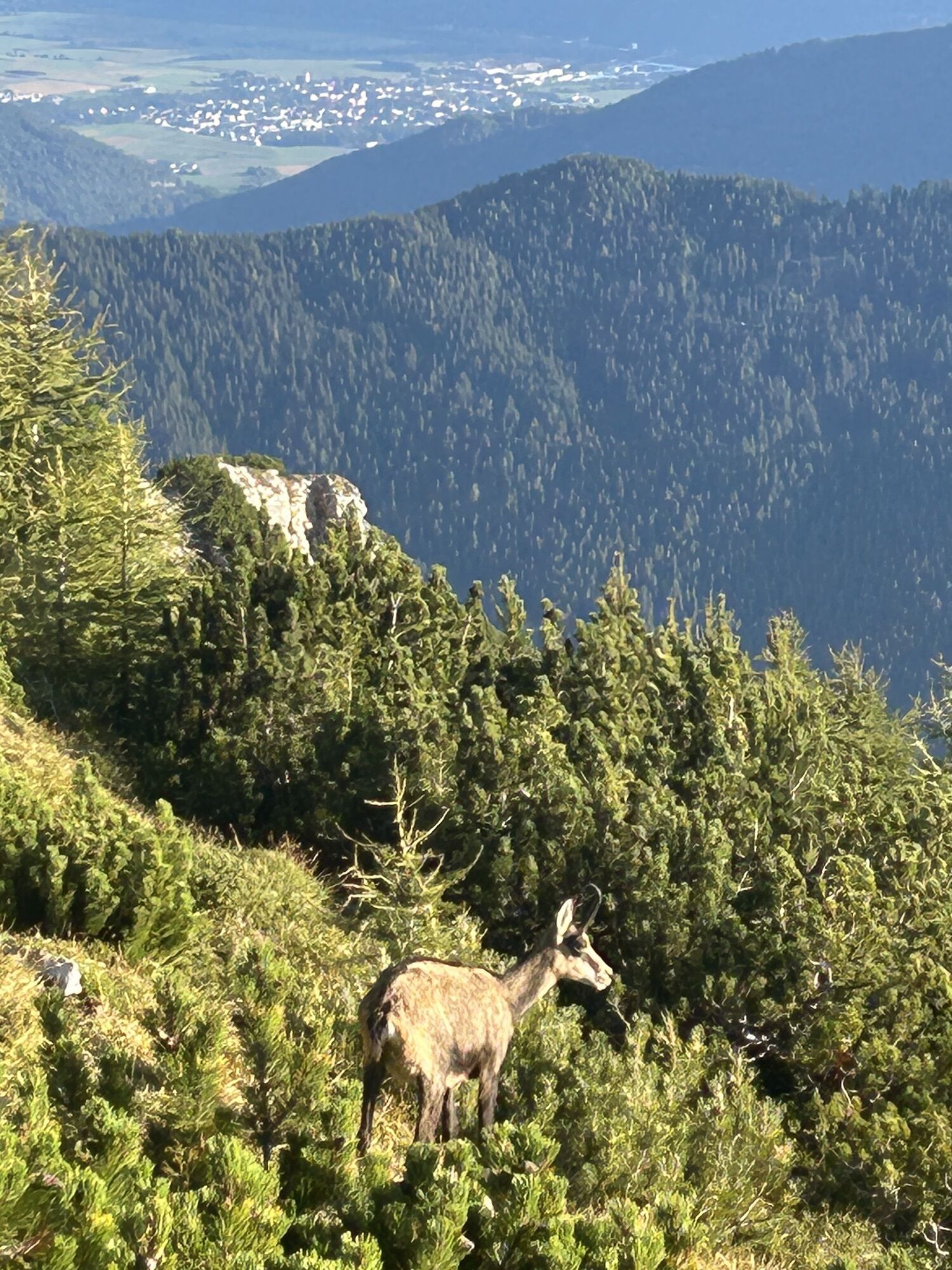
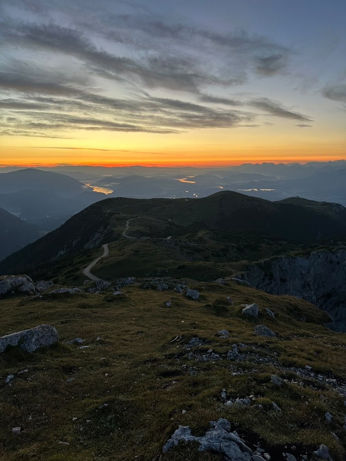
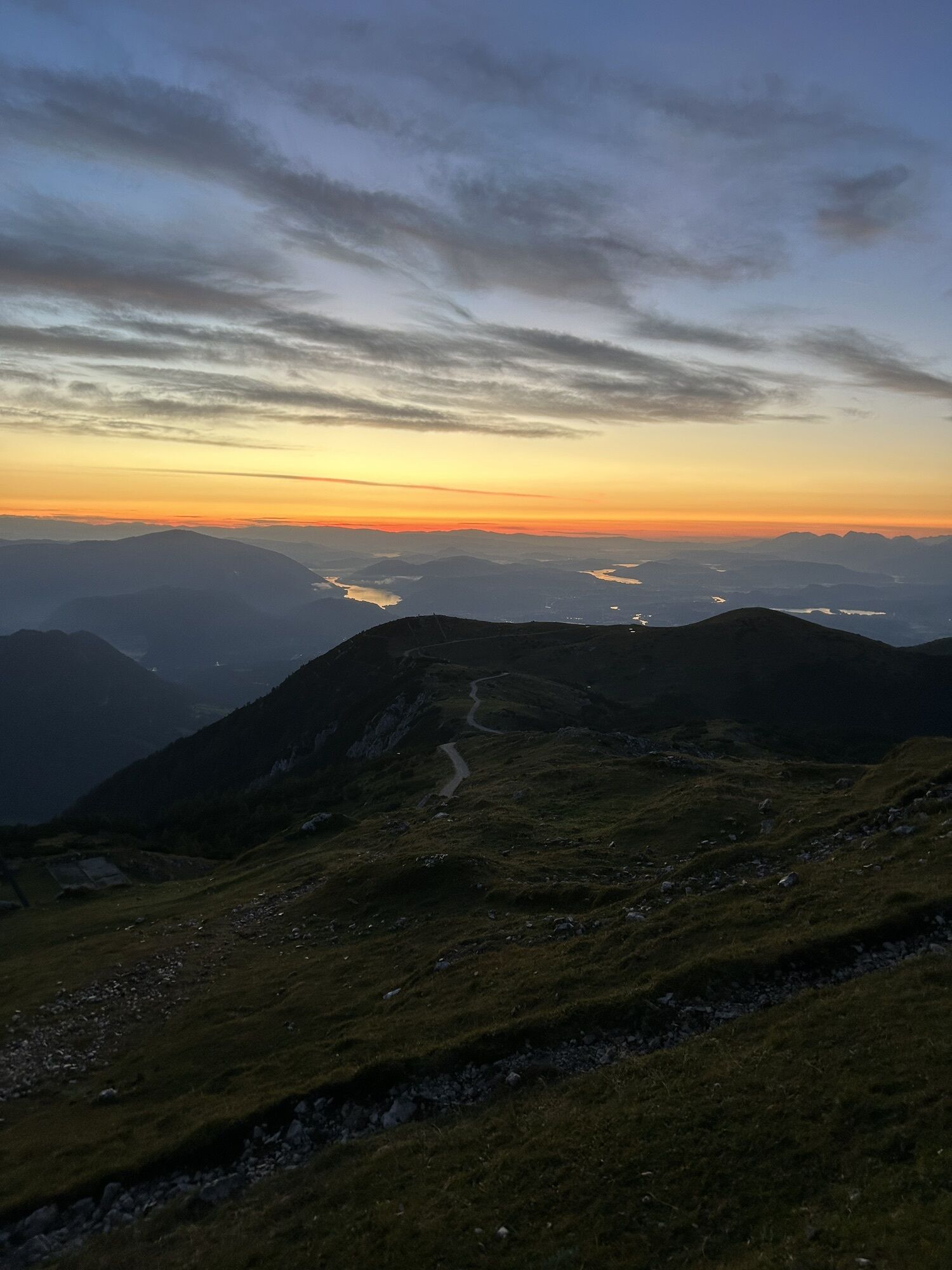
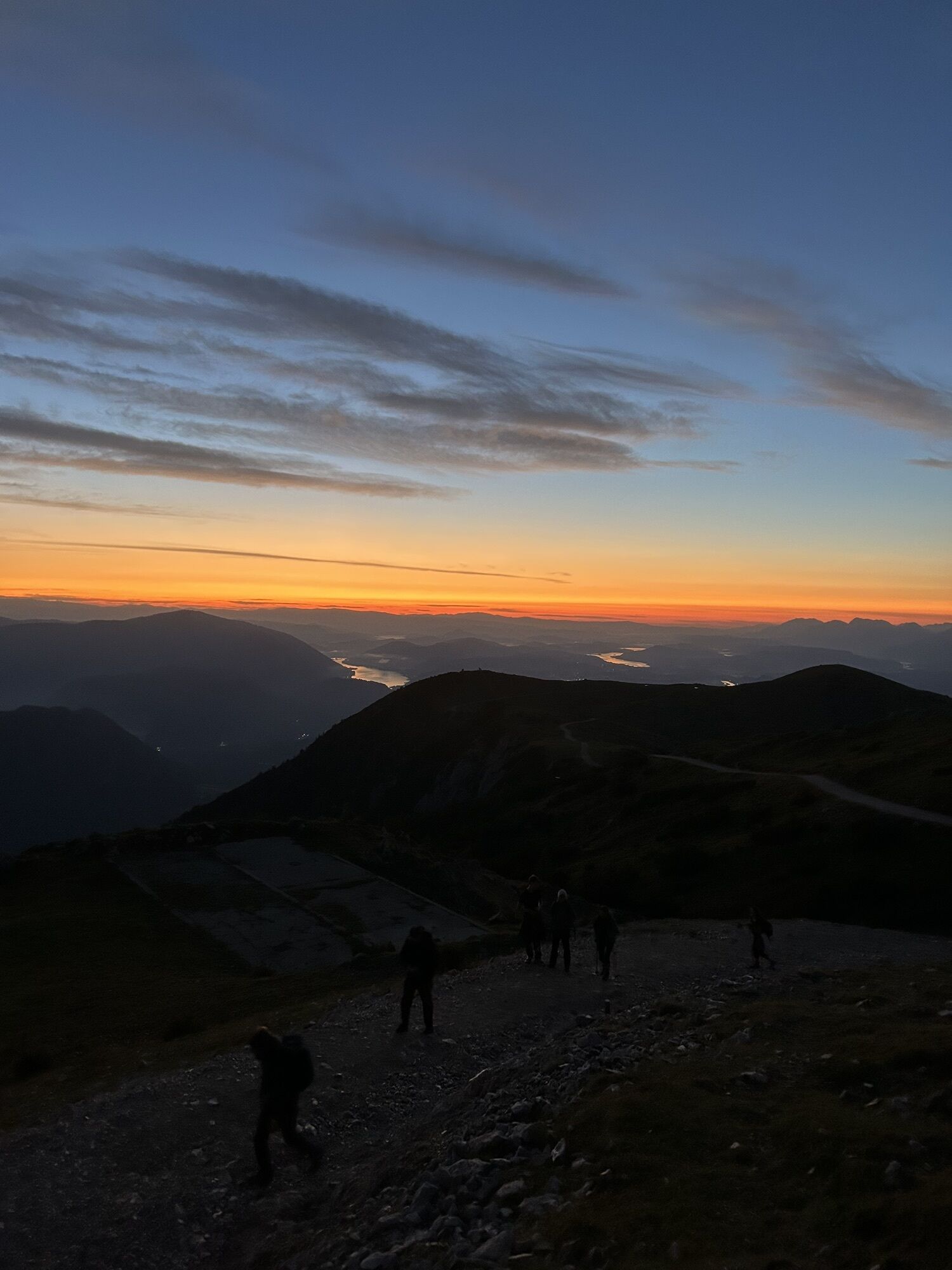
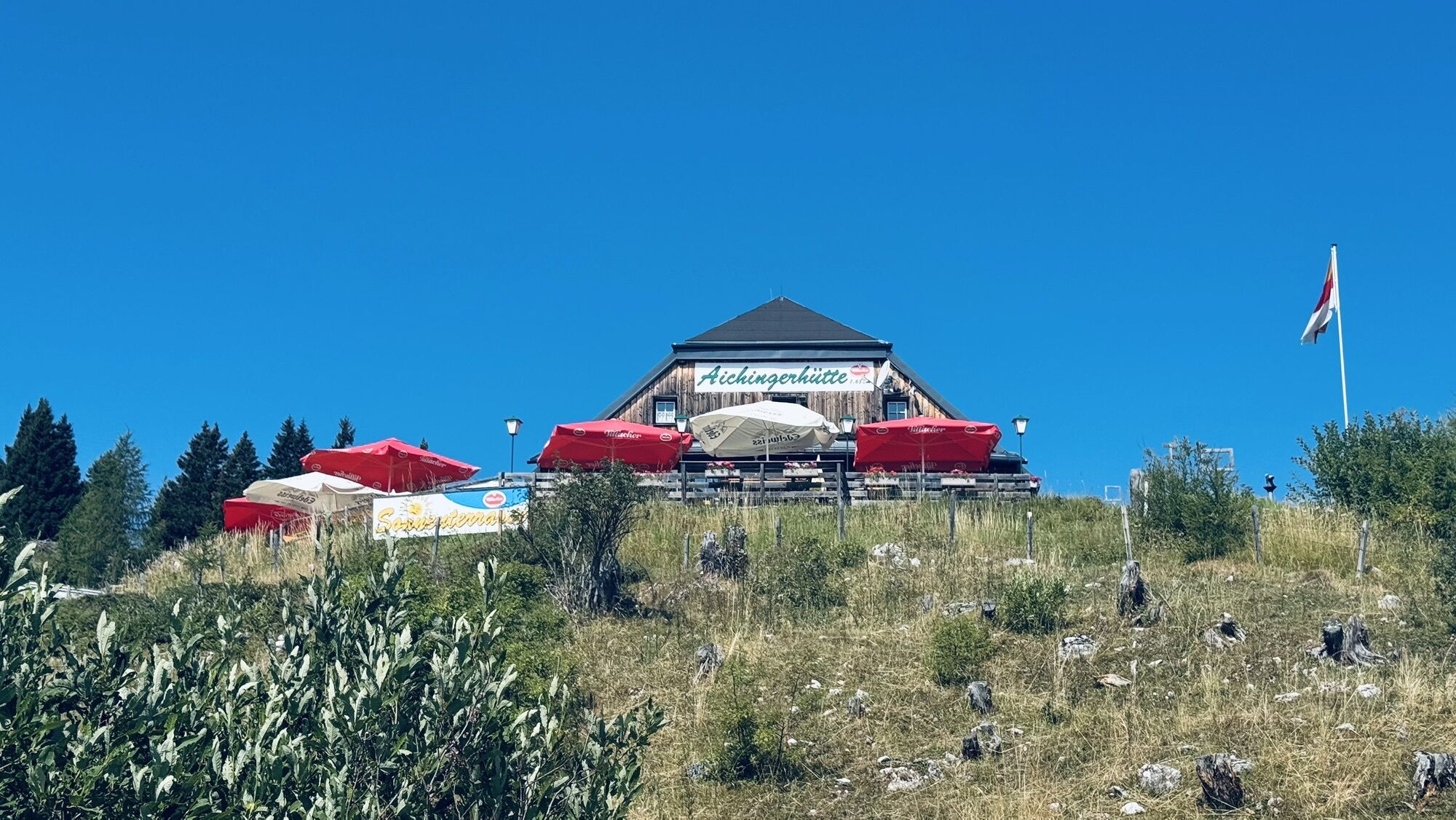

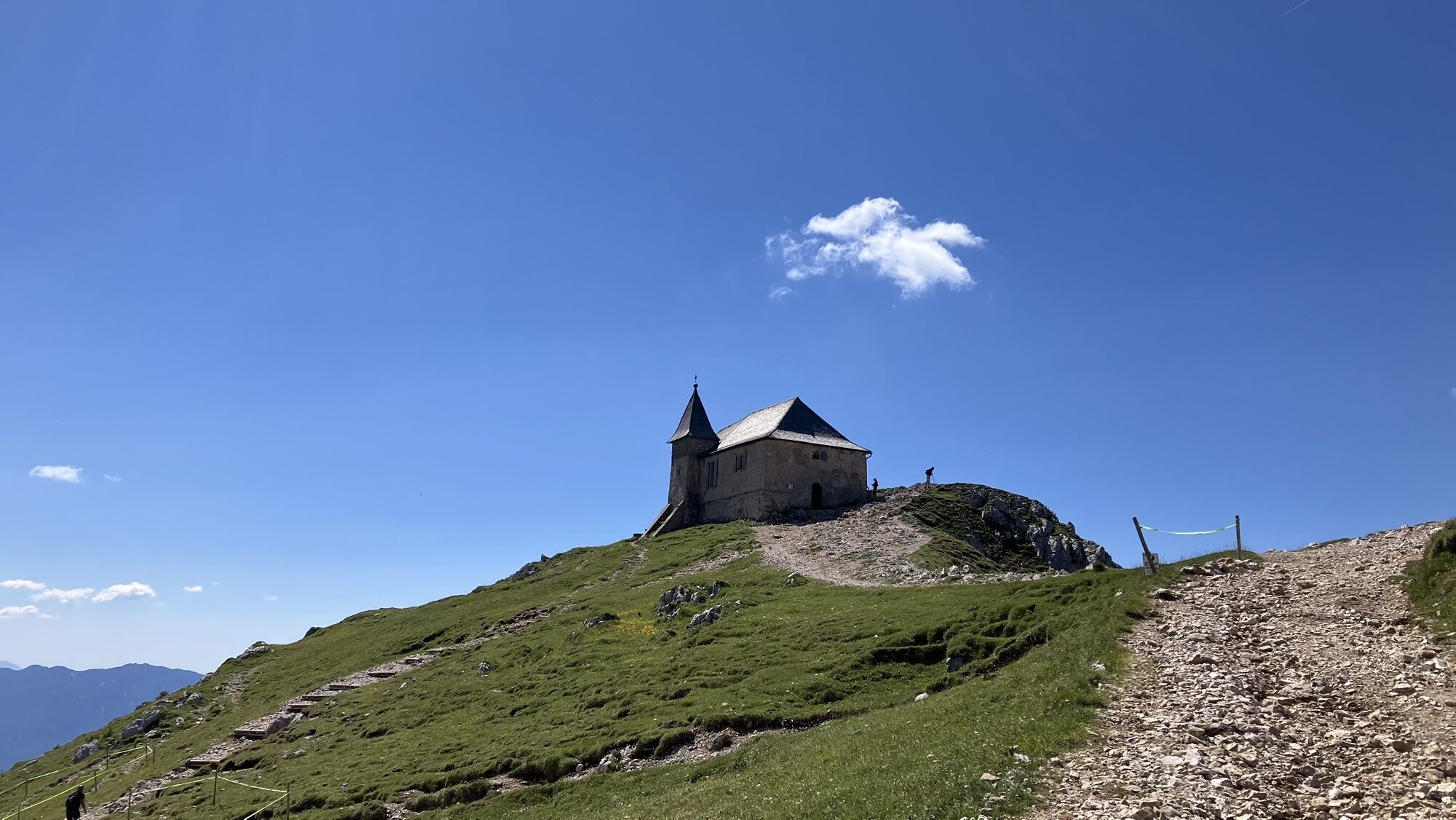
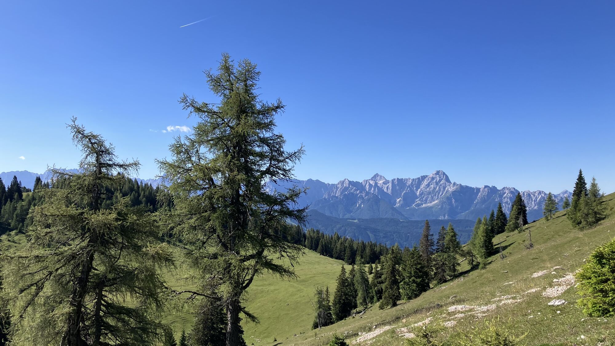
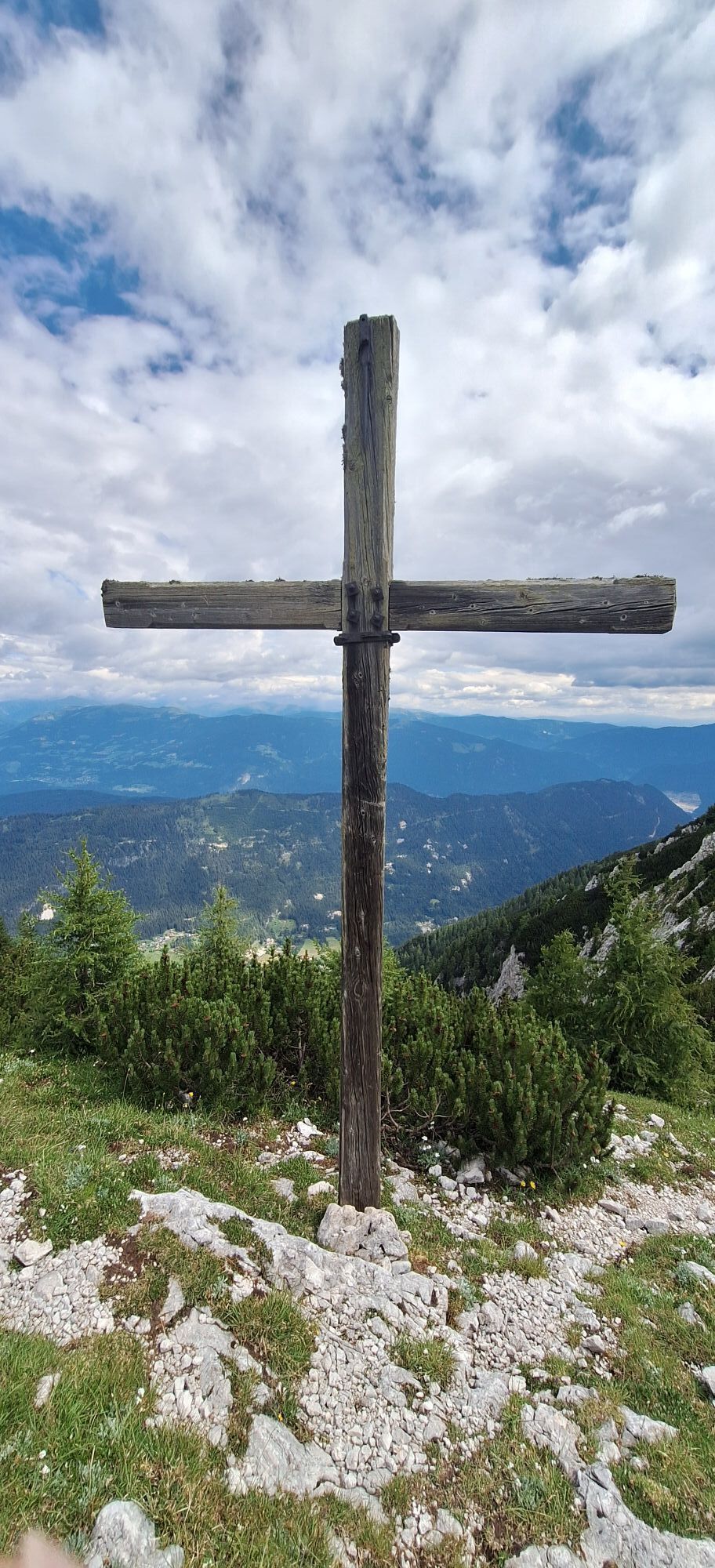
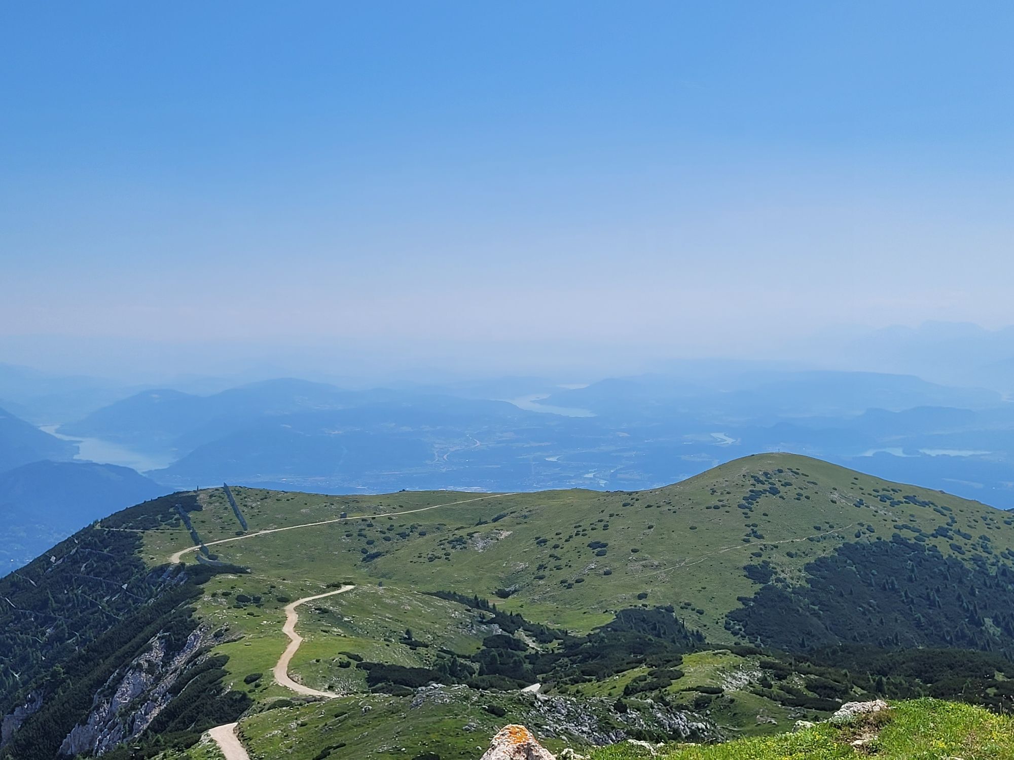
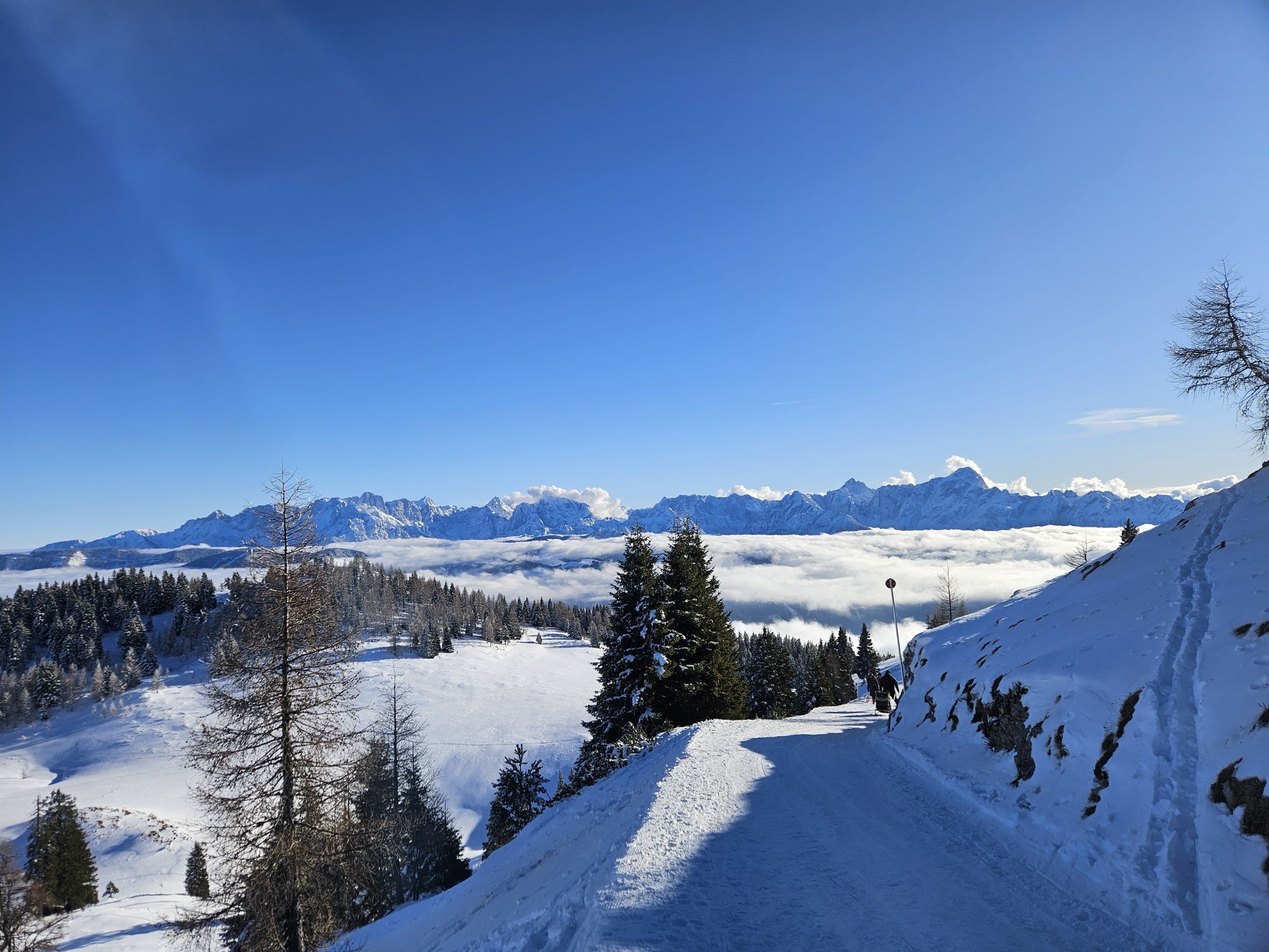
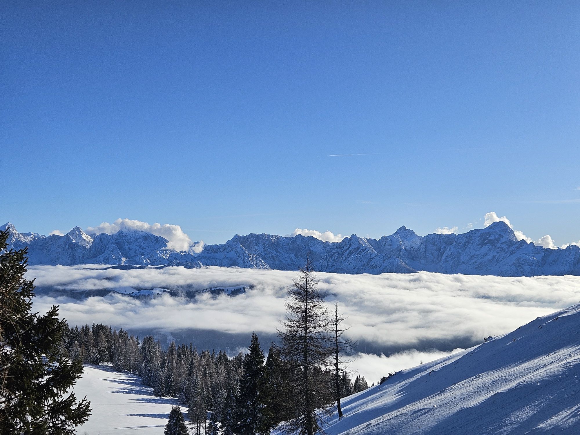
This hike leads from the spa town Bad Bleiberg up to the Aichinger Hut.
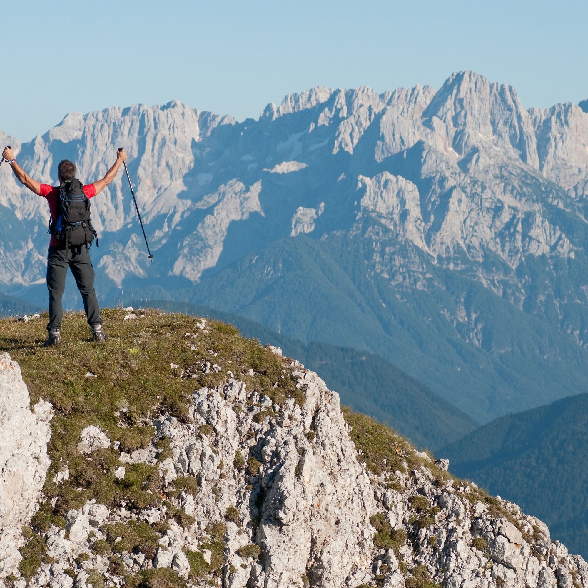
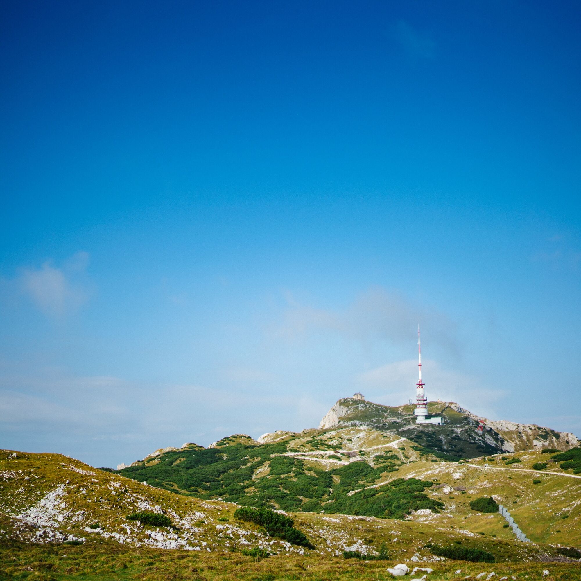
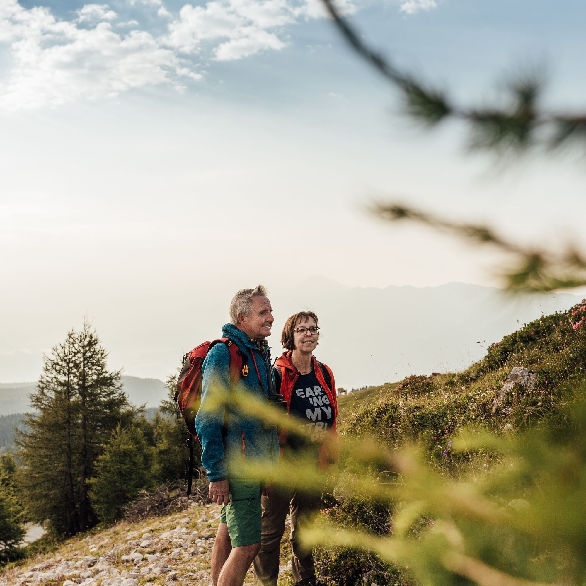
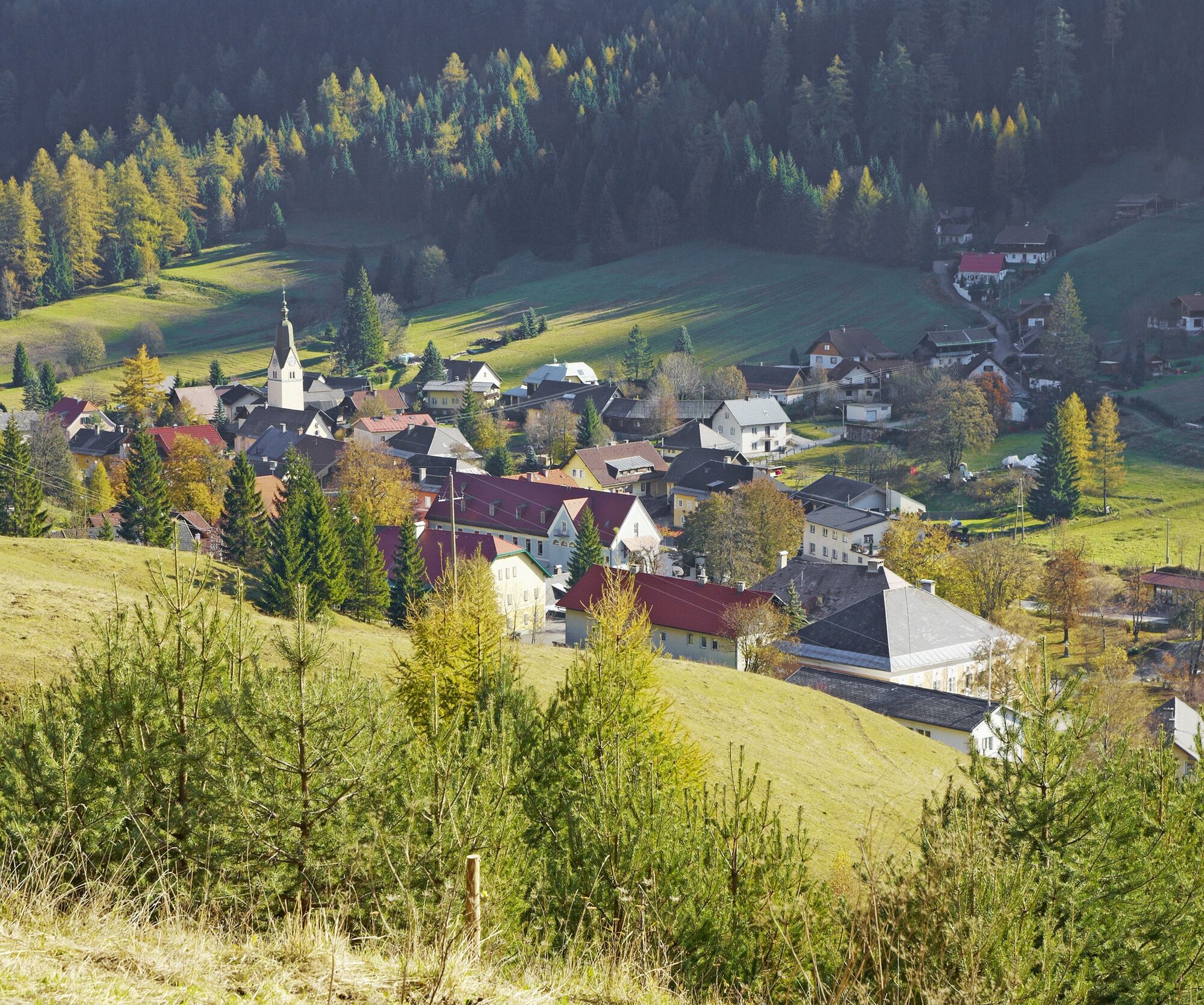
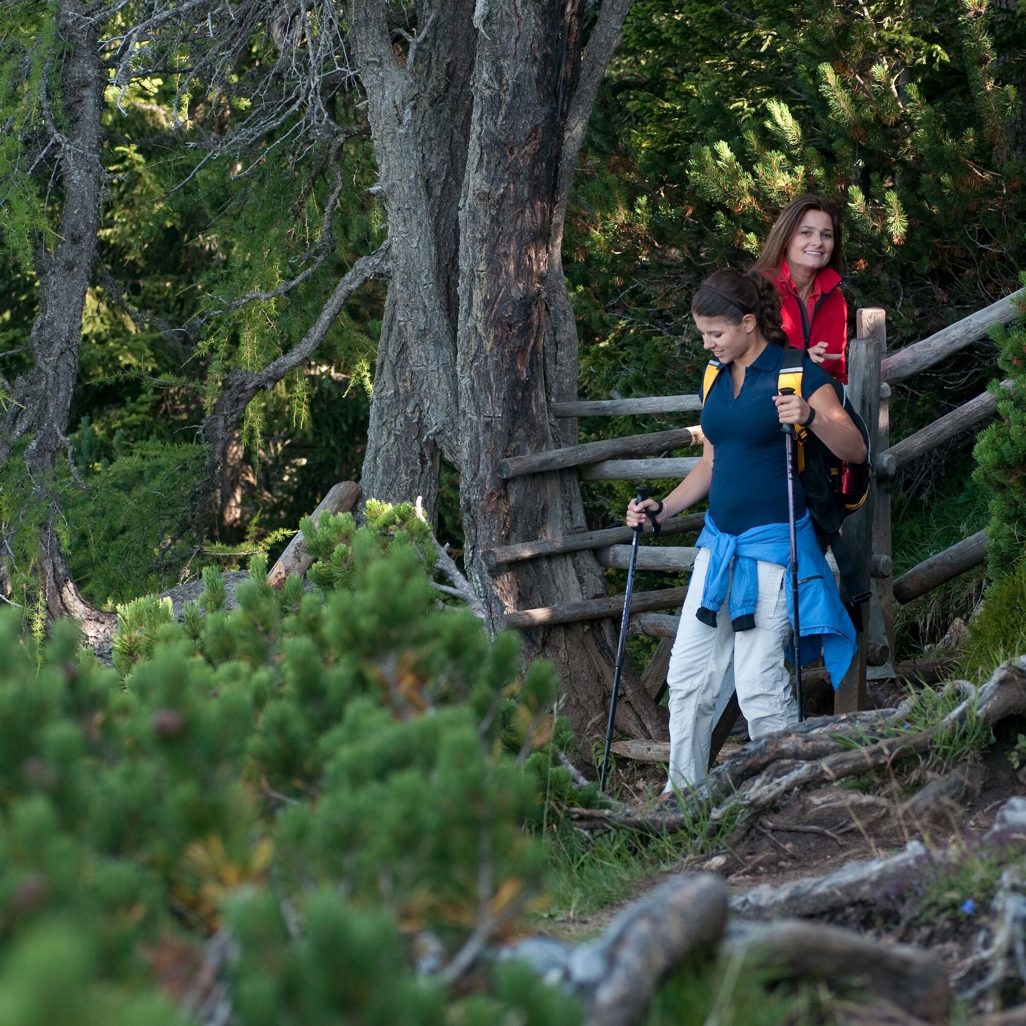

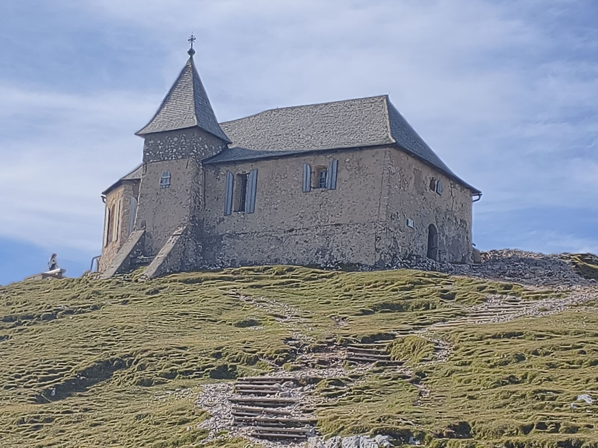
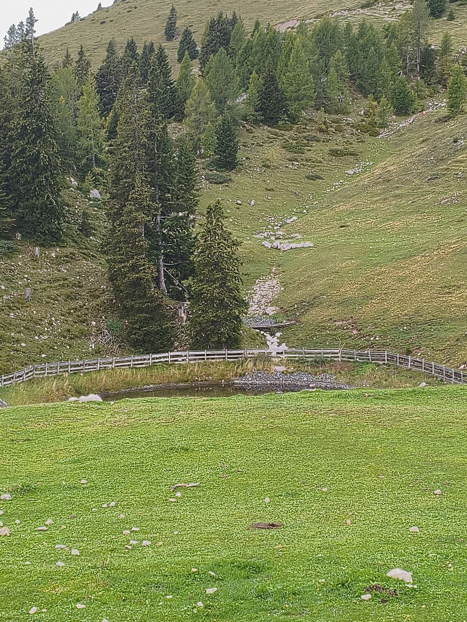
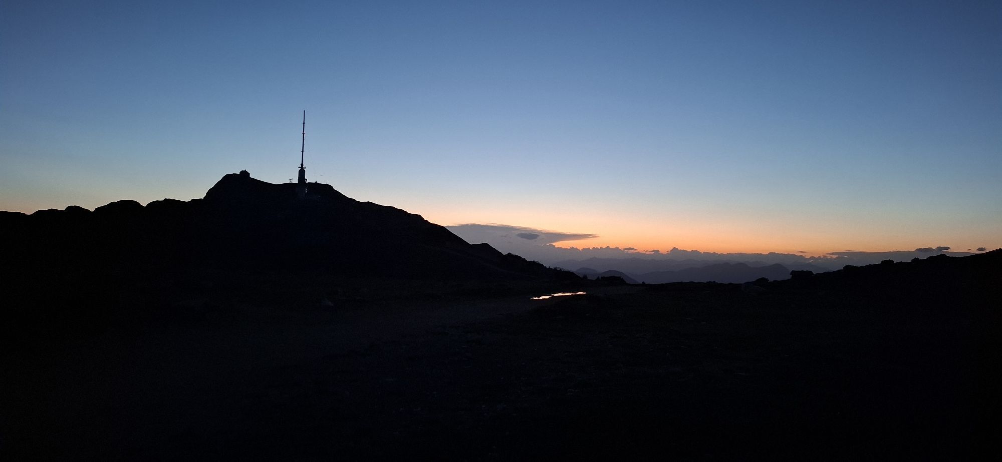
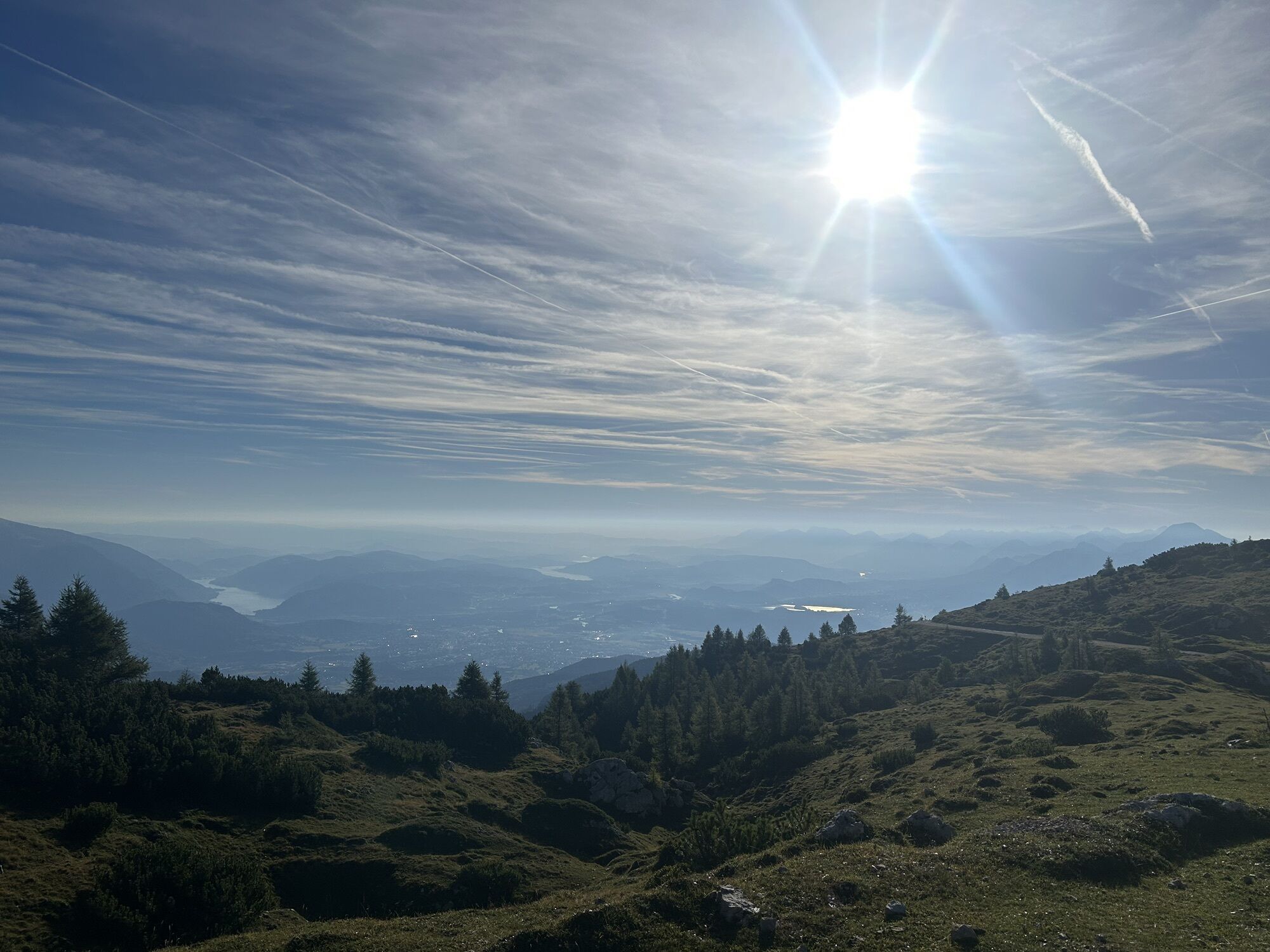
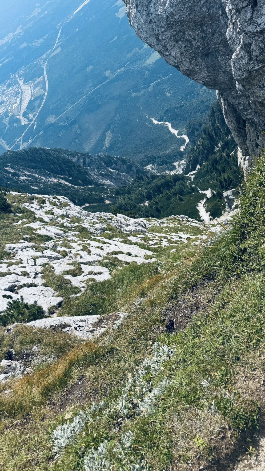
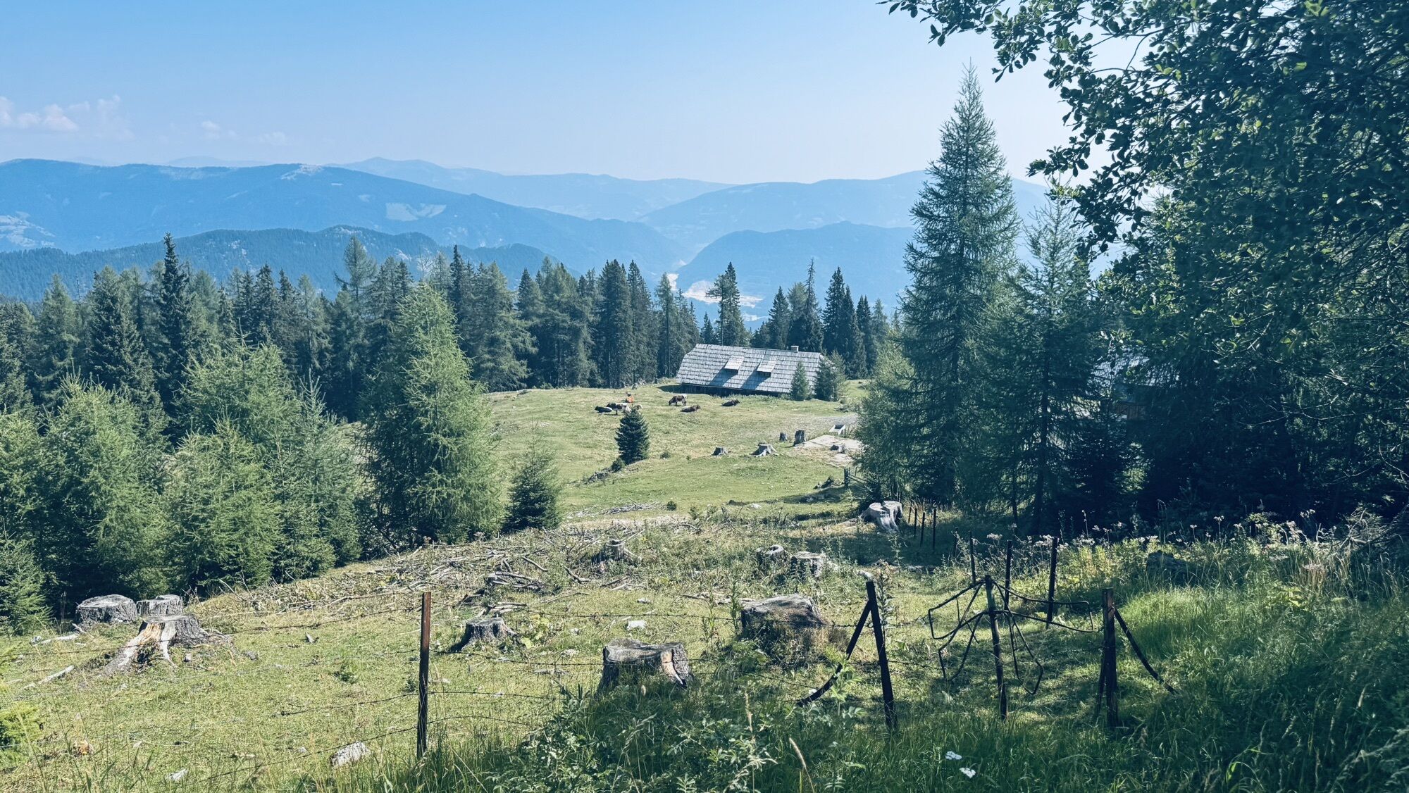
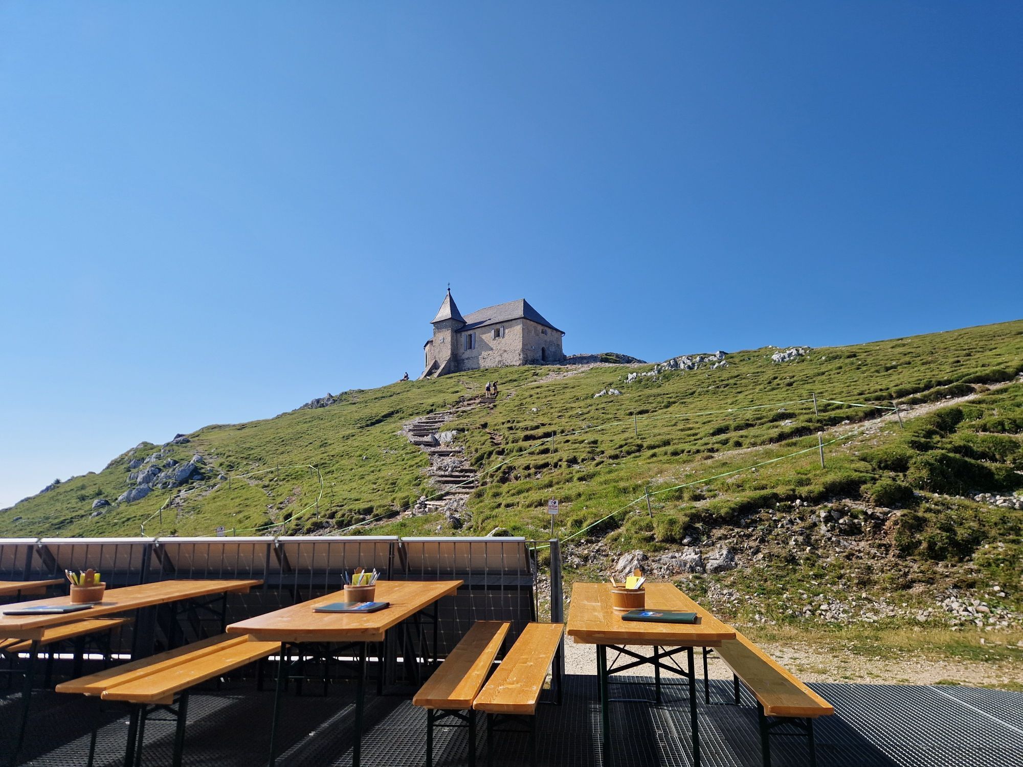
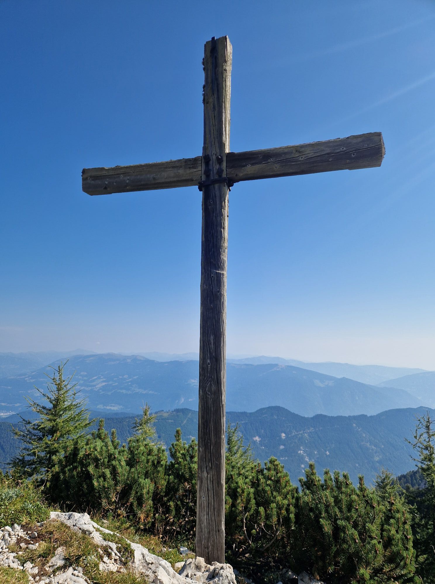
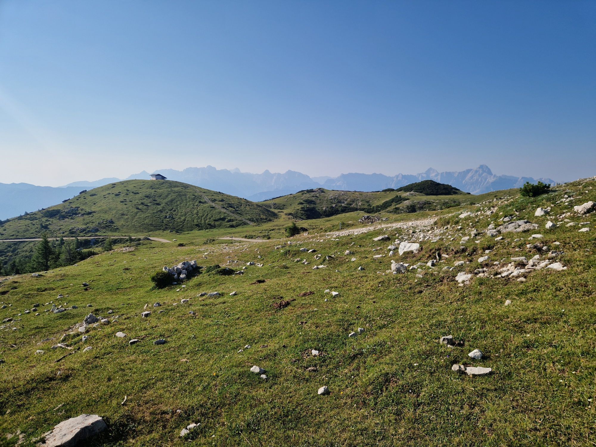
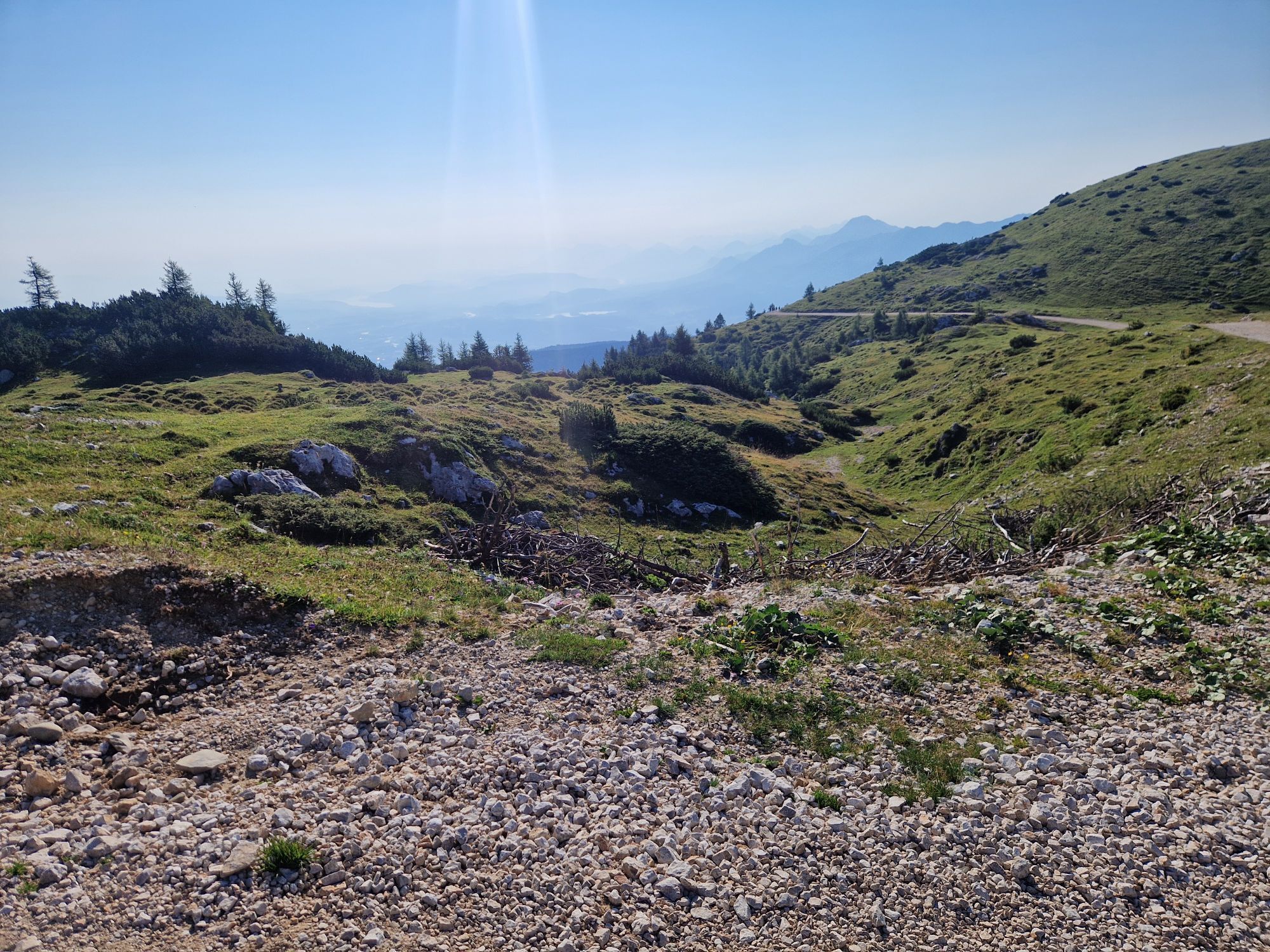
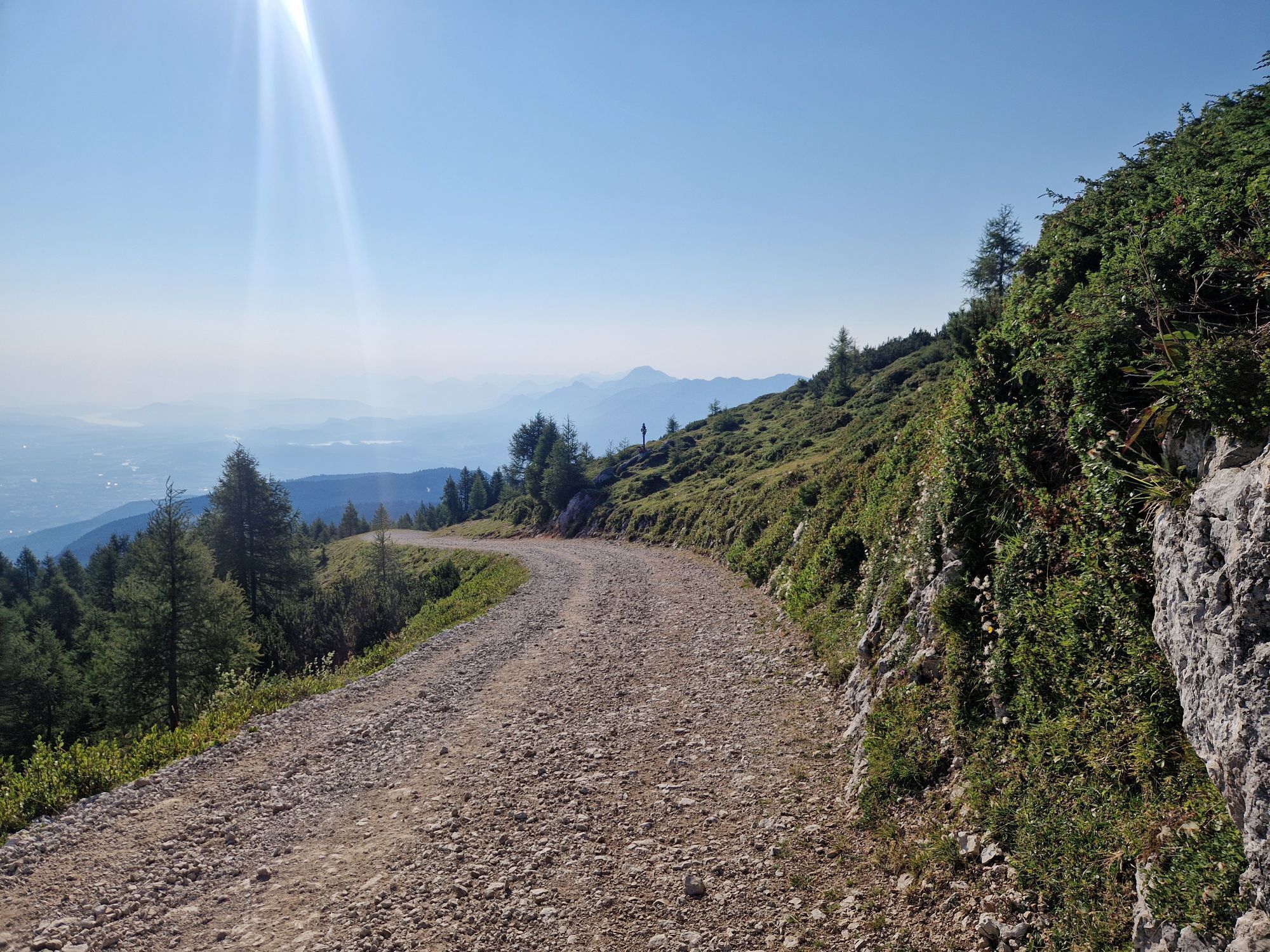
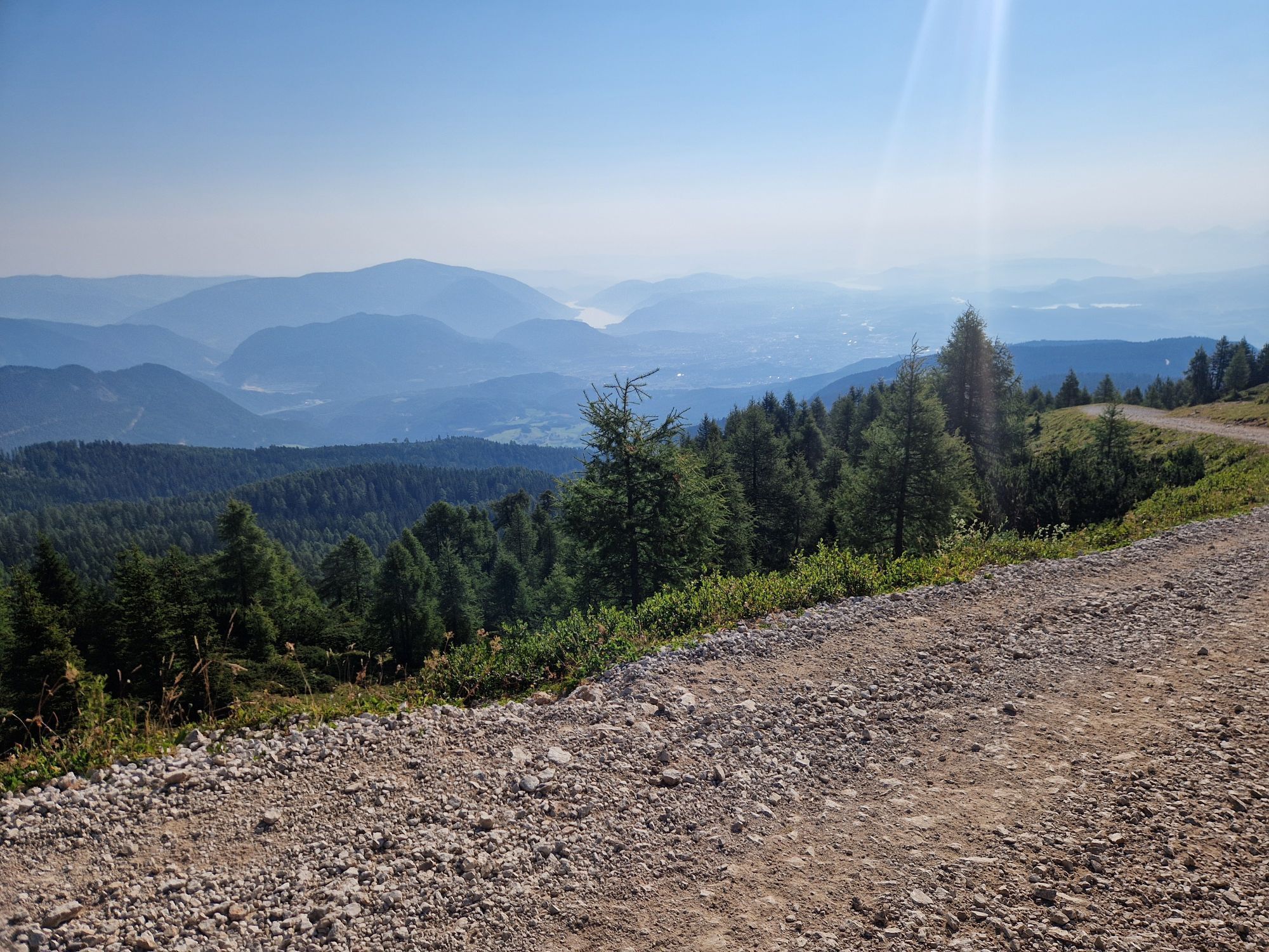
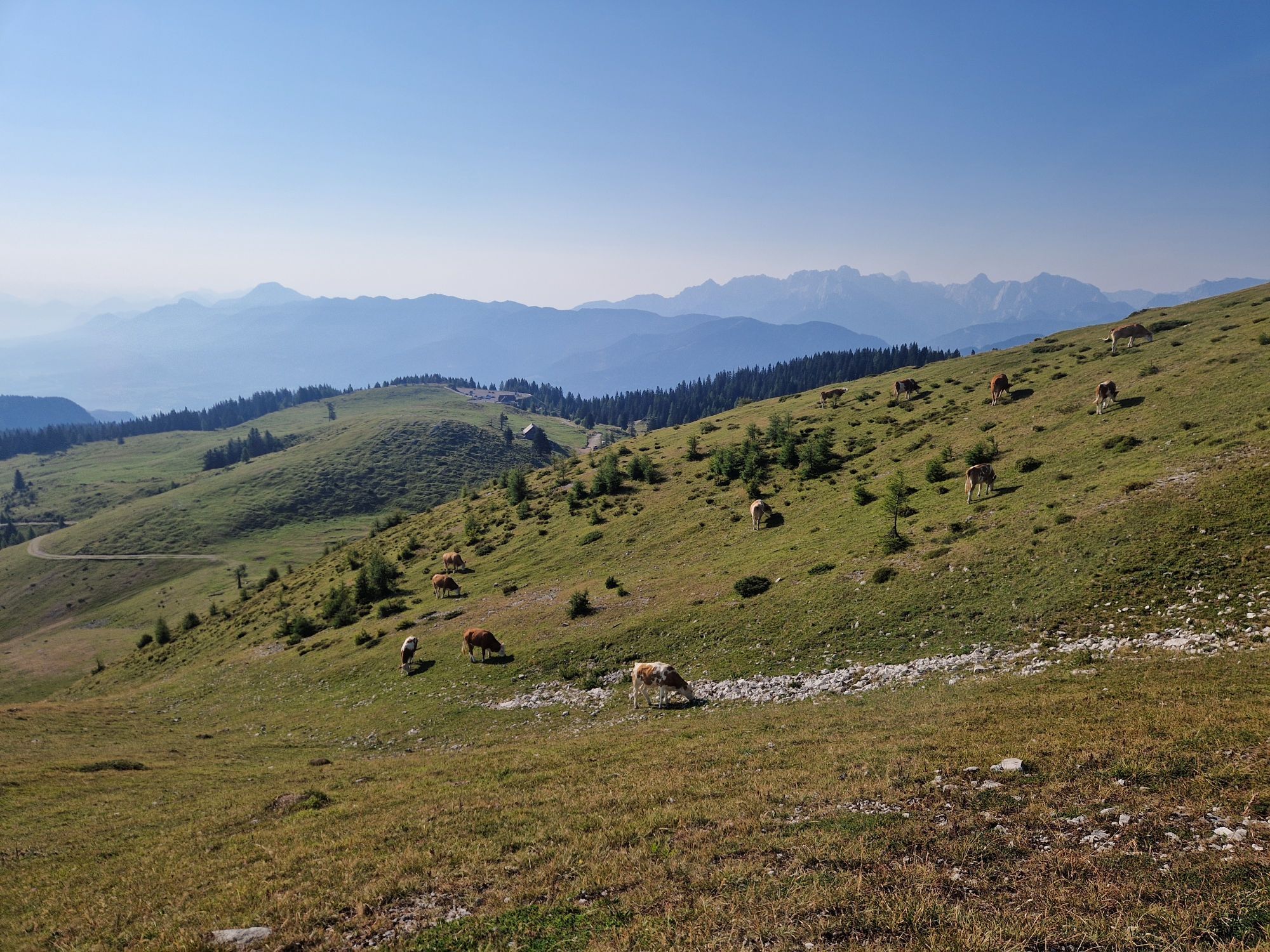
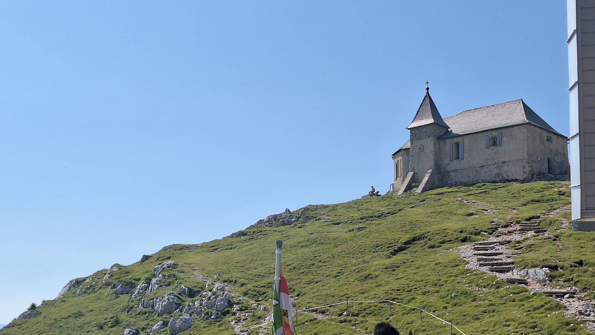
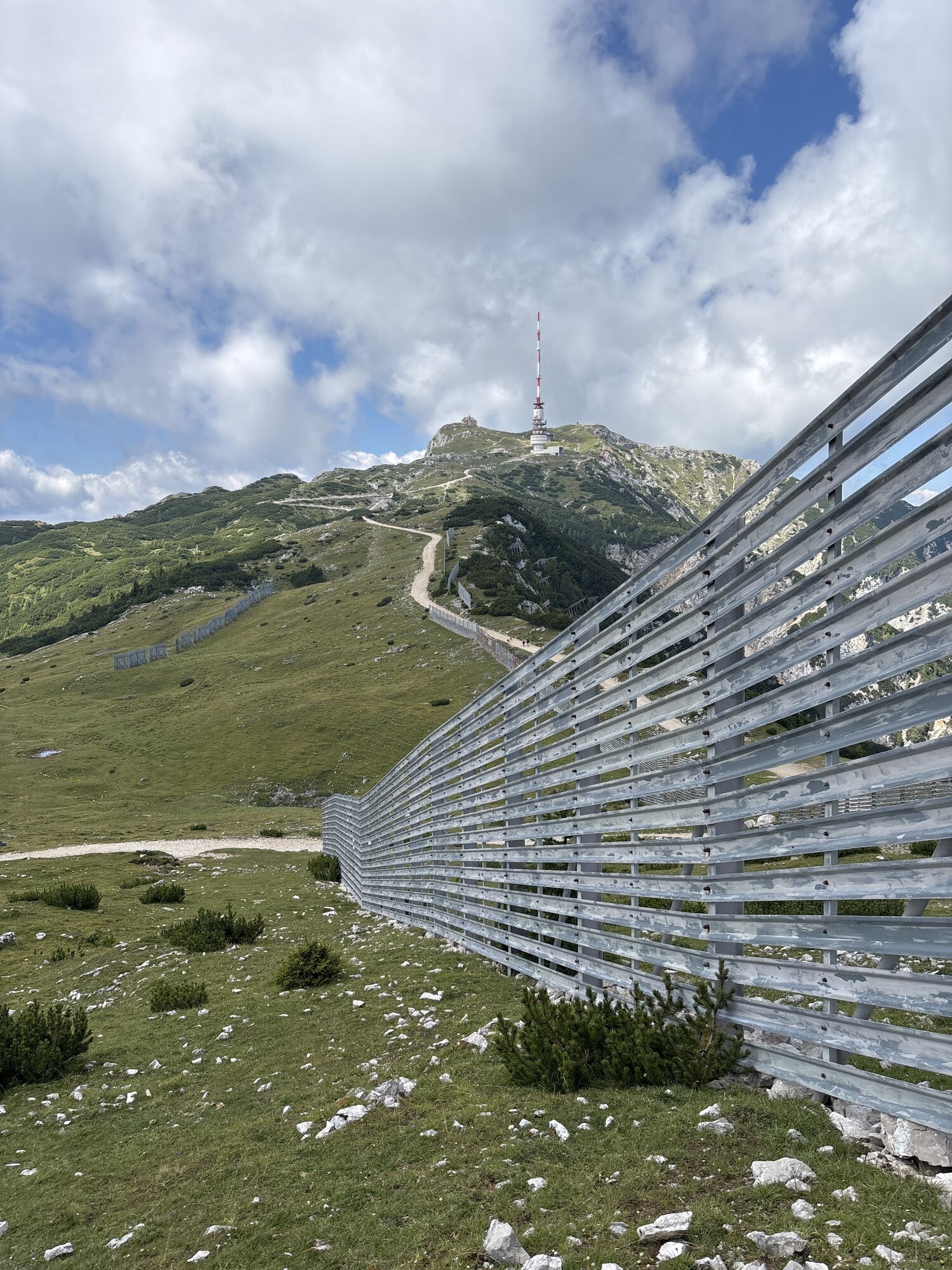
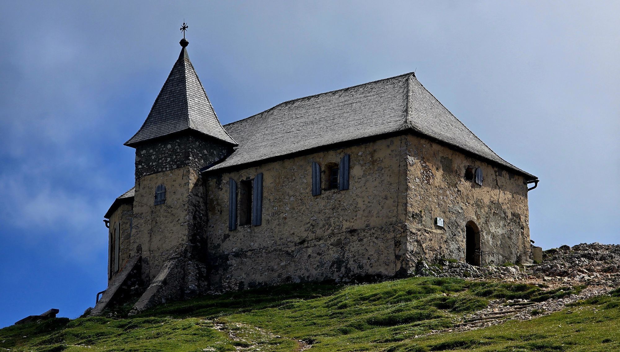
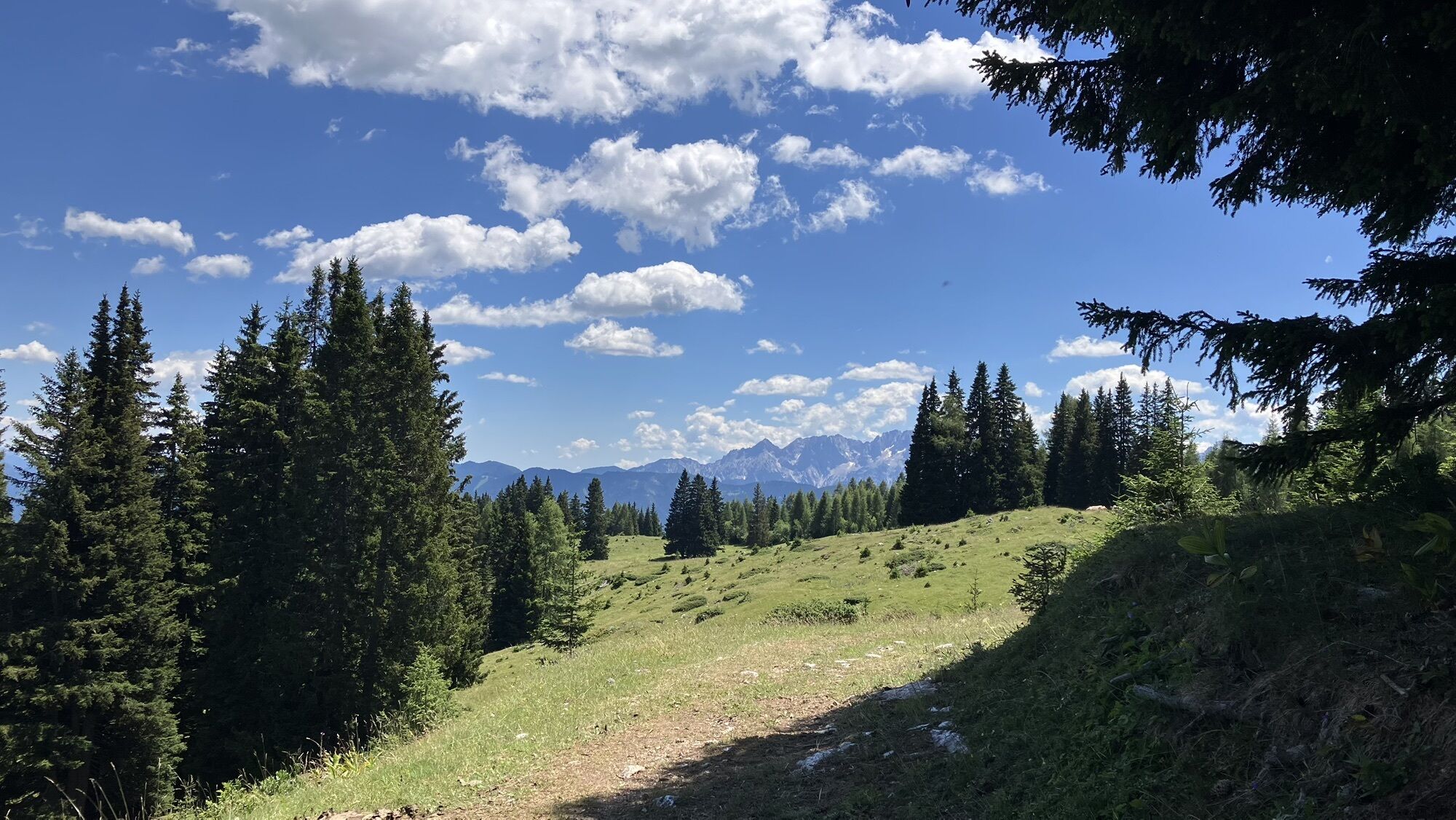
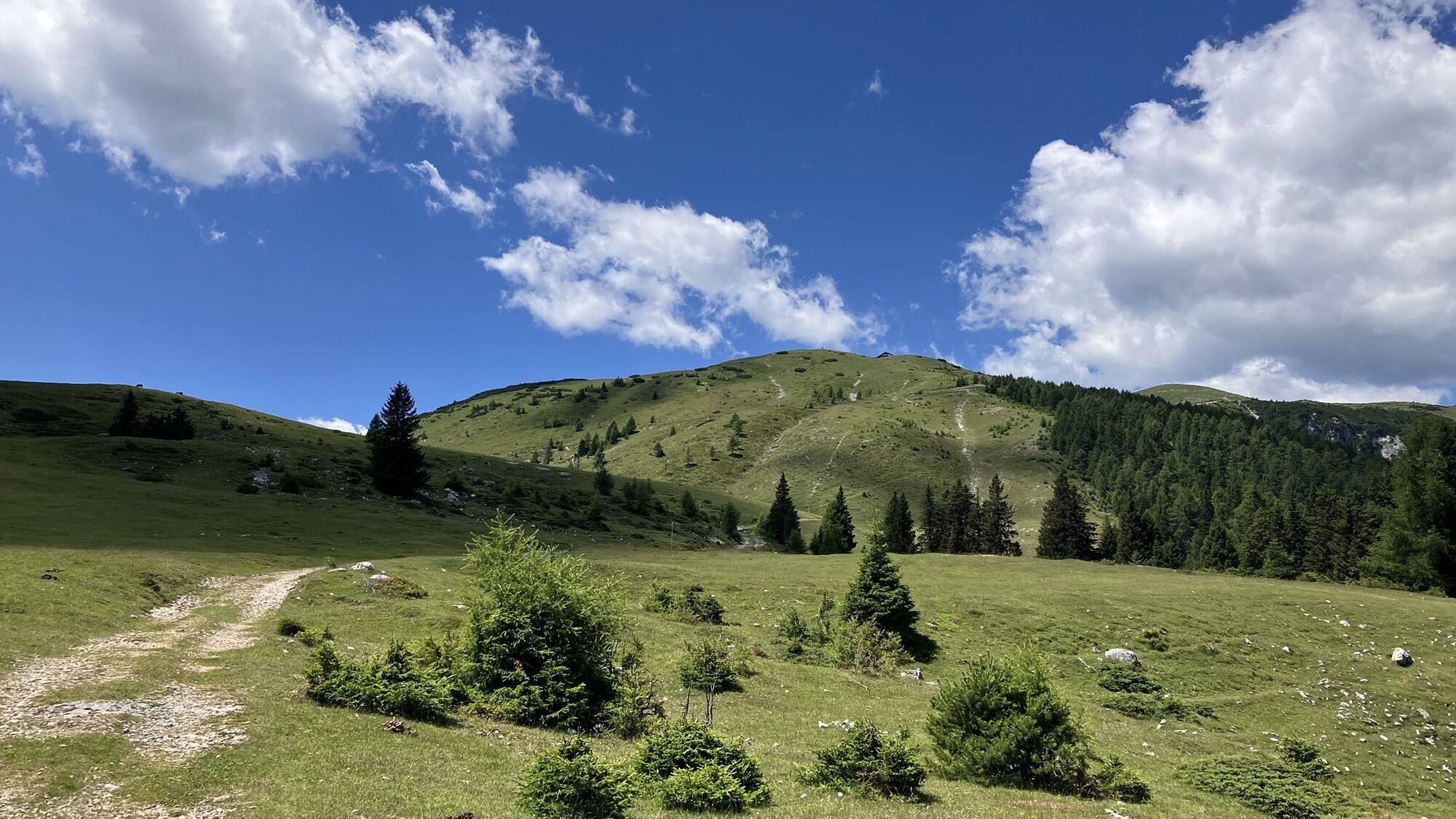
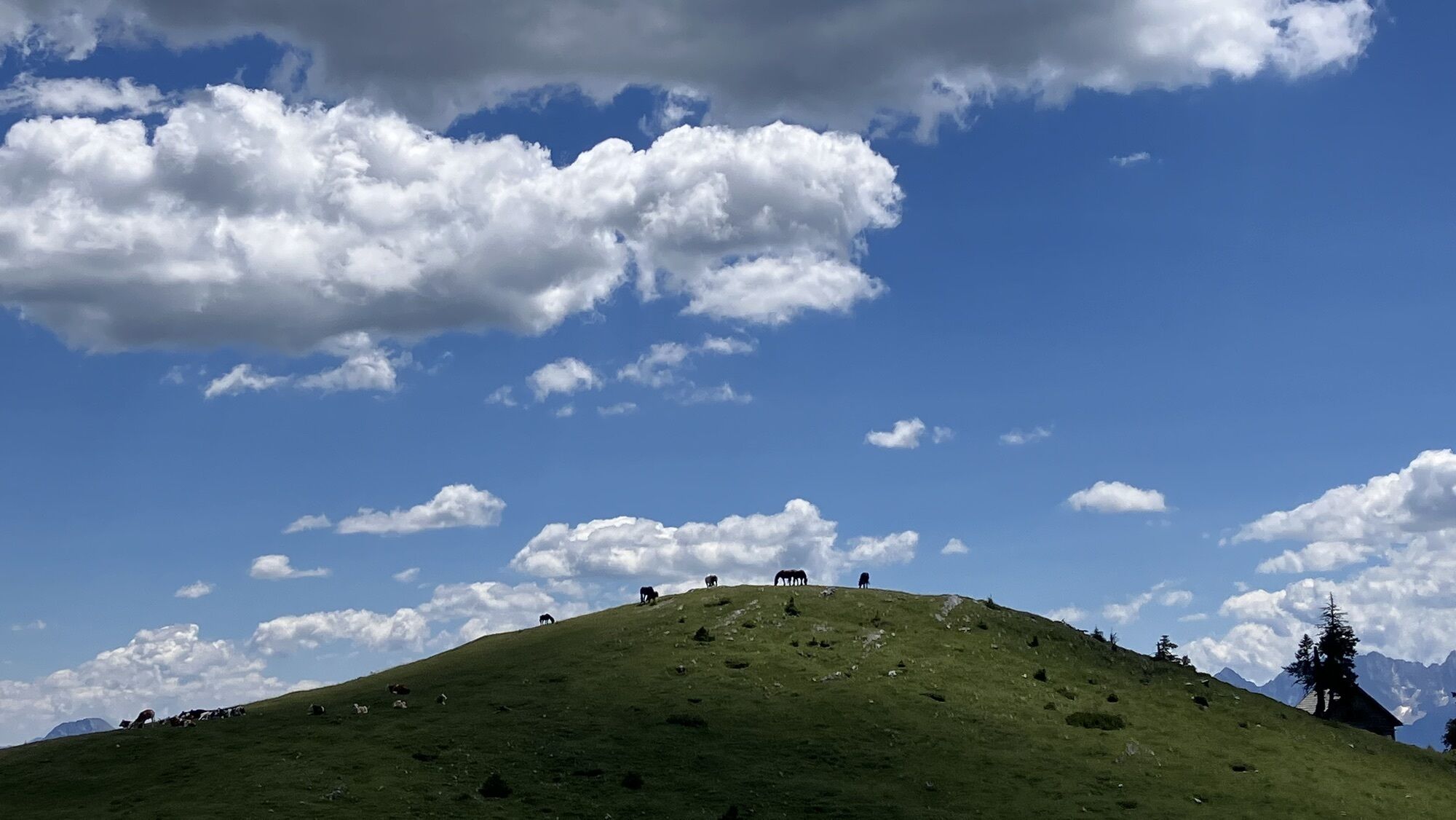
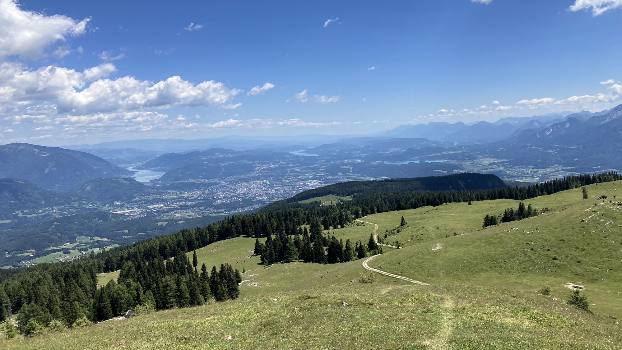
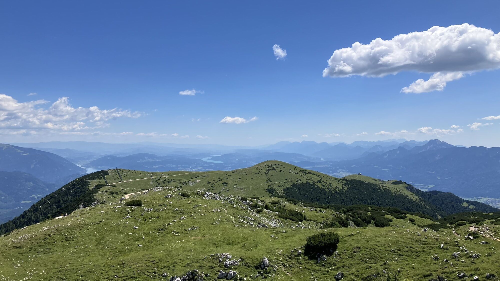
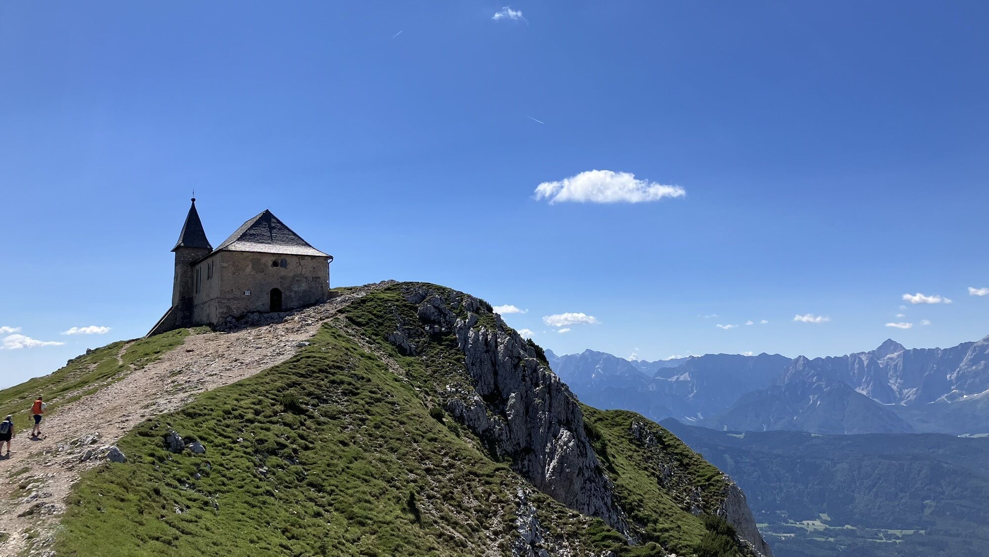
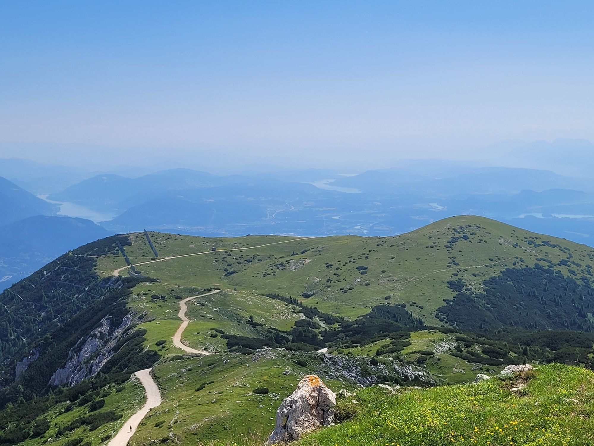
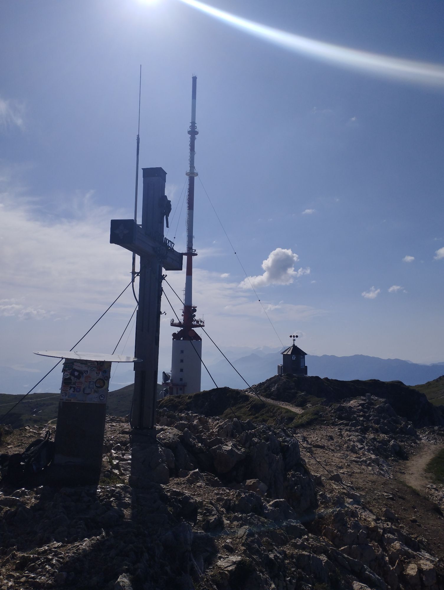
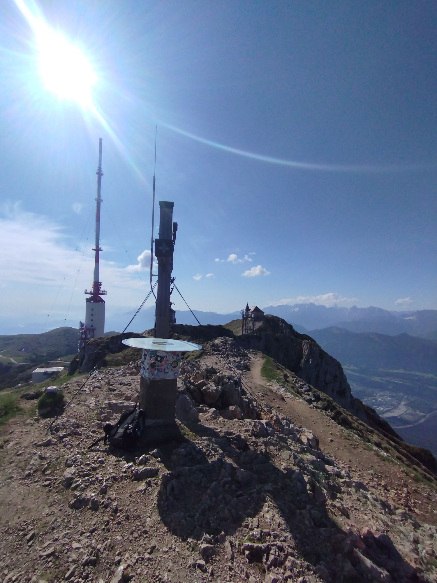
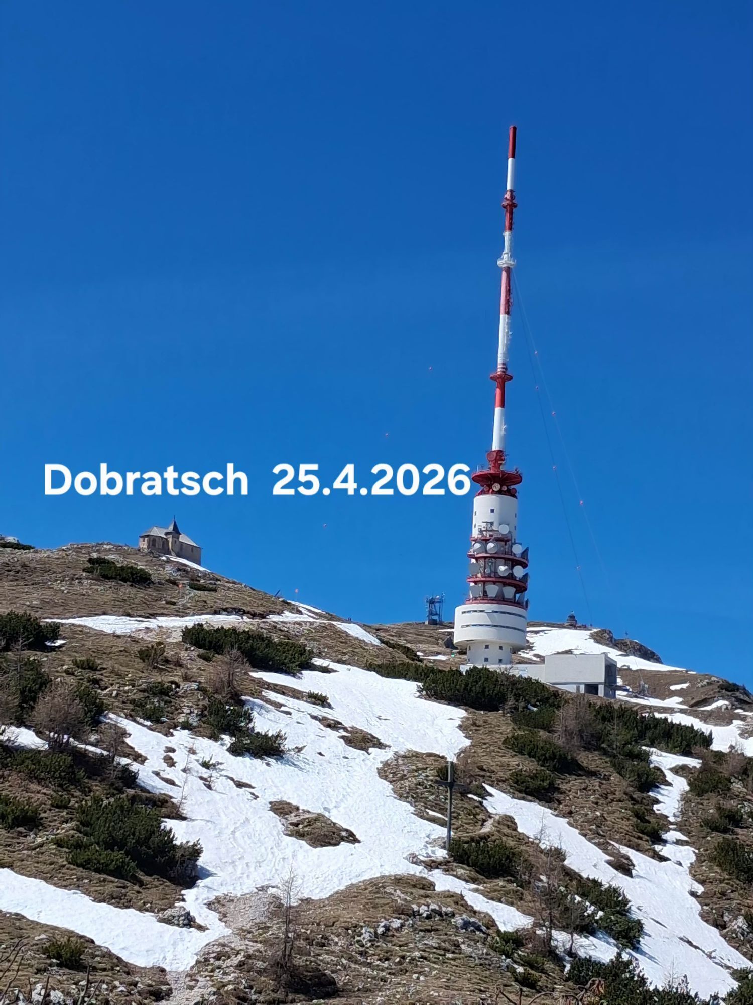
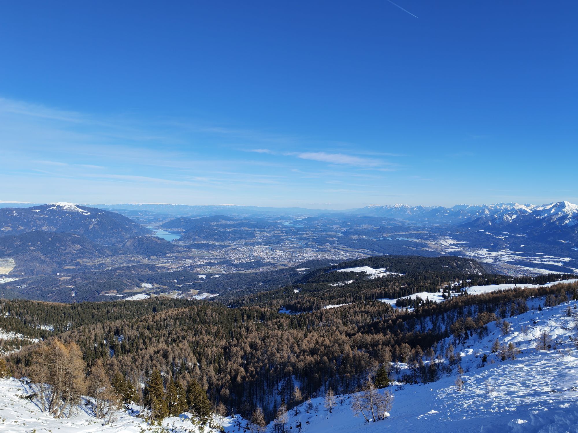
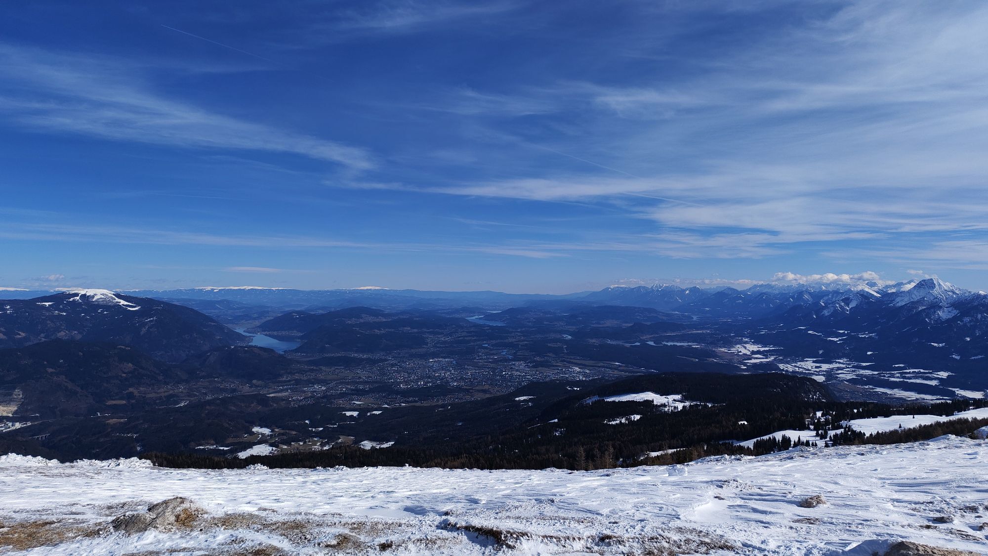
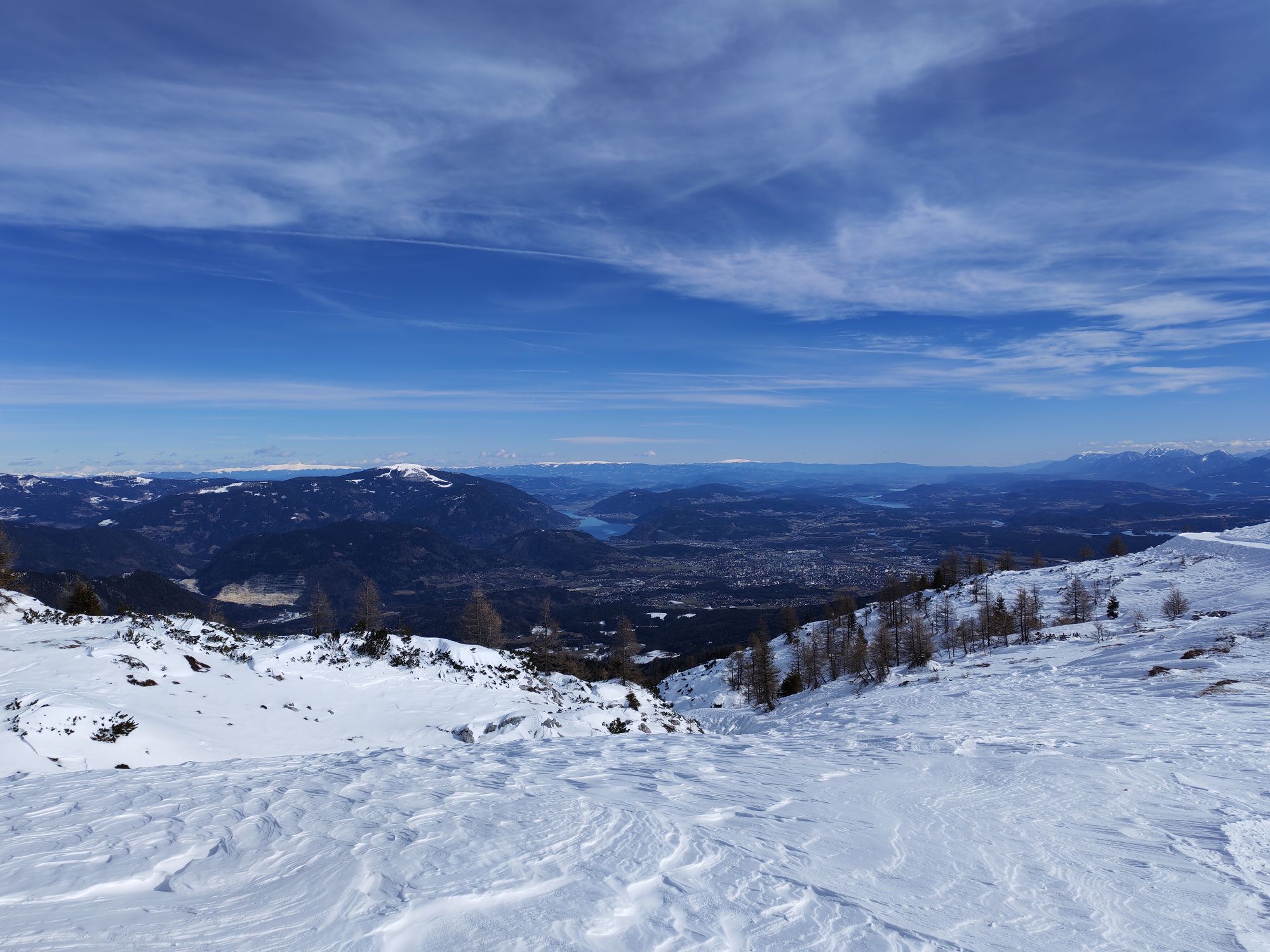
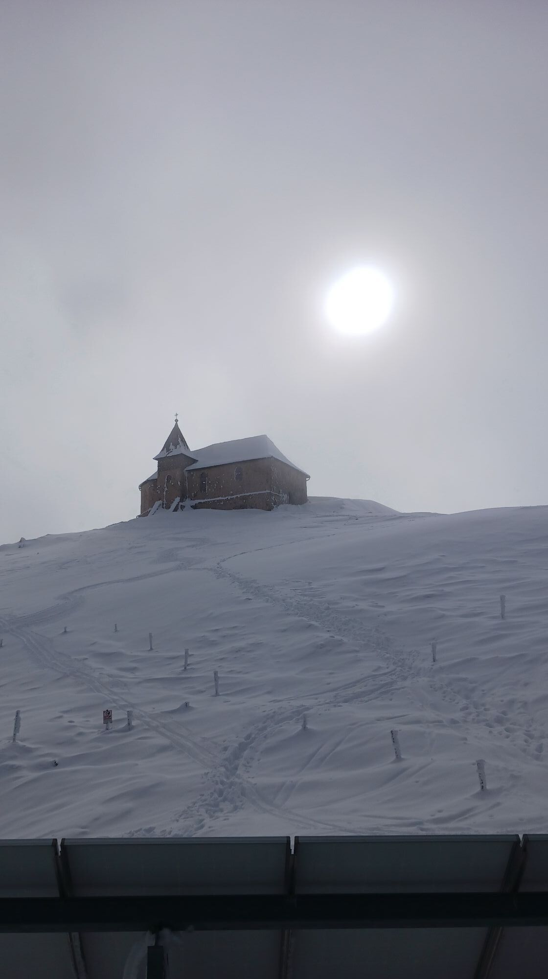
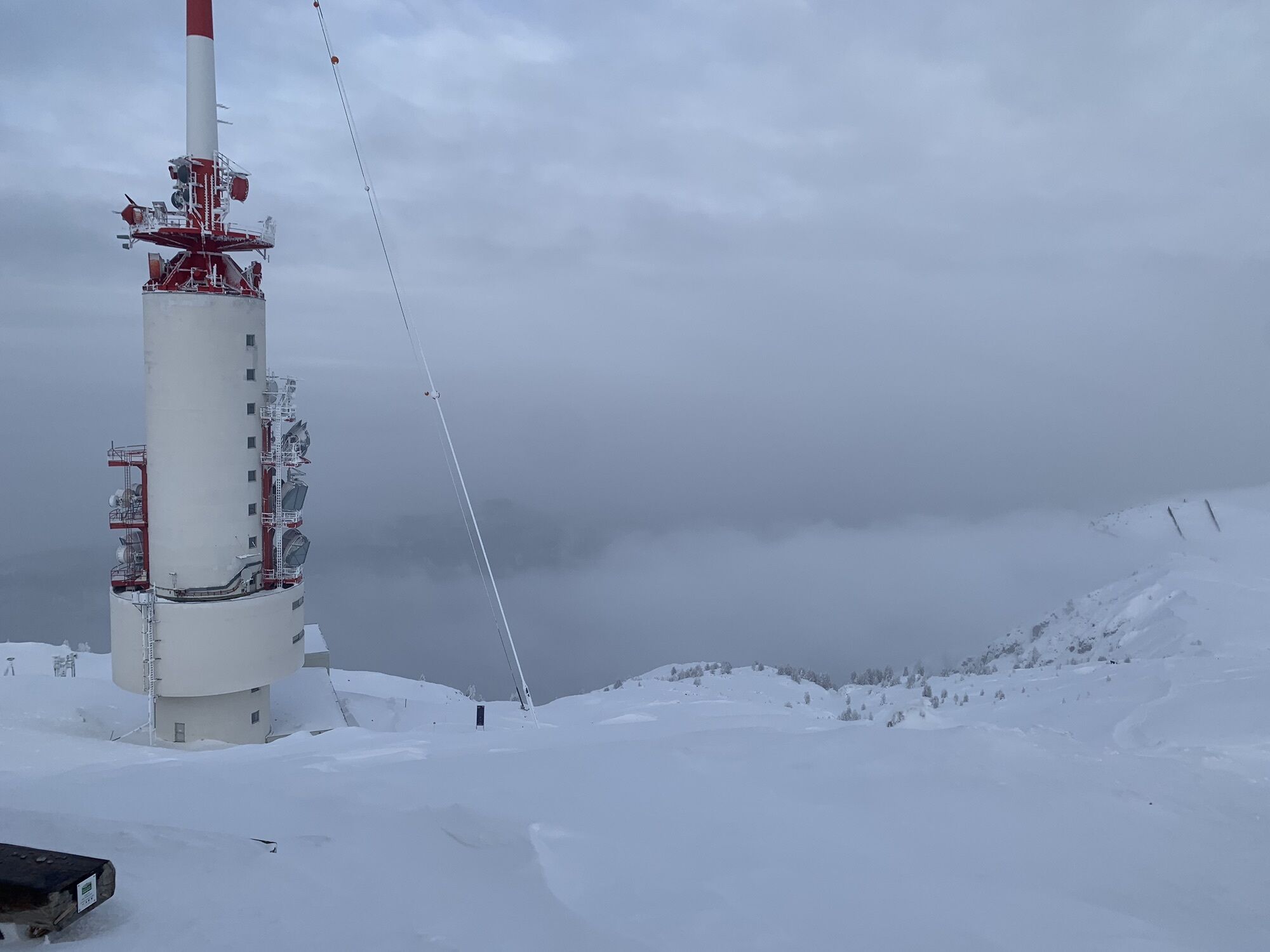
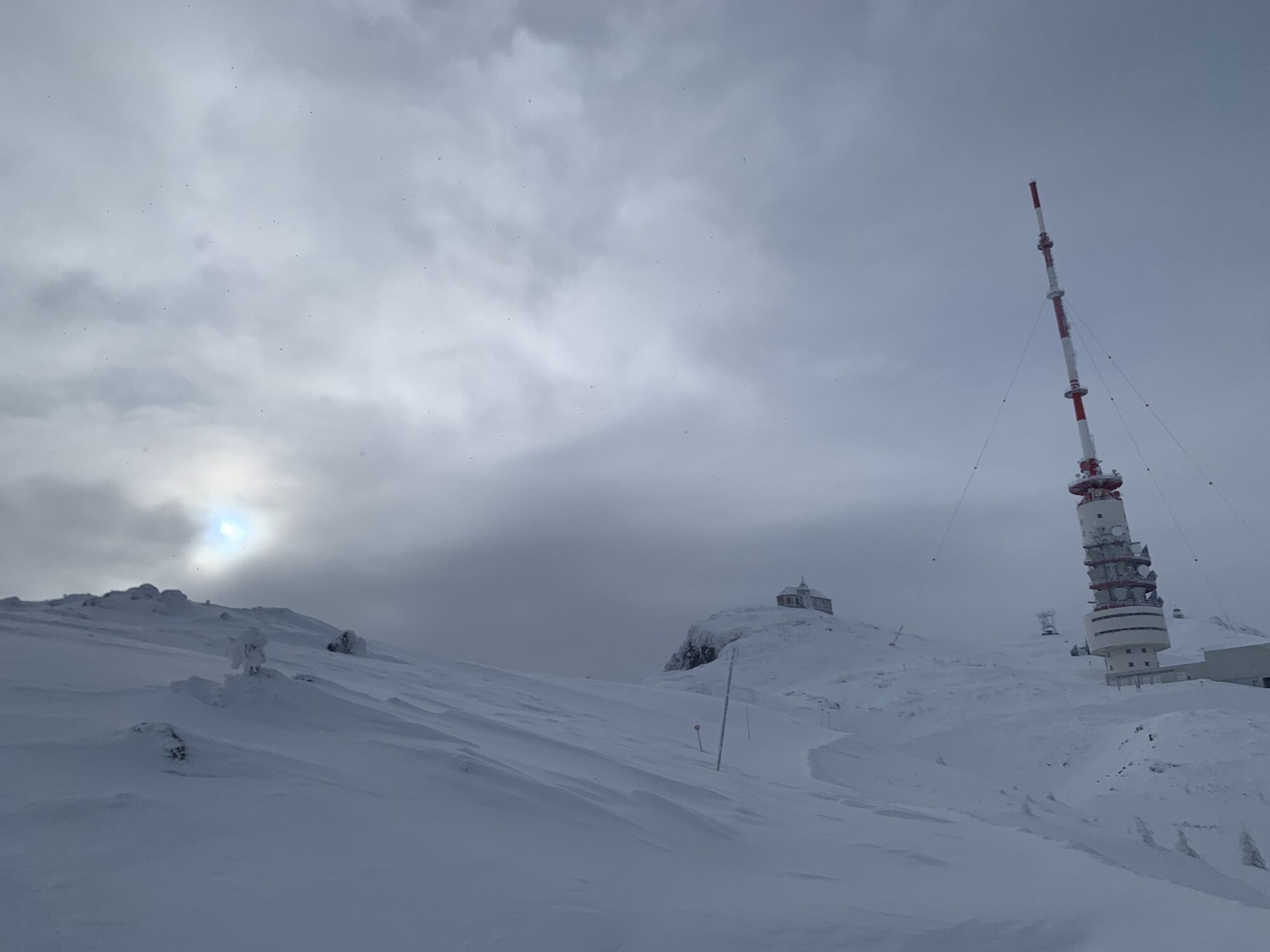
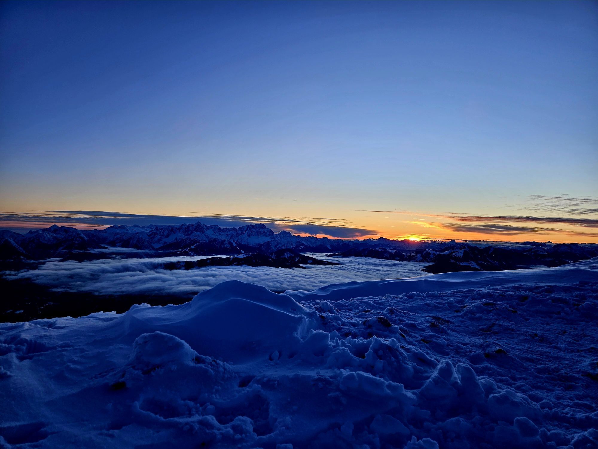
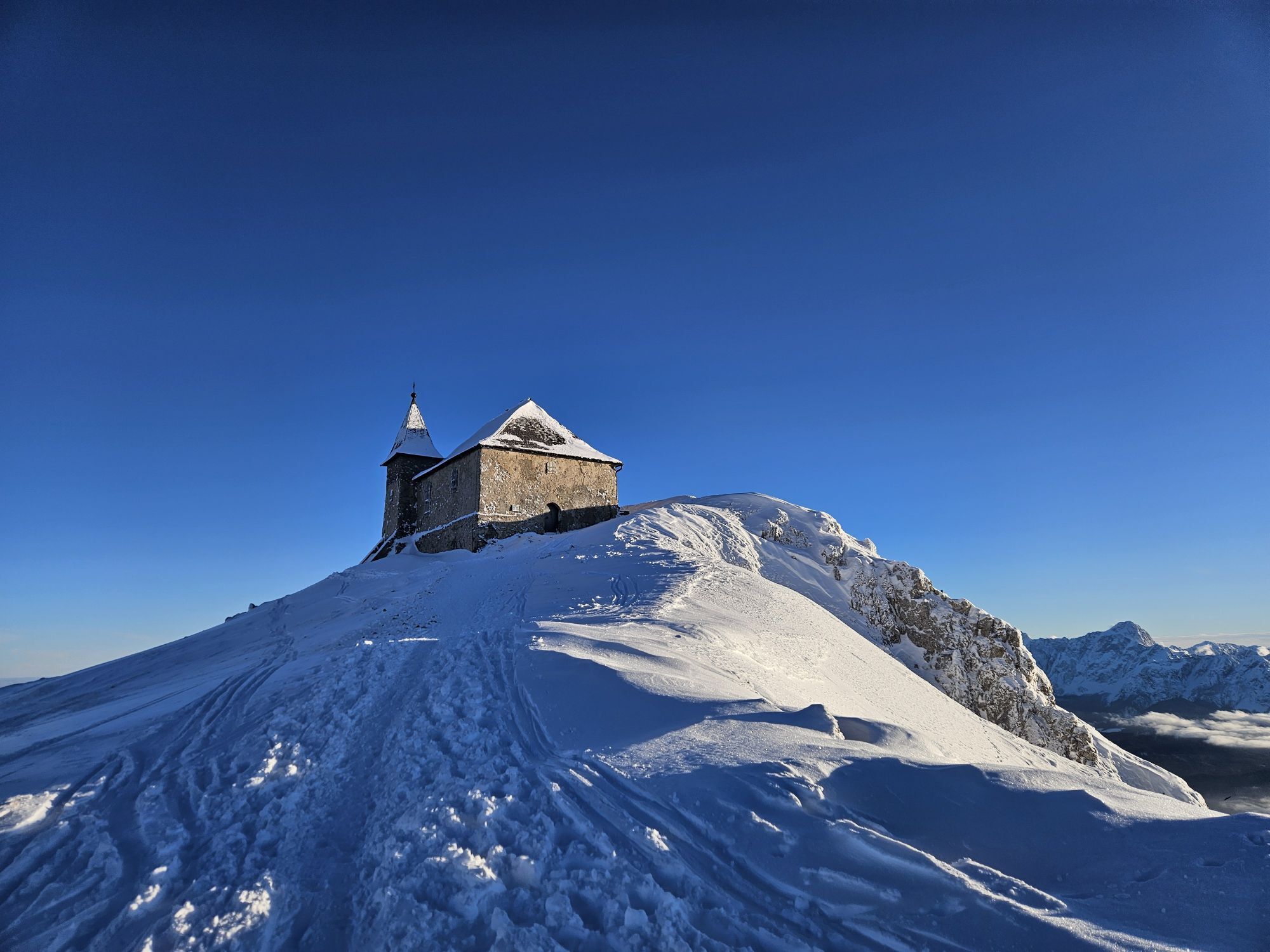
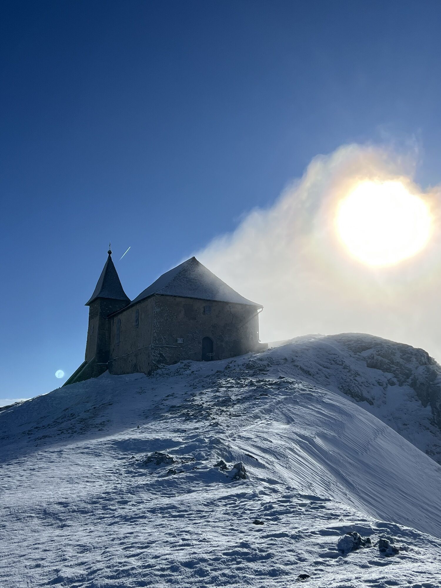
The hike begins at the entry point above the Bad Bleiberg local cemetery. From here, the wide hiking trail leads through spruce forest, always "diagonally" from west to east up the north side of the Dobratsch. Beautiful views of the Carinthian lake district and the Carinthian basin open up again and again. After crossing the former ski slope (watch the markings), one goes a bit steeper through a beautiful forest before reaching an alpine pasture. Here, in the summer months, you will encounter grazing cattle (WARNING: dogs must be kept on a leash). The first destination, the Aichinger Hut, is soon reached. This is either the endpoint of the hike or a stopover on the way to the summit. From the hut, the path leads over alpine meadows to Panorama Trail 291, which you follow to the summit house. Along the way, you have breathtaking views of the Julian and Carnic Alps, the Karawanks, and the Nock Mountains. In the summit area, there is the highest large broadcasting facility of ORF as well as two of the highest pilgrimage churches in the Alps. The return route is the same way back.
Da
Da
Hiking boots, drinking water, and rain protection.
In the summer months, watch out for grazing cattle and do not startle them.
Bad Bleiberg is easiest to reach via the A10 motorway exit "Villach-West," then drive south at the VEZ shopping center and then turn right to Bad Bleiberg.
Bad Bleiberg is well accessible by public transport.
Here is the timetable information.
There are parking spaces at the local cemetery in Bad Bleiberg.
A visit to the Rosstrattn, the snack bar in the Dobratsch Nature Park (http://www.rosstratte.at), is also recommended. In summer, you can take the return journey by the Dobratsch Nature Park Bus.

Spletne kamere s turneje

Dejavnosti na poti
-

Bad Bleiberg, Kärnten/Österreich
23.08.2026 – Pohodništvo -
Bad Bleiberg, Kärnten/Österreich
19.08.2026 – Pohodništvo -
Dobratsch, Kärnten/Österreich
14.08.2026 – Pohodništvo -

Bad Bleiberg, Kärnten/Österreich
27.06.2026 – Pohodništvo -
Dobratsch, Kärnten/Österreich
15.06.2026 – Šotolinasto kolo -

Bad Bleiberg, Kärnten/Österreich
13.06.2026 – Pohodništvo -
Bad Bleiberg, Kärnten/Österreich
28.03.2026 – Gorski pohodništvo -
Bad Bleiberg, Kärnten/Österreich
06.03.2026 – Gorski pohodništvo -

Bad Bleiberg, Kärnten/Österreich
13.02.2026 – Pohodništvo -

Bad Bleiberg, Kärnten/Österreich
12.02.2026 – Pohodništvo -

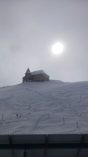
Bad Bleiberg, Kärnten/Österreich
08.02.2026 – Pohodništvo -
Bad Bleiberg, Kärnten/Österreich
30.01.2026 – Pohodništvo -
Bad Bleiberg, Kärnten/Österreich
08.01.2026 – Pohodništvo -
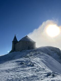
Aichinger Hütte - Dobratsch Gipfel
04.01.2026 – Pohodništvo -

Dobratsch, Kärnten/Österreich
01.01.2026 – Pohodništvo -
Bad Bleiberg Wandern
01.01.2026 – Gorski pohodništvo -
Bad Bleiberg, Kärnten/Österreich
18.12.2025 – Pohodništvo -

Dobratsch ⛰️
05.11.2025 – Pohodništvo -

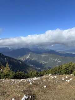
Villach, Kärnten/Österreich
17.10.2025 – Pohodništvo -

Bad Bleiberg, Kärnten/Österreich
24.09.2025 – Pohodništvo
Priljubljeni izleti v okolici
-
4.6
Auf den Dobratsch mit der ganzen Familie
Pohodništvo 8.40 km -
4.7
Jezera Fusine
svetlobaPohodništvo 5.43 km -
5.0
Amberg: Palnock 1901m, Schwarzsee, Rundstrecke
srednjaPohodništvo 7.94 km -
4.9
Orrido dello Slizza, Tarvisio, Italië
svetlobaPohodništvo 2.65 km -
4.2
Schwarzsee circular hiking trail
srednjaPohodništvo 7.79 km -
4.6
Gailtaler Alpen: Wanderung auf der Dobratsch
srednjaPohodništvo 8.50 km -
4.5
Oswaldiberg St.Ruprecht
srednjaPohodništvo 6.69 km -
4.0
Dobratsch über den Jägersteig
Pohodništvo 4.30 km -
4.6
Tschekelnock
srednjaPohodništvo 8.93 km -
4.6
Auf den Dobratsch 2.166m von der Nordseite
srednjaPohodništvo 9.36 km
Pohodništvo in sledenje


Ne zamudite ponudb in navdiha za naslednje počitnice
Vaš e-poštni naslov je bil dodan na poštni seznam.





