







Circular hike Klomnock

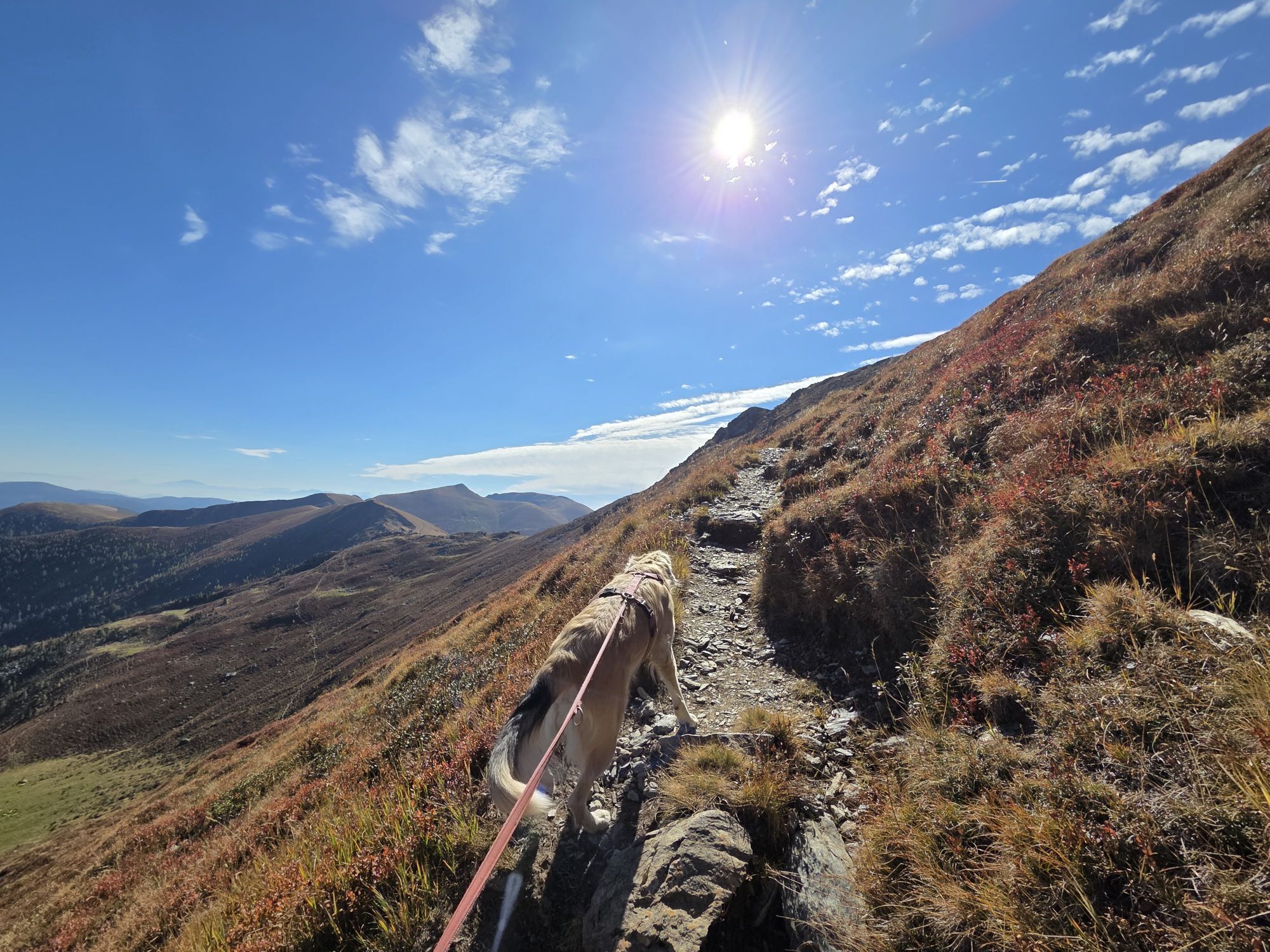
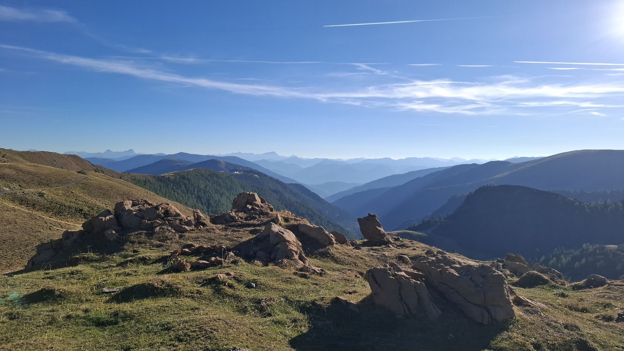
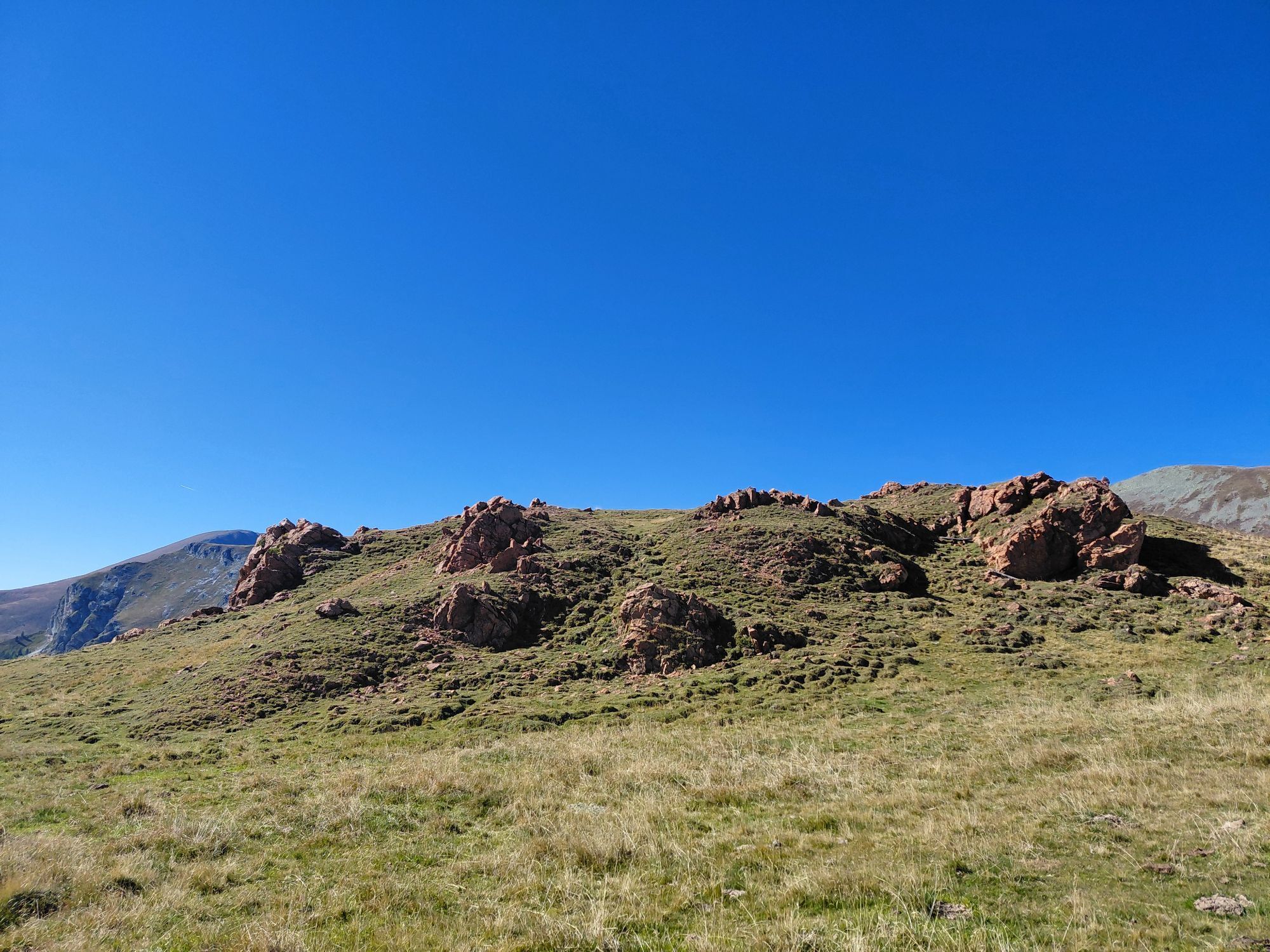
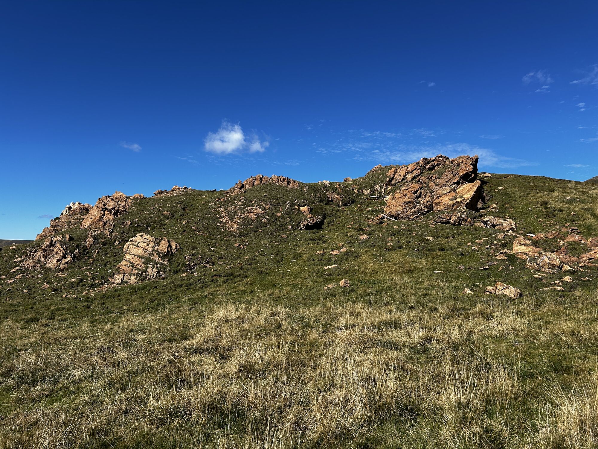
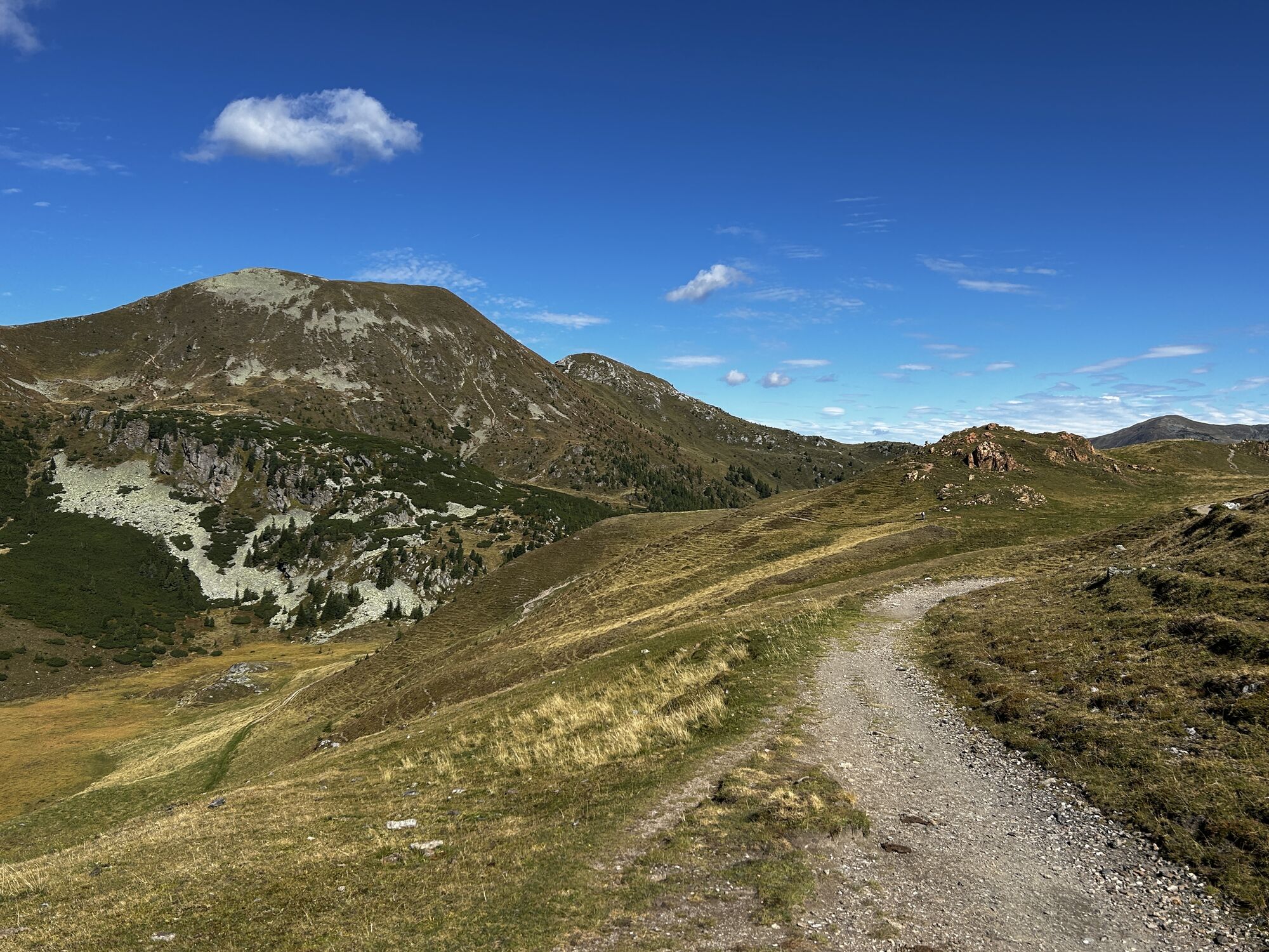
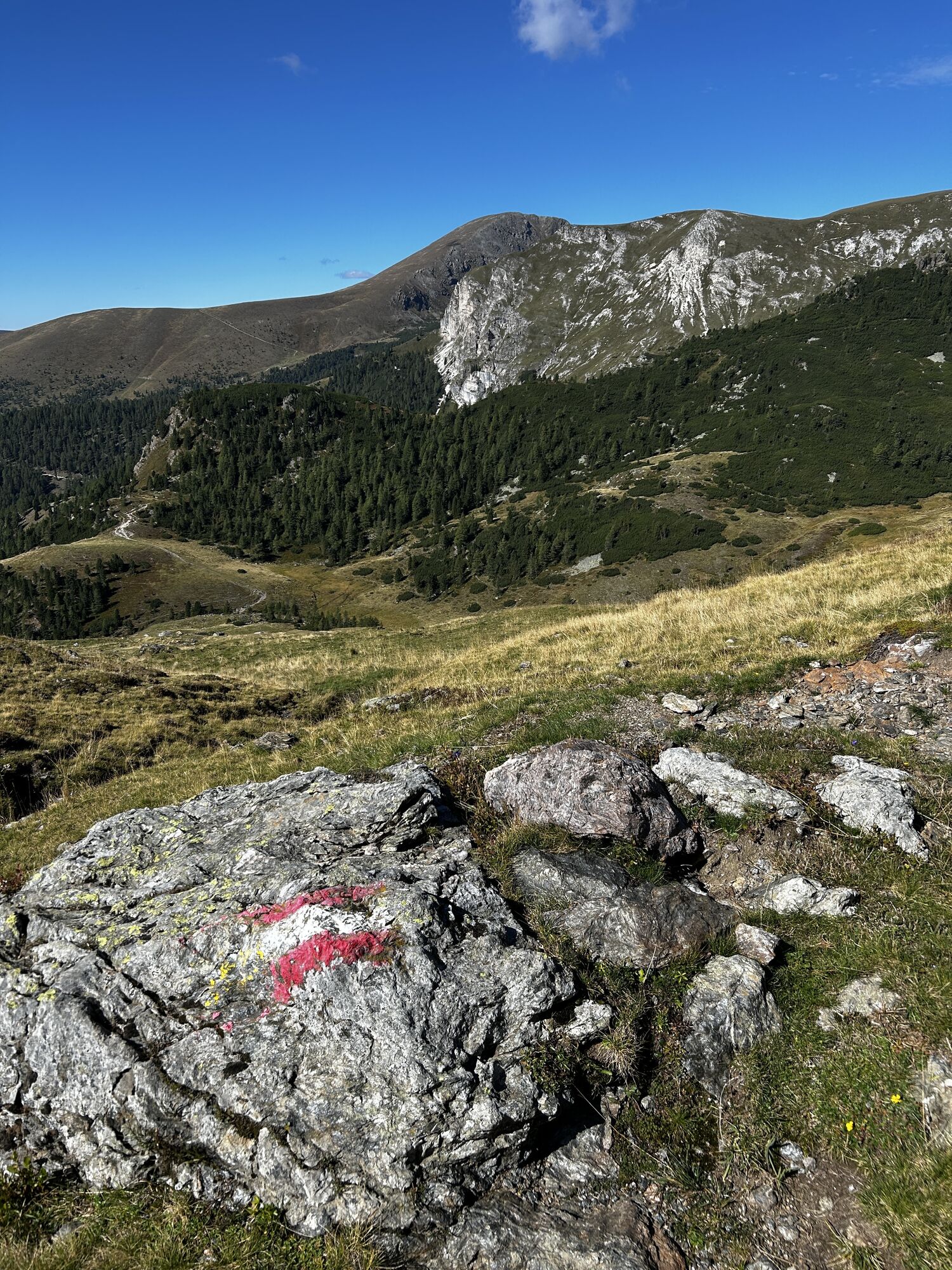
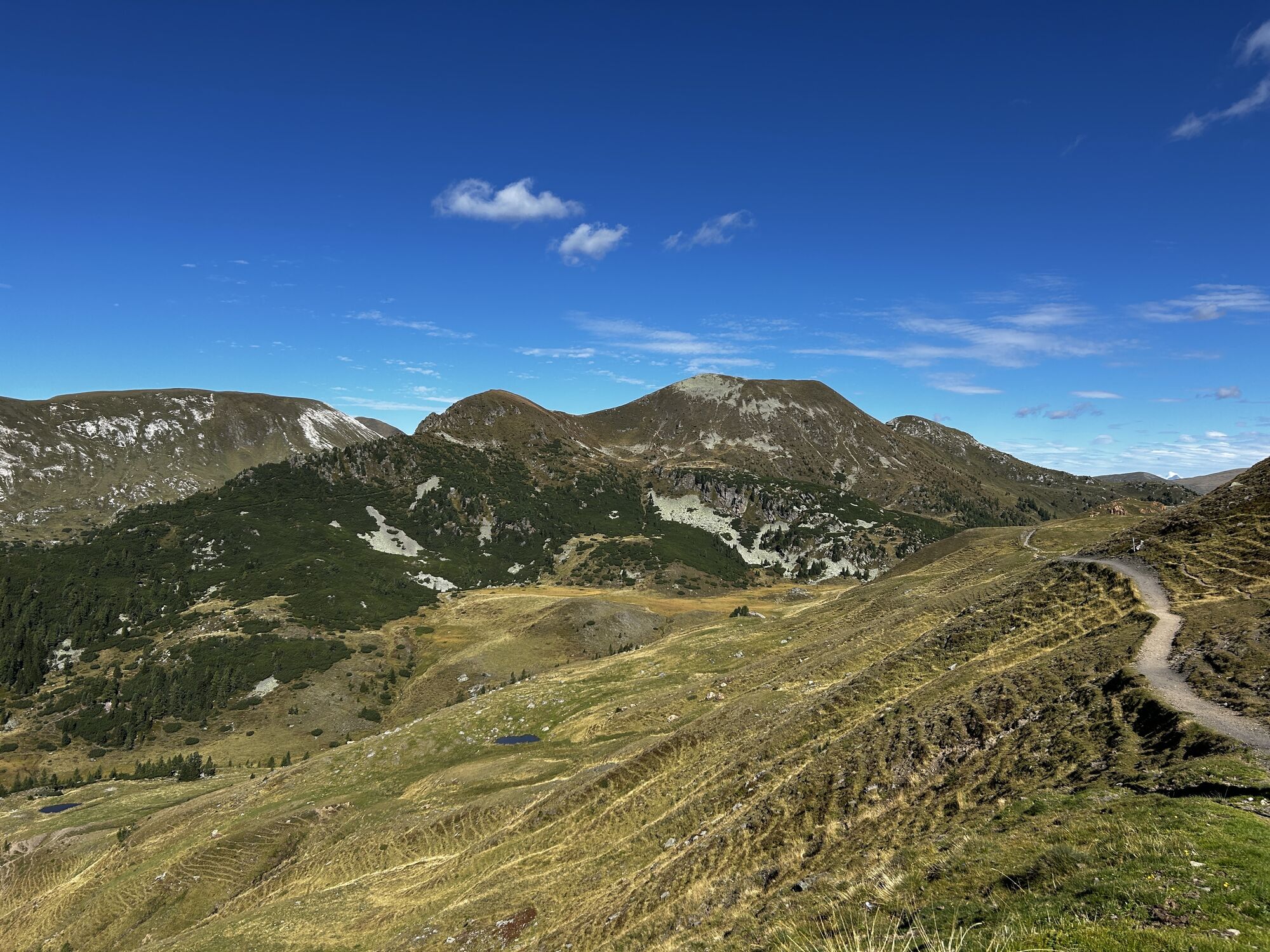
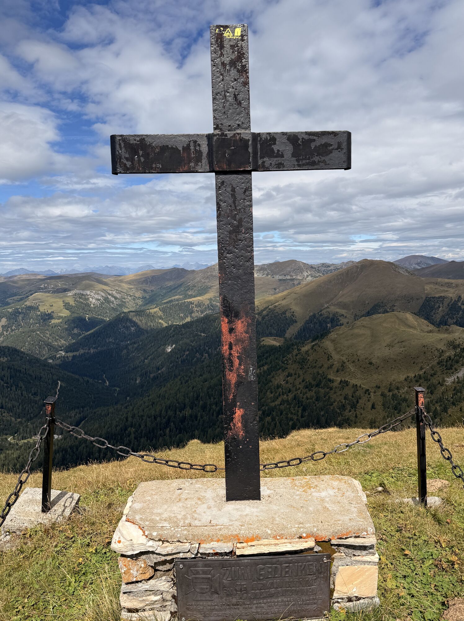
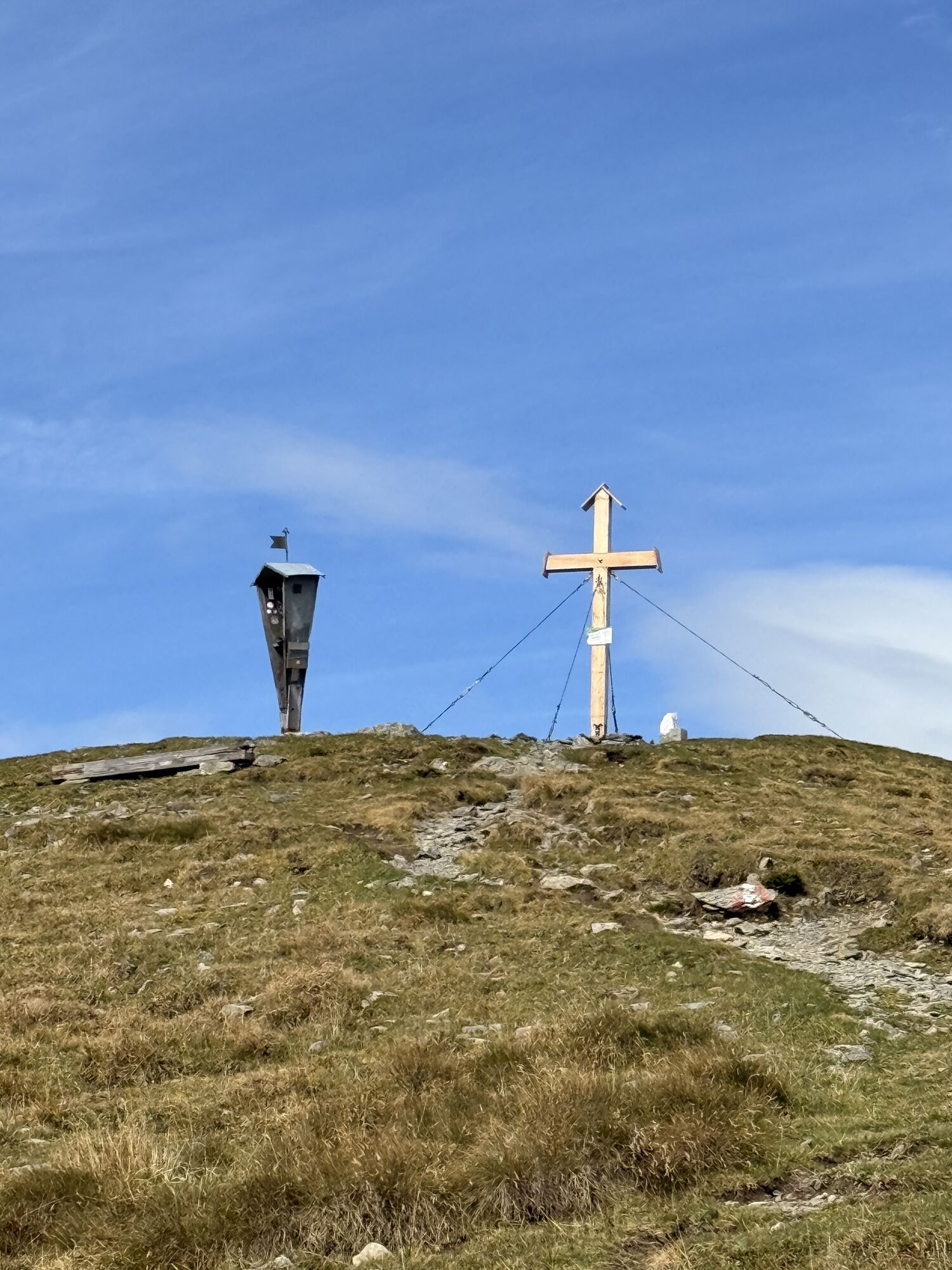
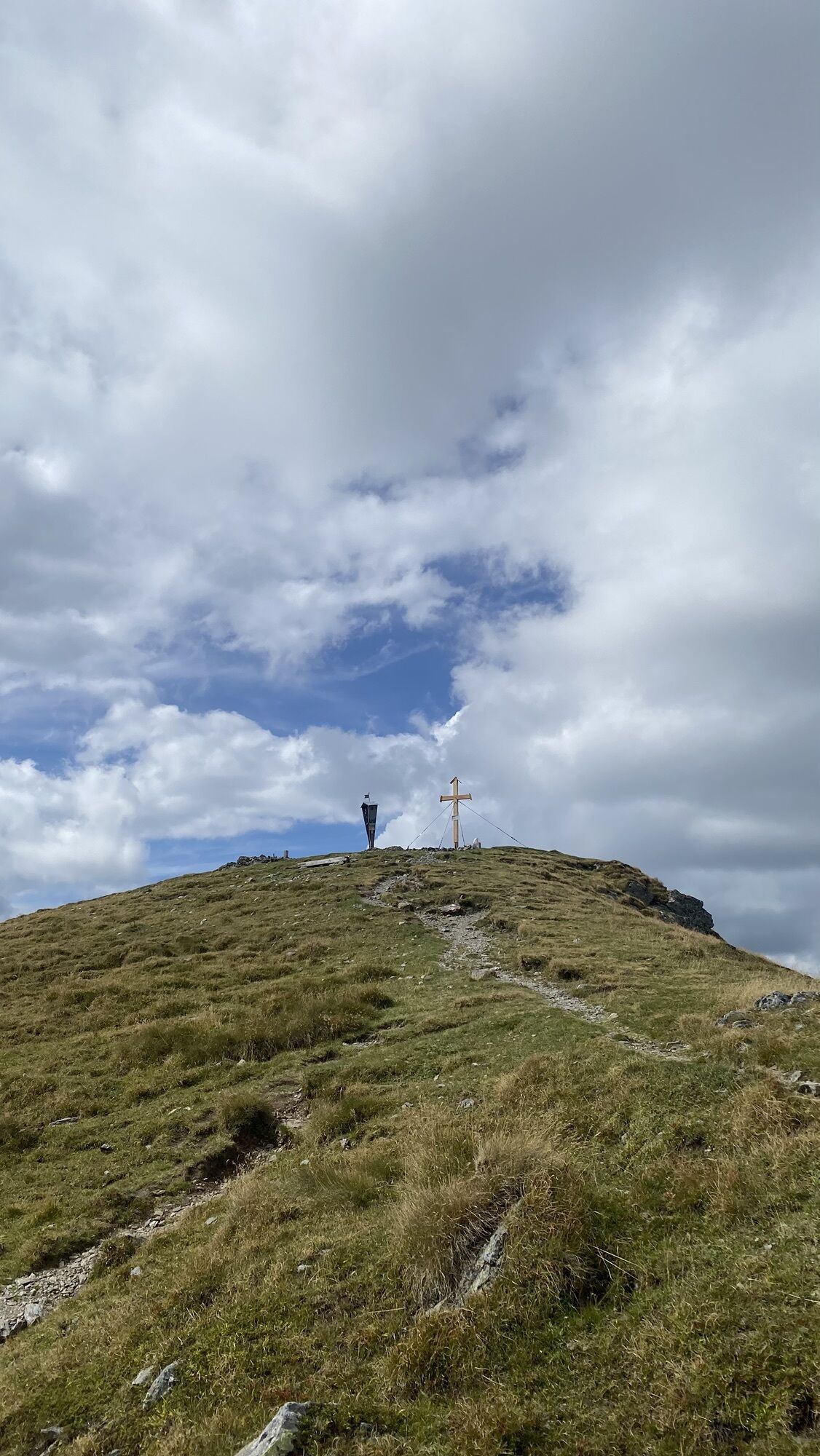
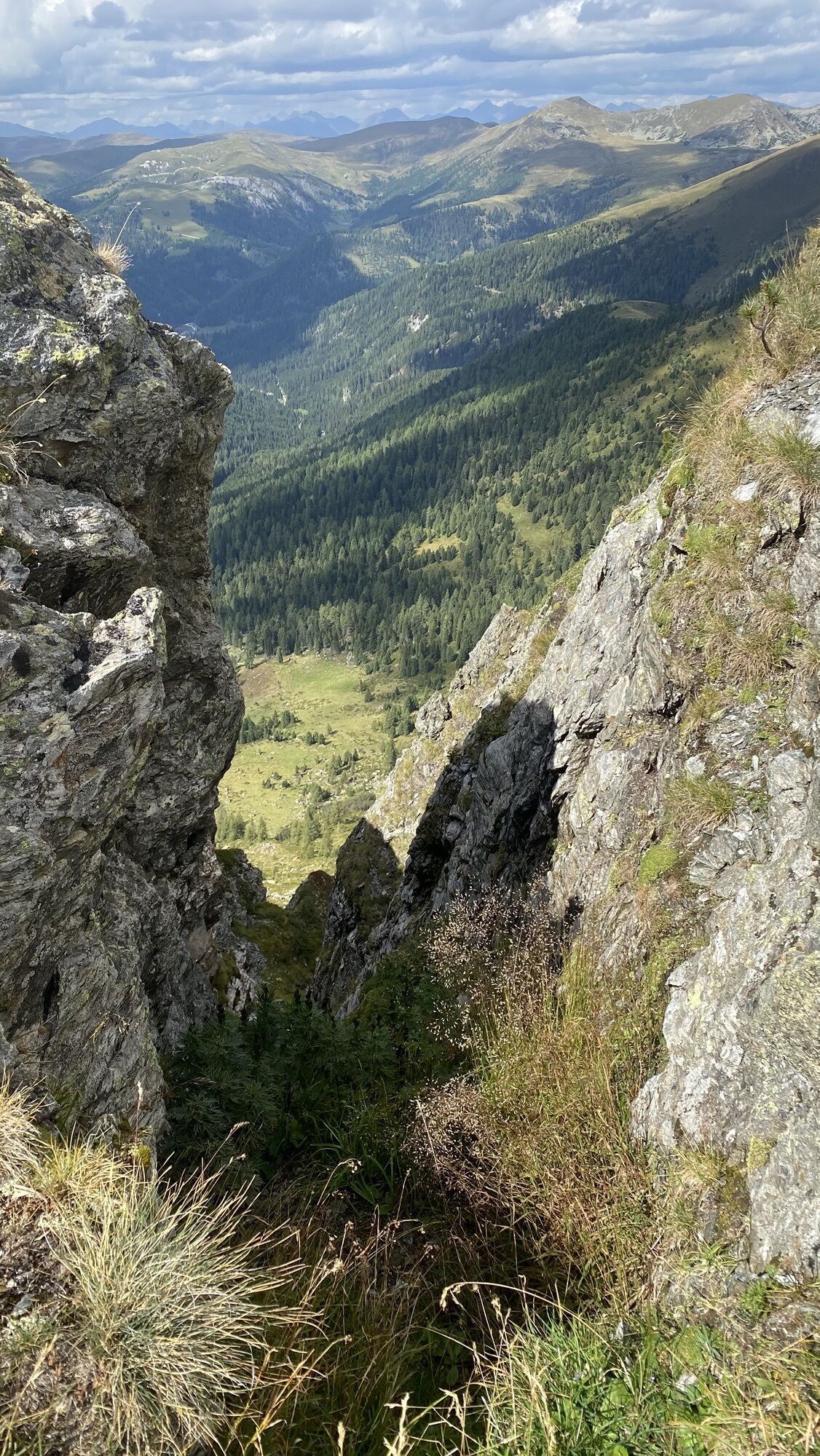
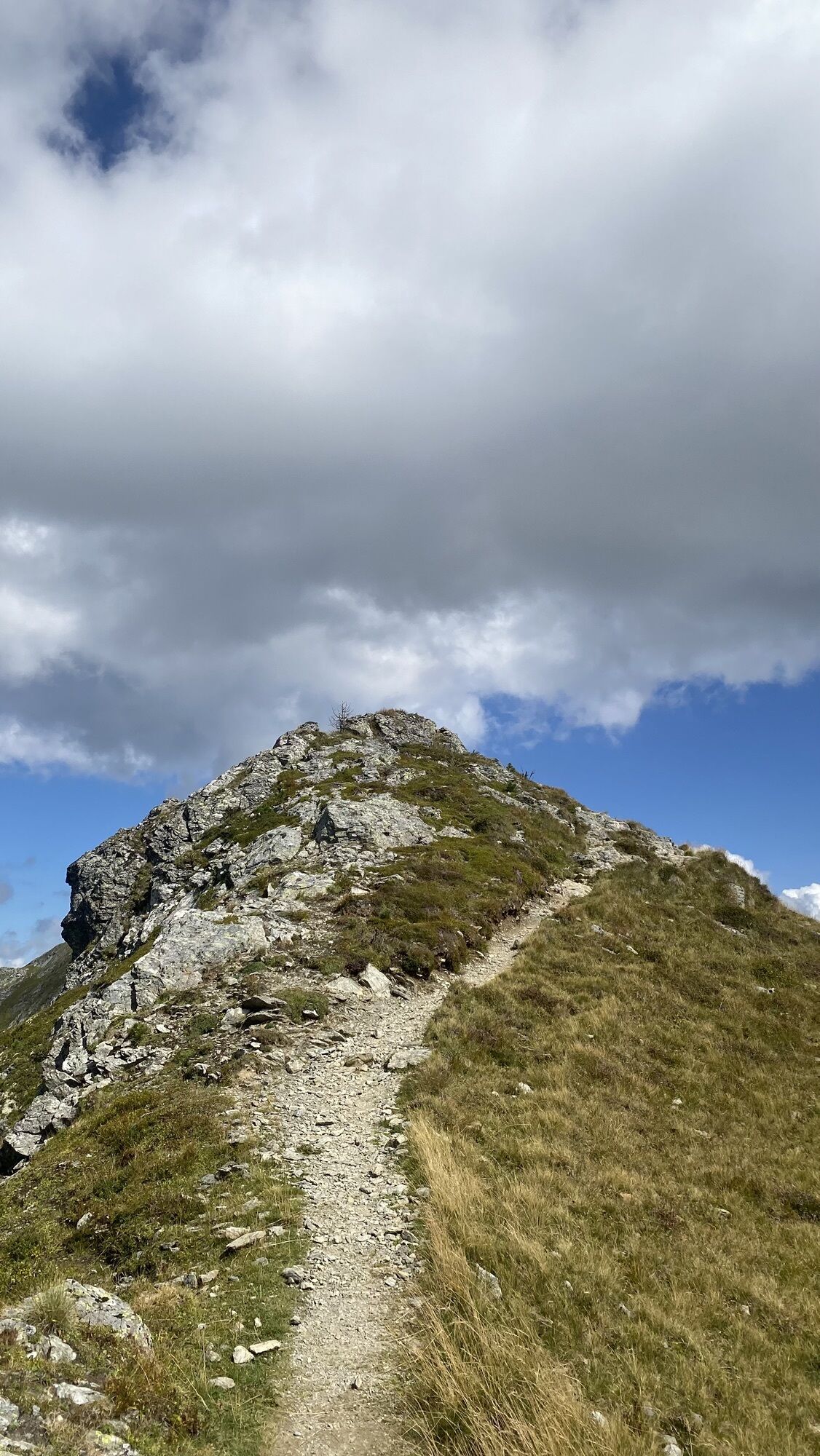
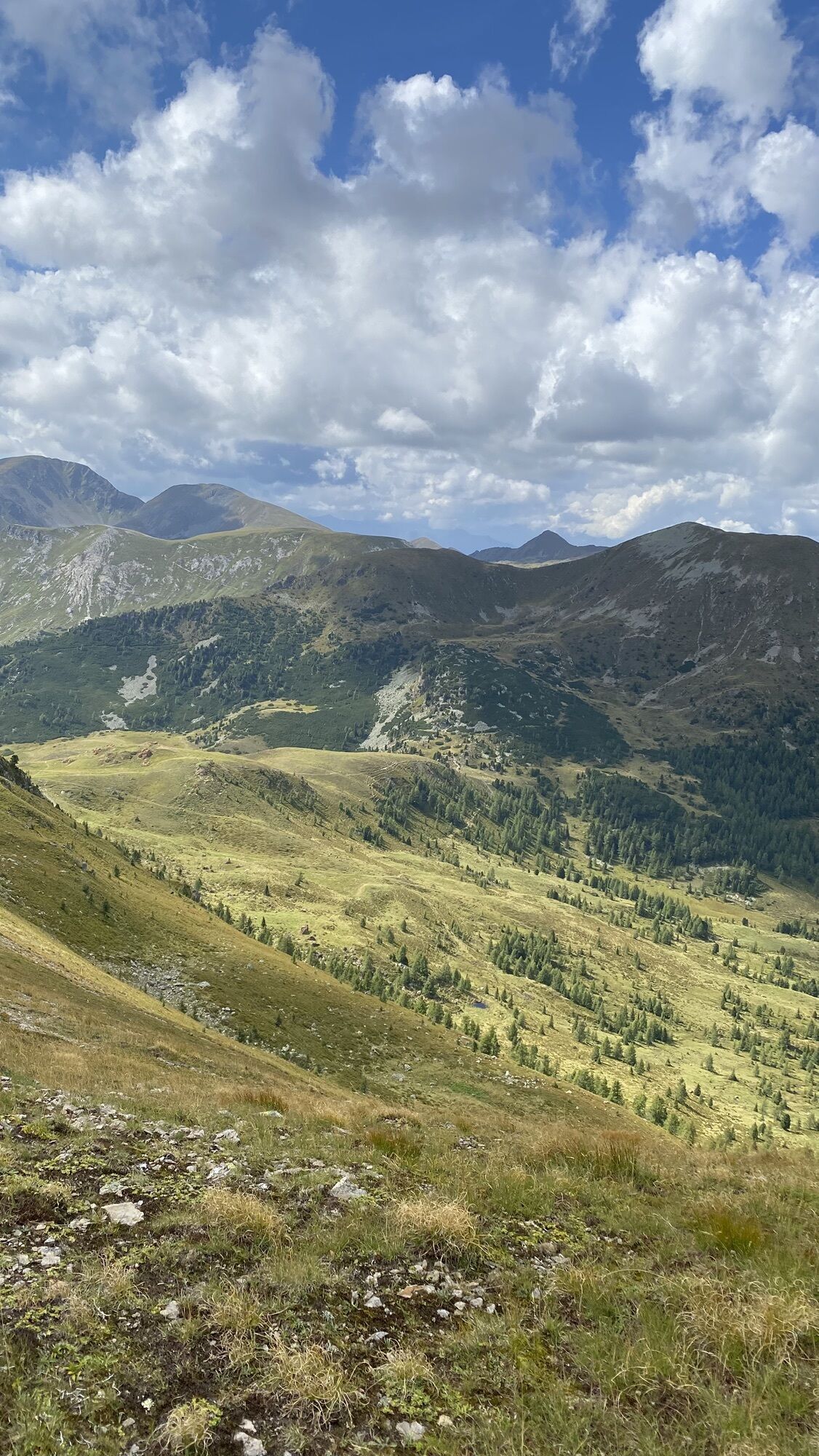
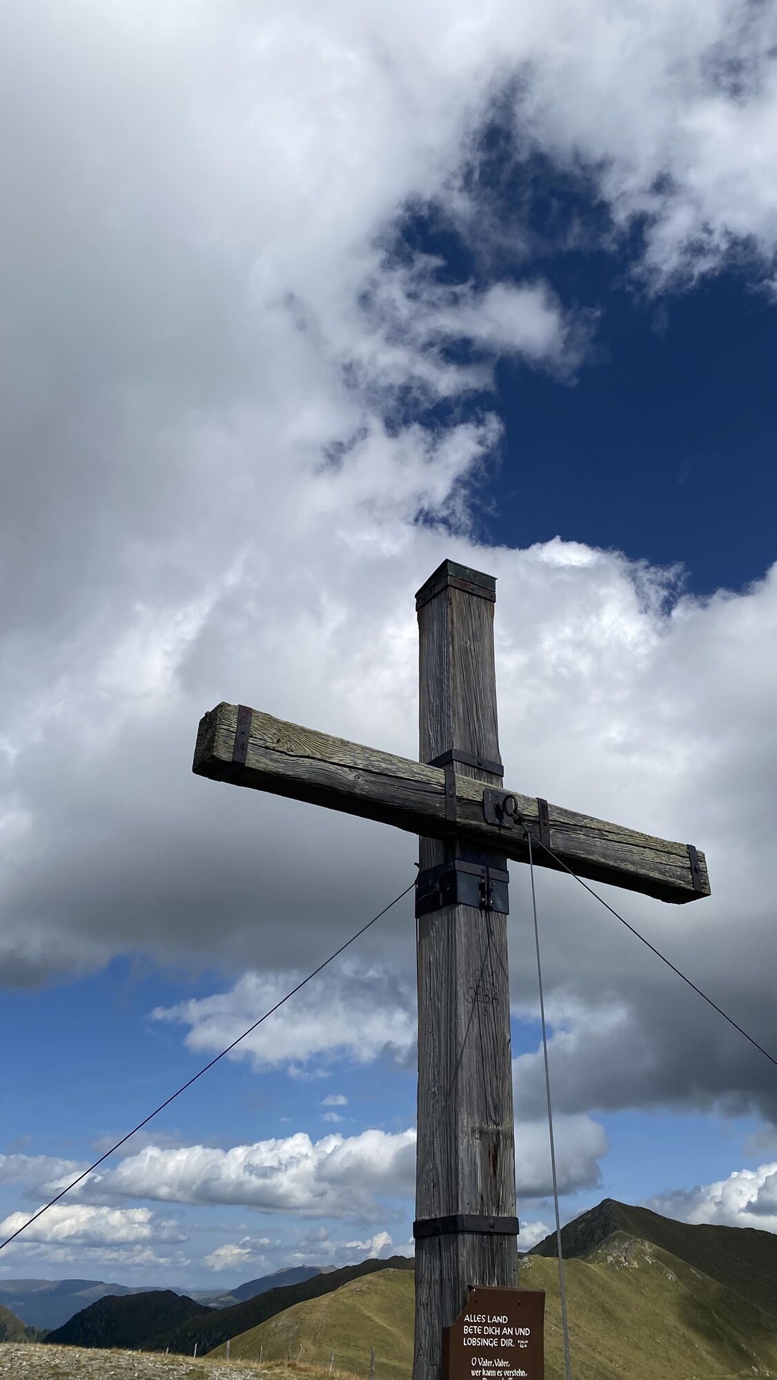
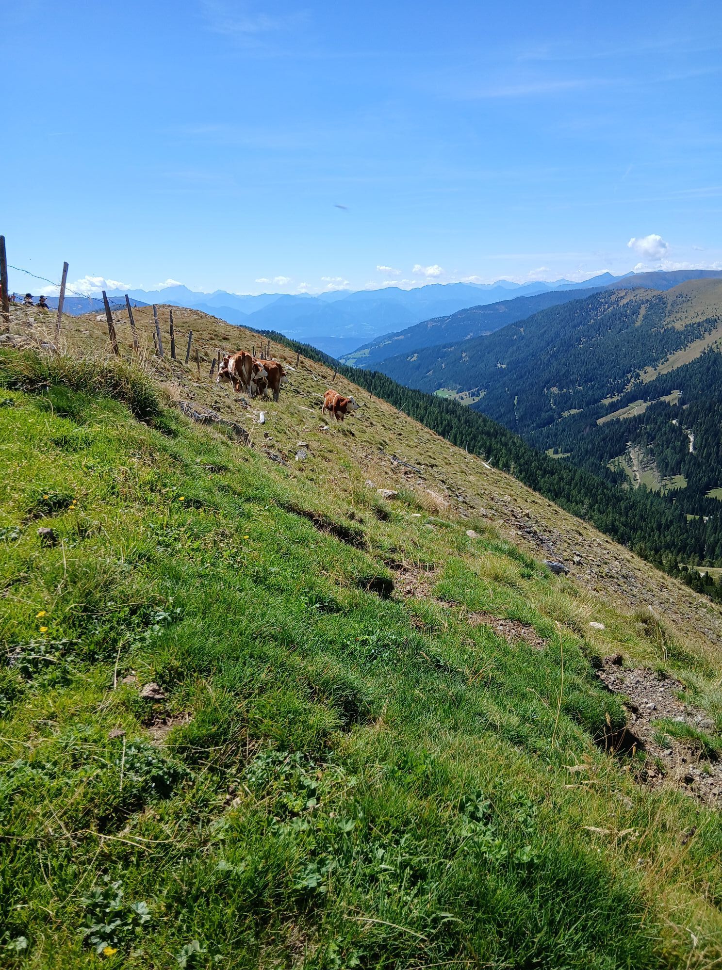
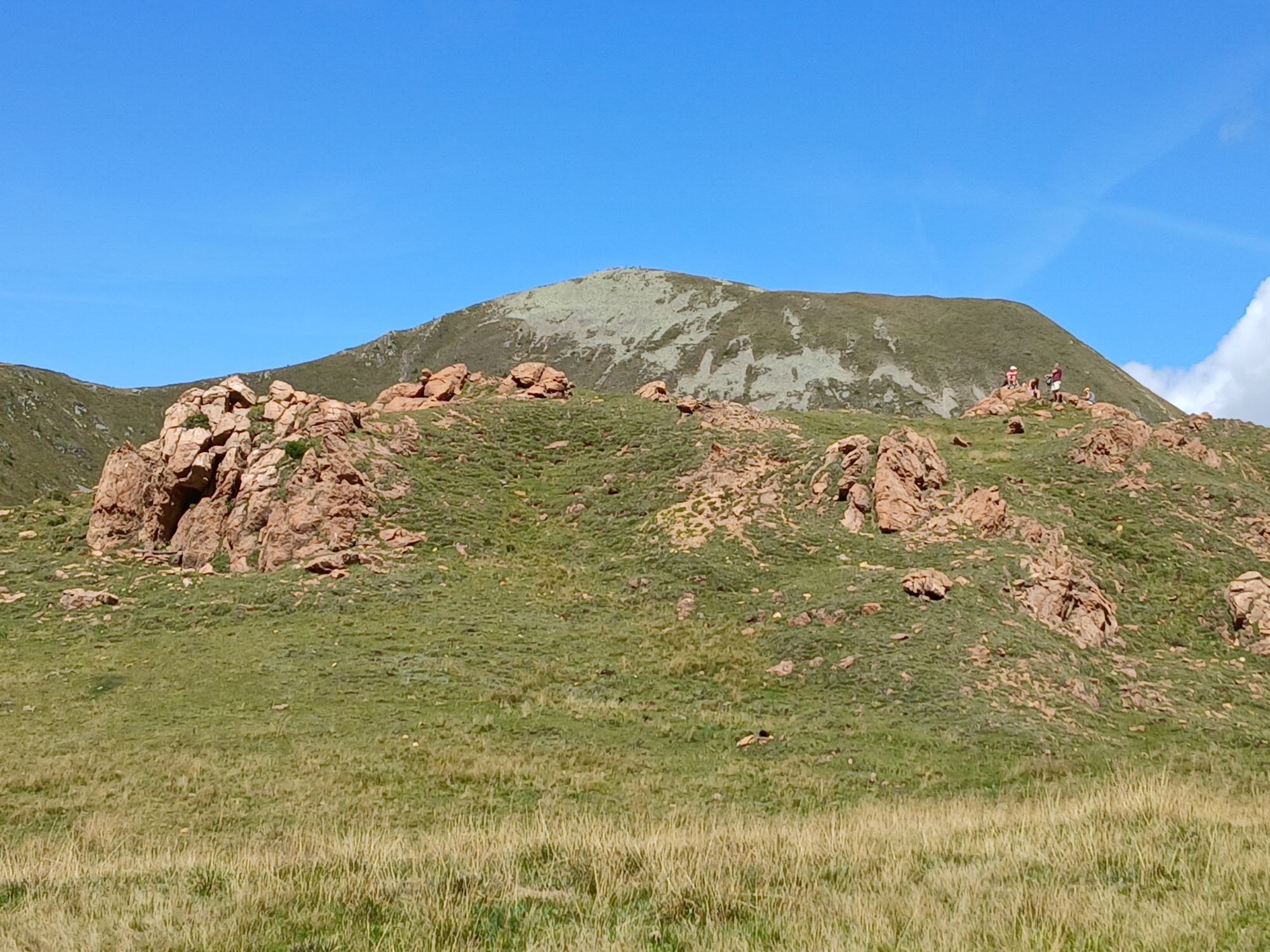
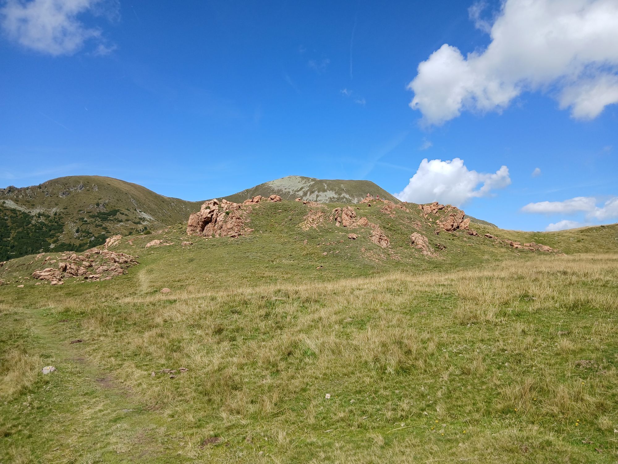
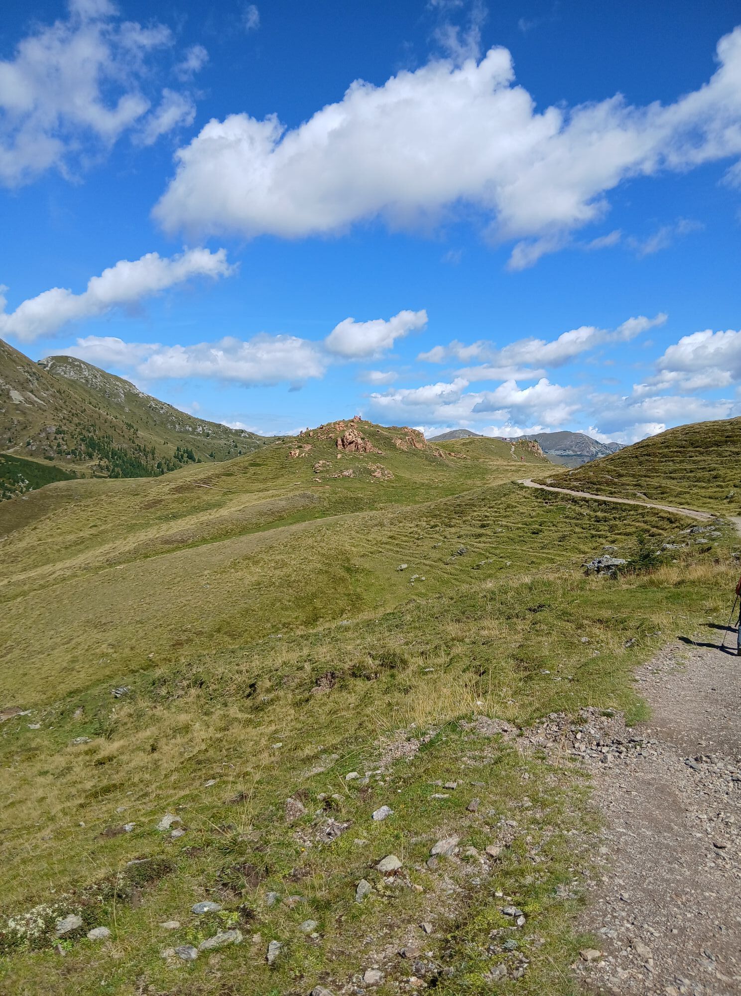
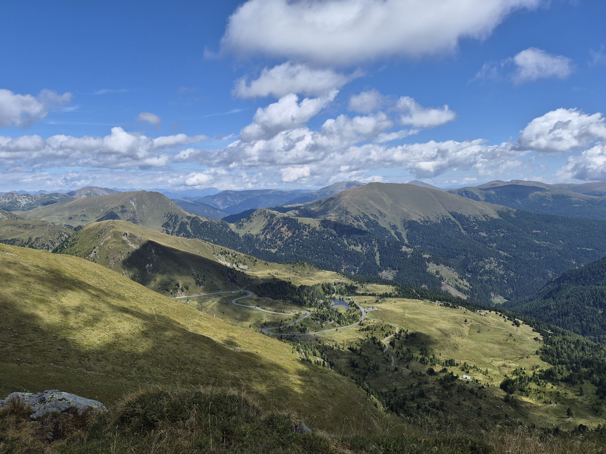
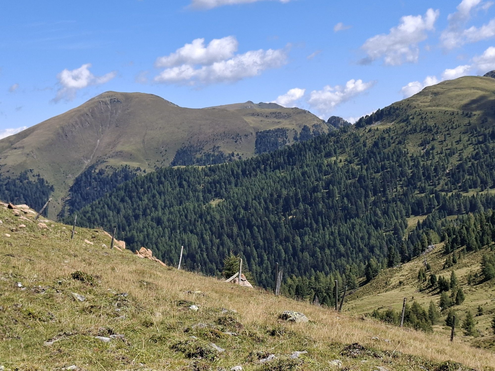
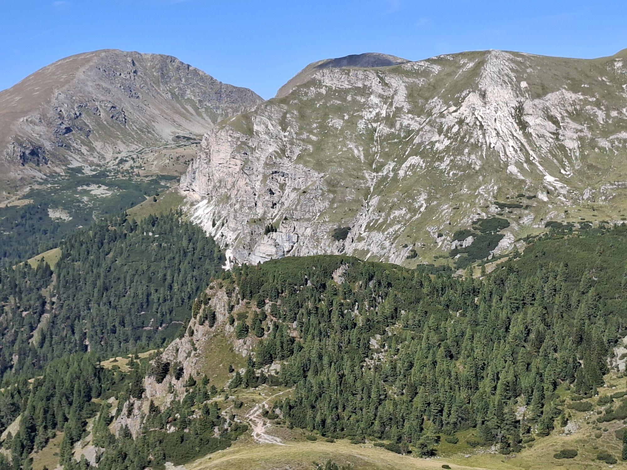
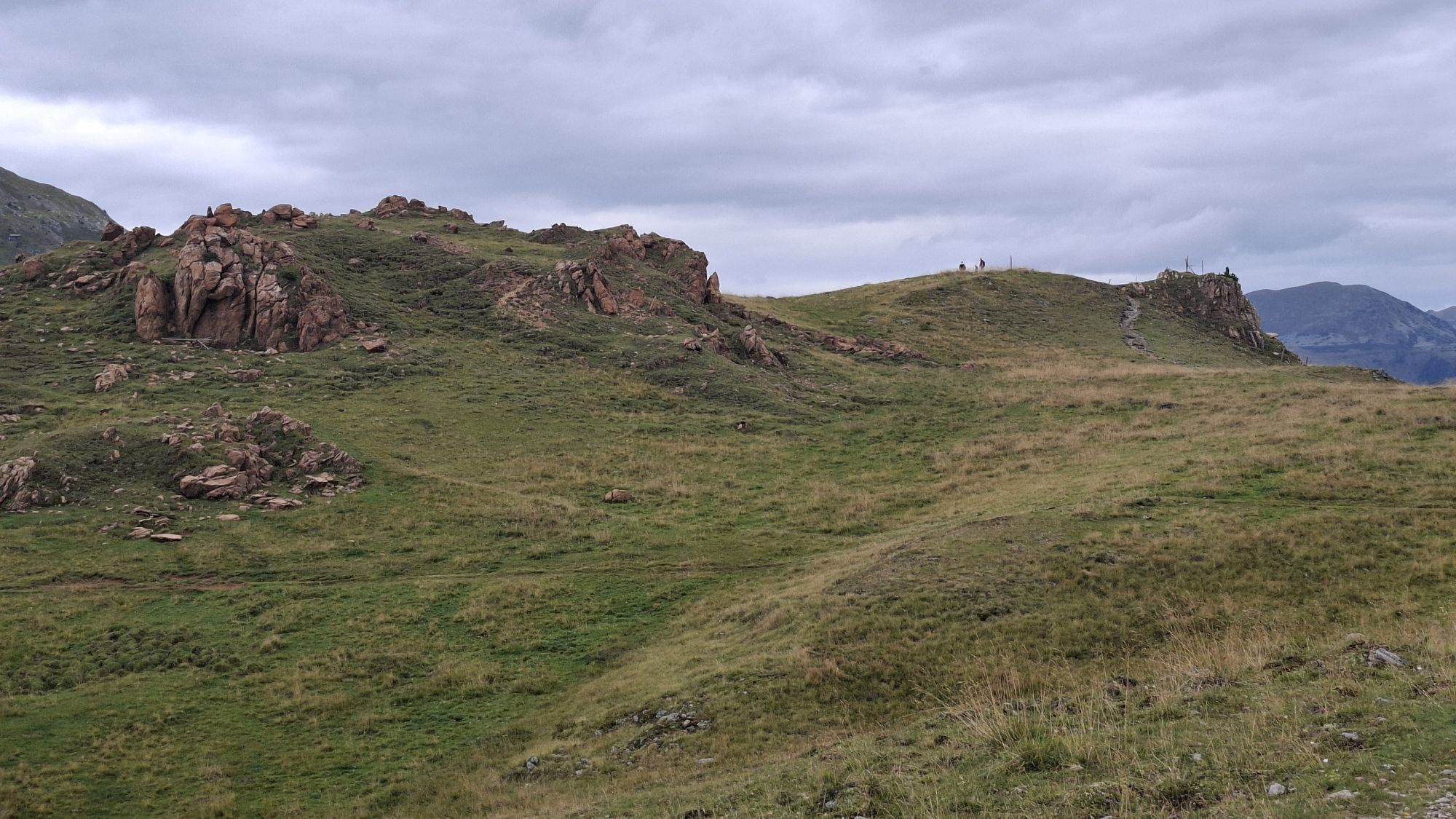
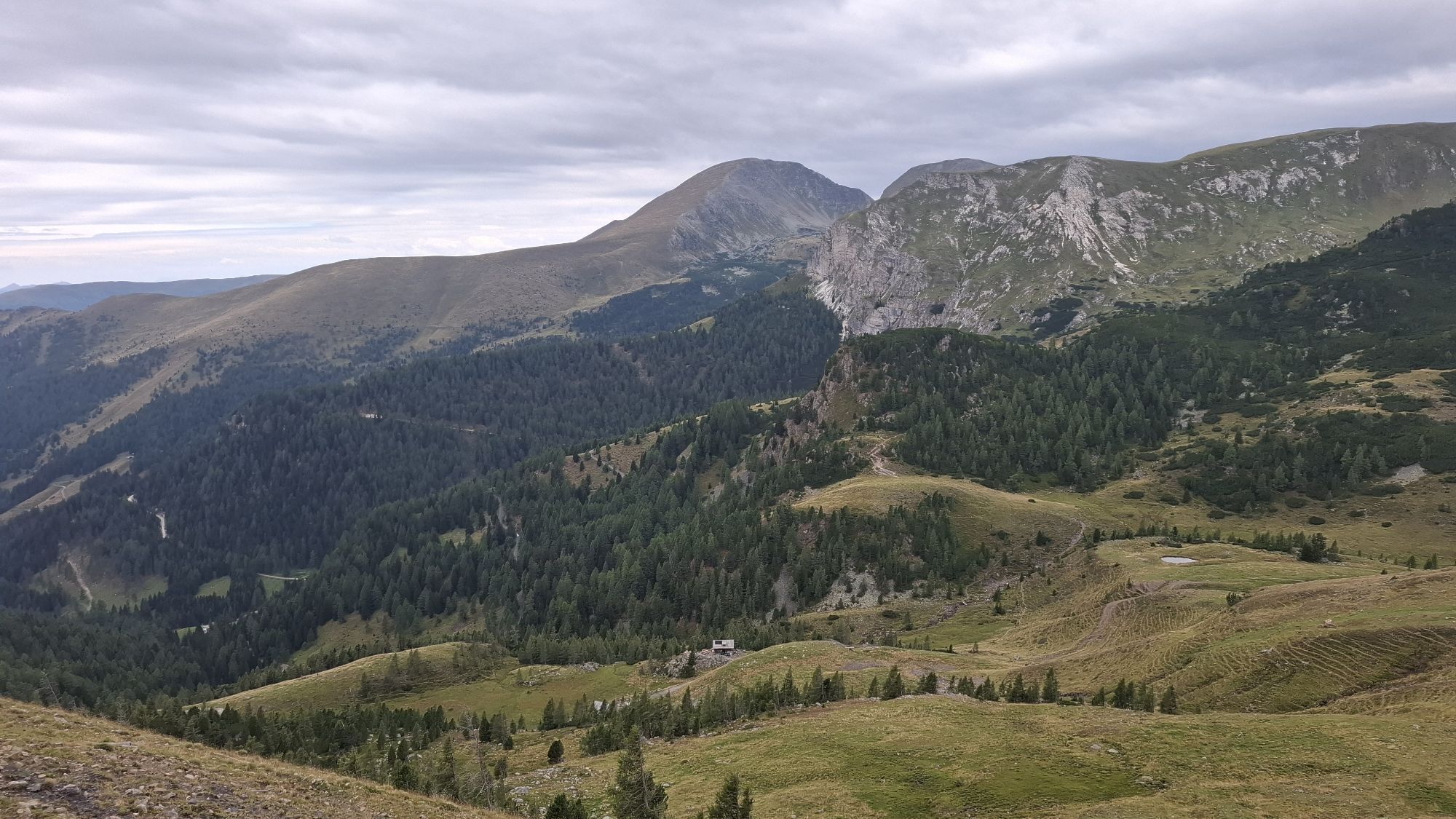
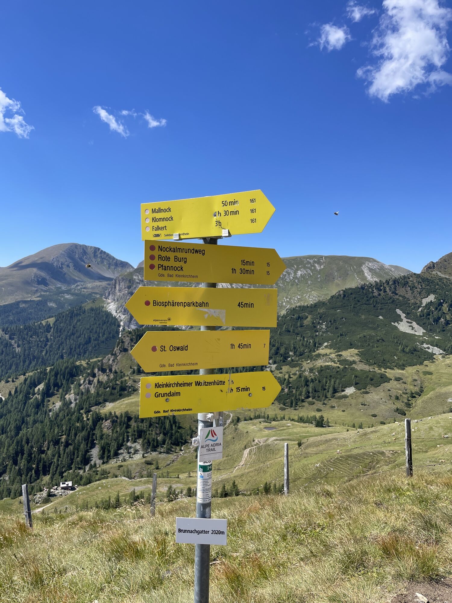
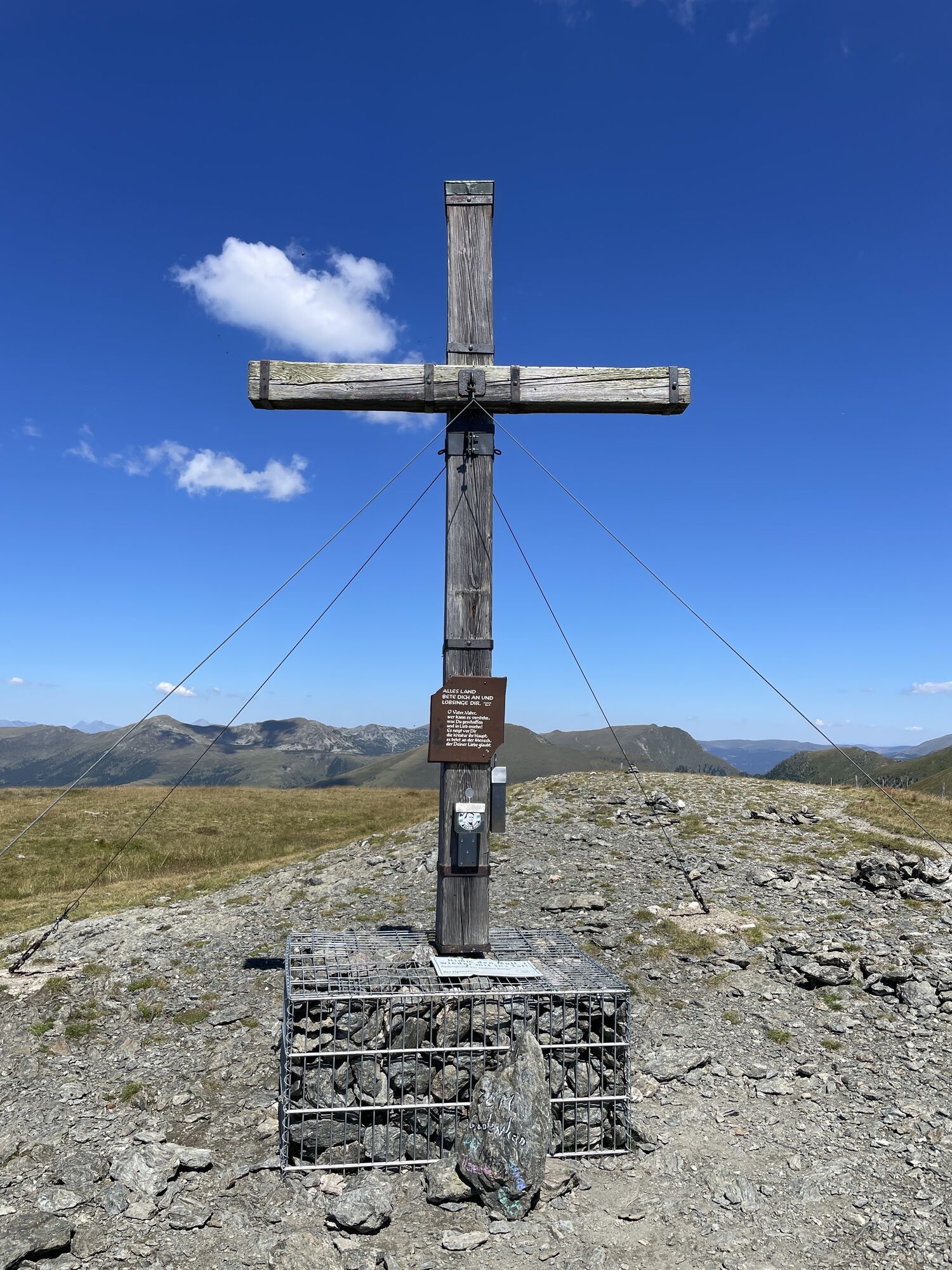
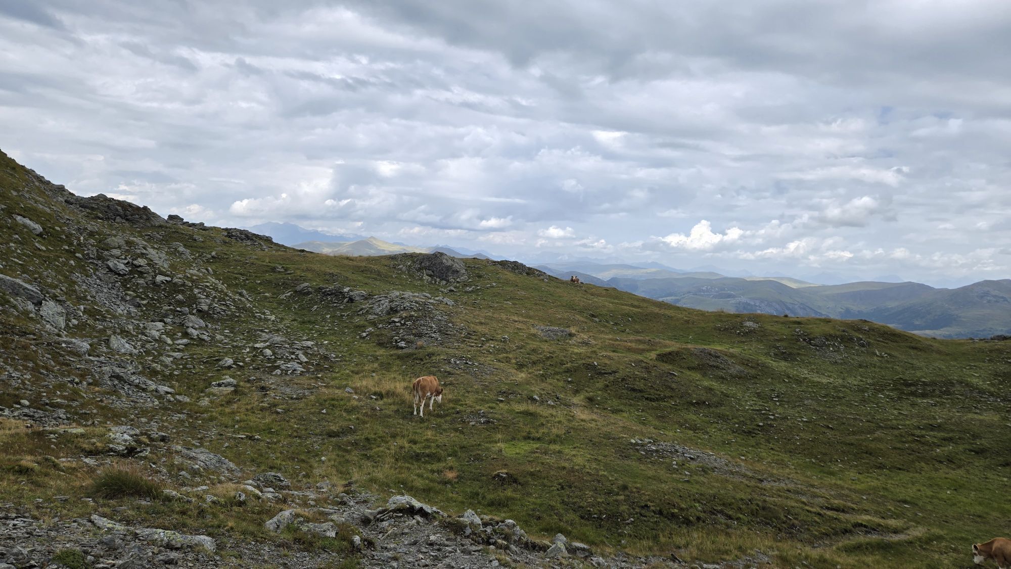
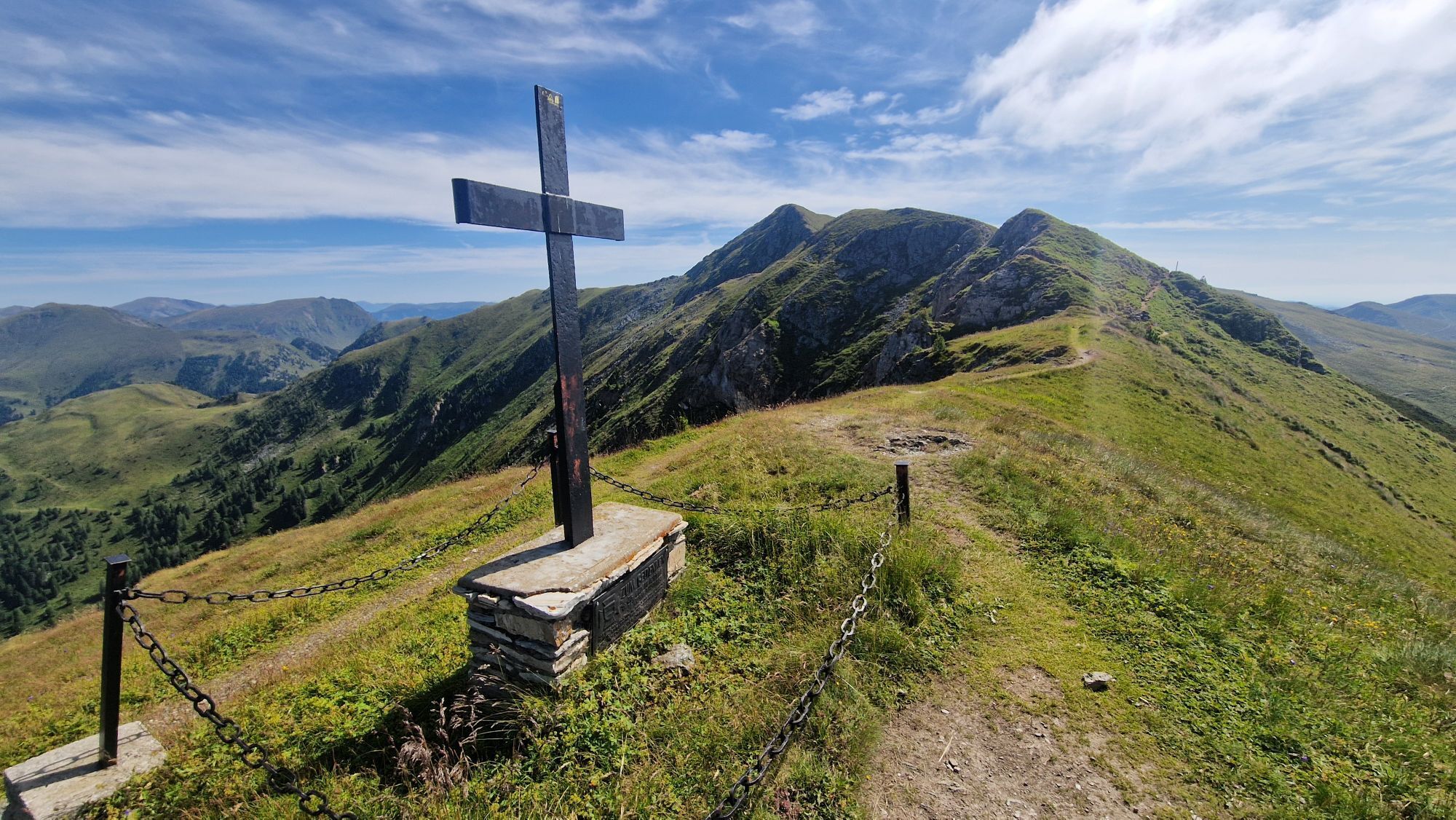
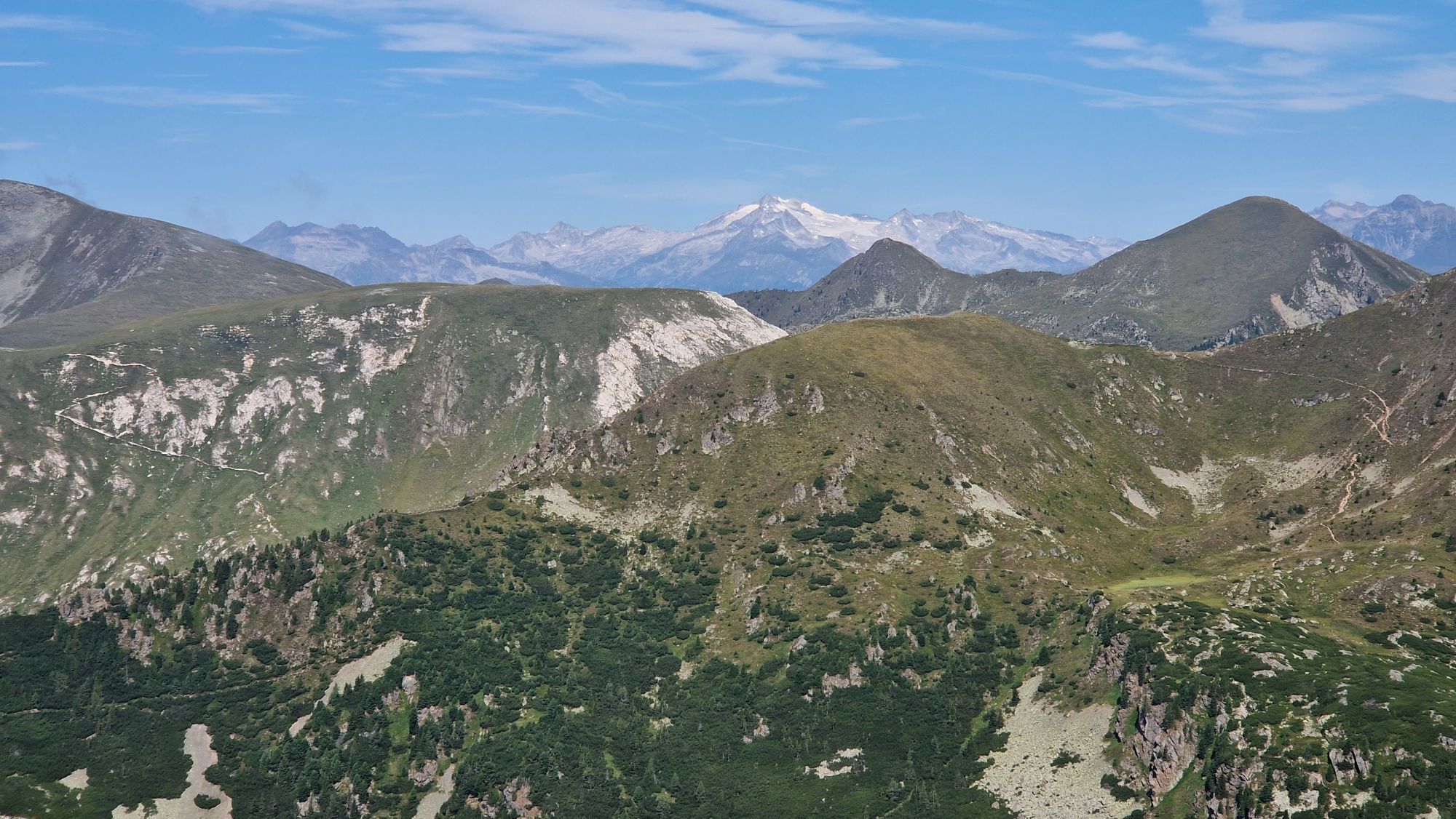
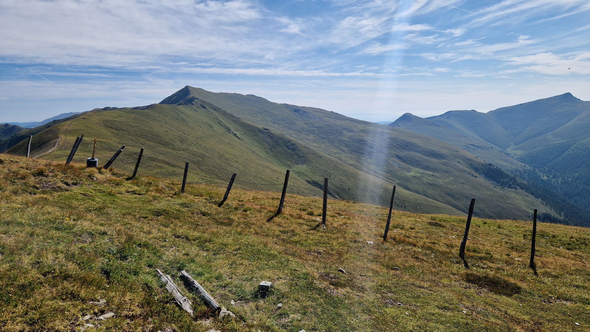
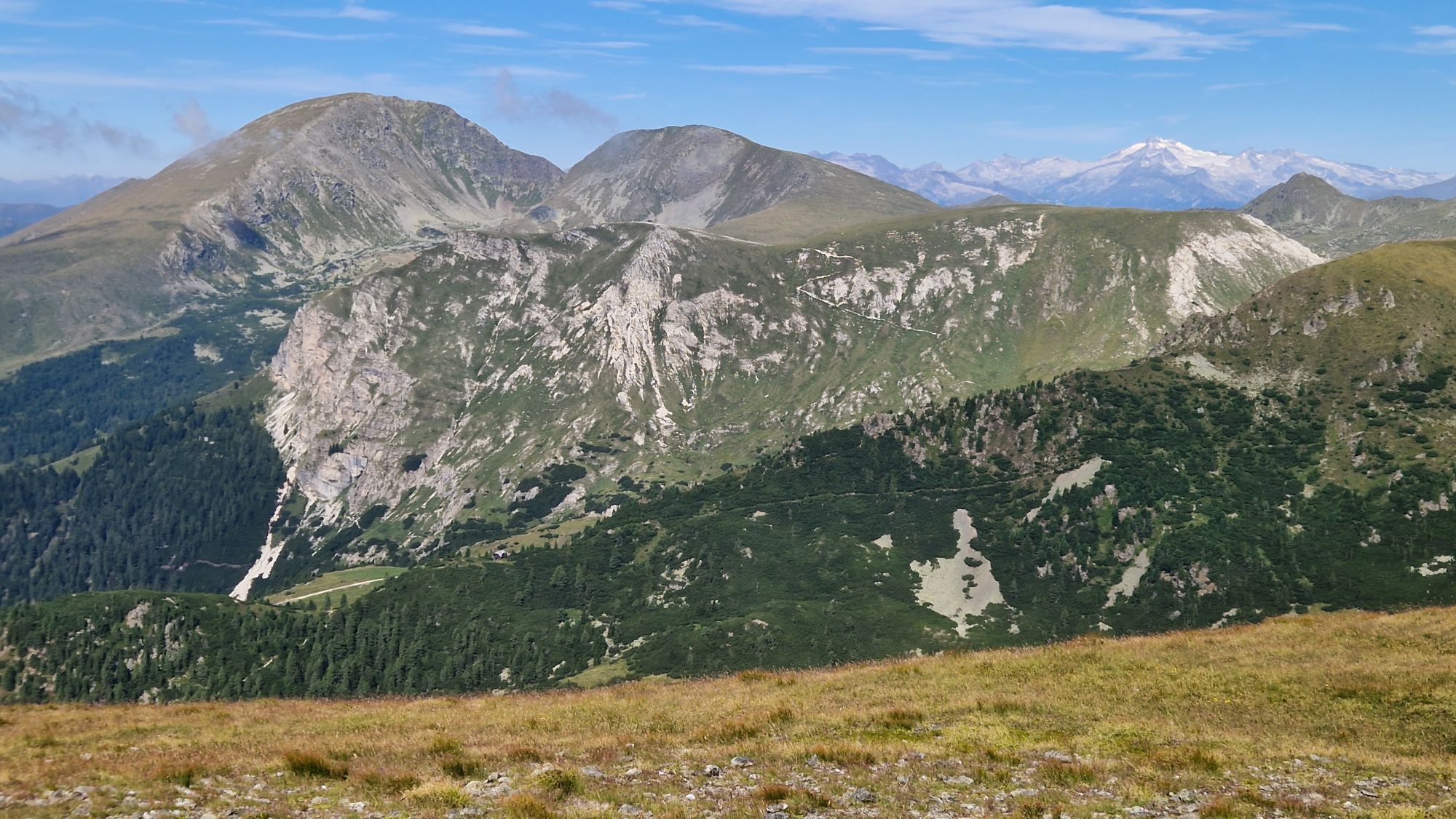
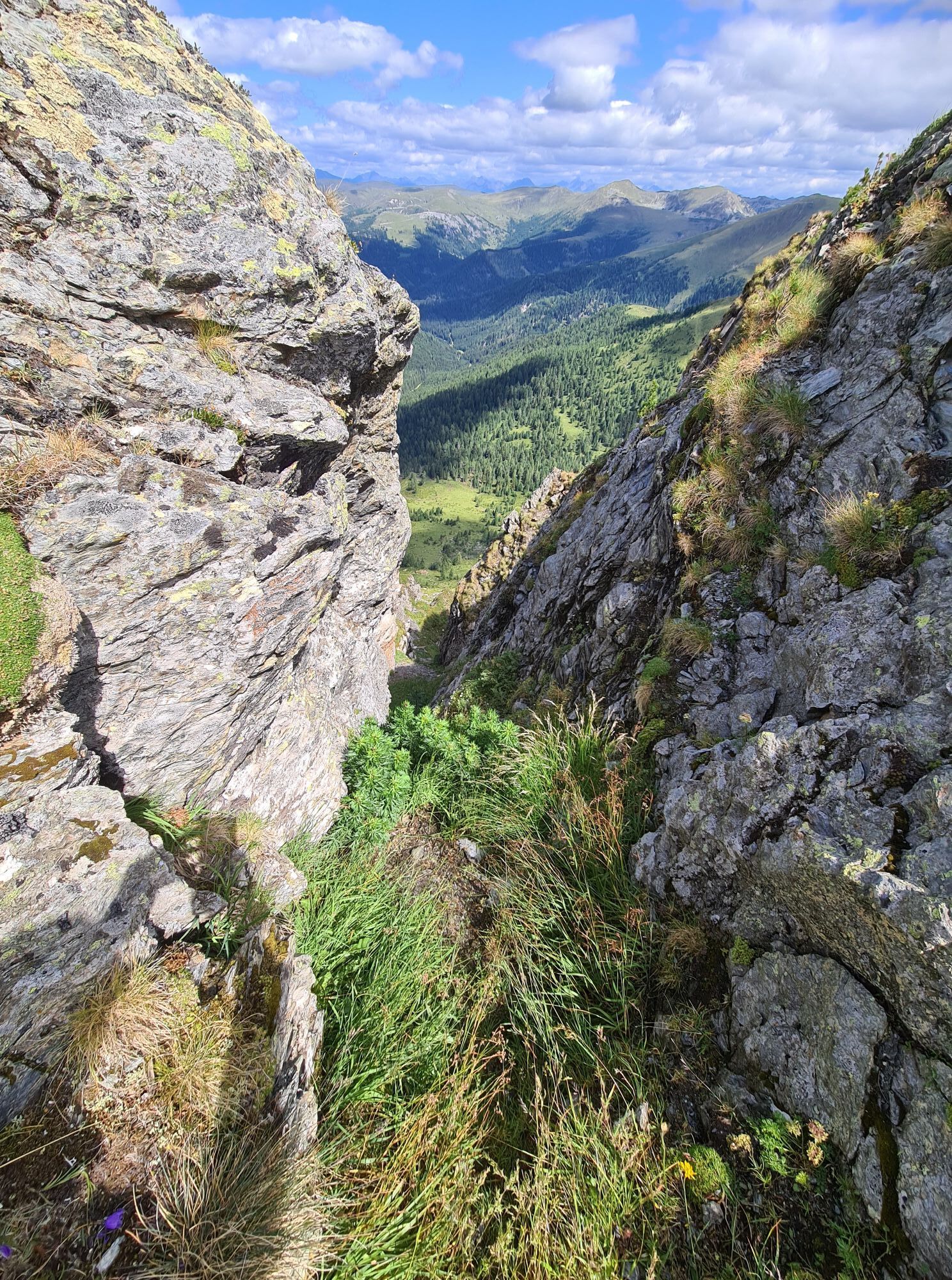
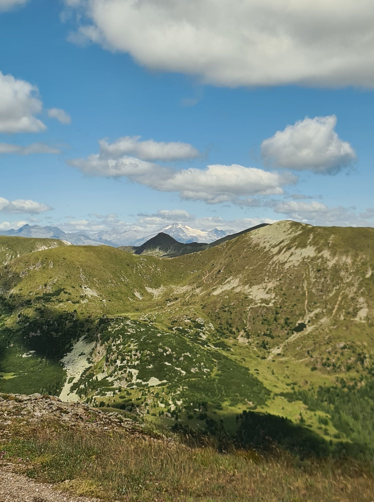
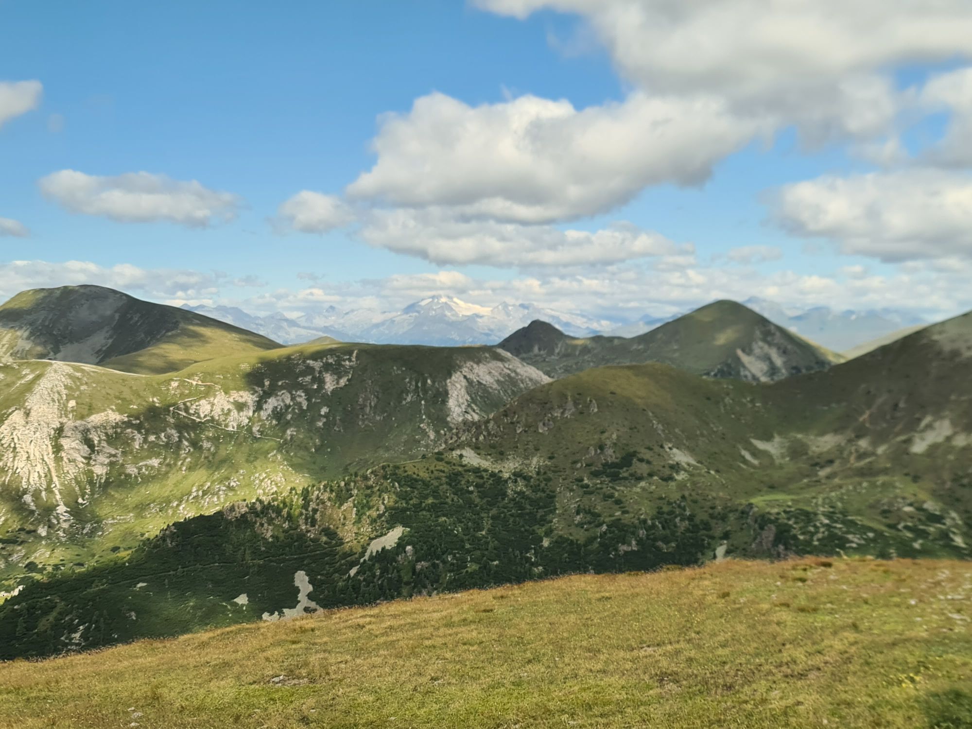
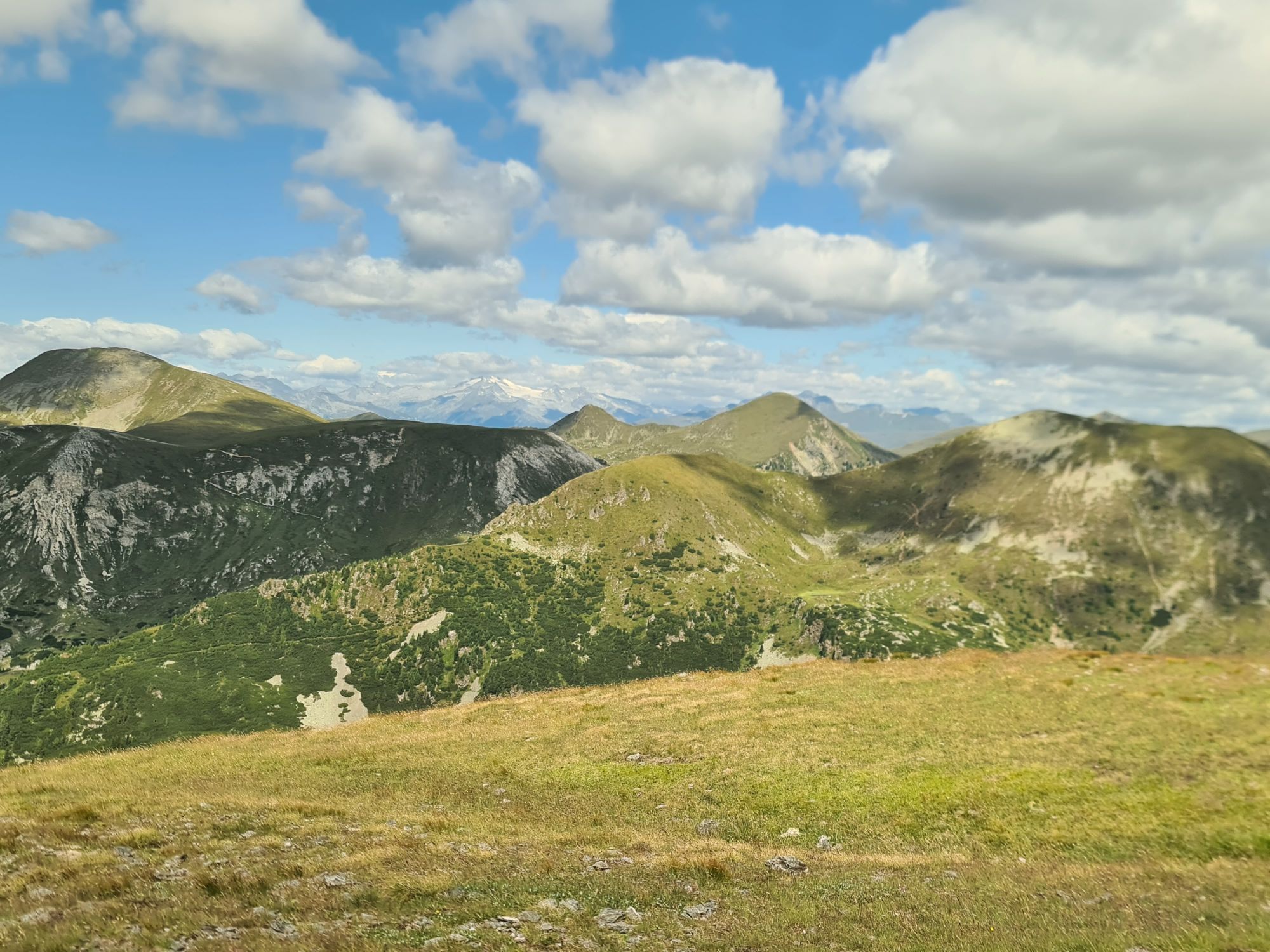
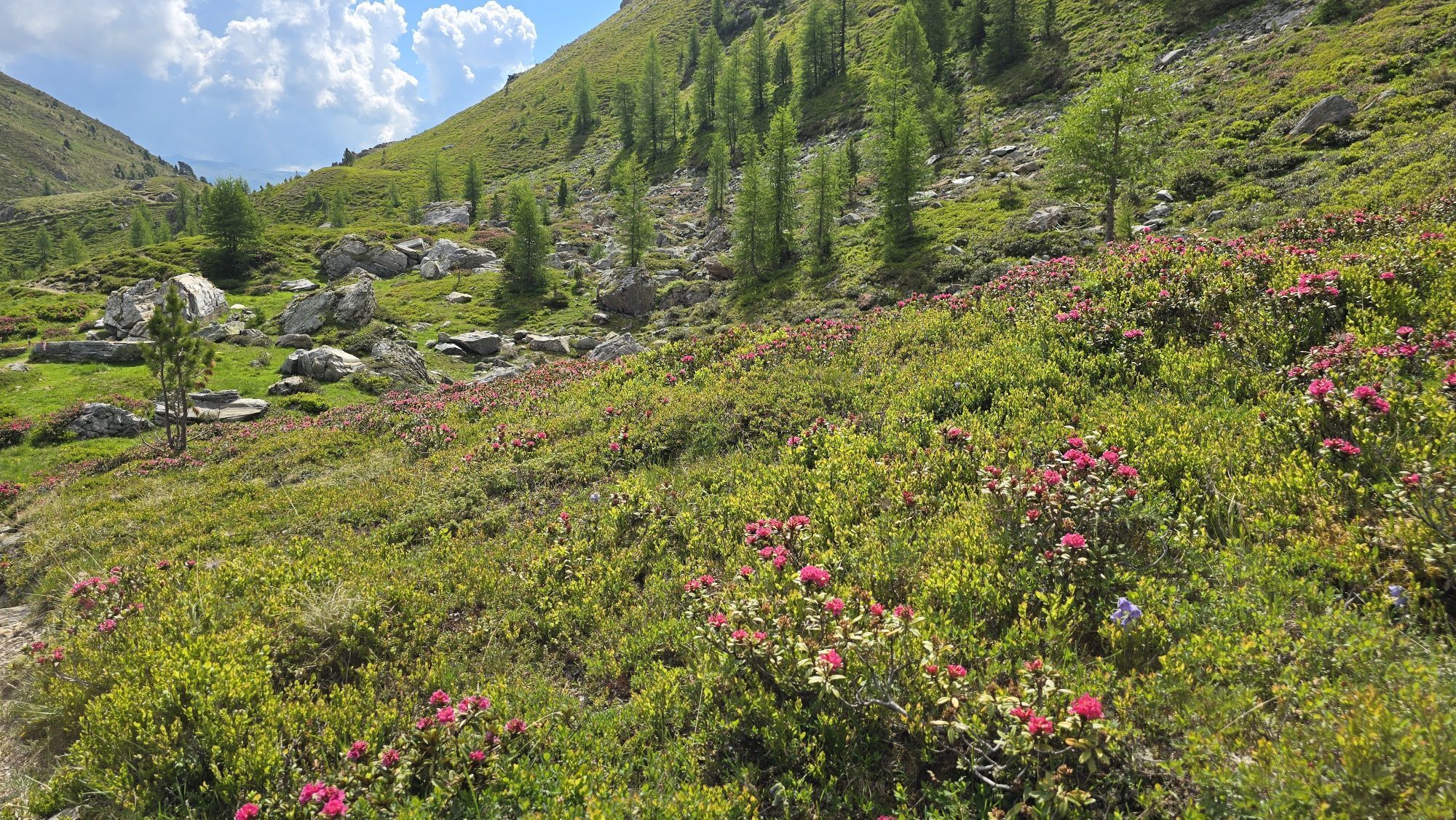
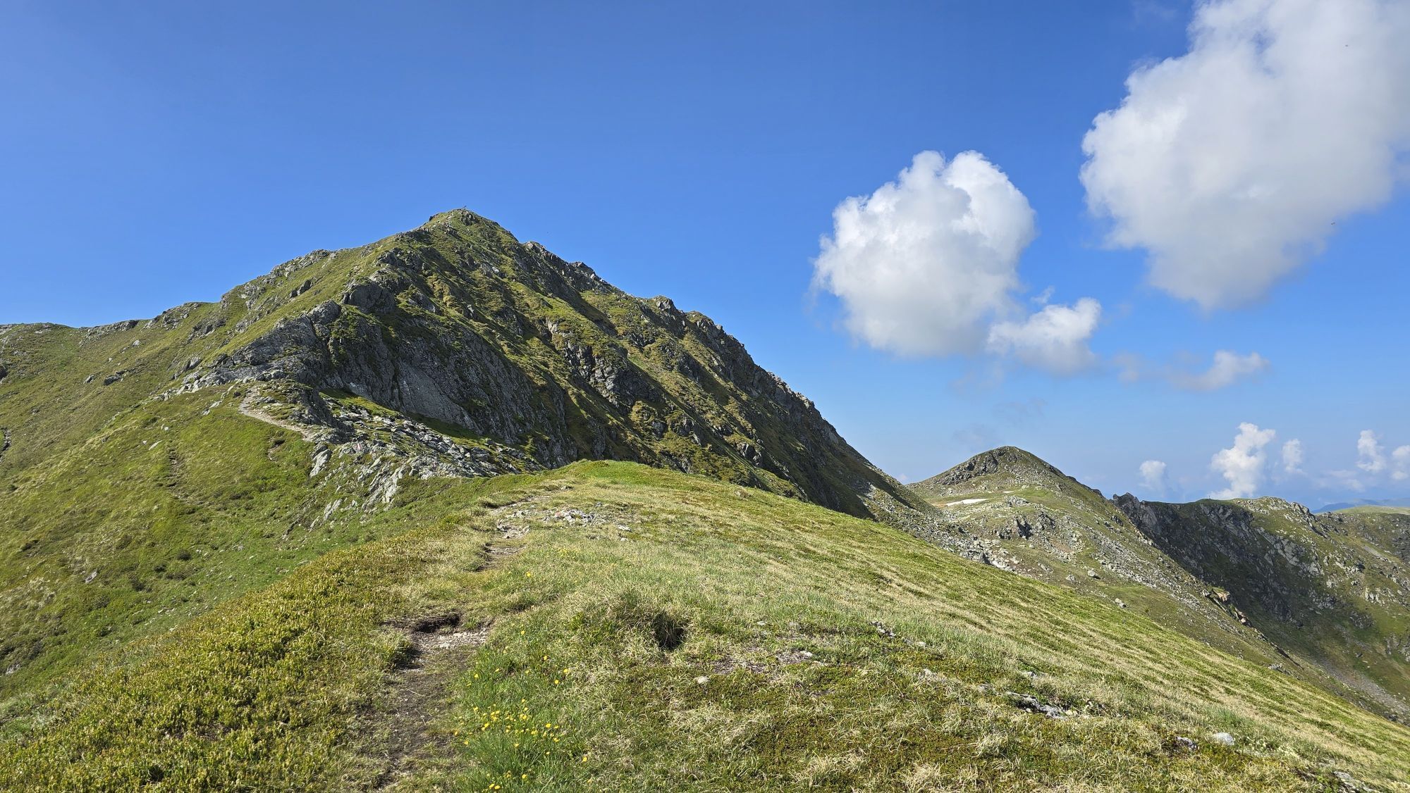
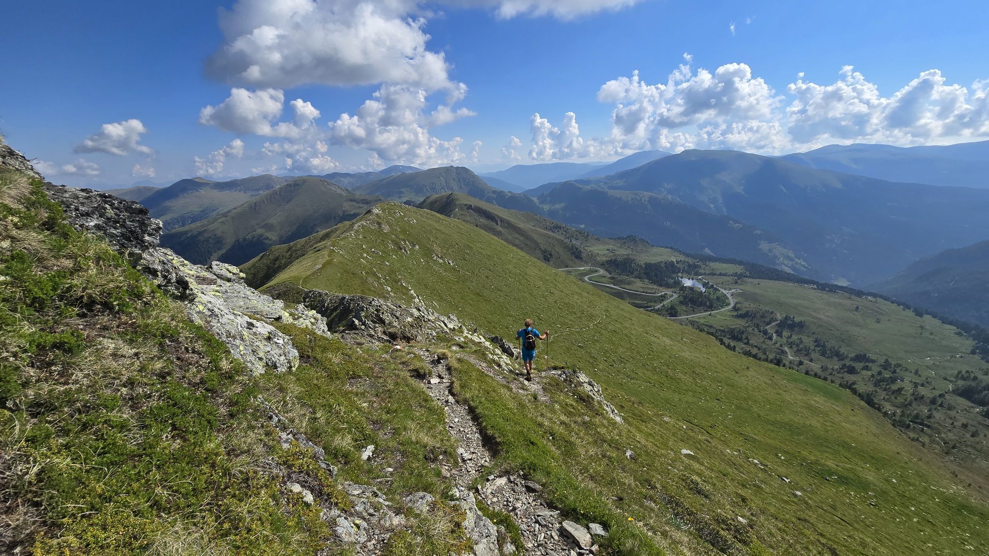
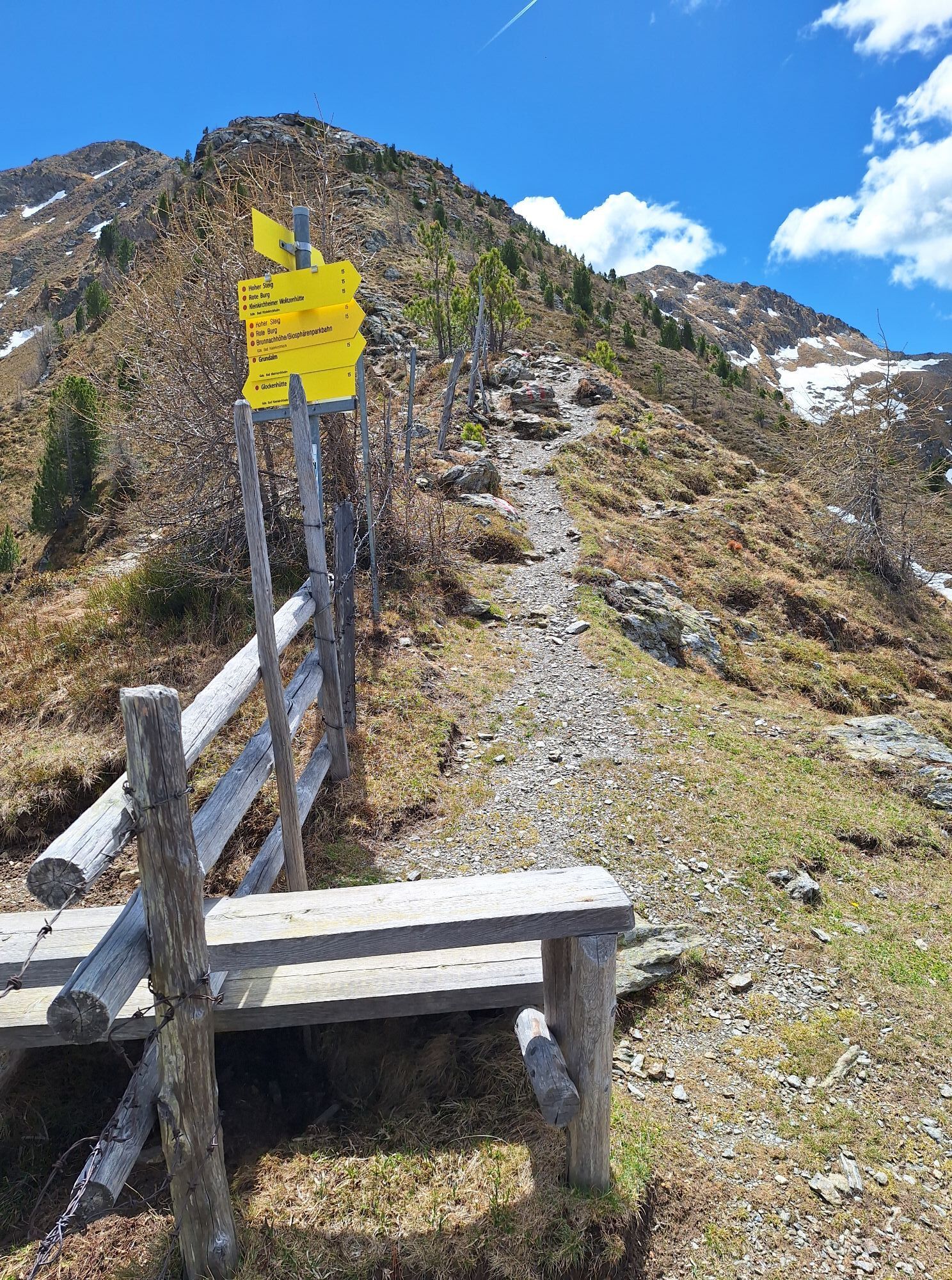
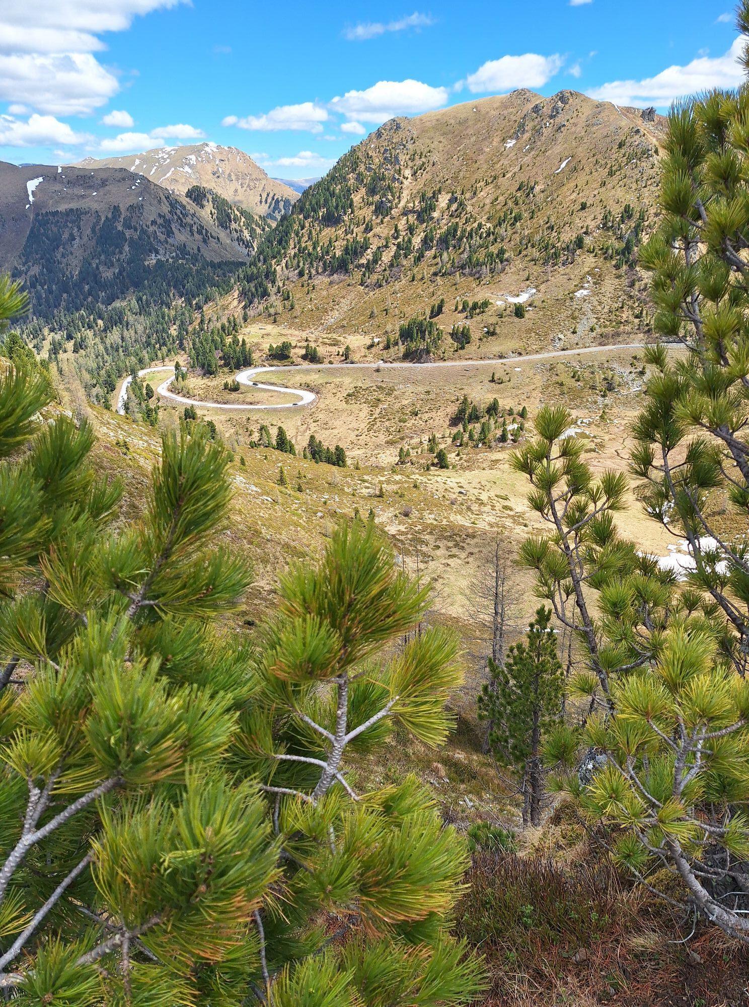
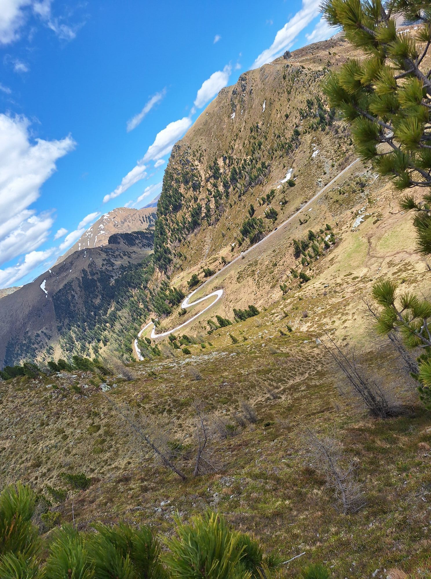
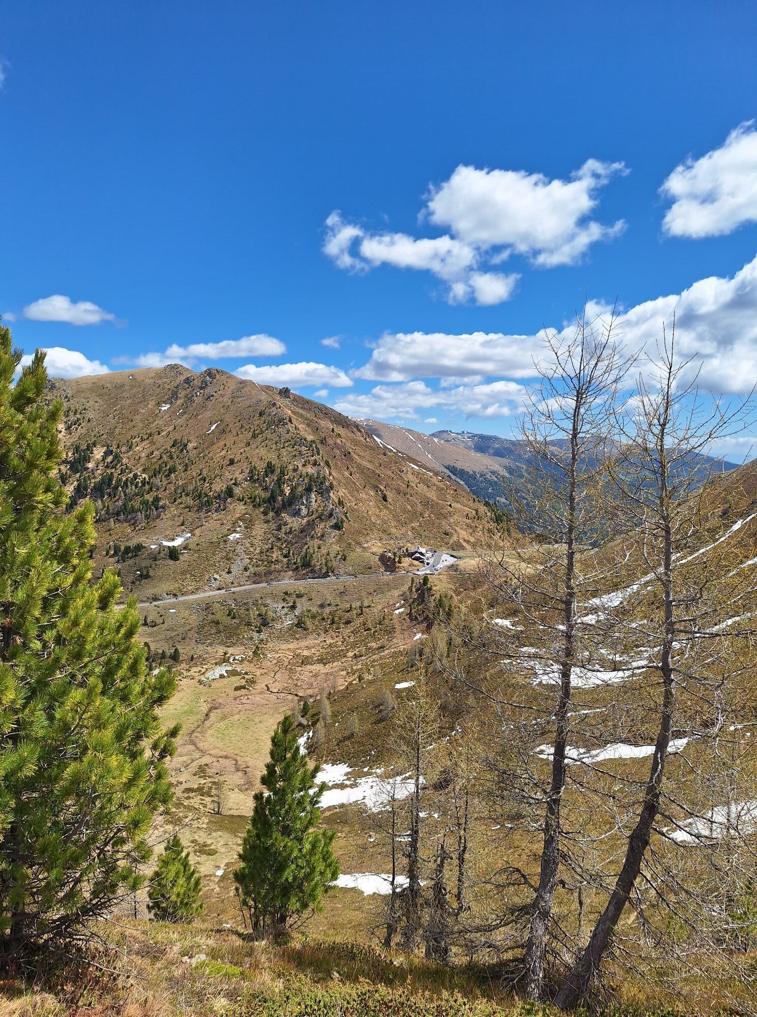
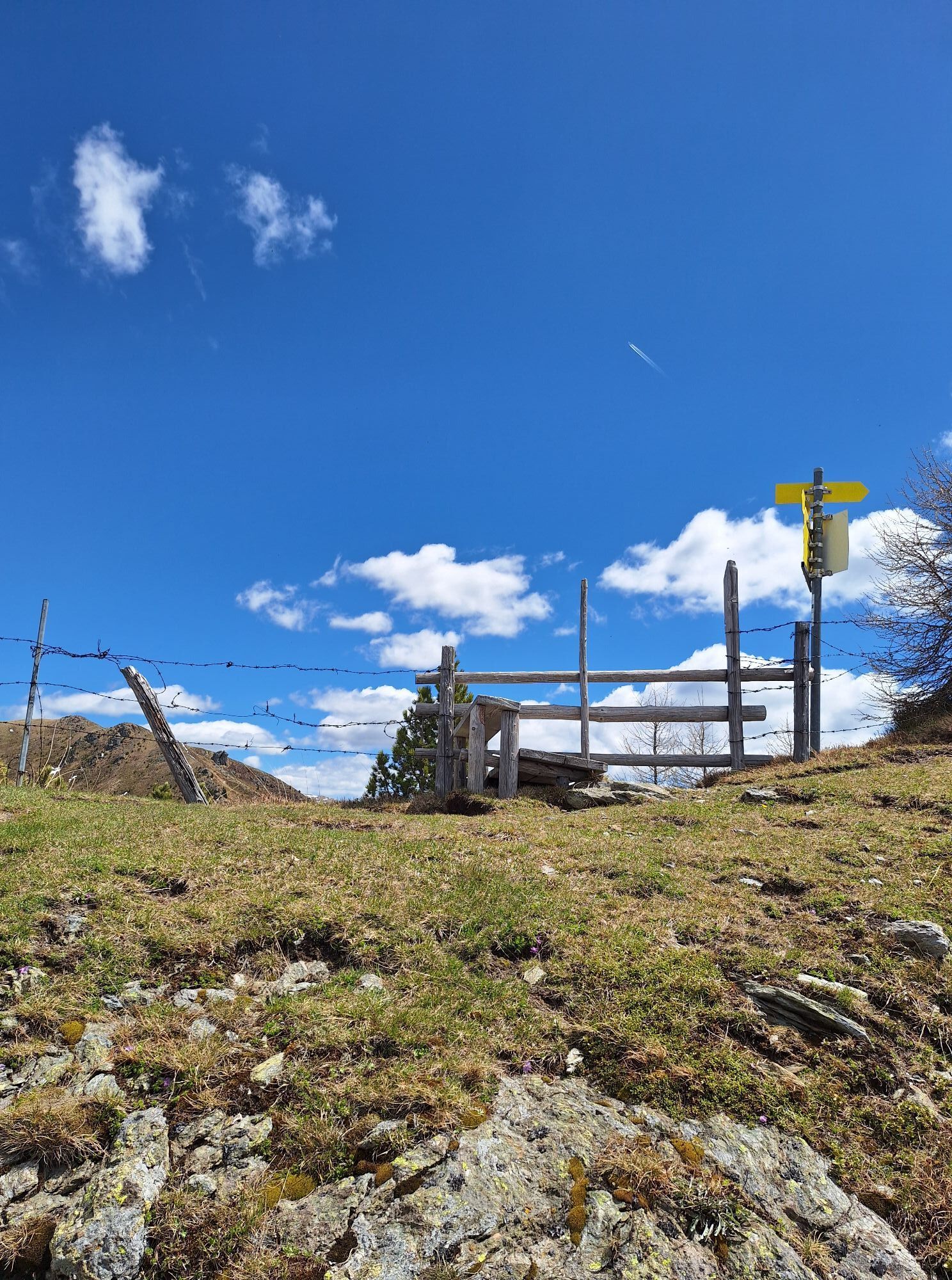
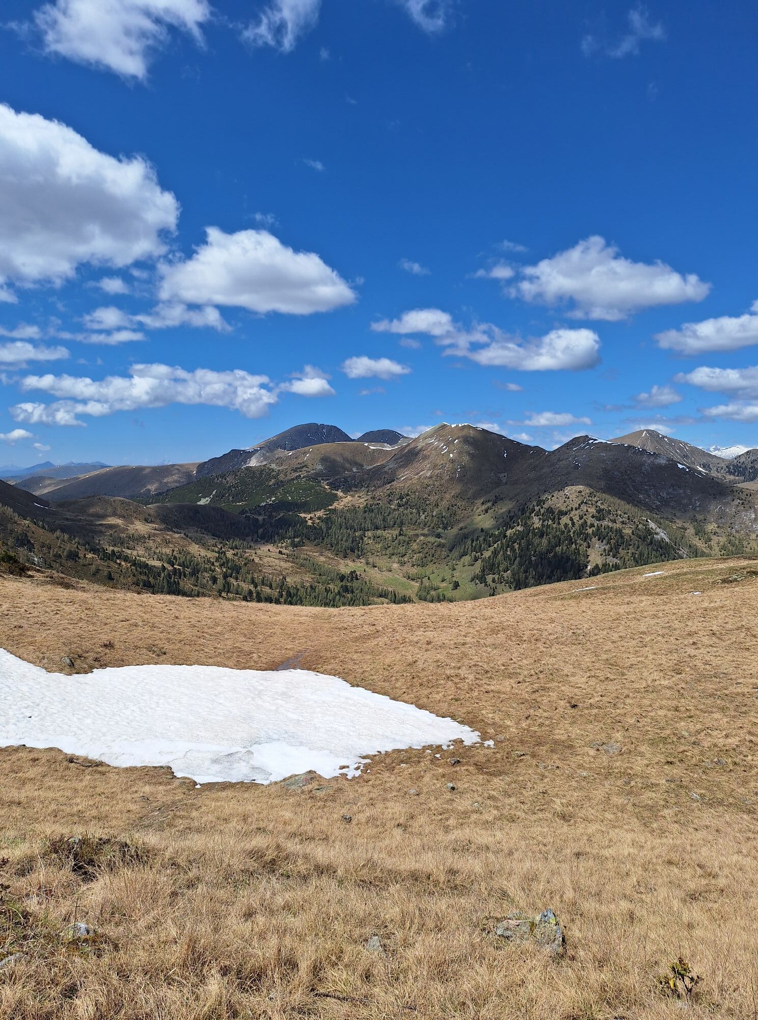
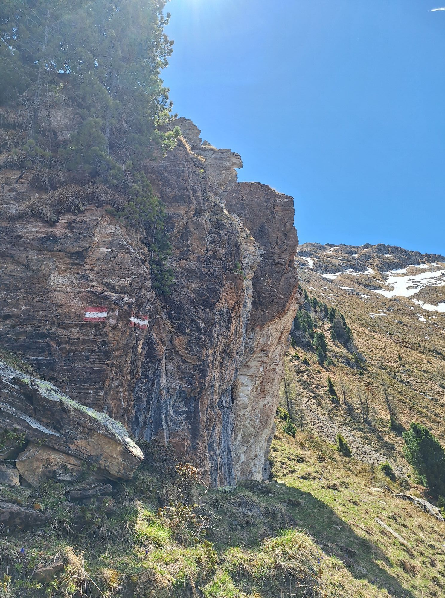
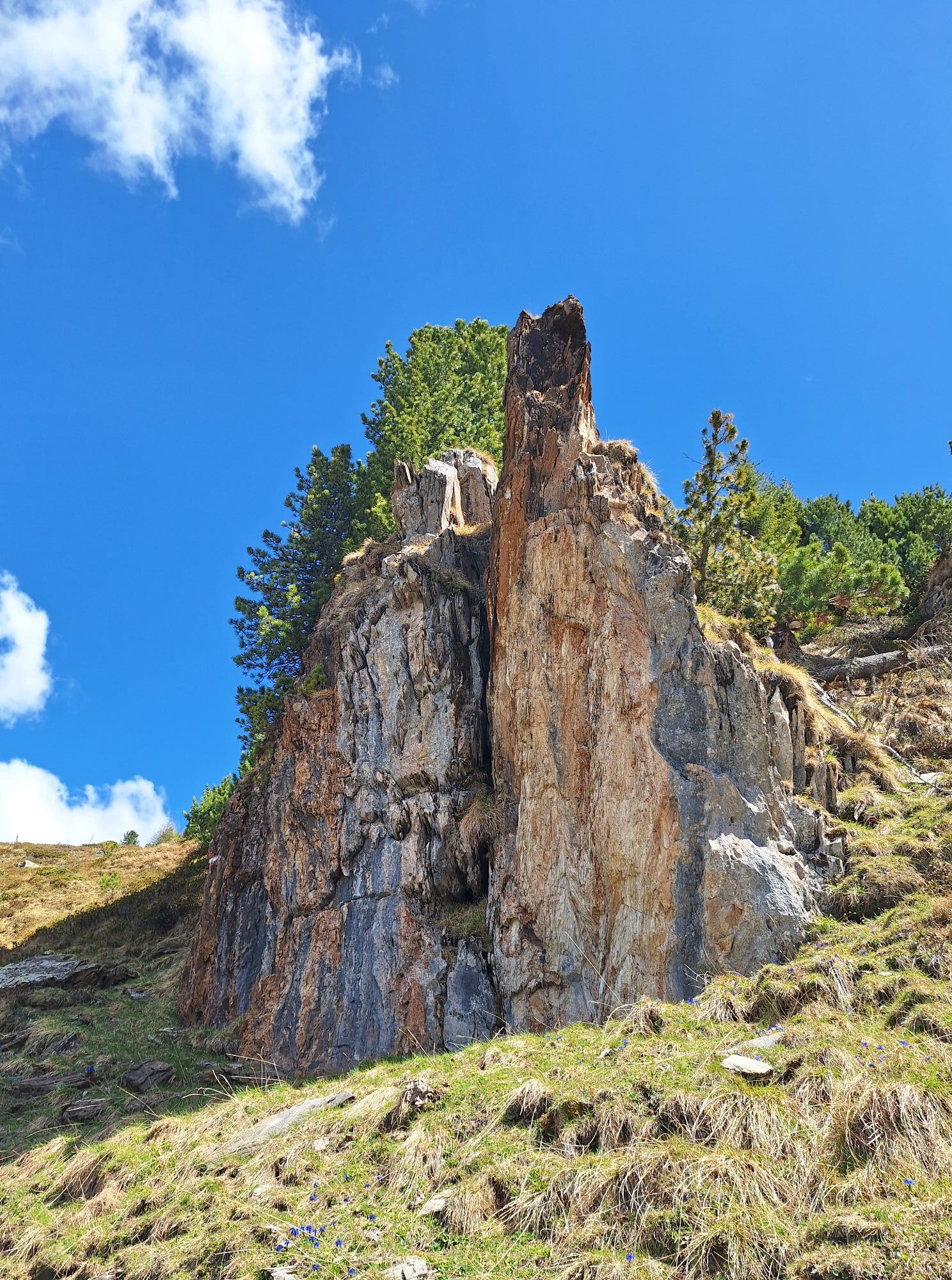
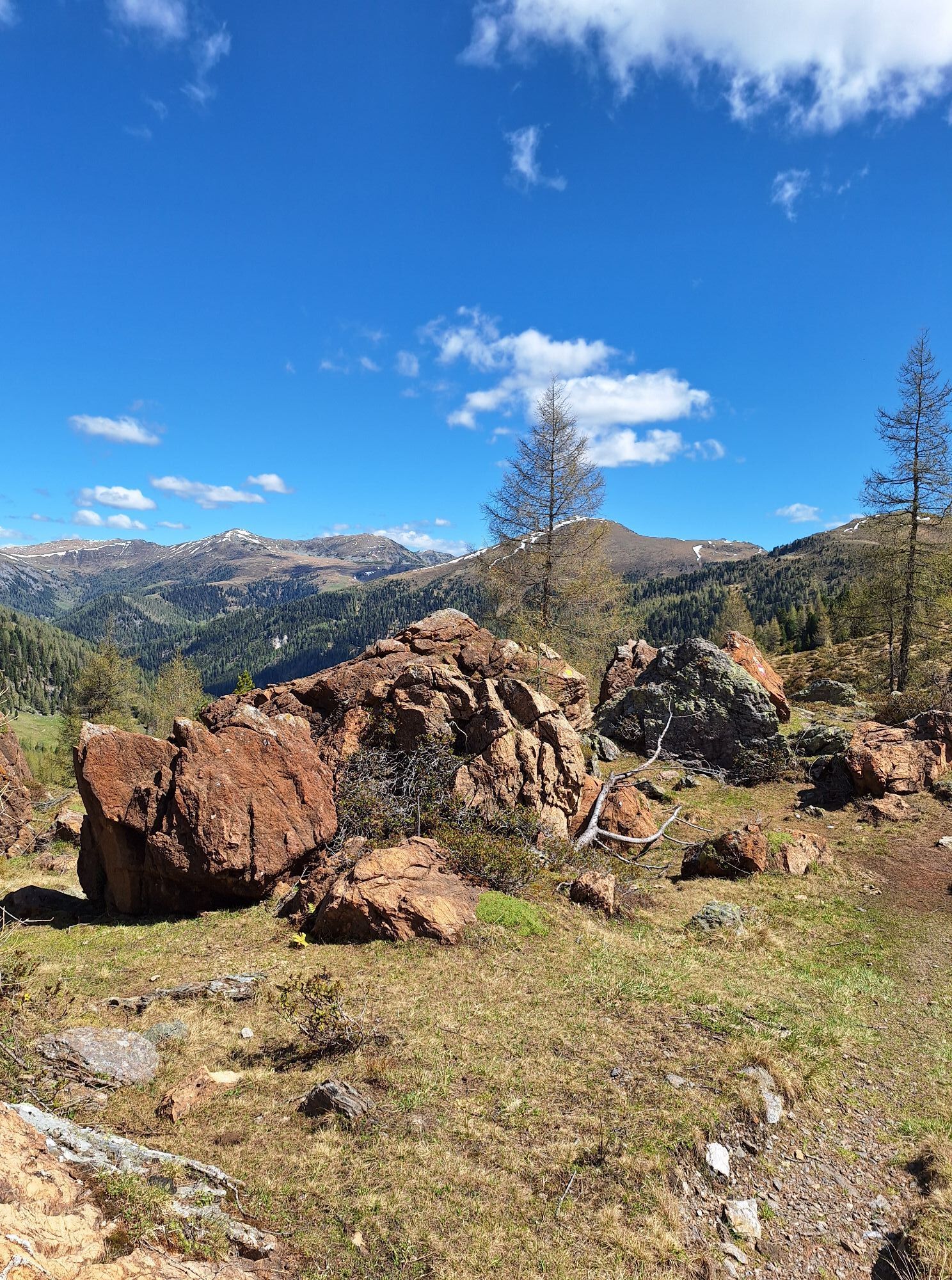
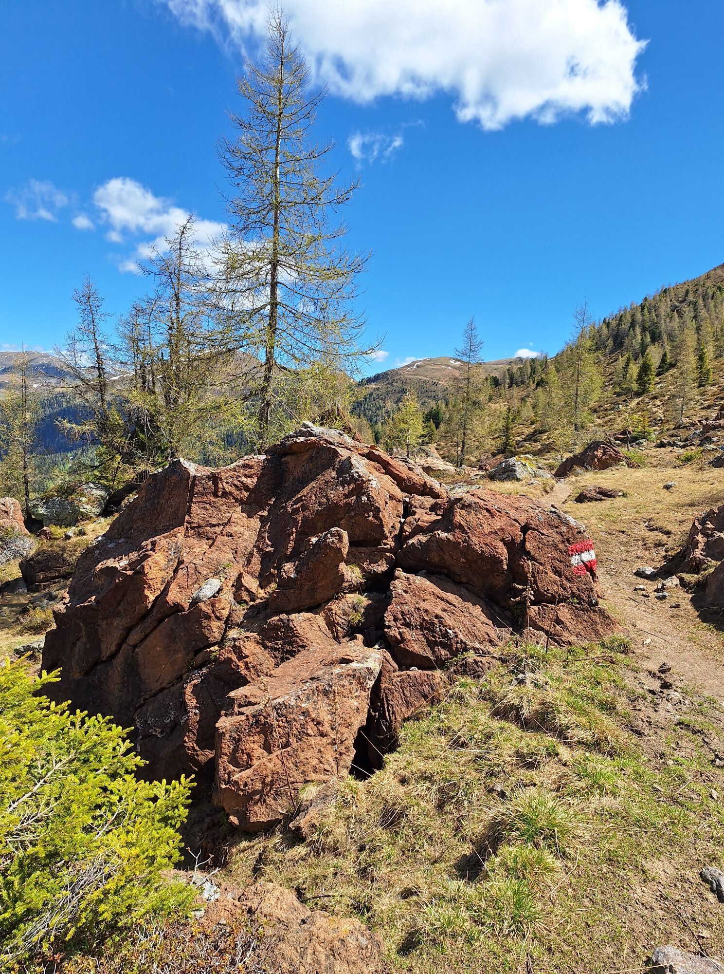
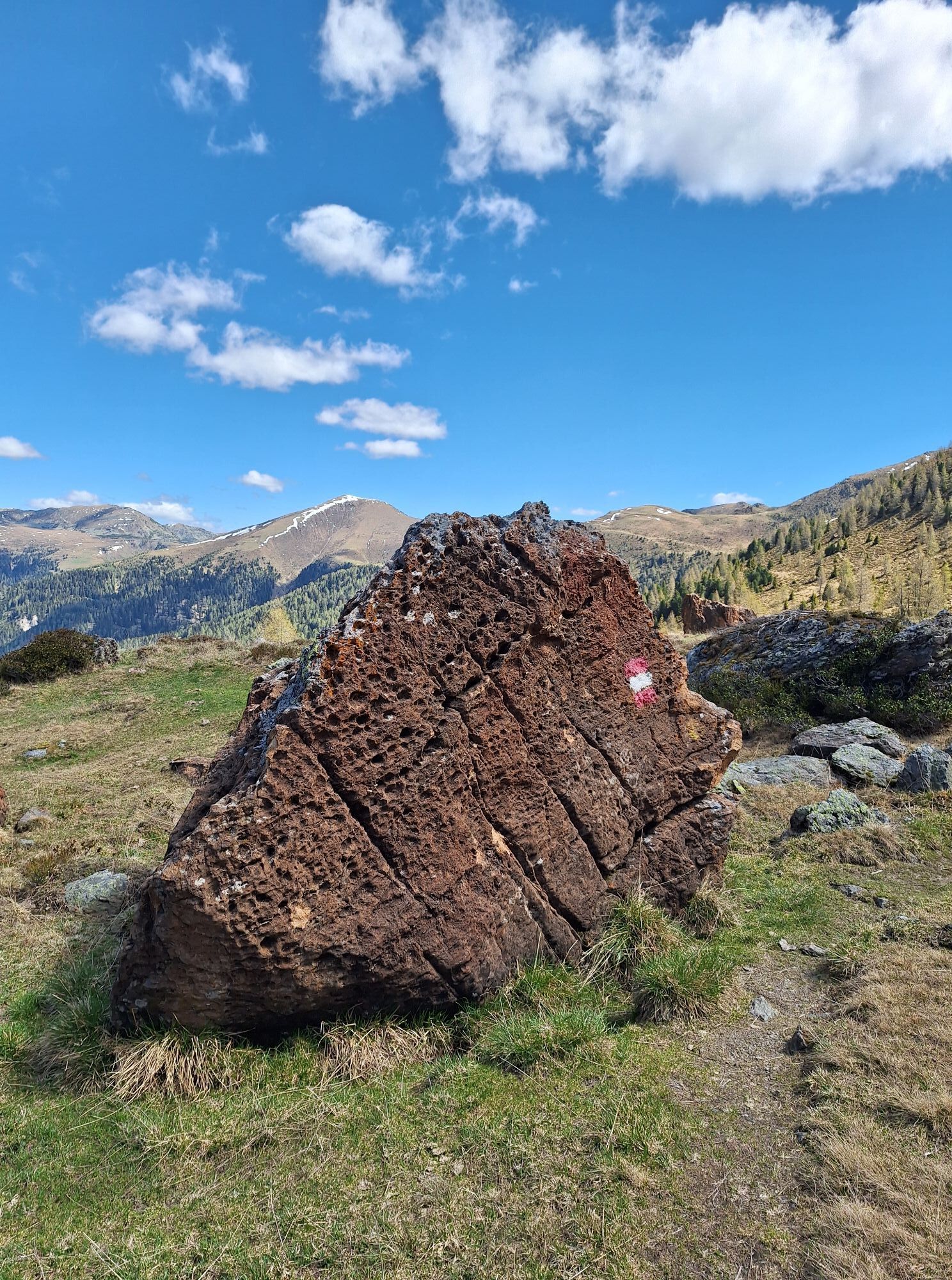
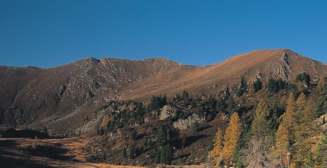

From Glockenhütte, a marked trail leads towards Klomnock. Along this path, you are rewarded with a wonderful view of the Windebensee. Upon reaching Klomnock, you switch to trail 161, which follows the ridge to Mallnock. Here, there is an impressive view of Großer Rosennock (the highest mountain in the Nockberge National Park). The route continues to Brunnachgatter and along trail 1614 to the "Rote Burg," a dolomite stone with iron content that glows red in the sunlight. From there, you return along trail 15 via the Hoher Steig back to Glockenhütte. P.S.: Those who want to learn more about the fauna and flora in the national park should visit the information station at Glockenhütte!
By car directly via the Nockalmstraße to Glockenhütte, 23 km from Innerkrems, 12 km from Ebene Reichenau. For Kärnten Card holders, the use of the Nockalmstraße is free of charge.
Public parking available
Geology Tip: Dolomite Rock
The geological peculiarity of the Nockberge lies in the occurrence of a limestone and dolomite rock formation that formed about 230 million years ago from the calcareous deposits of the ancient sea. A band up to 3 km wide runs across the national park and is especially visible in the area of Zunderwand and Eisentalhöhe.



Spletne kamere s turneje

Dejavnosti na poti

Reichenau, Kärnten/Österreich
19.09.2026 – Pohodništvo
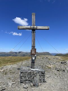
Klomnock + Mallnock⛰️
04.09.2026 – Gorski pohodništvo
Bad Kleinkirchheim, Kärnten/Österreich
14.08.2026 – Pohodništvo
Reichenau, Carinthia/Austria
14.08.2026 – Pohodništvo
Reichenau, Kärnten/Österreich
03.08.2026 – Pohodništvo
Reichenau, Kärnten/Österreich
23.07.2026 – Gorski pohodništvo
Reichenau, Kärnten/Österreich
13.07.2026 – PohodništvoKlomnock, Kärnten/Österreich
09.07.2026 – PohodništvoReichenau, Kärnten/Österreich
06.06.2026 – PohodništvoReichenau, Kärnten/Österreich
27.08.2025 – Pohodništvo
Bad Kleinkirchheim, Kärnten/Österreich
12.08.2025 – Pohodništvo
Priljubljeni izleti v okolici
- 4.6
Turracher 3 Seen Weg - Weg der Sinne zwischen Berg & See
svetlobaTematska pot 7.15 km - 4.9
Schönfeld: Großer Königstuhl
srednjaPohodništvo 11.2 km - 4.8
Schoberriegel - Schönebennock -
svetlobaPohodništvo 9.88 km - 4.8
Enzian-Granatsteig & Almbrunn Steig
svetlobaPohodništvo 8 km - 4.9
Nockbergrundwanderweg
srednjaPohodništvo 6.62 km - 4.7
Falkertsee - Sonntagstal - Falkert
srednjaPohodništvo 4.84 km - 4.8
Gr. Königsstuhl, Nockalm, Kärnten
srednjaGorski pohodništvo 7.15 km - 4.8
Lammersdorfer Hütte, Granattor Runde
svetlobaPohodništvo 9.85 km - 4.8
H-2-O Höhenweg
svetlobaTematska pot 5.40 km - 4.7
Große Rosennock Runde
Pohodništvo 9.80 km
Pohodništvo in sledenje


Ne zamudite ponudb in navdiha za naslednje počitnice
Vaš e-poštni naslov je bil dodan na poštni seznam.





