







RW_N19 Graslitzen (2,044 m)
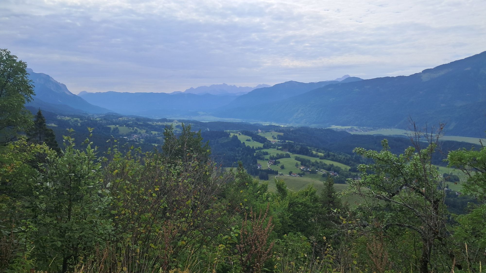
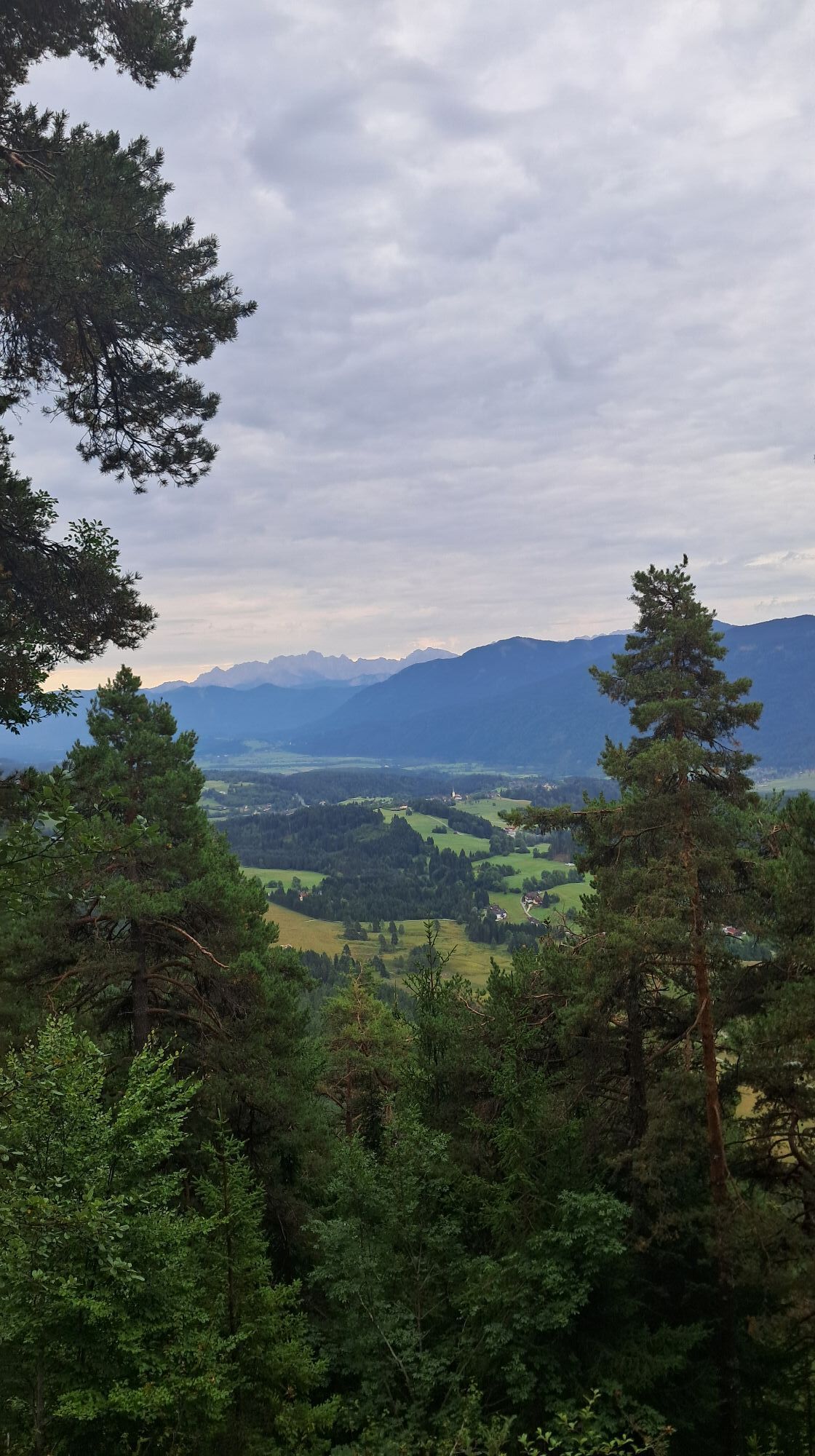
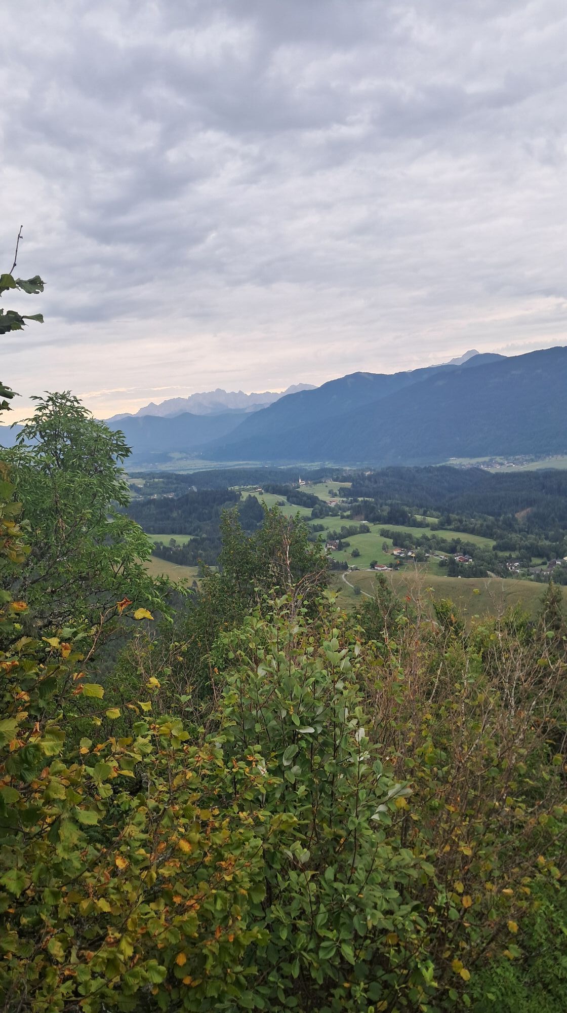
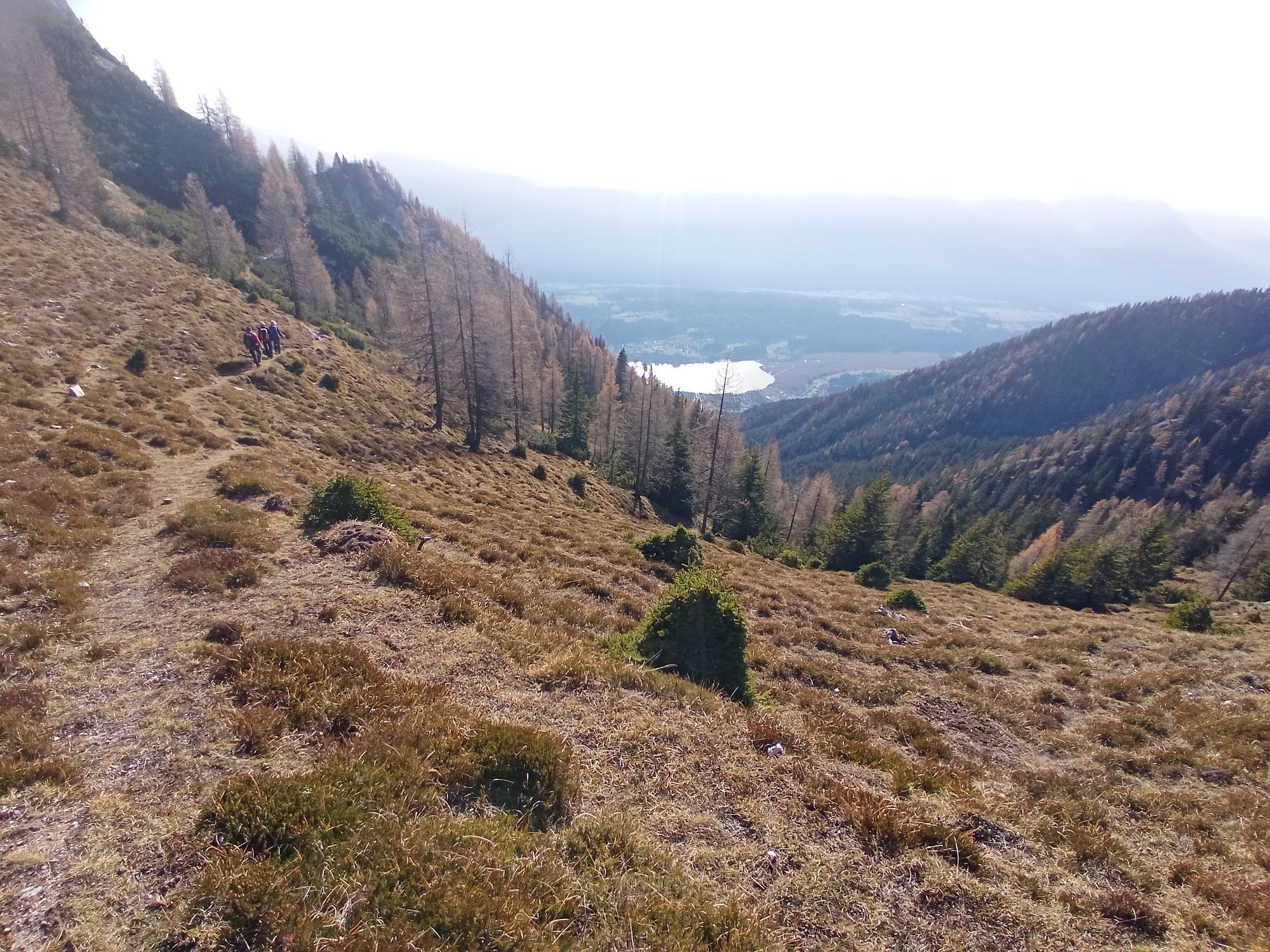
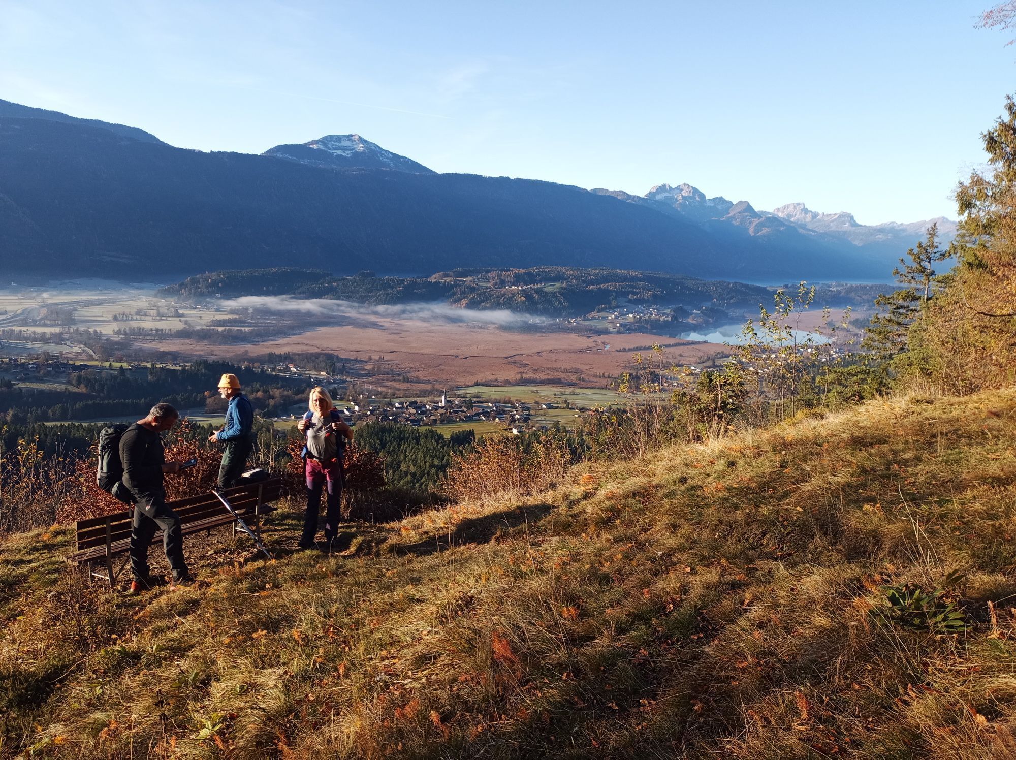
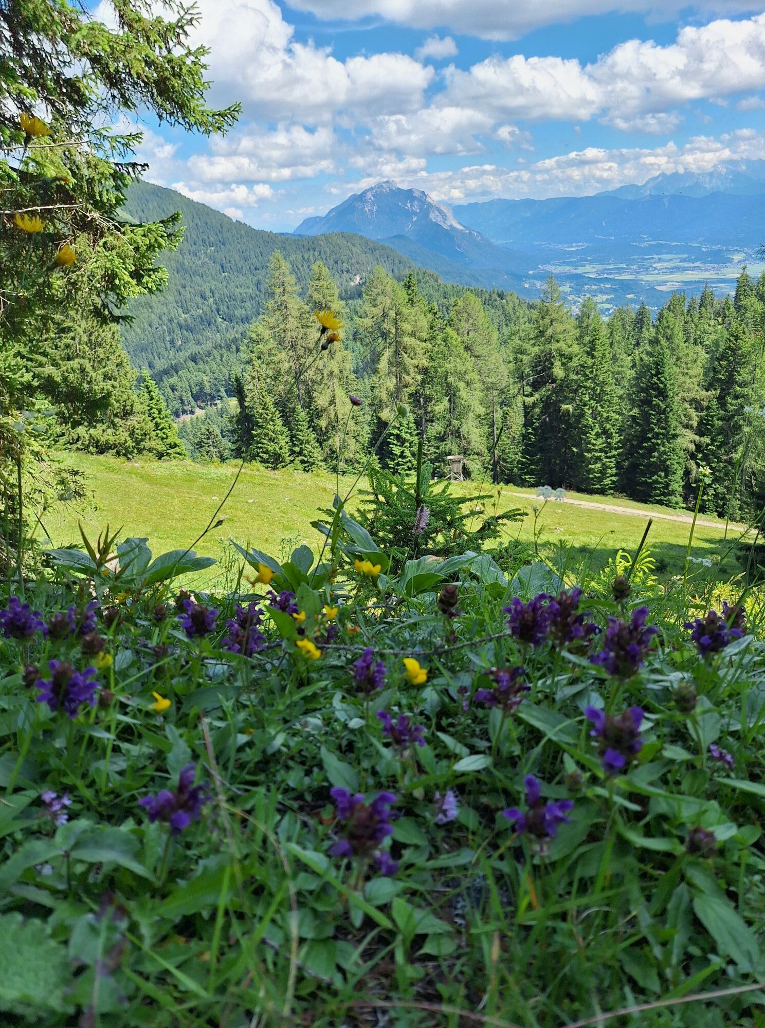
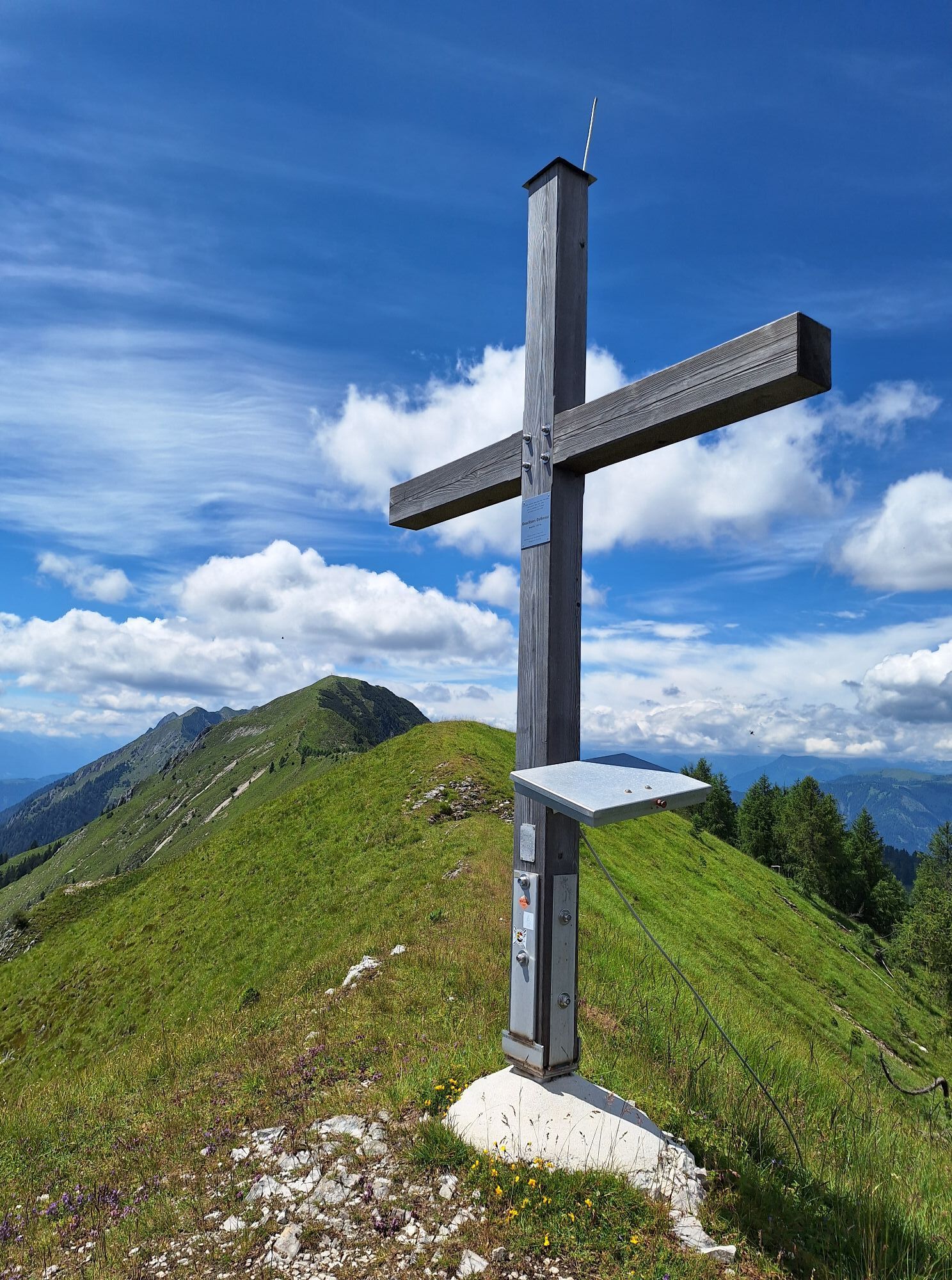
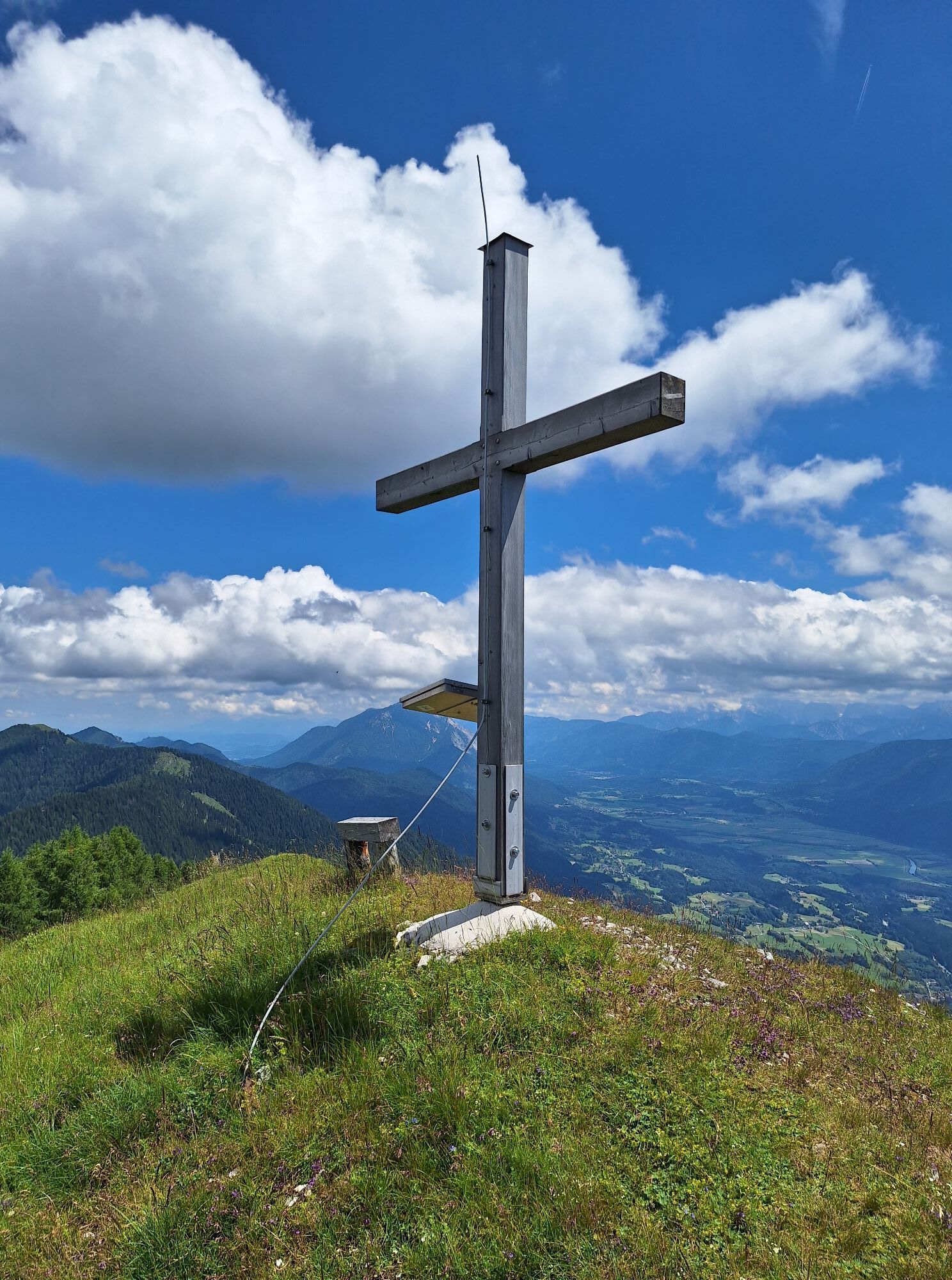
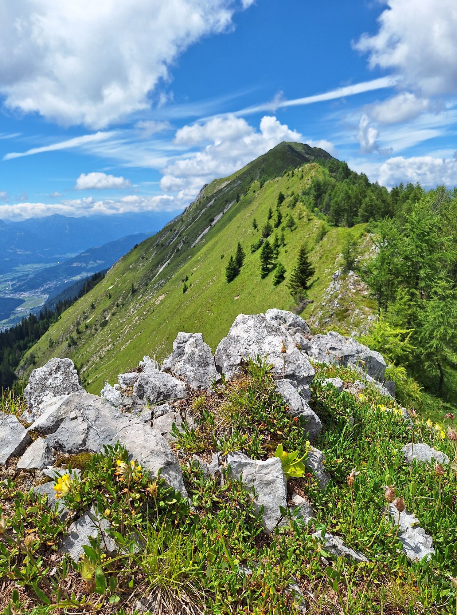
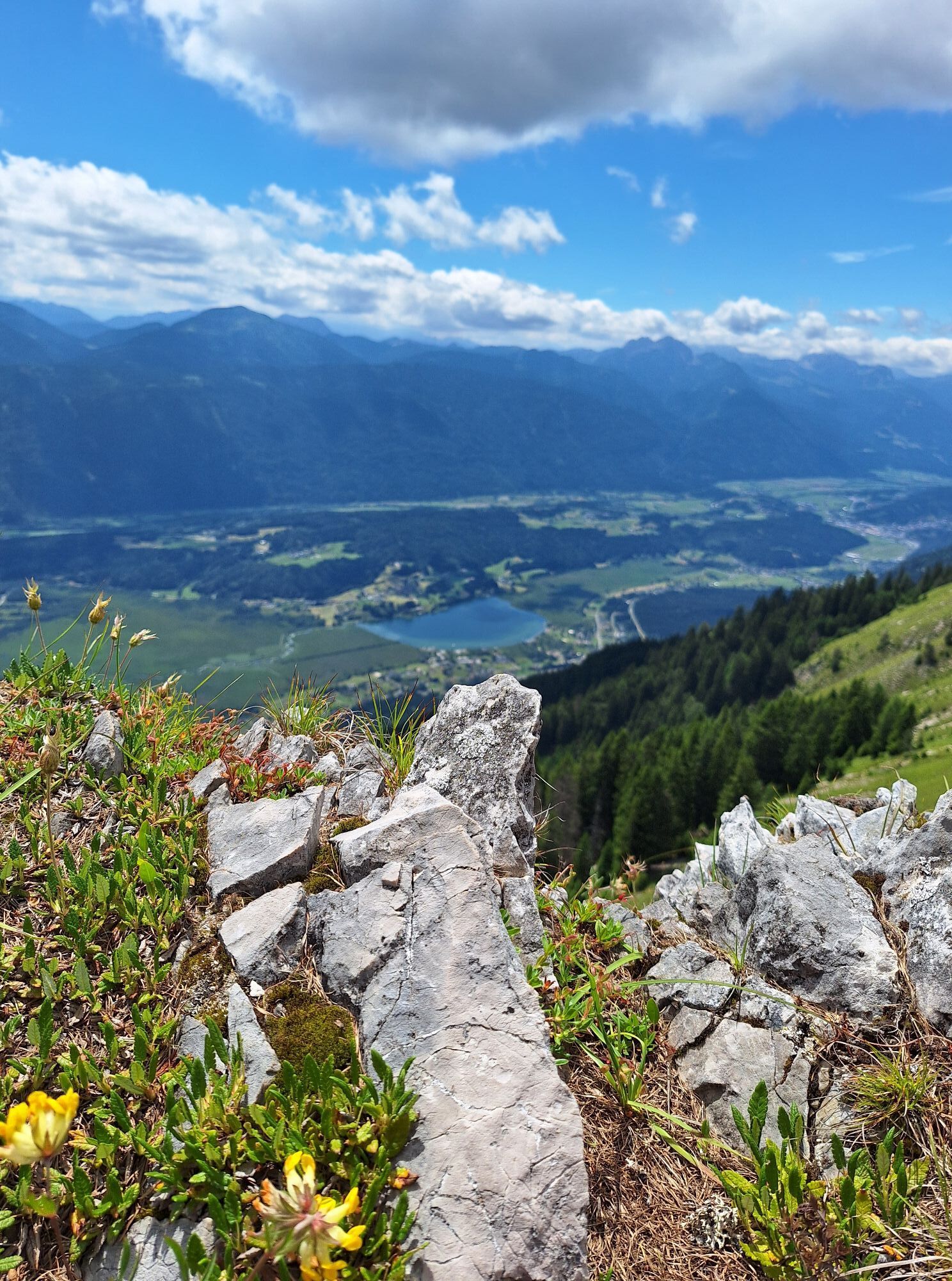
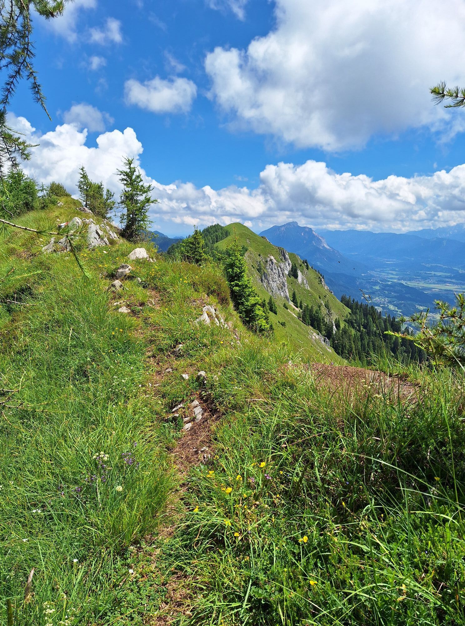
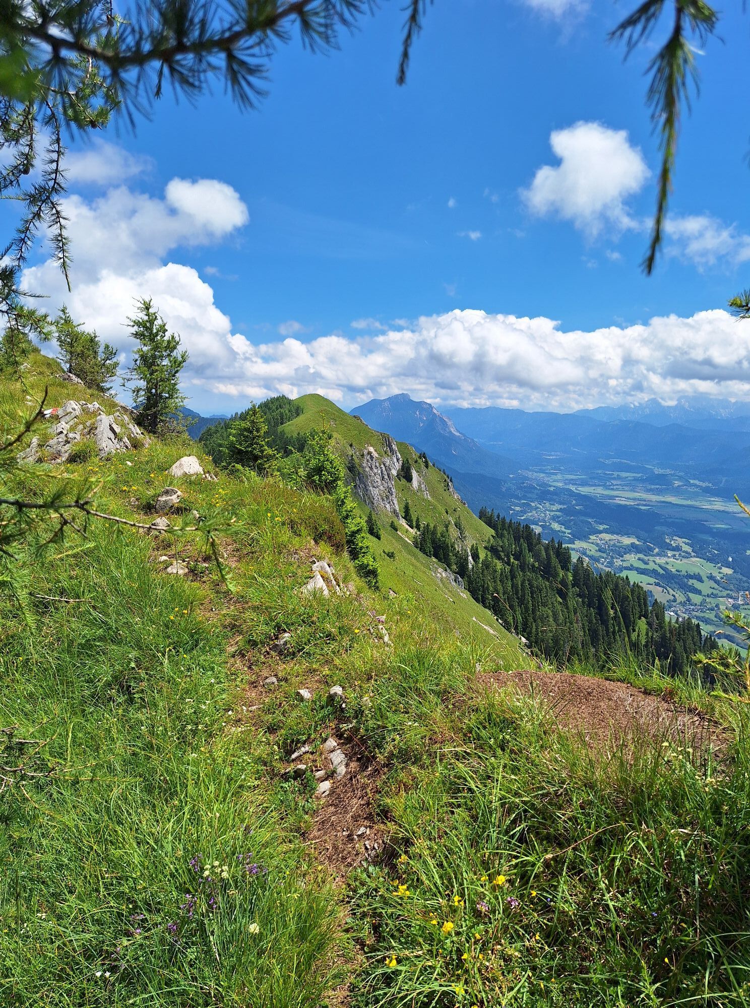
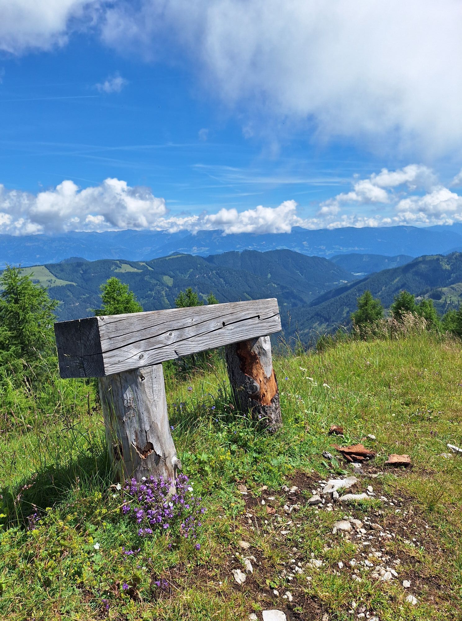
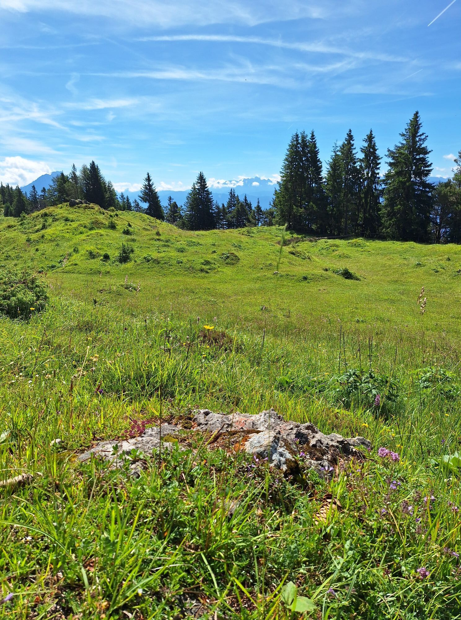
A challenging mountain hike - rewarded with an incredible panoramic view - on two peaks of the Spitzegel group, close to Lake Presseggersee.

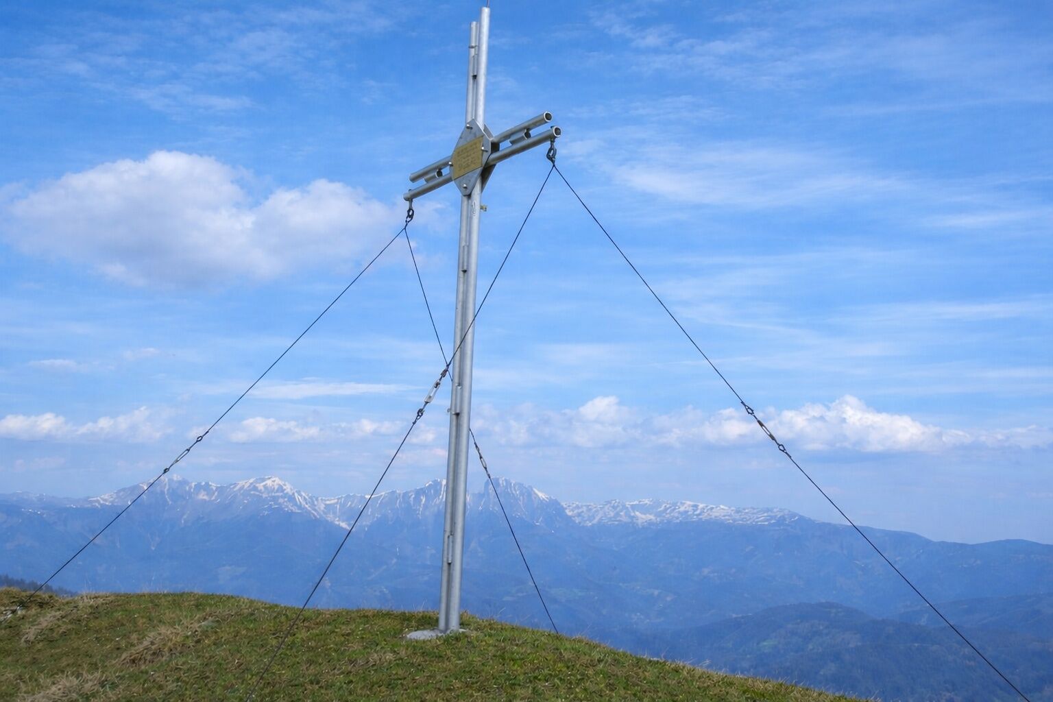
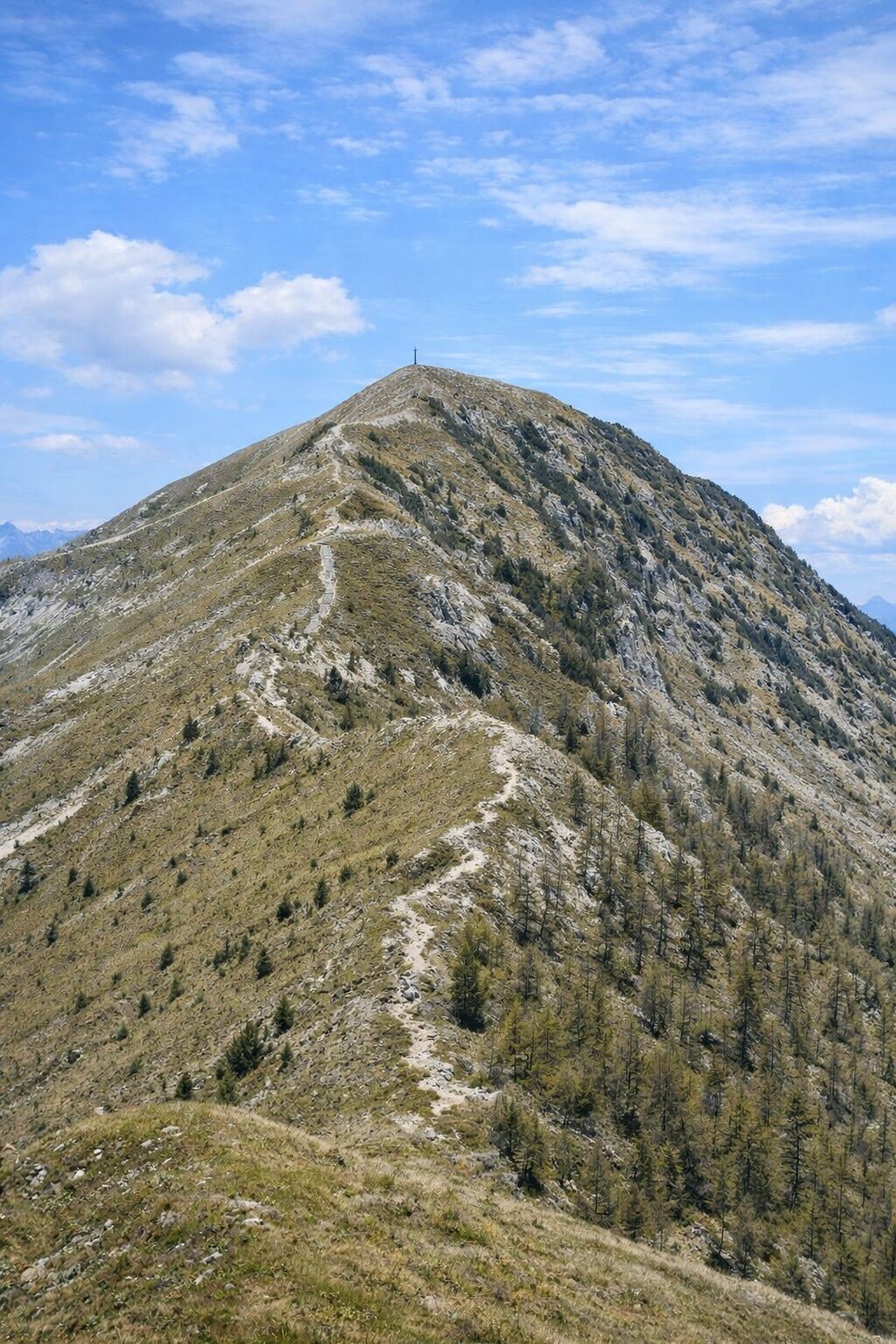

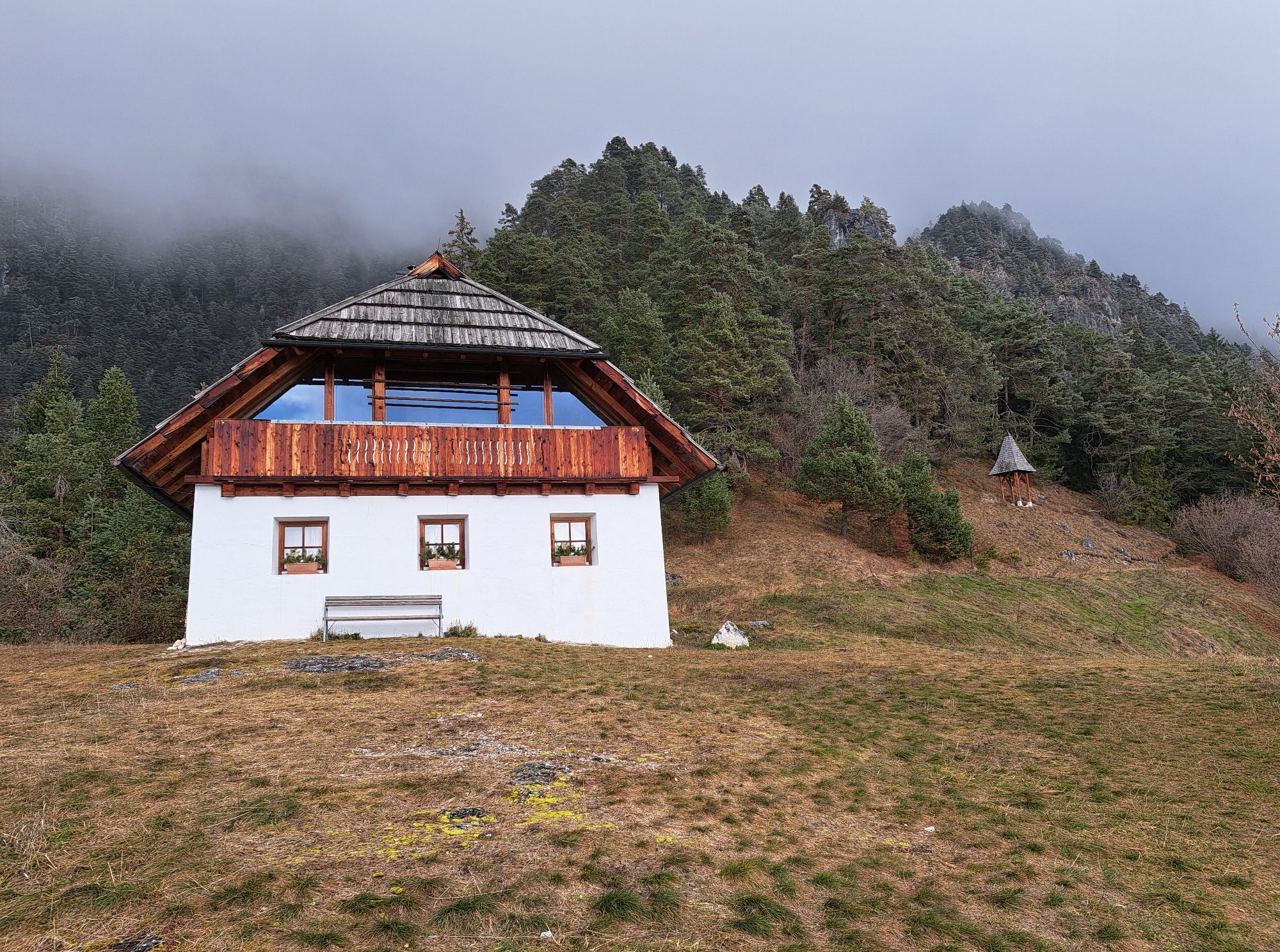
From the car park in Förolach you walk straight uphill, through the village, in a northward direction, to the forest edge at the end of the residential area. At the following crossroads, turn right onto the gravel road and shortly afterwards turn left onto the path heading north. The route runs through the ravine, along rocky forests, uphill - at about 1,450m you reach a clearing with the “masonry” hunting hut. You walk across the clearing in a northern direction and follow the path which crosses steep mountain meadows beneath individual rock walls up to the Förolacher Saddle (1,840m). Here you turn right and hike over the ridge-like spine eastward toward the summit Graslitzen.
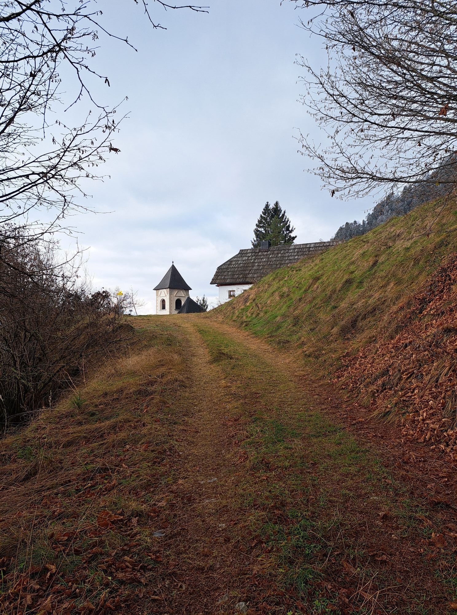
The route continues east along the ridge - to the Graslitzen east summit. You continue your way eastwards and after the following hut turn right - the path leads you southward to the Geißrücken. From here you follow the steeper path downhill through the forest in a southwest direction until you reach the small plateau with the church St. Steben.
Below the church begins the path which also runs downhill southwest - you finally reach a fork at the gravel road - here you turn right. Shortly afterwards you reach the junction where your ascent path meets your descent path - from here you walk the remaining minutes back along the already known path to the starting point of the hike.
Da
Care for nature – landowners – your health.... and safety on the mountain have the highest priority on your tour and the associated tour planning!
Therefore, inquire about the rules of conduct before each hike - Safety on the Mountain - as well as the current weather conditions.
Waste disposal:
Waste cannot always be avoided - but it has no place in nature and must be disposed of properly (preferably in the valley or at home).
Emergency numbers:
European emergency number: 112 (access from any available network)
Alpine emergency Austria: 140
Via B111 (Gailtal Road) from Kötschach-Mauthen or Hermagor or Nötsch/Villach to Förolach.
Travel by bus from Villach or Hermagor (Kötschach-Mauthen) to Förolach is also possible.
Details at - Mobility Information Nassfeld and Route Planner Carinthian Lines
Please observe any parking instructions from the respective landowners as well as the applicable legal regulations.
You will find this and many other infos at - Tour tips and provider information
Dining options:
In Hermagor and the surrounding villages there are numerous year-round open dining options - details at Service A-Z.
The tour features a very long ridge that is not technically extremely difficult but is physically challenging due to the large altitude difference. Especially in this area, you need, among other things, very good surefootedness and a head for heights.
Pridobite vpogled Vedno v živo na mestu z več kot 9.500 spletnimi kamerami. bergfex Kot uporabnik Pro si lahko zdaj ogledate ustrezne spletne kamere za številne izlete v aplikaciji izleti iz. Tako si lahko neposredno ogledate trenutne razmere. 
Priljubljeni izleti v okolici
- 5.0
W10 - Large lake round - Weissensee
težkoMountainbike 31.5 km - 4.7
W5 - Naggler Alm Round Weissensee
srednjaMountainbike 15.8 km - 4.9
Slow Trail Weissensee
srednjaPohodništvo 6.69 km - 4.6
RW_N9 Weißenbachklamm
srednjaPohodništvo 7.49 km - 4.9
Weissensee Ost- nach Westufer
svetlobaPohodništvo 10.2 km - 4.9
Parkplatz Seetal - STAFF und retour
srednjaPohodništvo 13.2 km - 4.6
Bergstation Weißensee bis Golz
srednjaPohodništvo 14.8 km - 5.0
Bodenalm - Ostufer - mit dem Schiff zurück
Mountainbike 19.1 km - 4.4
WY_W2 hike to the Alm behind the Brunn
srednjaZimsko pohodništvo 3.04 km - 4.9
Weißenbachklamm
težkoPohodništvo 5.80 km

Pohodništvo in sledenje


Ne zamudite ponudb in navdiha za naslednje počitnice
Vaš e-poštni naslov je bil dodan na poštni seznam.





