







Scharnik route in the Kreuzeck group
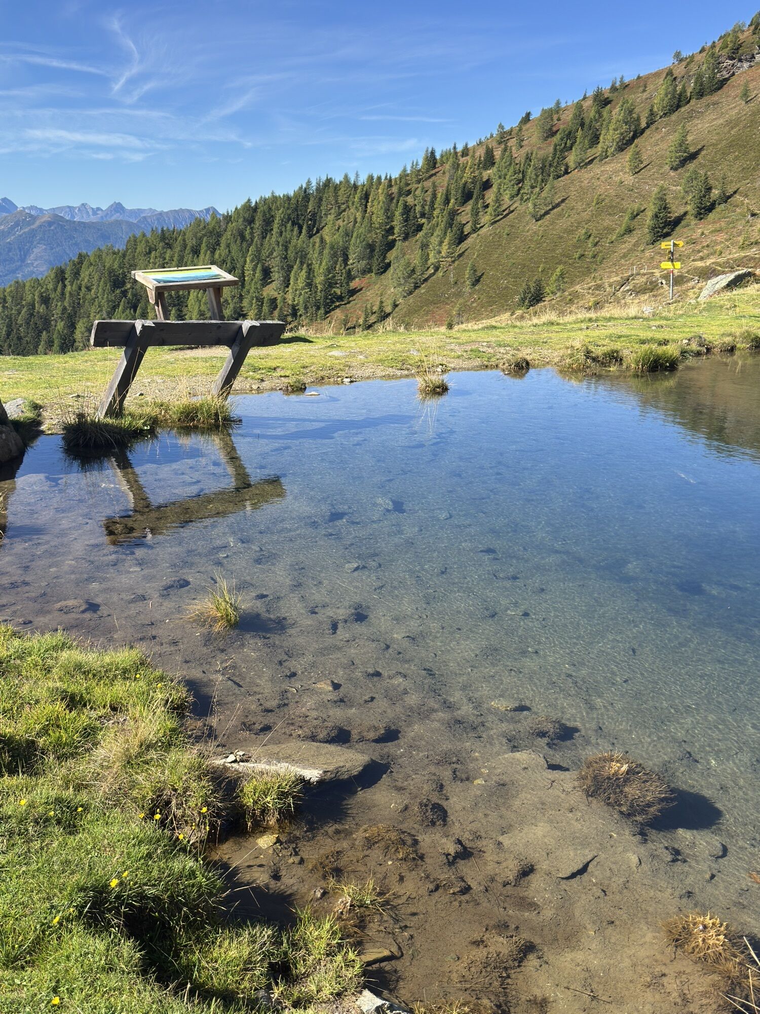
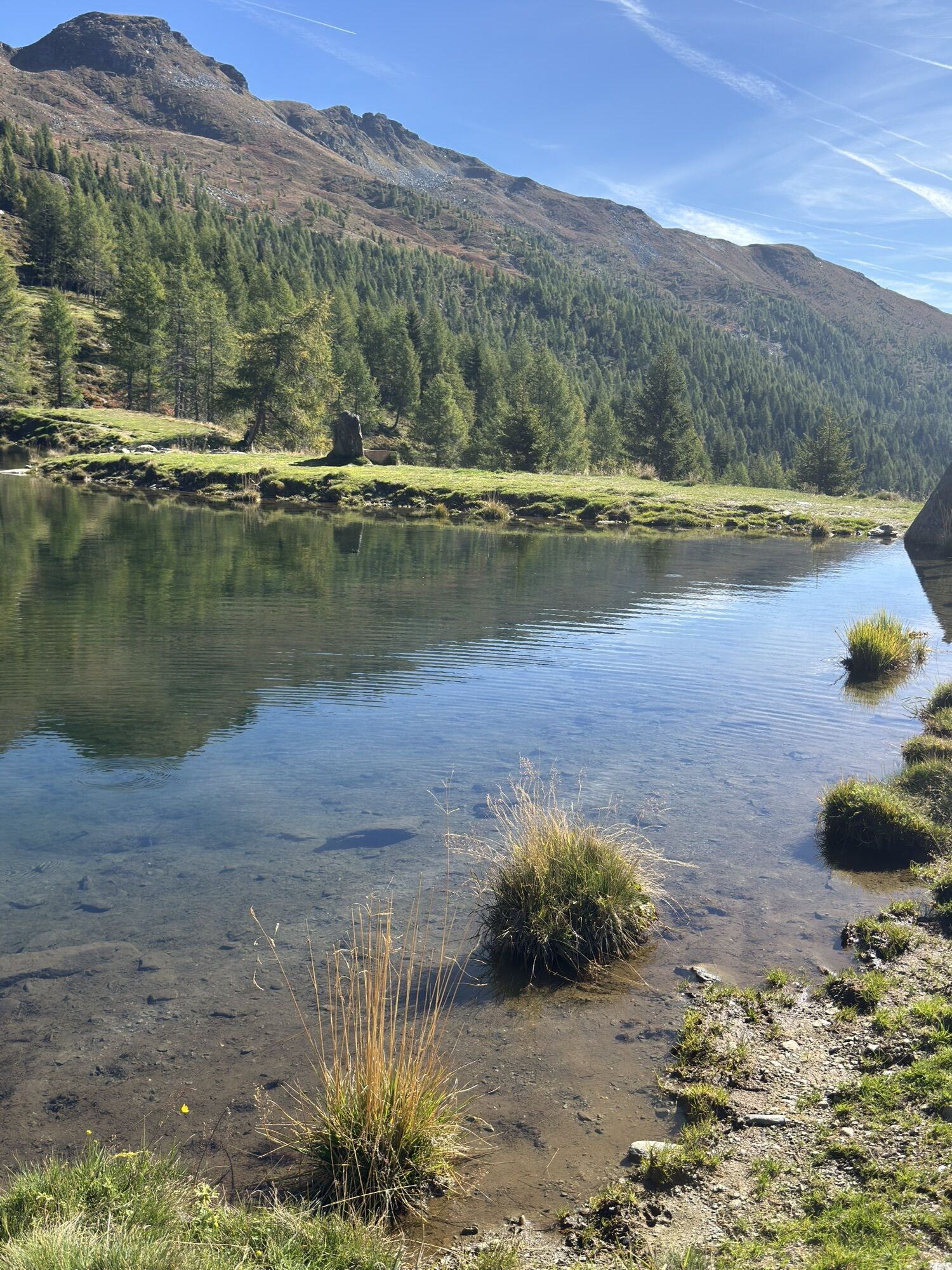
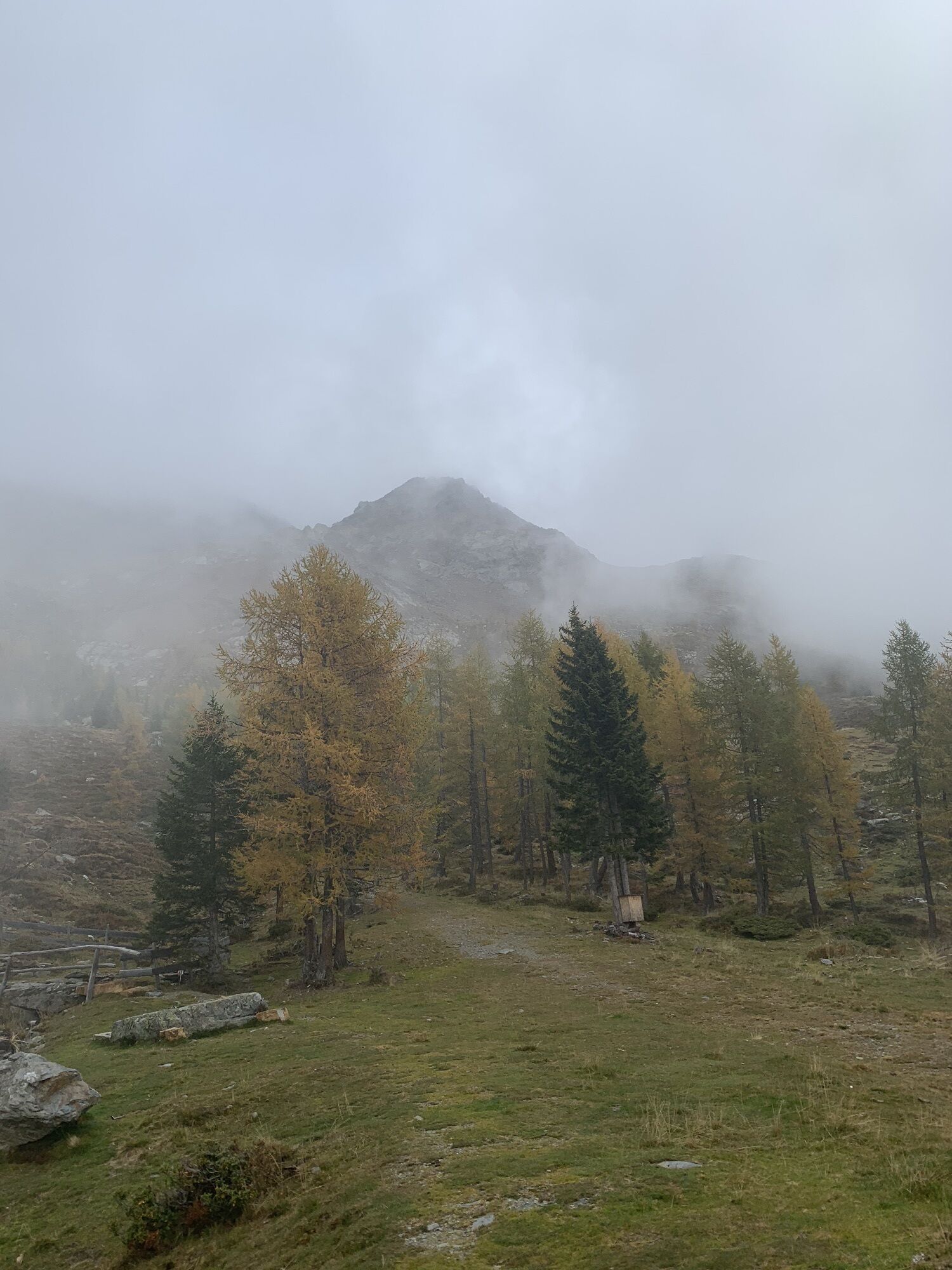
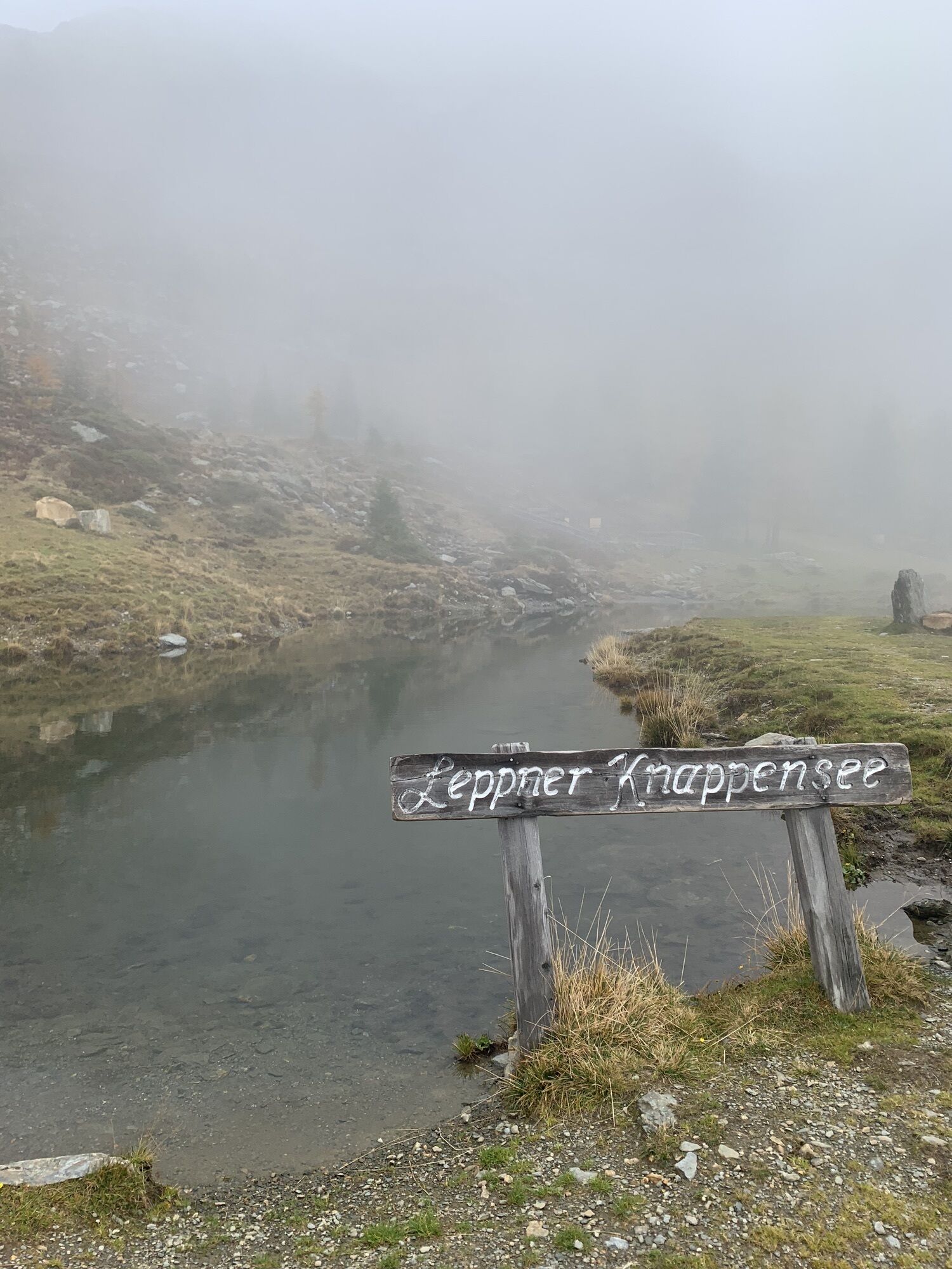
Challenging summit route to the local mountain of Irschen and the most beautiful viewpoint mountain in the Kreuzeck group. Leppner Alm parking lot - via Ochsnerhütte to Seidernitztörl - Mokarspitze - Griebitschalm...
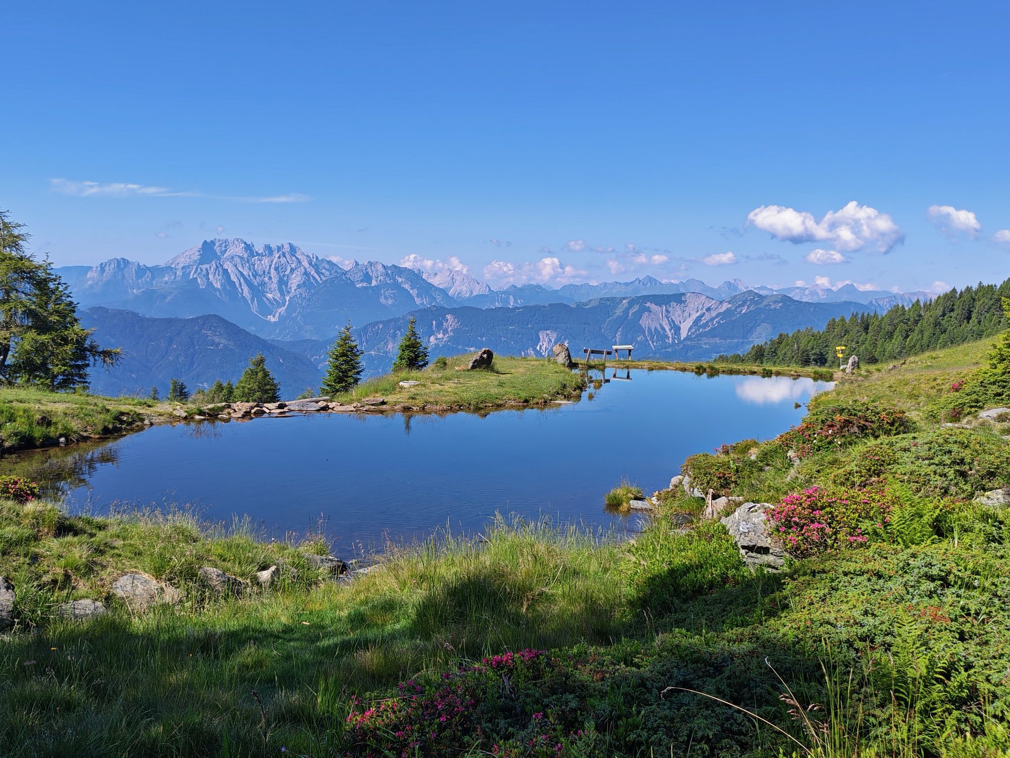
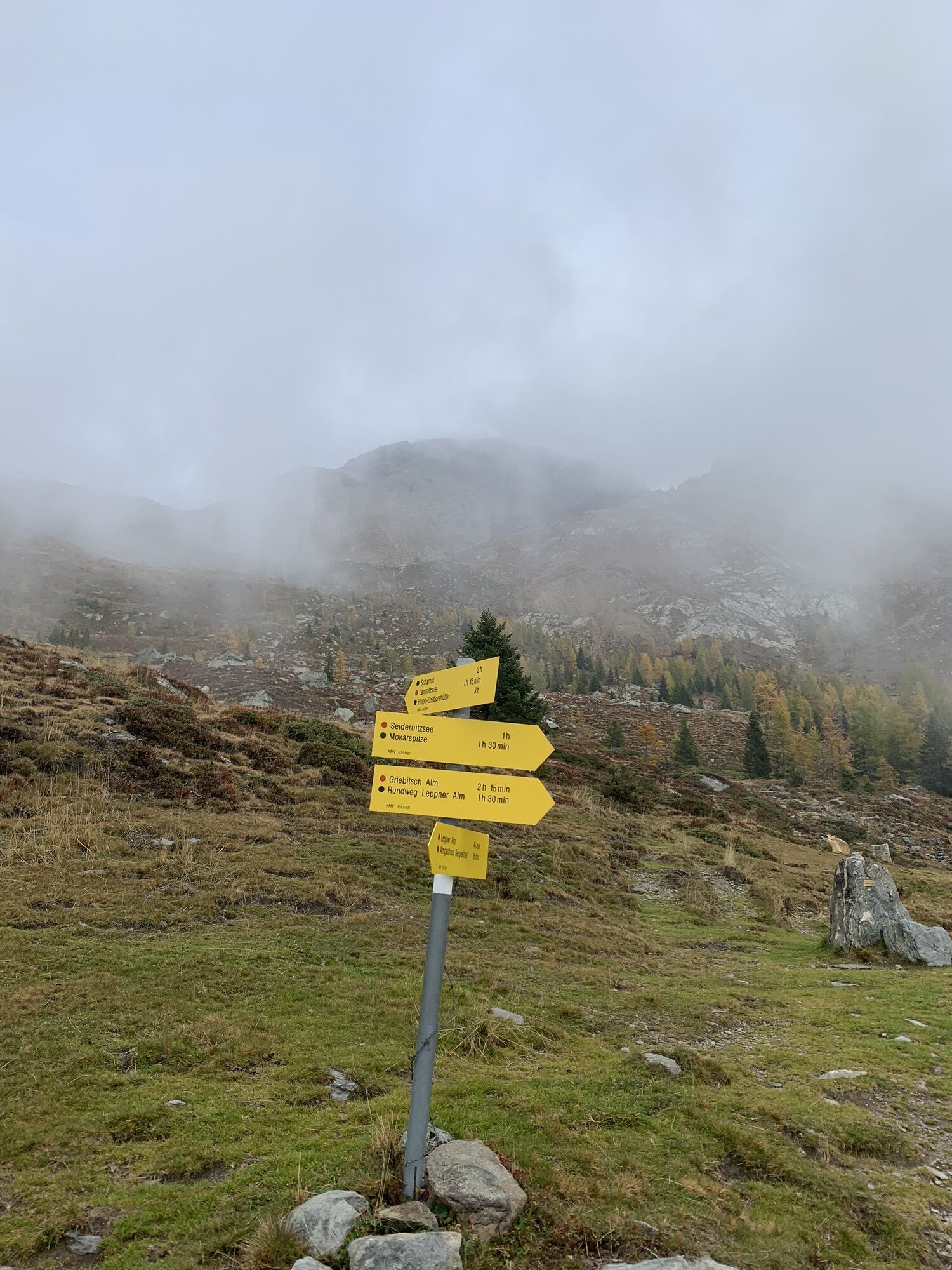
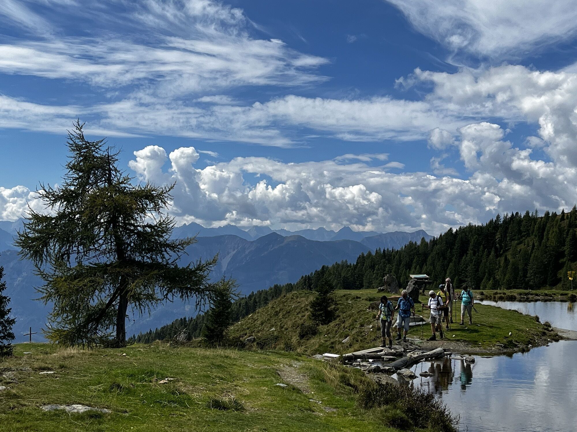
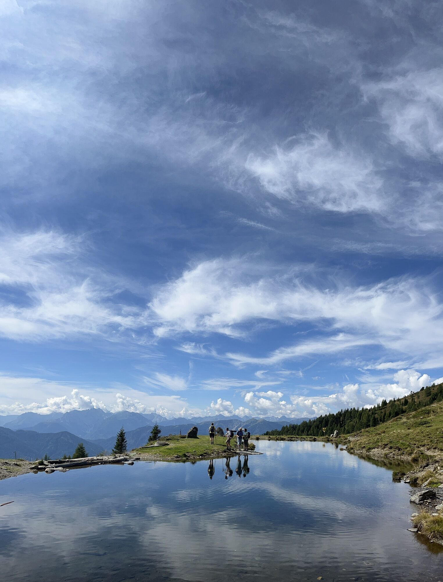
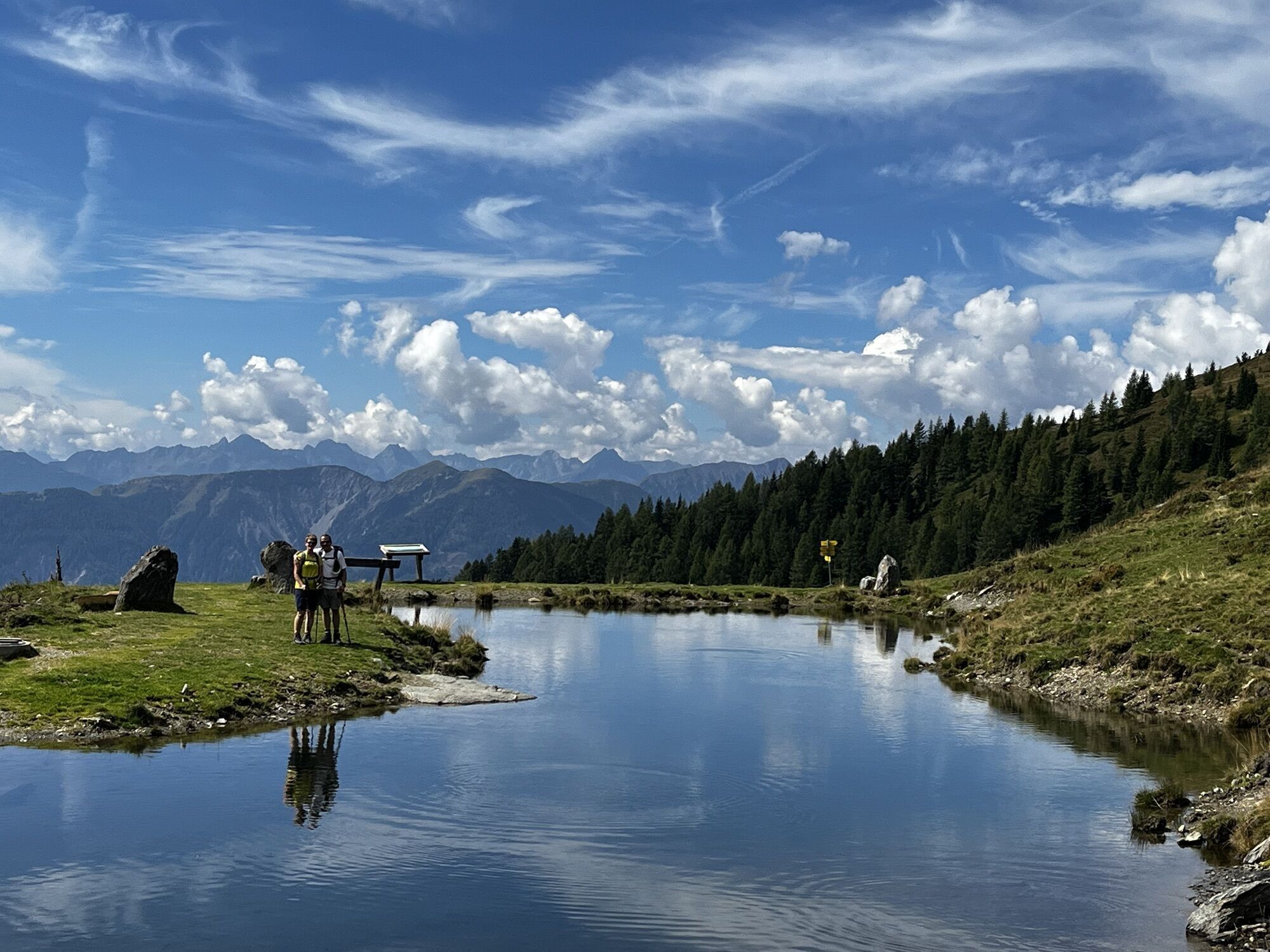
Challenging summit route to the local mountain of Irschen and the most beautiful viewpoint mountain in the Kreuzeck group. Leppner Alm parking lot - via Ochsnerhütte to Seidernitztörl - Mokarspitze - Griebitschalm - Leppner Alm; Terrain: First leisurely over the alpine meadows, then a steep path to the summit. Difficulty level: moderate, sure-footedness and a head for heights required; Infrastructure - dining options: From June to mid-September, the Sennerhütte "Ochsneralm" is operated on Leppner Alm. Driving up to Leppner Alm by car is possible. Highlights: Impressive views of the surrounding mountain landscape – summits of the Hohe Tauern, East Tyrolean mountains, view over the Gailtal Alps to the Carnic summits and the Julian Alps.
Starting point: Leppner Alm parking lot End point: Leppner Alm Length: 20 Total hiking time: 5.5 Trail number: - Difficulty: difficultSummit hiking trail
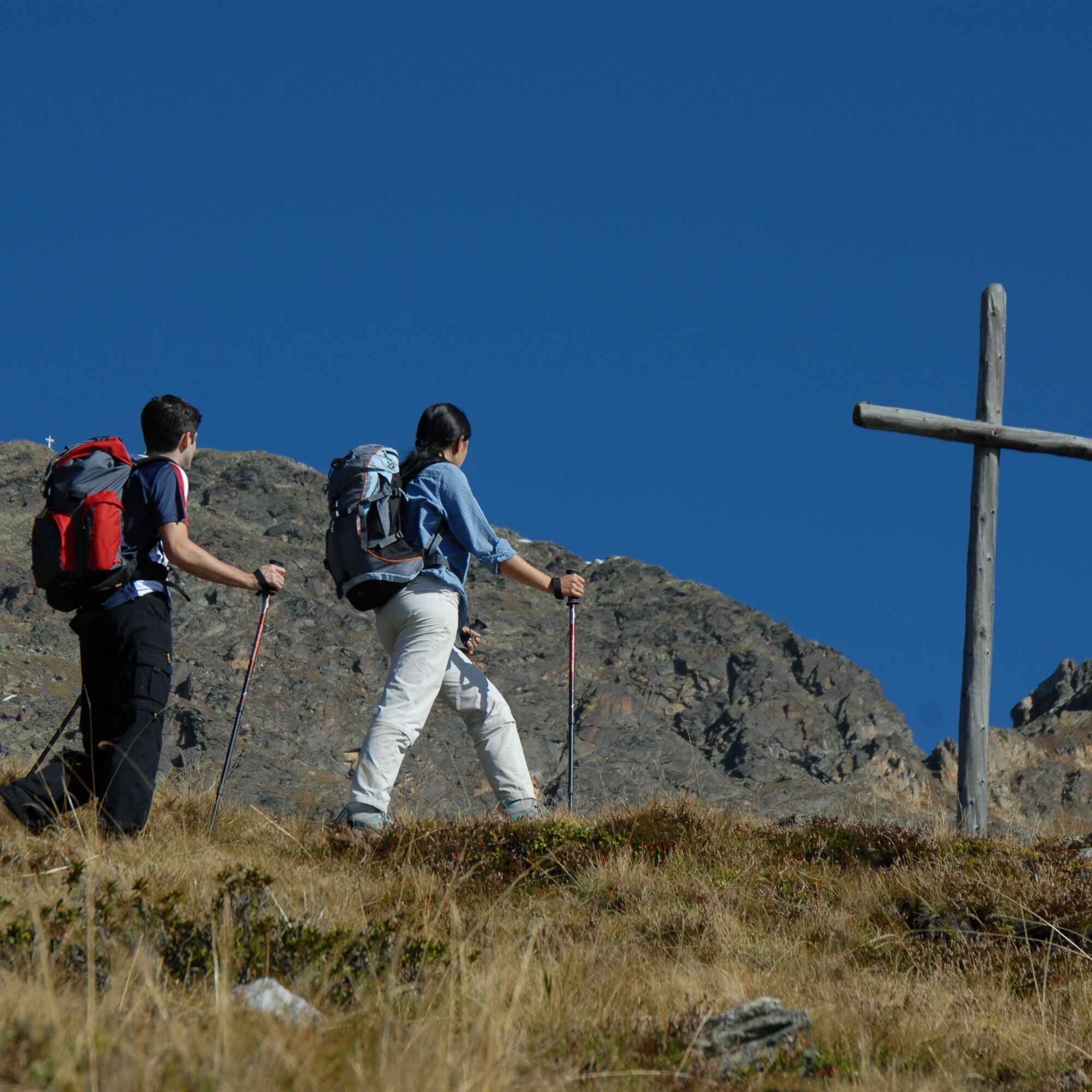
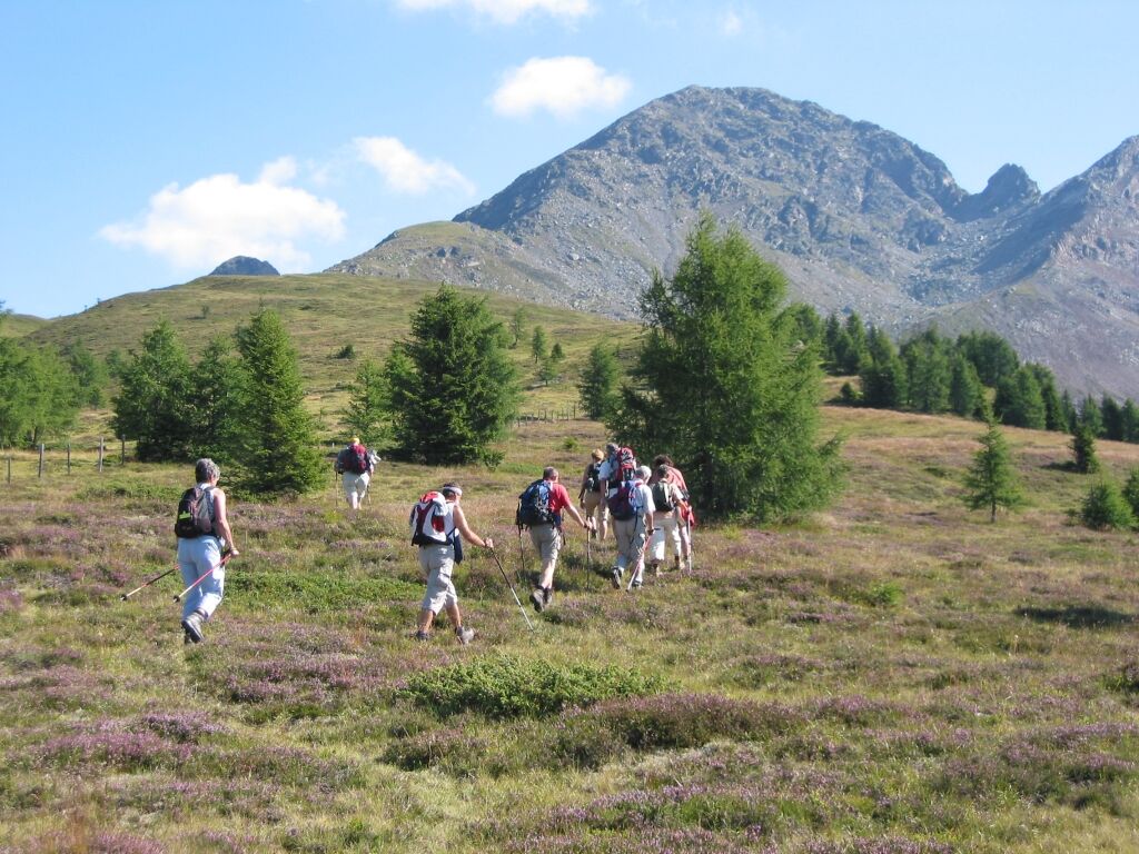
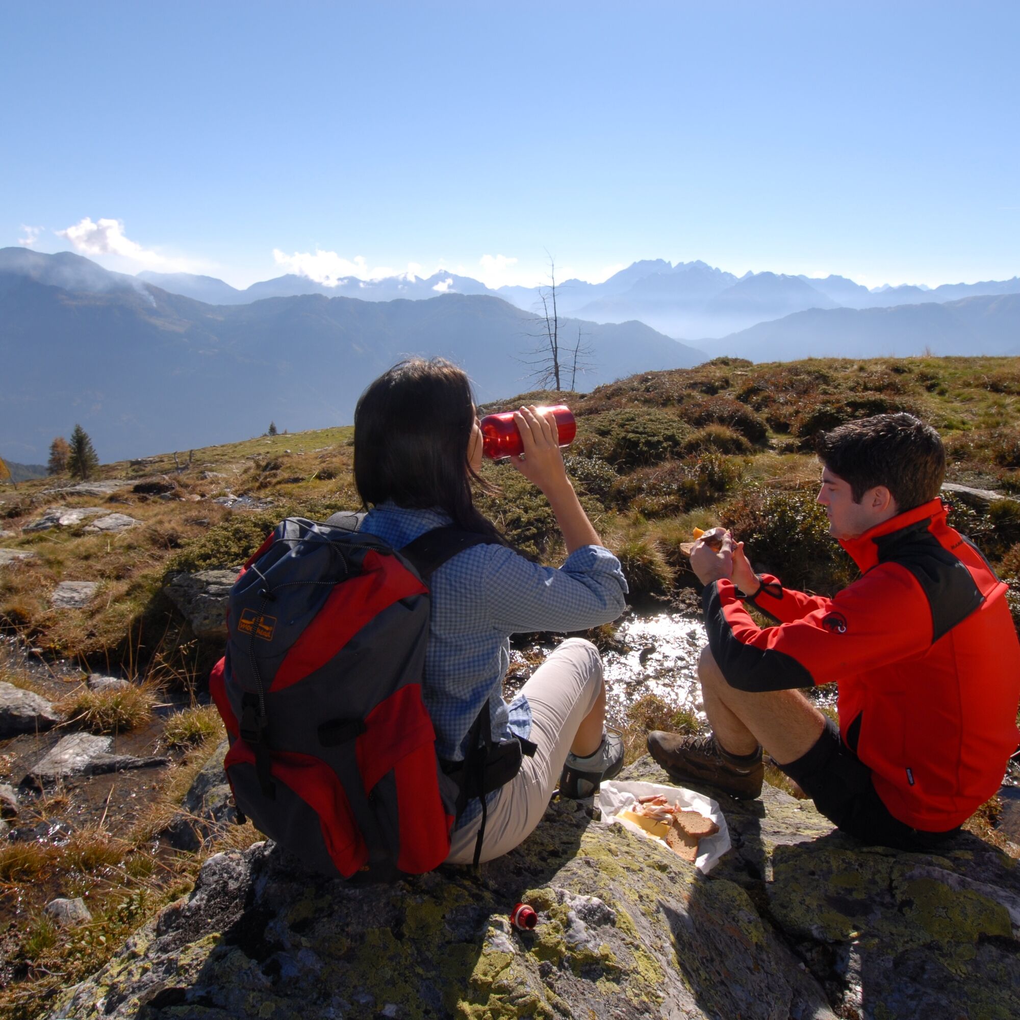
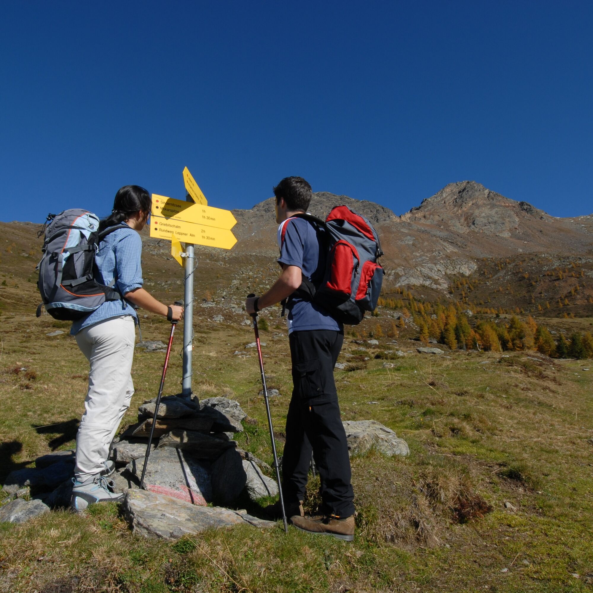

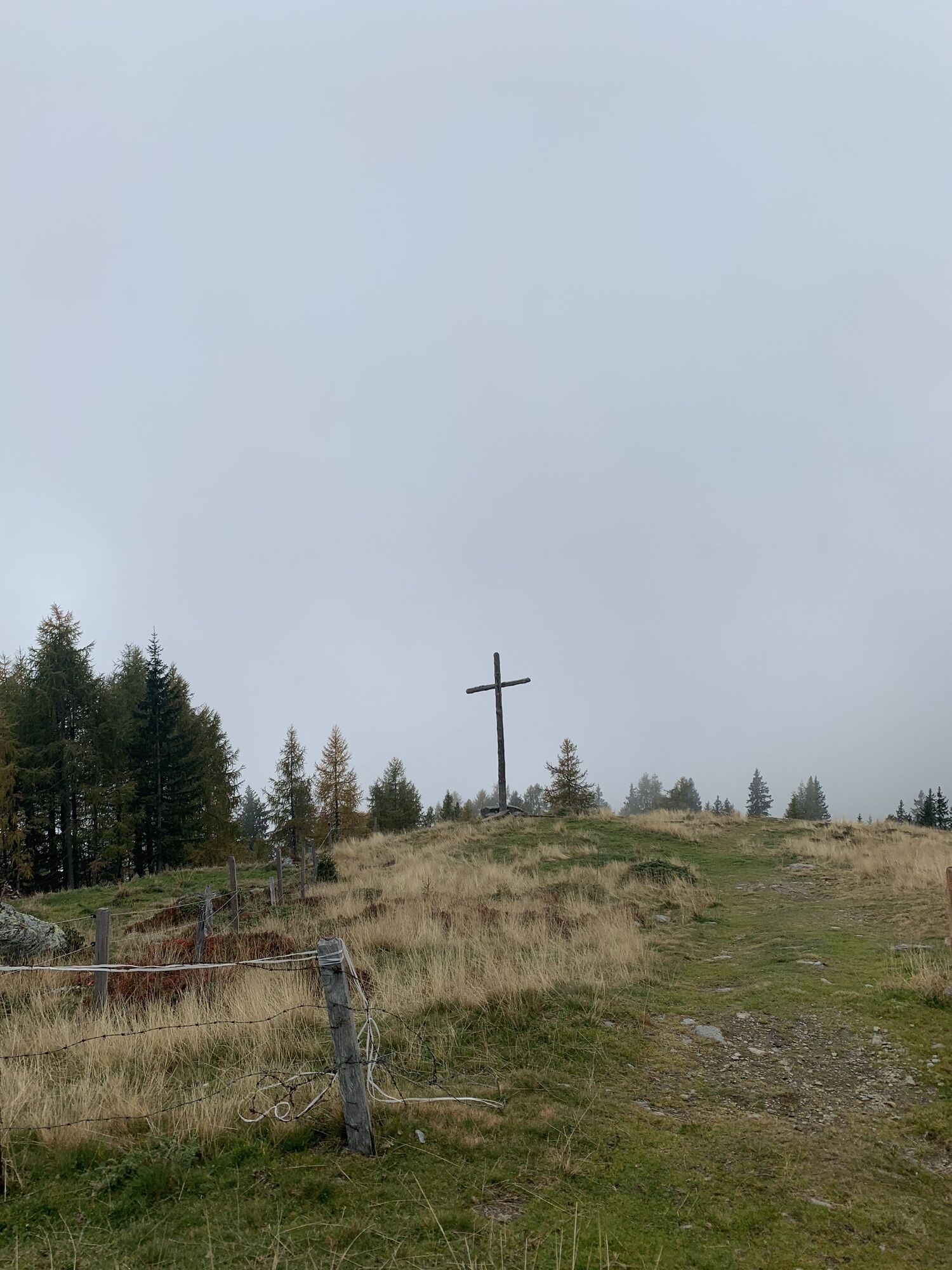
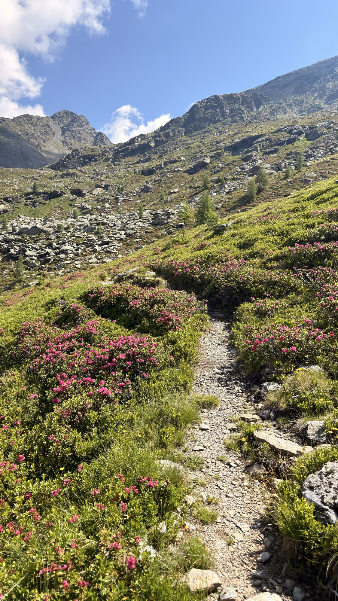
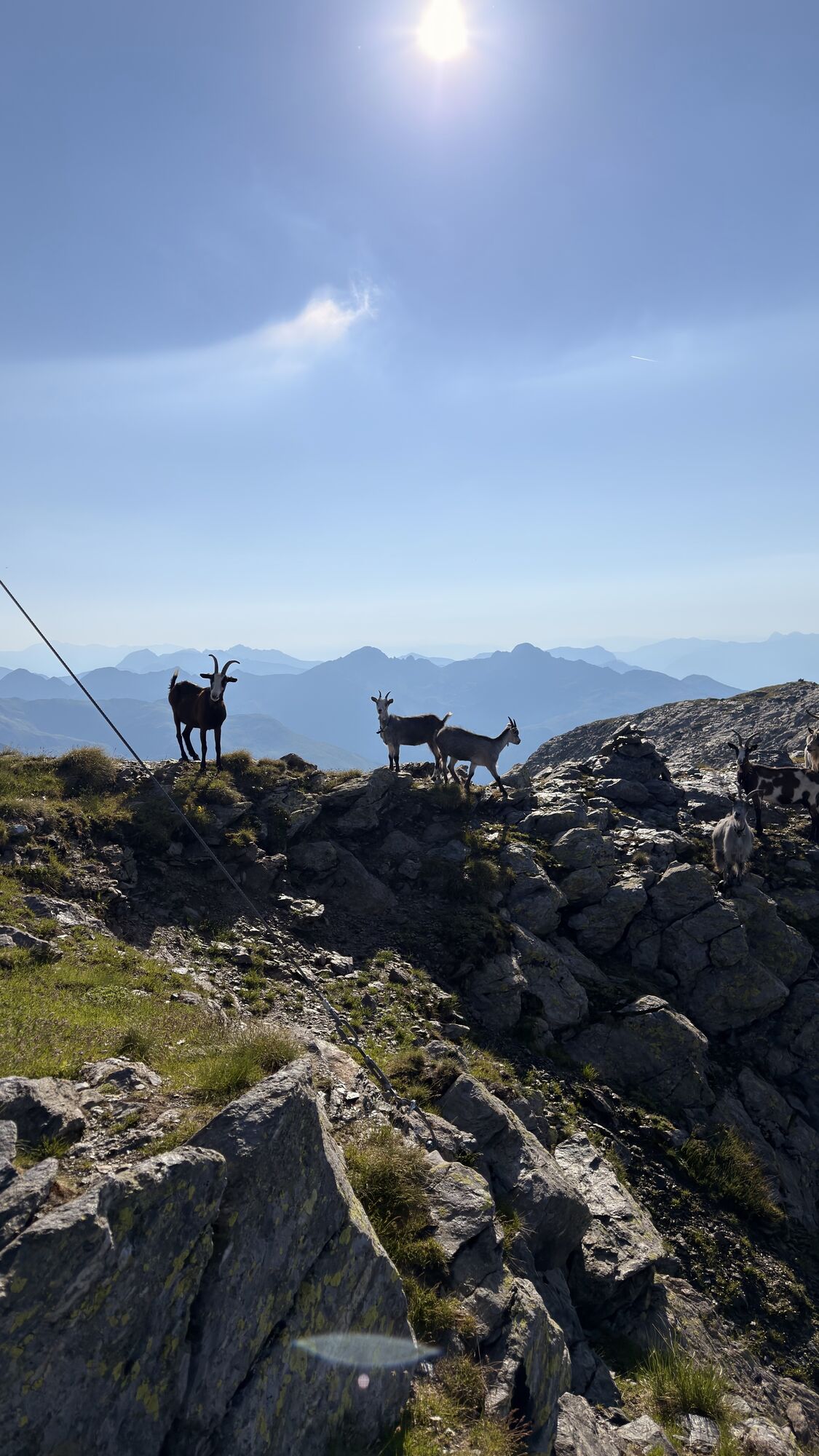
The Scharnik is considered the local mountain by the locals. Once in your life, you must have looked from the highest point of the municipality down into the valley. Indeed, the Scharnik is the most beautiful viewpoint mountain between the Drau and Möll valleys. The ascent starts from Leppner Alm. The first section should be taken slowly to save strength and stamina for the summit climb. Above the tree line, at the weather cross, a first resting pause is recommended. Then you go over the alpine meadows and can take another rest before the transition into the rocky zone. From now on, the path becomes steep and rocky. You ascend the summit via the southwest ridge. At some points you should also use your hands for a secure hold. The last meters are easier again before you reach the summit cross and can enjoy the impressive panoramic view at 2,656 meters above sea level.
After an extensive rest and signing the summit book, you descend via the northwest ridge. If you have your trekking poles with you, it will also relieve your joints. At the foot of the north-facing rock slope, also called "Gursgentörl", you walk left downhill in the direction of "Weneberger Alm". The first stony path then offers you a shortcut back to Leppner Alm.
Happy hiking!
Good fitness, sure-footedness and a head for heights required!!
Via the B100 to Gröfelhofer Wirt, then follow the signs to Irschen and continue to Leppner Alm.
Leppner Alm parking lot
www.irschen.com


Priljubljeni izleti v okolici
- 5.0
Ederplan round from the parking lot Stronach
srednjaPohodništvo 7.19 km - 4.8
Pirknerklamm (C)
srednjaVia ferrata 2 km - 4.8
Drau Cycle Path R1
svetlobaKolesarjenje 75.9 km - 4.2
Emberger Alm - Hochtristen
srednjaPohodništvo 9.50 km - 5.0
Emberger Alm 3er: Nassfeld, H.Gränten, Knoten
srednjaPohodništvo 11.6 km - 5.0
Water Experience Trail Greifenburg
srednjaPohodništvo 7.42 km - 4.3
Flower paradise Mussen WW_N18
srednjaPohodništvo 6.52 km - 4.7
Tolzer - Gaugen , Kärnten
težkoGorski pohodništvo 7.40 km - 4.8
Obervellach - Polinikhütte - Polinik Gipfel
srednjaPohodništvo 14.7 km - 5.0
Iselsberg-Stronach: Ederplan
srednjaPohodništvo 9.52 km

Pohodništvo in sledenje


Ne zamudite ponudb in navdiha za naslednje počitnice
Vaš e-poštni naslov je bil dodan na poštni seznam.





